California campgrounds and permits
1,064 facilities, 535 of which we can watch for cancellations.
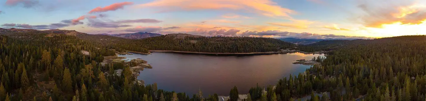 (Lake Alpine) Lodgepole CampgroundCampground · 19 sites
Overview Lodgepole Group Campground is located just two miles west of Lake Alpine in northern California.
- 1N09 Recreational Shooting SitesFacility · not watchable
In the San Bernardino National Forest, visitors can only target shoot in designated and signed areas and only at certain times due to fire danger rating.
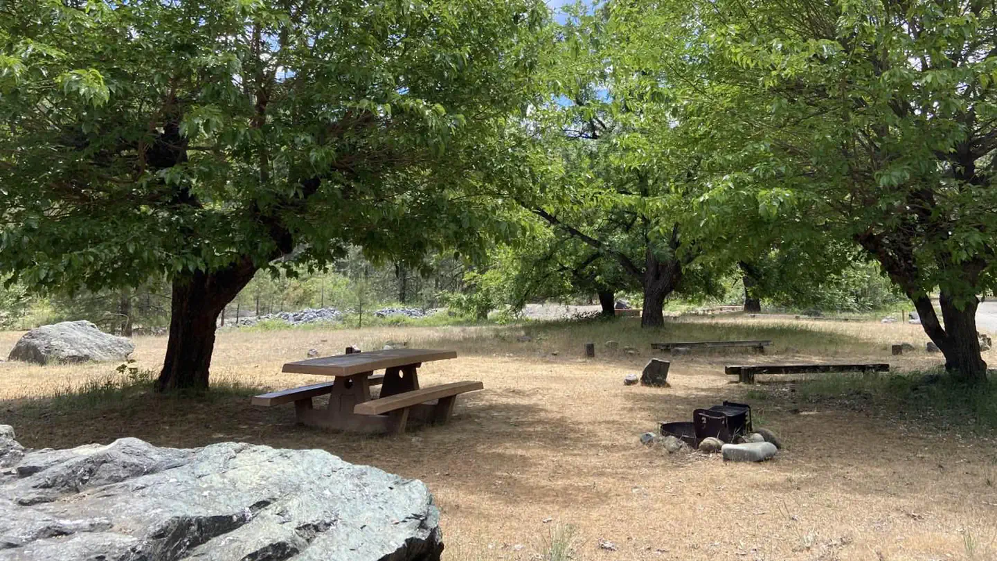 Ackerman CampgroundCampground · 51 sites
Overview Ackerman Campground is a lakeside facility that's a favorite of fishermen.
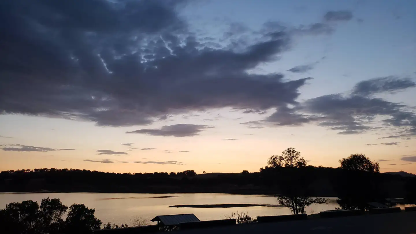 Acorn CampgroundCampground · 126 sites
Overview Acorn Campground is a sunny campground in the brush-covered hills of the Sierra Nevada Mountains.
- Adobe TrailheadFacility · not watchable
The site is located on Hwy #166. 20 miles east of Santa Maria. This trail is currently within the Front Fire Closure area. No access.
- Adventure Mountain Lake TahoeFacility · not watchable
Nestled on over 40 pristine acres at the top of Echo Summit, Adventure Mountain Lake Tahoe is South Lake Tahoe's premier machine groomed sledding, tubing, and…
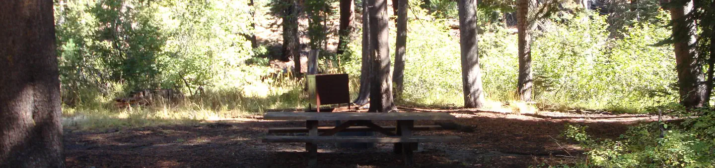 Agnew Horse CampCampground · 4 sites
Overview Agnew Horse Camp is located in Reds Meadow Valley, just west of the full-service community of Mammoth Lakes, California.
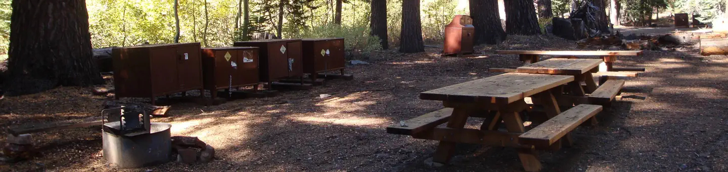 Agnew Meadows Group CampCampground · 4 sites
Overview Agnew Meadows Group Campground is located in the Reds Meadow Valley section of the eastern Sierra Nevada Mountains, just west of the full-service…
- Agua Dulce Equestrian TrailheadFacility · not watchable
Agua Dulce Equestrian Trailhead Distance 1.8 - 2.3 miles (one way) depending on trail connection Pets Allowed Yes Fees Adventure Pass Required Hike/Ride Time…
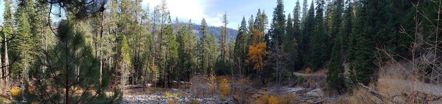 Ahart CampgroundCampground · 11 sites
Overview Ahart Campground is located on the tree covered banks of the North Fork of the American River near French Meadows Reservoir, about 40 miles from the…
- Aholul Group CampgroundCampground · not watchable
Sunset views from this site are dramatic. The group campground is one large site, which can accommodate 75+ people, and is by reservation only.
- Airport Flat CampgroundCampground · not watchable
Location: 23 miles east of Placerville on Highway 50 then 24 miles north on Ice House Road (Forest Road 3), and 3 miles north on Forest Road 33.
 AlmanorCampground · 21 sites
Overview Almanor Campground is a large family-friendly facility for individuals and large groups alike.
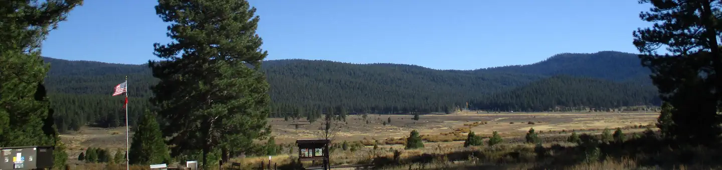 Alpine Meadow CampgroundCampground · 24 sites
Overview Located close to Lake Tahoe, Truckee, and Reno, Martis has a beautiful, peaceful campground off the beaten path.
- Alpine Slide at Magic MountainFacility · not watchable
Offers snow play on private land in the Big Bear valley.Alpine slide is located at 800 Wildrose Lane in the City of Big Bear Lake.
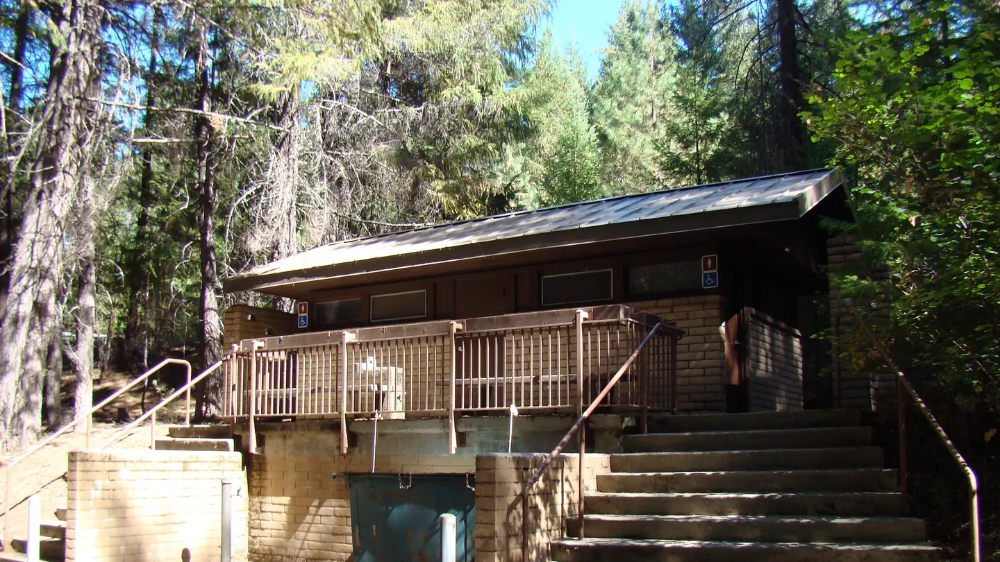 Alpine View CampgroundCampground · 53 sites
Overview Alpine View Campground is located in the Trinity Unit of the Whiskeytown-Shasta-Trinity National Recreation Area at an elevation of 2,400 feet.
- Amargosa CanyonFacility · not watchable
Overview The China Ranch Trail provides access to a network of hiking trails along Willow Creek and the Amargosa River—the beating heart of the Amargosa Basin…
 American Canyon CampgroundCampground · 12 sites
Overview American Canyon is a small, secluded campground which borders the Machesna Wilderness.
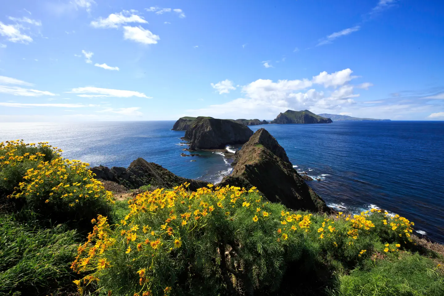 Anacapa IslandCampground · 14 sites
Overview Once visitors have scaled the rugged cliffs using the stairwell from the Landing Cove, they will be rewarded with a campground perched on the bluffs…
- Angeles National Forest Supervisor's OfficeFacility · not watchable
The Angeles National Forest Supervisor's Office is located at 701 N. Santa Anita Ave., Arcadia, CA 91006 Jerry Perez, Forest Supervisor Voice (626) 574-1613…
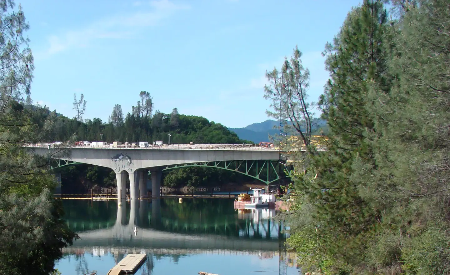 Antlers (Shasta Lake, CA)Campground · 58 sites
Overview Antlers Campground is situated on a bluff above the Sacramento arm of Shasta Lake. The campground has beautiful views of the lake.
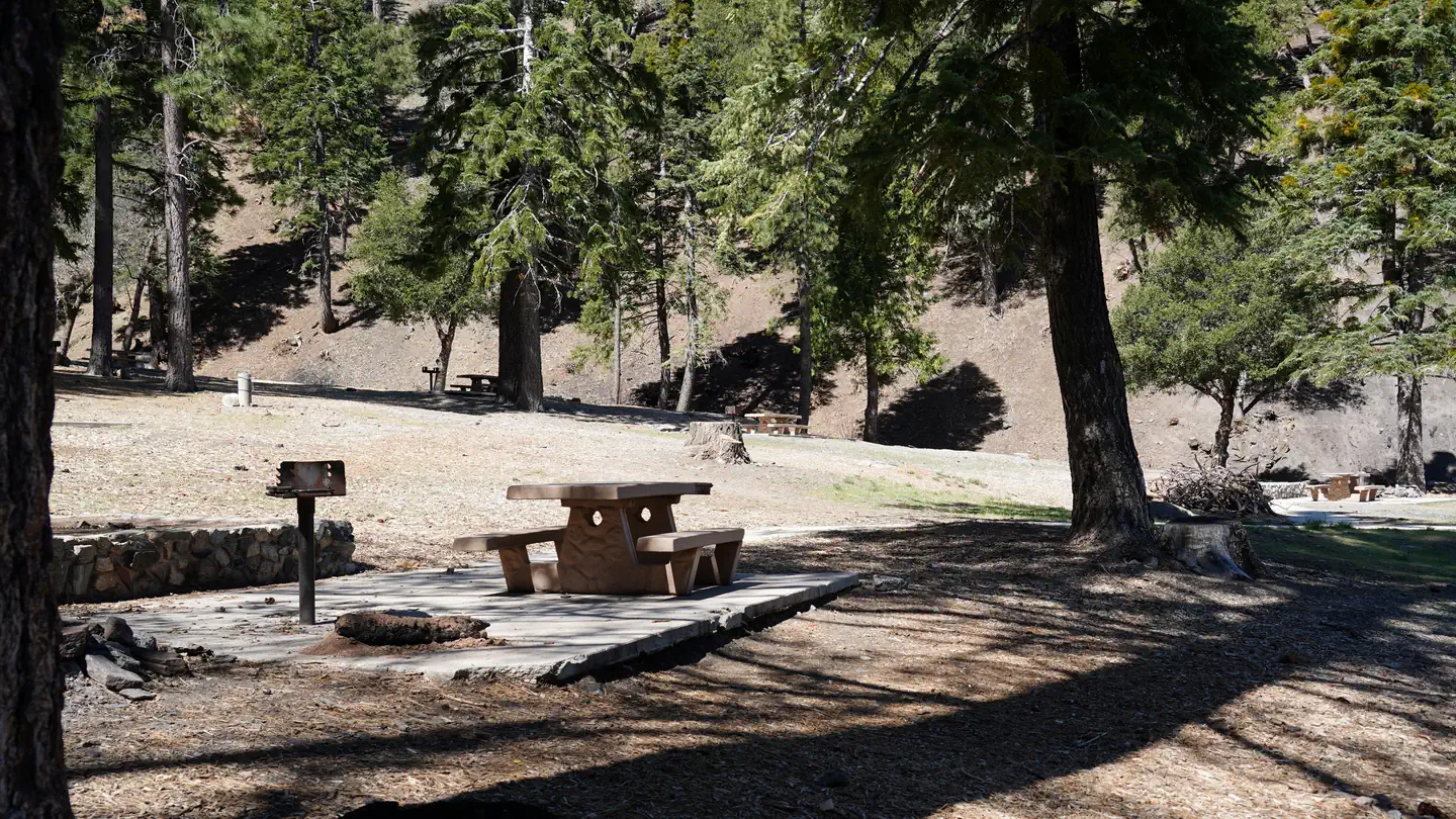 Appletree CampgroundCampground · 8 sites
Overview Nestled in a scenic canyon just off the Big Pines Highway, Apple Tree provides a scenic and relaxing destination for camping, hiking, picnicking and…
- Applewhite CampgroundCampground · not watchable
Located three miles north of the Lytle Creek Ranger Station, the campground provides an easy get-away.
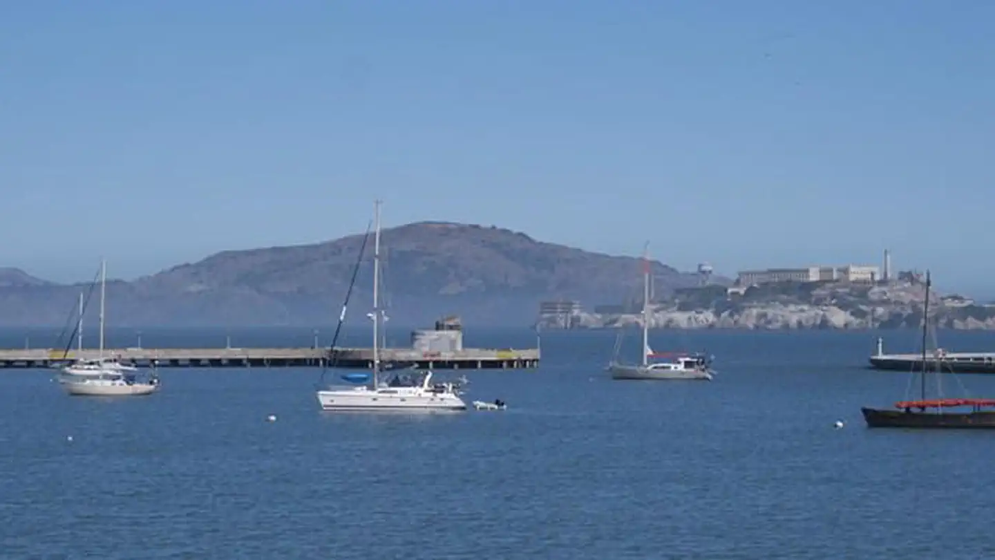 Aquatic Park Cove, Black Point Overnight Anchoring, Sailing Vessels only (auxiliary engine OK)Campground · 12 sites
Overview Aquatic Park Cove is a vibrantly urban harbor that mimics a natural anchorage and is located on the Pacific shores of one of America's great West…
- Arnold Rim Trail - Valley View Drive TrailheadFacility · not watchable
Arnold Rim Trail - Valley View Drive Trailhead The access off this road provides the shortest route to destinations like Cougar Rock and Top of the World.
- Arrastre Creek OHV Road 2N02Facility · not watchable
This road is just under 13 miles long and runs from Baldwin Lake Road to the eastern forest boundary, continueing on to Pioneertown in the Morongo Valley.
- Arrastre Recreational Shooting Site 1Facility · not watchable
In the San Bernardino National Forest, visitors can only target shoot in designated and signed areas and only at certain times due to fire danger rating.
- Arrowbear LakeFacility · not watchable
Rainbow Trout planted twice per month in spring. Small high elevation lake. Bait & tackle, store, resort. Barrier-free access.
- Arrowhead Fish & Game - Shooting RangeFacility · not watchable
Arrowhead Fish and Game Conservation Club was established in 1966. The facilities include a trap range and a rifle and pistol range.
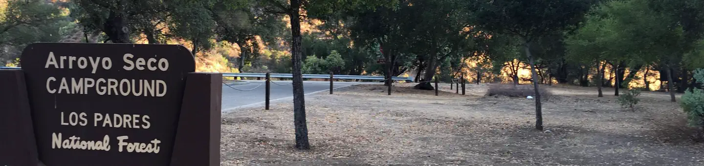 Arroyo SecoCampground · 39 sites
Overview Arroyo Seco Campground is a semi-rustic, but developed facility in California's westernmost national forest.
- Arroyo Seco Group CampgroundCampground · not watchable
Arroyo Seco Campground is a semi-rustic, but developed facility in California’s westernmost national forest.
- Arroyo Seco TrailheadFacility · not watchable
This trailhead offers access to the popular area of the Arroyo Seco River known as The Gorge and is notable for the long string of swimming holes with crystal…
- Ash Meadows OHV Road 2N75Facility · not watchable
The Ash Meadows OHV Road 2N75 runs just under 2 miles from Yosemite Drive in Lake Arrowhead to Crab Flats OHV Road 3N34.
- Aspen Glen Snow Play AreaFacility · not watchable
During the winter months, the area around the Aspen Glen picnic area becomes a popular winter wonderland to sled, build snowmen and make snow angels.Click here…
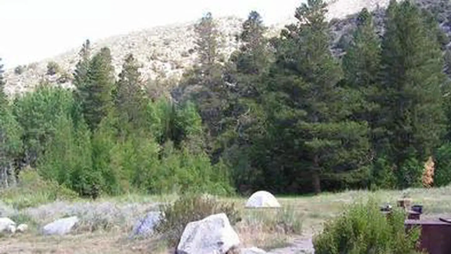 Aspen Group (Inyo)Campground · 1 sites
Overview Aspen Group Campground is a secluded, creek side camp in Inyo National Forest between Mammoth Lakes and Bishop, California.
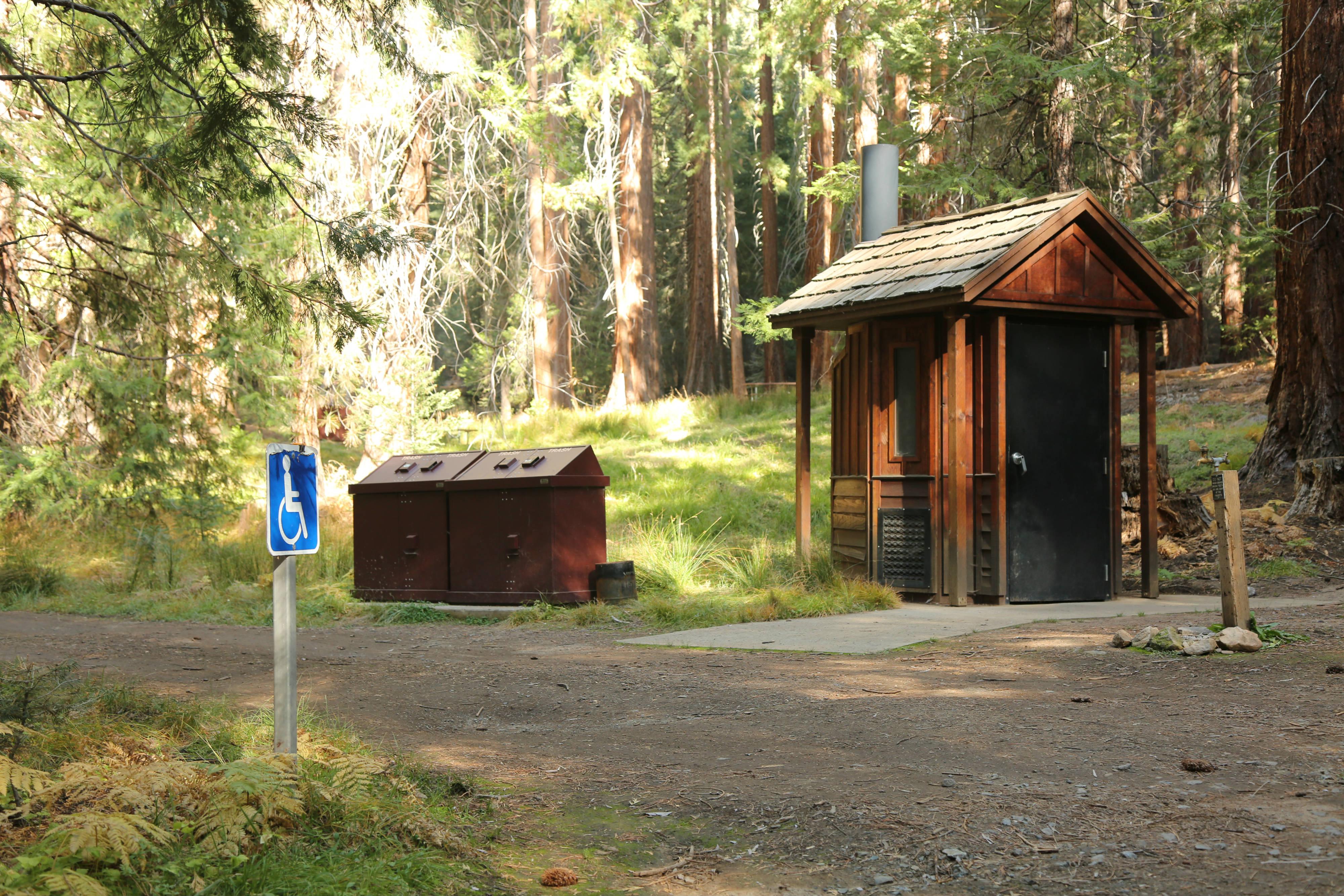 Atwell Mill CampgroundCampground · 19 sites
Overview The Mineral King area features the highest elevation campground in the parks. At 7,500 feet (2280 m), it is only open during the summer months.
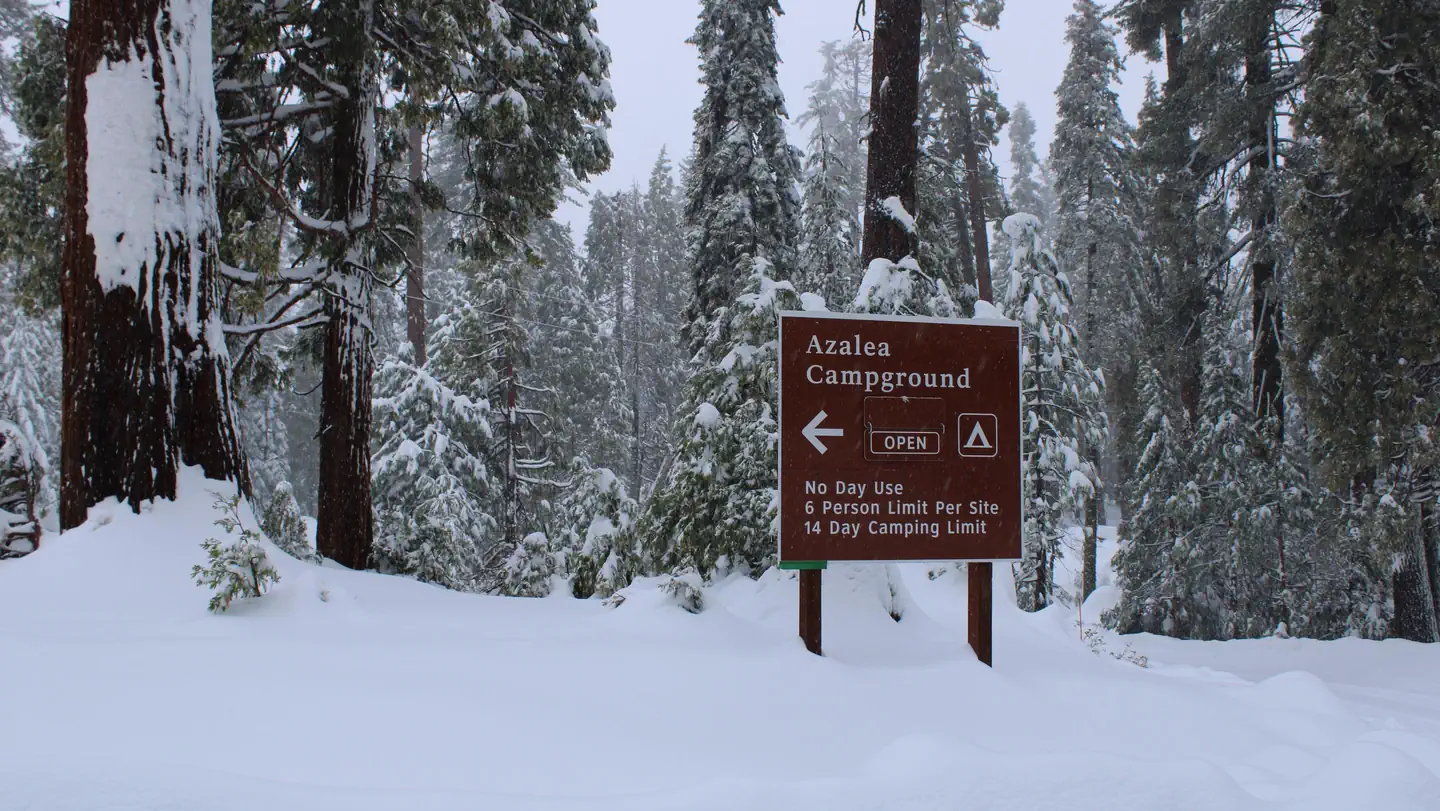 Azalea CampgroundCampground · 102 sites
Overview Azalea campground is centrally located in Sequoia and Kings Canyon National Parks in central California's rugged Sierra Nevada range.
- Azalea Cove CampgroundCampground · not watchable
Union Valley Bike Trail & Campground Recreation Opportunity Guide (ROG) - This guide contains information, maps, and directions to assist you in enjoying your…
- Badger Flats GroupCampground · 1 sites
Overview Badger Flats Group Camp sits in a quiet and isolated area along Rancheria Creek, at an elevation of over 8,000 feet in the High Sierra.
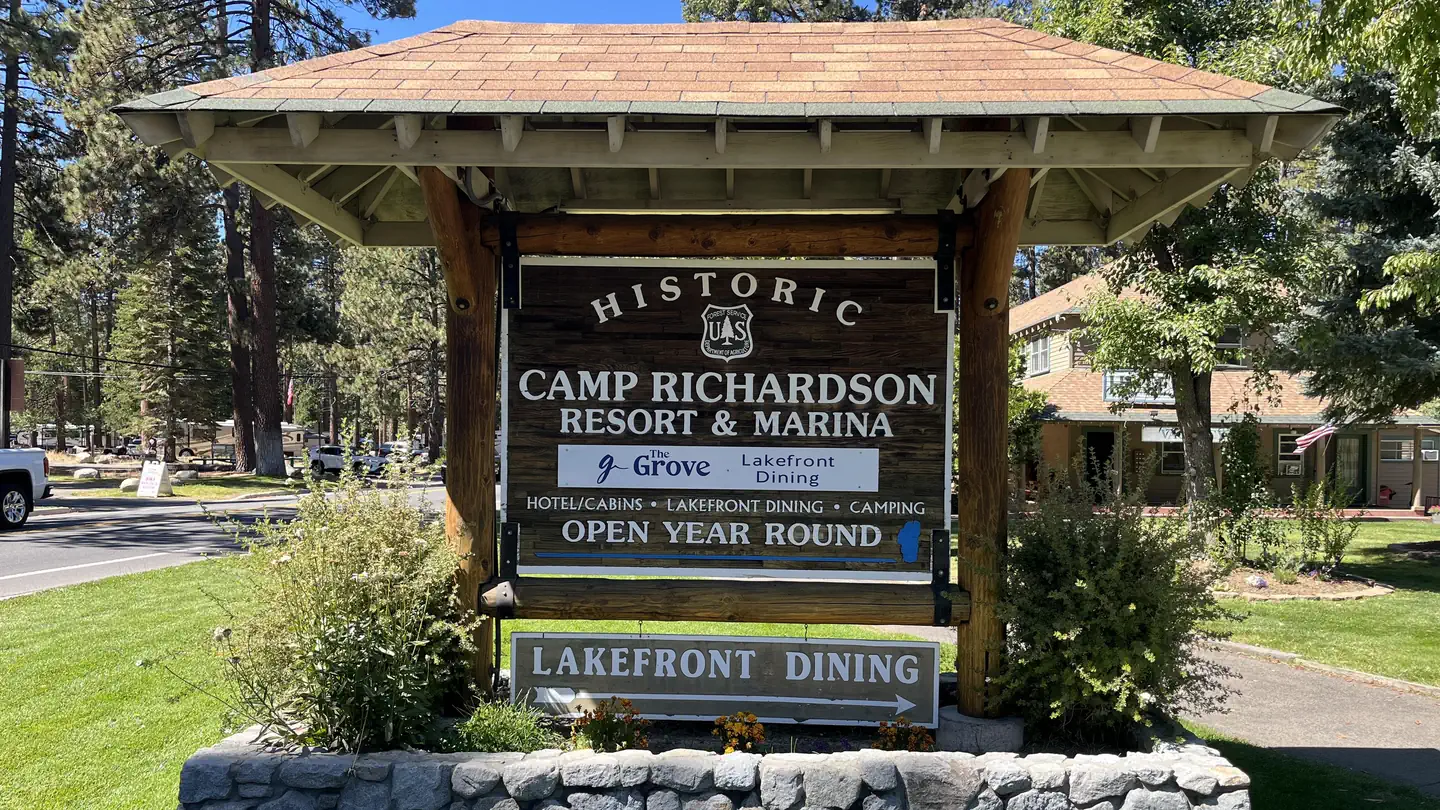 Badgers Den at Camp Richardson ResortCampground · 84 sites
Overview Badger’s Den Campground provides a Lake Tahoe and Camp Richardson Resort experience unlike any other.
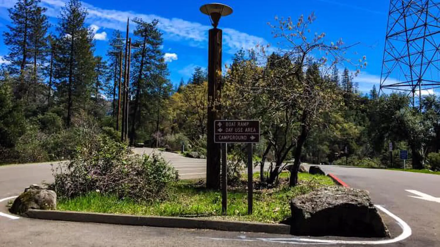 Bailey CoveCampground · 7 sites
Overview Bailey Cove Campground is nestled in a forested area on the McCloud Arm of Shasta Lake.
- Bailey Cove Public Boat RampFacility · not watchable
Located on the lower McCloud River Arm in the Bailey Cove facilities area. There are two launching lanes available until the lake level drops to 50 feet.
- Baker CampgroundCampground · not watchable
Baker Campground situated in a mixed conifer forest along the banks of the Stanislaus River.
- Bald Mountain Trail SystemFacility · not watchable
The Bald Mountain Trail system is located on the eastern end of low ridge (1,000 feet of vertical) that extends from the foothills of Diamond Mountain east out…
- Baldy Mesa OHV Road 3N21Facility · not watchable
Baldy Mesa OHV Road 3N21 runs from the Baldy Mesa (Trestles) OHV Staging Area to the Desert Front OHV Road 3N24 which heads west to Baldy Mesa in the west…
- Ballinger CanyonFacility · not watchable
The Ballinger and Deer Park areas are geared toward OHV use. These areas provide 11 4WD roads, 12 ATV trails, and 14 motorcycle trails.
- Banff OHV Road 2N28YFacility · not watchable
This road travels from the junction with North Shore Spur Road 2N96 (street legal only road) to the junction with Skyline OHV Road 2N27Y and Rouse Ranch OHV…
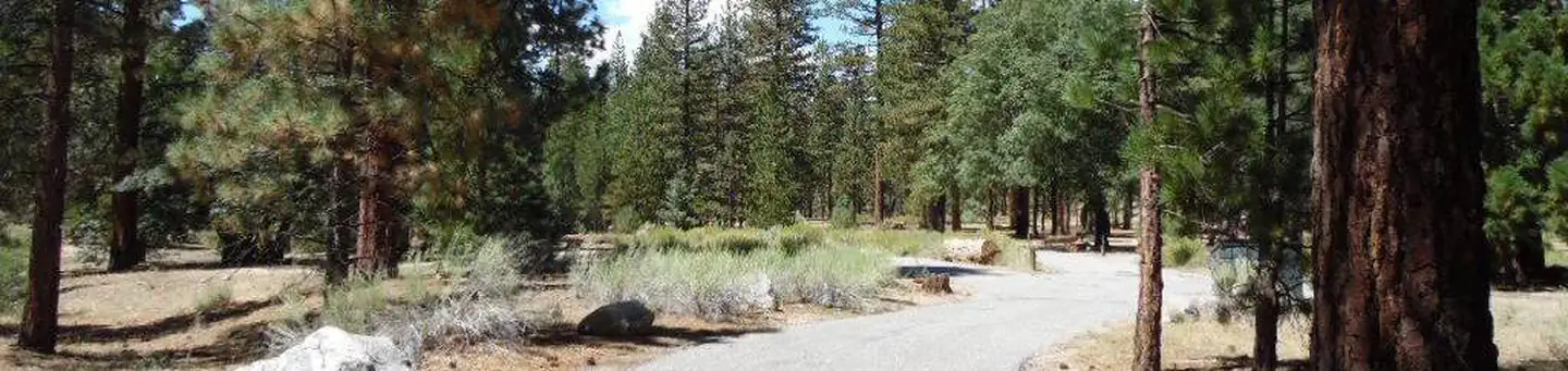 Barton FlatsCampground · 52 sites
Overview The Barton Flats Campground provides a taste of just about everything the San Bernardino National Forest has to offer.
- Barton Flats Snow Play AreaFacility · not watchable
The Barton Flats snow play area along State Highway 38 is a favorite destination for building snow men, snow angels and tossing snowballs.
- Battle Creek CampgroundCampground · not watchable
Battle Creek Campground is a developed campground with 50 designated sites and a maximum of 8 people per site. Grills and tables are provided.
- Bautista Creek - National Wild & Scenic RiverFacility · not watchable
Bautista Creek drains the San Jacinto Mountains, and provides an important migration corridor for birds passing from the desert to the valley.
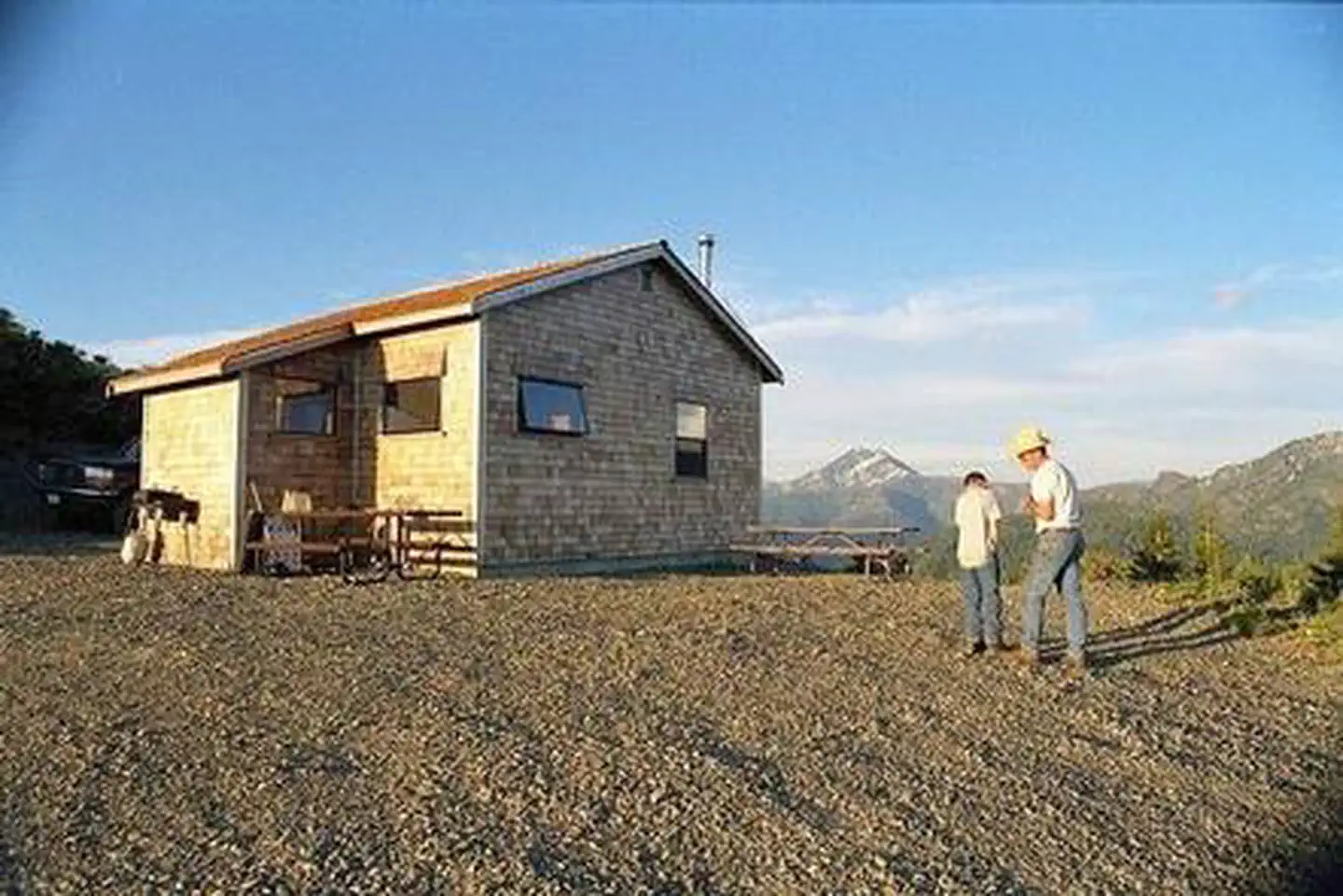 Bear Basin Lookout and CabinCampground · 1 sites
Overview On a high, narrow mountain ridge at 5,280 feet, Bear Basin Lookout and Pierson Cabin offer visitors an awe-inspiring experience and a quiet haven away…
- Bear CreekFacility · not watchable
Bear Creek below Big Bear Lake provides southern California anglers with fast action fishing for wild brown and rainbow trout in a picturesque setting.
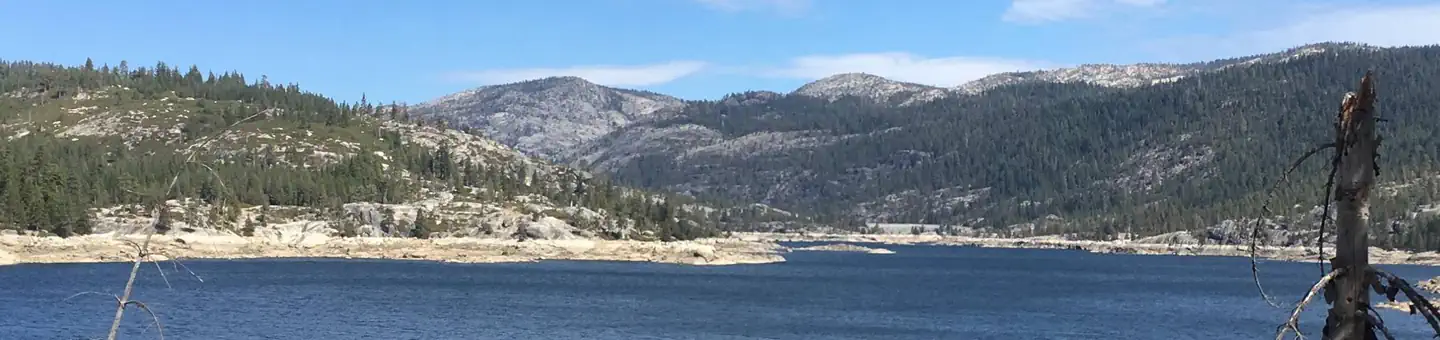 Bear River Group Campground (Eldorado National Forest, CA)Campground · 4 sites
Overview The Bear River Group Campground offers four separate group campsites on a site above the south side of the Lower Bear River Reservoir.
- Bear Valley TrailheadFacility · not watchable
Bear Valley Trailhead Pets Allowed Yes Fees Adventure Pass Required Hike/Ride Time Full day Difficulty Easy to Moderate Best Seasons Fall, Spring, Winter…
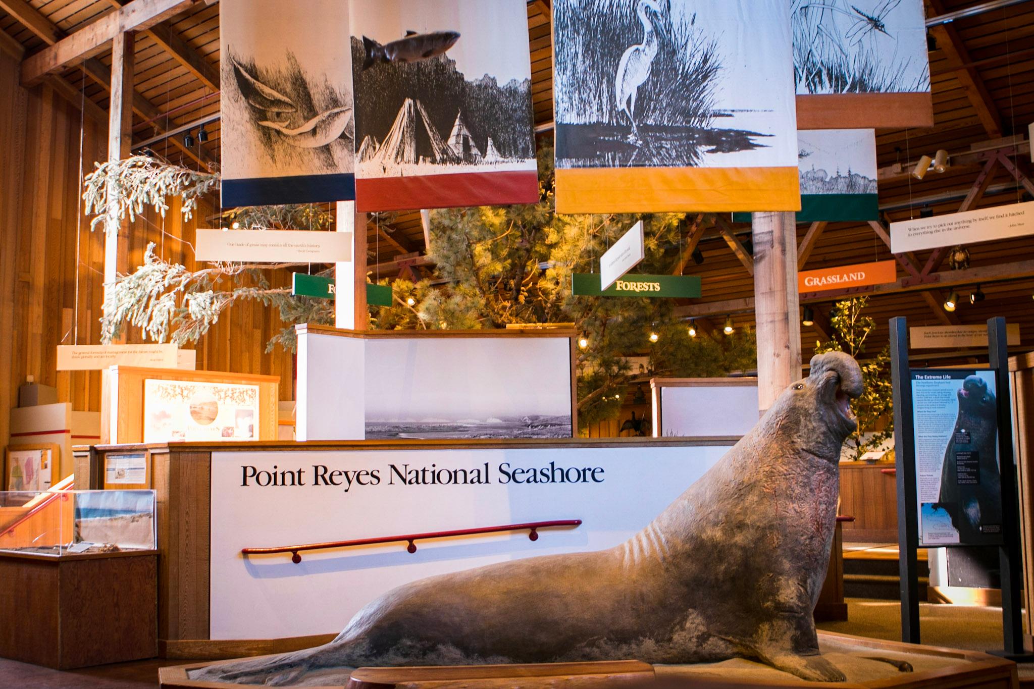 Bear Valley Visitor CenterFacility · not watchable
The park's primary visitor center provides an orientation of the park's roads, trails, and human and natural history.
- Beardsley Dam CampgroundCampground · not watchable
Beardsley Dam Campground is located near Beardsley Dam on Forest Road 5N02 at the south end of Beardsley Reservoir.
- Bee Canyon OHV Road 5S07Facility · not watchable
4.1 mile BEE Canyon OHV Road runs from just north of State Route 74 (east of Cranston Fire Station) to the junction with San Jacinto Ridge OHV Road 5S09 routes…
- Bee Canyon Recreational Shooting SitesFacility · not watchable
Bee Canyon is a natural area with good back stop for target shooting. Located off Highway 74 east of Hemet on Forest Road 5S07, about 2 miles in from…
 BelknapCampground · 15 sites
Overview Belknap Campground, elevation 4,800 feet, is located east of Porterville, CA off state highway 190 in the Giant Sequoia National Monument in the…
- Belknap GroveFacility · not watchable
Handout: Belknap Complex (PDF - 224k) Belknap Campground (PDF - 451k) Belknap is a complex formed from the large sprawling McIntyre Grove, Wheel…
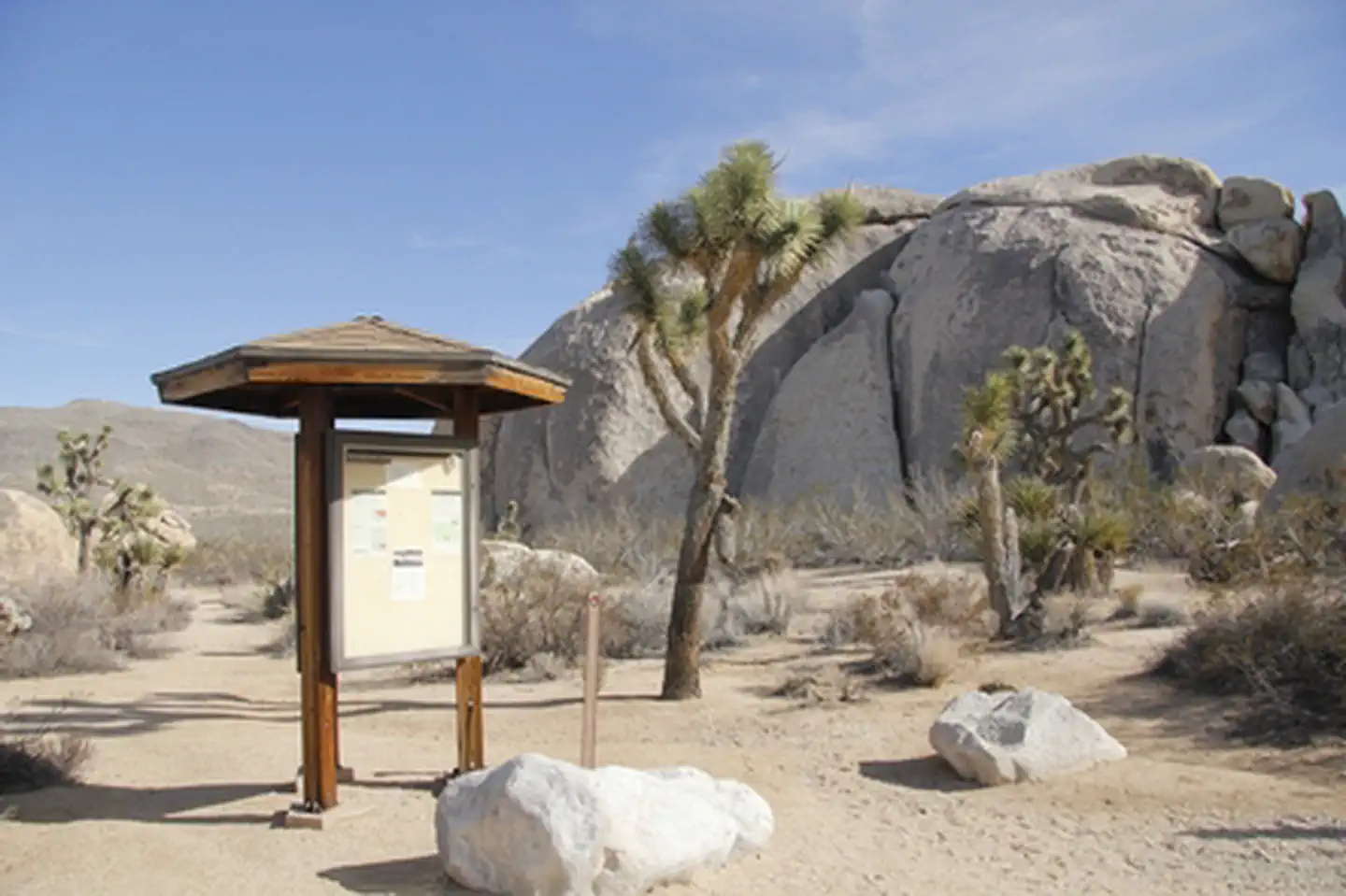 Belle CampgroundFacility · not watchable
This small campground has 18 sites. There are pit toilets, picnic tables, and fire pits. There is no water so bring plenty of your own.
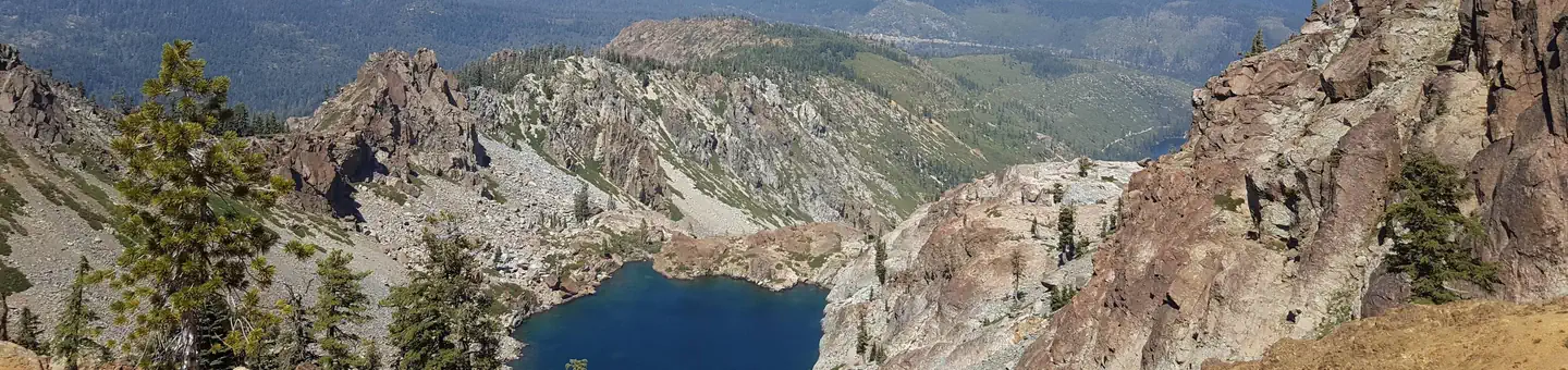 BergerCampground · 9 sites
Overview Berger Campground is located in the Packer Lake area near Packer Creek and the Sierra Buttes, north of the Yuba River.
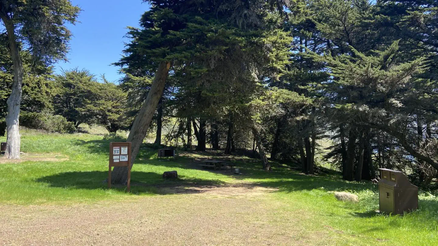 Bicentennial CampgroundCampground · 3 sites
Overview Bicentennial Campground is in an ideal location in the Marin Headlands surrounded by a grove of cypress trees.
- Big Bar AreaFacility · not watchable
Whether on foot or bike, Trinity River Management Unit (TRMU) carries you into a world of Pacific madrone, ponderosa pine, Douglas fir and white oak, which…
- Big Bar River AccessFacility · not watchable
Located approx. 8 miles downstream from Orleans, Big Bar offers a gravel dirt road to an excellent boat launch for drift and jet boats.
- Big Bear LakeFacility · not watchable
One of the best places to view wildlife in Big Bear is at the Stanfield Cut-off, the causeway that crosses the eastern portion of Big Bear Lake.
- Big Bear Snow PlayFacility · not watchable
Offers snow play on private land in the Big Bear valley. Big Bear Snow Play is located at 42825 Big Bear Boulevard in Big Bear Lake.
- Big Bear Valley Sportsman's Club - Shooting RangeFacility · not watchable
Shooting Range - Open To The Public - Rifle, Pistol, and Trap. Saturdays and Sundays only 10:00 am to 4:00 pm.
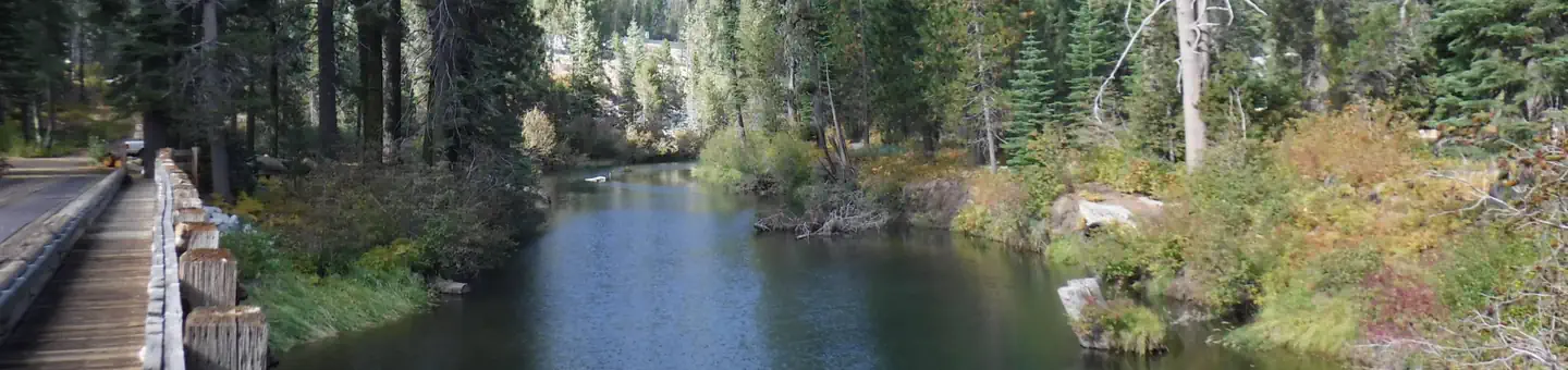 Big Bend Group (Yuba River)Campground · 2 sites
Overview Big Bend Group Campground is located 19 miles west of Truckee, California in the Tahoe National Forest at an elevation of 5,700 feet.
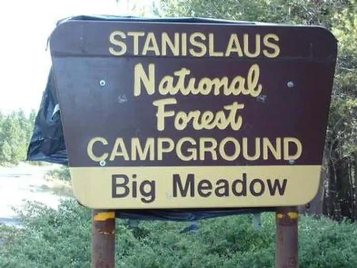 Big Meadow (Stanislaus National Forest)Campground · 133 sites
Overview Big Meadow Campground lies at about 6,400 feet elevation on the Stanislaus National Forest. It is located 21 miles east of Arnold, California.
- Big Meadow TrailheadFacility · not watchable
The Big Meadows trailhead provides numerous opportunities to explore the beautiful Jennie Lakes Wilderness.
- Big Meadow Winter TrailheadFacility · not watchable
During the winter months, this location provides for many types of recreation. One can park here and begin a day of cross country skiing, snow shoeing, or…
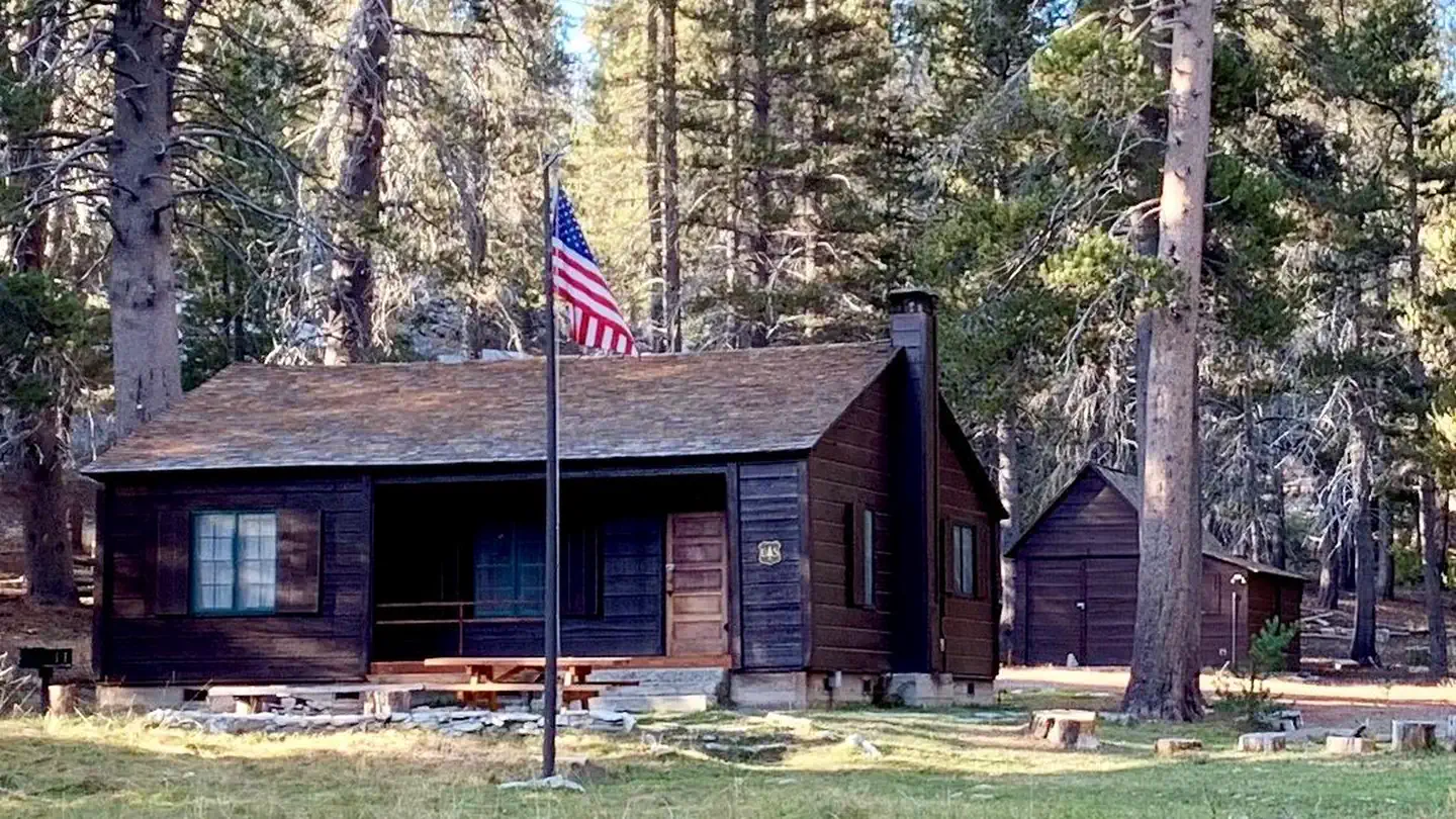 Big Meadows Cabin (CA)Campground · 1 sites
Overview Big Meadows Guard Station is located 75 miles east of Fresno, California, in the Sequoia National Forest and Giant Sequoia National Monument.
- Big Meadows CampgroundCampground · not watchable
Location: 22 miles east of Georgetown on Wentworth Springs Road and 27 miles northeast on Forest Highway 2.
 Big Pine CanyonCampground · 2 sites
Overview Big Pine Canyon Recreation Area includes two group campground sites. Named for glaciers that can be seen at the end of the valley, Clyde Glacier Group…
 Big Pine Creek CampgroundCampground · 30 sites
Overview Big Pine Creek Campground, surrounded by sprawling meadows and towering trees, is perfectly situated in the scenic Big Pine Canyon.
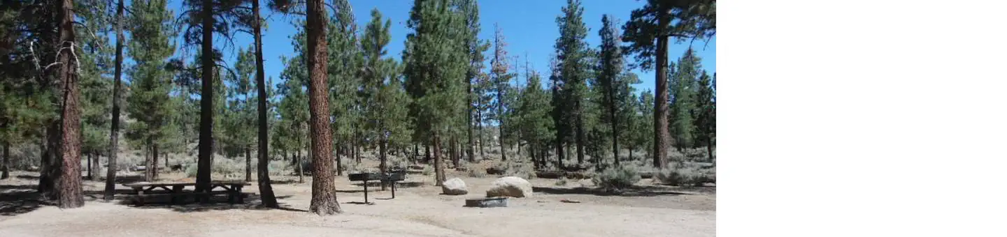 Big Pine Equestrian Group CampgroundCampground · 1 sites
Overview Big Pine Equestrian Group Campground is a beautiful place to take the horses on a camping outing.
- Big Pine Flat Recreational Shooting Site # 1Facility · not watchable
The largest of three designated shooting sites in the Big Pine Flat area, this location is ideal for target shooting with rifles or long range target practice.
- Big Pine Flat Recreational Shooting Site # 2Facility · not watchable
In the San Bernardino National Forest visitors can only target shoot in designated and signed areas and only at certain times, due to fire danger rating.
- Big Pine Flat Recreational Shooting Site # 3Facility · not watchable
In the San Bernardino National Forest visitors can only target shoot in designated and signed areas and only at certain times, due to fire danger rating.
- Big Pines Visitor Center Interpretive SiteFacility · not watchable
Visitor Center - Heavy use during snow play. There are 3 picnic tables and several benches close to the restroom at the site. For additional information,…
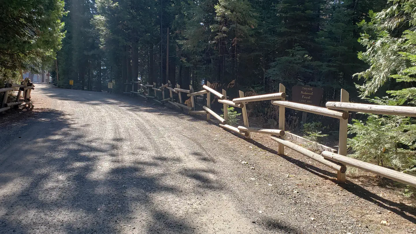 Big Reservoir CampgroundCampground · 18 sites
Overview Big Reservoir Campground is adjacent to a privately operated lake and associated Morning Star Campground consisting of an additional 100 campsites.
- Big Rock Day Use Area & River AccessFacility · not watchable
Located approximately 1/4 mile on Highway 96 from the Highway 299 intersection in the town of Willow Creek, Big Rock offers day use for those who want to spend…
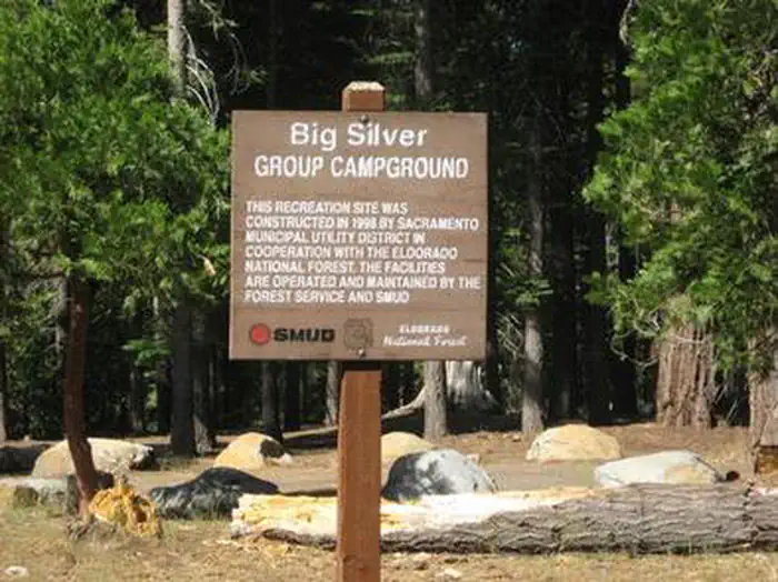 Big Silver GroupCampground · 1 sites
Overview Big Silver Group Campground offers tent and RV camping for up to 50 guests.
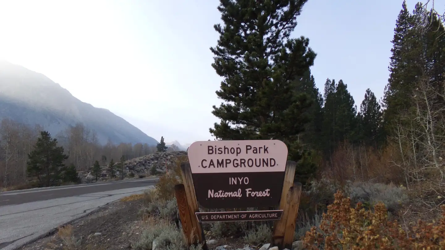 Bishop Park Campground (CA)Campground · 21 sites
Overview Bishop Park is one of the most popular campgrounds in the Bishop Creek Area Located on the banks of the Middle Fork of Bishop Creek, Bishop Park has…
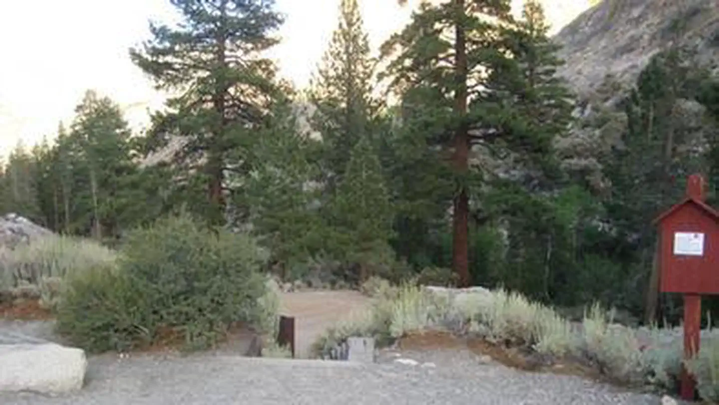 Bishop Park GroupCampground · 1 sites
Overview Families, friends and special interest groups enjoy Bishop Park for its access to prime fishing and its serene setting on Bishop Creek.
- Black Butte TrailheadFacility · not watchable
Provides access to: Black Butte Trail #1272, Black Butte Tie Trail #1273 which access the northern section of Siskiyou Wilderness.
 Black Canyon Group and Equestrian CampgroundCampground · 2 sites
Overview Mojave preserves a diverse mosaic of ecological habitats and a 10,000 year history of human connection with the desert.
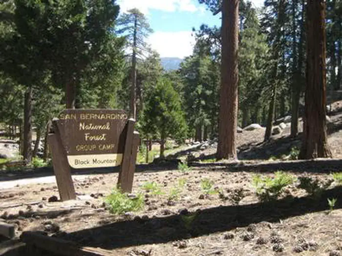 Black Mountain (San Bernardino)Campground · 1 sites
Overview Black Mountain Road is is poor condition at this time. 4 Wheel Drive is recommended.
- Black Mountain Fire LookoutFacility · not watchable
Black Mountain Fire Lookout (elev. 7,772 ft.) is located in the San Jacinto Mountains.
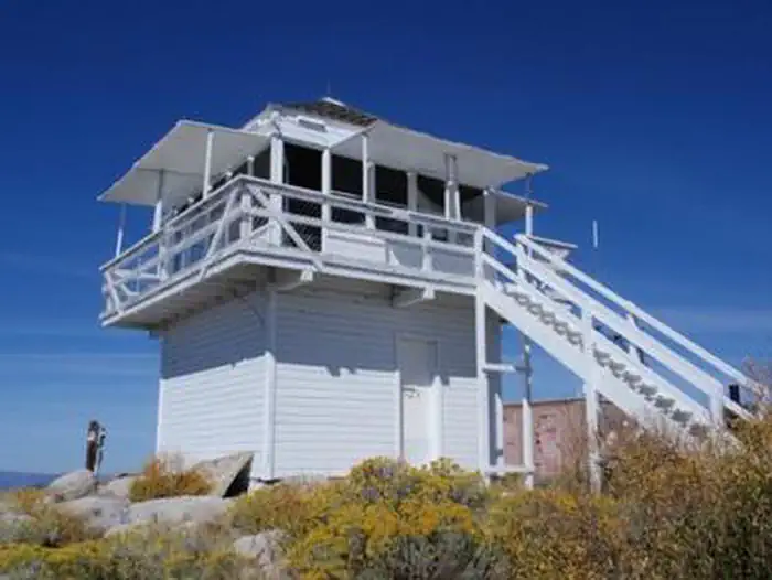 Black Mountain LookoutCampground · 1 sites
Overview Black Mountain Lookout is located on the eastern edge of the Beckwourth Ranger District, 10 miles from Highway 395, near Milford, California.
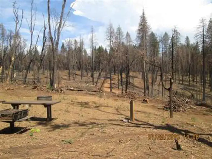 Black OakCampground · 4 sites
Overview Black Oak Campground is group camping destination near Stumpy Meadows Lake on the Eldorado National Forest.
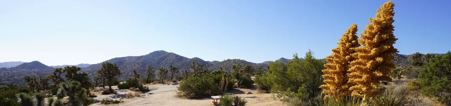 Black Rock CampgroundCampground · 94 sites
Overview Download the NPS app prior to visiting the park – trail maps and more! Black Rock Campground lies among one of the thickest Joshua tree forests in…
- Black Rock CampgroundCampground · not watchable
Black Rock Campground is a dispersed campground situated in the Oak Woodlands along Mill Creek. 6 sites are available for primitive dispersed camping.
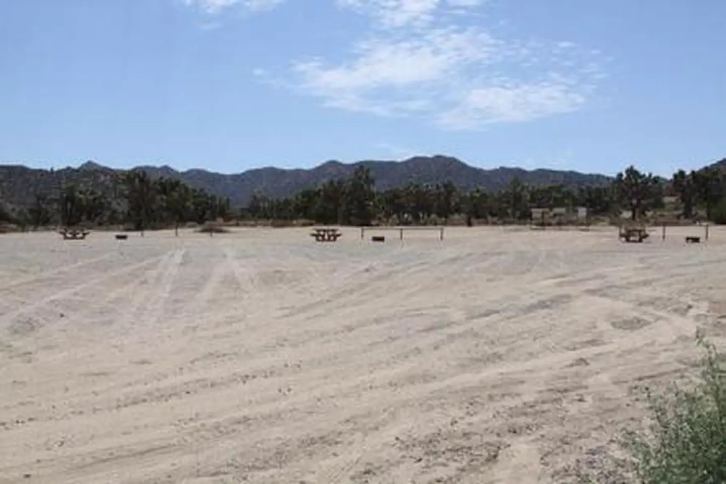 Black Rock Equestrian CampgroundCampground · 21 sites
Overview Download the NPS app prior to visiting the park – trail maps and more! Black Rock Horse Campground is strictly for campers planning to bring horses or…
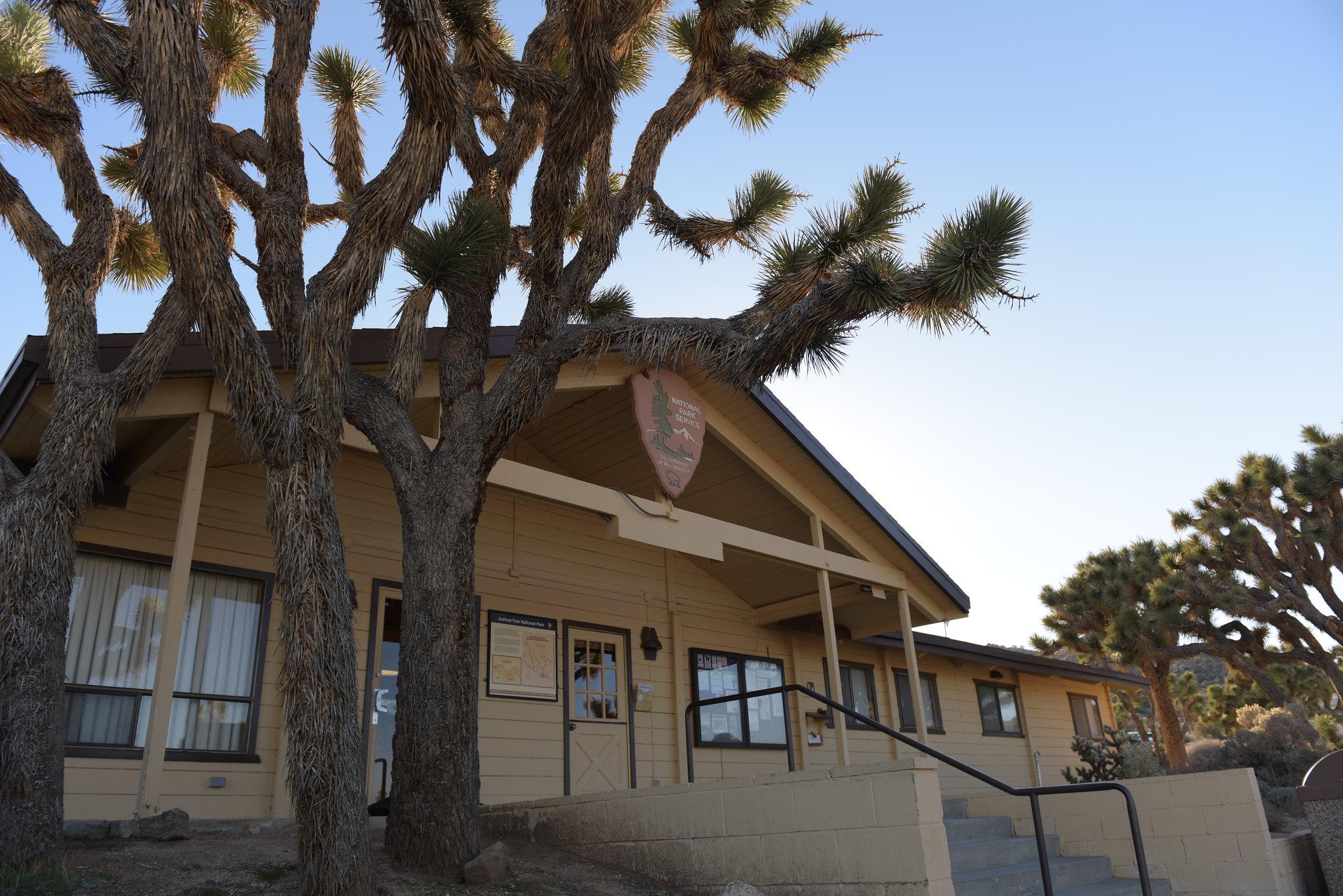 Black Rock Nature CenterFacility · not watchable
Located in the heart of the beautiful Black Rock Campground, the Nature Center offers a bookstore, art gallery, visitor resources, and a picnic area.
- Black Springs OHV AreaFacility · not watchable
The Black Springs OHV network on the north side of Highway 4 is the main Off-Highway Vehicle riding area on the Calaveras Ranger District.
- Blackrock TrailheadFacility · not watchable
The Blackrock Trailhead is a beautiful and easily accessable gateway into the Golden Trout Wilderness.
- Blackrock Visitor CenterFacility · not watchable
Take Sherman Pass Rd. (22S05) to 21S03. The Blackrock Visitor Center offers wood permits, fire permits, 3FIA sales, interpretive materials, and much more. …
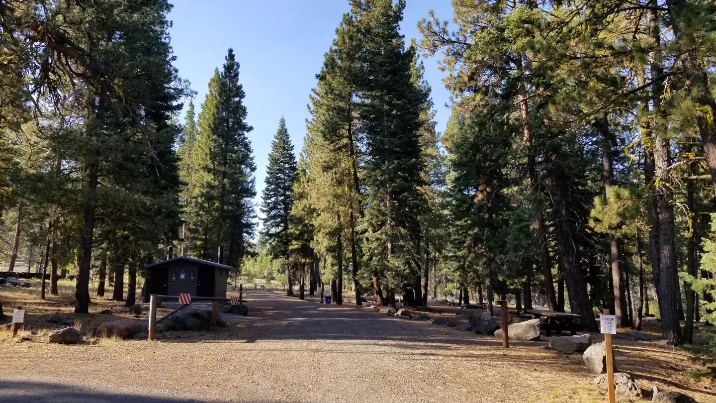 Blue Lake Campground Group Site - Modoc NF (CA)Campground · 1 sites
Overview The Blue Lake Campground is situated in the beautiful South Warner Mountains of the Modoc National Forest in a tranquil and remote area of…
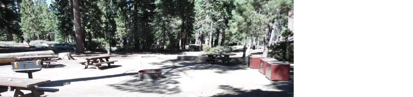 Bluff Mesa Group CampCampground · 1 sites
Overview Bluff Mesa Group Campground is conveniently located for campers to enjoy all the beautiful Big Bear Lake area has to offer.
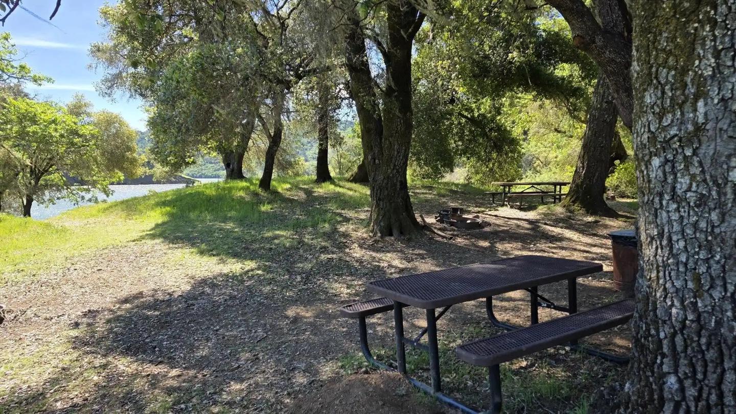 Boat-In Sites (Lake Sonoma)Campground · 108 sites
Overview Lake Sonoma's Boat-In Sites are scattered around beautiful Lake Sonoma, only a 45-minute drive north of Santa Rosa and a two-hour drive from San…
- Bobcat Meadow CampgroundCampground · not watchable
Bobcat Meadow Campground Trails 1.2 miles with trail connection options Campfires Campfires are not allowed when elevated fire restrictions are in effect.
 Boca CampgroundCampground · 23 sites
Overview Boca Campground is located on a plateau above the shores of beautiful Boca Reservoir, 15 minutes northeast of Truckee, California. Visitors enjoy the…
- Boca Reservoir - Water RecreationFacility · not watchable
Boca reservoir is a popular spot for water recreation of all kinds. Heavy motorized boat and personal watercraft use, and water skiing on summer weekends.
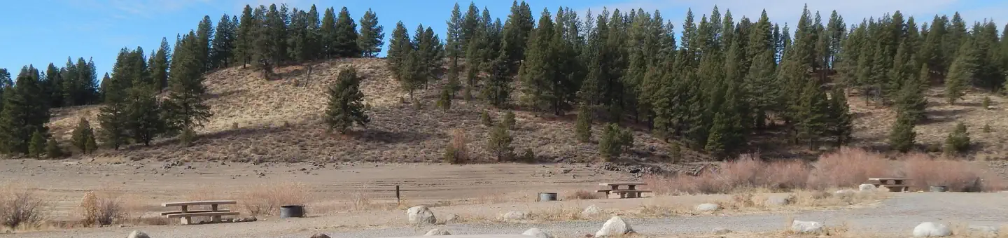 Boca Rest CampgroundCampground · 39 sites
Overview Boca Rest Campground is located along the shores of Boca Reservoir, 20 minutes from Truckee, California. Visitors enjoy the area for its boating,…
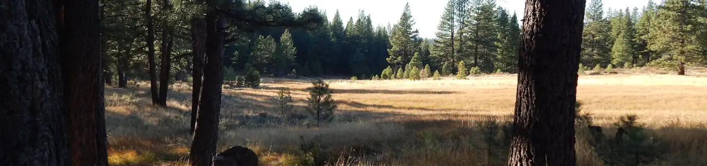 Boca SpringCampground · 17 sites
Overview Boca Spring Campground is located approximately one-mile east of Boca Reservoir, 20 minutes from Truckee, California.
- Bogard CampgroundCampground · not watchable
Quiet and tucked away from the beaten path. Pine creek adjacent to campground, beautiful aspens in and around campground. Located 1.75 miles off Highway 44.
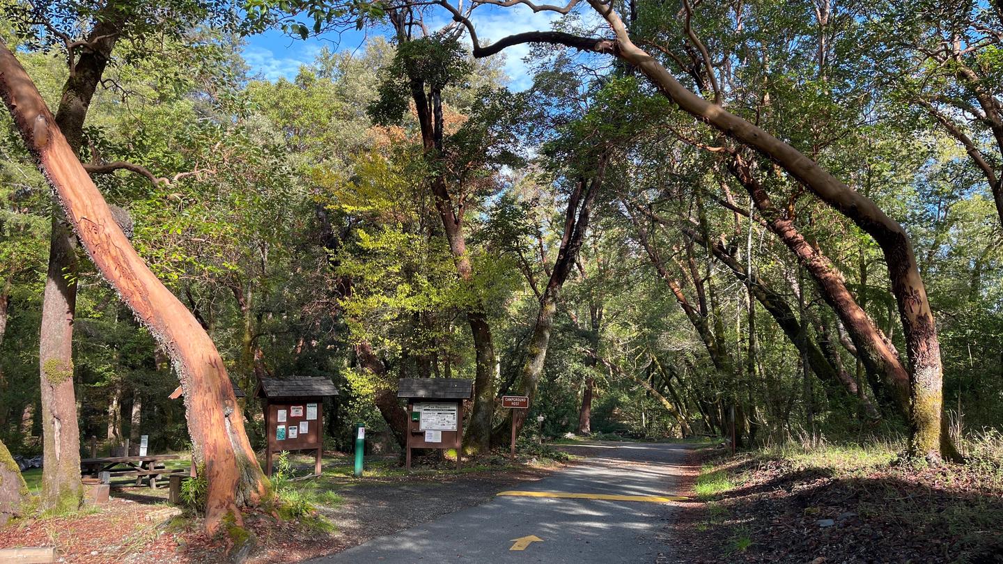 Boise CreekCampground · 18 sites
Overview Boise Creek Campground is nestled between Brush Mountain and Brannan Mountain in northern California's vast Six Rivers National Forest.
- Boole TreeFacility · not watchable
The Boole Tree (GPS NAD 83: 36.823889, -118.949167) is regarded as the 6th largest giant sequoia tree in the world. The tree was named around 1895 by A.H.
- Boole Tree TrailheadFacility · not watchable
The Boole Tree trailhead is approximately 4.2 miles north of Grant Grove Village (east) on Highway 180 to FS Road 13S55. The trail begins at the parking area…
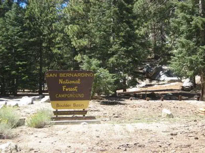 Boulder BasinCampground · 16 sites
Overview Black Mountain Road is is poor condition at this time. A four-wheel drive (4WD) vehicle is recommended with a minimum ground clearance of 6 inches.
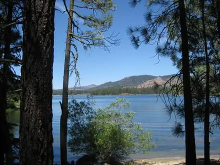 Boulder Creek (Ca)Campground · 42 sites
Overview Boulder Creek Campground is located in the northern Sierra Nevada Mountains, where ancient glaciers gave way to numerous mountain lakes and vast…
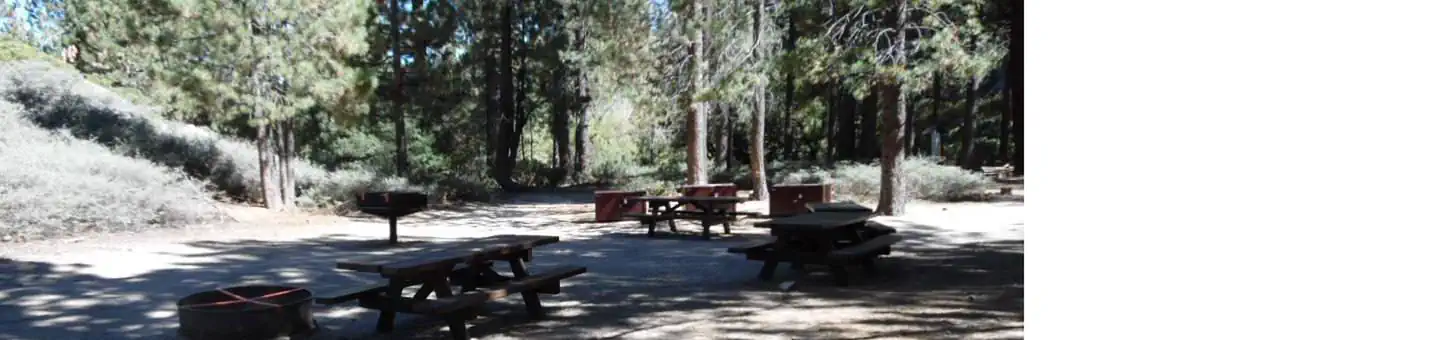 Boulder Group CampCampground · 1 sites
Overview Boulder Group Campground is a great place to bring an extended family or large group for a relaxing camping excursion.
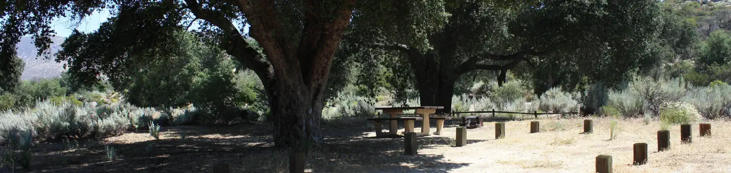 Boulder Oaks EqstCampground · 13 sites
Overview Boulder Oaks offers equestrian and family sites in the scenic Cleveland National Forest, about an hour away from San Diego, California.
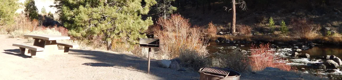 Boyington MillCampground · 12 sites
Overview Boyington Mill Campground is located along the Little Truckee River, just 20 minutes from Truckee.
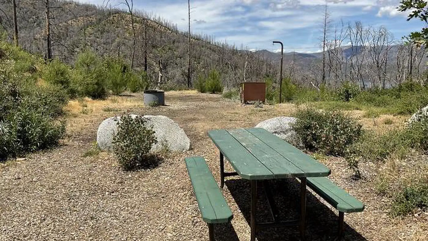 Brandy Creek Primitive CampgroundCampground · 2 sites
Overview This campground is located in Whiskeytown National Recreation Area,19 miles west of Redding, California, and three and a half hours north of…
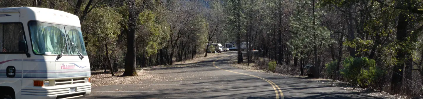 Brandy Creek RV CampgroundCampground · 15 sites
Overview This RV-only campground is located at the popular Brandy Creek Marina of Whiskeytown National Recreation Area, 13.5 miles west of Redding, California,…
- BreckenridgeFacility · not watchable
Breckenridge is the name of the area west of the Piutes Mountains, south of 178 and the Greenhorn Mountains, and it continues west to 178 near Bakersfield, CA.
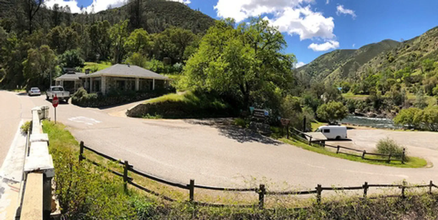 Briceburg Put-inFacility · not watchable
Remember your OUTDOOR ETHICS when enjoying your public lands. Please RECREATE RESPONSIBLY.
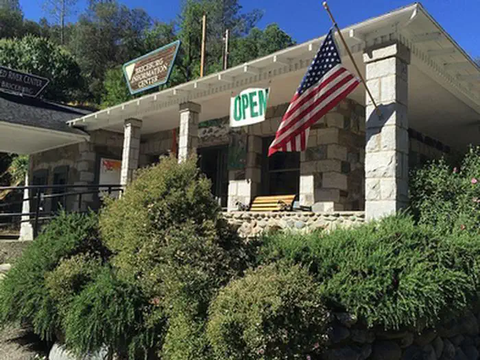 Briceburg Visitor CenterFacility · not watchable
Remember your OUTDOOR ETHICS when enjoying your public lands. Please RECREATE RESPONSIBLY.
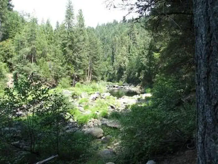 Bridal Veil Group Area and Picnic GroundCampground · 1 sites
Overview Bridal Veil Group Campsite and Picnic Area is located on the South Fork of the American River.
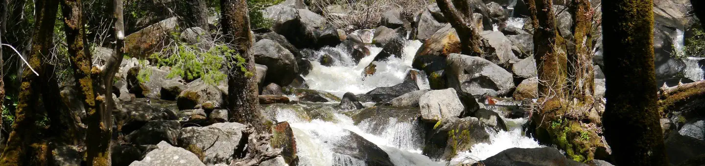 Bridalveil Creek CampgroundCampground · 106 sites
Overview Bridalveil Creek's horse site reservations have moved here: Bridalveil Creek Horse Campsites, Yosemite National Park - Recreation.gov Staying at…
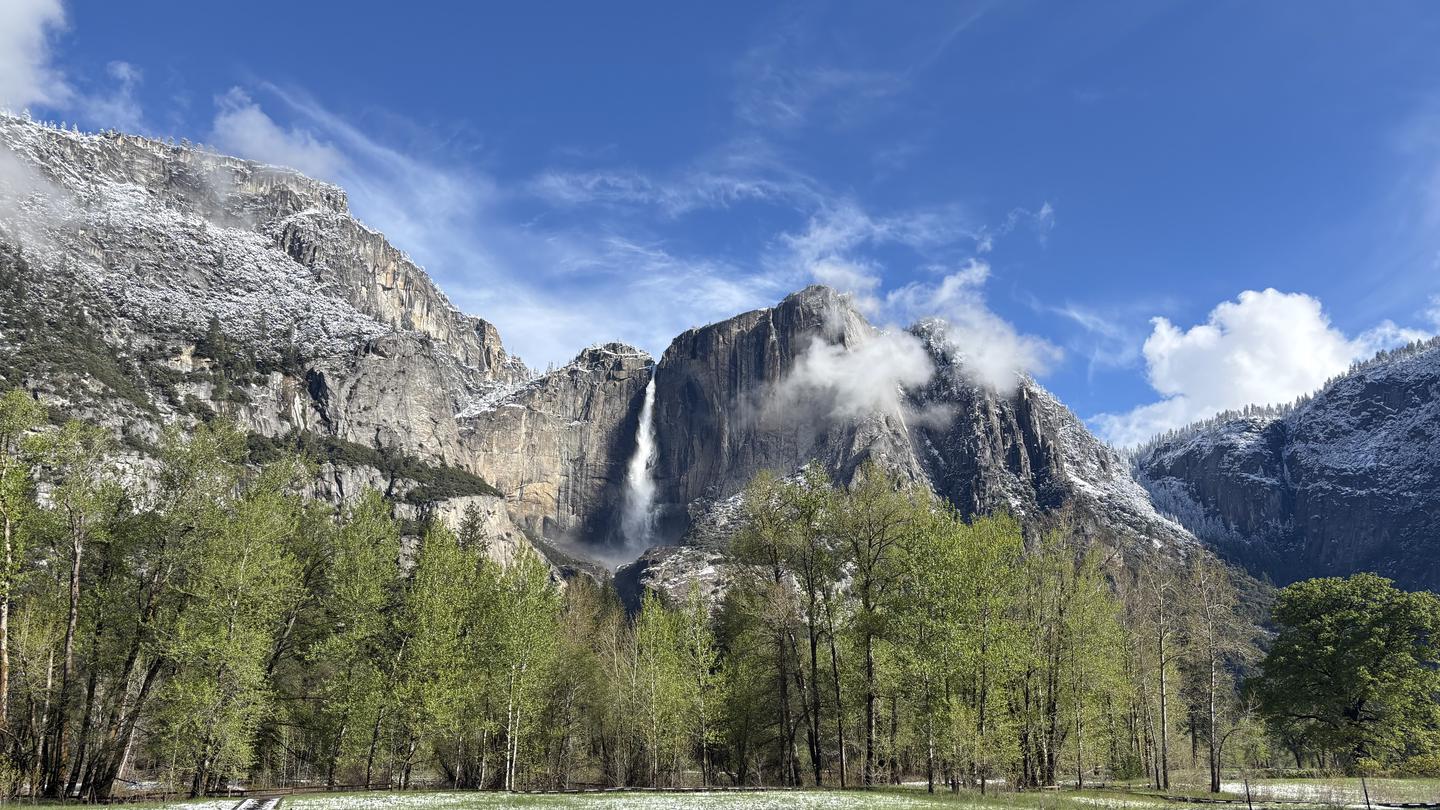 Bridalveil Creek Horse CampsitesCampground · 3 sites
Overview Staying at Bridalveil Creek Horse Campsites requires reservations and a horse.
- Brightman Flat CampgroundCampground · not watchable
Brightman Campground is situated in a mixed conifer forest along the banks of the Stanislaus River.
- Buck Creek - 18W01Facility · not watchable
Spectacular views of the surrounding environment are awarded the hardy outdoor enthusiast.
- Buck Creek Trailhead- 18W01Facility · not watchable
Buck Creek Trail (18W01) Difficulty: moderate to difficult Length: 11.25 miles SESPE WILDERNESS - More information on the Sespe Wilderness: www.wilderness.net…
 Buck RidgeCampground · 1 sites
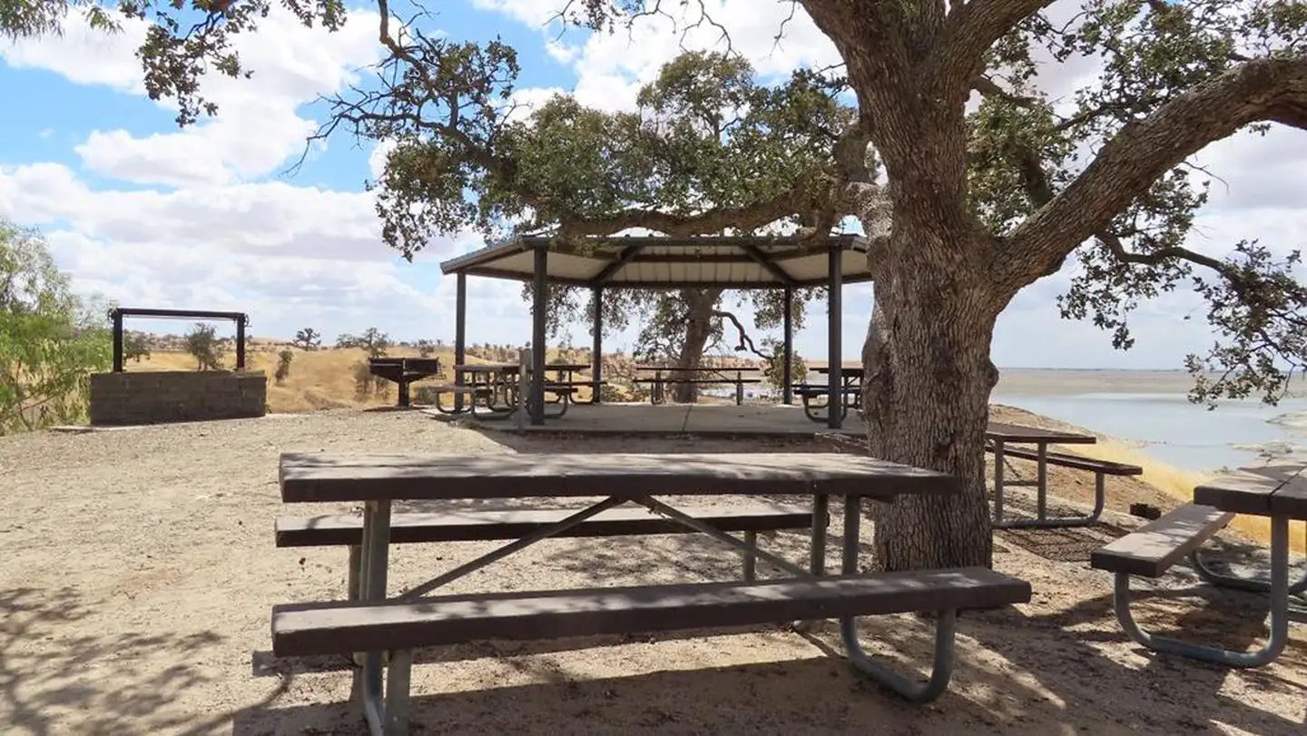
Overview Buck Ridge group day-use pavillion is located within the Buck Ridge Recreation Area at Hidden Dam, Hensley Lake.
- Buck Rock LookoutFacility · not watchable
Located in the Sequoia National Forest, Buck Rock Lookout sits perched atop a granite dome and offers a breathtaking view of the Great Western Divide and other…
 Buckeye Flat CampgroundCampground · 26 sites
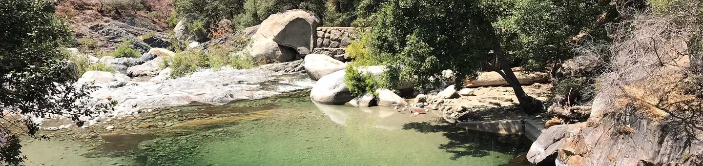
Overview Buckeye Flat Campground is located in Sequoia National Park, in the heart of the Sierra Foothills.
 BuckhornCampground · 93 sites
Overview Buckhorn Recreation Area is at Black Butte Lake, situated at the northern end of the Sacramento valley, 100 miles north of Sacramento, CA and 30…
 Burnt RancheriaCampground · 56 sites
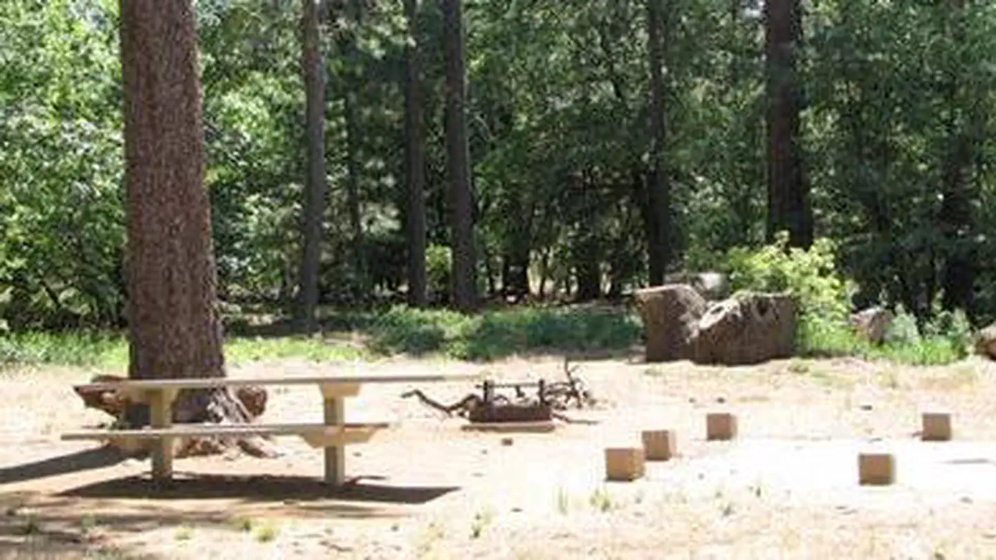
Overview Burnt Rancheria Campground is located 50 miles east of San Diego at the Laguna Mountain Recreation Area in Southern California, right off the Sunrise…
 Bushay Recreation AreaCampground · 44 sites
Overview Bushay Recreation Area is situated on Lake Mendocino in California's Mendocino Range, where redwood forests meet wine country.
 BushytailCampground · 12 sites
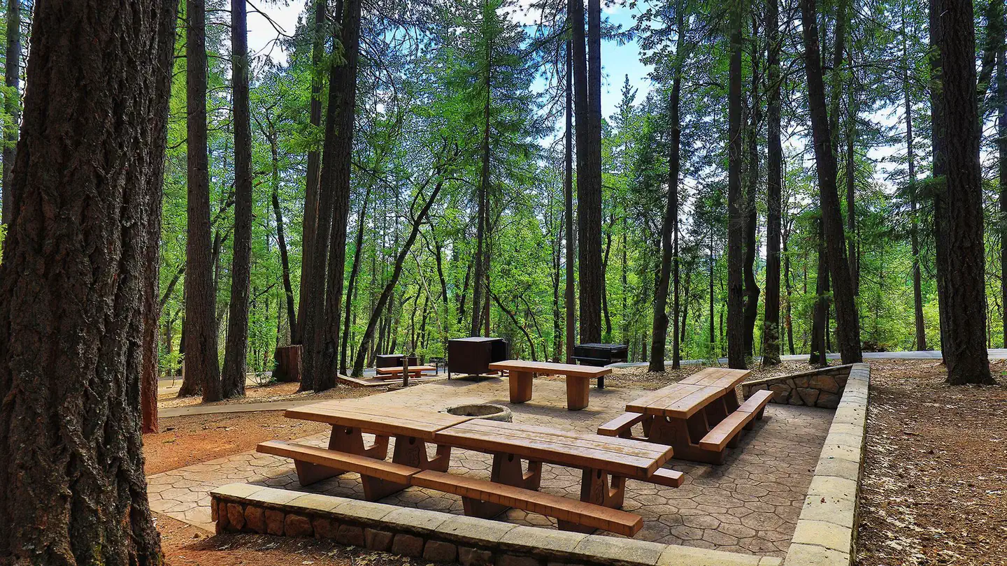
Overview Bushytail Campground is nestled in a grove of tall Douglas firs and Ponderosa Pines, just a short distance from Trinity Lake.
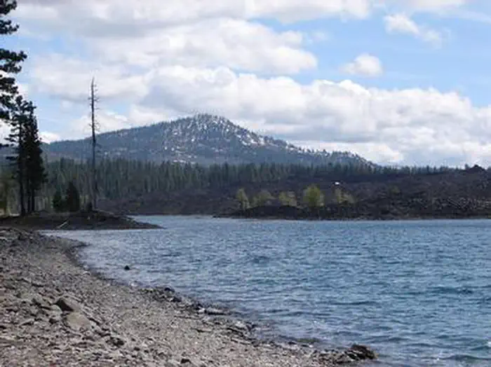 Butte LakeCampground · 79 sites
Overview Butte Lake Campground (elevation 6,100 feet) is located in the northeastern section of Lassen Volcanic National Park in northern California.
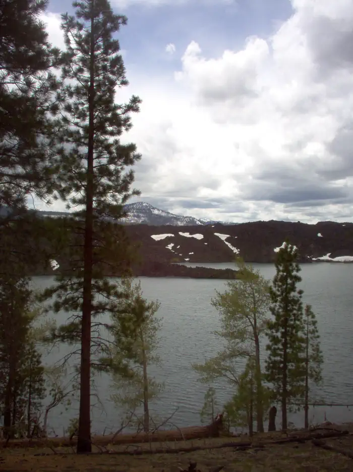 Butte Lake GroupCampground · 6 sites
Overview Butte Lake Group Campground (elevation 6,100 feet) is located in the northeastern section of Lassen Volcanic National Park in northern California.
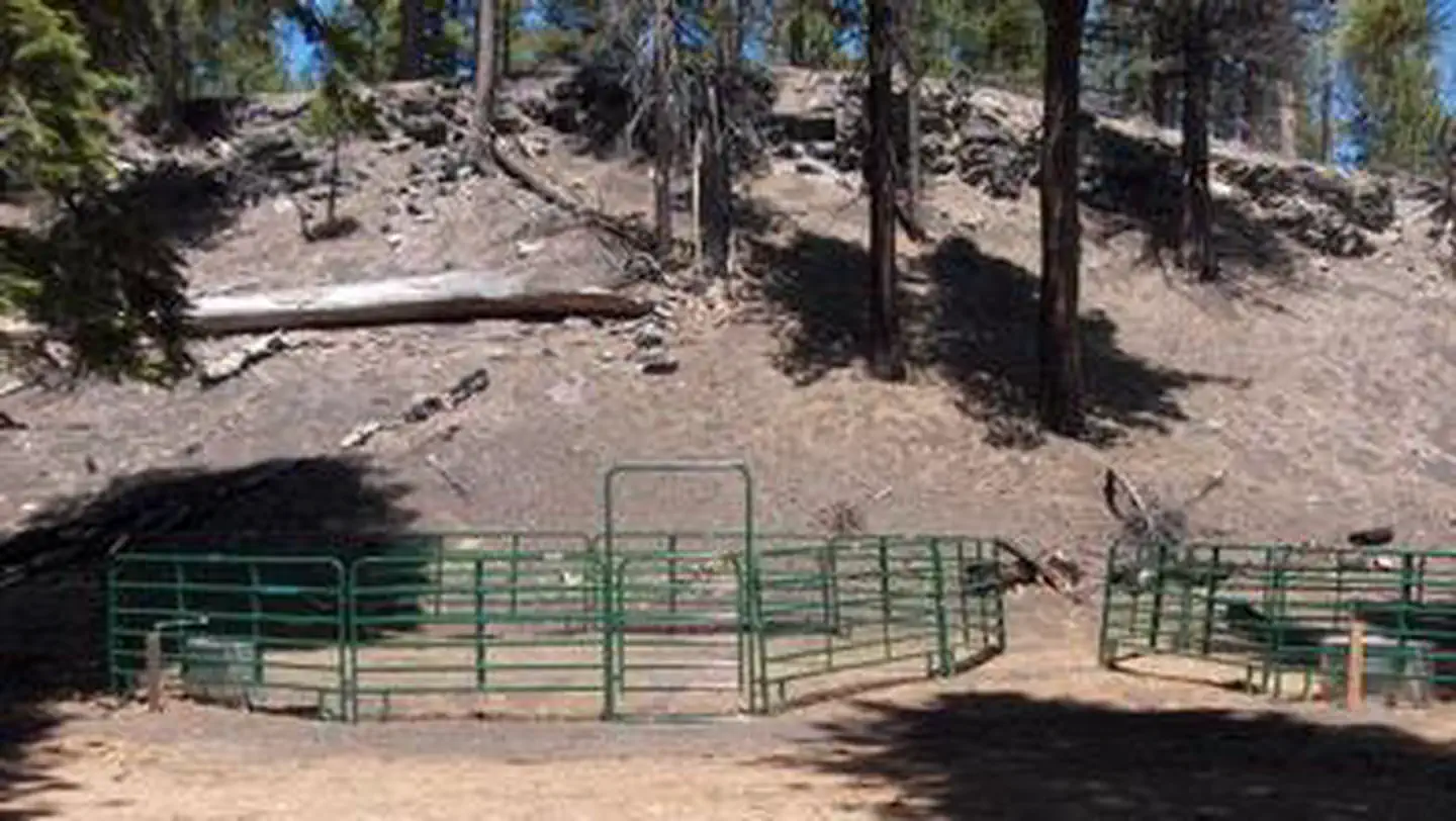 Butte Lake Stock CorralCampground · 1 sites
Overview Butte Lake Stock Corral (elevation 6,100 ft.) is located in the northeastern section of Lassen Volcanic National Park in northern California.
 Buttercup Group CampCampground · 1 sites
Overview Buttercup Group Camp is an outdoor oasis nestled in Southern California's pine-covered mountains.
- Buttercup Ranger StationFacility · not watchable
Buttercup Ranger Station is located off of Grey's Well Road near Interstate 8. This station offers visitors a location to purchase their dunes permit, gather…
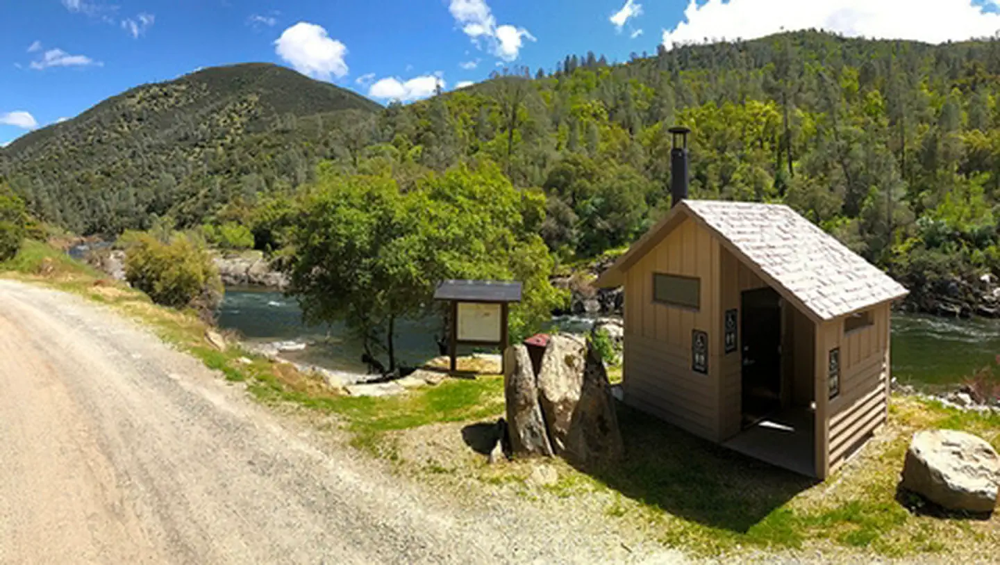 Cable Rock Day Use SiteFacility · not watchable
Remember your OUTDOOR ETHICS when enjoying your public lands. Please RECREATE RESPONSIBLY.
- Cactus Flat OHV Staging AreaFacility · not watchable
Cactus Flat OHV Staging Area is off of Highway 18, north of Big Bear and south of Lucerne Valley.
- Cahuilla Ranger StationFacility · not watchable
Cahuilla Ranger Station is located off of Gecko Road. This station offers visitors a location to purchase their dunes permit, gather information and seek…
- Cahuilla Tewanet Scenic OverlookFacility · not watchable
Located on State Highway 74 near Pinyon Flats and the San Jacinto & Santa Rosa Mountains National Monument. Cahuilla Tewanet, a nature trail/overlook which…
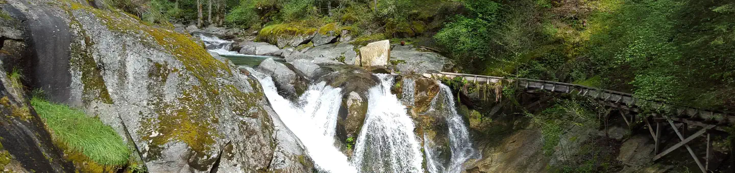 Cal-IdaCampground · 13 sites
Overview Cal-Ida Campground is located on Highway 49, across the road from the North Yuba River and 13 miles from Downieville.
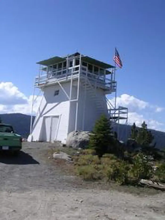 Calpine LookoutCampground · 1 sites
Overview Calpine is a forest fire lookout tower that was constructed in 1934 by the Civilian Conservation Corps, and is one of three remaining examples of the…
- Camino Cove CampgroundCampground · not watchable
Due to scheduled construction on North Union Valley Road, Camino Cove Campground will be closed for the 2019 camping season.
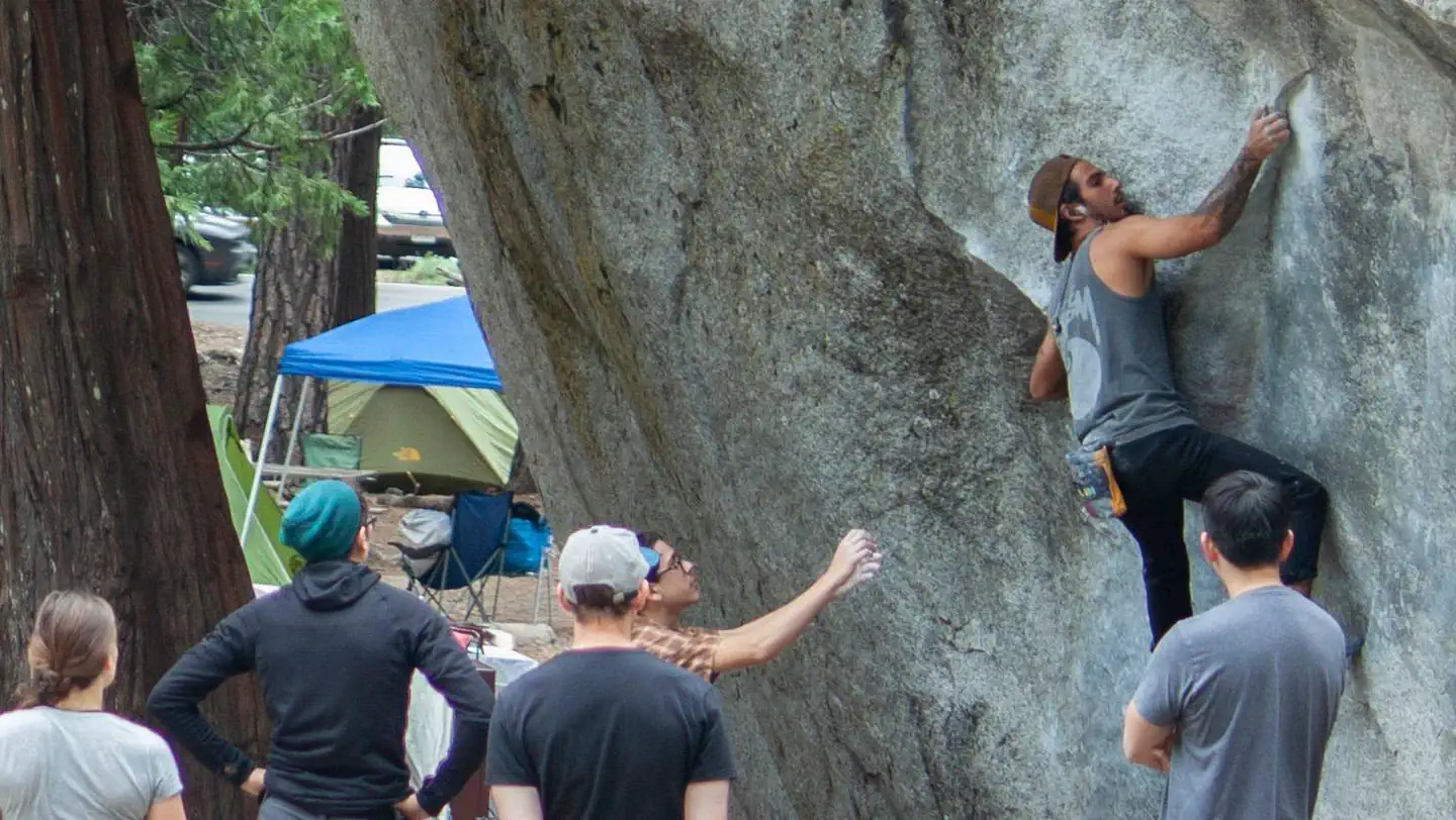 Camp 4Campground · 62 sites
Overview Camp 4 has returned to reservations. Arrival dates are released one week in advance at 7AM PDT.
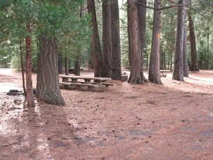 Camp 4 Group CampgroundCampground · 1 sites
Overview This group site is nestled in the Shasta-Trinity National Forest on the Upper McCloud River, popular for its three stunning waterfalls.
- Camp 4 Group Campsite and Day Use AreaCampground · not watchable
This is a group Campsite for parties ranging from 2-35. It is a developed campground with tables, fire pits, restroom with vault toilet and garbage pick…
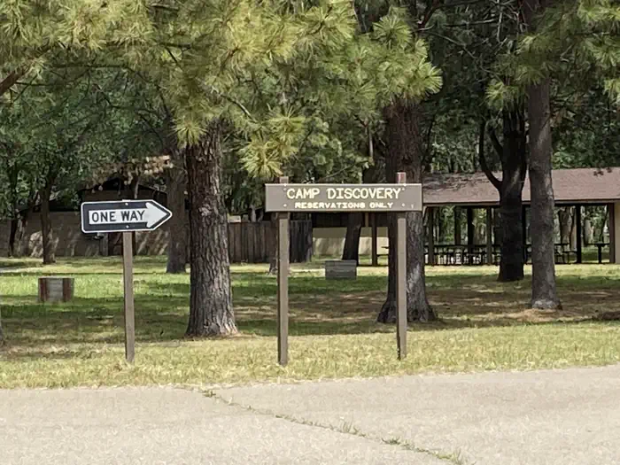 Camp Discovery Group Camp (Red Bluff Recreation Area)Campground · 1 sites
Overview Camp Discovery Group Campground is a reservation only campground located just outside the full service town of Red Bluff, California.
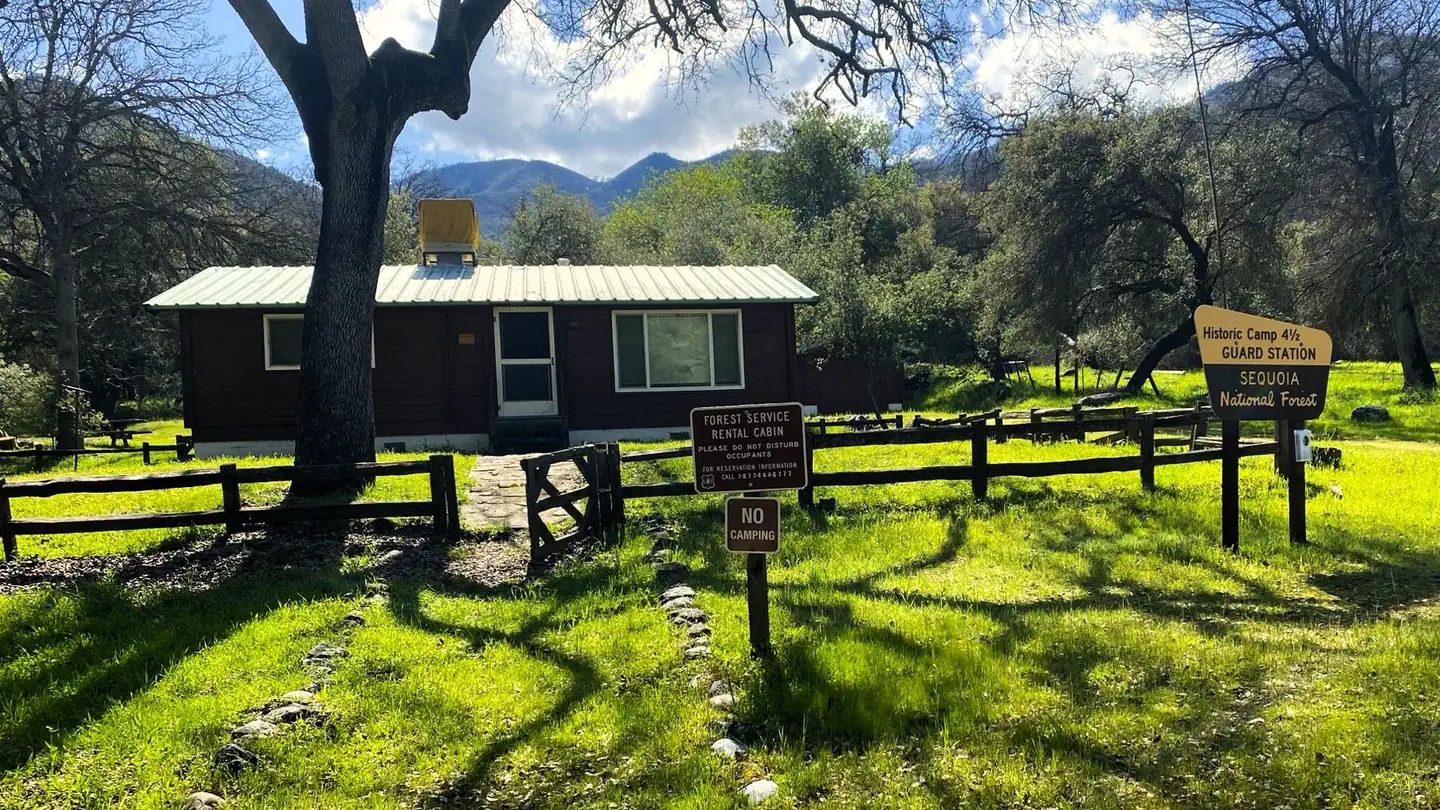 Camp Four and Half CabinCampground · 1 sites
Overview Camp Four and a Half Cabin is located along the Kings River above Pine Flat Reservoir at an elevation of 1,100 feet in Sequoia National Forest.
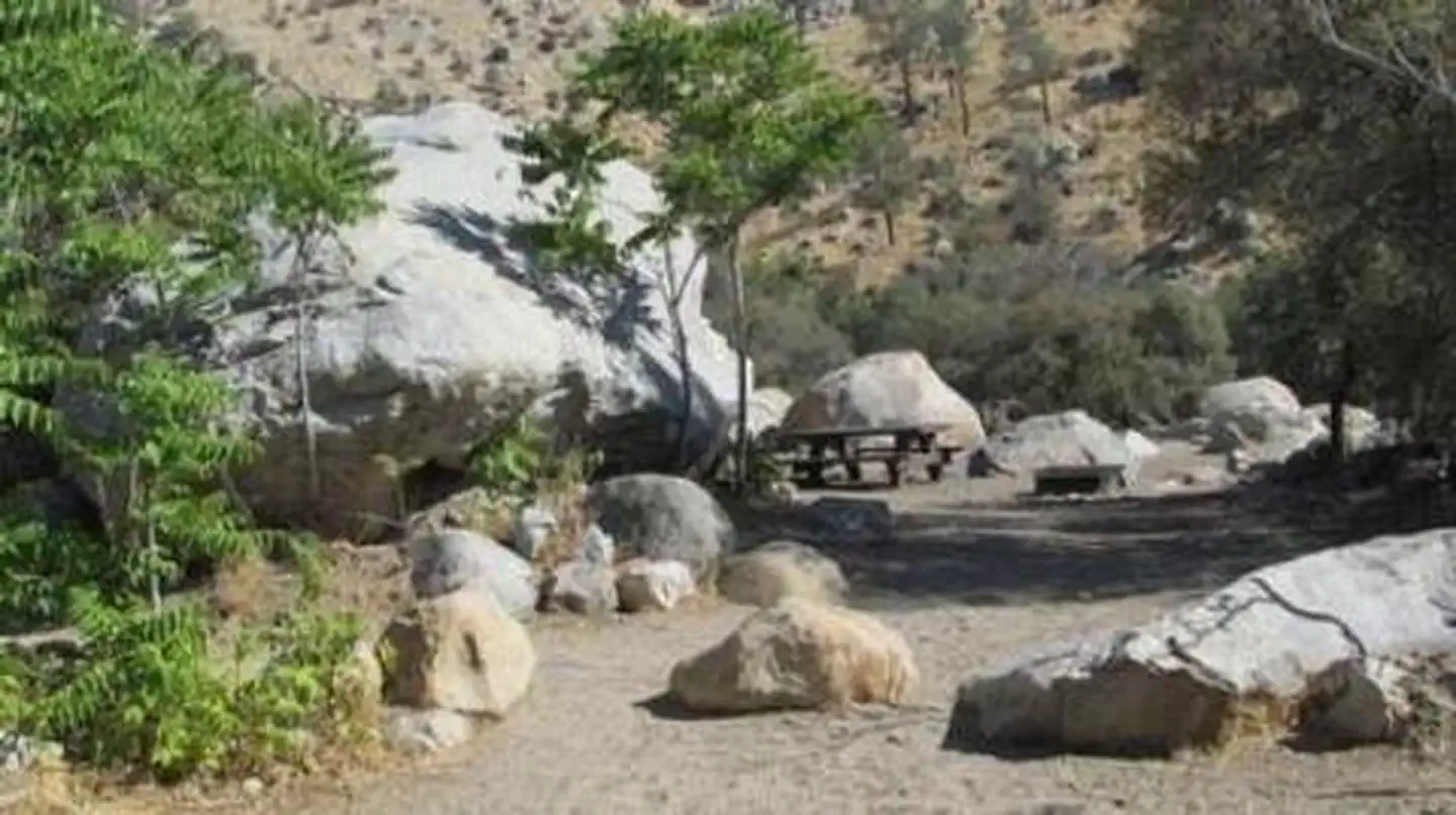 Camp Three CampgroundCampground · 52 sites
Overview Camp Three Campground is set amidst oak and locust trees at an elevation of 2,800 feet on the Upper Kern River, offering countless recreational…
- Campo Alto Group CampgroundFacility · not watchable
Tucked away high atop the Cerro Noroeste you’ll find solitude, serenity and unsurpassed scenery at Campo Alto Campground.
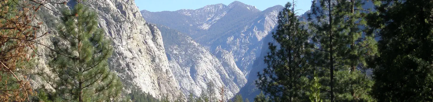 Canyon View Group SitesCampground · 16 sites
Overview Canyon View Group sites are located in Cedar Grove, Kings Canyon National Park, California.
- Caples Lake CampgroundCampground · not watchable
Recreation Opportunity Guides (ROG) - These guides contains information, maps, and directions to assist you in enjoying your trip to the Eldorado National…
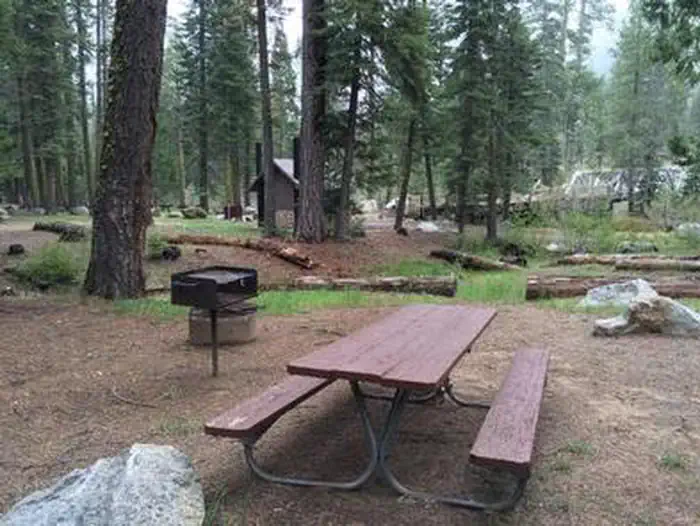 Capps CrossingCampground · 9 sites
Overview Capps Crossing is located on the North Fork of the Cosumnes River. The campground is located in a forested area and is well shaded during the day.
- Carbine Flat Spur A OHV Road 3N59AFacility · not watchable
This road travels 4.8 miles from the junction with Carbine Flat OHV Road 3N59 along the northern forest boundary terminating onto a BLM road. The road…
- Carlon Day Use AreaFacility · not watchable
Along Evergreen Road near State Highway 120. Picnic tables, vault toilets, grills.
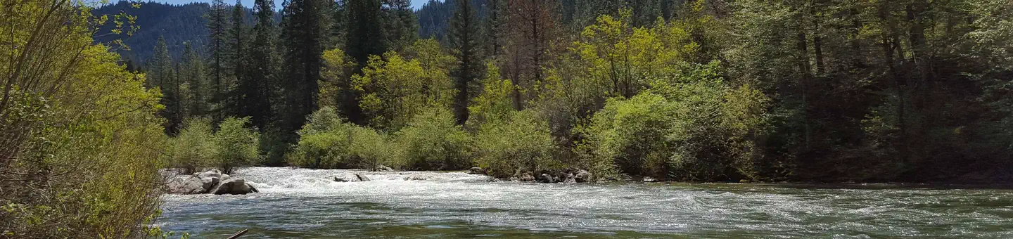 CarltonCampground · 17 sites
Overview Carlton Campground is located along the North Yuba River, adjacent to Highway 49 and 13 miles from Downieville.
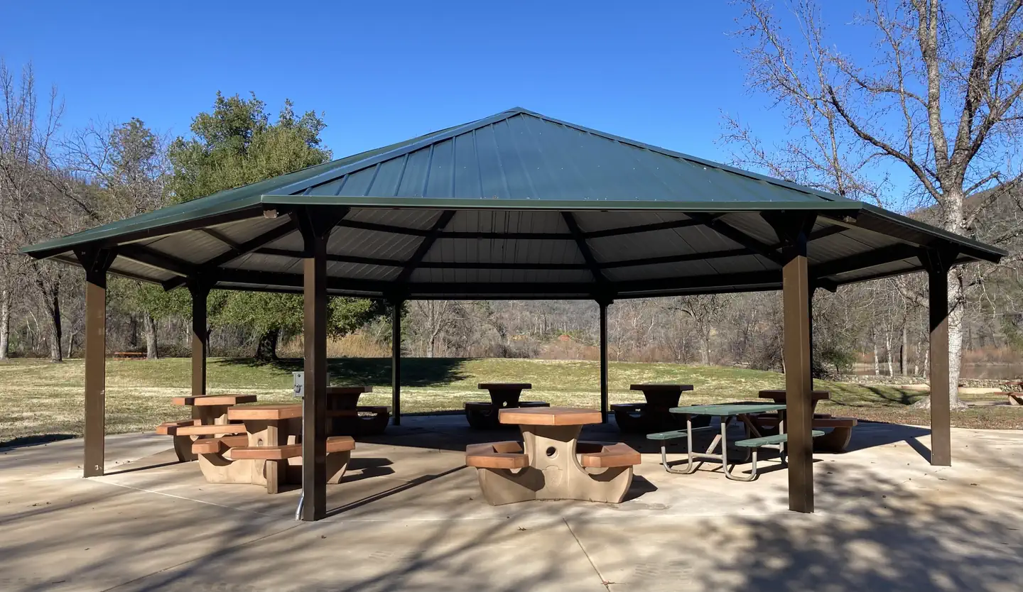 Carr Powerhouse Picnic ShelterCampground · 1 sites
Overview Carr Powerhouse Picnic Area is located on the northern shore of Whiskeytown Lake in Whiskeytown National Recreation Area, 15 miles west of Redding,…
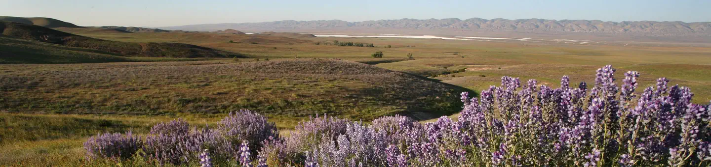 Carrizo Plain National Monument ToursTickets
Overview: Carrizo Plain National Monument is home to a number of curiously beautiful sights, both natural and man-made.
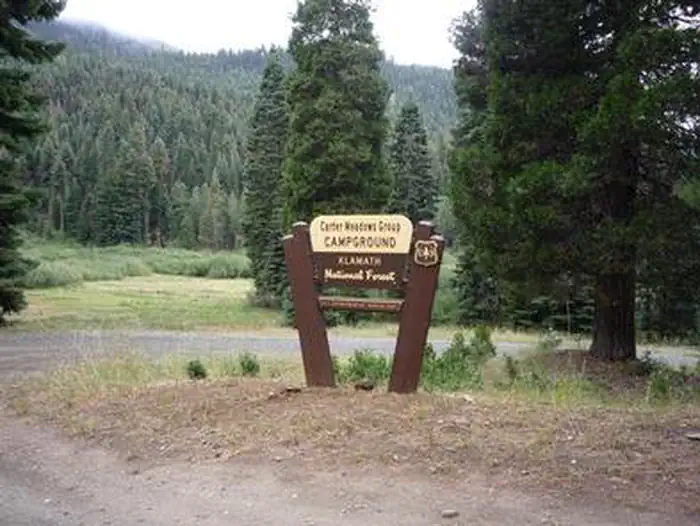 Carter Meadows Horse GroupCampground · 1 sites
Overview The Carter Meadows Horse Group Campground lies at the southern edge of the Klamath National Forest on the South Fork of the Salmon River.
- Cascade Creek CampgroundCampground · not watchable
Cascade Creek Campground situated in a mixed conifer forest and is located on Highway 108, about 11 miles from the Summit Ranger Station.
- Castle LakeFacility · not watchable
Special note about Castle Lake As of August 2013, there is a restriction on overnight camping within one half mile of the lake, except in the Castle Lake…
- Castle Lake CampgroundCampground · not watchable
Description: This small primitive campground is nestled in a thick mixed conifer forest approximately ¼ mile below Castle Lake.
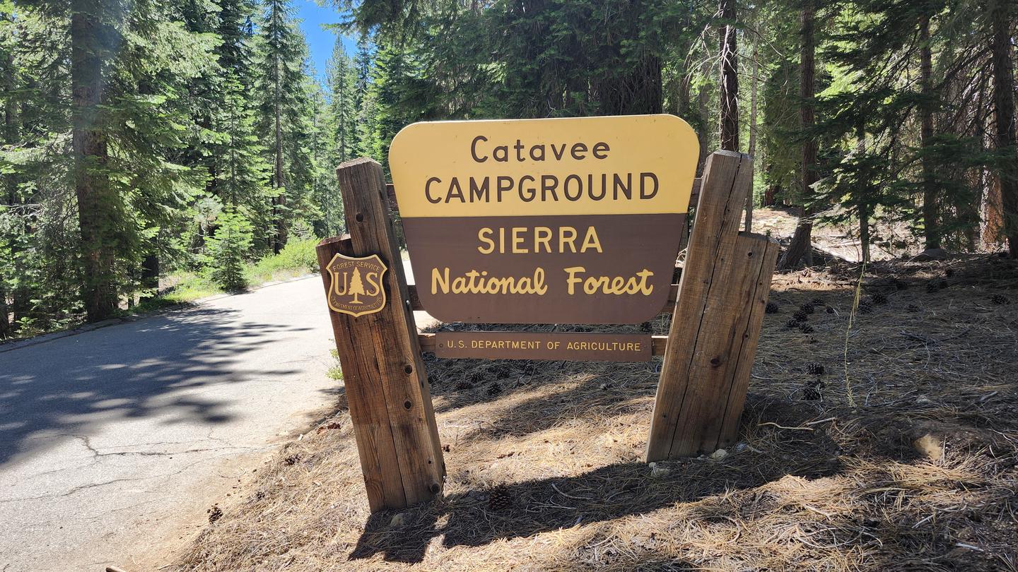 CataveeCampground · 24 sites
Overview Catavee Campground is located on Huntington Lake near the Kaiser Wilderness.
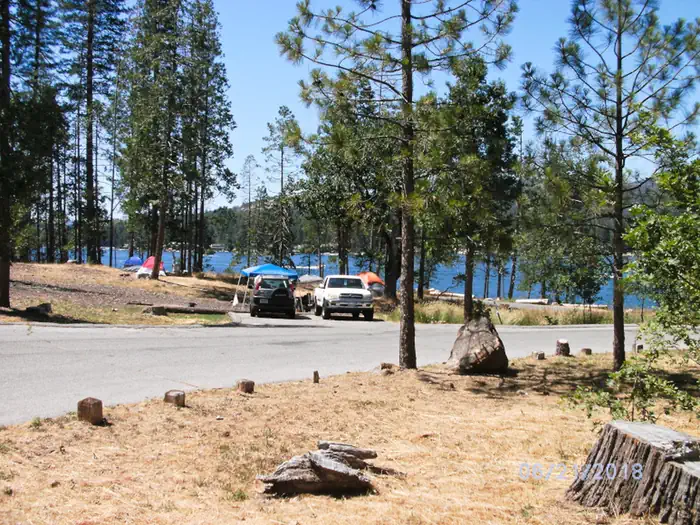 Cedar BluffCampground · 22 sites
Overview Cedar Bluff sits adjacent to Bass Lake in a huge Ponderosa pine forest. The camp features double, triple and quad units and is an ideal location for…
- Cedar Creek / Fishbowl Loop - 22W10Facility · not watchable
Open in Spring/Summer/Fall and is within the Winter seasonal closure between December 1st and April 30th Difficulty: Moderate to difficult Length: 14 mile…
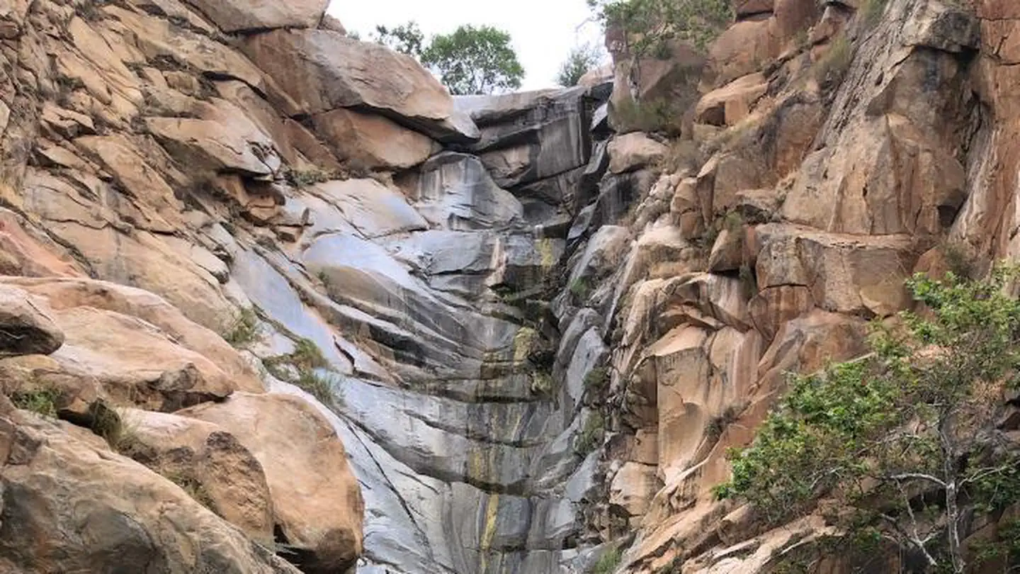 Cedar Creek FallsPermit
Overview: A visitor use permit is required to visit the Cedar Creek Falls Visitor Use Permit Area.
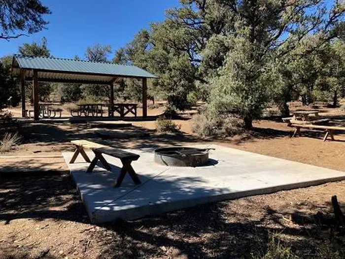 Cedar Flat Group CampgroundCampground · 3 sites
Overview Cedar Flat Group sites are popular with academic institutions for geology field trips.
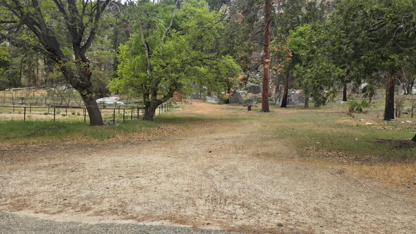 Cedar Grove Stock CampsiteCampground · 1 sites
Overview Cedar Grove Stock campsite is located deep in the Kings Canyon of Sequoia and Kings Canyon National Parks in central California's rugged Sierra Nevada…
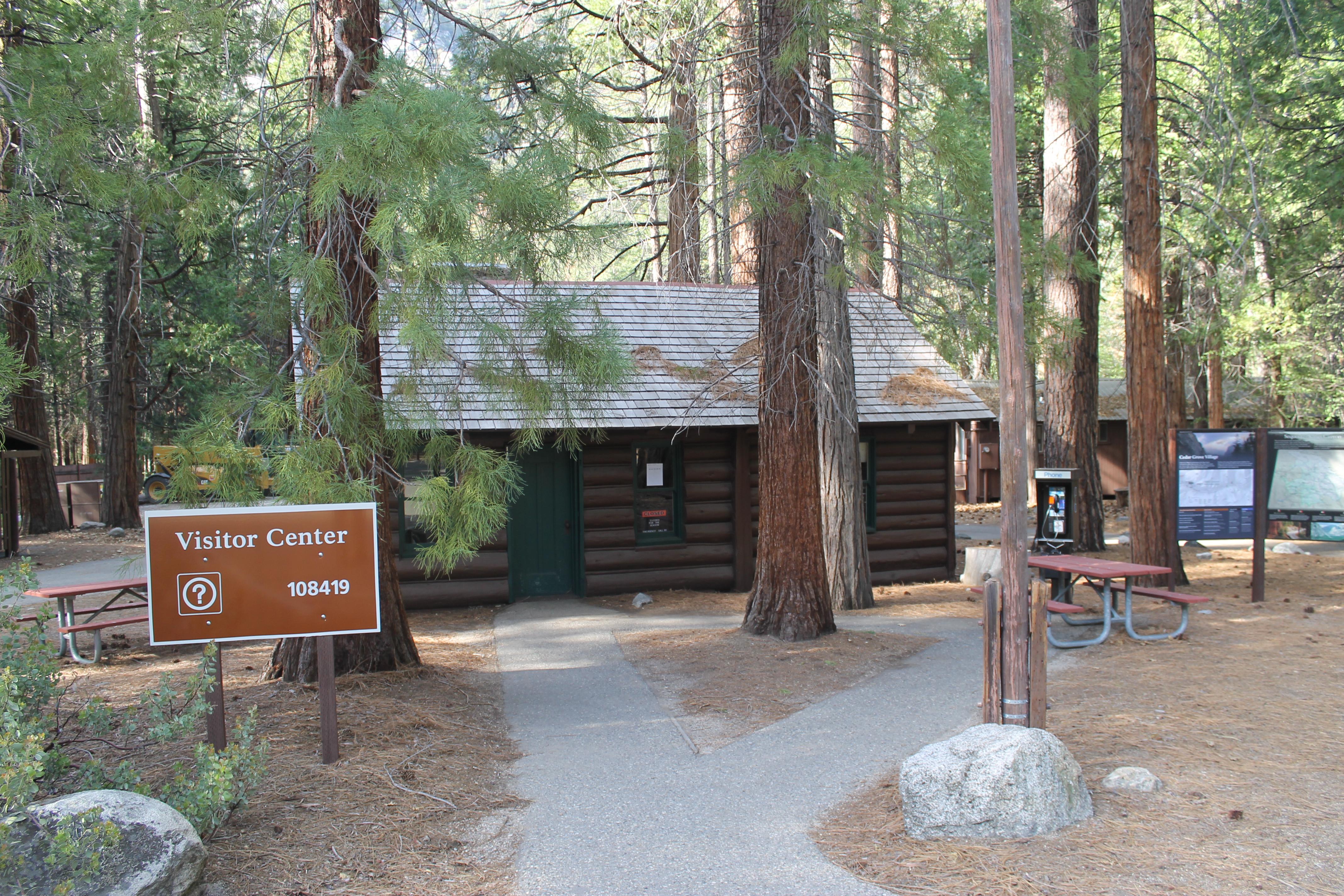 Cedar Grove Visitor CenterFacility · not watchable
The Cedar Grove Visitor Center, located in a small historic cabin beside the South Fork of the Kings River, sits in a mixed coniferous forest at an elevation…
- Cedarbrook Picnic AreaFacility · not watchable
Cedarbrook picnic area is at an elevation of 4,150 ft, and is surrounded by pine, cedar, and oak trees.
- Centimudi Public Boat RampFacility · not watchable
Located near Shasta Dam, the Centimudi ramp has four launching lanes available for varying lake levels; a four lane ramp with a courtesy dock is available when…
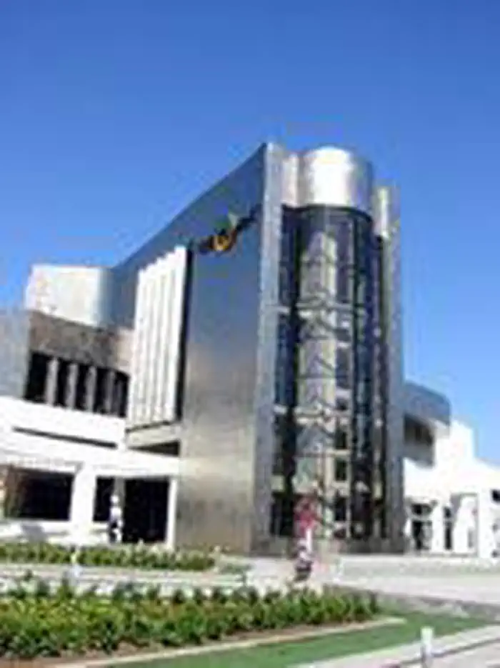 Cerritos LibraryFacility · not watchable
The expanded library, which opened on March 16, 2002, is modeled upon an experience-based concept combining books and other information resources.
- Cerro Alto LoopFacility · not watchable
Experience a climb to one of San Luis Obispo's highest points. Found within West Cuesta Ridge; Cerro Alto Loop, provides spectacular views of San Luis Obispo…
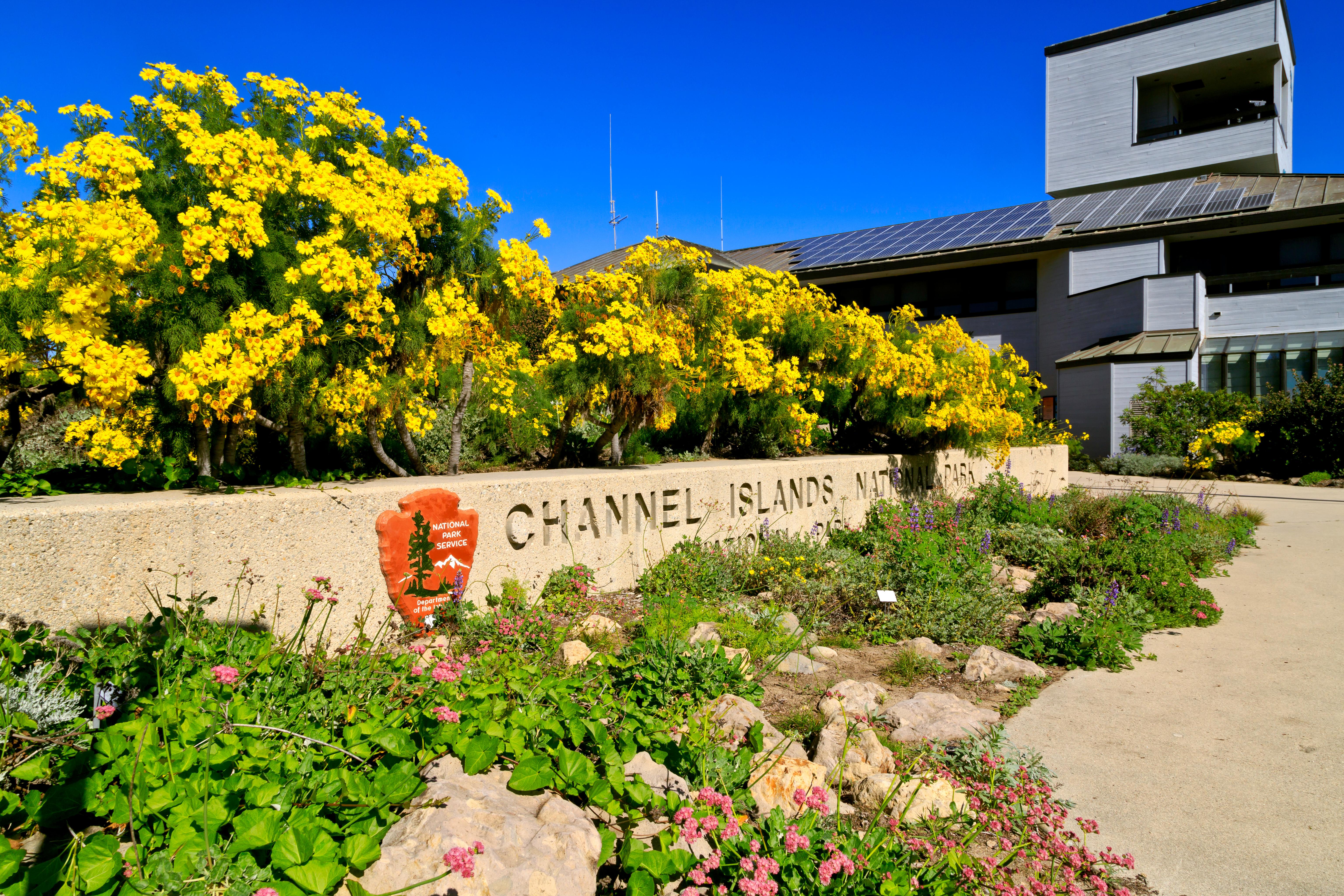 Channel Islands National Park Visitor CenterFacility · not watchable
The Robert J. Lagomarsino Visitor Center at Channel Islands National Park features a bookstore, a display of marine aquatic life, and exhibits featuring the…
- Chantry Flat Picnic SiteFacility · not watchable
At a Glance: Location: Arcadia, CA Use: Heavy Pets Allowed: Yes, but must remain on a leash 6-foot or shorter Fee: Adventure Pass must be displayed in the…
- Chaparral Neighborhoods Native Plant GardenFacility · not watchable
This native plant garden is located at the Cajon Ranger Station in Lytle Creek. It is open all year. Paved path is accessible.
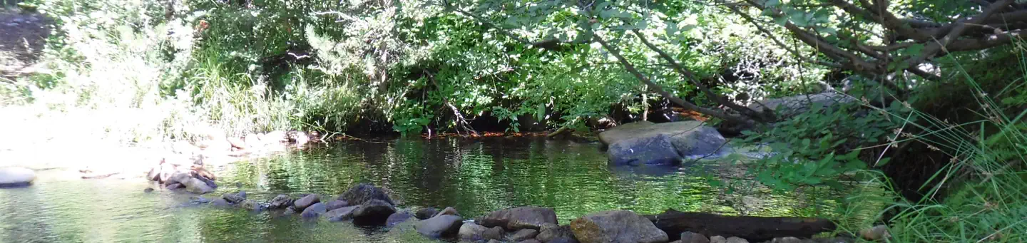 ChapmanCampground · 25 sites
Overview Chapman Creek Campground is located next to Chapman Creek, near the North Yuba River.
- Charlton Flats Picnic AreaFacility · not watchable
5,200-foot elevation. Day use hours are 6 am to 10 pm. During the winter months, Charlton Flat may close at any time due to snow and/or ice. Please contact…
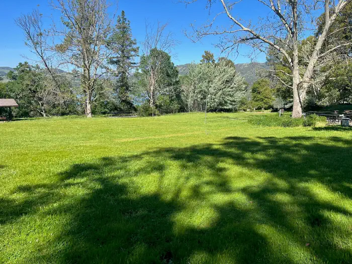 Chekaka Recreation Area Lake MendocinoCampground · 1 sites
Overview Chekaka Recreation Area is situated on Lake Mendocino in California's Mendocino Range, where redwood forests meet wine country.
- Cherry Gap OHV Staging AreaFacility · not watchable
Cherry Gap is an undeveloped staging area with dispersed camping nearby and no facilities.
- Cherry Gap Winter TrailheadFacility · not watchable
Cherry Gap trailhead is an undeveloped staging area with no facilities. The staging area is a popular snow play area, cross country ski access, and is located…
- Cherry LakeFacility · not watchable
Fish and boat on the largest lake on the Forest. Open all year, road access subject to winter closure.
 Cherry ValleyCampground · 45 sites
Overview Situated in the central Sierra Nevada, camping at Cherry Valley campground offers many beautiful sights.
- Chetco Divide / Vulcan Peak TrailheadFacility · not watchable
There is a bulletin board/registration box in the parking lot. Provides access to: Chetco Divide Trail #1210 and Vulcan Peak Trail #1120 which…
- Chicago Stump TrailheadFacility · not watchable
The Chicago Stump Trail is a short and easy hike to a very interesting and historical site.
- Chico Flat Dispersed CampingFacility · not watchable
Dispersed Camping on Upper Kern River approximately 4 to 5 miles north from Kernville. Ther is no water available at this location.
- Chico Seed OrchardFacility · not watchable
The Chico Seed Orchard is located on 209 acres, in Chico, CA. Development started in 1904 when the site was assigned to the Agricultural Research Service for…
- Chilao Picnic AreaFacility · not watchable
There is currently no piped water available at Chilao Picnic Area. Please bring enough water for cooking, cleaning, drinking, and extinguishing campfires.
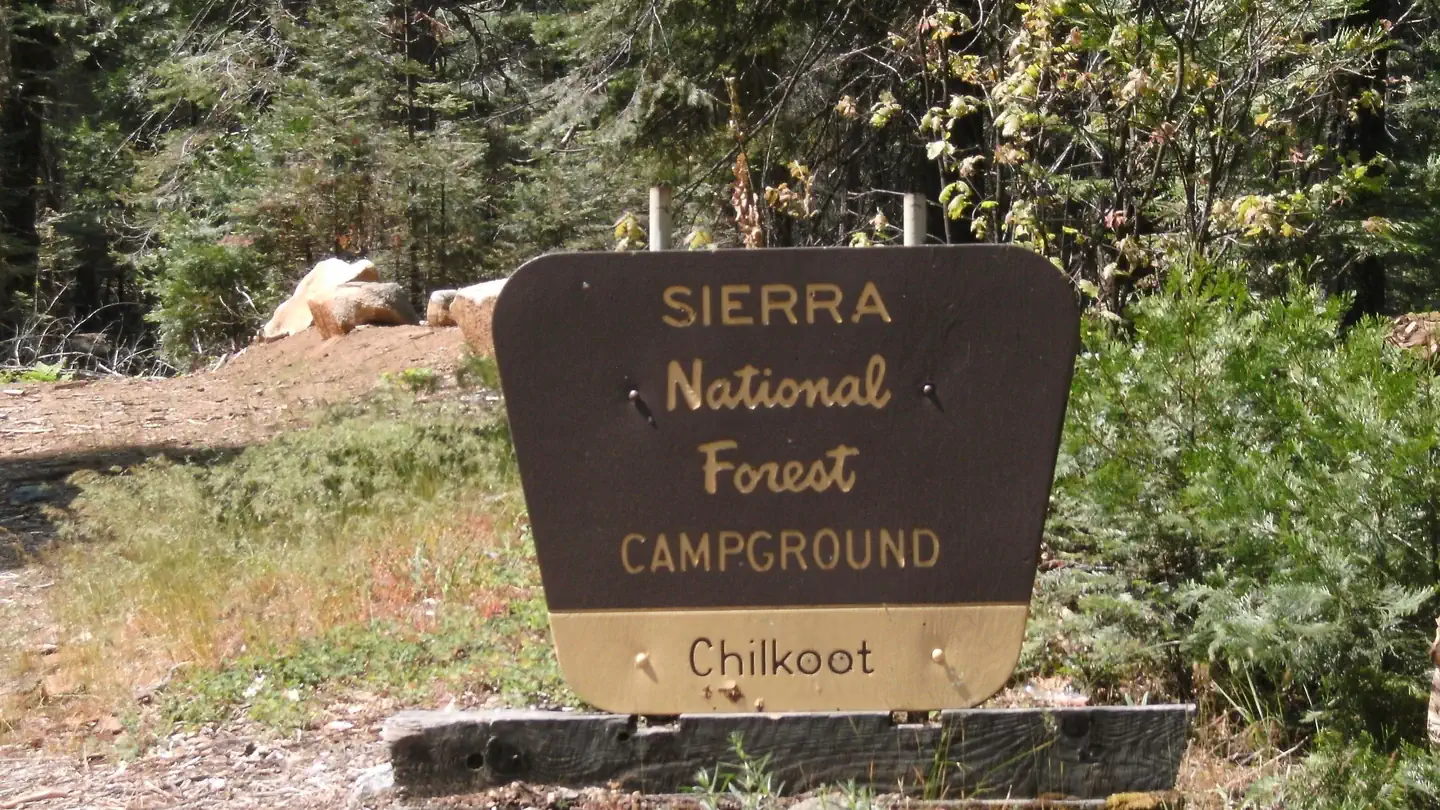 ChilkootCampground · 27 sites
Overview Chilkoot is named for the creek that runs by the campground. The facility is shaded by a grove of Ponderosa pine, fir and cedar, and offers ample…
- Chimney Creek CampgroundCampground · not watchable
Chimney Creek Campground is located within Chimney Peak Recreation Area and is cherry stemmed out of Owens Peak Wilderness.
- China Flat CampgroundCampground · not watchable
Recreation Opportunity Guides (ROG) - These guides contains information, maps, and directions to assist you in enjoying your trip to the Eldorado National…
- China Wall Staging AreaFacility · not watchable
China Wall is used as a staging area in summer by 2-wheeled OHV dirt bikes and motorcycles.
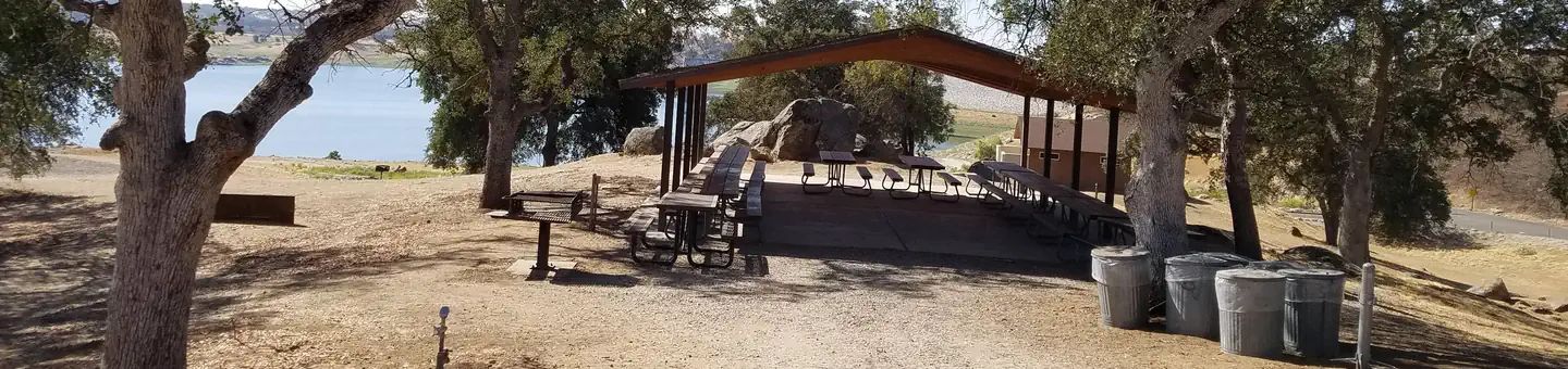 Chowchilla Recreation Area Day UseCampground · 1 sites
Overview Chowchilla Recreation Day Use Area is located at the beautiful Eastman Lake, surrounded by rugged oak-covered hills.
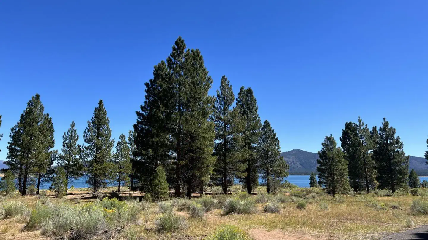 Christie CampgroundCampground · 66 sites
Overview Christie Campground is located in the Eagle Lake Recreation Area of the Lassen National Forest.
- Chula Vista TrailheadFacility · not watchable
This trailhead is located at the end of Mt. Pinos Highway at an elevation of 8,360 ft. The trailhead provides non-vehicle access to the Mt Pinos Summit…
- Chumash WildernessFacility · not watchable
Chumash Wilderness 38,150 acres was established 1992 by the Los Padres Condor Range and River Protection Act. The Chumash Wilderness is situated in the Mt.
 Circle X Ranch Group CampgroundCampground · 1 sites
Overview Circle X Ranch Group Campground is closed until further notice. There is no estimated re-opening date.
- Clark Fork CampgroundCampground · not watchable
Clark Fork Campground is situated along the banks of the Clark Fork of the Stanislaus River, five miles from the junction of Clark Fork Road and Highway 108.
- Clark Springs Day Use Area and BeachFacility · not watchable
Located off of State Route 3 on the Stuart Fork arm of Trinity Lake. There is one group picnic site and several other single sites, all with a table and…
- Clark Springs Public Boat RampFacility · not watchable
Located 17 miles from Weaverville, north on Hwy 3. The boat ramp is useable until the water reaches 46 feet drawdown and has a courtesy dock.
- Clark's Ranch Yellow Post SiteFacility · not watchable
This single remote camp site offers an isolated scenic location ideal for tent and car camping or a relaxing picnic far from the crowds.
- Cleghorn CreekFacility · not watchable
California Department of Fish and Game plants rainbow trout twice per month in spring. Seasonal, low gradient tributary to Silverwood Lake.
- Cleghorn Ridge OHV Road 2N47Facility · not watchable
15.2 mile road open to OHV vehicles that runs from the Cleghorn off-ramp on Interstate 15 in Cajon Pass over Cleghorn ridge to State Highway 138 at Lake…
- Coachella Valley Vista PointFacility · not watchable
Vista Point is about five miles up Hwy 74 as it snakes its way out of the Coachella Valley south of Palm Desert and into the Santa Rosa Mountains.
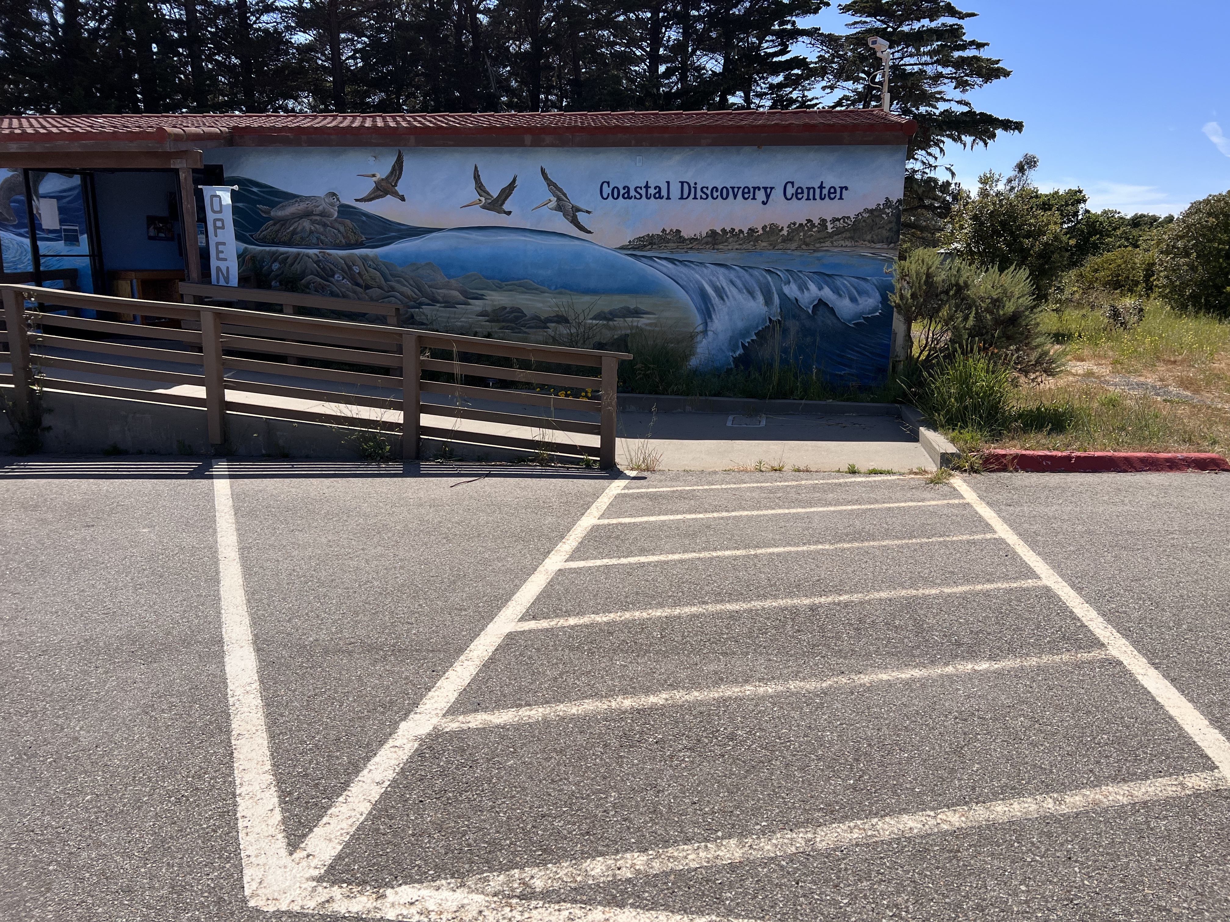 Coastal Discovery CenterFacility · not watchable
Located on beautiful San Simeon Bay, the Coastal Discovery Center offers interactive exhibits and educational programs highlighting the cultural and natural…
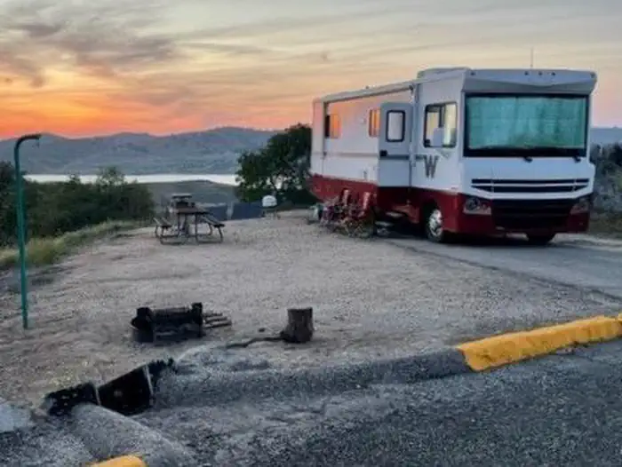 Codorniz Recreation Area CampgroundCampground · 66 sites
Overview Codorniz Campground on H.V. Eastman Lake is a perfect launchpad for activities like fishing, canoeing, birding and hiking.
 Cold CreekCampground · 13 sites
Overview Cold Creek Campground is located on Highway 89, 4.5 miles south of Sierraville, California.
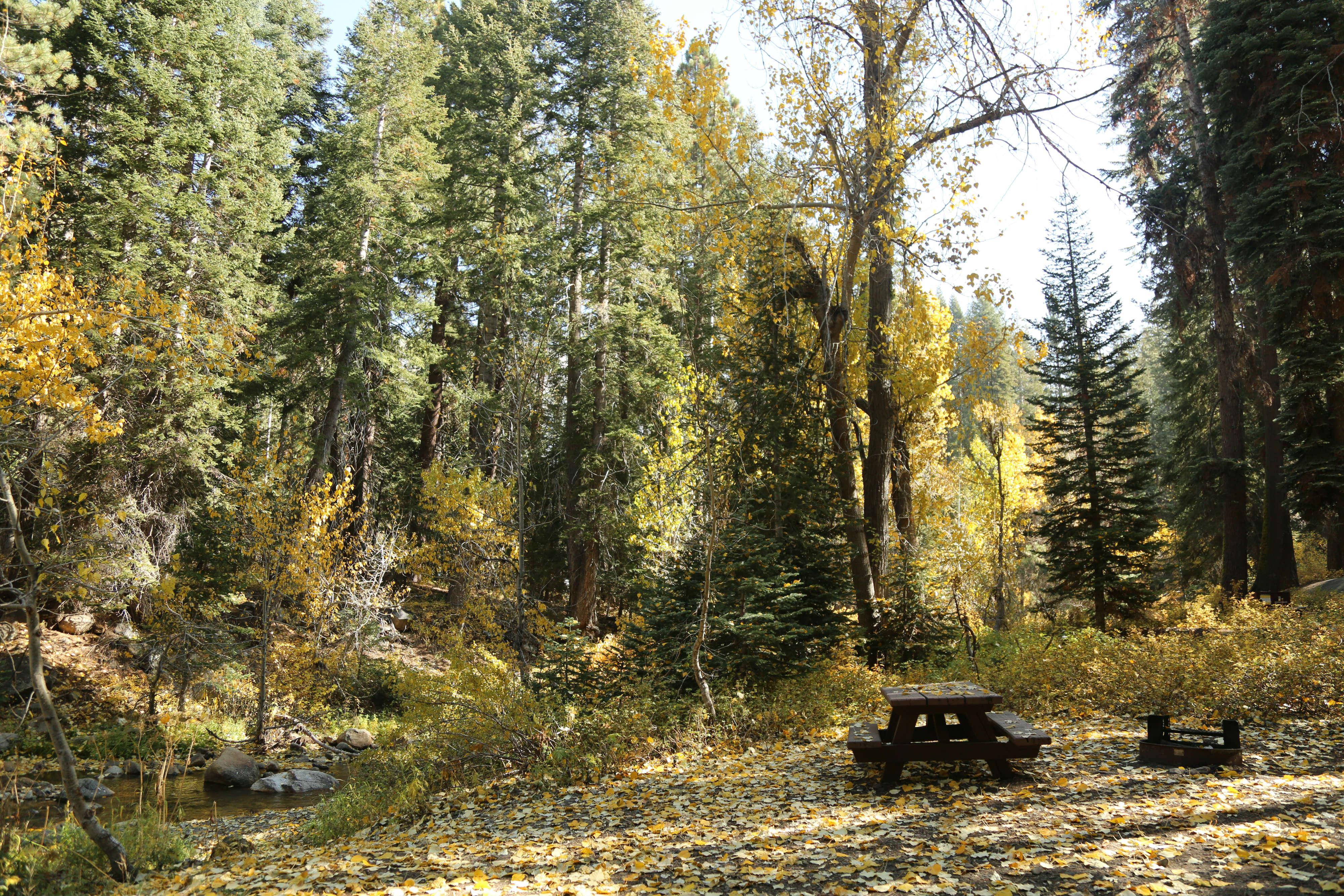 Cold Springs Campground (CA)Campground · 38 sites
Overview The Mineral King area features the highest elevation campground in the parks. At 7,500 feet (2280 m), it is only open during the summer months.
- Cold Springs Summit Interpretive Site (minor)Facility · not watchable
This is the highest point along the Sierra Vista Scenic Byway. A short walk along the trail to viewing benches and platform at Cold Springs Meadow will unveil…
- Coldbrook CampgroundCampground · not watchable
Coldbrook Campground offers 22 shaded campsites* at the intersection of Coldbrook and Soldier Creeks that are open year round.
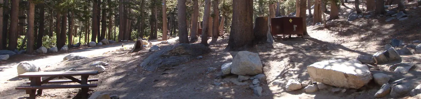 Coldwater Campground - Inyo NF (CA)Campground · 74 sites
Overview Coldwater Campground is located high in the eastern Sierra Nevada Mountains near the town of Mammoth Lakes, California.
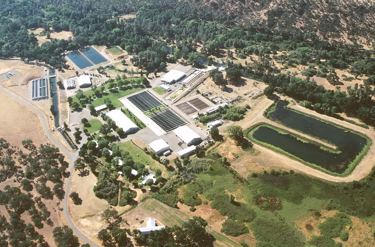 Coleman National Fish HatcheryFacility · not watchable
Coleman National Fish Hatchery, located in Anderson, California, is the largest salmon hatchery in the contiguous 48 US states.
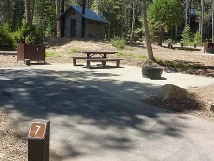 CollegeCampground · 10 sites
Overview College Campground is located on Huntington Lake near the Kaiser Wilderness.
- Columns of the GiantsFacility · not watchable
An easy ¼ mile walk to unusual geologic formations with spectacular views of basalt columns. Beautifully improved accessible trails.
- Converse Basin GroveFacility · not watchable
Handouts: Converse Basin (PDF - 214k) Converse Basin Grove (GPS NAD 83: 36.799, -118.968) gives us a glimpse of a time when Manifest Destiny was the slogan of…
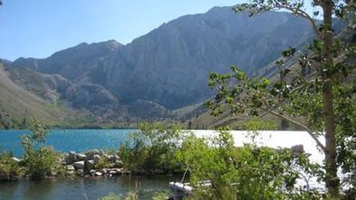 Convict Lake CampgroundCampground · 48 sites
Overview Convict Lake Campground is situated near Convict Lake amidst the beautiful scenery of the Sierra Nevada Mountains.
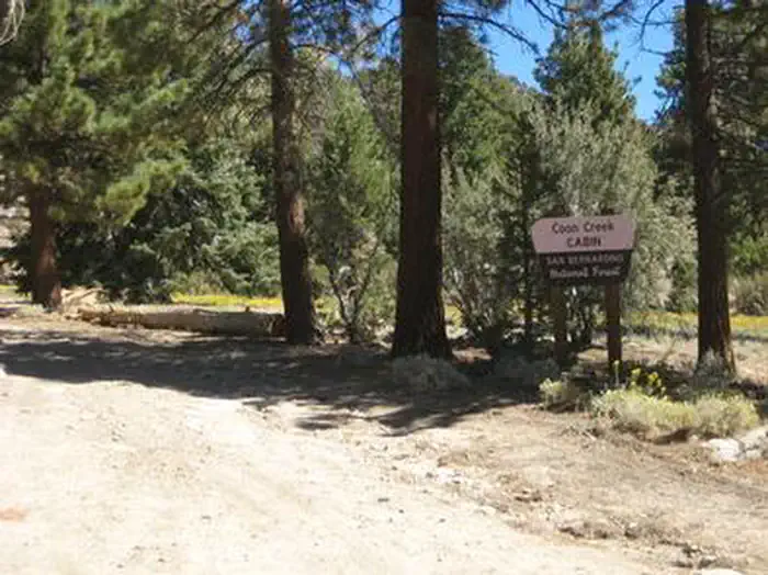 Coon Creek Group CampgroundCampground · 1 sites
Overview The Coon Creek Group Campground is located in the pine-covered mountains of Southern California.
- Coon Creek Yellow Post SitesFacility · not watchable
These 19 yellow post sites are individual camping sites. Each campsite will be available on a first-come-first-serve basis. No reservations.
- Coon Hollow CampgroundCampground · not watchable
Located in the lower Colorado Desert in eastern Riverside County, the Coon Hollow campground is located adjacent to a desert riparian wash populated by palo…
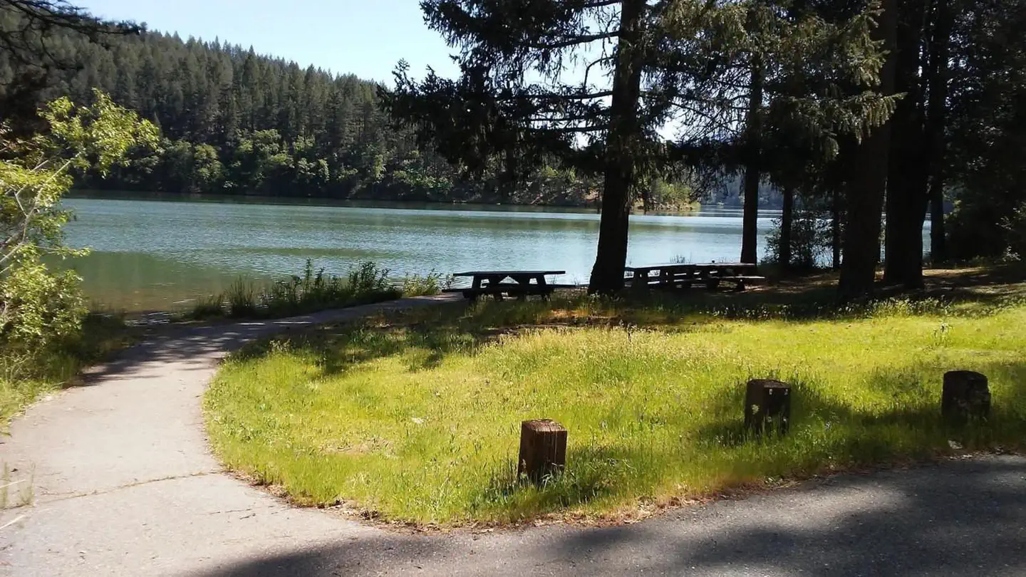 Cooper Gulch CampgroundCampground · 5 sites
Overview Located on the shores of Lewiston Lake, approximately 4 miles north of Lewiston on County Road 105, and 17 miles from Weaverville.
- Cooper Gulch Day Use AreaFacility · not watchable
Cooper Gulch Day Use area is located 19 mile east of Weaverville, 4 miles north of Lewiston on Lewiston Lake and is situated on the water's edge and is a…
- Corn Springs CampgroundCampground · not watchable
The Corn Springs Campground is located deep in a canyon of the Chuckwalla Mountains and has a $6.00 per night camping fee.
- Corral Canyon CampgroundCampground · not watchable
Corral Canyon Campground Distance 1.2 miles with connecting options Campfires Campfires are not allowed when elevated fire restrictions are in effect.
- Corral Creek Dispersed CampingFacility · not watchable
Dipersed camping and day use site along the North Fork of the Kern River. Portable toilets and trash bins available during summer months.
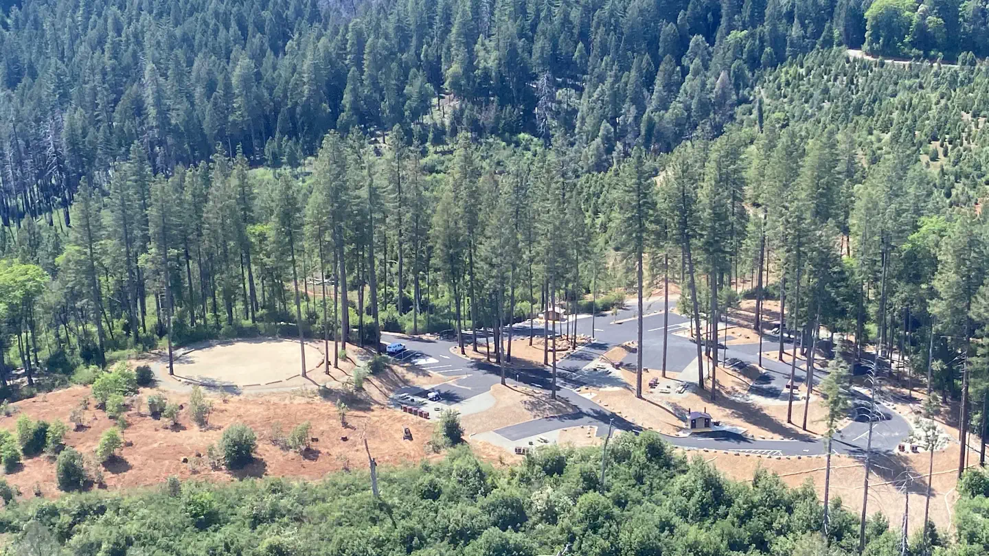 Cottage Creek Campground (CA)Campground · 9 sites
Overview Cottage Creek is a new campground with all new amendities. It has double and triple sites.
- Cottonwood CampgroundCampground · not watchable
Among the live oaks in southeastern San Diego County is Cottonwood Campground. The campground offers a tranquil and refreshing experience.
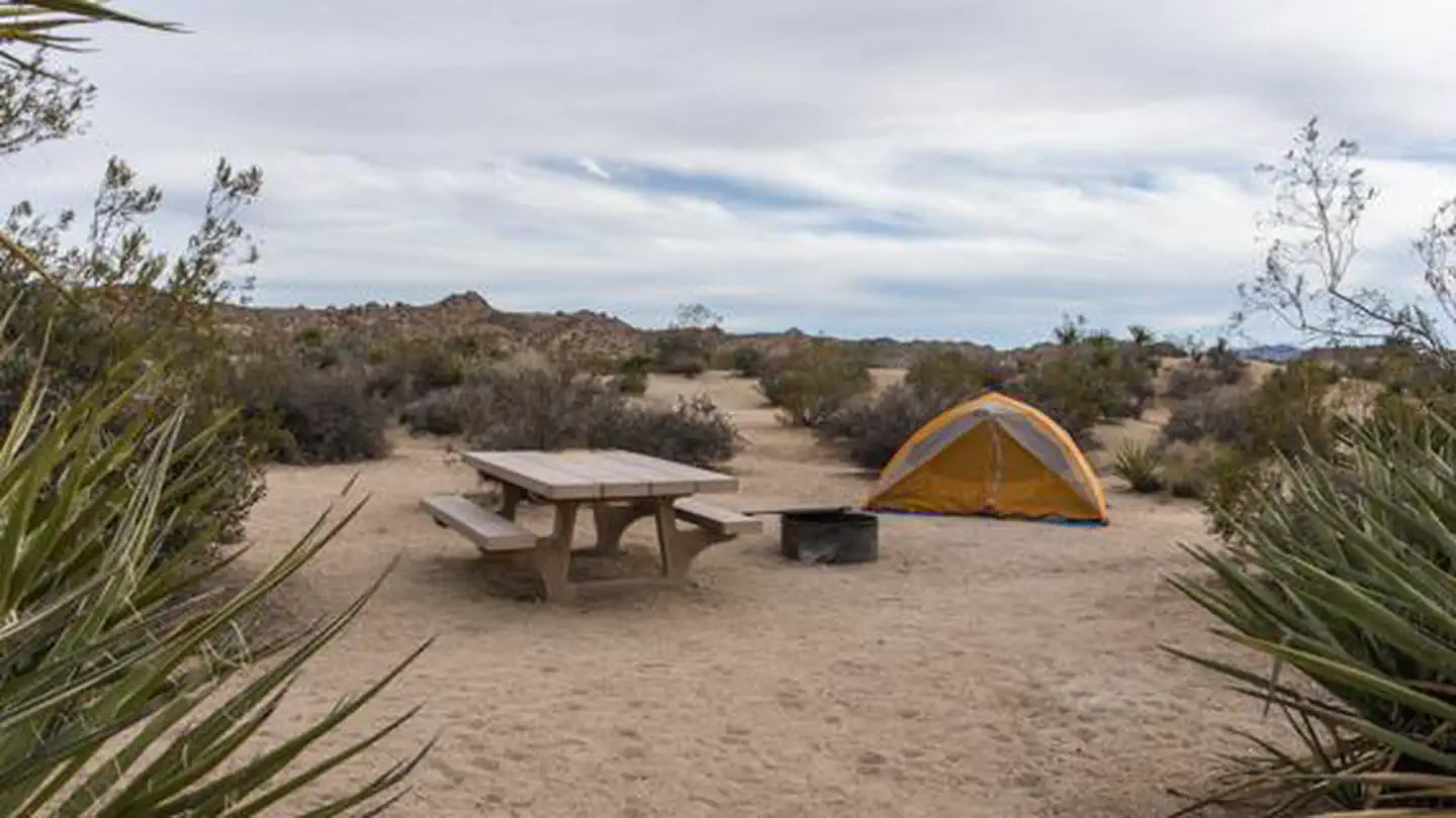 Cottonwood Campground (Ca)Campground · 59 sites
Overview Download the NPS app prior to visiting the park – trail maps and more! Cottonwood Campground is one of the best places in Joshua Tree National Park…
- Cottonwood Campground (El Centro)Facility · not watchable
Overview Among the live oaks in southeastern San Diego County is Cottonwood Campground. The campground offers a tranquil and refreshing experience.
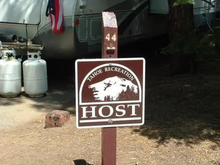 Cottonwood CreekCampground · 48 sites
Overview Cottonwood Creek Campground is located on Highway 89, four miles south of Sierraville.
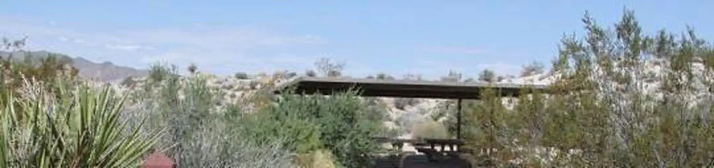 Cottonwood GroupCampground · 3 sites
Overview Download the NPS app prior to visiting the park – trail maps and more! Cottonwood Group Campground is one of the best places in Joshua Tree National…
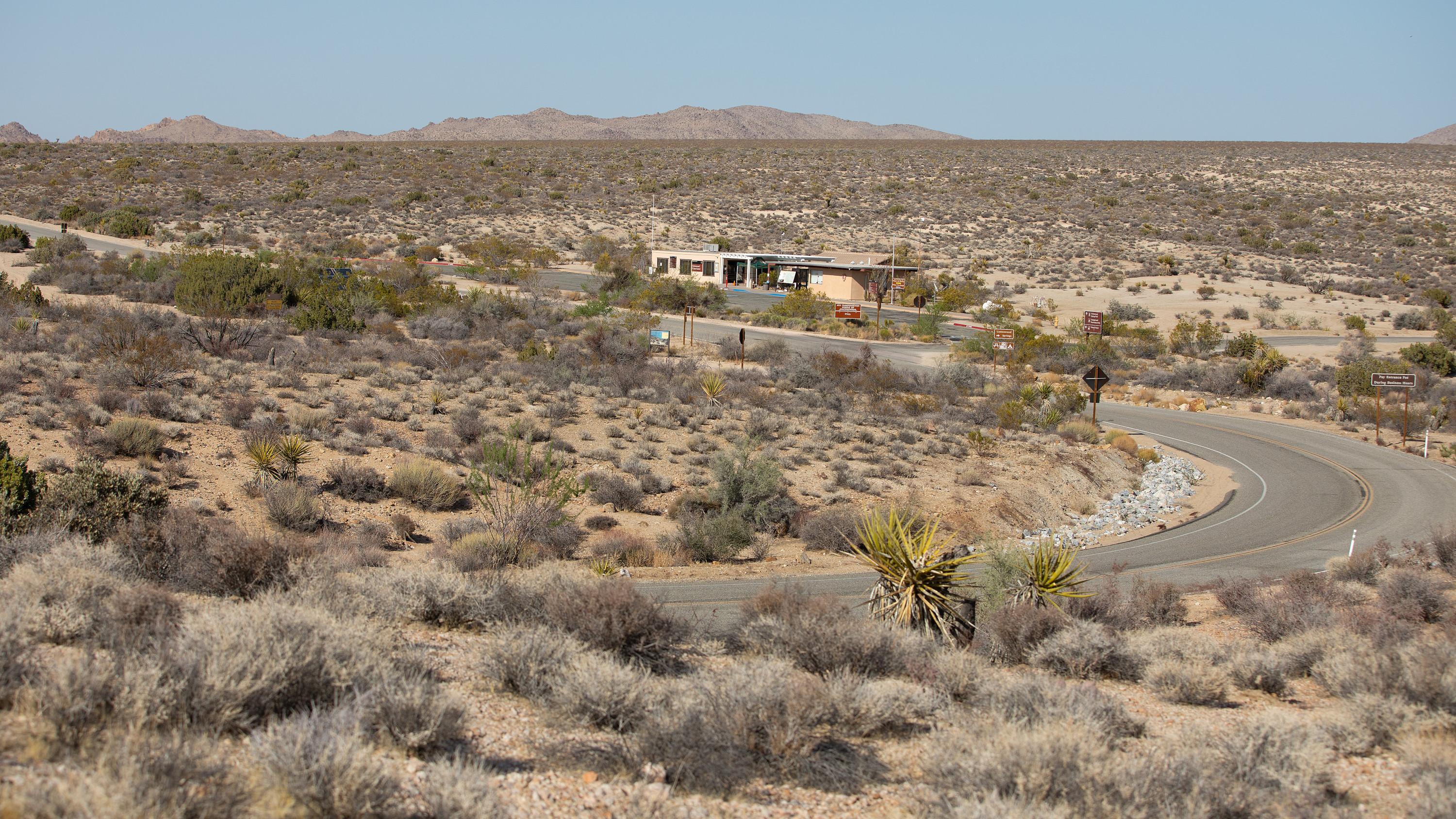 Cottonwood Visitor CenterFacility · not watchable
Located on Pinto Basin Road, approximately 7 miles north of Interstate 10 (exit 168), the Cottonwood Visitor Center is a convenient stop for those entering and…
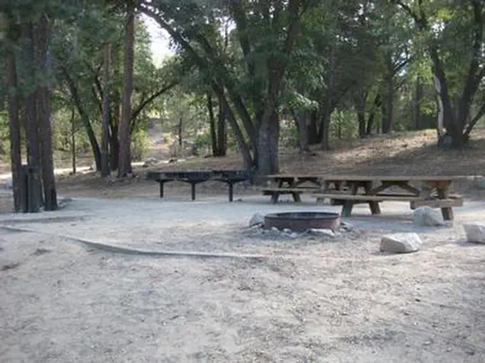 CouncilCampground · 1 sites
Overview The Council Group Campground is a great place to enjoy a large outdoor gathering with just about everything the San Bernardino National Forest has to…
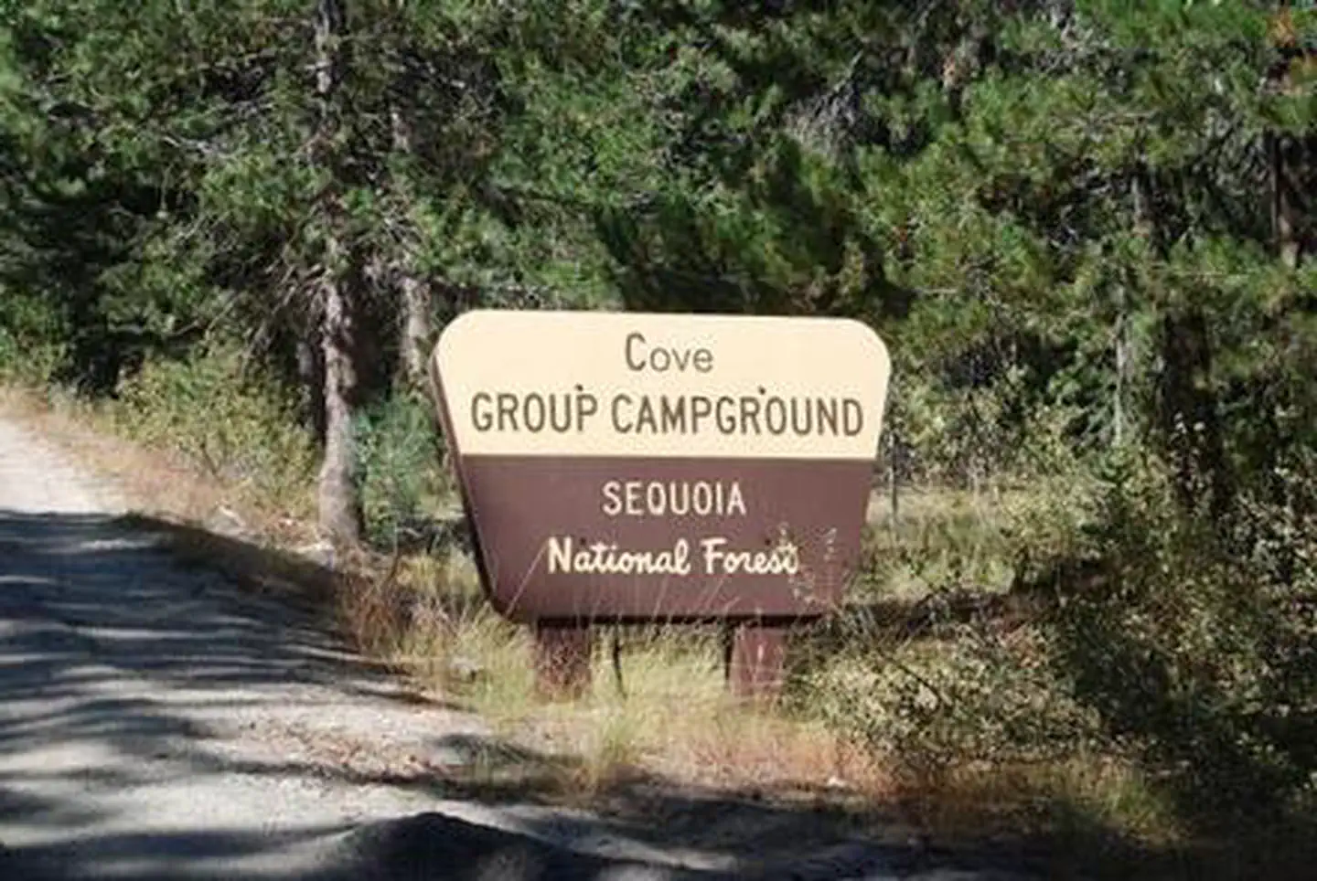 Cove GroupCampground · 1 sites
Overview Cove Group Campground is set an elevation of 6,400 feet, just 18 miles from Lake Hume in California's Sequoia National Forest.
- Cowboy Camp Equestrian Campground and Wildlife Viewing AreaFacility · not watchable
Secluded within a hilly expanse of oak woodlands, grasslands, and chaparral, you can find Cowboy Camp.
- Coxey OHV Road 3N14Facility · not watchable
This road travels 17.8 miles from Fawnskin to the northern forest boundary, eventually ending up in the outskirts of Apple Valley.
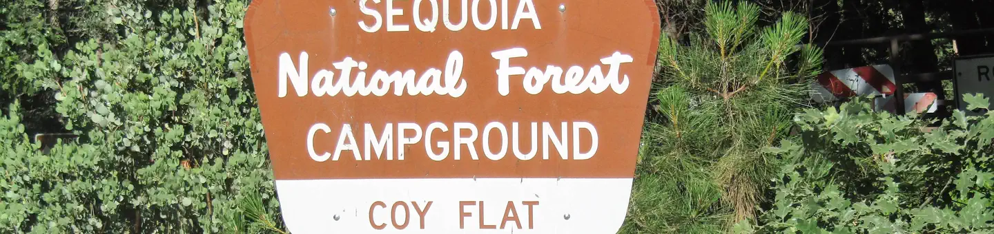 Coy FlatCampground · 19 sites
Overview Coy Flat is a small, charming group campsite located within the Giant Sequoia National Monument at an elevation of 5,000 feet, near the 4,666-acre…
 Coyote GroupCampground · 4 sites
Overview Coyote Group Campground is located on the northeast end of French Meadows Reservoir, near the Middle Fork of American River.
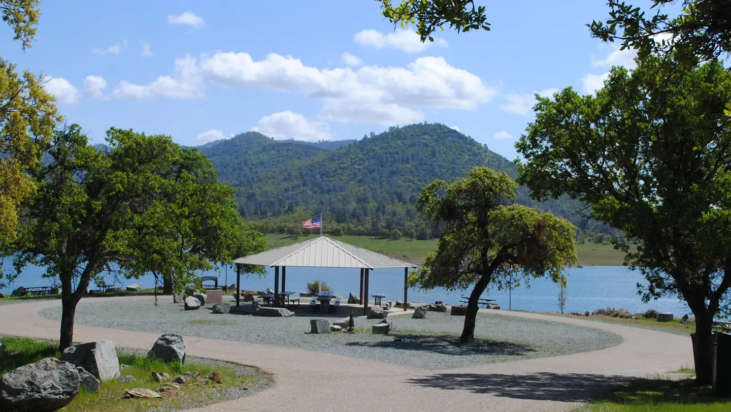 Coyote PointCampground · 1 sites
Overview Coyote Point sits along New Hogan Lake in the brush-covered foothills of the Sierra Nevada Mountains.
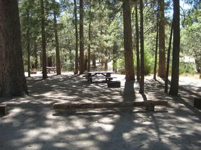 Crab FlatsCampground · 28 sites
Overview Crab Flats Campground is an off-roaders paradise, with plenty of off-road vehicle trails nearby for both beginner and experienced riders.
- Crab Flats OHV Road 3N34Facility · not watchable
The Crab Flats OHV Road 3N34 is also known as the "Willow Creek Jeep Trail" on the west end and a portion just east of Deep Creek is known as "Dishpan…
- Crabtree Cross-Country Ski TrailheadFacility · not watchable
The Summit Ranger District offers 25.5 miles of marked cross-country ski trails. The trails are of varying difficulty: from fairly level beginners trails, to…
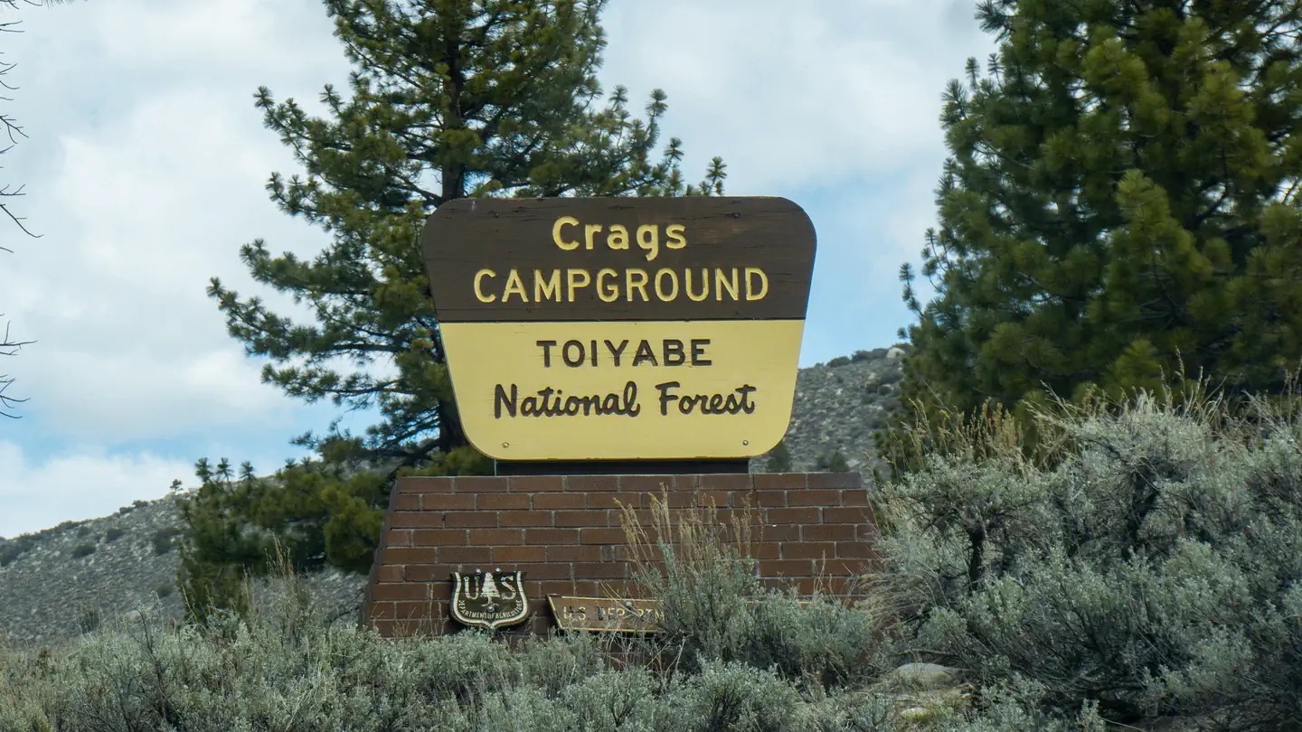 Crags CampgroundCampground · 22 sites
Overview Crags Campground is located just 10 miles from Bridgeport, California, at an elevation of 7,000 feet.
- Crandall / Deer CreekFacility · not watchable
A popular motorcycle riding area with 40 miles of signed trails and 140 miles of road open to OHV use extending from north of Crandall Peak to the Deer Creek…
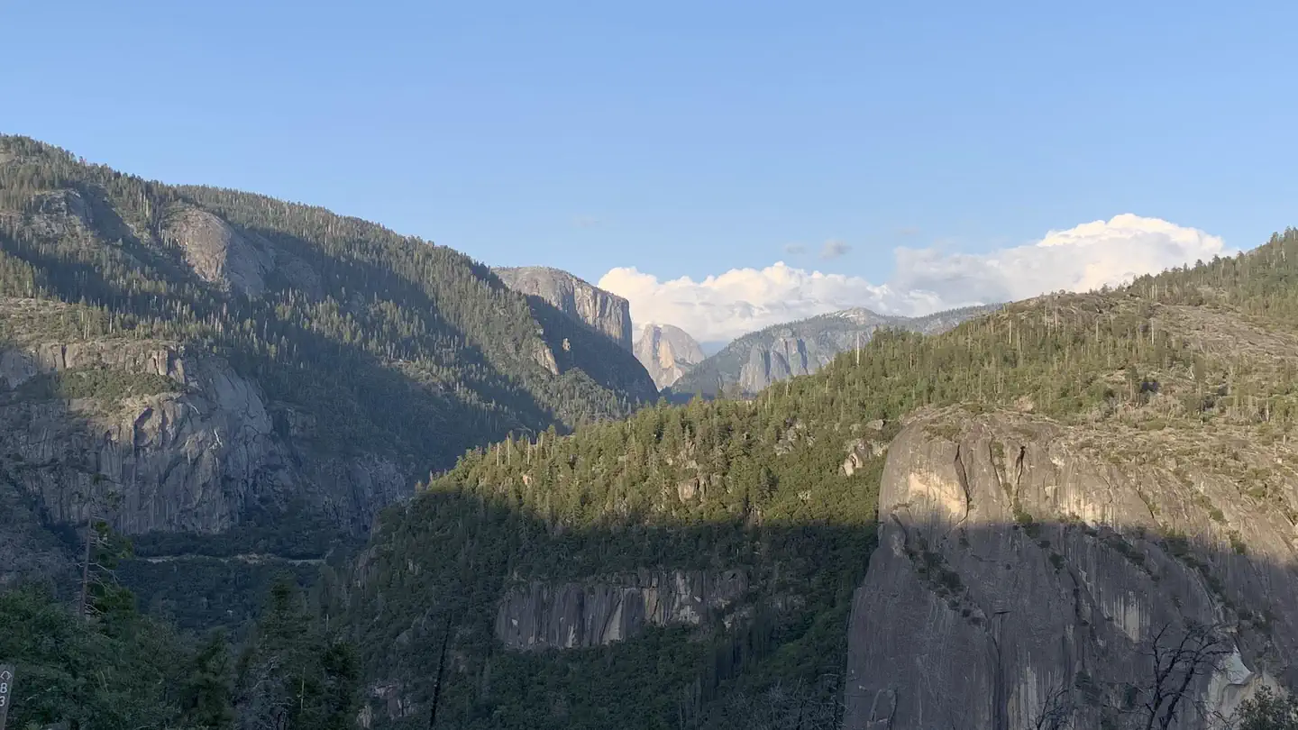 Crane Flat CampgroundCampground · 147 sites
Overview Crane Flat recently underwent a complete overhaul and rehabilitation. Please be mindful of young plants and shrubs by keeping all wheels on parking…
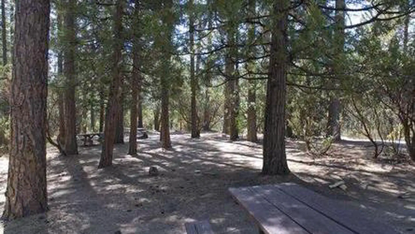 Crane ValleyCampground · 7 sites
Overview Crane Valley will be closed the entire 2019 - 2028 camping season due to a massive hazard tree removal Crane Valley Group Campground is located…
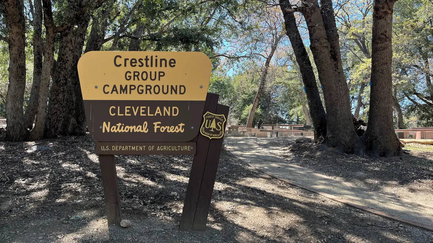 Crestline Group CampgroundCampground · 1 sites
Overview Crestline Group Campground is located in a wooded area on Palomar Mountain, at approximately 5,390 feet in elevation.
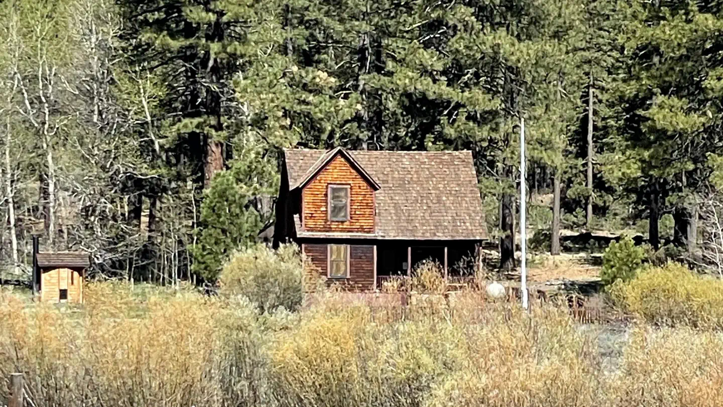 Crocker Guard StationCampground · 1 sites
Overview Crocker Guard Station was built in 1912 as a home for Forest Service personnel, and was later staffed as a fire station until the 1980s.
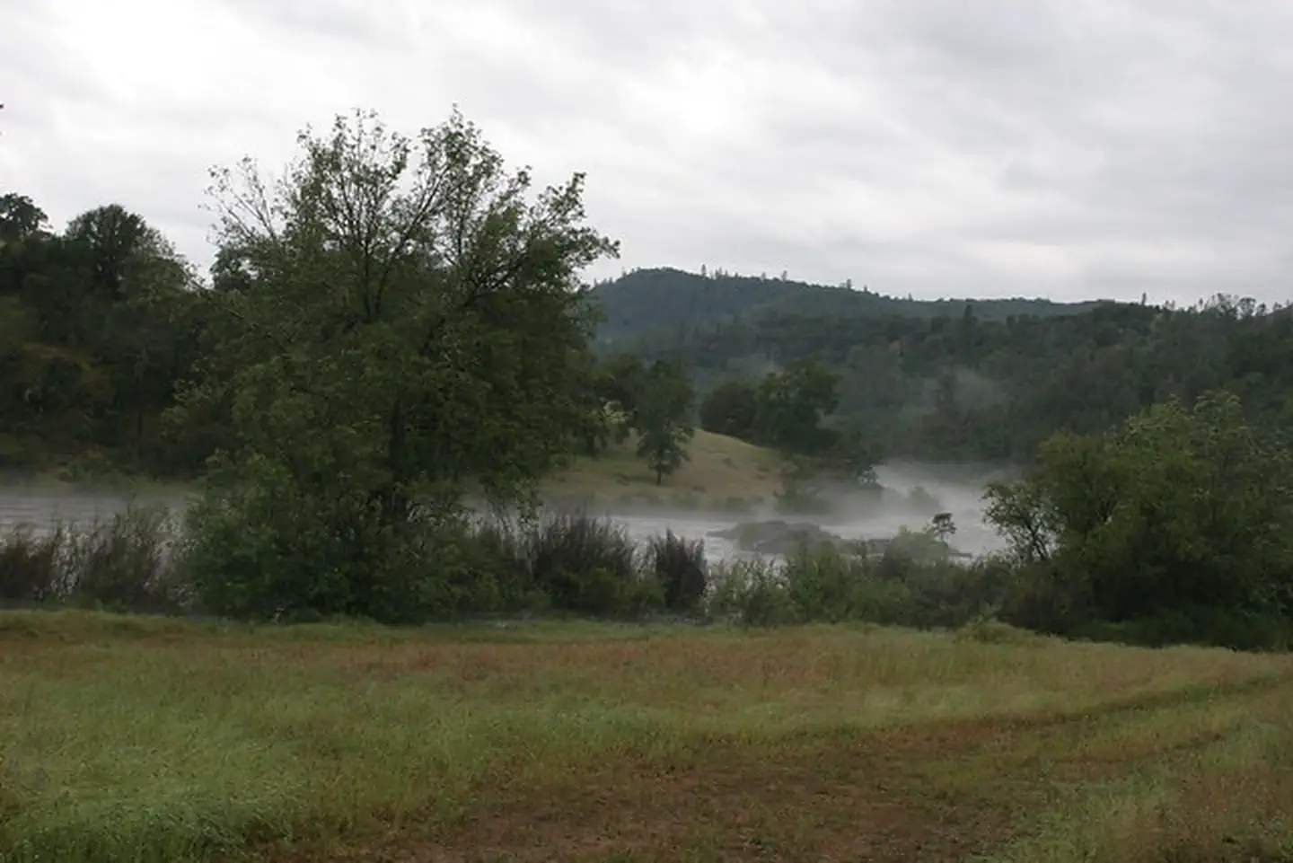 Cronan Ranch TrailheadFacility · not watchable
Remember your OUTDOOR ETHICS when enjoying your public lands. Please RECREATE RESPONSIBLY.
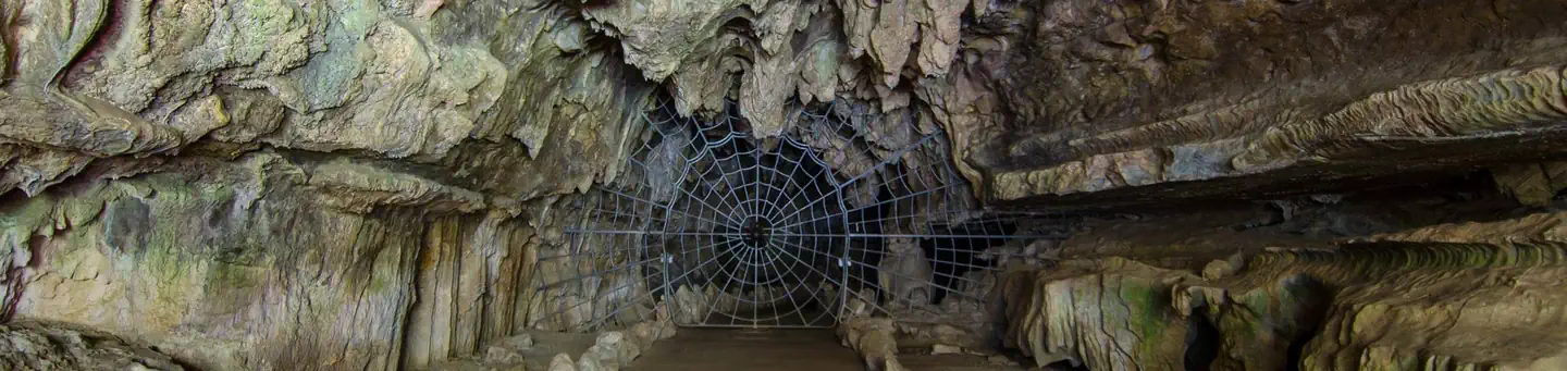 Crystal Cave Tours Sequoia National ParkTickets
Overview: The dramatic landscape of Sequoia and Kings Canyon National Parks testifies to nature's size, beauty and diversity's huge mountains, rugged…
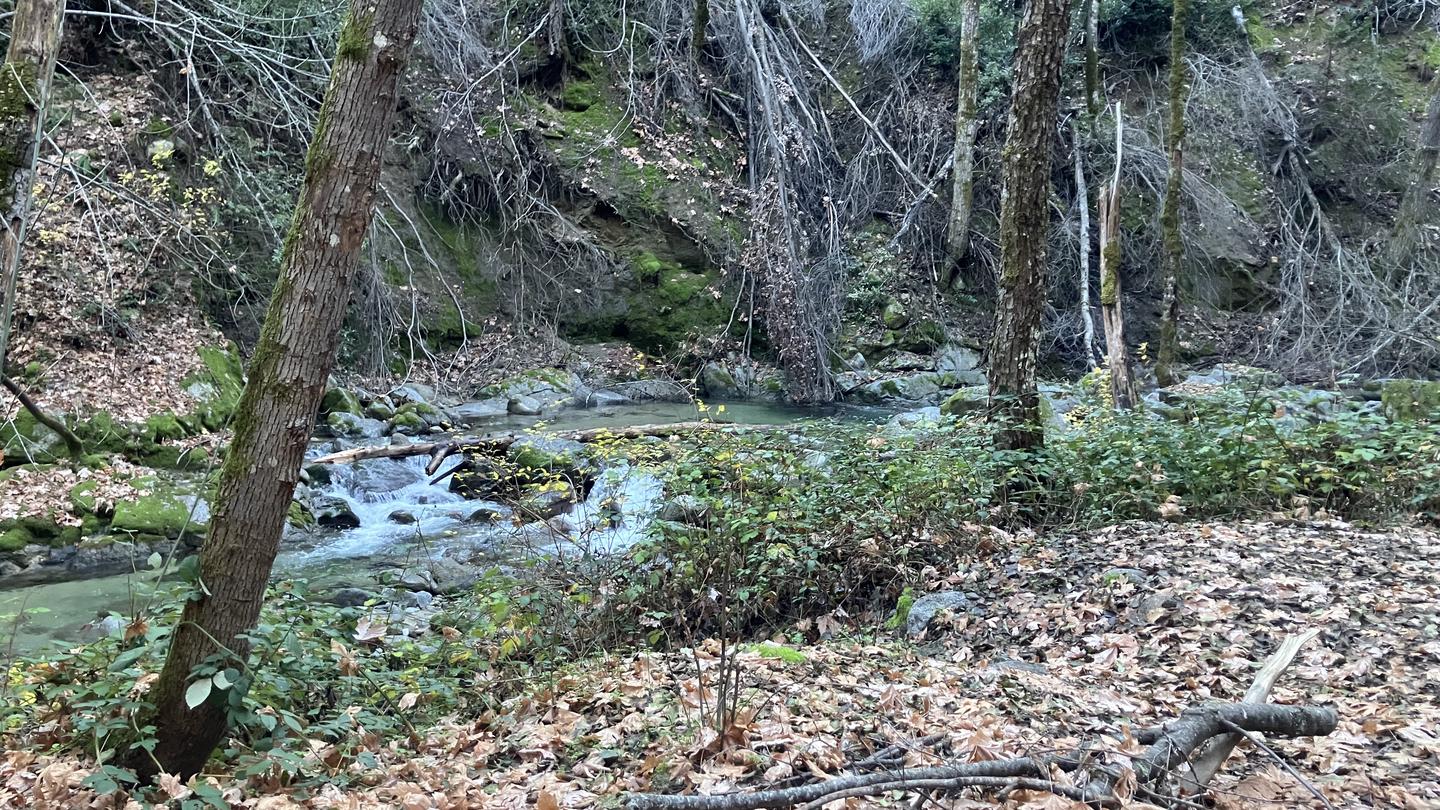 Crystal Creek Primitive CampgroundCampground · 2 sites
Overview This tent-only campground is located in the northwest corner of Whiskeytown National Recreation Area, 19 miles west of Redding, California, and three…
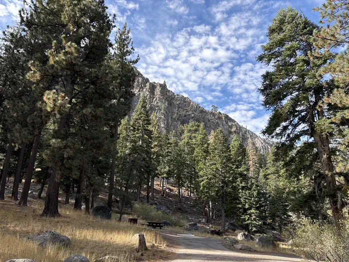 Crystal SpringsCampground · 17 sites
Overview Crystal Springs is a peaceful little campground near the West Fork of the Carson River. Recreation The area is popular for fishing, hiking, ATVing,…
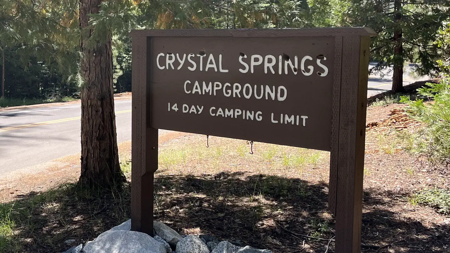 Crystal Springs Campground (CA)Campground · 34 sites
Overview Crystal Springs campground is centrally located in Sequoia and Kings Canyon National Parks in central California's rugged Sierra Nevada range.
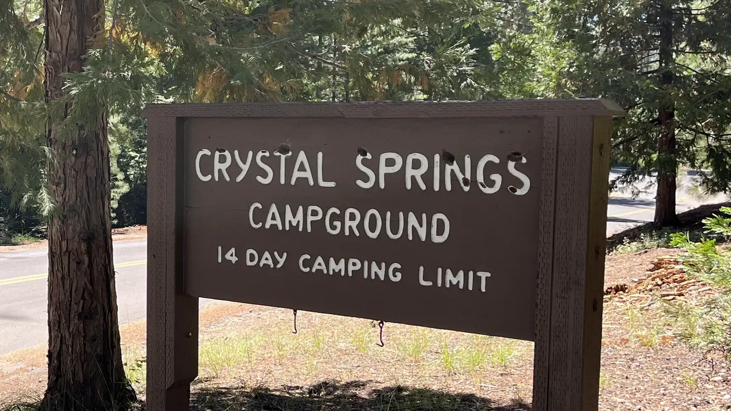 Crystal Springs Campground Mid-Sized Group SitesCampground · 14 sites
Overview Crystal Springs campground is centrally located in Sequoia and Kings Canyon National Parks in central California's rugged Sierra Nevada range.
- Cumbre Day UseFacility · not watchable
Located among the pines high on Figueroa Mountain. Beautiful displays of wildflowers March through May.
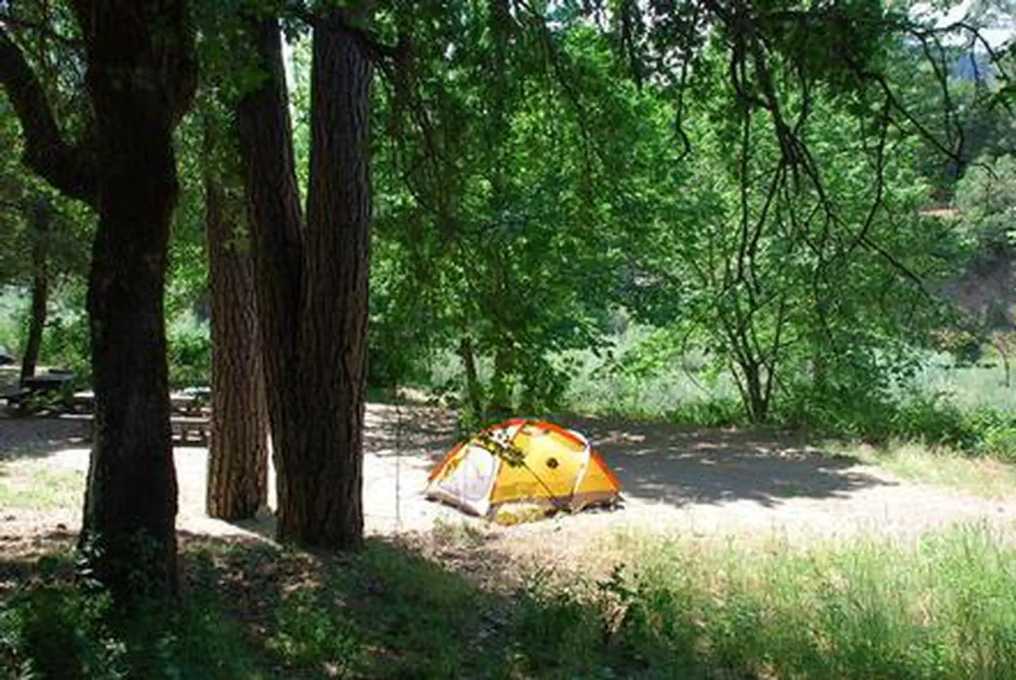 Curly Jack CampgroundCampground · 16 sites
Overview Curly Jack Campground is situated along the Klamath Wild and Scenic River near the town of Happy Camp.
- Cypress TrailheadFacility · not watchable
This large trailhead offers the best equestrian access for the Thousand Lakes Wilderness. Plenty of parking and turn around room for vehicles and trailers.
- Cyrus Canyon OHV ParkFacility · not watchable
Cyrus Canyon OHV Parkis located northeast of Lake Isabella at an elevation of 2,600ft.
- Cyrus Canyon Shooting RangeFacility · not watchable
The Kern River Valley Gun Association shooting range is managed under a cooperative agreement with the Sequoia National Forest.
 César E. Chávez National Monument Visitor CenterFacility · not watchable
Explore the history of Cesar Chavez and the farmworker movement. Originally built in 1914, the visitor center was entirely rebuilt in 2003.
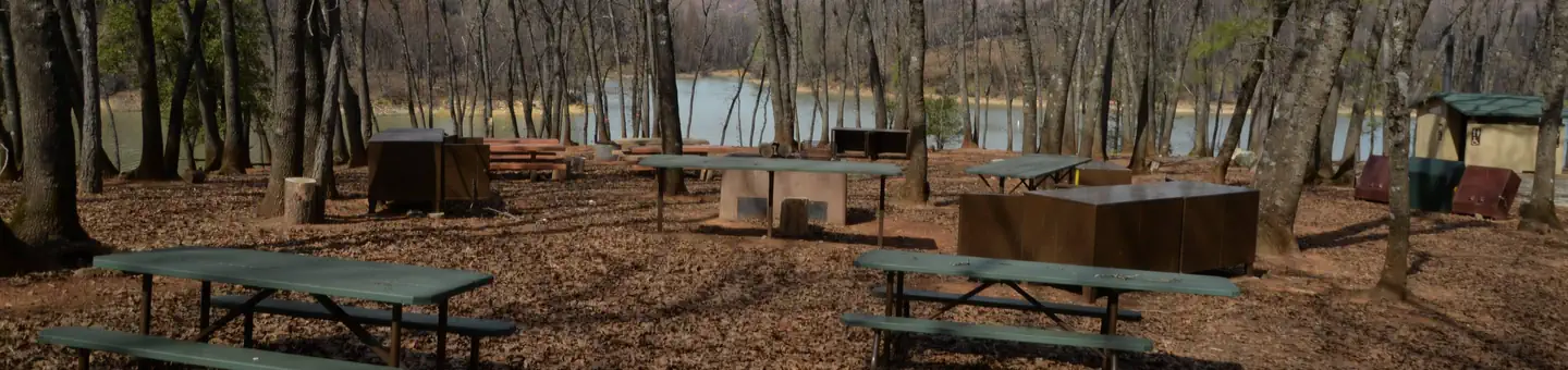 DRY CREEK GROUP CAMPGROUND (Whiskeytown NRA)Campground · 2 sites
Overview This tent-only group campground is located on the southern shore of Whiskeytown Lake in Whiskeytown National Recreation Area, 14 miles west of…
- Dagelma TrailheadFacility · not watchable
Provides access to: Calsh Trail #971, Sinns Barr Trail #972, Osprey Trail #973, Prospectors Loop Trail #974 Facilities No picnic table No fire pit No drinking…
- Dardanelle CampgroundCampground · not watchable
Dardanelle Campground is situated in a mixed conifer forest along the banks of the Stanislaus River.
- Dark Day Boating SiteFacility · not watchable
Dark Day Boating Site is located on beautiful Bullard's Bar Reservoir. Bullard’s Bar Reservoir activities include fishing, boating, water skiing, and other…
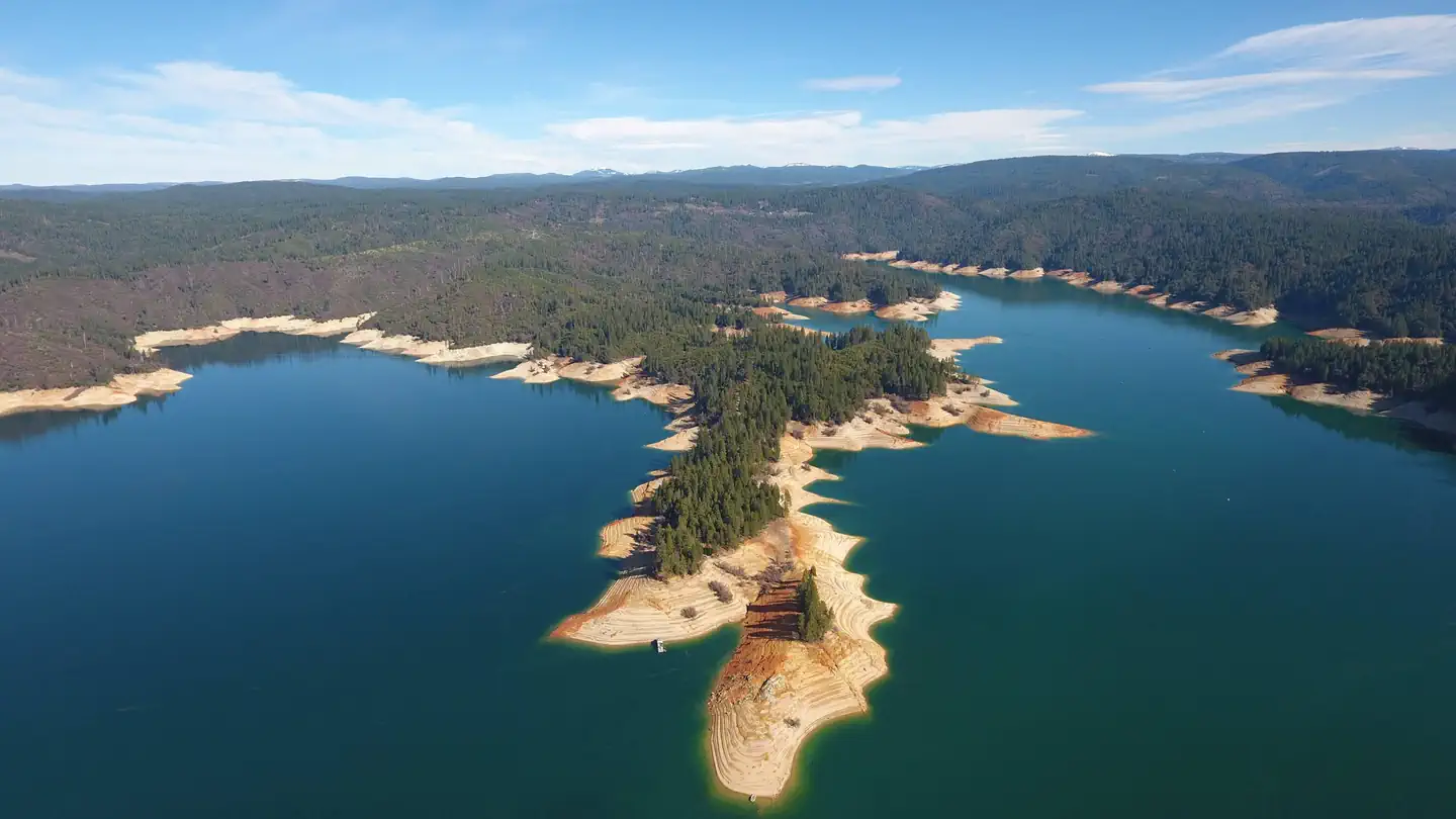 Dark Day CampgroundCampground · 10 sites
Overview Bullards Bar Reservoir is located on the North Yuba River at an elevation of 2000 feet.
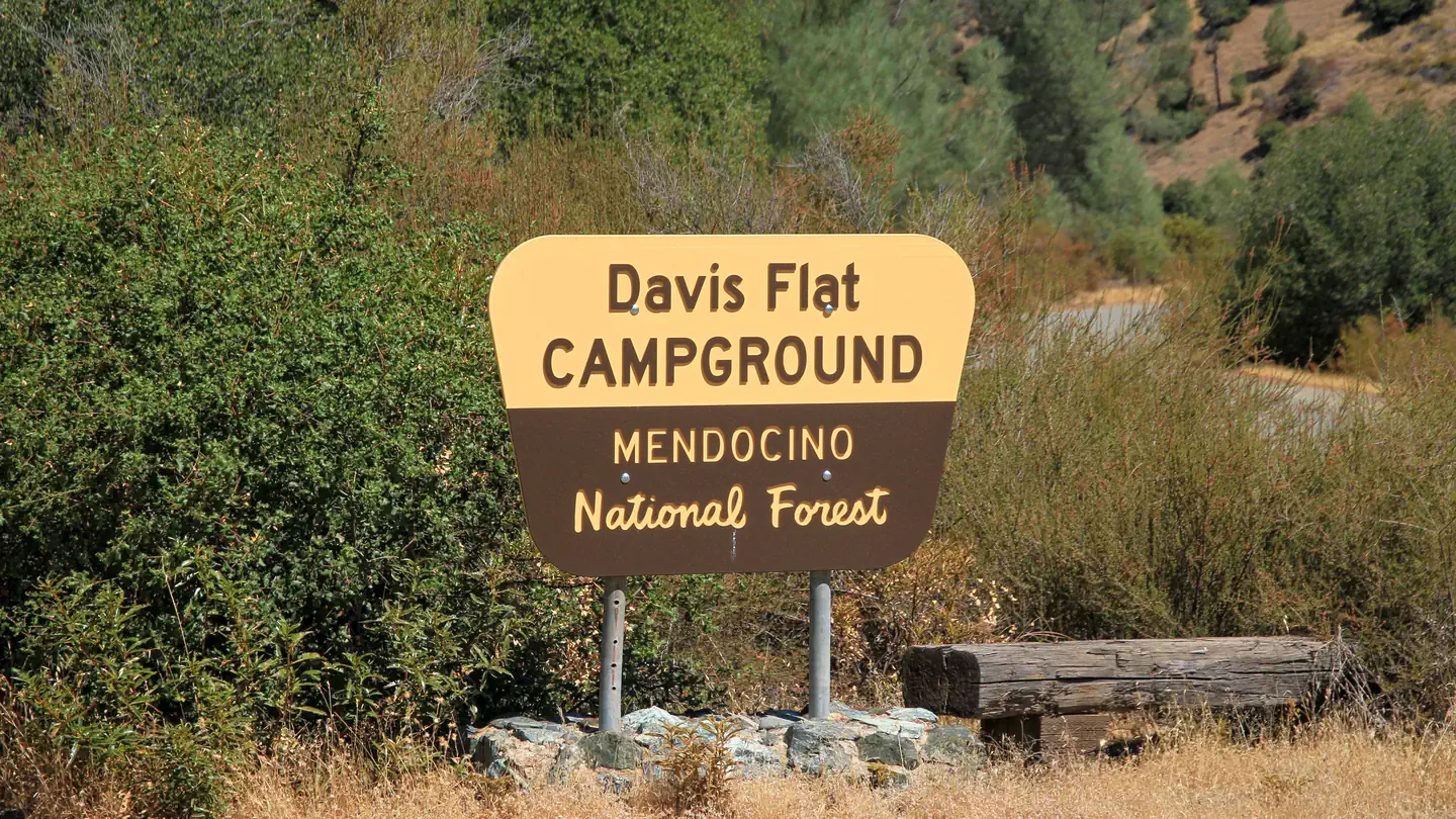 Davis FlatCampground · 1 sites
Overview This location is available on a first-come, first-served basis only. Visitors are required to physically arrive at the campground to purchase and…
- Davy Brown TrailheadFacility · not watchable
The Davy Brown Trailhead is located approximately 13 miles from the time one turns onto Figueroa Mountain Road off of Highway 154.
- Deadman CampgroundCampground · not watchable
Deadman Campground is situated along the banks of the Stanislaus River, one mile from Highway 108 on the Kennedy Meadow Road.
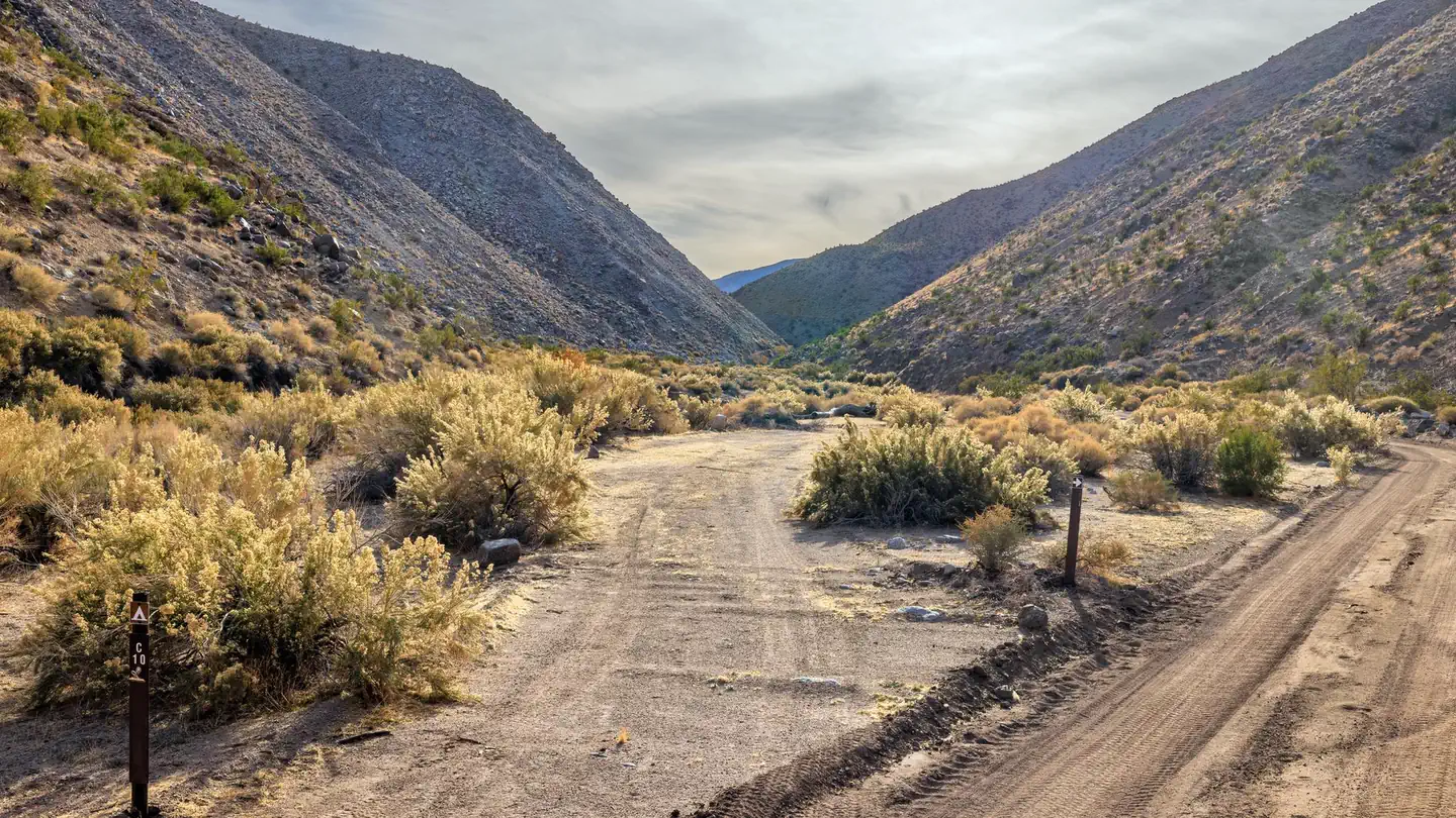 Death Valley Backcountry Roadside CampingCampground · 46 sites
Overview PLEASE BE AWARE: These are primitive sites that do not offer water, electricity, toilet access, or any amenities. Most primitive roadside campsites…
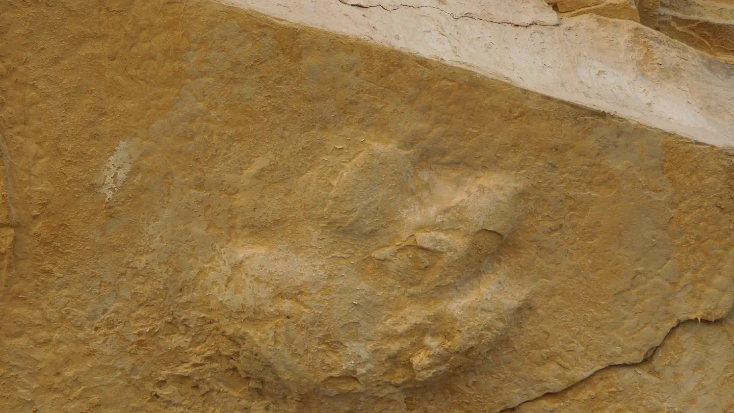 Death Valley National Park Ranger ProgramsTickets
Within Death Valley National Park Paleontologists call it “The Barnyard,” a remote box canyon in an inhospitable desert where slabs of mud stone as big as…
- Deep CreekFacility · not watchable
Deep Creek is on the north slope of the San Bernadino Mountains about 60 miles east of Los Angeles.
- Deep Creek Hot SpringsFacility · not watchable
The landscape surrounding Deep Creek is unique in a southern California context, and its recreation opportunities are valued at the regional and national…
- Deer Cove TrailheadFacility · not watchable
The entrance to longest trail network in the Monarch Wilderness, the Deer Cove trailhead is found on the shoulder of Highway 180 approximately 1.5 miles east…
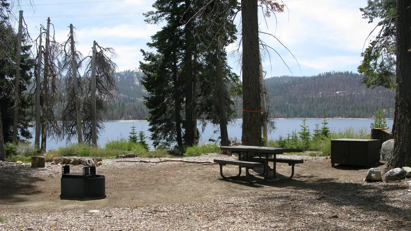 Deer CreekCampground · 28 sites
Overview Deer Creek Campground is located in California Sierra National Forest. The campground is tucked under dense fir and pines along the shore of…
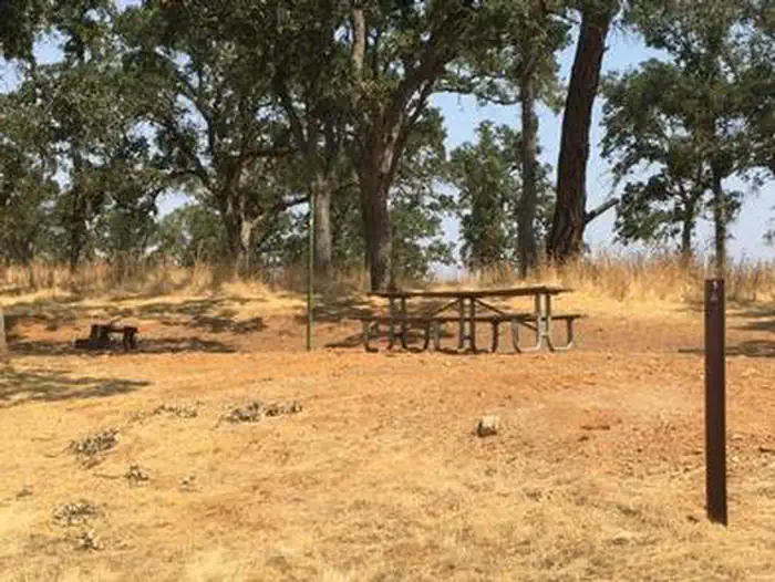 Deer Flat Boat in CampgroundCampground · 30 sites
Overview New Hogan Dam and Lake is located in the oak- and brush-covered foothills of the Sierra Nevada Mountains.
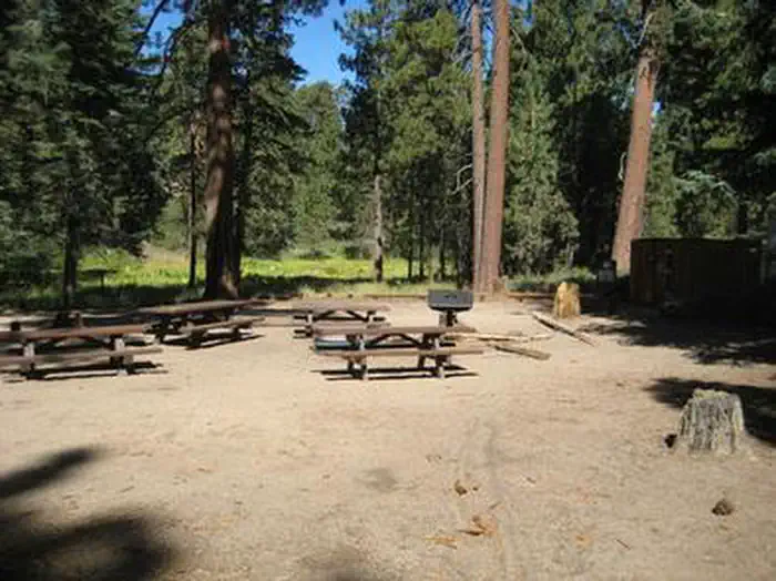 Deer Group CampCampground · 1 sites
Overview Deer Group Campground is a great place to bring an extended family or large group.
- Deer Meadow TrailheadFacility · not watchable
NOTE: This area was seriously affected by the 2015 Rough Fire. Due to safety concerns, the Monarch Wilderness will be closed to the public until further…
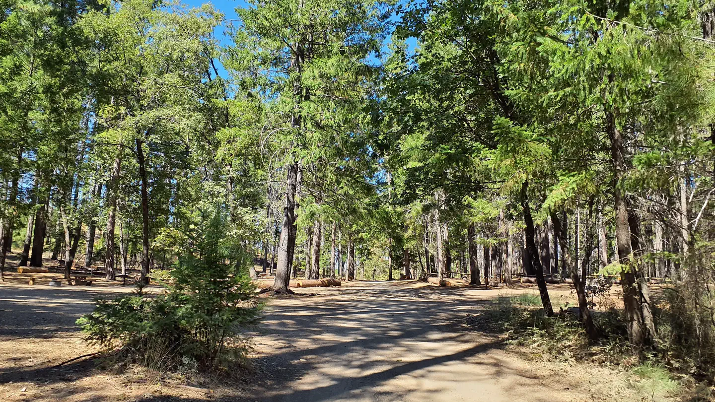 Deer Valley CampgroundCampground · 7 sites
Overview This location is available on a first-come, first-served basis only. Visitors are required to physically arrive at the campground to purchase and…
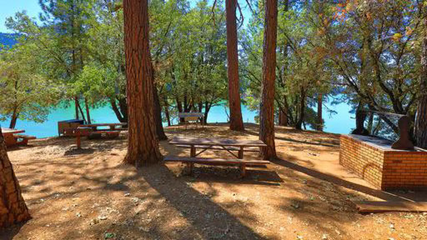 Dekkas RockCampground · 1 sites
Overview Dekkas Rock Campground provides scenic views of the mountainous shoreline from the McCloud Arm of Lake Shasta.
- Dekkas Rock Day Use AreaFacility · not watchable
The Dekkas Rock Day Use and Picnic area is located on Gilman Road about 11 miles east of Interstate 5 on Gilman Road between the Hirz Bay Campground and the…
- Delilah LookoutFacility · not watchable
Delilah Lookout is a fire lookout tower located within the Hume Lake Ranger District in Sequoia National Forest.
- Desert View Picnic SiteFacility · not watchable
Desert View Picnic Site Pets Allowed Yes Fees Adventure Pass Required Hike/Ride Time Full day Difficulty Easy Best Seasons Fall, Spring, Winter Location…
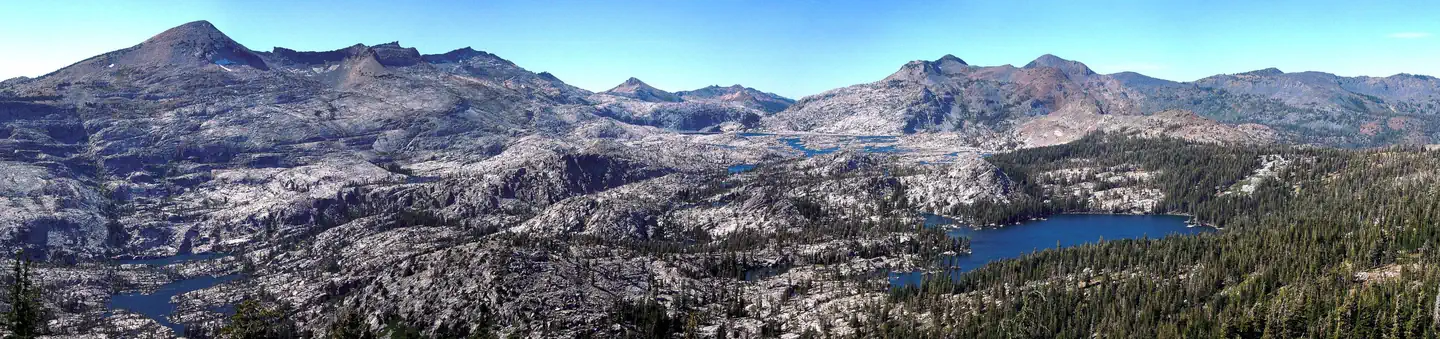 Desolation Wilderness PermitPermit
Overview: With numerous alpine lakes, scenic waterfalls and towering granite peaks, Desolation Wilderness is a perfect location for a summer trip.
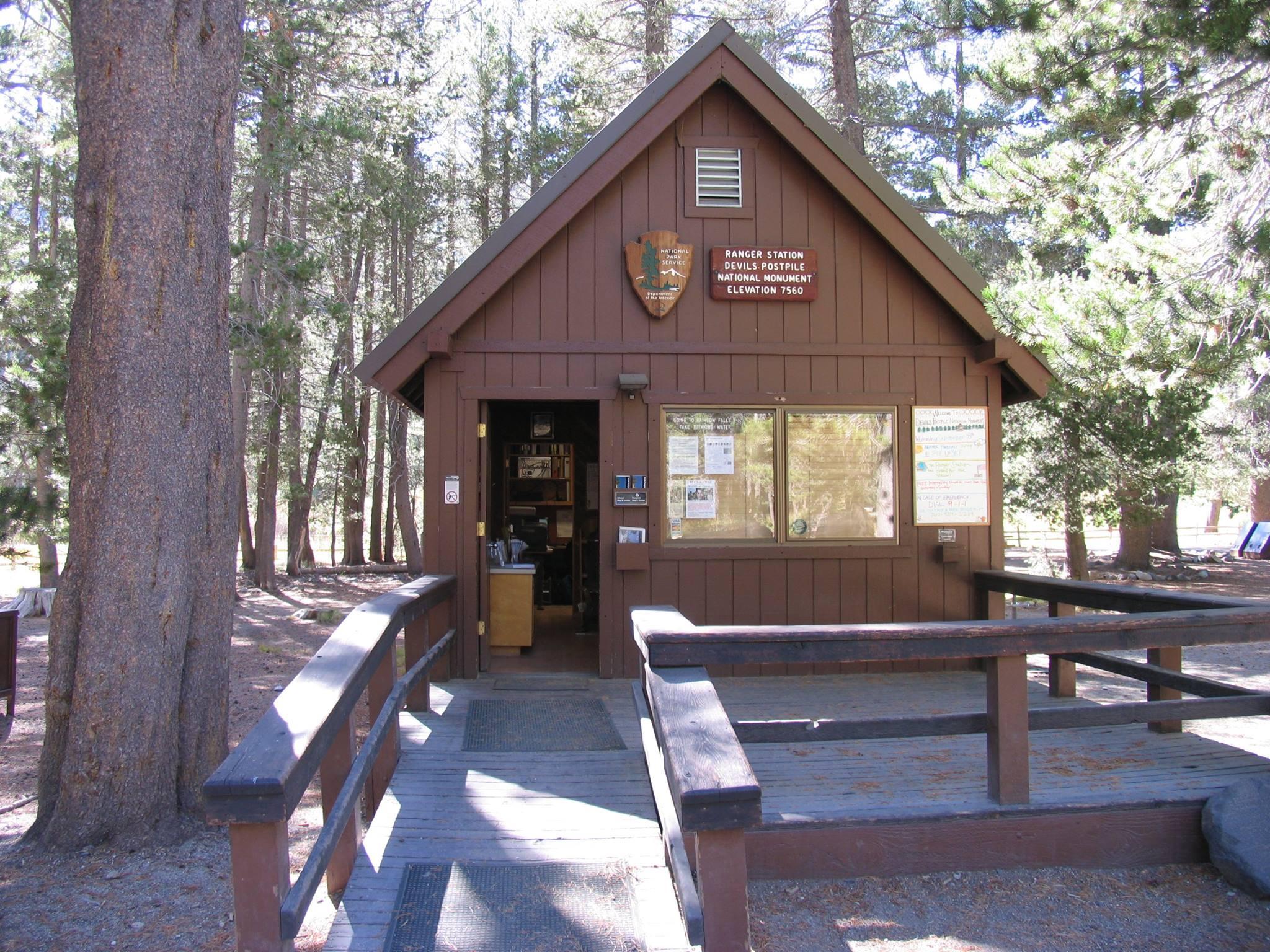 Devils Postpile Ranger StationFacility · not watchable
The Devils Postpile Ranger Station is open daily from 9 am - 5 pm during the operating season which is typically mid-June to mid-October.
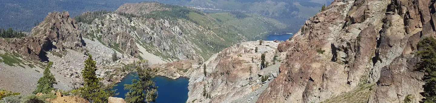 DiabloCampground · 19 sites
Overview Diablo Campground is located in the Packer Lake area near the Sierra Buttes, in northern California.
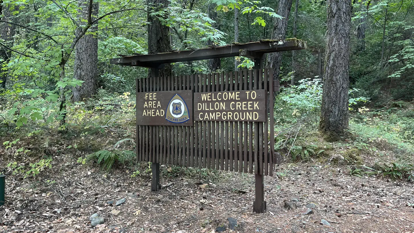 Dillon Creek CampgroundCampground · 27 sites
Overview Open mid-May through mid-October. Campsite List calendar starts at the next available reservation dates.
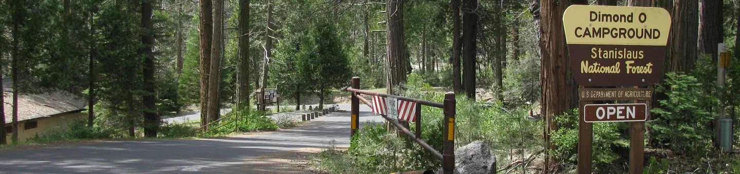 Dimond OCampground · 26 sites
Overview Dimond O is ideally located closest to Yosemite National Park's Big Oak Flat entrance and Hetch Hetchy.
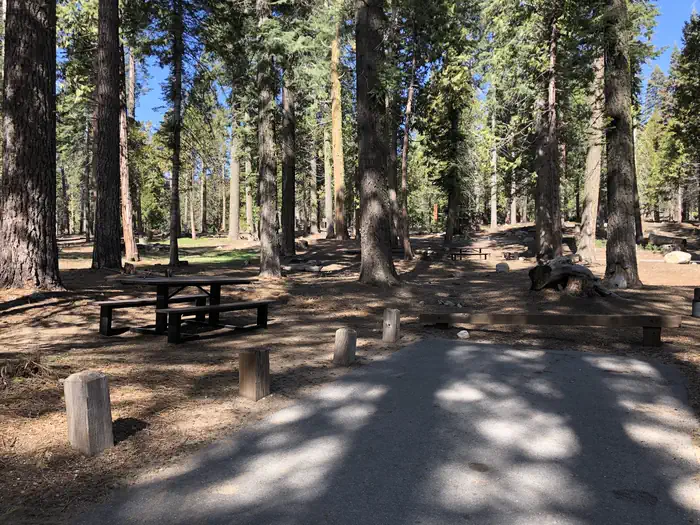 Dinkey CreekCampground · 123 sites
Overview Dinkey Creek is spread out along the banks of its namesake creek in a thick forest of Ponderosa pines and cedars.
- Dinkey Fisherman Picnic SiteFacility · not watchable
Located on the east side of Dinkey Creek. Picnic site is located on large sandy flat above Dinkey Creek. Good shade provide from cedar and pine trees.
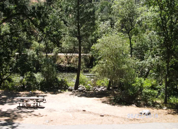 Dirt FlatCampground · 7 sites
Overview Dirt Flat campground is situated on the north side of the Merced River. This small camp features walk-in tent sites on the river.
- Divide Peak OHV TrailheadFacility · not watchable
Offers views of Santa Barbara coastline, Upper Santa Ynez Valley and San Rafael Mountains.
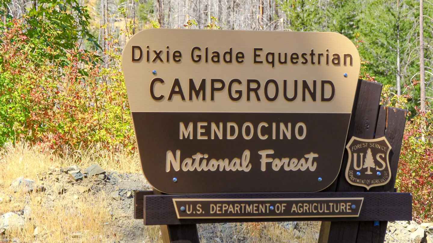 Dixie Glade CampgroundCampground · 7 sites
Overview This location is available on a first-come, first-served basis only. Visitors are required to physically arrive at the campground to purchase and…
- Dixie Glade CampgroundCampground · not watchable
This campground is located on Forest Road M10, just above the Fouts Springs OHV area. There are 7 sites with tables and grills. Corrals and hitching post are…
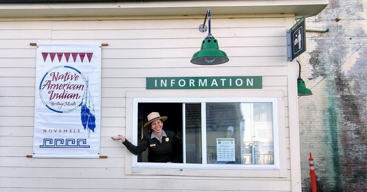 Dock Ranger StationFacility · not watchable
The ranger station at the Alcatraz Island Dock is staffed at all times. Staff here can help you with directions, information, Special Ranger and Junior Ranger…
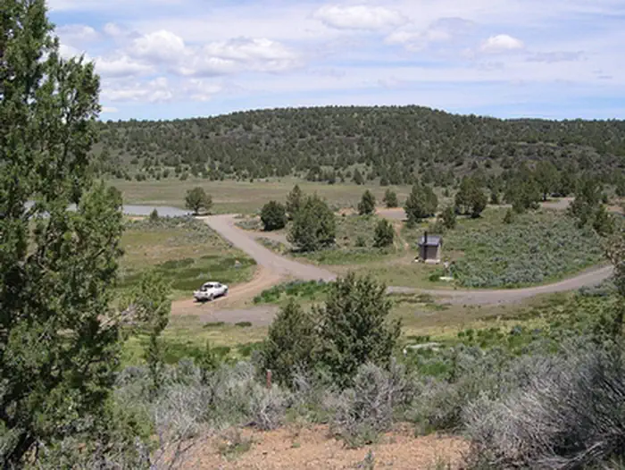 Dodge Reservoir CampgroundCampground · not watchable
Dodge Reservoir, located approximately 17 miles northeast of Ravendale, California, is a 480 acre water impoundment that was constructed in 1937 by the Dodge…
- Doe Flat TrailheadFacility · not watchable
4.25 miles Easy/moderate Trailhead elevation: 4500' Trail end elevation: 3200' Driving time: 1.2 hours Trailhead access from the Smith River NRA Visitor…
 DogwoodCampground · 88 sites
Overview Dogwood Campground is a family-friendly facility located in the heart of the San Bernardino National Forest.
- Dolan's Bar River AccessFacility · not watchable
Located approximately one and a half miles upriver from Orleans, this site offers river access for motorized and non-motorized boaters and anglers.
- Domeland WildernessFacility · not watchable
The Domeland Wilderness is known for its many granite domes and unique geologic formations.
- Donnell ReservoirFacility · not watchable
Donnell Reservoir is located in a steep rocky canyon of the Middle Fork Stanislaus River approximately 5 miles upstream from Beardsley Reservoir, 7 miles…
- Donnell VistaFacility · not watchable
A ¼ mile paved trail with signs along the way, leads to an overlook with sweeping views of the Middle Fork Stanislaus River Canyon, and Donnell Reservoir.We…
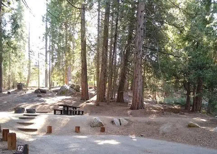 Dorabelle CampgroundCampground · 64 sites
Overview Dorabelle Campground is a popular family camping destination above Shaver Lake.
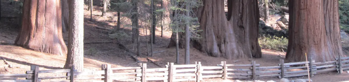 Dorst Creek Campground-Sequoia and Kings Canyon National ParkCampground · 204 sites
Overview Dorst Creek Campground is located in the breathtaking Sequoia and Kings Canyon National Parks in central California's rugged Sierra Nevada range.
- Dough Flat TrailheadFacility · not watchable
Open in Spring, Summer and Fall and is within the Winter Seasonal Closure between approximately December 15th – April 30th.
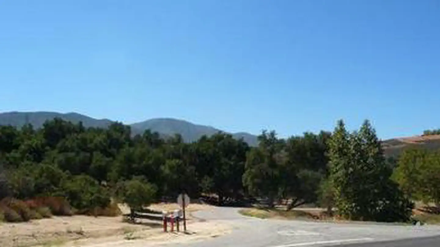 Dripping Springs Campground (Ca)Campground · 33 sites
Overview Dripping Springs campground is a wonderful campground adjacent to the Agua Tibia Wilderness.
- Dripping Springs TrailheadFacility · not watchable
Dripping Springs Trailhead Distance 10 - 30 miles depending on trail connections Pets Allowed Yes Fees Adventure Pass Fee Required Hike/Ride Time Full day…
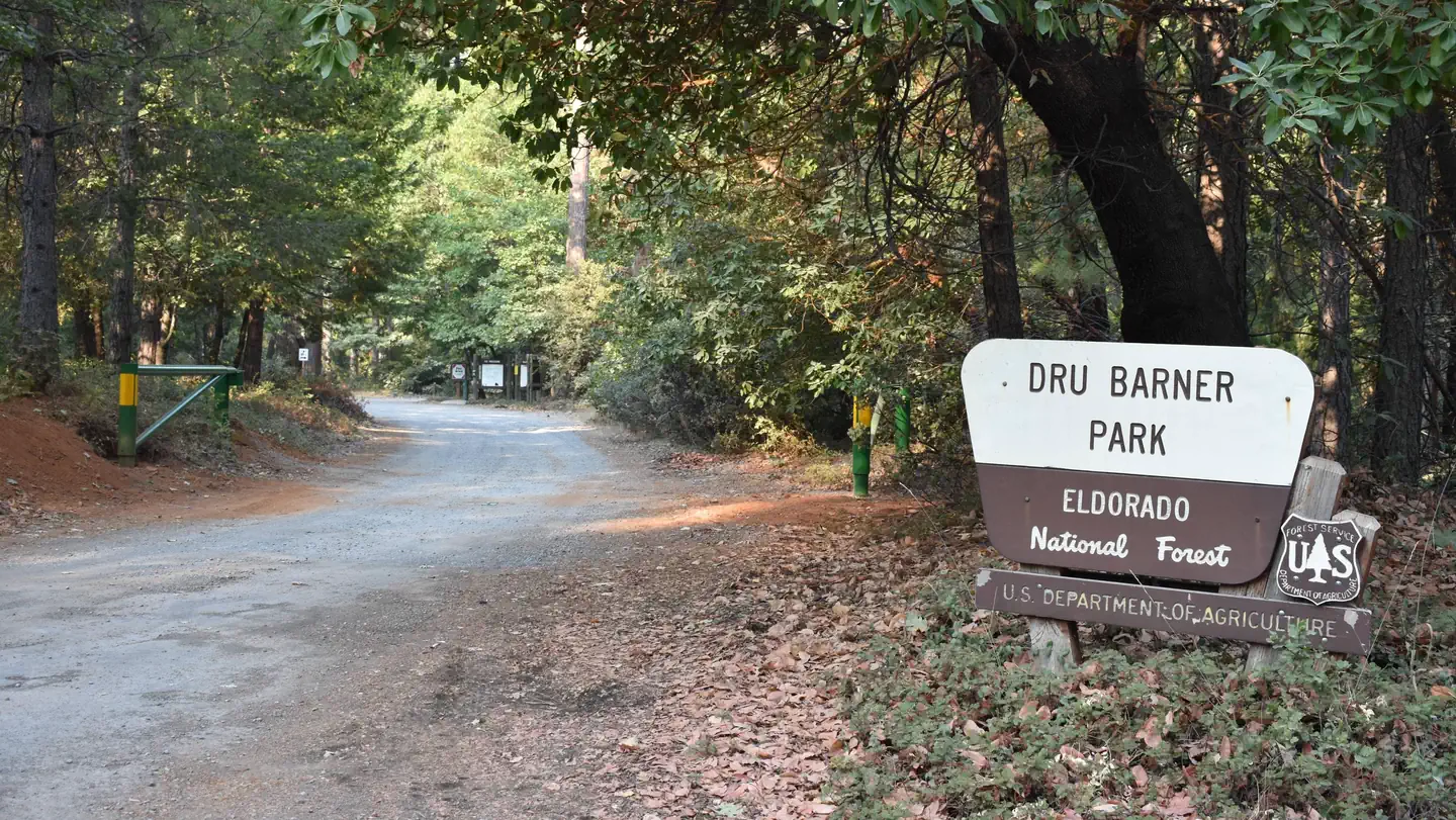 Dru Barner CampgroundCampground · 49 sites
Overview Dru Barner Campground offers 48 campsites that are nestled in the forest just 6 miles from Georgetown, CA.
- Dru Barner CampgroundCampground · not watchable
The campground is ideal for equestrian use, with four water troughs, several pull through spaces, and access to trails.
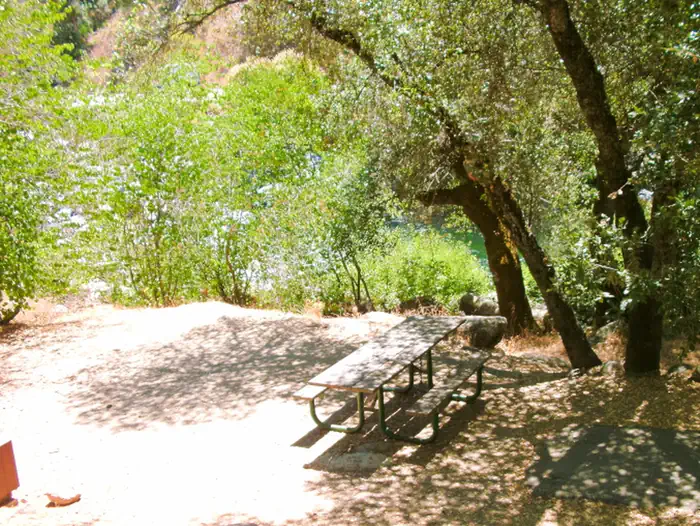 Dry GulchCampground · 5 sites
Overview Dry Gulch Campground sits on the north side of the Merced River. The small camp features walk-in tent sites on the river, shaded by a grove of pine…
- Dry LakeFacility · not watchable
Dry Lake, encompassing 3.25 acres, lies in a quiet setting of willow, alder, oaks, firs, and myrtles (bay). The lake is currently stocked with rainbow trout.
- Duncan South Boating SiteFacility · not watchable
This is a primitive area without facilities. The boat ramp is gravel and dirt. There is parking for boat trailers and room for turn around.
- E-Ne-Nuck CampgroundCampground · not watchable
A popular spot for fishing enthusiasts alike, this small campground offers 10 campsites for those desiring to stay at a prime location to get their catch.
- Eagle Lake Ranger DistrictFacility · not watchable
The second largest natural lake in California, Eagle Lake is framed by pine and sage.
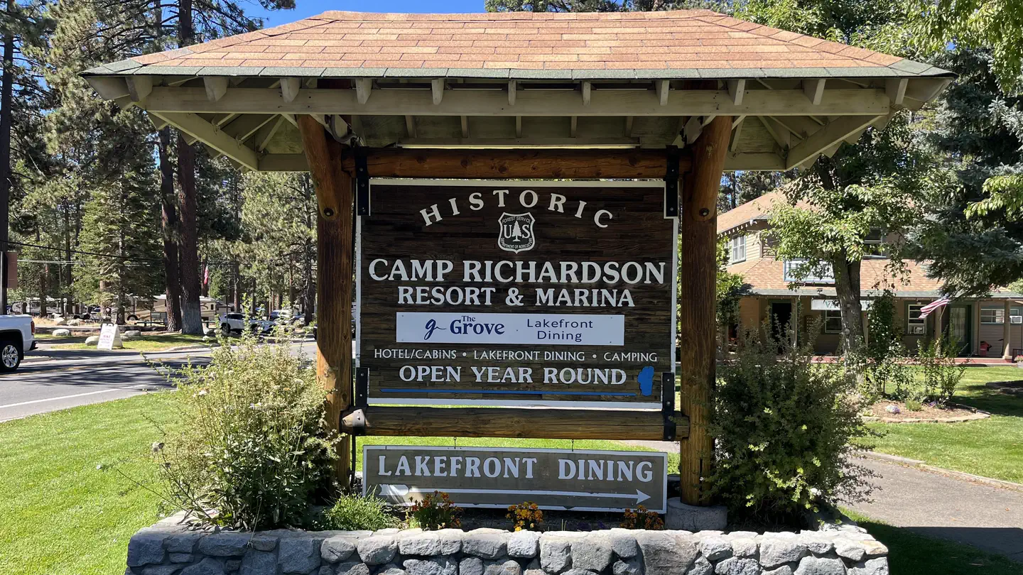 Eagles Nest at Camp Richardson ResortCampground · 31 sites
Overview Eagles Nest Campground provides a Lake Tahoe and Camp Richardson Resort experience unlike any other.
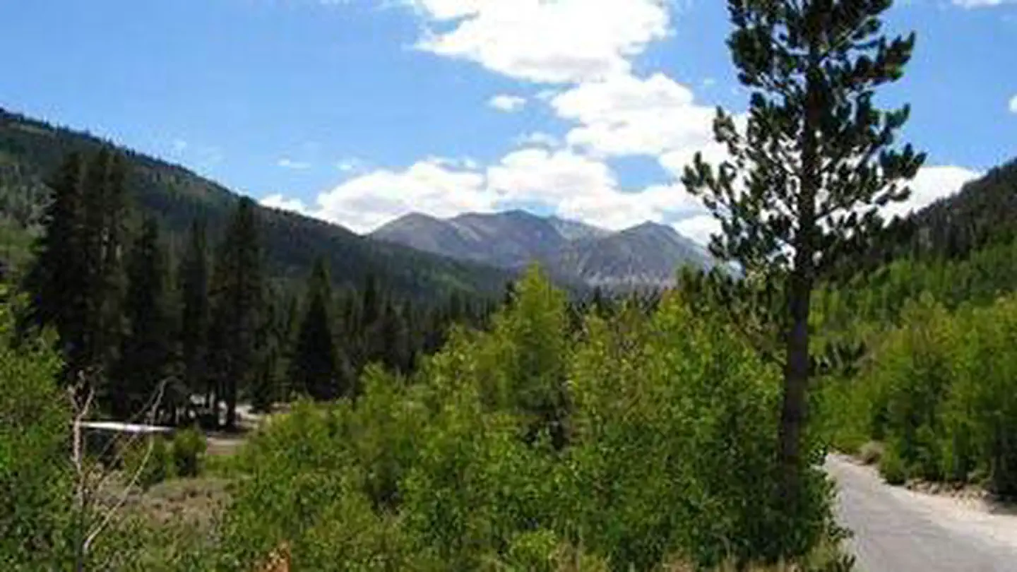 East Fork Campground – Inyo National Forest (CA)Campground · 71 sites
Overview East Fork Canyon is in a beautiful wooded section of Rock Creek Canyon, near Lower Rock Creek.
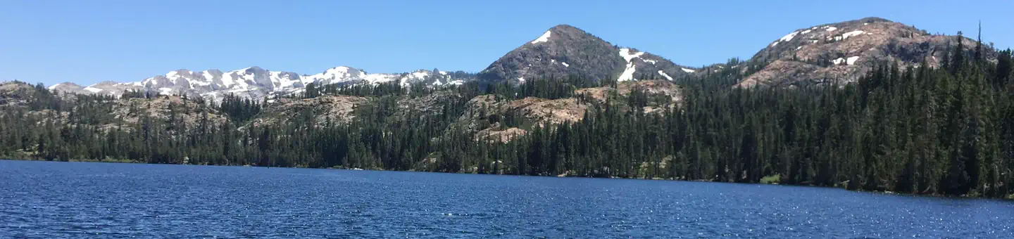 East Meadow CampgroundCampground · 44 sites
Overview East Meadow Campground is located alongside the scenic Jackson Meadow Reservoir, in the Tahoe National Forest.
- East Tumamait Trailhead - 21W03Facility · not watchable
The East Tumamait Trailhead (elev. 8800 ft.) is located on the top of Mt. Pinos at the west end of Forest Service Road 9N24.
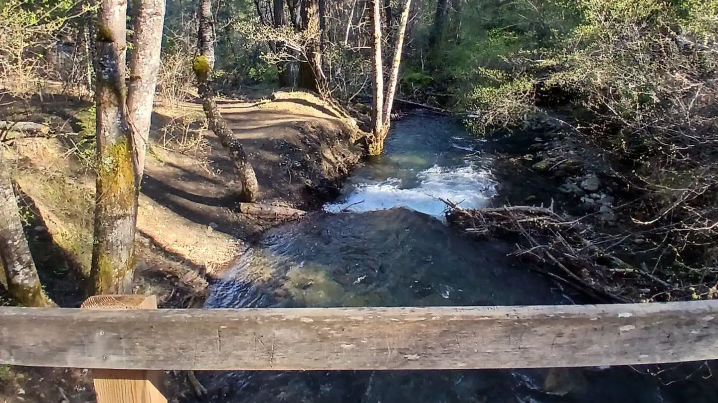 East Weaver Group CampgroundCampground · 1 sites
Overview This is a rustic campground with plenty of trees located in the Weaverville area at the end of East Weaver Road, on the banks of East Weaver Creek.
- Eastwood Visitor Information SiteFacility · not watchable
Operated By: USDA Forest Service-Sierra National Forest Directions: Take Hwy 168 east from Clovis to Shaver Lake. Continue thru Shaver Lake to Huntington Lake.
- El Cariso North Picnic SiteFacility · not watchable
***EL CARISO NORTH PICNIC AREA WILL BE CLOSED FROM SEPT 20 TO OCT 31 FOR MAINTENANCE. FOR MORE INFORMATION,…
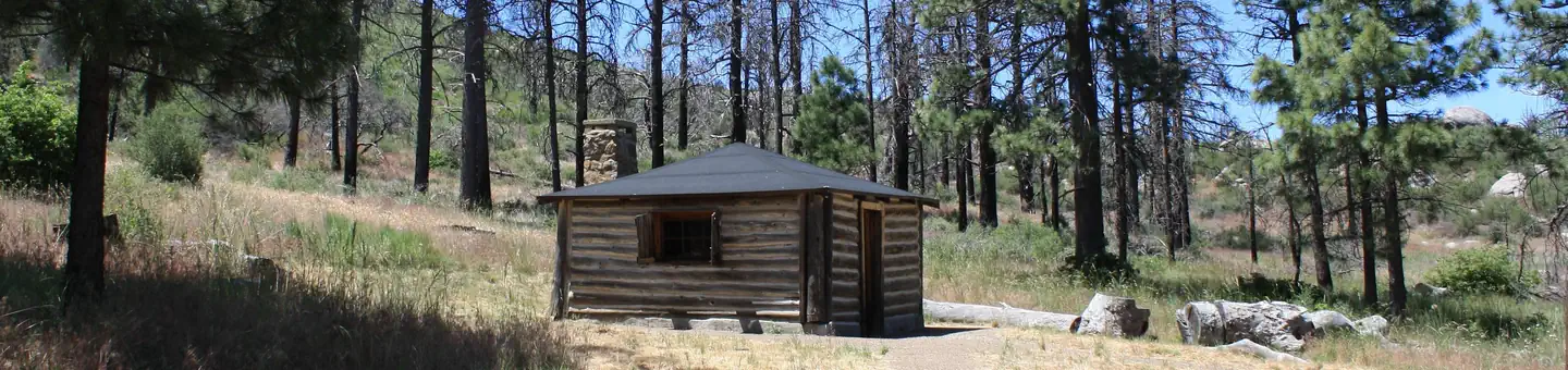 El Prado GroupCampground · 5 sites
Overview El Prado Group Campground is a great mountain getaway just one hour east of San Diego, California in the Laguna Mountain Recreation Area.
- Elk Camp Ridge (#2E04)Facility · not watchable
Originally a pack train trail between Crescent City, CA and the gold mines of the Illinois Valley in Oregon, this scenic trail presents panoramic views of high…
 Elk Prairie Campground - Prairie Creek Redwoods State ParkFacility · not watchable
Enjoy ancient coast redwoods, grazing Roosevelt elk and black-tailed deer in Elk Prairie, easy access to over 70 miles of hiking and biking trails, and…
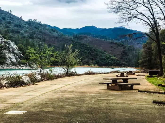 Ellery CreekCampground · 19 sites
Overview Ellery Creek is located on the McCloud Arm of Shasta Lake. The campground is terraced, providing views of the lake from all of the lower sites and…
- Elliot Ranch OHV Road 3N22Facility · not watchable
Elliot Ranch OHV Road 3N22 runs from State Highway 138 to Cleghorn OHV Road 2N47 and is about one mile in length.
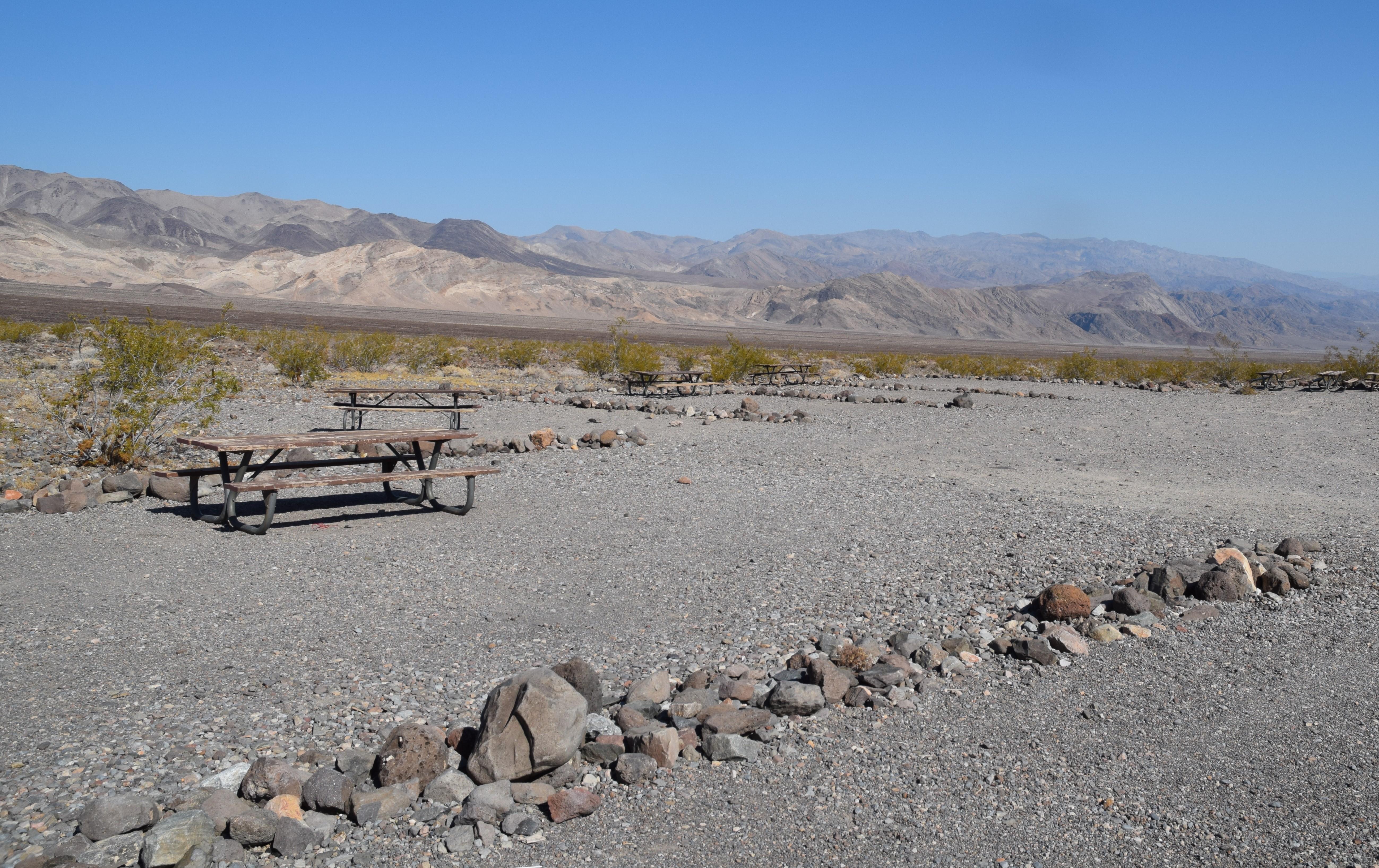 Emigrant CampgroundCampground · not watchable
The campground, water system, and restrooms at Emigrant have been closed since late August 2025 due to flood damage.
 Emigrant GroupCampground · 4 sites
Overview Emigrant Group Campground is located alongside the beautiful Stampede Reservoir.
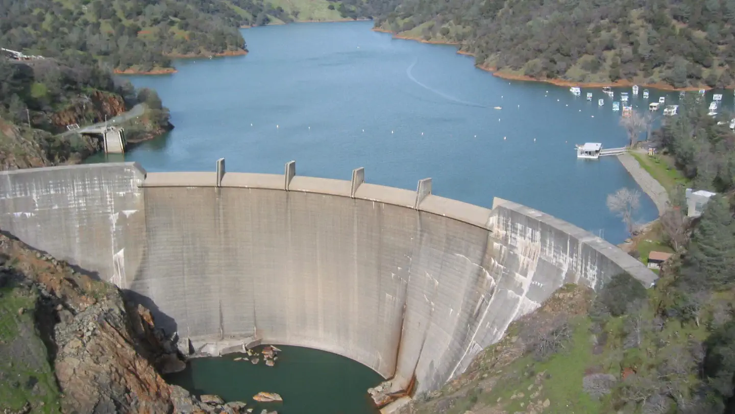 Englebright Lake Boat-In CampgroundCampground · 51 sites
Overview Englebright Lake is nestled in the steep Yuba River canyon, of the Sierra Nevada foothills.
- Equestrian CampgroundCampground · not watchable
Nestled by large oak trees and located near the Nuckahee Learning center, the Equestrian Campground offers a large parking area for trailers, and corrals…
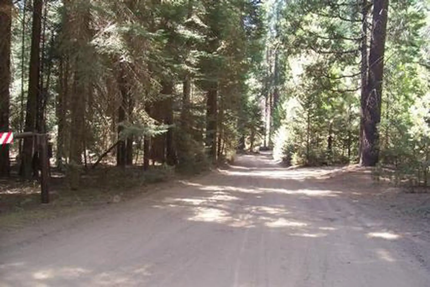 Eshom CampgroundCampground · 17 sites
Overview Located in the Giant Sequoia National Monument at 4,800 feet in elevation, this facility is nestled among Ponderosa pine, Cedar,Giant sequoia and…
- Eshom Point OHV Staging AreaFacility · not watchable
Eshom Staging Area, also known as Eshom Point is currently open to Off-Highway Vehicle Use. Please remeber to follow posted rules and regulations.
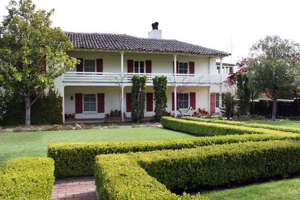 Eugene O'Neill National Historic SiteFacility · not watchable
The visitor center is part of the Eugene O'Neill NHS. Due to the location and nature of the park, the visitor center is accessible as part of a reservations…
- Eureka Valley CampgroundCampground · not watchable
Eureka Valley Campground is situated along the banks of the Stanislaus River. It is located 26 miles east of the Summit Ranger Station on Highway 108.
- Evans Flat CampgroundCampground · not watchable
6100-foot elevation. 20 campsites with fenced pastures and corrals for horses. A network of roads and trails covers the area. Access from Rancheria Rd.
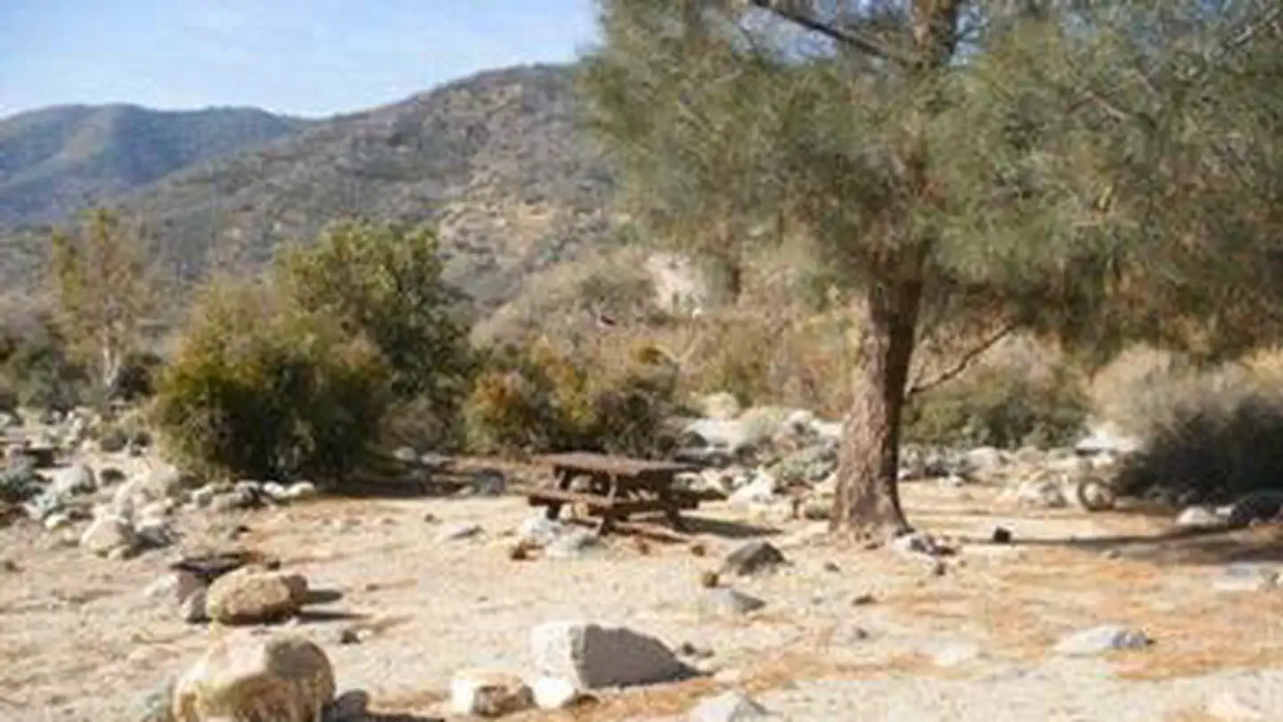 Fairview CampgroundCampground · 54 sites
Overview Fairview Campground sits in an area dotted with oak and gray pine along the Upper Kern River, a designated Wild and Scenic River, at an elevation of…
- Falcon GroupCampground · 3 sites
Overview Falcon Group Campground has three individual group campsites just off the scenic Ortega Highway in Southern California, which connects San Juan…
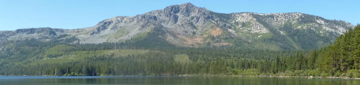 Fallen Leaf CampgroundCampground · 204 sites
Overview Fallen Leaf Campground is situated on the north shore of Fallen Leaf Lake and adjacent to Taylor Creek.
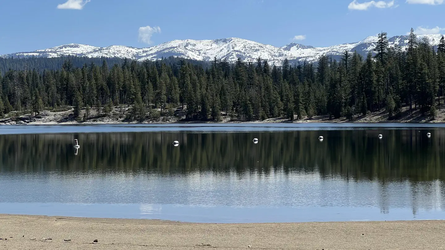 FashodaCampground · 30 sites
Overview Fashoda Campground, located on a peninsula of the eastern side of Union Valley Reservoir, is an incredibly scenic place to camp.
- Faucherie Group CampgroundFacility · not watchable
Faucherie Group Campground is a spectacular site at the edge of Faucherie Lake surrounded by rocky cliffs and boulders. There are two 25 person units with…
 FawnCampground · 2 sites
Overview Located on the Stuart Fork Arm of Trinity Lake, Fawn Group Campground is the most popular group site in the area.
- Fawnskin Picnic AreaFacility · not watchable
Open for Day Use at Fawnskin Picnic Area. Camping is available in Loops A, B and C (36 sites).
- Fence Creek CampgroundCampground · not watchable
Fence Creek Campground situated in a mixed conifer forest high above the Clark Fork of the Stanislaus River.
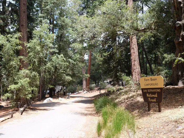 Fern BasinCampground · 15 sites
Overview The picturesque Fern Basin Campground is a perfect escape from a busy lifestyle.
 Fiddle CreekCampground · 15 sites
Overview Fiddle Creek Campground is located alongside the North Yuba River, just off Highway 49, about 12 miles from Downieville.
- Figueroa OHV Recreation AreaFacility · not watchable
Catway 29W02 - This route loops around Figueroa Mountain where the trail can begin on Zaca Ridge Road or near Davy Brown Campground. More difficulty.
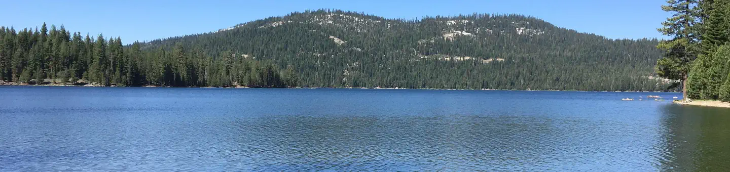 Findley CampgroundCampground · 14 sites
Overview Findley Campground is located alongside the scenic Jackson Meadow Reservoir in the Tahoe National Forest.
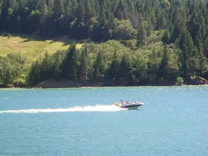 Fir Cove CampgroundCampground · 14 sites
Overview Fir Cove Campground is located on beautiful eastern shore of Ruth Lake, a 13,800-acre jewel situated in the thickly forested mountains of northern…
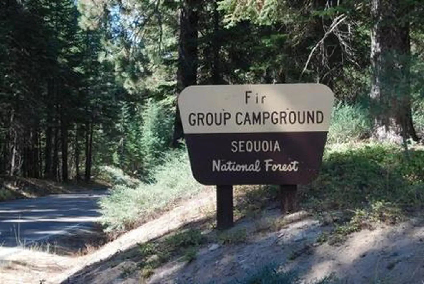 Fir GroupCampground · 1 sites
Overview Fir Group Campground sits near Hume Lake in the Sequoia National Forest, amidst pines and at an elevation of 5,250 feet.
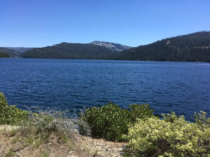 Fir Top CampgroundCampground · 12 sites
Overview Fir Top Campground is located alongside the scenic Jackson Meadow Reservoir, in the Tahoe National Forest.
- First Crossing Day Use Picnic AreaFacility · not watchable
The First Crossing Day Use Area is a 16 acre day use picnic site located off Paradise Road just before the first Santa Ynez River crossing ford.
- Fish Creek (Ca)Campground · 9 sites
Overview Fish Creek Campground remains closed due to the 2020 Creek Wildfire. Fish Creek Campground is a small, primitive camp offering standard and tent-only…
- Fish LakeFacility · not watchable
Fish Lake is located in the southwestern portion of the Orleans Ranger District. As one of the most popular recreational areas on the District, Fish Lake…
- Fish Lake Boating SiteFacility · not watchable
The boating site is accessed through the Fish Lake Campground and shares all the same amenities and facilities of the campground and Fish Lake Picnic Site.
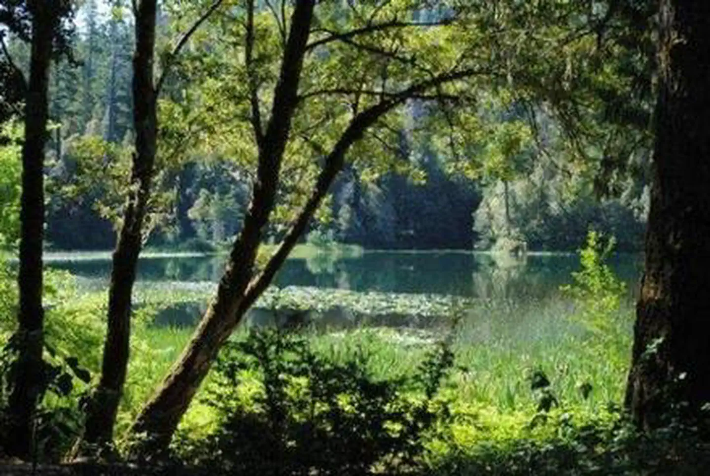 Fish Lake CampgroundCampground · 24 sites
Overview Open mid-June through September. Campsite list calender is for the next reservable dates.
- Fish Lake ResortFacility · not watchable
A truly beautiful setting in pristine old growth forest at the foot of Mt. McLoughlin (9,495 feet).
- Fishbowls Trailhead - 21W05Facility · not watchable
Open in Spring/Summer/Fall and is within the Winter seasonal closure between November 1st and April 30th Difficulty: easy to moderate Length: 7.9 miles SESPE…
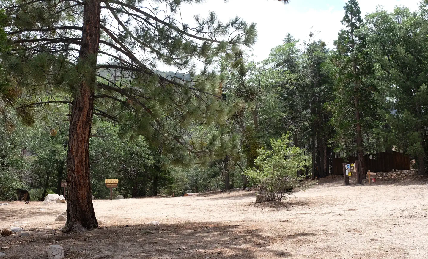 Fishermans GroupCampground · 4 sites
Overview This campground is Hike In only. Fisherman's Group Campground is a semi-primitive campground reached by a 2.5-mile hike into the mountains of southern…
- Fishermans Point Day Use AreaFacility · not watchable
The Fisherman's Point Day Use and Picnic area is located near Shasta Dam. Exit I-5 at Shasta Dam Boulevard.
- Fleming Trail System & TrailheadFacility · not watchable
Recreation Opportunity Guides (ROG) - These guides contains information, maps, and directions to assist you in enjoying your trip to the Eldorado National…
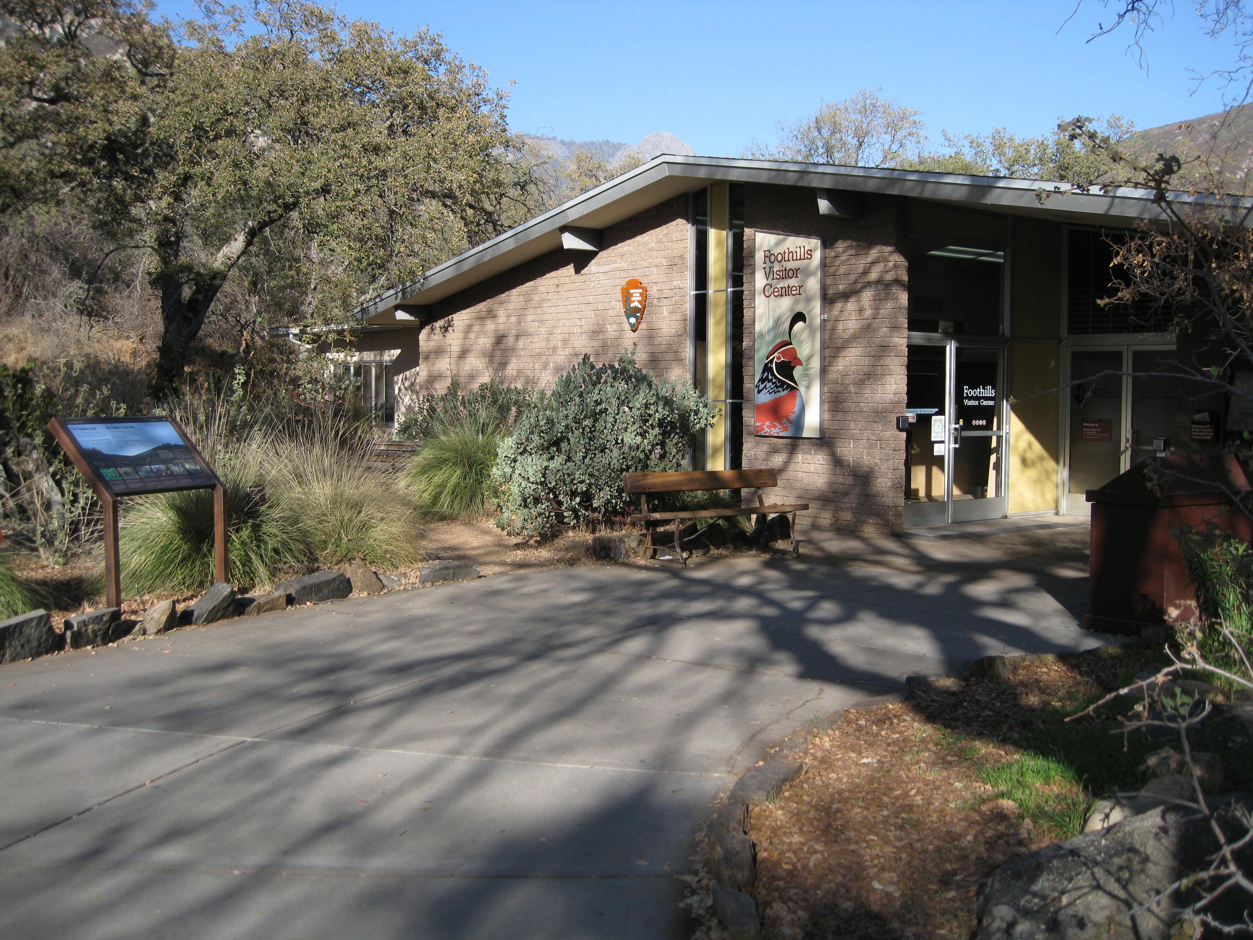 Foothills Visitor CenterFacility · not watchable
The Foothills Visitor Center is one mile east of the Ash Mountain Entrance on Generals Highway.
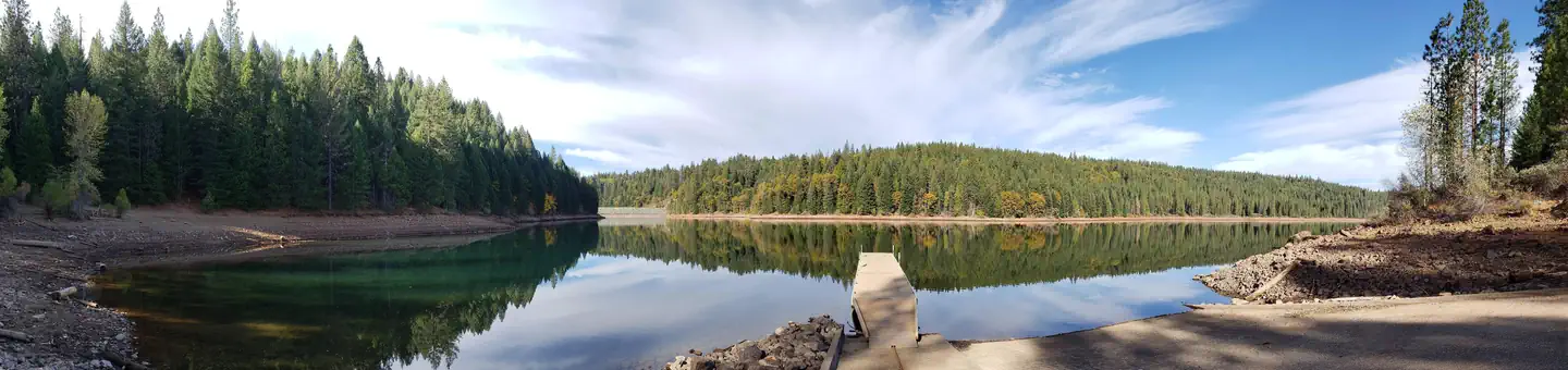 Forbes CreekCampground · 2 sites
Overview Forbes Creek Group Campground is located near the southeast shore of Sugar Pine Reservoir in the Tahoe National Forest.
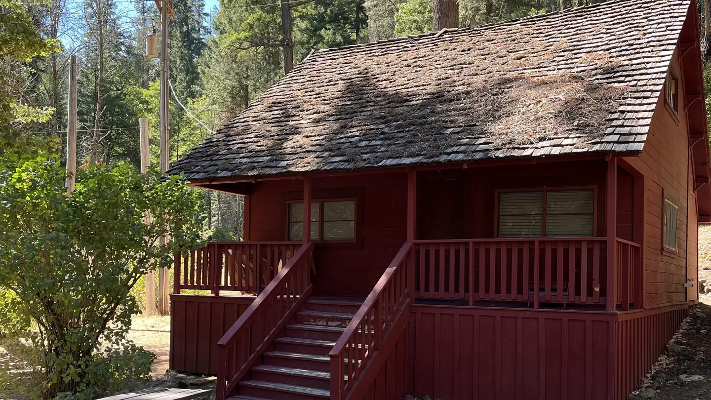 Forest Glen Guard StationCampground · 1 sites
Overview This historic guard station offers a unique stay in the oldest Forest Service building on the Shasta-Trinity National Forest.
- Foresthill Divide Driving Tour Interpretive SiteFacility · not watchable
The Foresthill Divide Road Driving Tour is a self-guided journey through the history of the Foresthill Divide.
- Foresthill Divide RoadFacility · not watchable
The recreation information for the Tahoe National Forest is primarily provided by travel corridor.
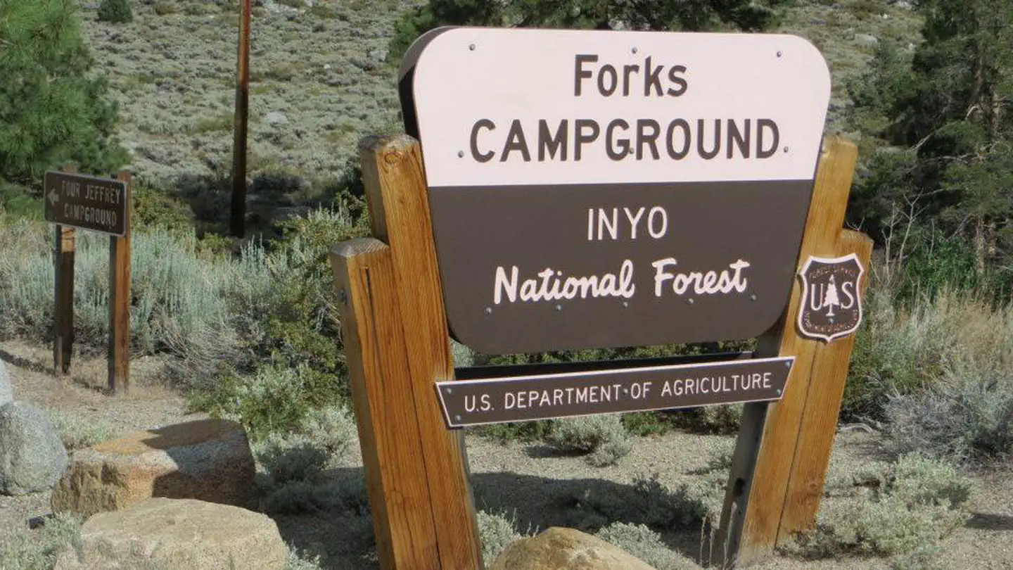 Forks Campground (Inyo)Campground · 26 sites
Overview Forks Campground is located near the junction of the South Fork and the Middle Fork of Bishop Creek.
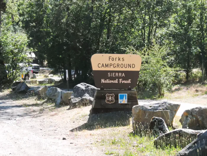 Forks Campground (Sierra)Campground · 26 sites
Overview Forks campground is located on a hillside overlooking Bass Lake. The camp is forested with cedar, ponderosa pine and oak trees and offers a few sites…
 Fort Point National Historic Site ToursTickets
From its vantage point overlooking the spectacular Golden Gate, Fort Point National Historic Site defended the San Francisco Bay following California's Gold…
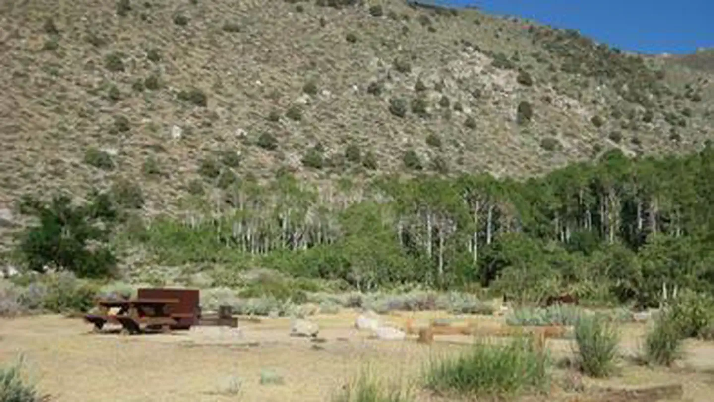 Four JeffreyCampground · 106 sites
Overview Four Jeffrey is a mostly shaded campground with gorgeous views of Table Mountain along the South Fork of Bishop Creek.
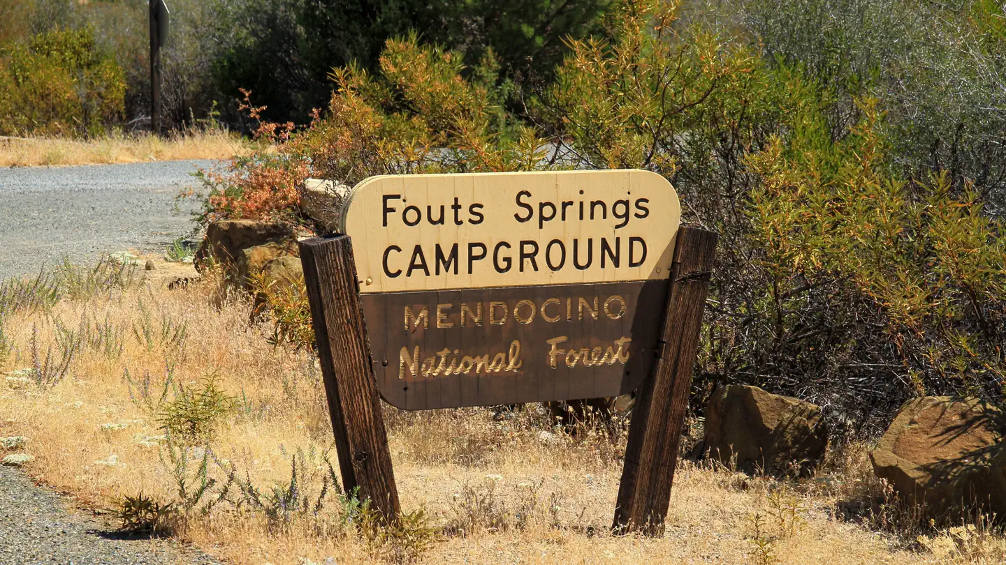 FoutsCampground · 1 sites
Overview This location is available on a first-come, first-served basis only. Visitors are required to physically arrive at the campground to purchase and…
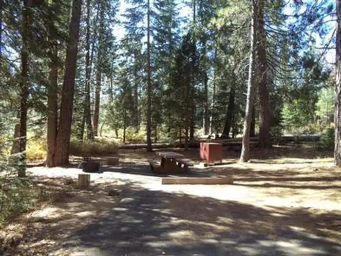 Fowlers CampgroundCampground · 36 sites
Overview Fowlers Campground is located on the Upper McCloud River five miles east of McCloud, California.
- Fraser Flat Fishing Pier Day UseFacility · not watchable
Fraser Flat Day Use Area - Day use sites include tables, restrooms and garbage service. 2 accessible fishing piers on the South Fork of the Stanislaus River.
- Frazier Mountain Trailhead - 20W03Facility · not watchable
Forest Development Road 20W03 is also known as OHV Trail 118 on the Mt Pinos Motor Vehicle Guide (OHV Map) Difficulty: easy Length: 6.0 miles Maps: 7.5 minute…
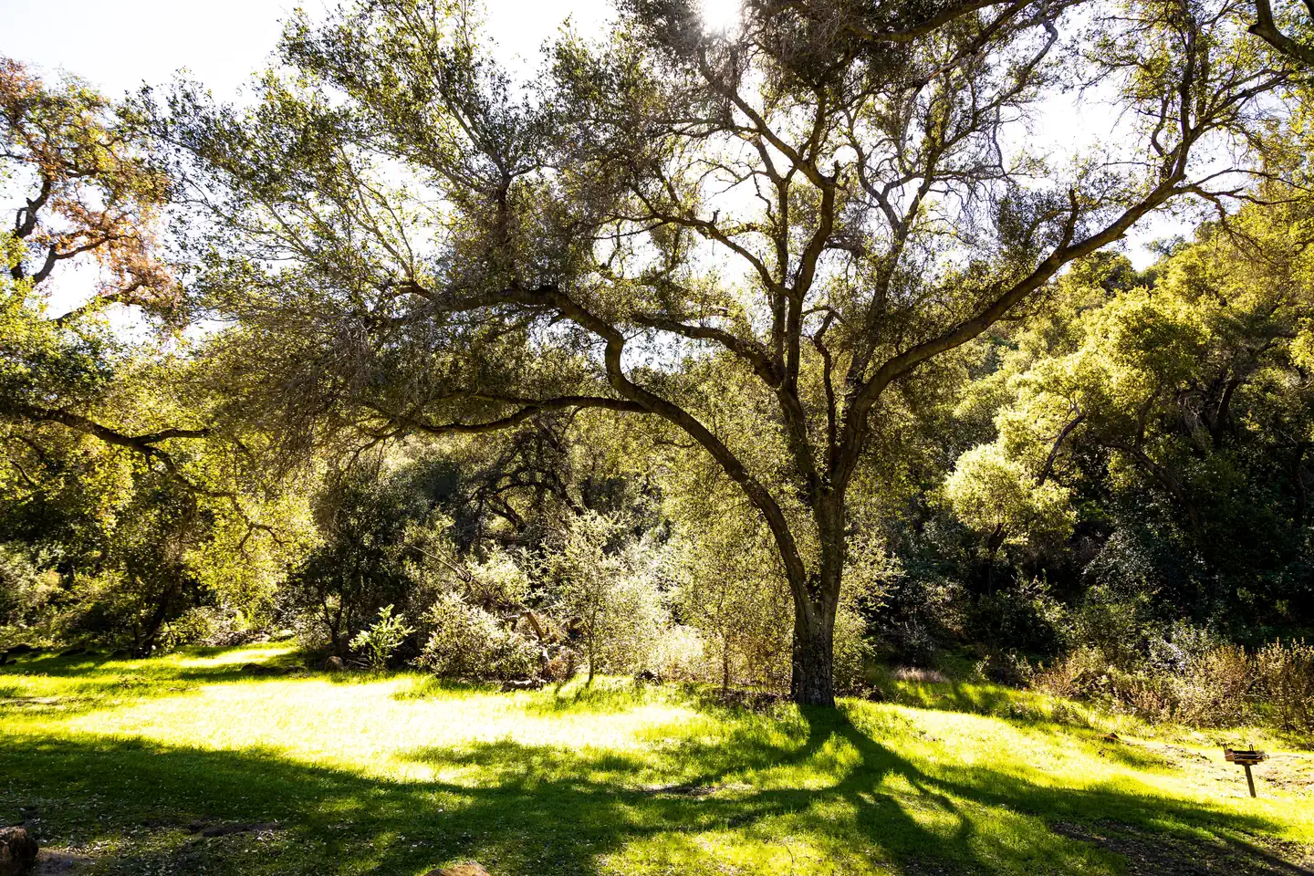 Fremont CampgroundCampground · 14 sites
Overview Fremont Campground is a family-friendly facility located just off California's western coast.
 French CampCampground · 83 sites
Overview French Camp lies in the Rock Creek area of the scenic Sierra Nevada Mountains, near Tom's Place and midway between Bishop and Mammoth Lakes,…
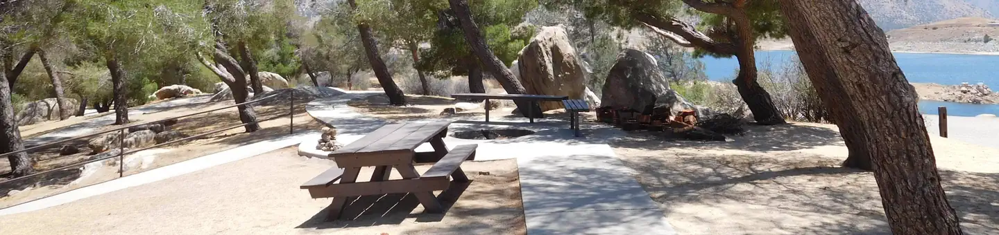 French GulchCampground · 1 sites
Overview French Gulch Campground sits 3 miles from the western shores of Lake Isabella, a 27-acre reservoir off the Kern River, in the expansive Sequoia…
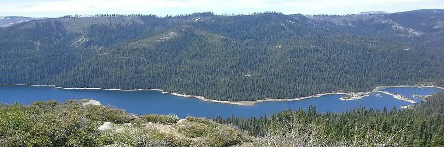 French MeadowsCampground · 61 sites
Overview French Meadows Campground is located along the shores French Meadows Reservoir, about 40 miles from the town of Foresthill.
- French Meadows ReservoirFacility · not watchable
4/27/2018: Mosquito Ridge Road is plowed to French Meadows but the road around the reservoir is not plowed.
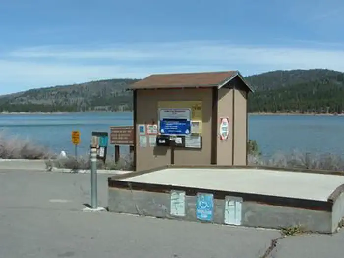 FrenchmanCampground · 38 sites
Overview Frenchman Campground (5,700 feet) sites along the shores of its namesake lake, which boasts 21 miles of shoreline.
- Frenchman's Flat Day Use AreaFacility · not watchable
The 2,200-acre Frenchman’s Flat standard amenity recreation fee area is a popular riparian area most well-known for the Wild and Scenic River designation, and…
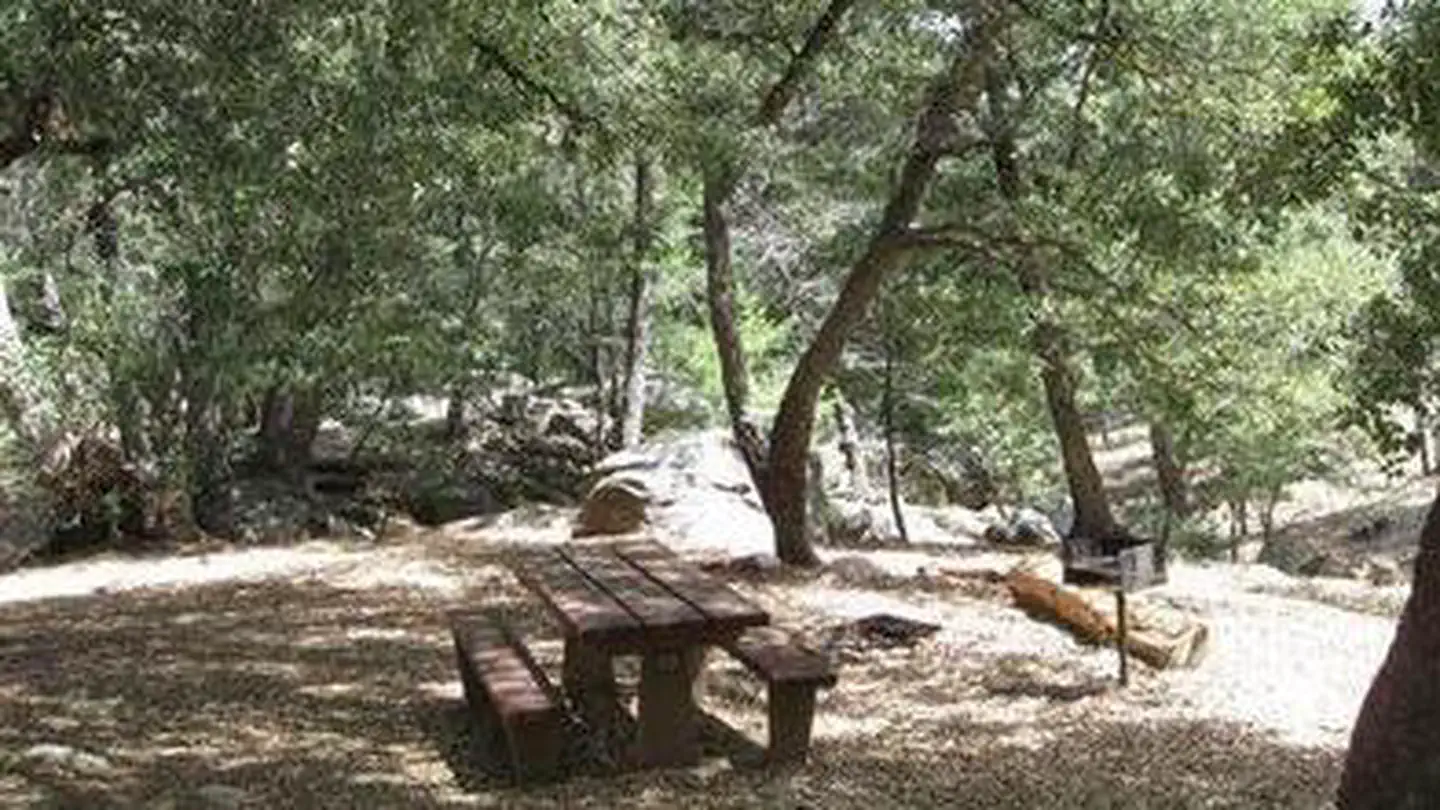 Fry Creek CampgroundCampground · 12 sites
Overview Fry Creek Campground is situated in the heart of Cleveland National Forest, uniquely located down the road from the world-famous Palomar Observatory.
- Fuller Mill Creek - National Wild & Scenic RiverFacility · not watchable
This 3.5 mile wild and scenic river system finds its source on the heights of San Jacinto Peak in the Mount San Jacinto State Game Preserve and Wilderness…
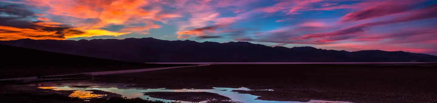 Furnace Creek CampgroundCampground · 129 sites
Overview Furnace Creek Campground is the only NPS campground in the park that is reservable.
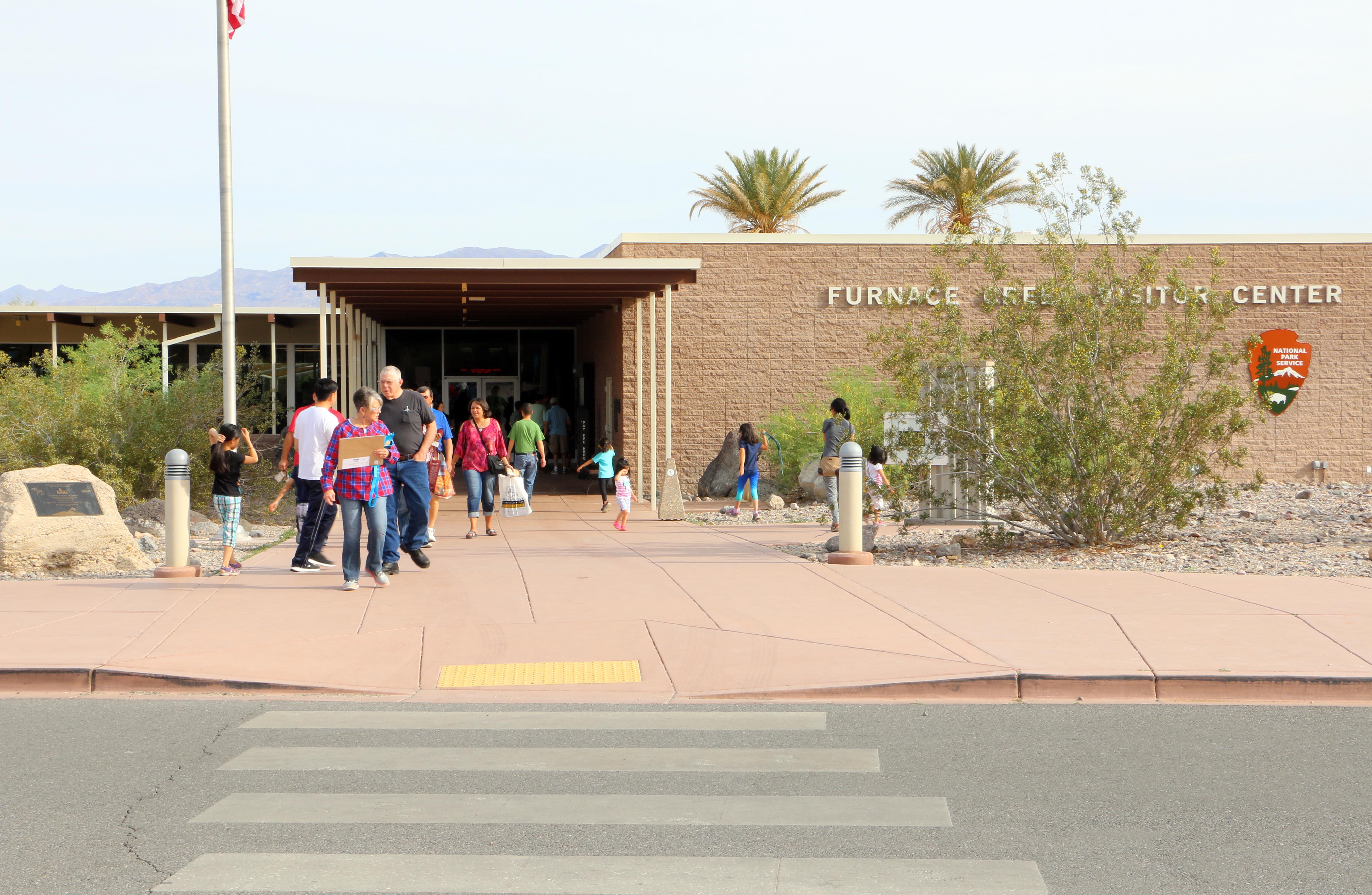 Furnace Creek Visitor CenterFacility · not watchable
Furnace Creek Visitor Center is the central hub for all things Death Valley. Here you can pay the park entrance fee, speak with a ranger about trip plans or…
- Gallatin MarinaFacility · not watchable
Located at Eagle Lake, the Gallatin Marina offers boat and fishing equipment rentals, open boat storage, slip rentals, boat fuel, showers, laundry, and fish…
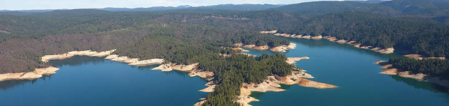 Garden Point Boat-in CampgroundCampground · 16 sites
Overview Bullards Bar Reservoir is located on the North Yuba River at an elevation of 2000 feet.
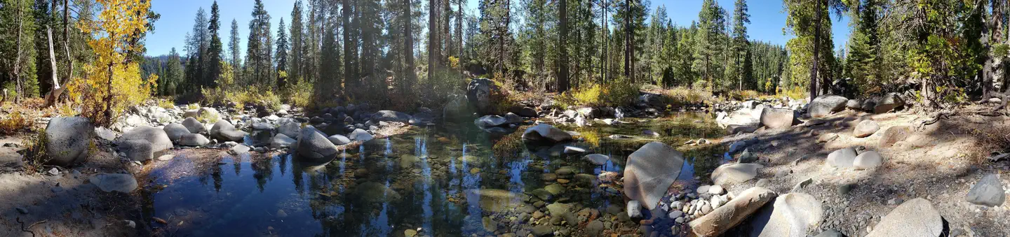 Gates GroupCampground · 3 sites
Overview Gates Group Campground is located on the North Fork American River, at the north end of the French Meadows Reservoir in the Tahoe National Forest.
- Gene Marshall-Piedra Blanca (Reyes Creek TH)Facility · not watchable
Gene Marshall-Piedra Blanca Reyes Creek Trail (22W03) Difficulty: moderate to difficult Length: 17.9 miles SESPE WILDERNESS - More information on the Sespe…
- General Campgrounds & TrailheadsCampground · not watchable
The Mendocino National Forest is one of 18 National Forests in California, and is nearly one million square acres in size.
- George Geary River AccessFacility · not watchable
This access to the Salmon River is designated Day Use Only, no overnight camping. It has a graded gravel ramp to a cobble bar for parking.
 Gerle CreekCampground · 50 sites
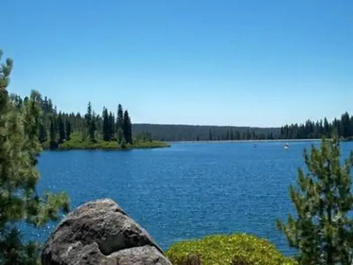
Overview Gerle Creek Campground is nestled on the banks of the Gerle Creek Fork among a lush forest of hardwoods.
 Giant Forest MuseumFacility · not watchable
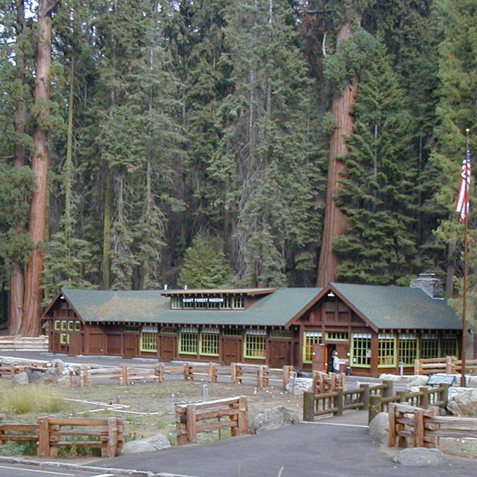
The Giant Forest Museum is in a historic market building in the Giant Forest sequoia grove at 6,500 feet (1,980 m), about 16 miles north of the Ash Mountain…
 Giant GapCampground · 27 sites
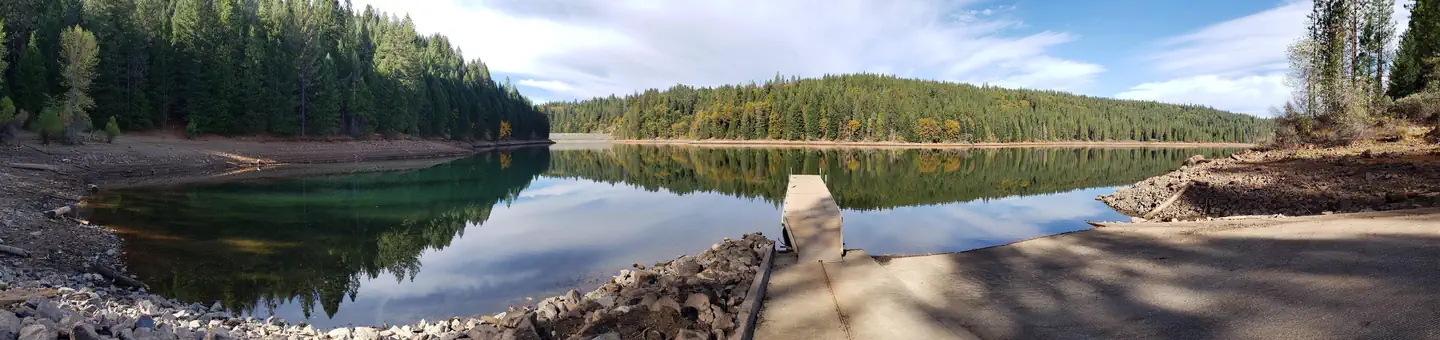
Overview Giant Gap Campground is located on the north shore of Sugar Pine Reservoir, in the Tahoe National Forest. It is just 15 miles from Foresthill.
- Gifford TrailheadFacility · not watchable
The site is located on Hwy #166 26 miles east of Santa Maria. This trail is currently within the Front Fire Closure area. No access.
- Gigantea CampgroundCampground · not watchable
Located half a mile from the McKinley Grove of Giant Sequoias, Gigantea Camground offers slightly more rustic camping. The area has some slopes and flat areas.
 Girard Ridge LookoutCampground · 1 sites
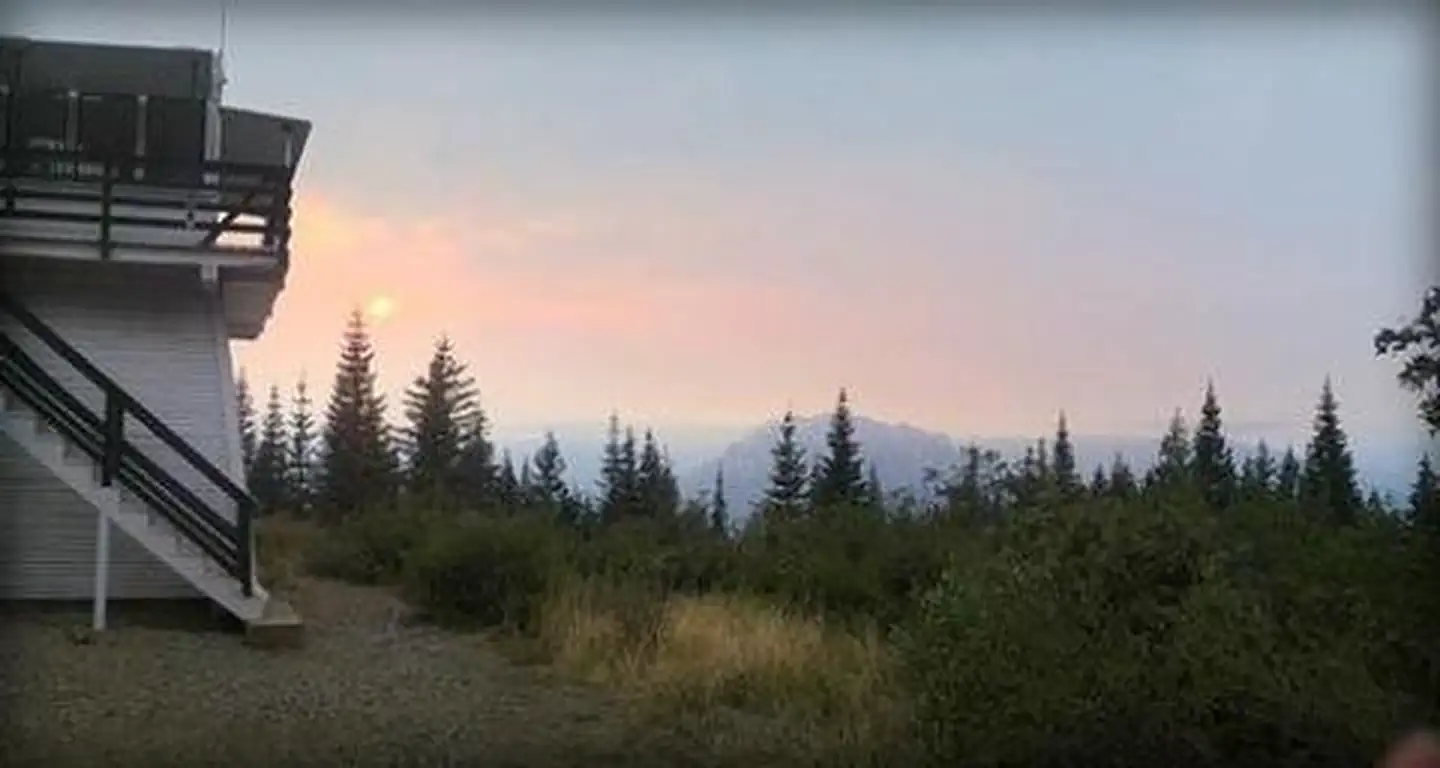
Overview Girard Ridge Lookout was constructed in 1931 and used by the Forest Service on a regular basis until 1981.
 Glory Hole Recreation AreaCampground · 143 sites
Overview Glory Hole Recreation Area is located at New Melones Lake on the Stanislaus River.
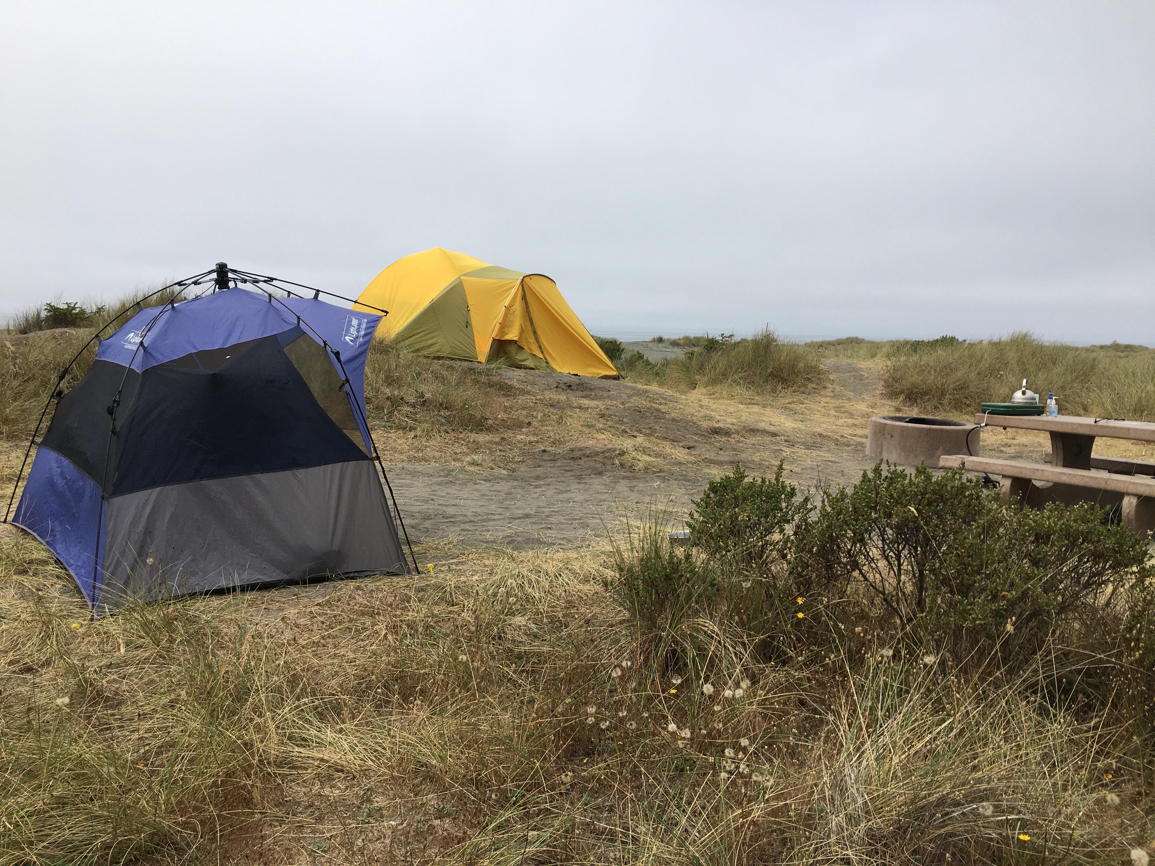 Gold Bluffs Beach Campground - Prairie Creek Redwoods State ParkCampground · not watchable
Experience the wild Pacific coastline and grazing Roosevelt elk in this campground, with easy access to a secluded stretch of beach, Fern Canyon, and 70 miles…
- Gold Fever Interpretive SiteFacility · not watchable
This is a self guided tour of the Holcomb Valley area, that highlights the rich gold mining history of the area.
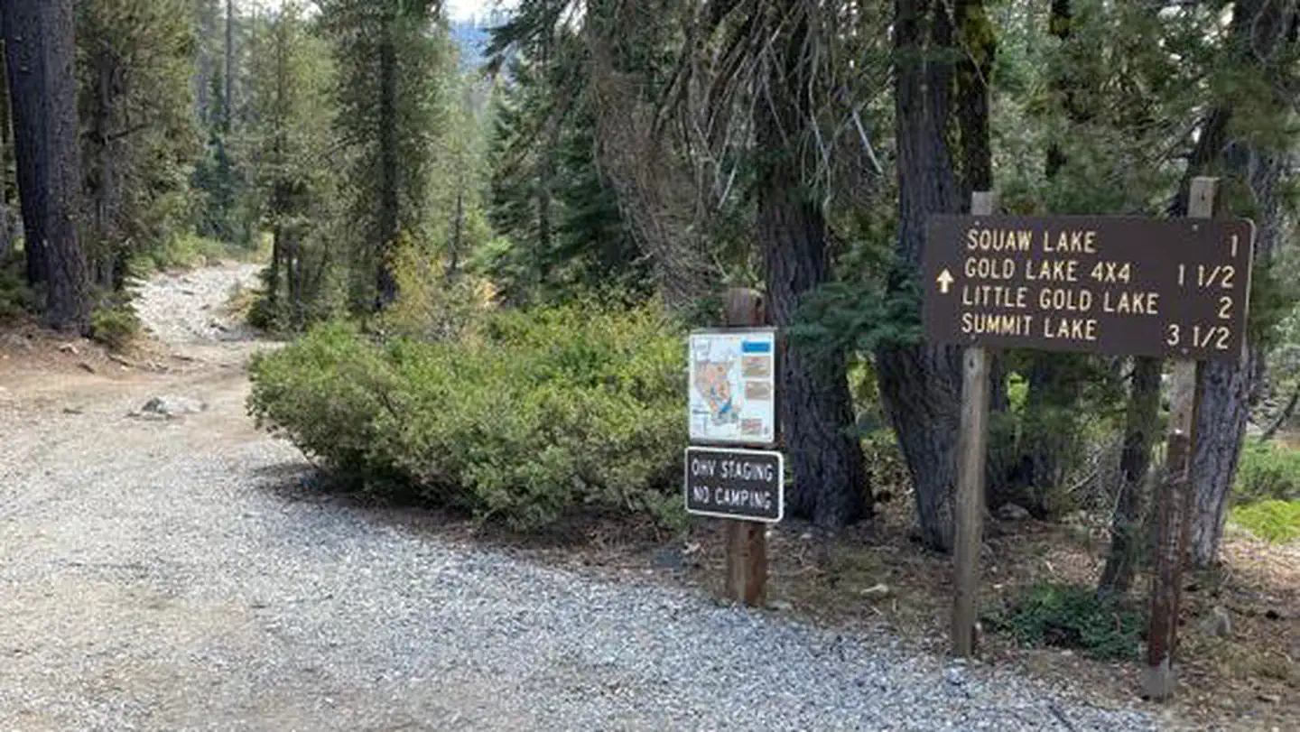 Gold Lake 4 X 4 CampgroundCampground · 13 sites
Overview Gold Lake 4x4 campground in northeast Plumas County, CA lies at 6,400 feet in elevation within the Plumas National Forest.
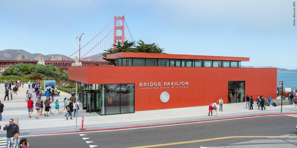 Golden Gate Bridge Welcome CenterFacility · not watchable
The plaza is the starting point for all your bridge-related adventures. From here, you can learn about the history of the bridge and its impact on the Bay Area…
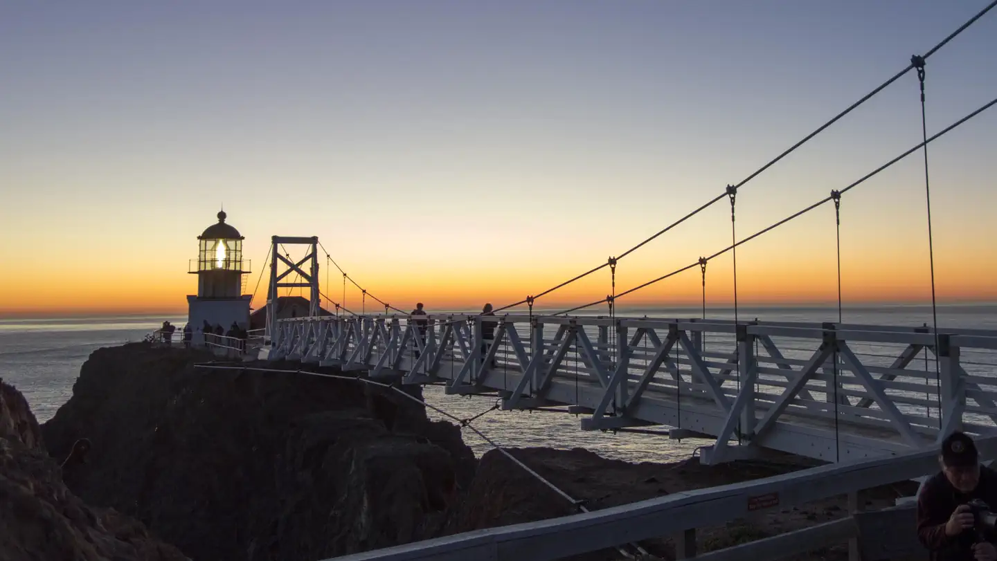 Golden Gate National Recreation Area ToursTickets
Perched at the southernmost tip of the Marin Headlands, the Point Bonita Lighthouse has marked the entrance to the Golden Gate since 1855.
- Golden Quartz Picnic SiteFacility · not watchable
Located on the South Fork of the Yuba River, five miles upstream from the town of Washington on a rough road.
- Goldhill Camping AreaFacility · not watchable
Goldhill Camping Area is an open camping location adjacent to Piru Creek at the base of Alamo Mountain. Recreational Vehicles up to 26 feet.
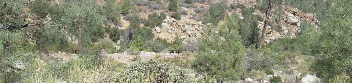 Goldledge CampgroundCampground · 36 sites
Overview Goldledge Campground is situated along the Kern River, 10 miles north of the town of Kernville.
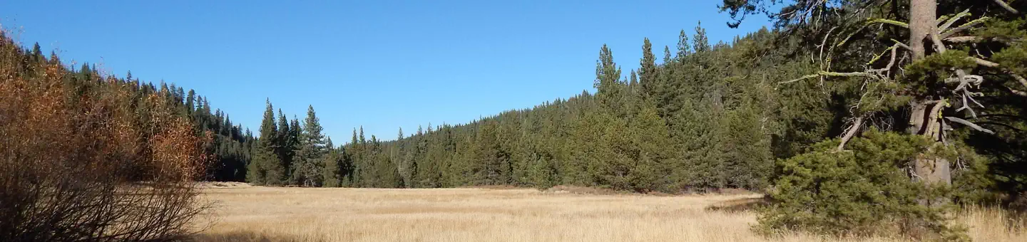 Goose MeadowsCampground · 24 sites
Overview Goose Meadow Campground is located along the Truckee River adjacent to Highway 89, about half-way between Tahoe City and Truckee.
- Gooseberry Cross-Country Ski TrailheadFacility · not watchable
The Summit Ranger District offers 25.5 miles of marked cross-country ski trails. The trails are of varying difficulty: from fairly level beginners trails, to…
- GoumazFacility · not watchable
Goumaz campground is between Highway 36 and 44 at the South end of Eagle Lake. There are 5 campsites located along Susan River and adjacent to the Bizz Johnson…
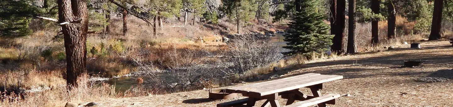 Granite Flat (California)Campground · 73 sites
Overview Granite Flat Campground is located between the Truckee River and Highway 89, just one mile from Truckee and a short distance from Tahoe City.
- Grapevine Canyon OHV Road 4N16Facility · not watchable
This 2 mile road travels from the junction of Coxey OHV Road 3N14 to the forest boundary in the north.
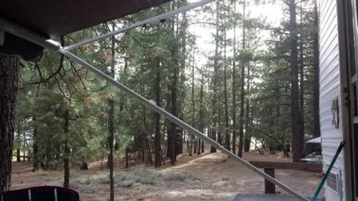 Grasshopper FlatCampground · 67 sites
Overview Grasshopper Flat Campground (5,886 feet) is one of three family campgrounds located in the Lake Davis Recreation Area.
- Grassy Flat CampgroundCampground · 19 sites
Overview Grassy Flat Campground borders California's northern Redwood Highway in the expansive Six Rivers National Forest.
- Grassy Hollow Visitor Center Interpretive SiteFacility · not watchable
For additional information on programs and activities available at the visitor center, follow the link.
- Gravel Flat Camping AreaFacility · not watchable
The campground is located along the north side of the Kings River on a large sandy flat area.
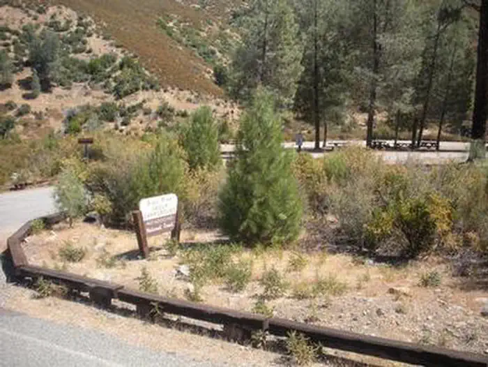 Gray Pine Group CampgroundCampground · 1 sites
Overview Perched 1,700 feet above sea level in the expanse of the Mendocino National Forest, the Gray Pine Group Camp is a beautiful recreation oasis for large…
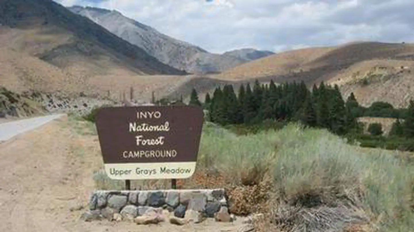 Grays MeadowsCampground · 31 sites
Overview Grays Meadows Campground is situated along Independence Creek in the Onion Valley area of the eastern Sierra Nevada Mountains.
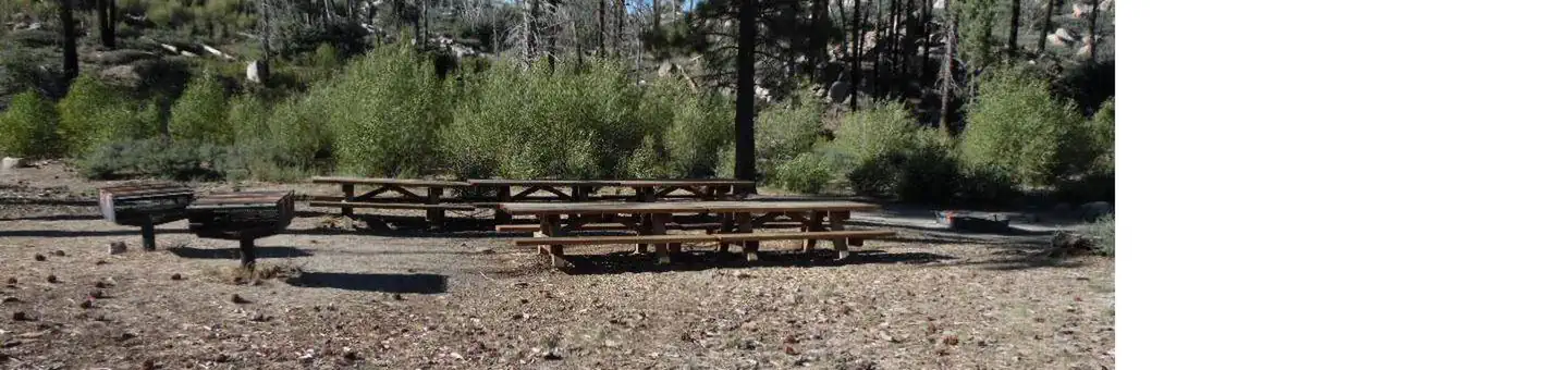 Grays Peak Group CampCampground · 1 sites
Overview Grays Peak Group Campground is conveniently located for campers to enjoy all that the Big Bear Lake area has to offer.
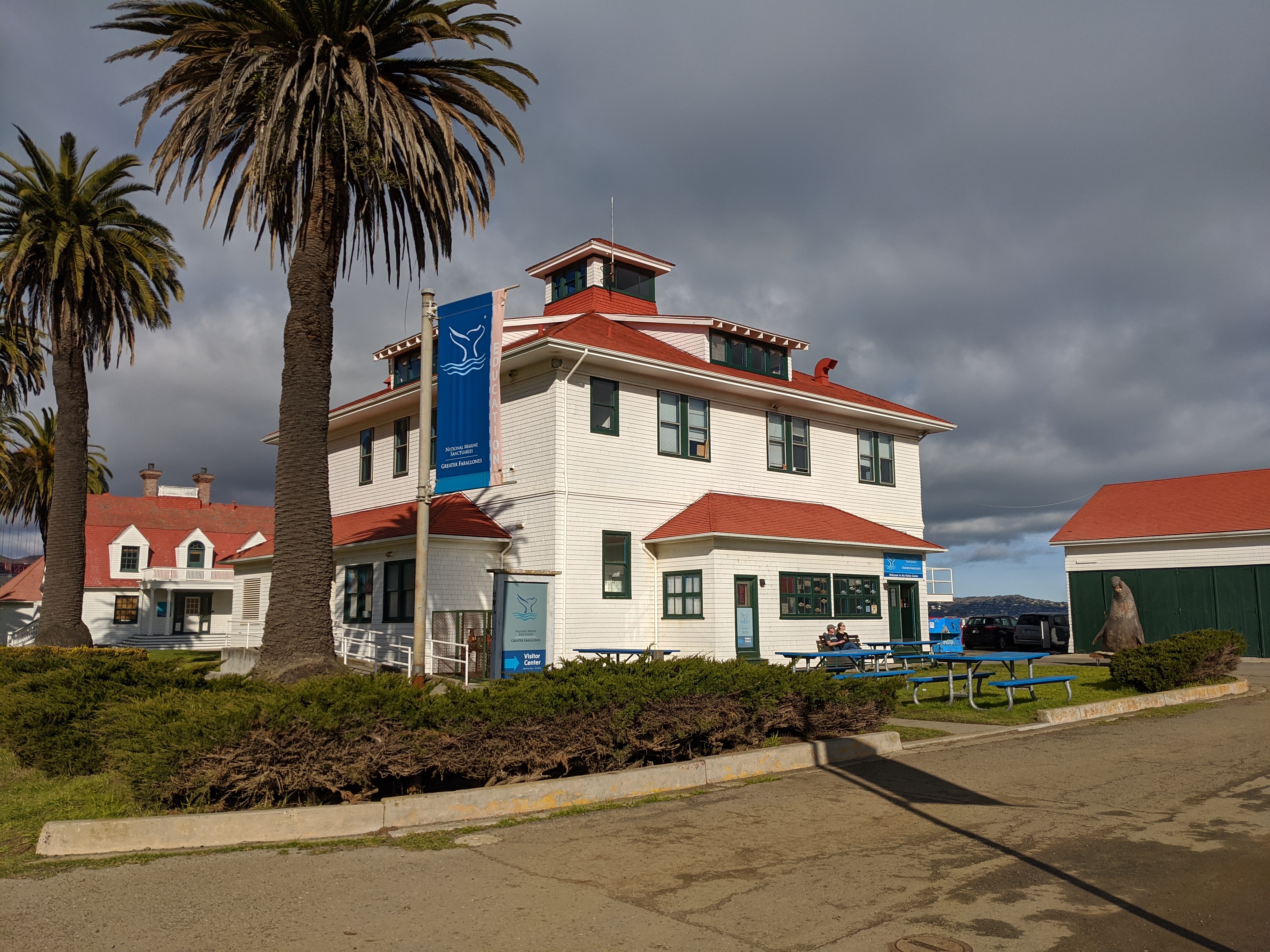 Greater Farallones and Cordell Bank Visitor CenterFacility · not watchable
Explore the amazing wildlife off the northern and central California coast at the Greater Farallones and Cordell Bank National Marine Sanctuary Visitor Center.
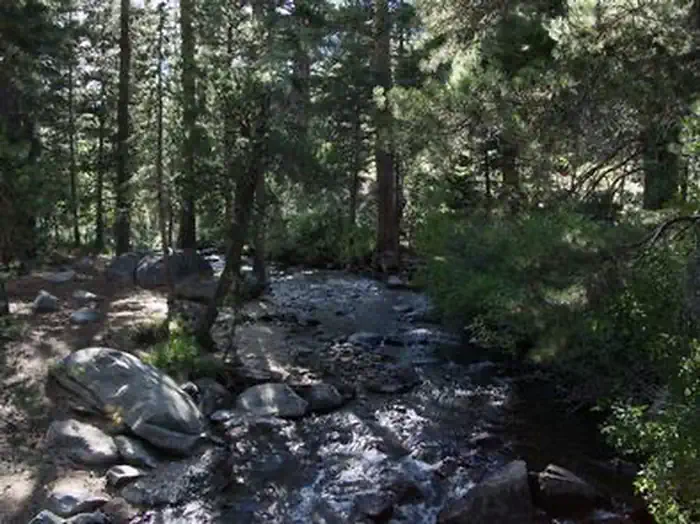 Green Creek GroupCampground · 2 sites
Overview Green Creek Group Campground is located about 12 miles from Bridgeport, California, at an elevation of 7,500 feet.
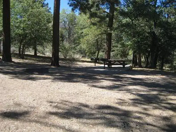 Green Spot Equestrian Group CampCampground · 1 sites
Overview Green Spot Equestrian Group Campground provides access to a number of recreational activities in the area, namely horseback riding trails.
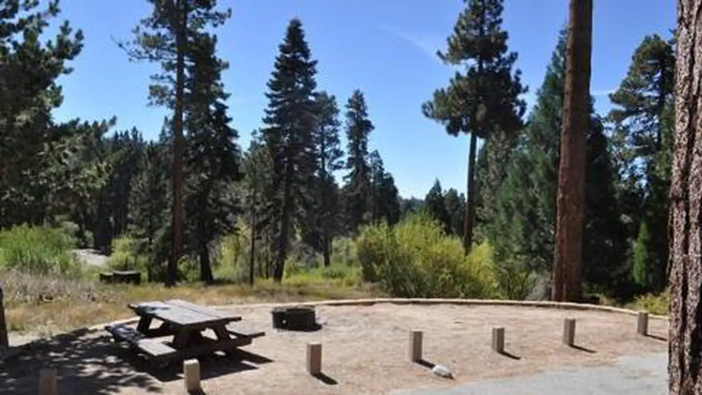 Green ValleyCampground · 36 sites
Overview Green Valley Campground is located near Arrowbear in the San Bernardino National Forest in Southern California.
- Green Valley LakeFacility · not watchable
The lake was artificially created in 1926 with the construction of the Green Valley Dam and makes the lake approximately 9 acres (36,000 m2) in size.
- Gregory Creek Group CampgroundCampground · not watchable
The campground is a single loop and is moderately to thickly wooded with a mix of oak and pine trees that provide plenty of shade in the hot summers (80% +…
 Gregory Creek Group CampgroundCampground · 1 sites
Overview The campground is a single loop and is moderately to thickly wooded with a mix of oak and pine trees that provide plenty of shade during the summer…
- Greyback AmphitheaterFacility · not watchable
The San Gorgonio Wilderness Association hosts evening programs at this site on most Saturday nights and some Sunday nights during the summer months.
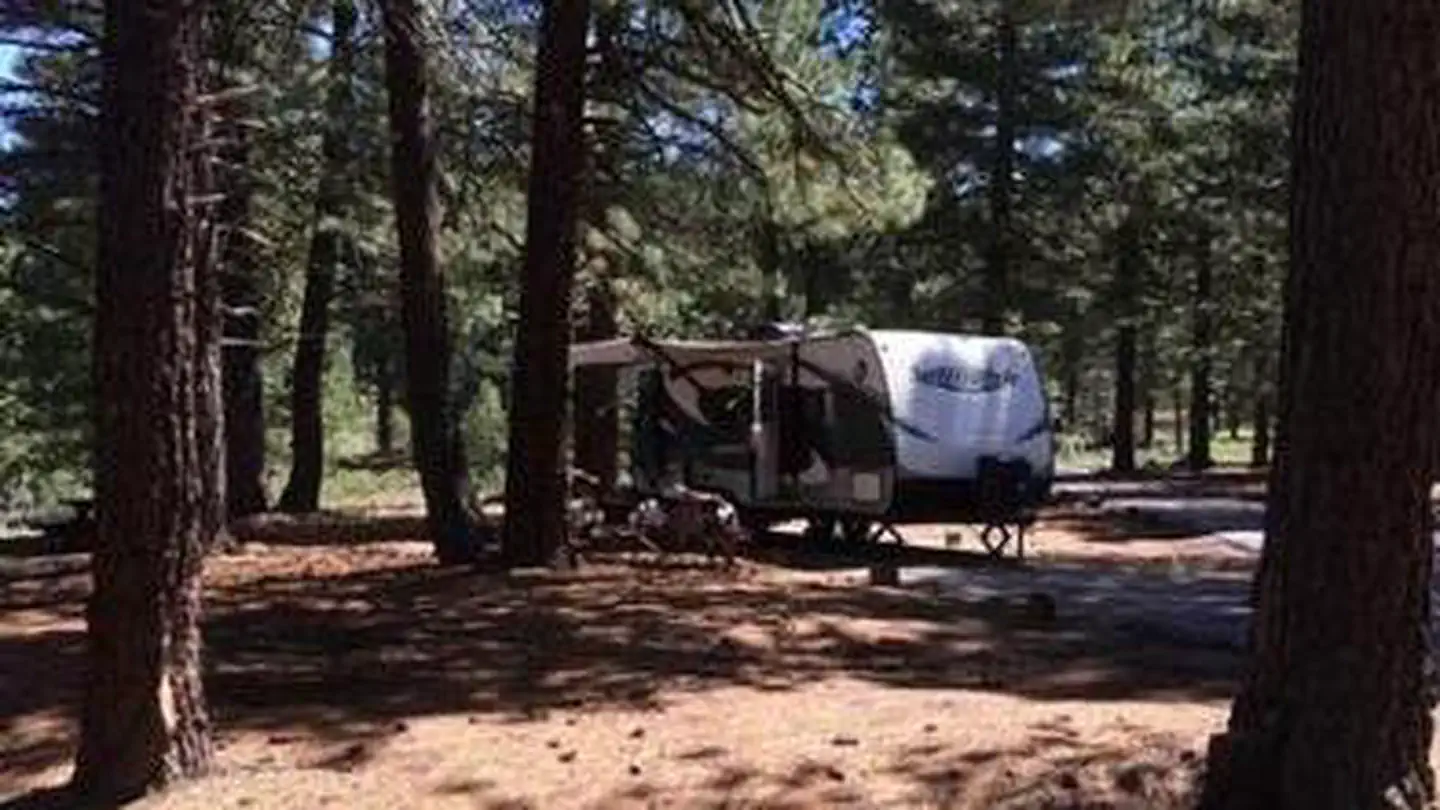 GrizzlyCampground · 29 sites
Overview Grizzly Campground (5,777 feet) is one of three family-friendly campgrounds located in the Lake Davis Recreation Area.
- Grouse Gap Sno-ParkFacility · not watchable
Grouse Gap Sno-Park is located near the summit of Mt. Ashland, and is the access point to the Mt. Ashland Southside (Grouse Gap) Nordic Ski Trail System.
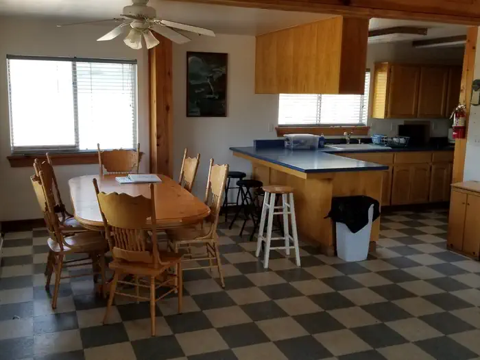 Grouse Valley CabinsCampground · 2 sites
Overview ***Grouse Valley is closed for rehabilitation through at least the 2022 and 2023 seasons*** Grouse Valley is located in the Giant Sequoia National…
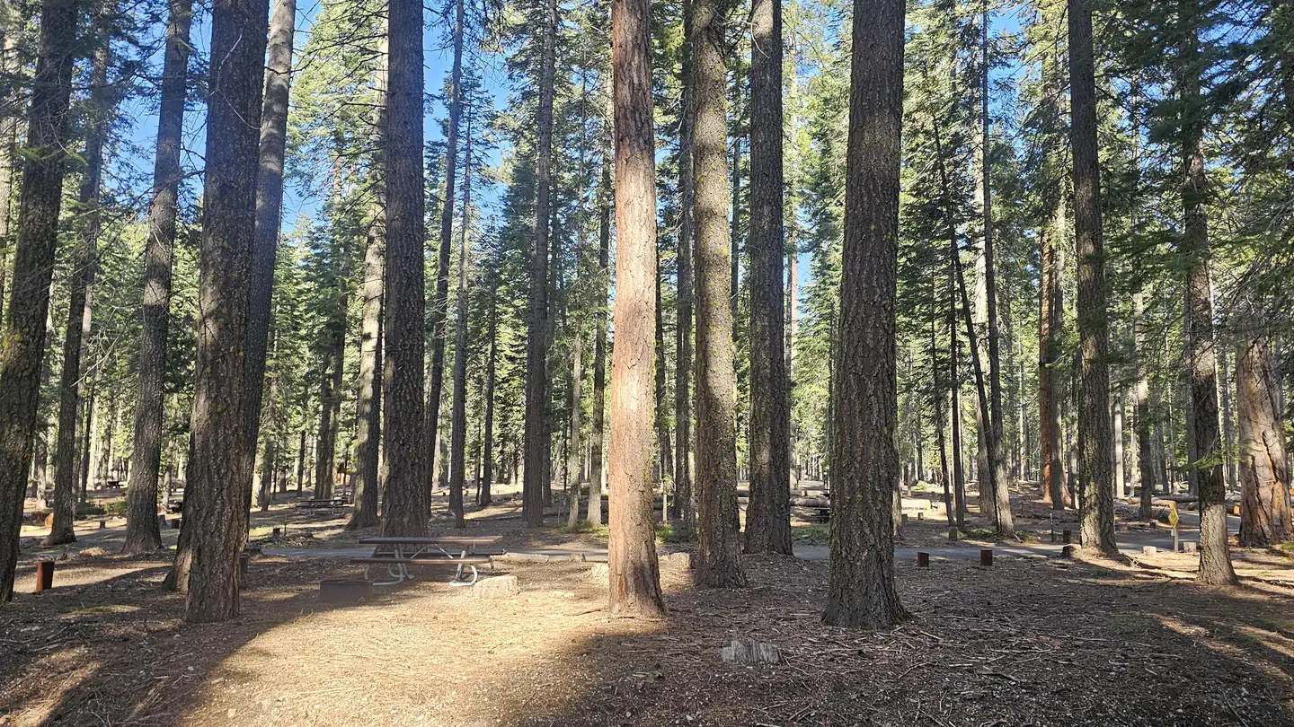 Gurnsey CreekCampground · 2 sites
Overview Gurnsey Creek Campground is located in the mountains of northern California.
 Half Dome PermitsPermit
Overview: Rising nearly 5,000 feet above Yosemite Valley and 8,800 feet above sea level, Half Dome is a Yosemite icon and a great challenge to many hikers.
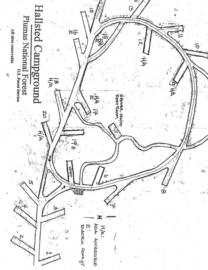 HallstedCampground · 20 sites
Overview Hallsted campground is conveniently situated in the Feather River Canyon, just off the main road in the northern Sierra Nevada Mountains.
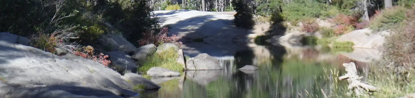 Hampshire RocksCampground · 30 sites
Overview Hampshire Rocks Campground is located in the Tahoe National Forest on the banks of the South Yuba River, near the Rainbow/Big Bend exit along…
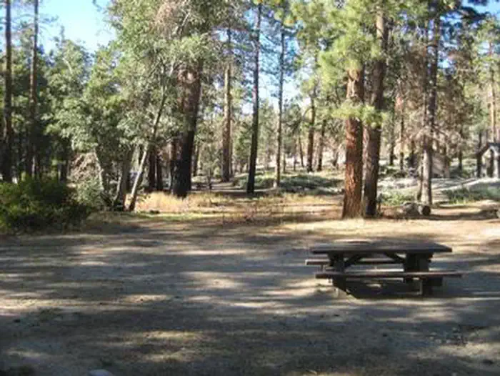 Hanna FlatCampground · 67 sites
Overview Hanna Flat Campground is a family-friendly facility nestled in the pine-covered mountains of Southern California.
- Hanning Flat Dispersed AreaFacility · not watchable
Dispersed Camping on the shore of Lake Isabella. Vault toilet available. No trash recepticals available (Pack In-Pack Out).
- Harr Point CampgroundCampground · not watchable
Campground is on the east shore of Applegate Lake and is accessible only by the Payette Trail #970 or by boat.
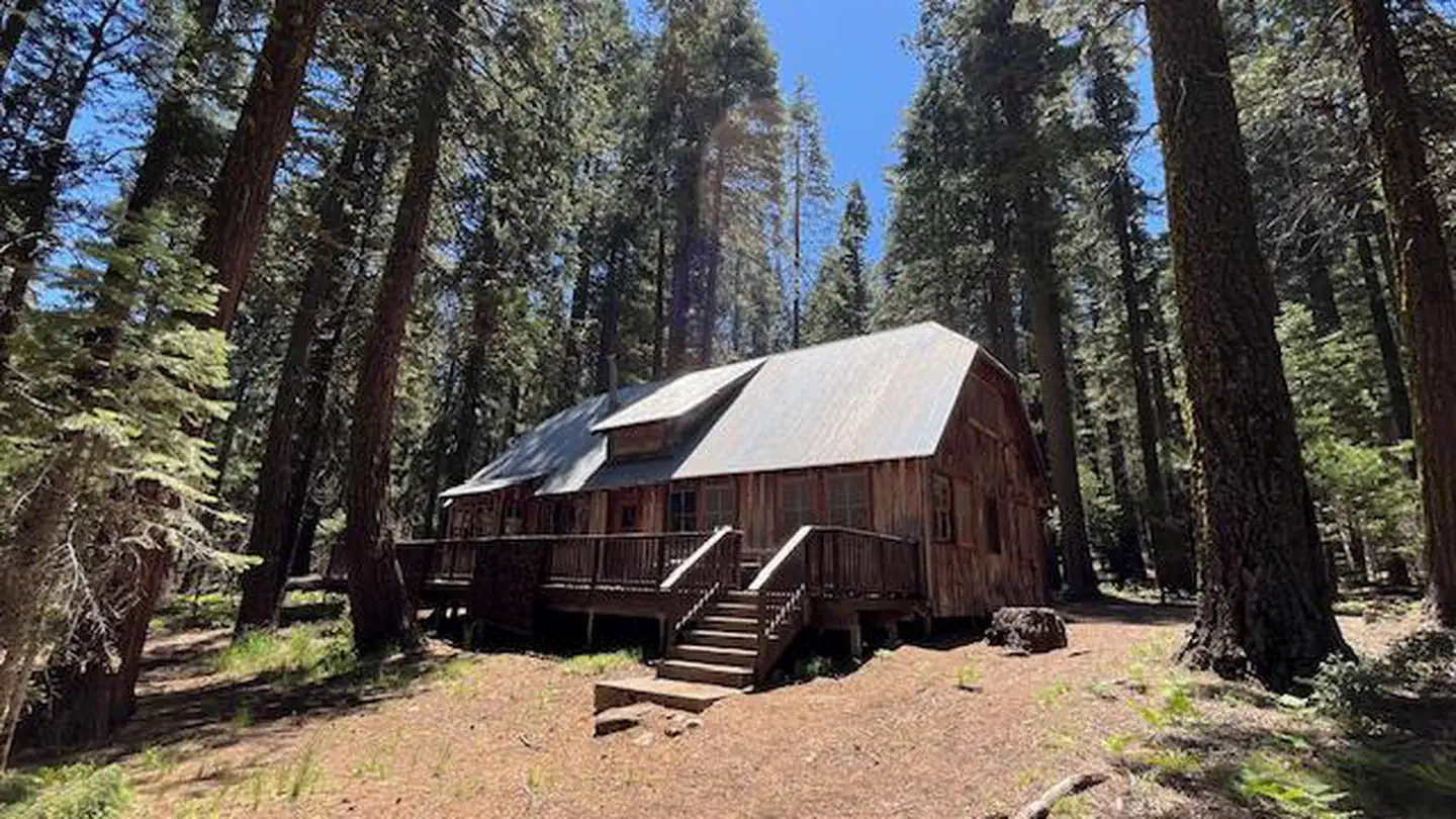 Harvey West CabinCampground · 1 sites
Overview The Harvey West Cabin is located on the Silver Fork of the American River. The cabin is easily access from Silver Fork Road.
 Hat CreekCampground · 12 sites
Overview Hat Creek is one of six campgrounds available in the Hat Creek Recreation Area, home to some of the area's best trout fishing.
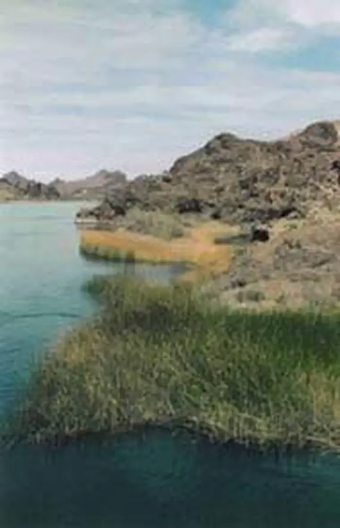 Havasu WildernessFacility · not watchable
The Havasu Wilderness now contains a total of 17,801 acres and is managed by the Fish & Wildlife Service's Havasu National Wildlife Refuge.
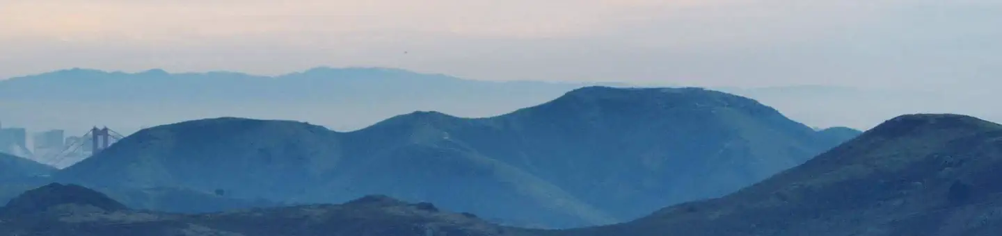 Hawk CampgroundCampground · 3 sites
Overview Hawk Campground is located above Tennessee Valley and offers sweeping views of the Marin Headlands.
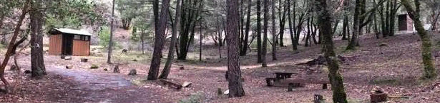 Hayden Flat Group CampgroundCampground · 3 sites
Overview Hayden Flat Campground is located 31 miles west of Weaverville, CA along CA Highway 299 at an elevation of 1200'.
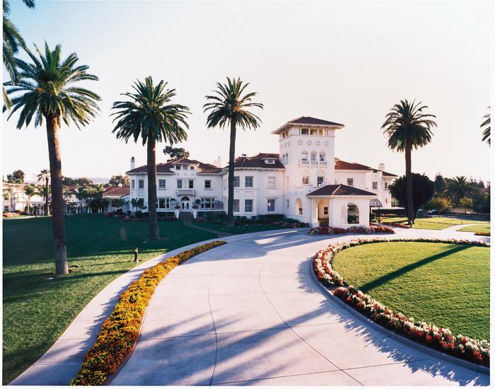 Hayes MansionFacility · not watchable
In 1903, California architect George Page was commissioned by Mary Hayes Chynoweth, to build a home for the Hayes Family.
- Hayfork AreaFacility · not watchable
The SFMU is based in Hayfork and contains the Hayfork and Yolla Bolla Ranger Districts. The SFMU encompasses over 590,000 acres.
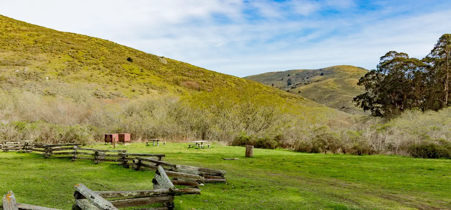 Haypress CampgroundCampground · 6 sites
Overview Haypress Campground is nestled within the coastal scrub of Tennessee Valley, near Mill Valley.
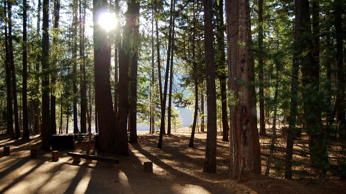 Hayward FlatCampground · 84 sites
Overview Hayward Flat is one of the most popular campgrounds on Trinity Lake, offering excellent lake access and plenty of shade from Ponderosa pines and…
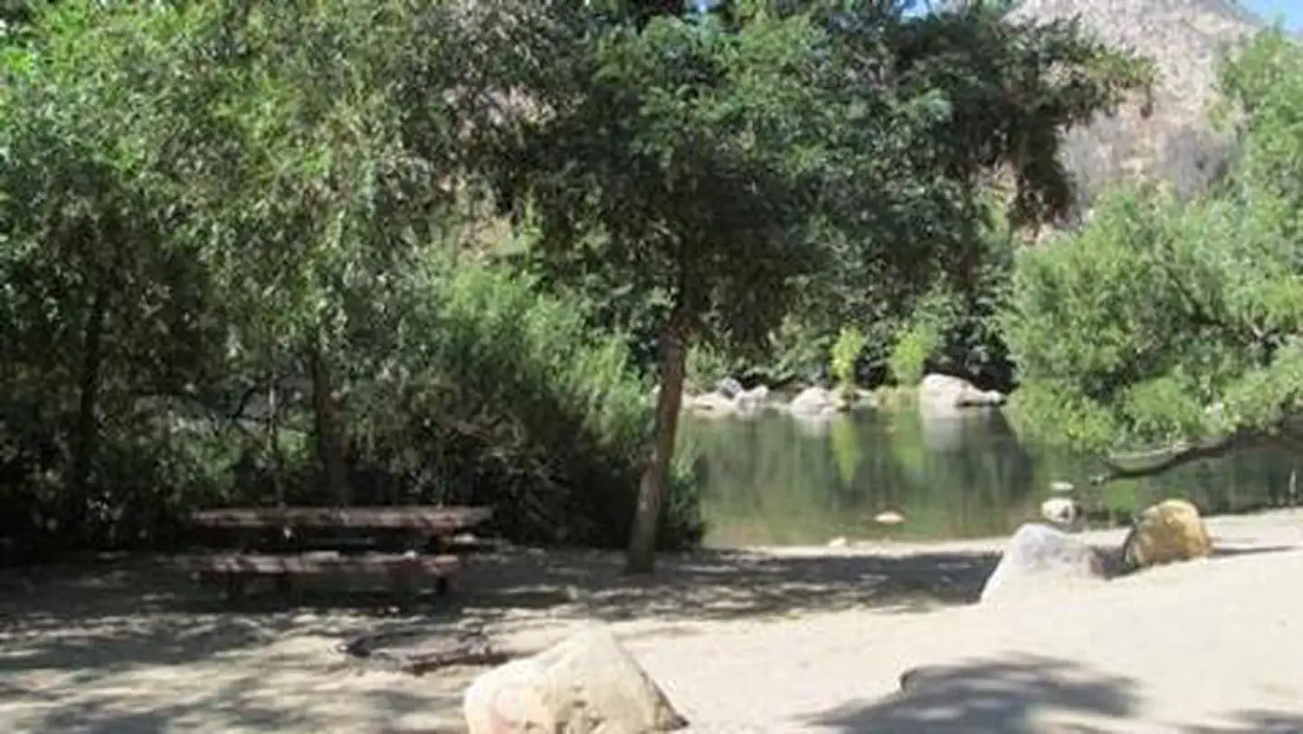 HeadquartersCampground · 42 sites
Overview Headquarters Campground is situated along the Kern River, 6 miles north of the town of Kernville.
- Heaps Peak Arboretum Day Use AreaFacility · not watchable
Located on State Highway 18 west of the community of Skyforest. Come and escape the city and visit our unique mountain oasis of natural beauty!
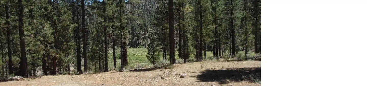 Heart Bar CampgroundCampground · 66 sites
Overview The Heart Bar Campground provides access to some of southern California's greatest backcountry hiking, biking and horseback riding trails, as well as…
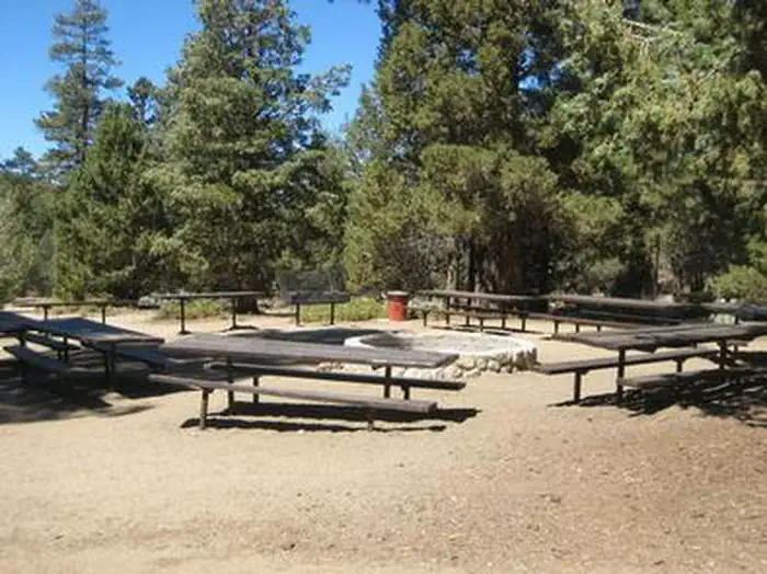 Heart Bar EquestrianCampground · 1 sites
Overview The Heart Bar Equestrian Campground is available by reservation and is for equestrian campers only.
- Hell Hole CampgroundCampground · not watchable
Location: 22 miles east of Georgetown on Wentworth Springs Road, and 29 miles northeast on Forest Highway 2 (Eleven Pines road) to just before Hell Hole…
- Herring Creek CampgroundCampground · not watchable
Herring Creek Campground situated in a mixed conifer forest near Herring Creek. It is located on Forest Road 4N12; turn right onto Herring Creek Road (4N12)…
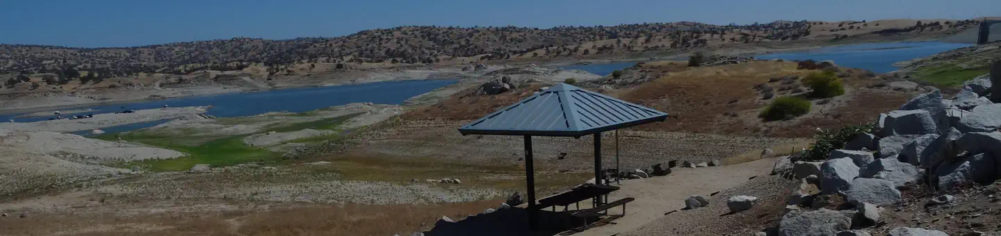 Hidden ViewCampground · 53 sites
Overview Hidden View Campground is located at Hensley Lake in the foothills of central California, 50 miles north of Fresno.
- High Sierra RDFacility · not watchable
The High Sierra Ranger District is located at: 29688 Auberry Rd P.O. Box 559 Prather, CA 93651 (559) 855-5355 Hearing Impaired California Relay Service 711…
- Highway 108 CorridorFacility · not watchable
The Scenic Highway 108 Sonora Pass route begins at an elevation of about 3,000 feet, and rises to an elevation of 9,628 feet above sea level.
- Highway 108 Sno-ParkFacility · not watchable
California State Highway 108 traverses over Sonora Pass in the Sierra Nevada mountain range at an elevation of 9,628 feet and is subject to winter closure at…
- Highway 4Facility · not watchable
During the winter months, Highway 4 (east of closure gate) is groomed for snowmobile use from the SNOPARK just east of Bear Valley to the top of Ebbetts Pass…
- Highway 4 CorridorFacility · not watchable
Welcome to the Calaveras Ranger District, which encompasses the Highway 4 corridor in the northwest portion of the Stanislaus National Forest.
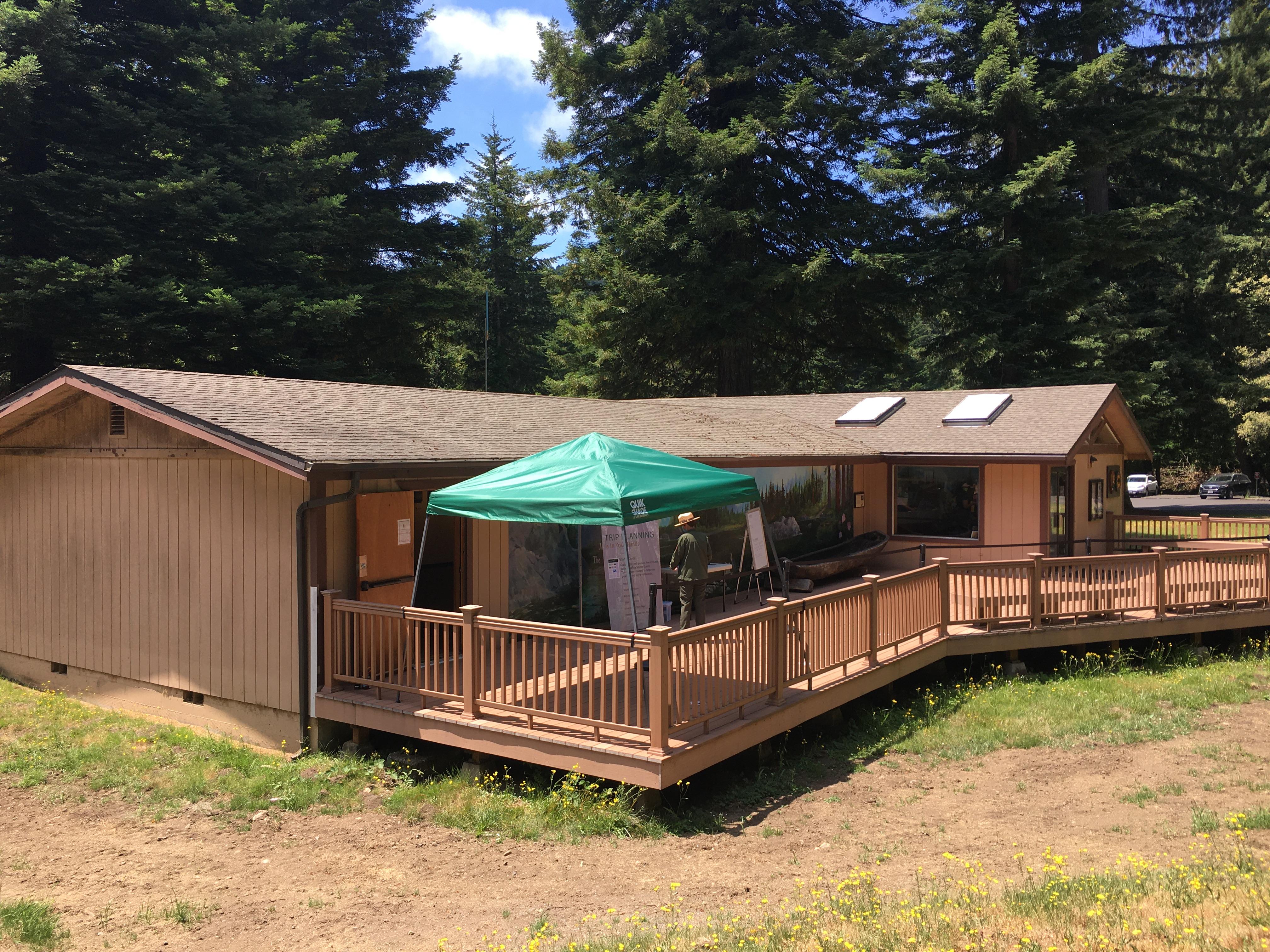 Hiouchi Visitor CenterFacility · not watchable
Northern-most park visitor center located 9-miles east of Crescent City on Hwy 199.
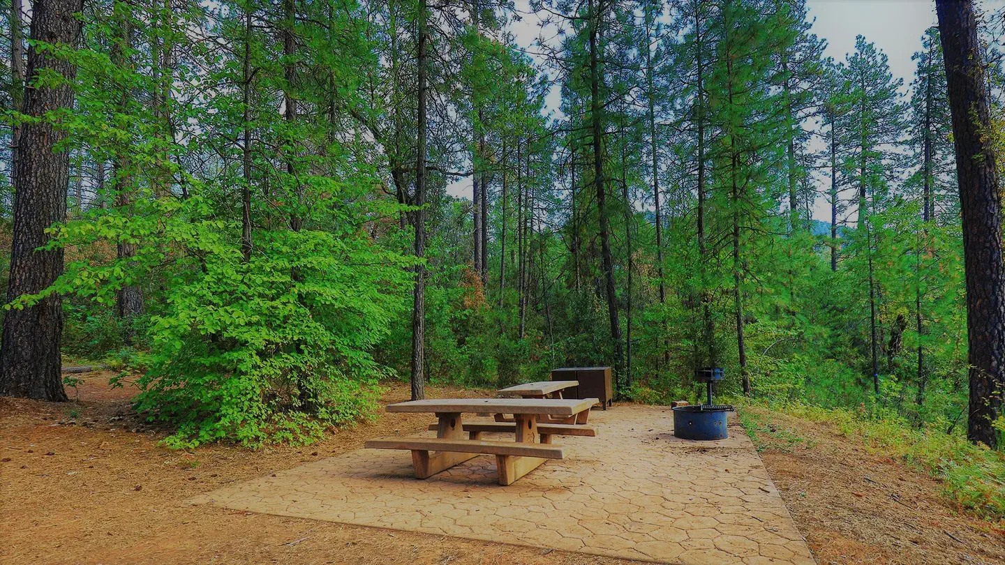 Hirz BayCampground · 47 sites
Overview Hirz Bay Campground is nestled among Manzanita and oak trees on a hilltop overlooking the McCloud Arm of Shasta Lake.
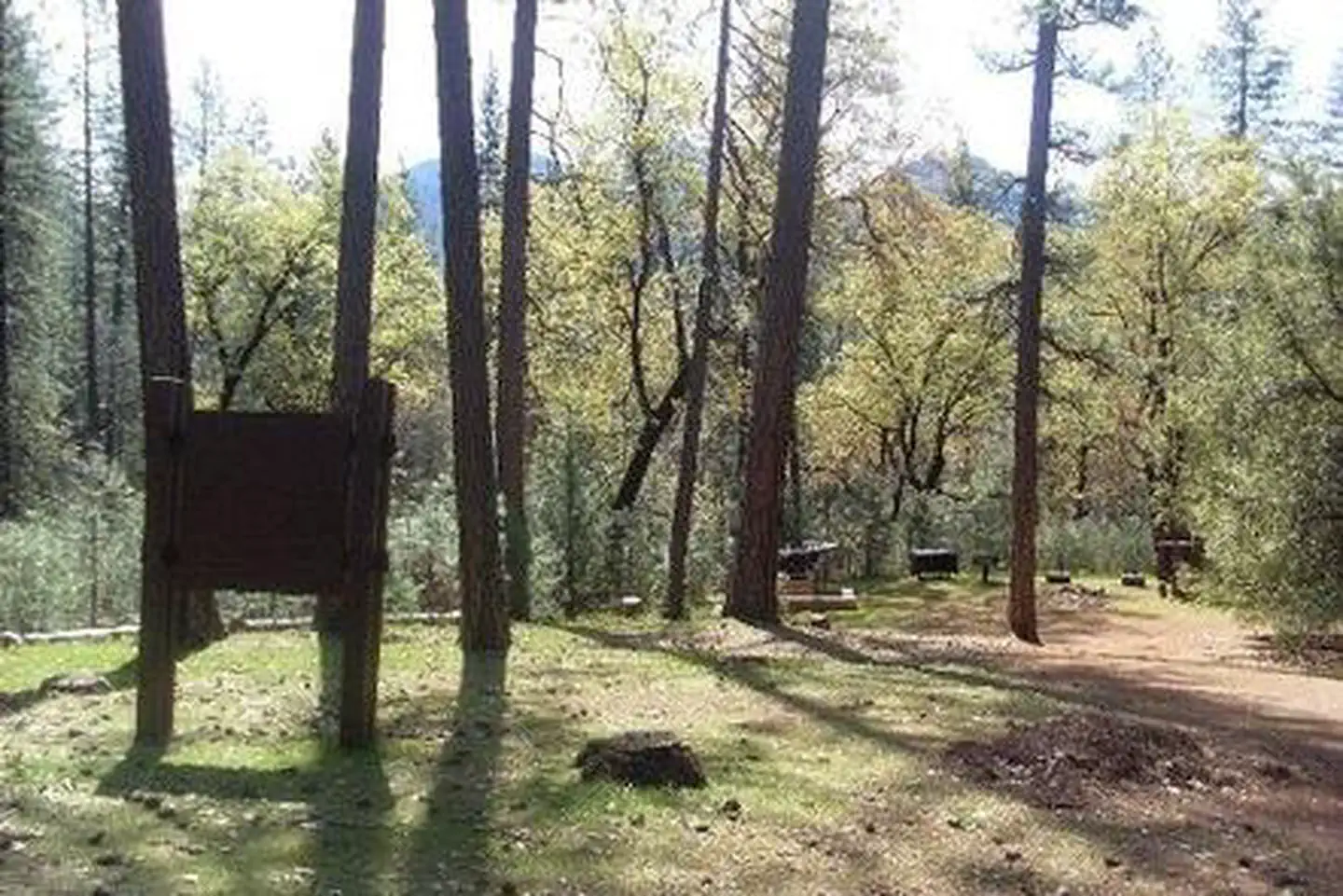 Hirz Bay Group 1Campground · 1 sites
Overview The Hirz Bay Group 1 Campground sits on the McCloud Arm of Shasta Lake in a forest of oak and Manzanita.
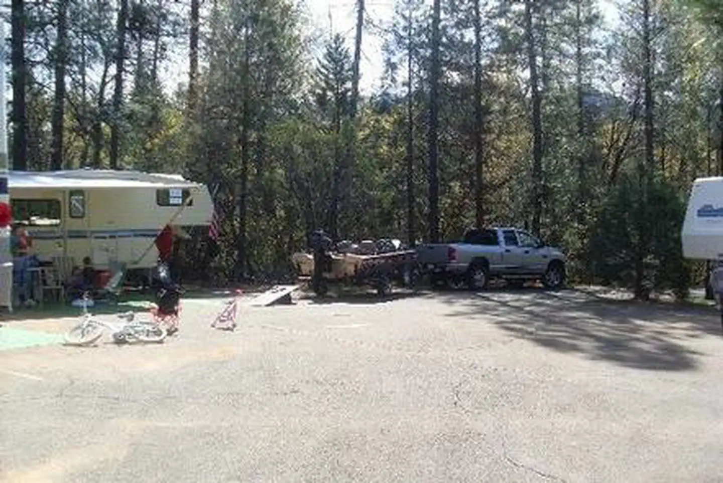 Hirz Bay Group 2Campground · 1 sites
Overview Hirz Bay Group 2 Campground sits along the McCloud Arm of Shasta Lake, shaded by a forest of oak and Manzanita.
- Hirz Bay Public Boat RampFacility · not watchable
Located on the McCloud Arm of Shasta Lake, the Hirz Bay boat ramp is paved and has three (3) ramps for varying lake levels.
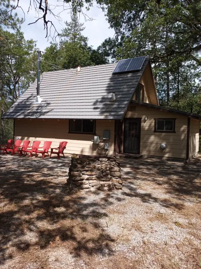 Hirz CabinCampground · 1 sites
Overview Hirz Cabin is nestled among manzanita and oak trees on a hilltop overlooking the McCloud Arm of Shasta Lake.
 Hirz Mountain LookoutCampground · 1 sites
Overview The McCloud River Wintu tribe held Hirz Mountain in reverence and had a name for it in their own language.
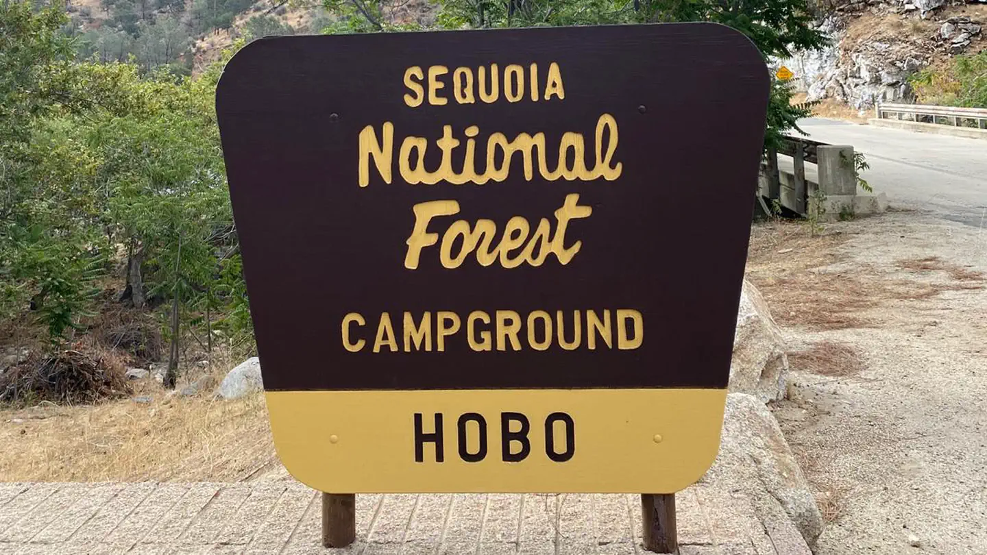 Hobo CampgroundCampground · 23 sites
Overview Hobo Campground is tucked on the banks of the Lower Kern River, north of the popular Miracle Hot Springs.
- Hobo CampgroundCampground · not watchable
HOBO CAMPGROUND IS CURRENTLY CLOSED DUE TO ROAD WASHOUT (2018) Hobo Campground is on the Lower Kern River southwest of Lake Isabella.
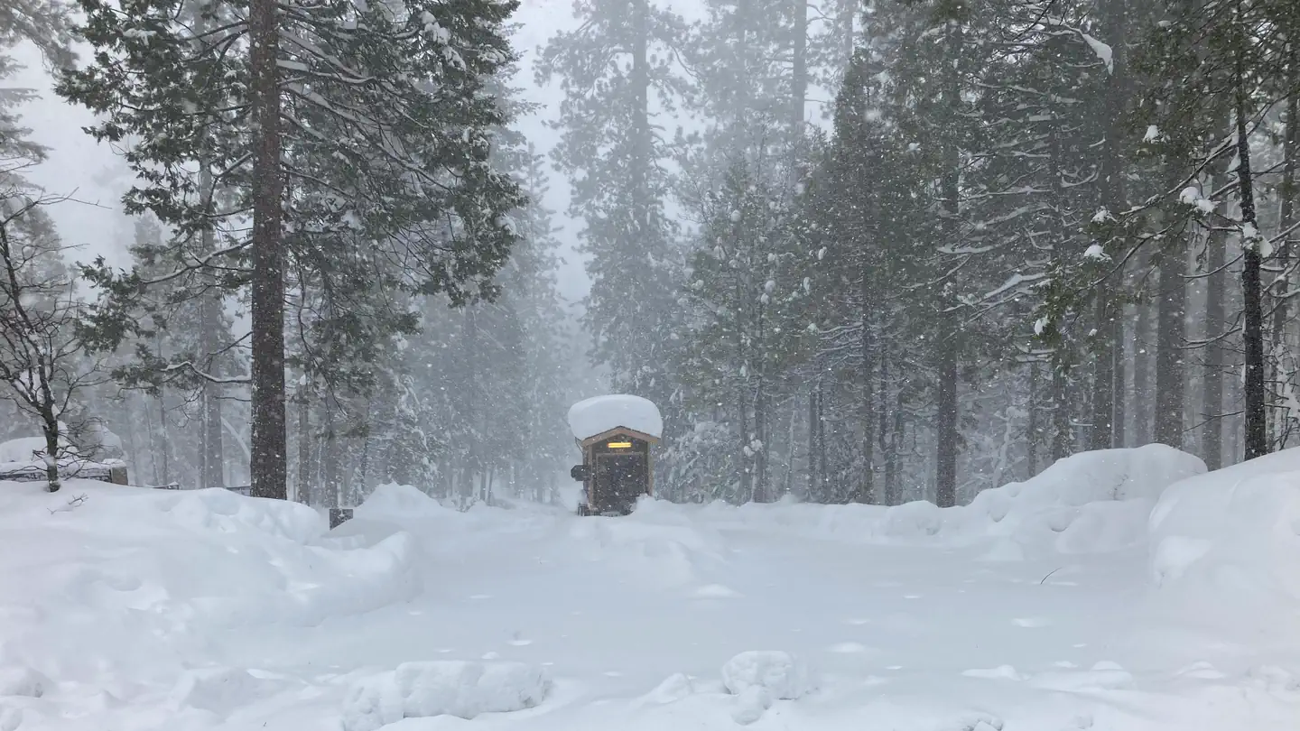 Hodgdon Meadow CampgroundCampground · 104 sites
Overview Hodgdon Meadow campground is located in breathtaking Yosemite National Park in Central California's rugged Sierra Nevada Mountain Range.
- Holcomb CreekFacility · not watchable
California Department of Fish and Game plants rainbow trout twice per month in spring, upstream from crossing.
- Holcomb Valley CampgroundCampground · not watchable
This family campground has 19 single-family campsites. All sites are first-come-first-serve basis (no reservations).
- Holcomb Valley OHV Road 3N16Facility · not watchable
This road runs just over 26 miles from Green Valley Lake Road to the Dump Access Road near Baldwin Lake.
- Hole-in-the-Ground CampgroundCampground · not watchable
True to its name, Hole-in-the-Ground is tucked away in a steep, tree-covered draw alongside Mill Creek.
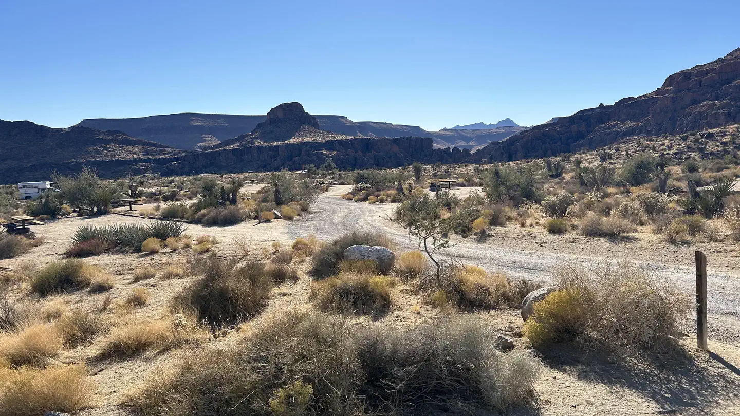 Hole-in-the-Wall CampgroundCampground · 37 sites
Overview Mojave preserves a diverse mosaic of ecological habitats and a 10,000 year history of human connection with the desert.
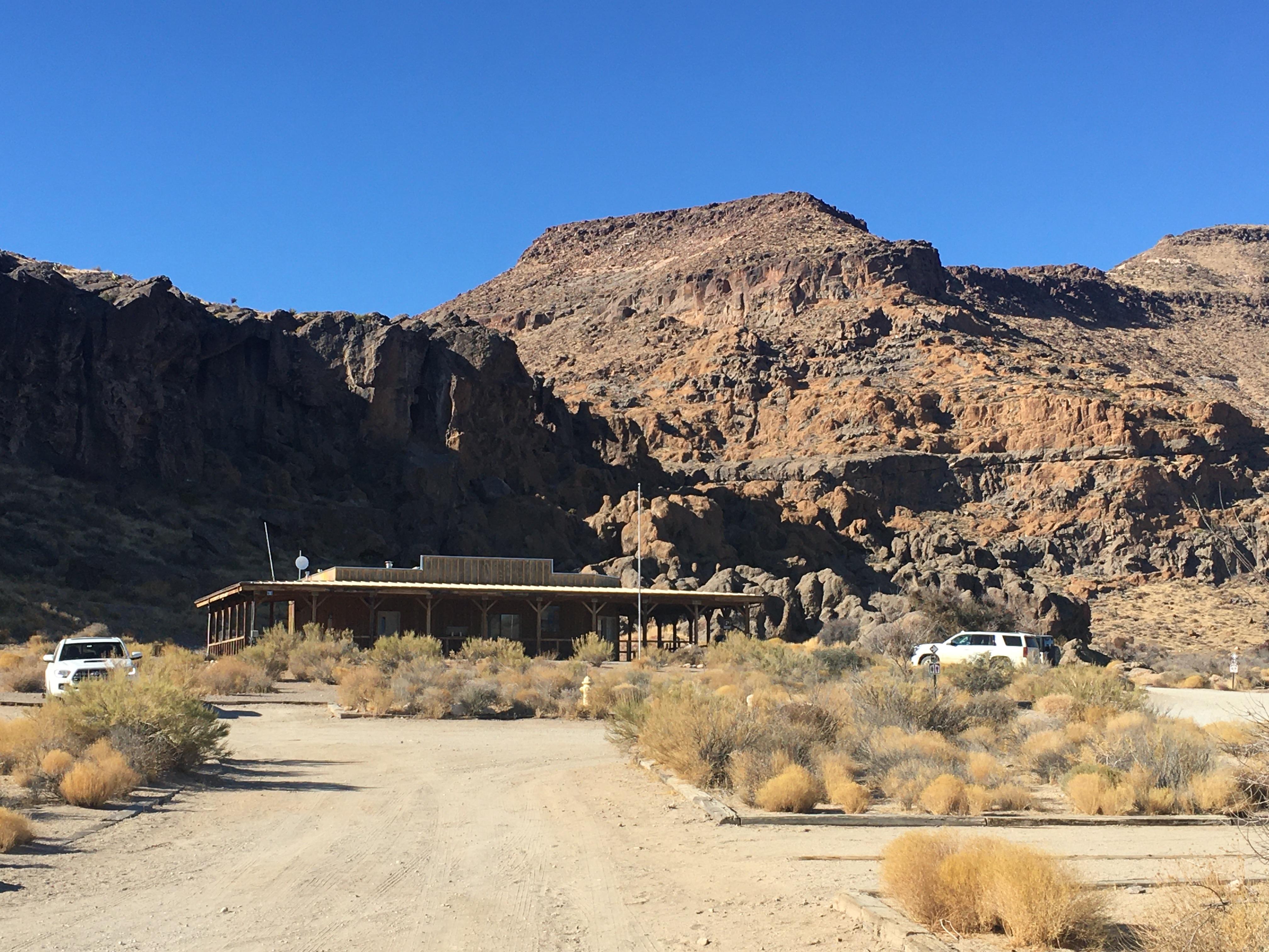 Hole-in-the-Wall Visitor CenterFacility · not watchable
Information, park brochures, drinking water, and passport stamps are available. Limited maps, books, postcards and other items available for purchase with the…
 Holey MeadowCampground · 9 sites
Overview The Sequoia National Forest, located at the southern end of the Sierra Nevada in central California, takes its name from the giant sequoia, the…
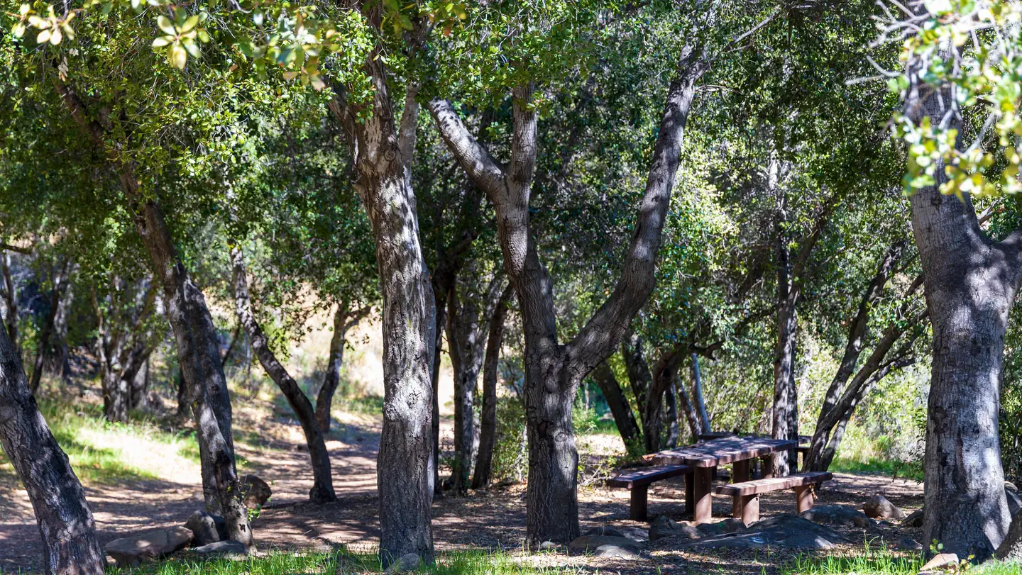 Holiday Group CampgroundCampground · 1 sites
Overview Holiday Group Campground is a relaxing location to enjoy nature all year long; a quick escape from the bustle of the city.
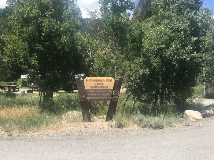 Honeymoon FlatCampground · 28 sites
Overview Honeymoon Flat Campground is located just 8 miles from Bridgeport, California, next to Robinson Creek at an elevation of 7,000 feet.
 Hope ValleyCampground · 21 sites
Overview Hope Valley Campground is located in its beautiful namesake valley at an elevation of 7,300 feet, just 40 minutes south of Lake Tahoe.
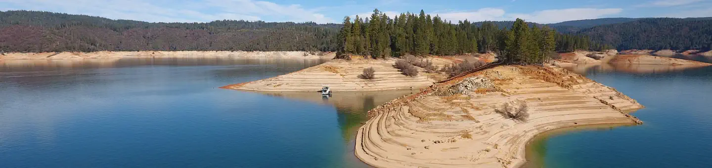 Hornswoggle Group CampgroundCampground · 6 sites
Overview Bullards Bar Reservoir is located on the North Yuba River at an elevation of 2000 feet.
 Horse Camp Primitive CampgroundCampground · 2 sites
Overview This campground is located in the southeast corner of Whiskeytown National Recreation Area, 15 miles west of Redding, California, and three and a half…
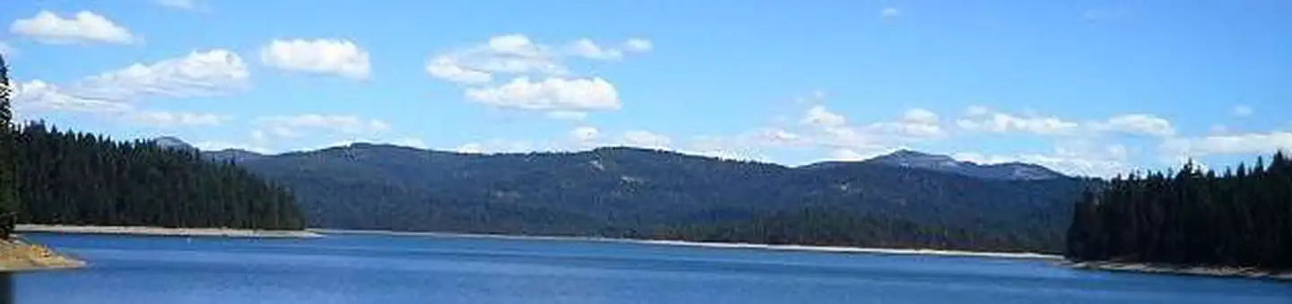 Horse CampgroundCampground · 10 sites
Overview Horse Camp is located on the eastern shore of the Little Grass Valley Reservoir, giving visitors ample opportunity to fish, swim, boat and enjoy…
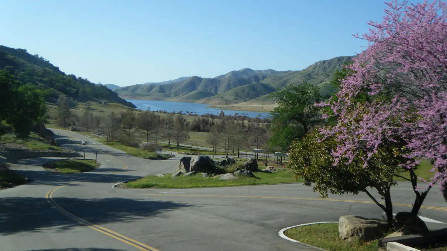 Horse CreekCampground · 80 sites
Overview Horse Creek Campground is located on the Kaweah River in the foothills of central California's Sierra Nevada Mountains.
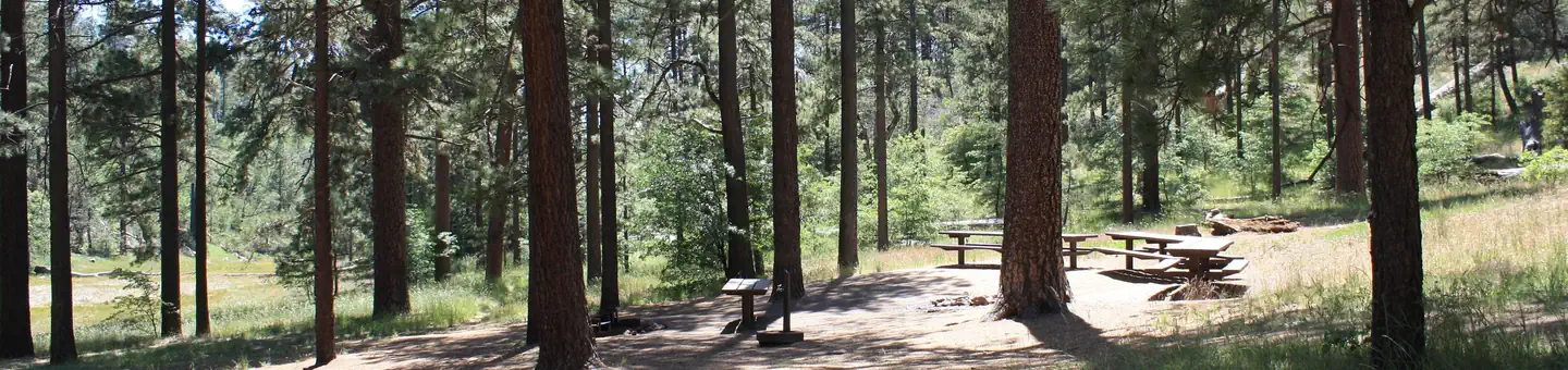 Horse Heaven GroupCampground · 3 sites
Overview Contrary to its name, Horse Heaven Group Campground has no equestrian sites.
- Horse Meadow CampgroundCampground · not watchable
7600-foot elevation. 41 campsites. Horse Corrals. Near Cherry Hill Road 22S12/23S10. Maximum RV length 22 feet.
- Horse Springs CampgroundCampground · not watchable
For those visitors who want to get away from the hustle and bustle of the nearby Big Bear valley, Horse Springs campground offers a secluded escape unlike…
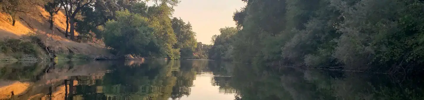 Horseshoe Road Recreation AreaCampground · 15 sites
Overview Horseshoe Road Campground is part of the park system scattered along the lower Stanislaus River within the foothills of the Sierra Nevada.
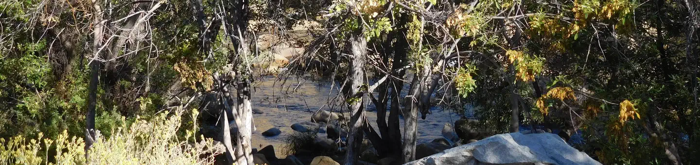 Hospital FlatCampground · 36 sites
Overview Hospital Flat Campground is situated along the Kern River, 6.5 miles north of the town of Kernville.
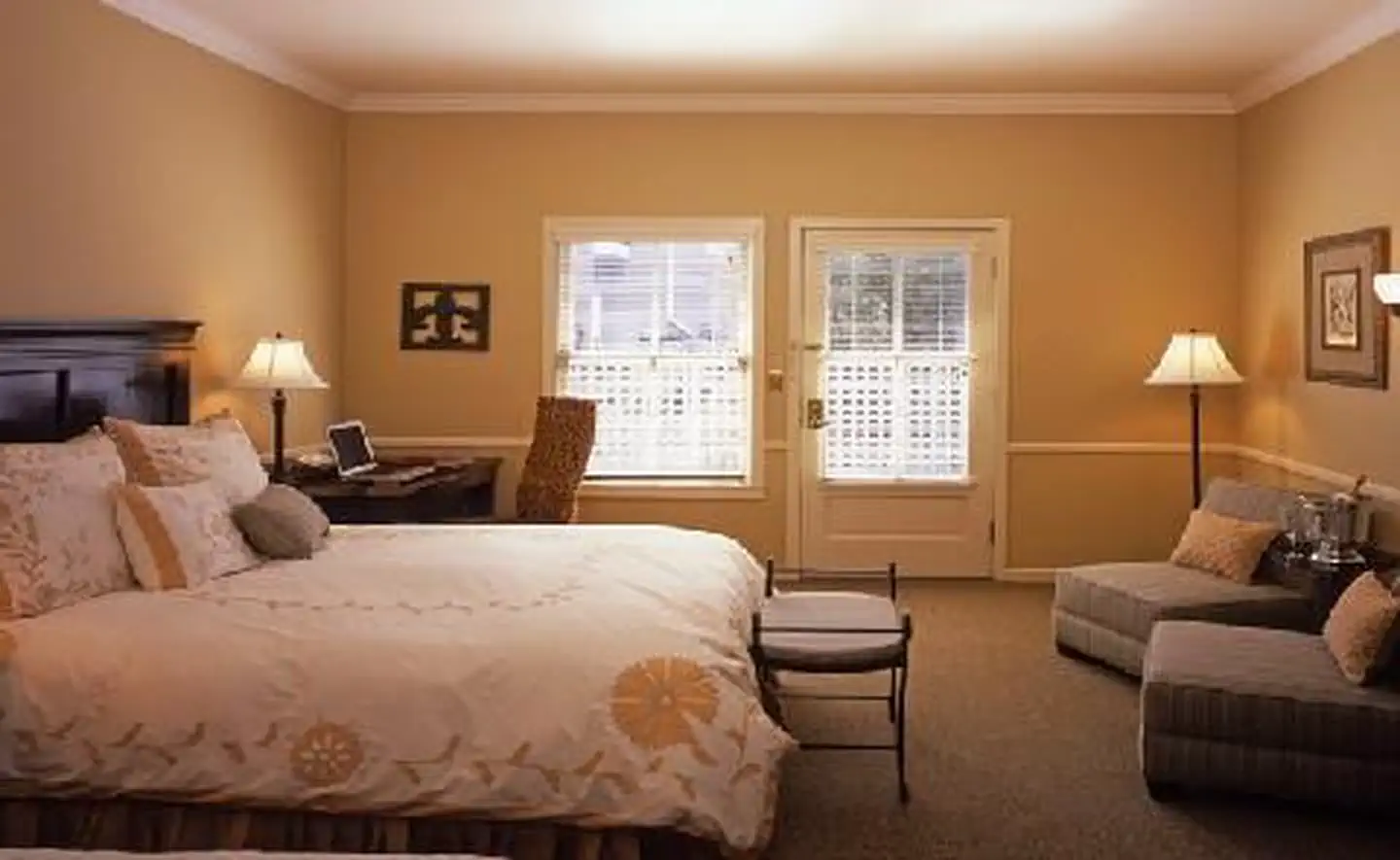 Hotel La RoseFacility · not watchable
Hotel La Rose, built in 1907 and a member of Historic Hotels of America® since 1997 was listed in the National Register of Historic Places in 1978.
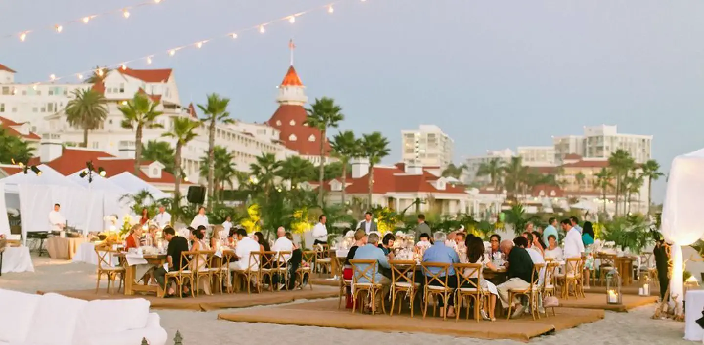 Hotel del CoronadoFacility · not watchable
Hotel del Coronado, built in 1888 and a member of Historic Hotels of America® since 2007, was designated by the U.S.
- Howard Creek - 22W26Facility · not watchable
Howard Creek Trail (22W26) Length: 2.8 miles Difficulty: moderate Turn right on Rose Valley Road and drive .4 miles and park on the right.
- Hull Creek / Trout CreekFacility · not watchable
The Hull and Trout Creek area southeast of Long Barn is a popular area for ATV and four-wheel drive users to operate with 20 miles of signed trails and 100…
- Hull Creek CampgroundCampground · not watchable
Secluded area with small stream. For more information and other OHV riding opportunities on Forest Service lands, please visit the California State Off…
- Humber Park Trailhead ParkingFacility · not watchable
Two trails start at this site: Devils Slide Trail 3E05 and Ernie Maxwell Scenic Trail 3E07.
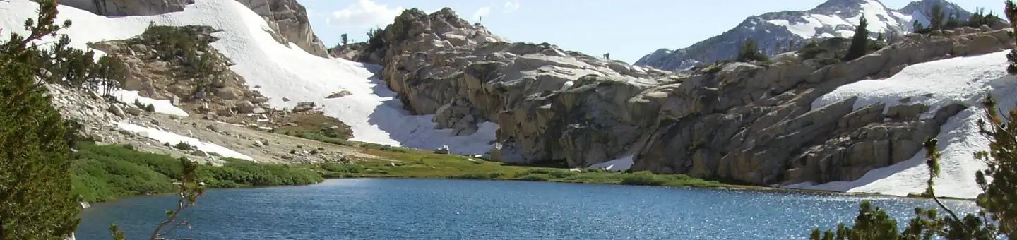
- Hume LakeFacility · not watchable
Hume Lake is an 87-acre lake formed by a unique multiple arch dam, constructed in 1908.
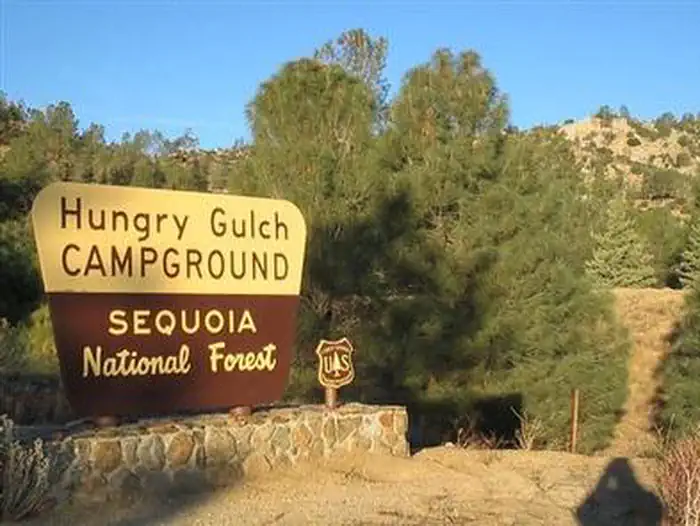 Hungry GulchCampground · 78 sites
Overview Hungry Gulch Campground sits 3 miles from Lake Isabella in the Sequoia National Forest of California.
- Hunter CreekFacility · not watchable
The Hunter Creek area east of Tuolumne City on the south end of the Mi Wok Ranger District offers 100 miles of roads open to OHV use.
- Huntington Boat Ramp & Launching SiteFacility · not watchable
The Huntington Boat Launching facility offers paved boating access, parking, and day use at Huntington Lake.
- Huntington Lake Recreation AreaFacility · not watchable
Huntington Lake offers many activities, including swimming, sailing, boating, non-motorized boating, fishing and water skiing.
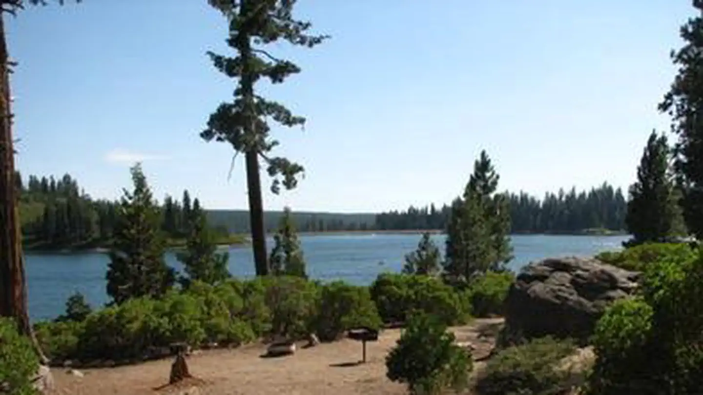 Ice HouseCampground · 87 sites
Overview Ice House Campground is surrounded by a mixed conifer forest on the shores of Ice House Reservoir.
- Inaja Memorial Picnic SiteFacility · not watchable
Distance Offers a 0.5 mile trail Pets Allowed Yes Fees None Hike Time 30 minutes to 2.5 hours Difficulty Easy Best Seasons All Seasons Location On Hwy 78…
- Indian Basin GroveFacility · not watchable
Indian Basin Grove is a mid size grove of 448 acres with the popular Princess Campground and Indian Basin interpretive trail within its boundaries.
- Indian Basin TrailheadFacility · not watchable
Indian Basin Trailhead is a developed trailhead with a vault toilet and parking, located in Princess Campground off the Highway 180.
 Indian Cove CampgroundCampground · 97 sites
Overview Download the NPS app prior to visiting the park – trail maps and more! Indian Cove Campground lies amid the huge, steep rock formations for which…
 Indian Cove GroupCampground · 13 sites
Overview Download the NPS app prior to visiting the park – trail maps and more! Indian Cove Campground lies amid the huge, steep rock formations for which…
- Indian Flats CampgroundCampground · not watchable
17 sites. Pacific Crest Trail Access. No Water. The nearest water can be found at the Warner Springs Gas Station.
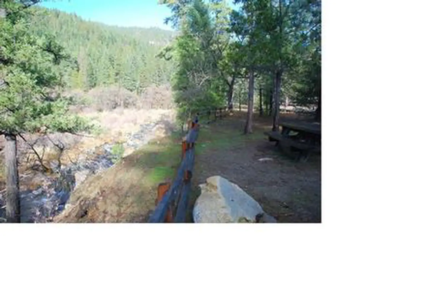 Indian Scotty CampgroundCampground · 28 sites
Overview Indian Scotty Group Site is located next to the Wild and Scenic Scott River in Klamath National Forest.
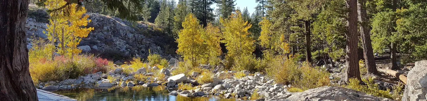 Indian SpringsCampground · 34 sites
Overview Indian Springs Campground is located in the Tahoe National Forest along Interstate 80 the South Yuba River.
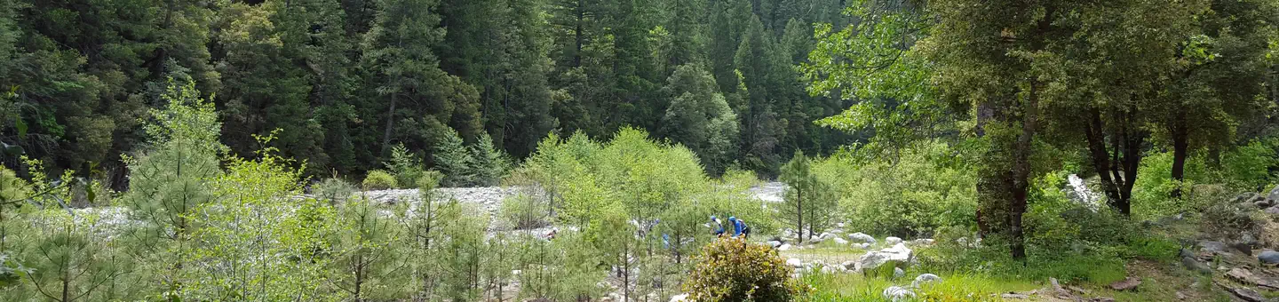 Indian ValleyCampground · 16 sites
Overview Indian Valley Campground is located alongside the North Yuba River just off Highway 49, about 11 miles west of Downieville.
- Indian Vista Scenic OverlookFacility · not watchable
This scenic viewpoint is on Highway 243, 9.5 miles northwest of Idyllwild. Watch for songbirds in the chaparral and oak trees and red-tailed hawks and ravens…
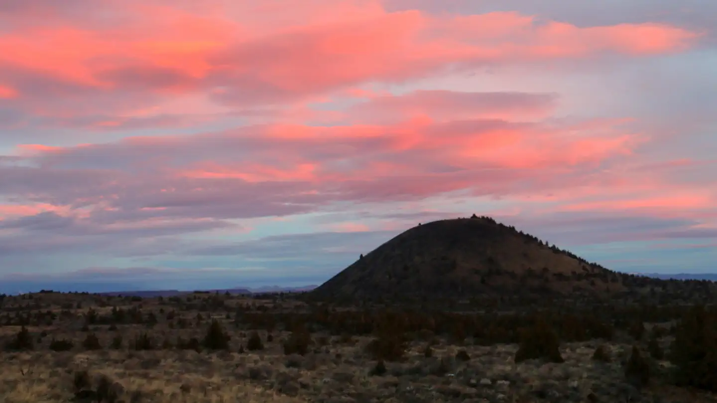 Indian Well CampgroundCampground · 44 sites
Overview The Indian Well Campground is in the heart of Lava Beds National Monument.
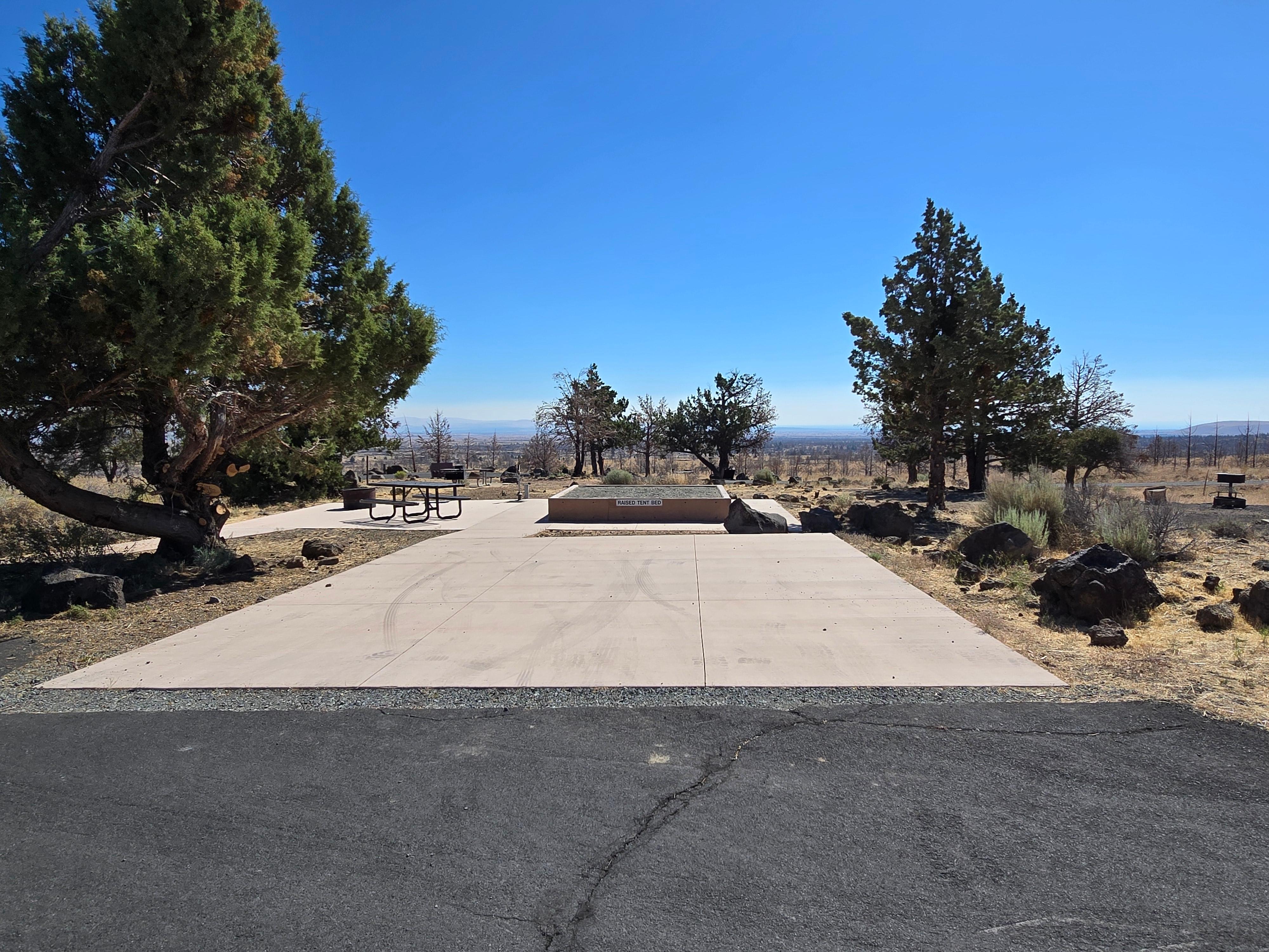 Indian Well CampgroundCampground · not watchable
Indian Well Campground is located 1/2 mile (0.8 km) from the Visitor Center. There are 43 sites available on a first-come, first serve basis.
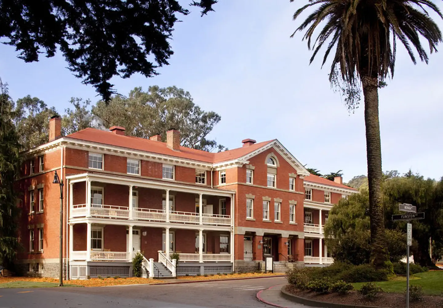 Inn at the PresidioFacility · not watchable
The Inn at the Presidio built in 1903 and a member of Historic Hotels of America® since 2011 was listed in the National Register of Historic Places in 1962.
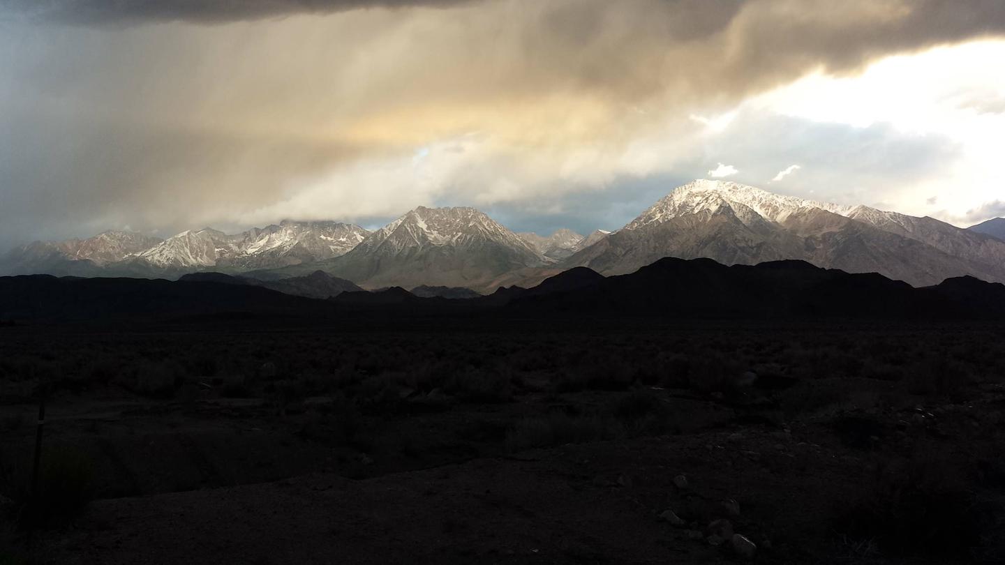 Inyo National Forest - Wilderness PermitsPermit
Overview: Located in California's beautiful eastern Sierra Nevada Mountains, Inyo National Forest offers clean air, crystal blue skies, mountain lakes and…
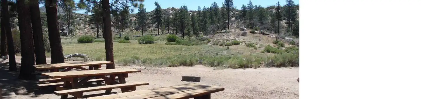 Ironwood Group CampCampground · 1 sites
Overview Ironwood Group Campground offers a secluded place for an extended family or large group getaway in the mountains of Southern California.
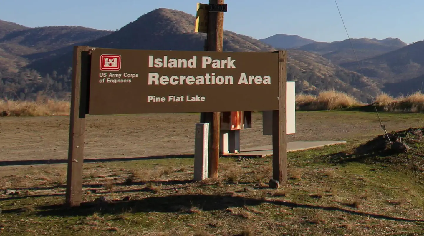 Island ParkCampground · 92 sites
Overview Island Park Recreation Area is the place to go for campers looking for lots of exciting water activities at Pine Flat Lake.
 Jackass MeadowCampground · 40 sites
Overview Jackass Meadow Campground is situated below Florence Lake on the San Joaquin River, surrounded by the craggy peaks of the John Muir Wilderness.
- Jackson Meadow ReservoirFacility · not watchable
Jackson Meadow Reservoir is a high altitude lake at 6100 feet situated in a rolling forested valley on the eastern crest of the Sierra Nevada.
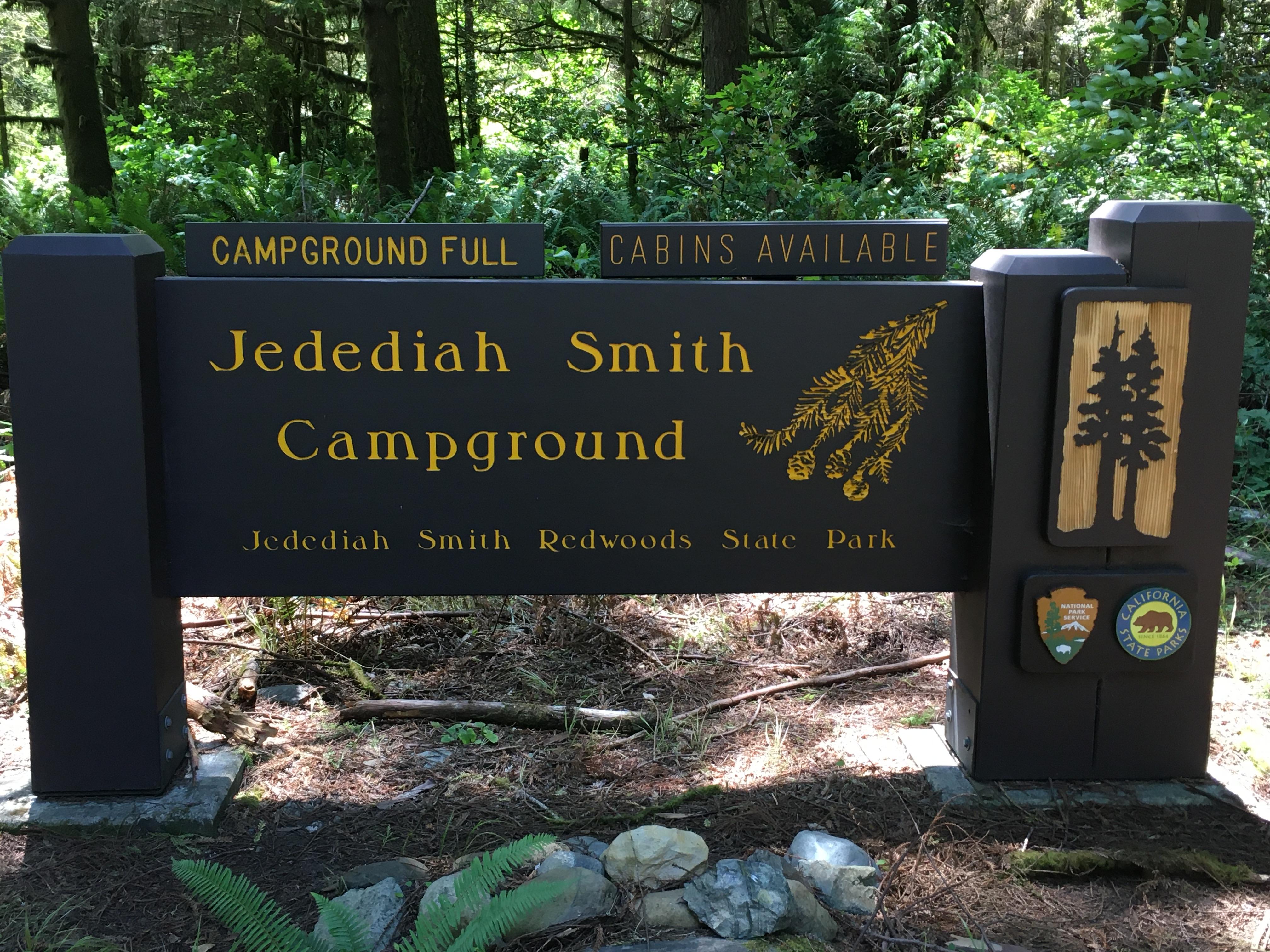 Jedediah Smith Campground - Jedediah Smith Redwoods State ParkCampground · not watchable
Situated in a magnificent old-growth redwood grove on the banks of the wild and scenic Smith River, this campground offers hiking trails, swimming, fishing,…
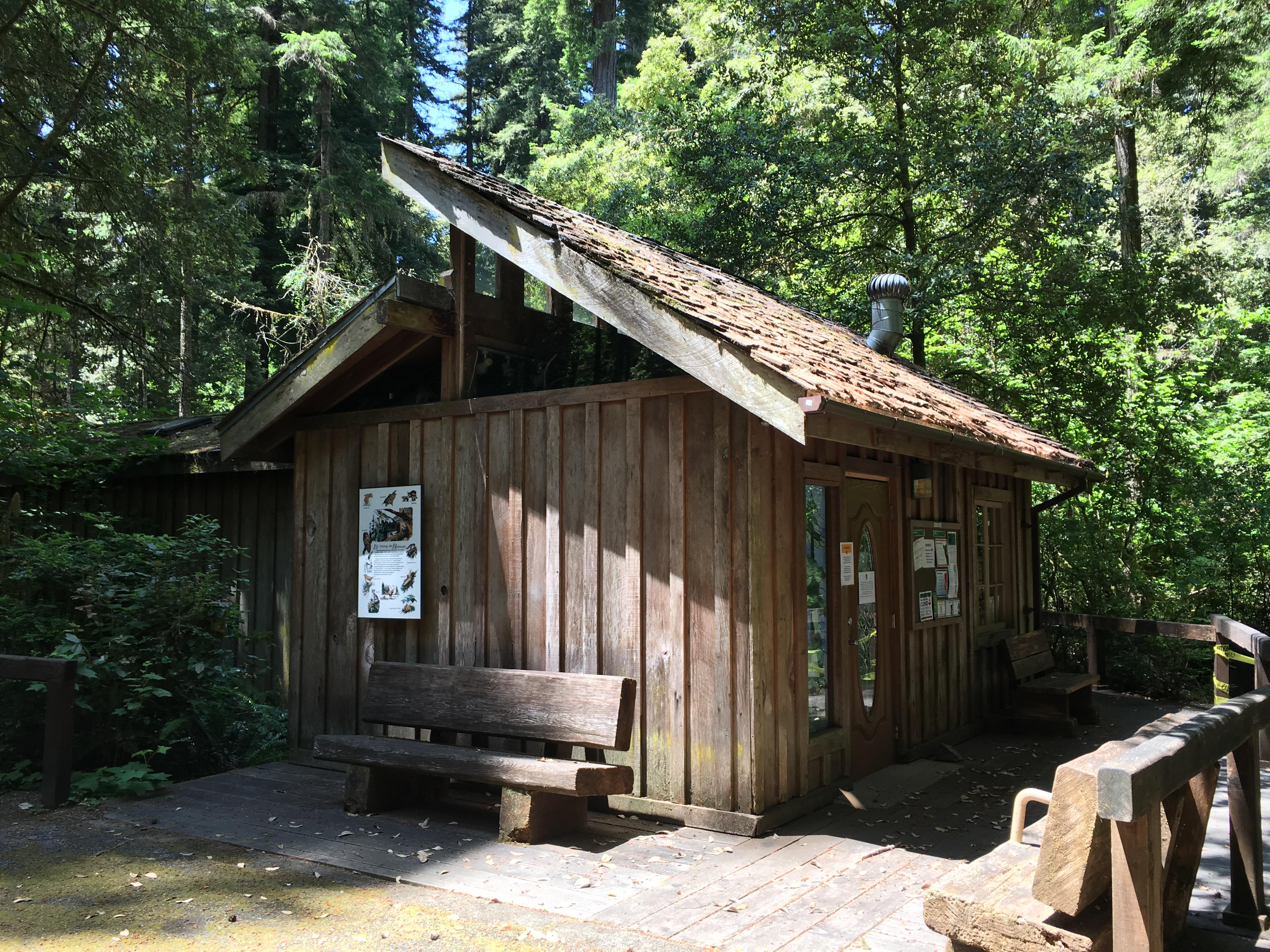 Jedediah Smith Visitor CenterFacility · not watchable
Located in the Jedediah Smith Redwoods State Park campground, near the amphitheater.
- Jennie Lakes WildernessFacility · not watchable
The 10,500-acre Jennie Lakes Wilderness is a lovely mixture of lakes, meadows, forests, and streams.
- Joe Elliot Yellow Post SitesFacility · not watchable
These two remote yellow post sites are located near the end of Forest Road 1N34 (San Sevaine Road) accessible from Lytle Creek Road.
- Johnsondale Bridge River Access Boating SiteFacility · not watchable
This site can be utilized for white water boating access, picnicking, and hiking. At about 19 miles north of Kernville via Mountain Highway 99, this site…
- Johnston Ridge Trailhead - 20W12Facility · not watchable
Open in Spring/Summer/Fall and is within the Winter seasonal closure between November 1st and April 30th The Johnston Ridge Trailhead (elev.
- Jones Valley Public Boat RampFacility · not watchable
Located on the Pit River Arm of Shasta Lake, the Jones Valley Boat Ramp is paved and has four (4) ramps for varying lake levels.
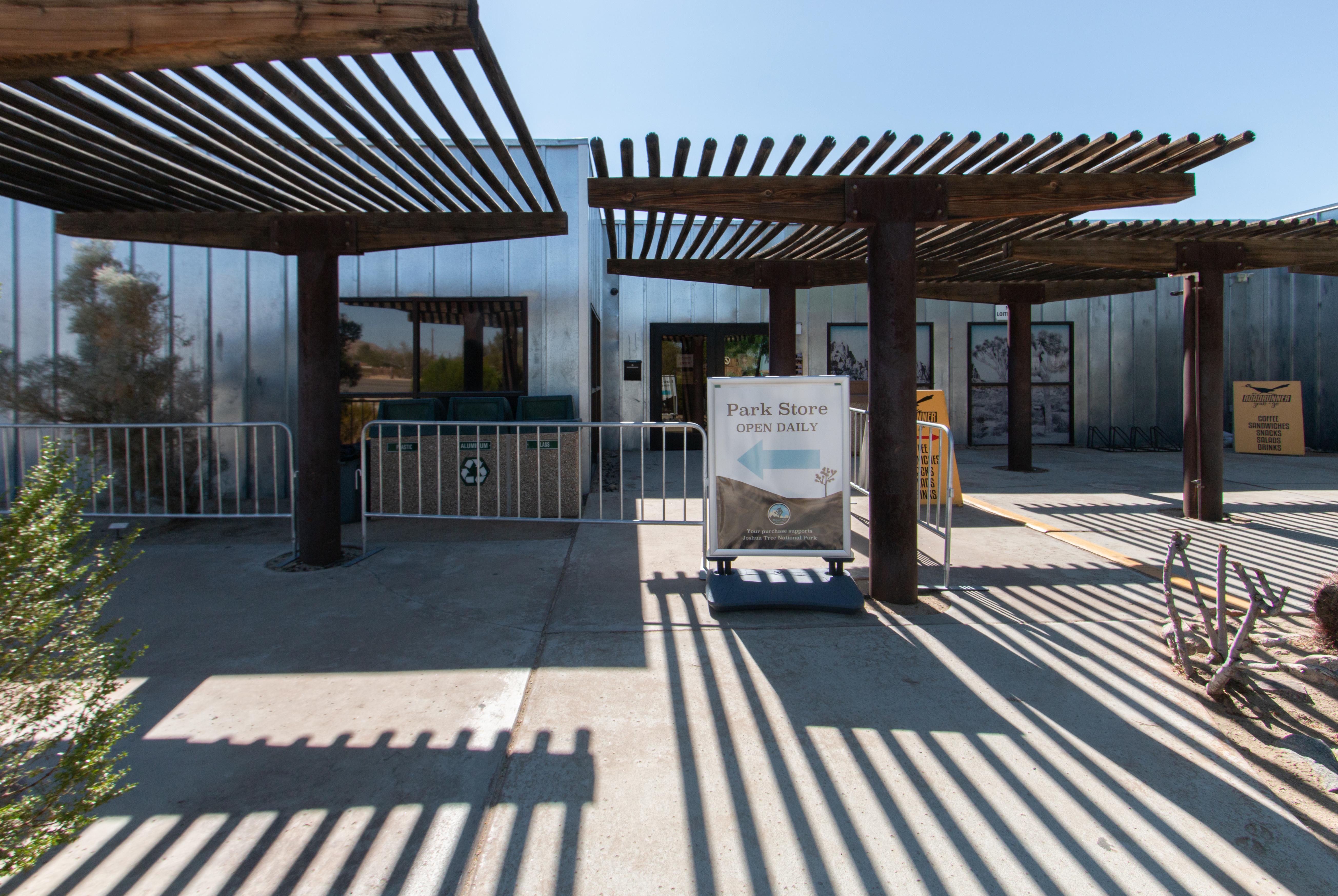 Joshua Tree Visitor CenterFacility · not watchable
Located in downtown Joshua Tree just five miles from the West Entrance, the Joshua Tree Visitor Center offers educational exhibits, a bookstore, and visitor…
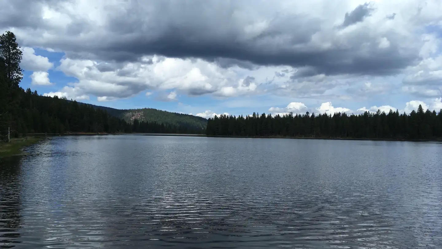 Juanita Lake CampgroundCampground · 22 sites
Overview Juanita Lake campground offers 23 campsites adjacent to Juanita Lake on the Klamath National Forest.
 Juanita Lake Group CampsiteCampground · 1 sites
Overview Juanita Lake campground offers a group campsite adjacent to Juanita Lake on the Klamath National Forest.
- Judge Davis TrailheadFacility · not watchable
The Judge Davis Trailhead provides access to the Judge Davis Trail and the Cache Creek Ridge Trail.
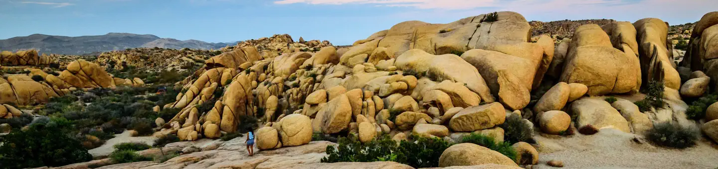 Jumbo Rocks CampgroundCampground · 119 sites
Overview Download the NPS app prior to visiting the park – trail maps and more! Jumbo Rocks Campground lies amid the huge, steep rock formations for which…
- Junction ViewFacility · not watchable
Junction View is the most popular turnout along Hwy 180. A breathtaking view of the Western Sierra, a bird-eyes view at the Junction of two forks of the Kings…
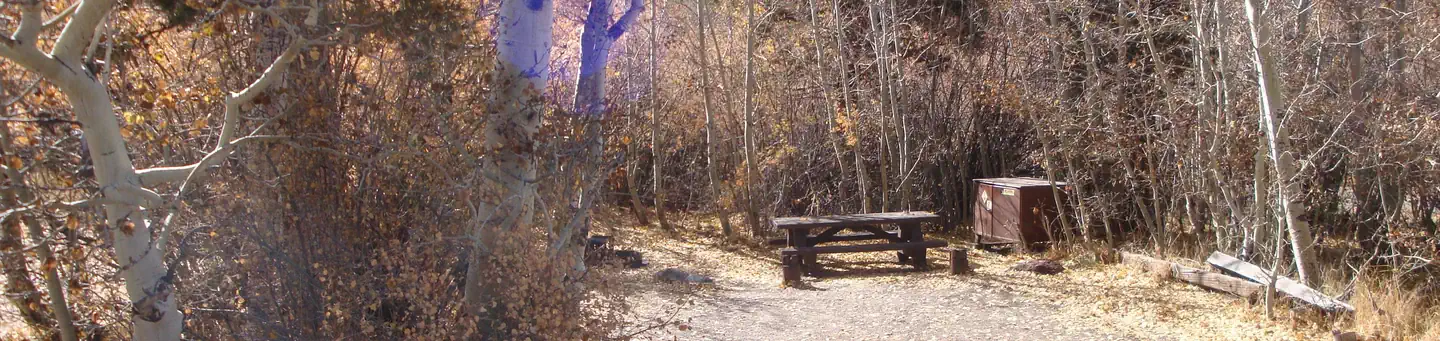 June LakeCampground · 28 sites
Overview Easy access to fishing, a marina and boat rentals make June Lake Campground a favorite spot for both families and anglers.
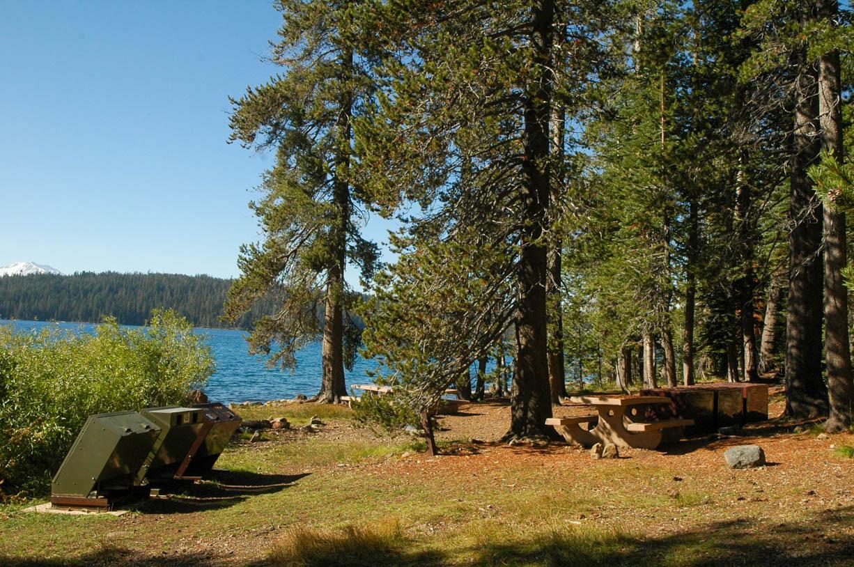 Juniper Lake CampgroundFacility · not watchable
The Juniper Lake Campground is located on the east shore of Juniper Lake via a 13-mile paved/gravel road.
 Juniper Lake GroupCampground · 2 sites
Overview Juniper Lake Group Campground (elevation 6,800 feet) is a remote, rustic facility in the southeastern part of Lassen Volcanic National Park.
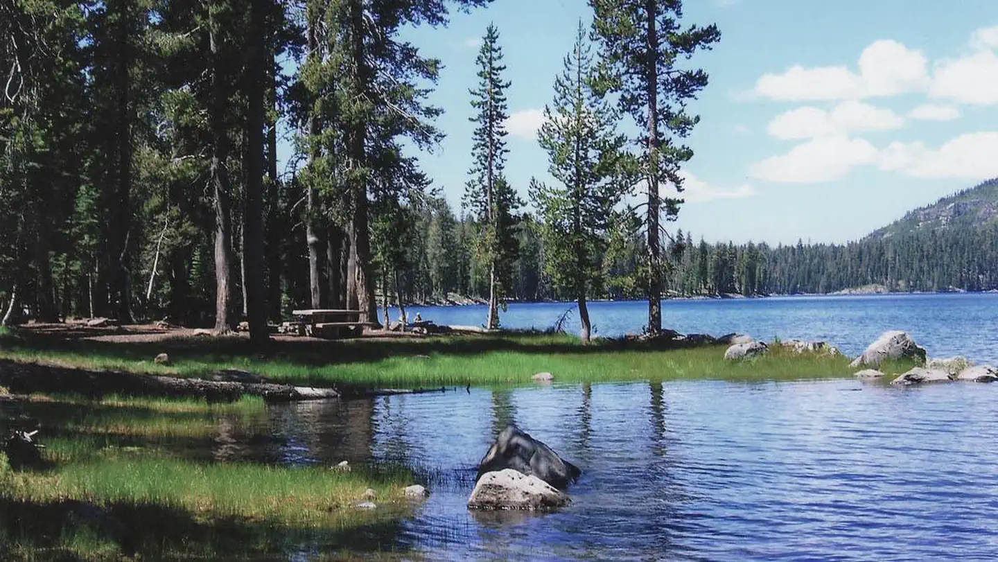 Juniper Lake Stock CorralCampground · 1 sites
Overview Juniper Lake Stock Corral (elevation 6,800 ft.) is a remote and rustic facility in the southeastern part of Lassen Volcanic National Park in northern…
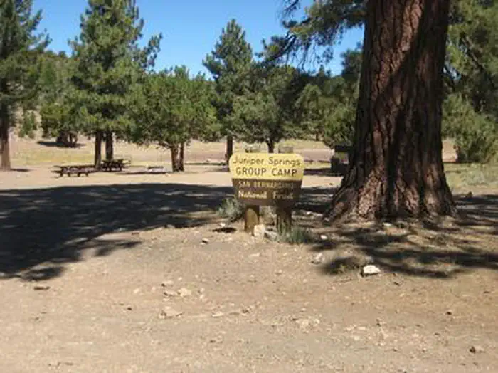 Juniper Springs Group CampCampground · 1 sites
Overview Juniper Springs Group Campground is a primitive facility located about 10 miles from Big Bear Lake, a scenic, year-round recreation destination.
- KCL CampgroundCampground · not watchable
Camping is available on a first come-first serve basis--we do not take reservations. The campground has 12 campsites, 3 with elevated tent pads.
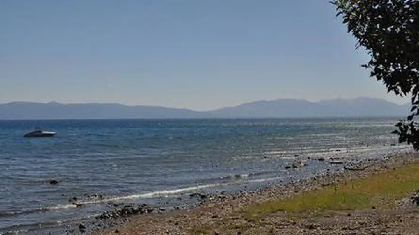 Kaspian CampgroundCampground · 9 sites
Overview Kaspian Campground is located in a mature forest of pine trees overlooking the beautiful Lake Tahoe.
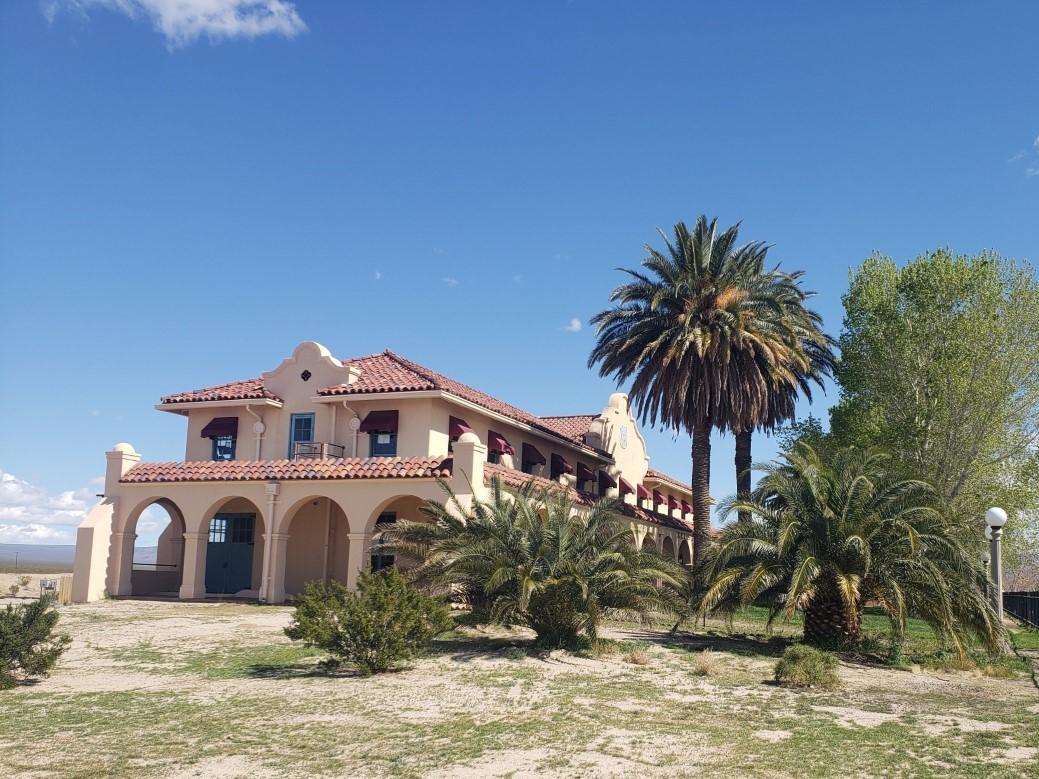 Kelso Depot Visitor CenterFacility · not watchable
Originally opened in 1924 as a train station, Kelso Depot was renovated and reopened in 2005 as a Visitor Center for Mojave National Preserve.
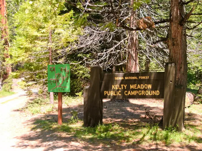 Kelty MeadowCampground · 15 sites
Overview Kelty Meadow Campground is located in a mountainous area near Bass Lake. This horse-friendly camp is shaded by pine and cedar trees alongside Kelty…
- Kennedy Meadows TrailheadFacility · not watchable
NOTE: This area was severely impacted by the 2015 Rough Fire; some sections were completely burnt out.
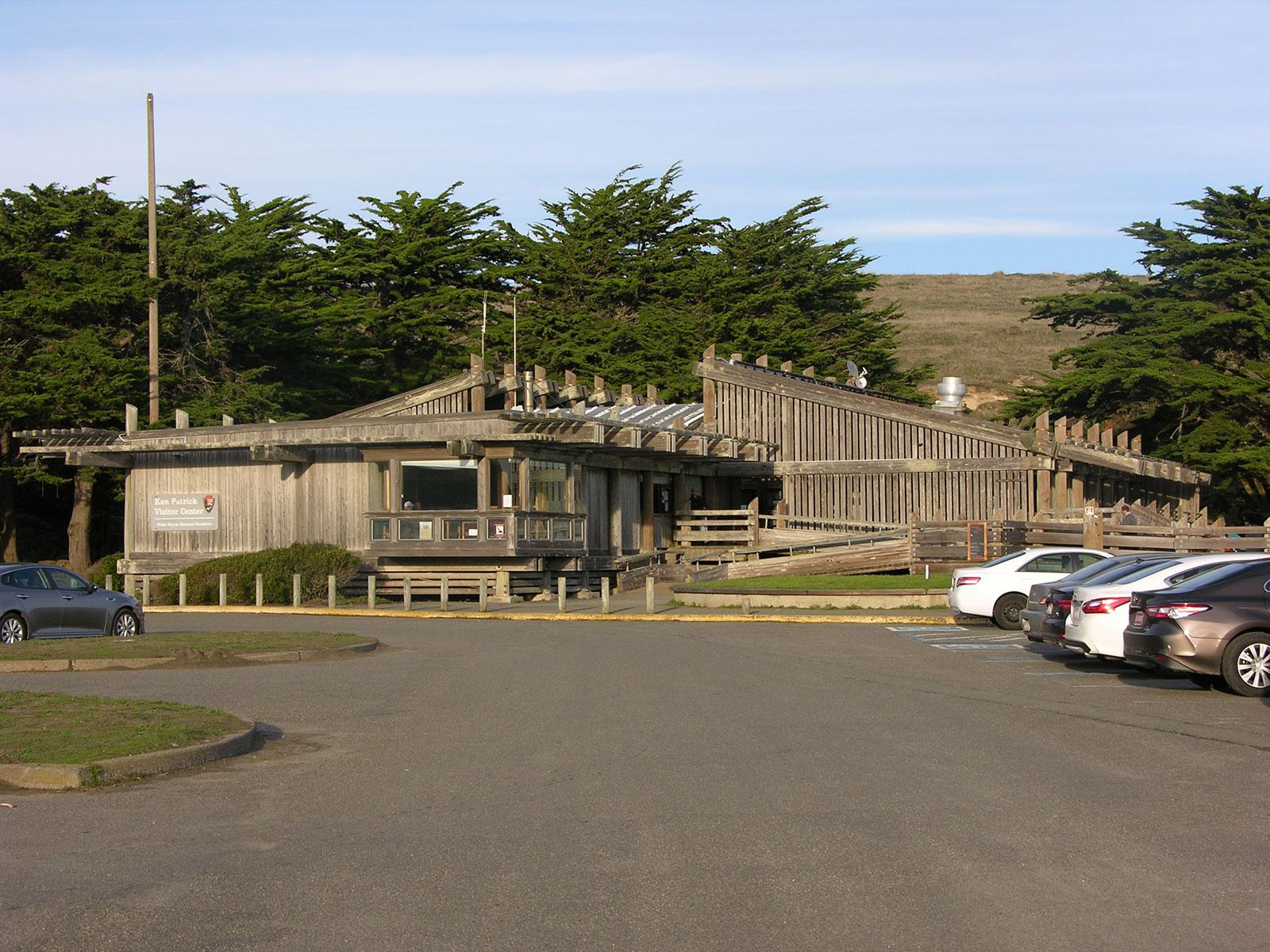 Kenneth C. Patrick Visitor CenterFacility · not watchable
Located at beautiful Drakes Beach, the Kenneth C. Patrick Visitor Center contains exhibits that focus on maritime exploration in the 1500s, marine fossils, and…
- Kern River Ranger DistrictFacility · not watchable
The Kern River Ranger District offers something for every recreationist. The district covers 663,000 acres and offers 25 campgrounds and10 developed day use…
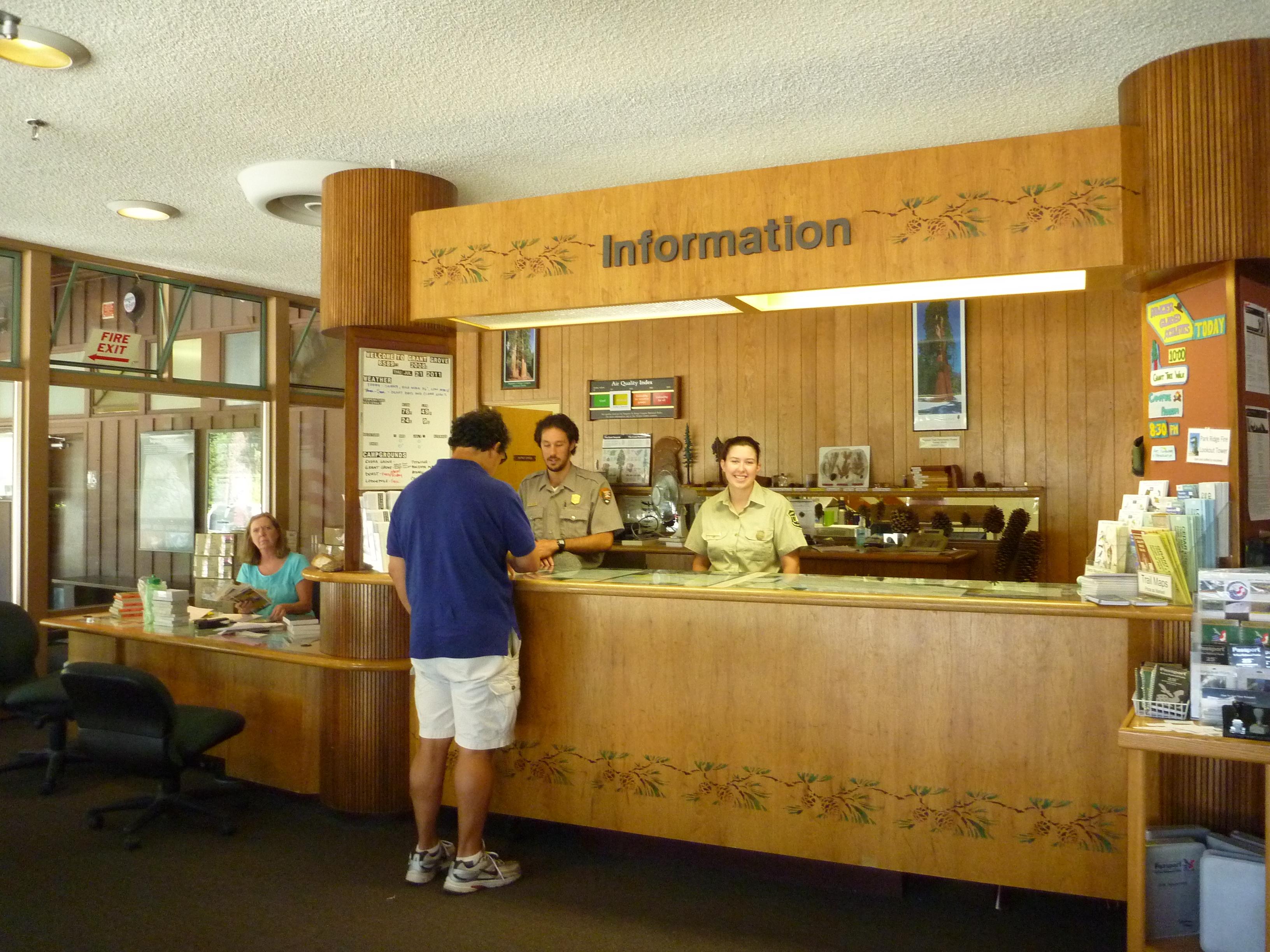 Kings Canyon Visitor CenterFacility · not watchable
The Kings Canyon Visitor Center is located in Grant Grove Village, about three miles north of the Big Stump Entrance Station, at 6,500 feet (1,980 m).
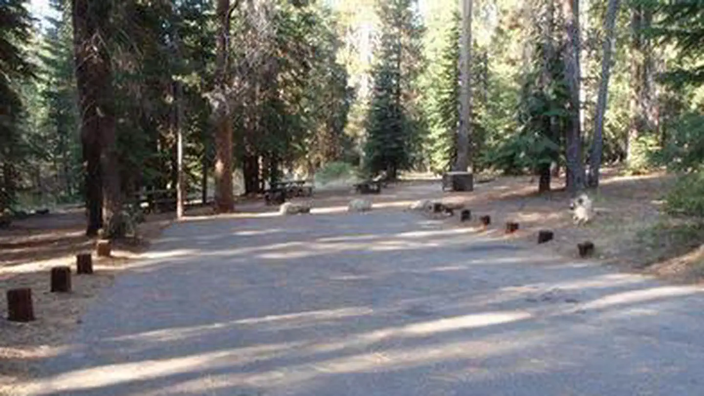 KinnikinnickCampground · 27 sites
Overview Kinnikinnick Campground is located across the street from Huntington Lake near the Kaiser Wilderness.
 Kirby Cove CampgroundCampground · 6 sites
Overview Kirby Cove is located just north of the Golden Gate Bridge at historic Battery Kirby.
 Kirch Flat Group CampgroundCampground · 1 sites
Overview At approximately 1,000 feet in elevation, Kirch Flat Campground resides on a large flat area on the river’s edge of the scenic Kings River and is…
- Kirkwood CampgroundCampground · not watchable
Recreation Opportunity Guides (ROG) - These guides contains information, maps, and directions to assist you in enjoying your trip to the Eldorado National…
- Kirkwood Mountain ResortFacility · not watchable
Kirkwood Mountain Resort is one of two ski operations on the Eldorado National Forest operating under a special use permit.
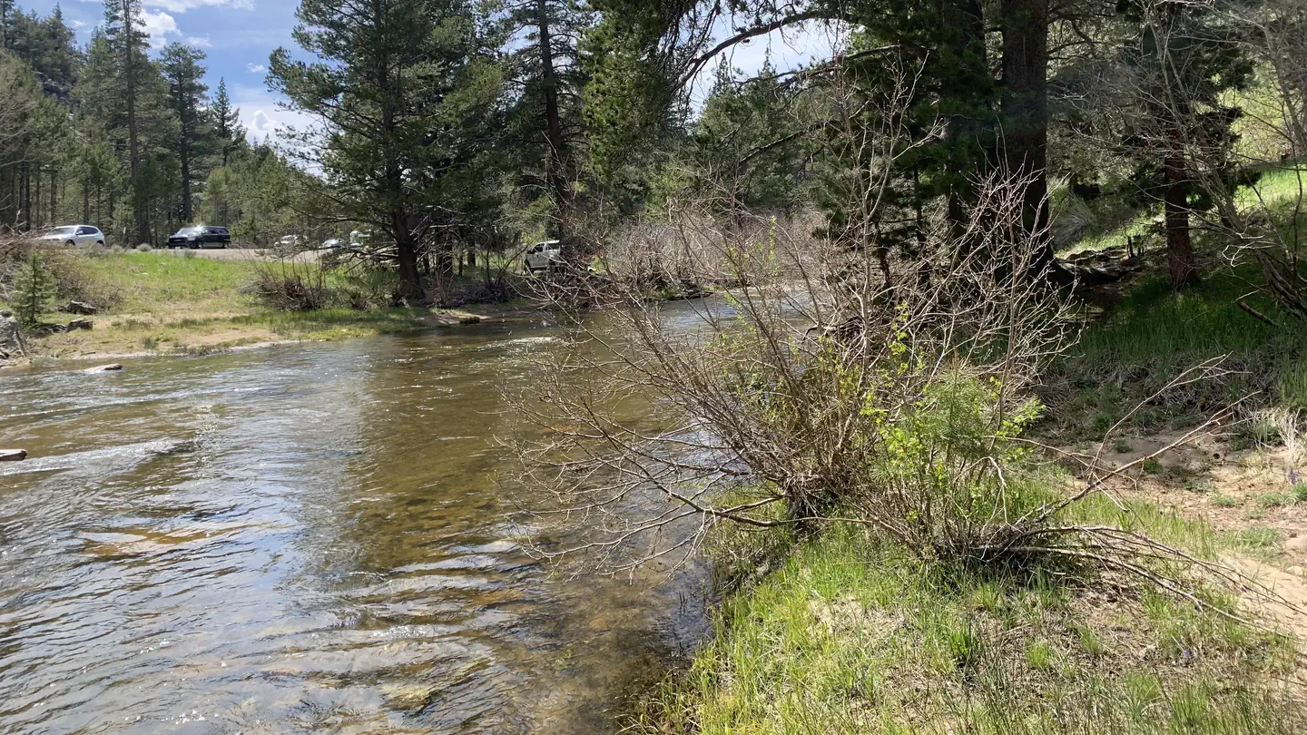 Kit Carson CampgroundCampground · 12 sites
Overview Nestled in a forest of Jeffrey pines and aspens, Kit Carson campground is perfect for tent camping and smaller RVs.
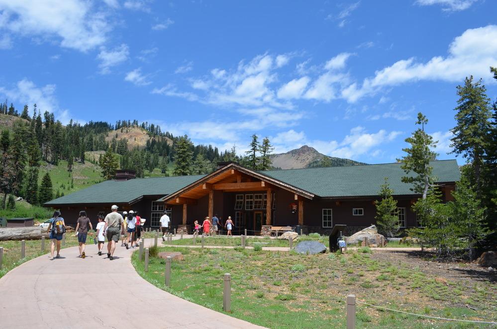 Kohm Yah-mah-nee Visitor CenterFacility · not watchable
This year-round visitor center is located one mile from the Southwest Entrance. The visitor center offers an information desk, exhibit hall, auditorium,…
- Kyburz Flat Interpretive SiteFacility · not watchable
The Kyburz Flat Interpretive Area has three historic areas within this driving and walking tour.
- Kyburz Marsh Watchable Wildlife SiteFacility · not watchable
Set amid the sagebrush and pine is this small 260 acre wetland. From spring through fall, the marsh is a stopover for many migratory species.
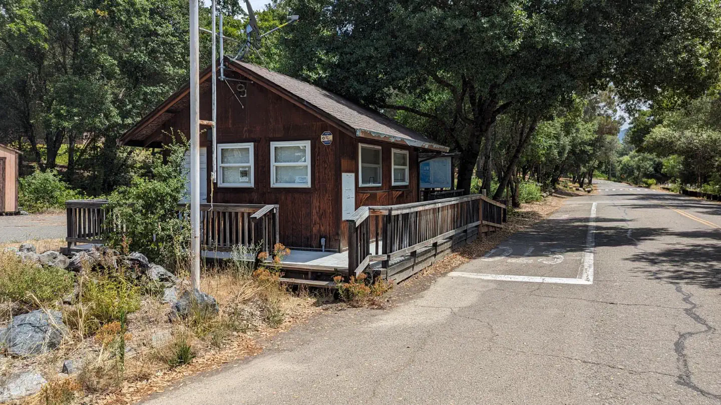 Kyen Campground and Oak Grove Day Use AreaCampground · 94 sites
Overview Kyen Campground and Oak Grove Day-Use Area are conveniently situated on Lake Mendocino, in California's Northern Coast Range where redwood forests…
- La Cumbre Peak Day UseFacility · not watchable
Top of the Santa Ynez Mountain Range, overlooking the city of Santa Barbara. Coulter pines, maple trees, manzanita, bay trees, chaparral.
- La Jolla / Ballard TrailheadFacility · not watchable
La Jolla / Ballard Trailhead is located approximately 12.5 miles from the time that one turns onto Figueroa Mountain Road off of Highway 154.
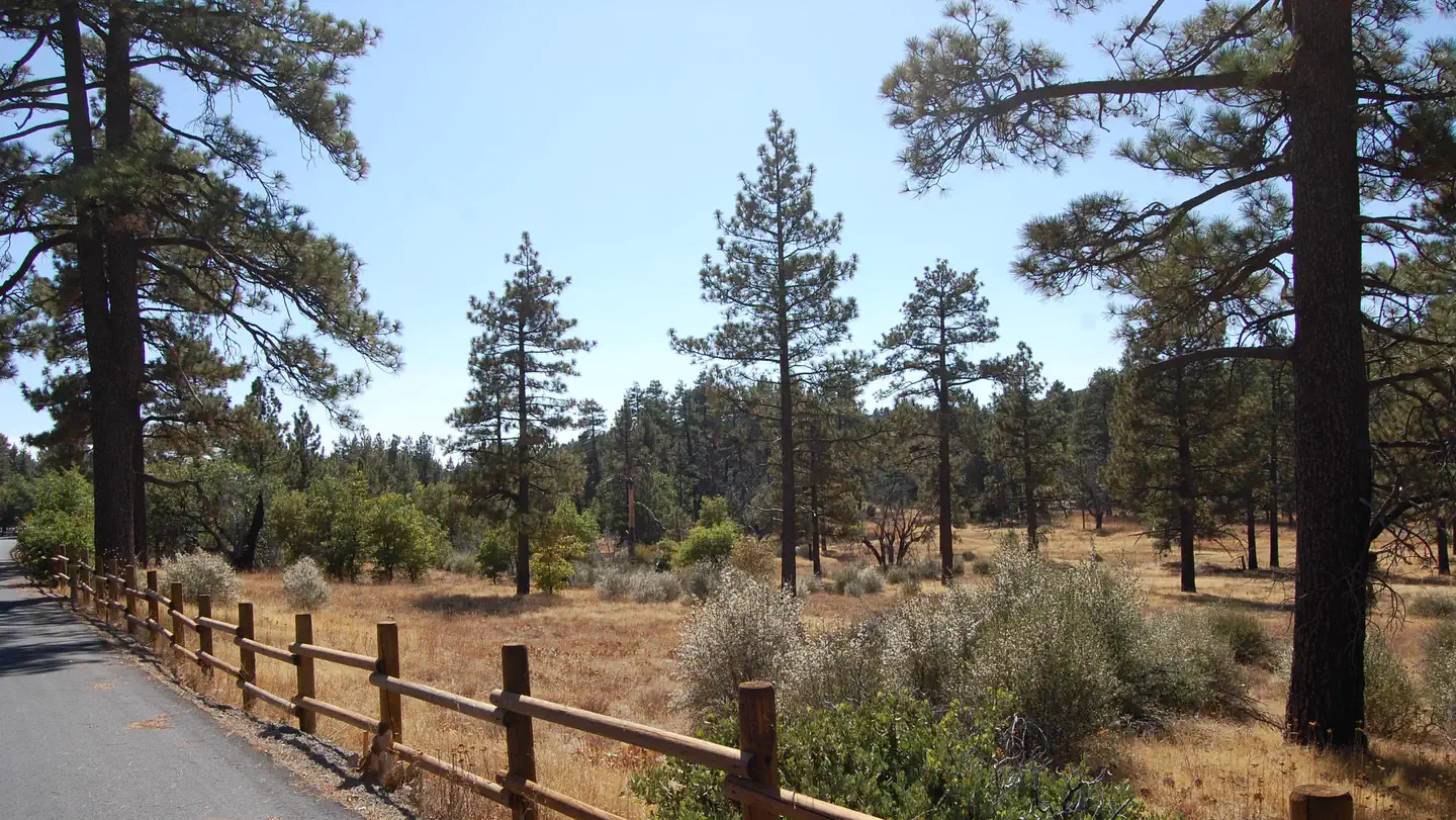 LagunaCampground · 72 sites
Overview Laguna Campground is a great mountain getaway just one hour east of San Diego, California in the Laguna Mountain Recreation Area.
- Laguna Information SiteFacility · not watchable
Laguna Mountain Visitors Center and Trailhead Distance 0.5 Pets Allowed Yes Fees Adventure Pass Required Hike/Ride Time 1 hr Difficulty Easy Best Seasons…
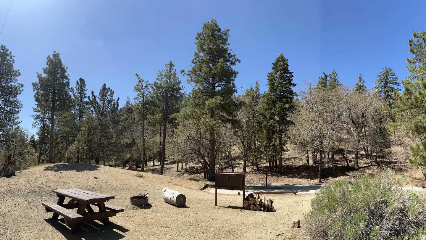 Lake CampgroundCampground · 8 sites
Overview Lake Campground offers an excellent escape from the city, just a short drive northeast of the Los Angeles metro area.
- Lake Gregory County Regional ParkFacility · not watchable
Lake Gregory Regional Park is an alpine jewel nestled in the pine forests of Crestline, California.
- Lake IsabellaFacility · not watchable
The Isabella reservoir offers fishing, boating, water sports, camping, and picnicking.
- Lake Isabella Visitor CenterFacility · not watchable
The Lake Isabella this visitor center is now located in the town of Lake Isabella at 4875 Ponderosa Drive and open Monday through Friday 8:00 am to 4:30 pm.
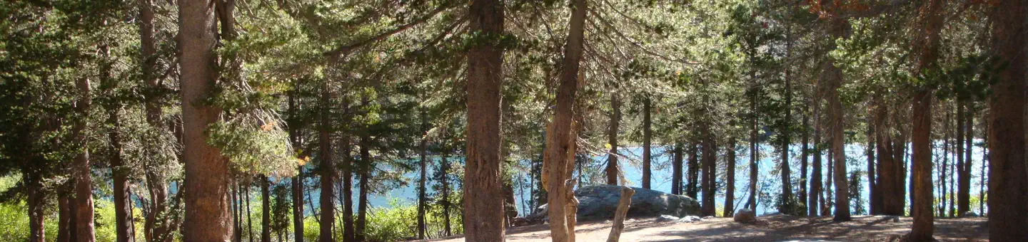 Lake Mary CampgroundCampground · 48 sites
Overview Lake Mary is the star of the Mammoth Lakes region. Of the 11 lakes in the area, Mary is the largest and most developed.
- Lake PillsburyFacility · not watchable
The largest lake on the Forest has 2,280 acres of surface area and 31 miles of shoreline.
- Lake Silverwood Scenic OverlookFacility · not watchable
Located on State Highway 138 east of State Highway 173(part of the Rim of the World Scenic Byway).
- Lake Valley TrailheadFacility · not watchable
This trailhead provides access to Lake Valley and Camp Irene. It is 5.1 miles to Camp Irene. Very steep trail with many slopes and switchbacks.
- Lake of the WoodsFacility · not watchable
Lake of the Woods is a nice small lake. It can be quite popular especially on weekends.
 Lakes BasinCampground · 11 sites
Overview Lakes Basin Campground (6,445 feet) is situated in the ruins of an old lodge, Lakes Center Lodge, built in 1912 and removed in the late 1970's.
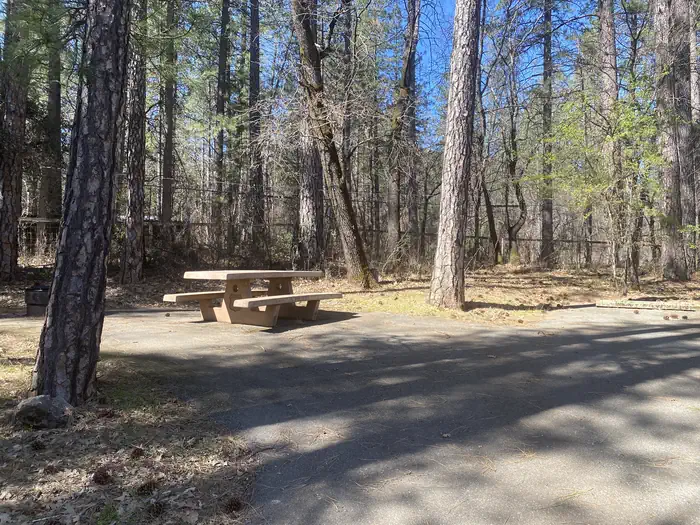 Lakeshore EastCampground · 25 sites
Overview Lakeshore East sits along the shore of the Sacramento Arm of Shasta Lake.
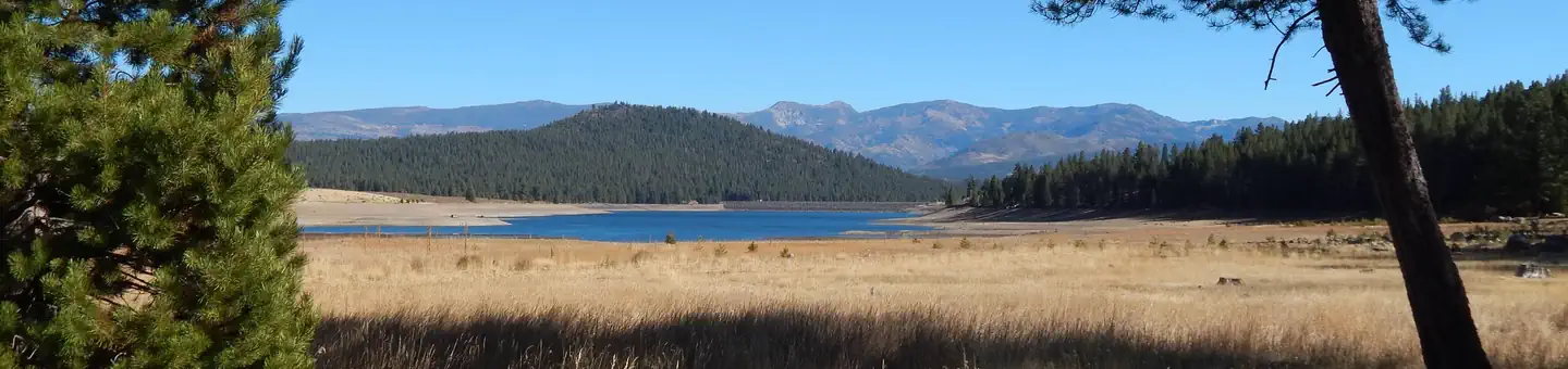 Lakeside (Truckee)Campground · 42 sites
Overview Lakeside Campground is located on the picturesque Prosser Reservoir in the Tahoe National Forest, just 10 minutes north of Truckee.
- Lakeview Point Scenic OverlookFacility · not watchable
Located just above 7,100 feet on State Highway 18 east of the Snow Valley ski area. This scenic overlook offers motorists their first view of Big Bear Lake.
- Lakin DamFacility · not watchable
This day use area is a popular site for viewing all sorts of wildlife as well as fishing. There is a wooden deck over the water with handicap access.
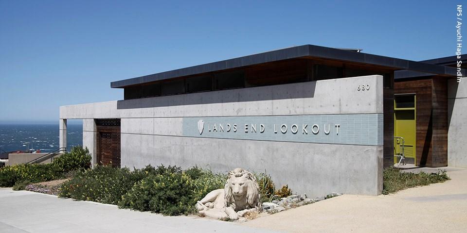 Lands End Lookout Visitor CenterFacility · not watchable
Facilities include visitor information and gift shop. Exhibits: Indoor exhibits and videos on the natural and cultural history of the Lands End area, Sutro…
- Lassen Creek CampgroundCampground · not watchable
Lassen is a lovely little campground near the obsidian mines. It is currently under discussion for decommissioning.
 Lava Beds National Monument ToursTickets
Overview: Lava Beds National Monument is a place where you can smell the sage and juniper, hear the birds, crawl beneath the surface of the earth, hike through…
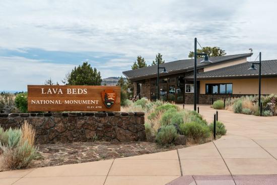 Lava Beds Visitor CenterFacility · not watchable
Lava Beds is home to one visitor center located at the south end of the park, near cave loop road.
- Legacy CampgroundCampground · not watchable
Legacy is a developed campground with 14 sites; maximum of 8 people is allowed per single site; 16 people maximum are allowed per double site.
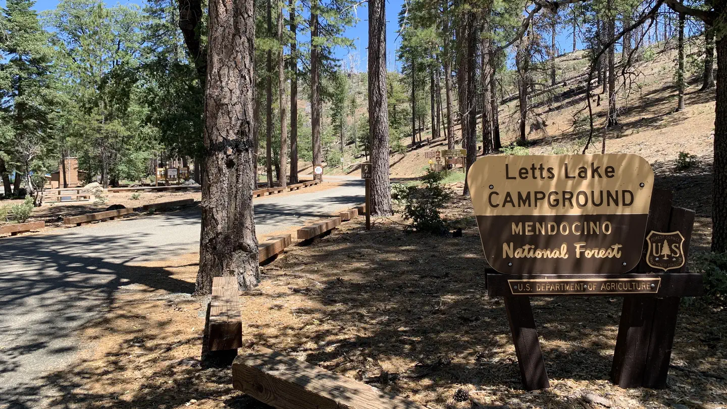 Letts Lake CampgroundCampground · 42 sites
Overview This location is available on a first-come, first-served basis only. Visitors are required to physically arrive at the campground to purchase and…
- Letts Lake CampgroundCampground · not watchable
The main feature of the area is a 35-acre lake for non-motorized vessels, trout fishing and swimming. A one-mile trail leads along the lake shore.
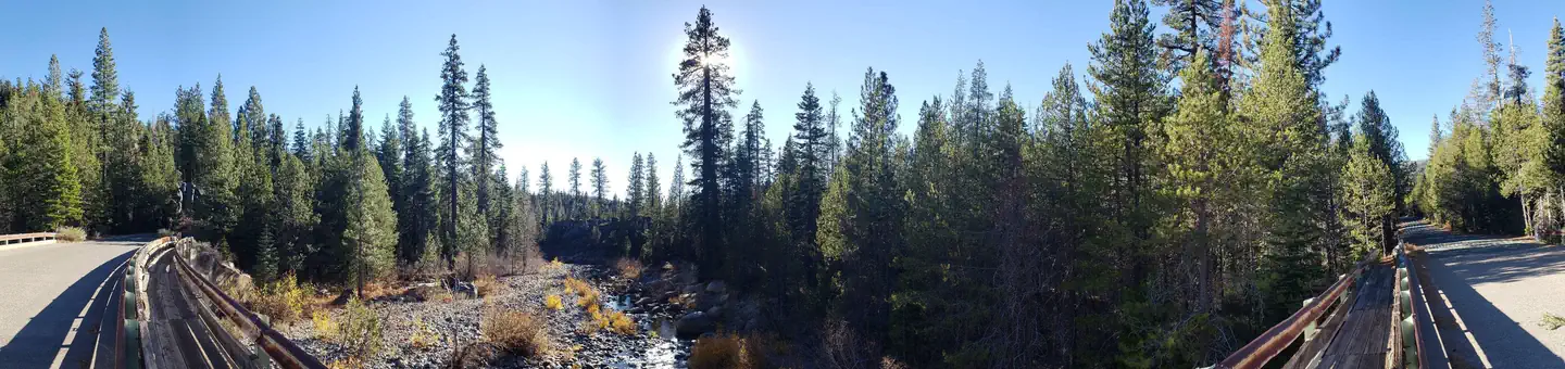 LewisCampground · 38 sites
Overview Lewis Campground is located on French Meadows Reservoir in the Tahoe National Forest, 40 miles east Foresthill.
- Lewiston LakeFacility · not watchable
Species Present: Rainbow, Brown and Brook Trout. Seasons: Year around Access: From Weaverville, take Highway 3 to Rush Creek road, turn right.
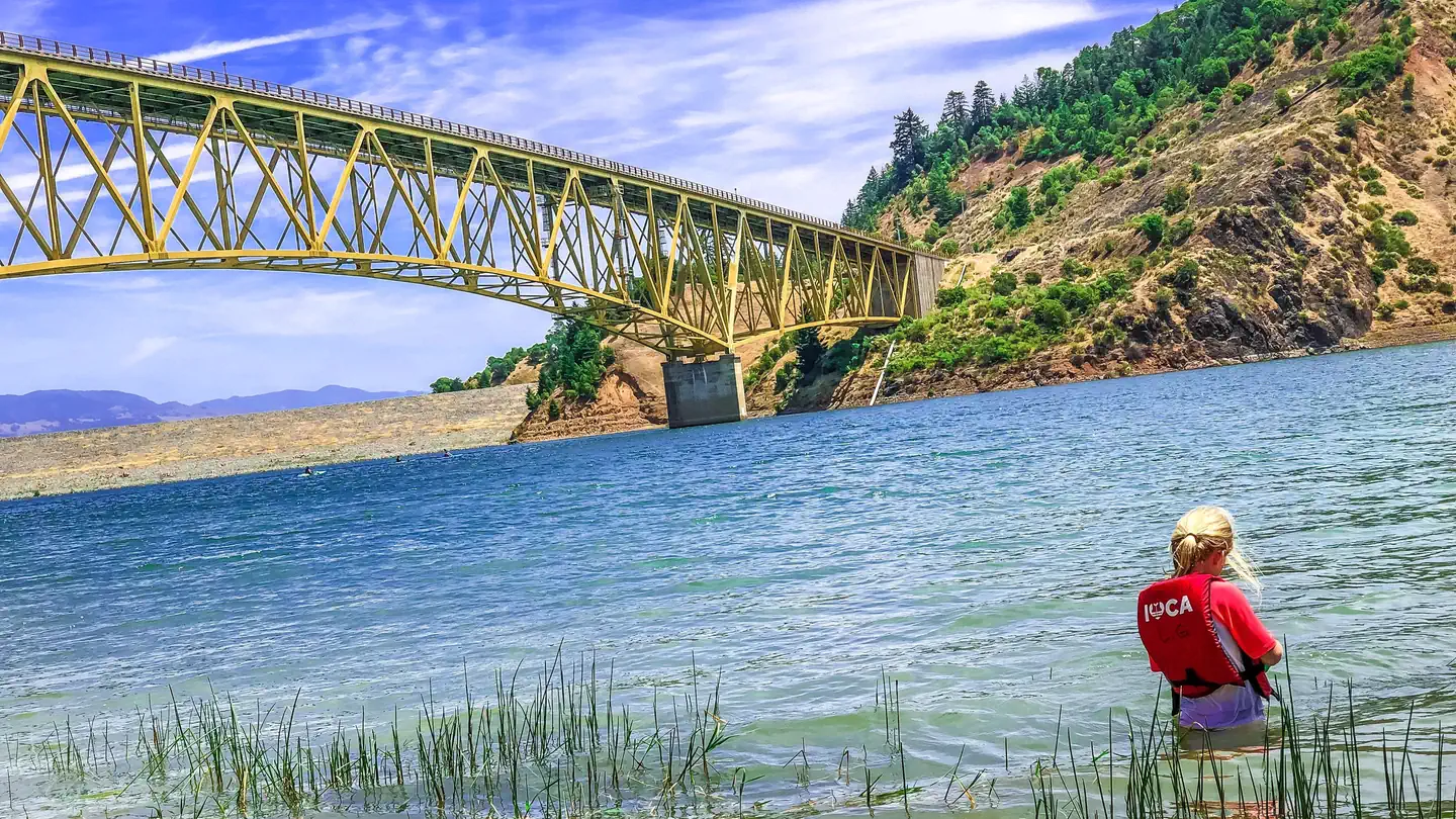 Liberty Glen (Lake Sonoma)Campground · 99 sites
Overview Liberty Glen Campground is located at the top of Rockpile Road overlooking Lake Sonoma.
- Lighting Gulch Recreational Shooting SitesFacility · not watchable
In the San Bernardino National Forest visitors can only target shoot in designated and signed areas and only at certain times, due to fire danger rating.
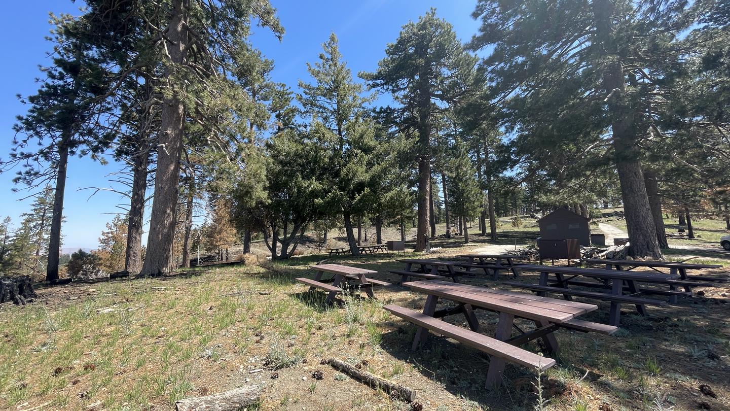 Lightning Point Group CampgroundCampground · 6 sites
Overview Lightning Point Campground sits at an elevation of 6,100 feet, about 25 miles southeast of Palmdale and roughly 35 miles north of the San Fernando…
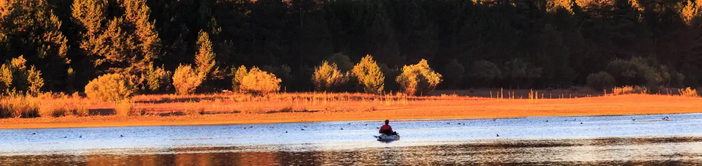 Lightning TreeCampground · 39 sites
Overview Lightning Tree Campground (5,800 feet) is one of three family-friendly campgrounds located in the Lake Davis Recreation Area.
- Lily Lake Boating SiteFacility · not watchable
Lily Lake is picturesque and is ideal for that kayak or canoe. No boat motors of any kind are allowed on Lily Lake. This is a "day use" only facility.
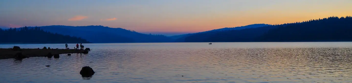 Little Beaver a CampgroundCampground · 119 sites
Overview Little Beaver Campground is located on the south-eastern shore of Little Grass Valley Reservoir, approximately four miles from the town of La Porte,…
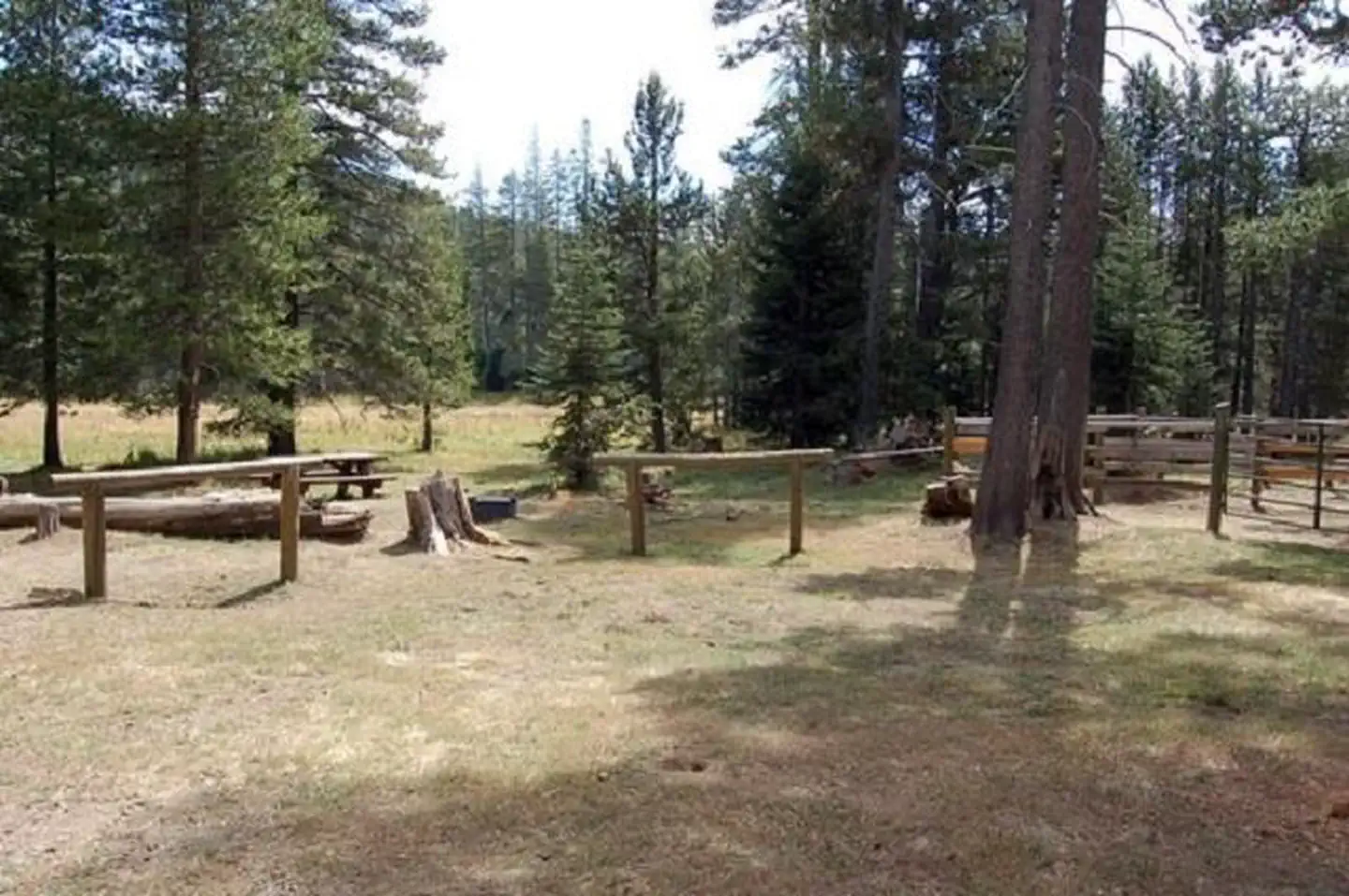 Little Lasier Meadows CampgroundCampground · 11 sites
Overview Little Lasier Meadows Campground is a horse camp near scenic Jackson Meadow Reservoir, approximately 32 miles north of Truckee, in the Tahoe National…
 Little MT. Hoffman LookoutCampground · 1 sites
Overview Little Mt. Hoffman Lookout was constructed in the 1920s and was used by the Forest Service on a regular basis until 1978.
- Little Mutau Trailhead 20W10Facility · not watchable
Open in Spring/Summer/Fall and is within the Winter seasonal closure between November 1st and April 30th Little Mutau Trail (20W10) Difficulty: moderate to…
- Little Rock Picnic AreaFacility · not watchable
A short distance away, you have the South Fork of the Trinity River and the swimming is great!
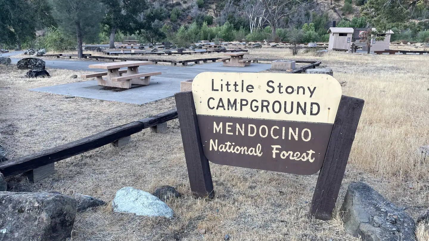 Little StonyCampground · 1 sites
Overview This location is available on a first-come, first-served basis only. Visitors are required to physically arrive at the campground to purchase and…
- Little Truckee Summit OHV/Snowmobile Staging AreaFacility · not watchable
Easy to More Difficult trails depending on length and trail selected, Terrain: Generally comprised of gentle slopes. Use: Heavy snowmobile use.
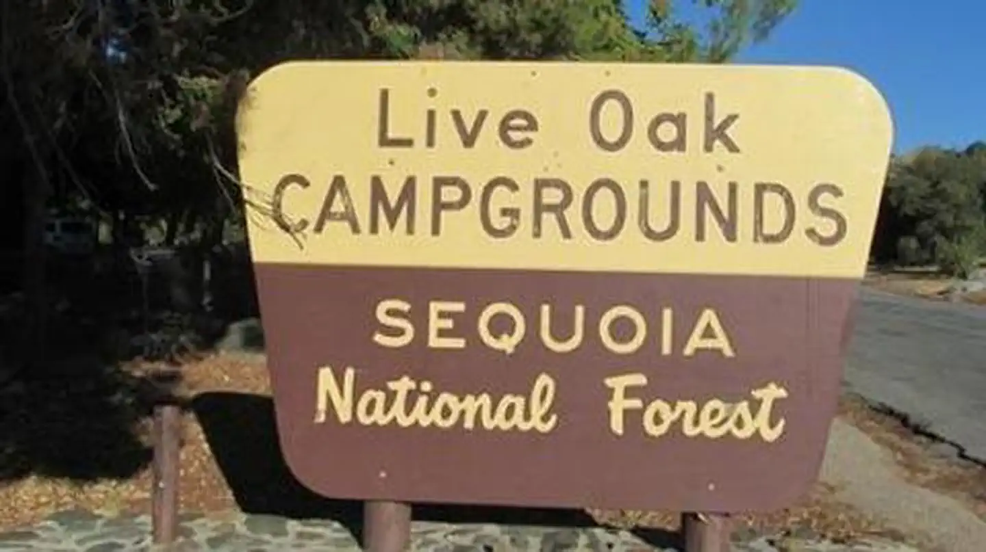 Live OakCampground · 1 sites
Overview Reservations not being accepted. Live Oak Campground is located across the road from Lake Isabella, a popular destination for boating, windsurfing,…
- Live Oak Picnic SiteFacility · not watchable
This is a Consessionaire managed day use area. Managed by California Land Management, it is located approximately 19 miles northeast of Bakersfield along State…
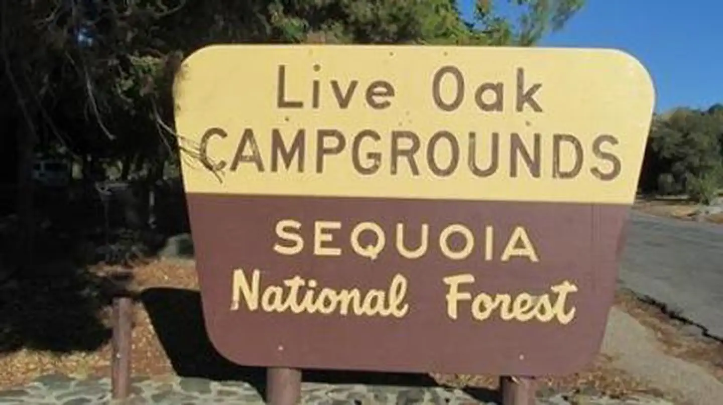 Live Oak SouthCampground · 90 sites
Overview Reservations not being accepted. Live Oak South Campground is located across the road from Lake Isabella, a popular destination for boating,…
- Livingston Stone National Fish HatcheryFacility · not watchable
Livingston Stone National Fish Hatchery was established in 1997 and located at the base of Shasta Dam.
 Lobo GroupCampground · 2 sites
Overview The Lobo Group Campground is nestled in the beautiful Barton Flats area of the San Bernardino Mountains.
 Lodgepole Campground-Sequoia and Kings Canyon National ParkCampground · 201 sites
Overview Lodgepole Campground is located in the breathtaking Sequoia and Kings Canyon National Parks in central California's rugged Sierra Nevada range.
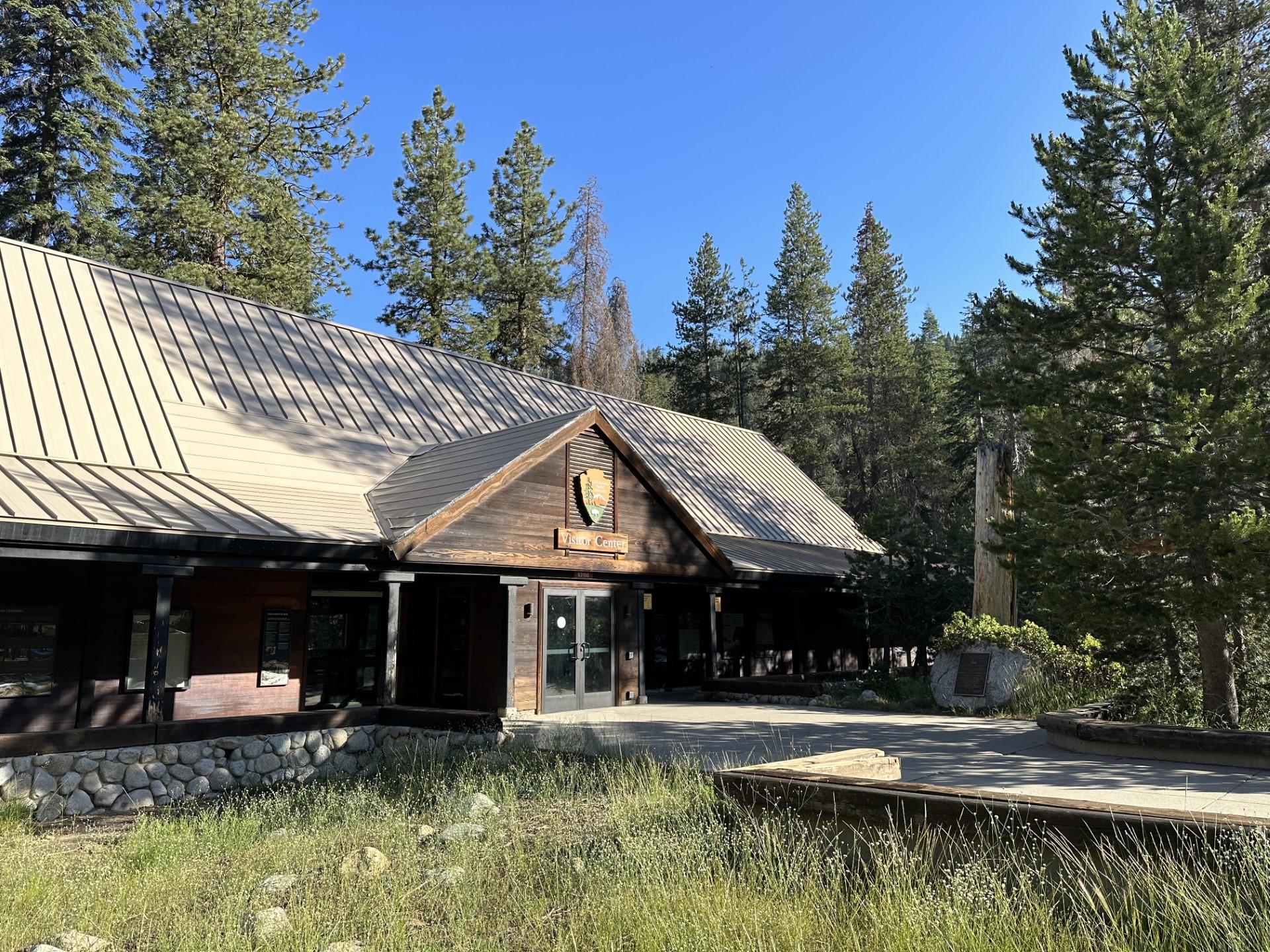 Lodgepole Visitor CenterFacility · not watchable
Renovated in 2023, the Lodgepole Visitor Center is located in the coniferous forests at an elevation of 6,700 feet (2,040 m), about 21 miles north of the Ash…
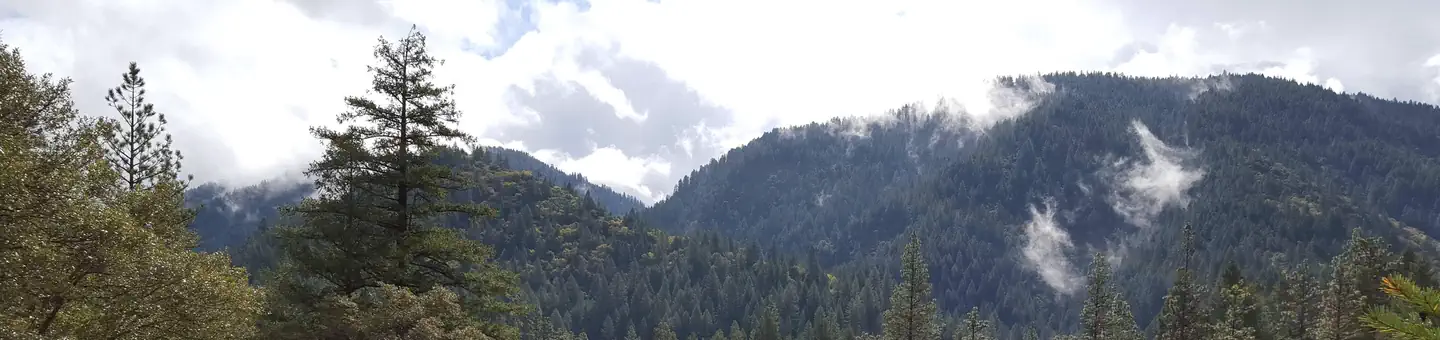 LoganvilleCampground · 19 sites
Overview Loganville Campground is located along the North Yuba River, off of Highway 49 about 1.5 miles west of Sierra City.
 Logger CampgroundCampground · 202 sites
Overview Logger Campground sits on beautiful Stampede Reservoir on the Tahoe National Forest, 30 minutes from Truckee, Calif.
 Lone PineCampground · 28 sites
Overview Lone Pine Campground is located near the base of Mt. Whitney, the highest peak in the continental United States, offering unparalleled views of the…
 Lone Rock (Ca)Campground · 85 sites
Overview Lone Rock Campground is one of three in the Antelope Lake Recreation Area.
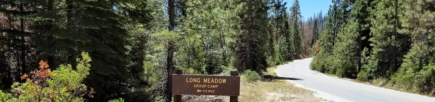 Long Meadow GroupCampground · 1 sites
Overview Long Meadow Group Campground is a remote facility within Sequoia National Forest, in the southern portion of Giant Sequoia National Monument.
 Long Point (Ca)Campground · 35 sites
Overview Long Point Campground is one of three in the Antelope Lake Recreation Area.
- Long Valley CampgroundCampground · not watchable
Overview Long Valley Campground is a remote, primitive campground located within Chimney Peak Recreation Area and is cherry stemmed out of Domelands…
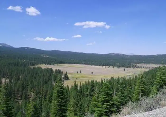 Lookout CampgroundCampground · 19 sites
Overview Lookout Campground is located on the California/Nevada border just west of Reno, Nevada. It sits at an elevation of 6,770 feet in a large aspen grove.
- Lookout Peak TrailheadFacility · not watchable
Lookout Peak is on the border of Sequoia National Forest and Kings Canyon National Park.
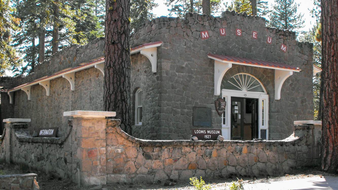 Loomis MuseumFacility · not watchable
The historic museum is located one mile from the northwest entrance of the park near Manzanita Lake.
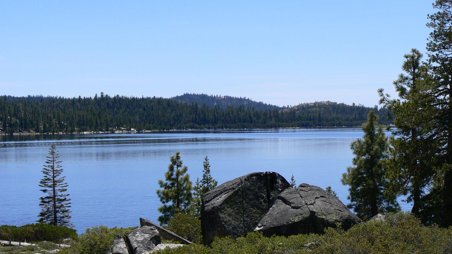 Loon LakeCampground · 60 sites
Overview Loon Lake Campground is situated on the south shores of Loon Lake, and attracts many visitors with its variety of campsites and beautiful waterfront…
 Loon Lake ChaletCampground · 1 sites
Overview Loon Lake Chalet is situated next to Loon Lake in a granite bowl, and offers year-round, drive-to access for excellent backcountry skiing and hiking.
- Los Angeles Gateway DistrictFacility · not watchable
The Los Angeles Gateway District Office is located at 12371 N. Little Tujunga Canyon Road, Sylmar, CA 91342.
 Los PrietosCampground · 37 sites
Overview Los Prietos Campground is situated in the Los Padres National Forest and provides access to a variety of outdoor adventures, including water-related…
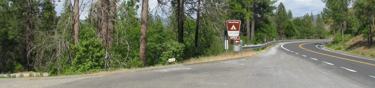 Lost ClaimCampground · 10 sites
Overview Lost Claim attracts families and friends with its convenient location, just 15 miles from the northwest Yosemite National Park boundary in northern…
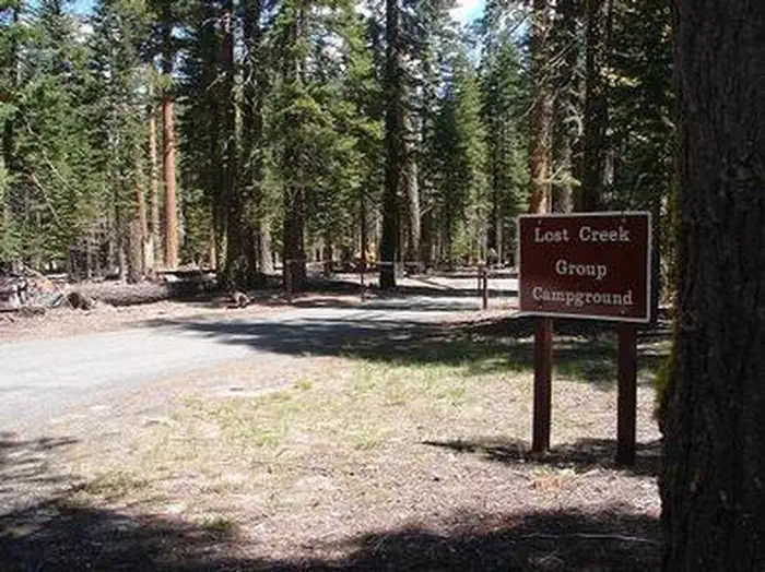 Lost Creek GroupCampground · 8 sites
Overview Lost Creek Group Campground (elevation 5,700 ft.) is approximately five miles south of Manzanita Lake, and close to the Lost Creek and Devastated…
- Lost Lake Day Use AreaFacility · not watchable
Lost Lake is a unique natural lake created by the San Andreas Fault and is fed by deep natural springs.
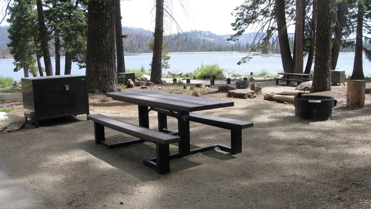 Lower Billy CreekCampground · 10 sites
Overview Lower Billy Creek Campground is located on Huntington Lake near the Kaiser Wilderness.
 Lower Little TruckeeCampground · 15 sites
Overview Lower Little Truckee Campground is located along the Little Truckee River on Highway 89, about 11 miles north of Truckee.
- Lower Manzana TrailheadFacility · not watchable
The Lower Manzana Trailhead is located on Sunset Valley Road, approximately 1.5 miles past Davy Brown Campground.
- Lower Oso Day Use Picnic AreaFacility · not watchable
The Lower Oso Day Use Pinci Area is located off Paradise Road just across the first Santa Ynez River crossing ford.
 Lower Pines CampgroundCampground · 74 sites
Overview Lower Pines campsites are available to reserve up to five months in advance on the 15th of each month at 7:00 a.m. PST.
- Lower Richbar Picnic SiteFacility · not watchable
This is a consessionaire managed day use area. Managed by California Land Management, it is located approximately 20 miles northeast of Bakersfield along State…
- Lower San Antonio Day UseFacility · not watchable
Located near Mt. San Antonio aka Mt. Baldy, this picnic area offers visitors a chance enjoy the great outdoors underneath the tallest peak in the Angeles…
- Lower Trinity Ranger DistrictFacility · not watchable
The Lower Trinity Ranger District is bisected by State Highway 299, the main travel route in Northwestern California to reach the Northcoast.
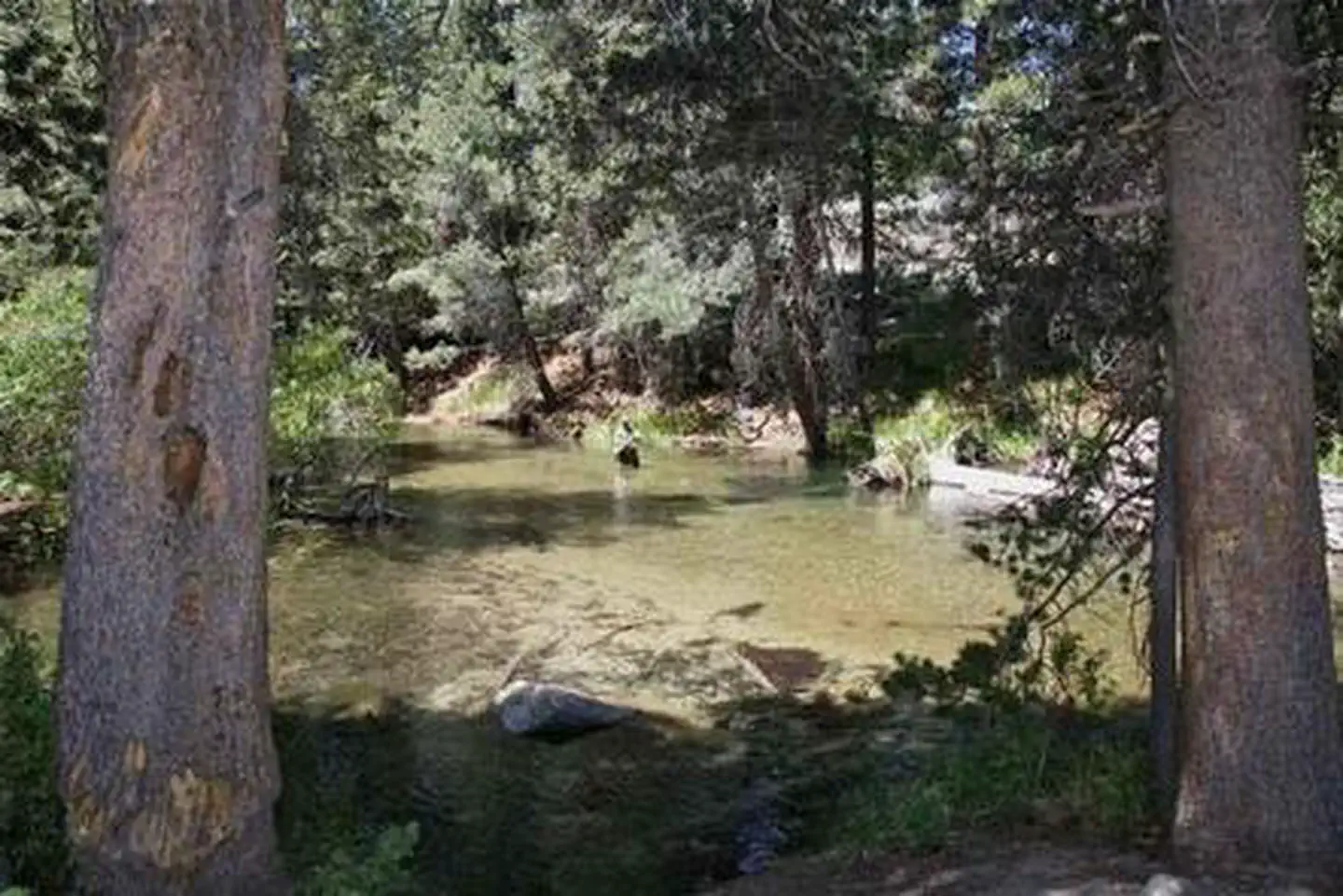 Lower Twin Lakes AT BridgeportCampground · 15 sites
Overview Lower Twin Lakes Campground is located just 10 miles from Bridgeport, California.
- Lumsden Bridge CampgroundCampground · not watchable
Lumsden Bridge Campground is on a low elevation pine and oak forested site on the Tuolumne Wild & Scenic River, approximately one mile from South Fork…
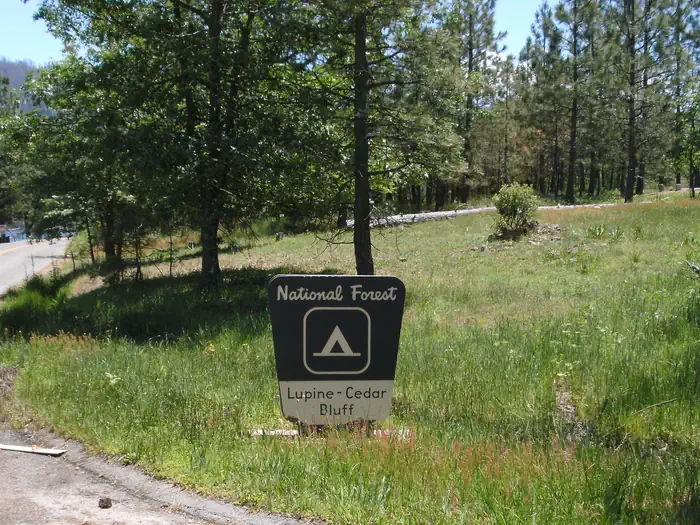 LupineCampground · 51 sites
Overview Lupine Campground is located next to Bass Lake. Cedar Bluff Campground is adjacent to Lupine.
- Lyons Reservoir (PG&E) Day UseFacility · not watchable
Fishing and picnic area on the Pacific Gas and Electric Reservoir. Hiking and Horseback riding on designated trails on the former Sugar Pine Rail Road Grade…
- Lytle Creek Firing Line - Shooting RangeFacility · not watchable
Lytle Creek Firing Line operates under permit from the U.S. Forest Service. It is a developed shooting site offering year-round target shooting for visitors.
 Mad River CampgroundCampground · 35 sites
Overview Mad River Campground is located on banks of its namesake river, about two miles south of Ruth Lake in the thickly forested mountains of northern…
- Mad River Ranger DistrictFacility · not watchable
The Mad River Ranger District is located on Highway 36 approximately 50 miles east of Highway 101 and the Eureka/Arcata area and 100 miles west of Interstate 5…
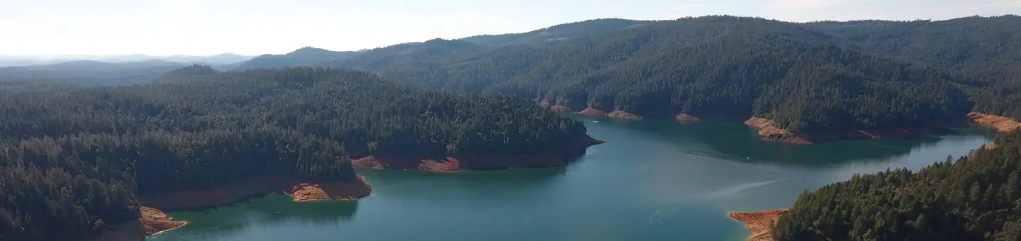 Madrone Cove Boat-in CampgroundCampground · 10 sites
Overview Bullards Bar Reservoir is located on the North Yuba River at an elevation of 2000 feet.
 Mammoth PoolCampground · 51 sites
Overview Mammoth Pool will be closed until further notice due to a massive hazard tree removal. Mammoth Pool Campground is located half a mile from the…
- Mammoth Pool Recreation AreaFacility · not watchable
Along the west section of the Sierra Vista Scenic Byway the road takes you into the “Heart of the Sierra”, with views of the Sierra peaks all the way up to the…
- Manzanita Day Use, Swim Area Picnic SiteFacility · not watchable
Day use area at Sugar Pine Reservoir. Picnic tables and BBQ grills. The Foresthill Public Utility District (FPUD) will transfer water from Sugar Pine Reservoir…
 Manzanita LakeCampground · 170 sites
Overview Manzanita Lake Campground (elevation 5,900 ft.) is the largest campground in Lassen Volcanic National Park.
 Manzanita Lake Camping Cabins (CA)Campground · 22 sites
Overview Situated near the northwest entrance to the park, the rustic Manzanita Lake Camping Cabins offer convenience and comfort in the scenic setting of…
 Manzanita Lake Group CampgroundCampground · 5 sites
Overview Manzanita Lake Group Campground is located at the west end of Loop B in Manzanita Lake Campground, the largest campground in Lassen Volcanic National…
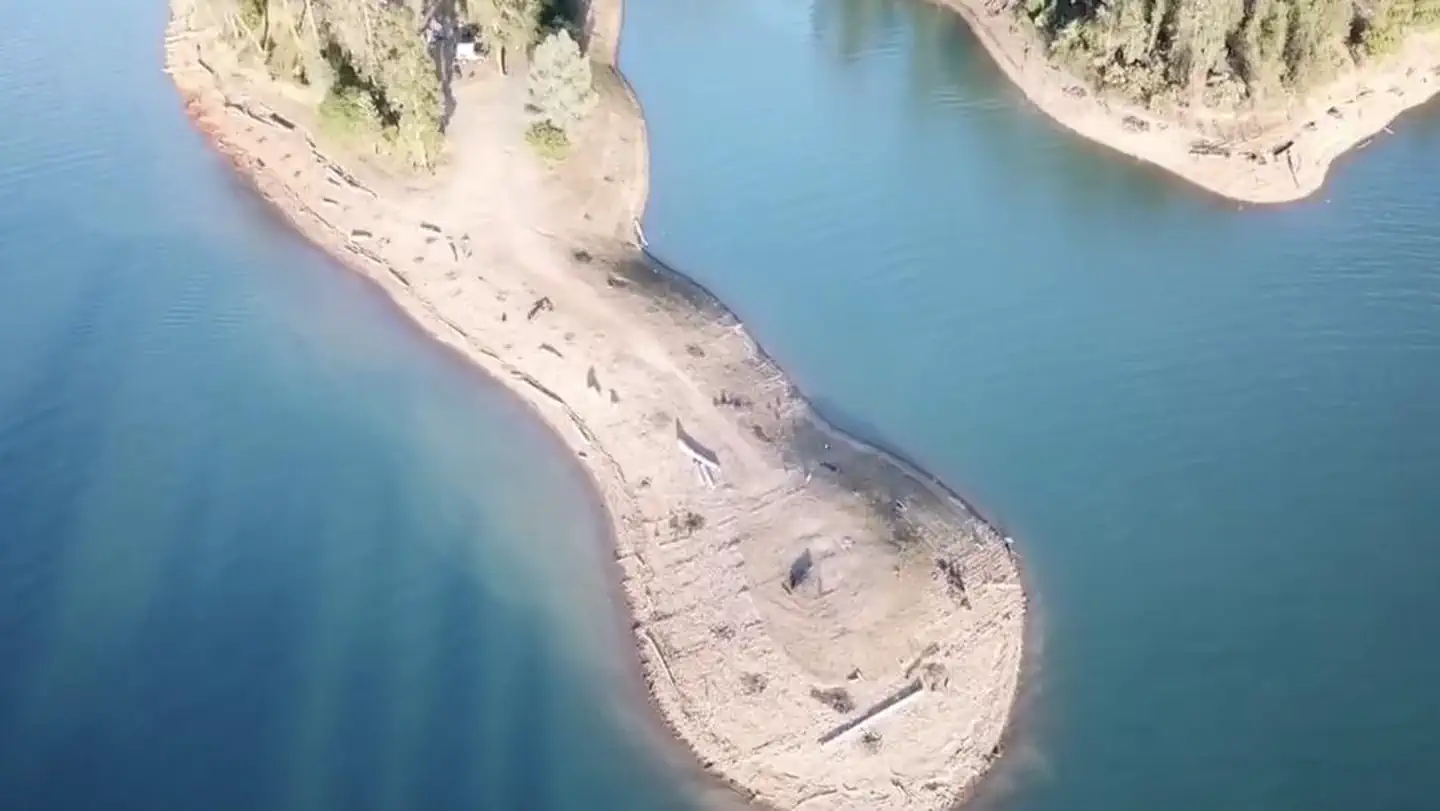 Mariners Point Group CampgroundCampground
Overview Mariners Point Campground is located where the Pit and Squaw arm of Shasta Lake come together and offers sites to both tent and RV campers.
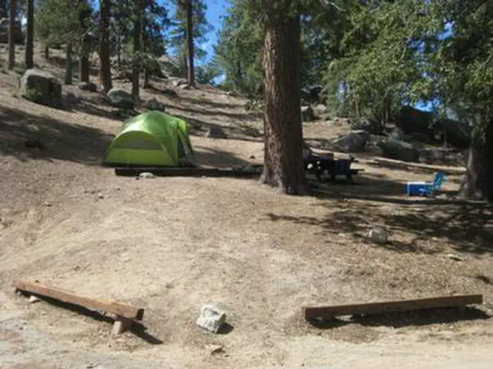 Marion MountainCampground · 16 sites
Overview The Marion Mountain Campground offers a beautiful retreat in the San Bernardino National Forest.
 Mariposa Grove Commercial Bus ParkingTimed entry
The Mariposa Grove, near Yosemite's South Entrance, contains about 500 mature giant sequoias, which are among the largest living things on Earth.
- Marvin Pass TrailheadFacility · not watchable
The Marvin Pass trailhead is a popular route for backpackers heading through Sequoia National Forest and into or out of Sequoia & Kings Canyon National Park.
 Mary Smith CampgroundCampground · 18 sites
Overview Mary Smith Campground is located off County Road 105, two miles north of the town of Lewiston, CA.
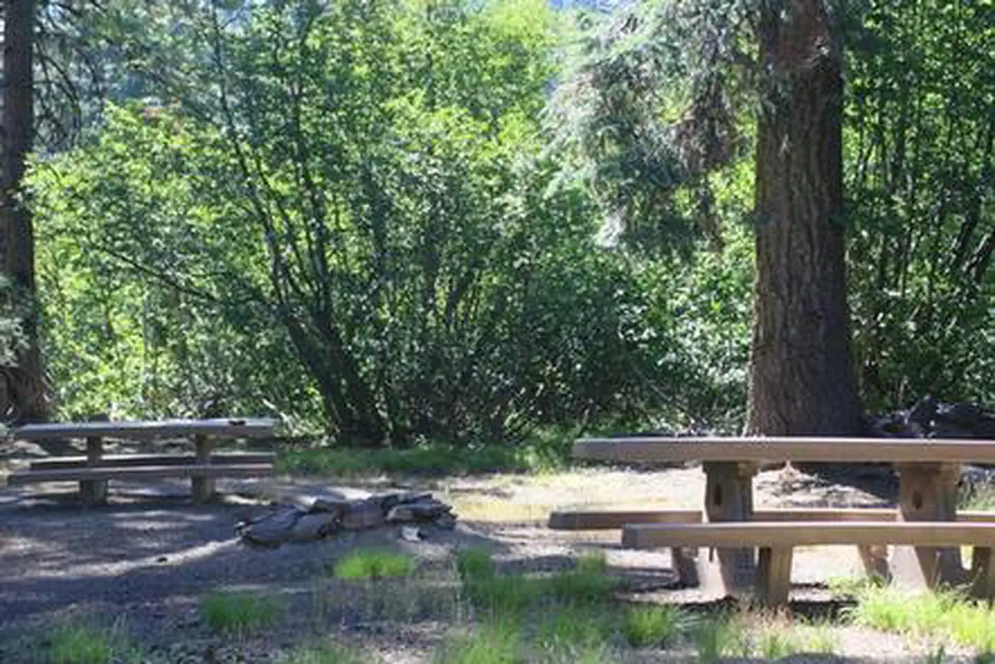 Masterson Group CampgroundCampground · 1 sites
Overview Tucked away in the towering pines of the Mendocino National Forest, the Masterson Campground is perfect for your next big get-together.
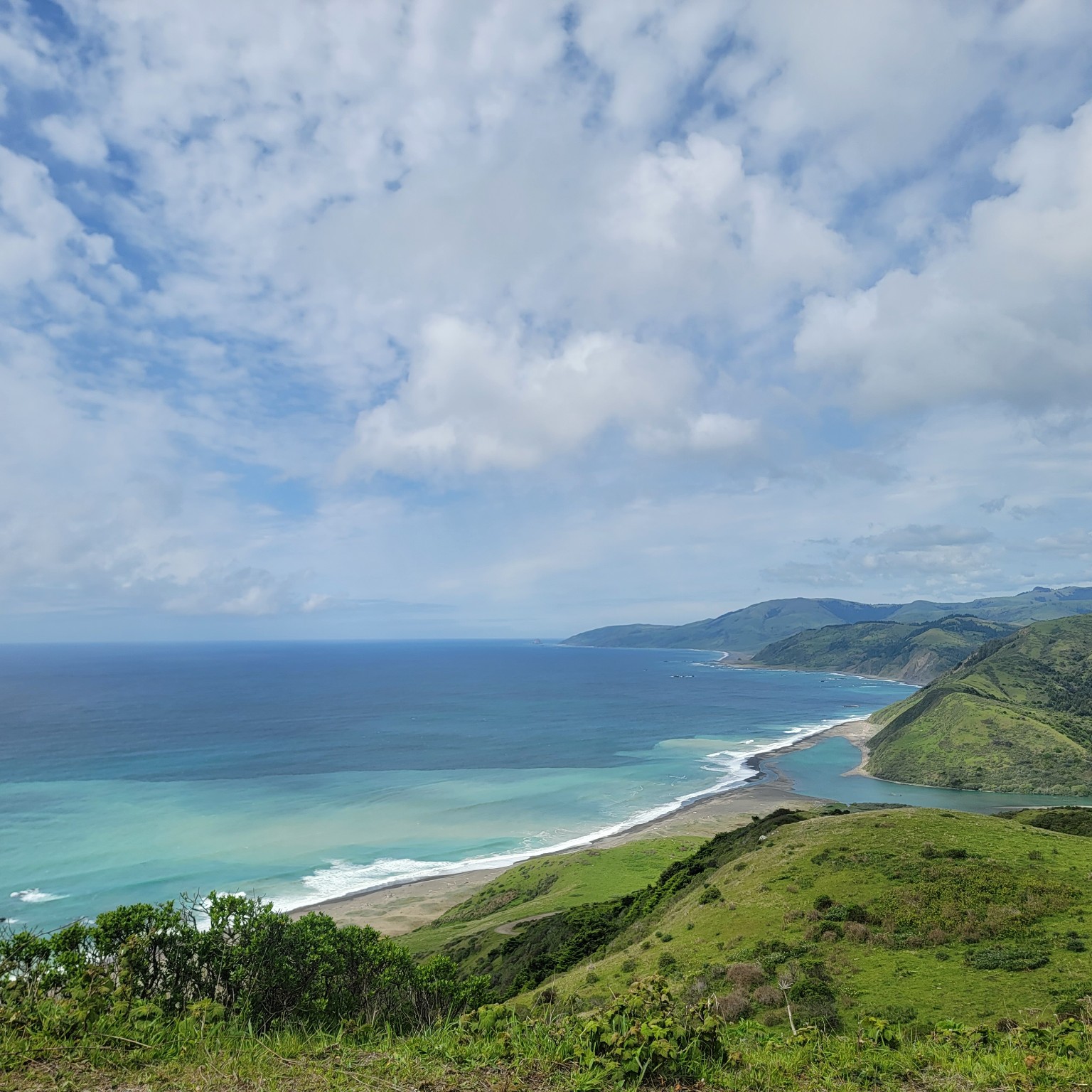 Mattole CampgroundCampground · not watchable
The Mattole Campground sits at the mouth of the Mattole River within the King Range National Conservation Area, offering one of the only low-cost coastal…
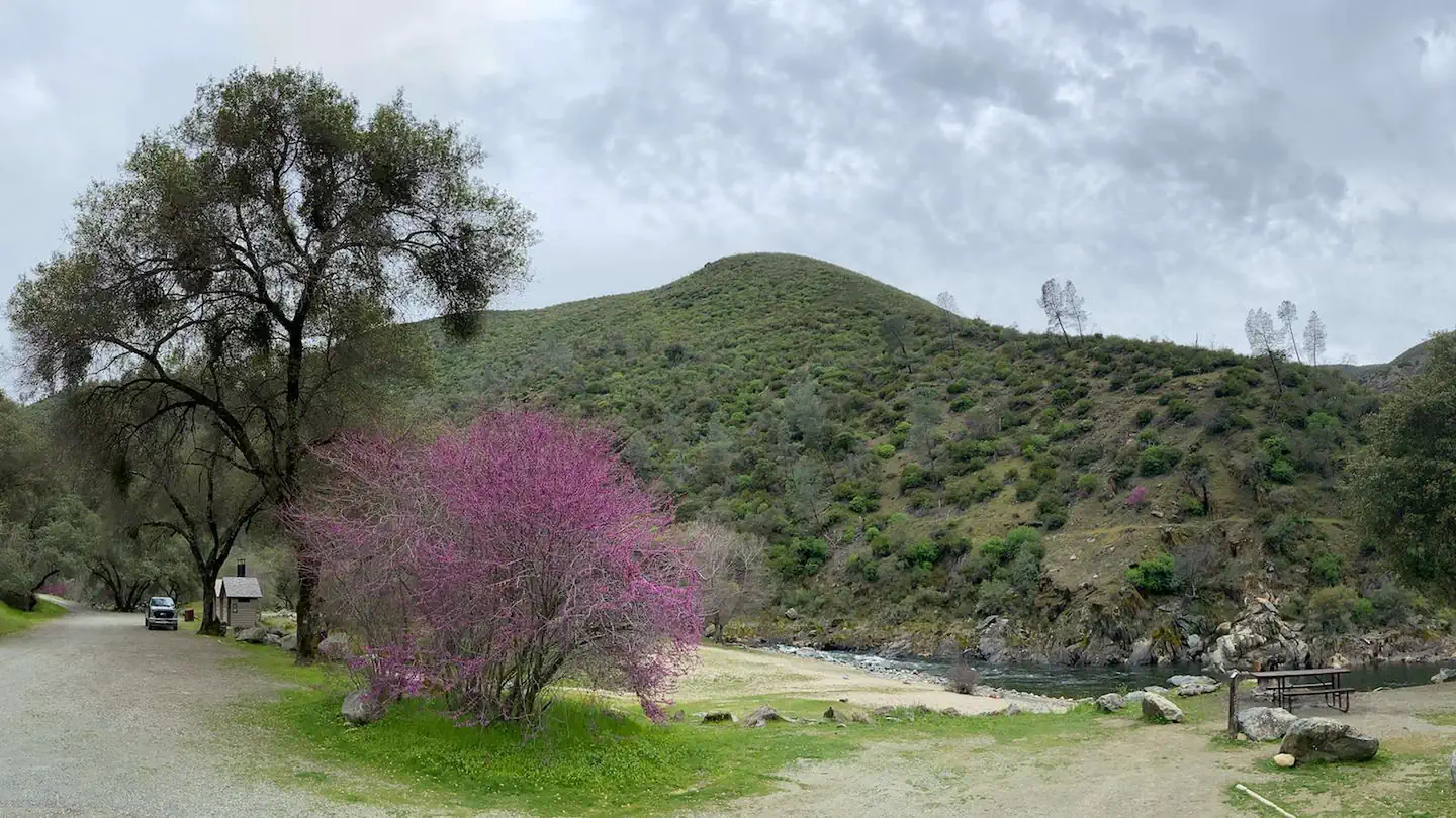 McCabe Flat CampgroundCampground · 10 sites
Overview Merced River Recreation Management Area Overview The Merced River Recreation Area is a special place just downstream from Yosemite.
- McCloud Area RecreationFacility · not watchable
Happy Camping! Our campgrounds are open and are very popular already! Are you interested in camping, fishing, hunting, hiking, boating, picnicing,…
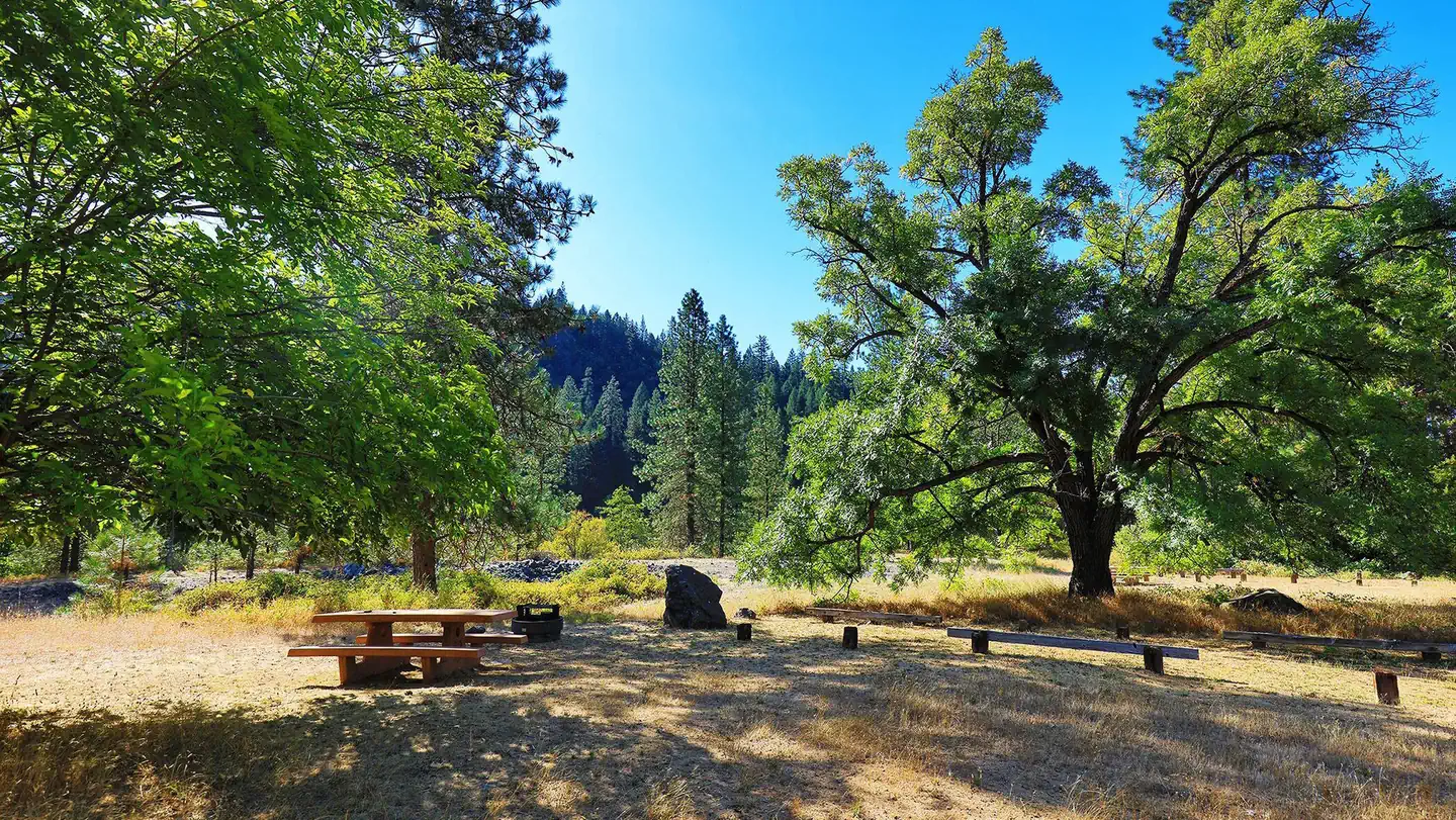 McCloud BridgeCampground · 16 sites
Overview McCloud Bridge Campground is located on the McCloud Arm of Shasta Lake, it has a total of 14 sites; 3 double sites and 11 single sites with an average…
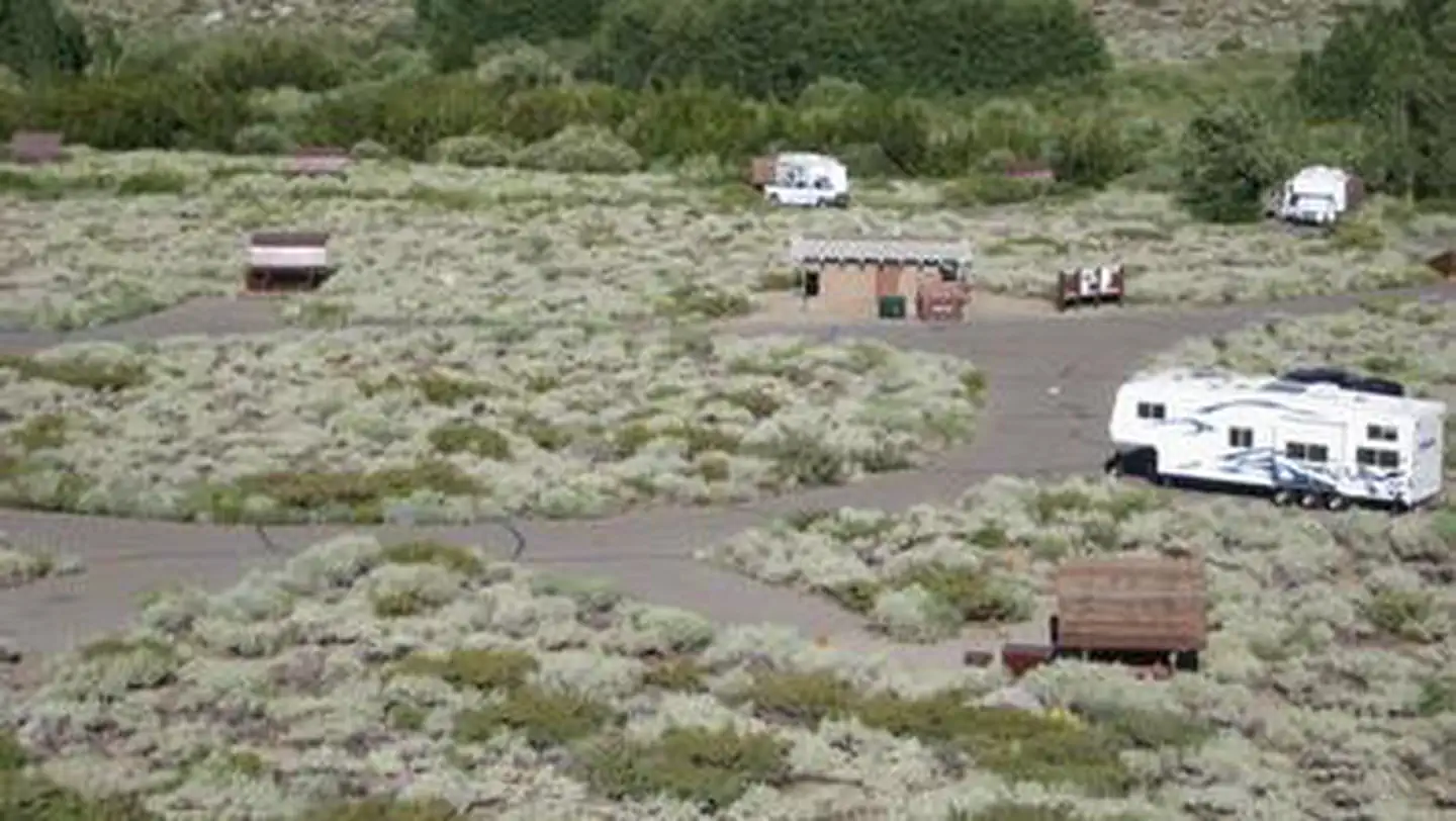 McGee CreekCampground · 28 sites
Overview McGee Campground provides a pleasant, sunny location for family camping between Bishop and Mammoth Lakes in the eastern Sierra Nevada Mountains.
- McGill Group CampgroundFacility · not watchable
Escape from the city to the rustic and beautiful McGill Campground. The campground, bursting with views of mountains and valleys, is an ideal base for several…
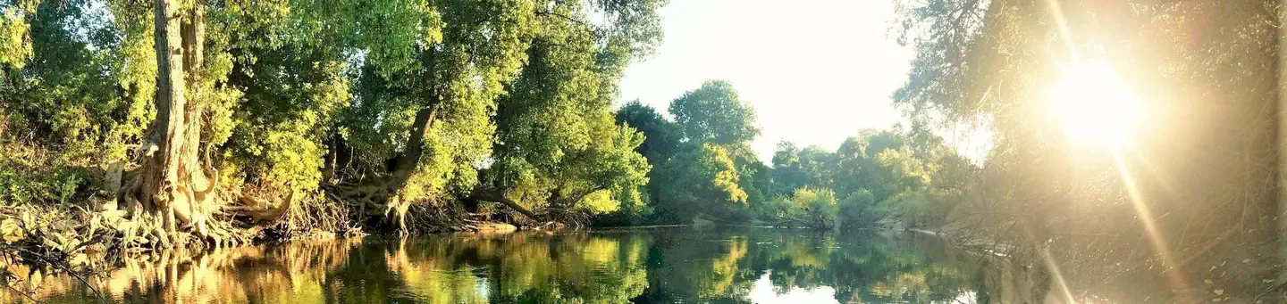 McHenry Avenue Recreation AreaCampground · 13 sites
Overview McHenry Avenue Campground is part of the park system scattered along the lower Stanislaus River within the foothills of the Sierra Nevada.
- McKinley TrailheadFacility · not watchable
McKinley Trailhead is located approximately 13 miles from the junction of Figueroa Mtn Road and Happy Canyon/Sunset Valley Road.
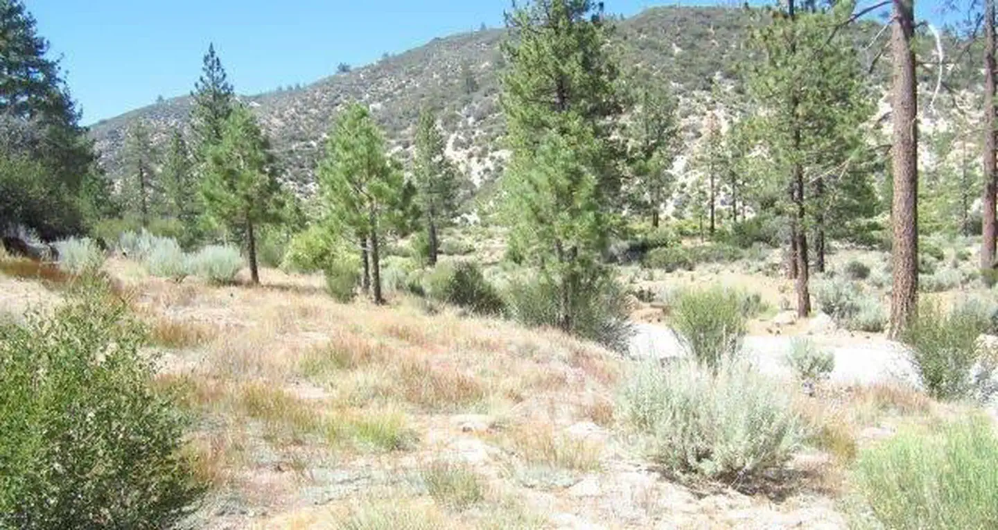 Meadow Group CampgroundCampground · 2 sites
Overview Meadow Group Campground is located off State Highway 2 between the Manzanita Loop of the Chilao Campground and the Chilao Ranger Station, 26 miles…
- Meadow Lake Shoreline CampgroundCampground · not watchable
Meadow Lake Shoreline Campground is located on Meadow Lake. Meadow Lake is a beautiful high elevation lake.
- Meadows Information Kiosk TrailheadFacility · not watchable
Meadows Information Kiosk and Picnic Area Distance 4.6 - 12 miles depending on trail connection Pets Allowed Yes Fees Adventure Pass Required Hike/Ride Time…
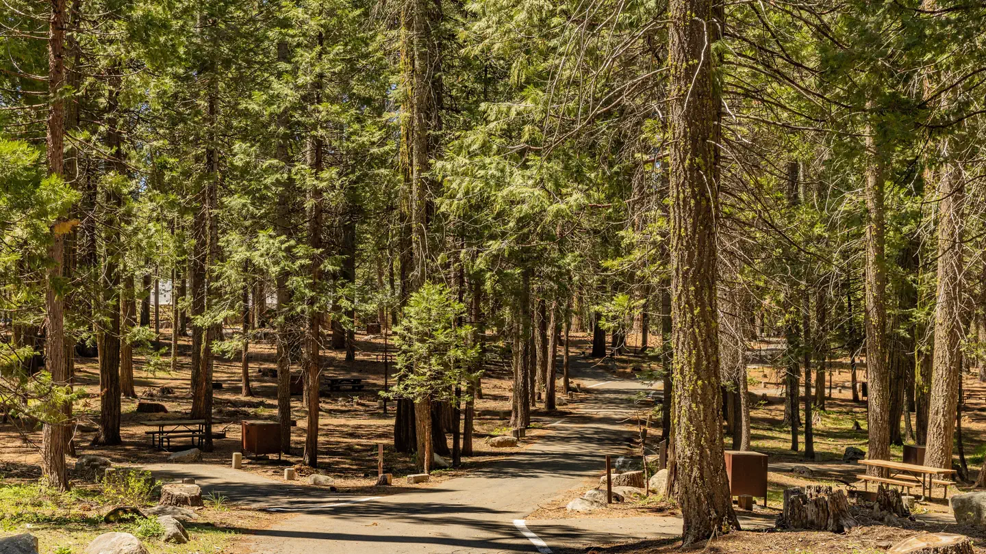 Meadowview CampgroundCampground · 97 sites
Overview IMPORTANT CAMPGROUND UPDATE — RESERVATIONS REQUIRED Beginning Summer 2026, ALL CAMPSITES at Meadowview Campground will require advance reservations…
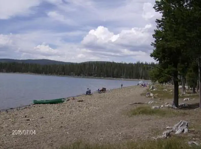 Medicine Lake Recreation AreaCampground · 75 sites
Overview The popular Medicine Lake Recreation Area and adjacent Medicine Lake are located in the Medicine Lake Highlands in northeastern California.
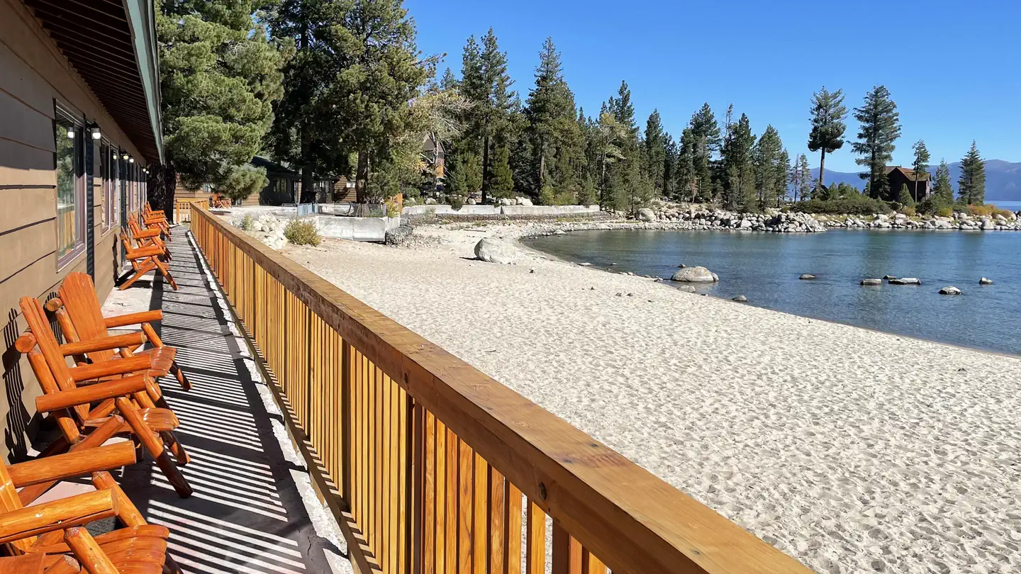 Meeks Bay ResortCampground · 94 sites
Overview NO PETS ARE ALLOWED ANYWHERE AT THE RESORT! Meeks Bay Resort has a long tradition as a family vacation and holiday retreat.
 Mid Hills CampgroundCampground · 25 sites
Overview Mojave preserves a diverse mosaic of ecological habitats and a 10,000 year history of human connection with the desert.
- Middle Fork Cosumnes CampgroundCampground · not watchable
Recreation Opportunity Guides (ROG) - These guides contains information, maps, and directions to assist you in enjoying your trip to the Eldorado National…
- Middle Fork Day Use AreaFacility · not watchable
Off Highway 120 on Evergreen Road. Fishing, vault toilet. CAUTION - BURNED AREA Please use caution while in the Rim Fire Burned Area.
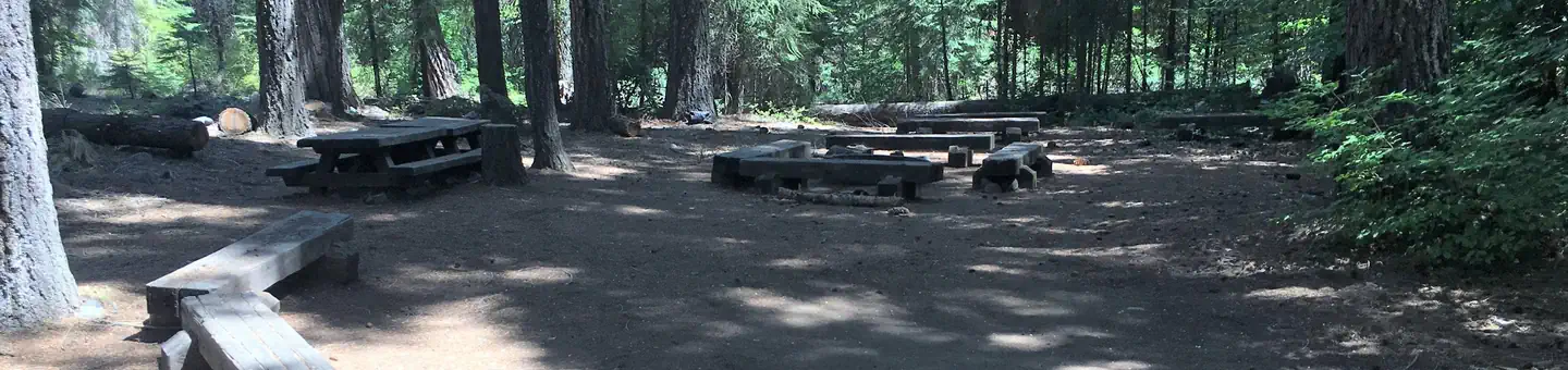 Middle MeadowsCampground · 2 sites
Overview Middle Meadows Campground offers a quiet place to camp, far from the hustle and bustle of city life.
- Mile High Vista Observation SiteFacility · not watchable
This stop offers one of the most spectacular views along the Sierra Vista Scenic Byway.
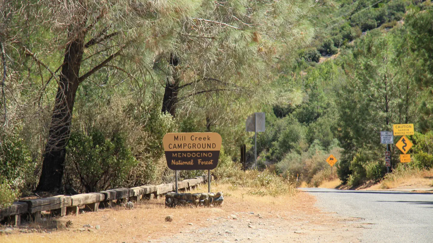 Mill Creek - Mendocino National ForestCampground · 1 sites
Overview This location is available on a first-come, first-served basis only. Visitors are required to physically arrive at the campground to purchase and…
- Mill Creek CampgroundCampground · not watchable
Mill Creek Campground situated in a mixed conifer forest with a stand of beautiful aspens.
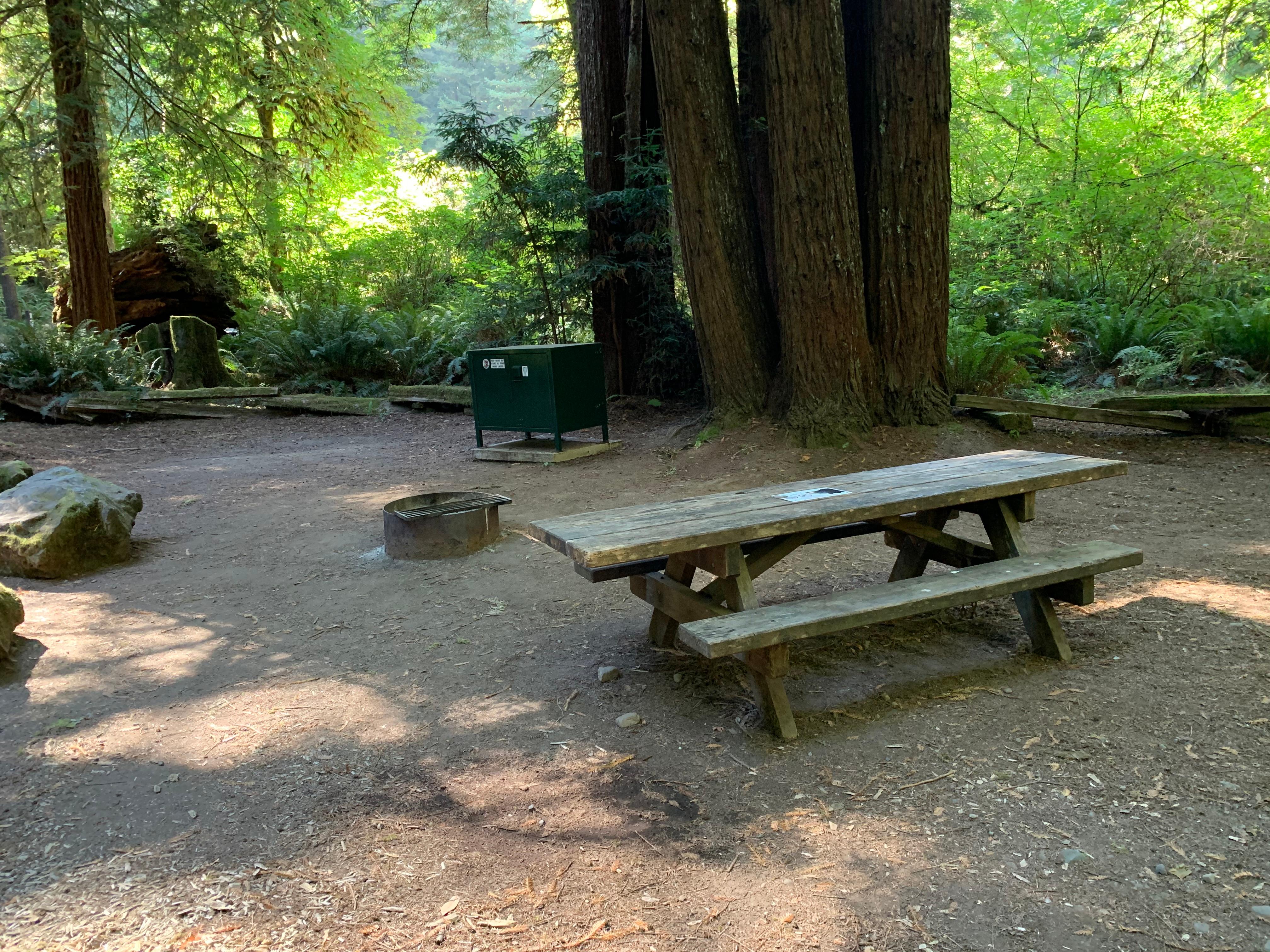 Mill Creek Campground - Del Norte Coast Redwoods State ParkCampground · not watchable
Sleep beneath towering maples and young redwoods. Access to Mill Creek, miles of varied hiking trails, and summer programs.
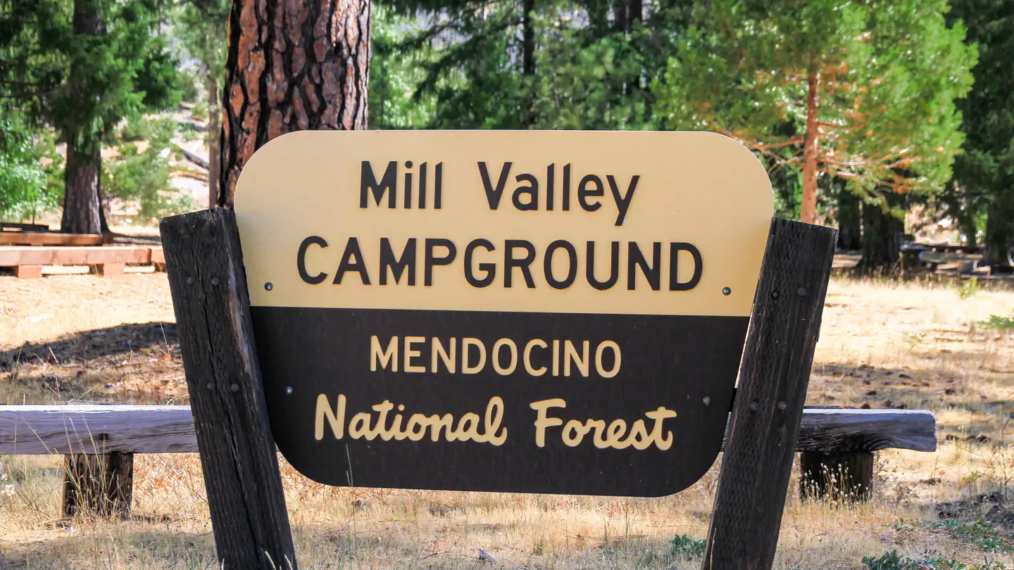 Mill Valley CampgroundCampground · 1 sites
Overview This location is available on a first-come, first-served basis only. Visitors are required to physically arrive at the campground to purchase and…
- Millard CampgroundFacility · not watchable
Gate may be closed due to High Fire danger. Elevation: 1900-Foot Elevation Amenities: 6 hike-in campsites- Picnic tables and campfire rings, vault toilets,…
- Miller Canyon CreekFacility · not watchable
California Department of Fish and Game plants rainbow trout twice per month, spring through early summer; downstream from bridge along Forest Road 2N37.
- Miller Canyon OHV Road 2N37Facility · not watchable
The Miller Canyon OHV Road 2N37 travels 5 miles from the Miller Canyon OHV Trailering Site to the junction of Pilot Rock OHV Road 2N33.
- Miller Canyon OHV Staging AreaFacility · not watchable
The Miller Canyon OHV Staging Area is located just east of Silverwood Lake State Recreation Area on Forest Road 2N37 off Highway 138.
- Millwood OHV Staging AreaFacility · not watchable
SPECIAL NOTE: Millwood Off-Highway Vehicle (OHV) area is currently under contruction for the "Millwood re-design project".
- Milton ReservoirFacility · not watchable
The Middle Fork of the Yuba River flows into the east end of Milton Lake. This small 12-acre lake is part of the wild trout program of California's Department…
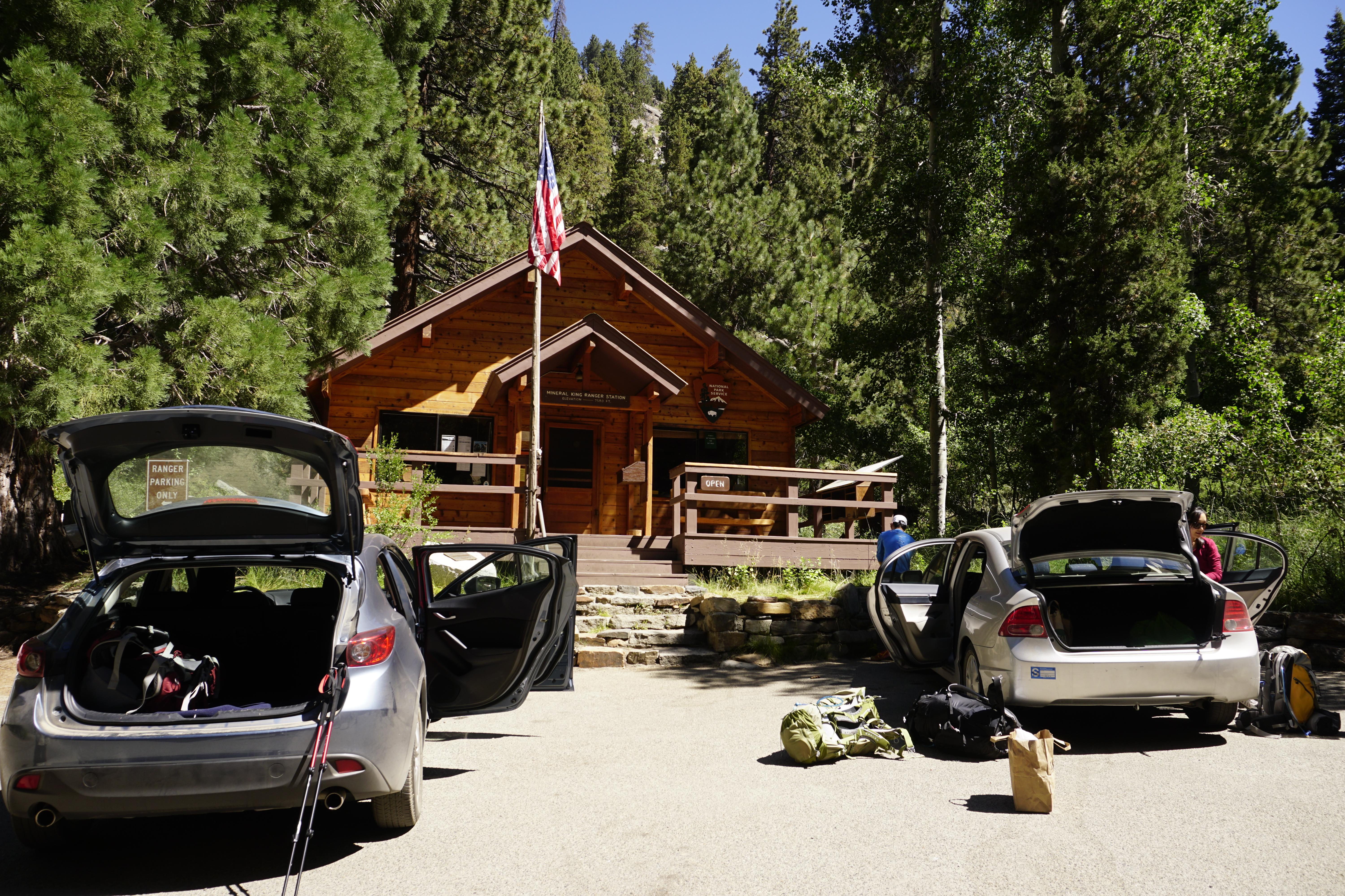 Mineral King Ranger StationFacility · not watchable
Located in a mixed-conifer forest at 7,600 feet (2,320 m), the Mineral King Ranger Station houses some exhibits on Mineral King's human and natural history.
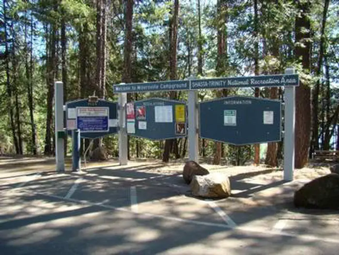 Minersville CampgroundCampground · 14 sites
Overview This campground, located 17 miles north of Weaverville, CA, off Highway 2, is situated on the Stuart Fork Arm of Trinity Lake.
- Miracle Hot Springs Picnic SiteFacility · not watchable
This is a Forest Service managed day use area. It is located 42 miles northeast of Bakersfield and 8 miles southwest of Lake Isabella along the old Kern…
- Mokelumne CampgroundCampground · not watchable
Recreation Opportunity Guides (ROG) - These guides contains information, maps, and directions to assist you in enjoying your trip to the Eldorado National…
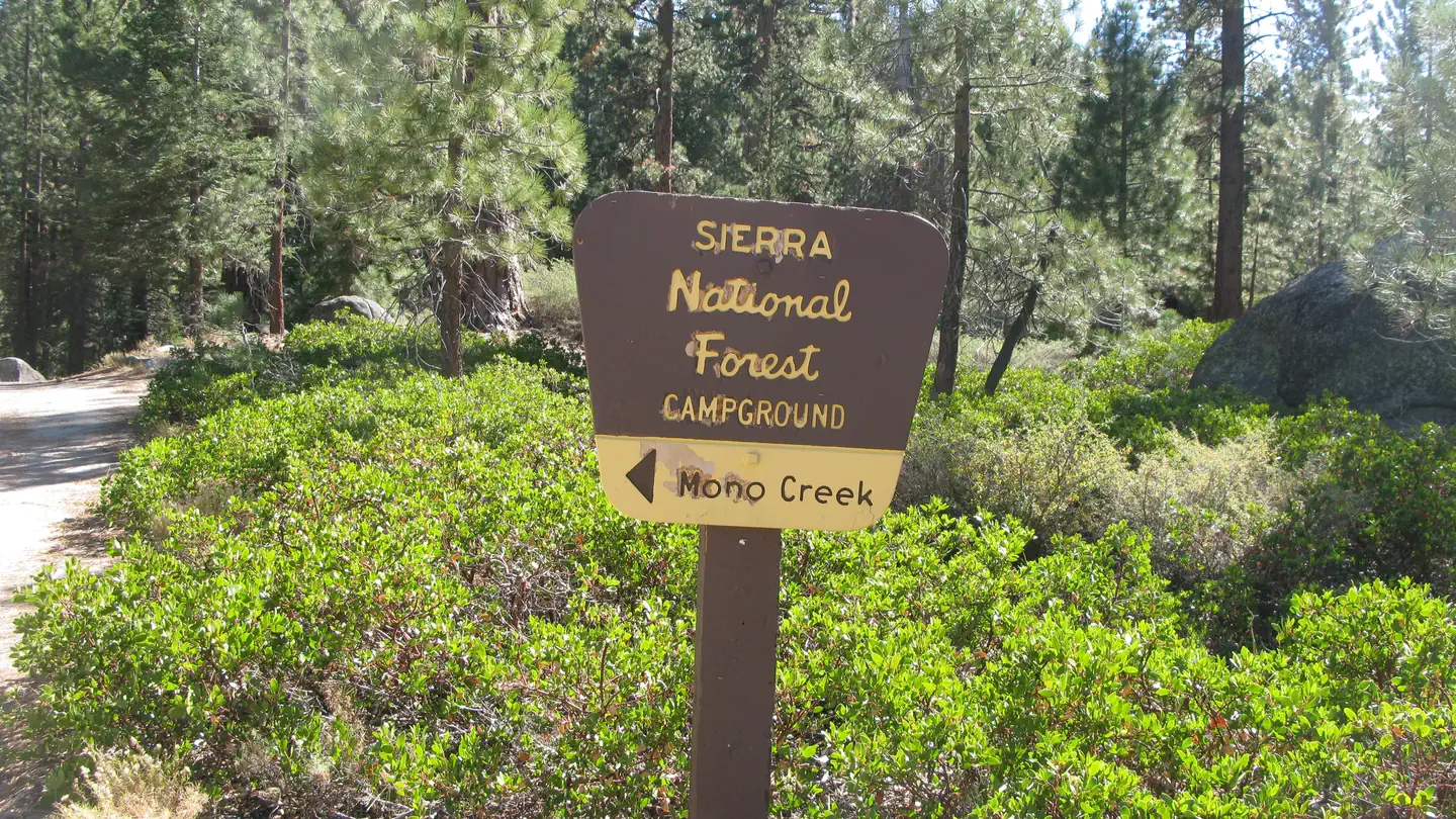 Mono CreekCampground · 11 sites
Overview Mono Creek Campground is located in the High Sierras above Kaiser Pass. This quiet, remote campground is situated in a peaceful meadow near Mono Hot…
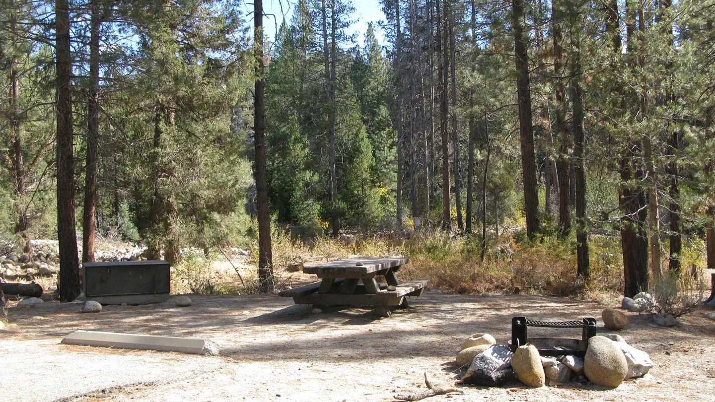 Mono Hot SpringsCampground · 23 sites
Overview Mono Hot Springs Campground sits above Kaiser Pass in the High Sierra, on the South Fork of the San Joaquin River in an area known for its hot mineral…
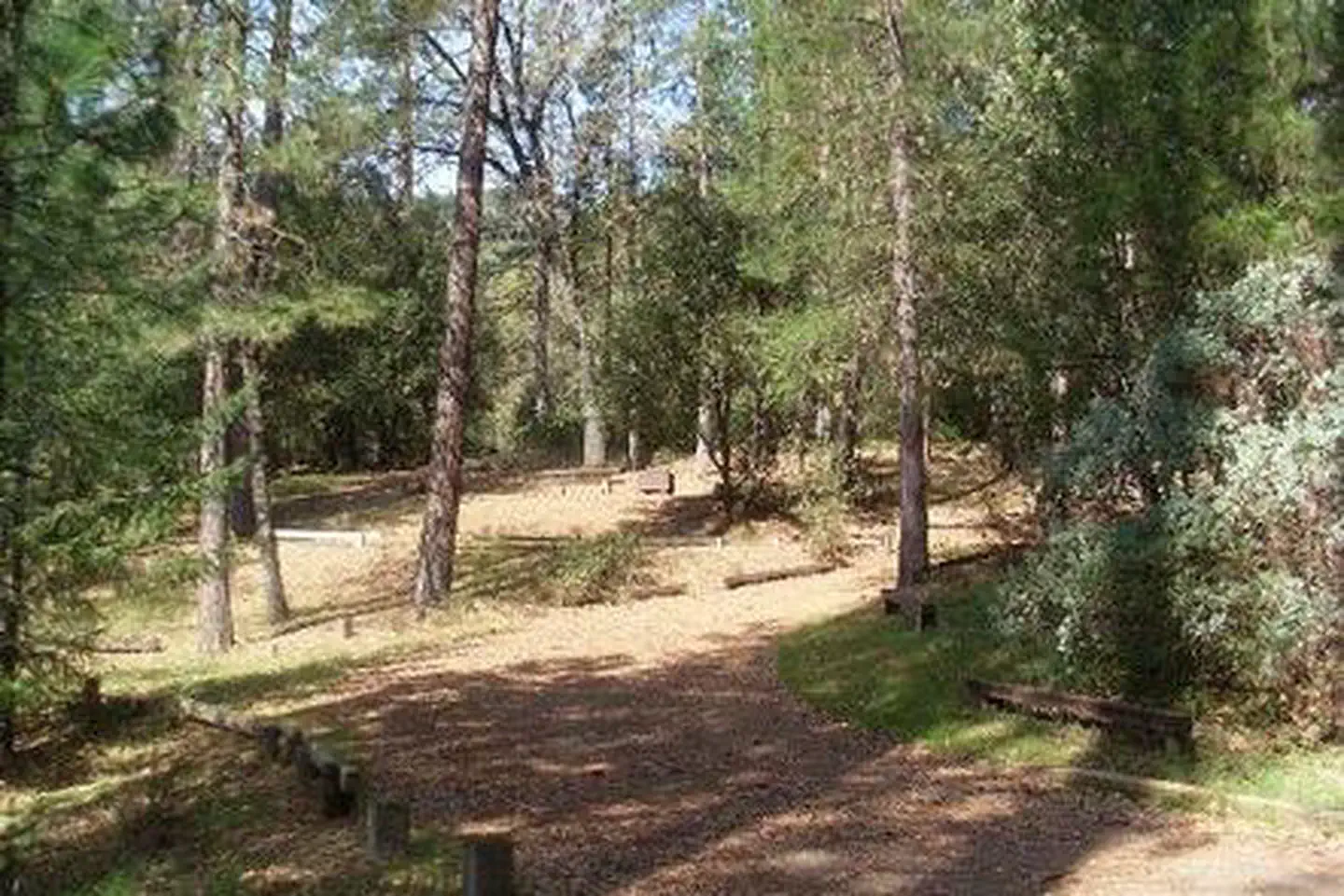 Moore CreekCampground · 1 sites
Overview Moore Creek Campground is situated on the McCloud Arm of Shasta Lake. This cozy campground is partially shaded and can accommodate both tents and RVs.
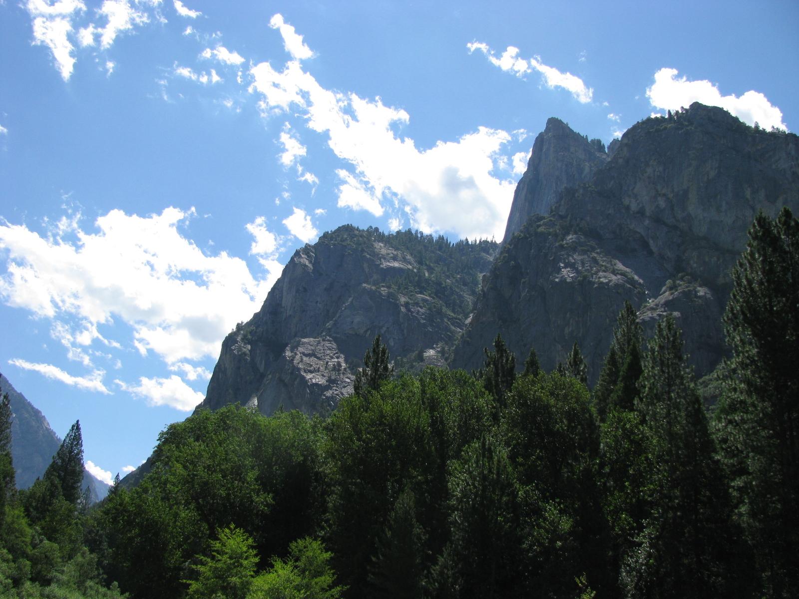 Moraine Campground (CA)Campground · 117 sites
Overview Moraine Campground in Cedar Grove is nestled in the stunning Kings Canyon, one of the deepest canyons in the United States.
- Mosquito Lakes CampgroundCampground · not watchable
Campground has no water and no service. When Highway 4 is closed, no access is possible.
- Mosquito Lakes TrailheadFacility · not watchable
The Mosquito Lakes Trailhead can be used to access Heiser Lake and Bull Run Lake. From Bull Run Lake, the trail continues to the Stanislaus Meadow Trailhead…
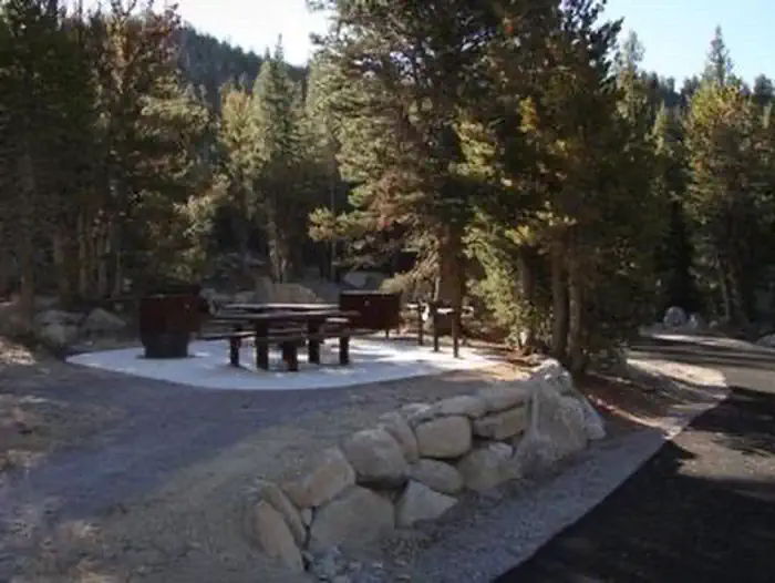 Mount Rose (NV)Campground · 26 sites
Overview Mount Rose Campground is conveniently located between Reno and Lake Tahoe just off scenic Mount Rose Highway.
- Mountain Home Village Scenic OverlookFacility · not watchable
Located on State Highway 38 just east of the community of Mountain Home Village, this overlook offers views to the east of the San Gorgonio Wilderness and Sand…
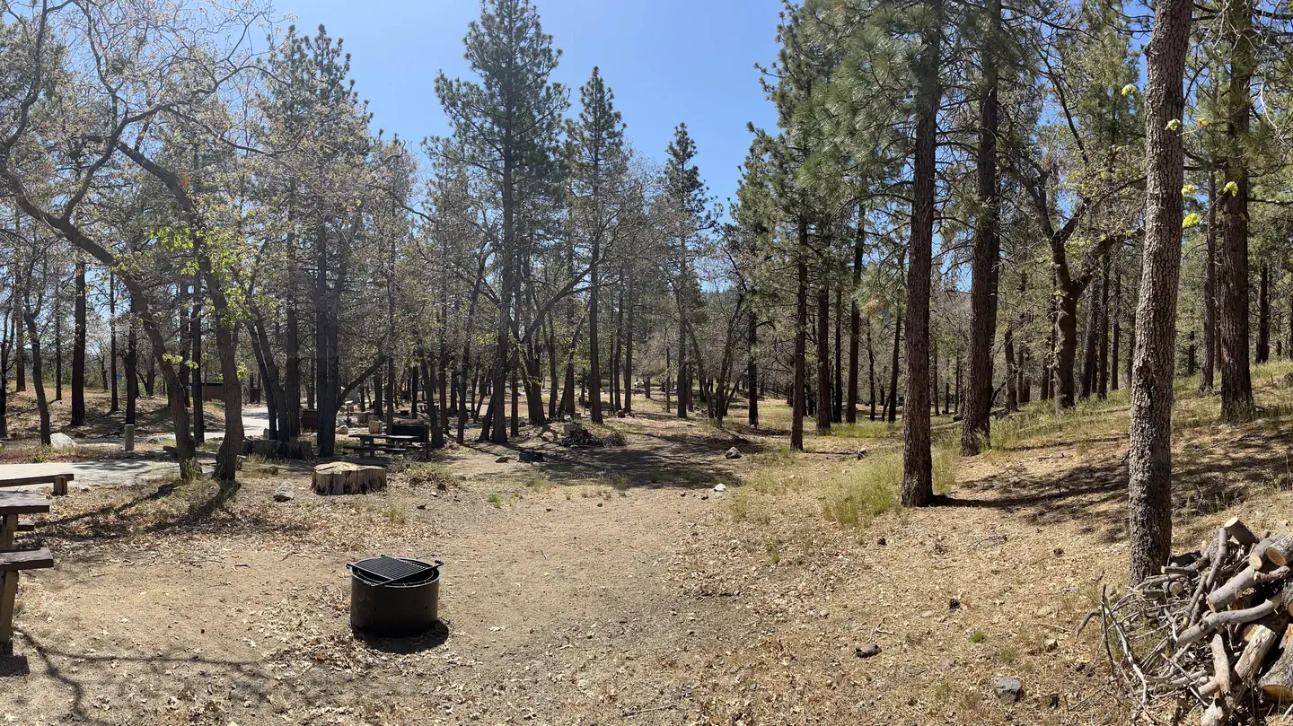 Mountain OakCampground · 14 sites
Overview Escape to Mountain Oak Campground in the Angeles National Forest for a restful, refreshing getaway from city life.
- Mt. Baden Powell via Vincent's GapFacility · not watchable
At a Glance: Distance: 8 miles (one-way) Difficulty: Medium Total Climbing: 2,765 feet Highest Elevation: 9,356 feet What to Expect What to Expect This iconic…
- Mt. Baldy Visitor Center Interpretive Site (major)Facility · not watchable
For additional information on programs and activities available at the visitor center, follow this link.
- Mt. Shasta AreaFacility · not watchable
Recreation on the unit centers on the two designated wilderness areas of Mount Shasta and Castle Crags.
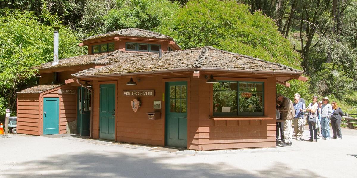 Muir Woods Visitor CenterFacility · not watchable
Visitors are required to check-in at the Visitor Center upon arriving at Muir Woods.
- Munch Canyon TrailheadFacility · not watchable
Munch Canyon Trailhead is located on Sunset Valley Road on Figueroa Mountain. This trailhead meets up with several other trails in this general area, including…
 Museum of Latin American ArtFacility · not watchable
The Museum of Latin American Art (MoLAA) in Long Beach, California was founded by Dr. Robert Gumbiner in November 1996.
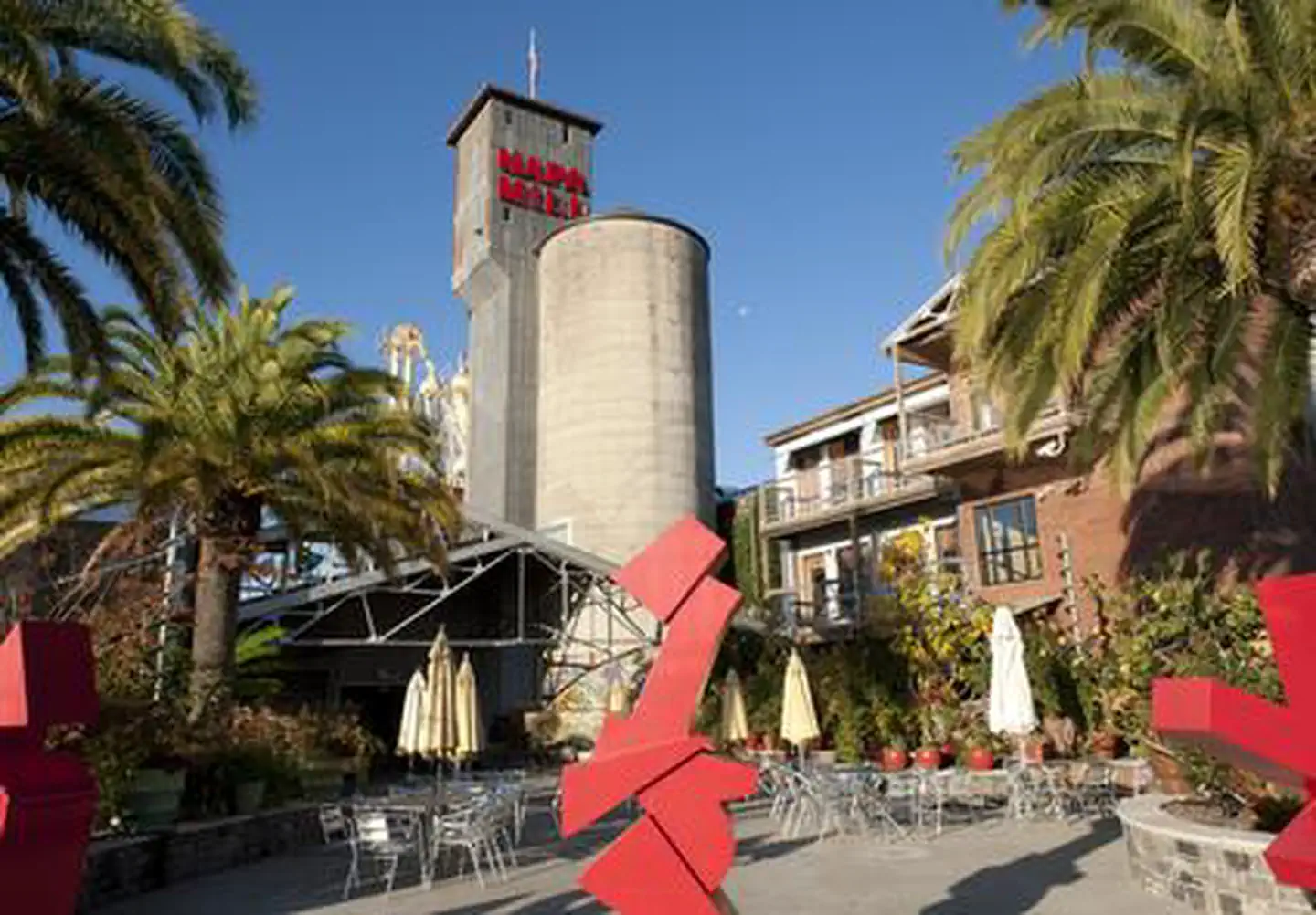 Napa River InnFacility · not watchable
The Napa River Inn, built in 1884 and a member of Historic Hotels of America® since 2004 was listed in the National Register of Historic Places in 1977.
- National Children's ForestFacility · not watchable
Located east of Running Springs on Highway 18 in the community of Arrowbear. This 3,400-acre site at 7,000 feet in elevation, is a virtual outdoor classroom…
 Nelson PointCampground · 1 sites
Overview Nelson Point Campground is situated along the Sacramento Arm of Shasta Lake, easily accessible from 1-5 and located nearby many other recreation areas…
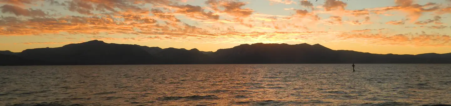 Nevada Beach CampgroundCampground · 54 sites
Overview Nevada Beach Campground sits in the Lake Tahoe Basin of Nevada. Minutes from the bright blue water of Tahoe's eastern shores, campsites are nestled in…
 New Shady Rest CampgroundCampground · 90 sites
Overview New Shady Rest Campground is a large facility convenient to numerous outdoor activities and attractions in the eastern Sierra Nevada Mountains.
- Niagara Creek CampgroundCampground · not watchable
Niagara Creek Campground situated in a mixed conifer forest. It is located on Forest Road 5N01.
- Niagara OHV CampgroundCampground · not watchable
Niagara OHV Campground situated in a mixed conifer forest. It is located on Forest Road 5N01.
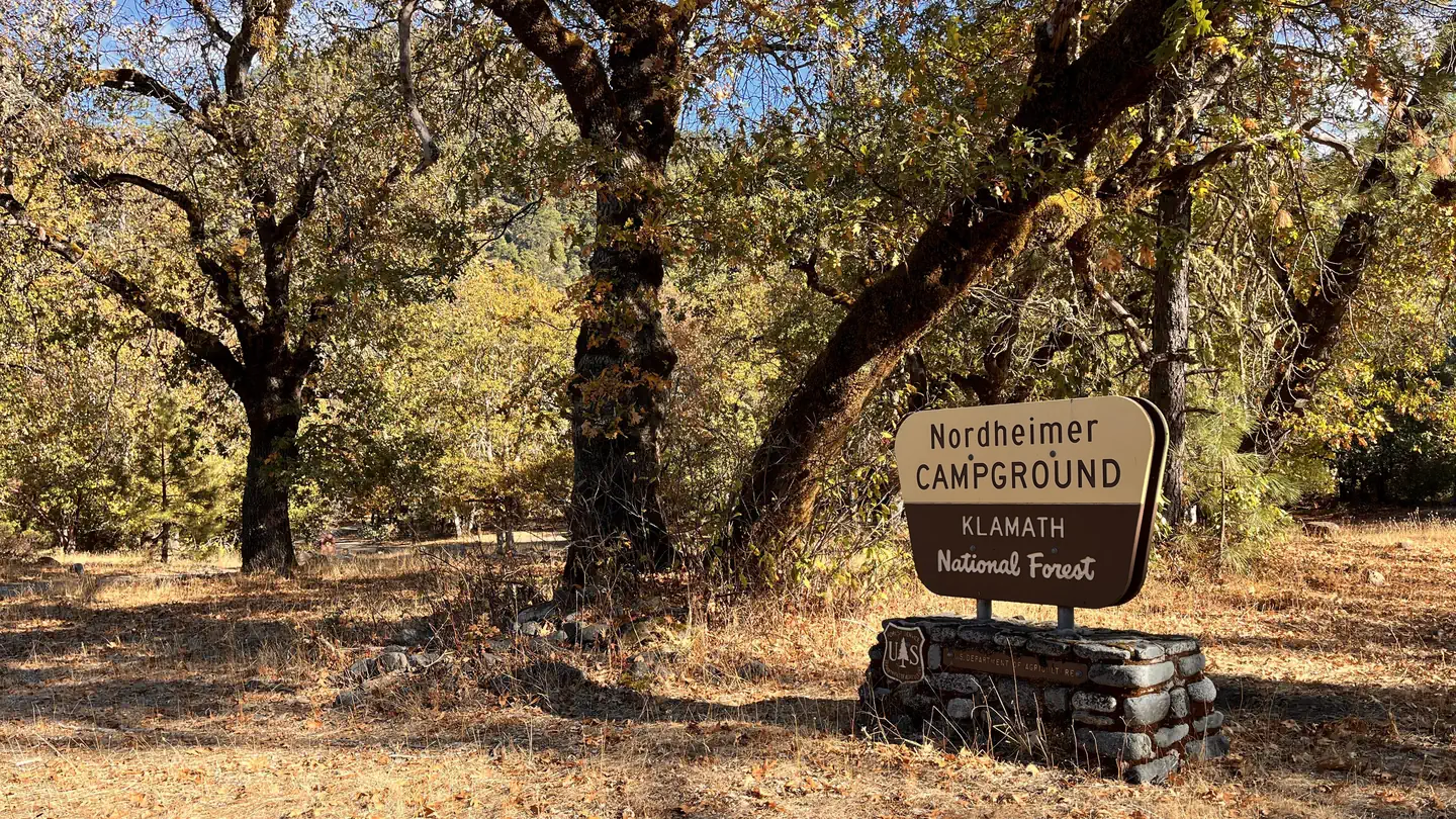 Nordheimer Group SitesCampground · 4 sites
Overview Nordheimer Group Sites are in a Douglas-fir and hardwood forest close to the Wild and Scenic California Salmon River.
- Nordheimer Main CampgroundCampground · not watchable
Nordheimer’s main campground is open year-round and offers 12 single fee sites, all on a first-come first-served basis. No running water.
- Nordhoff Ridge RoadFacility · not watchable
Alert - 5/1/2022 - The Nordhoff Ridge Rd is temporarily closed until further notice due to winter storm damage to the road.
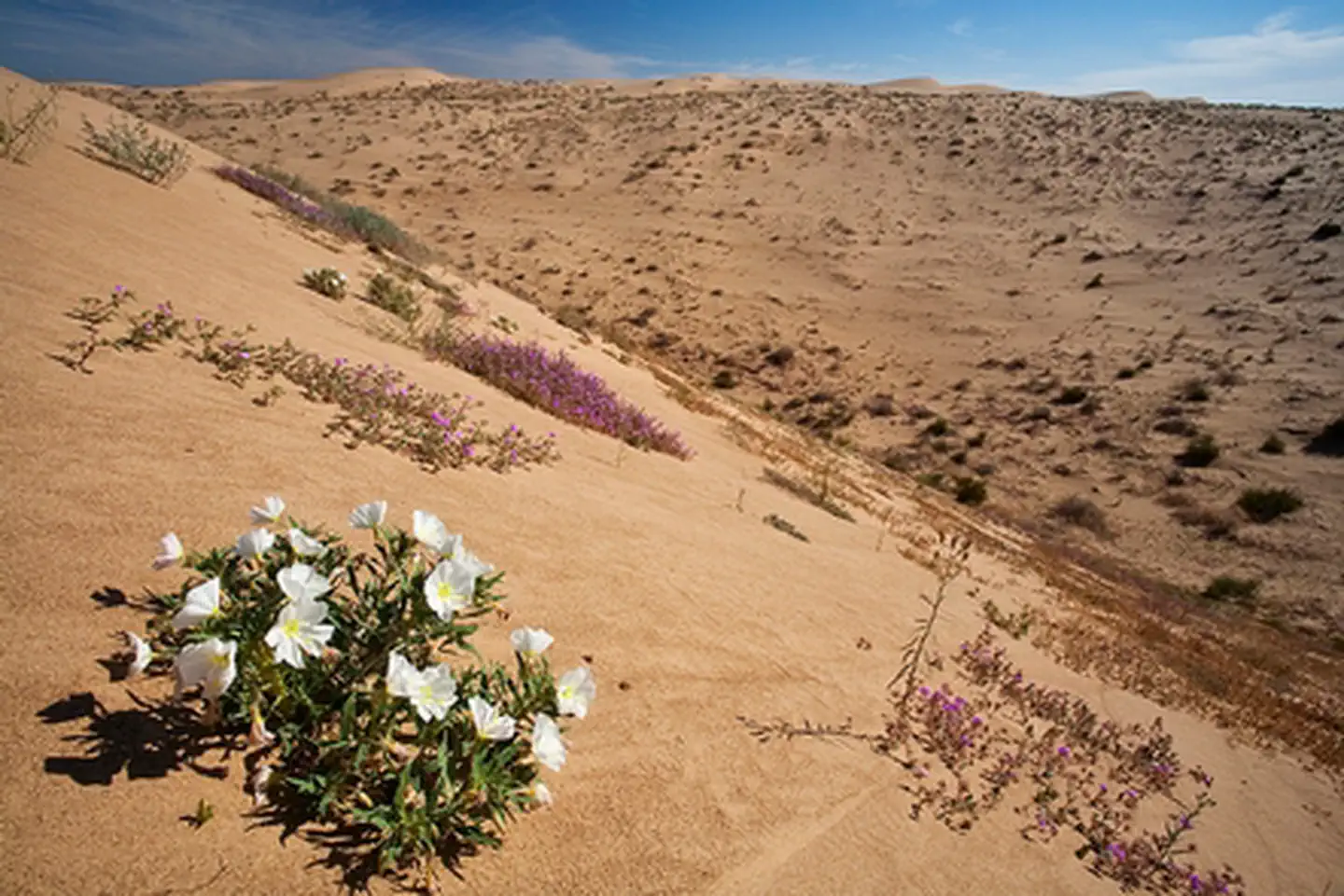 North Algodones Dunes WildernessFacility · not watchable
The North Algodones Dunes Wilderness encompasses more than 26,000 acres. Other specially designated areas found within this wilderness include the Imperial…
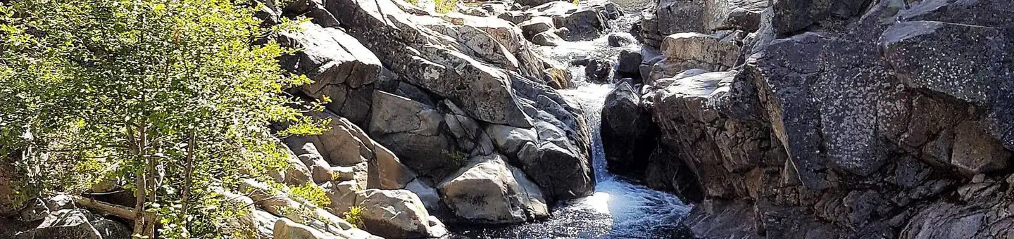 North Fork (Ca)Campground · 15 sites
Overview North Fork Campground is located along the North Fork of the North Fork American River in the Tahoe National Forest, off of Interstate 80, at the…
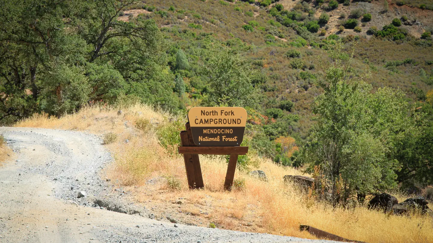 North Fork - Mendocino National ForestCampground · 1 sites
Overview This location is available on a first-come, first-served basis only. Visitors are required to physically arrive at the campground to purchase and…
- North Fork CampgroundCampground · not watchable
North Fork Campground is a quiet, semi-shaded, remote campground bordered by the North Fork of the Smith River.
 North Fork Primitive CampFacility · not watchable
Remember your OUTDOOR ETHICS when enjoying your public lands. Please RECREATE RESPONSIBLY.
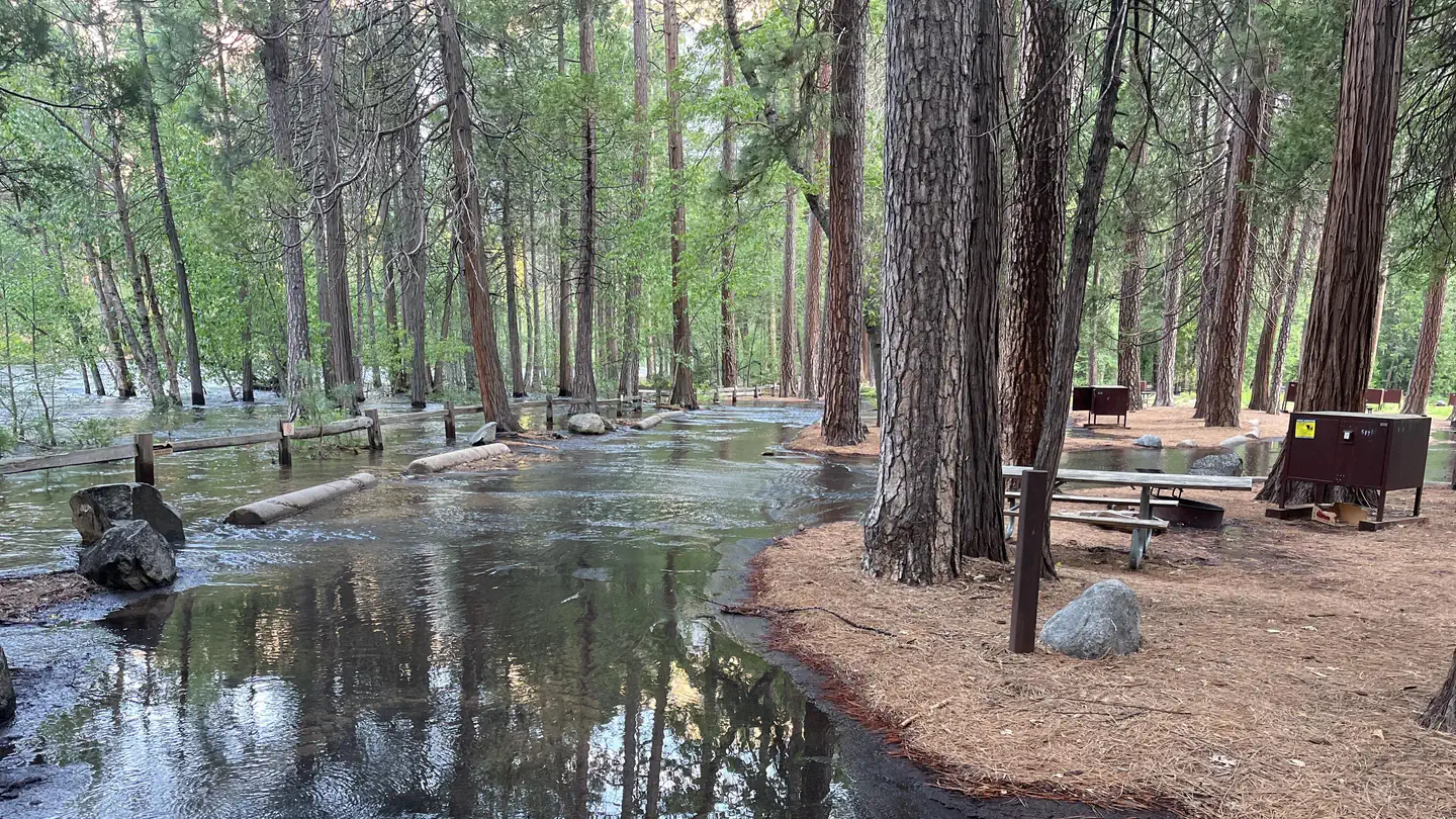 North Pines CampgroundCampground · 81 sites
Overview For the 2026 season, North Pines campground utilized a one-time Early Access Lottery that allowed successful applicants to make a reservation within…
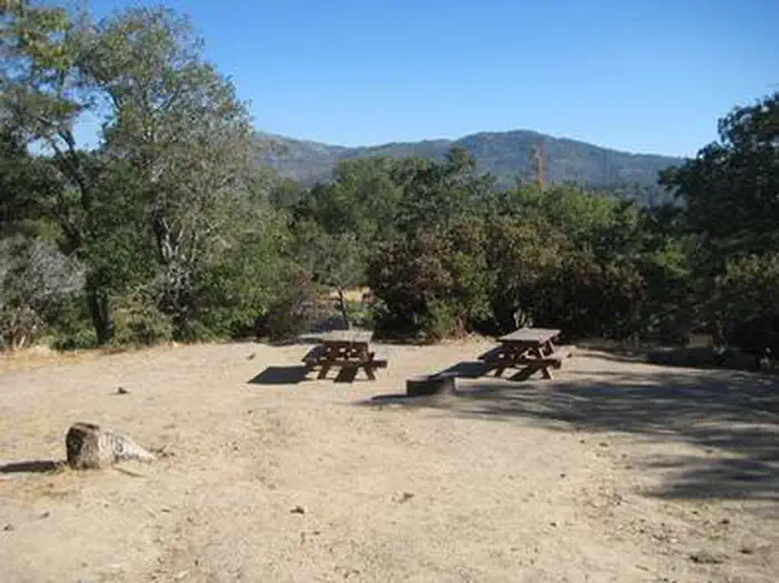 North Shore (Ca)Campground · 26 sites
Overview North Shore Campground is a quiet place to camp, away from the hustle and bustle of nearby cities.
- Northwind CampgroundCampground · not watchable
Location: 23 miles east of Placerville on Highway 50 and 11 miles north on Ice House Road (Forest Road 3),then east (right) on Forest Road 32.
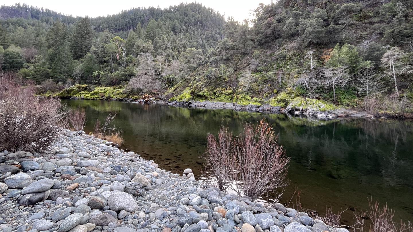 Oak Bottom CampgroundCampground · 25 sites
Overview PLEASE NOTE THIS IS NOT OAK BOTTOM CAMPGROUND AT WHISKEYTOWN LAKE. FOR THAT SITE NEAR REDDING, CALL 530-359-2269 Open from mid-May through…
- Oak Bottom River AccessFacility · not watchable
The Oak Bottom River Access, located directly across from the campground, provides access to the Salmon River which is renowned for it's class 3-5 whitewater.
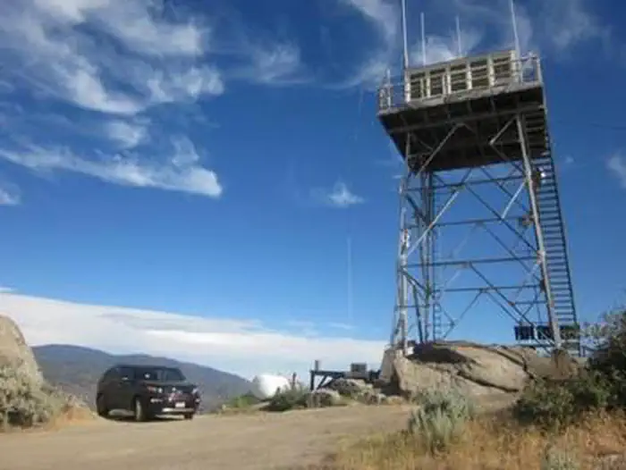 Oak Flat LookoutCampground · 1 sites
Overview The Oak Flat Lookout sits the Greenhorn Mountains in the Sequoia National Forest and Sequoia National Monument, about an hour from Bakersfield,…
 Oak Grove CampgroundCampground · 63 sites
Overview Located on the Cleveland National Forest, Oak Grove Campground is nestled in a valley of large oak groves and manzanita.
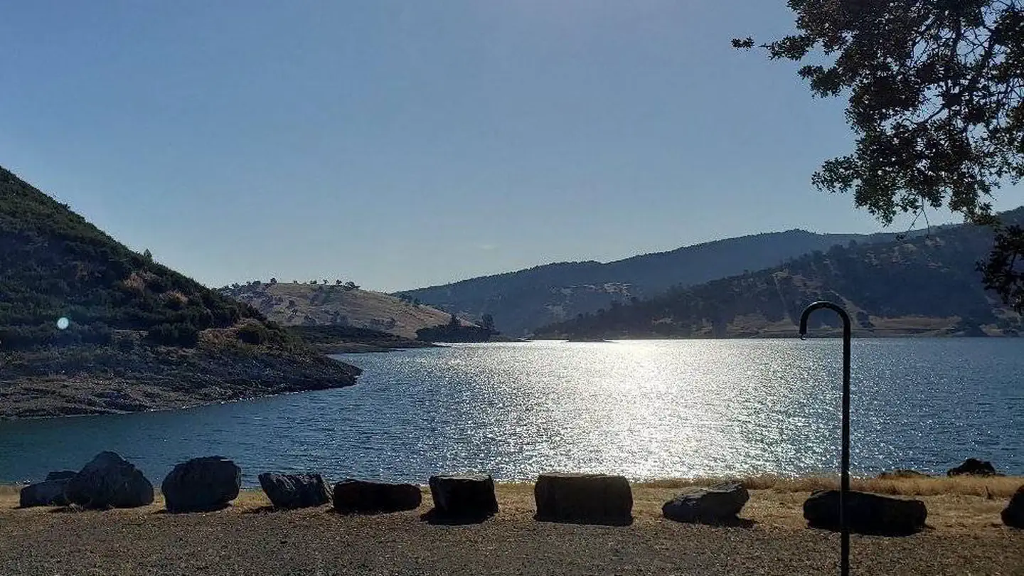 Oak Knoll CampgroundCampground · 49 sites
Overview Oak Knoll Campground sits along New Hogan Lake in the brush-covered foothills of the Sierra Nevada Mountains.
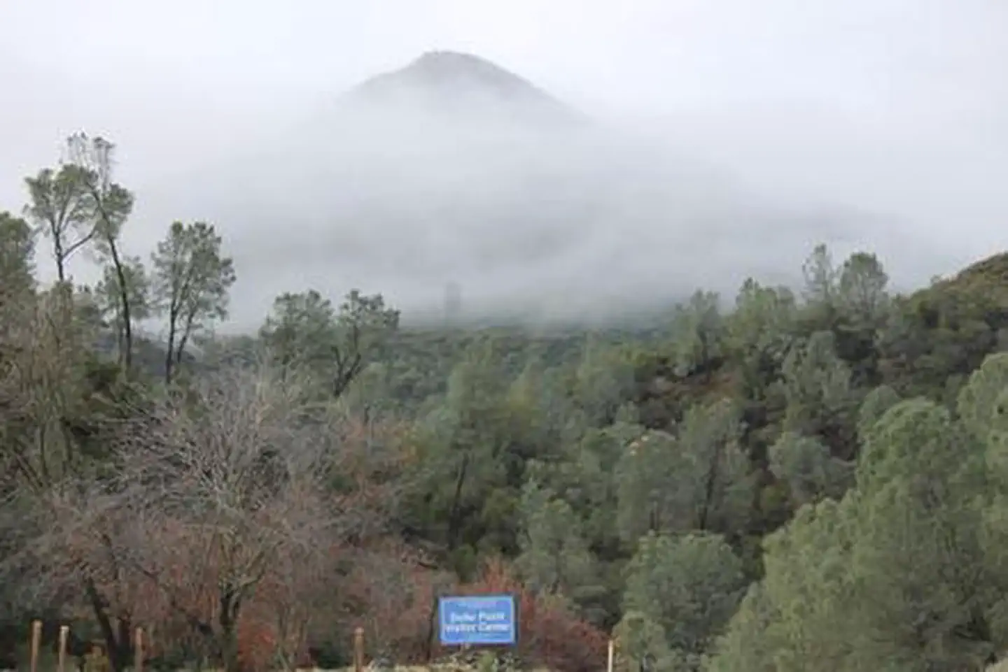 Oak Shores Day Use Area (Ca)Campground · 6 sites
Overview Nestled between Blue Ridge and Cedar Roughs east of Napa Valley, Lake Berryessa provides ample public recreation opportunities.
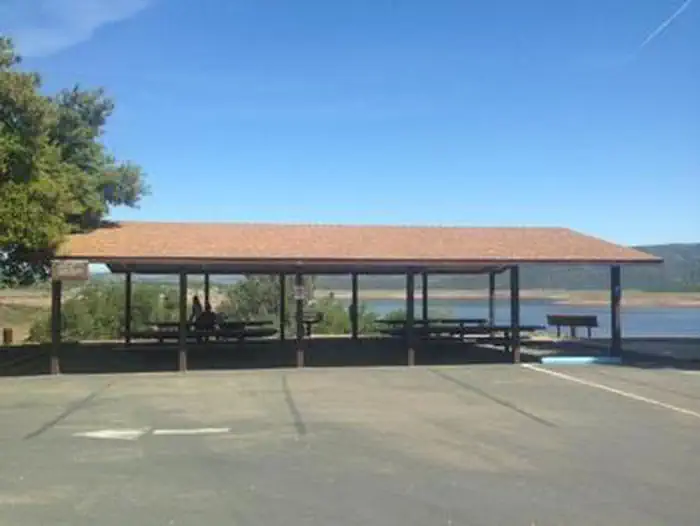 Observation Point Picnic Shelter (Ca)Campground · 1 sites
Overview New Hogan Dam and Lake is located in the oak- and brush-covered foothills of the Sierra Nevada Mountains.
 Observatory CampgroundCampground · 28 sites
Overview Science buffs and families are drawn to Observatory Campground for its proximity to the Palomar Observatory, a world-class center of astronomy…
 Obsidian FlatCampground · 1 sites
Overview Obsidian Flat Group Campground, located just outside of Mammoth Lakes, California, provides an opportunity for a group to enjoy a secluded getaway in…
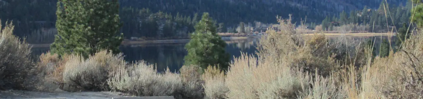 Oh RidgeCampground · 138 sites
Overview The outstanding lake and mountain views at Oh Ridge Campground make it a favorite spot for both families and anglers.
- Old IsabellaFacility · not watchable
Located off Highway 178 on the southern side of Lake Isabella, this facility offers visitors a vault toilet, trash service, a visitor information station, and…
 Old Shady Rest CampgroundCampground · 45 sites
Overview Old Shady Rest Campground is a large facility convenient to numerous outdoor activities and attractions in the eastern Sierra Nevada Mountains, and…
- Old Station Visitor Information CenterFacility · not watchable
The Old Station Visitor Information Center is the hub of the Hat Creek recreation area.
 Onion ValleyCampground · 29 sites
Overview This quiet campground is set amidst breathtaking scenery of rugged mountain peaks, thick forests and waterfalls in the Onion Valley area of the…
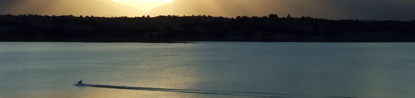 Orland ButtesCampground · 35 sites
Overview Orland Buttes Recreation Area is at Black Butte Lake, situated at the northern end of the Sacramento valley, 100 miles north of Sacramento, CA and 30…
- Orleans Ranger DistrictFacility · not watchable
The District is one of four on the Six Rivers National Forest, encompassing approximately 500,000 acres.
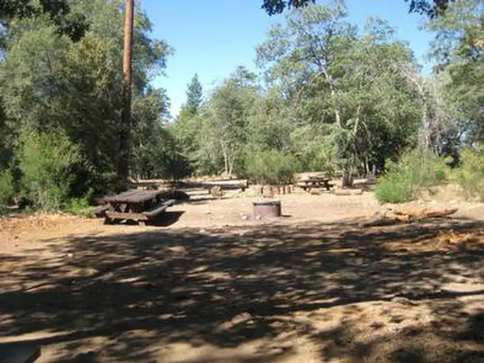 Oso GroupCampground · 1 sites
Overview The Oso Group Campground is nestled in the beautiful Barton Flats area of the San Bernardino Mountains.
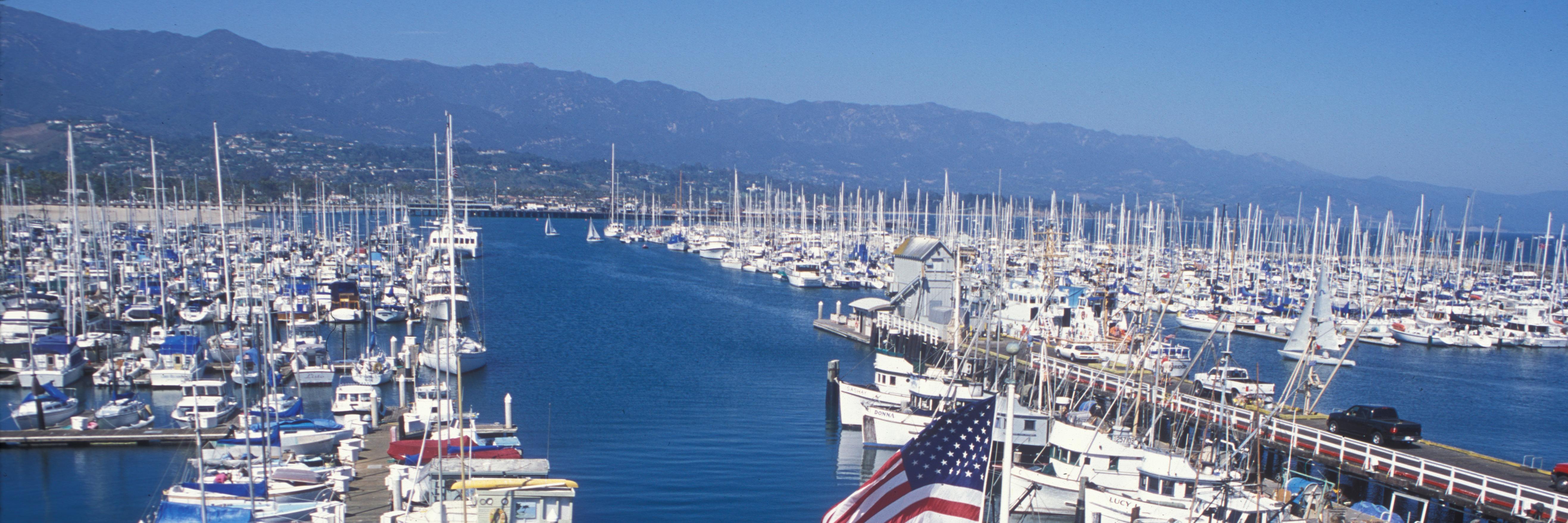 Outdoors Santa Barbara Visitor CenterFacility · not watchable
The small Outdoors Santa Barbara Visitor Center not only has one of the best views of Santa Barbara, but also offers visitors information about Channel Islands…
- Oxbow Raft Put-in SiteFacility · not watchable
Located on the Middle Fork American River, this is the place to put in for the runs down to Ruck-a-Chucky, Mammoth Bar, or the Confluence.
- Packers Bay Public Boat RampFacility · not watchable
Located on the Sacramento Arm of Shasta Lake, the Packers Bay boat ramp is paved. It has four lanes available until 50 feet of drawdown, and then has two lanes…
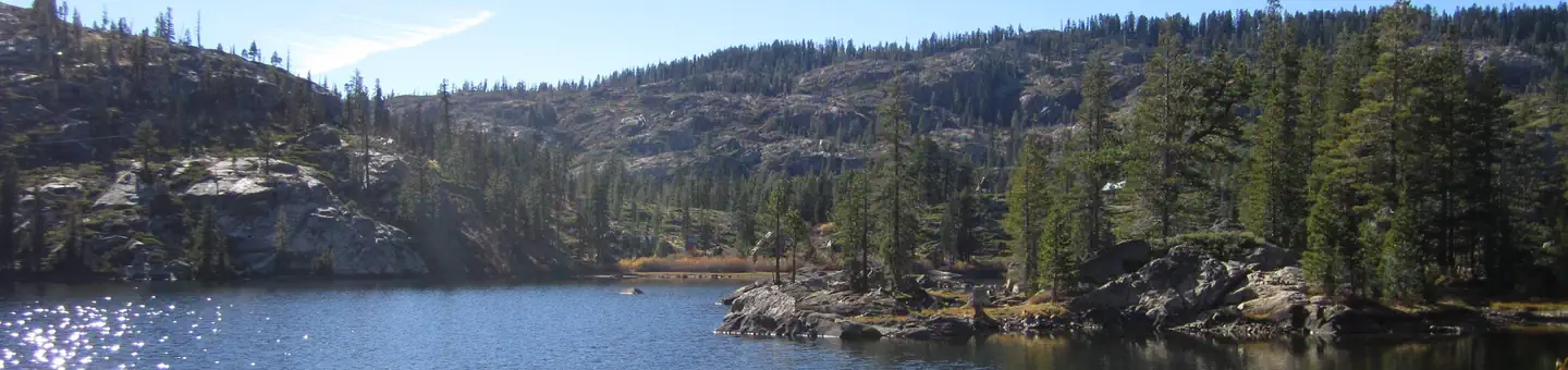 PacksaddleCampground · 16 sites
Overview Packsaddle Campground is located in the Packer Lake area near the Sierra Buttes, north of the Yuba River.
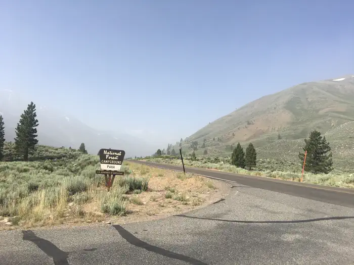 PahaCampground · 21 sites
Overview Paha Campground is located just 10 miles from Bridgeport, California, next to Robinson Creek at an elevation of 7,000 feet.
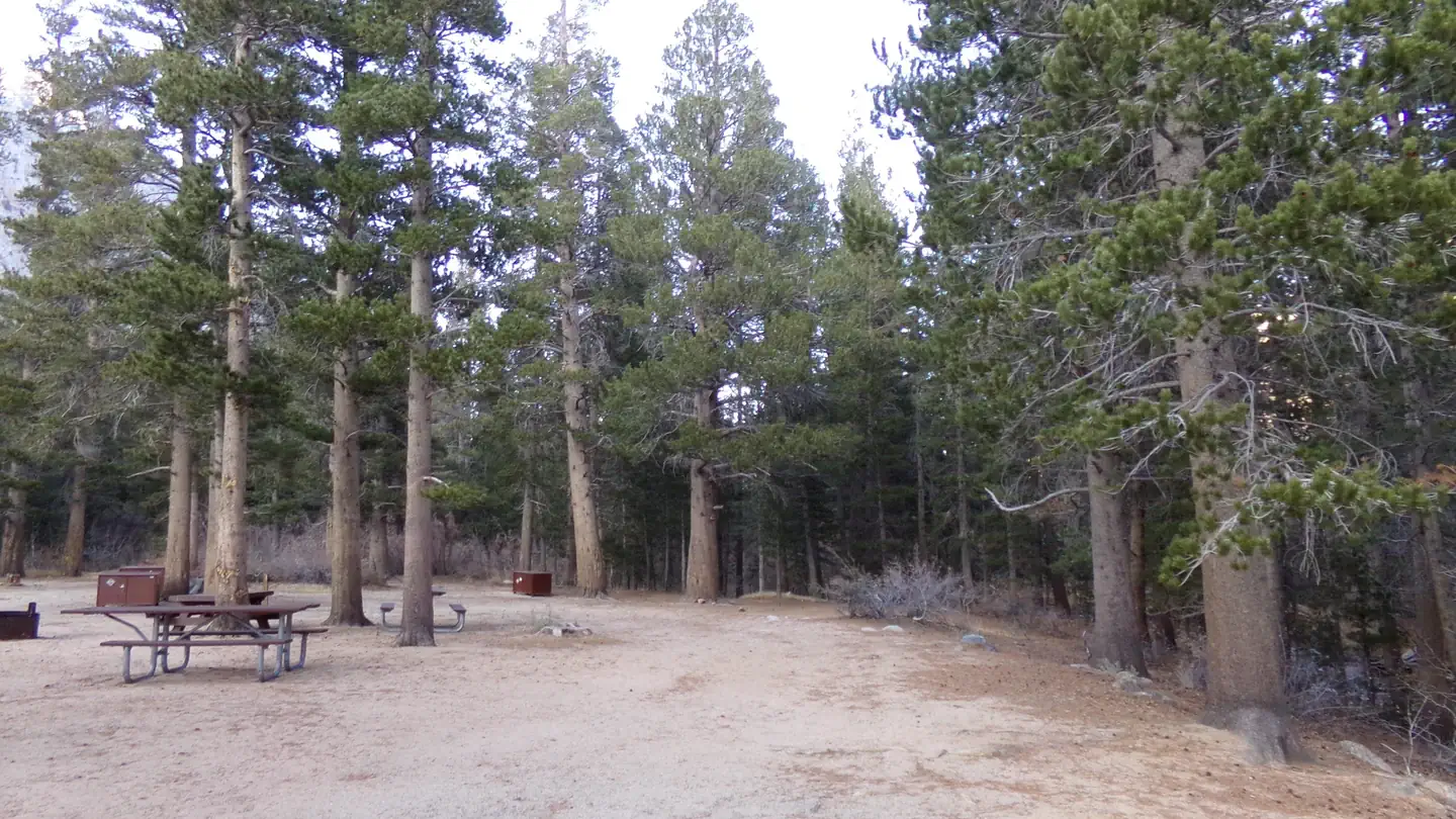 Palisades Group CampgroundCampground · 1 sites
Overview Palisades Group Campground lies along Rock Creek in Inyo National Forest, near Mammoth Lakes and Bishop, California.
- Palm Springs Aerial TramwayFacility · not watchable
Trails leave the Tramway (8615 feet.) for Round Valley, elevation gain 600 feet. San Jacinto Peak, elevation gain 2300 feet; and the National Forest Wilderness…
 Panther Flat CampgroundCampground · 38 sites
Overview Panther Flat Campground sits in the vast Six Rivers National Forest in northern California.
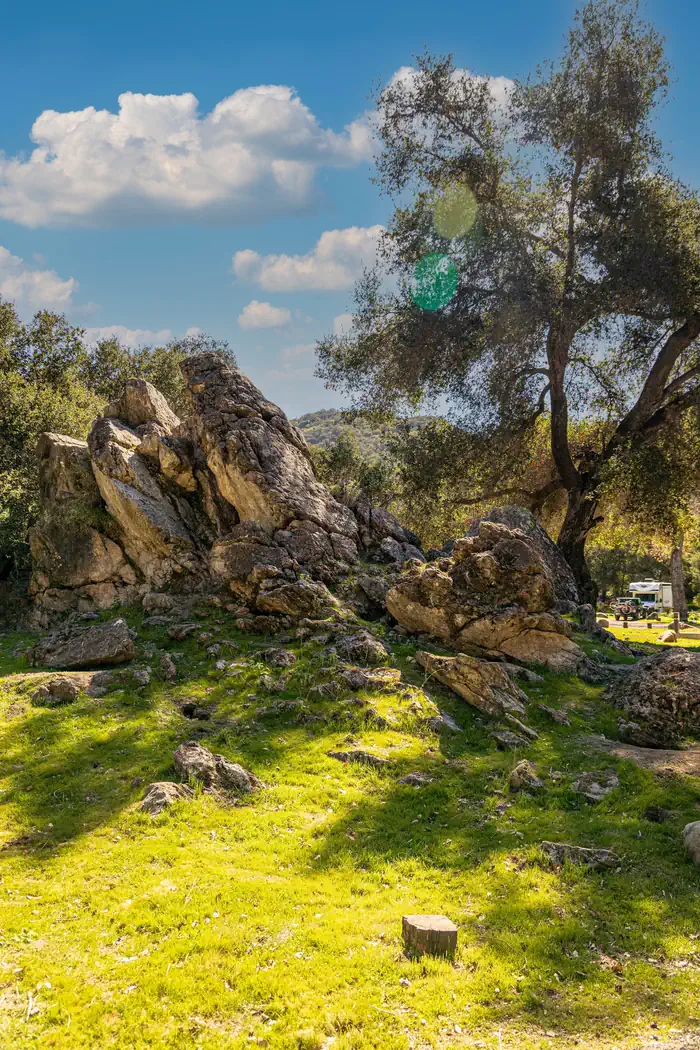 Paradise CampgroundCampground · 14 sites
Overview Paradise Campground is a beautiful place to enjoy California's westernmost national forest.
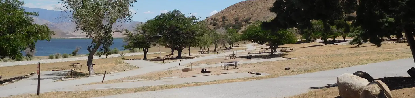 Paradise CoveCampground · 51 sites
Overview Paradise Cove Campground sits near Lake Isabella in the beautiful Sequoia National Forest.
- Paradise Royale Mt Bike TrailFacility · not watchable
Contact the King Range Project Office for updated trail conditions (707) 986-5400.
- Pardoes Point CampgroundCampground · not watchable
Recreation Opportunity Guides (ROG) - These guides contains information, maps, and directions to assist you in enjoying your trip to the Eldorado National…
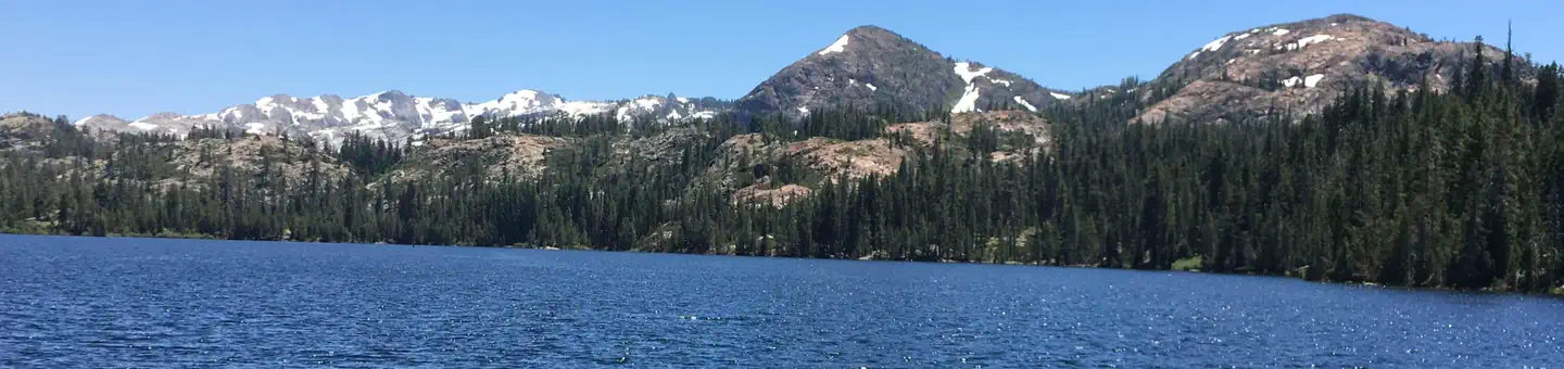 Pass Creek CampgroundCampground · 30 sites
Overview Pass Creek Campground is located on scenic Jackson Meadow Reservoir, in the Tahoe National Forest.
- Patrick Creek CampgroundCampground · 13 sites
Overview Patrick Creek Campground sits at the confluence of Patrick Creek and the middle fork of Smith River in the vast Six Rivers National Forest of northern…
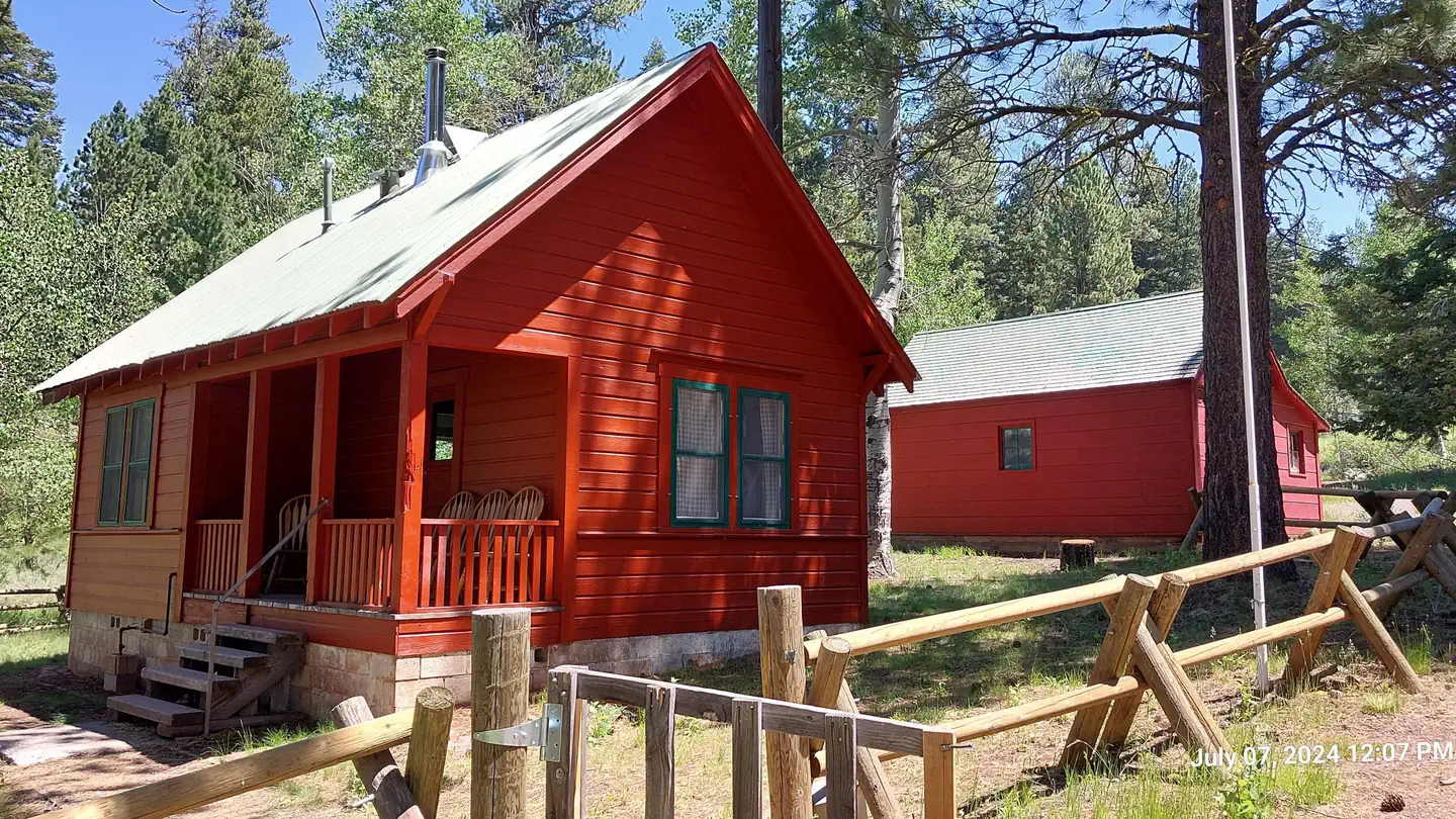 Patterson Guard StationCampground · 1 sites
Overview *Altitude is 7,080 feet above sea level* Set on the edge of a meadow surrounded by Aspen, Fir and Pine trees, Patterson Guard Station has stood since…
 Pearch Creek CampgroundCampground · 10 sites
Overview Open mid-May through mid-October. Campsite List calendar is for the next reservable dates.
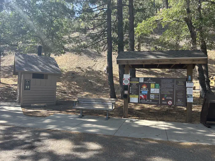 Peavine CampgroundCampground · 4 sites
Overview Just northwest of the Los Angeles metro area, Peavine provides a scenic and relaxing destination for camping, hiking, picnicking and wildlife viewing.
- Peavine CampgroundCampground · not watchable
6.100-foot elevation. 4 tent sites. No water. Vault toilets. Adventure Pass required for vehicles parked at campground. First come - first served.
 Peltier Bridge Primitive CampgroundCampground · 9 sites
Overview This tent-only campground is located in the southeast corner of Whiskeytown National Recreation Area, 13.5 miles west of Redding, California, and…
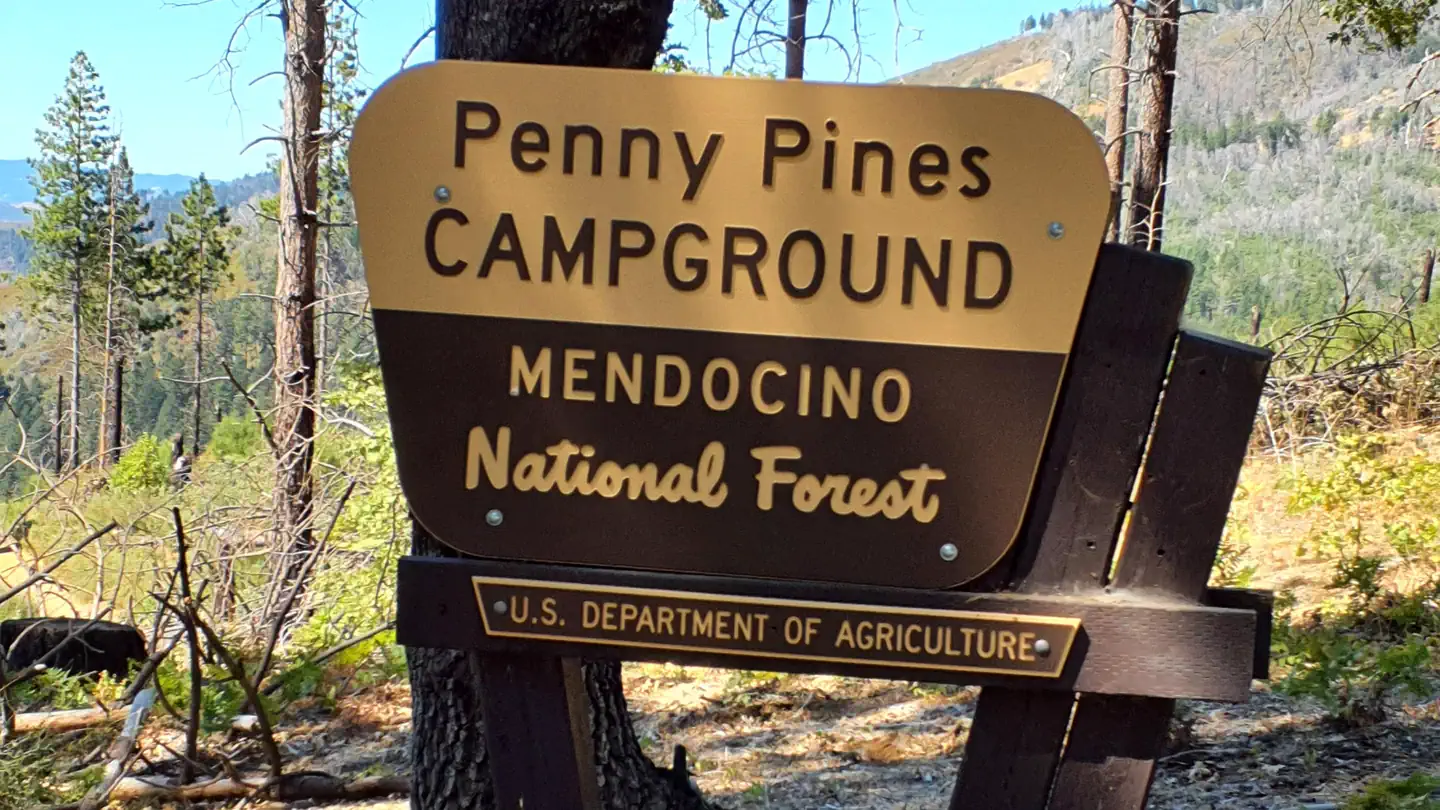 Penny Pines CampgroundCampground · 10 sites
Overview This location is available on a first-come, first-served basis only. Visitors are required to physically arrive at the campground to purchase and…
- Pepperdine Equestrian CampgroundFacility · not watchable
The campsites are mostly shaded and enjoy serene surroundings and are equiped with 12' X 12' metal corrals. A short trail runs over to the start of the Summit…
- Persido Bar River AccessFacility · not watchable
Located approx. 19 miles upstream from Orleans, this access offers a bathroom, information kiosk and plenty of river access for bank fishing.
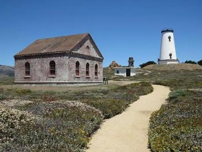 Piedras Blancas Light StationTickets
Overview: The Piedras Blancas Light Station is a historic landmark on California's central cost.
- Pigeon Flat CampgroundCampground · not watchable
Pigeon Flat Campground is a walk-in campground situated along the banks of the Stanislaus River.
- Pilot Rock OHV Road 2N33Facility · not watchable
This road travels 11.8 miles from the Cedar Springs Dam at Lake Silverwood to State Highway 173 just north of Lake Arrowhead.
- Pine Creek TrailheadFacility · not watchable
Pine Creek Trailhead Distance 13.8 miles one way Pets Allowed Yes Fees Adventure Pass Required Hike/Ride Time 1 to 2 days Difficulty Moderate - Strenuous…
 Pine GlenCampground · 17 sites
Overview Recreation The Mammoth Lakes area has much to keep campers busy. The majestic scenery and challenging trails are an obvious draw for hikers, mountain…
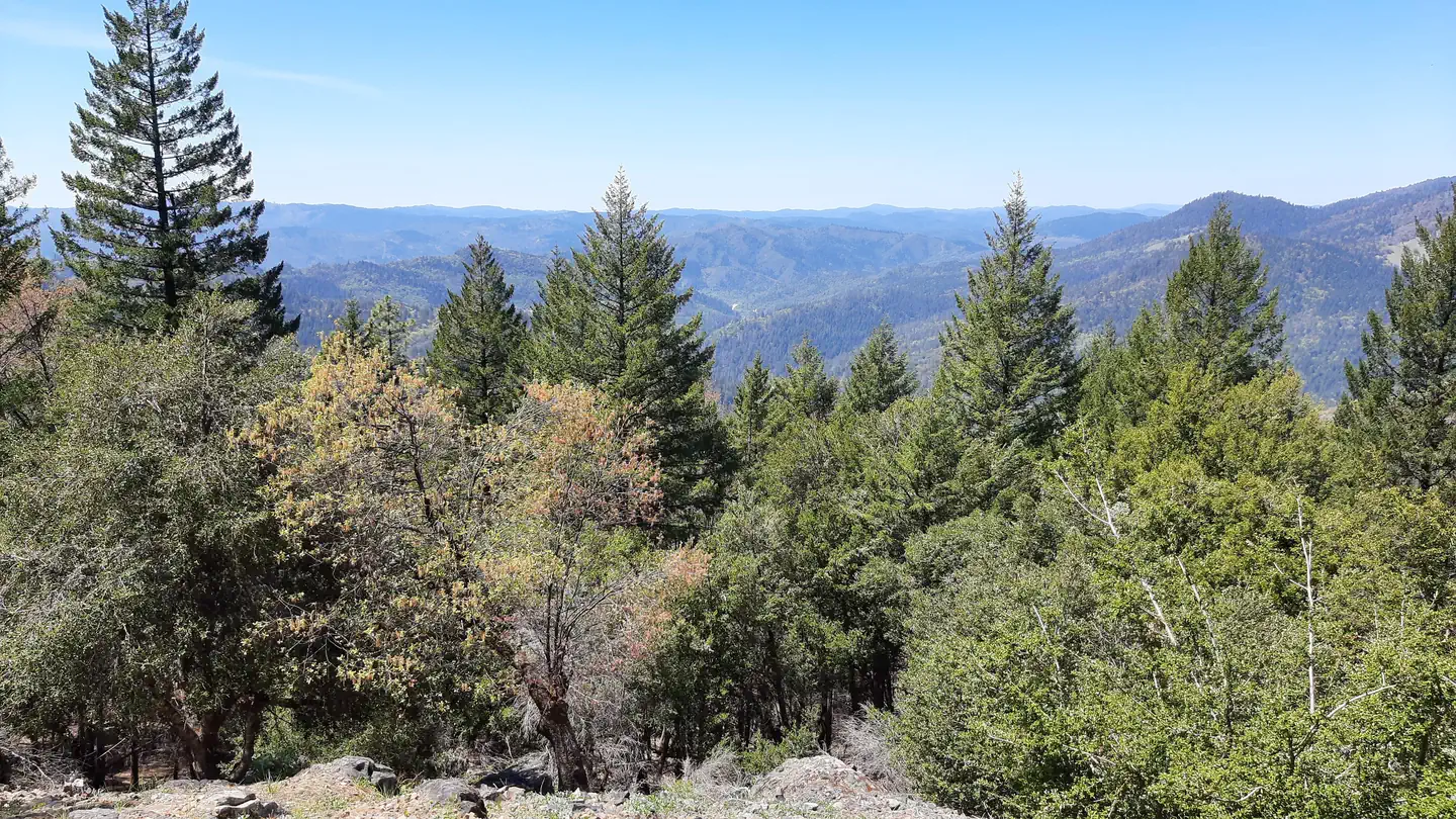 Pine Mountain LookoutCampground · 1 sites
Overview Rustic Pine Mountain Lookout was constructed in 1933 and used for fire detection until 1942.
 Pine Point (Shasta Lake, CA)Campground · 1 sites
Overview Pine Point Campground is situated along the McCloud Arm of Shasta Lake and offers sites to both tent and RV campers.
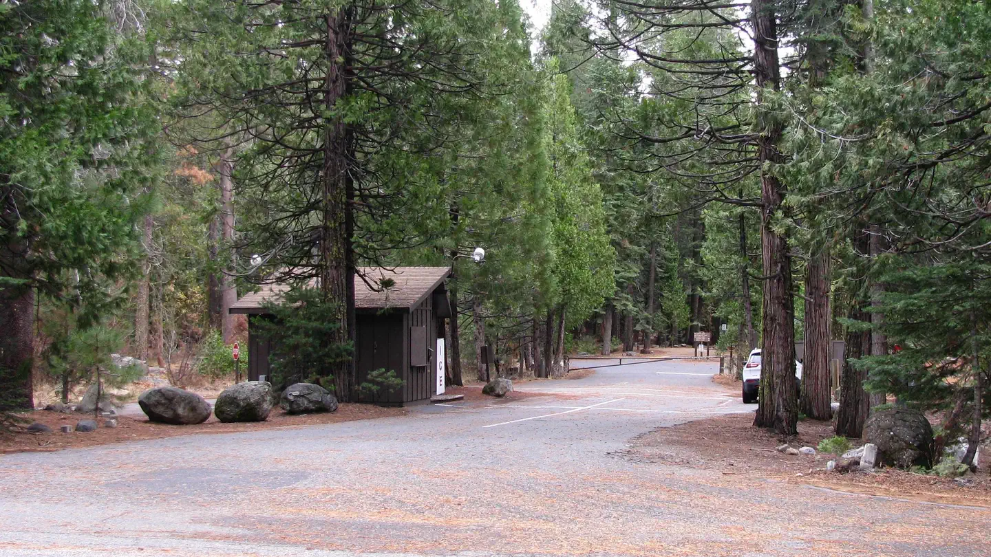 PinecrestCampground · 196 sites
Overview Pinecrest features a large campground by Pinecrest Lake, just 30 miles east of Sonora, at an elevation of 5600 feet.
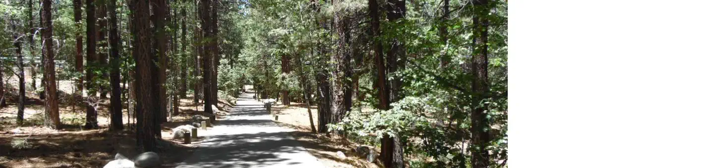 PineknotCampground · 47 sites
Overview Pineknot Campground is located in the mountains of San Bernardino at Big Bear Lake.
- Pines CampgroundCampground · not watchable
The Pines Campground is on a mixed conifer forested site adjacent to the Little Golden Forest Trail and near the Groveland Ranger District Office.
 Pines Group StanislausCampground · 1 sites
Overview Pines Group Campground attracts large families and groups friends with its convenient location, just 15 miles from the Yosemite National Park boundary…
 Pines StanislausCampground · 11 sites
Overview Pines Campground is conveniently located, just 15 miles from the Yosemite National Park boundary in northern California.
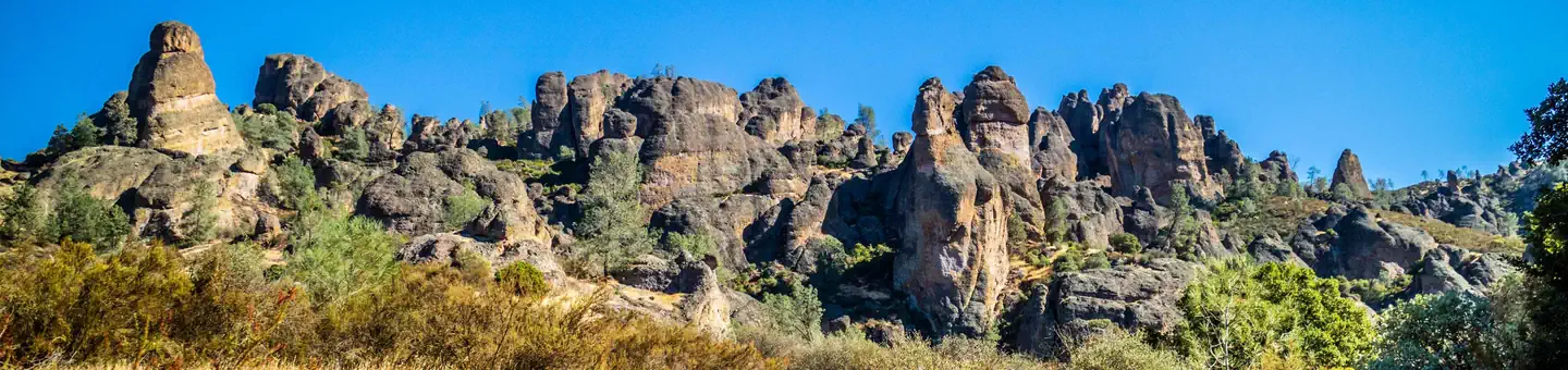 Pinnacles CampgroundCampground · 134 sites
Overview Pinnacles Campground is located in the unique Pinnacles National Park, 32 miles south of Hollister, California.
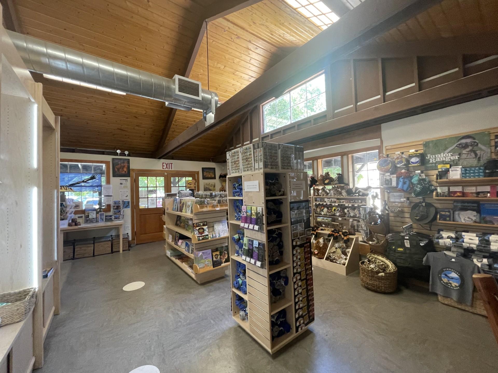 Pinnacles Park StoreFacility · not watchable
Get your passport stamped and buy the official park souvenirs, all at the park store!
- Pinyon Flat CampgroundCampground · not watchable
Pinyon Flat is an 18-site first-come first-served campground located within the Santa Rosa and San Jacinto Mountains National Monument.
- Pioneer Mail Picnic SiteFacility · not watchable
Pioneer Mail Picnic Area Distance 2.3 miles with connecting trail options Pets Allowed Yes Fees Adventure Pass Required Hike/Ride Time Half to Full day…
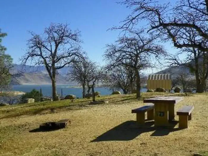 Pioneer PointCampground · 80 sites
Overview Reservations not being accepted. Pioneer Point is a high-desert campground near Lake Isabella in the Sequoia National Forest.
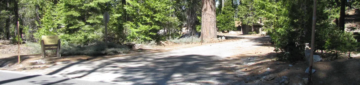 Pioneer TrailCampground · 3 sites
Overview Pioneer Trail Group Campground offers groups of up to 100 people the opportunity to camp near the beautiful Pinecrest Lake.
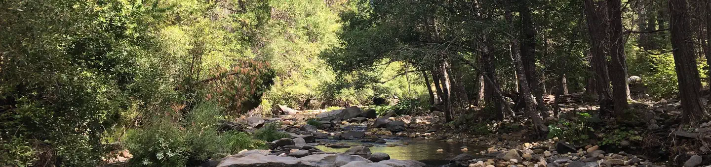 Pipi CampgroundCampground · 50 sites
Overview Pipi Campground (pronounced "pie pie") offers RV and tent camping along the Middle Fork of the Cosumnes River, offering great fishing and swimming…
- Pit River CampgroundCampground · not watchable
The Pit River Recreation area is adjacent to the Pit River, has a small campground with eight campsites with tables, metal firerings, and barbeque pits.
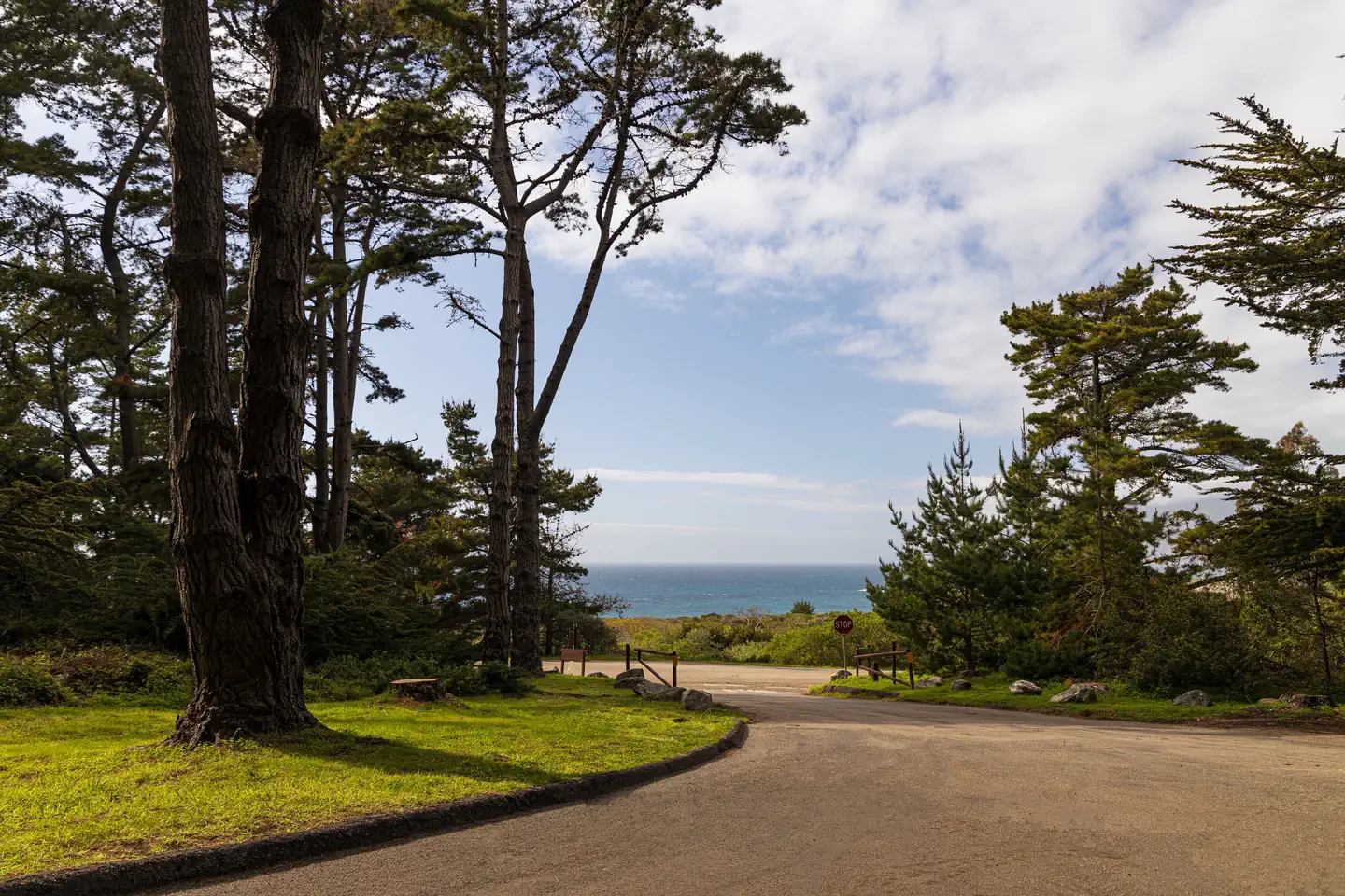 Plaskett Creek CampgroundCampground · 46 sites
Overview Plaskett Creek Campground offers a beautiful location just minutes from Sand Dollar Beach, one of the largest and most popular beaches in central…
- Pleasant CampgroundCampground · not watchable
Small boat or hike in campground on the east shore of Loon Lake campground. Access via the Loon Lake Trailhead or boatramp at Loon Lake Campground.
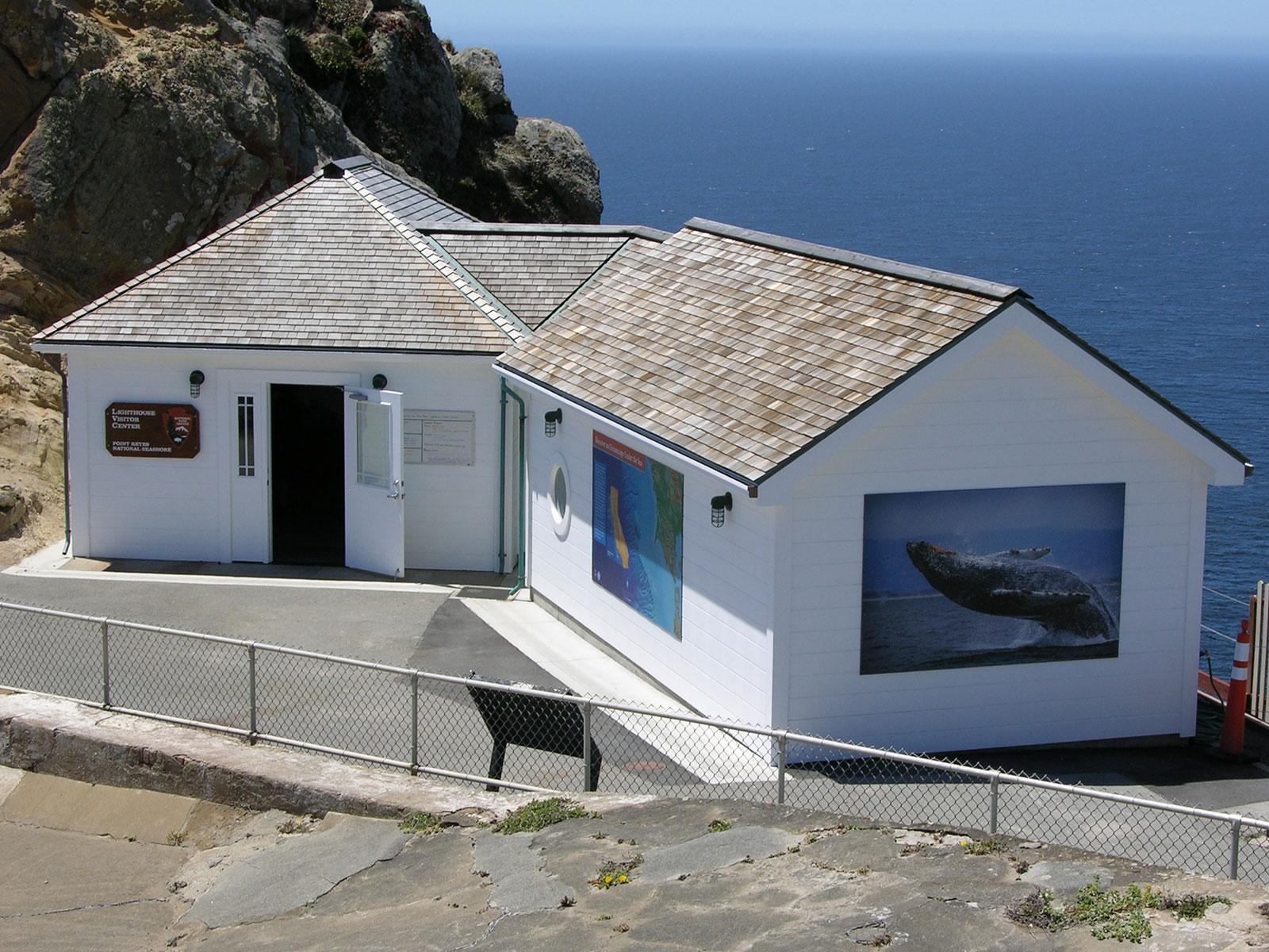 Point Reyes Lighthouse Visitor CenterFacility · not watchable
The Lighthouse Visitor Center (LHVC) offers exhibits on the Point Reyes Lighthouse, marine life, & maritime history, as well as a small bookstore.
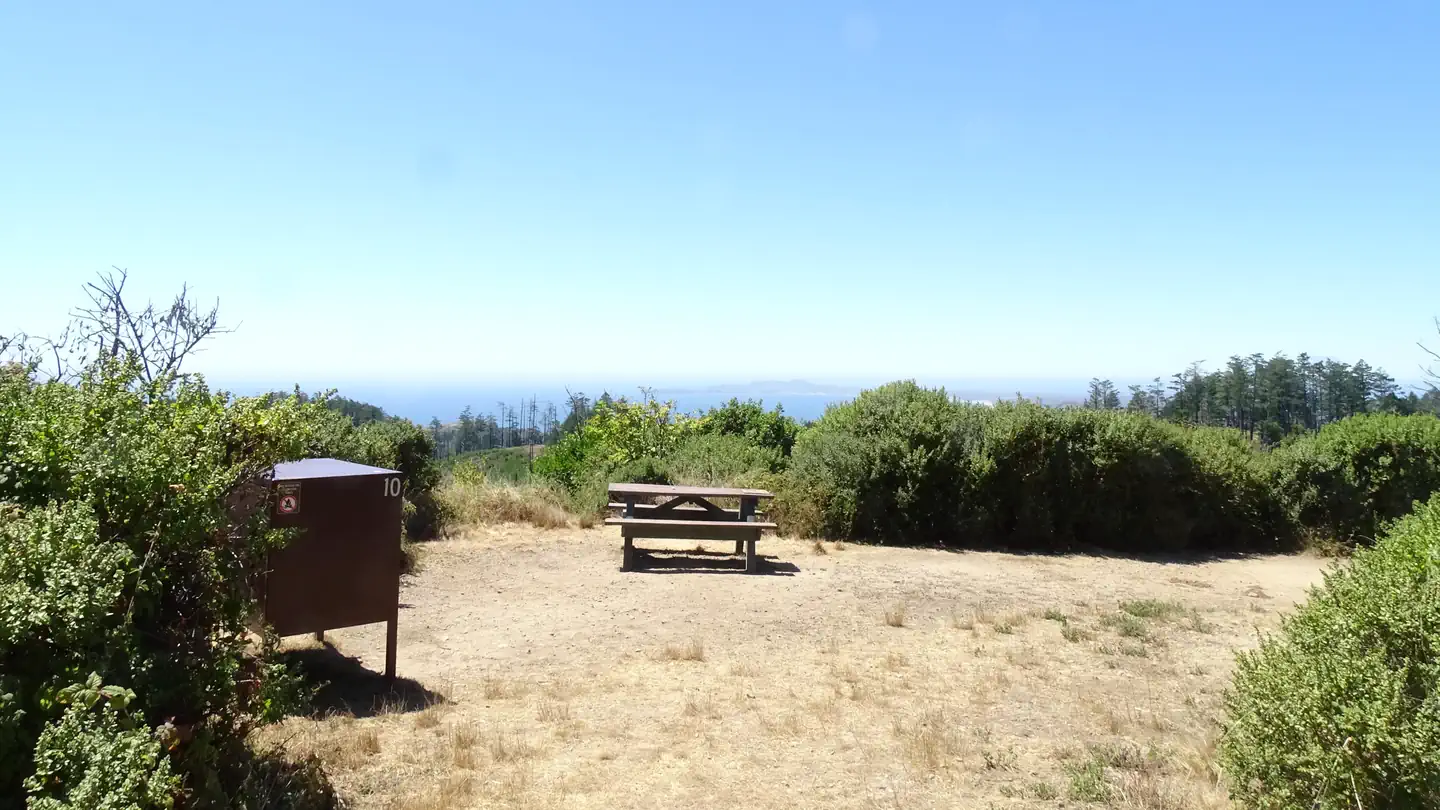 Point Reyes National Seashore CampgroundCampground · 73 sites
Overview Point Reyes National Seashore offers four backcountry hike in campgrounds and thirteen boat in campsites along Tomales Bay. Note: For reservation…
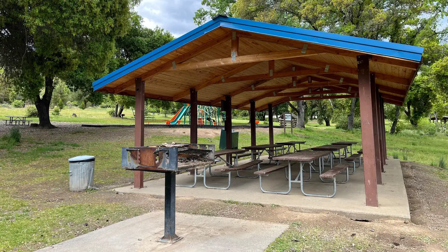 Pomo Day Use AreaCampground · 3 sites
Overview Pomo Day-Use Area is situated on Lake Mendocino in California's Mendocino Range, where the redwood forests meet California wine country.
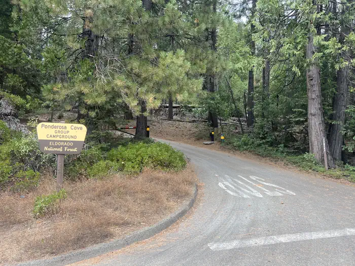 Ponderosa Cove CampgroundCampground · 1 sites
Overview Ponderosa Cove greets group campers with shaded campsites close to scenic Stumpy Meadows Reservoir.
 Poso Guard Station CabinCampground · 1 sites
Overview The Poso Guard Station Cabin is situated on a mountain top in the Giant Sequoia National Monument in the Sequoia National Forest.
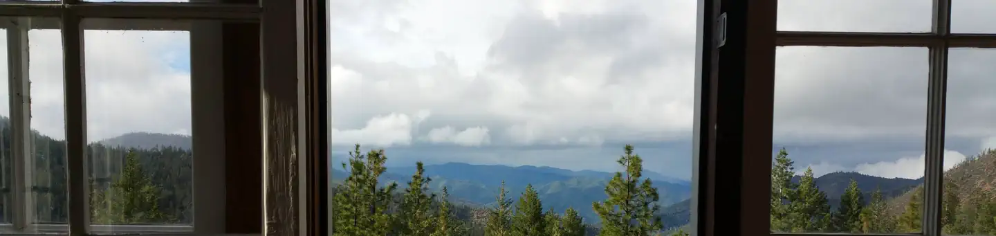 Post Creek Guard StationCampground · 1 sites
Overview Post Creek Guard Station was built in 1934 by the Civilian Conservation Corps for use as a wildfire lookout. It is now available for recreational use.
- Potato Patch CampgroundCampground · not watchable
Potato Patch Campground is shaded by towering pines and firs and conveniently located along Deer Creek.
 Potwisha CampgroundCampground · 37 sites
Overview Potwisha Campground, located along the Generals Highway in Sequoia National Park, offers convenience for visiting the many attractions in the park.
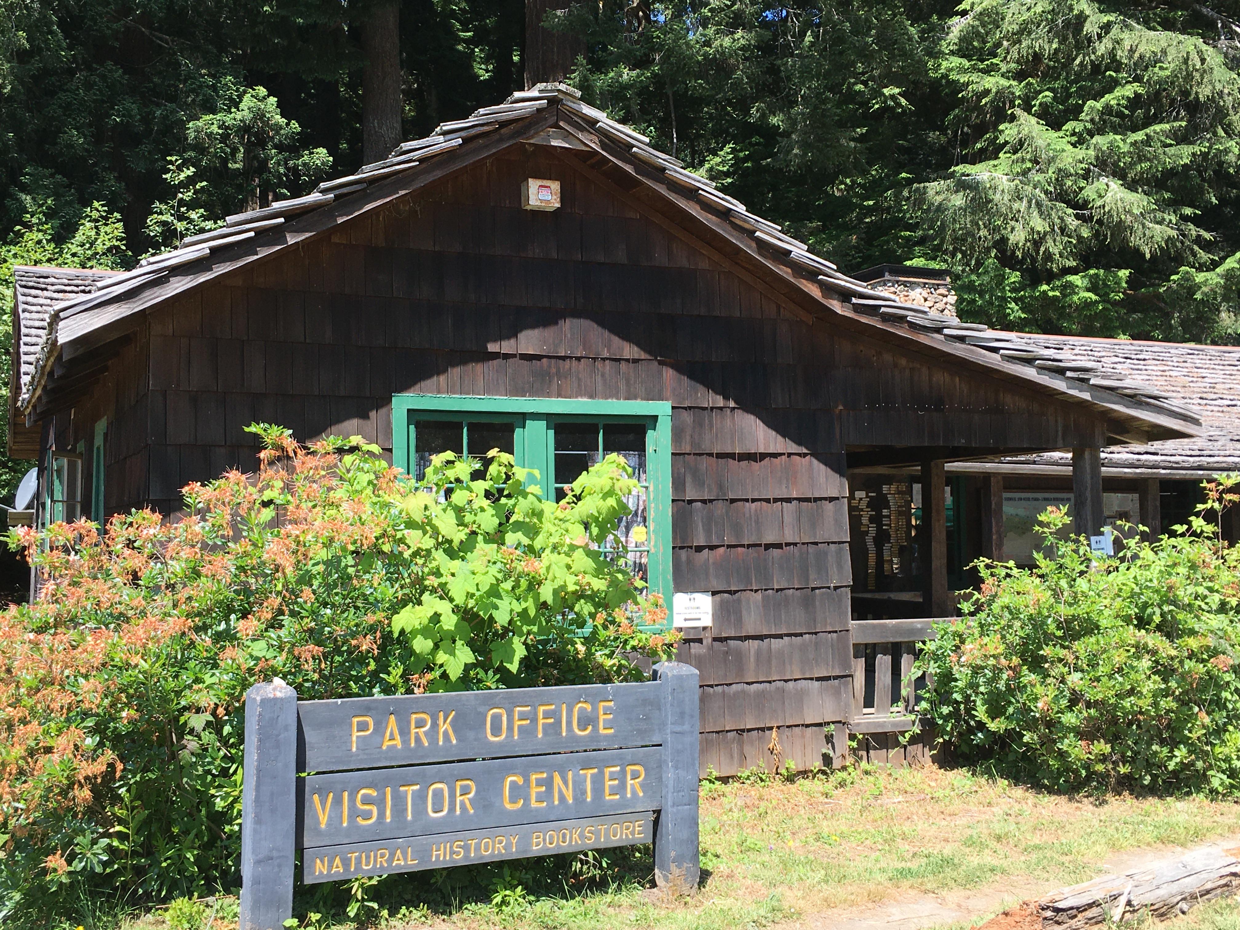 Prairie Creek Visitor CenterFacility · not watchable
Located just off the Newton B. Drury Scenic Parkway - in the heart of Prairie Creek Redwoods State Park.
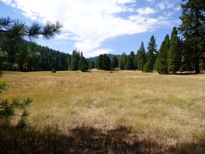 PrincessCampground · 82 sites
Overview Princess Campground sits next to a large meadow at an elevation of 5,900 feet in the Indian Basin Grove.
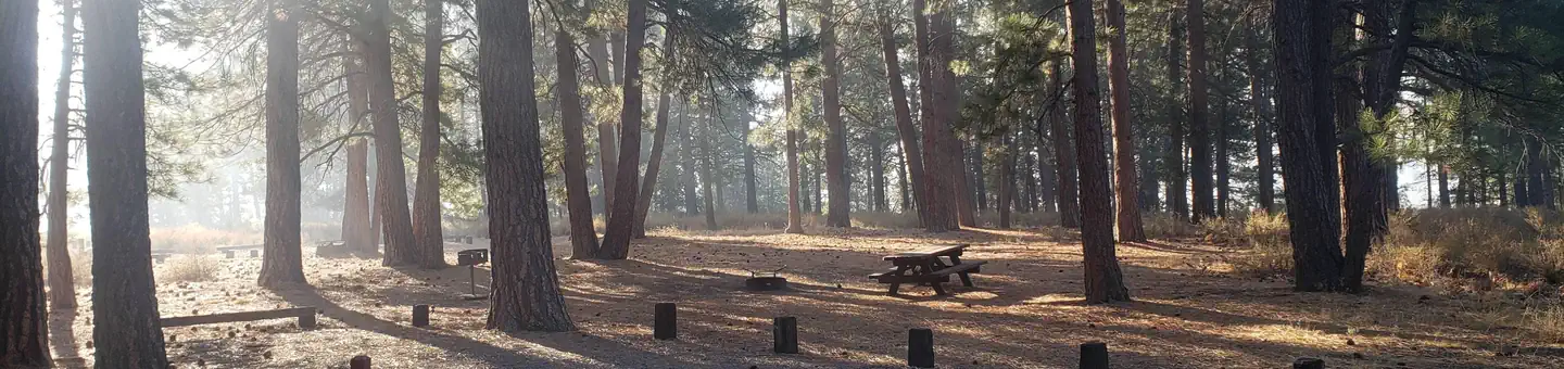 Prosser FamilyCampground · 29 sites
Overview Prosser Family Campground is located on the picturesque Prosser Reservoir within the Tahoe National Forest, 10 minutes north of Truckee.
- Prosser Hill OHV routes.Facility · not watchable
Location: From Truckee take Highway 89 North approximately 4 miles north from I-80. Follow the signs to the Prosser Hill OHV Staging Area. Turn left at sign.
- Prosser Pits OHV AreaFacility · not watchable
Please read information on bulletin board at entrance to Prosser Pits before proceeding into the area. Features: Suitable for motorcycles and OHV use.
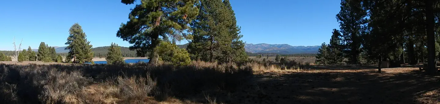 Prosser Ranch GroupCampground · 1 sites
Overview Prosser Ranch Group Campground is located on the picturesque Prosser Reservoir, within the Tahoe National Forest, about 10 minutes north of Truckee.
- Prosser Reservoir - Water RecreationFacility · not watchable
Prosser Reservoir -Speed restricted use - Power boating is allowed, but a 10-mph speed limit is enforced.
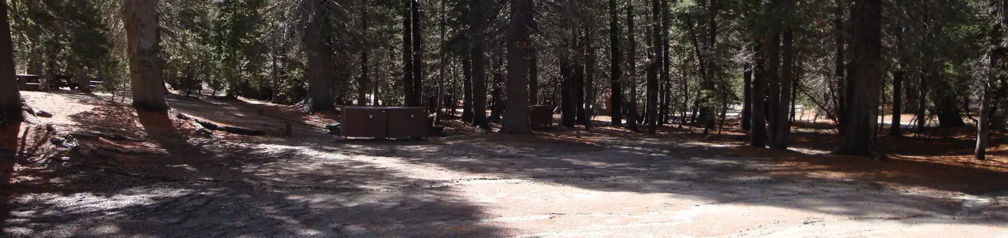 Pumice Flat Group CampCampground · 4 sites
Overview Pumice Flat Group Camp is located in the Red's Meadows and Devils Postpile section of the eastern Sierra Nevada Mountains, just west of the…
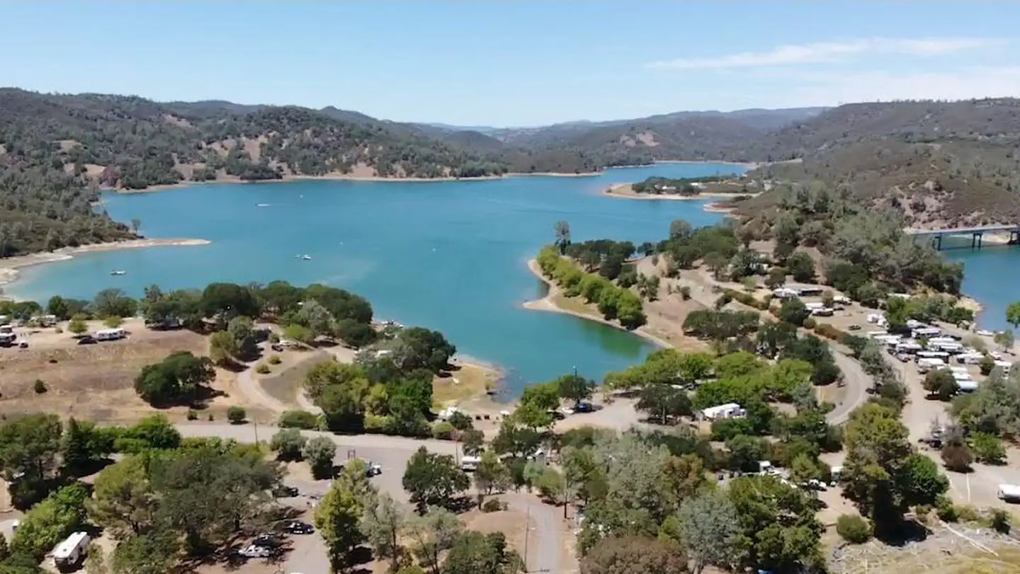 Putah Canyon Campground- Napa, CA (BOR)Campground · 160 sites
Overview Located in beautiful Napa County, Putah Canyon Campground is approximately 1/2 mile north of Pope Canyon Road, on Berryessa Knoxville Road, Napa, CA.
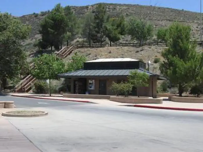 Pyramid Lake - Emigrant Landing Day Use AreaCampground · 151 sites
Overview This facility does not accept reservations. Emigrant Landing is the largest day use recreation area on beautiful Pyramid Lake.
 Pyramid Lake - Los Alamos CampgroundCampground · 96 sites
Overview Los Alamos Campground is located 90 minutes from Los Angeles, offering a restful experience without the lengthy travel time.
- Quail Flat Winter TrailheadFacility · not watchable
Quail flat is a developed staging area with a vault toilet and parking, located on the General’s Highway.
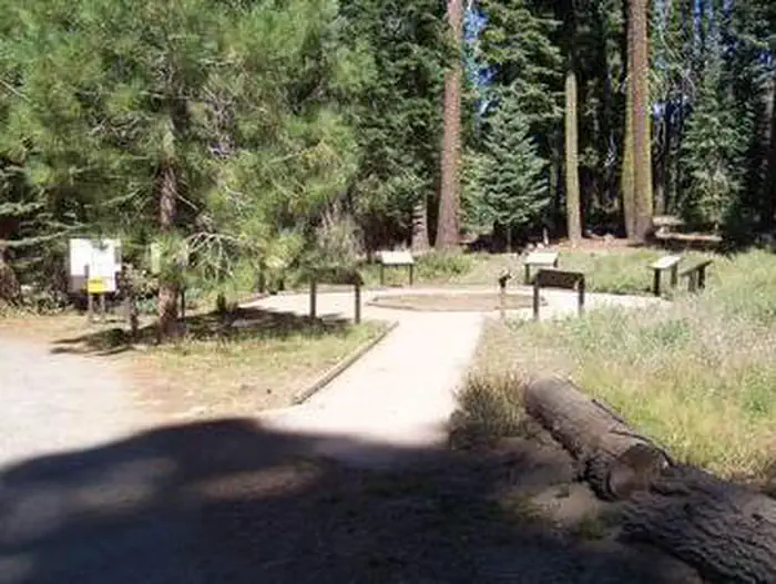 Quaking AspenCampground · 39 sites
Overview Quaking Aspen Campground is situated in the Giant Sequoia National Monument near numerous distinctive sequoia groves, including McIntyre Grove and…
 Quaking Aspen CabinCampground · 1 sites
Overview Quaking Aspen Cabin is situated in the Sequoia National Forest, about an hour from Springville, California.
- Quartz Mountain TrailheadFacility · not watchable
There are two routes to get to the Quartz Trailhead: All overnight stays in the wilderness require a wilderness permit. 1.
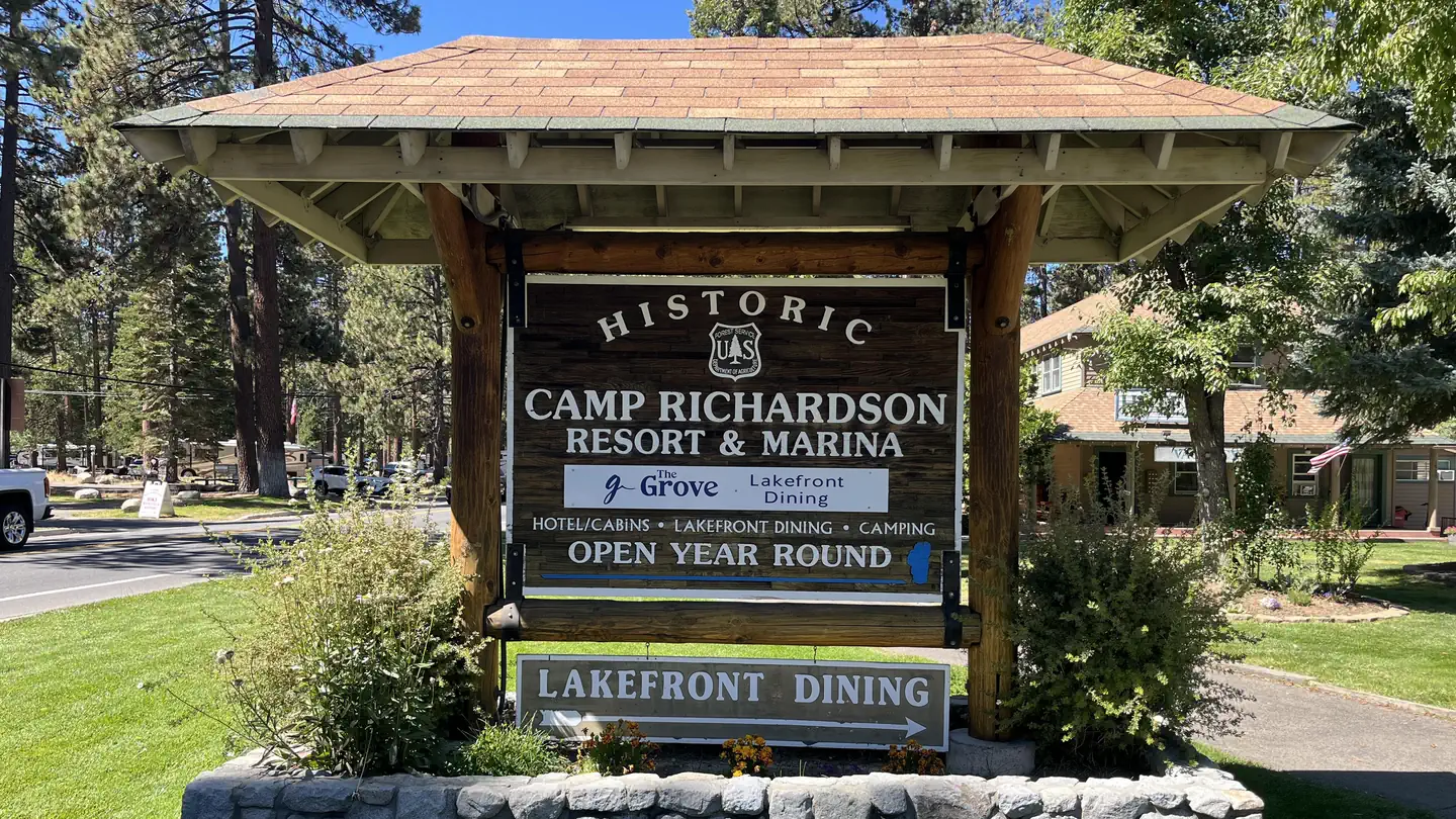 RV Village Campground at Camp Richardson ResortCampground · 98 sites
Overview The RV Village provides a Lake Tahoe and Camp Richardson Resort experience unlike any other.
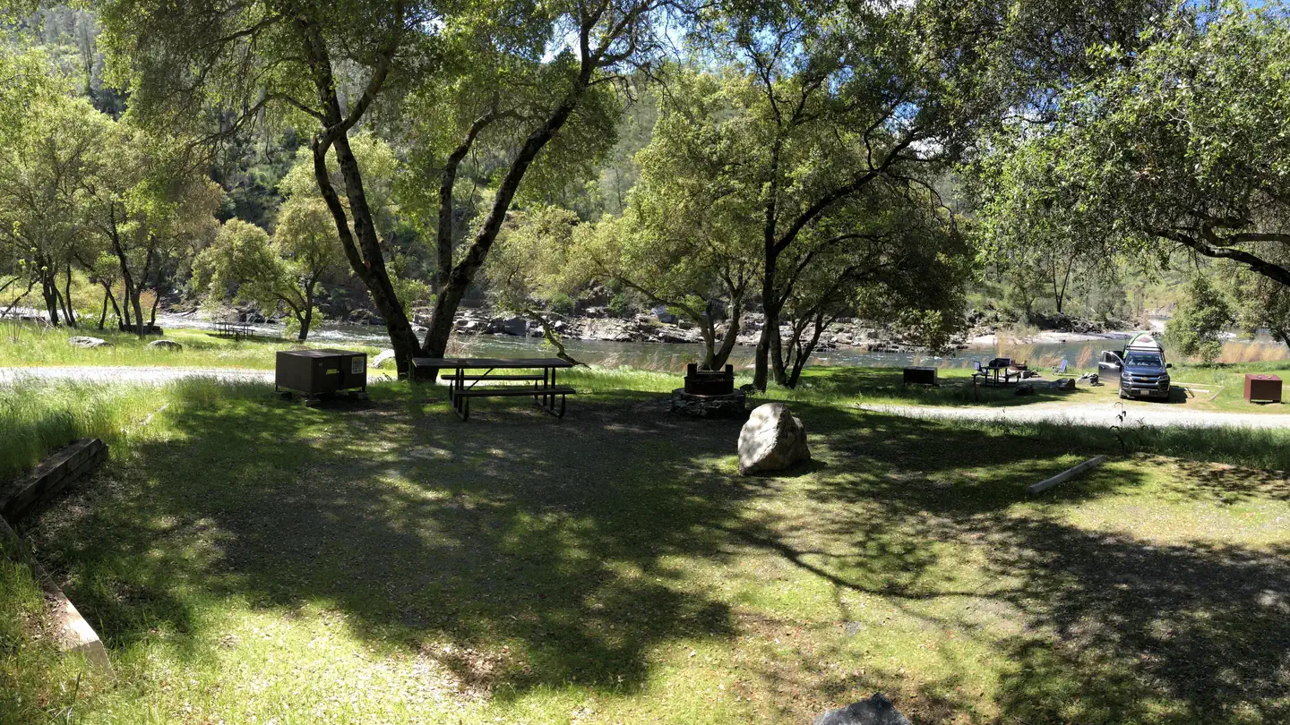 Railroad Flat CampgroundCampground · 9 sites
Overview Merced River Recreation Management Area Overview The Merced River Recreation Area is a special place just downstream from Yosemite.
 Rainbow Basin/Owl Canyon CampgroundCampground · not watchable
Overview Rainbow Basin Natural Area is an Area of Critical Environmental Concern with outstanding views and geological and paleontological features..
- Rainbow Pool Day Use AreaFacility · not watchable
Along Highway 120 at the South Fork Tuolumne River bridge. Originally a toll stop in the stagecoach days, later a popular resort until 1958 when fire burned…
- Ralston Picnic SiteFacility · not watchable
Located twelve miles east of Foresthill on Mosquito Ridge Road (forest road 96) and one mile south on Forest Road 23.
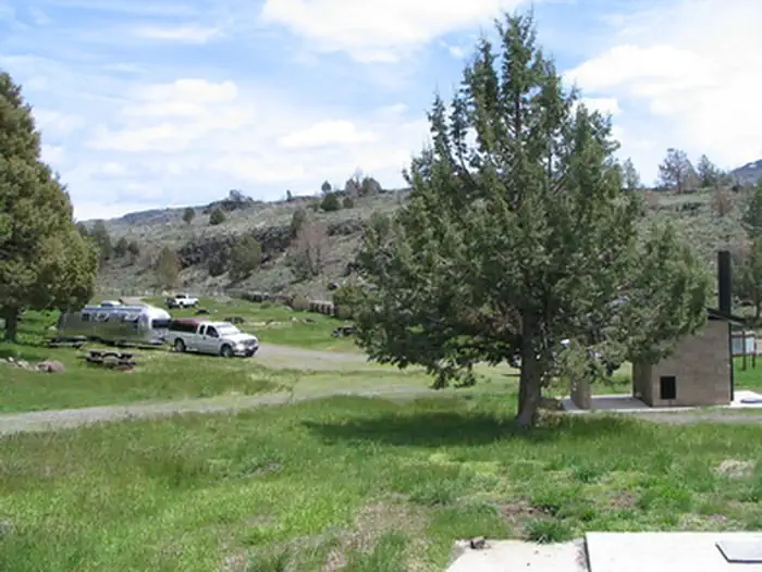 Ramhorn Springs CampgroundCampground · not watchable
Ramhorn Springs is a small water source located in a high desert setting that has been utilized by travelers and ranchers for many years.
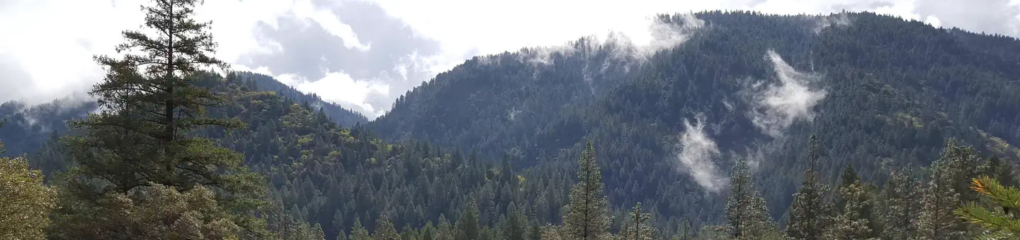 RamshornCampground · 16 sites
Overview Ramshorn Campground is located off of Highway 49, in the North Yuba River area west of Downieville.
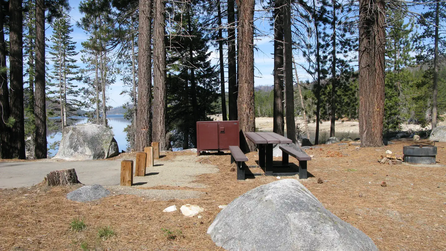 RancheriaCampground · 127 sites
Overview Rancheria Campground is located on the shores of Huntington Lake near the Kaiser Wilderness.
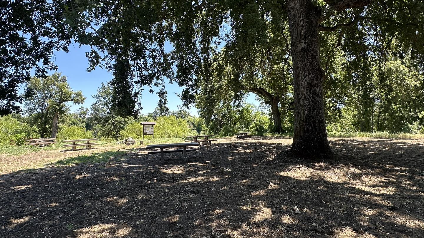 Reading Island Group CampgroundCampground · 1 sites
Overview Reading Island Group Campground is located on the beautiful Sacramento River in Shasta County, California.
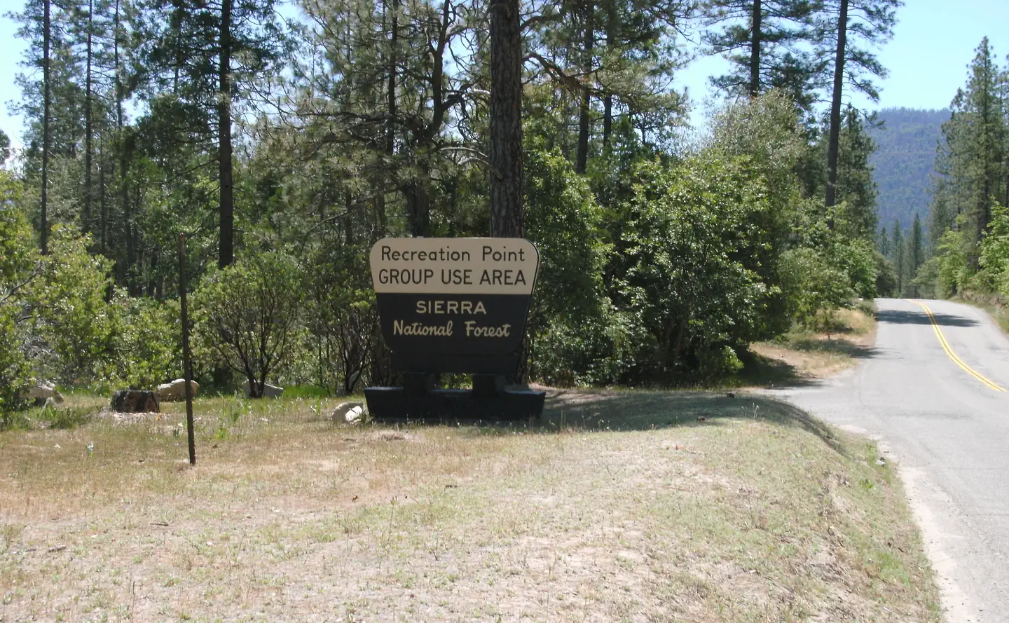 Recreation PointCampground · 7 sites
Overview Recreation Point is nestled in a partially shaded cove overlooking the northern end of Bass Lake.
- Red Bluff Recreation Area Boat RampActivity pass
The sparkling Sacramento River bisects 488 acres of riparian forest, flowering grasslands, wetlands, and oak woodlands providing very diverse nature viewing…
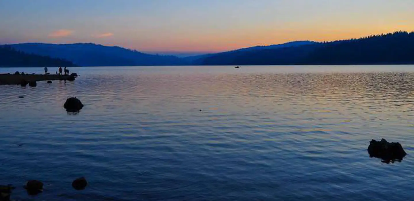 Red Feather CaliforniaCampground · 59 sites
Overview Red Feather Campground is located on the eastern shore of Little Grass Valley Reservoir, providing visitors with ample opportunity to fish, swim,…
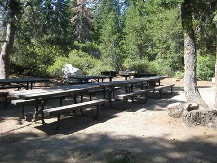 Red FirCampground · 1 sites
Overview Situated on the north side of the Loon Lake Reservoir, Red Fir Group Campground offers a primitive group camping experience in the lush Eldorado…
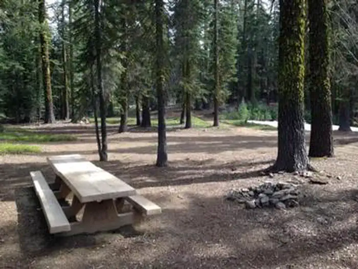 Red Fir Flat Group CampgroundCampground · 1 sites
Overview Red Fir Flat Group Campground is located on the southern slope of Mt. Shasta at 6,400 feet in elevation.
- Red Rock Scenic OverlookFacility · not watchable
Located on State Highway 18 between Baylis Picnic Area and the community of Rimforest.
- Red-tailed Roost TrailheadFacility · not watchable
Red-Tailed Roost Trailhead Distance 3.4 miles Pets Allowed Yes Fees None Hike/Ride Time Half day Difficulty Moderate Best Seasons Fall, Spring, Winter…
- Redinger Overlook Observation SiteFacility · not watchable
One picnic site is set overlooking Redinger Lake and boat launch. Grey pines, chaparral, intermingled with Valley Live Oak provide shade.
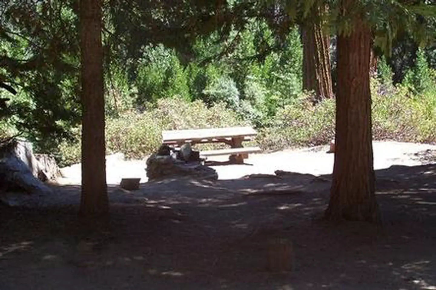 Redwood MeadowCampground · 12 sites
Overview Redwood Meadow Campground located within Sequoia National Forest, in the southern portion of Giant Sequoia National Monument.
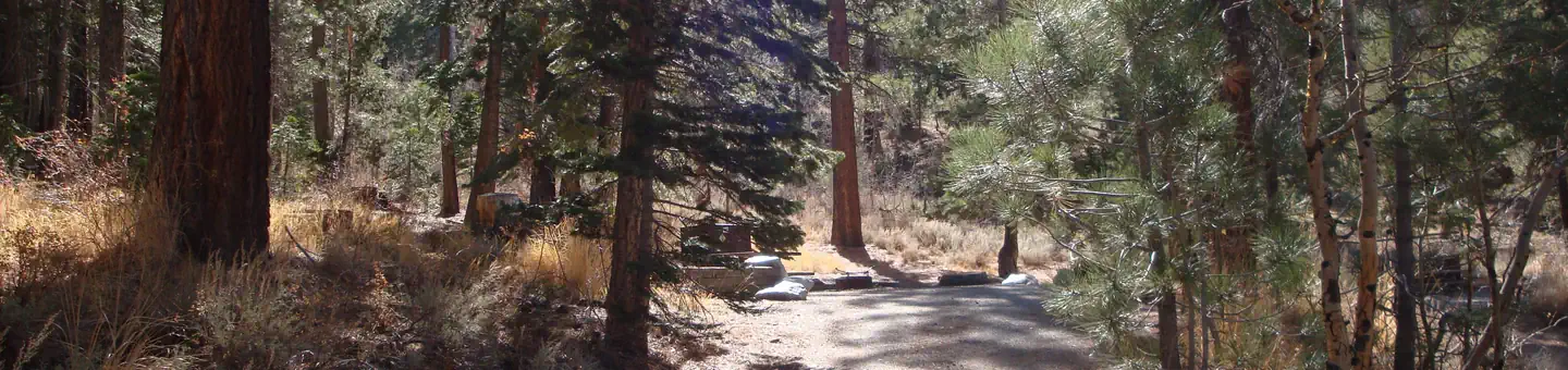 Reversed Creek CampgroundCampground · 16 sites
Overview Reversed Creek Campground is a small, shaded and private facility in the June Lake area of the eastern Sierra Nevada Mountains.
- Reyes Creek Group CampgroundFacility · not watchable
Reyes Creek Group Campground has one group site that can accomodate 40 people.The fee is $100 per night.
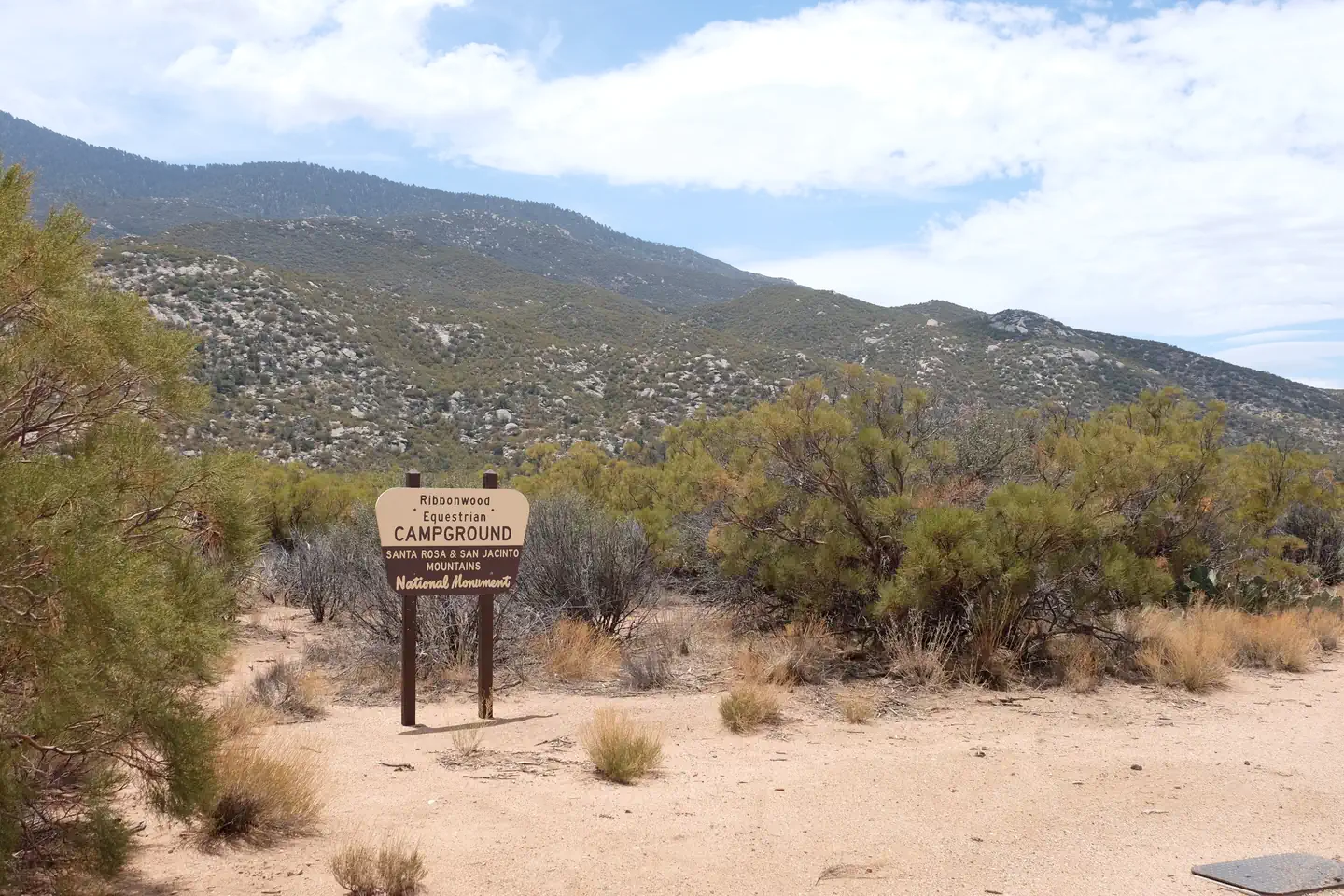 Ribbonwood Equestrian CGCampground · 8 sites
Overview Ribbonwood is an ideal mountain escape for equestrian campers. The campground overlooks Palm Desert and the Salton Sea in southern California and…
- Richard Nixon Presidential Library (California)Facility · not watchable
Learn about the story of President Nixon's life and career at the Richard Nixon Presidential Library and Museum, the twelfth Library to join the Federal…
- Rim Nordic Ski AreaFacility · not watchable
Rim Nordic Ski Area is located in the beautiful San Bernardino Mountains in Southern California.
- Rim of the World Scenic BywayFacility · not watchable
This 110-mile route traverses the rim of the San Bernardino Mountains from Cajon Pass to San Gorgonio Pass.
- Rim of the World Snow Play AreaFacility · not watchable
Sledding, building snowmen, and making snow angels are all a very popular past-time in the San Bernardino Mountains.
- Rim of the World VistaFacility · not watchable
From this vista point you can view the Tuolumne Wild & Scenic River from Highway 120. Accessible parking and restroom available.
- Rinconada TrailheadFacility · not watchable
The site is located off US 101 take Hwy 58 Santa Margarita turn right on Estrada 58 stay on Pozo road for 10 miles then turn right to Rinconada TH.
- River Bench CampgroundCampground · not watchable
Several walk in campsites along the Illinois River. River Bench Day Use and Campground are located on a lower river terrace, within a forested setting.
- Riverkern Beach Picnic SiteFacility · not watchable
Riverkern beach is a quite spot for a picnic or to relax by the Kern River just north from the town of Kernville. Whitewater rafting available in Kernville.
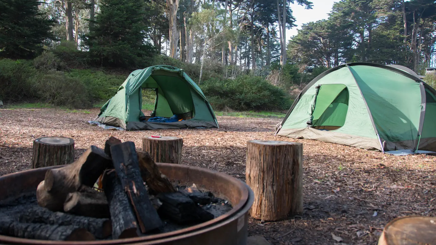 Rob Hill Group CampgroundCampground · 4 sites
Overview As San Francisco's only group campground, Rob Hill offers a national park camping experience just minutes from the city.
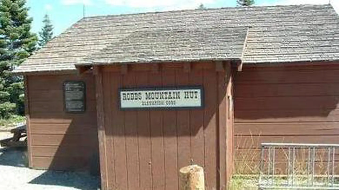 Robbs HutCampground · 1 sites
Overview Robbs Hut offers a peaceful, rustic getaway with phenomenal views of the Sierra Nevada.
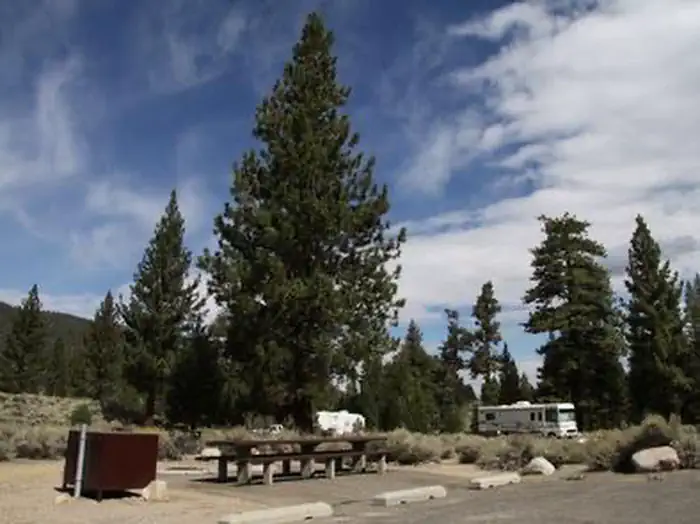 Robinson Creek NorthCampground · 29 sites
Overview Robinson Creek North Campground is located just 9 miles from Bridgeport, California, next to Robinson Creek at an elevation of 7,000 feet.
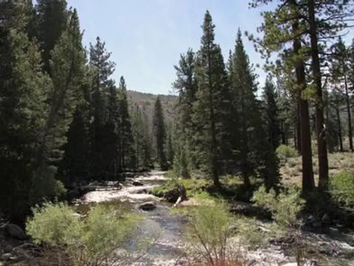 Robinson Creek SouthCampground · 25 sites
Overview Robinson Creek South Campground is located just 9 miles from Bridgeport, California, next to Robinson Creek at an elevation of 7,000 feet.
 Rock Creek (Sierra National Forest, CA)Campground · 24 sites
Overview Rock Creek Campground will be closed until further notice due to a massive hazard tree removal. Rock Creek Campground sits on a large, sandy flat…
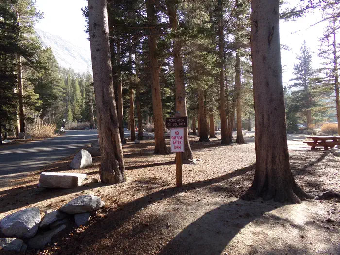 Rock Creek Lake (Inyo National Forest, CA)Campground · 26 sites
Overview Recreation Rock Creek and other waterways in the eastern Sierra Nevada Mountains are known for exceptional trout fishing.
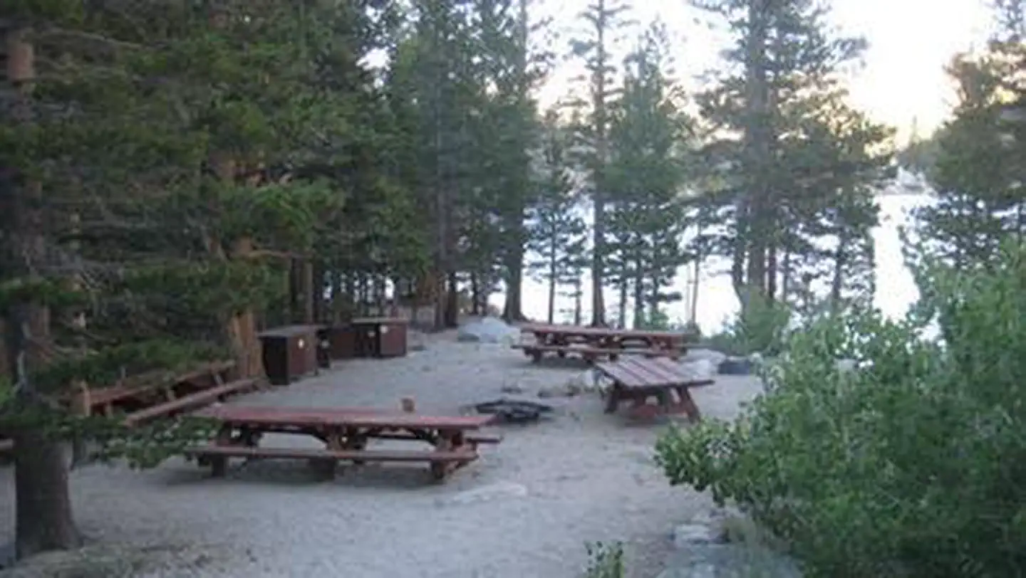 Rock Creek Lake Group Camp (Inyo National Forest, CA)Campground · 1 sites
Overview Rock Creek Lake Group Campground is adjacent to the main Rock Creek Lake Campground.
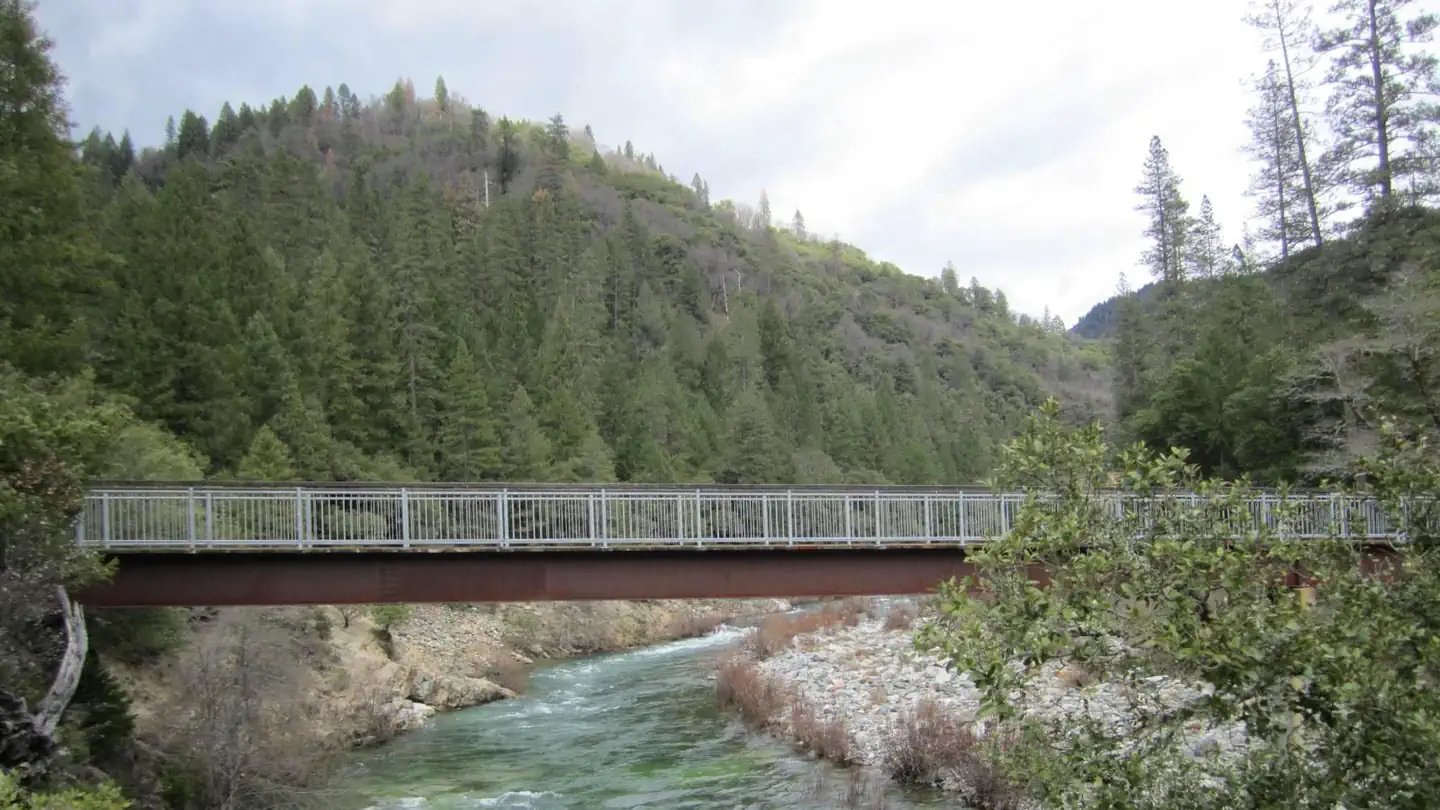 Rocky RestCampground · 10 sites
Overview Rocky Rest Campground is located off of Highway 49, in the North Yuba River area near Downieville.
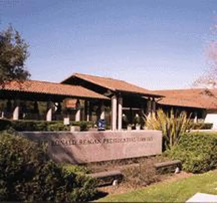 Ronald Reagan Presidential Library and MuseumLibrary · not watchable
Artifacts from President Reagan's childhood and professional career provide physical evidence of his extraordinary life.
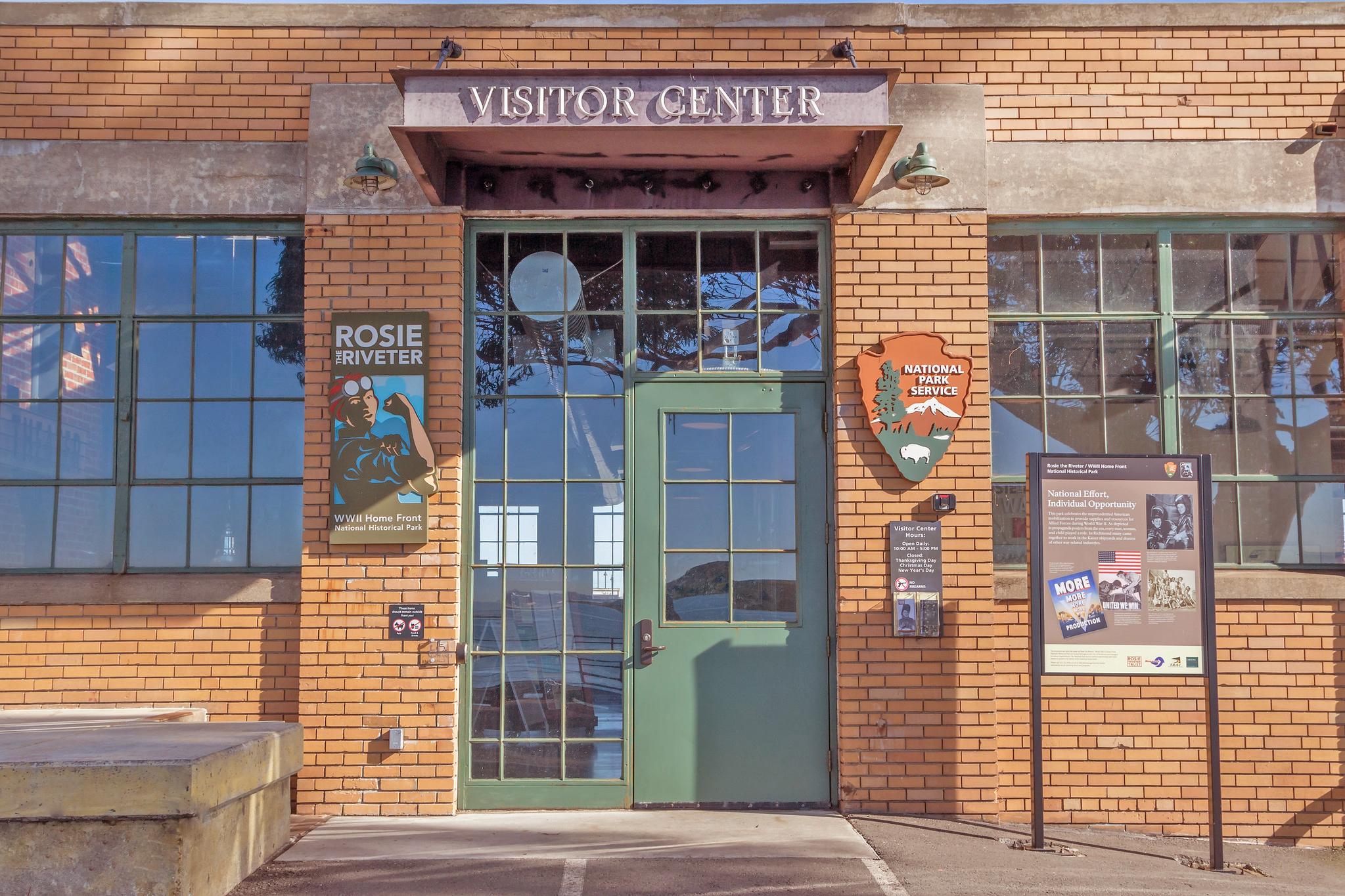 Rosie the Riveter Visitor Education CenterFacility · not watchable
The Rosie the Riveter Visitor Education Center is the perfect starting point for exploring Richmond's WWII Home Front.
- Rouse Ranch OHV Road 2N25Facility · not watchable
This road runs approx. 2.5 miles from Torrey Pine Road near State Highway 173 at the Lake Arrowhead dam to the junction with Crab Flat Road 3N34.
- Route 66 (Piute Crossing)Facility · not watchable
Protection for a Historic Symbol of Our Past (Brochure attached) Although U.S. Highway 66 was decommissioned, travel along Route 66/National Trails Highway is…
- Rowell Meadow TrailheadFacility · not watchable
Off of Big Meadows Road, the Rowell Meadow trailhead offers excellent access to the entire Jennie Lakes Wilderness, as well as several routes into and out of…
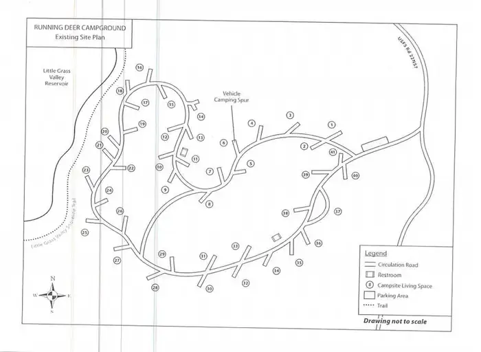 Running Deer CampgroundCampground · 41 sites
Overview Running Deer Campground is located on the eastern shore of the Little Grass Valley Reservoir, giving visitors ample opportunity to fish, swim, boat…
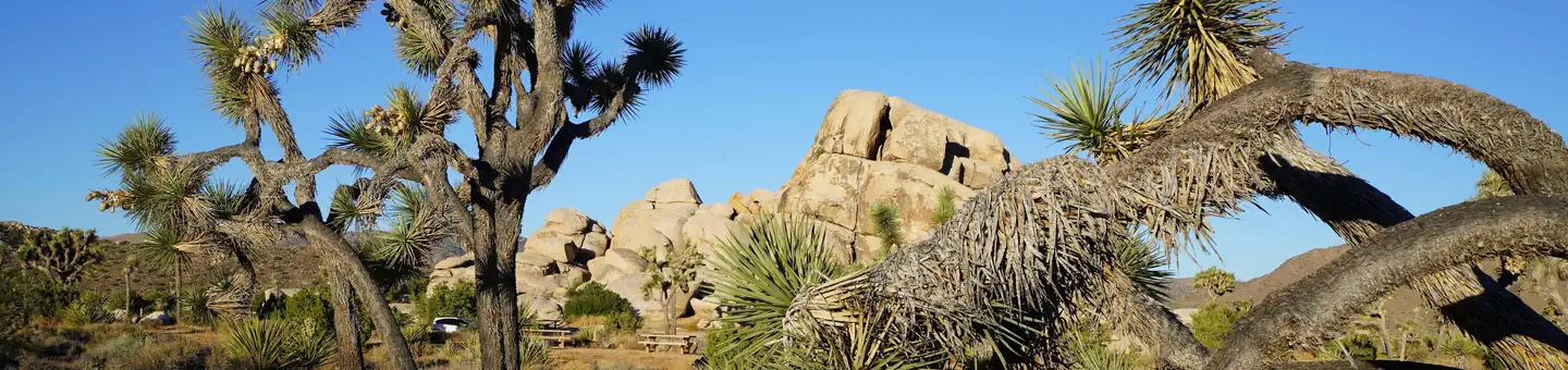 Ryan CampgroundCampground · 30 sites
Overview Download the NPS app prior to visiting the park – trail maps and more! Ryan Campground lies amid the huge, steep rock formations for which Joshua Tree…
- Saddleback Mountain (Santiago Peak)Facility · not watchable
Saddleback Mountain Elevation Gain 4000 ft Distance 15 Mile out and back Pets Allowed Yes, but caution is recommended Fees $5 for Adventure pass Hike Time 8…
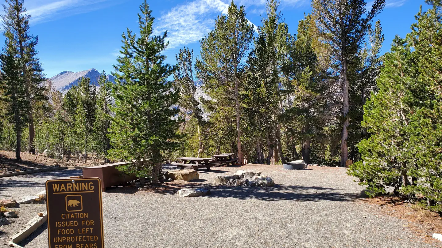 Saddlebag Lake Trailhead Group CampCampground · 1 sites
Overview Trailhead Group Campground is located in the eastern high Sierra Nevada Mountains of California at just over 10,000 feet in elevation.
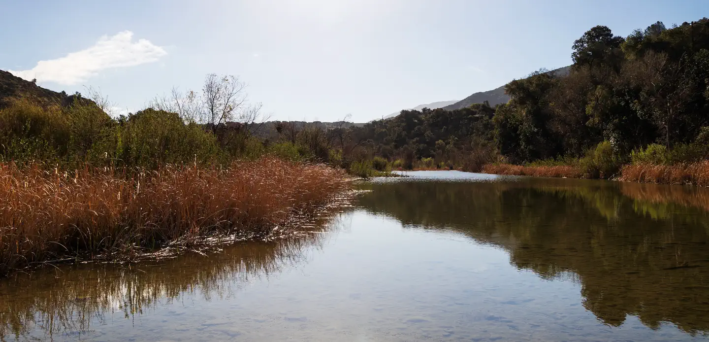 Sage HillCampground · 5 sites
Overview Nestled in the Santa Ynez Mountain Range, Sage Hill Campground is a great group camping spot with easy access to the Santa Ynez River.
- Sagehen Creek CampgroundCampground · not watchable
Sagehen Creek Campground is a remote, rustic campground along Sagehen Creek approximately seven miles west of Highway 89 North.
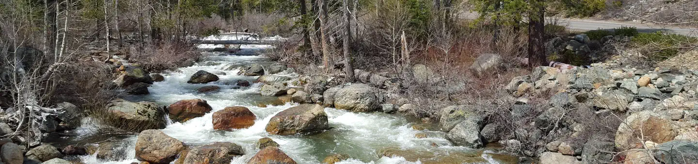 Salmon CreekCampground · 29 sites
Overview Salmon Creek Campground is located in the North Yuba River area. Visitors enjoy a wide variety of recreational activities in the area, including…
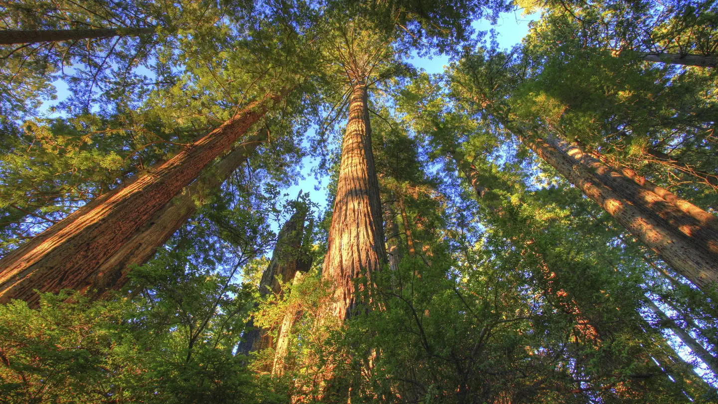 Salmon Pass Trail Docent Guided Hiking ToursTickets
The seasonal, reservation-only Salmon Pass Trail passes 3 miles round-trip through spectacular old-growth and second-growth redwood forest on the south side of…
 San Diego Natural History MuseumFacility · not watchable
The San Diego Natural History Museum traces its roots to an enthusiastic group of amateur naturalists, who formed the San Diego Society of Natural History in…
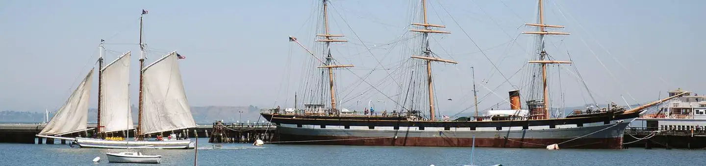 San Francisco Maritime National Historic Park ToursTickets
Overview: At San Francisco Maritime National Historical Park you will experience the sights, sounds and textures of the city's seafaring past.
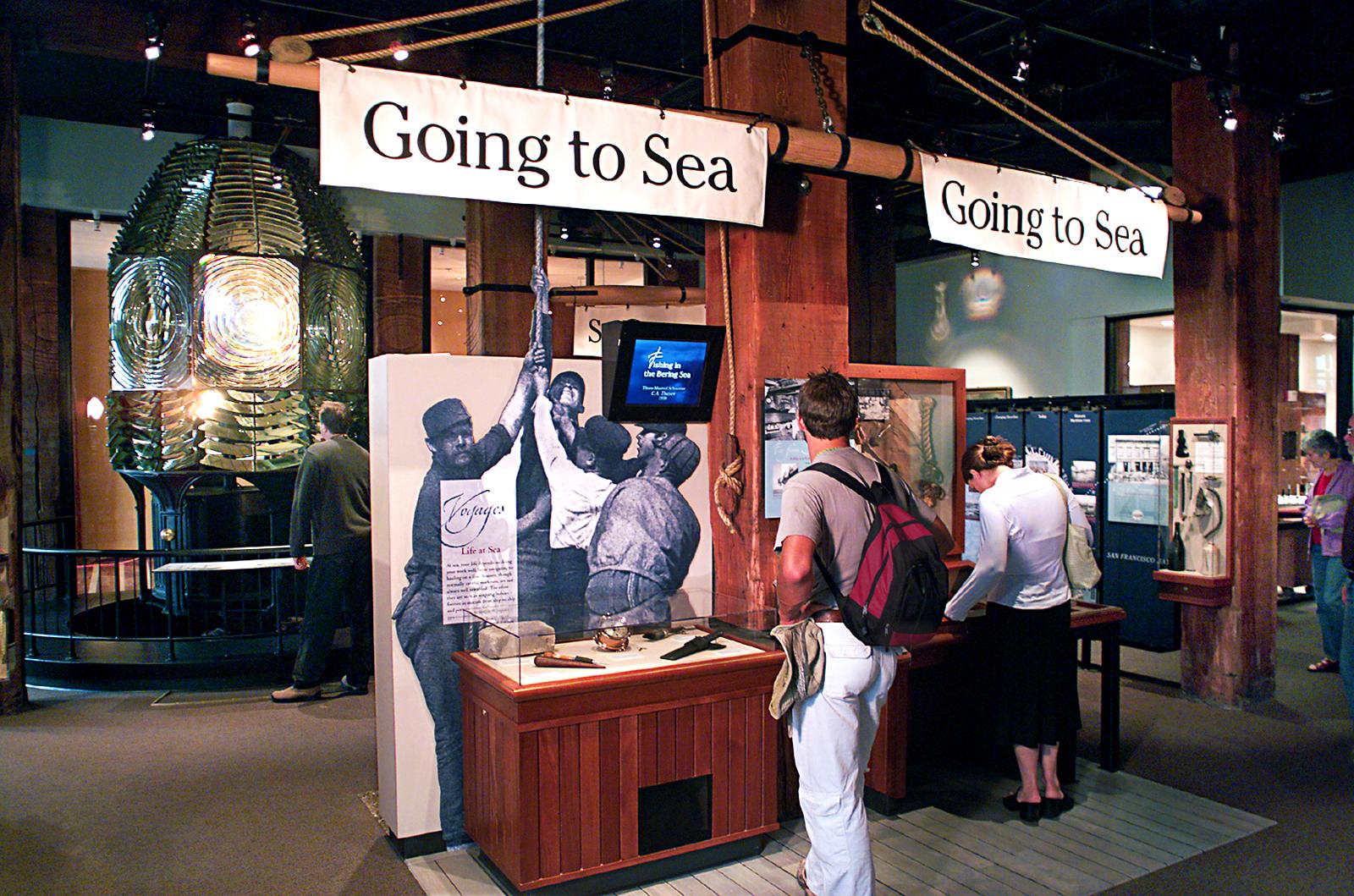 San Francisco Maritime Visitor CenterFacility · not watchable
In the San Francisco Maritime Visitor Center, National Park Service staff and volunteers are available to answer questions and provide information.
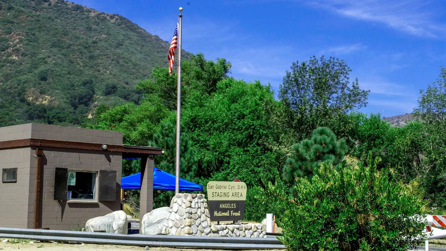 San Gabriel Canyon OHV Area Vehicle TicketsTimed entry
The San Gabriel Canyon Off-Highway Vehicle Area is located 11 miles north of Azusa on Highway 39.
- San Gabriel Mountains National MonumentFacility · not watchable
San Gabriel Mountains National Monument Office is located at 110 N. Wabash Ave., Glendora, CA 91741 (626) 335-1251, Ext.
 San GorgonioCampground · 54 sites
Overview The San Gorgonio Campground provides access to a variety of recreational opportunities, as well as a beautiful location in which to enjoy nature.
- San Jacinto River North Fork - Wild & Scenic RiverFacility · not watchable
This 10.2 mile wild and scenic river system finds its source on the heights of San Jacinto Peak in the Mount San Jacinto State Game Preserve and Wilderness…
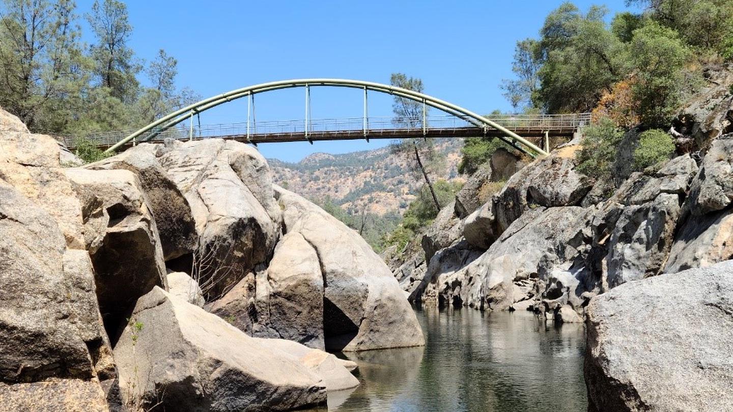 San Joaquin River Gorge CampingCampground · 8 sites
Overview The scenic San Joaquin River Gorge Special Recreation Management Area straddles the San Joaquin River just upstream from Millerton Lake State…
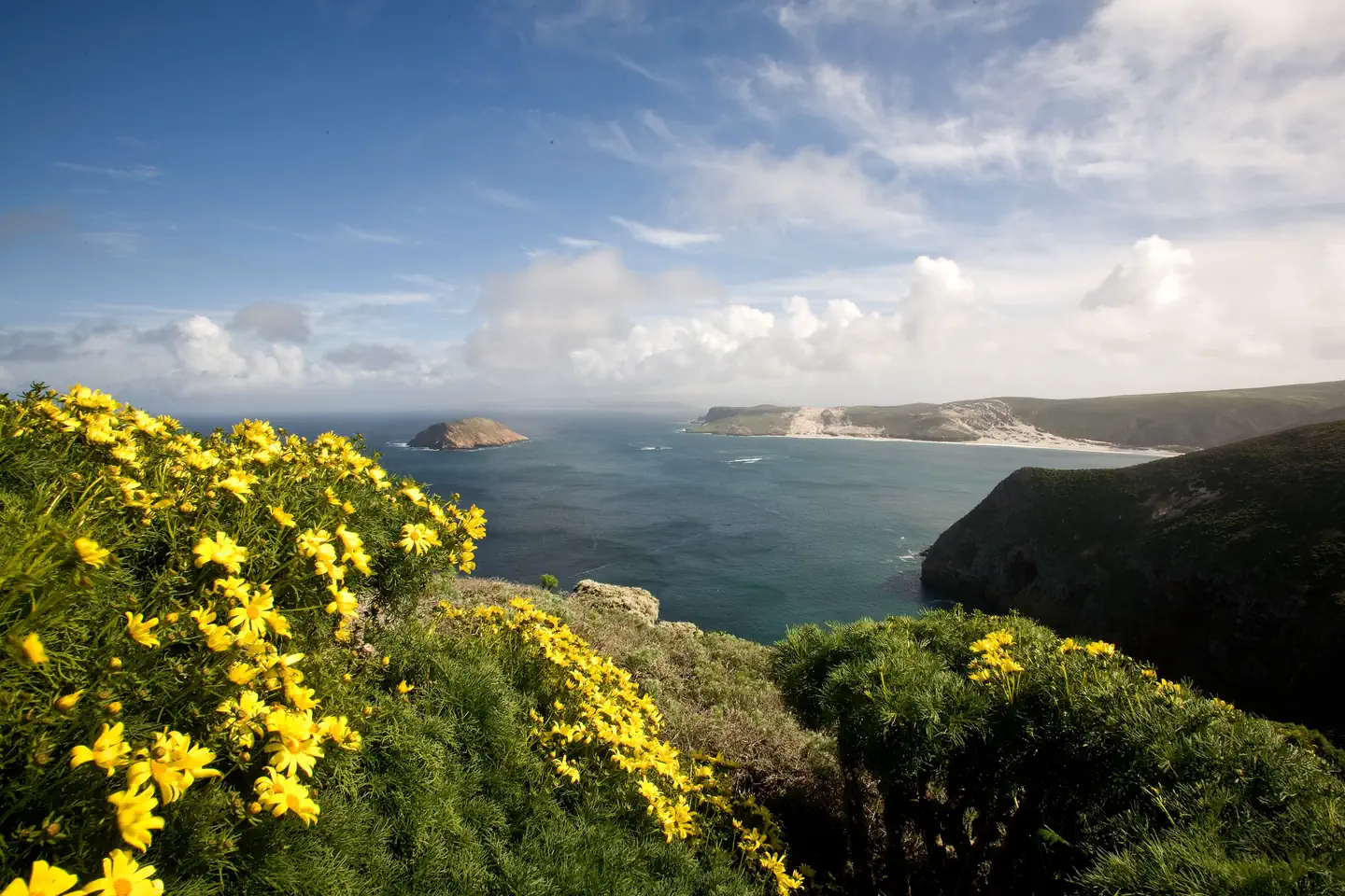 San Miguel IslandCampground · 18 sites
Overview Wind and weather constantly sweep across the North Pacific to batter the shores of this westernmost of all the islands.
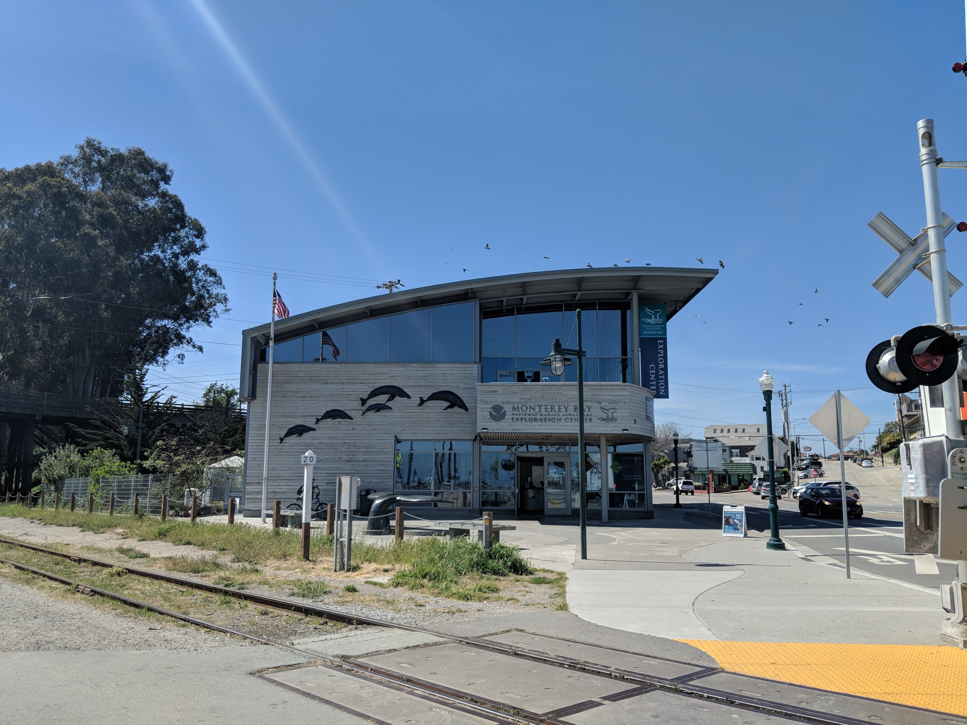 Sanctuary Exploration CenterFacility · not watchable
Located just steps away from the ocean and Santa Cruz Wharf, the Sanctuary Exploration Center features state-of-the art exhibits and interactive displays.
- Sand Flat CampgroundCampground · not watchable
Recreation Opportunity Guides (ROG) - These guides contains information, maps, and directions to assist you in enjoying your trip to the Eldorado National…
- Sand Flat CampgroundCampground · not watchable
Sand Flat Campground is located six miles from the junction of Clark Fork Road and Highway 108. It is about 25 miles east of the Summit Ranger Station.
 Sandy FlatCampground · 27 sites
Overview Sandy Flat Campground is set back from the Lower Kern River at an altitude of 2,300 feet near the town of Lake Isabella.
- Sandy Meadow TrailheadFacility · not watchable
This trail can be used to access Wheeler Lake; it is flatter and easier than the Wheeler Ridge/Lake Trail out of Woodchuck Basin but longer.
- Sanhedrin WildernessFacility · not watchable
The 10, 571 acre Sanhedrin Wilderness was established in 2006 by Public Law 109-362, the Northern California Coastal Wild Heritage Wilderness Act.
- Santa Ana RiverFacility · not watchable
Along the stream watch for dippers, yellow warblers, red-breasted sapsuckers, raccoons, two-striped garter snakes, quail, rainbow trout, brown trout, and signs…
- Santa Ana River - South ForkFacility · not watchable
California Department of Fish and Game plants rainbow trout twice per month spring through fall from confluence downstream along Seven Oaks Rd.
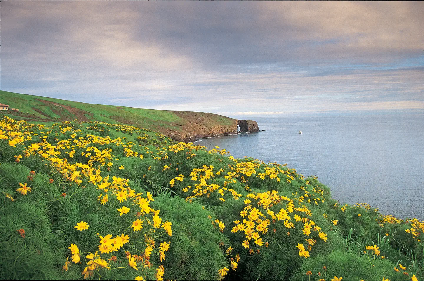 Santa Barbara IslandCampground · 20 sites
Overview Once visitors have scaled the rugged cliffs using the steep trail from the Landing Cove, they will be rewarded with a campground perched on the bluffs…
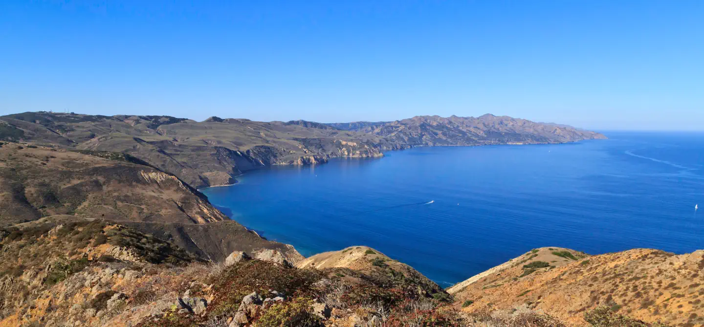 Santa Cruz Island Del Norte BackcountryCampground · 8 sites
Overview For a truly remote getaway full of backpacking and breathtaking scenery, take a backcountry trip to Santa Cruz Island's Del Norte Campground.
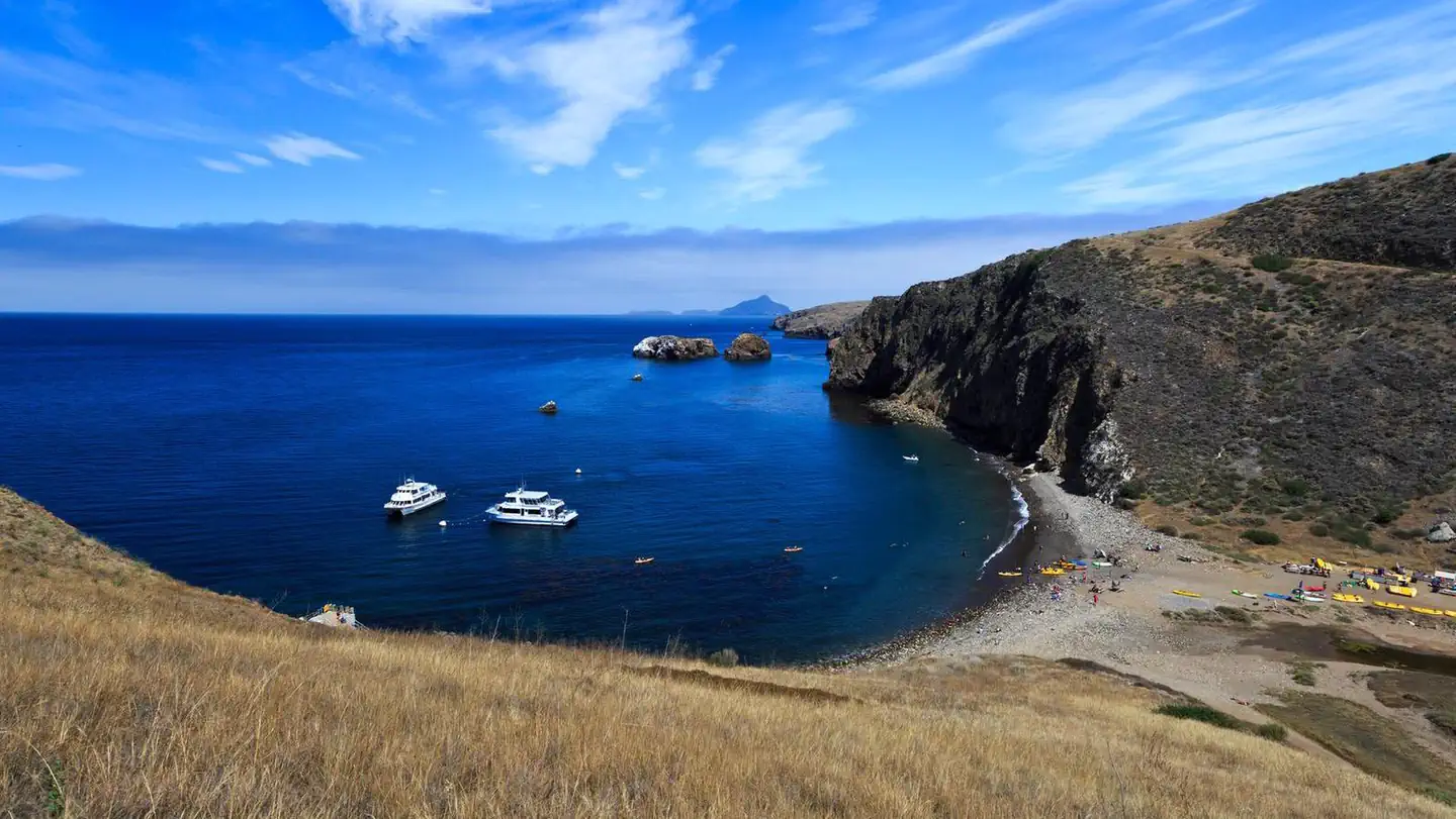 Santa Cruz Island ScorpionCampground · 31 sites
Overview Fantastic ocean views and relaxing beach time is practically guaranteed at Scorpion Canyon Campground, the most family-friendly campsite on Santa Cruz…
- Santa Lucia Ranger DistrictFacility · not watchable
The Santa Lucia Ranger District offers a diversity of outdoor opportunities. These lands are yours - to visit, to care for, but most of all, to enjoy.
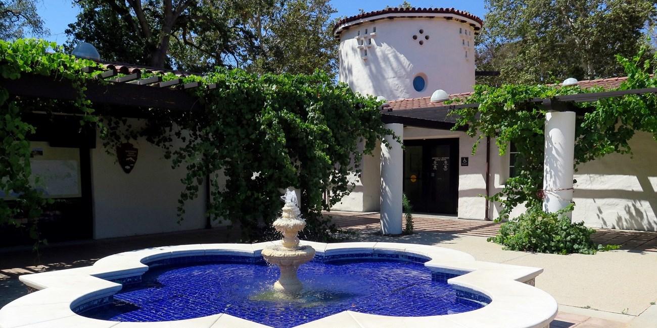 Santa Monica Mountains Anthony C. Beilenson Interagency Visitor CenterVisitor Center · not watchable
The Santa Monica Mountains Interagency Visitor Center is located in what once was the ranch stables, which was part of King C. Gillette Ranch.
 Santa Monica Mountains Anthony C. Beilenson Interagency Visitor CenterFacility · not watchable
The Anthony C. Beilenson Interagency Visitor Center features a bookstore managed by Western National Parks Association.
- Santa Rosa & San Jacinto Mtns. National MonumentFacility · not watchable
Rising abruptly from the desert floor, the Santa Rosa and San Jacinto Mountains National Monument reaches an elevation of 10,834 feet.
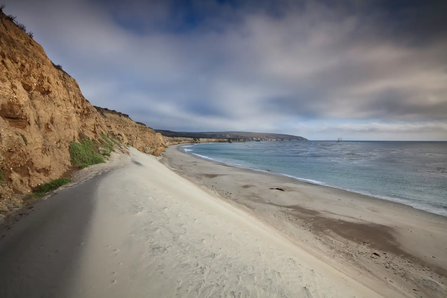 Santa Rosa IslandCampground · 15 sites
Overview Tucked away in a canyon to protect visitors from strong northwest winds, Water Canyon Campground offers exceptional island views, access to…
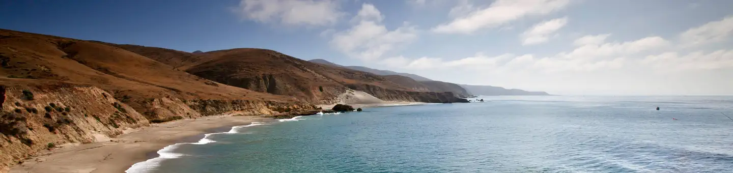 Santa Rosa Island Backcountry Beach CampingCampground · 33 sites
Overview Backcountry beach camping is available mid-August through December along Santa Rosa Island's extensive, beautiful, and undeveloped 55-mile coastline.
- Santa Rosa Yellow Post SitesFacility · not watchable
14 remote camping sites scattered across the high ridge of the Santa Rosa Mountain offer isolated scenic campsites ideal for tent and car camping or a…
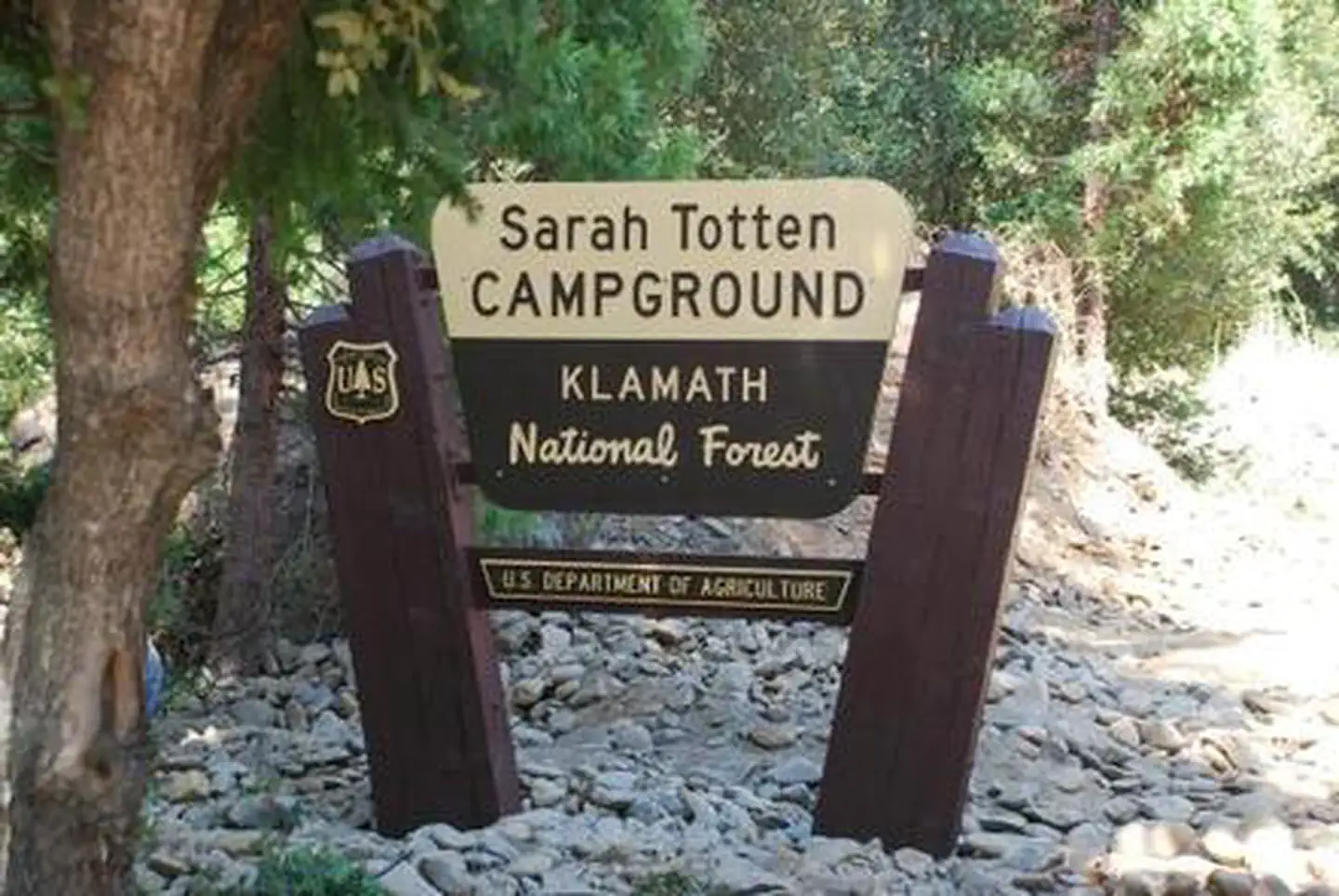 Sarah Totten CampgroundCampground · 11 sites
Overview Sarah Totten Campground is located within the Klamath Wild and Scenic River corridor, about 33 miles east of the town of Happy Camp.
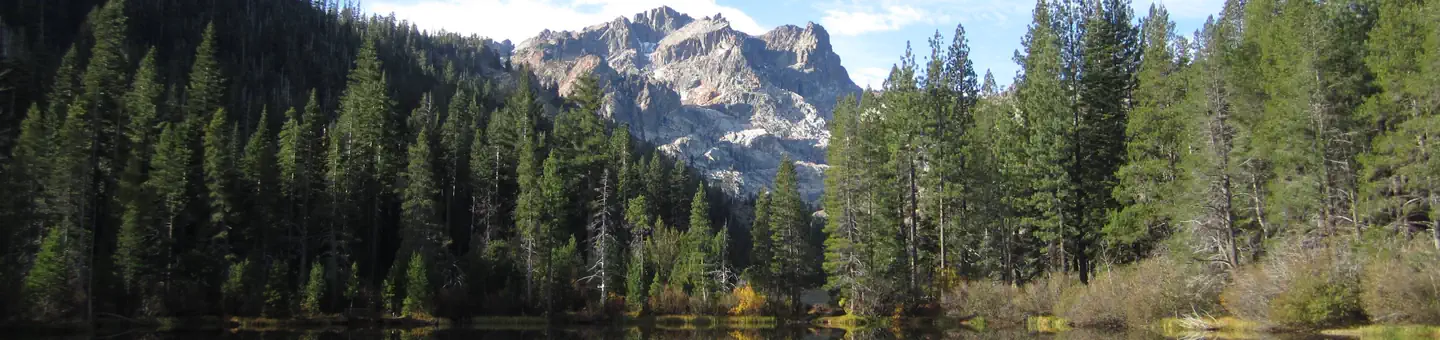 Sardine LakeCampground · 26 sites
Overview Sardine Lake Campground is located in the North Yuba River area, near the beautiful Sardine Lakes.
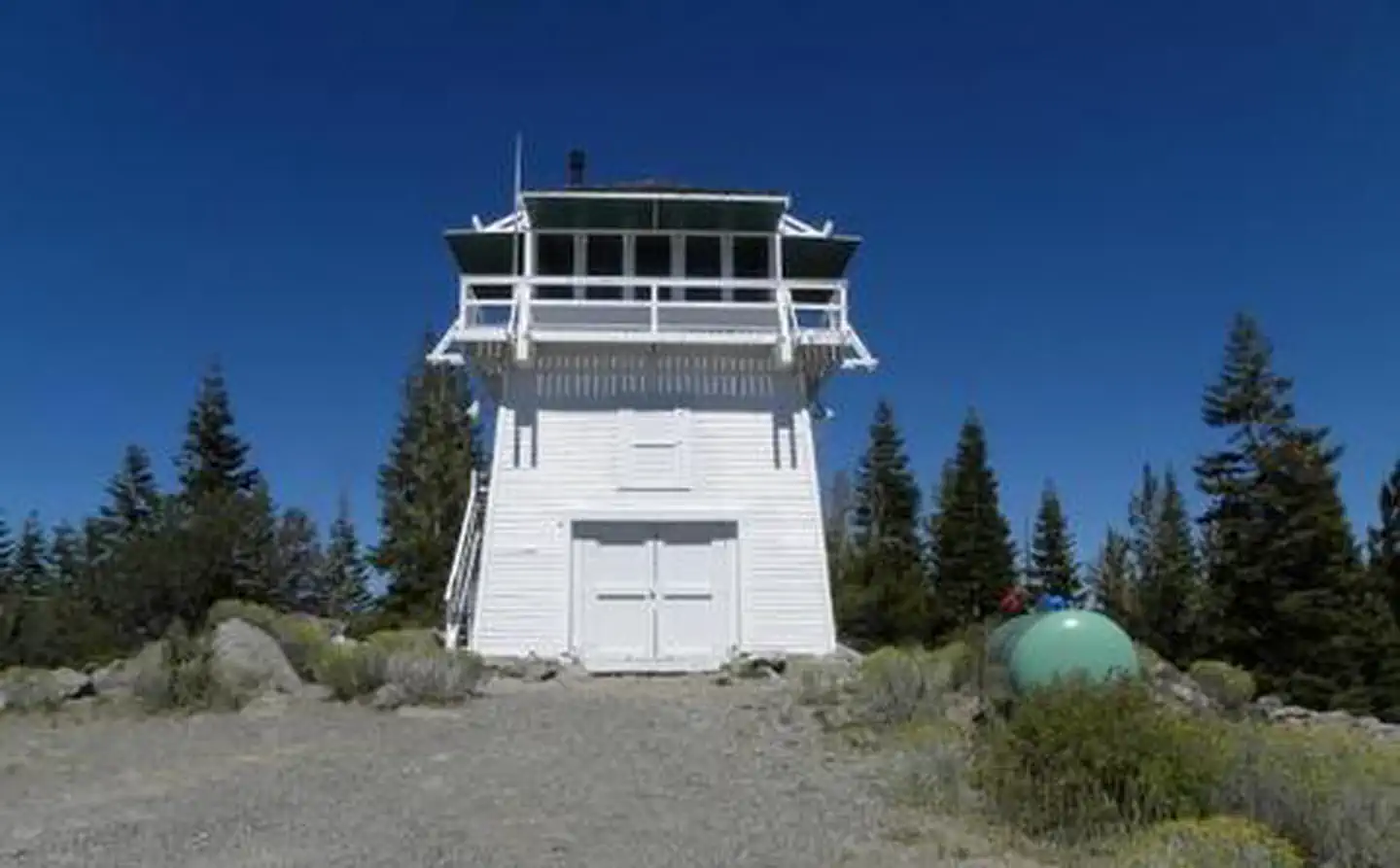 Sardine Peak LookoutCampground · 1 sites
Overview Sardine Peak is a forest fire lookout tower that was constructed in 1935 by the Civilian Conservation Corps.
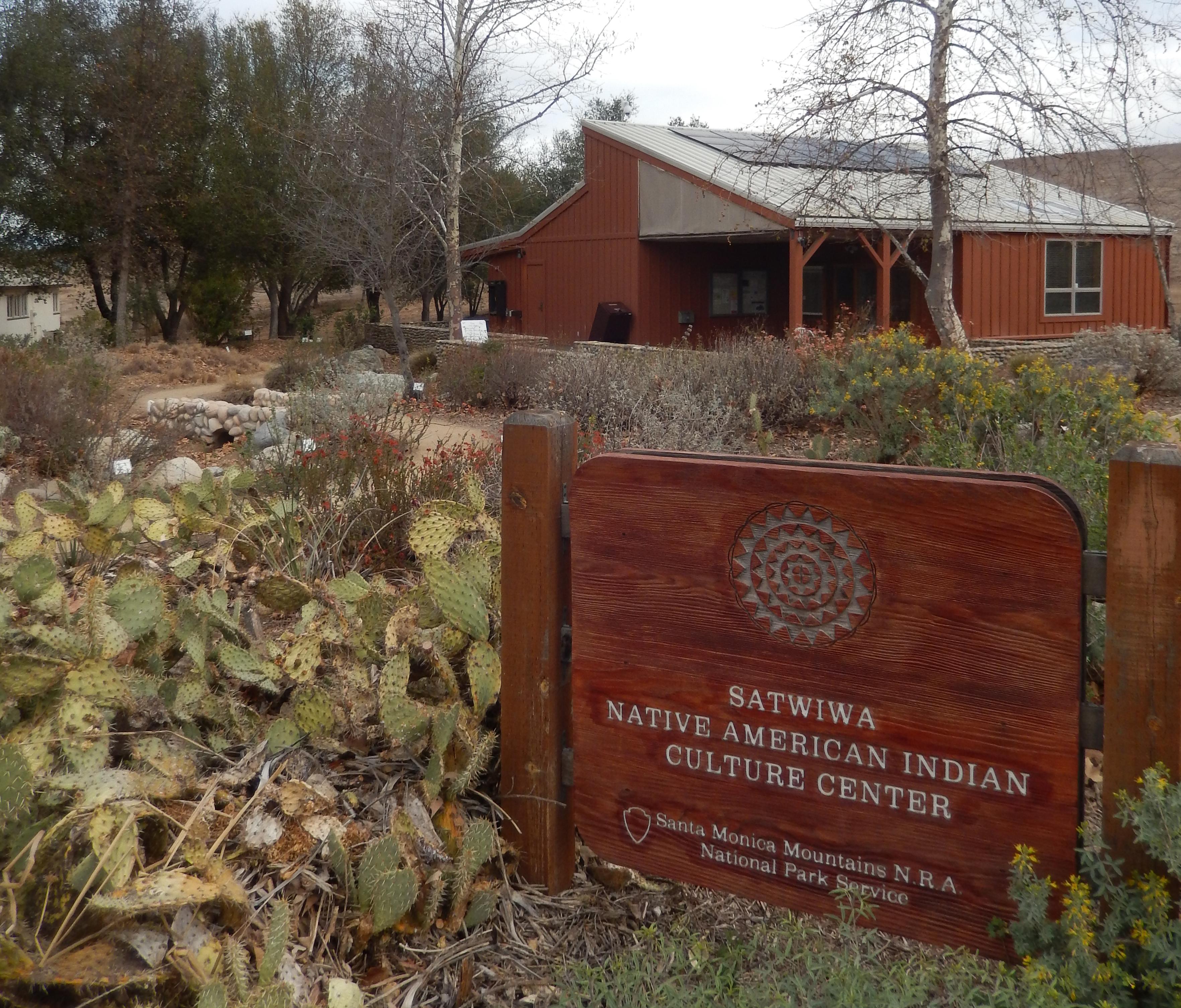 Satwiwa Native American Indian Culture CenterFacility · not watchable
Located at the southern end of the community of Newbury Park, this site reflects the heritage of both Native Americans and local ranching.
- Sawmill CampgroundCampground · not watchable
5200-foot elevation. 8 sites. No water. Vault toilets. Campsites are first come - first served. RV's to 16'.
- Sawtooth Canyon CampgroundCampground · not watchable
Overview Sawtooth Canyon Campground, also know by its nickname “New Jack City,” is located approximately 3 miles west of California Highway 247 and 20 mile…
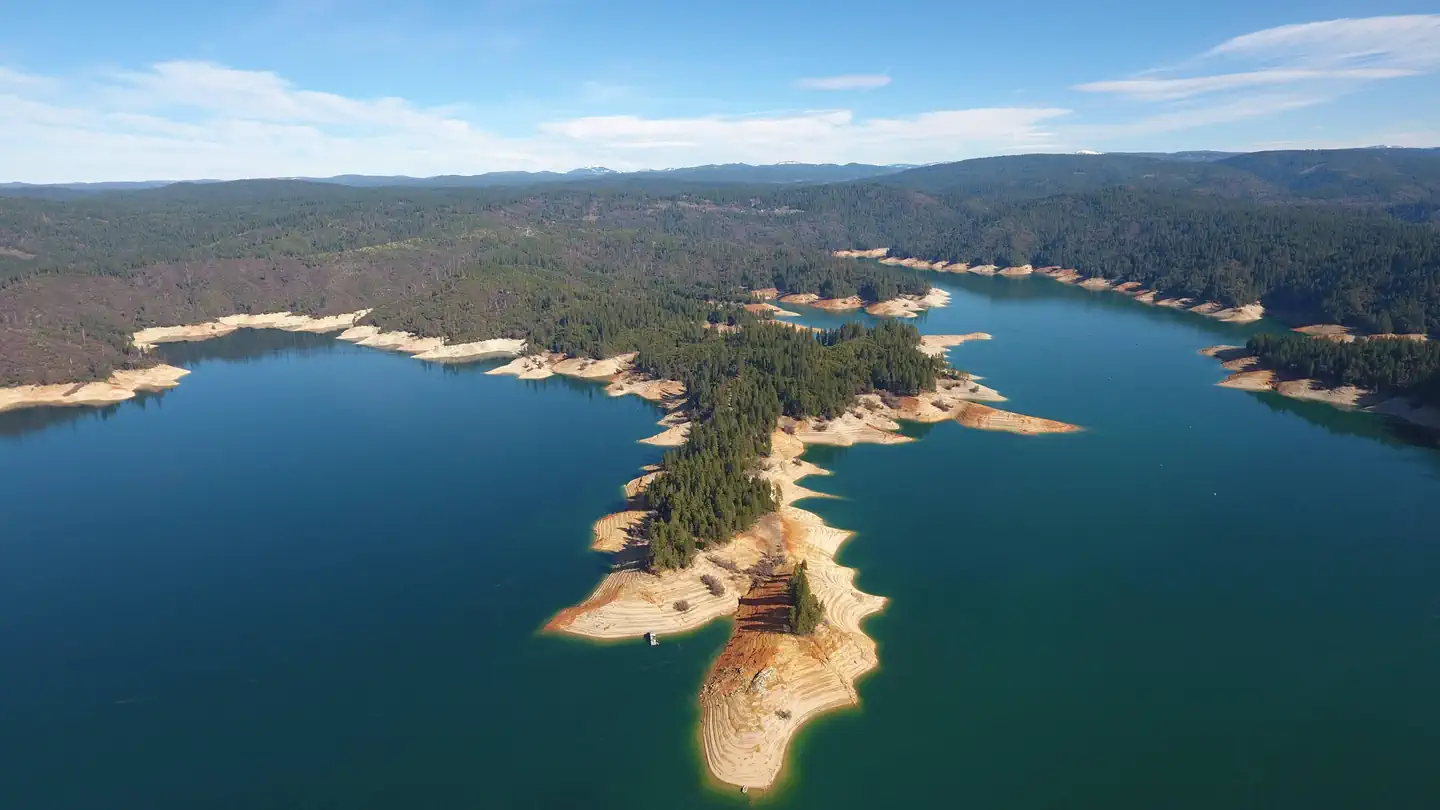 Schoolhouse Campground (CA)Campground · 55 sites
Overview Bullards Bar Reservoir is located on the North Yuba River at an elevation of 2000 feet.
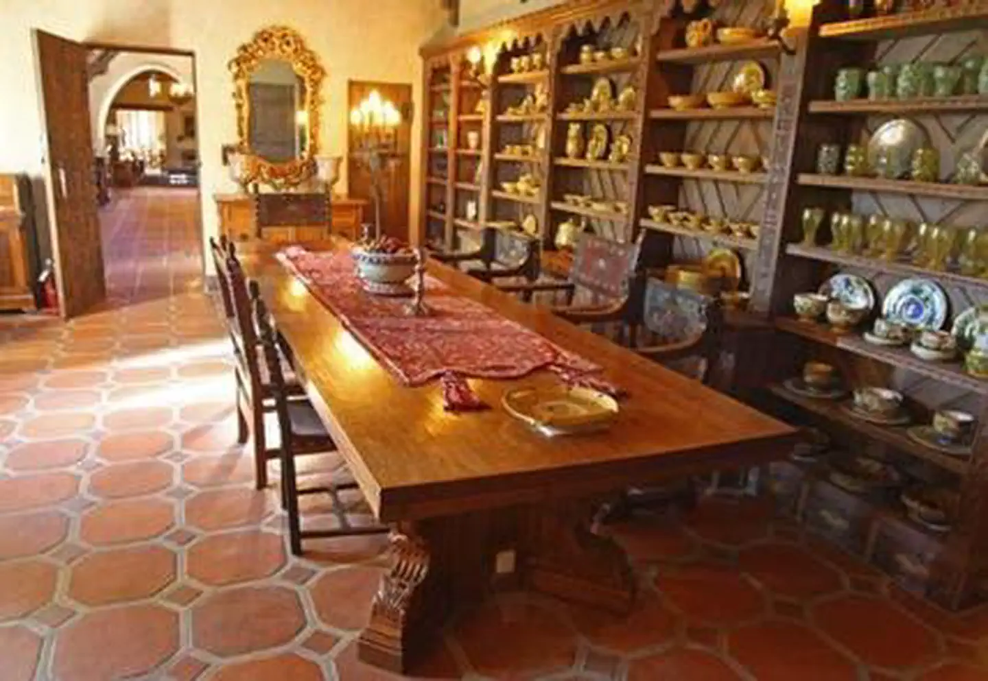 Scotty's Castle - Death Valley National ParkTickets
Overview: Hidden in the green oasis of Grapevine Canyon in far northern Death Valley, Scotty's Castle is a window into the life and times of the Roaring 20's…
- Seattle Bar Day UseFacility · not watchable
Seattle Bar is primarily a trailhead and horse staging area for the nearby Applegate Lake trail system and the Stein Butte / Elliott Creek Ridge OHV trail…
- Selby CampgroundCampground · not watchable
Camping is available on a first come-first serve basis. Thirteen campsites with picnic tables, fire pits, horse corrals and a wheelchair accessible vault…
- Senator Wash North ShoreFacility · not watchable
The Senator Wash North Shore recreational area is approximately 60 acres in size. There are many trees of various types and several secluded camping areas…
- Senator Wash South ShoreFacility · not watchable
The Senator Wash South Shore recreational area is approximately 50 acres in size, flat, open with large gravel beaches providing access to the reservoir. Two…
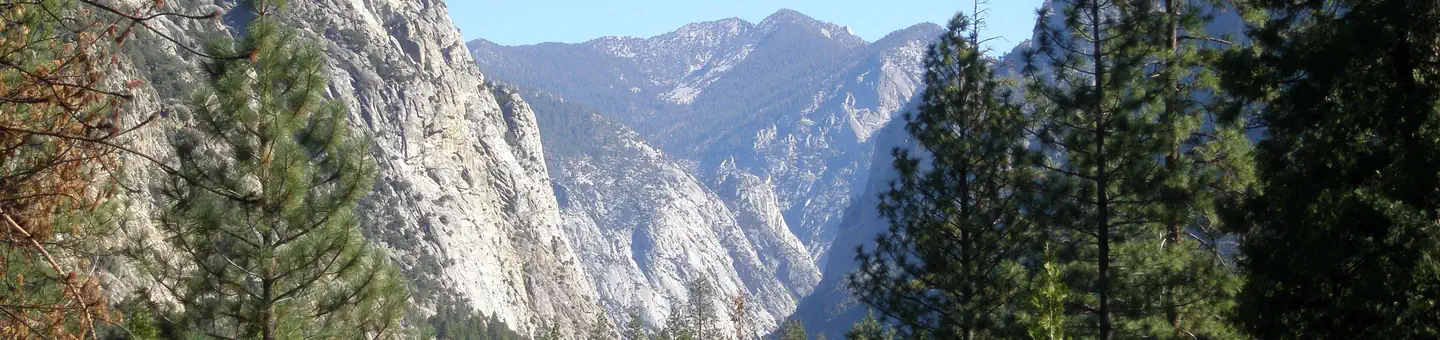 Sentinel CampgroundCampground · 78 sites
Overview Sentinel Campground in Cedar Grove is nestled in the stunning Kings Canyon, one of the deepest canyons in the United States.
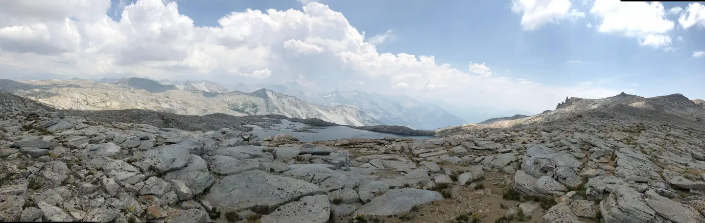
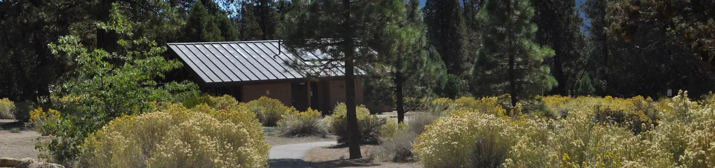 SerranoCampground · 109 sites
Overview Serrano Campground is a beautiful place for campers to come to enjoy beautiful Big Bear Lake.
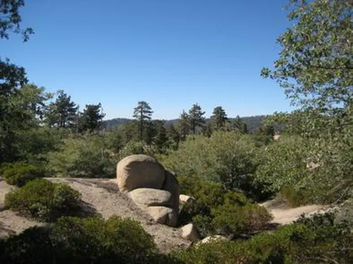 Shady Cove Group CampgroundCampground · 3 sites
Overview Shady Cove Group Campground is a beautiful place to camp within the Children's National Forest.
- Shasta Lake AreaFacility · not watchable
** Due to fluctuating water levels on Shasta Lake, visitors are encouraged to contact the Shasta Recreation Company (concessionaire to the Forest Service) @…
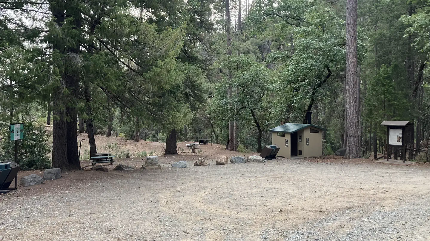 Sheep Camp Primitive CampgroundCampground · 4 sites
Overview This tent-only campground is located in the center of Whiskeytown National Recreation Area, 17 miles west of Redding, California, and three and a half…
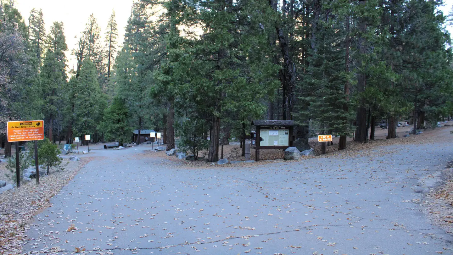 Sheep Creek CampgroundCampground · 107 sites
Overview Sheep Creek Campground in Cedar Grove is nestled in the stunning Kings Canyon, one of the deepest canyons in the United States.
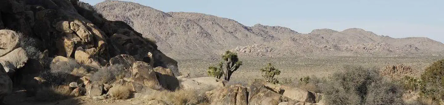 Sheep Pass GroupCampground · 6 sites
Overview Download the NPS app prior to visiting the park – trail maps and more! Sheep Pass Group Campground is centrally located within Joshua Tree National…
- Shelter Cove - Mal Coombs ParkFacility · not watchable
Mal Coombs Park is located on the west side of the small resort town of Shelter Cove. There is a small rocky beach hidden away below the park.
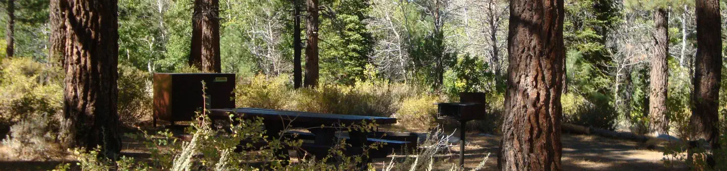 Sherwin CreekCampground · 85 sites
Overview Sherwin Creek Campground is located in the eastern Sierra Nevada Mountains within 2 miles of the full-service community of Mammoth Lakes, California.
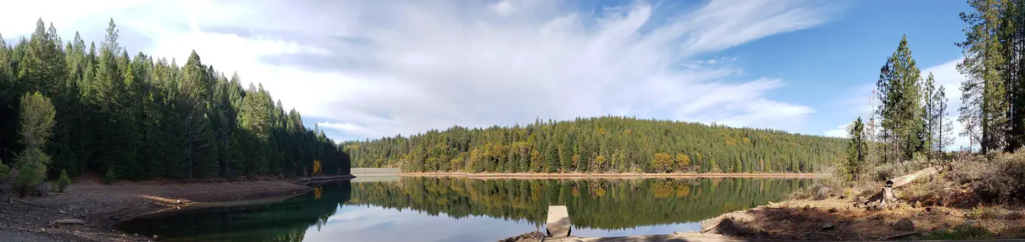 Shirttail CreekCampground · 29 sites
Overview Shirttail Campground is located on the north shore of Sugar Pine Reservoir, in the Tahoe National Forest, 15 miles from Foresthill.
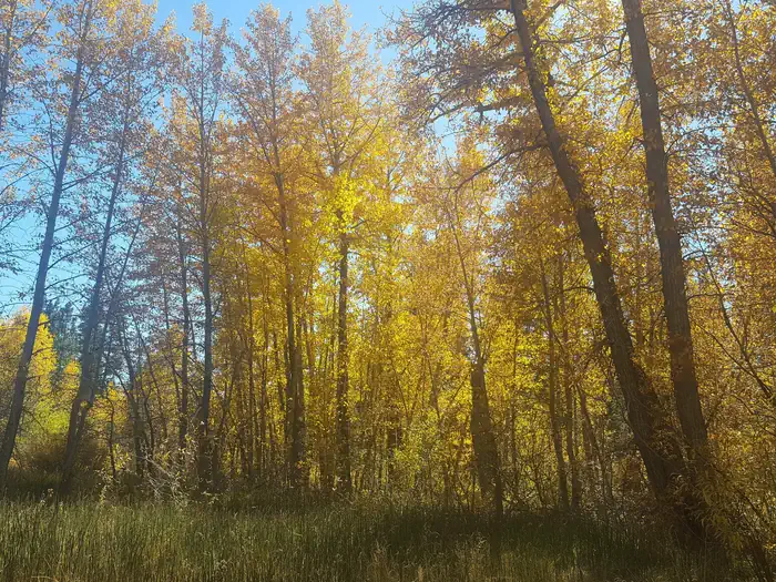 SierraCampground · 16 sites
Overview Sierra Campground is located on the north bank of the North Yuba River between Sierra City and Yuba Pass.
- Sierra At TahoeFacility · not watchable
Sierra At Tahoe is one of two ski operations on the Eldorado National Forest operating under a special use permit.
- Sierra Valley Road CyclingFacility · not watchable
For a great road riding location, the Sierra Valley offers unsurpassed beauty, never ending stretches of beautiful meadows, wetlands with many bird species,…
- Sierra Valley Shooting RangeFacility · not watchable
The shooting range facility is available to the public through a partnership with the U.S. Forest Service and the Sierra Valley Sportman's Club (SVSC).
- Silver Beach Picnic AreaFacility · not watchable
An unpaved boat launch and parking area, Silver Beach Picnic Area offers opportunities for water play, picnicking, fishing, and hiking.
- Silver Bowl CampgroundCampground · not watchable
Located near the shores of Silver Lake, Silver Bowl is a developed campground with 18 designated sites. There is a maximum of 8 people per site.
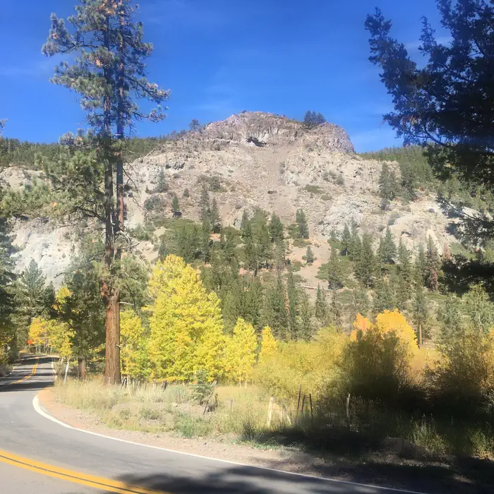 Silver CreekCampground · 22 sites
Overview Silver Creek Campground is located near the town of Markleeville on scenic Highway 4.
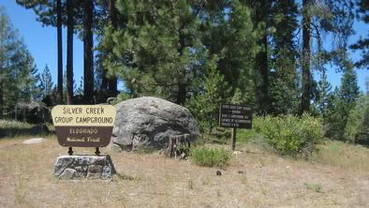 Silver Creek Group CampgroundCampground · 1 sites
Overview Silver Creek, located in the Crystal Basin area, offers a fun atmosphere with beautiful scenery for group gatherings.
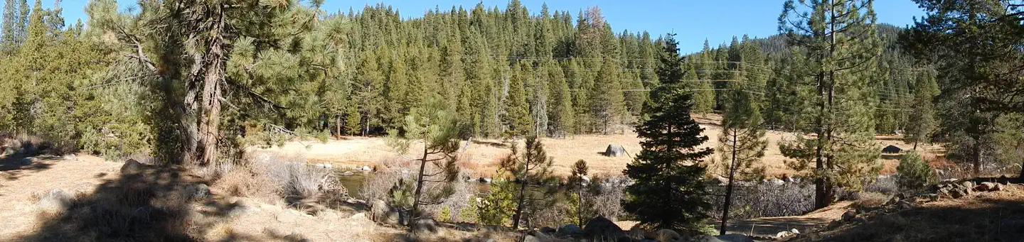 Silver Creek-TruckeeCampground · 35 sites
Overview Silver Creek Campground is located on the Truckee River, off of Highway 89, between Truckee and Tahoe City.
- Silver Fork CampgroundCampground · not watchable
Recreation Opportunity Guides (ROG) - These guides contains information, maps, and directions to assist you in enjoying your trip to the Eldorado National…
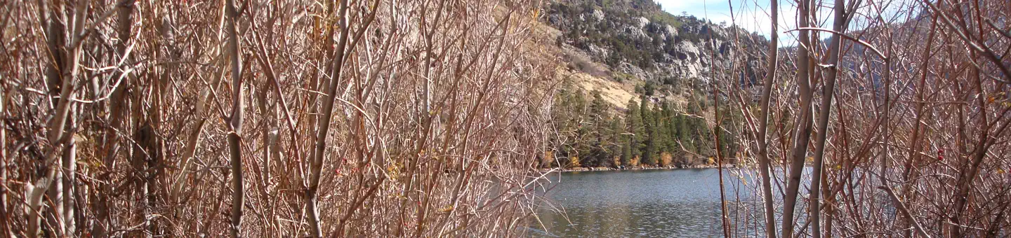 Silver Lake Campground June Lake (CA)Campground · 63 sites
Overview Silver Lake Campground is nestled between Silver Lake and the dramatic scenery of the Ansel Adams Wilderness in the eastern Sierra Nevada Mountains of…
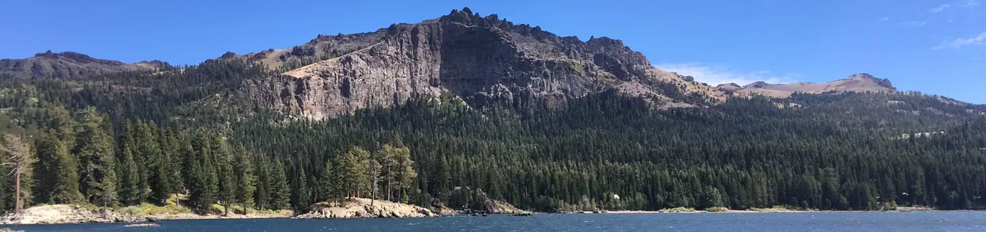 Silver Lake East- EldoradoCampground · 48 sites
Overview Silver Lake East is located 50 miles east of Jackson, California, just a short distance from the shores of Silver lake, where activities like boating,…
- Silver Peak WildernessFacility · not watchable
This wilderness was established in 1992 by the Los Padres Condor Range and River Protection Act.
- Silver Valley TrailheadFacility · not watchable
This is the trailhead for Duck Lake and the Emigrant Trail. Intersection with the Emigrant Trail is about .2 miles from the trailhead.
- Silverado Canyon/Maple SpringsFacility · not watchable
Maple Springs Trailhead Distance 10 miles Pets Allowed Yes Fees Adventure Pass Required Hike/Ride Time 2 - 8 hours Difficulty Easy Best Seasons Year Round…
- Siskiyou WildernessFacility · not watchable
The forested mountains, valleys and meadows of the Siskiyou Wilderness in Del Norte, Humboldt and Siskiyou counties of northwestern California offer vistas of…
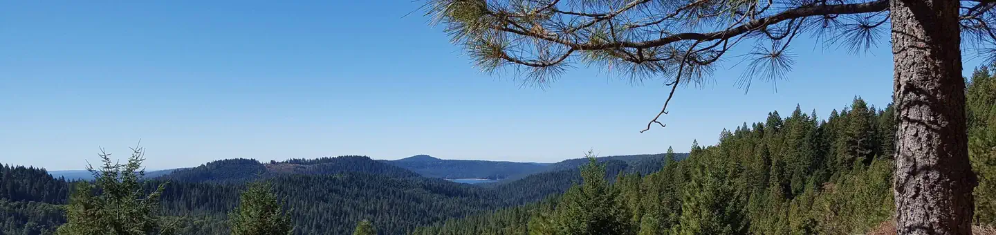 SkillmanCampground · 17 sites
Overview Skillman Campground has individual sites with enough room for parking trucks with trailers.
 SkylineCampground · 1 sites
Overview The Skyline Group Campground is a great place to enjoy an extended family or large group camping experience.
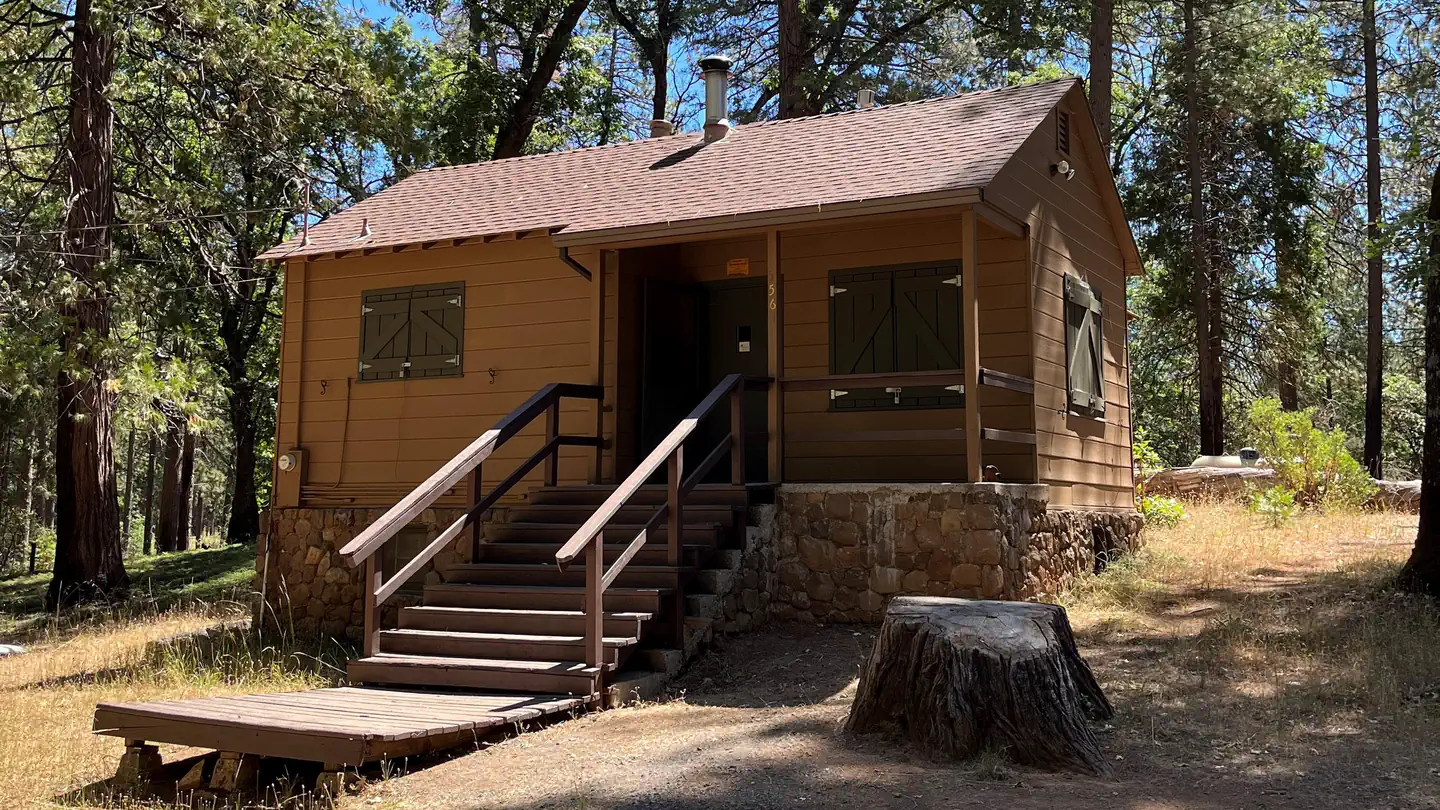 Sly Guard CabinCampground · 1 sites
Overview The Sly Guard Cabin is less remote than other cabins on the Eldorado National forest and is a great choice for families with children.
- Smarts Ranch OHV Road 3N03Facility · not watchable
This road travels 7.4 miles from State Highway 18 in Cactus Flats into Lone Valley ending at the junction with Arrastre Creek Road 2N02.
- Smith River National Recreation AreaFacility · not watchable
Recreational activities abound in the Smith River NRA. The beautiful Smith River offers fishing for steelhead, trout, and salmon.
- Smithneck CreekFacility · not watchable
This creek has a self-sustaining population of brown trout. There is state-owned land near the town of Loyalton, which supports a nice meadow fishery.
- Snowdrift Winter PlaygroundFacility · not watchable
Located on Highway 18, 5 miles east of Running Springs and offers tube-tobogganing under special-use permit from the Forest Service.
- Soldier Meadows CampgroundCampground · not watchable
Soldier Meadows is a developed campground with 15 designated sites. A maximum of 8 people is allowed per site.
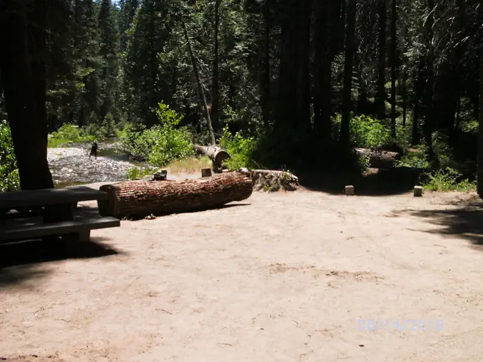 Soquel CampgroundCampground · 21 sites
Overview Soquel Campground consists of two loops on the banks of Willow Creek. The primitive sites are well-shaded by pine and fir trees and can accommodate…
- South Fork CampgroundCampground · not watchable
South Fork Campground is on a low elevation site near the confluence of the South Fork Tuolumne River and the Tuolumne Wild & Scenic River approximately one…
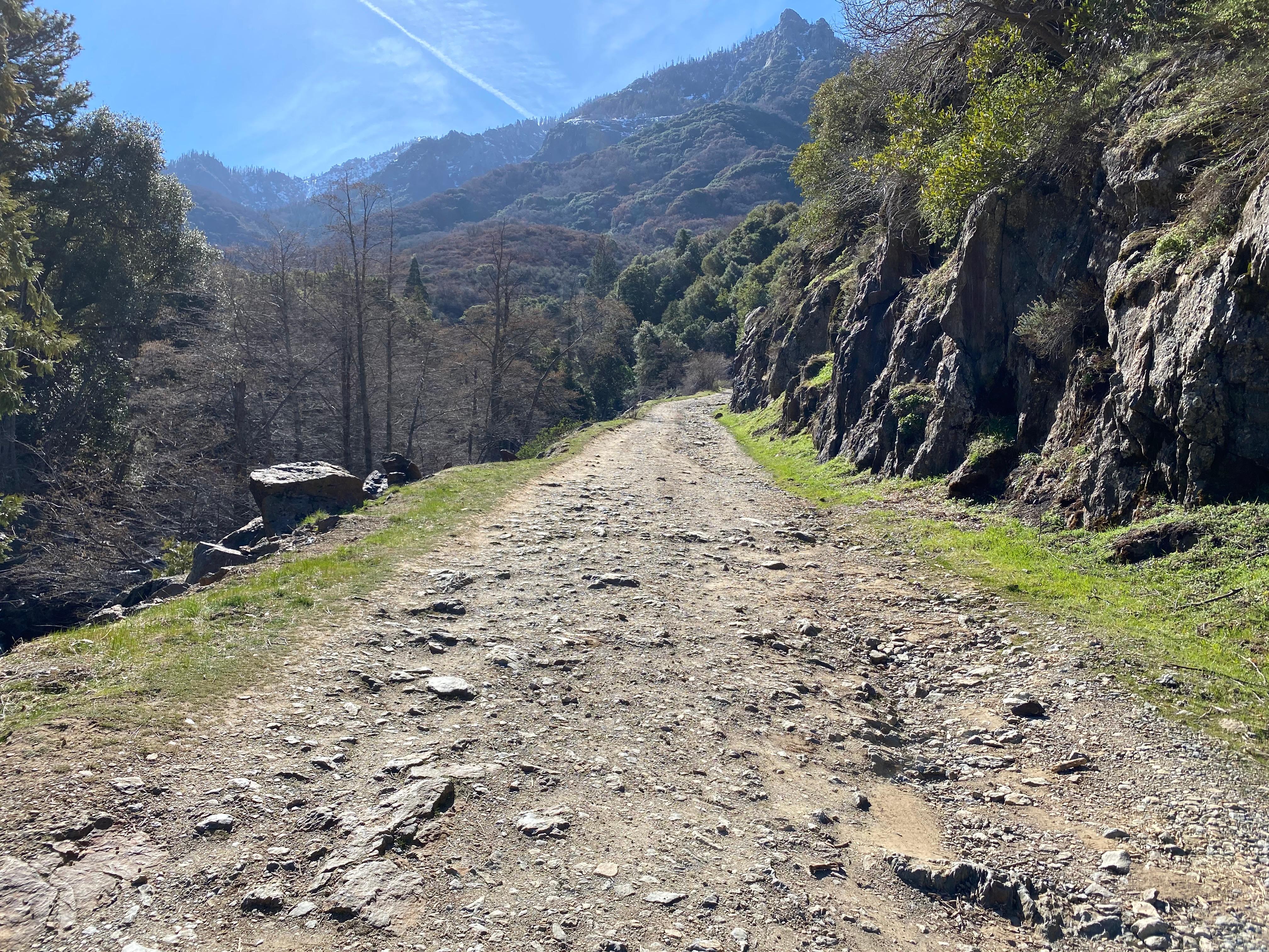 South Fork CampgroundFacility · not watchable
SOUTH FORK CAMPGROUND IS CLOSED UNTIL FURTHER NOTICE. South Fork Campground and its access road were heavily and extensively damaged by floods and landslides…
 South Fork Campground - Mendocino National ForestCampground · 1 sites
Overview This location is available on a first-come, first-served basis only. Visitors are required to physically arrive at the campground to purchase and…
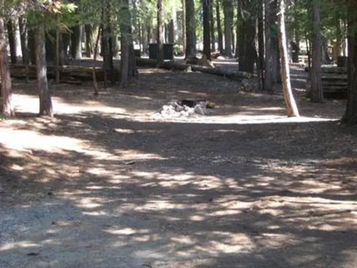 South Fork Group - Eldorado NF (CA)Campground · 1 sites
Overview South Fork is the largest group campground in the Crystal Basin Recreation Area, nestled in the vast expanse of the Eldorado National Forest.
- South Fork Rec CampgroundCampground · not watchable
Located off Highway 178 on the southern side of Lake Isabella, this facility offers flush toilets, trash service, drinking water, a visitor information…
- South Ridge RoadFacility · not watchable
South Ridge Road 5S11, is a 1.5 mile steep road that leads to South Ridge Trailhead, and 3 Yellow Post Sites. Each site is limited to a maximum of 8 persons…
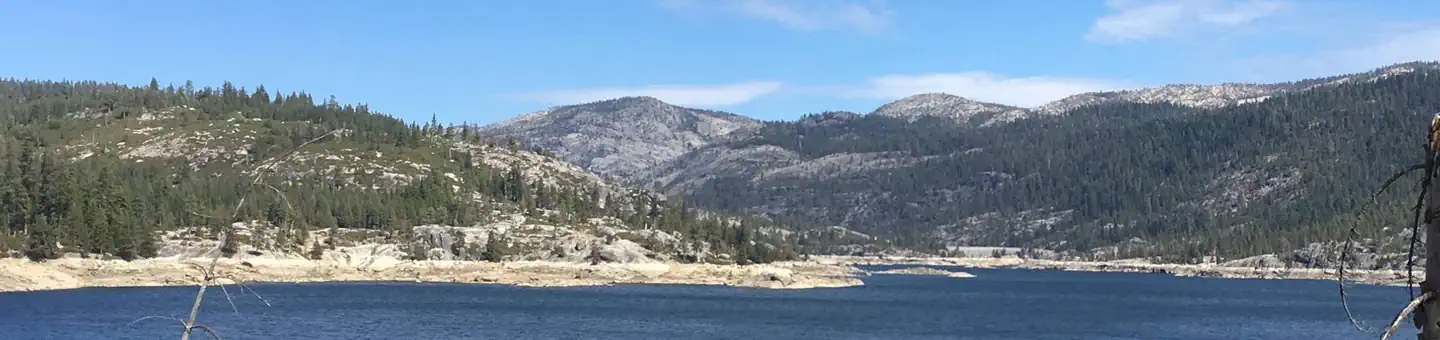 South Shore CampgroundCampground · 21 sites
Overview South Shore Campground is located next to Lower Bear River Reservoir in the Eldorado National Forest the central Sierra Nevada Mountains.
- Southfork CampgroundCampground · not watchable
At a Glance: 4,500-foot elevation 21 sites RV's up to 16' No water Vault toilets Campsites are first-come, first-served What to Expect South Fork Campground on…
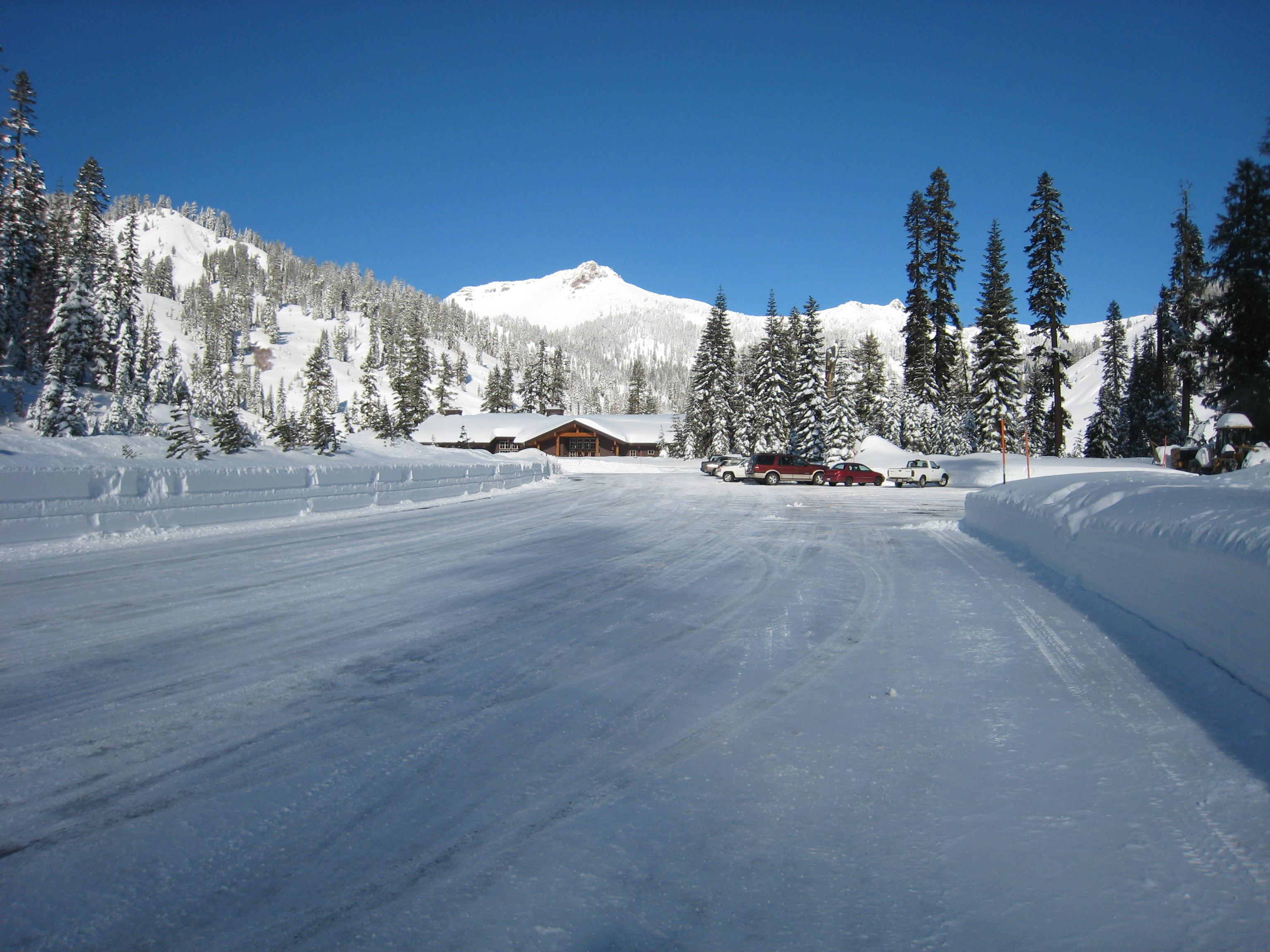 Southwest Campground - Winter/SpringCampground · not watchable
The Southwest Walk-in Campground is located on the east side of the Kohm Yah-mah-nee Visitor Center parking area.
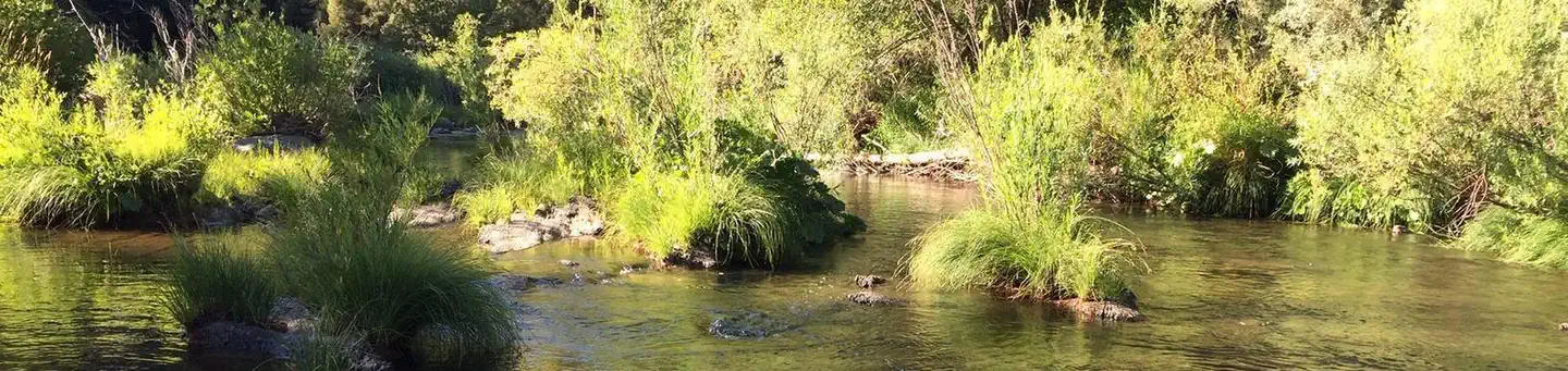 Spanish Creek CampgroundCampground · 27 sites
Overview Spanish Creek Campground is located on Highway 70 just east of the Highway 89 intersection; just east of where Banish Creek and Indian Creek merge…
- Spicer ReservoirFacility · not watchable
Spicer Reservoir has a surface area of 2,000 acres when full. Maximum speed on the lower portion of the lake is 10 mph; the upper portion, surrounded by the…
 Spring CoveCampground · 62 sites
Overview Spring Cove Campground is located across the street from Bass Lake in a grove of oak, pine and cedar, and is well suited for tents or small RVs.
 Spring CreekCampground · 34 sites
Overview Spring Creek Campground (5,800 feet) is just minutes away from the clear waters of the Frenchman Lake.
- Stampede Reservoir - Water RecreationFacility · not watchable
Stampede reservoir is a popular spot for water recreation of all kinds. Fishing, motorized boat and personal watercraft use, and water skiing.
 Steiner Flat Primitive CampgroundCampground · not watchable
This site will remain closed for the season due to maintenance projects. Douglas City, Steel Bridge, and Junction City are other BLM campgrounds nearby that…
- Stockton Flats Yellow Post SitesFacility · not watchable
These remote camping sites offer isolated scenic locations ideal for tent and car camping or a relaxing picnic far from the crowds.
 Stoney Group Shasta-TrinityCampground · 1 sites
Overview Stoney Group Campground is nestled on the banks of Stoney Creek on the Stuart Fork Arm of Trinity Lake.
 Stony Creek SequoiaCampground · 44 sites
Overview Stony Creek Campground sits at an elevation of approximatly 6,500 feet in the Sierra Nevada mountains.
- Stony Creek TrailheadFacility · not watchable
The Stony Creek trailhead is mostly used by day hikers staying at the Stony Creek campgrounds, but it also offers an alternative route up to Jennie Lake and…
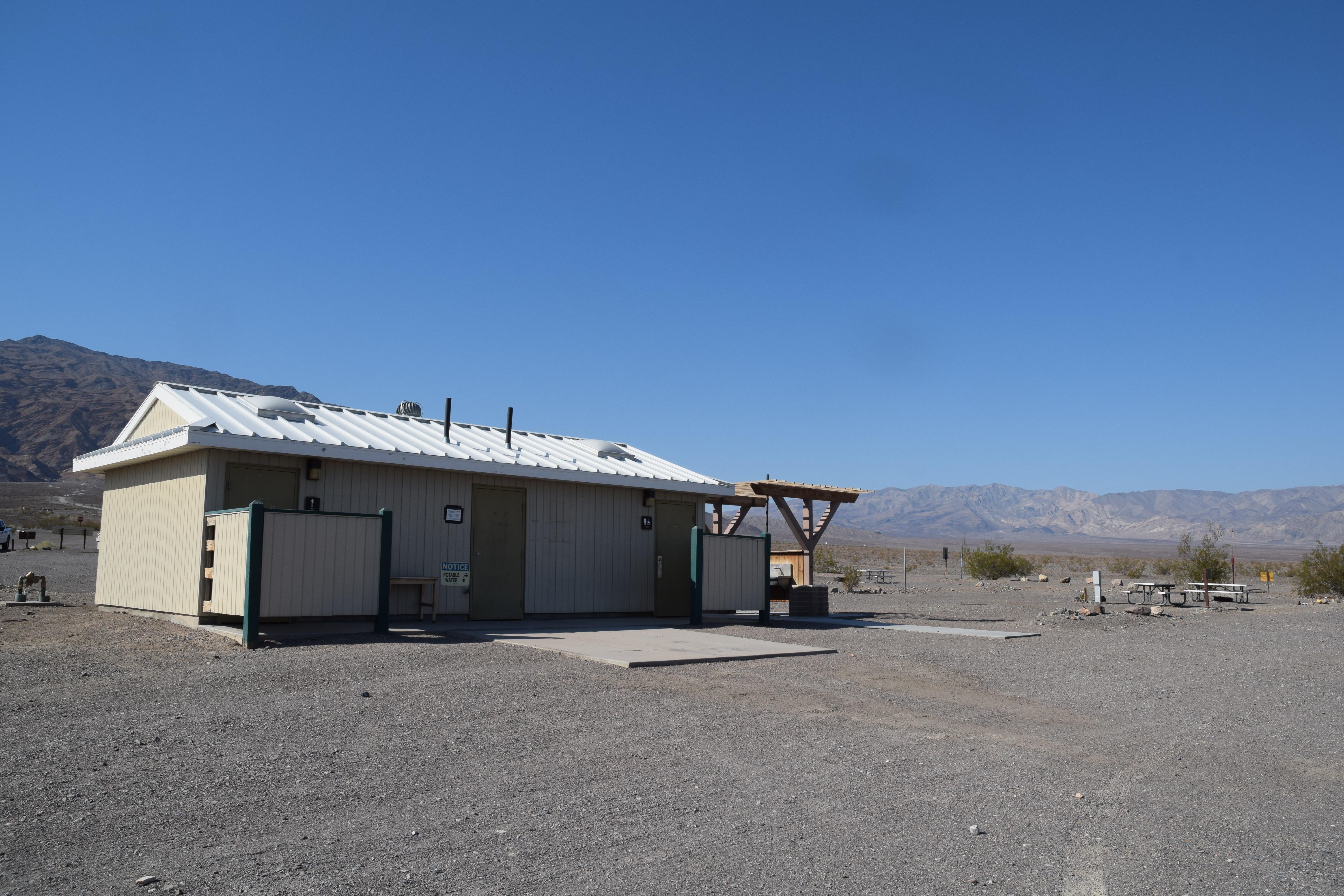 Stovepipe Wells CampgroundFacility · not watchable
Open seasonally, typically late fall through mid-to-late April. First-come, first-served campground located at sea level.
- Strawberry CreekFacility · not watchable
California Department of Fish and Game plants rainbow trout twice per month spring and early summer at Hwy 243 bridge and downstream at bridge near Camp…
- Strawberry Point CampgroundCampground · not watchable
Location: 23 miles east of Placerville on Highway 50 and 11 miles north on Ice House Road (Forest Road 3),and (right) 3 miles on Ice House/Wrights Lake Tie…
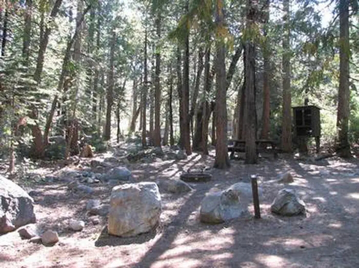 Stumpy MeadowsCampground · 38 sites
Overview Stumpy Meadows, on the Stumpy Meadows Reservoir, provides an enjoyable setting in a heavy conifer forest with easy access to an array of water…
- Sugar Pine Boat RampFacility · not watchable
Located on the southern shore of Sugar Pine Reservoir, there is a concrete ramp and metal floating dockwith handrails and tie ups.
- Sugar Pine Point CampgroundCampground · not watchable
Recreation Opportunity Guides (ROG) - These guides contains information, maps, and directions to assist you in enjoying your trip to the Eldorado National…
- Sugar Pine Railway - Strawberry to FraserFacility · not watchable
This gentle three mile (one way) hike parallels the South Fork of the Stanislaus River and overlays the historic Sugar Pine Railroad System.
- Sugar Pine Staging AreaFacility · not watchable
This is the main staging area for the Foresthill OHV Trails. The large gravel parking lot area is the best location for day users to park and for RV or toy…
 Summerdale CampgroundCampground · 56 sites
Overview Summerdale Campground is located just 1.5 miles from Yosemite National Park, and sits in a scenic wildflower-filled meadow, surrounded by fir,…
 Summit Lake NorthCampground · 42 sites
Overview Summit Lake North Campground (elevation 6,700 ft.) is conveniently located on the main road of Lassen Volcanic National Park.
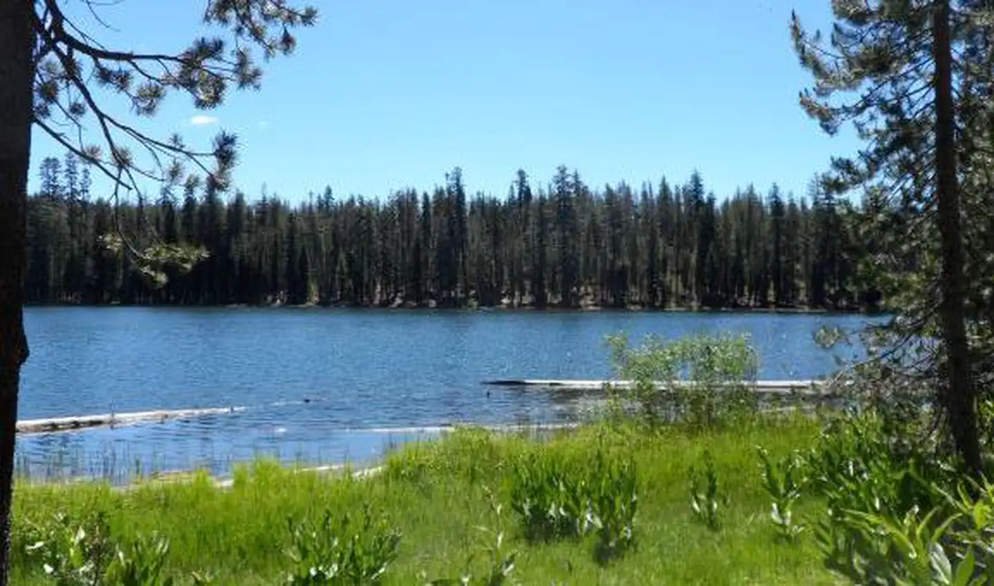 Summit Lake SouthCampground · 45 sites
Overview Summit Lake South Campground (elevation 6,700 ft.) is conveniently located on the main road of Lassen Volcanic National Park.
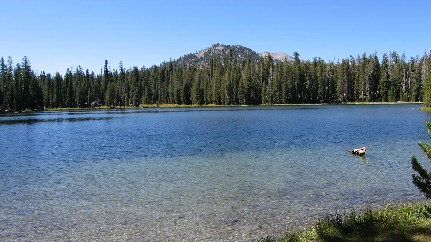 Summit Lake Stock CorralCampground · 1 sites
Overview Summit Lake Stock Corral (elevation 6,700 ft.) is conveniently located on the main road of Lassen Volcanic National Park.
- Summit Lake/ Mud Lake TrailheadFacility · not watchable
This trail can be used to access Mud Lake, Rock Lake, or Spicer Reservoir; or Sword Lake for a longer backpacking trip.
- Summit OHV Staging AreaFacility · not watchable
This staging area has ample parking, a few unshaded picnic tables, and trash cans. Forest Road 3N22 south of the staging area is for Red/Green sticker OHV's…
- Summit Scenic OverlookFacility · not watchable
Located on State Highway 138 west of Summit Valley Road (part of the Rim of the World Scenic Byway).
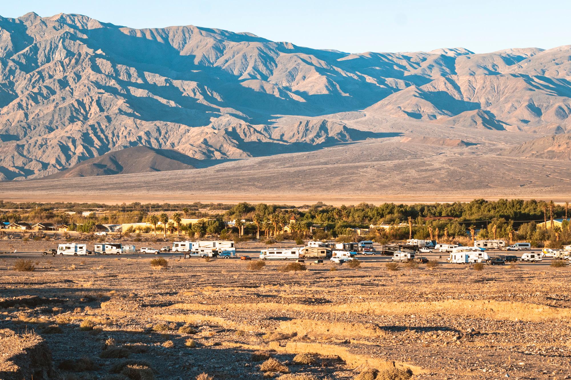 Sunset CampgroundCampground · not watchable
Open seasonally, typically late fall through mid-to-late April. First-come, first-served, large campground that rarely fills.
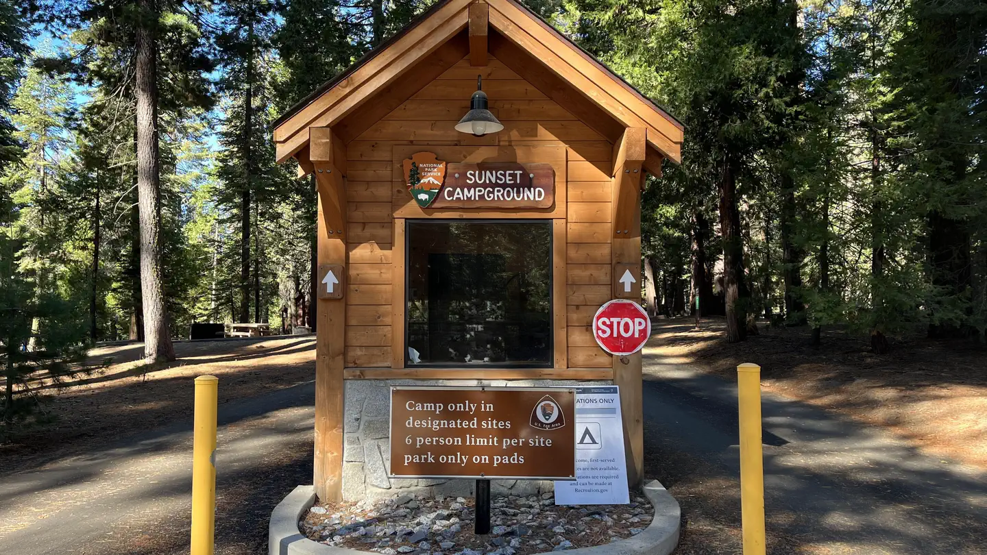 Sunset Campground (Ca)Campground · 149 sites
Overview Sunset campground is centrally located in Sequoia and Kings Canyon National Parks in central California's rugged Sierra Nevada range.
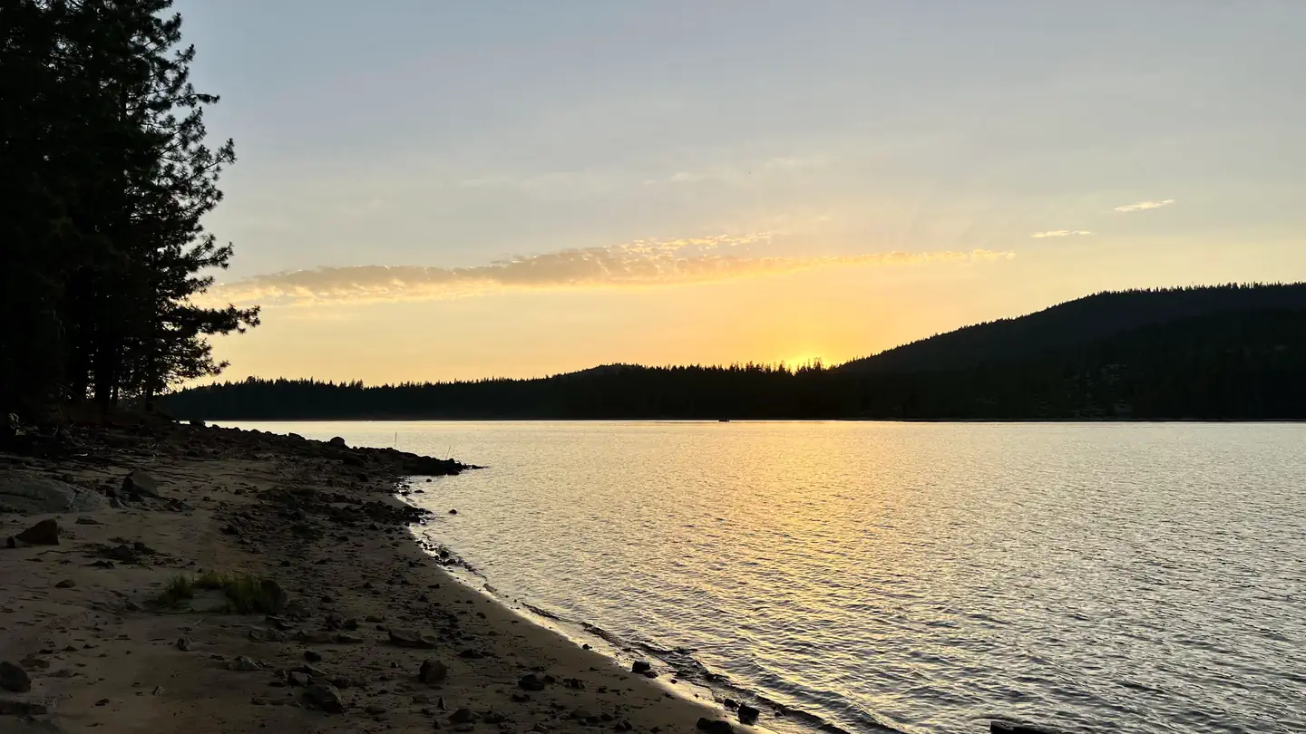 Sunset-Union ValleyCampground · 119 sites
Overview Sunset Campground is situated on the shores of Union Valley Reservoir, among the towering cedar and ponderosa pines of Eldorado National Forest.
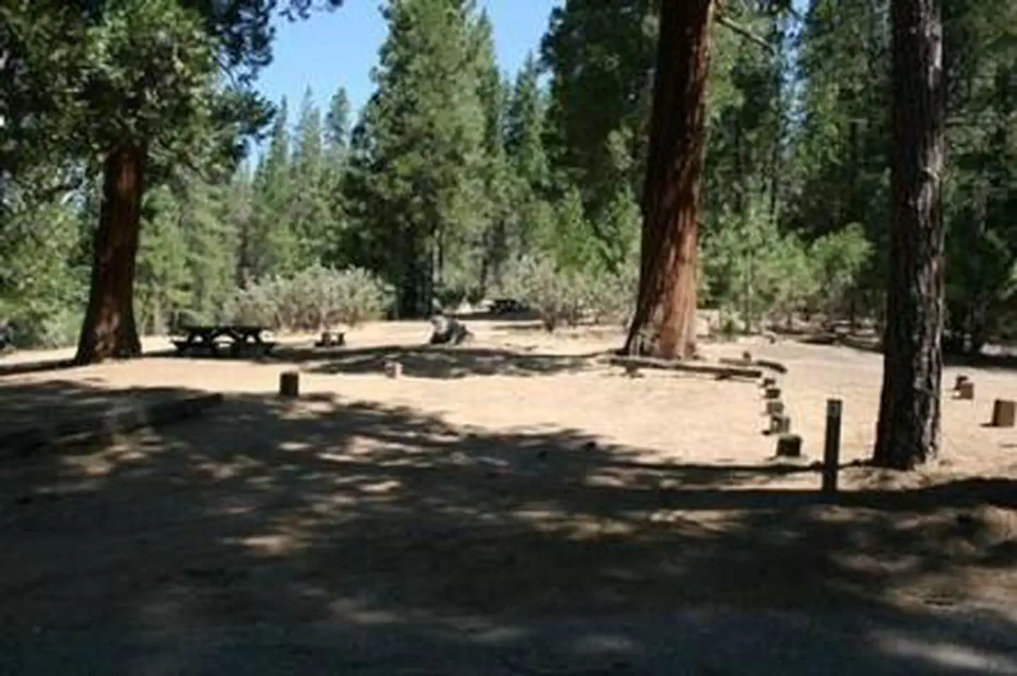 SweetwaterCampground · 12 sites
Overview Sweetwater Campground remains closed due to the 2020 Creek Wildfire Sweetwater Campground is laid out in a single loop along Chiquito Creek, shaded by…
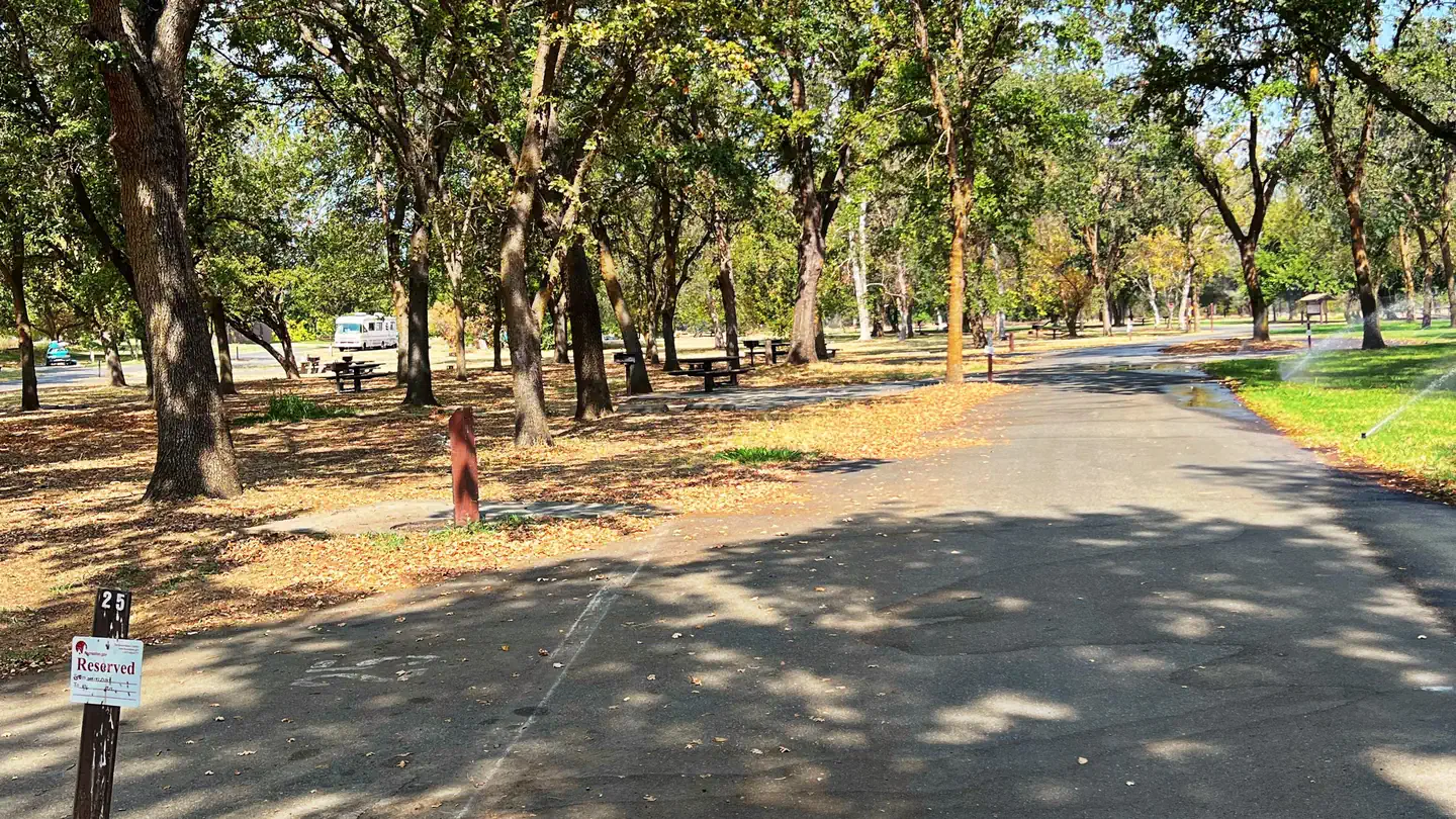 Sycamore Grove (Red Bluff) CampgroundCampground · 31 sites
Overview Sycamore Grove Campground sits along the banks of the sparkling Sacramento River at a 300-foot elevation, within the 488-acre Red Bluff Recreation…
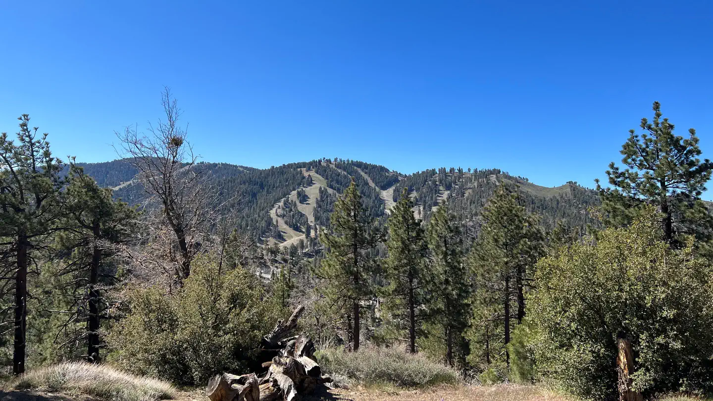 Table Mountain (Angeles)Campground · 104 sites
Overview Table Mountain, just a short journey northwest of the Los Angeles metro area, provides a beautiful escape from urban life.
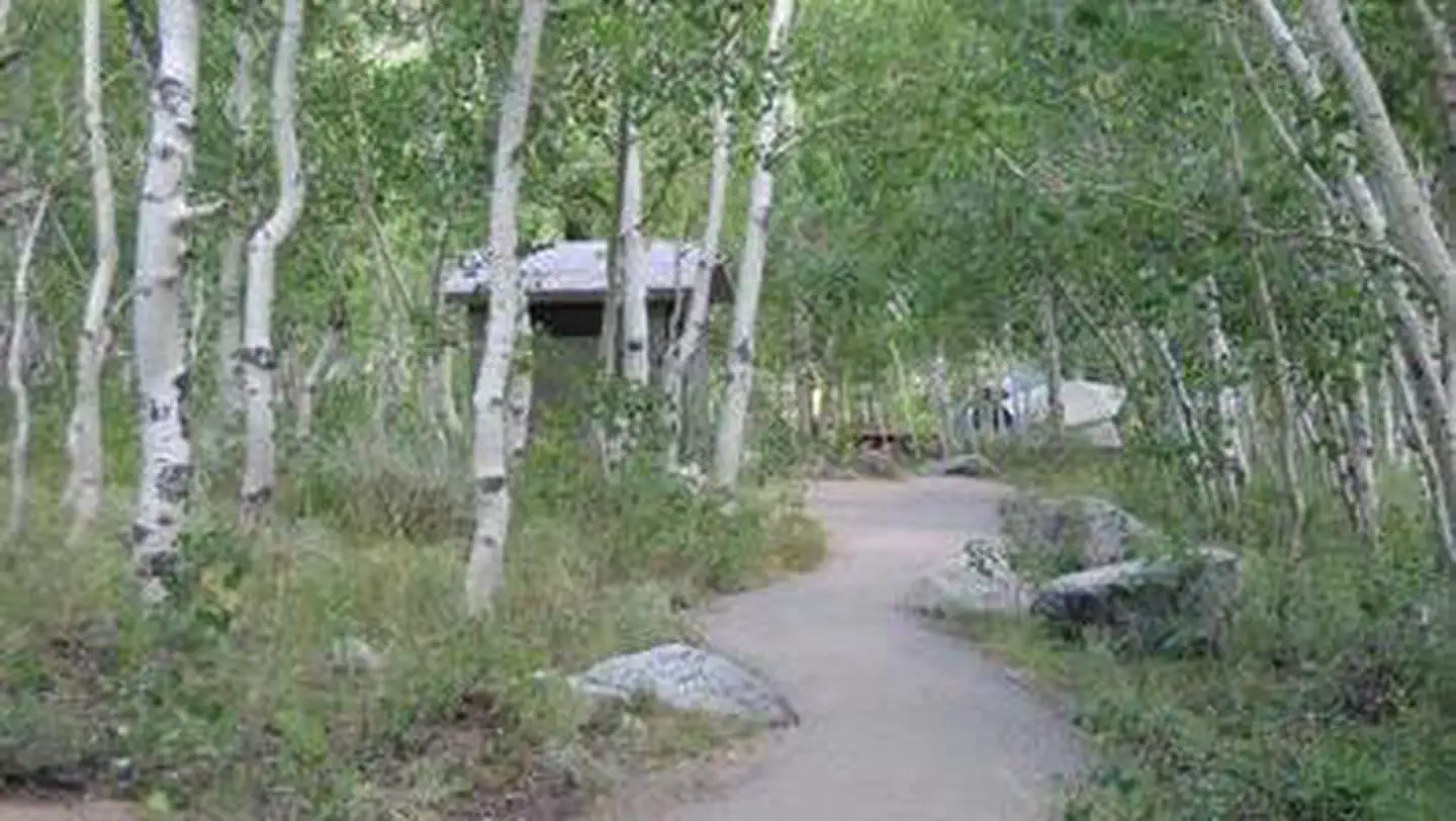 Table Mountain (Inyo)Campground · 1 sites
Overview Table Mountain Group Campground is located 18 miles southwest of Bishop, California, along the South Fork of Bishop Creek.
- Tahquitz Peak Fire LookoutFacility · not watchable
The hike up to this lookout tower through the San Jacinto Wilderness offers some of the most beautiful vistas in Southern California, including the Salton Sea…
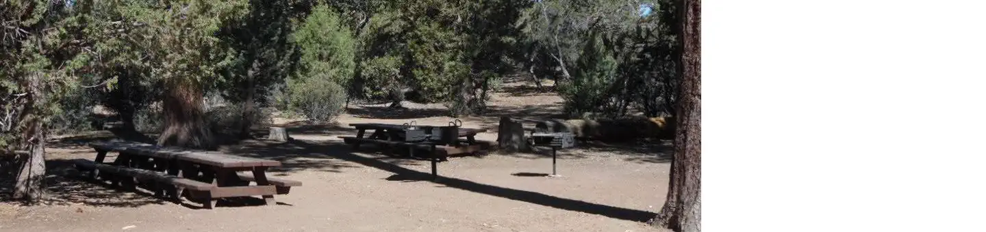 Tanglewood Group CampCampground · 1 sites
Overview The Tanglewood Group Campground provides a picturesque spot for an extended family or large group getaway.
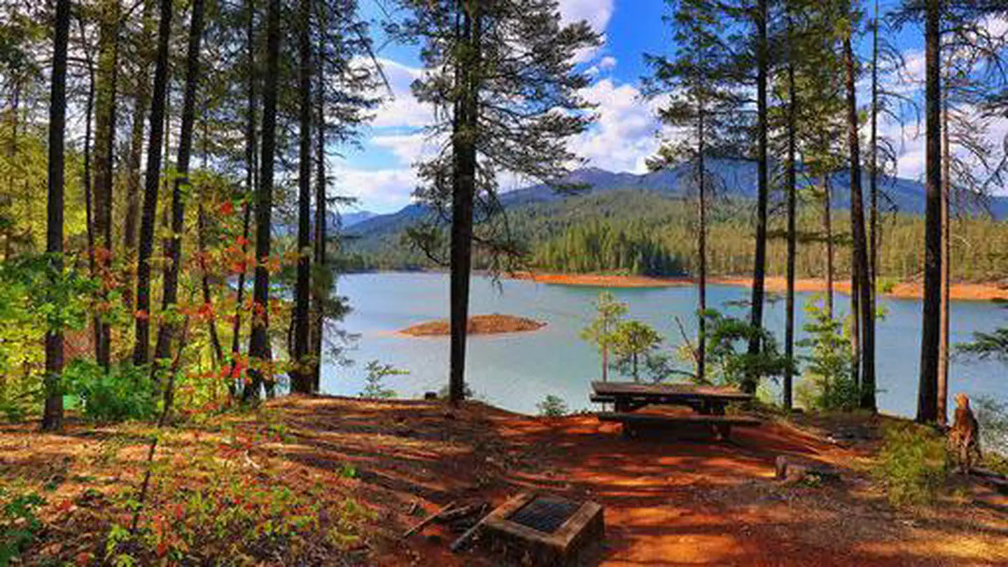 TanneryCampground · 63 sites
Overview Tannery Gulch Campground offers four loops of sites shaded by a mix of conifer and deciduous trees on the shores of Trinity Lake.
- TeleLi puLaya (Black Oak) CampgroundCampground · not watchable
TeleLi puLaya Campground is a new campground, which opened in 2014 and provides spectacular views of the Stanislaus River Canyon.
 Tent Peg GroupCampground · 1 sites
Overview Tent Peg Group Campground offers a semi-primitive location for an extended family or large group outing.
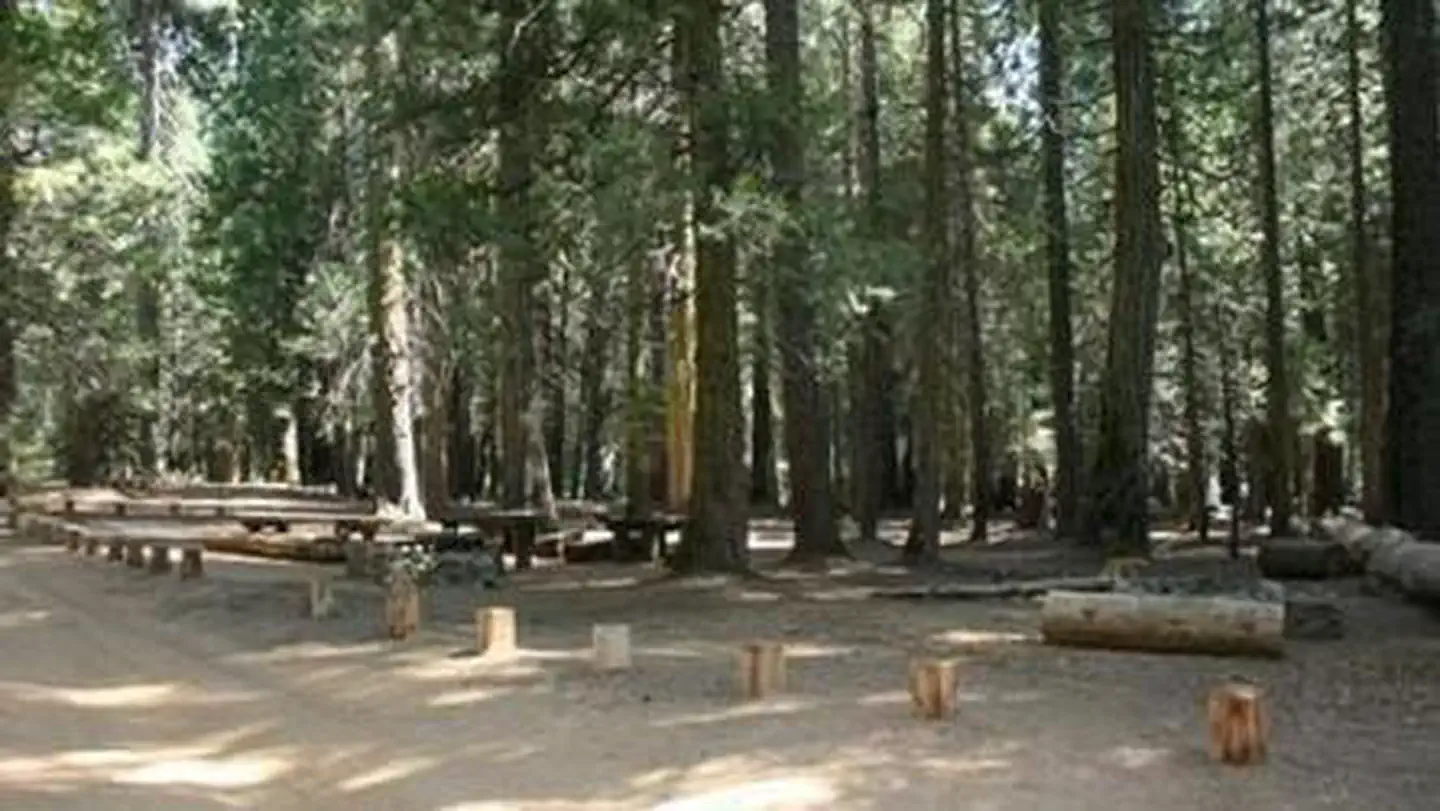 Texas FlatsCampground · 4 sites
Overview Texas Flats Campground remains closed due to hazard trees. Texas Flats Campground is a horse-friendly group camp situated on the banks of McGilvery…
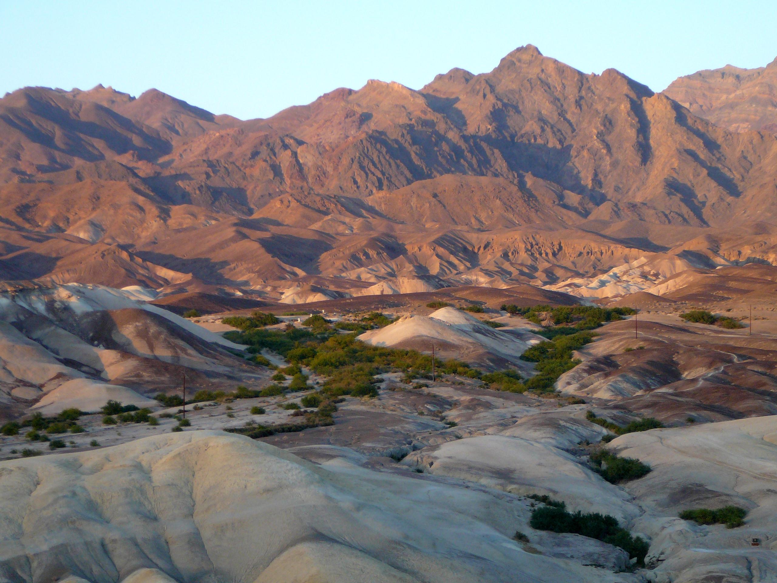 Texas Springs CampgroundFacility · not watchable
Typically open seasonally, late fall through mid-April. First-come, first-served campground located in the hills above Furnace Creek.
 The Fairmont Hotel San FranciscoFacility · not watchable
The Fairmont Hotel San Francisco, built in 1907 and a member of Historic Hotels of America® since 2001 was listed in the National Register of Historic Places…
 The Mission Inn Hotel and SpaFacility · not watchable
The Mission Inn Hotel & Spa, built in 1876 and a member of Historic Hotels of America® since 1995 was designated by the U.S.
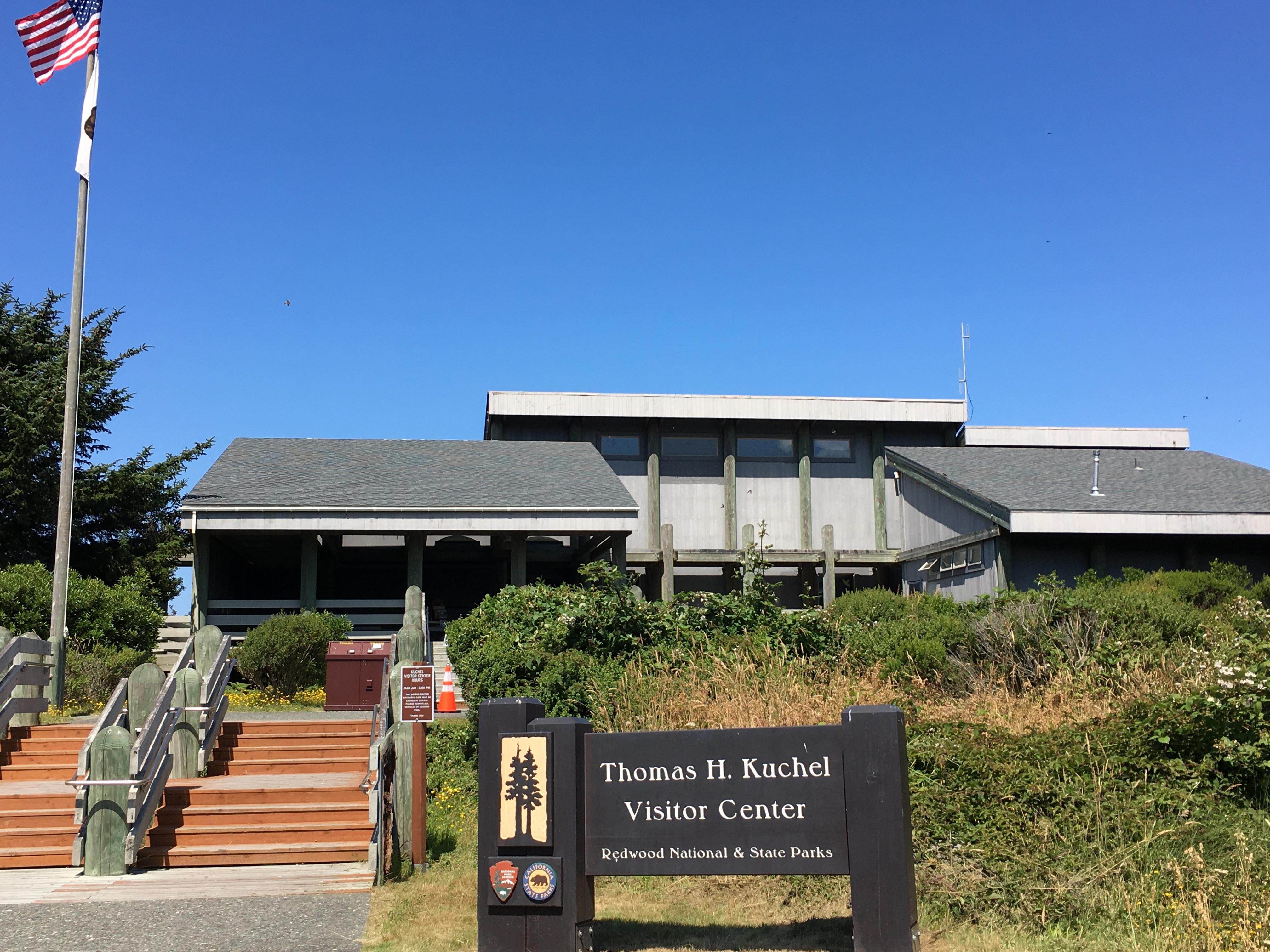 Thomas H. Kuchel Visitor CenterFacility · not watchable
Southern-most visitor center in the park and located right on the beach. Exhibits about Yurok culture, art and history, redwood ecology, park information,…
- Thomas Hunting Grounds Yellow Post SitesFacility · not watchable
These five remote camping sites offer locations for tent and car camping. There are some mature shade trees near the sites, but other than a metal fire…
- Thomes Gorge TrailheadFacility · not watchable
This trail starts from the Thomes Gorge trail head on Forest Road M4 and is named for the people indigenous to this locale.
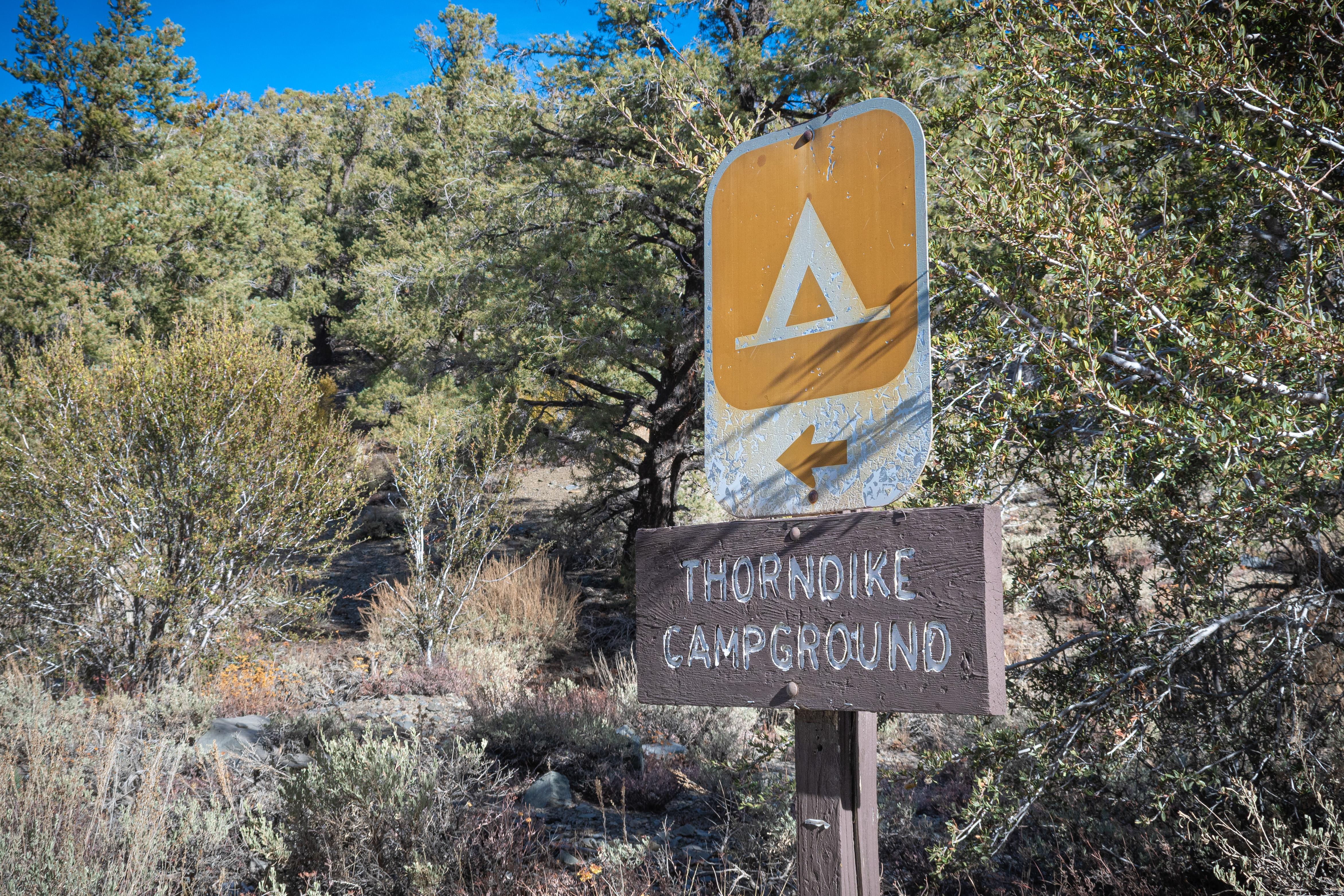 Thorndike Campground (Primitive)Facility · not watchable
***No Potable Water Available in the Wildrose Area. Closest available water ~38 miles north at Stovepipe Wells, CA.
- Three Sisters FallsFacility · not watchable
Elevation Change 1000 Distance 4.5 miles Hike/Ride Time Full day Difficulty Moderate to Strenuous Best Seasons Spring, Winter Ranger District Palomar…
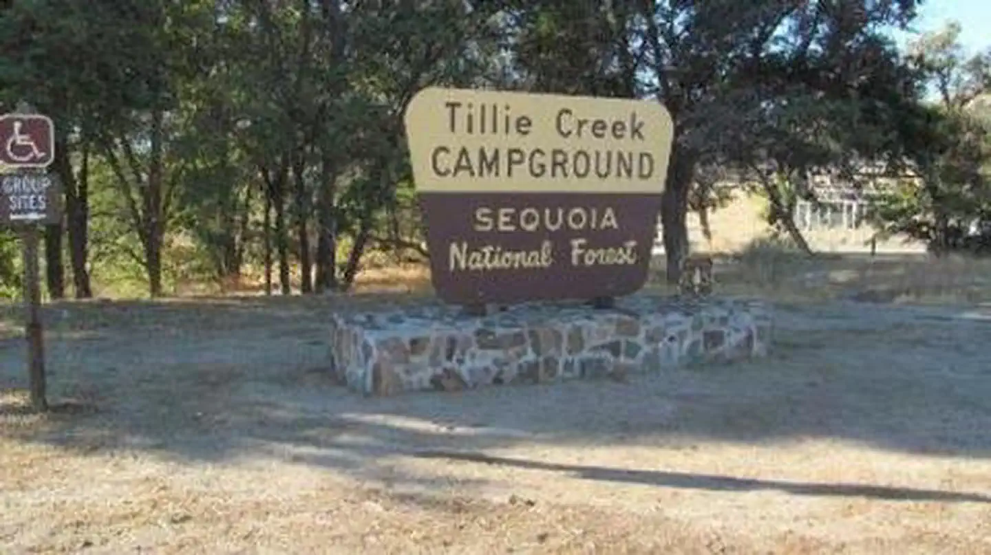 Tillie CreekCampground · 137 sites
Overview Tillie Creek campground is nestled in oak trees on the shores of Lake Isabella, a popular destination for water activities, especially windsurfing and…
- Tolkan CampgroundCampground · not watchable
4 tent sites and 5 trailer campsites Wheelchair accessible sites Fire rings, picnic tables, bear-proof trash cans, vault toilets Trailhead for the Tolkan…
- Tool Box Springs Yellow Post SitesFacility · not watchable
These 6 remote camping sites offer isolated scenic locations ideal for tent and car camping or a relaxing picnic far from the crowds.
- Trabuco Creek Picnic SiteFacility · not watchable
Trails Closeby Holy Jim Falls trailhead located approximately 1.5 miles away Pets Allowed Yes Fees Adventure Pass Required Best Seasons Spring, Winter Location…
- Tramway to San Jacinto PeakFacility · not watchable
Tramway to San Jacinto Peak – 6 miles, elevation change of 2318 feet, strenuous. The easiest and most popular hike to the peak begins at the Mountain Station…
 Tree of Heaven CampgroundCampground · 22 sites
Overview Tree of Heaven Campground is situated next to the Klamath Wild and Scenic River, making it popular with whitewater boaters and anglers.
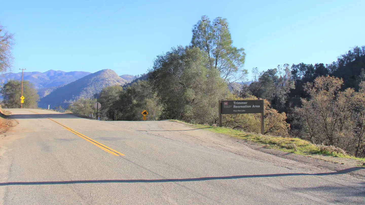 Trimmer CampgroundCampground · 10 sites
Overview Trimmer Campground is a small facility on the shore of Pine Flat Lake in central California.
- Trinity RiverFacility · not watchable
The Trinity River's headwaters begin in the rugged Trinity Alps, making it's way through the wilderness, settling into deep valleys, transitioning to spacious…
- Trinity Unit - National Recreation AreaFacility · not watchable
The Trinity Unit, comprised of Trinity and Lewiston Lakes, is one of three units that comprise the Whiskeytown-Shasta-Trinity National Recreation Area.
- Troy Meadow CampgroundCampground · not watchable
7800 feet elevation. 73 campsites. 24' maximum RV length. Connects to OHV trails. This campground offers high elevation forest camping.
 Trumbull LakeCampground · 30 sites
Overview Trumbull Lake Campground is located next to its scenic namesake at an elevation of 9,980 feet. The lake is one of ten alpine lakes in the area.
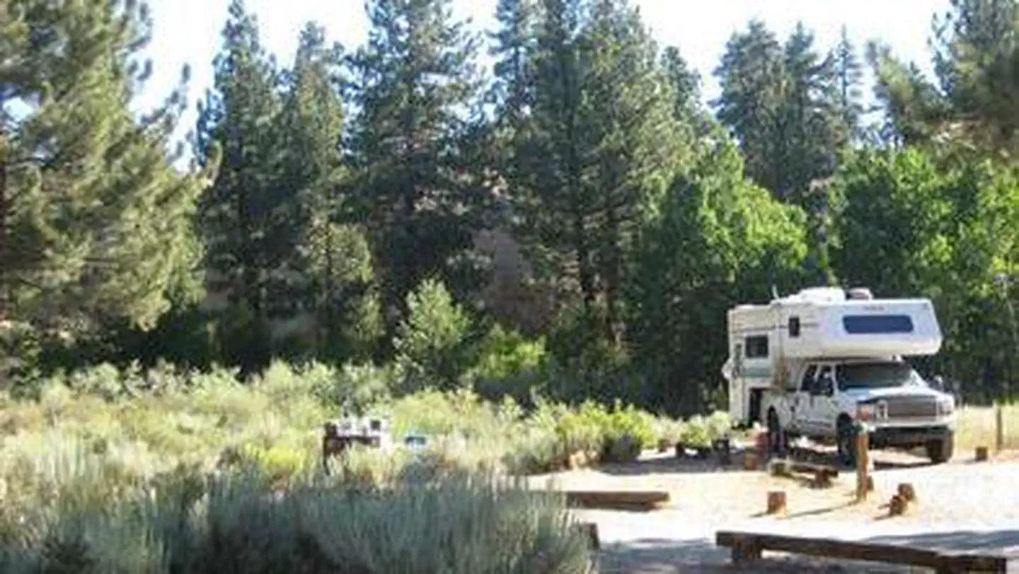 Tuff CampgroundCampground · 33 sites
Overview Tuff Campground is situated along Rock Creek in the scenic Sierra Nevada Mountains of California. It is convenient to Tom's Place and U.S.
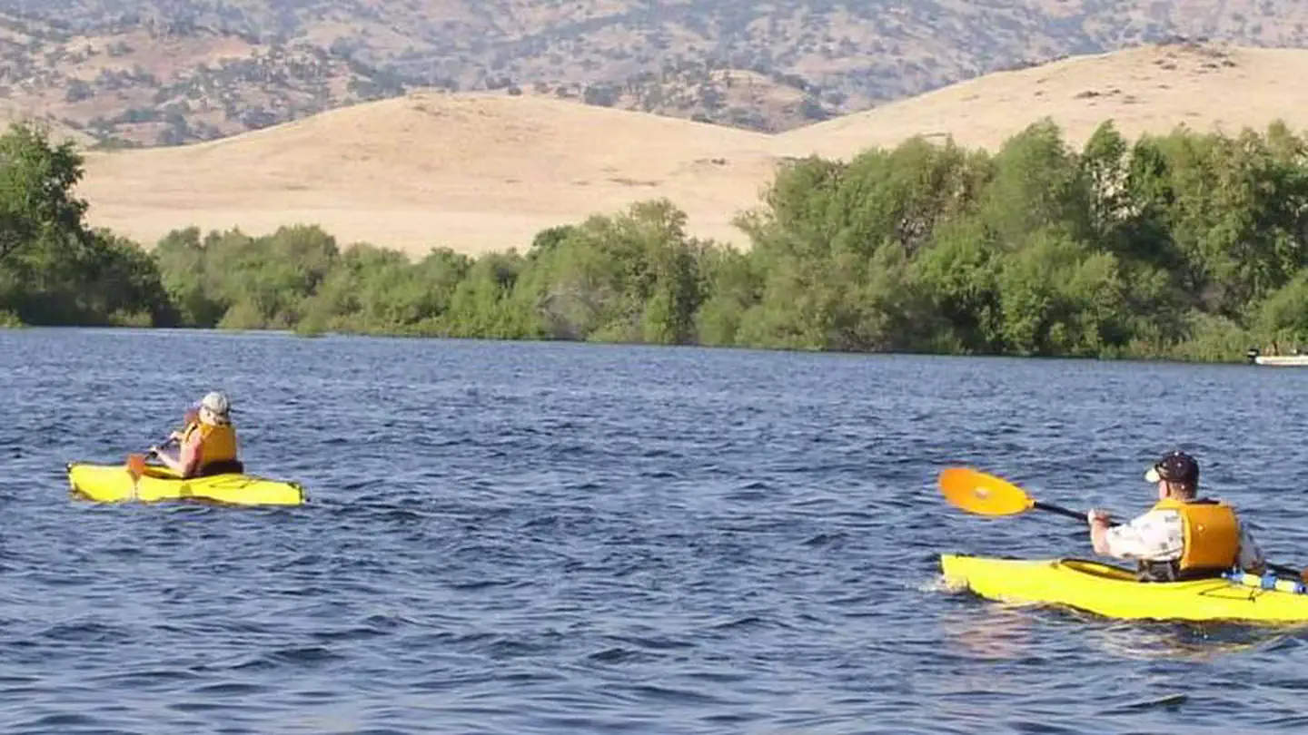 TuleCampground · 101 sites
Overview Tule Campground is located at Success Lake in the Sierra Nevada foothills just 8 miles east of Porterville, California.
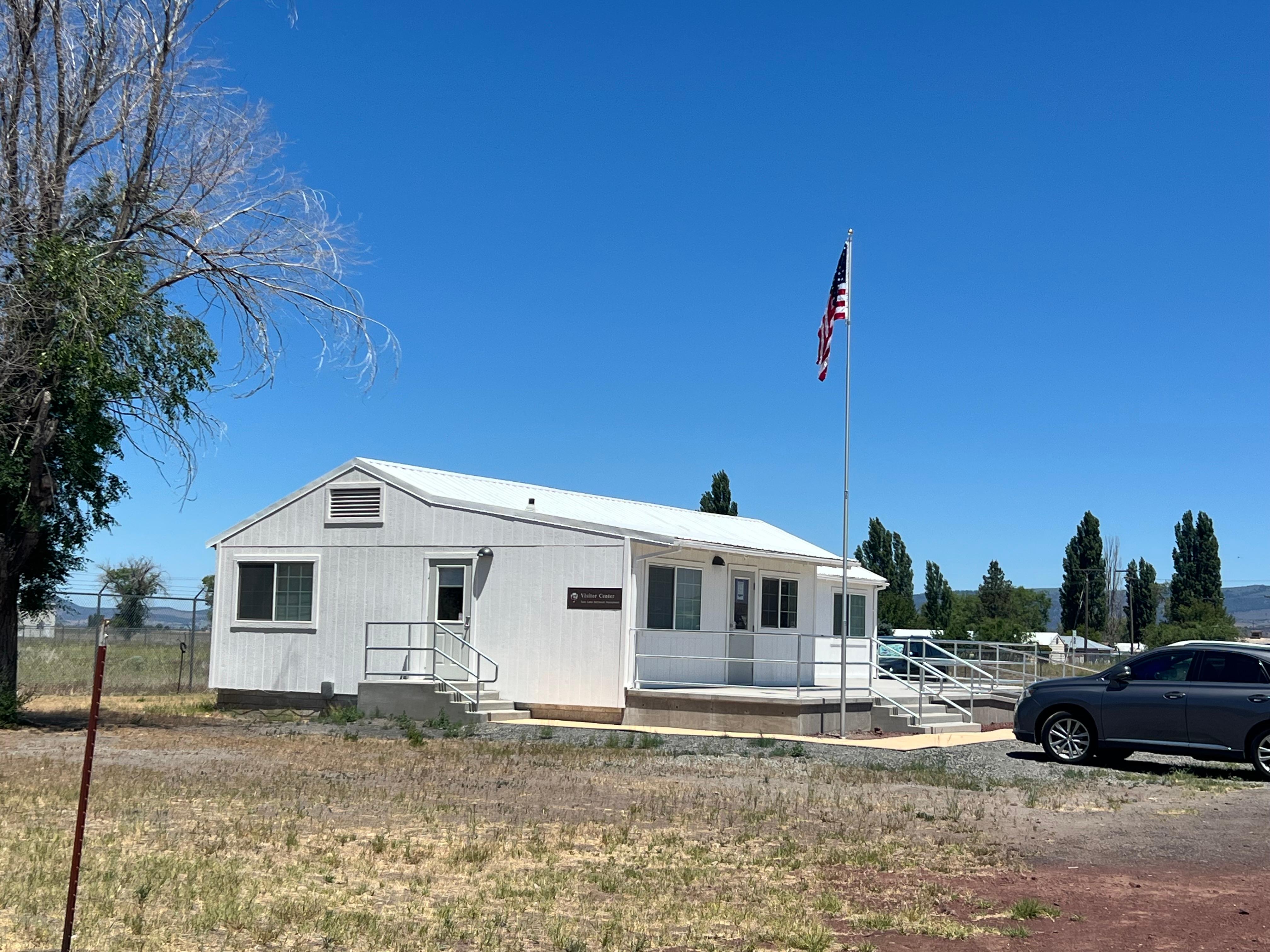 Tule Lake Visitor CenterFacility · not watchable
Tule Lake National Monument visitor center will be open intermittently starting Friday, May 23.
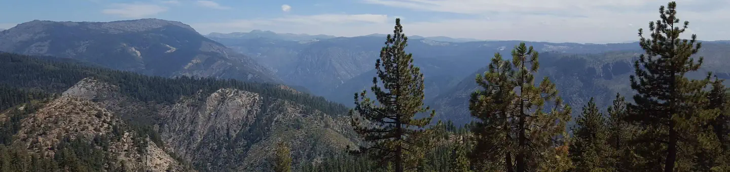 Tunnel Mills IICampground · 2 sites
Overview Tunnel Mills Group Campground is located along the East Fork of the North Fork of the North Fork American River in the Tahoe National Forest.
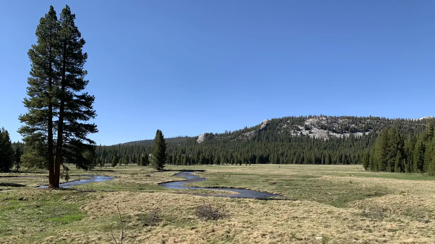 Tuolumne Horse CampsitesCampground · 4 sites
Overview Tuolumne Meadows Campground standard and Group site reservations are located here: Tuolumne Meadows Campground, Yosemite National Park -…
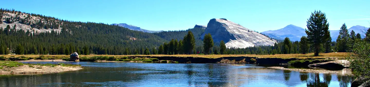 Tuolumne Meadows CampgroundCampground · 284 sites
Overview Tuolumne Meadows Campground recently had a complete overhaul and rehabilitation of the campsites.
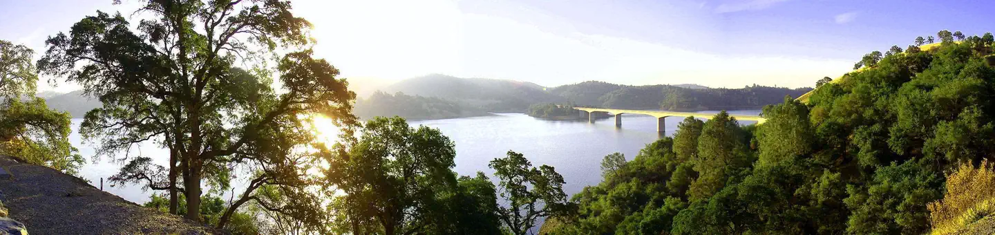 Tuttletown Recreation AreaCampground · 163 sites
Overview Tuttletown Recreation Area is located at New Melones Lake on the Stanislaus River.
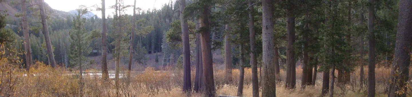 Twin Lakes CampgroundCampground · 93 sites
Overview Twin Lakes Campground is located in the eastern Sierra Nevada Mountains near the town of Mammoth Lakes, California.
- Ukonom Ranger DistrictFacility · not watchable
The Ukonom Ranger District, while within the geographic boundary of the Klamath National Forest, has been administered by the Six Rivers National Forest since…
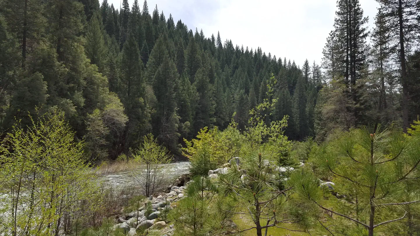 Union FlatCampground · 11 sites
Overview Union Flat Campground is located on the North Yuba River, near Highway 49.
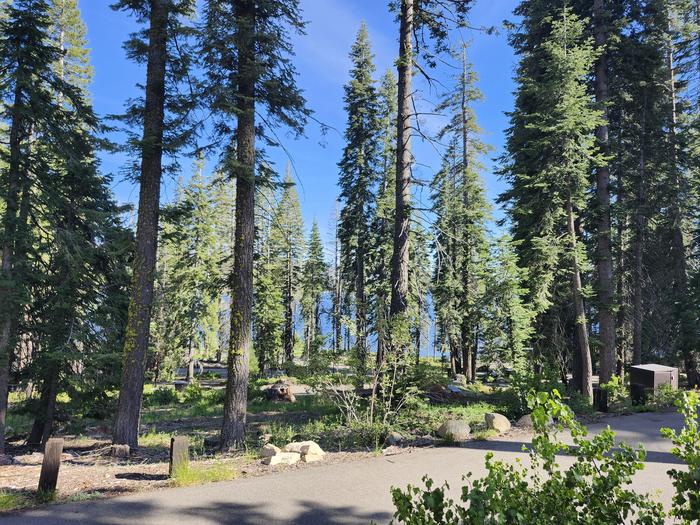 Upper Billy Creek CGCampground · 37 sites
Overview Upper Billy Creek Campground is located across the road from Huntington Lake near the Kaiser Wilderness.
- Upper Hole CampgroundCampground · not watchable
This facility is only accessible by boat or trail. Location: 22 miles east of Georgetown on Wentworth Springs Road, and 29 miles northeast on Forest Highway 2…
 Upper Little TruckeeCampground · 22 sites
Overview Upper Little Truckee Campground is located on Highway 89, about 12 miles north of Truckee.
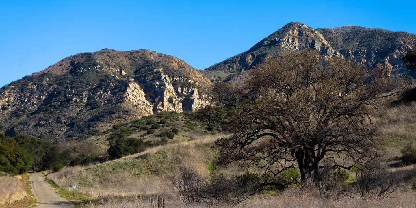 Upper Oso CampgroundCampground · 19 sites
Overview Upper Oso Campground provides ample opportunity for exploration of California's coastal mountains.
- Upper OsoTrailheadFacility · not watchable
The site is located on the Camuesa Road, 1 mile from Paradise Road. Upper Oso Trailhead is a paved and located just past Upper Oso Campground.
- Upper Peppermint Dispersed AreaFacility · not watchable
7100-foot elevation. Undeveloped dispersed camping area within the Giant Sequoia National Monument.
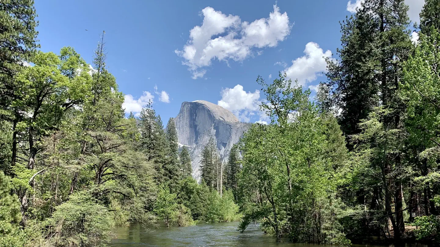 Upper Pines CampgroundCampground · 235 sites
Overview Upper Pines campsites are available to reserve up to five months in advance on the 15th of each month at 7:00 a.m. PST.
- Upper Richbar Picnic SiteFacility · not watchable
This is a consessionaire managed day use area. Managed by California Land Management, it is located approximately 20 miles northeast of Bakersfield along State…
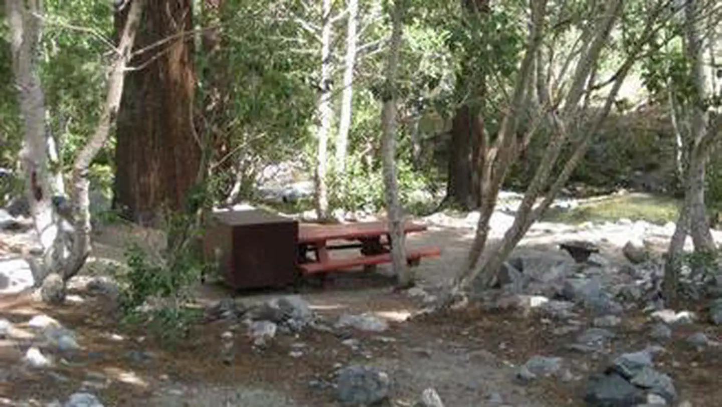 Upper Sage FlatCampground · 20 sites
Overview Take the family to Upper Sage for a pleasant camping trip along the banks of Big Pine Creek.
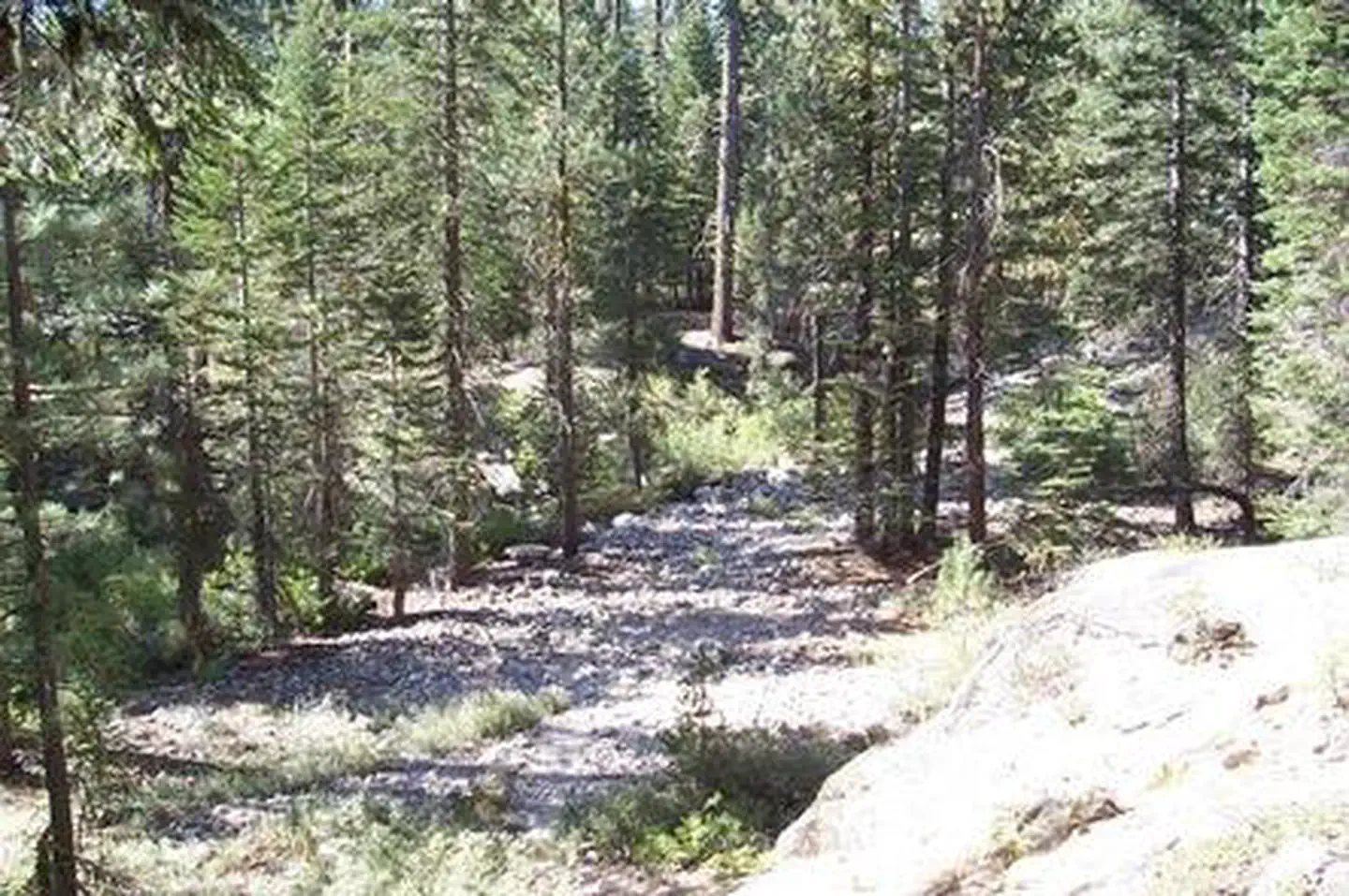 Upper Stony Creek CampgroundCampground · 17 sites
Overview Upper Stony Creek Campground sits in the mid-elevation of the Sierra Nevada mountains at an elevation of about 6,500 feet.
- Utica/Union ReservoirsFacility · not watchable
These scenic small, twin reservoirs are located off the Spicer Reservoir Road. The setting is more rustic than either Spicer Reservoir or Lake Alpine.
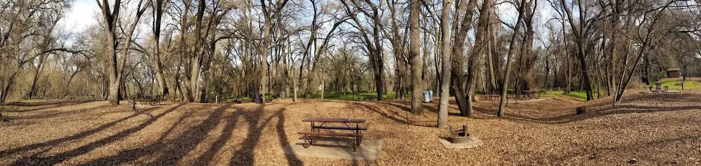 Valley Oak Recreation AreaCampground · 11 sites
Overview Valley Oak Campground is part of the park system scattered along the lower Stanislaus River within the foothills of the Sierra Nevada.
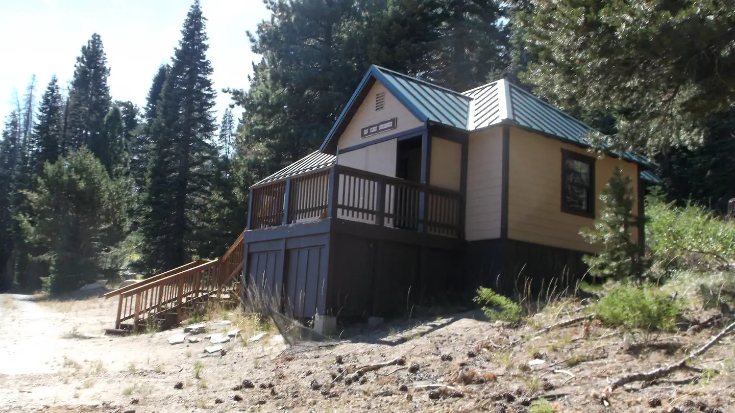 Van Vleck BunkhouseCampground · 1 sites
Overview Winter guests take on a more challenging adventure and must traverse an approx. 6-mile trek with a 1,300-foot elevation gain to reach the bunkhouse.
- Ventana WildernessFacility · not watchable
This wilderness was established in 1978 by the Endangered American Wilderness Act, first addition was in 1978 by the Endangered American Wilderness Act, second…
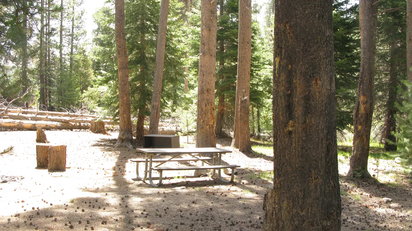 VermillionCampground · 30 sites
Overview Vermillion Campground is located on the northwest shore of Edison Lake, in a shady stand of Ponderosa pine. Most sites provide lake views.
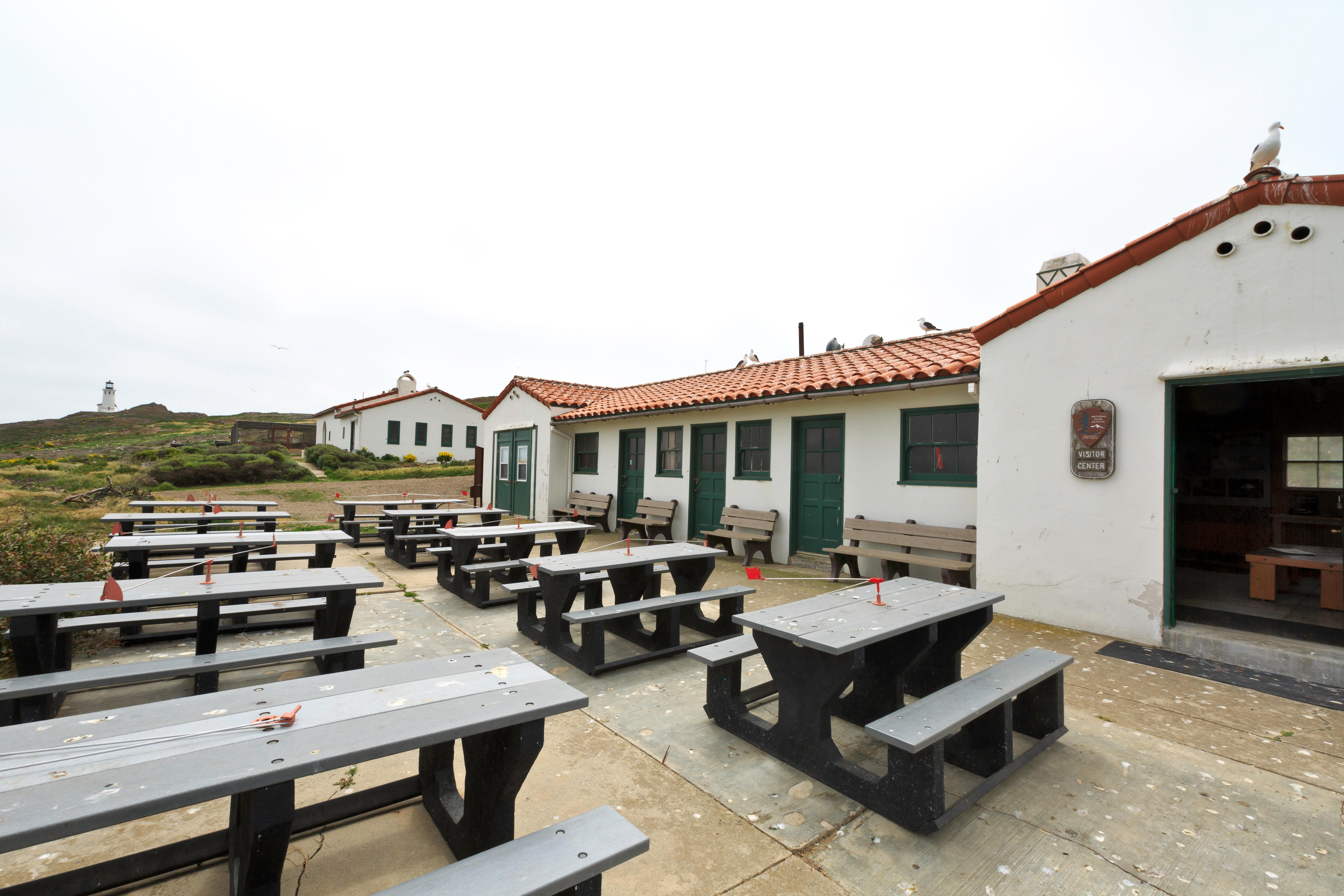 Visitor Center Anacapa IslandVisitor Center · not watchable
Once the historic Coast Guard general services building (workshop and garage), this Mission Revival style building now serves as a small visitor center that…
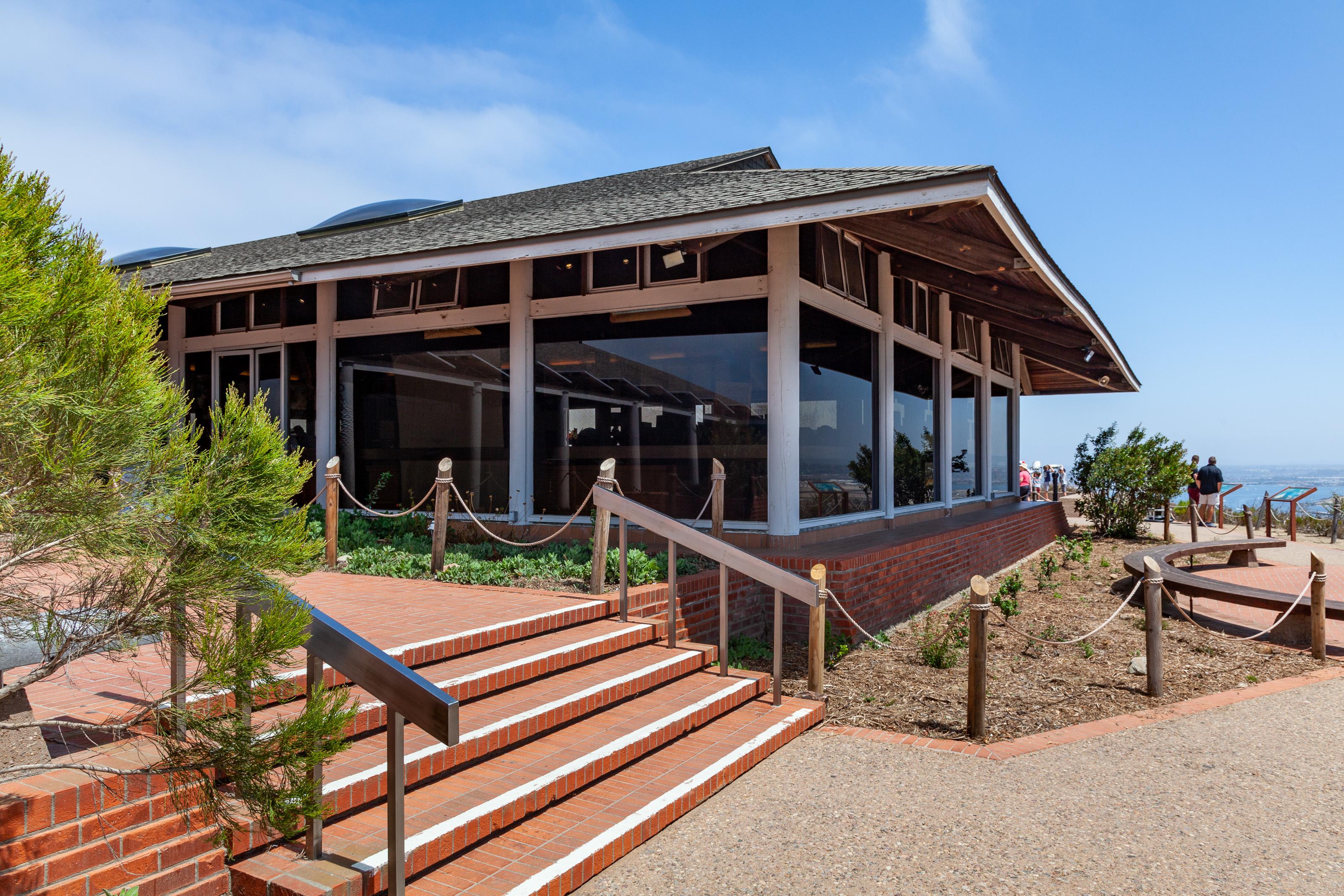 Visitor Center and View BuildingFacility · not watchable
The Visitor Center at Cabrillo National Monument is the perfect place to get oriented to the park.
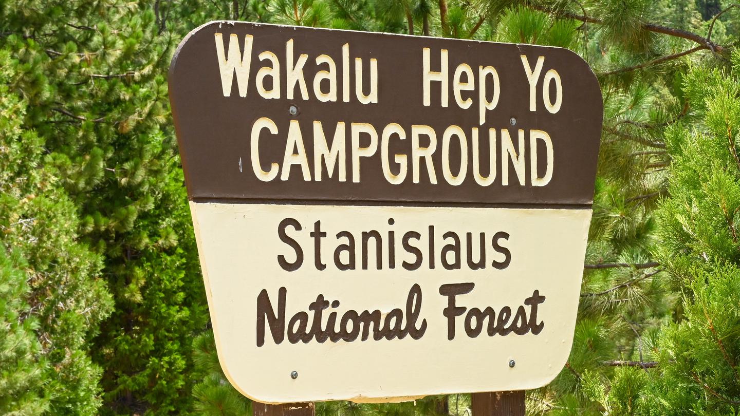 Waka Lu Hep YoCampground · 5 sites
Overview For over 2000 years the Miwuk people lived seasonally in this canyon, gathering food, and fishing the river. The Miwuk word WaKaLuu means river and…
- Walker Pass CampgroundCampground · not watchable
Walker Pass Campround is located just off of California State Highway 178 and at the junction of the Owens Peak and Cache Peak segments of the Pacific Crest…
 Warm Springs Rec AreaCampground · 6 sites
Overview Warm Springs Recreation Area is a day-use park located at Lake Sonoma, which is just a 45 minute drive north of Santa Rosa and a 2 hour trip from San…
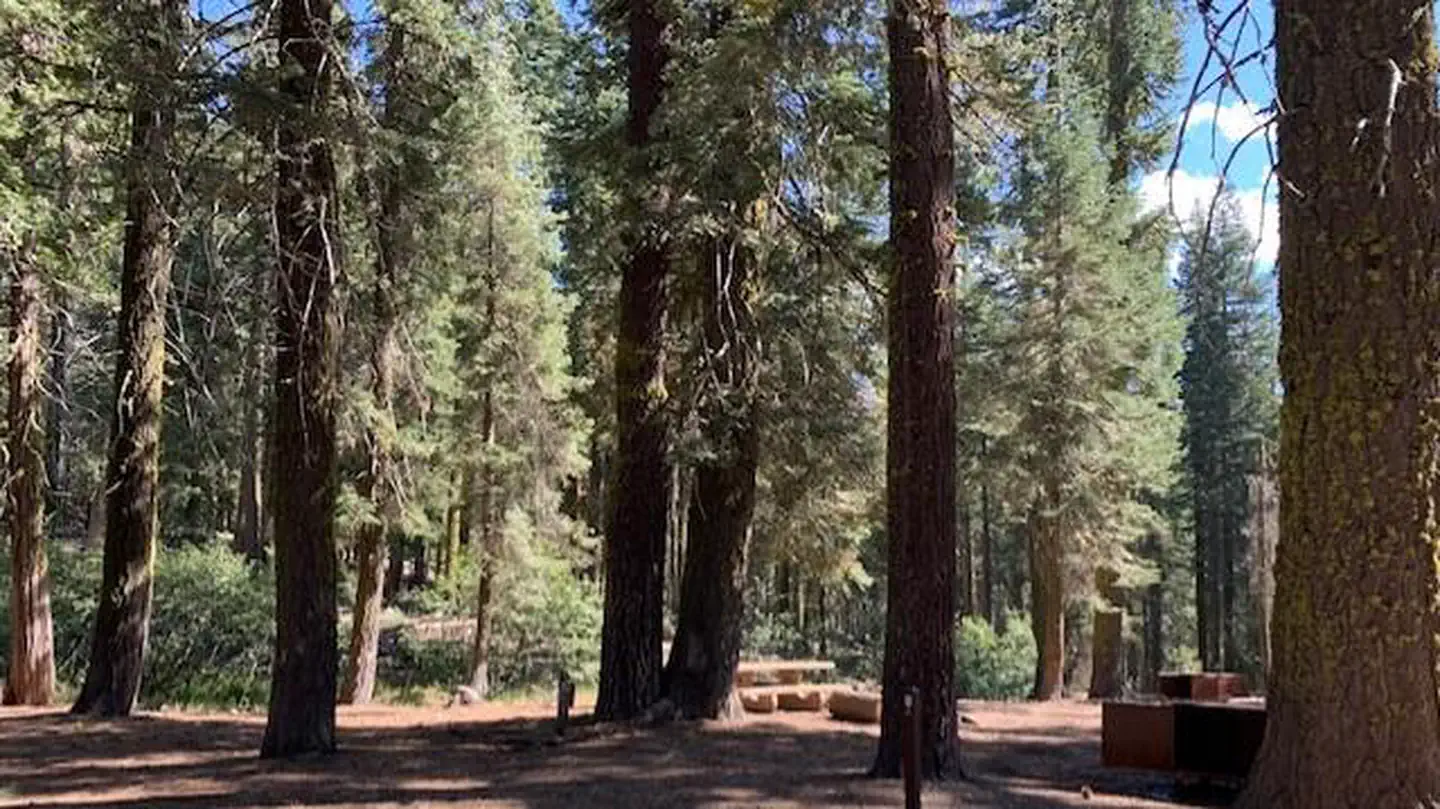 Warner Valley CampgroundCampground · 17 sites
Overview Warner Valley campground is a limited development facility in the south eastern area of the park. It has vault toilets and potable water spigots.
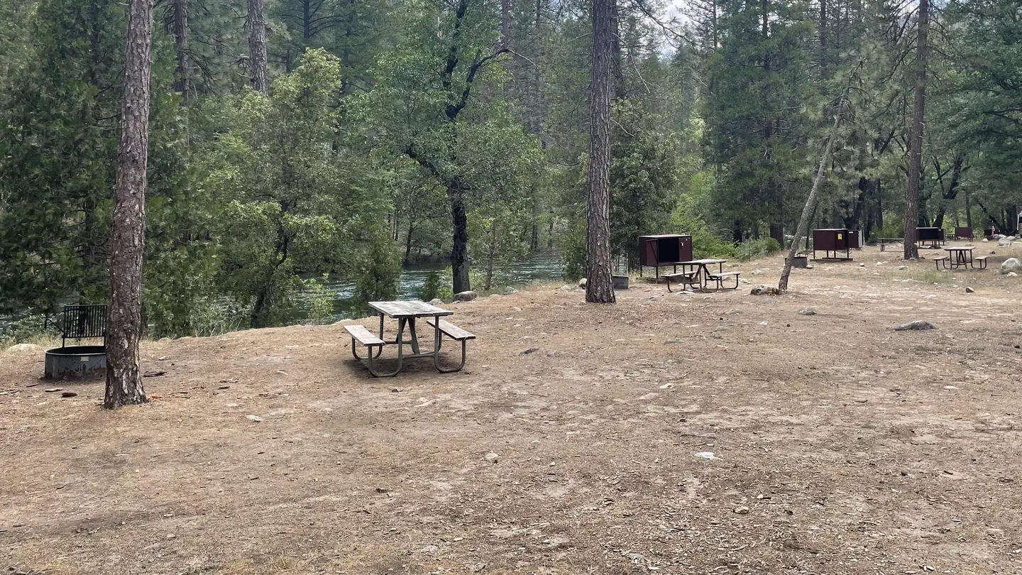 Wawona CampgroundCampground · 96 sites
Overview Wawona Campground is located in breathtaking Yosemite National Park in Central California's rugged Sierra Nevada Mountain Range.
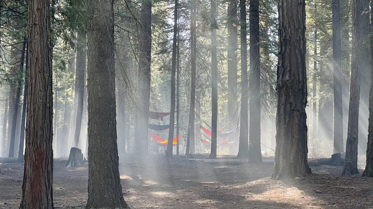 Wench CreekCampground · 100 sites
Overview Wench Creek Campground is located in a beautiful ponderosa pine forest on the east shore of Union Valley Reservoir.
- West Fork Day Use TrailheadFacility · not watchable
At a Glance: Distance: 7 miles (one-way) Difficulty: Easy Total Climbing: Minimal What to Expect For those seeking an easy stroll down a canopied paved trail…
- West Tumamait Trailhead - 21W03Facility · not watchable
Tumamait Trail (21W03) Difficulty: moderate to difficult Length: 4.58 miles CHUMASH WILDERNESS - More information on the Chumash Wilderness: www.wilderness.net…
- Western Divide Ranger DistrictFacility · not watchable
POINTS OF INTEREST Mountain Home Area – Mountain Home, Middle Tule, and Upper Tule Groves of Giant Sequoias; Mountain Home Guard Station Rental Cabin; Long…
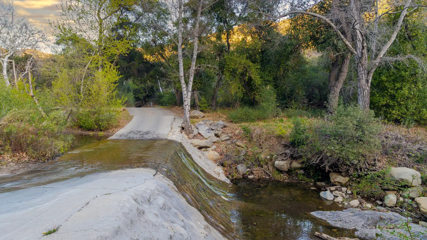 Wheeler GorgeCampground · 66 sites
Overview Wheeler Gorge Campground is a great place for families to explore the Los Padres National Forest all year long.
- Wheeler Gorge Visitor CenterFacility · not watchable
The Wheeler Gorge Visitor Center which is located 8 miles north of Ojai on Highway 33, is the first dedicated Visitor Center in the almost 100 year history of…
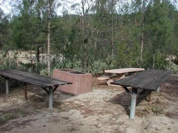 Whiskey Creek Group Picnic Area (Whiskeytown NRA)Campground · 3 sites
Overview Whiskey Creek Group Picnic Area is located on the northern shore of Whiskeytown Lake in Whiskeytown National Recreation Area, 13 miles west of…
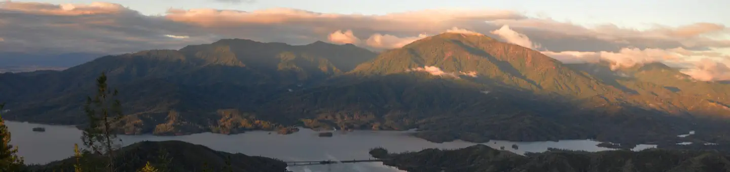 Whiskeytown National Recreation Area Ranger-Guided Kayak and Paddle Board ToursTickets
Overview: Whiskeytown National Recreation Area, located in northern California, is a unit of the National Park Service.
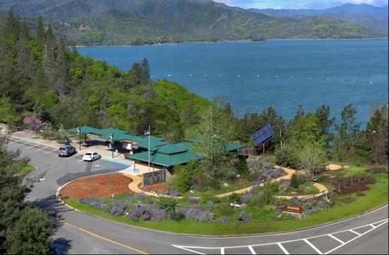 Whiskeytown Visitor CenterFacility · not watchable
The Visitor Center is a great place to start when you arrive in the park. Knowledgeable staff can help you maximize your visit.
- White Azalea CampgroundCampground · not watchable
Recreation Opportunity Guides (ROG) - These guides contains information, maps, and directions to assist you in enjoying your trip to the Eldorado National…
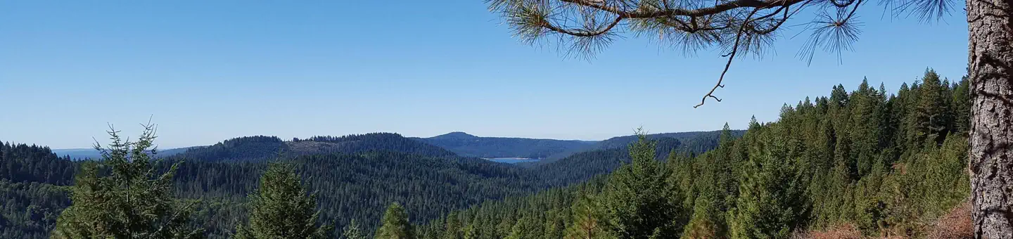 White CloudCampground · 44 sites
Overview White Cloud Campground is located right off of Hwy 20 in a nice wooded area. Scotts Flat Resevoir is 6 miles from White Cloud Campsite.
- White Rock TrailheadFacility · not watchable
White Rock Trailhead is located on Sunset Valley Road on Figueroa Mountain. This trailhead meets up with several other trails in this general area, including…
 White Wolf CampgroundCampground · 49 sites
Overview There is no drinking water provided here. Restrooms are portable toilets. Staying at White Wolf Campground requires reservations.
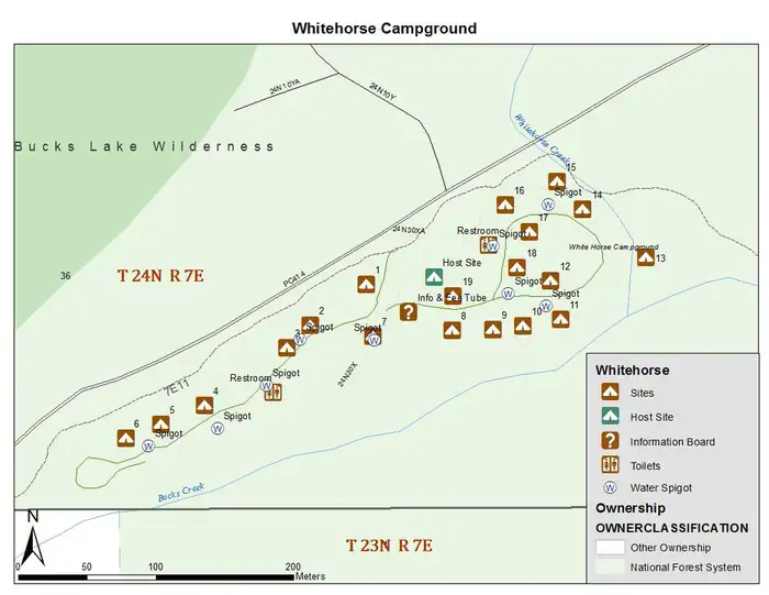 Whitehorse CampgroundCampground · 19 sites
Overview Whitehorse campground is located within three miles of Bucks Lake in the northern Sierra Mountains on the Plumas National Forest.
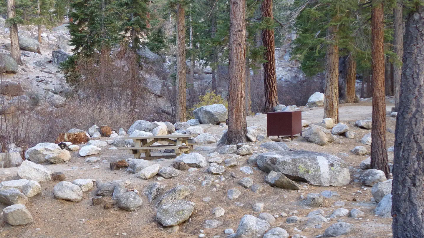 Whitney PortalCampground · 46 sites
Overview Whitney Portal Campground is in a prime location within the eastern Sierra Nevada Mountains - at the base of Mt.
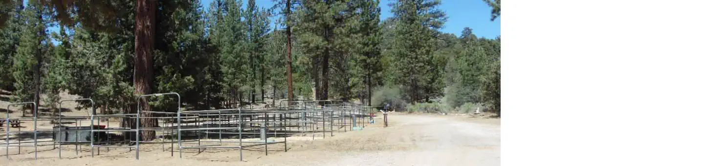 Wild Horse Equestrian FamilyCampground · 11 sites
Overview The Wild Horse Equestrian Campground is one of a handful that is equipped for corralling horses in the beautiful pine-forested mountains of Southern…
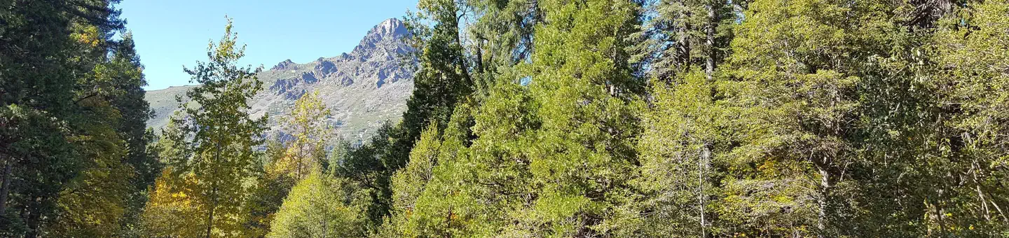 Wild PlumCampground · 47 sites
Overview Wild Plum Campground is located on Haypress Creek in the North Yuba River area.
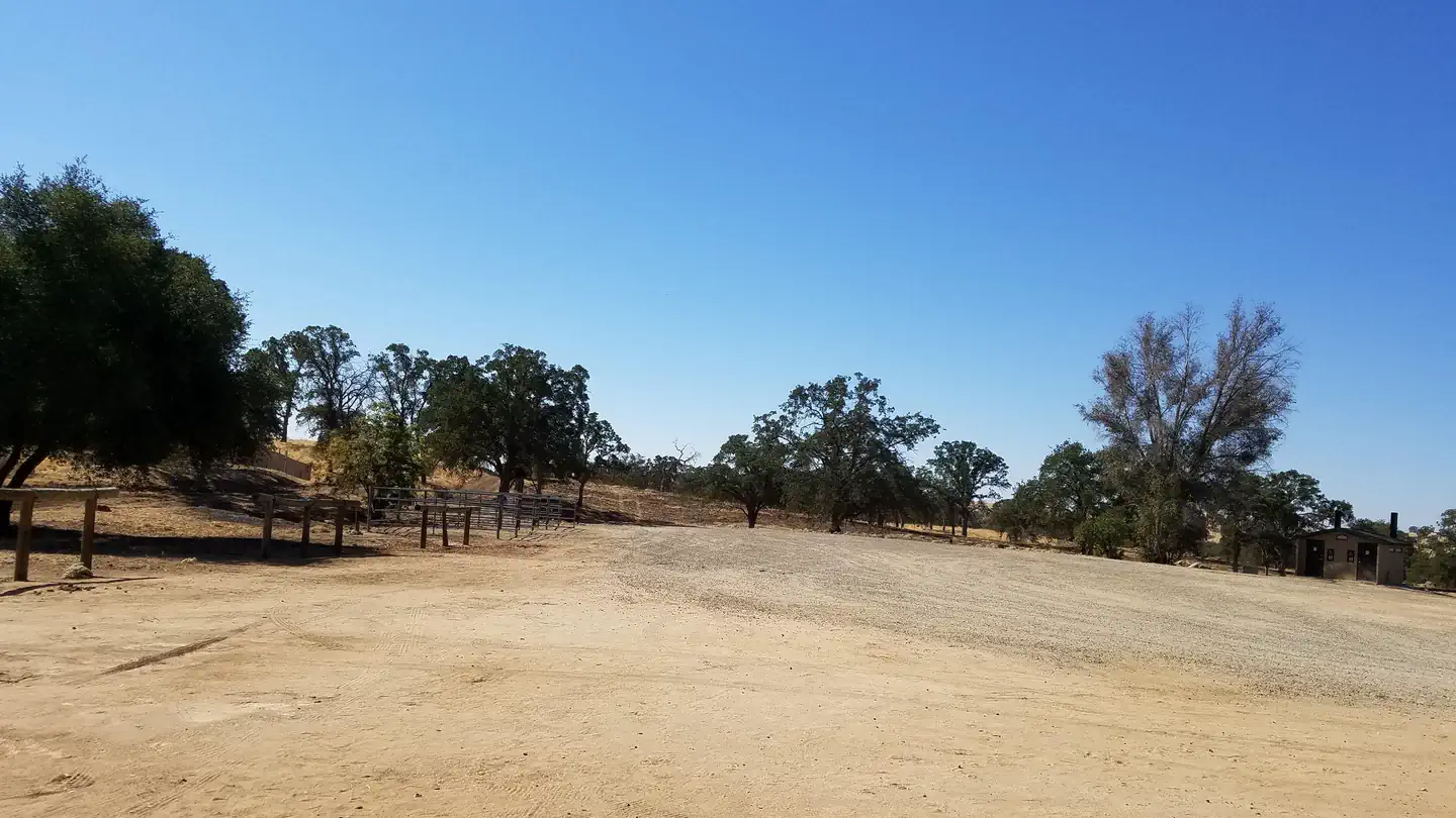 Wildcat Equestrian AreaCampground · 1 sites
Overview Wildcat Equestrian Area at Buchanan Dam, H.V. Eastman Lake is a perfect launchpad for activities like horseback riding, birding and hiking.
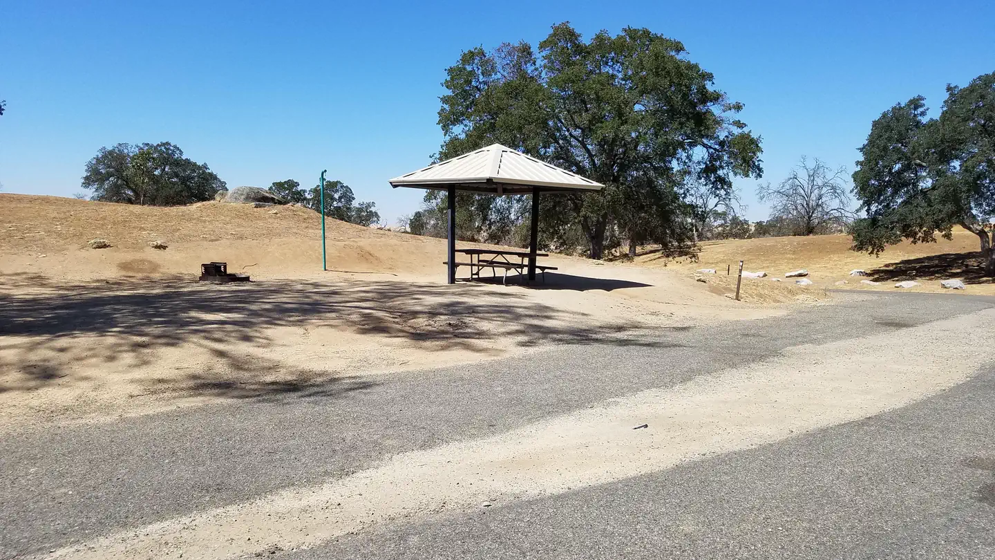 Wildcat Recreation Area CampgroundCampground · 19 sites
Overview Wildcat Recreation Area Campground on Eastman Lake is a perfect launchpad for activities like canoeing, birding and hiking.
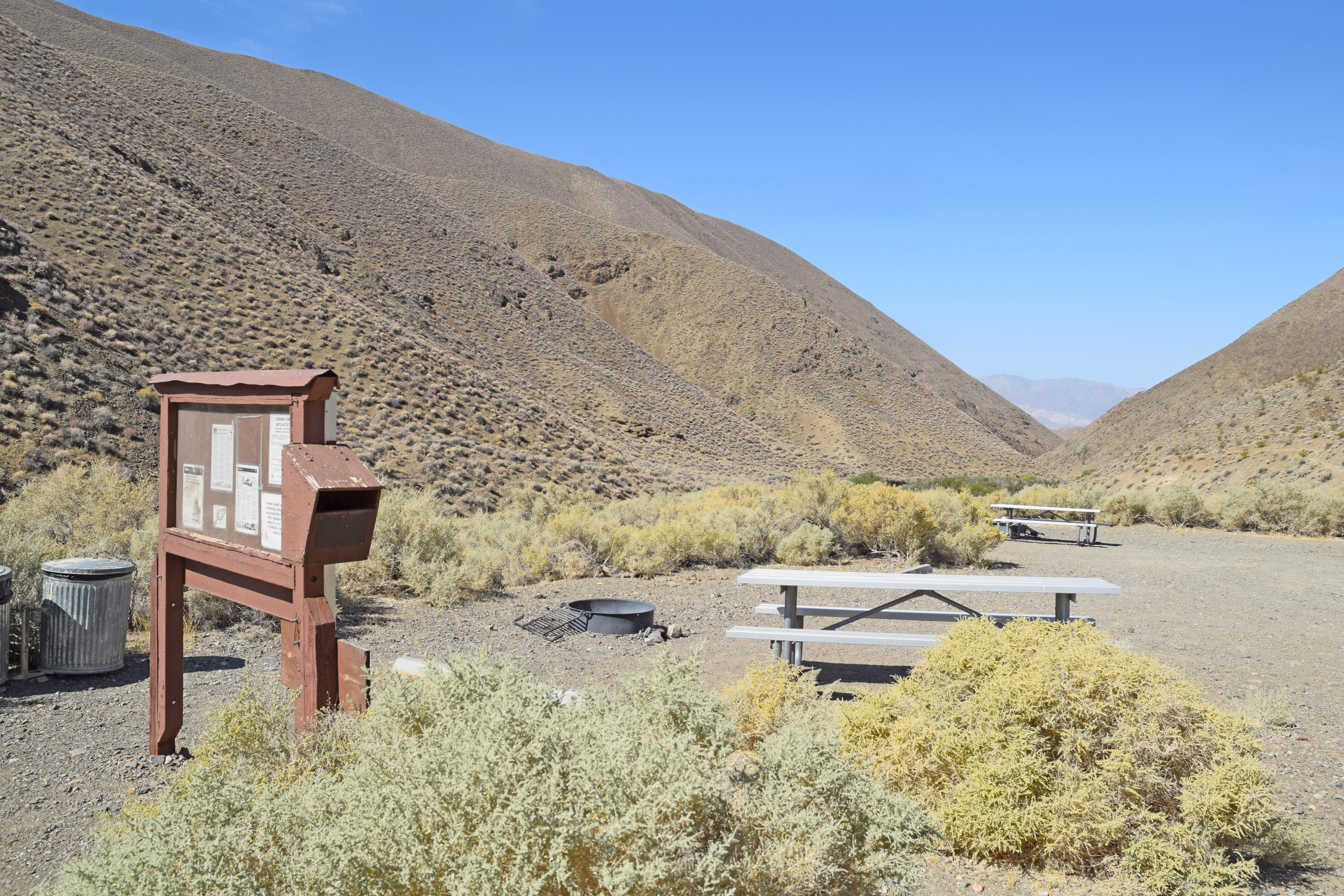 Wildrose CampgroundFacility · not watchable
***No Potable Water Available in the Wildrose Area. Closest available water ~31 miles north at Stovepipe Wells, CA.
- Wiley's Well CampgroundCampground · not watchable
Located in the lower Colorado Desert in eastern Riverside County, Wiley's Well campground is located adjacent to a desert riparian wash populated by palo…
 William Kent CampgroundCampground · 81 sites
Overview William Kent Campground is conveniently located on Lake Tahoe's west shore, a few miles south of Tahoe City.
- William Penn Mott, Jr. Presidio Visitor CenterVisitor Center · not watchable
The visitor center is the go-to place to find out what is happening and what there is to do in the Presidio.
- Willow Bypass OHV Road 3N34XFacility · not watchable
The Willow Bypass runs from the Pinnacles OHV Staging area east for 1.3 miles over a challenging ridge to rejoin the Crab Flats OHV Road 3N34.
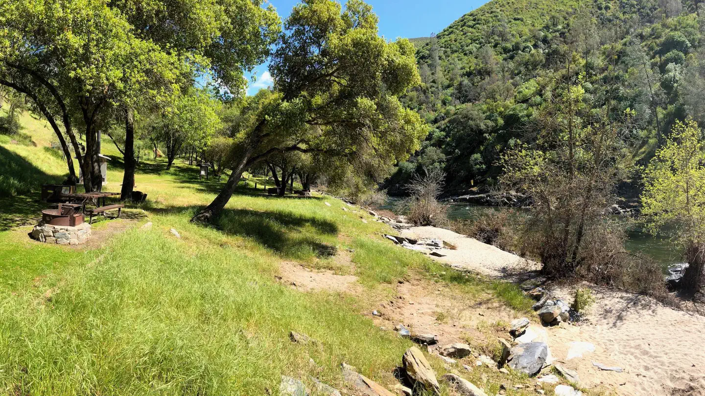 Willow Placer CampgroundCampground · 9 sites
Overview Merced River Recreation Management Area Overview The Merced River Recreation Area is a special place just downstream from Yosemite.
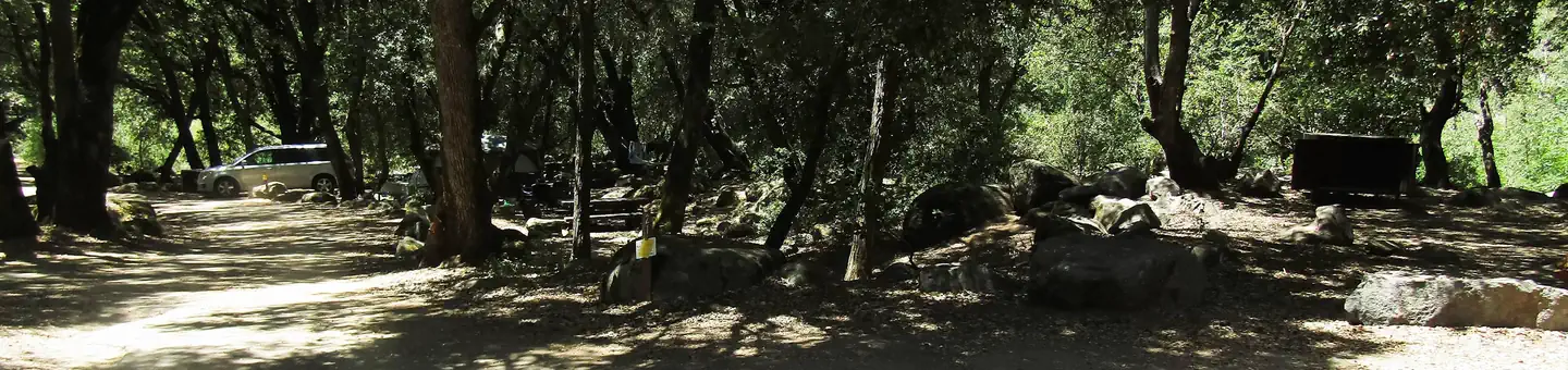 WishonCampground · 33 sites
Overview Wishon Campground straddles two forks of the Tule River in the Sequoia National Forest, sitting at an elevation of 4,000 feet.
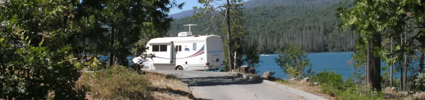 Wishon Bass LakeCampground · 47 sites
Overview Wishon Campground is located across the street from Bass Lake. The camp is shady, due to dense stands of manzanita, oak, cedar and pine, and thick…
 Wishon CabinCampground · 1 sites
Overview Wishon Cabin sits amid oaks and pines in the Southern Sierra Nevada Mountains in the Sequoia National Forest.
 Wolf Creek CaliforniaCampground · 44 sites
Overview Wolf Creek Campground is a modern facility on the north shore of Union Valley Reservoir.
 Wolverton Stock CampsitesCampground · 2 sites
Overview Wolverton Stock campsites are centrally located in Sequoia and Kings Canyon National Parks in central California's rugged Sierra Nevada range. You are…
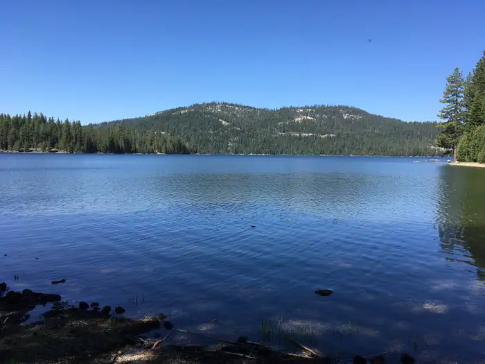 Woodcamp CampgroundCampground · 20 sites
Overview Woodcamp Campground is located on the scenic Jackson Meadow Reservoir, in the Tahoe National Forest.
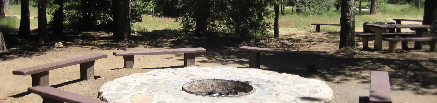 Wooded Hill GroupCampground · 1 sites
Overview Wooded Hill Group Campground is a great mountain getaway for groups of up to 110 people to take a retreat from the city.
- Woods Lake CampgroundCampground · not watchable
Recreation Opportunity Guides (ROG) - These guides contains information, maps, and directions to assist you in enjoying your trip to the Eldorado National…
- Woodward OHV Staging AreaFacility · not watchable
Woodward is an undeveloped staging area with in facilities and located ¼ mile south of Montecito Sequoia Resort on the General’s Highway.
- Woodward Winter TrailheadFacility · not watchable
Woodward is an undeveloped staging area with no facilities and located 1/4 mile south of Montecito Sequoia Resort and General's Highway.
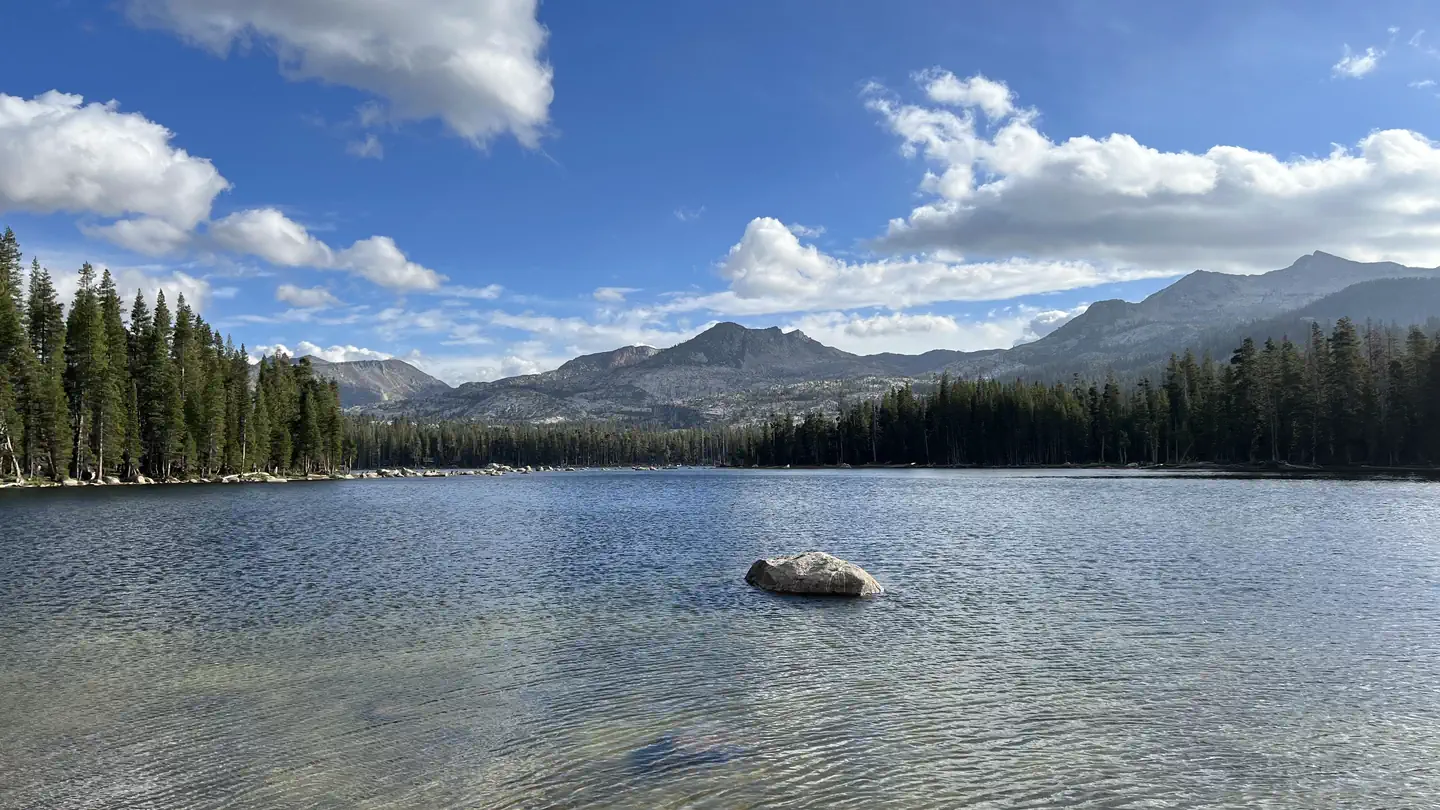 Wrights LakeCampground · 65 sites
Overview Wrights Lake Campground is situated in the timber belt, close to the lake shore, looking up at the majestic rocky peaks of the Sierra Nevadas and…
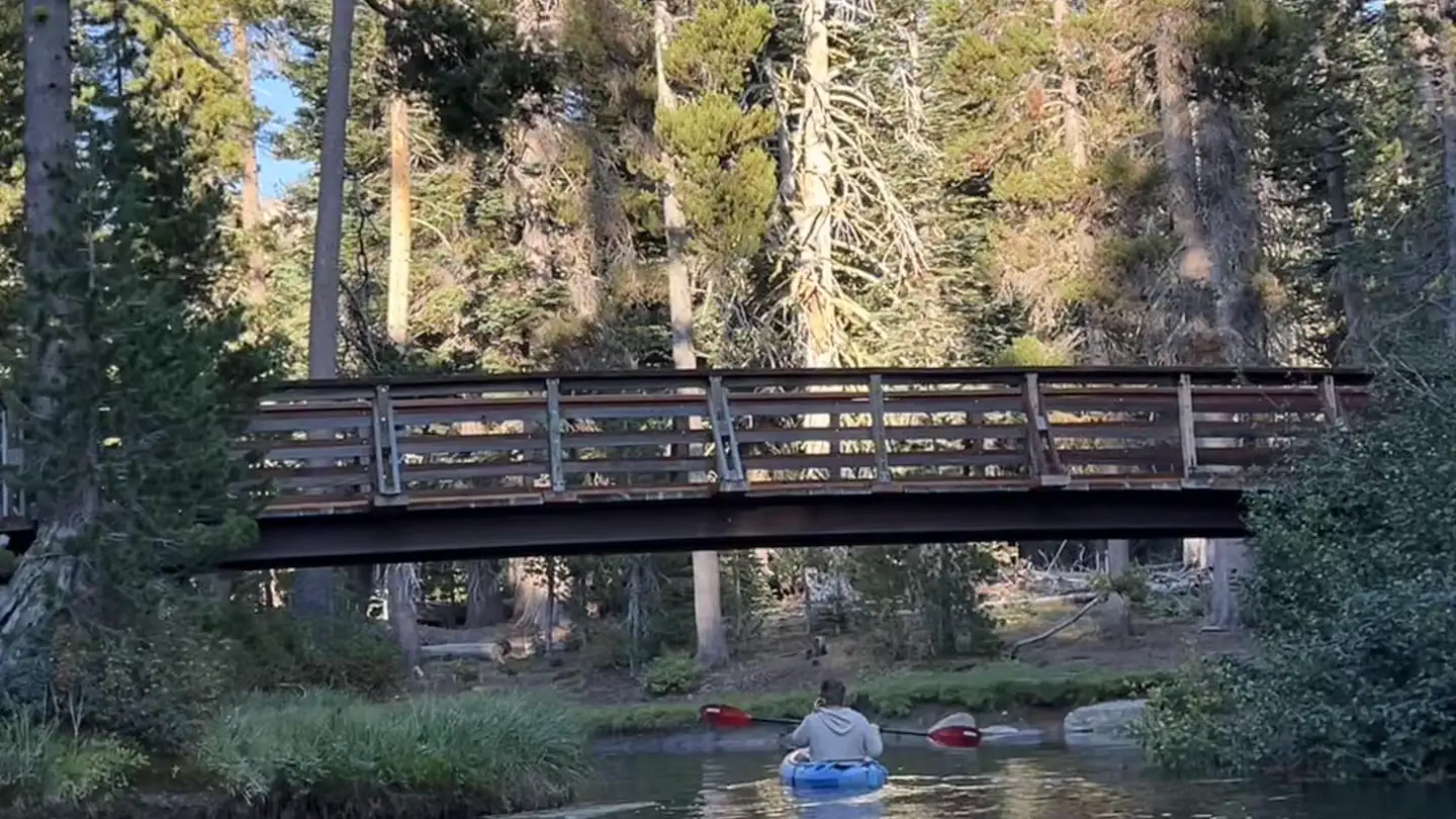 Wrights Lake Equestrian CampgroundCampground · 15 sites
Overview The Wrights Lake Equestrian Campground is available to visitors travelling with equestrian or packstock animals.
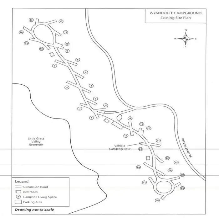 Wyandotte a CampgroundCampground · 28 sites
Overview Wyandotte Campground is located within 5 miles of the town of La Porte, CA on the Feather River Ranger District.
- Ya-Gub-Weh-tuh CampgroundCampground · not watchable
Overview Gorgeous views of the Table Mountains surround this campsite and trailhead.
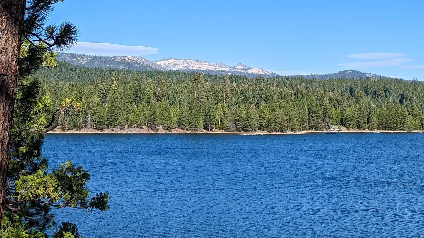 YellowjacketCampground · 36 sites
Overview Yellowjacket Campground provides plenty of opportunities for outdoor fun on Union Valley Reservoir.
- Yolla Bolla AreaFacility · not watchable
The SFMU is based in Hayfork and contains the Hayfork and Yolla Bolla Ranger Districts. The SFMU encompasses over 590,000 acres.
- Yolla Bolly-Middle Eel WildernessFacility · not watchable
In the Wintun Indian language, "Yo-la" means "snow covered", and "Bo-li" means "high peak." The second part of this Wilderness' name refers to the headwaters…
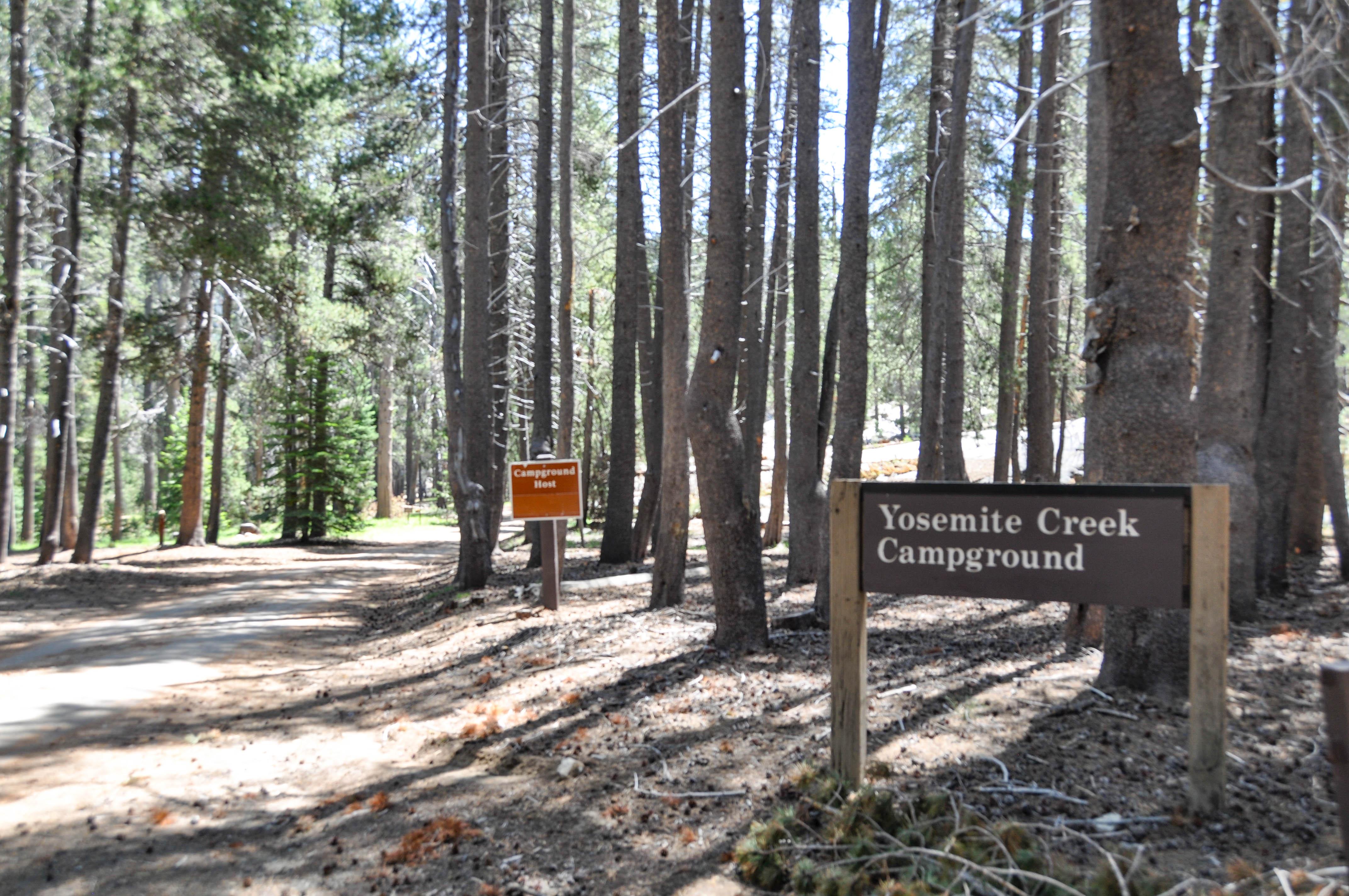 Yosemite Creek CampgroundCampground · 74 sites
Overview Tucked away among the pines is the hidden gem of Yosemite Creek campground.
 Yosemite National Park Ticketed EntryTimed entry
First protected in 1864, Yosemite National Park is not just a great valley, but a shrine to human foresight, the strength of granite, the power of glaciers,…
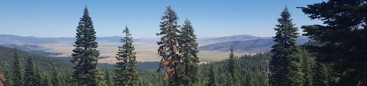 Yuba Pass CampgroundCampground · 20 sites
Overview Yuba Pass Campground is located in the North Yuba River area, atop Yuba Pass on Highway 49.
- Yucca Point TrailheadFacility · not watchable
The vistas of the Middle Fork and South Fork of the Kings River lies at the bottom of the Sierra's deepest canyon, which is accessible by the Yucca Point…
Facility information and photographs from Recreation.gov (RIDB). SpotOpened is not affiliated with Recreation.gov or any federal agency.