Dimond O
Campground · California · 26 bookable sites ·
Managed by the USDA Forest Service
Stanislaus National Forest (NF) · Open Access
- 26
- Bookable sites
- 48 ft
- Max rig length
- up to 12
- People per site
- 4,706 ft
- Elevation
Overview
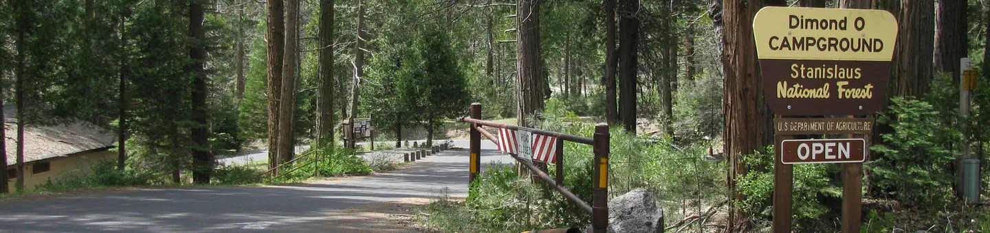
Dimond O is ideally located closest to Yosemite National Park's Big Oak Flat entrance and Hetch Hetchy. It's nestled near the banks of the scenic Middle Fork Toulumne River, where warm summer days can be spent wading and fly fishing in the refreshing waters.Recreation
Nearby trails include the Carlon Falls Trail near the Carlon Day Use Area, and Yosemite National Park trails accessible from Hetch Hetchy.The Middle Fork Toulumne River is a popular spot for swimming, wading and rainbow trout fishing.
Facilities
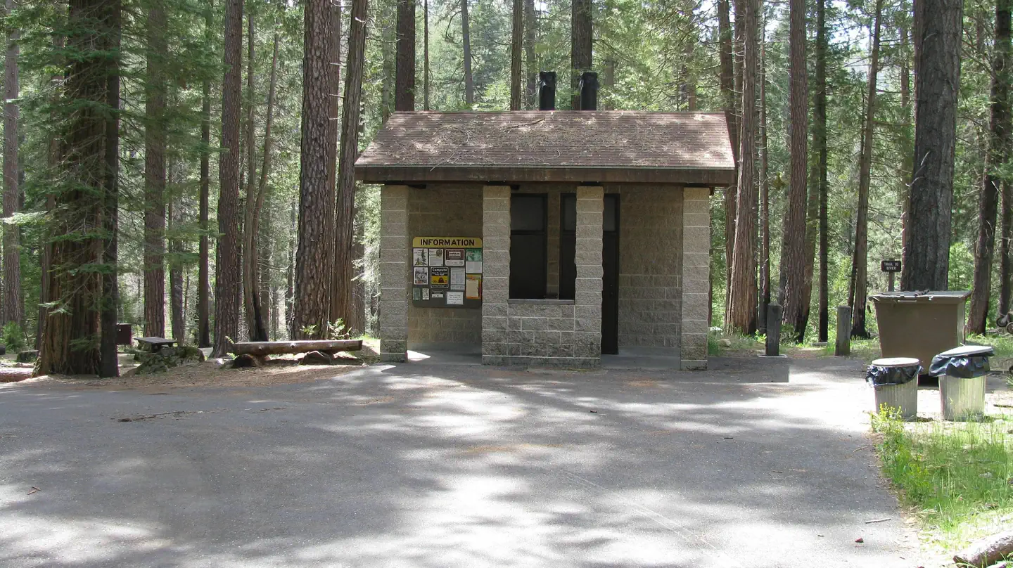
The campground offers single and double-family sites, many of which are accessible. Picnic tables and campfire rings are provided, as are accessible vault toilets and drinking water. Roads and parking spurs are paved. Firewood is available for a fee.Natural Features
Some sites overlook the river and others are tucked among cedar and ponderosa pine trees. The Tuolumne River runs for about 150 miles from the central Sierra Nevada to the San Joaquin River.Contact Info
For facility specific information, please call (801) 226-3564.Nearby Attractions
Take a scenic drive through Yosemite to explore its legendary landscapes.The facts
- 26 bookable sites
- Vehicles up to 48 ft
- Up to 12 people per site
- Loops: Lower, River
Site types
- 22 Standard Nonelectric
- 4 Tent Only Nonelectric
Amenities
- Campfires allowed
- Fire pits
- Picnic tables
- Shade
- Pets allowed
Not recorded upstream: electric hookups, water hookups, sewer hookups, grills.
26 campsites at Dimond O
| Site | Loop | Type | Entry | Surface | Water | Max rig | People | |
|---|---|---|---|---|---|---|---|---|
| 005 | Lower | Tent Only Nonelectric | Back In | Paved | Riverfront | — | 6 | 🐾 |
| 006 | Lower | Standard Nonelectric | Back In | Paved | Riverfront | 22 ft | 6 | 🐾 |
| 007 | Lower | Standard Nonelectric | Back In | Paved | Riverfront | 36 ft | 6 | 🐾 |
| 008 | Lower | Tent Only Nonelectric | Pull Through | Paved | Riverfront | — | 6 | 🐾 |
| 009 | Lower | Standard Nonelectric | Back In | Paved | Riverfront | 22 ft | 6 | 🐾 |
| 030 | Lower | Standard Nonelectric | Back In | Paved | Riverfront | 40 ft | 6 | 🐾 |
| 031 | Lower | Standard Nonelectric | Back In | Paved | Riverfront | 38 ft | 6 | 🐾 |
| 032 | Lower | Standard Nonelectric | Back In | Paved | Riverfront | 38 ft | 6 | 🐾 |
| 033 | Lower | Standard Nonelectric | Back In | Paved | Riverfront | 40 ft | 6 | 🐾 |
| 038 | Lower | Tent Only Nonelectric | Back In | Paved | Riverfront | — | 6 | 🐾 |
| 34/35 | Lower | Standard Nonelectric | Back In | Paved | Riverfront | 40 ft | 12 | 🐾 |
| 013 | River | Standard Nonelectric | Back In | Paved | Riverfront | 40 ft | 6 | 🐾 |
| 014 | River | Standard Nonelectric | Back In | Paved | Riverfront | 40 ft | 6 | 🐾 |
| 015 | River | Standard Nonelectric | Back In | Paved | Riverfront | 28 ft | 6 | 🐾 |
| 016 | River | Standard Nonelectric | Back In | Paved | Riverfront | 40 ft | 6 | 🐾 |
| 017 | River | Standard Nonelectric | Back In | Paved | Riverfront | 44 ft | 6 | 🐾 |
| 018 | River | Standard Nonelectric | Back In | Paved | Riverfront | 40 ft | 6 | 🐾 |
| 019 | River | Standard Nonelectric | Back In | Paved | Riverfront | 36 ft | 6 | 🐾 |
| 022 | River | Standard Nonelectric | Back In | Paved | Riverfront | 25 ft | 6 | 🐾 |
| 023 | River | Standard Nonelectric | Back In | Paved | Riverfront | 40 ft | 6 | 🐾 |
| 026 | River | Standard Nonelectric | Back In | Paved | Riverfront | 48 ft | 6 | 🐾 |
| 027 | River | Tent Only Nonelectric | Pull Through | Paved | Riverfront | — | 6 | 🐾 |
| 028 | River | Standard Nonelectric | Back In | Paved | Riverfront | 40 ft | 6 | 🐾 |
| 029 | River | Standard Nonelectric | Back In | Paved | Riverfront | 40 ft | 6 | 🐾 |
| 20/21 | River | Standard Nonelectric | Back In | Paved | Riverfront | 36 ft | 12 | 🐾 |
| 24/25 | River | Standard Nonelectric | Back In | Paved | Riverfront | 48 ft | 12 | 🐾 |
Getting there
From the Groveland District Office, head east 15 miles on Highway 120, then turn left on Evergreen Road and travel 4 miles. The campground is located on the left.
37.82500, -119.86111 · 37°49'30.0"N 119°51'40.0"W
Typical weather
| Jan | Feb | Mar | Apr | May | Jun | Jul | Aug | Sep | Oct | Nov | Dec | |
|---|---|---|---|---|---|---|---|---|---|---|---|---|
| High °F | — | — | — | — | — | — | — | — | — | — | — | — |
| Low °F | — | — | — | — | — | — | — | — | — | — | — | — |
| Precip in | 6.4 | 5.9 | 5.2 | 3.4 | 2.1 | 0.6 | 0.3 | 0.1 | 0.4 | 2.2 | 3.3 | 5.5 |
1991–2020 averages from the nearest NOAA station, 4.2 mi away — not measured at the facility itself, and elevation can make a real difference over that distance.
Map
More photos
Member photos
Common questions about Dimond O
- Can you reserve a site at Dimond O?
- Yes, Dimond O is reservable through Recreation.gov.
- How many campsites does Dimond O have?
- 26 sites.
- What is the maximum RV length at Dimond O?
- 48 ft. That is the longest vehicle the sites here are recorded as taking; individual sites may be shorter.
- Are pets allowed at Dimond O?
- Yes, pets are allowed at Dimond O.
- Are campfires allowed at Dimond O?
- Campfires are allowed at Dimond O. Check for a current fire restriction before you go.
Camping near Dimond O
- Hodgdon Meadow Campground 1.8 mi · Campground · we watch it
- Crane Flat Campground 4.3 mi · Campground · we watch it
- Sweetwater (Stanislaus National Forest) 7.9 mi · Campground · we watch it
- Tamarack Flat Campground 8.5 mi · Campground · we watch it
- Carlon Day Use Area 0.8 mi · Facility
- Big Oak Flat Information Station 1.9 mi · Visitor Center
- Middle Fork Day Use Area 2.3 mi · Facility
- Dimond O Campground 2.7 mi · Campground
- Rainbow Pool Day Use Area 8.4 mi · Facility
- Lumsden Bridge Campground 9.4 mi · Campground
- Rim of the World Vista 9.7 mi · Facility
- South Fork Campground 10.1 mi · Campground
Contact
- Phone 209-379-2258
- Email Help.Stanislaus.Groveland@AmericanLL.com
- Book Recreation.gov
Recreation.gov last updated this record on 2026-07-15.
Facility information and photographs from Recreation.gov (RIDB). SpotOpened is not affiliated with Recreation.gov or any federal agency.
Comments