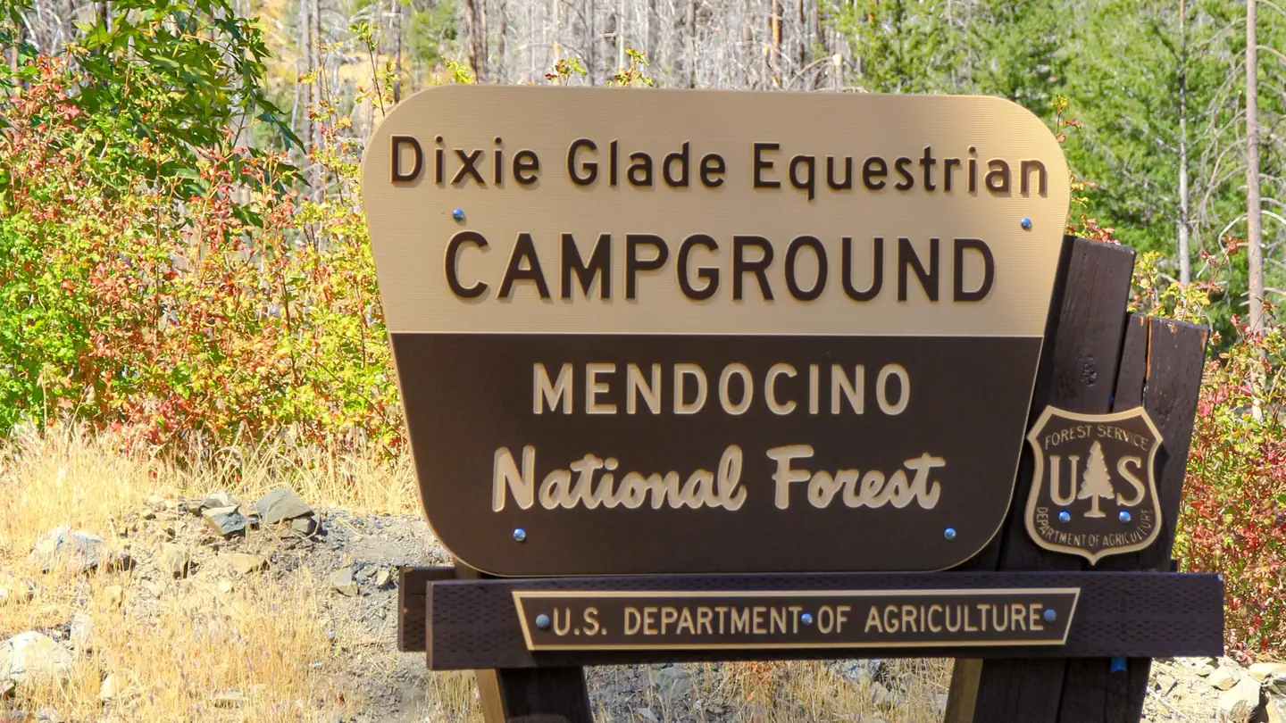
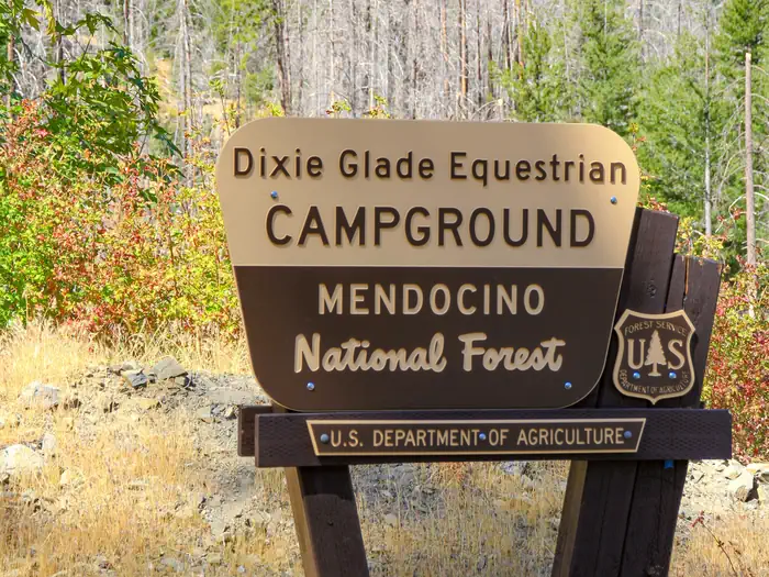
Dixie Glade Campground
Campground · California · 7 bookable sites ·
Managed by the USDA Forest Service
Mendocino National Forest (NF) · Open Access
- 7
- Bookable sites
- 3,020 ft
- Elevation
Overview
This location is available on a first-come, first-served basis only. Visitors are required to physically arrive at the campground to purchase and claim a site.
Once on-site, you are able to pay for your campsite(s) by scanning a QR code using the Recreation.gov mobile app, and the Scan and Pay feature.
In order to utilize Scan & Pay on site, you will need to first download the free Recreation.gov mobile app https://www.recreation.gov/mobile-app prior to your arrival as some remote areas have limited or no cellular service.
Recreation
Whether it be a overnight camping or an extended trail ride by horseback, the Mendocino National Forest will provide you with unique experience. Overnight camping by horseback is a great way to introduce young and old alike to the pleasures of the great outdoors.
Facilities
Small, quiet campground with 7 campsites and 1 day use/picnic site available.
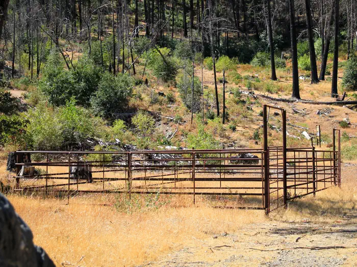
Facilities include tables, stoves, fire rings. Please pack out garbage. No water. Suitable for horse camping. Hitching posts and corrals are on site.
Accommodates up to 30 foot trailers.
Natural Features
Vegetation is chaparral amidst ponderosa pine, douglas fir, and oaks.
Contact Info
For facility specific information, please call (530) 963-3128.Nearby Attractions
A short trail (0.8 mile) connects to the Deafy Glade Trail providing access to the Snow Mountain Wilderness.
The facts
- 7 bookable sites
- 10 sites in total, including non-bookable
- Loops: Dixie Glade, Scan and Pay
Site types
- 7 Standard Nonelectric
- 3 Management
10 campsites at Dixie Glade Campground
Check-in 2:00 PM · Check-out 11:00 AM
| Site | Loop | Type | Entry | Surface | Max rig | People | |
|---|---|---|---|---|---|---|---|
| 1 | Dixie Glade | Standard Nonelectric | — | — | — | — | |
| 2 | Dixie Glade | Standard Nonelectric | — | — | — | — | |
| 3 | Dixie Glade | Standard Nonelectric | — | — | — | — | |
| 4 | Dixie Glade | Standard Nonelectric | — | — | — | — | |
| 5 | Dixie Glade | Standard Nonelectric | — | — | — | — | |
| 6 | Dixie Glade | Standard Nonelectric | — | — | — | — | |
| 7 | Dixie Glade | Standard Nonelectric | — | — | — | — | |
| ScanPay 2 | Scan and Pay | Management | — | — | — | — | |
| ScanPay 3 | Scan and Pay | Management | — | — | — | — | |
| ScanPay 4 | Scan and Pay | Management | — | — | — | — |
Getting there
Located 14 miles west of Stonyford on Fouts Springs Road / M10.
39.33628, -122.70348 · 39°20'10.6"N 122°42'12.5"W
Typical weather
| Jan | Feb | Mar | Apr | May | Jun | Jul | Aug | Sep | Oct | Nov | Dec | |
|---|---|---|---|---|---|---|---|---|---|---|---|---|
| High °F | — | — | — | — | — | — | — | — | — | — | — | — |
| Low °F | — | — | — | — | — | — | — | — | — | — | — | — |
| Precip in | 5.2 | 4.5 | 3.2 | 1.2 | 1.0 | 0.4 | 0.1 | 0.1 | 0.1 | 0.9 | 2.2 | 3.8 |
1991–2020 averages from the nearest NOAA station, 8.8 mi away — not measured at the facility itself, and elevation can make a real difference over that distance.
Map
More photos
Member photos
Common questions about Dixie Glade Campground
- Can you reserve a site at Dixie Glade Campground?
- Yes, Dixie Glade Campground is reservable through Recreation.gov.
- How many campsites does Dixie Glade Campground have?
- 10 sites in total, of which 7 can be booked.
Also listed by
Dixie Glade Campground also appears in other federal recreation data. Facts below are matched by name and location, not confirmed by Dixie Glade Campground's operator.
USDA Forest Service — data as of Aug 24, 2026
- May - September (Memorial Day-Labor Day): $5/night Off-season: $0
Restrictions:
- OHV riding is not allowed in campground.
Camping near Dixie Glade Campground
- Mill Valley Campground 1.2 mi · Campground · we watch it
- Letts Lake Campground 2.3 mi · Campground · we watch it
- Mill Creek - Mendocino National Forest 3 mi · Campground · we watch it
- Gray Pine Group Campground 3 mi · Campground · we watch it
- Fouts 3.2 mi · Campground · we watch it
- South Fork Campground - Mendocino National Forest 3.2 mi · Campground · we watch it
- Davis Flat 3.2 mi · Campground · we watch it
- North Fork - Mendocino National Forest 4.2 mi · Campground · we watch it
- Little Stony 7.6 mi · Campground · we watch it
- Dixie Glade Campground less than 0.1 mi · Campground
- Letts Lake Campground 2.3 mi · Campground
- Cedar Camp Campground 5 mi · Campground
Contact
- Phone N/A
- Book Recreation.gov
Recreation.gov last updated this record on 2026-03-11.
Facility information and photographs from Recreation.gov (RIDB). SpotOpened is not affiliated with Recreation.gov or any federal agency.
Comments