Cronan Ranch Trailhead
Facility · California ·
Managed by the Bureau of Land Management
Mother Lode Field Office (Bureau of Land Management CA) · Open Access
- 898 ft
- Elevation
Remember your OUTDOOR ETHICS when enjoying your public lands. Please RECREATE RESPONSIBLY.
Overview
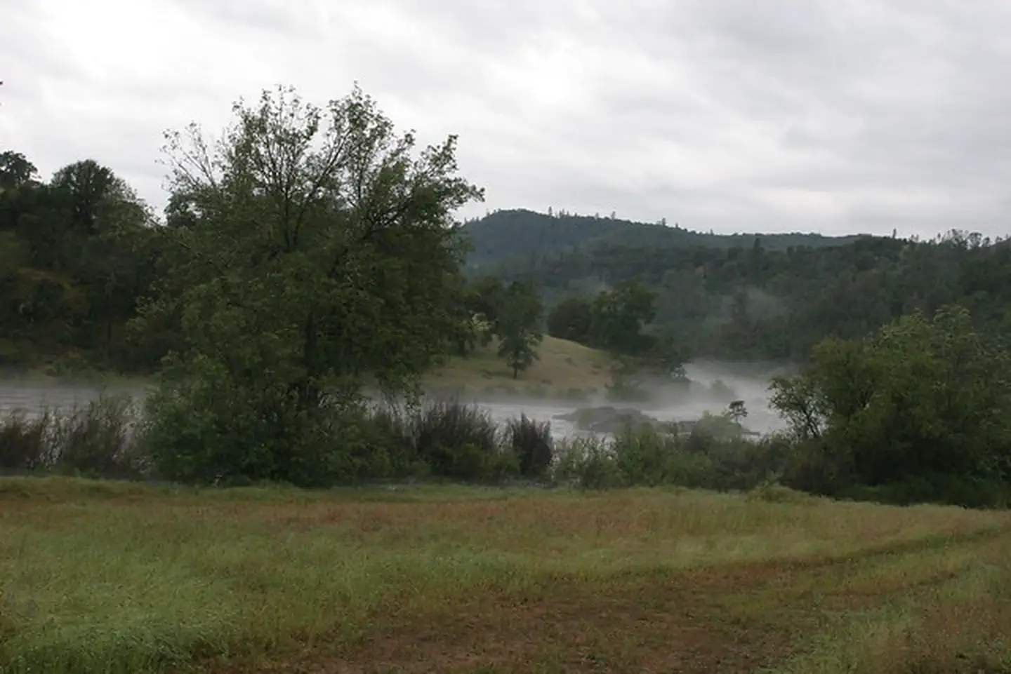
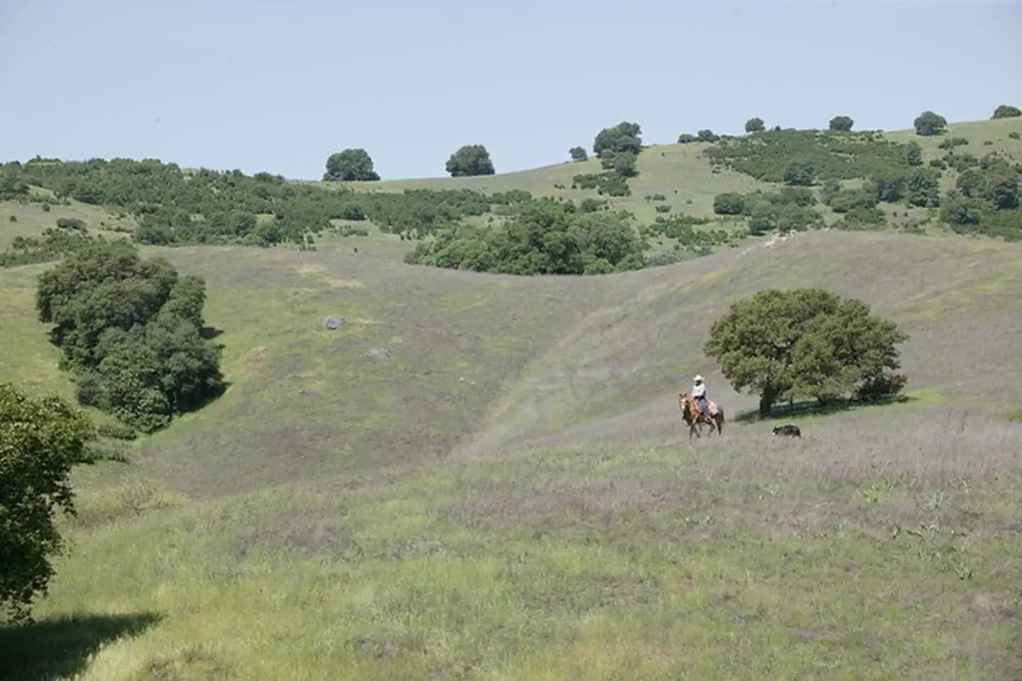
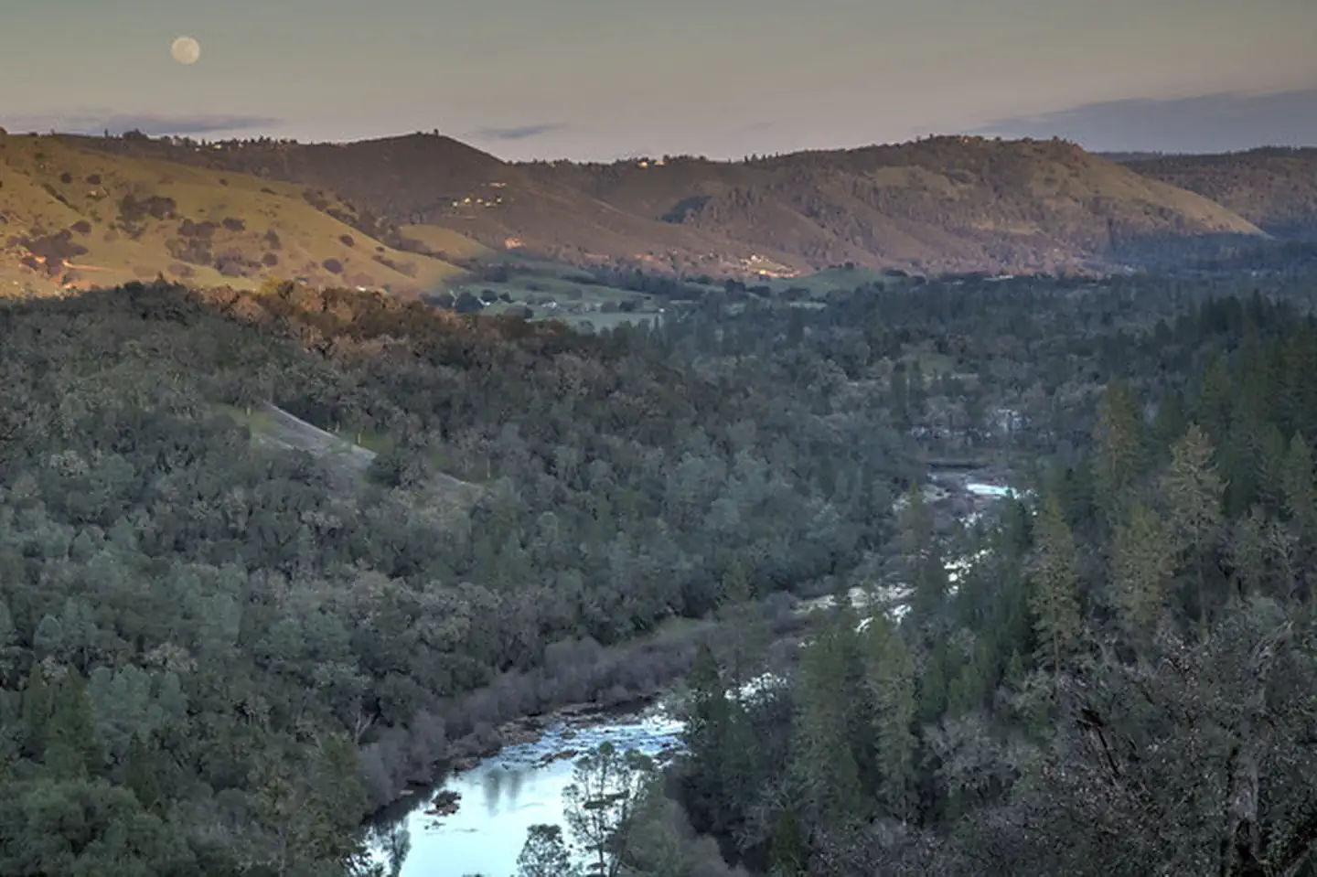
Cronan Ranch Trailhead is located in Pilot Hill, California. The area contains 12 miles of trails for hiking, biking, horseback riding, fishing, bird watching and other passive recreation. There is a wide variety of terrain to choose from, including gently sloped to challenging hills, oak woodland and gentle riverfront trails. Each season offers a diverse experience.
Cronan Ranch connects with the South Fork American River corridor trail that runs from Greenwood Creek to Salmon Falls. For more information, see our South Fork American River webpage.
The land for Cronan Ranch and river trail corridor was purchased by the American River Conservancy, BLM and other partners over a period of 16 years and placed into public trust to be used for recreation and wildlife conservation. The purchase was made possible through generous donations by individuals, private foundations and government agencies, including the Wildlife Conservation Board and the California State Resources Agency.
What you need to know:
- Cronan Ranch is a Day-Use area only. No dispersed camping is permitted.
- Camping is available at a designated site with a valid Special Recreation Permit ONLY.
- Only non-motorized recreational activities such as hiking, mountain biking, horseback riding and other similar passive activities are allowed.
- Portions of this trail system border private property. Please respect the rights of private property owners by staying on designated routes at all times.
- Please be aware that there are mountain lions and rattlesnakes in the area.
- Fireworks are prohibited.
- Fuelwood cutting and collection is prohibited.
- A Special Recreation Use Permit is required for all commercial, organized groups, or competitive activities.
Helpful Links:
Hunting and Shooting Info - Cronan Ranch:
Firearms: The discharge of firearms is prohibited except in the course of licensed, in-season hunting activities. Hunting with rifles is prohibited within the Cronan Ranch Management Area during any season. Hunting weapons limited to bow and arrows, smooth bore shotguns and muzzleloaders. Muzzleloaders allowed only after fire season is declared over.
- No target shooting allowed.
- No hunting for bear, squirrels, rabbits, jackrabbits, waterfowl, furbearers, or non game species.
- Quail and Dove hunting during correct season.
- Deer hunting: Fall season - smooth bore shotgun and slugs only.
- Deer hunting: Summer season - bow & arrows only.
- Turkey hunting: Fall season - bow & arrows, smooth bore shotgun and shot shells only.
- Turkey hunting: No SPRING SEASON turkey hunting.
NOTE: All California game species are regulated by the California Department of Fish and Wildlife (CDFW).Rules, regulations, and seasons are controlled by CDFW, and it is the hunter's responsibility to verify and comply with proper species, seasons, zones, regulations, and legal location if hunting on public lands.
FGC 3004 — It is unlawful for any person to hunt or discharge while hunting, any firearm or other deadly weapon within 150 yards of any occupied dwelling house, residence, or other building or any barn or other outbuilding used in connection therewith. The 150 yard area is a "Safety Zone."
More Helpful Links:
- Where to Shoot
- California Department of Fish & Wildlife
- Hunting, Fishing and Recreational Shooting on Public Lands, BLM California
Other BLM Trailheads:
Return To: BLM, Mother Lode Field Office
Getting there
From the town of Auburn, take CA-49 south for approximately twelve (12) miles. Turn right on Pedro Hill Road.
38.82652, -120.98916 · 38°49'35.5"N 120°59'21.0"W
Typical weather
| Jan | Feb | Mar | Apr | May | Jun | Jul | Aug | Sep | Oct | Nov | Dec | |
|---|---|---|---|---|---|---|---|---|---|---|---|---|
| High °F | — | — | — | — | — | — | — | — | — | — | — | — |
| Low °F | — | — | — | — | — | — | — | — | — | — | — | — |
| Precip in | 5.5 | 5.0 | 4.8 | 2.6 | 1.5 | 0.6 | 0.0 | 0.1 | 0.3 | 1.5 | 3.2 | 5.9 |
1991–2020 averages from the nearest NOAA station, 7.4 mi away — not measured at the facility itself, and elevation can make a real difference over that distance.
Map
Fees and stay limits
No Day Use Fee.
From Recreation.gov, which is not always current. The operator's own page is the authority on what you will be charged.
More photos
Member photos
Common questions about Cronan Ranch Trailhead
- Can you reserve a site at Cronan Ranch Trailhead?
- No. Cronan Ranch Trailhead is not reservable through Recreation.gov, so sites are first-come, first-served or booked elsewhere.
Camping near Cronan Ranch Trailhead
- Dru Barner Campground 14.5 mi · Campground · we watch it
- Ponderosa Cove Campground 21 mi · Campground · we watch it
- Stumpy Meadows 22 mi · Campground · we watch it
- Black Oak 22.3 mi · Campground · we watch it
- Sly Guard Cabin 22.7 mi · Campground · we watch it
- Dave Moore Nature Area 3.8 mi · Facility
- Old Flume Trail Trailhead 9.1 mi · Facility
- Dru Barner Campground 14.5 mi · Campground
- Oxbow Raft Put-in Site 18 mi · Facility
- Ralston Picnic Site 18.5 mi · Facility
- Ponderosa Cove Group Campground 21.5 mi · Campground
- Sugar Pine Boat Ramp 23.5 mi · Facility
Contact
- Phone (916) 941-3101
- Email BLM_CA_Web_ML@blm.gov
- Info Recreation.gov
Recreation.gov last updated this record on 2026-06-28.
Facility information and photographs from Recreation.gov (RIDB). SpotOpened is not affiliated with Recreation.gov or any federal agency.
Comments