Texas Flats
Campground · California · 4 bookable sites ·
Managed by the USDA Forest Service
Sierra National Forest (NF) · Open Access
- 4
- Bookable sites
- 20 ft
- Max rig length
- up to 30
- People per site
- 5,422 ft
- Elevation
Overview
Texas Flats Campground remains closed due to hazard trees.
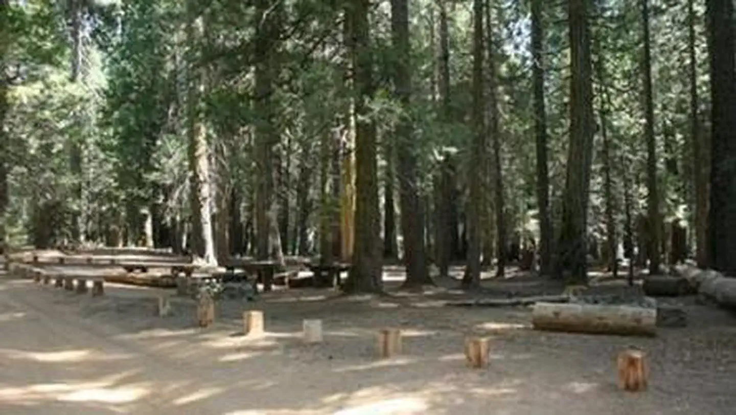
Texas Flats Campground is a horse-friendly group camp situated on the banks of McGilvery Creek. It is split into 4 sections named manzanita, red fir, white fir and cedar.
Recreation
Nearby logging and forest roads can be used as equestrian trails. The Shadow of the Giants, a popular 1-mile hike through a grove of giant sequoias, is just a short drive northwest of the campground.Facilities
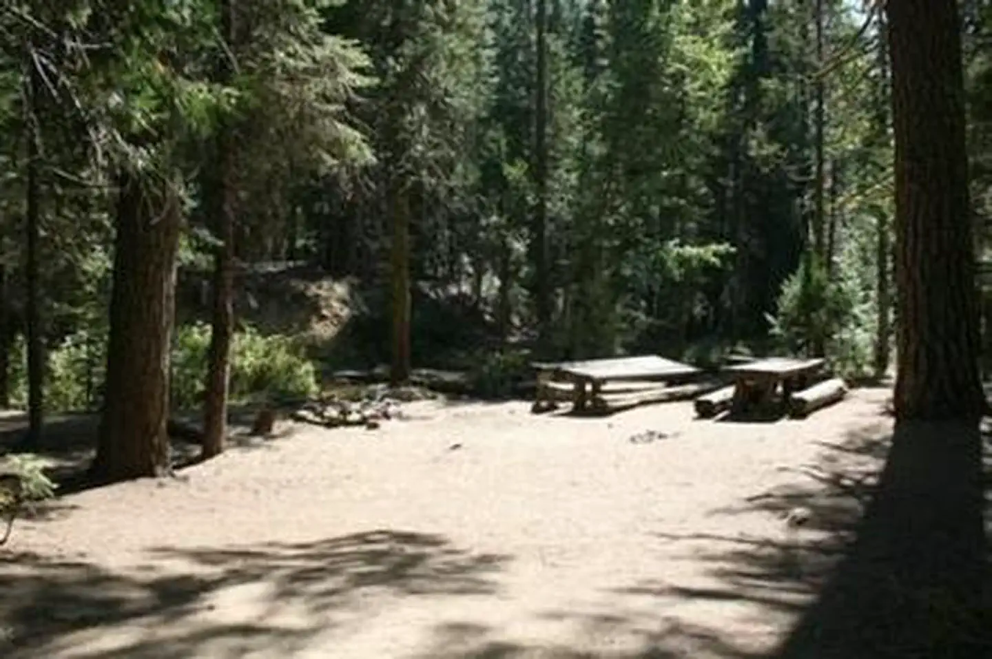
Each campsite can accommodate between 20-30 people and has picnic tables and campfire rings. Vault toilets are provided, but campers need to bring drinking water. This campground does not have facilities or corrals for horses.Natural Features
The Sierra National Forest, located on the western slope of the central Sierra Nevada, is known for its spectacular mountain scenery and abundant natural resources. The terrain includes rolling, oak-covered foothills, heavily forested middle elevation slopes and the starkly beautiful alpine landscape of the High Sierra.Texas Flat Campground is located in the Highway 41 Corridor of the Bass Lake Ranger District. This area is known for the Nelder Grove of giant sequoias.
Nearby Attractions
Yosemite National Park is a popular day trip. Visitors can also take a ride on the historic logging train at Yosemite Mountain Sugar Pine Railroad.The Sierra Vista Scenic Byway (Sky Ranch Road), an 83-mile drive past some of the highlights of Sierra National Forest, runs nearby.
The facts
- Season: May – September — USDA Forest Service, Aug 24, 2026
- 4 bookable sites
- Vehicles up to 20 ft
- Up to 30 people per site
- Loops: CEDAR, MANZANITA, RED FIR, WHITE FIR
Site types
- 4 Group Standard Nonelectric
Amenities
- Campfires allowed
- Fire pits
- Picnic tables
- Shade
Not recorded upstream: electric hookups, water hookups, sewer hookups, grills, pets allowed.
4 campsites at Texas Flats
Check-in 2:00 PM · Check-out 12:00 PM
| Site | Loop | Type | Entry | Surface | Max rig | People | |
|---|---|---|---|---|---|---|---|
| Group 3 - Cedar | CEDAR | Group Standard Nonelectric | Back In | Gravel | 20 ft | 30 | |
| Manzanita | MANZANITA | Group Standard Nonelectric | Back In | Gravel | 20 ft | 20 | |
| Group 1 - Red Fir | RED FIR | Group Standard Nonelectric | Back In | Gravel | 20 ft | 30 | |
| Group 2 - White Fir | WHITE FIR | Group Standard Nonelectric | Back In | Gravel | 20 ft | 25 |
Getting there
Turn right, travel 7 miles, and turn right on FS6S40 towards Soquel Campground.
Travel for 1 mile, turn left on 6S08, cross the bridge and continue left through Greys Mt. Campground.
Travel for 1 mile, turn left on 6S38, and continue for 2 miles to Texas Flat Campground. (Distances approximate).
37.42545, -119.54448 · 37°25'31.6"N 119°32'40.1"W
Typical weather
Typically 80°F in Jul, down to 44°F in Dec.
| Jan | Feb | Mar | Apr | May | Jun | Jul | Aug | Sep | Oct | Nov | Dec | |
|---|---|---|---|---|---|---|---|---|---|---|---|---|
| High °F | 45 | 46 | 50 | 55 | 63 | 73 | 80 | 80 | 75 | 64 | 53 | 44 |
| Low °F | 27 | 27 | 28 | 31 | 37 | 44 | 51 | 49 | 45 | 37 | 30 | 26 |
| Precip in | 7.6 | 6.7 | 5.2 | 3.4 | 1.9 | 0.5 | 0.2 | 0.1 | 0.5 | 2.2 | 3.3 | 5.6 |
1991–2020 averages from the nearest NOAA station, 7.7 mi away — not measured at the facility itself, and elevation can make a real difference over that distance.
Map
More photos
Member photos
Common questions about Texas Flats
- Can you reserve a site at Texas Flats?
- Yes, Texas Flats is reservable through Recreation.gov.
- How many campsites does Texas Flats have?
- 4 sites.
- What is the maximum RV length at Texas Flats?
- 20 ft. That is the longest vehicle the sites here are recorded as taking; individual sites may be shorter.
- Are campfires allowed at Texas Flats?
- Campfires are allowed at Texas Flats. Check for a current fire restriction before you go.
Also listed by
Texas Flats also appears in other federal recreation data. Facts below are matched by name and location, not confirmed by Texas Flats's operator.
USDA Forest Service — data as of Aug 24, 2026
- Manzanita - $84.68 ($94.00)* per night White Fir - $105.41($117.00)* per night Red Fir - $127.03 ($141.00)* per night Cedar - $ 127.03($141.00)* per night *(taxes included)
Restrictions:
- Reservations can be made up to three days prior to your arrival. There is a two night minimum stay on weekends and a three night minimum stay on holidays. Maximum stay = 14 days Maximum vehicle length = 20 foot Maximum group size = 6 per site
Camping near Texas Flats
- Kelty Meadow 1 mi · Campground · we watch it
- Soquel Campground 1.6 mi · Campground · we watch it
- Chilkoot 4 mi · Campground · we watch it
- Summerdale Campground 6.5 mi · Campground · we watch it
- Mariposa Grove Commercial Bus Parking 6.7 mi · Timed entry · we watch it
- Crane Valley 6.8 mi · Campground · we watch it
- Fresno Dome Campground 2.1 mi · Campground
- Nelder Grove Campground 2.1 mi · Campground
- Greys Mountain Campground 2.1 mi · Campground
- Cold Springs Summit Interpretive Site (minor) 3.1 mi · Facility
- Big Sandy Campground 3.6 mi · Campground
- Gaggs Camp Campground 6.1 mi · Campground
Contact
- Phone 559-642-3212
- Email clm@clm-services.com
- Book Recreation.gov
Recreation.gov last updated this record on 2026-03-11.
Facility information and photographs from Recreation.gov (RIDB). SpotOpened is not affiliated with Recreation.gov or any federal agency.
Comments