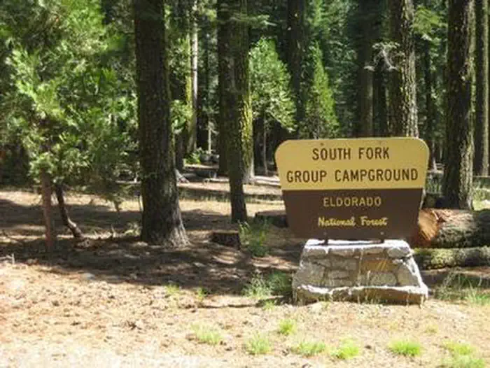
South Fork Group - Eldorado NF (CA)
Campground · California · 1 bookable site ·
Managed by the USDA Forest Service
Eldorado National Forest (NF) · Open Access
- 1
- Bookable site
- 50 ft
- Max rig length
- up to 125
- People per site
- 5,174 ft
- Elevation
Overview
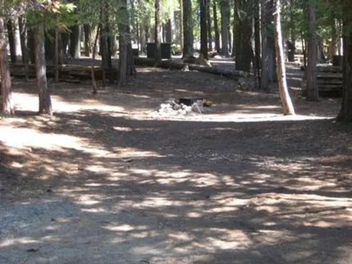
South Fork is the largest group campground in the Crystal Basin Recreation Area, nestled in the vast expanse of the Eldorado National Forest. The remote location affords visitors a true outdoor camping experience.Recreation
With the South Fork of the Rubicon River located within walking distance, the group camp provides excellent fishing, swimming and other water sports and activities.Facilities
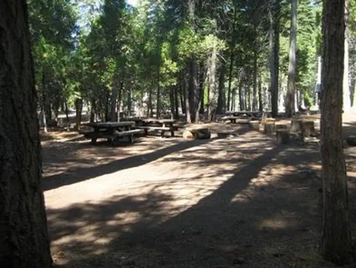
While the campground can be used as a single group site that can accommodate up to 125 guests, it can also be reserved as multiple single-family sites.A group cooking area with food preparation tables and double grills is available, as well as campfire rings with grills at each site. Vault toilets are provided, however, drinking water is not available at the campground. Visitors can boil stream water or fill up at nearby boat ramps. A parking area is also available.
Natural Features
Situated at an elevation of 5,200 feet, the campground sits between the Union Valley Reservoir and Loon Lake.It is also just minutes away from Gerle Creek Reservoir, a serene mountain lake where motorized boating is prohibited in order to preserve a peaceful and quiet atmosphere for visitors.
Nearby Attractions
Swimming and non-motorized boating are available at Gerle Creek Reservoir, 5 miles north of the campground.The facts
- 1 bookable site
- Vehicles up to 50 ft
- Up to 125 people per site
- Loops: AREA SOUTH FORK GROUP
Site types
- 1 Group Standard Area Nonelectric
Amenities
- Shade
Not recorded upstream: electric hookups, water hookups, sewer hookups, campfires allowed, fire pits, picnic tables, grills, pets allowed.
1 campsite at South Fork Group - Eldorado NF (CA)
Check-in 2:00 PM · Check-out 1:00 PM
| Site | Loop | Type | Entry | Surface | Max rig | People | |
|---|---|---|---|---|---|---|---|
| 001 | AREA SOUTH FORK GROUP | Group Standard Area Nonelectric | Back In | Gravel | 50 ft | 125 |
Getting there
Travel 21 miles east from Placerville on Highway 50 and turn left on the Ice House Road. Go 25 miles north and turn left on South Fork Road. The campground is a mile from the turn-off, on the right side of the road.
38.94833, -120.40213 · 38°56'54.0"N 120°24'7.7"W
Typical weather
Typically 90°F in Jul, down to 43°F in Dec.
| Jan | Feb | Mar | Apr | May | Jun | Jul | Aug | Sep | Oct | Nov | Dec | |
|---|---|---|---|---|---|---|---|---|---|---|---|---|
| High °F | 44 | 50 | 56 | 63 | 72 | 82 | 90 | 89 | 83 | 66 | 51 | 43 |
| Low °F | 32 | 31 | 33 | 36 | 42 | 47 | 53 | 53 | 49 | 41 | 35 | 31 |
| Precip in | 9.6 | 8.8 | 8.8 | 4.9 | 3.2 | 0.9 | 0.0 | 0.1 | 0.6 | 2.9 | 5.3 | 9.4 |
1991–2020 averages from the nearest NOAA station, 14.2 mi away — not measured at the facility itself, and elevation can make a real difference over that distance.
Map
More photos
Member photos
Common questions about South Fork Group - Eldorado NF (CA)
- Can you reserve a site at South Fork Group - Eldorado NF (CA)?
- Yes, South Fork Group - Eldorado NF (CA) is reservable through Recreation.gov.
- How many campsites does South Fork Group - Eldorado NF (CA) have?
- 1 site.
- What is the maximum RV length at South Fork Group - Eldorado NF (CA)?
- 50 ft. That is the longest vehicle the sites here are recorded as taking; individual sites may be shorter.
Camping near South Fork Group - Eldorado NF (CA)
- Robbs Hut 1.7 mi · Campground · we watch it
- Gerle Creek 1.9 mi · Campground · we watch it
- Yellowjacket 4 mi · Campground · we watch it
- Wench Creek 4.2 mi · Campground · we watch it
- Van Vleck Bunkhouse 4.4 mi · Campground · we watch it
- Wolf Creek California 4.5 mi · Campground · we watch it
- Loon Lake 4.6 mi · Campground · we watch it
- Loon Lake Chalet 4.9 mi · Campground · we watch it
- South Fork Group Campground 0.1 mi · Campground
- Airport Flat Campground 2.8 mi · Campground
- Van Vleck Bunkhouse 4.4 mi · Campground
- Azalea Cove Campground 4.9 mi · Campground
Contact
- Phone 530-644-2324
- Book Recreation.gov
Recreation.gov last updated this record on 2026-02-25.
Facility information and photographs from Recreation.gov (RIDB). SpotOpened is not affiliated with Recreation.gov or any federal agency.
Comments