McGee Creek
Campground · California · 28 bookable sites ·
Managed by the USDA Forest Service
Inyo National Forest (NF) · Open Access
- 28
- Bookable sites
- 35 ft
- Max rig length
- up to 6
- People per site
- 7,545 ft
- Elevation
Overview
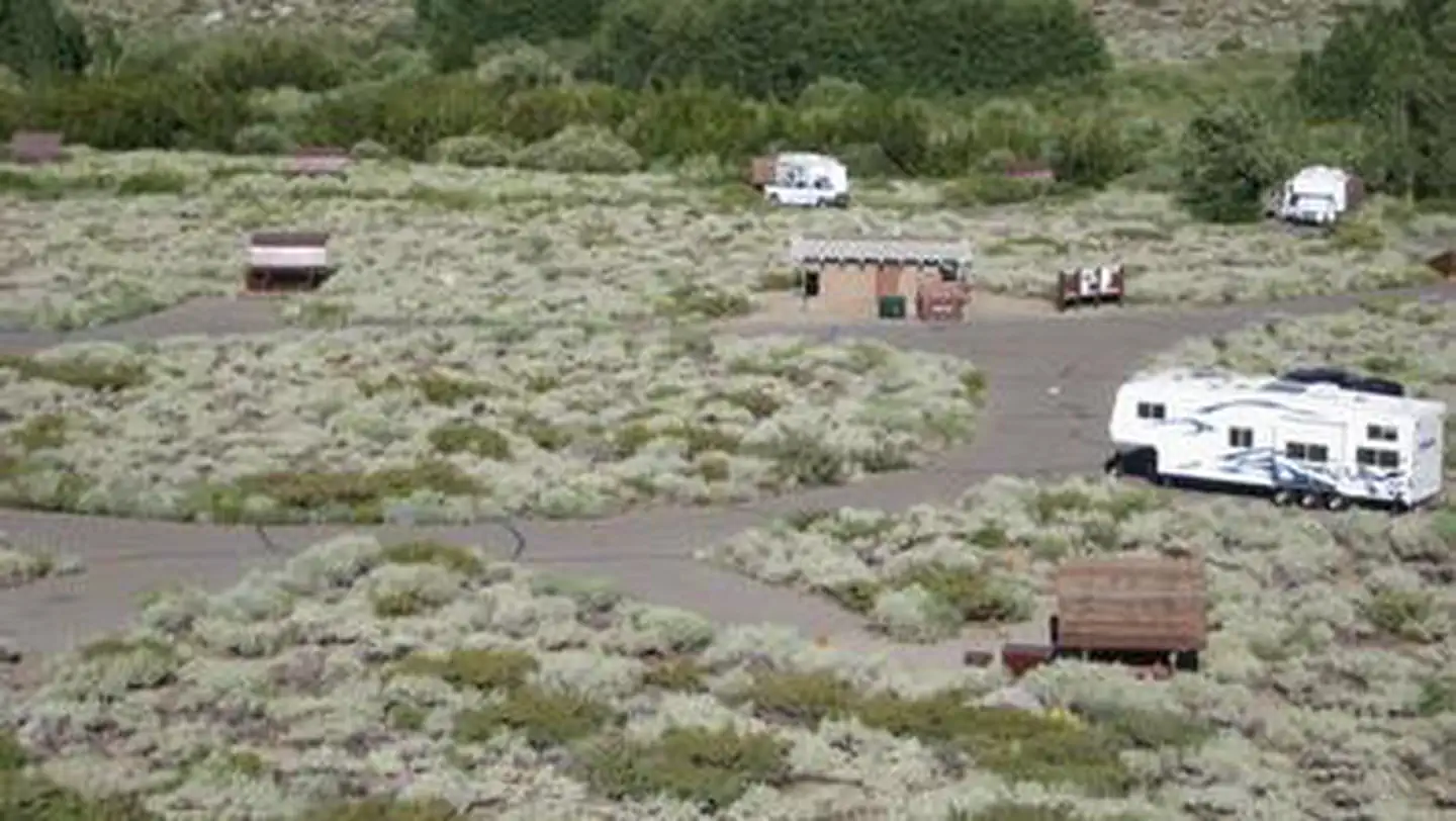
McGee Campground provides a pleasant, sunny location for family camping between Bishop and Mammoth Lakes in the eastern Sierra Nevada Mountains.The campground's proximity to U.S. Highway 395 and the adjacent John Muir Wilderness make it a hot spot for hiking, rock climbing, fishing, wildlife viewing, horseback riding, hunting, photography and geology study.
Recreation
Majestic scenery and challenging trails draw in hikers, mountain bikers and equestrian enthusiasts. The McGee Creek Trailhead, a popular trail for hiking and horseback riding into the McGee Canyon area of the John Muir Wilderness, lies just two miles from the campground.The eastern Sierras are known for exceptional trout fishing. McGee Creek and nearby Crowley Lake have some of the best fishing in the area.
The area's interesting geology also makes it popular for rock hounding.
Facilities
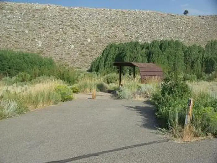
McGee offers about 28 reservable, open and sunny campsites. Each site has a picnic shelter. Roads and camping spurs are paved.Bear-proof lockers are provided for food storage and firewood is for sale on-site.
Natural Features
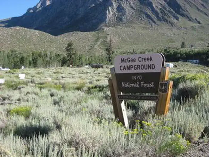
The campground is situated in an expanse of silvery white sagebrush and near a meadow lined with aspens. It sits at an elevation of 7,600 feet and offers outstanding views of high mountain peaks in the John Muir Wilderness. McGee Creek runs alongside it, with some sites sitting along the banks of the water.Nearby Attractions
For campers interested in local events, Mule Days are held in Bishop over Memorial Day weekend, and the Mammoth Jazz Jubilee is hosted in Mammoth in mid-July.Visitors can explore the magnificent John Muir Wilderness, which stretches for 100 miles along the crest of the Sierra Nevada Mountains. It is a land of lofty snow-capped mountains, deep canyons and vast expanses of glacially-carved terrain, and offers extensive hiking, mountain biking and horseback riding trails.
The facts
- 28 bookable sites
- Vehicles up to 35 ft
- Up to 6 people per site
- Loops: MCGE
Site types
- 28 Standard Nonelectric
Amenities
- Campfires allowed
- Pets allowed
Not recorded upstream: electric hookups, water hookups, sewer hookups, fire pits, picnic tables, grills, shade.
28 campsites at McGee Creek
Check-in 2:00 PM · Check-out 11:00 AM
| Site | Loop | Type | Entry | Surface | Max rig | People | |
|---|---|---|---|---|---|---|---|
| 001 | MCGE | Standard Nonelectric | Back In | Paved | 22 ft | 6 | 🐾 |
| 002 | MCGE | Standard Nonelectric | Back In | Paved | 22 ft | 6 | 🐾 |
| 003 | MCGE | Standard Nonelectric | Back In | Paved | 22 ft | 6 | 🐾 |
| 004 | MCGE | Standard Nonelectric | Back In | Paved | 20 ft | 6 | 🐾 |
| 005 | MCGE | Standard Nonelectric | Back In | Paved | 24 ft | 6 | 🐾 |
| 006 | MCGE | Standard Nonelectric | Back In | Paved | 20 ft | 6 | 🐾 |
| 007 | MCGE | Standard Nonelectric | Back In | Paved | 20 ft | 6 | 🐾 |
| 008 | MCGE | Standard Nonelectric | Back In | Paved | 21 ft | 6 | 🐾 |
| 009 | MCGE | Standard Nonelectric | Back In | Paved | 24 ft | 6 | 🐾 |
| 010 | MCGE | Standard Nonelectric | Back In | Paved | 20 ft | 6 | 🐾 |
| 011 | MCGE | Standard Nonelectric | Back In | Paved | 30 ft | 6 | 🐾 |
| 012 | MCGE | Standard Nonelectric | Back In | Paved | 30 ft | 6 | 🐾 |
| 013 | MCGE | Standard Nonelectric | Back In | Paved | 30 ft | 6 | 🐾 |
| 014 | MCGE | Standard Nonelectric | Back In | Paved | 30 ft | 6 | 🐾 |
| 015 | MCGE | Standard Nonelectric | Back In | Paved | 30 ft | 6 | 🐾 |
| 016 | MCGE | Standard Nonelectric | Pull Through | Gravel | 35 ft | 6 | 🐾 |
| 017 | MCGE | Standard Nonelectric | Back In | Paved | 30 ft | 6 | 🐾 |
| 018 | MCGE | Standard Nonelectric | Back In | Paved | 35 ft | 6 | 🐾 |
| 019 | MCGE | Standard Nonelectric | Back In | Paved | 20 ft | 6 | 🐾 |
| 020 | MCGE | Standard Nonelectric | Back In | Paved | 24 ft | 6 | 🐾 |
| 021 | MCGE | Standard Nonelectric | Back In | Paved | 30 ft | 6 | 🐾 |
| 022 | MCGE | Standard Nonelectric | Back In | Paved | 30 ft | 6 | 🐾 |
| 023 | MCGE | Standard Nonelectric | Back In | Paved | 22 ft | 6 | 🐾 |
| 024 | MCGE | Standard Nonelectric | Back In | Paved | 24 ft | 6 | 🐾 |
| 025 | MCGE | Standard Nonelectric | Back In | Paved | 16 ft | 6 | 🐾 |
| 026 | MCGE | Standard Nonelectric | Back In | Paved | 24 ft | 6 | 🐾 |
| 027 | MCGE | Standard Nonelectric | Back In | Paved | 20 ft | 6 | 🐾 |
| 028 | MCGE | Standard Nonelectric | Back In | Paved | 22 ft | 6 | 🐾 |
Getting there
37.56444, -118.78472 · 37°33'52.0"N 118°47'5.0"W
Typical weather
Typically 78°F in Jul, down to 41°F in Feb.
| Jan | Feb | Mar | Apr | May | Jun | Jul | Aug | Sep | Oct | Nov | Dec | |
|---|---|---|---|---|---|---|---|---|---|---|---|---|
| High °F | 41 | 41 | 46 | 51 | 60 | 70 | 78 | 77 | 71 | 61 | 49 | 41 |
| Low °F | 17 | 18 | 22 | 27 | 35 | 42 | 49 | 47 | 40 | 30 | 23 | 17 |
| Precip in | 4.2 | 3.8 | 3.3 | 1.5 | 1.5 | 0.5 | 0.5 | 0.5 | 0.5 | 1.4 | 2.0 | 4.1 |
1991–2020 averages from the nearest NOAA station, 11.3 mi away — not measured at the facility itself, and elevation can make a real difference over that distance.
Map
More photos
Member photos
Common questions about McGee Creek
- Can you reserve a site at McGee Creek?
- Yes, McGee Creek is reservable through Recreation.gov.
- How many campsites does McGee Creek have?
- 28 sites.
- What is the maximum RV length at McGee Creek?
- 35 ft. That is the longest vehicle the sites here are recorded as taking; individual sites may be shorter.
- Are pets allowed at McGee Creek?
- Yes, pets are allowed at McGee Creek.
- Are campfires allowed at McGee Creek?
- Campfires are allowed at McGee Creek. Check for a current fire restriction before you go.
Also listed by
McGee Creek also appears in other federal recreation data. Facts below are matched by name and location, not confirmed by McGee Creek's operator.
USDA Forest Service — data as of Aug 24, 2026
- $32.00 per night.
Restrictions:
- Dogs on leash only. Maximum stay 14 days. Active bear area. All food must be secured overnight and when not attended, bear boxes are provided and must be used (typical bear box size 48" x 30" x 36"). Always keep a clean camp and do not feed wildlife.
Camping near McGee Creek
- Crowley Lake Campground 1 mi · Campground · we watch it
- Convict Lake Campground 4.3 mi · Campground · we watch it
- Aspen Group (Inyo) 4.9 mi · Campground · we watch it
- French Camp 5.8 mi · Campground · we watch it
- Tuff Campground 6.6 mi · Campground · we watch it
- East Fork Campground – Inyo National Forest (CA) 6.7 mi · Campground · we watch it
- Crowley Lake Campground 1 mi · Campground
- Iris Meadow Campground 5.1 mi · Campground
- Big Meadow Campground 5.3 mi · Campground
- Holiday Campground 5.9 mi · Campground
- Palisade Group Camp 6 mi · Campground
- East Fork Campground 6.1 mi · Campground
Contact
- Phone 760-935-4213
- Book Recreation.gov
Recreation.gov last updated this record on 2026-02-25.
Facility information and photographs from Recreation.gov (RIDB). SpotOpened is not affiliated with Recreation.gov or any federal agency.
Comments