Carrizo Plain National Monument Tours
Tickets · California ·
Managed by the Bureau of Land Management
Carrizo Plain National Monument (BLM_NM) · Open Access
- 1,963 ft
- Elevation
Overview:
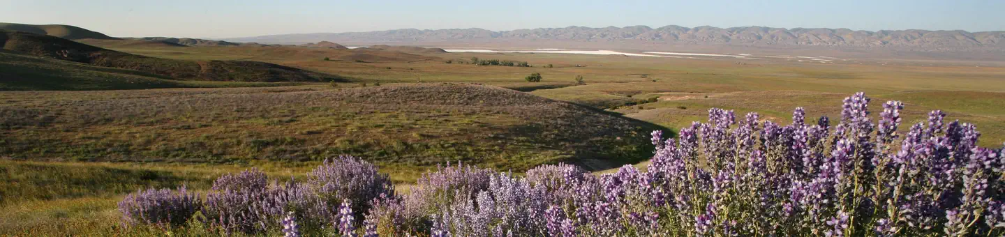
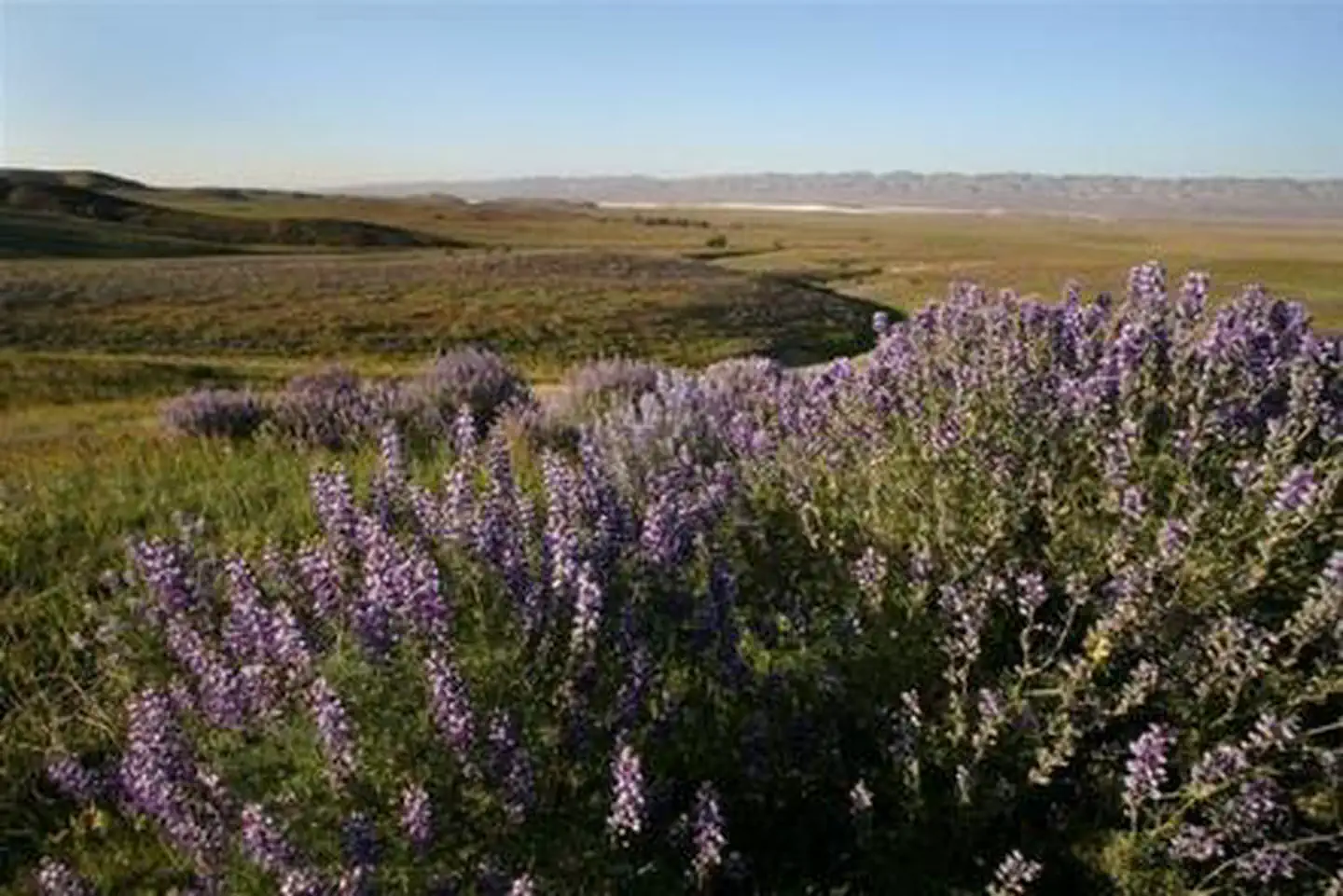
Carrizo Plain National Monument is home to a number of curiously beautiful sights, both natural and man-made. Among those, visitors can expect to see an ancient rock art site, a creek bed disrupted by the San Andreas Fault and a lake filled with a glistening layer of white salt.Adjacent to the southwest edge of the San Joaquin Valley, the Carrizo Plain National Monument is a 250,000-acre oasis as well as a diverse complex of habitats for many endangered, threatened and rare species of plants and animals.
Soda Lake covers an area of about 3,000 acres and is one of the most dominant geographic features of the Carrizo Plain. As a result of evaporating mineral-laden surface water, a crust has formed in the lake, creating a glistening white bed of salt that has become a famous attraction for Carrizo.
The Carrizo Plain is traversed by the San Andreas Fault, providing spectacular topography along the eastern edge. Ridges rise sharply from the plain to form the Panorama and Elkhorn Hills. Temporary pools and salt-encrusted ponds appear along the fault, trapping rainwater to create stunning scenery.
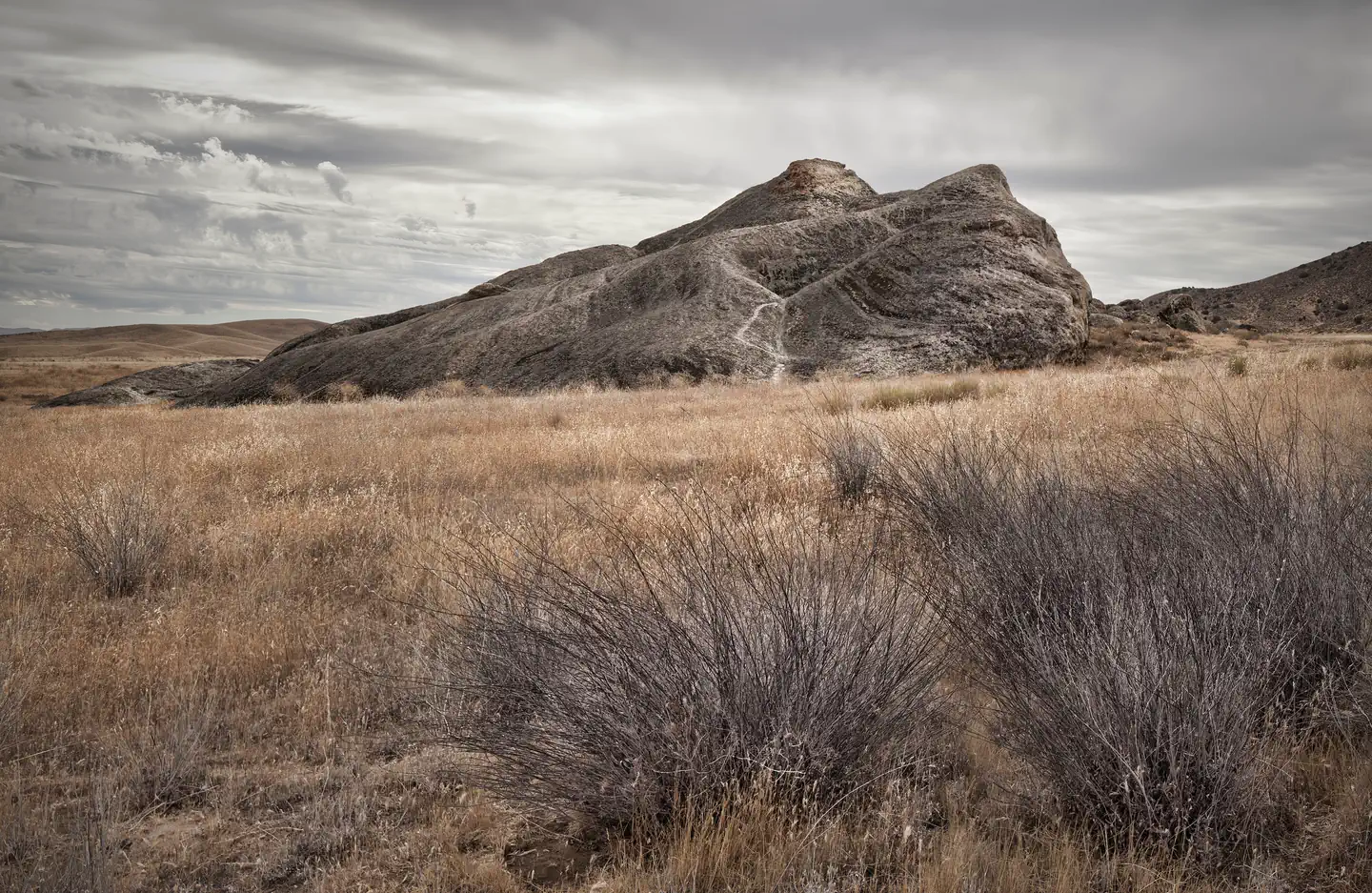
Painted Rock, a large, U-shaped rock outcrop just south of the Goodwin Education Center, features what was once an elaborate, multicolored pictograph site created by the Chumash, a Native American people who historically inhabited the coastal regions of California. Both the interior and exterior sides have paintings, which include geometric images as well as human figures, snakes and aquatic images.
There are numerous seasonal recreational opportunities for visitors, many of them focused on the plain's abundant birds and wildflowers. Aside from the organized tours available, hiking, biking, birding, wildlife viewing and scenic drives are all popular activities for guests.
The San Andreas, Soda Lake, Elkhorn and Seven Mile roads within the monument, all combine to offer a stunning 70-mile scenic loop drive, and the nearby Goodwin Educational Center provides interpretive exhibits and other educational programs.
Getting there
This area is very remote and undeveloped, therefore it is recommended that you do not rely on GPS or other mapping programs to lead you to the park.
Check the Carrizo Plain National Monument website for directions to the monument: www.ca.blm.gov/carrizo
Check the Carrizo Plain National Monument website for directions to the monument: www.ca.blm.gov/carrizo
35.18986, -119.86330 · 35°11'23.5"N 119°51'47.9"W
Typical weather
Typically 95°F in Jul, down to 61°F in Dec.
| Jan | Feb | Mar | Apr | May | Jun | Jul | Aug | Sep | Oct | Nov | Dec | |
|---|---|---|---|---|---|---|---|---|---|---|---|---|
| High °F | 61 | 62 | 66 | 71 | 80 | 88 | 95 | 94 | 89 | 78 | 68 | 61 |
| Low °F | 33 | 34 | 37 | 40 | 45 | 51 | 57 | 56 | 52 | 43 | 36 | 32 |
| Precip in | 1.5 | 1.6 | 1.5 | 0.5 | 0.3 | 0.0 | 0.1 | 0.0 | 0.1 | 0.2 | 0.5 | 1.1 |
1991–2020 averages from the nearest NOAA station, 19.7 mi away — not measured at the facility itself, and elevation can make a real difference over that distance.
Map
More photos
Member photos
Common questions about Carrizo Plain National Monument Tours
- Can you reserve a site at Carrizo Plain National Monument Tours?
- Yes, Carrizo Plain National Monument Tours is reservable through Recreation.gov.
Camping near Carrizo Plain National Monument Tours
- La Panza Campground 25.1 mi · Campground · we watch it
- Selby Campground 4.5 mi · Campground
- KCL Campground 10 mi · Campground
- Gifford Trailhead 13.3 mi · Facility
- Buck Spring Campground 14.9 mi · Campground
- Paradise Campground 16.1 mi · Campground
- Brookshire Campground 16.9 mi · Campground
- Adobe Trailhead 17.5 mi · Facility
- Horseshoe Springs Campground 18.4 mi · Campground
- Santa Lucia Ranger District 21.9 mi · Facility
- American Canyon Seasonal Campground 23.7 mi · Campground
- Colson Campground 24.5 mi · Campground
Contact
- Phone 661-391-6000
- Book Recreation.gov
Recreation.gov last updated this record on 2026-02-25.
Facility information and photographs from Recreation.gov (RIDB). SpotOpened is not affiliated with Recreation.gov or any federal agency.
Comments