Upper Sage Flat
Campground · California · 20 bookable sites ·
Managed by the USDA Forest Service
Tinemaha Roadless Area (Roadlessarea Rule (2001)) · Open Access
- 20
- Bookable sites
- 35 ft
- Max rig length
- up to 6
- People per site
- 7,748 ft
- Elevation
Overview
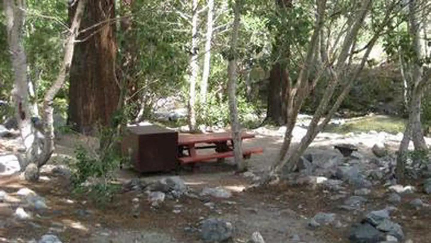
Take the family to Upper Sage for a pleasant camping trip along the banks of Big Pine Creek. Here, visitors can experience the beauty of the creek that runs along the base of a narrow canyon. Visitors can swim or fish, in the creek that is stocked annually with trout, or head to a nearby lake for power boating.Recreation
Rainbow, brown, brook and alpers trout swim in the stream, enticing anglers. Hikers are fans of the Big Pine Creek Trail, a 1.5-mile footpath that provides access to the John Muir Wilderness trails.Facilities
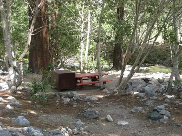
Parking aprons are paved and most are 40 feet long. Amenities include flush toilets, drinking water, picnic tables and campfire rings.Natural Features
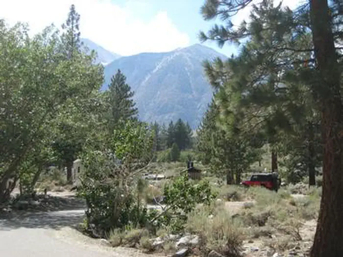
The campground is sprawled out along Big Pine Creek beneath shady Jeffrey pines and cottonwoods, just 9 miles west of the town of Big Pine.Inyo National Forest is home to many natural wonders, including Mt. Whitney, Mono Lake, Mammoth Lakes Basin, and the Ancient Bristlecone Pine Forest atop the White Mountains.
Bristlecone pines rank as the oldest trees in the world and have achieved immense scientific and cultural importance.
Contact Info
For facility specific information, please call (760) 872-4552.Nearby Attractions
Head to the neighboring John Muir Wilderness for incredible views of Palisades Glacier, the southern-most glacier in the country. Nearby Tinemaha Reservoir provides additional fishing opportunities.The facts
- 20 bookable sites
- 21 sites in total, including non-bookable
- Vehicles up to 35 ft
- Up to 6 people per site
- Loops: UPPE, UPPER SAGE FLAT
Site types
- 20 Standard Nonelectric
- 1 Management
Amenities
- Shade
- Pets allowed
Not recorded upstream: electric hookups, water hookups, sewer hookups, campfires allowed, fire pits, picnic tables, grills.
21 campsites at Upper Sage Flat
| Site | Loop | Type | Entry | Surface | Grade | Max rig | People | |
|---|---|---|---|---|---|---|---|---|
| 002 | UPPE | Standard Nonelectric | Back In | Paved | — | 30 ft | 6 | 🐾 |
| 003 | UPPE | Standard Nonelectric | Back In | Paved | — | — | 6 | 🐾 |
| 004 | UPPE | Standard Nonelectric | Back In | Paved | — | 35 ft | 6 | 🐾 |
| 005 | UPPE | Standard Nonelectric | Back In | Paved | — | 30 ft | 6 | 🐾 |
| 006 | UPPE | Standard Nonelectric | Back In | Paved | — | 25 ft | 6 | 🐾 |
| 007 | UPPE | Standard Nonelectric | Back In | Paved | — | 20 ft | 6 | 🐾 |
| 008 | UPPE | Standard Nonelectric | Back In | Paved | Moderate | 30 ft | 6 | 🐾 |
| 009 | UPPE | Standard Nonelectric | Back In | Paved | Moderate | 25 ft | 6 | 🐾 |
| 010 | UPPE | Standard Nonelectric | Back In | Paved | — | 30 ft | 6 | 🐾 |
| 011 | UPPE | Standard Nonelectric | Back In | Paved | — | — | 6 | 🐾 |
| 012 | UPPE | Standard Nonelectric | Back In | Paved | — | 30 ft | 6 | 🐾 |
| 013 | UPPE | Standard Nonelectric | Back In | Paved | — | 15 ft | 6 | 🐾 |
| 014 | UPPE | Standard Nonelectric | Back In | Paved | — | 20 ft | 6 | 🐾 |
| 015 | UPPE | Standard Nonelectric | Back In | Paved | — | 30 ft | 6 | 🐾 |
| 016 | UPPE | Standard Nonelectric | Back In | Paved | — | 30 ft | 6 | 🐾 |
| 017 | UPPE | Standard Nonelectric | Back In | Paved | — | 25 ft | 6 | 🐾 |
| 018 | UPPE | Standard Nonelectric | Back In | Paved | — | 20 ft | 6 | 🐾 |
| 019 | UPPE | Standard Nonelectric | Back In | Paved | — | 30 ft | 6 | 🐾 |
| 020 | UPPE | Standard Nonelectric | Back In | Paved | — | 30 ft | 6 | 🐾 |
| 021 | UPPE | Standard Nonelectric | Back In | Paved | — | 25 ft | 6 | 🐾 |
| 001 | UPPER SAGE FLAT | Management | — | — | — | — | — | 🐾 |
Getting there
In Big Pine, on US Highway 395, turn west at the yellow flashing traffic light onto Crocker Street (Big Canyon Road). Continue on this road for 9 miles to campground, on your left.
37.12583, -118.43389 · 37°7'33.0"N 118°26'2.0"W
Typical weather
| Jan | Feb | Mar | Apr | May | Jun | Jul | Aug | Sep | Oct | Nov | Dec | |
|---|---|---|---|---|---|---|---|---|---|---|---|---|
| High °F | — | — | — | — | — | — | — | — | — | — | — | — |
| Low °F | — | — | — | — | — | — | — | — | — | — | — | — |
| Precip in | 3.5 | 2.9 | 2.5 | 1.5 | 0.9 | 0.4 | 0.5 | 0.4 | 0.4 | 0.8 | 1.5 | 2.5 |
1991–2020 averages from the nearest NOAA station, 8.1 mi away — not measured at the facility itself, and elevation can make a real difference over that distance.
Map
More photos
Member photos
Common questions about Upper Sage Flat
- Can you reserve a site at Upper Sage Flat?
- Yes, Upper Sage Flat is reservable through Recreation.gov.
- How many campsites does Upper Sage Flat have?
- 21 sites in total, of which 20 can be booked.
- What is the maximum RV length at Upper Sage Flat?
- 35 ft. That is the longest vehicle the sites here are recorded as taking; individual sites may be shorter.
- Are pets allowed at Upper Sage Flat?
- Yes, pets are allowed at Upper Sage Flat.
Camping near Upper Sage Flat
- Big Pine Creek Campground 0.1 mi · Campground · we watch it
- Big Pine Canyon 0.7 mi · Campground · we watch it
- Table Mountain (Inyo) 9.3 mi · Campground · we watch it
- Four Jeffrey 10.7 mi · Campground · we watch it
- Forks Campground (Inyo) 12 mi · Campground · we watch it
- Bishop Park Group 12 mi · Campground · we watch it
- Sage Flat Campground 1.2 mi · Campground
- Willow Campground 8.6 mi · Campground
- Mountain Glen Campground 10 mi · Campground
- Four Jeffrey Campground 11.4 mi · Campground
- Sabrina Campground 11.5 mi · Campground
- Intake 2 Campground 11.9 mi · Campground
Contact
- Phone 760-935-4339
- Email AliceA@camprrm.com
- Book Recreation.gov
Recreation.gov last updated this record on 2026-02-25.
Facility information and photographs from Recreation.gov (RIDB). SpotOpened is not affiliated with Recreation.gov or any federal agency.
Comments