Pines Stanislaus
Campground · California · 11 bookable sites ·
Managed by the USDA Forest Service
Stanislaus National Forest (NF) · Open Access
- 11
- Bookable sites
- up to 6
- People per site
- 5
- Accessible sites
- 3,265 ft
- Elevation
Overview
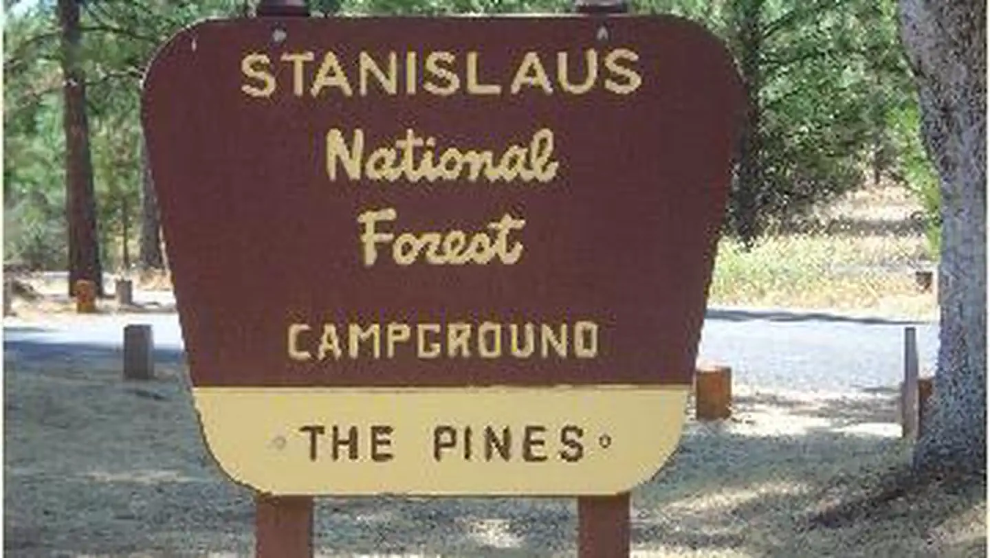
Pines Campground is conveniently located, just 15 miles from the Yosemite National Park boundary in northern California. It is an ideal base camp for visitors to explore not only Yosemite, but also the fantastic wilderness areas within Stanislaus National Forest, including Carson-Iceberg, Emigrant and Mokelumne Wildernesses. Pets are welcome, but must be compliant with Tuolumne County leash laws.
Recreation
Hike the Little Golden Forest Trail, a half-mile interpretive loop with the option for a longer two-mile loop. A short drive takes visitors to the Tuolumne River for wading and fishing. Winter sports are very popular in the area as well. Dodge Ridge, Bear Valley and Badger Pass Ski Areas offer a variety of winter activities.
Facilities
In winter, camping is free but water and toilet paper are not provided.
Natural Features
The tranquil campground sits at an elevation of 3,200 feet, in a mixed conifer forest. The Tuolumne River is nearby, which flows for 150 mies from the central Sierra Nevada to the San Joaquin River.
Nearby Attractions
Take a scenic drive through Yosemite National Park to view its legendary waterfalls and scenery.
The facts
- 11 bookable sites
- 12 sites in total, including non-bookable
- 5 accessible sites
- Up to 6 people per site
Site types
- 11 Standard Nonelectric
- 1 Management
Amenities
- Campfires allowed
- Fire pits
- Picnic tables
- Pets allowed
Not recorded upstream: electric hookups, water hookups, sewer hookups, grills, shade.
12 campsites at Pines Stanislaus
Check-in 2:00 PM · Check-out 11:00 AM
| Site | Loop | Type | Entry | Surface | Max rig | People | |
|---|---|---|---|---|---|---|---|
| 1 | — | Standard Nonelectric | — | Paved | — | 6 | ♿ 🐾 |
| 10 | — | Standard Nonelectric | — | Paved | — | 6 | 🐾 |
| 11 | — | Standard Nonelectric | — | Paved | — | 6 | 🐾 |
| 12 | — | Standard Nonelectric | — | Paved | — | 6 | 🐾 |
| 2 | — | Standard Nonelectric | — | Paved | — | 6 | ♿ 🐾 |
| 3 | — | Standard Nonelectric | — | Paved | — | 6 | ♿ 🐾 |
| 4 | — | Management | — | Paved | — | 6 | ♿ 🐾 |
| 5 | — | Standard Nonelectric | — | Paved | — | 6 | ♿ 🐾 |
| 6 | — | Standard Nonelectric | — | Paved | — | 6 | 🐾 |
| 7 | — | Standard Nonelectric | — | Paved | — | 6 | 🐾 |
| 8 | — | Standard Nonelectric | — | Paved | — | 6 | 🐾 |
| 9 | — | Standard Nonelectric | — | Paved | — | 6 | 🐾 |
Getting there
9 miles east of Groveland on Old Highway 120, just east of the Groveland District office.
37.81895, -120.09393 · 37°49'8.2"N 120°5'38.1"W
Typical weather
| Jan | Feb | Mar | Apr | May | Jun | Jul | Aug | Sep | Oct | Nov | Dec | |
|---|---|---|---|---|---|---|---|---|---|---|---|---|
| High °F | — | — | — | — | — | — | — | — | — | — | — | — |
| Low °F | — | — | — | — | — | — | — | — | — | — | — | — |
| Precip in | 7.4 | 6.7 | 5.8 | 3.0 | 1.5 | 0.5 | 0.1 | 0.0 | 0.2 | 2.6 | 3.1 | 6.3 |
1991–2020 averages from the nearest NOAA station, 0.4 mi away — not measured at the facility itself, and elevation can make a real difference over that distance.
Map
Member photos
Common questions about Pines Stanislaus
- Can you reserve a site at Pines Stanislaus?
- Yes, Pines Stanislaus is reservable through Recreation.gov.
- How many campsites does Pines Stanislaus have?
- 12 sites in total, of which 11 can be booked.
- Are pets allowed at Pines Stanislaus?
- Yes, pets are allowed at Pines Stanislaus.
- Are campfires allowed at Pines Stanislaus?
- Campfires are allowed at Pines Stanislaus. Check for a current fire restriction before you go.
Camping near Pines Stanislaus
- Pines Group Stanislaus 0.1 mi · Campground · we watch it
- Lost Claim 2.5 mi · Campground · we watch it
- Sweetwater (Stanislaus National Forest) 4.9 mi · Campground · we watch it
- Hodgdon Meadow Campground 12.5 mi · Campground · we watch it
- Pines Campground less than 0.1 mi · Campground
- Lumsden Campground 2.7 mi · Campground
- South Fork Campground 3 mi · Campground
- Rim of the World Vista 3 mi · Facility
- Lumsden Bridge Campground 4 mi · Campground
- Rainbow Pool Day Use Area 4.4 mi · Facility
- Hunter Creek 9 mi · Facility
- Big Oak Flat Information Station 12 mi · Visitor Center
Contact
- Phone 801-226-3564
- Email Help.Stanislaus.Groveland@AmericanLL.com
- Book Recreation.gov
Recreation.gov last updated this record on 2026-07-15.
Facility information and photographs from Recreation.gov (RIDB). SpotOpened is not affiliated with Recreation.gov or any federal agency.
Comments