Peltier Bridge Primitive Campground
Campground · California · 9 bookable sites ·
Managed by the National Park Service
Whiskeytown-Shasta-Trinity National Recreation Area (National Recreation Area) · Open Access
- 9
- Bookable sites
- 15 ft
- Max rig length
- up to 6
- People per site
- 1
- Accessible site
- 952 ft
- Elevation
Overview
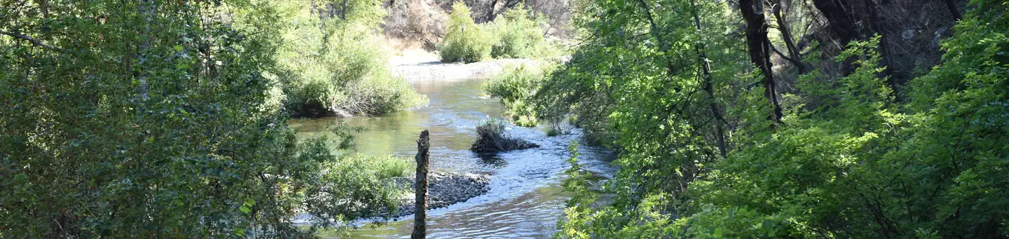
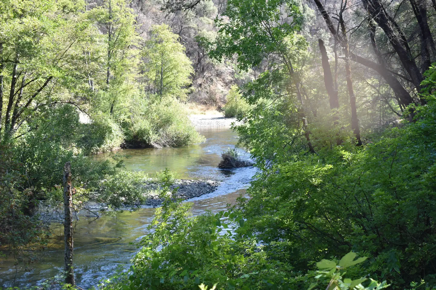
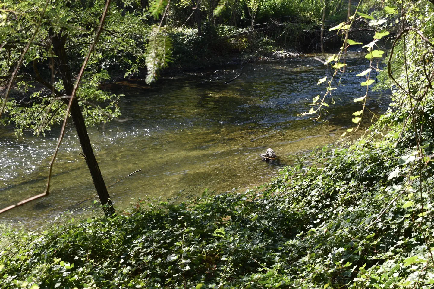
This tent-only campground is located in the southeast corner of Whiskeytown National Recreation Area, 13.5 miles west of Redding, California, and three and a half hours north of Sacramento. Clear Creek flows past the campground, making it a popular spot for fly fishing. The camp is shaded by alders and large canyon live oaks.The cool, clear waters of Whiskeytown Lake provide endless water activities. The picturesque mountain setting and extensive forested backcountry offer ample opportunities for hiking and biking.
Recreation
During the summer heat, swimming, kayaking, sailing, paddle boarding and water skiing are popular on the 3,200 acre lake. Year round, hiking, mountain biking, horseback riding, gold panning, fishing and picnicking attract visitors. Hunting is allowed in the appropriate season.Facilities
Peltier Bridge is a tent-only campground. Each campsite is equipped with a picnic table, a large bear-resistant storage locker, a metal fire pit with a swing-arm barbecue grill, and a lamp pole. The campsites share two vault toilets. For campsites 1, 2 and 3, park and walk approximately 25-35 feet to your site. Drinking water and electricity are not available.Due to a small parking area, towing vehicles is prohibited in this campground. This includes vehicles towing trailers and fifth wheels and vehicles towing pop-up campers. Motorhomes are not allowed in this campground. No overflow parking is available.
Natural Features
Tall trees providing cooling shade make Peltier Bridge Primitive Campground a relaxing retreat.Whiskeytown National Recreation Area is located where the Klamath Mountains, Cascade and Coast Mountain Ranges, and the Sacramento Valley meet, creating a wide variety of wildlife and landscapes.
Contact Info
For facility specific information, please call (530) 246-1225.Nearby Attractions
Brandy Creek Beach is located three and a half miles from the campground and features sandy beaches, a large swimming area, picnicking and barbecuing facilities. From Memorial Day through Labor Day, there are showers, a store with food and supplies and rentals of paddle boards and kayaks.The facts
- 9 bookable sites
- 1 accessible site
- Vehicles up to 15 ft
- Up to 6 people per site
- Loops: PELTIER BRIDGE PRIMITIVE CAMPGROUND
Site types
- 9 Tent Only Nonelectric
Amenities
- Campfires allowed
- Fire pits
- Picnic tables
- Grills
- Shade
- Pets allowed
Not recorded upstream: electric hookups, water hookups, sewer hookups.
9 campsites at Peltier Bridge Primitive Campground
Check-in 1:00 PM · Check-out 12:00 PM
| Site | Loop | Type | Entry | Surface | Grade | Water | Max rig | People | |
|---|---|---|---|---|---|---|---|---|---|
| 01 | PELTIER BRIDGE PRIMITIVE CAMPGROUND | Tent Only Nonelectric | Parallel | Gravel | Slight | Riverfront | 15 ft | 6 | 🐾 |
| 02 | PELTIER BRIDGE PRIMITIVE CAMPGROUND | Tent Only Nonelectric | Parallel | Gravel | Slight | Riverfront | 15 ft | 6 | 🐾 |
| 03 | PELTIER BRIDGE PRIMITIVE CAMPGROUND | Tent Only Nonelectric | Parallel | Gravel | Slight | Riverfront | 15 ft | 6 | 🐾 |
| 04 | PELTIER BRIDGE PRIMITIVE CAMPGROUND | Tent Only Nonelectric | Parallel | Gravel | Slight | Riverfront | 15 ft | 6 | ♿ 🐾 |
| 05 | PELTIER BRIDGE PRIMITIVE CAMPGROUND | Tent Only Nonelectric | Parallel | Gravel | Slight | Riverfront | 15 ft | 6 | 🐾 |
| 06 | PELTIER BRIDGE PRIMITIVE CAMPGROUND | Tent Only Nonelectric | Parallel | Gravel | Slight | Riverfront | 15 ft | 6 | 🐾 |
| 07 | PELTIER BRIDGE PRIMITIVE CAMPGROUND | Tent Only Nonelectric | Parallel | Gravel | Slight | — | 15 ft | 6 | 🐾 |
| 08 | PELTIER BRIDGE PRIMITIVE CAMPGROUND | Tent Only Nonelectric | Parallel | Gravel | Slight | — | 15 ft | 6 | 🐾 |
| 09 | PELTIER BRIDGE PRIMITIVE CAMPGROUND | Tent Only Nonelectric | Parallel | Gravel | Slight | Riverfront | 15 ft | 6 | 🐾 |
Getting there
From Redding, CA, drive 10 miles west on Highway 299. Turn left on Kennedy Memorial Drive and follow it for 1.6 miles to Paige Bar Road. Turn left onto Paige Bar Road at the dam and drive 1.2 miles to Peltier Valley Road. Turn right and follow Peltier Valley Road .7 mile to the campground.
40.58583, -122.55167 · 40°35'9.0"N 122°33'6.0"W
Typical weather
Typically 99°F in Jul, down to 54°F in Dec.
| Jan | Feb | Mar | Apr | May | Jun | Jul | Aug | Sep | Oct | Nov | Dec | |
|---|---|---|---|---|---|---|---|---|---|---|---|---|
| High °F | 54 | 58 | 63 | 70 | 79 | 89 | 99 | 98 | 92 | 78 | 62 | 54 |
| Low °F | 39 | 41 | 43 | 47 | 55 | 62 | 67 | 65 | 61 | 52 | 44 | 39 |
| Precip in | 10.7 | 11.6 | 9.9 | 5.0 | 3.1 | 1.3 | 0.1 | 0.1 | 0.5 | 2.8 | 6.3 | 11.5 |
1991–2020 averages from the nearest NOAA station, 2.2 mi away — not measured at the facility itself, and elevation can make a real difference over that distance.
Map
More photos
Member photos
Common questions about Peltier Bridge Primitive Campground
- Can you reserve a site at Peltier Bridge Primitive Campground?
- Yes, Peltier Bridge Primitive Campground is reservable through Recreation.gov.
- How many campsites does Peltier Bridge Primitive Campground have?
- 9 sites.
- What is the maximum RV length at Peltier Bridge Primitive Campground?
- 15 ft. That is the longest vehicle the sites here are recorded as taking; individual sites may be shorter.
- Are pets allowed at Peltier Bridge Primitive Campground?
- Yes, pets are allowed at Peltier Bridge Primitive Campground.
- Are campfires allowed at Peltier Bridge Primitive Campground?
- Campfires are allowed at Peltier Bridge Primitive Campground. Check for a current fire restriction before you go.
Camping near Peltier Bridge Primitive Campground
- Horse Camp Primitive Campground 1.3 mi · Campground · we watch it
- Brandy Creek Primitive Campground 1.9 mi · Campground · we watch it
- Sheep Camp Primitive Campground 2.4 mi · Campground · we watch it
- DRY CREEK GROUP CAMPGROUND (Whiskeytown NRA) 3.1 mi · Campground · we watch it
- Whiskey Creek Group Picnic Area (Whiskeytown NRA) 4.3 mi · Campground · we watch it
- Crystal Creek Primitive Campground 7.4 mi · Campground · we watch it
- Whiskeytown Visitor Center 2.6 mi · Facility
- Clear Creek Greenway 7.4 mi · Facility
- Livingston Stone National Fish Hatchery 11.1 mi · Facility
- Fishermans Point Day Use Area 11.6 mi · Facility
- Centimudi Public Boat Ramp 11.9 mi · Facility
- Lewiston Lake 16.4 mi · Facility
Contact
- Phone 530-242-3412
- Email michelle_dulisse@nps.gov
- Book Recreation.gov
Recreation.gov last updated this record on 2026-02-25.
Facility information and photographs from Recreation.gov (RIDB). SpotOpened is not affiliated with Recreation.gov or any federal agency.
Comments