Eshom Campground
Campground · California · 17 bookable sites ·
Managed by the USDA Forest Service
Sequoia National Forest (NF) · Open Access
- 17
- Bookable sites
- 35 ft
- Max rig length
- up to 12
- People per site
- 4,847 ft
- Elevation
Overview
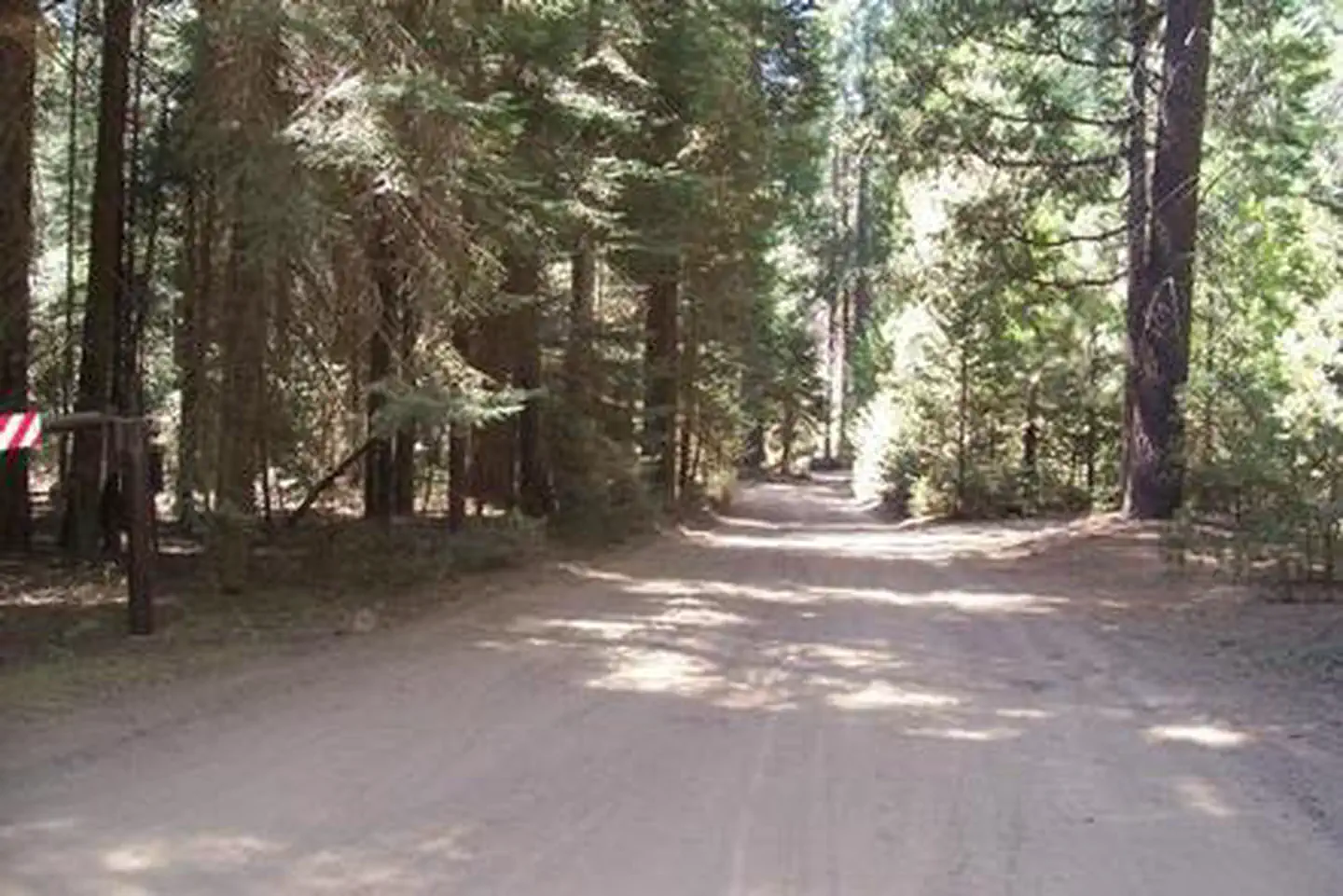
Located in the Giant Sequoia National Monument at 4,800 feet in elevation, this facility is nestled among Ponderosa pine, Cedar,Giant sequoia and other conifers. This campground is part of the Hume Lake Ranger District in Sequoia National Forest. It is located approximately 80 miles northeast of Fresno, CA, and near Kings Canyon National Park
Recreation
Opportunities abound in this beautiful forest setting for hiking, biking and off-road exploring outside of the wilderness area. Trails lead into the Redwood Mountain/Whitaker forest grove of Giant Sequoias.Facilities
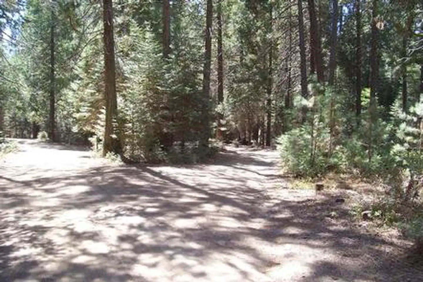
Eshom Campground is a developed facility with 23 multi-family sites. The campground has two sections, east and west. Vault toilets are provided.The west section is comprised of two loops, while the east section has a spur ending in a loop. In the west section, campsites 2 through 5 are best suited for slide-ins and tents; potable water spigots are available throughout the loops. Access to Eshom Creek can be found off the west section, where an old road is open to foot traffic only and leads to the creek.
The east section is more rustic. Sites have irregular and informal parking aprons, stone fire rings and no grills. The facility amenities are favorable for a family destination.
Natural Features
Eshom is neslted deep in the heart of the Sierra foothills. This area is accessed via a winding road in a rural region of the Sierra foothills.
The Sierra Nevada Mountains support populations of black bears, mule deer, and a variety of squirrels and other small mammals. Many bird species can also be seen.
Eshom Creek runs adjacent to the campground, and many of the sites border the water.
Contact Info
For facility specific information, please call (661) 702-1420.Nearby Attractions
The entrance to Kings Canyon National Park is just over an hour away from the campground using Hwy 245, offering more chances to explore the natural beauty of the area.
The facts
- 17 bookable sites
- 24 sites in total, including non-bookable
- Vehicles up to 35 ft
- Up to 12 people per site
- Loops: ESHOM CAMPGROUND
Site types
- 13 Standard Nonelectric
- 7 Management
- 4 Tent Only Nonelectric
Amenities
- Campfires allowed
- Fire pits
- Picnic tables
- Shade
- Pets allowed
Not recorded upstream: electric hookups, water hookups, sewer hookups, grills.
24 campsites at Eshom Campground
Check-in 2:00 PM · Check-out 12:00 PM
| Site | Loop | Type | Entry | Surface | Grade | Max rig | People | |
|---|---|---|---|---|---|---|---|---|
| 01 | ESHOM CAMPGROUND | Management | Back In | — | Slight | 30 ft | 6 | 🐾 |
| 02 | ESHOM CAMPGROUND | Management | Back In | — | Slight | 30 ft | 6 | 🐾 |
| 03 | ESHOM CAMPGROUND | Management | Back In | — | Slight | 30 ft | 6 | 🐾 |
| 04 | ESHOM CAMPGROUND | Tent Only Nonelectric | Back In | — | Slight | 30 ft | 6 | 🐾 |
| 05 | ESHOM CAMPGROUND | Tent Only Nonelectric | Back In | — | Slight | 30 ft | 6 | 🐾 |
| 06 | ESHOM CAMPGROUND | Tent Only Nonelectric | Pull Through | — | Slight | 30 ft | 6 | 🐾 |
| 07 | ESHOM CAMPGROUND | Tent Only Nonelectric | Back In | — | Slight | 30 ft | 6 | 🐾 |
| 08 | ESHOM CAMPGROUND | Standard Nonelectric | Back In | — | Slight | 30 ft | 6 | 🐾 |
| 09 | ESHOM CAMPGROUND | Management | Back In | — | Slight | 30 ft | 6 | 🐾 |
| 10 | ESHOM CAMPGROUND | Standard Nonelectric | Back In | — | Slight | 30 ft | 6 | 🐾 |
| 11 | ESHOM CAMPGROUND | Standard Nonelectric | Back In | — | Slight | 30 ft | 6 | 🐾 |
| 12 | ESHOM CAMPGROUND | Standard Nonelectric | Back In | — | Slight | 30 ft | 6 | 🐾 |
| 13 | ESHOM CAMPGROUND | Standard Nonelectric | Back In | — | Slight | 25 ft | 6 | 🐾 |
| 14 | ESHOM CAMPGROUND | Management | Back In | — | Slight | 30 ft | 6 | 🐾 |
| 15 | ESHOM CAMPGROUND | Standard Nonelectric | Back In | — | Slight | 25 ft | 6 | 🐾 |
| 16 | ESHOM CAMPGROUND | Standard Nonelectric | Back In | — | Slight | 30 ft | 6 | 🐾 |
| 17 | ESHOM CAMPGROUND | Management | Pull Through | — | Slight | 30 ft | 6 | 🐾 |
| 18 | ESHOM CAMPGROUND | Standard Nonelectric | Back In | — | Slight | 30 ft | 12 | 🐾 |
| 19 | ESHOM CAMPGROUND | Standard Nonelectric | Back In | — | Slight | 30 ft | 12 | 🐾 |
| 20 | ESHOM CAMPGROUND | Standard Nonelectric | Pull Through | — | Slight | 30 ft | 12 | 🐾 |
| 21 | ESHOM CAMPGROUND | Standard Nonelectric | Pull Through | — | Slight | 35 ft | 12 | 🐾 |
| 22 | ESHOM CAMPGROUND | Standard Nonelectric | Back In | — | Slight | 30 ft | 12 | 🐾 |
| 23 | ESHOM CAMPGROUND | Management | Back In | — | Slight | 30 ft | 6 | 🐾 |
| 24 | ESHOM CAMPGROUND | Standard Nonelectric | Back In | — | Slight | 30 ft | 12 | 🐾 |
Getting there
Be Advised: Do not follow GPS directions down Forest Road 14S45. This road is NOT PAVED, requires high clearance, and can be impassable in areas.
From 180 East - Right on 245 (From 180 West - Sharp Left on 245)
Left on Hogback Rd
(Vehicles over 25' not recommended due to sharp curves and limited road signs to campground.)
Go 4.5 miles to Whitaker Forest, go left.
(Follow sign to Eshom Camp.)
Go 4 miles and Whitaker Forest turns into County Rd 469. (Road has rough conditions in places, dirt and large pot holes.)
Go another 3.8 miles to a “T” in the road and turn left onto FR 14S75 and follow signs to the Campground.
Campground is not paved. Please watch your speed in the campground. There are a number of very large berms on the main drive heading into the campground.
36.69011, -118.94840 · 36°41'24.4"N 118°56'54.3"W
Typical weather
Typically 79°F in Jul, down to 46°F in Dec.
| Jan | Feb | Mar | Apr | May | Jun | Jul | Aug | Sep | Oct | Nov | Dec | |
|---|---|---|---|---|---|---|---|---|---|---|---|---|
| High °F | 46 | 46 | 48 | 52 | 60 | 71 | 79 | 79 | 73 | 63 | 53 | 46 |
| Low °F | 26 | 25 | 27 | 30 | 38 | 46 | 53 | 52 | 47 | 39 | 32 | 25 |
| Precip in | 8.0 | 7.3 | 7.8 | 3.6 | 1.4 | 0.5 | 0.3 | 0.2 | 0.3 | 2.4 | 3.3 | 6.6 |
1991–2020 averages from the nearest NOAA station, 3.4 mi away — not measured at the facility itself, and elevation can make a real difference over that distance.
Map
More photos
Member photos
Common questions about Eshom Campground
- Can you reserve a site at Eshom Campground?
- Yes, Eshom Campground is reservable through Recreation.gov.
- How many campsites does Eshom Campground have?
- 24 sites in total, of which 17 can be booked.
- What is the maximum RV length at Eshom Campground?
- 35 ft. That is the longest vehicle the sites here are recorded as taking; individual sites may be shorter.
- Are pets allowed at Eshom Campground?
- Yes, pets are allowed at Eshom Campground.
- Are campfires allowed at Eshom Campground?
- Campfires are allowed at Eshom Campground. Check for a current fire restriction before you go.
Also listed by
Eshom Campground also appears in other federal recreation data. Facts below are matched by name and location, not confirmed by Eshom Campground's operator.
USDA Forest Service — data as of Aug 24, 2026
- Campsite fees range from $34-68 a night. $8 a night for an extra vehicle
Camping near Eshom Campground
- Sunset Campground (Ca) 3.4 mi · Campground · we watch it
- Azalea Campground 3.8 mi · Campground · we watch it
- Crystal Springs Campground (CA) 3.8 mi · Campground · we watch it
- Crystal Springs Campground Mid-Sized Group Sites 3.8 mi · Campground · we watch it
- Quail Flat Winter Trailhead 3.1 mi · Facility
- Eshom Point OHV Staging Area 3.2 mi · Facility
- Kings Canyon Visitor Center 3.5 mi · Facility
- Cedarbrook Picnic Area 3.7 mi · Facility
- Big Meadow Winter Trailhead 4.2 mi · Facility
- Woodward OHV Staging Area 4.3 mi · Facility
- Woodward Winter Trailhead 4.3 mi · Facility
- Millwood OHV Staging Area 4.7 mi · Facility
Contact
- Phone 559-335-2232
- Email jgross@goexplorus.com
- Book Recreation.gov
Recreation.gov last updated this record on 2026-05-06.
Facility information and photographs from Recreation.gov (RIDB). SpotOpened is not affiliated with Recreation.gov or any federal agency.
Comments