Havasu Wilderness
Facility · California ·
Managed by the Fish and Wildlife Service
Havasu National Wildlife Refuge (AS) · Restricted Access
- 620 ft
- Elevation
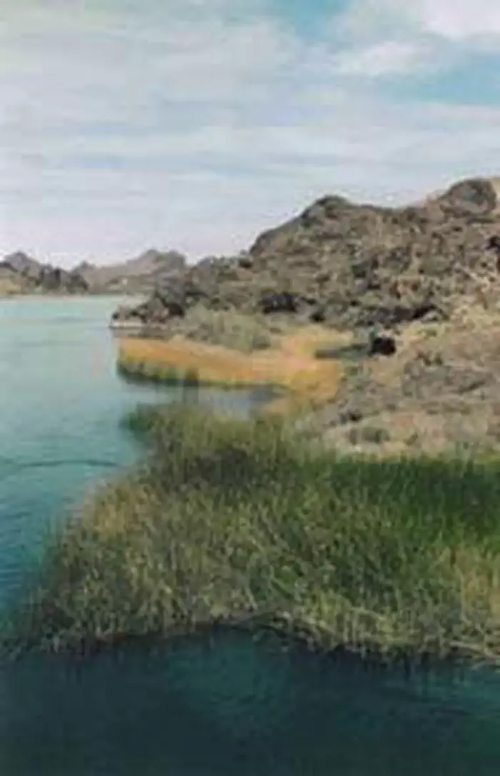
The Havasu Wilderness now contains a total of 17,801 acres and is managed by the Fish & Wildlife Service's Havasu National Wildlife Refuge.
Arizona contains approximately 14,606 acres. California contains approximately 3,195 acres. In 1994 the Havasu Wilderness became part of the now over 110 million acre National Wilderness Preservation System.
Established in 1941, Havasu National Wildlife Refuge stretches along the Colorado River for 30 miles between Needles, California and Lake Havasu City, Arizona, with most of the refuge situated in Arizona. Approximately one-third of the refuge--all of it in Arizona--was designated Wilderness in 1990. California got into the act in 1994, adding almost everything north of Blankenship Bend on the Colorado River. This area shares its western border with the large Chemehuevi Mountains Wilderness.
The Wilderness is rich in wildlife including quail, geese, ducks, grebes, cranes, rails, herons, egrets, falcons, eagles, bighorn sheep, coyotes, porcupines, foxes, and bobcats. Here you may see the endangered desert tortoise and the poisonous Gila monster. Exemplary desert hiking through creosote, ocotillo, blue-green paloverde, and pockets of saguaro promises solitude.
Getting there
The refuge office is located at 317 Mesquite Avenue, Needles, CA 92363. The latitude and longitude are 34.837010, and -114.620274. From Interstate 40, exit on J Street and go southwest (uphill) 0.6 miles. Turn right at the refuge entrance sign and follow the signs to the administrative office. On holidays, after hours, and on weekends, a self-serve kiosk with refuge brochures and leaflets can be accessed by visitors. It is located in front of the administrative office.
Access to Havasu Refuge – The refuge can be accessed from many different places, including from the lower Colorado River via boat and multiple roads. Please view the refuge map for additional information regarding how to travel to a particular area on the refuge.
34.83702, -114.62029 · 34°50'13.3"N 114°37'13.0"W
Typical weather
Typically 111°F in Jul, down to 65°F in Dec.
| Jan | Feb | Mar | Apr | May | Jun | Jul | Aug | Sep | Oct | Nov | Dec | |
|---|---|---|---|---|---|---|---|---|---|---|---|---|
| High °F | 66 | 71 | 79 | 87 | 96 | 106 | 111 | 109 | 103 | 90 | 75 | 65 |
| Low °F | 46 | 49 | 54 | 61 | 70 | 80 | 87 | 85 | 77 | 65 | 53 | 45 |
| Precip in | 0.7 | 0.8 | 0.5 | 0.2 | 0.1 | 0.0 | 0.3 | 0.4 | 0.3 | 0.2 | 0.3 | 0.4 |
1991–2020 averages from the nearest NOAA station, 4.8 mi away — not measured at the facility itself, and elevation can make a real difference over that distance.
Map
Member photos
Common questions about Havasu Wilderness
- Can you reserve a site at Havasu Wilderness?
- No. Havasu Wilderness is not reservable through Recreation.gov, so sites are first-come, first-served or booked elsewhere.
Camping near Havasu Wilderness
- Mohave Milltown West Trailhead 8.7 mi · Facility
- Mohave Milltown East Motorized Trailhead 14.5 mi · Facility
- Mohave Milltown East Non-motorized Trailhead 14.9 mi · Facility
- Mt. Nutt Wilderness - Twin Springs Trailhead 26.3 mi · Facility
- Katherine Landing RV Park 26.8 mi · Campground
- Katherine Landing Campground 26.9 mi · Campground
- Mt. Nutt Wilderness - Cave Spring Trailhead 27.7 mi · Facility
- Sleeping Princess OHV Trail 28.8 mi · Facility
- Route 66 (Piute Crossing) 29.9 mi · Facility
- Badger Trail 38.6 mi · Facility
- Castle Rock Trail 38.6 mi · Facility
- Foothills Rim Trail 39 mi · Facility
Contact
- Phone (760) 326-3853
- Email linda_l_miller@fws.gov
- Info Recreation.gov
Recreation.gov last updated this record on 2026-02-25.
Facility information and photographs from Recreation.gov (RIDB). SpotOpened is not affiliated with Recreation.gov or any federal agency.
Comments