Lava Beds National Monument Tours
Tickets · California ·
Managed by the National Park Service
Lava Beds National Monument (National Monument) · Open Access
- 4,782 ft
- Elevation
Overview:
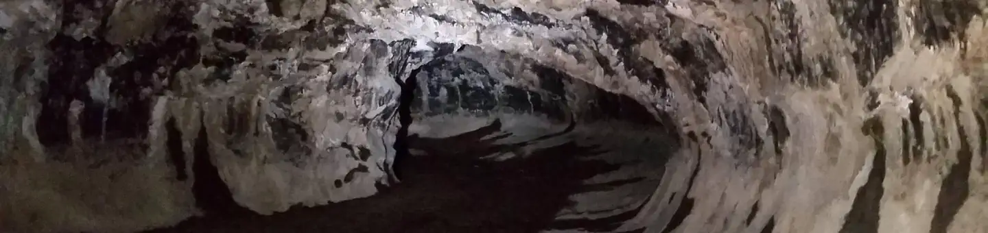
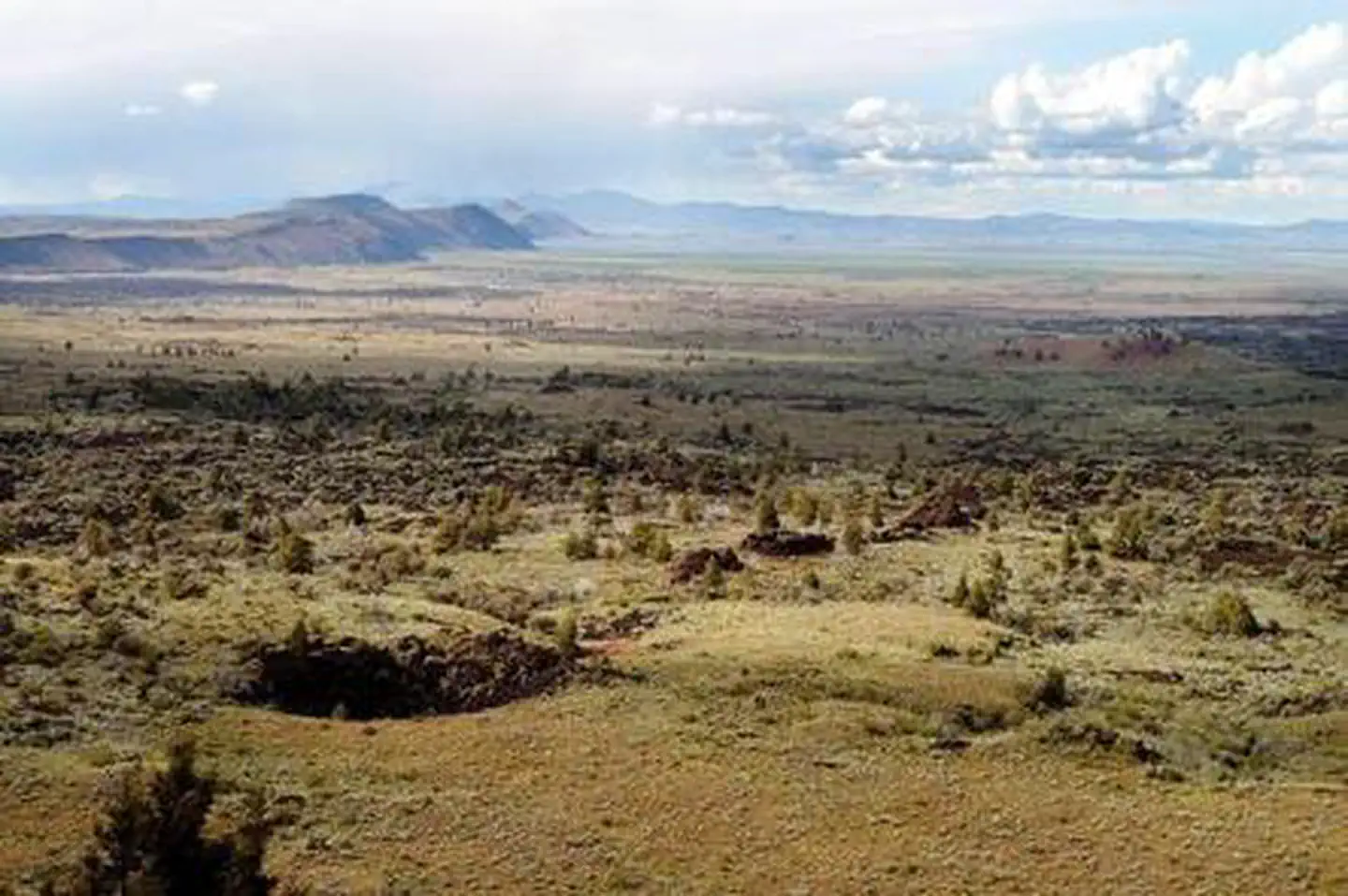
Lava Beds National Monument is a place where you can smell the sage and juniper, hear the birds, crawl beneath the surface of the earth, hike through miles of ancient lava flows, and learn about the cultural heritage of the Modocs.Situated on a small 47,000 acre portion of the Medicine Lake shield volcano, Lava Beds National Monument was formed from a series of eruptions over the course of the past 500,000 years. This activity has created an incredibly rugged landscape punctuated by both developed and undeveloped caves, cinder cones such as Schonchin Butte that provide expansive views of the Tule Lake Basin and Modoc National Forest, and jagged lava flows like Devil's Homestead.
Many of the caves and features at Lava Beds National Monument show evidence of the human influence on the landscape. Native American cave paintings, called pictographs or petroglyphs, were created by the Modocs and can be seen at Big Painted Cave and Symbol Bridge, while hundreds of rock carvings can be found at Petroglyph Point.
The geologic and cultural histories collide in a unique way at Captain Jack's Stronghold, a natural lava fortress where Captain Jack and a group of 53 Modoc warriors and their families held out against the United States military for five months during the Modoc War of 1872 to 1873.
Whether looking through exhibits at the visitor center, hiking the trails, or exploring the caves, experience the diverse opportunities at Lava Beds National Monument on your own, or through guided tours.
Summary of Fees
Tour Name Ages 12 and up Reservation Fee (per ticket) Changes* Crystal Ice Cave Free $1.50
(non-refundable) $0.00 Fern Cave Free $1.50
(non-refundable) $0.00 *Customers may request changes until 9:00 PM Pacific Time the day before the tour
Getting there
From the south via Adin, Oregon:. Head north on 139/299 E for approximately 21 miles. Follow signs to Tulelake to the left and take 139 N for 27 miles until you see a brown highway sign for Lava Beds National Monument. Take a left onto Rd 44 N 01 / 97 and travel for 3 miles until you see a brown highway sign for Lava Beds National Monument indicating to take a right onto FS 10. This road will bring you to the park border in 10 miles.This route is sometimes closed in winter.
Visit the park website for complete directions http://www.nps.gov/labe/planyourvisit/directions.htm
41.71497, -121.51025 · 41°42'53.9"N 121°30'36.9"W
Typical weather
Typically 86°F in Jul, down to 41°F in Dec.
| Jan | Feb | Mar | Apr | May | Jun | Jul | Aug | Sep | Oct | Nov | Dec | |
|---|---|---|---|---|---|---|---|---|---|---|---|---|
| High °F | 43 | 46 | 52 | 57 | 66 | 76 | 86 | 86 | 78 | 66 | 50 | 41 |
| Low °F | 23 | 25 | 28 | 31 | 38 | 44 | 53 | 51 | 45 | 36 | 27 | 22 |
| Precip in | 1.6 | 2.1 | 1.9 | 1.3 | 1.4 | 1.0 | 0.4 | 0.3 | 0.4 | 0.8 | 1.5 | 1.5 |
1991–2020 averages from the nearest NOAA station, 1 mi away — not measured at the facility itself, and elevation can make a real difference over that distance.
Map
More photos
Member photos
Common questions about Lava Beds National Monument Tours
- Can you reserve a site at Lava Beds National Monument Tours?
- Yes, Lava Beds National Monument Tours is reservable through Recreation.gov.
Camping near Lava Beds National Monument Tours
- Medicine Lake Recreation Area 9.7 mi · Campground · we watch it
- Little MT. Hoffman Lookout 12.2 mi · Campground · we watch it
- Lava Beds Visitor Center 0.1 mi · Facility
- Indian Well Campground 0.4 mi · Campground
- Schonchin Springs Campground 10.1 mi · Campground
- Blanche Lake Campground 11.3 mi · Campground
- Payne Springs Campground 11.4 mi · Campground
- Tule Lake Visitor Center 13.7 mi · Facility
- Harris Spring Campground 22.8 mi · Campground
- Shafter Campground 24.3 mi · Campground
- Orr Lake Campground 25.2 mi · Campground
- Trout Creek Campground 26.9 mi · Campground
Contact
- Phone 530-667-8113
- Email labe_information@nps.gov
- Book Recreation.gov
Recreation.gov last updated this record on 2026-02-25.
Facility information and photographs from Recreation.gov (RIDB). SpotOpened is not affiliated with Recreation.gov or any federal agency.
Comments