Colorado campgrounds and permits
658 facilities, 240 of which we can watch for cancellations.
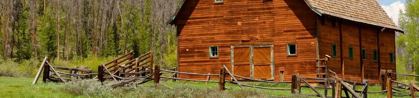 AA Bar Ranch (AA Barn) Group Picnic SiteCampground · 1 sites
Overview Reservable, day-use site for group picnics and other gatherings next to the Colorado River, Rocky Mountain National Park, and a historic barn that is…
- Acorn Creek #71Facility · not watchable
This trail offers the hiker solitude as well as an excellent opportunity to view wildlife.
- Adams Fork Trailhead, Trail 713Facility · not watchable
The trailhead is on FDR 247, about 1 mile above Platoro Reservoir. The trailhead parking is to the left of the road, the trail is across the road to the right.
- Agate Spur #484.2AFacility · not watchable
Forest Trail #484.2A (Agate Spur Trail) is 0.6 miles long. It begins at U.S. Highway 50 (T. 48 N. R. 5 E.
- Alamosa Trailhead and Trail 703Facility · not watchable
Alamosa trailhead is just west of the junction of FDR 250 and FDR 260. There is limited parking here.
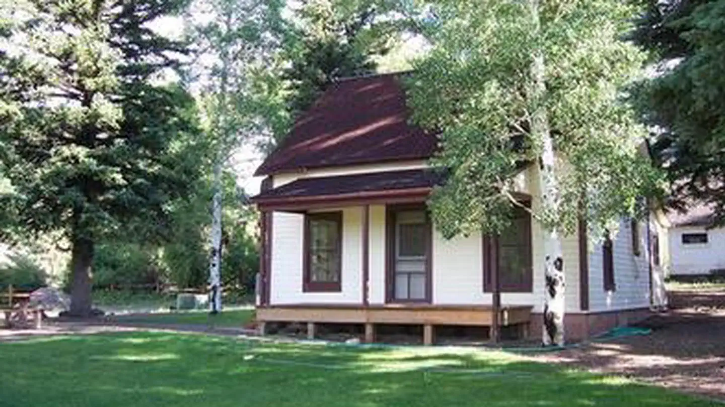 Alder Guard StationCampground · 1 sites
Overview Alder Guard Station is located 2 miles north of the town of South Fork along Alder Creek in the Rio Grande National Forest.
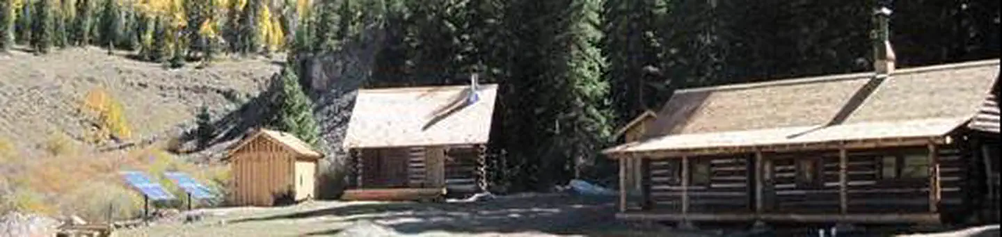 Alpine Ranger StationCampground
Overview The Alpine Ranger Station is situated on the Alpine Plateau at 9,600 feet, in a beautiful alpine valley surrounded by aspen, spruce and fir forest.
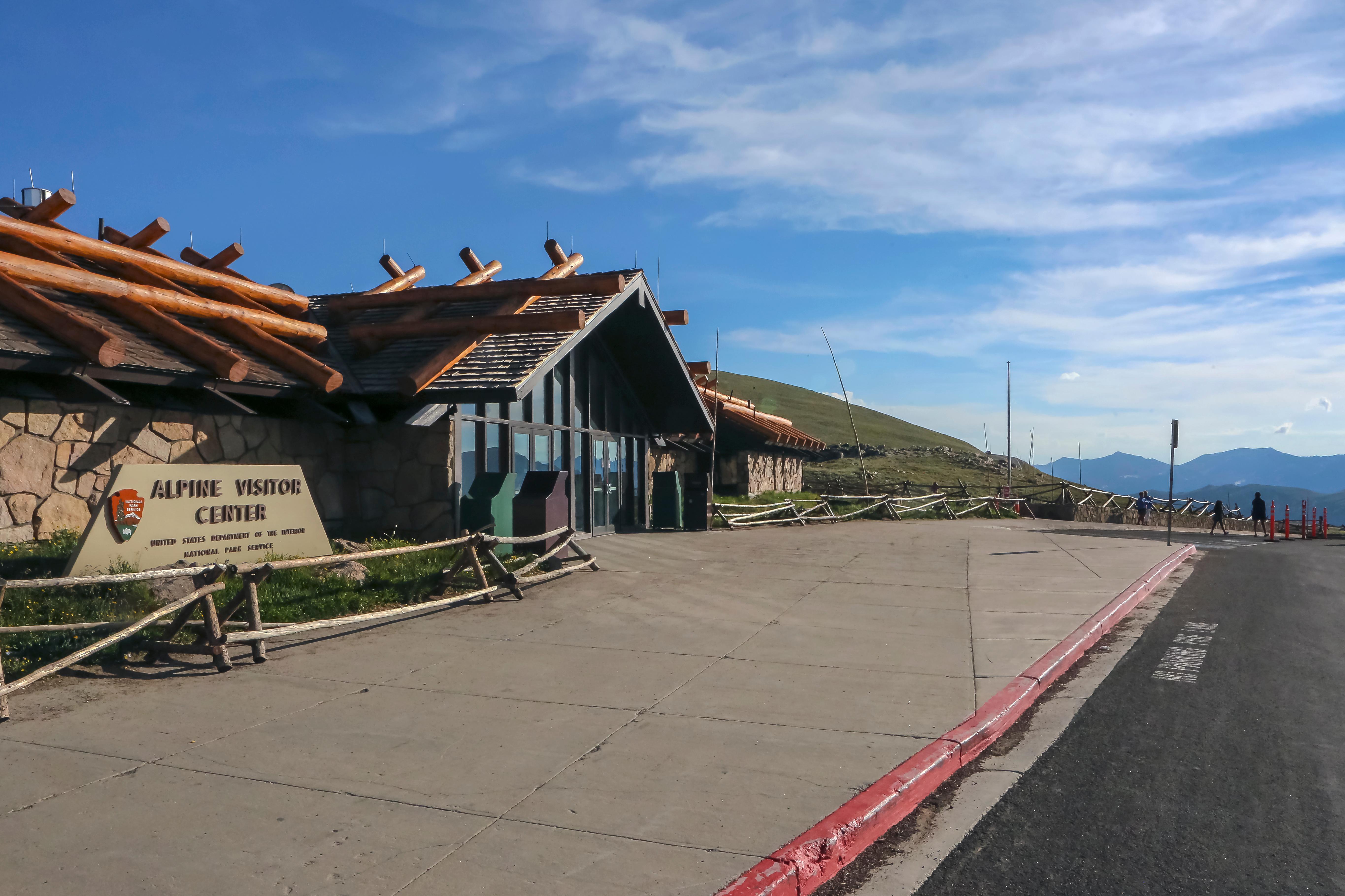 Alpine Visitor CenterFacility · not watchable
Alpine Visitor Center is open for the 2026 summer season. Located at the top of Fall River Pass and accessed via Trail Ridge Road, Alpine Visitor Center is the…
 Alvarado CampgroundCampground · 50 sites
Overview Alvarado Campground, located at an elevation of 9,000 ft., is a prime location for accessing easy to challenging hikes in the Sangre de Cristo…
 Amphitheater (Co)Campground · 35 sites
Overview Amphitheater Campground is located near the town of Ouray, Colo., at an elevation of 8,400 feet.
 Angel of Shavano GroupCampground · 1 sites
Overview Angel of Shavano Group Campground is considered one of the area's best kept camping secrets.
- Animas ForksFacility · not watchable
Animas Forks is located on a system of roads known as the Alpine Loop. The loop is a 65-mile (105 kilometers) system of unpaved roads which connects the small…
- Animas/Grandview/Skyline RMZFacility · not watchable
Within this Recreation Management Zone are three isolated parcels of BLM managed lands which are popular for non-motorized trail activities.
 Ansel WatrousCampground · 17 sites
Overview Ansel Watrous Campground is located on the Cache la Poudre River, 22 miles northwest of Fort Collins, Colo., along Highway 14.
- Anthracite Pass #1969Facility · not watchable
A very difficult day hike to a mountain pass through groves of aspen, pine forests and open meadows offering wonderful views of surrounding peaks.
- Antones #1871Facility · not watchable
The Antones Trail begins at LEDE Reservoir and ends at Forest Service Road 414. The trail begins as an old jeep road, then enters aspen forest as a gradual…
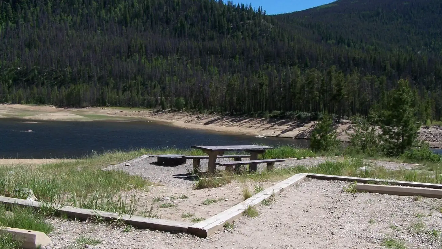 Arapaho BayCampground · 79 sites
Overview The Arapaho Bay Campground is located in the Arapaho National Recreation Area on Lake Granby, southeast of Grand Lake.
- Arapaho National Recreation AreaFacility · not watchable
Welcome to the Arapaho National Recreation Area (ANRA) - a 35,000 acre scenic water wonderland in the upper reaches of the Colorado River Valley.
- Argentine Pass #77Facility · not watchable
The Peru Creek drainage is rich in mining history with numerous underground mine shafts, so be careful where you walk.
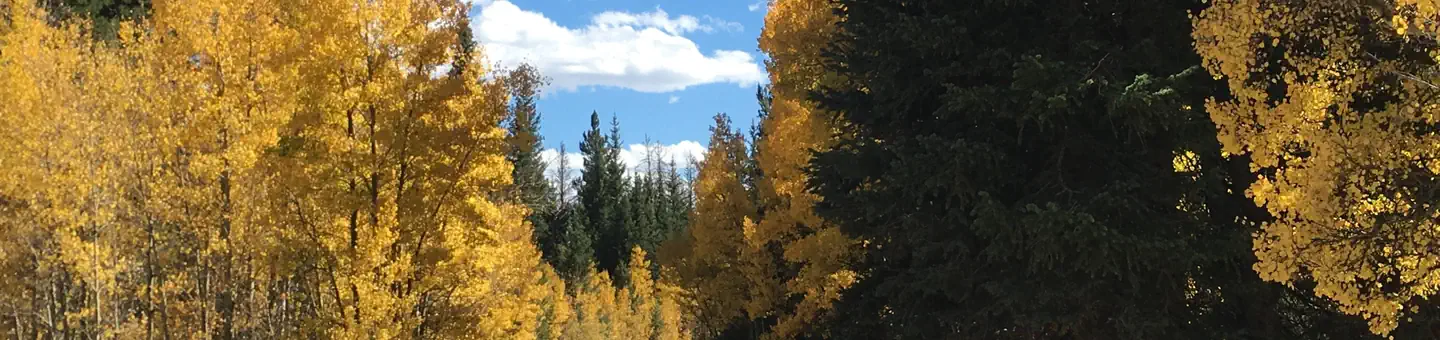 Aspen (Co)Campground · 11 sites
Overview Aspen Campground is an excellent place for campers looking to relax, hike, fish and enjoy the sounds of nature.
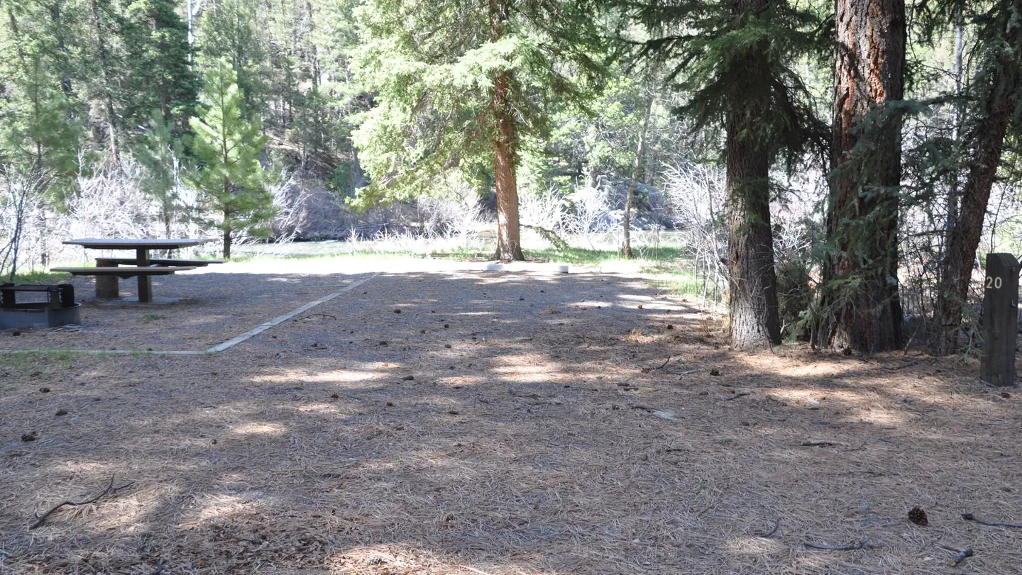 Aspen Glade (Rio Grande National Forest, CO)Campground · 32 sites
Overview Aspen Glade Campground sits on the Conejos River in southern Colorado, providing a premium setting for fly fishing and peaceful nature watching.
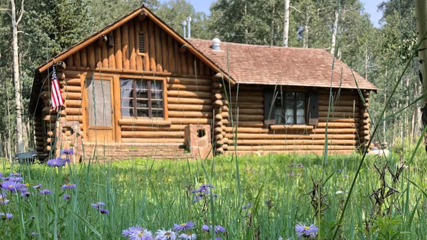 Aspen Guard StationCampground · 1 sites
Overview You’re in for a treat when you rent Aspen Guard Station’s beautiful cabin.
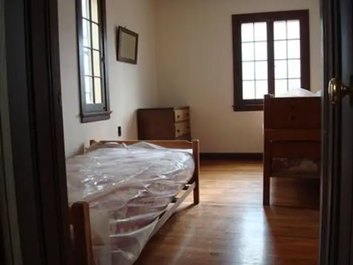 Aspen Leaf Cabin (Uncompahgre National Forest, Co)Campground · 1 sites
Overview Aspen Leaf is one of three cabins at the Cold Springs Work Center that welcomes guests with its homey vibe and remote mountain setting.
- Aspen Mountain Ski AreaFacility · not watchable
Aspen Mountain and its famous black-diamond terrain has kept the town of Aspen on the map since 1947, serving up great groomers, glades, bumps and steeps for…
- Aspen to Crested Butte via West Maroon #1970Facility · not watchable
ALERT: Due to recent bear activity, bear canisters are required for all backpackers in the Maroon Bells-Snowmass Wilderness.
- Aspen-Norrie #1927Facility · not watchable
From the trailhead in Twin Meadows, hike west along the creek. The trail is marked with blue metal tags on trees for cross-country skiers. Mt.
- Aspen-Sopris Ranger DistrictFacility · not watchable
Aspen-Sopris manages five Wilderness areas and the spectacular Maroon Bells Recreation Area, the historical Crystal Mill, Ashcroft ghost town, and the small…
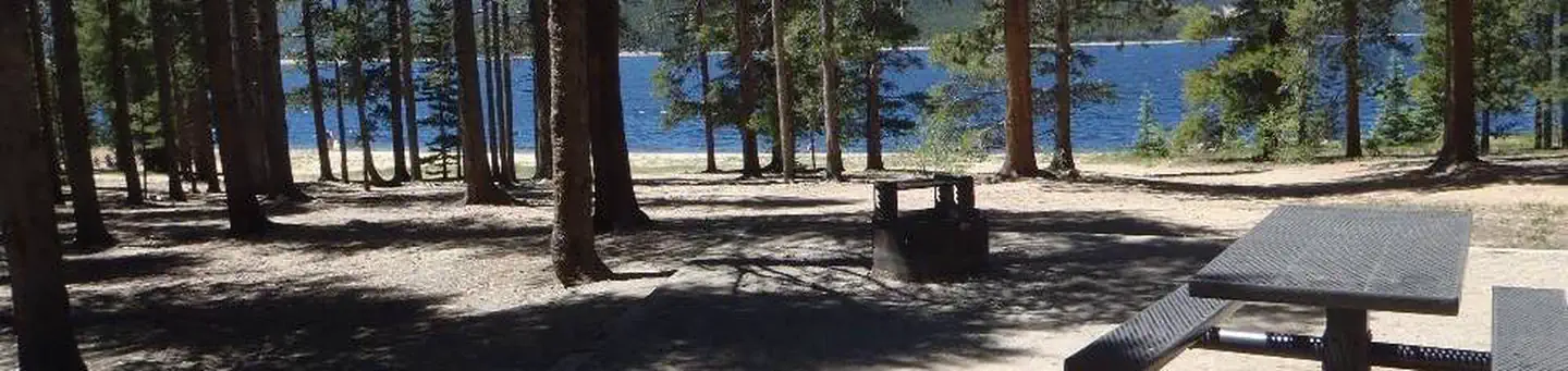 Baby DoeCampground · 48 sites
Overview Baby Doe Campground is situated on the eastern shore of Turquoise Lake in the shade of a lodgepole pine and subalpine fir forest.
- Bachelor Loop Interpretive TourFacility · not watchable
This 17-mile self-guided driving tour loops through Creede’s historic silver mining district and ghost towns.
- Bailey Lakes #1859Facility · not watchable
The Bailey Lakes trail begins on the Hooper Lake Trail # 1860 and ends at Bailey Lakes.
- Barger Gulch Fishing AccessFacility · not watchable
The segment of the river from Granby to Kremmling is very popular for fishing and a portion has been designated as Gold Medal Water by the Colorado Division of…
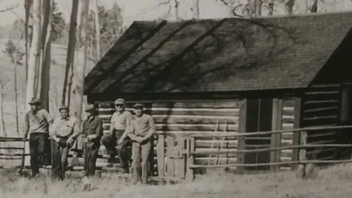 Bassam Guard StationCampground · 1 sites
Overview Bassam Guard Station was built in 1911 as one of a network of remote stations to be used by the first forest rangers and guards to monitor grazing…
- Battlement #2160 (West)Facility · not watchable
This page describes the western half of the Battlement Trail. This portion of the trail traverses the Battlement Mesa, and can be accessed from the west via…
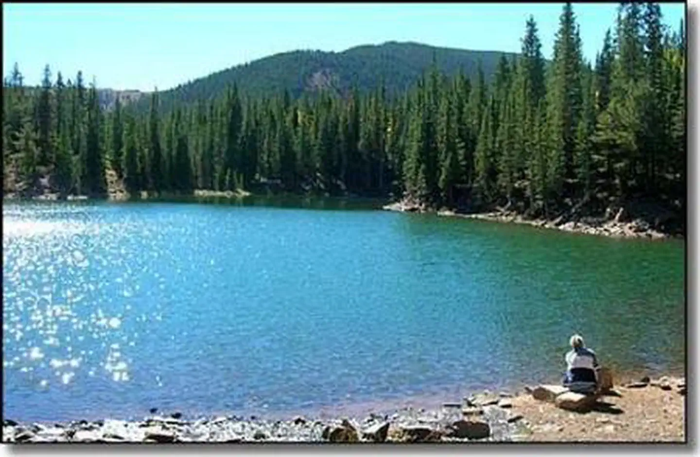 Bear Lake Campground (Co)Campground · 13 sites
Overview Bear Lake Campground is located in the beautiful San Isabel National Forest at an elevation of 10,480 ft.
- Bear Town Trailhead #787Facility · not watchable
This primitive trailhead is near the end of the Beartown 4x4 road and consists of a trail sign and small parking area.
- Beaver Lake #2109Facility · not watchable
The Beaver Lake Trail begins at the base of the Beaver Creek Ski Area and continues past Beaver Lake at 3.3 miles, ending at Turquoise Lakes: This trail…
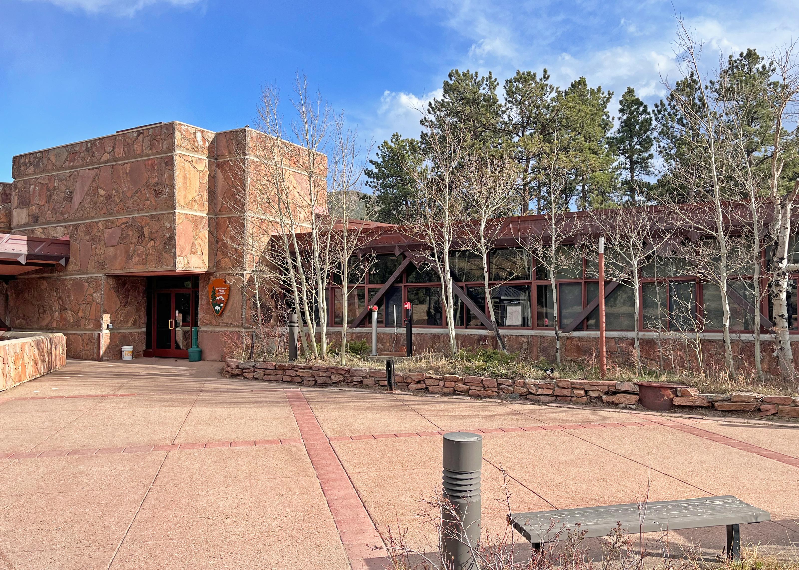 Beaver Meadows Visitor CenterFacility · not watchable
Beaver Meadows Visitor Center is open year-round. This visitor center is located on the east side of RMNP near the town of Estes Park, along U.S.
- Bedrock Recreation SiteFacility · not watchable
The Bedrock site is adjacent to the Dolores River. There is a boat ramp and 4 cabanas with tables, grills, and a large flat area to accommodate additional…
- Beecher LoopFacility · not watchable
From Wolverton Spring ride southwest on Hardscrabble Rd. for 2.5 miles until you get to the junction of FDR 413 and FDR 451, turn left staying on FDR…
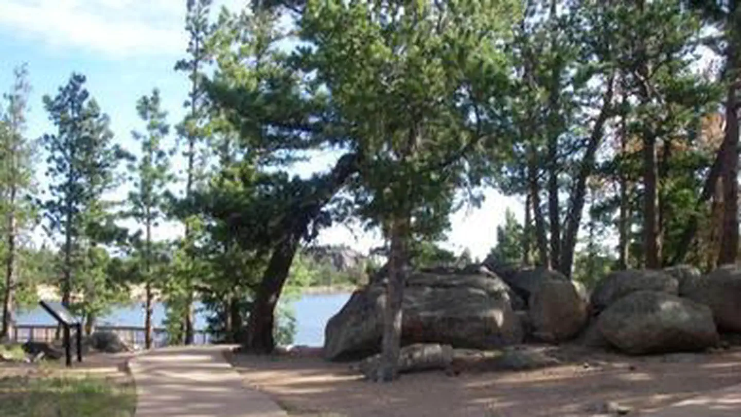 Bellaire Lake CampgroundCampground · 26 sites
Overview Bellaire Campground is located 47 miles northwest of Fort Collins, Colo., near the Red Feather Lakes village.
- Bellaire Lake Picnic SiteFacility · not watchable
The Bellaire Lake Day Use Area provides parking and picnic opportunities adjacent to Bellaire Lake. A fee is required to use this area.
- Belle of Colorado CampgroundCampground · not watchable
The Belle of Colorado is a tent-only, non-reservable campground located on the eastern shore of Turquoise Lake in a shaded lodgepole pine forest. Facilities…
- Bennett Creek Picnic SiteFacility · not watchable
This picnic area is situated next to County Road 63E (Pingree Park Road) where it crosses Bennett Creek.
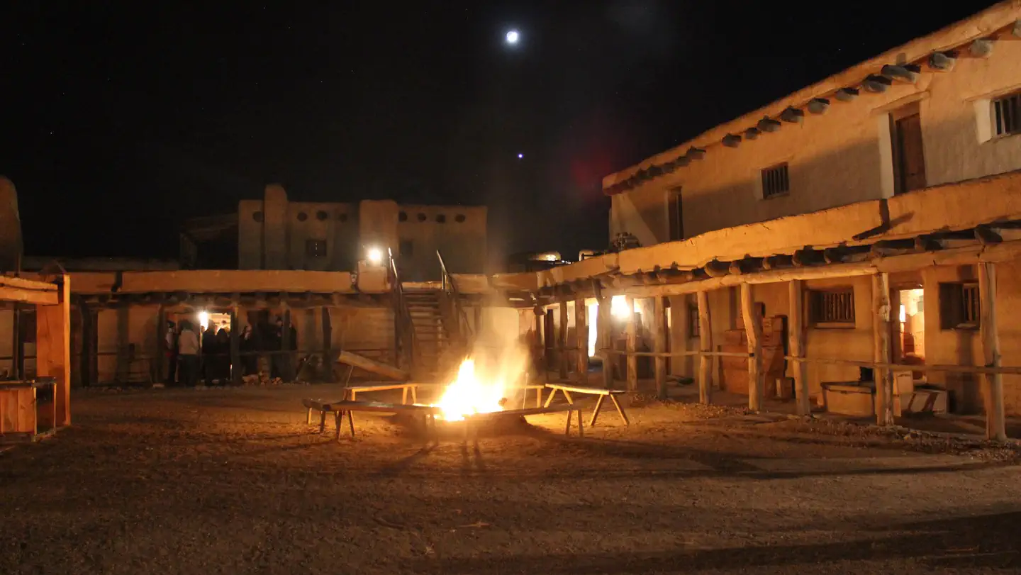
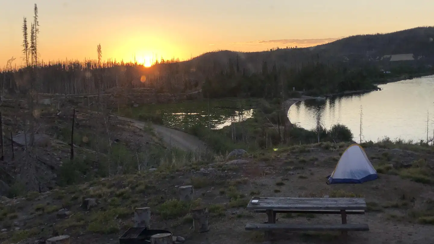 Big Creek Lakes CampgroundCampground · 24 sites
Overview The popular Big Creek Lakes Campground offers a peaceful, scenic setting in the heart of the Rocky Mountains of northern Colorado.
- Big Fish #1819Facility · not watchable
The Big Fish Trail begins at the Big Fish Trailhead in the Himes Peak Campground. The trail crosses the White River on a narrow foot bridge, then enters the…
- Big Meadows Reservoir Boating SiteFacility · not watchable
The Big Meadows Boating site is a 600 acre impoundment. It offers a small boat ramp, restroom, parking lot.
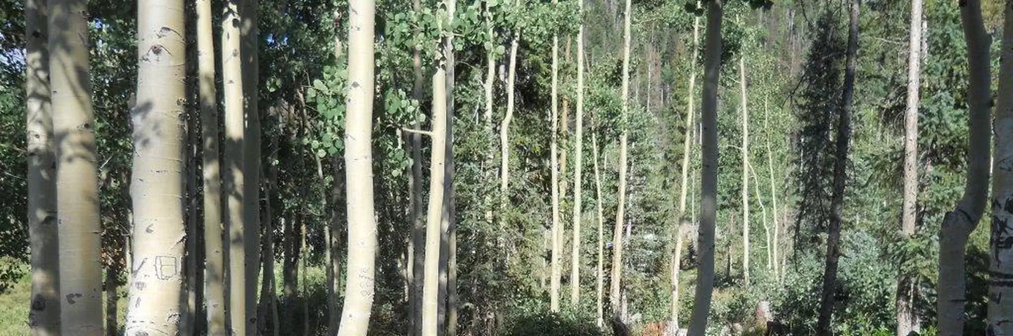 Big Meadows Reservoir Campground (South Central CO)Campground · 47 sites
Overview Big Meadows is located in the San Juan Mountains in south-central Colorado, about 11 miles west of South Fork.
- Big Meadows TrailheadFacility · not watchable
This is a Winter Trailhead for snowmobiling and Cross Country Skiers along US Highway 160.
- Big Meadows/Archuleta Trailhead # 839Facility · not watchable
“Campers staying at Big Meadows between September 7 and 11, 2018 can expect loud noises between 9 am and 6 pm due to a blasting project in the Spruce Lakes…
- Bighorn #2013Facility · not watchable
The 3.25 mile Bighorn Trail begins at Bighorn Road and ends at an old shack at 10,778 feet. The first 1/2 mile of the trail climbs steeply out of the Vail…
- Bill Moore Lake/Empire LoopFacility · not watchable
The Bill Moore/North Empire Loop is a network of roads for OHV opportunities located north of Empire.
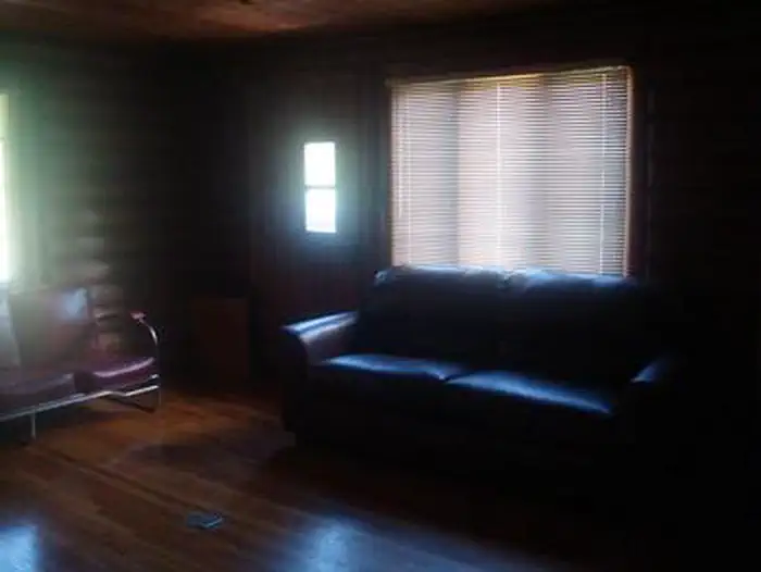 Black Bear Cabin at Mesa Lakes (CO)Campground · 1 sites
Overview Black Bear Cabin at Mesa Lakes offers guests the opportunity to experience an overnight stay in a traditional Forest Service Ranger Station.
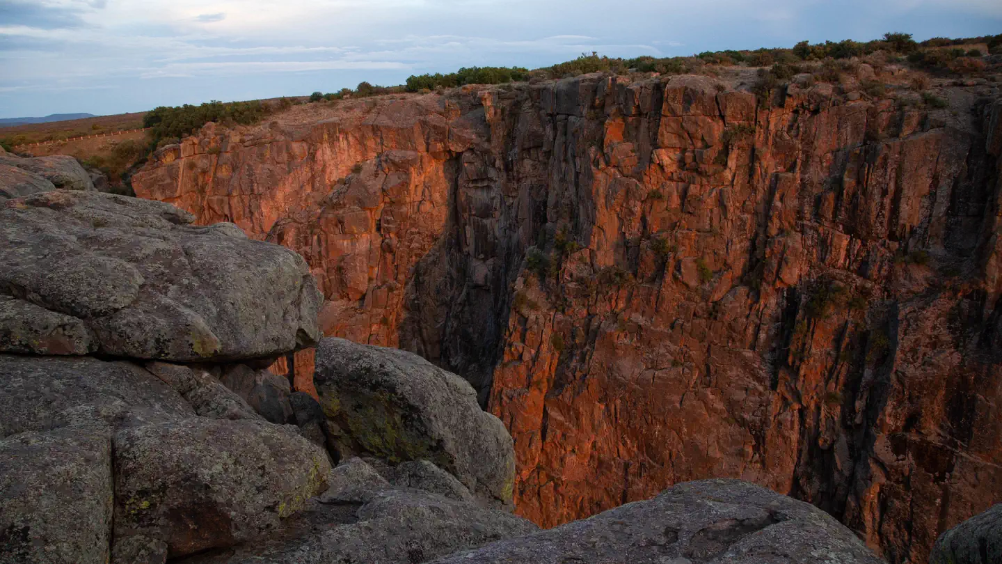 Black Canyon Of The Gunnison South Rim CampgroundCampground · 84 sites
Overview A camping trip to the Black Canyon of Gunnison National Park makes for a beautiful getaway for sightseeing, stargazing, and hiking.
- Blair Lake #2048Facility · not watchable
The Blair Lake Trail leads visitors into the southern edge of the Flat Tops Wilderness.
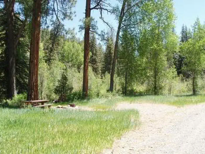 Blanco River Group CampgroundCampground · 1 sites
Overview Blanco River Group Campground is located four miles off U.S. Highway 84, on Forest Road 656.
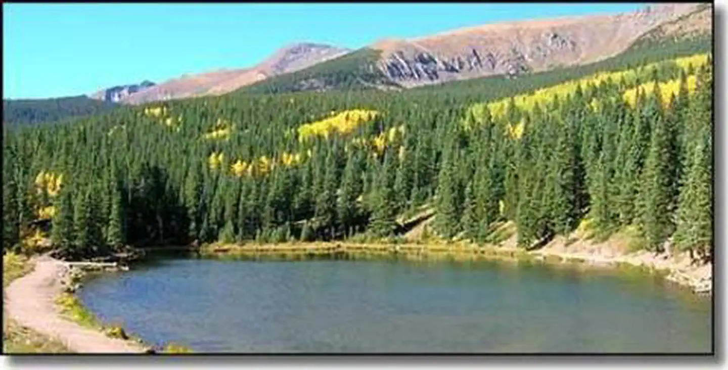 Blue Lake Campground - San Isabel NF (CO)Campground · 16 sites
Overview Blue Lake Campground is located in the beautiful San Isabel National Forest at an elevation of 10,500 ft.
- Blue MountainCampground · 20 sites
Overview Blue Mountain Campground sits between Eleven Mile Canyon with the South Platte River to the north and the peak of Blue Mountain to the south, creating…
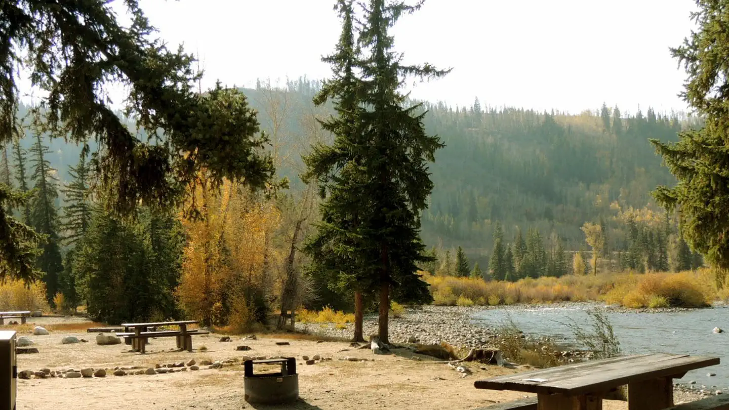 Blue River Campground (CO)Campground · 24 sites
Overview Blue River Campground is located 10 minutes north of Silverthorne on Highway 9 in White River National Forest.
- Bocco Mountain TrailheadFacility · not watchable
Trailhead for Bocco Mountain Recreation Area. Bocco Mountain Recreation Area is a small motorcycle riding area north of I-70 at Wolcott.
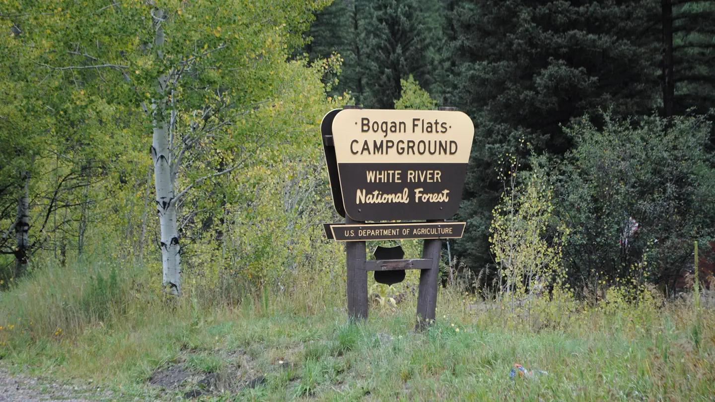 Bogan Flats Campground and GroupCampground · 36 sites
Overview Bogan Flats Campground stretches along the Crystal River in a valley of aspen groves, towering Ponderosa Pine, spruce, and willow.
- Boreas Pass Section HouseFacility · not watchable
The section house is located at the summit of Boreas Pass and in the late 1800s and early 1900s served as the main building for the Denver, South Pacific, and…
- Bottomless Pit Observation SiteFacility · not watchable
The overlook provides a view of a deep cirque and interesting rock formations of the Bottomless Pit.
- Boulder CanyonFacility · not watchable
Carved by the rushing waters of Middle Boulder Creek, Boulder Canyon is popular for scenic driving, fishing and rock climbing.
- Boustead Tunnel Observation SiteFacility · not watchable
Locted at the far west end of Turquoise Lake, Boustead Tunnel conveys water collected by the West Slope Collection System under the Continental Divide and into…
- Box ElderFacility · not watchable
BLM's Box Elder Campground is located within the Dolores River Canyon 6 miles NE of Dove Creek.
- Braderich Creek #1952Facility · not watchable
This trail travels through open meadows and aspen. It is an easy hike, but there is very little water along the way.
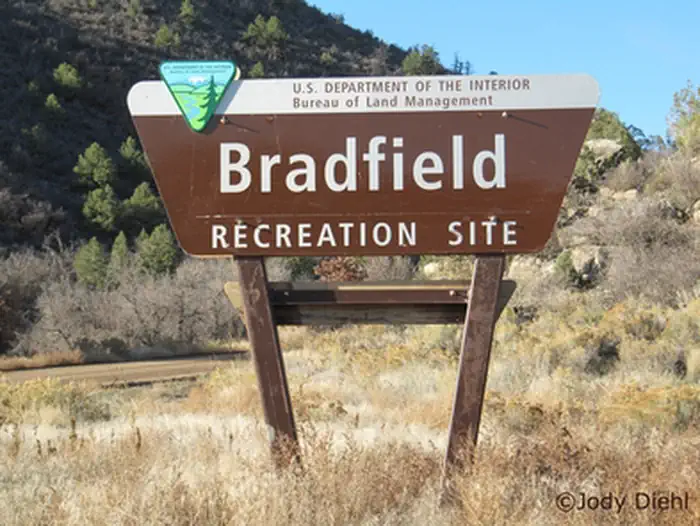 Bradfield Recreation SiteFacility · not watchable
Bradfield is a large, open campground with a day use area and boat ramp. There are 17 designated camping spurs with picnic tables and fire rings.
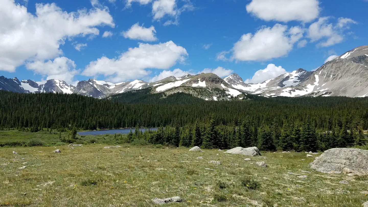 Brainard Lake Recreation Area Timed TicketsTimed entry
The Brainard Lake Recreation Area is uniquely set in a glacially carved valley offering visitors spectacular panoramic views of Brainard Lake, surrounding…
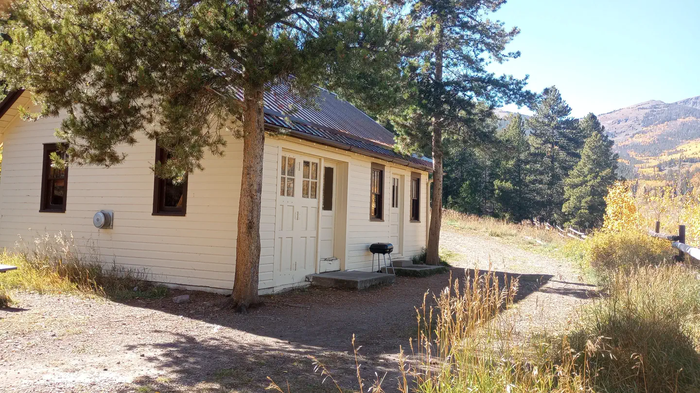 Brewery Creek Guard StationCampground · 1 sites
Overview Brewery Creek Guard Station is situated at an elevation of 9,500 feet in a densely wooded aspen grove overlooking Brewery Creek.
- Bright Extension TrailheadFacility · not watchable
Located 2.2 miles east of County Road 82E on the south side of Johnny Park Road (National Forest System Road 118), the trailhead is marked with a small sign…
- Bristol Head CampgroundCampground · not watchable
This campground contains 15 sites (11 are pull through) ranging from 35 to 55 feet in length. There are both dead end spurs and pull throughs. Sits in a…
- Brown's Loop #1874Facility · not watchable
The Brown's Loop trail begins at Yeoman Park Campground B-loop and ends at Yeoman Park Day Use Area.
- Buckeye GulchFacility · not watchable
Approximately 2 miles, this road that can be walked, biked or driven. The section of the road that can be driven with a 4WD vehicle begins 4.5 miles north of…
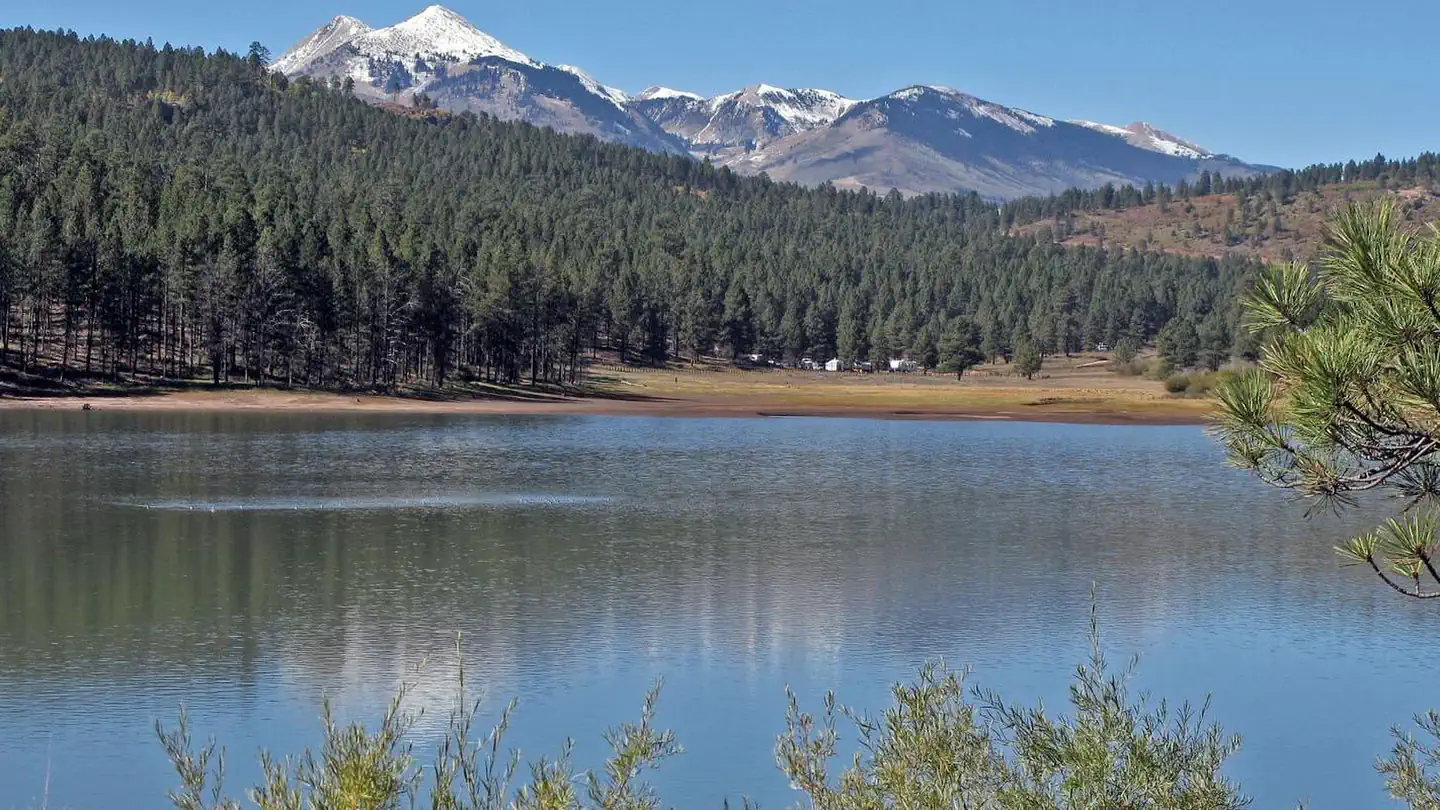 Buckeye Recreation Area (Co)Campground · 31 sites
Overview The Buckeye Recreation Area is located adjacent to Buckeye Reservoir in Montrose County, Colorado.
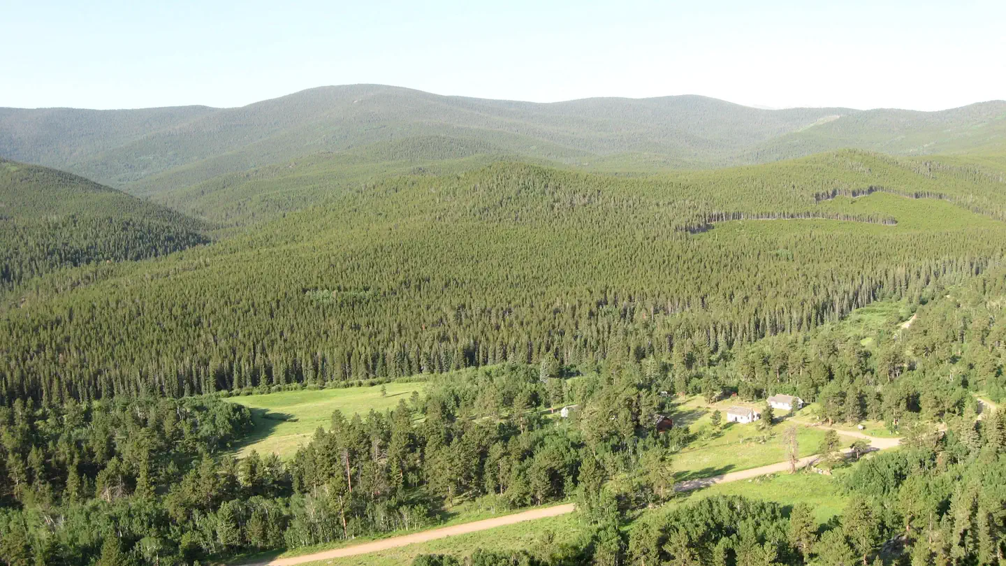 Buckhorn Ranger StationCampground · 3 sites
Overview The Buckhorn Ranger Station has three cabins, an office and large garage.
- Buffalo Cabin/Buffalo Mountain #31Facility · not watchable
Along this trail you have an option of a shorter hike to some log cabin ruins or continuing up the trail to the top of Buffalo Mountain at 12,274 ft.
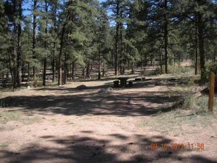 Buffalo CampgroundCampground · 37 sites
Overview Buffalo Campground is one of two facilities within the Buffalo Creek Recreation Area, about an hour's drive southwest of Denver, Colorado.
- Buffalo Creek Recreation AreaFacility · not watchable
The Buffalo Creek Recreation Area contains over 50 miles of multi-use, non-motorized trails that tie into the Colorado Trail in several places.
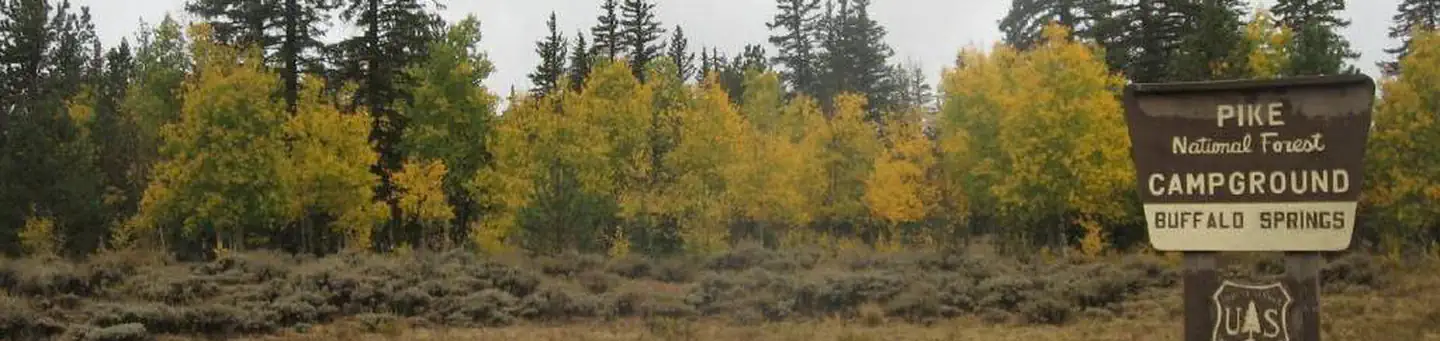 Buffalo SpringsCampground · 17 sites
Overview Buffalo Springs Campground sits on a rolling hillside in the San Isabel National Forest, providing an ideal setting for biking, hiking, horseback…
- Buffehr Creek #787Facility · not watchable
The Buffehr Creek Trail is 3.5 miles long. It begins and/or ends at Forest Road 734 and Buffeher Creek Road. For hiking, this trail starts in the town of…
- Burning Bear CampgroundCampground · 13 sites
Overview Located on the Pike and San Isabel National Forest at an elevation of 9,813 feet, Burning Bear Campground offers cooler temperatures during the hot…
- Burro #80Facility · not watchable
There are two trailheads for the Burro Trail, one starting at the base of the Peak 9 ski area at Breckenridge near Beaver Run Resort and the other starting at…
- Byers Peak TrailheadFacility · not watchable
The Byers Peak Trailhead provides access to the Byers Peak Wilderness. This is an unconventional trailhead in that hikers must travel over 1.8 miles of road…
- CDNST - Wolf Creek TrailheadFacility · not watchable
This facility consists of a large parking lot and trailhead signing right at the top of Wolf Creek Pass off US Highway 160.
- Cache la Poudre WildernessFacility · not watchable
The Cache la Poudre Wilderness, named for the river that runs at its northern edge, was added to the National Wilderness Preservation System in 1980.
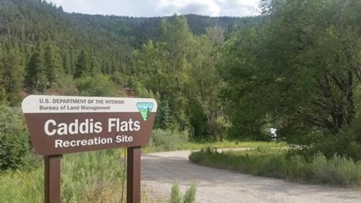 Caddis FlatsFacility · not watchable
This campground and boat launch is located between the Unaweep/Tabeguache Scenic and Historic Byway (CO145) and the San Miguel River.
- Cameron Pass Picnic SiteFacility · not watchable
This picnic site is located on the crest of Cameron Pass along Colorado Highway 14 in a subalpine forest setting with scenic views.
- Cameron Pass Winter RecreationFacility · not watchable
Cameron Pass is located around 65 miles west of Fort Collins on Highway 14. The area offers abundant winter recreation opportunities, including snowshoeing,…
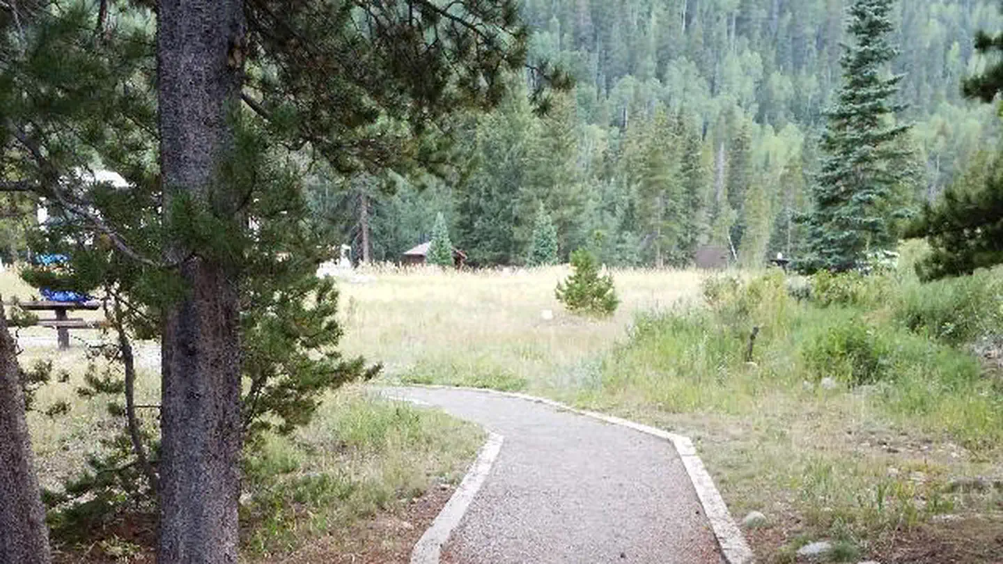 Camp DickCampground · 20 sites
Overview Camp Dick is the site of a Civilian Conservation Corps camp that was established in the 1930s.
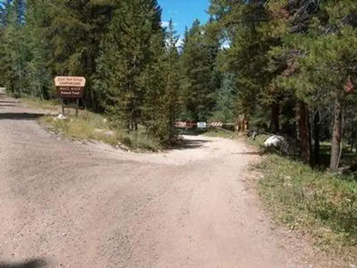 Camp Hale East Fork GroupCampground · 1 sites
Overview Located in the wide-open spaces of a lush green valley near the headwaters of the Eagle River and East Fork Eagle River, Camp Hale East Fork is the…
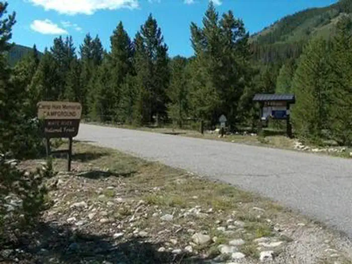 Camp Hale MemorialCampground · 21 sites
Overview Camp Hale Memorial Campground sits at an elevation of 9,200 feet, offering guests a wonderful setting for recreation and relaxation.
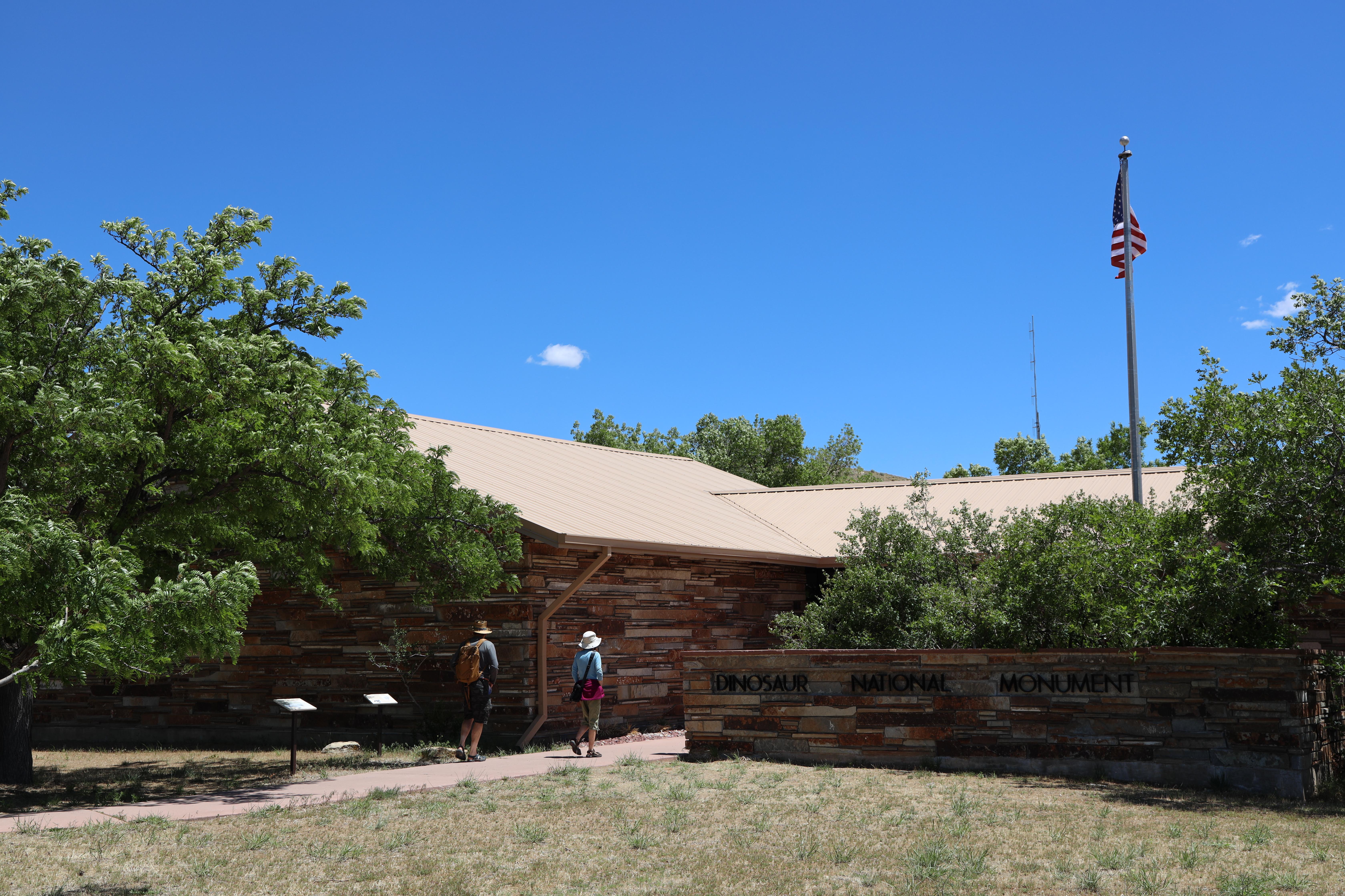 Canyon Visitor Center - ColoradoFacility · not watchable
Located near Dinosaur, Colorado, at the base of the Harpers Corner Road, the Canyon Visitor Center is the gateway to the monument's mountains and river…
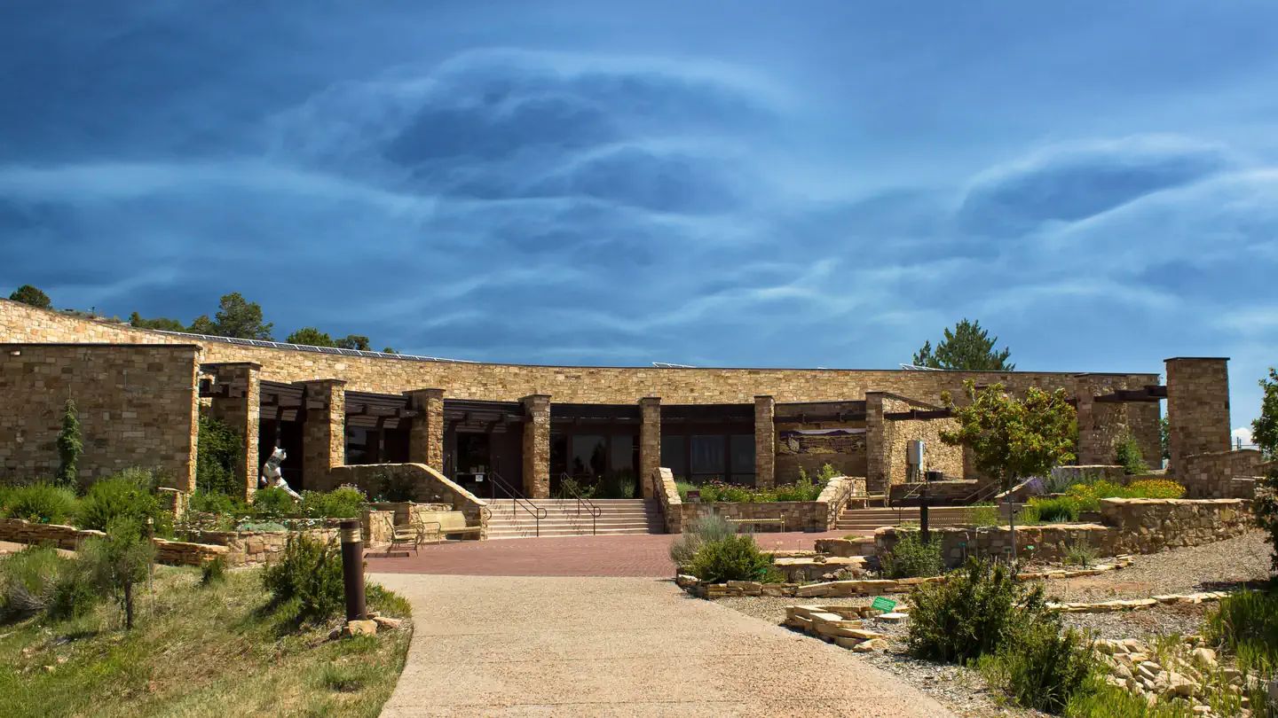 Canyons of the Ancients Museum ToursTickets
Canyons of the Ancients Visitor Center and Museum serves as headquarters to Canyons of the Ancients National Monument and is southwest Colorado's premier…
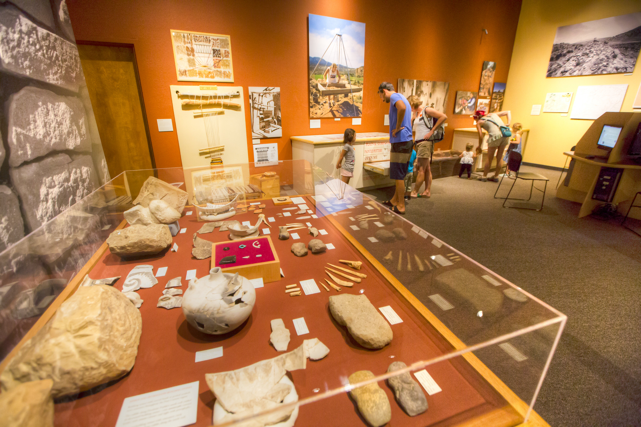 Canyons of the Ancients National Monument - Visitor Center and MuseumFacility · not watchable
The Canyons of the Ancients Visitor Center and Museum is the premier archaeological museum in Southwest Colorado and serves as the headquarters for Canyons of…
- Capitol Creek #1961Facility · not watchable
ALERT: Due to recent bear activity, bear canisters are required for all backpackers in the Maroon Bells-Snowmass Wilderness.
- Capitol Ditch #1963Facility · not watchable
ALERT: Due to recent bear activity, bear canisters are required for all backpackers in the Maroon Bells-Snowmass Wilderness.
- Captain Jack #665Facility · not watchable
This trail is certainly one of Colorado Springs’ best, offering a good climb and a fast, and somewhat technical, descent.
- Carbonate Creek #1971Facility · not watchable
ALERT: Due to recent bear activity, bear canisters are required for all backpackers in the Maroon Bells-Snowmass Wilderness.
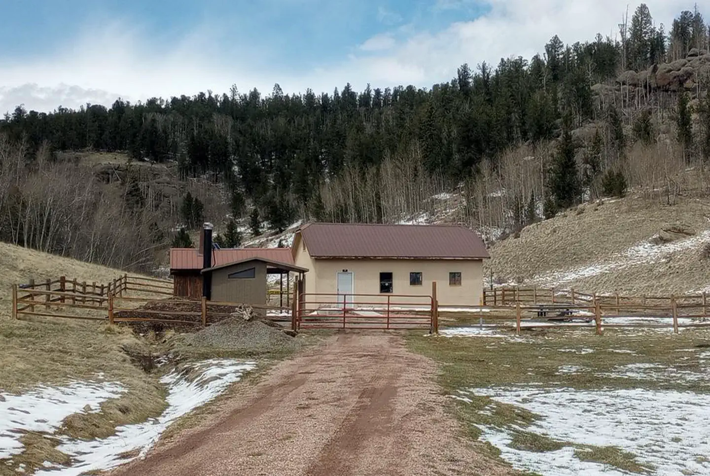 Carnero Guard StationCampground · 1 sites
Overview Carnero Guard Station is situated in a high open meadow surrounded by forest at an elevation of 9,840 feet.
- Carrizo Canyon Picnic AreaFacility · not watchable
Carrizo Canyon:The east fork of Carrizo Creek flows through this small canyon graced by juniper and cottonwood trees. American Indian petroglyphs can be found…
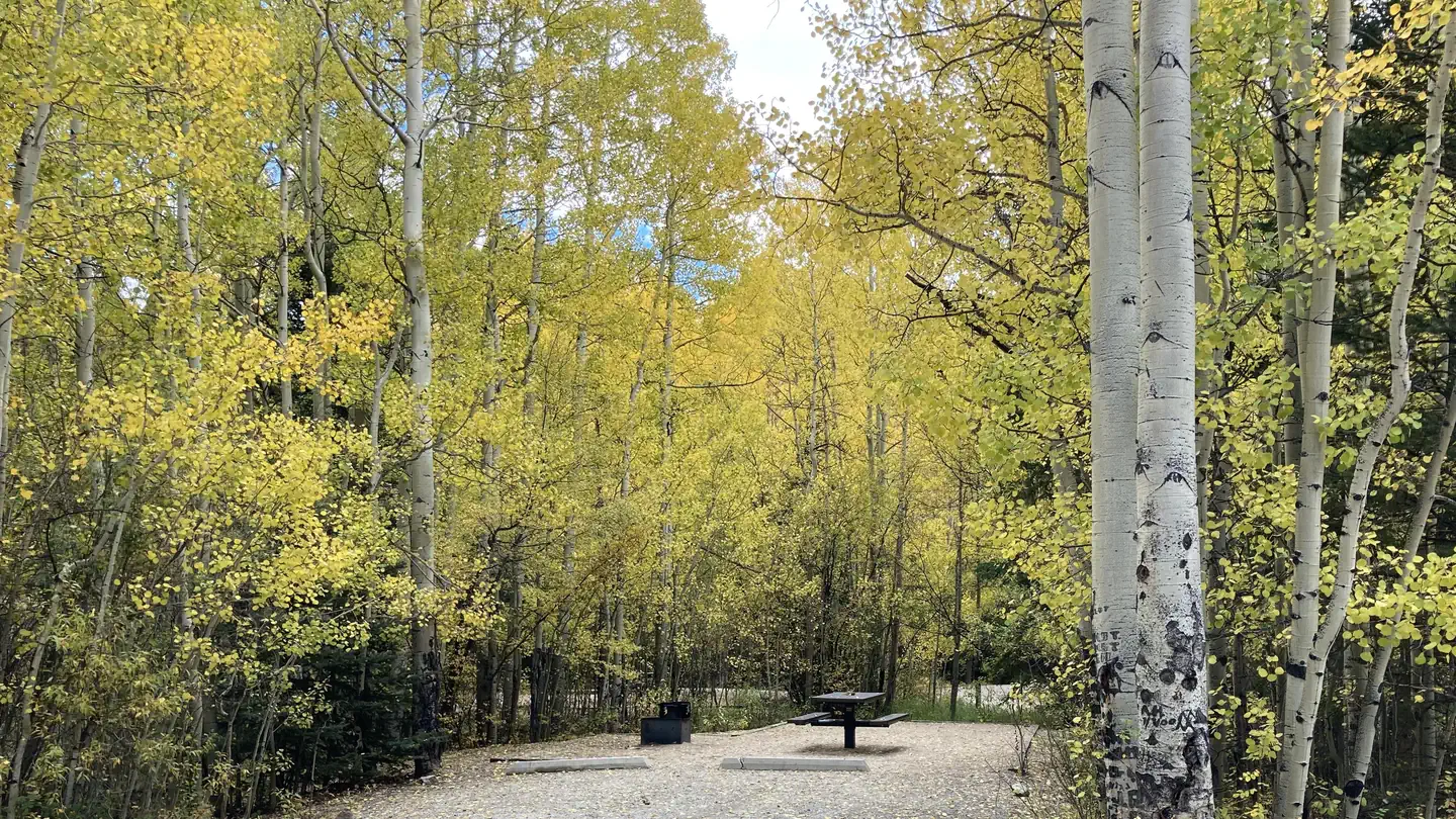 Cascade (Colorado)Campground · 21 sites
Overview Cascade Campground is located in beautiful Chaffee County, Colorado. This popular facility sits near Cascade Falls and is within 5 miles of a private…
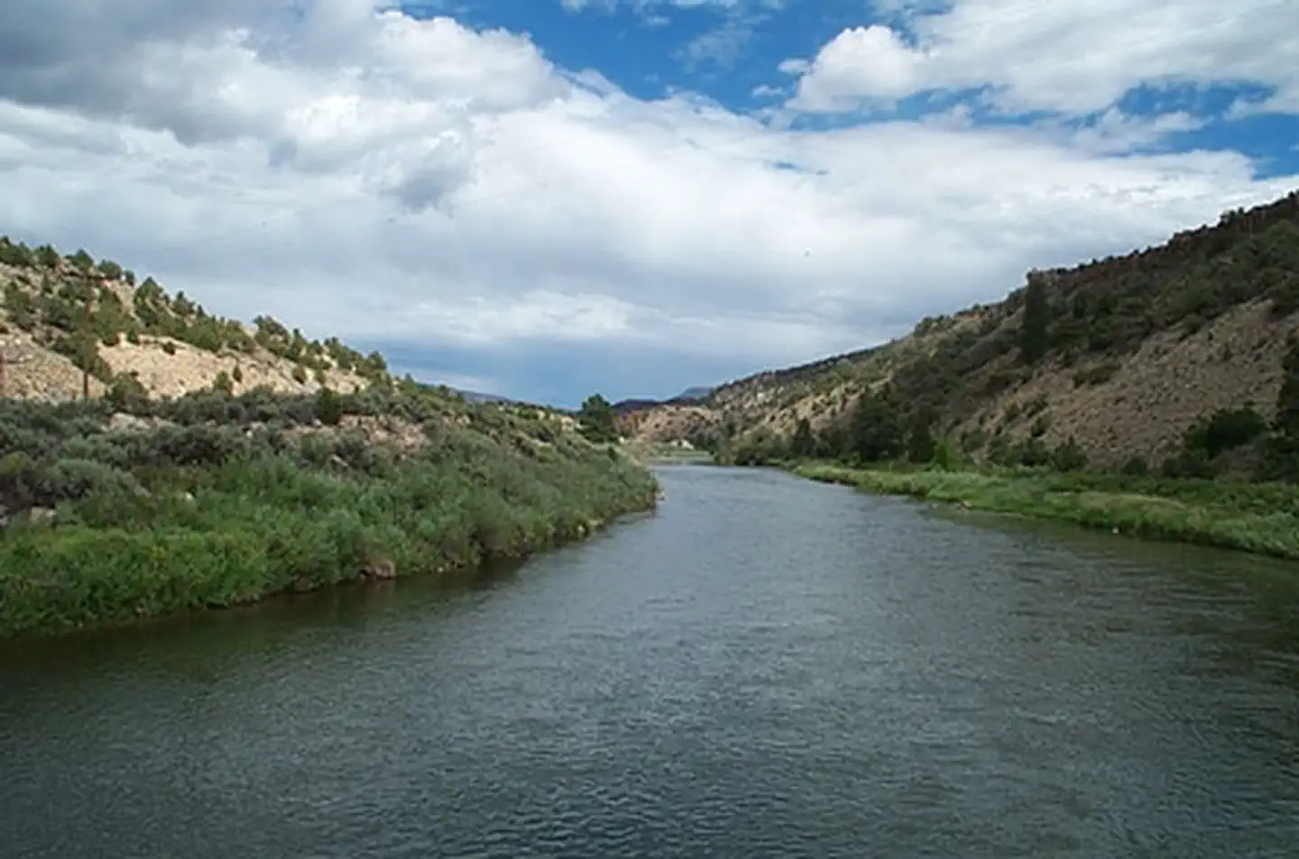 Catamount Bridge Boat LaunchFacility · not watchable
Catamount Campground and River Access provides a concrete boat ramp, five campsites and vault toilets.
- Cattle Creek #1909Facility · not watchable
The trail travels through aspens and meadows with patches of spruce and fir. It is hard to follow at times so be sure and carry a compass and map.
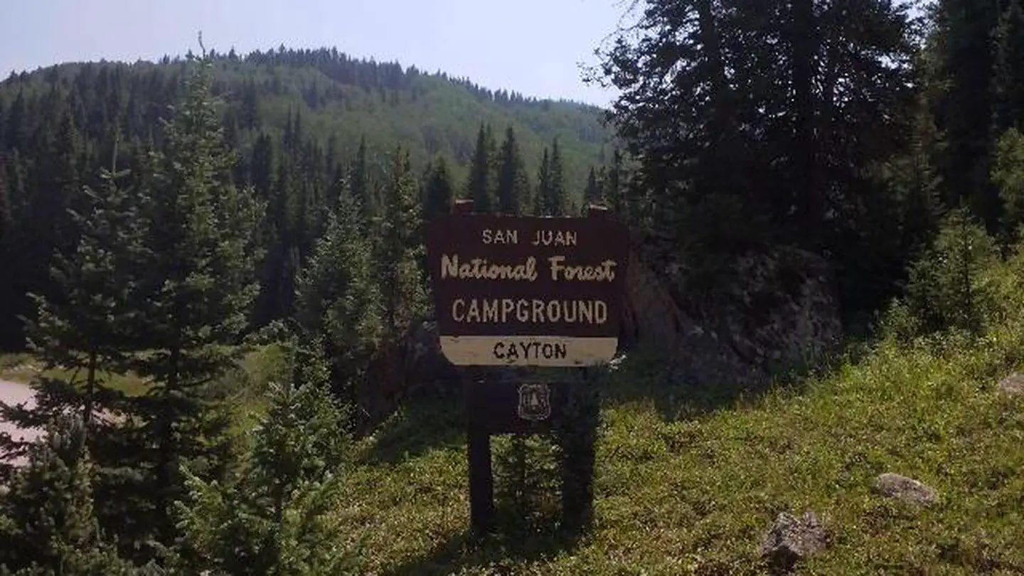 Cayton CampgroundCampground · 27 sites
Overview Cayton Campground is located along the San Juan Skyway (Colorado Highway 145) and the Dolores River.
- Cedar MountainFacility · not watchable
The Cedar Mountain Special Recreation Management Area (SRMA) consists of 880 acres of public lands administered by the Department of the Interior, Bureau of…
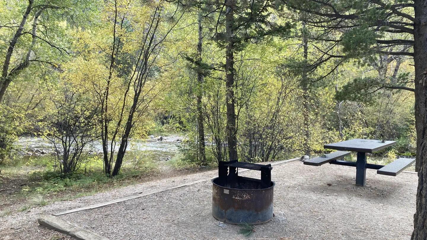 Chalk LakeCampground · 19 sites
Overview Chalk Lake Campground is located in beautiful Chaffee County, Colorado. This popular facility sits near Chalk Lake and is within 4 miles of a private…
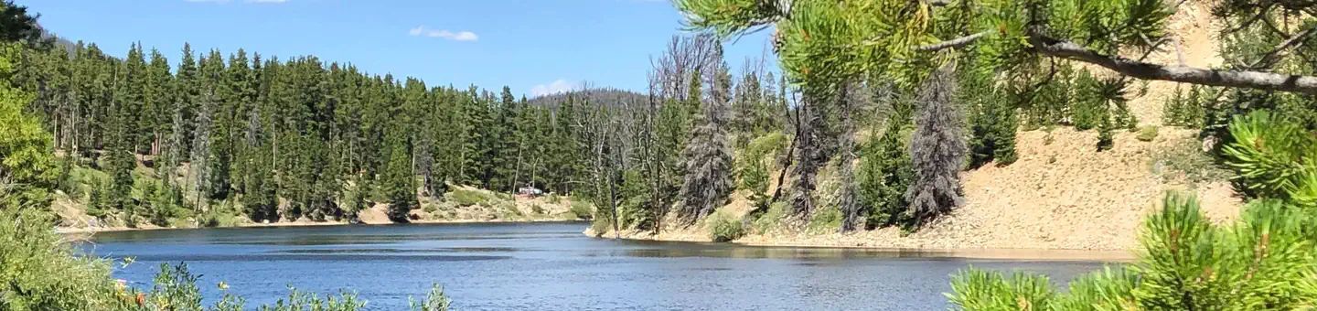 Chambers LakeCampground · 50 sites
Overview Chambers Lake Campground is located approximately 60 miles north of Fort Collins, Colo., on beautiful Chambers Lake.
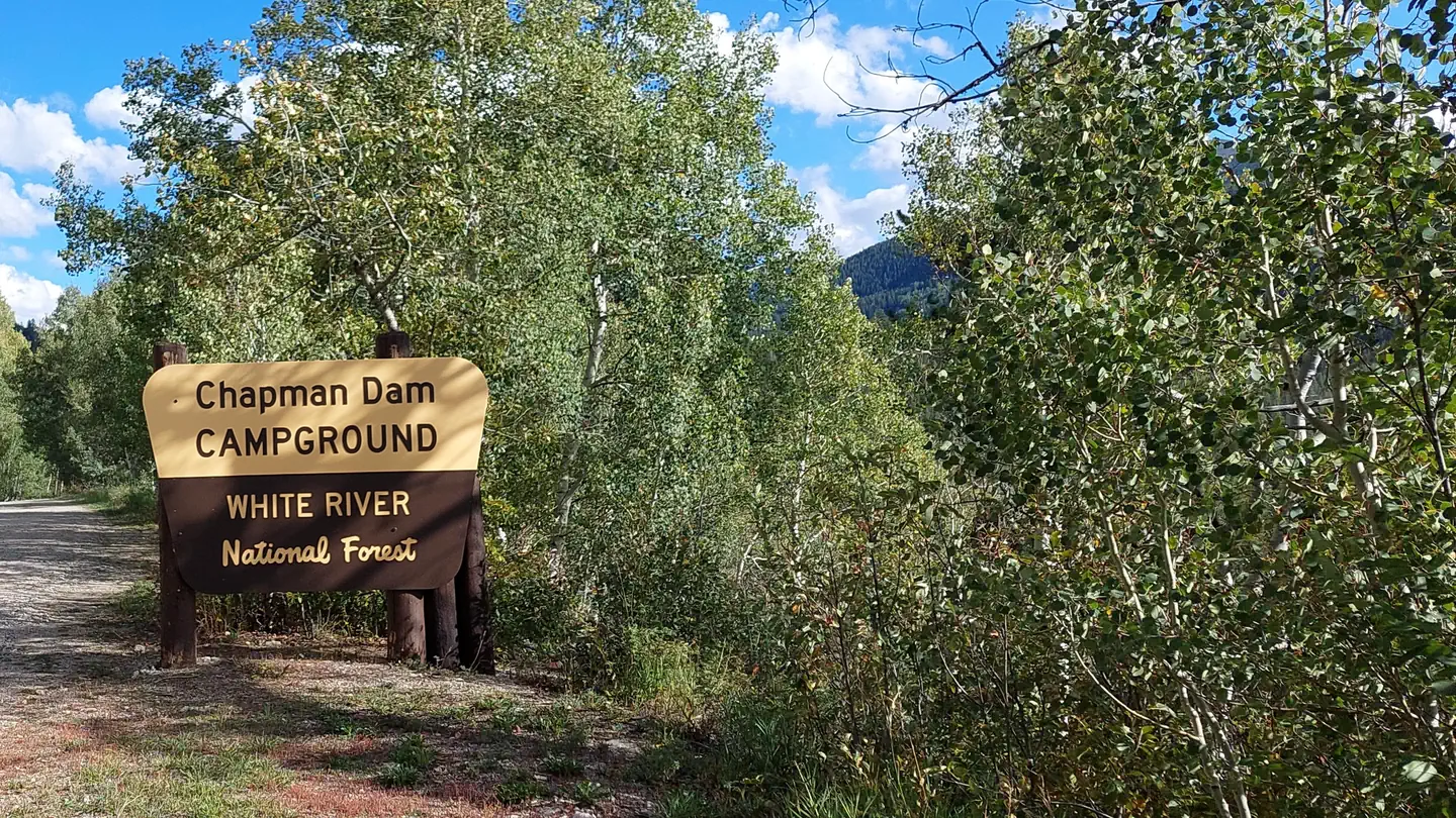 Chapman Campground and GroupCampground · 76 sites
Overview Situated above the Ruedi Reservoir, Chapman Campground sits at the base of a wide valley adjacent to the Fryingpan River in White River National…
- Chapman Gulch #1920Facility · not watchable
The first 2 miles of this trail are well marked and maintained. The remainder of the trail is not maintained and hard to find.
- Cheesman Canyon TrailheadFacility · not watchable
The Cheesman Canyon Trailhead is located along Jefferson County Route 126, approximately 22 miles from south of Pine Junction from US Highway 285.
 Chimney Rock National MonumentTickets
Overview: Chimney Rock lies within the San Juan National Forest, between Durango and Pagosa Springs in southwestern Colorado.
- Chinese Wall #1803Facility · not watchable
Chinese Wall Trail #1803 begins near the summit of Ripple Creek Pass. After 1 mile, the trail enters the Flat Tops Wilderness. It then continues 2 miles to…
 Chris ParkCampground · 3 sites
Overview Chris Park is located near Haviland Lake in southwestern Colorado, 18 miles north of Durango.
- Cimarron National GrasslandFacility · not watchable
Welcome to the Cimarron National Grassland, one of twenty National Grasslands administered by the U.S. Department of Agriculture, Forest Service.
- Cimarron Recreation AreaFacility · not watchable
The Cimarron Recreation Area includes the Cimarron Campground, Cimarron Picnic Area, Cimarron Group Site and Cimarron Ponds.
- Clear Creek Picnic SiteFacility · not watchable
The Clear Creek Picnic Site is located along Highway 40 in a spruce and fir forest setting with scenic views.
- Clear Lake Picnic SiteFacility · not watchable
The Clear Lake Picnic Site is located along the Guanella Pass Road. Facilities: Each site is equipped with a picnic table and fire grate.
- Cleveland Quarry Rec SiteFacility · not watchable
Cleveland Quarry is part of the Garden Park Fossil Area and birthplace of modern paleontology.
- Cloyses CabinFacility · not watchable
The Cloyses Cabin was struck by lightning and has burned down. It was located near Winfield, Colorado surrounded by the Collegiate Peaks Wilderness.
- Coaldale CampgroundCampground · not watchable
Coaldale Campground is located on the banks of Hayden Creek and is a quiet campground with only 10 campsites.
- Cobbett LakeCampground · 20 sites
Overview Cobbett Lake Campground is located on Colorado's Grand Mesa, in the Land O' Lakes area, which is home to more than 300 lakes.
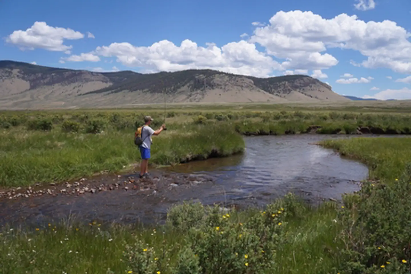 Cochetopa Creek Rec SiteFacility · not watchable
This scenic recreation area is a destination perfect for a day of fishing. The dense vegetation and steep canyon walls that line Cochetopa Creek provide a calm…
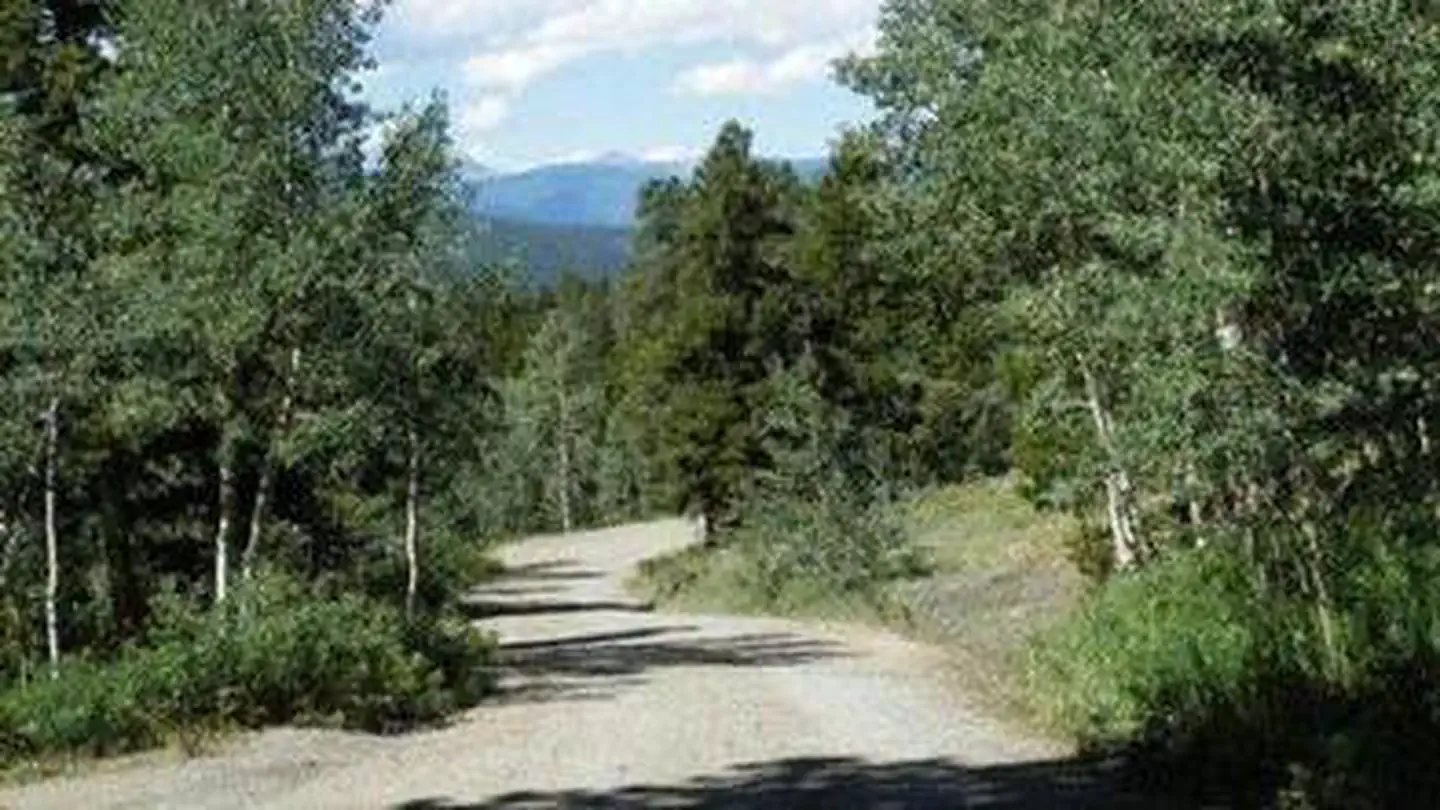 Cold Springs - Arapaho Roosevelt NF (CO)Campground · 40 sites
Overview Cold Springs Campground is located on the Arapaho Roosevelt National Forest, north of Blackhawk on the Peak to Peak Scenic Byway/Highway 119, in north…
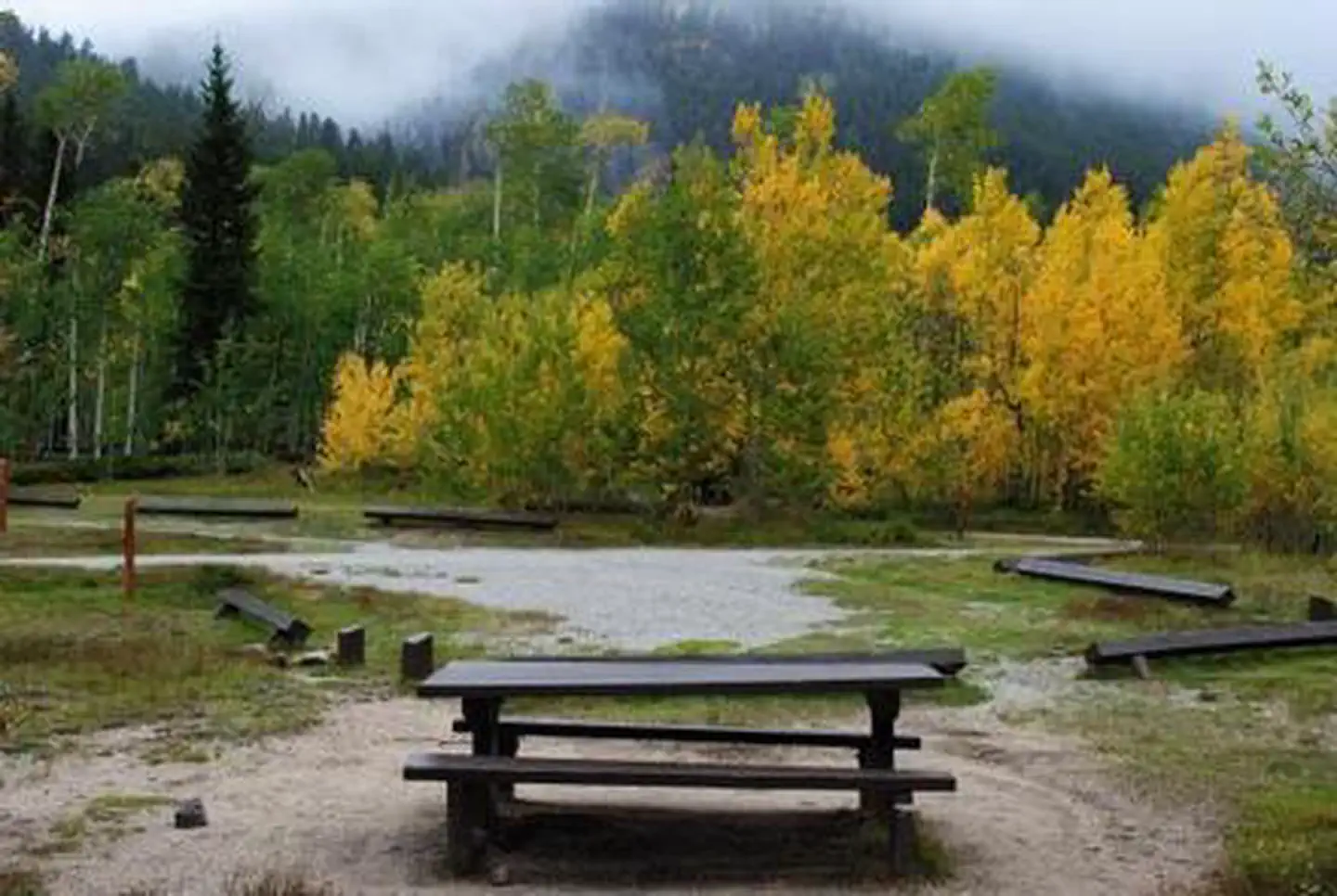 Collegiate PeaksCampground · 56 sites
Overview Collegiate Peaks Campground is located 11 miles west of Buena Vista, Colorado, along Middle Cottonwood Creek near the top of Cottonwood Pass.
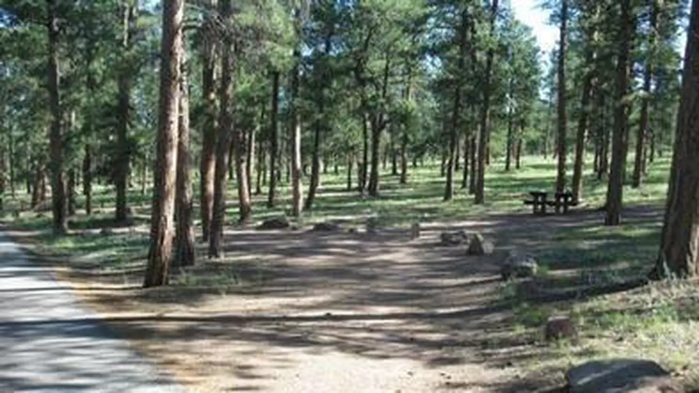 Colorado CampgroundCampground · 79 sites
Overview Colorado Campground is a favorite family destination near Manitou Lake Picnic Area north of the town of Woodland Park.
- Colorado Trail #1776 (Avalanche Trailhead)Facility · not watchable
The Avalanche trailhead is a major access point for the Colorado Trail (#1776) near Buena Vista, Colorado.
 Columbine CampgroundCampground · 46 sites
Overview Columbine Campground is located just off the Peak to Peak Scenic Byway/Highway 119, west of Denver, in north central Colorado.
- Comanche Peak WildernessFacility · not watchable
Comanche Peak Wilderness, named for its prominent 12,702 foot peak, was added to the National Wilderness Preservation System by the United States Congress in…
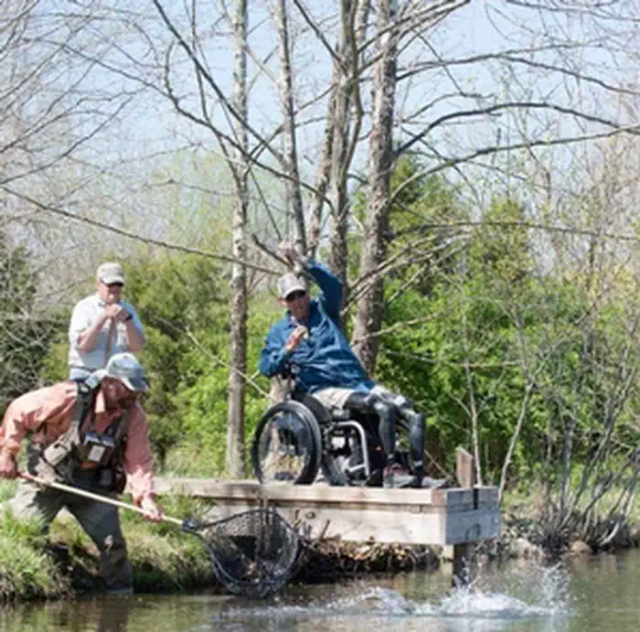 Confluence River AccessFacility · not watchable
This site is located on the south bank of the Colorado River at the confluence of the Colorado and Blue rivers, near the Town of Kremmling.
- Copper Creek TrailheadFacility · not watchable
This high altitude trailhead sits at the end of Middle Creek Road 524. The facility consists of a turnaround loop, parking lot and trailhead signing.
- Corral Creek #41Facility · not watchable
The Corral Creek Trail starts at Vail Pass and takes you through a valley and then starts to climb into the Eagles Nest Wilderness Area.
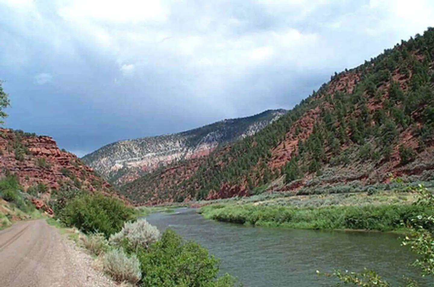 Cottonwood SiteFacility · not watchable
Cottonwood Island is located on the Colorado River and has a boat ramp and picnic site.
 Cove CampgroundCampground · 4 sites
Overview Cove Campground is a small, primitive campground ideal for anglers and rock climbers, nestled in the Eleven Mile Canyon along the South Platte River.
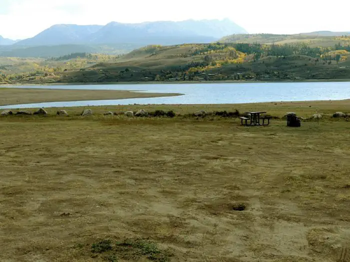 Cow Creek North (CO)Campground · 5 sites
Overview Cow Creek North Campground is on the northeast shores of Green Mountain Reservoir in White River National Forest, offering an ideal setting for…
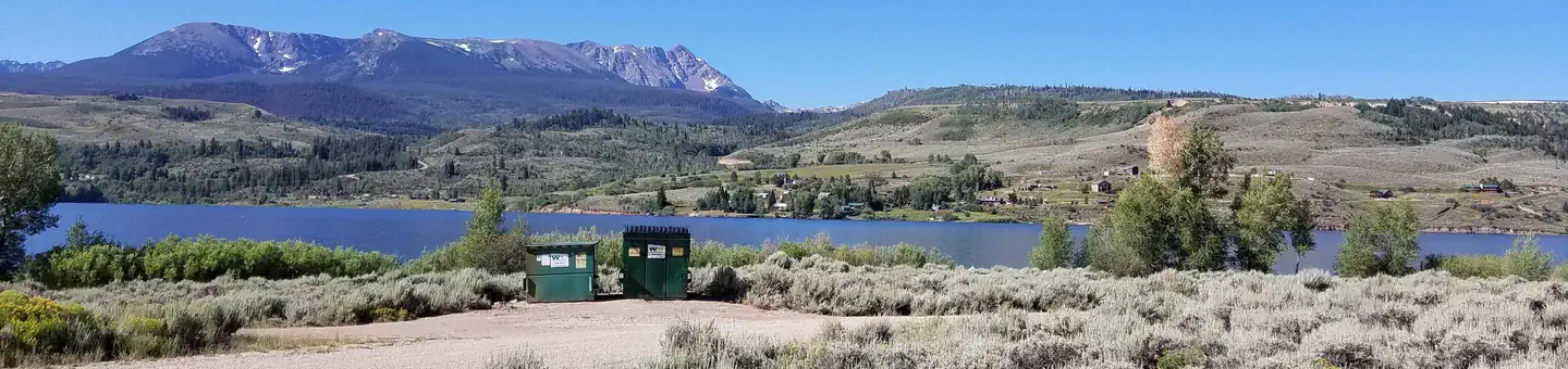 Cow Creek SouthCampground · 43 sites
Overview Cow Creek South Campground is located on the northeast shore of Green Mountain Reservoir in White River National Forest, offering an ideal setting for…
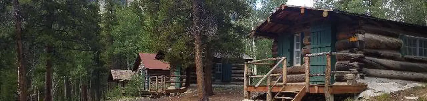 Crescent Mining CampCampground · 1 sites
Overview Cabin campers can escape the city - and escape modern day amenities - by staying at the fully rustic, historic Crescent Mining Camp cabins.
- Cross Creek #1855Facility · not watchable
The Cross Creek trail begins at Ute - DeepTrail #2031 and ends at Sweetwater Trail #1854.
- Cross Mountain TrailheadFacility · not watchable
9700-foot elevation. 10 campsites on the Alamosa River. The fishing is not great here, because the water is too acidic.
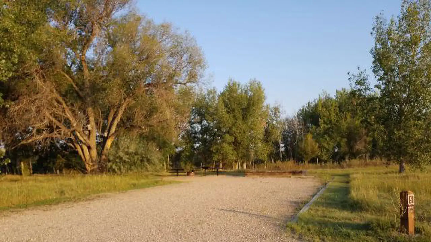 Crow ValleyCampground · 15 sites
Overview Crow Valley Recreation Area is set in the Pawnee National Grassland, a very popular site with bird enthusiasts.
- Crow Valley Recreation AreaFacility · not watchable
Crow Valley Recreation Area is set in the Pawnee National Grassland, a very popular site with bird enthusiasts. Over 200 species can be found in the area.
- Crystal Lakes #44Facility · not watchable
This area has beautiful alpine scenery with views of the Tenmile Range. A 4WD road leads to Lower Crystal Lake and then a hiking trail continues for…
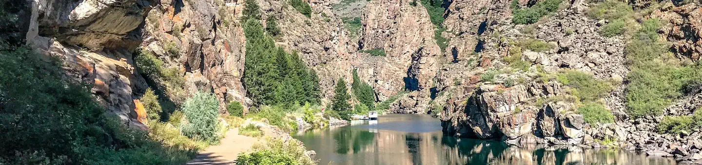 Curecanti National Recreation Area ToursTickets
Explore the Black Canyon of the Gunnison with a park ranger on the famous Morrow Point boat tour.
 Cutthroat Bay GroupCampground · 2 sites
Overview Cutthroat Bay Group Campground is located on Lake Granby, six miles southeast of Grand Lake in north central Colorado.
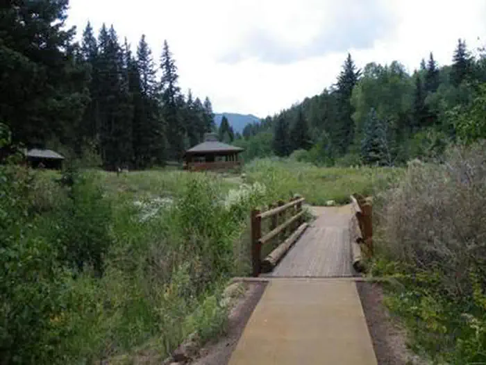 Davenport CampgroundCampground · 12 sites
Overview Davenport Campground was one of the first Forest Service campgrounds, and is near the now-abandoned Squirrel Creek Campground, the very first Forest…
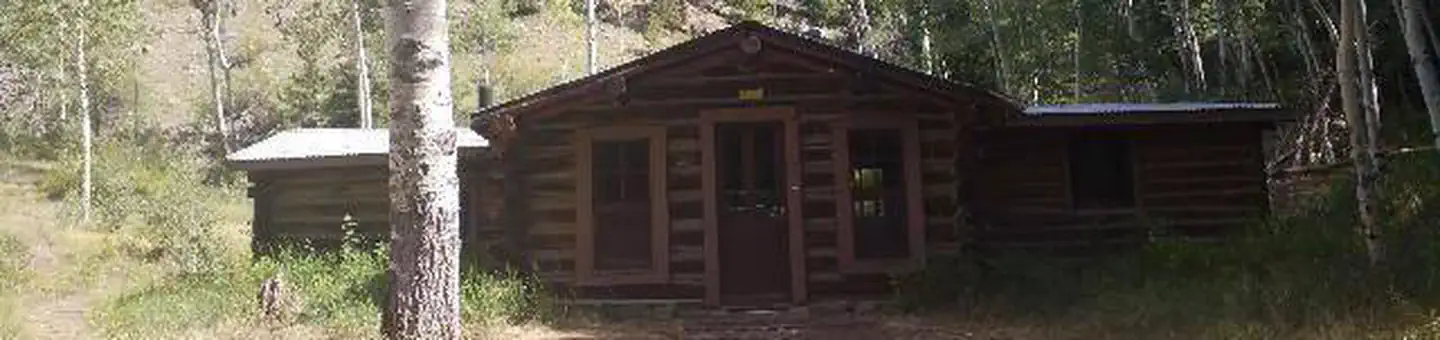 Dawson CabinCampground · 1 sites
Overview Dawson Cabin provides campers with a rustic, remote getaway in the beautiful Clear Creek Canyon.
- Dead Dog #2220Facility · not watchable
The Dead Dog trail begins 0.8 miles up the East Lake Creek Trail #1880 and ends after another 4.3 miles at Middle Lake Trail #2223: The trail begins in an…
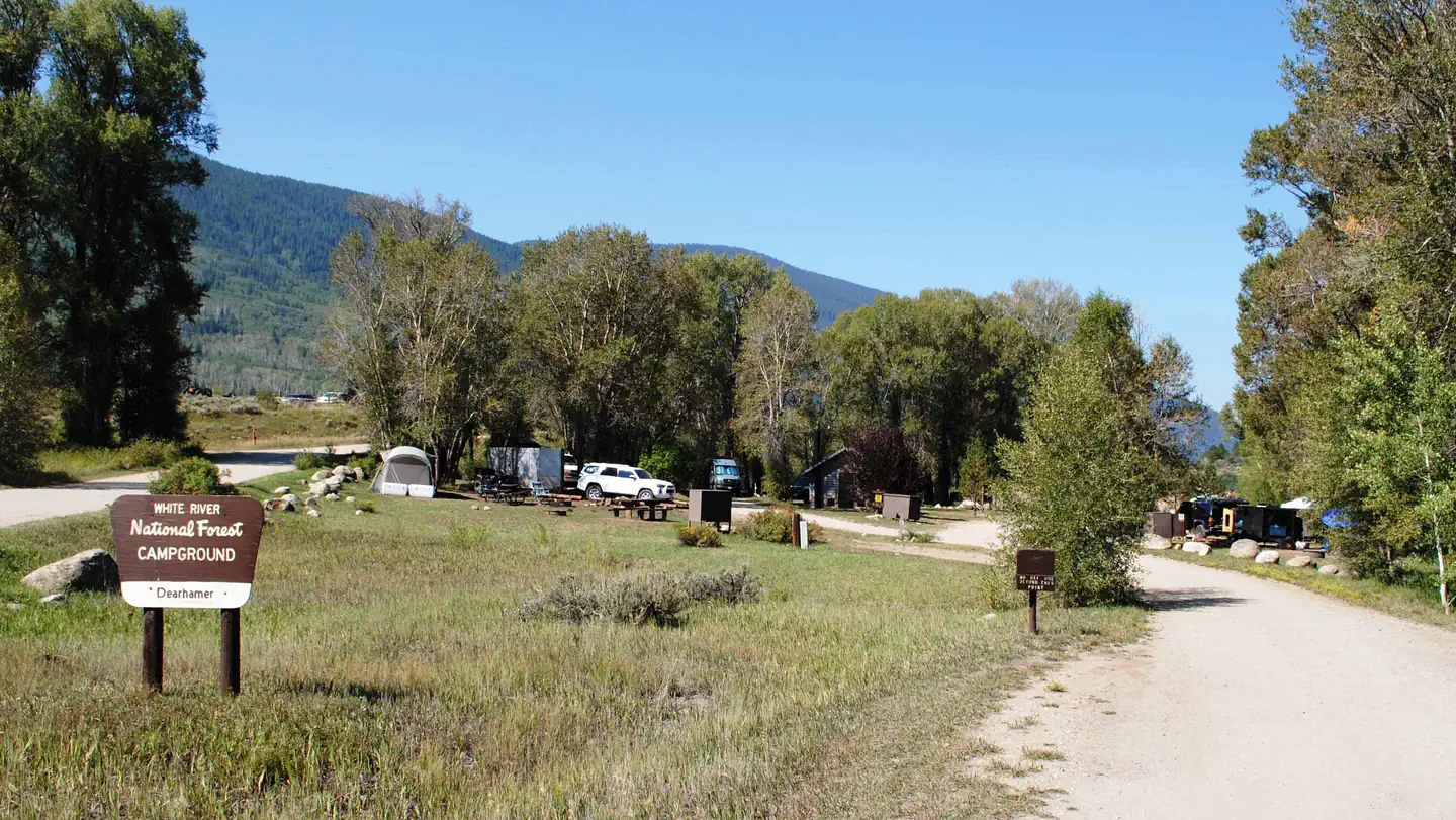 Dearhamer CampgroundCampground · 12 sites
Overview Located approximately 22 miles east of Basalt, Colorado, in the White River National Forest, Dearhamer Campground sits adjacent to the Fryingpan River…
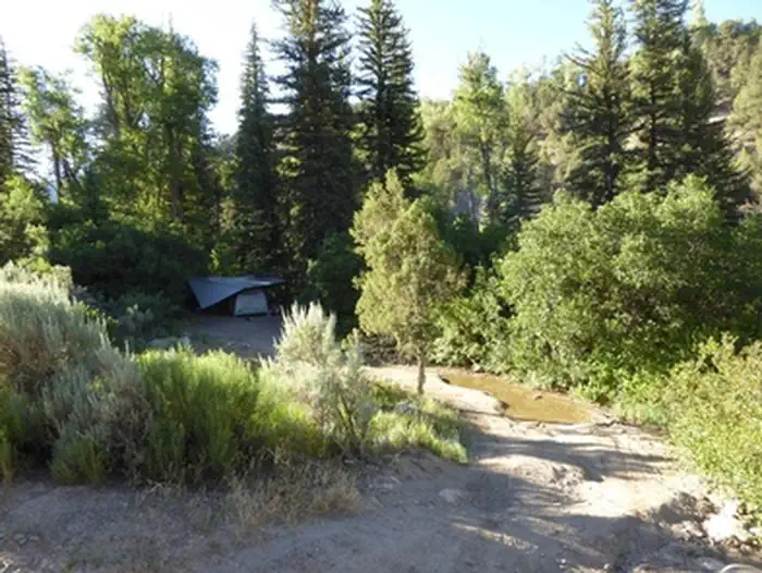 Deep Creek Day Use AreaFacility · not watchable
Deep Creek canyon has outstanding scenic qualities related to the sheer-walled canyon, water resources, and riparian vegetation.
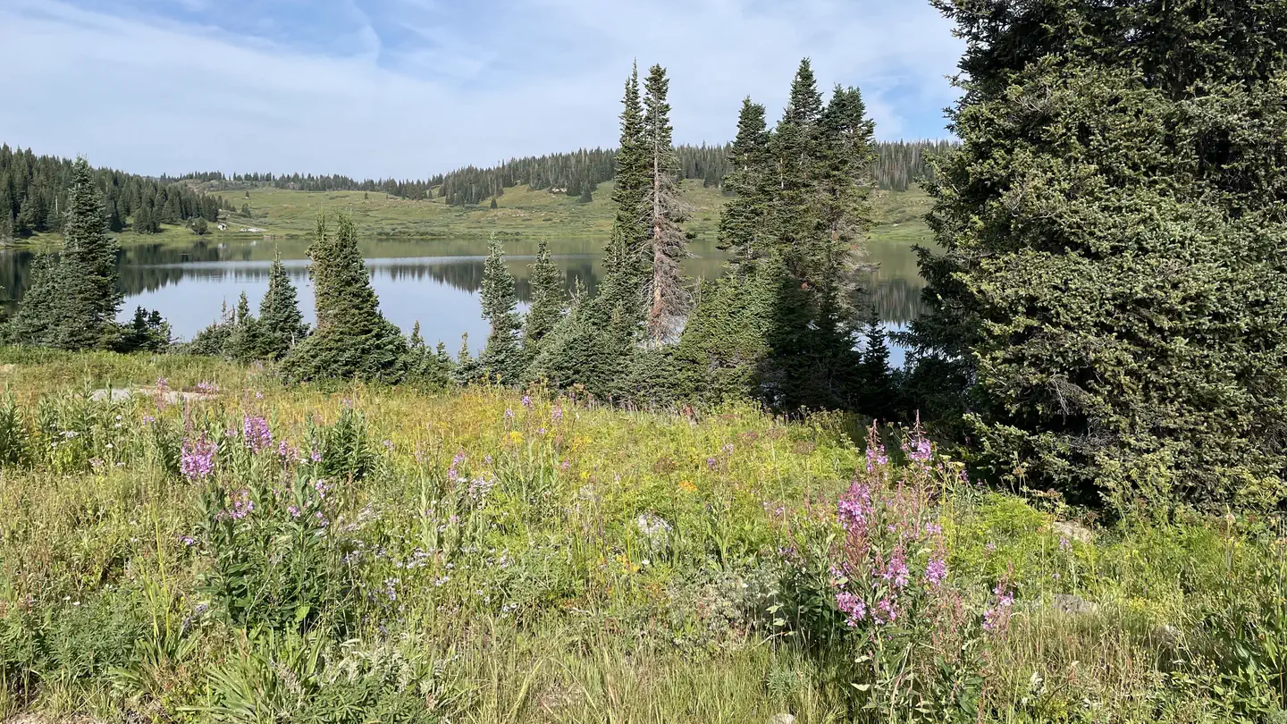 Deep Lake CampgroundCampground · 29 sites
Overview At 10,500 feet, Deep Lake Campground lies on top of the vast White River Plateau.
- Deer Creek TrailheadFacility · not watchable
From the Deer Creek Trailhead, the Tanglewood Trail (#636) and Rosalie Trail (#603) go west and north up the Tanglewood Creek drainage to a junction just…
- Deer Lake #1802Facility · not watchable
The Deer Lake Trail connects Island Lakes Trail #1842 to Chinese Wall Trail #1803.
- Deer Lakes Day Use Area / Fishing SiteFacility · not watchable
This site is located near Deer Lakes and provides fishing access for great fishing in a beautiful location.
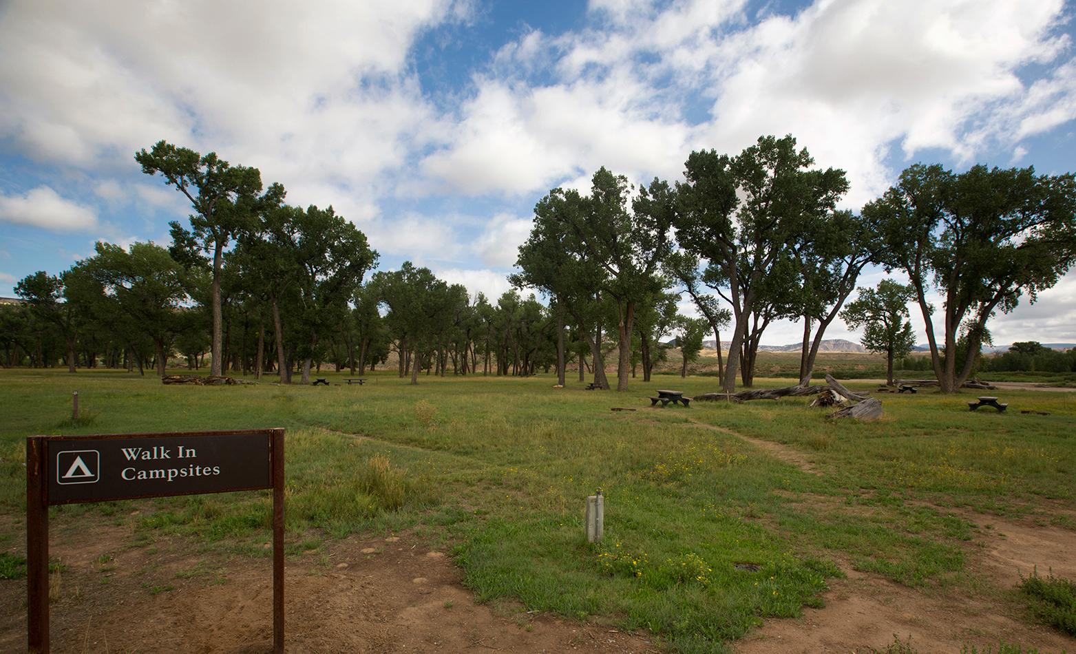 Deerlodge Park CampgroundCampground · not watchable
Deerlodge Park Campground is located 51 miles (82 km) east of the Canyon Visitor Center.
- Deluge Lake #2014Facility · not watchable
The Deluge Lake trail begins near East Vail and ends at Deluge Lake: The trail traverses a steep, sunny, south-facing hillside for about 3 miles before turning…
- Dexter Point Boating SiteFacility · not watchable
ALERT: The Twin Lakes boat ramp will not open May 17th as planned, and will remain closed until the water level rises.
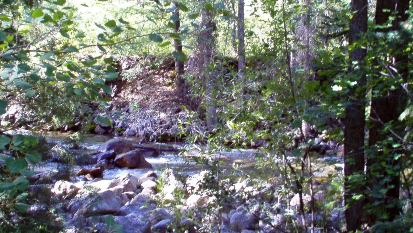 Difficult CampgroundCampground · 47 sites
Overview Located 5 miles southeast of Aspen, Colorado, Difficult Campground sits on the banks of the Roaring Fork River on the western slope of the Colorado…
- Dikeside Boating SiteFacility · not watchable
This boating site is located on Rampart Reservoir. Swimming, wading, and all body contact with the water in the reservoir is prohibited.
- Dinner StationCampground · 14 sites
Overview Dinner Station, a historic stop along an old stagecoach route from Aspen, is located in the Upper Taylor Park area, next to the Taylor River.
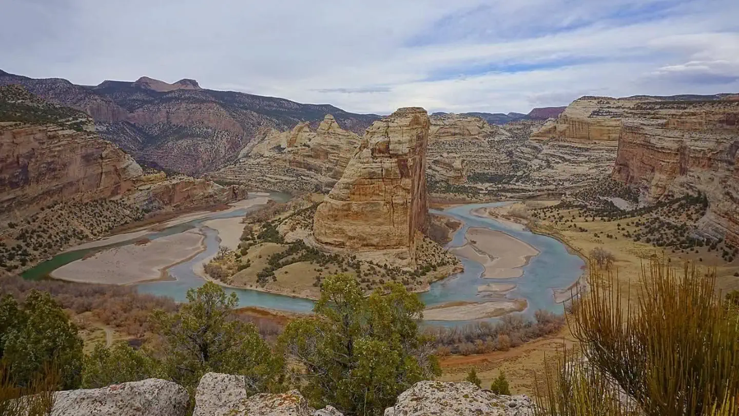 Dinosaur Green And Yampa River PermitsPermit
Overview: Welcome to the river permit lottery application site for Dinosaur National Monument-home to the Green and Yampa Rivers, two of the west's premier…
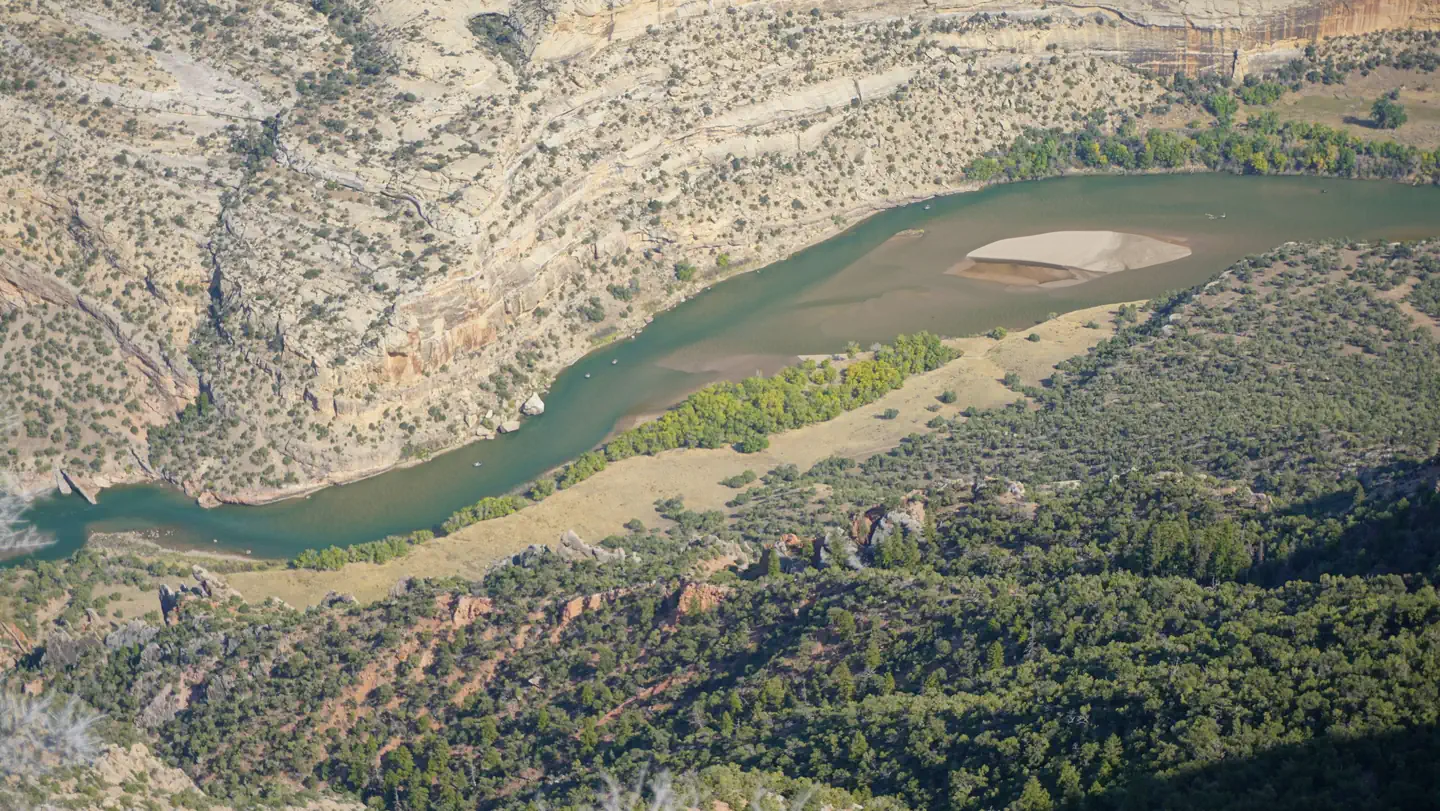 Dinosaur National Monument - Split Mountain PermitsPermit
Overview: Welcome to the Split Mountain daily section permit site for Dinosaur National Monument -- home to the Green and Yampa Rivers, two of the west's…
- Dispersed-White RiverFacility · not watchable
Extensive public lands through the White River Field Office provide outstanding opportunities for big game hunting and dispersed camping.
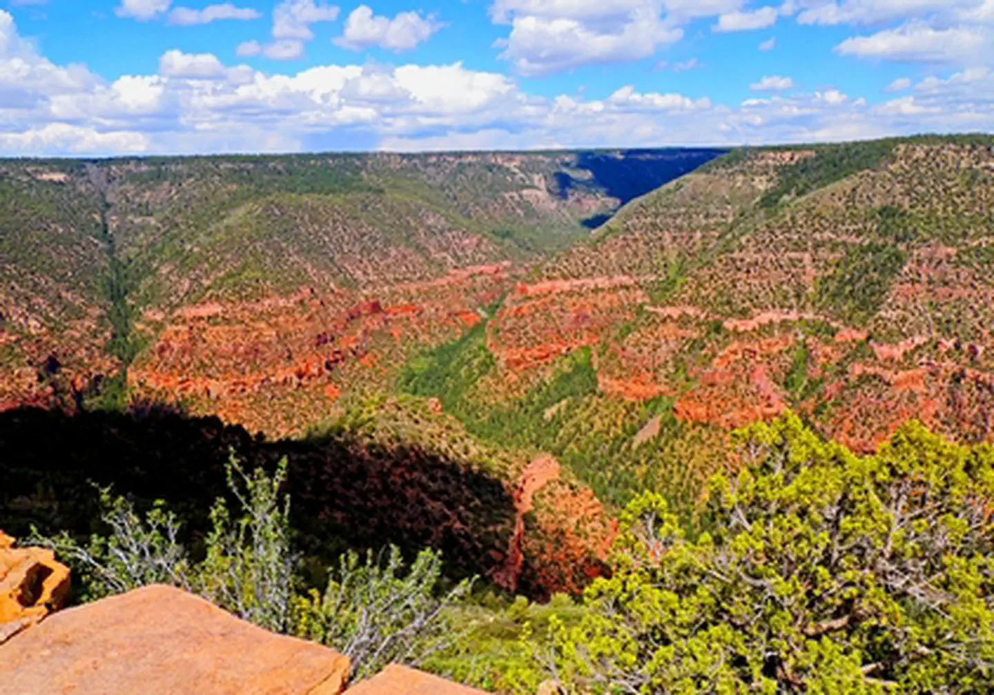 Dolores River OverlookFacility · not watchable
The Dolores River Overlook has 6 individual walk-in camp/picnic sites, as well as one walk-in group site (3 tables and rings).
- Dotsero Crater Rec SiteFacility · not watchable
Dotsero Crater is a 700-meter wide by 400-meter deep maar volcano located in Dotsero, Colorado near the junction of the Colorado River and the Eagle River.
 Dowdy LakeCampground · 62 sites
Overview Dowdy Lake Campground is located 48 miles northwest of Fort Collins, Colo., near the village of Red Feather Lakes.
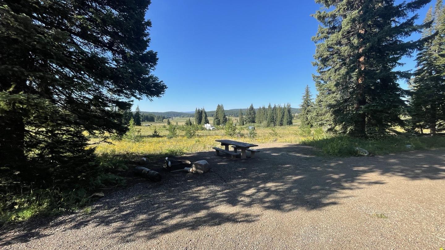 Dumont CampgroundCampground · 21 sites
Overview With spectacular scenery and lake access, Dumont Campground is a paradise for birders, wildflower seekers, fishermen and outdoor enthusiasts.
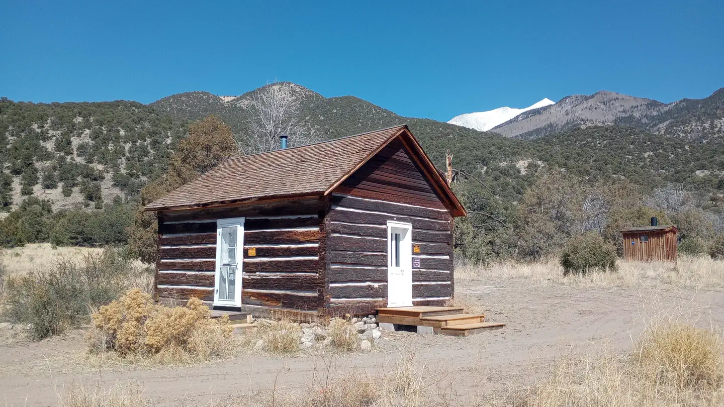 Duncan CabinCampground · 1 sites
Overview The cabin was constructed in the 1880s. The cabin sits 8,120 feet above sea level beside a small dry stream‐bed.
- E. Cross Mountain River AccessFacility · not watchable
Visitors should be aware that rough roads may exist. The improved site has a vault toilet, parking, picnic sites and boat ramp.
- Eagles Nest WildernessFacility · not watchable
The United States Congress designated the Eagles Nest Wilderness (map) in 1976 and it now has a total of 133,496 acres.
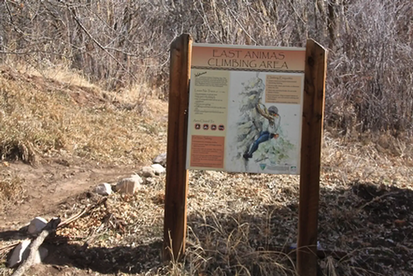 East Animas/Turtle Lake RMZFacility · not watchable
East Animas/ Turtle Lake provides great rock climbing opportunities close to town. It is located north of Durango and right off of the road.
- East Bellows Trailhead # 790Facility · not watchable
This trail provides good hiking and horseback access to Wheeler Geologic Area, Halfmoon Pass and the La Garita Wilderness. Beautiful views and unique…
- East Creek-Gift Creek #1963Facility · not watchable
ALERT: Due to recent bear activity, bear canisters are required for all backpackers in the Maroon Bells-Snowmass Wilderness.
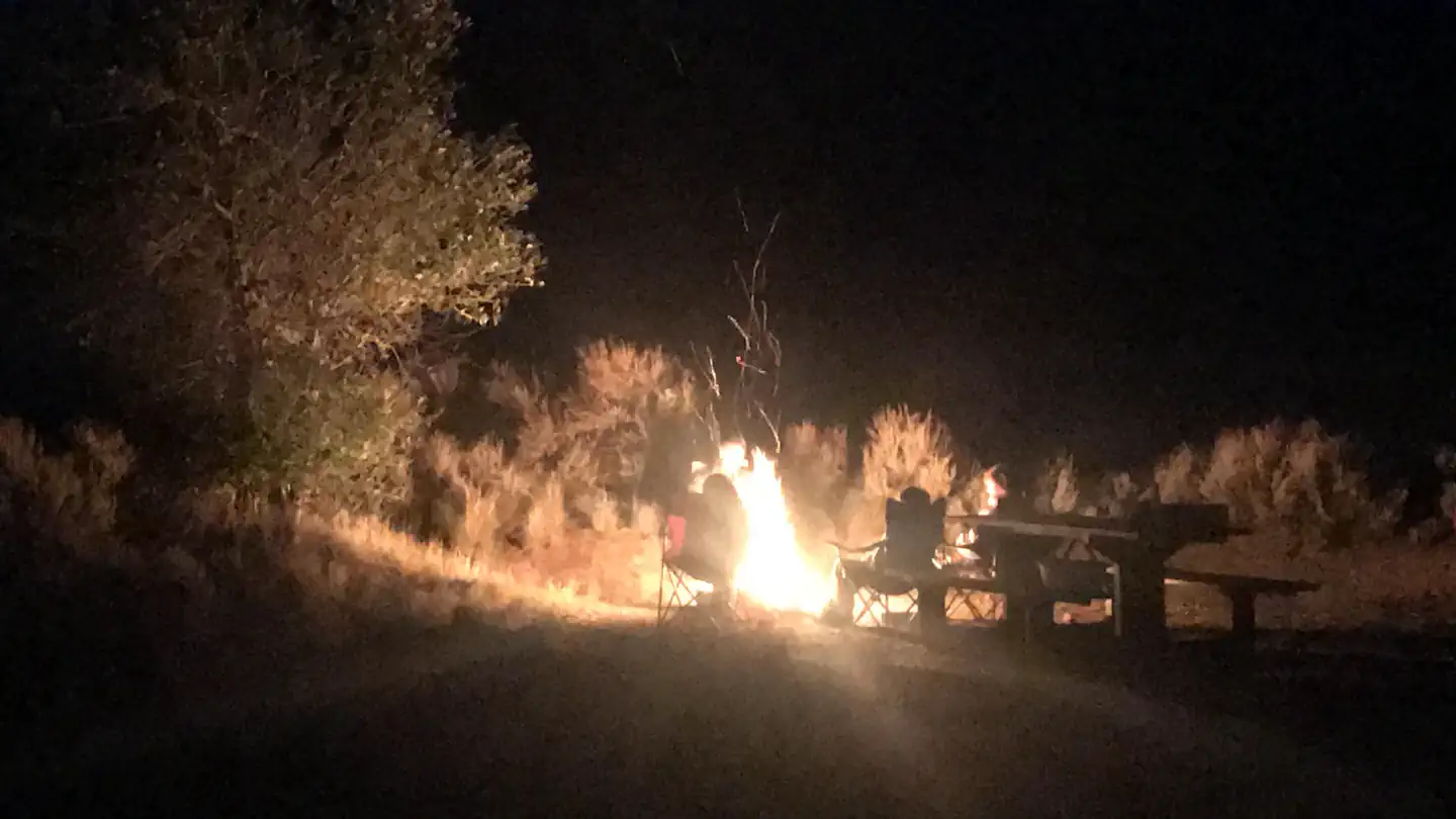 East Elk Creek Group CampsiteCampground · 1 sites
Overview Invite family and friends to East Elk for an active group camping experience surrounded by rugged and stark mountains.
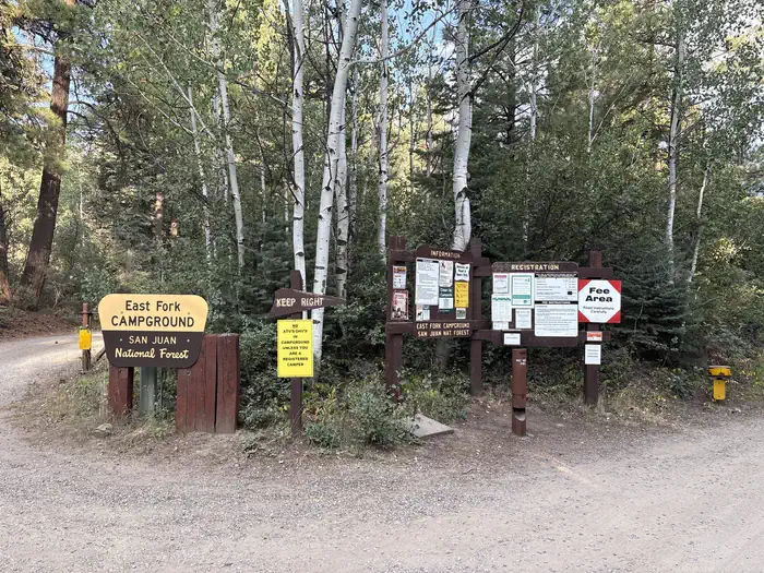 East Fork Campground (San Juan NF - CO)Campground · 25 sites
Overview East Fork Campground is located 11 miles northeast of Pagosa Springs, just off U.S. Highway 160, along the East Fork Road.
- East Lake Creek #1880Facility · not watchable
The East Lake Creek trail begins at West Lake Creek Road and ends at Upper Camp Lake.
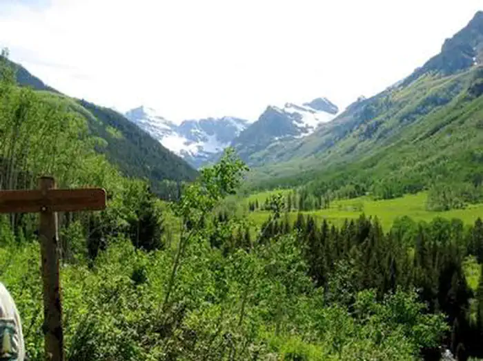 East Maroon Portal Picnic SiteCampground · 2 sites
Overview East Maroon Portal Picnic Site is situated next to Maroon Creek, offering spectacular views of towering red stone cliffs, lush wetlands and evergreen…
- East MarvineCampground · 10 sites
Overview Set in a towering grove of mixed conifer and aspen trees on the western slope of the Colorado Rockies at an elevation of 8,200 feet.
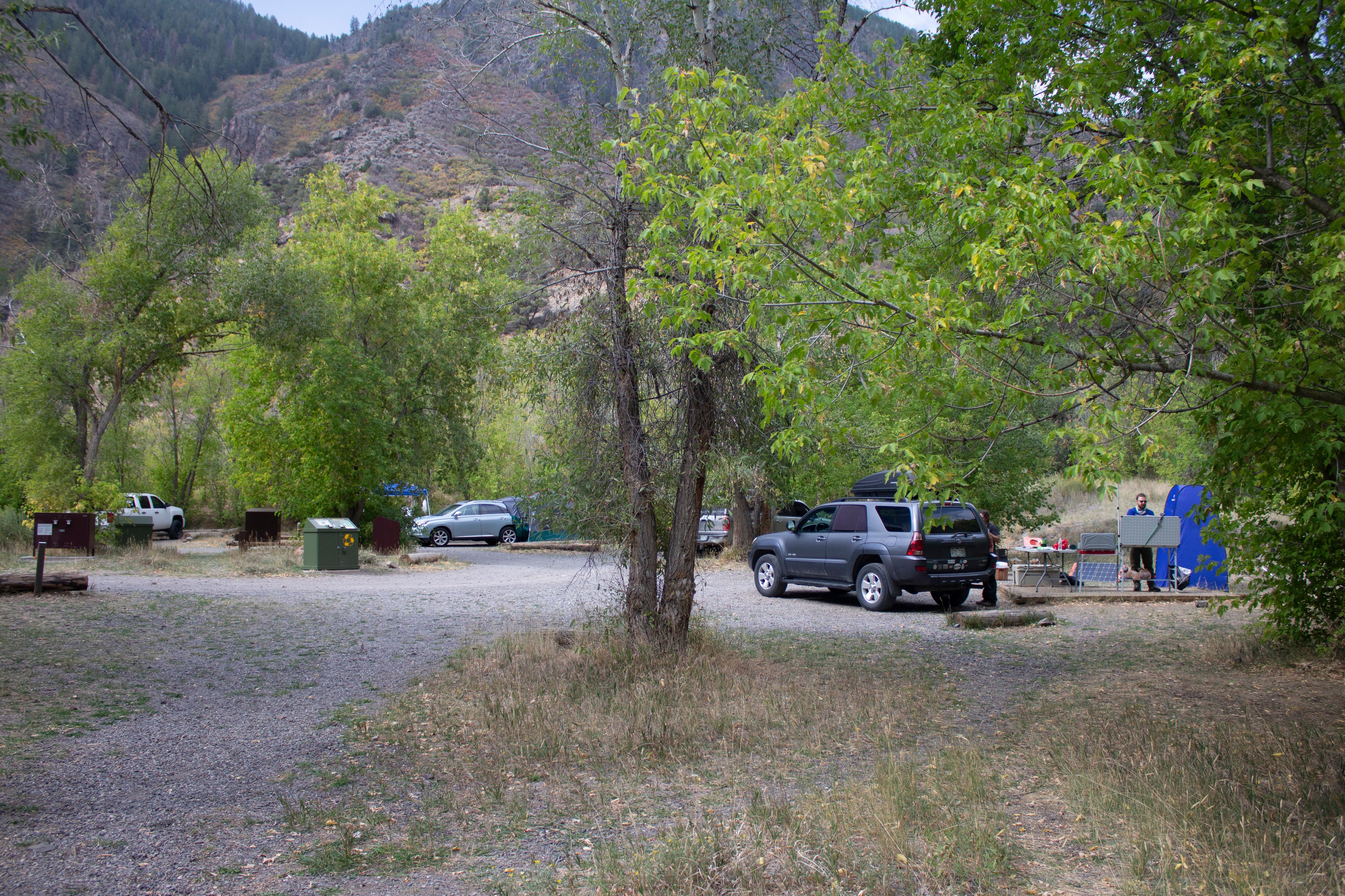 East Portal CampgroundCampground · not watchable
East Portal Campground is located within Curecanti National Recreation Area, but is adjacent to and only accessible from Black Canyon National Park ($30…
- East Snowmass #1977Facility · not watchable
ALERT: Due to recent bear activity, bear canisters are required for all backpackers in the Maroon Bells-Snowmass Wilderness.
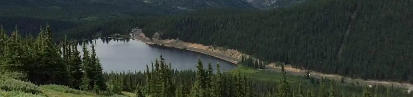 Echo LakeCampground · 17 sites
Overview Echo Lake Campground is located on the Arapaho and Roosevelt National Forests in central Colorado near its namesake lake at the base of Mount Blue Sky…
- Echo Lake TrailheadFacility · not watchable
Echo Lake Trailhead is located south of Idaho Springs on Hwy 103. It provides access to the Chicago Lakes Trail (#52) and the Resthouse Meadows Trail (#57).
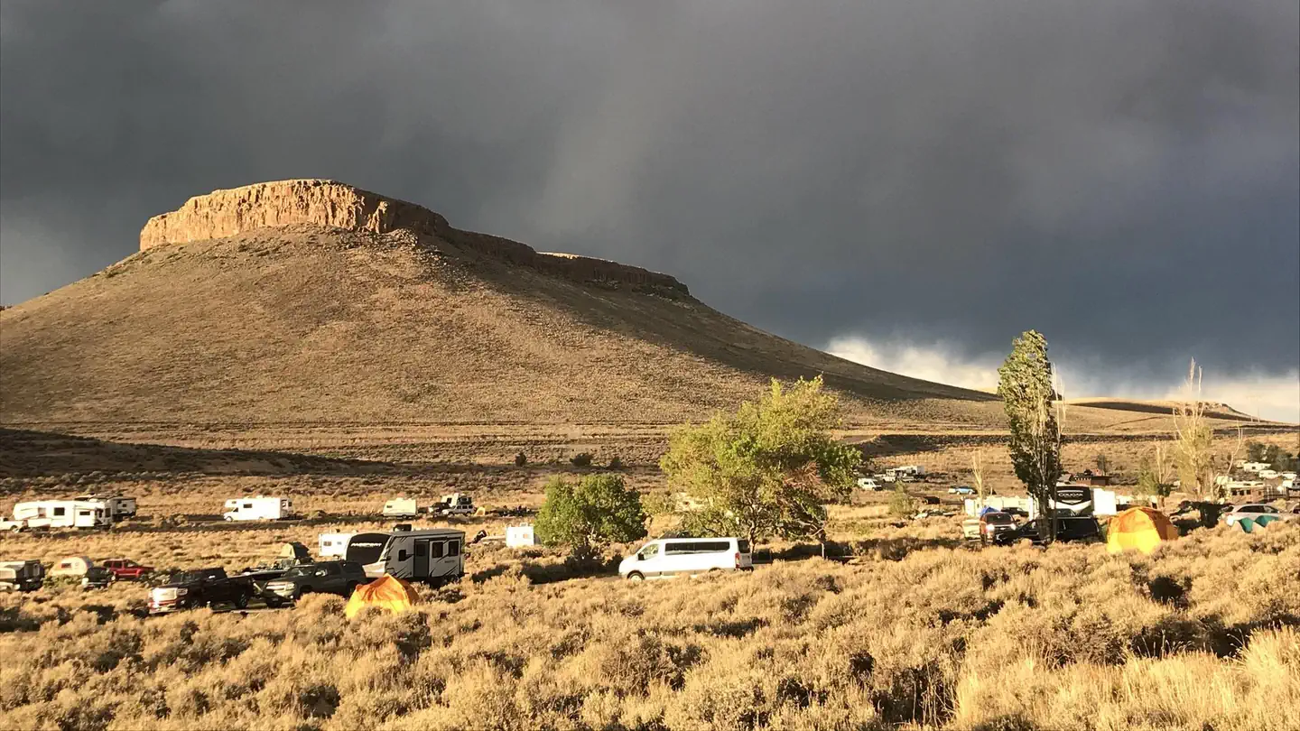 Elk Creek CampgroundCampground · 150 sites
Overview Elk Creek Campground is on the north shore of Blue Mesa Reservoir. The lake is Colorado's largest body of water with 96 miles of shoreline and the…
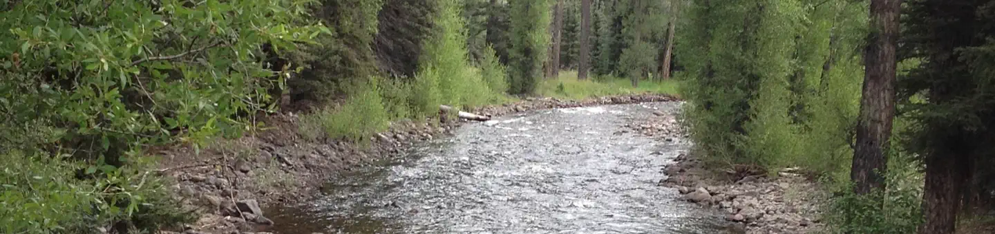 Elk Creek Campground (Rio Grande NF)Campground · 38 sites
Overview Elk Creek Campground is located in Conejos County, approximately 23 miles west of Antonito, Colorado.
- Elliot's Ridge #1889Facility · not watchable
The Elliot Ridge Trail provides panoramic views of the area including the Gore Range.
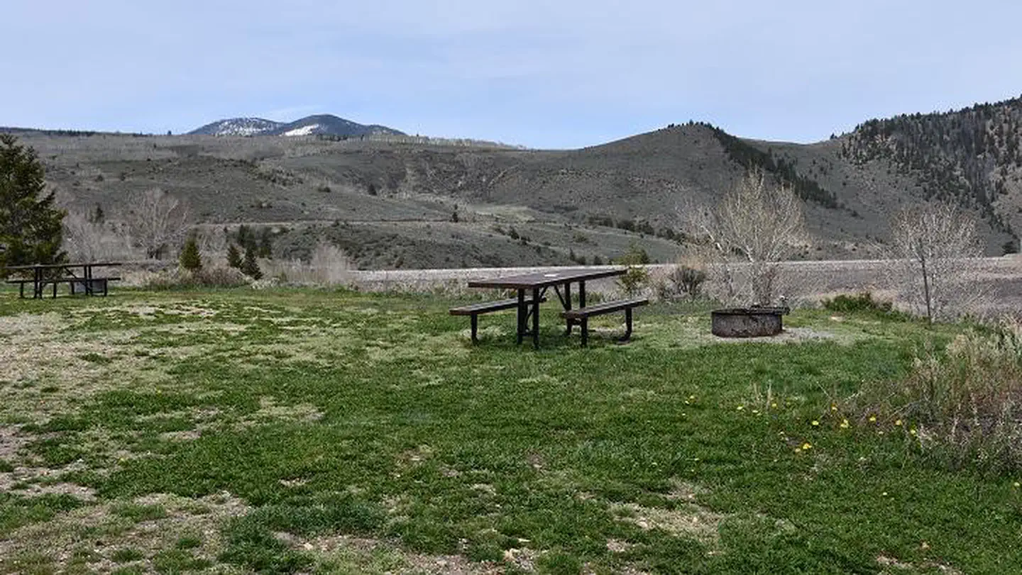 Elliott Creek Campground (CO)Campground · 19 sites
Overview Elliott Creek Campground is located on the northwest side of Green Mountain Reservoir in White River National Forest.
 Elwood CabinCampground · 1 sites
Overview Elwood Cabin sits in a saddle along the San Juan Mountains overlooking an open meadow, offering guests a unique lodging opportunity.
- Emerald Lake Picnic AreaFacility · not watchable
Located about six miles down the Halfmoon Road, Emerald Lake is a day use picnic and fishing area in a shady lodgepole pine forest.
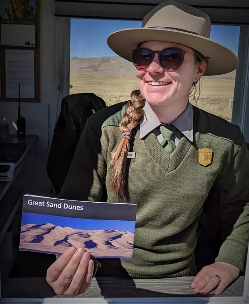 Entrance StationVisitor Center · not watchable
Purchase park passes at the Entrance Station, located on the main entrance road. Entrance Station hours are variable depending on the season and day, but are…
- Fall Creek #2001Facility · not watchable
The Fall Creek trail begins at the top of Tigiwon Road #707 and ends at the top of Holy Cross City Jeep Road #759: From the North Trailhead, the trail climbs…
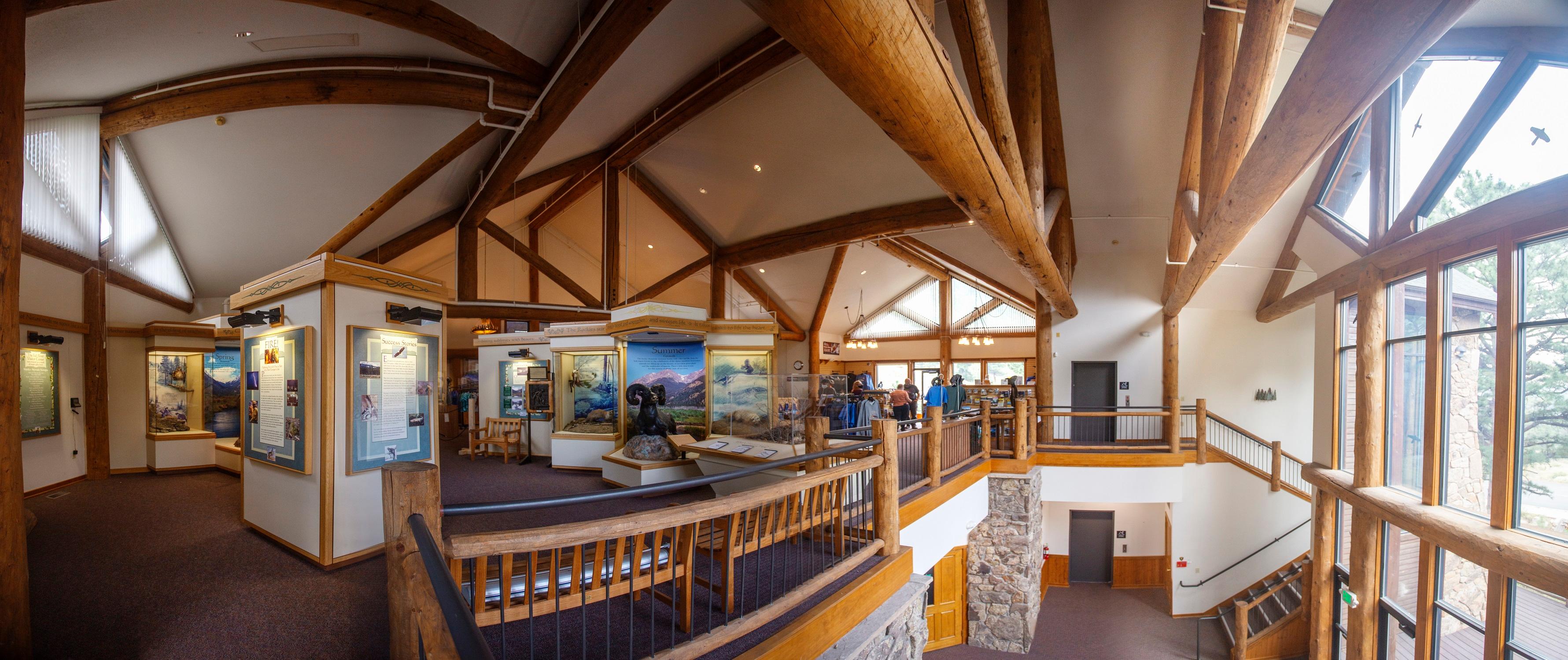 Fall River Visitor CenterFacility · not watchable
The Fall River Visitor Center is located west of the town of Estes Park on U.S. Highway 34, just before the Fall River Entrance to RMNP.
- Fancy Creek #2006Facility · not watchable
The Fancy Creek trail is about 4.5 miles long. It begins at Forest Road #704, passes Fancy Lake, and ends at Treasure Vault Lake: The trail begins with…
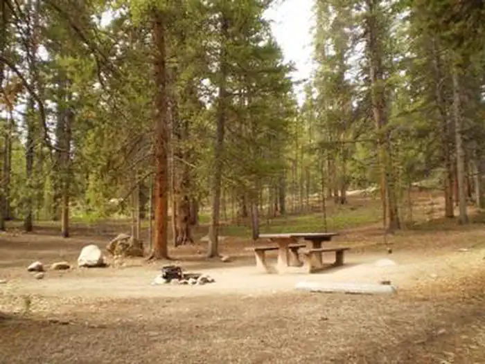 Father DyerCampground · 23 sites
Overview Father Dyer Campground is situated on the eastern shore of Turquoise Lake in the shade of a lodgepole pine and subalpine fir forest.
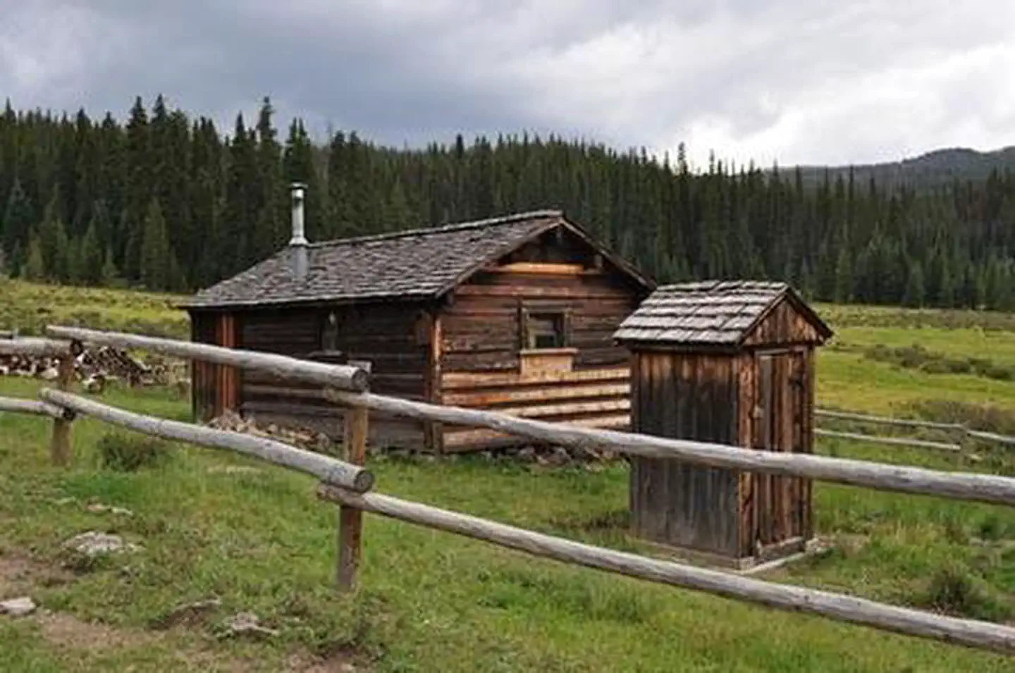 Fitton Guard Station CabinCampground · 1 sites
Overview Fitton Guard Station is a small cabin located in a high elevation meadow at 10,600 feet on Burro Creek near along an off-highway vehicle trail.
- Flat Rocks TrailheadFacility · not watchable
The Flat Rocks Trailhead is located south of Indian Creek along the Rampart Range Road.
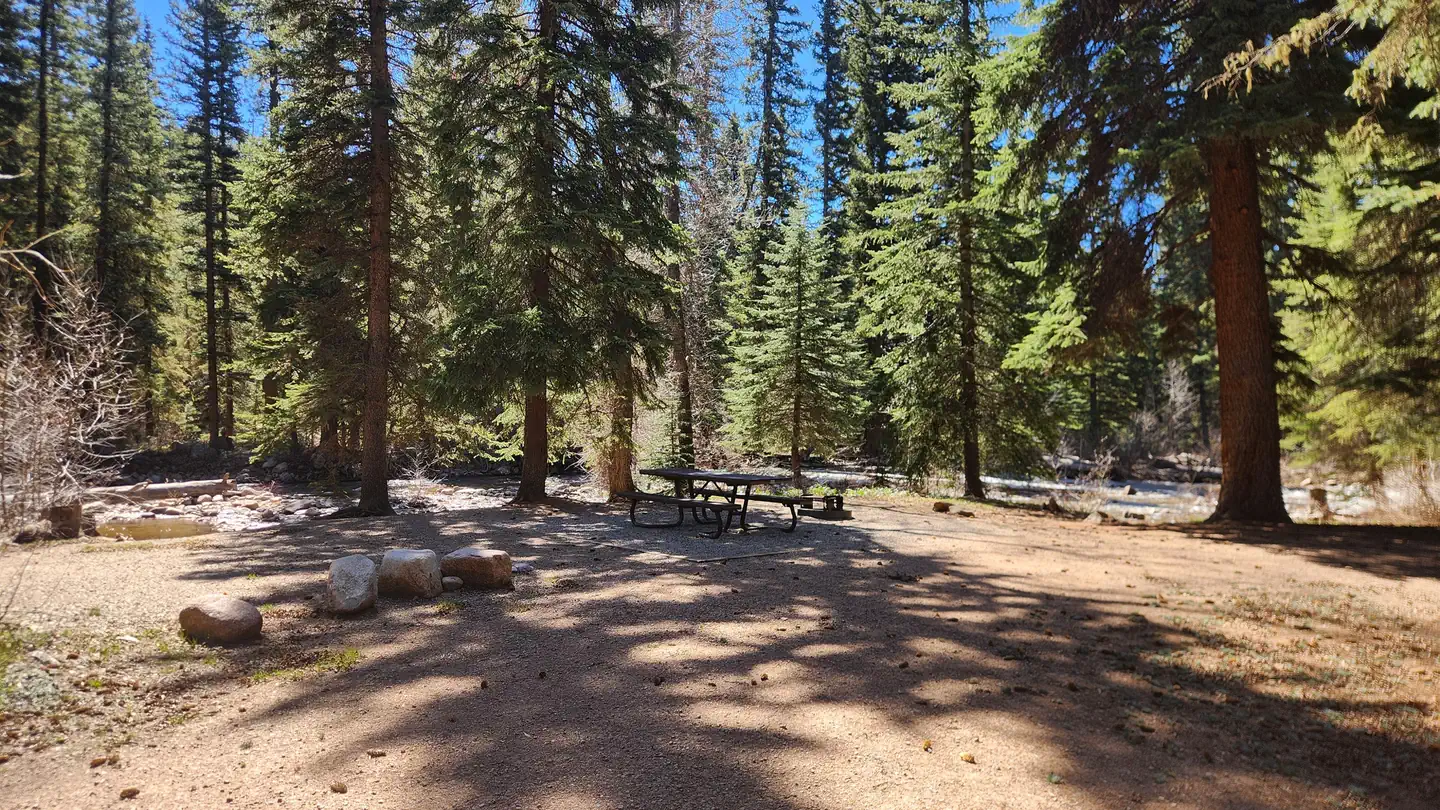 Florida Campground (Co)Campground · 20 sites
Overview Florida Campground is located near the north end of Lemon Reservoir, in southwestern Colorado.
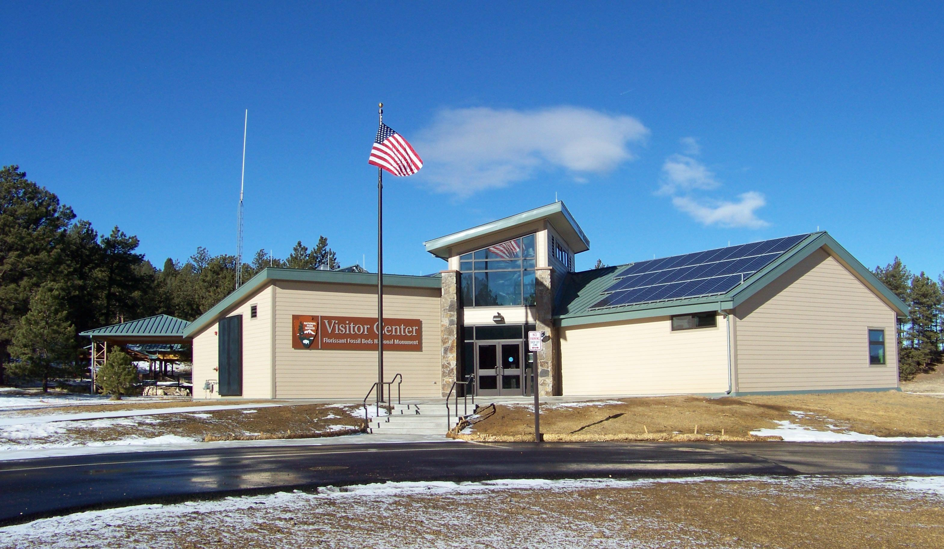 Florissant Fossil Beds Visitor CenterFacility · not watchable
The Visitor Center is where you should start your visit to Florissant Fossil Beds.
- Fourmile Travel Management AreaFacility · not watchable
The Fourmile Travel Management Area is located in northern Chaffee County and consists of 100,000 acres of Forest Service and Bureau of Land Management lands.
- French Gulch #2Facility · not watchable
Gold was discovered in French Gulch in 1860 by French Pete. This valley proved to be wildly rich in gold, silver, lead and zinc.
- Fryingpan Lakes #1921Facility · not watchable
Beginning at Nast (Horseshoe Bend), the trail is a fairly easy climb and parallels the Fryingpan River for nine miles until it reaches the lakes.
- Fulford Cave #1875Facility · not watchable
***A permit is required to enter the Fulford Cave. The cave is closed from October 15 - April 15 annually.
- Fulford Cave CampgroundFacility · not watchable
**FOOD STORAGE ORDER is in effect at all developed campgrounds on the Eagle/Holy Cross Ranger District, and the Piney Guard Station, Tigiwon Lodge, Mount of…
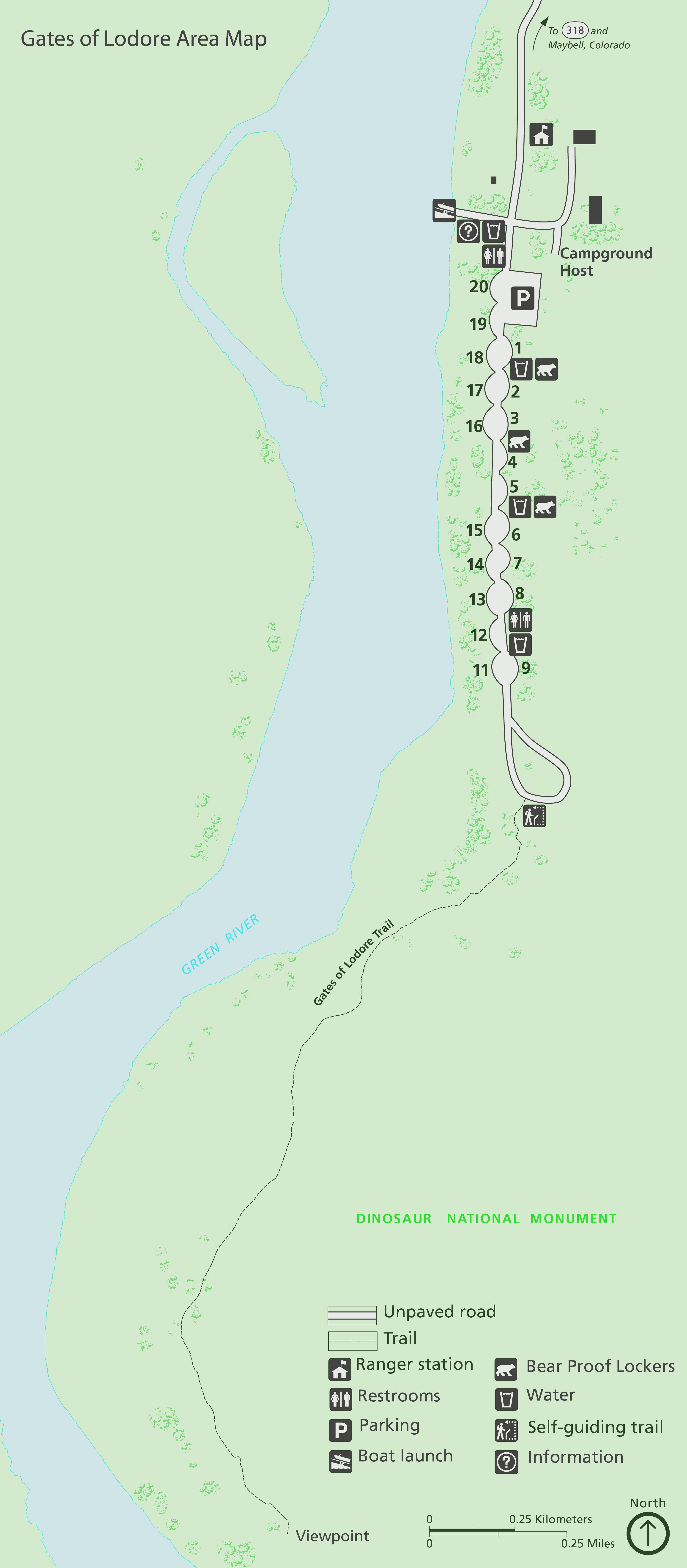 Gates of Lodore CampgroundCampground · not watchable
Gates of Lodore Campground is located on the Green River at the boat ramp at the head of Lodore Canyon.
- Geneva Park CampgroundCampground · 26 sites
Overview At an elevation of 9,813 feet, Geneva Park Campground offers cooler temperatures during the hottest of summer months.
- Georgia Pass Road (South Fork Swan) #355Facility · not watchable
This 4WD road passes the town site of Parkville, the main mining camp in Summit County during the gold rush of the 1860s.
- Gibson Lake TrailheadFacility · not watchable
The Gibson Lake Trail (#633) travels in a westerly direction up the Lake Fork drainage.
- Glenwood Springs AreaFacility · not watchable
Glenwood Springs is a good starting point for excursions into the southeastern Flat Tops, Glenwood Canyon, and the Roaring Fork Valley.
- Gold Hill #79Facility · not watchable
The trail climbs over Gold Hill where you can enjoy views of the Upper Blue River Valley eastward and the rugged Tenmile Range to the west.
- Gold Park CampgroundCampground · not watchable
**Bear activity has been increasing. For this reason a food storage order is in effect at all developed campgrounds on the Eagle/Holy Cross Ranger District,…
- Gore Creek #2015Facility · not watchable
The Gore Creek Trail trail begins at Bighorn Road in East Vail and ends at the Gore Range Trail #60 on the Dillon Ranger District: The first 4 miles of the…
 Gore Creek CampgroundCampground · 25 sites
Overview Gore Creek Campground is situated six miles east of Vail, Colorado, at an elevation of 8,700 feet and centrally located for recreation and relaxation…
- Gore Range #60Facility · not watchable
The Gore Range Trail runs the north-south length of the Dillon Ranger District portion of the Eagles Nest Wilderness.
- Government #1980Facility · not watchable
The Government trail crosses Maroon Creek via a pedestrian bridge and turns left onto a residential street.
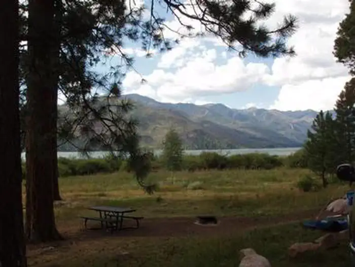 Graham Creek CampgroundCampground · 24 sites
Overview Graham Creek Campground is situated above Vallecito Lake, in the scenic San Juan National Forest of southwestern Colorado.
- Graham GulchFacility · not watchable
Graham Gulch Trail is located approximately three miles west of Everett or six miles west of the town of Twin Lakes.
- Grand County Bird ListFacility · not watchable
The Birds of Grand County, Colorado Field Checklist is list of 252 species (144 breeding species), creasted using records from the U.S.
- Grand MesaFacility · not watchable
Largest flat top mountain in the world. Fish Your National Forests: This site can be accessed by Passenger Car; Fish available include: Trout; Types of fishing…
- Grandview CampgroundCampground · not watchable
Grandview Campground is a small, tents-only facility with nine campsites. It is located near the west end of Long Draw Reservoir with views of the reservoir…
- Granite Lake #1922Facility · not watchable
The trail begins just before the Fryingpan River Ranch. Please be considerate of private property.
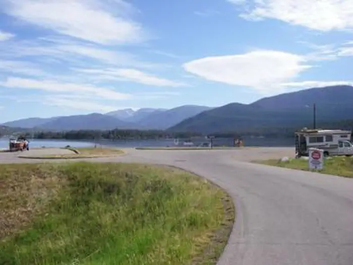 Green RidgeCampground · 72 sites
Overview Green Ridge Campground is located on beautiful Shadow Mountain Reservoir, southwest of Grand Lake in north central Colorado.
- Greenridge Road (#177, #319)Facility · not watchable
The Greenridge Road runs between the Laramie River Road (County Road 103) near Chambers Lake and the Deadman Road (County Road 86).
- Grizzly Creek #2065Facility · not watchable
The Grizzly Creek trail begins in Glenwood Canyon and ends 3.5 miles above. The trail travels up from the Colorado River through the canyon cut by Grizzly…
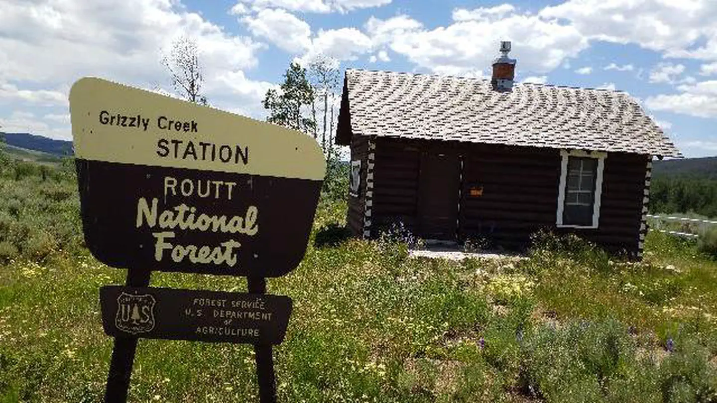 Grizzly Creek Guard StationCampground · 1 sites
Overview At an elevation of 8,500 feet, Grizzly Creek Guard Station is located between Walden and Steamboat Springs, Colorado, offering guests an unique…
- Grizzly Lake #1990Facility · not watchable
The trail follows Grizzly Creek and ascends steeply for the first 1/2 of a milethrough a series of switchbacks.
- Grouse Lake #2127Facility · not watchable
The Grouse Lake trail begins near the town of Minturn and ends at Grouse Lake: The trail rises through aspen, pine, spruce, and fir.
- Grouse Mountain #2010Facility · not watchable
The Grouse Mountain trail links the West Grouse Creek Trail #2129 and the Cross Creek Trail #2006.
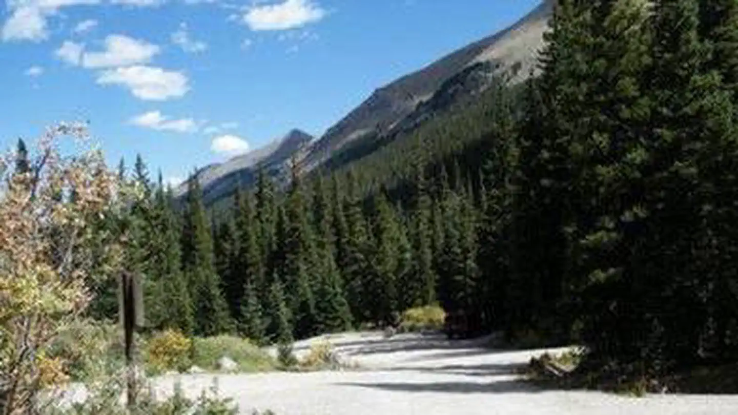 Guanella PassCampground · 17 sites
Overview Guanella Pass Campground is located about 7 miles south of Georgetown on the South Fork of Clear Creek on the Guanella Pass Scenic Byway.
- Guanella Pass Scenic BywayFacility · not watchable
The Guanella Pass Scenic Byway, can be accessed from either Grant or Georgetown. The south side of the Byway is located on the Pike National Forest/South…
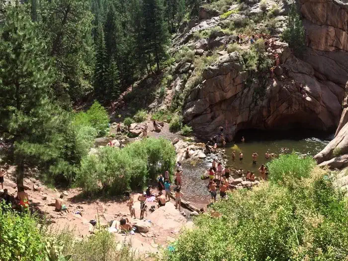 Guffey Gorge / Paradise CoveActivity pass
Guffey Gorge Day-Use Area, also referred to as Paradise Cove, is a popular recreation fee site located in southern Park County.
- Gunnison Forks Day Use AreaFacility · not watchable
The Gunnison Forks Day Use Site at the northern end of the national conservation area provides easy walk-in river access, a natural surface (river rock) boat…
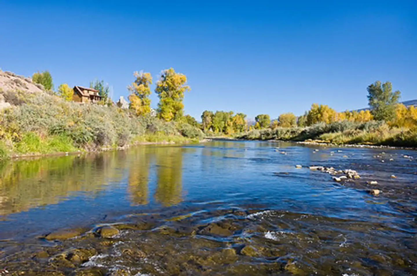 Gypsum CampgroundCampground · not watchable
Gypsum Campground is located along the Eagle River and is readily accessible from Interstate Highway 70. The campground is open May 15 - November 15 annually.
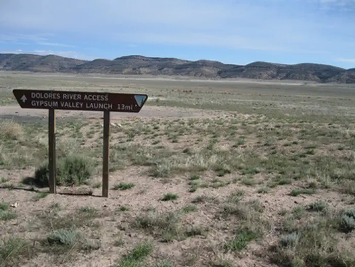 Gypsum ValleyFacility · not watchable
BLM's Gypsum Valley Recreation site is a remote site about 50 miles north of Dove Creek.
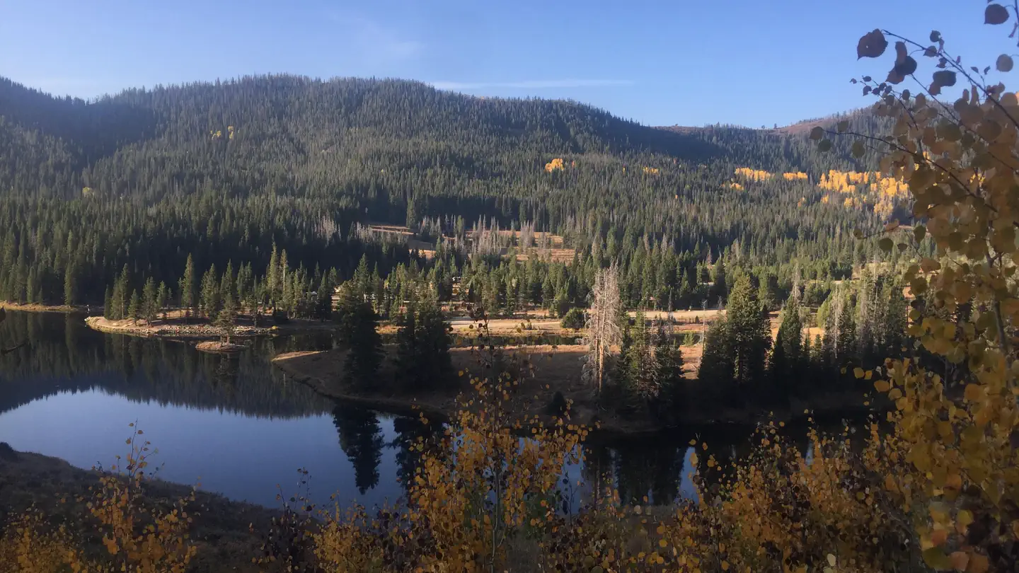 Hahns Peak Lake Campground - Medicine-Bow Routt NF (CO)Campground · 26 sites
Overview Hahns Peak Lake Campground lies on the shore of a small, scenic lake 30 miles north of Steamboat Springs, Colorado.
- Halfmoon East CampgroundCampground · not watchable
Located off the Halfmoon Road (FSR 110), Halfmoon East is a first-come, first-served campground near the Mount Elbert and Mount Massive Trailheads at 9,900…
- Hall Valley CampgroundCampground · not watchable
NOTICE: As of June 15, 2020, the water system at this campground is closed until further notice pending repairs.
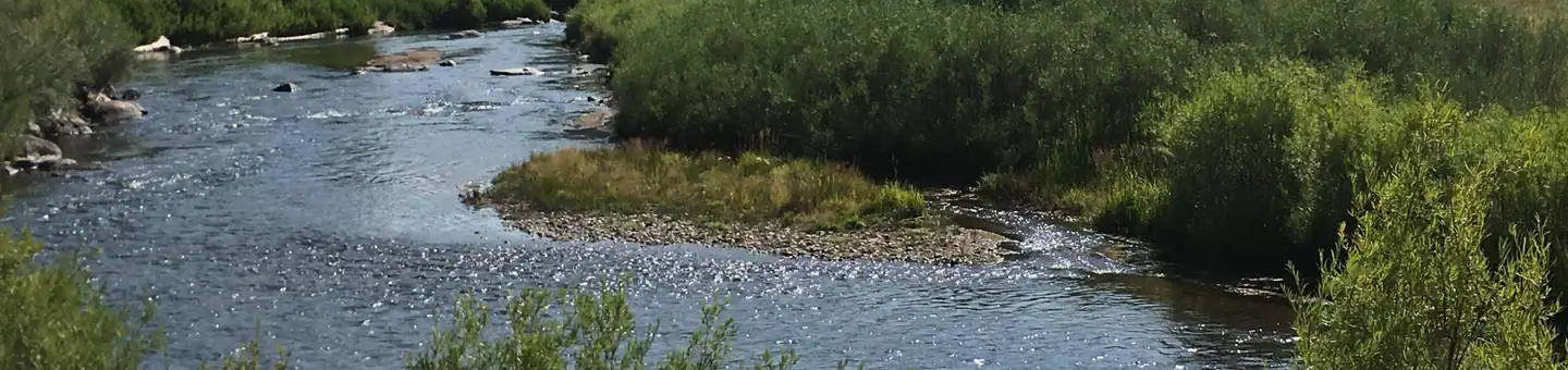 Happy MeadowsCampground · 7 sites
Overview Happy Meadows Campground is situated along the South Platte River near the Eleven Mile Reservoir and Eleven Mile Canyon.
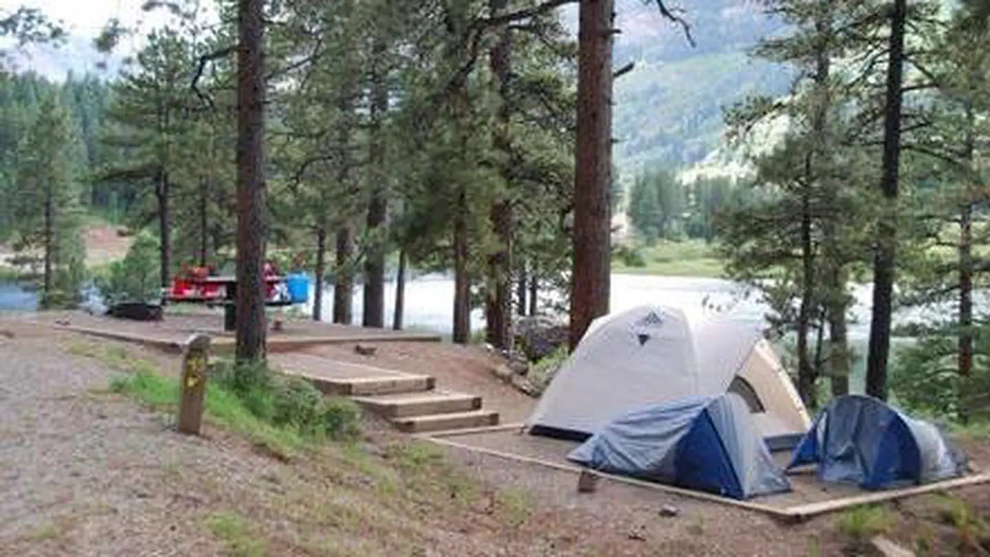 Haviland Lake CampgroundCampground · 41 sites
Overview Haviland Lake Campground is situated on its beautiful namesake within the San Juan National Forest, 18 miles north of Durango.
- Hawkeye TrailheadFacility · not watchable
The BLM-managed Hawkeye Trailhead is a scenic, low-traffic staging area located near Mack, Colorado, offering an ideal gateway to the western edge of the…
- Hay Park #19571Facility · not watchable
This is a moderate trail. The trail is used by mountain bikers, hikers, and horseback riders.
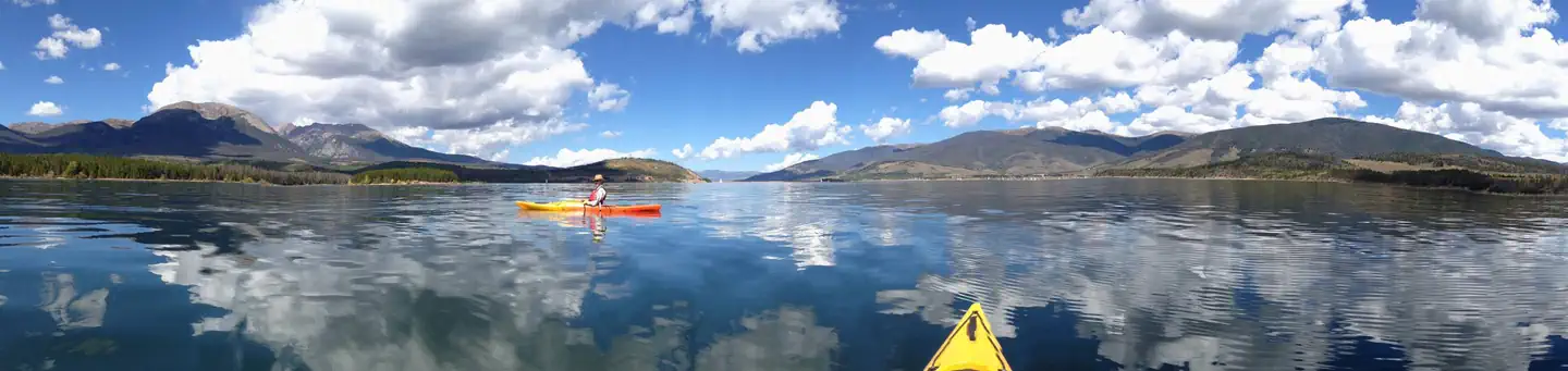 Heaton BayCampground · 84 sites
Overview Heaton Bay Campground is situated at an elevation of 9,000 feet and centrally located for recreation and relaxation in the White River National…
- Hell Roaring #1960Facility · not watchable
ALERT: Due to recent bear activity, bear canisters are required for all backpackers in the Maroon Bells-Snowmass Wilderness.
- Himes Peak #1877Facility · not watchable
The Himes Peak Trail climbs steeply from the road, crossing a small creek into a large meadow below Shepherd's Rim.
- Holy Cross City Jeep Road #759Facility · not watchable
This extreme road starts off Homestake Road #703 and ends at Holy Cross City historic site. This is one of the more difficult and popular roads in the state.
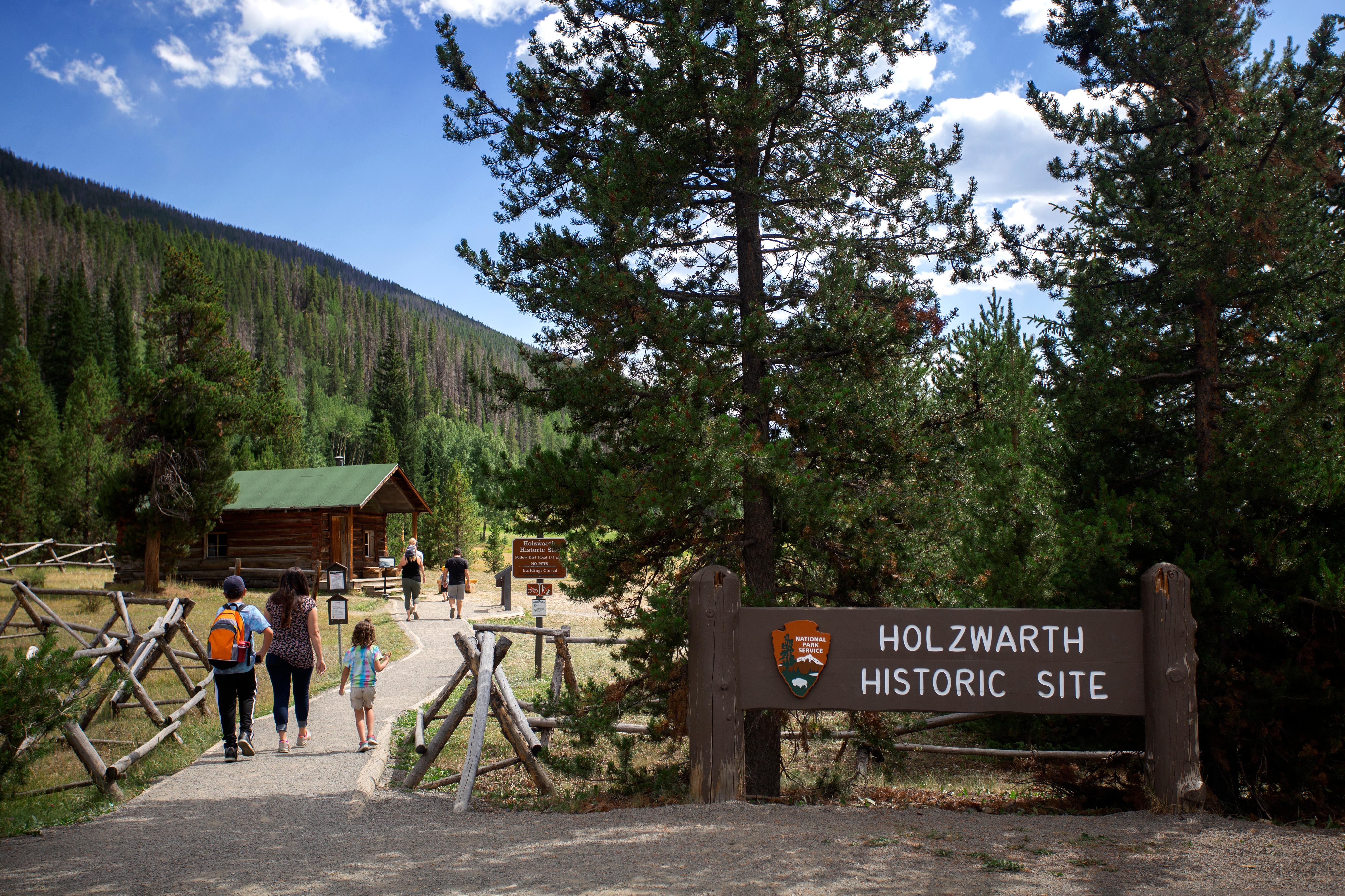 Holzwarth Historic SiteFacility · not watchable
Explore the Holzwarth Historic Site, where the Never Summer Ranch and the Holzwarth Trout Lodge was operated by the Holzwarth family through multiple…
- Hooper Lake #1860Facility · not watchable
The Hooper Lake trail begins at the end of Forest Sevice Road #610 (4wd high clearance vehicle needed) and becomes the North Derby Trail after passing Hooper…
- Horse Pasture SiteFacility · not watchable
Horse Pasture Site is a fishing access point located along the Colorado River. Boat access is not located here but is upstream at the Community Site.
- Horseshoe CampgroundCampground · 18 sites
Overview Horseshoe Campground sits along its namesake creek near a grassy meadow among aspen, Engelmann spruce and Bristlecone pines in the San Isabel National…
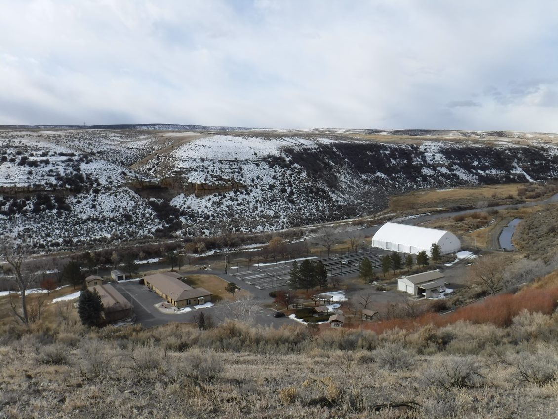 Hotchkiss National Fish HatcheryFacility · not watchable
Hotchkiss National Fish Hatchery is located about 20 miles east of Delta, CO near the town of Hotchkiss and was established in 1967 as part of the Colorado…
 Hotel BoulderadoFacility · not watchable
The Hotel Boulderado, built in 1909 and a member of Historic Hotels of America® since 1996, was listed in the National Register of Historic Places in 1994.
 House CreekCampground · 23 sites
Overview House Creek Campground is located on the shores of McPhee Reservoir near the town of Dolores in southwestern Colorado.
- House Creek Boating SiteFacility · not watchable
The House Creek Recreation Complex is across the reservoir from the McPhee Complex. From Dolores, take 11th Street to the Dolores-Norwood Road (Forest Rd.
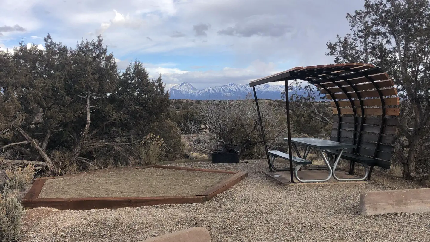 Hovenweep CampgroundCampground · 29 sites
Overview Hovenweep Campground is nestled within the beautiful, sweeping landscape of the Colorado Plateau in Southeast Utah, at an elevation of approximately…
- Hunkidori Mine #276Facility · not watchable
This trail passes into thick spruce and fir trees. You will be entering a stand of Red Barked spruce which is a species of Englemann spruce that is over 200…
- Idleglen TrailheadFacility · not watchable
Trailhead featuring access to extensive motorized trail system known as Stillwater Pass and Grand Lake trail system. Access via the Idelglen Staging Area.
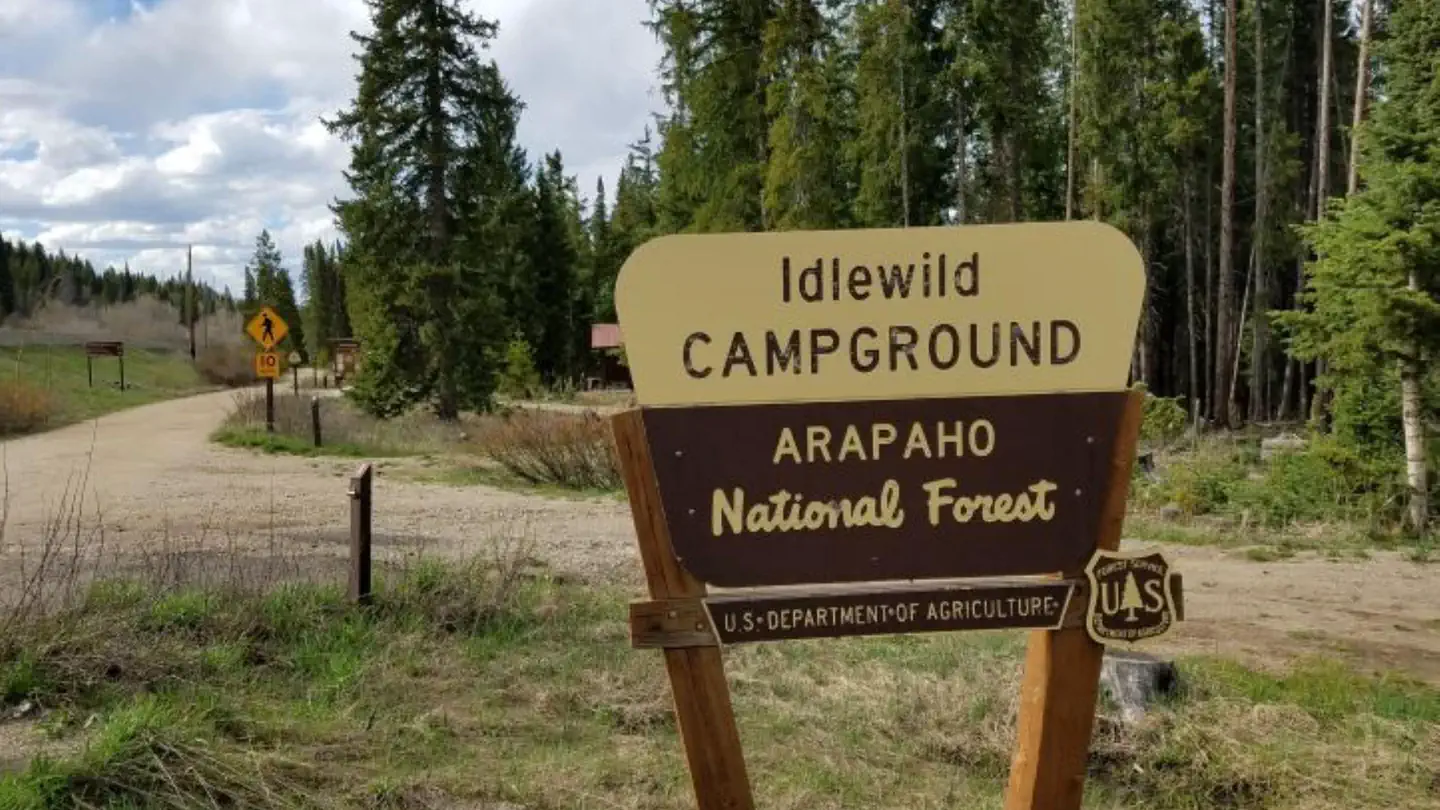 Idlewild CampgroundCampground · 24 sites
Overview Idlewild Campground is off US Highway 40, just south of Winter Park. The campground is well located for hiking, biking, fishing, as well as wildlife…
- Idlewild CampgroundCampground · not watchable
Located next to US Highway 40 and just before the town of Winter Park, this first-come, first-served campground has 24 non-electric sites that will accommodate…
- Independence Gulch #234Facility · not watchable
Forest Trail #234 (Independence Gulch Trail) is 2.6 miles long. It begins at Colorado State Highway 149 and ends at Forest Trail #244.
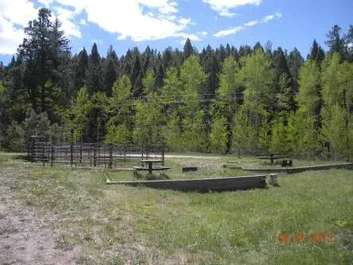 Indian Creek Equestrian CampgroundCampground · 7 sites
Overview Please Note: Must be in possession of a horse in order to camp in the equestrian campground.
- Indian Creek TrailheadFacility · not watchable
The Indian Creek Trailhead is near the gate to the right of the parking area and accesses the Indian Creek Trail (#800), and Ringtail Trail (#699).
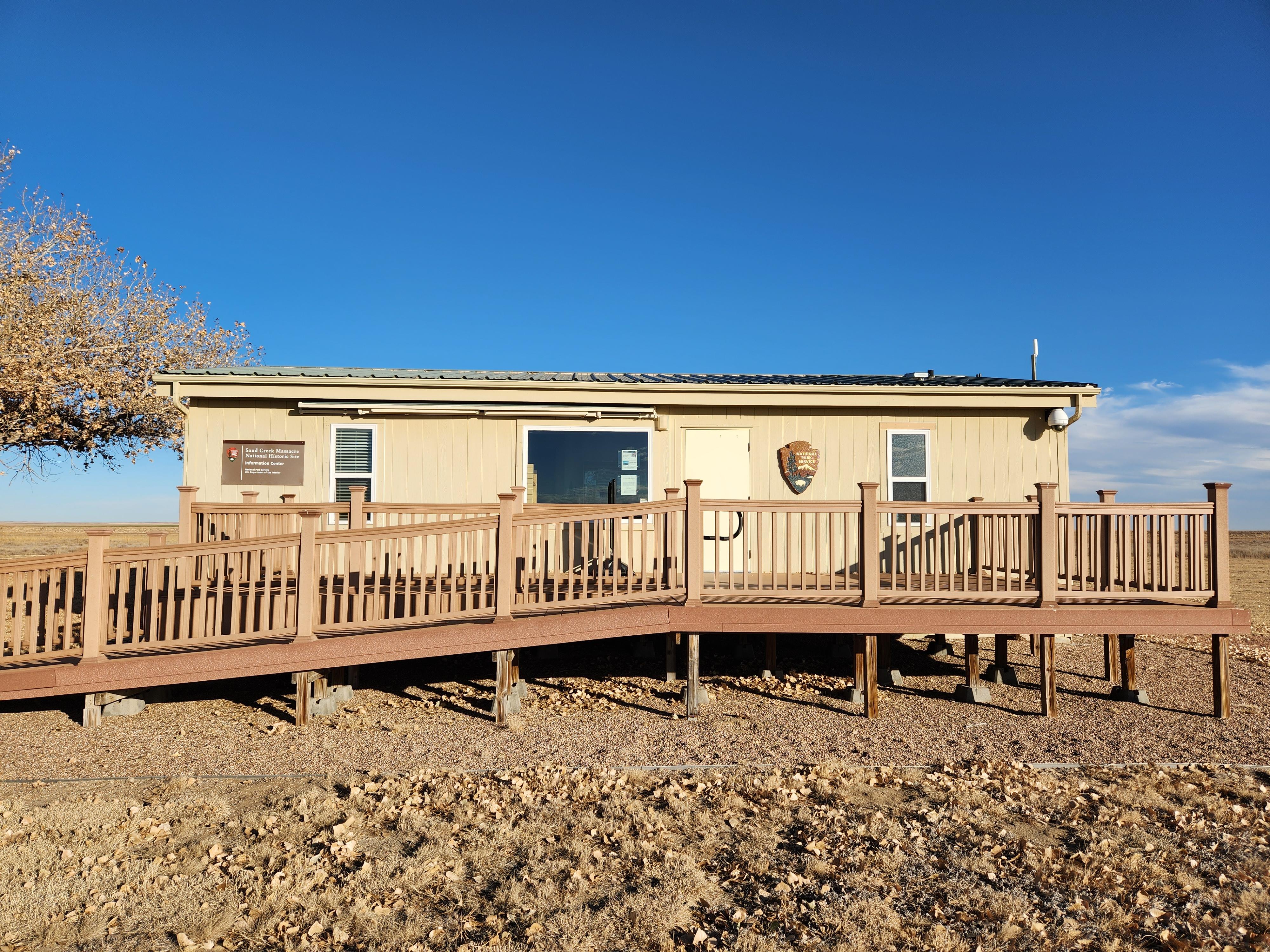 Information CenterVisitor Center · not watchable
The information center is located at the historic site, which is eight miles north of the town of Chivington.
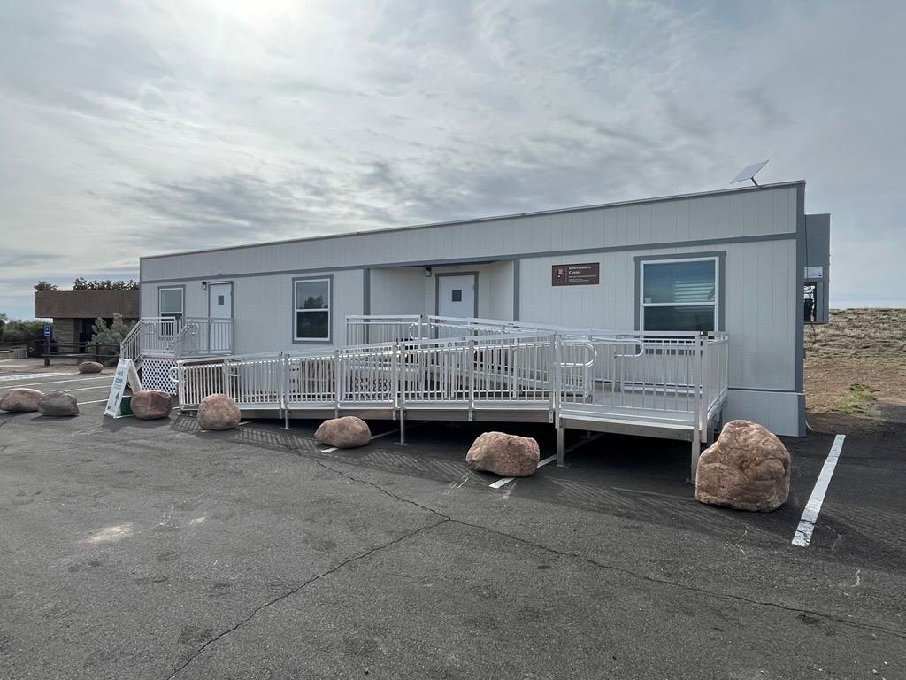 Information CenterVisitor Center · not watchable
The information center is located at the visitor parking area, immediately next to the restrooms and orientation shelter.
- Interlaken Historic ResortFacility · not watchable
This historic resort is located along the southern shore of Twin Lakes. Built by John A.
- Ironedge #1873Facility · not watchable
The Ironedge Trail begins near the Fulford Cave Campground and ends at the Lake Charles Trail #1899 near Lake Charles.
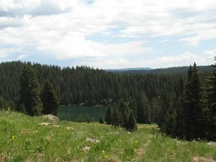 Island Lake CampgroundCampground · 32 sites
Overview Island Lake Campground is located at an elevation of 10,000 feet on Colorado's Grand Mesa, which is home to more than 300 fishing lakes, near the…
- Island Lakes #1842Facility · not watchable
The Island Lakes trail begins about 1.5 miles up the Hooper Lake Trail #1860, passes Island Lakes, and ends at W Mountain Trail #1817.
- Ivy Creek Trailhead # 805Facility · not watchable
Sixteen miles South West of Creede. This trailhead offers parking, hitch rails, highline, and directional signing.
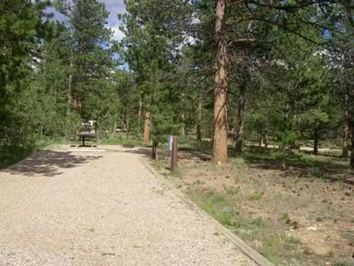 Jacks GulchCampground · 3 sites
Overview Jacks Gulch Recreation Area is located 48 miles northwest of Fort Collins, in northern Colorado.
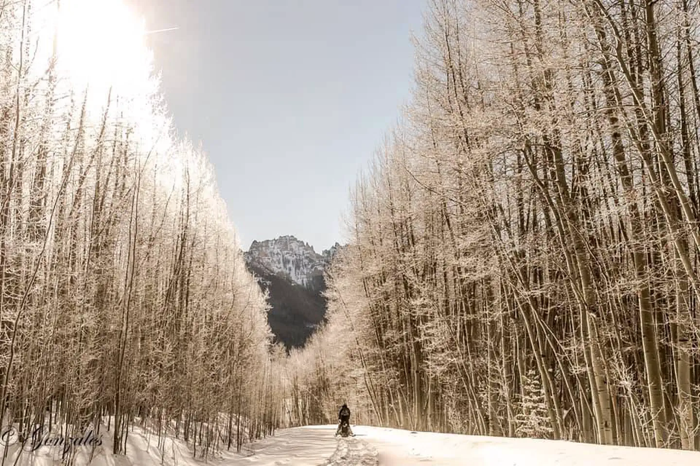 Jackson Guard StationCampground · 1 sites
Overview Jackson Guard Station is a great destination for anything from a weekend getaway to a week-long hunting trip.
- James Peak WildernessFacility · not watchable
The James Peak area became part of the National Wilderness Preservation System in 2002.
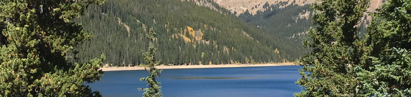 Jefferson CreekCampground · 16 sites
Overview Campers looking for a pleasant fishing destination with great mountain views will enjoy camping at Jefferson Creek.
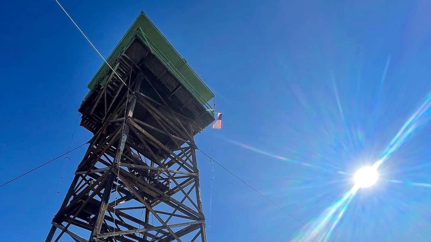 Jersey Jim Fire TowerCampground · 1 sites
Overview The Jersey Jim Lookout Tower is named after an early cattleman who ran Jersey cattle in the area.
- Jersey Jim LookoutFacility · not watchable
Live a little bit of history and enjoy an incredible view in Southwestern Colorado with an one- or two-night stay at the Jersey Jim Fire Lookout Tower.
- Johnny Park Road (#118)Facility · not watchable
Nine and a half miles east of Estes Park on Highway 36, a forest access sign directs you west on a gravel road towards the Big Elk Meadows subdivision.
- Josephine Lake #1916Facility · not watchable
The trail starts at the junction with Henderson Park trail and ends at the lake. Josephine Lake Trail climbs about 1,100 feet in elevation in just a little…
- Jouflas CampgroundCampground · not watchable
Jouflas Campground is located in Rabbit Valley Motorized Area, which is within the McInnis Canyons National Conservation Area.
 Jumbo CampgroundCampground · 26 sites
Overview Jumbo Campground is located on the northern slope of Colorado's Grand Mesa, in the Mesa Lakes area, which is home to over 300 lakes.
- Junction Butte WetlandsFacility · not watchable
The 120-acre Junction Butte Wetland is designated as a Watchable Wildlife Area, providing excellent birding opportunities.
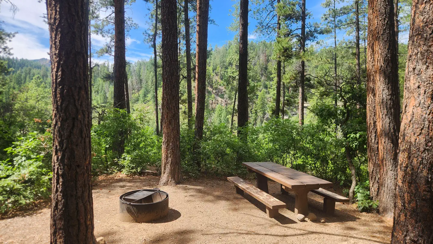 Junction Creek CampgroundCampground · 45 sites
Overview Junction Creek Campground is located close to Durango, Colo., near the beginning of the Colorado Trail.
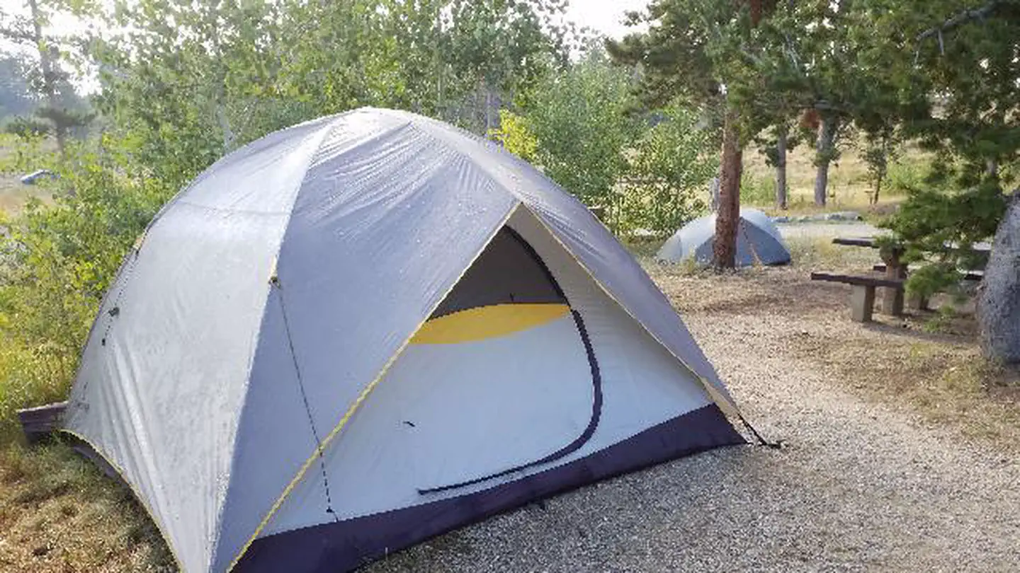 Kelly DahlCampground · 25 sites
Overview Kelly Dahl Campground is located adjacent to the Peak-to-Peak Scenic Byway, near the historic mining towns of Nederland, Rollinsville, Central City…
- Kelly Flats CampgroundCampground · not watchable
Kelly Flats is a first-come, first-served campground located adjacent to Colorado Highway 14 and the Cache La Poudre River.
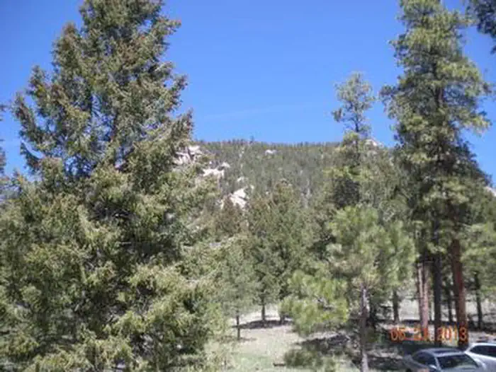 Kelsey CampgroundCampground · 17 sites
Overview Kelsey is one of two campgrounds within the Buffalo Creek Recreation Area, about an hour's drive southwest of Denver, Colorado.
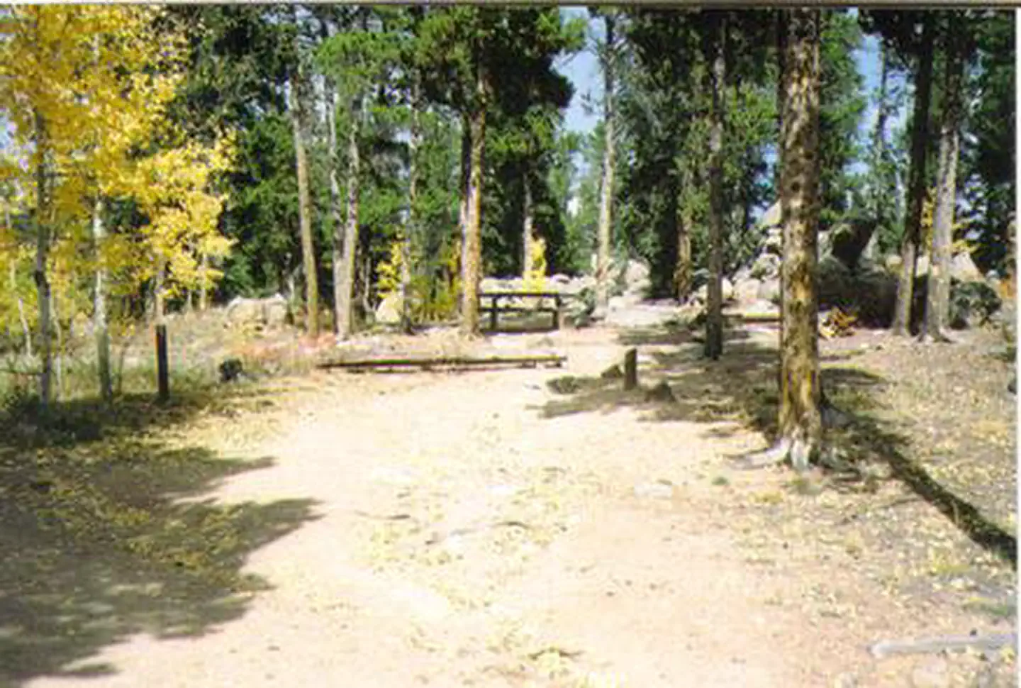 Kenosha Pass CampgroundCampground · 24 sites
Overview Kenosha Pass Campground is a small, conveniently-located campground heralded by backpackers on the Colorado Trail and by those looking for a scenic,…
- Kenosha Pass Railroad Station Documentary Site: 1Facility · not watchable
WELCOME TO KENOSHA PASS Long ago Ute hunters traveled over Kenosha Pass in their search for bison, deer, elk, and other game that…
- Kenosha Pass Railroad Station Documentary Site: 2Facility · not watchable
RAILWAYS OF YESTERYEAR The creation of the Denver, South Park and Pacific Railroad was fueled by the silver boom and mining…
- Kenosha Pass Railroad Station Documentary Site: 3Facility · not watchable
"A FOREST FULL" Dry lodgepole pine forests give way to cool subalpine forests of spruce and fire on the slopes above Kenosha…
- Kerr Lake Fishing SiteFacility · not watchable
The access to Kerr Lake is from the junction of FDR 250 and FDR 257. The first 2 miles to Lily Pond is a good gravel road.
- Kimball Bridge (Highway 9)Facility · not watchable
The segment of the river from Granby to Kremmling is very popular for fishing and a portion has been designated as Gold Medal Water by the Colorado Division of…
- King Creek TrailheadFacility · not watchable
Trailhead to the 12,000 acre King Mountain Recreation Area. The area offers excellent opportunities for wildlife viewing and has beautiful scenery.
- King Mountain Trailhead 131Facility · not watchable
The Trailhead leads to the 12,000 acre King Mountain Recreation Area. The area offers excellent opportunities for wildlife viewing and has beautiful scenery.
 La Vista Campground - Lake IsabelCampground · 25 sites
Overview La Vista Campground is situated in a meadow overlooking the west side of the 40-acre Lake Isabel.
- Lake Charles #1899Facility · not watchable
The Lake Charles Trail begins near the Fulford Cave Campground, passes Lake Charles and ends at Mystic Island Lake.
- Lake Evelyn TrailheadFacility · not watchable
The Lake Evelyn Trailhead provides access to several trails in the Byers Peak Wilderness. There are no facilities.
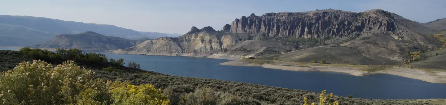 Lake Fork CampgroundCampground · 83 sites
Overview Lake Fork Campground is on the Blue Mesa Reservoir, near the reservoir's dam.
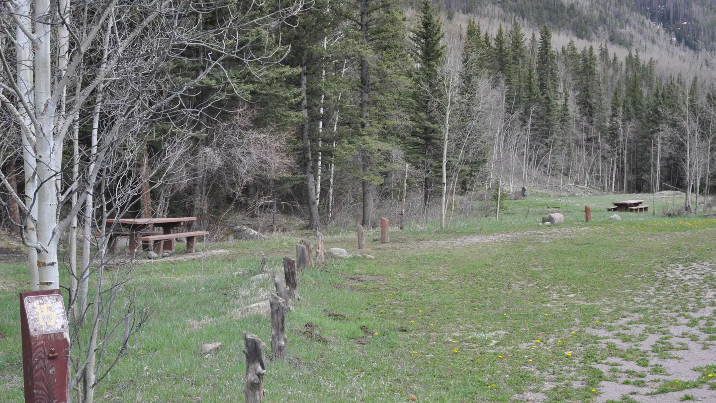 Lake Fork(rio Grande Natl ForeCampground · 19 sites
Overview Lake Fork Campground sits in the Rio Grande Forest, 40 miles northwest of Antonito, Colorado.
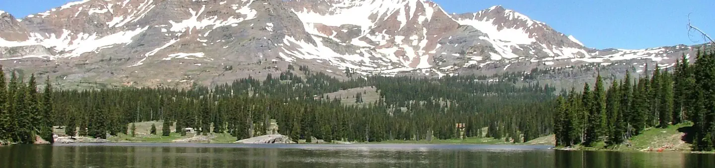 Lake IrwinCampground · 25 sites
Overview Lake Irwin Campground is situated on the western banks of its picturesque namesake lake, approximately 9 miles from Crested Butte, Colorado.
 Lake Isabel CabinCampground · 1 sites
Overview Lake Isabel Cabin is ideal for guests who wish to experience camping in the Pike and San Isabel National Forest, yet sleep in a bed with a roof…
- Lake Of The Woods #2263Facility · not watchable
The Lake Of The Woods Trail begins at Forest Road 205 and ends at the lake covering .4 of a mile.
- Lake Ridge Lakes #2093Facility · not watchable
The first part of the trail travels through aspens and oak brush from the ridge top down to South Thompson road.
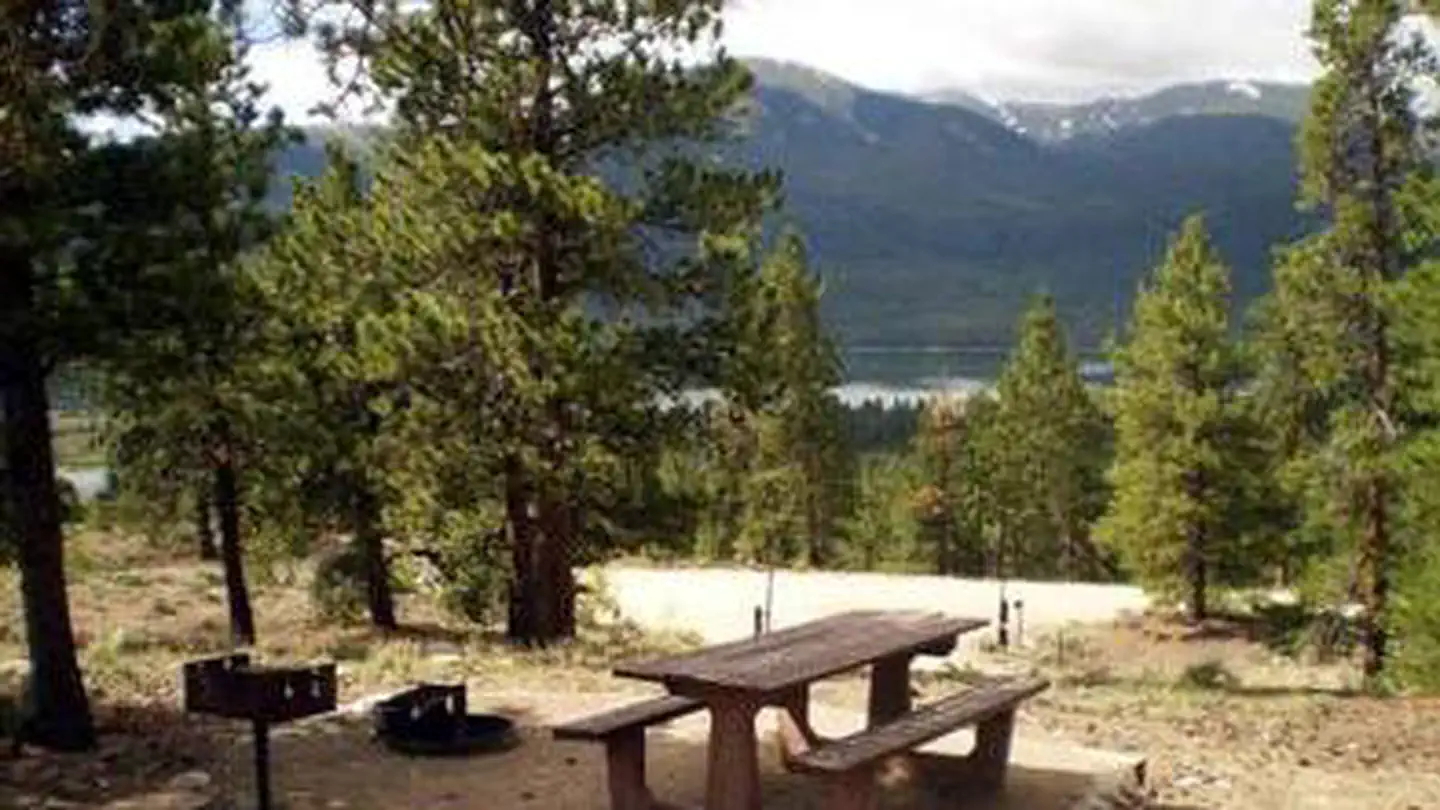 Lakeview CampgroundCampground · 51 sites
Overview Lakeview Campground, with wonderful views of the Twin Lakes Reservoir, is located about 20 miles south of Leadville, Colorado.
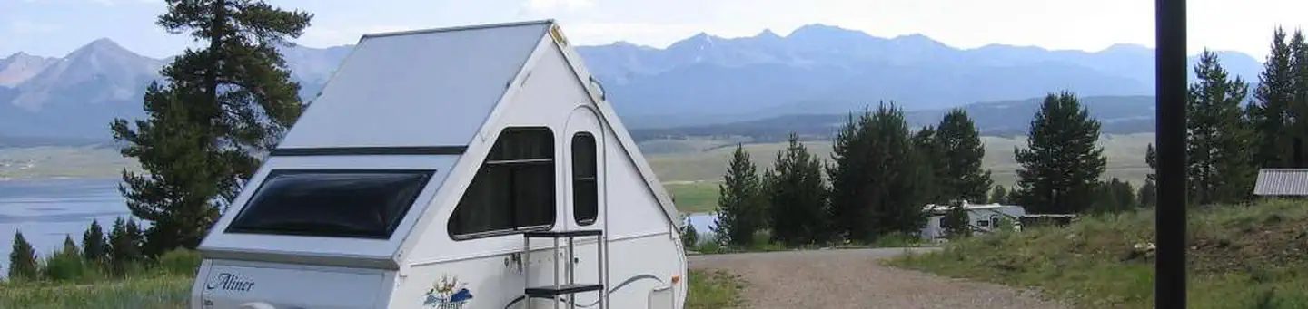 Lakeview GunnisonCampground · 48 sites
Overview Lakeview Campground is located on Taylor Park Reservoir, at an elevation of 9,400 feet.
- Last Chance #1945Facility · not watchable
The trail crosses the creek near the beginning and then is an easy walk through meadows most of the way. It ends at the junction with Tellurium Lake trail.
- Leadville National Fish HatcheryFacility · not watchable
Leadville National Fish Hatchery, established in 1889, is the second oldest Federally operated fish hatchery in existence today.
- Ledges Cottonwood AreaFacility · not watchable
Located in groves of cottonwoods along the San Miguel River. Cottonwood campground has 14 campsites.
- Ledges Rockhouse AreaFacility · not watchable
Ledges Rockhouse Campground is one of several recreation sites along the river. The site includes a restroom, 12 RV and 12 tent camping sites, cabanas, picnic…
- Lee and Dorothy Rhodes Farm Implement MuseumFacility · not watchable
Mid-19th century pioneers settled on the short-grass prairie, in northeastern Colorado, and tried their hand at farming.
- Lenawee #34Facility · not watchable
This trail climbs steadily up to tree line through lodgepole pine, spruce and fir forests.
- Lily Lake #1964Facility · not watchable
ALERT: Due to recent bear activity, bear canisters are required for all backpackers in the Maroon Bells-Snowmass Wilderness.
- Lincoln Creek Dispersed CampgroundCampground · not watchable
There are 22 dispersed campsites for car camping along Lincoln Creek Road. High Clearance required and 4x4 recommended to access all campsites.
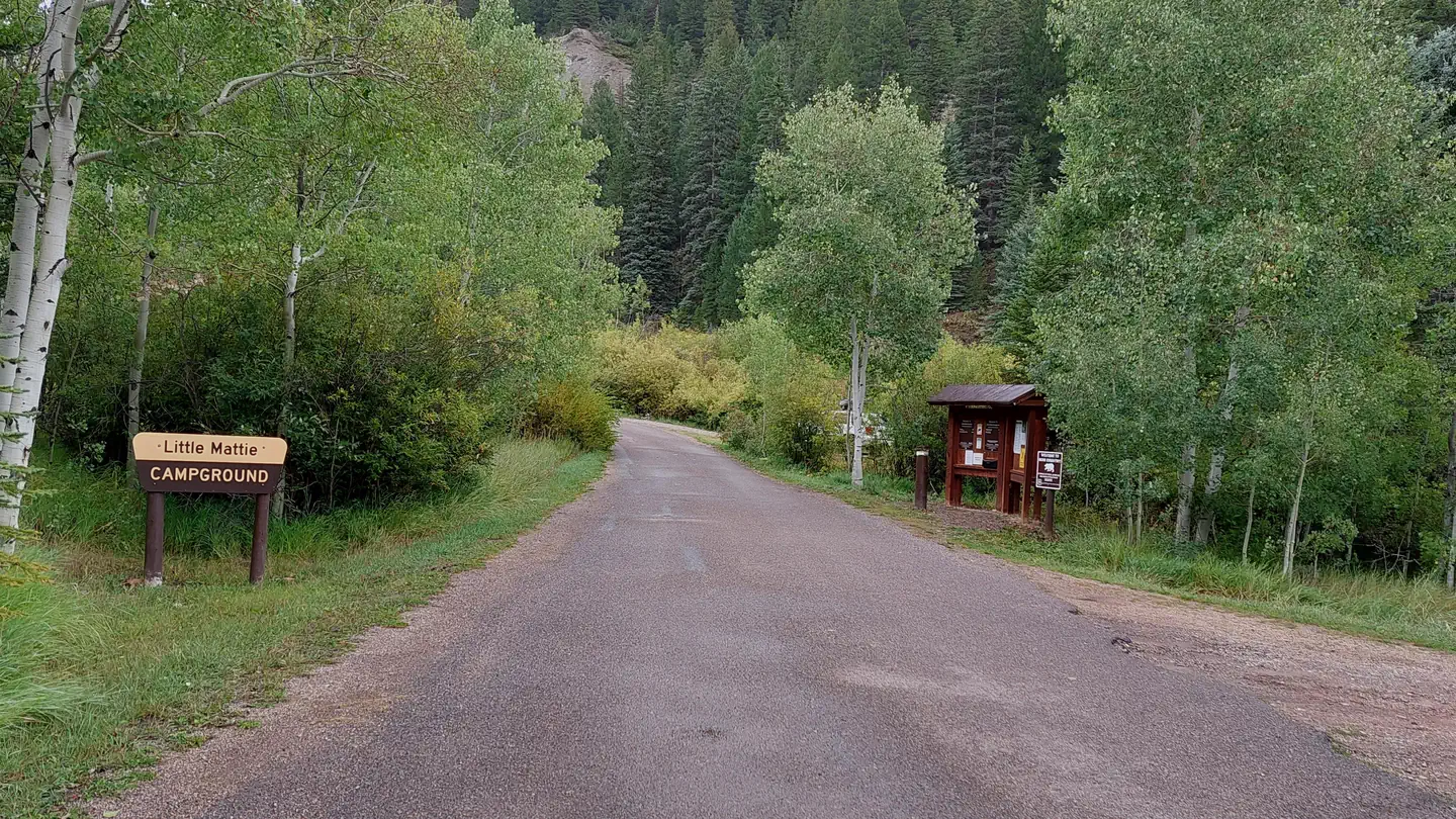 Little Mattie CampgroundCampground · 18 sites
Overview Located approximately 14 miles eat of Basalt, CO, in the White River National Forest, Little Mattie Campground is situated on the Ruedi Reservoir at…
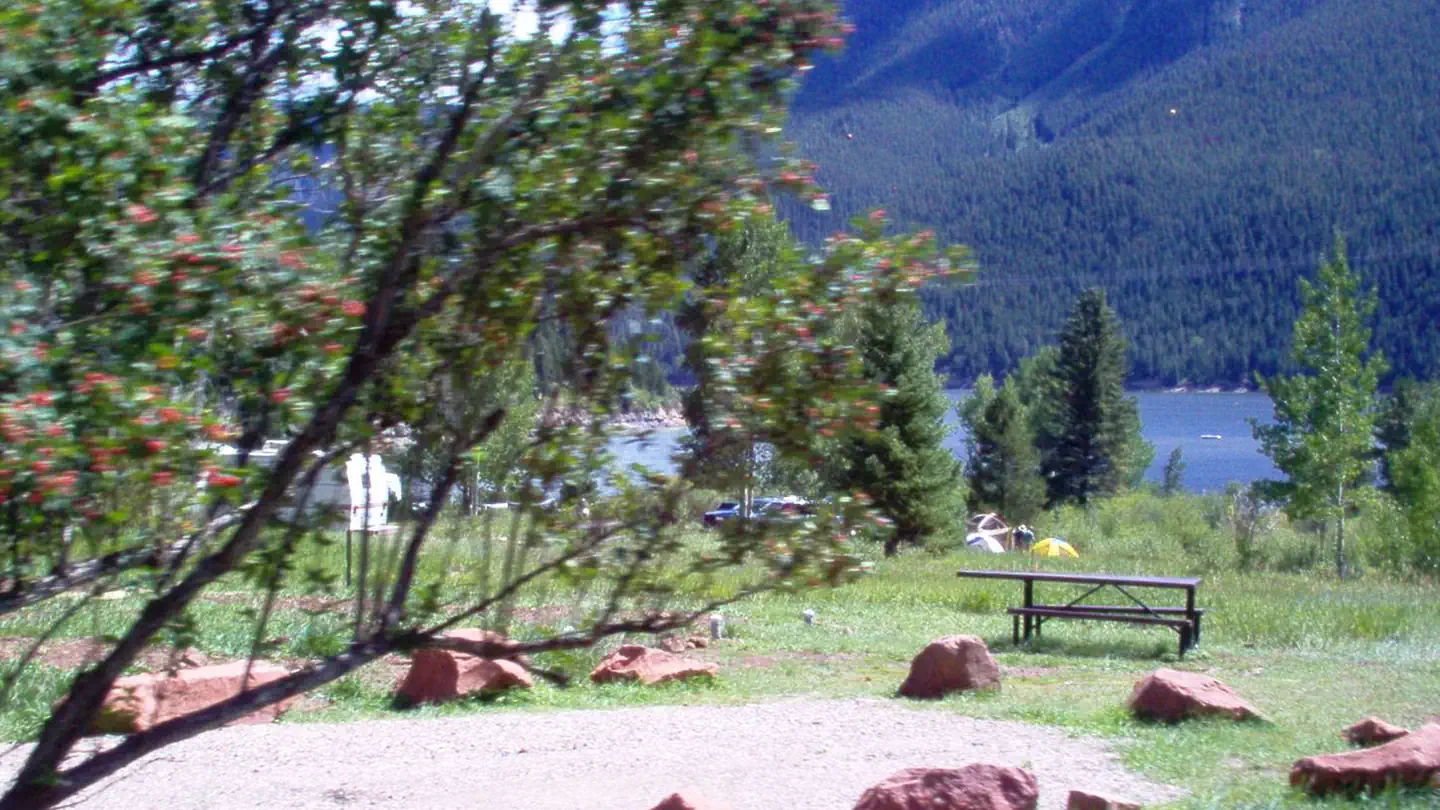 Little Maud CampgroundCampground · 21 sites
Overview Located approximately 14 miles east of Basalt, Colorado, in the White River National Forest, Little Maud Campground is situated on Ruedi Reservoir at…
- Lobo TrailheadFacility · not watchable
Lobo Overlook will be closed on Wednesday September 5th and Thursday September 6th and the CDT above Spruce Lakes will be intermittently closed Friday…
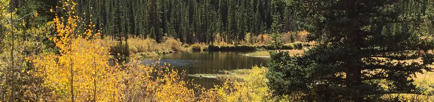 Lodgepole (Jefferson Lake, Fairplay Colorado)Campground · 33 sites
Overview Lodgepole Campground is a creekside destination with incredible Colorado mountain views.
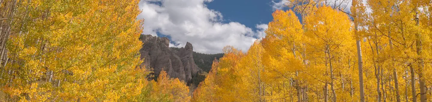 Lodgepole (Taylor River Canyon near Gunnison, COLORADO)Campground · 13 sites
Overview Lodgepole Campground is located 22 miles from Gunnison, COLORADO in the Taylor River Canyon.
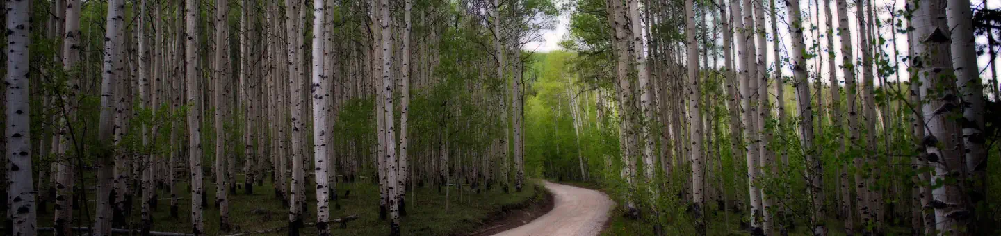 Lone Rock Campground (Co)Campground · 17 sites
Overview Lone Rock Campground, located along the South Platte River, boasts spectacular views and top-notch fly fishing waters.
- Lonesome Lake #2126Facility · not watchable
The Lonesome Lake trail begins at Homestake Road #703 and ends at Lonesome Lake: This is a long but relatively gentle climb through woods and occasional large…
- Long Draw CampgroundCampground · not watchable
Long Draw Campground is situated near Long Draw Reservoir. Long Draw has 25 sites including three double sites. Each site has a picnic table and fire grate.
- Lost Creek #1808Facility · not watchable
The Lost Creek Trail provides a pleasant 3.1 mile hike and access to good fishing for Colorado Cutthroat, Brook and Rainbow trout in Lost Creek.
- Lost Lake #1893Facility · not watchable
The Lost Lake trail begins at Red Sandstone Road #700, passes Lost Lake, and ends at Lost Lake Road #786: From the west trailhead, the trail follows a ridge…
- Lost Lake #2224Facility · not watchable
The Lost Lake trail begins at Forest Road #455 and ends at Lost Lake. Wildflowers, the creek, rock slides, and the lake add to the serenity of this trail,…
- Lost Park #1805Facility · not watchable
The Lost Park Trail begins on the north side of Rio Blanco County Road 8, just before the Lost Creek Guard Station.
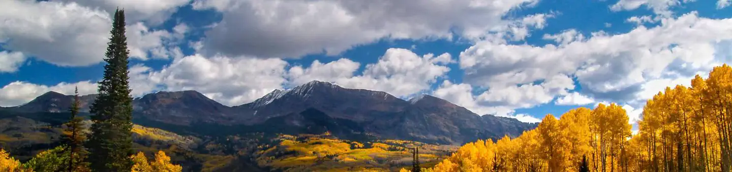 Lottis Creek CampgroundCampground · 48 sites
Overview Located in the Grand Mesa Uncompahgre and Gunnison National Forests, Lottis Creek Campground is at an elevation of 8,600 feet above sea level.
- Love Lake Picnic SiteFacility · not watchable
This picnic site sits on the shore of Love Lake, a small impoundment at the head of Middle Creek.
- Loveland Pass TrailheadFacility · not watchable
The Loveland Pass Trailhead is located just south of I-70 and provides summer and winter recreation opportunities.
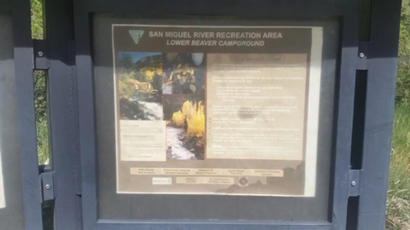 Lower Beaver Rec. SiteFacility · not watchable
The campground is located between CO 145 and the San Miguel River about 0.4 miles downriver from the Beaver Creek Boat Ramp.
- Lower Cataract Lake Loop #57Facility · not watchable
This is a loop trail in the Eagles Nest Wilderness which can be hiked in either direction.
- Lower South Fork Trailhead, Trail 724 & 720Facility · not watchable
There are two trailheads are within 500 yards of each other. The Lower South Fork Trailhead is the main trailhead, and South Fork Trailhead is for overflow…
- Lower/Upper Slate Lakes #65Facility · not watchable
Both Lower and Upper Slate Lakes are set in the spectacular scenery of the Gore Range in the Eagles Nest Wilderness Area.
 Lowry CampgroundCampground · 27 sites
Overview At an elevation of 9,320 feet, Lowry Campground is located between Summit Cove and Breckenridge, Colorado in the White River National Forest.
- Lyle/Morman Lake #1919Facility · not watchable
If you decide to go on this hike, it is one of the most scenic in the Fryingpan River area.
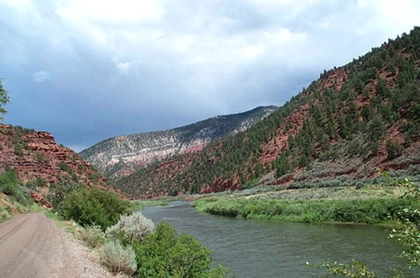 Lyons Gulch Boat LaunchFacility · not watchable
Lyons Gulch is a free BLM site featuring a boat launch, which includes a toilet and five campsites. Campsite #1 can accommodate larger groups.
- Main Elk #2157Facility · not watchable
The Main Elk trail is 2.5 miles long and connects the Clinetop Trailhead to the Mansfield Ditch Trail (#2291).
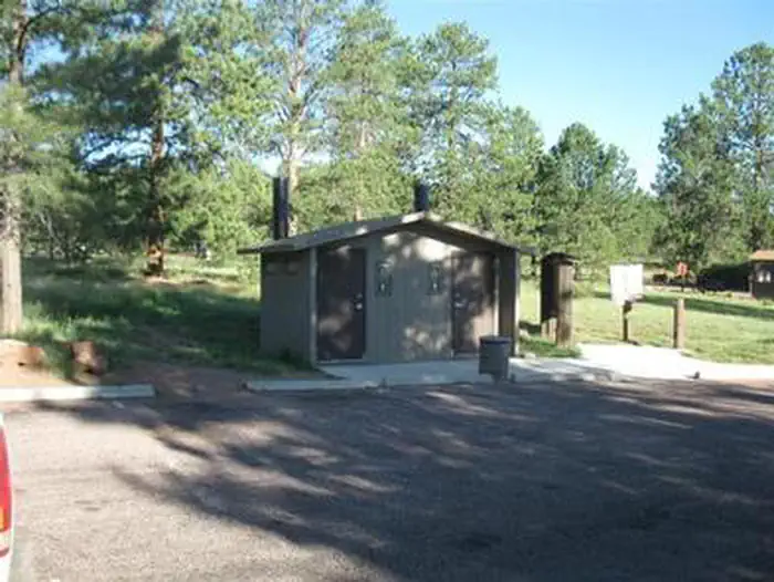 Manitou Lake PavilionCampground · 1 sites
Overview Manitou Lake Picnic Area, is located 7 miles north of Woodland Park, Colorado,.
- Mansfield Ditch #2291Facility · not watchable
The Mansfield Ditch trail is 9.5 miles long and is accessible from Forest Road 820 (elevation 8,800 feet) and Forest Road 245 (elevation 6,700 feet).
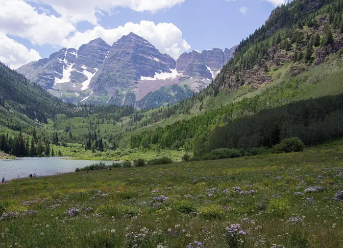 Maroon Bells AmphitheatreCampground · 1 sites
Overview Reputed to be the most photographed mountains in Colorado, the spectacular Maroon Bells dominate this setting.
- Maroon Bells Scenic AreaFacility · not watchable
Welcome to the iconic Maroon Bells area located near Aspen, CO. The Maroon Bells Scenic Area is surrounded by the Maroon Bells-Snowmass Wilderness where…
- Maroon Creek #1982Facility · not watchable
This trail offers a less crowded alternative to viewing the Maroon Valley. There are good views of the Maroon Bells and Pyramid Peak.
- Maroon Lake Scenic #2197Facility · not watchable
The trail starts at the Maroon Lake parking area traversing through a meadow to the far end of Maroon Lake and a Forest Service bulletin board.
- Maroon/Snowmass - Crater Lake #1975Facility · not watchable
ALERT: Due to recent bear activity, bear canisters are required for all backpackers in the Maroon Bells-Snowmass Wilderness.
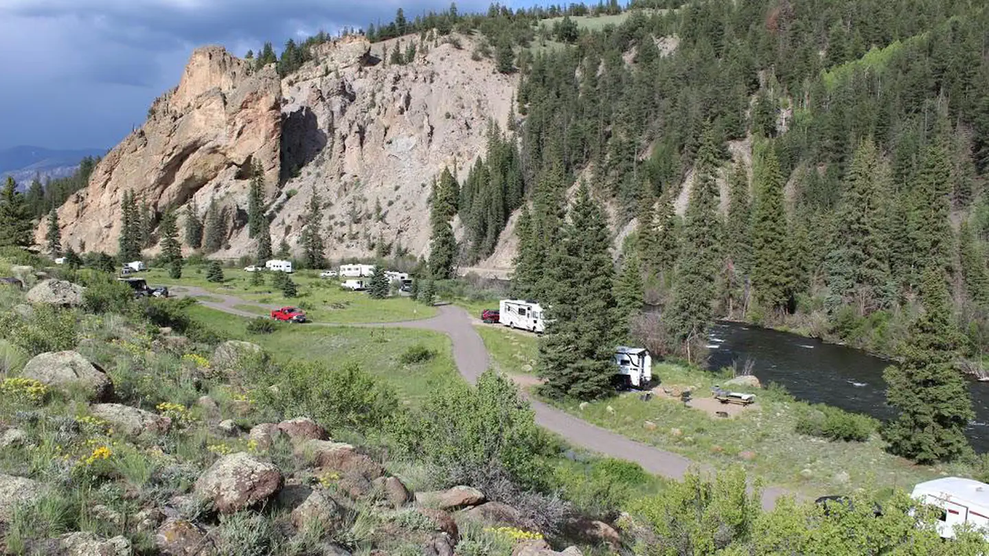 Marshall ParkCampground · 15 sites
Overview Marshall Park Campground is situated in an open meadow on the Rio Grande River with views of Bristol Head Peak and the La Garita Mountains.
- Martin Creek #2128Facility · not watchable
The Martin Creek trail begins in Minturn and ends at Grouse Mountain Trail #2010: The trail climbs steadily as it follows an old road through aspen and then…
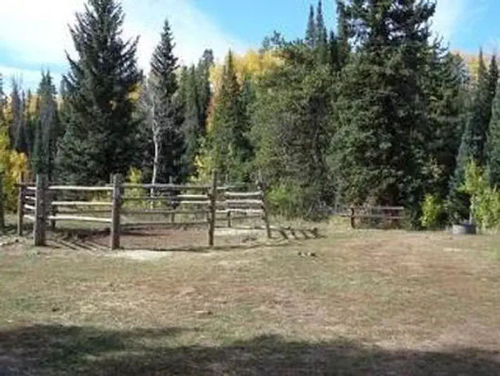 Marvine CampgroundCampground · 22 sites
Overview Marvine Campground is set in a towering grove of mixed conifer and aspen trees on the western slope of the Colorado Rockies at an elevation of 8,200…
- Matchless Boating SiteFacility · not watchable
Matchless provides the boat ramp for Turquoise Lake. Located on the south-eastern shoreline, Recreation Vehicle camping and picnicing areas share this…
- Matchless CampgroundCampground · not watchable
Located on the eastern shore of Turquoise Lake, Matchless Campground is a non-reservable camprground that accomodates larger recreational vehicles. Facilities…
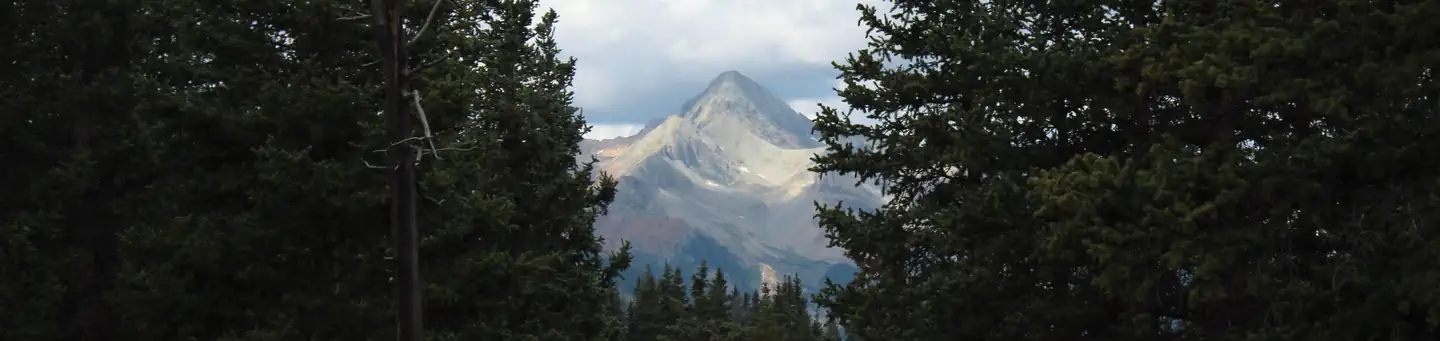 MatterhornCampground · 28 sites
Overview Matterhorn Campground is located along the San Juan Skyway (Colorado Highway 145), near the quaint town of Telluride, at an elevation of 8,500 feet.
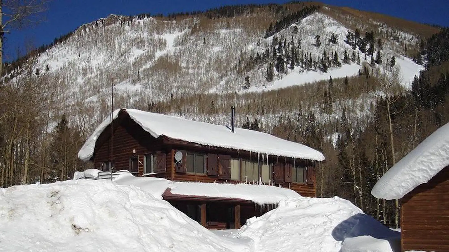 Matterhorn CabinCampground · 1 sites
Overview The Matterhorn Cabin is a great destination for anything from a family reunion to a week-long ski trip.
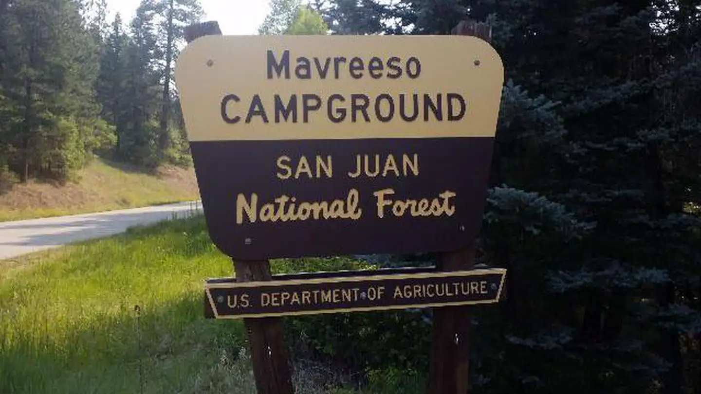 Mavreeso CampgroundCampground · 19 sites
Overview Mavreeso Campground is located on the West Dolores Road (Forest Road 535), which branches north from Colorado Highway 145 about 20 miles northeast of…
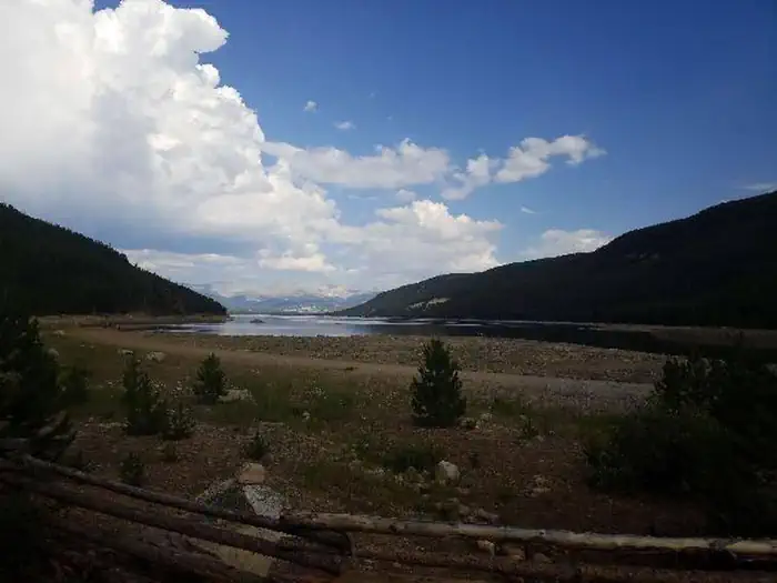 May QueenCampground · 13 sites
Overview May Queen Campground is located at the far western end of Turquoise Lake in a shaded lodgepole pine forest.
- McAllister Gulch Road #708Facility · not watchable
McAllister Gulch Road #708 begins at Camp Hale and ends at Shrine Pass Road #709. This is a rough 4WD road that requires a high-clearance 4WD vehicle.
- McDonald Creek TrailheadFacility · not watchable
Hike along a stream bed for several miles to the Colorado River in search of rock art sites among outstanding scenery.
- McGinnis #2213Facility · not watchable
Access McGinnis Lake via this spur off the Skinny Fish Trail #1813. The Skinny Fish Trail begins with a steep, 1-mile climb from the trailhead and then enters…
 McPhee Recreation ComplexCampground · 52 sites
Overview McPhee Recreation Complex is located on the south shore of McPhee Reservoir near the town of Dolores in southwestern Colorado.
- Mckenzie Gulch #1869Facility · not watchable
This wooded trail travels from West Brush Creek up to the Powerline Road #414, following McKenzie Gulch with a moderate climb through aspen, mountain maple and…
- Meadow Creek #1891Facility · not watchable
The Meadow Creek trail begins at Lower Piney Riiver Trail #1885 and ends at Soda Lakes Trail #1889: There are several loops to be made by combining this trail…
- Meadow Creek #33Facility · not watchable
This trail enters the Eagles Nest Wilderness and eventually takes you up into the high alpine terrain of Eccles Pass.
- Meadow Lake CampgroundCampground · not watchable
Meadow Lake Campground is located 35 miles north of New Castle via the Buford-New Castle Road (County/Forest Road 245).
- Meadow Lake Picnic AreaFacility · not watchable
The Meadow Lake Picnic Area provides an outstanding location for relaxed recreation in a scenic setting. Amenities include picnic tables, fire rings and vault…
- Meadow Mountain #2124Facility · not watchable
The Meadow Mountain trail begins just south of the Holy Cross Ranger Station off Hwy 24 and ends at the line shack and top of the Whiskey Creek trail: This…
- Meadow Mt. Tie ThruFacility · not watchable
The Meadow Mt. Tie Thru trail connects the Meadow Mountain trail #748 to the West Grouse Creek Trail #2129: This trail can be used in conjuction with the…
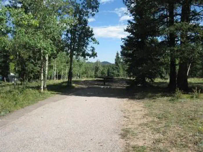 Meadow RidgeCampground · 18 sites
Overview Located about 10 miles from the town of Woodland Park, Colorado, Meadow Ridge Campground is pleasantly situated on a ridge above the Rampart…
- Meadow Ridge CampgroundCampground · not watchable
Meadow Ridge Campground is located 35 miles north of New Castle via the Buford-New Castle Road (County/Forest Road 245).
 Meadows Group CampgroundCampground · 2 sites
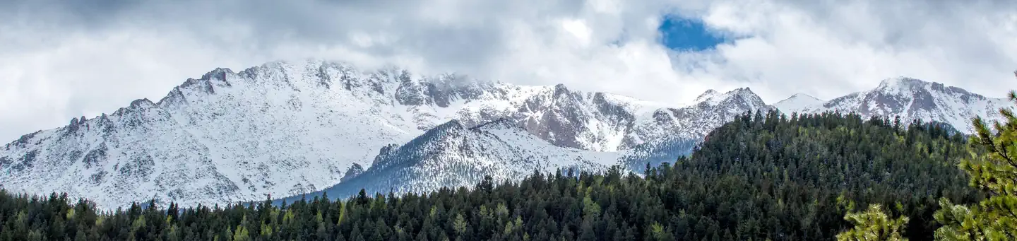
Overview Meadows Group Campground offers a wonderful opportunity for groups to enjoy the great outdoors.
- Meeker Park Overflow CampgroundCampground · not watchable
There are 29 first-come, first-served campsites that allow tents, campers, trailers, and RVs. Sites are best for tent camping due to unpaved roads, steep hills…
- Meeker TrailsFacility · not watchable
The town of Meeker is largely an agricultural community, located in the wide fertile valley of the White River in northwestern Colorado.
 Mesa Verde MuseumVisitor Center · not watchable
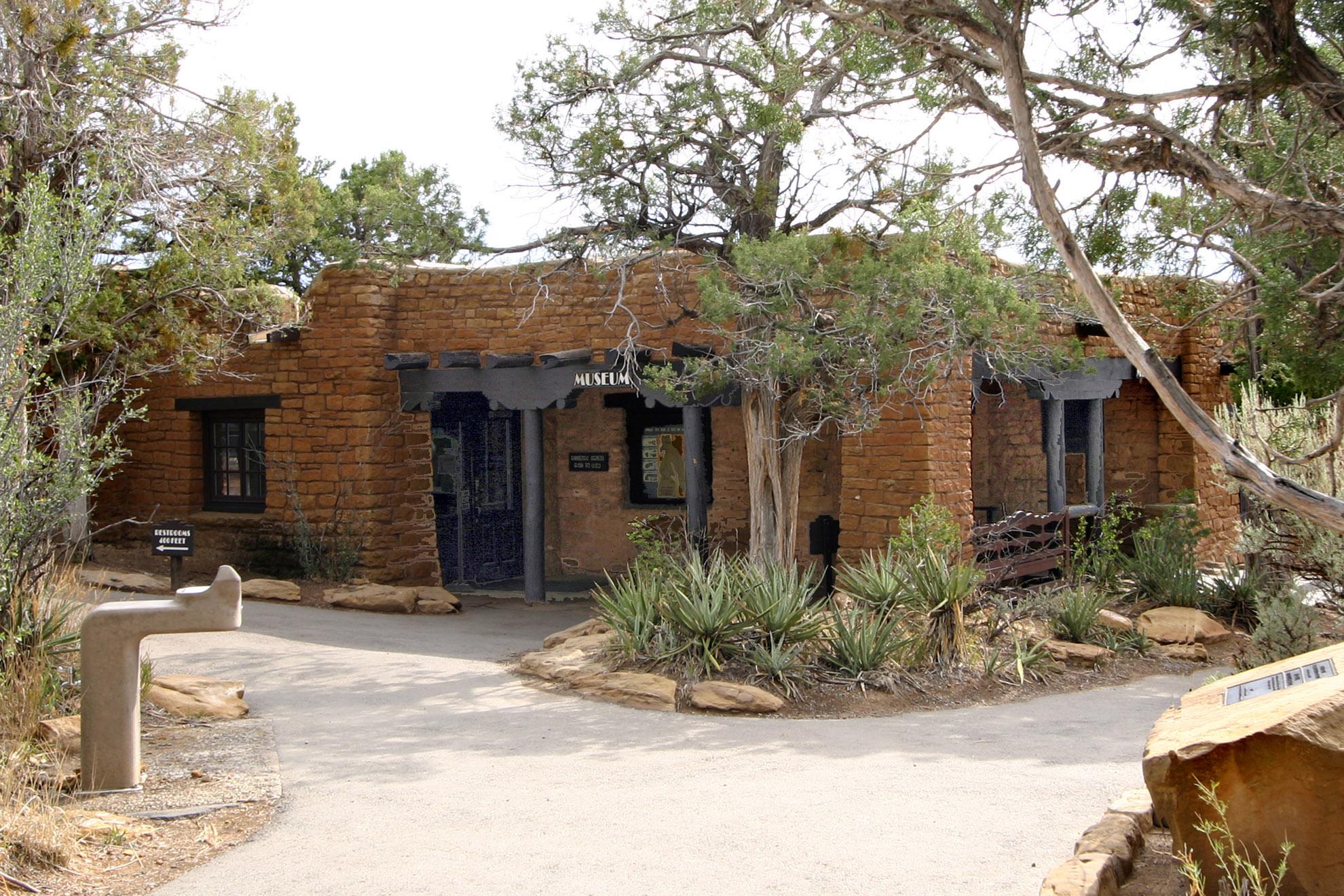
Located at milepost 20, the Mesa Verde Mesa Museum offers exhibits and cultural objects that provide insight into the Ancestral Pueblo lifeways.
 Mesa Verde National ParkTickets
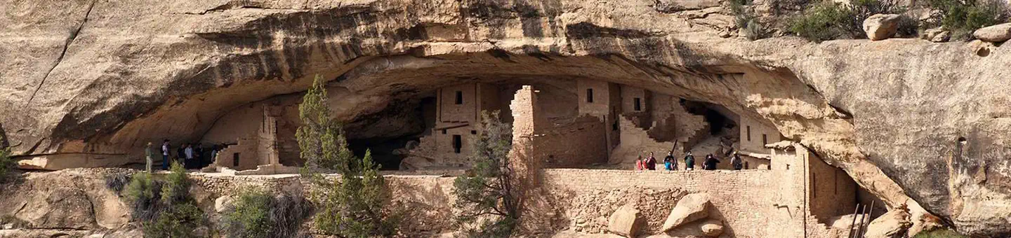
Overview: Mesa Verde, Spanish for green table, offers a spectacular look into the lives of the Ancestral Pueblo people who made it their home for over 700…
 Mesa Verde Visitor and Research CenterFacility · not watchable
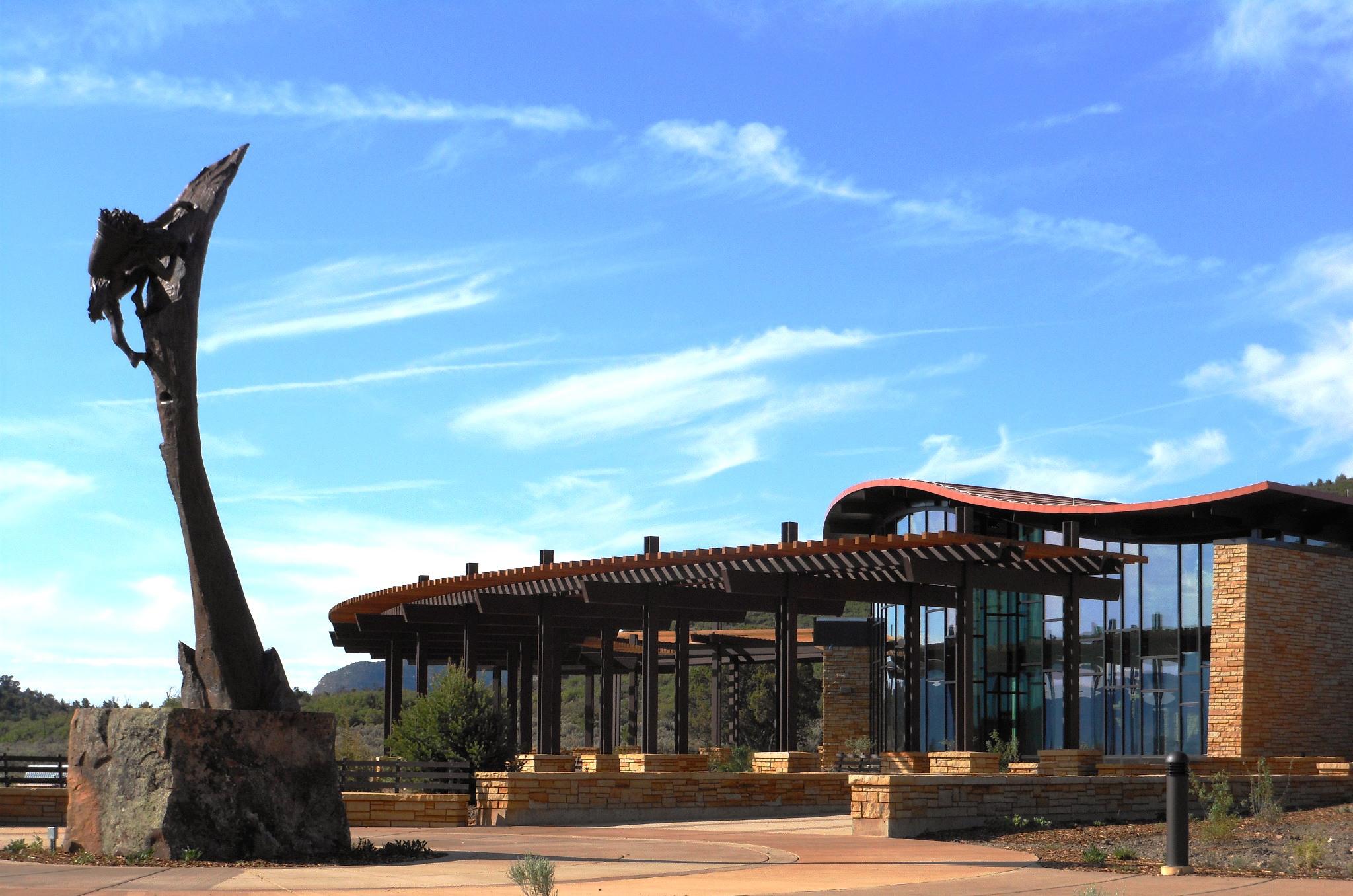
Located at the park entrance, off Highway 160, this is the park’s primary facility for orienting visitors to opportunities within the park and surrounding…
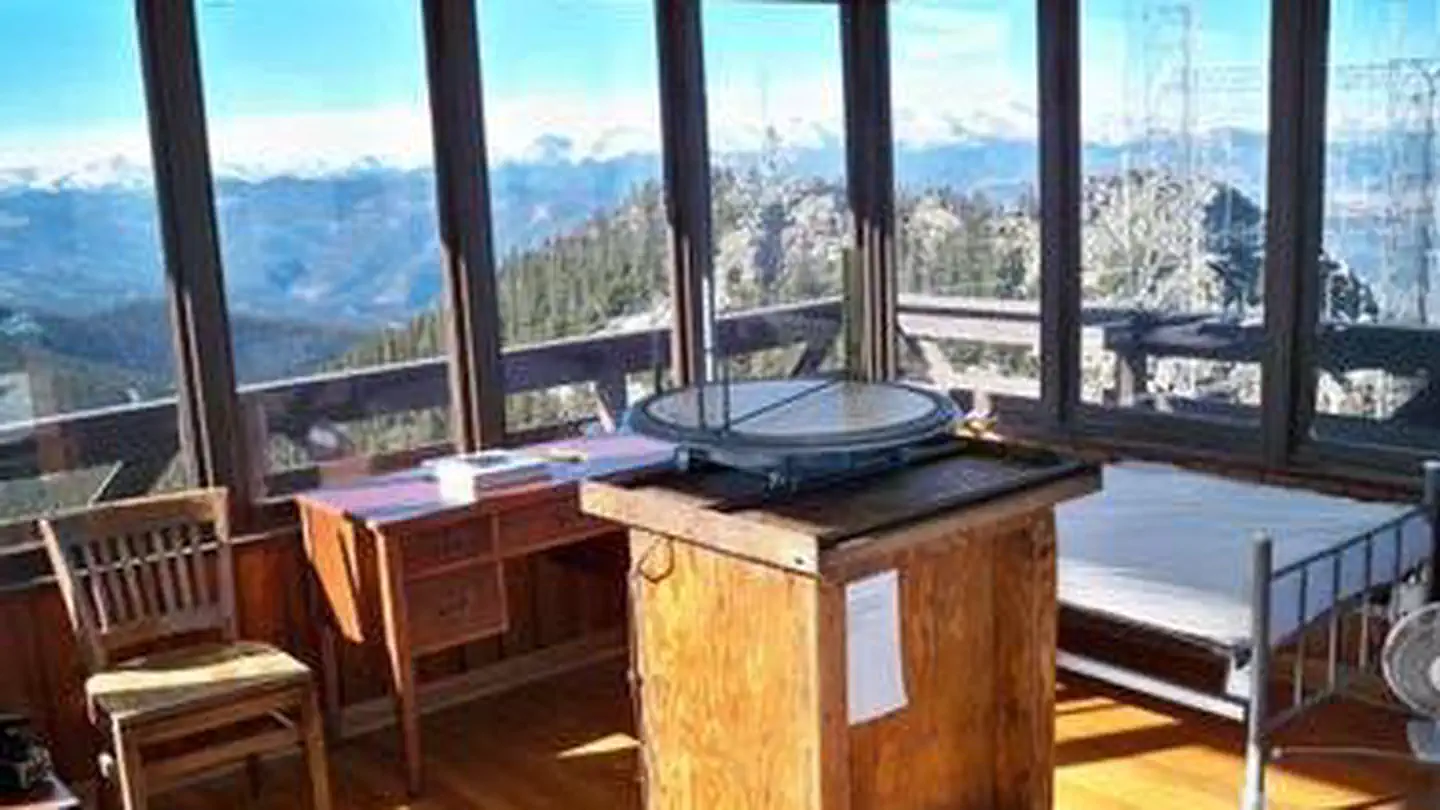 Mestaa’ėhehe Mountain Fire LookoutCampground · 1 sites
Overview The Mestaa’ėhehe (pronounced mess-taw-HAY) Mountain Fire Lookout is located directly off of Colorado Highway 103 west of Bergen Park and sits at the…
- Middle Creek Road #719 (winter)Facility · not watchable
This route starts at Red Sandstone Road and ends at the Eiseman Hut: The trail begins at the Forest Service road closure on Red Sandstone Road #700.
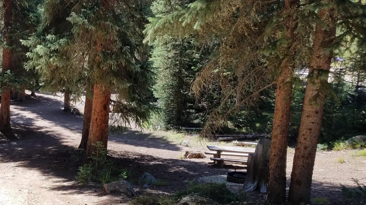 Midland Group CampgroundCampground · 1 sites
Overview Midland Group Campground is located along the Fraser River, just south of Winter Park.
- Miners Creek #38Facility · not watchable
This trail starts near the town of Frisco and eventually takes you up and over the Tenmile Range and junctions with the Wheeler National Recreation Trail which…
 Mingus RanchCampground · 1 sites
Overview Mingus Ranch is a cabin where guests can step back in time and feel like they're staying on an early 20th century homestead.
- Missouri Lakes #2033Facility · not watchable
The Missouri Lakes trail is 4.4 miles long. It begins at Missouri Creek Road #704 and ends at Cross Creek Trail and Fancy Pass Trail #2006: The first mile of…
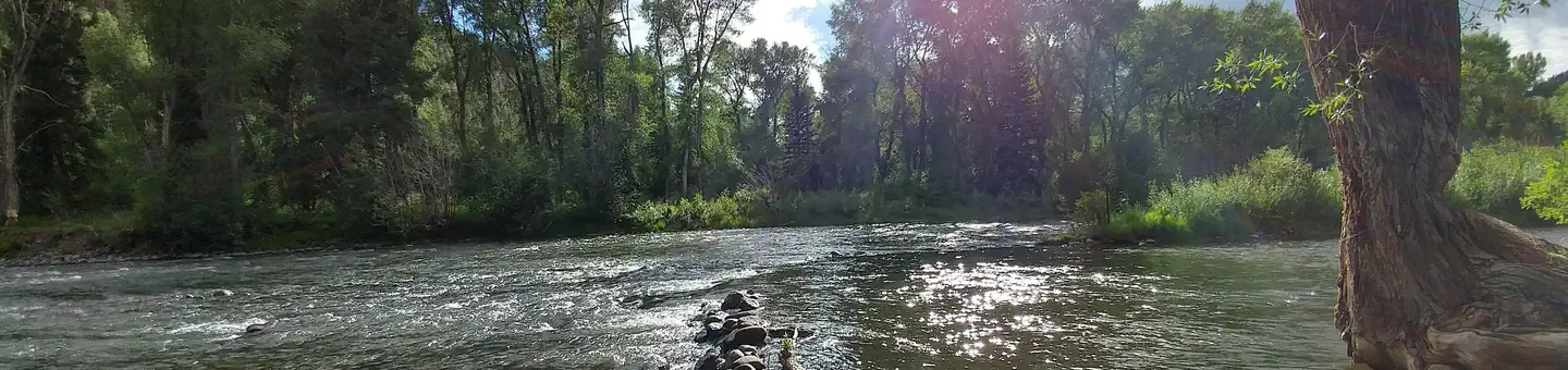 MogoteCampground · 43 sites
Overview Mogote Campground is located along the Conejos River, making it a perfect location for fishing and hiking.
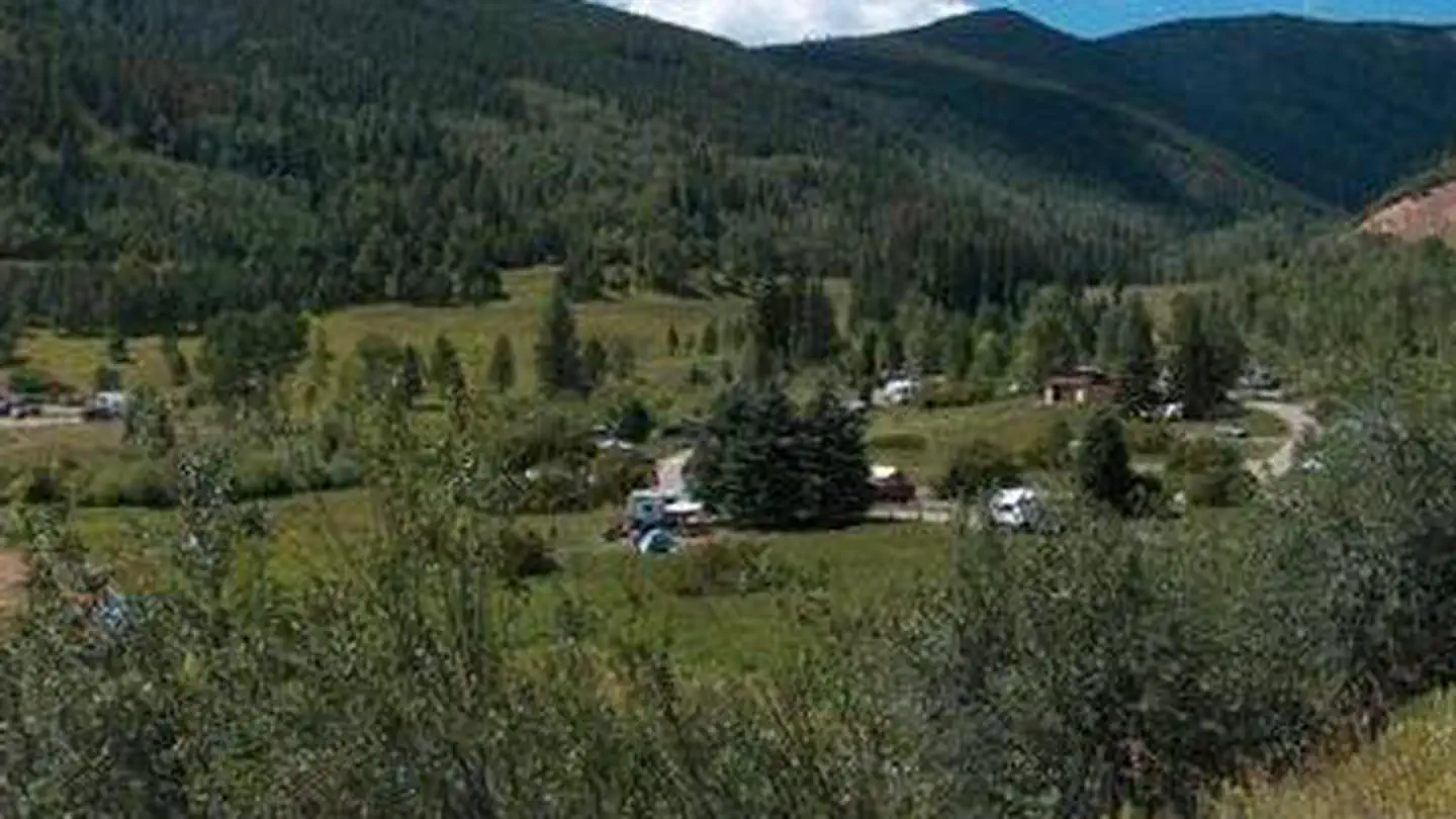 Mollie B_white RiverCampground · 25 sites
Overview Located approximately 14 miles east of Basalt, Colorado in White River National Forest, Mollie B White River Campground sits adjacent to the Ruedi…
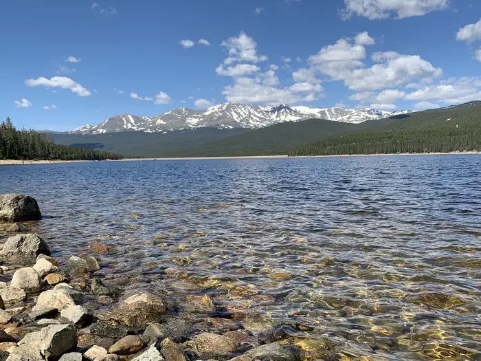 Molly BrownCampground · 45 sites
Overview Named after the "unsinkable" Molly Brown on the Titanic, Molly Brown Campground, on the eastern shore of Turquoise Lake, sits in a shaded lodgepole…
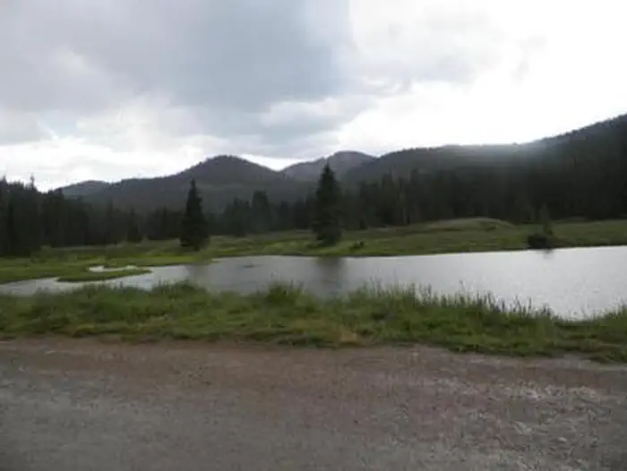 Monarch ParkCampground · 35 sites
Overview After being closed the past couple of years for renovations, look for Monarch Park to reopen in late summer 2026.
- Monarch Pass Overlook & TrailheadFacility · not watchable
Monarch Pass is between Gunnison and Poncha Springs along Colorado’s Highway 50, which crosses the Continental Divide at 11,312 feet, offering sweeping vistas…
- Monarch Ski AreaFacility · not watchable
Monarch Ski Area is located near the summit of Monarch Pass just 20 miles west of Salida, CO.
- Moody Hill Road (#513)Facility · not watchable
From Masonville: Head north on County Road 27 (Stove Prairie Road) 11 miles to the fork for Buckhorn Road.
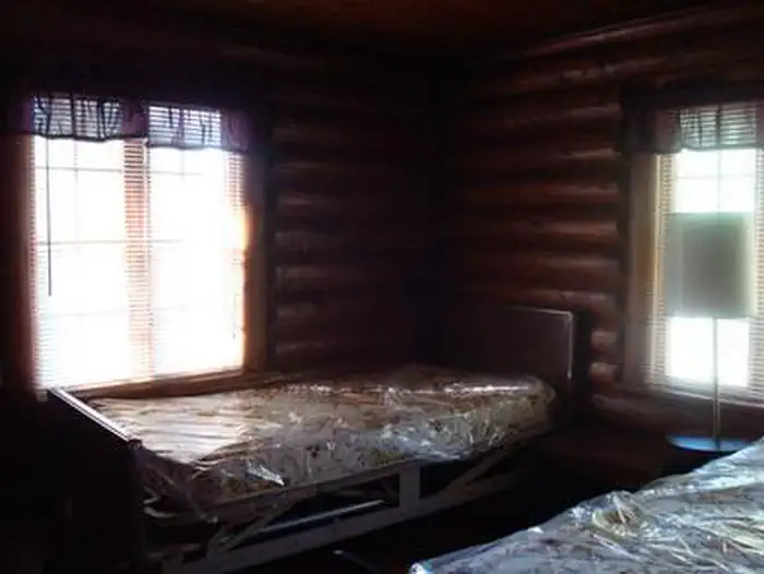 Moose Manor CabinCampground · 1 sites
Overview Moose Manor at Mesa Lakes Recreation Area offers guests the opportunity to stay overnight in a traditional Forest Service ranger station.
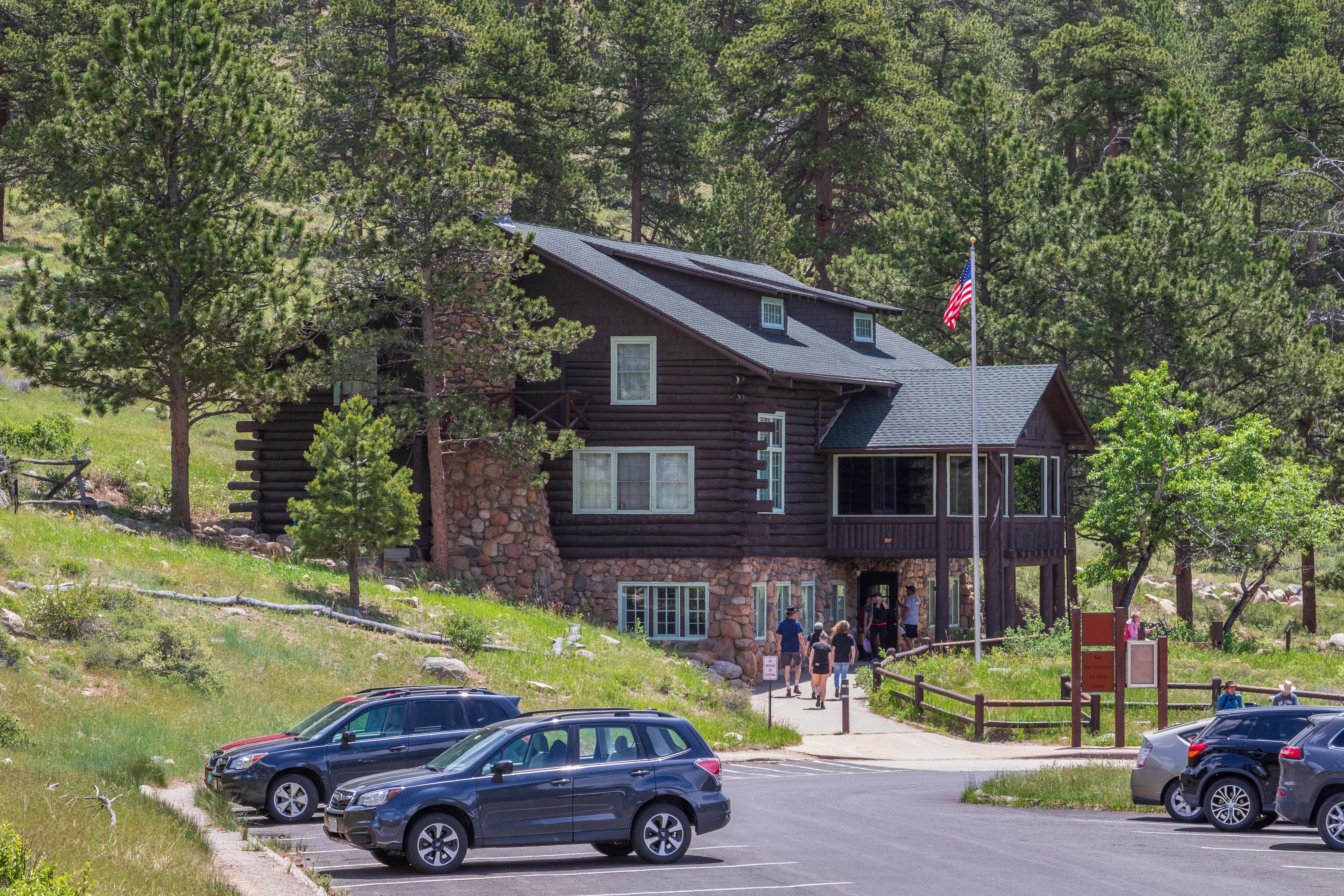 Moraine Park Discovery CenterFacility · not watchable
Moraine Park Discovery Center is open daily during the summer season. Located along Bear Lake Road, the Moraine Park Discovery Center is a great place for…
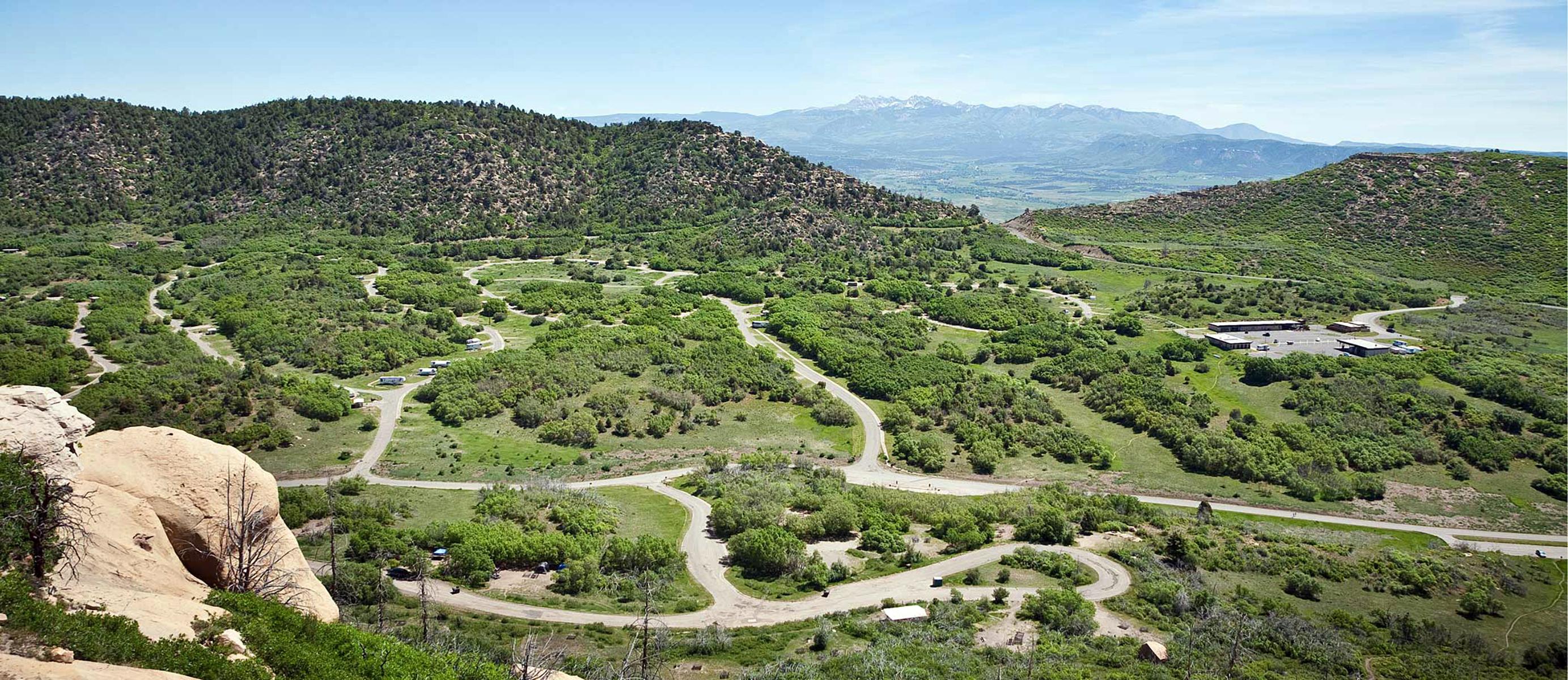 Morefield CampgroundCampground · not watchable
Morefield Campground is four miles from the park entrance. The 267 campsites are situated within a high-elevation, grassy canyon filled with Gambel oak, native…
- Mount Belford (Fourteener)Facility · not watchable
Rising from the Collegiate Peaks Wilderness at 14,197 feet, Mount Belford is the 19th highest peak in Colorado. Named for the 'Red-Headed Rooster of the…
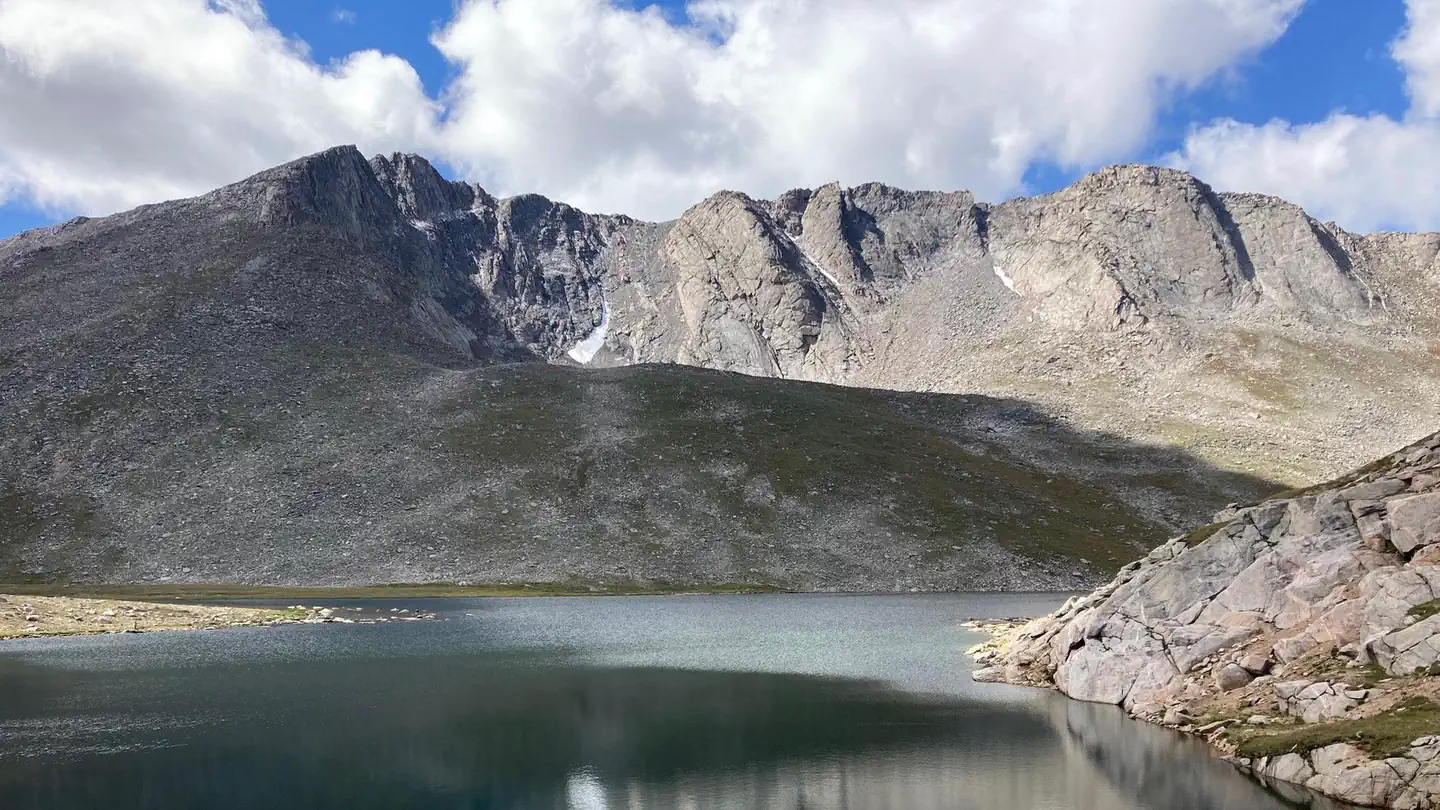 Mount Blue Sky Recreation Area Timed TicketsTimed entry
Welcome to Mount Evans, the 14th tallest 14er in Colorado at 14,264 feet. It also happens to be the highest paved road in North America!
- Mount Elbert Picnic AreaFacility · not watchable
This is the only designated picnic area on Twin Lakes. Amenities include picnic tables, fire rings with grates and a vault restroom.
- Mount Evans Summit / Interpretive SiteFacility · not watchable
Drive the highest paved road in North America. Whether it is for the views, wildlife or history, “The Top” offers something for everyone.
- Mount Evans Wilderness: Arapaho & RooseveltFacility · not watchable
Mount Evans Wilderness was designated by the United States Congress in 1980 and now spans 74,401 acres.
- Mount GarfieldFacility · not watchable
Mount Garfield is an iconic landmark of the Grand Valley located near the town of Palisade.
 Mount Massive WildernessFacility · not watchable
The Mount Massive Wilderness now contains a total of 30,540 acres and is managed by the Fish & Wildlife Service and the Forest Service.
- Mount Missouri (Fourteener)Facility · not watchable
At 14,067 feet, Missouri Mountain is the 36th highest peak in Colorado. Named sometime during themining rush, the exact date of naming for this mountain…
- Mount Oxford (Fourteener)Facility · not watchable
Mount Oxford is 14,153 feet and is the 27th highest peak in Colorado. Named in 1931 after the tradition of naming the mountains after prestigious colleges…
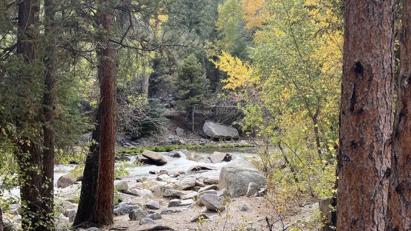 Mount PrincetonCampground · 19 sites
Overview Mount Princeton Campground is located in beautiful Chalk Creek Canyon in central Colorado.
- Mount Royal/Masontown #1Facility · not watchable
This trail climbs through a lodgepole pine forest for approximately 1 mile to the old mining town of Masontown.
- Mount Thomas #1870Facility · not watchable
The Mount Thomas trail begins near Crooked Creek Pass and ends at Forest Road #514.
- Mount of the Holy Cross #2009Facility · not watchable
Mount of the Holy Cross Trail #2009 begins at the end of Tigiwon Road #707 and ends at the top of Mount of the Holy Cross within Holy Cross Wilderness where…
 Mountain ParkCampground · 30 sites
Overview Mountain Park Campground is located on the Cache la Poudre River, 40 miles northwest of Fort Collins, Colo., along Highway 14.
- Mountain Sheep Point Rec SiteFacility · not watchable
Mountain Sheep Point Rec Site, also known as ‘Dove Creek Pumps’ is approximately 19 miles downriver from Bradfield is the Mountain Sheep Point Recreation Site,…
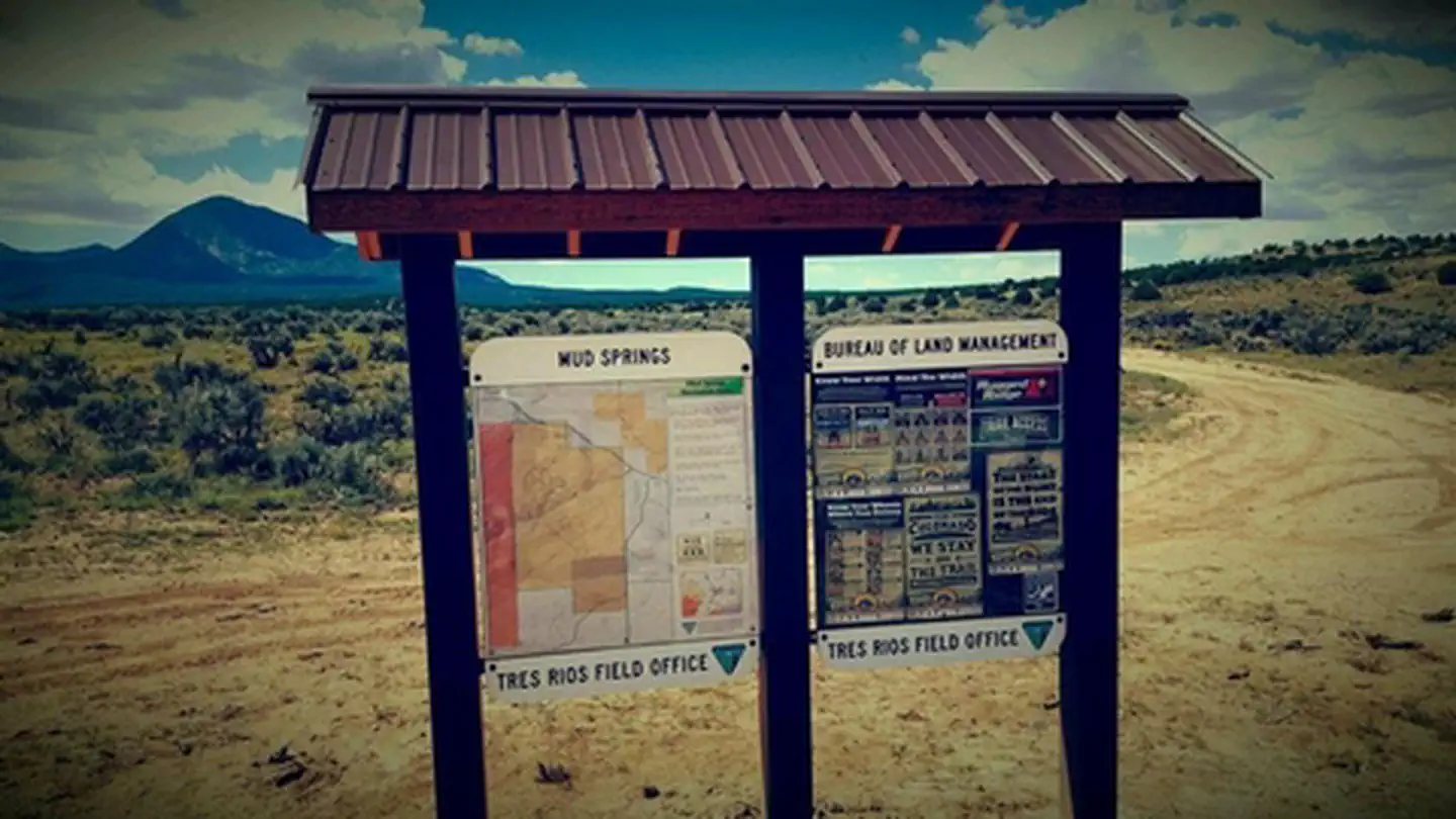 Mud Springs RMZFacility · not watchable
The main recreational planning emphasis for the Mud Springs area is for motorized trails and rock crawling opportunities, though there are also about 4 miles…
- Muddy Creek Fishing Access and Kremmling CliffsFacility · not watchable
Muddy Creek is a tributary of the Colorado River and provides anglers another great option to pursue both Rainbow and Brown trout in the Colorado River Basin.
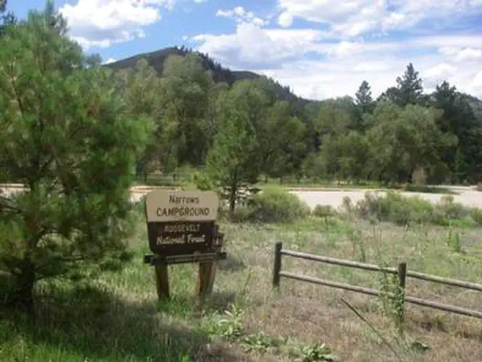 Narrows (Co)Campground · 14 sites
Overview Narrows Campground is located on the Cache la Poudre River, 32 miles northwest of Fort Collins, Colorado, along Highway 14.
- Nellie's #1839Facility · not watchable
This very steep trail begins at a junction with Turret Creek Trail #1832 and ends at the junction with Johnny Meyers Trail #2067.
- Neota Wilderness: Arapaho & RooseveltFacility · not watchable
Designated in 1980, Neota Wilderness now spans a total of 9,924 acres. Bordering Rocky Mountain National Park to the south and surrounded by other…
- Never Summer Wilderness: Arapaho & RooseveltFacility · not watchable
Never Summer Wilderness, designated by the United States Congress in 1980, now encompasses a total of 21,090 acres.
- New York Creek #2182Facility · not watchable
From the parking area, the trail crosses Lincoln Creek. This crossing is very wide and can be tricky during high spring runoffs.
- New York Mountain #1876Facility · not watchable
The New York Mountain trail begins at Baryeta Cabins Road #423 and ends at Nolan Lake Trail #1898.
- Nichols Creek #1830Facility · not watchable
The Nichols Creek Trail begins at South Fork Trail #1827 and ends at Lost Solar Trail #1828.
- No Name Road #705Facility · not watchable
This dirt road starts at Hwy 24 and ends at Hwy 24 again further to the south: This road is flat for the first 1/2 mile before steadily climbing switchbacks…
- Nolan Lake #1898Facility · not watchable
The Nolan Lake trail begins at Nolan Creek Road #418 and ends at Nolan Lake. This wooded trail begins as an old mining road up through aspen, spruce and fir…
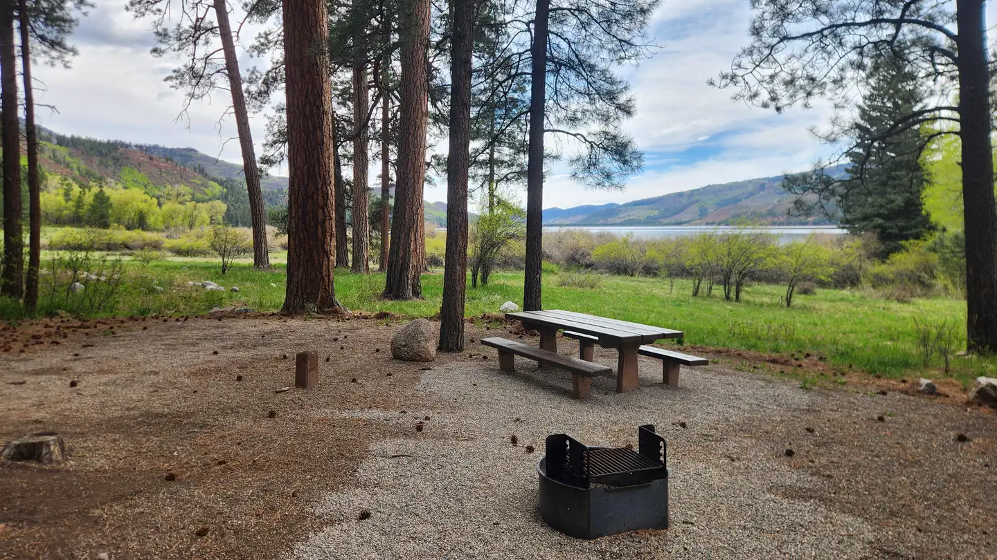 North Canyon CampgroundCampground · 21 sites
Overview North Canyon Campground is situated next to Vallecito Reservoir in southwestern Colorado.
- North Delta OHV Staging AreasFacility · not watchable
The open area covers 8,560 acres about six miles northeast of Delta. While it's open to cross-country travel of all types, including biking and hiking, the…
- North Fork #1974Facility · not watchable
ALERT: Due to recent bear activity, bear canisters are required for all backpackers in the Maroon Bells-Snowmass Wilderness.
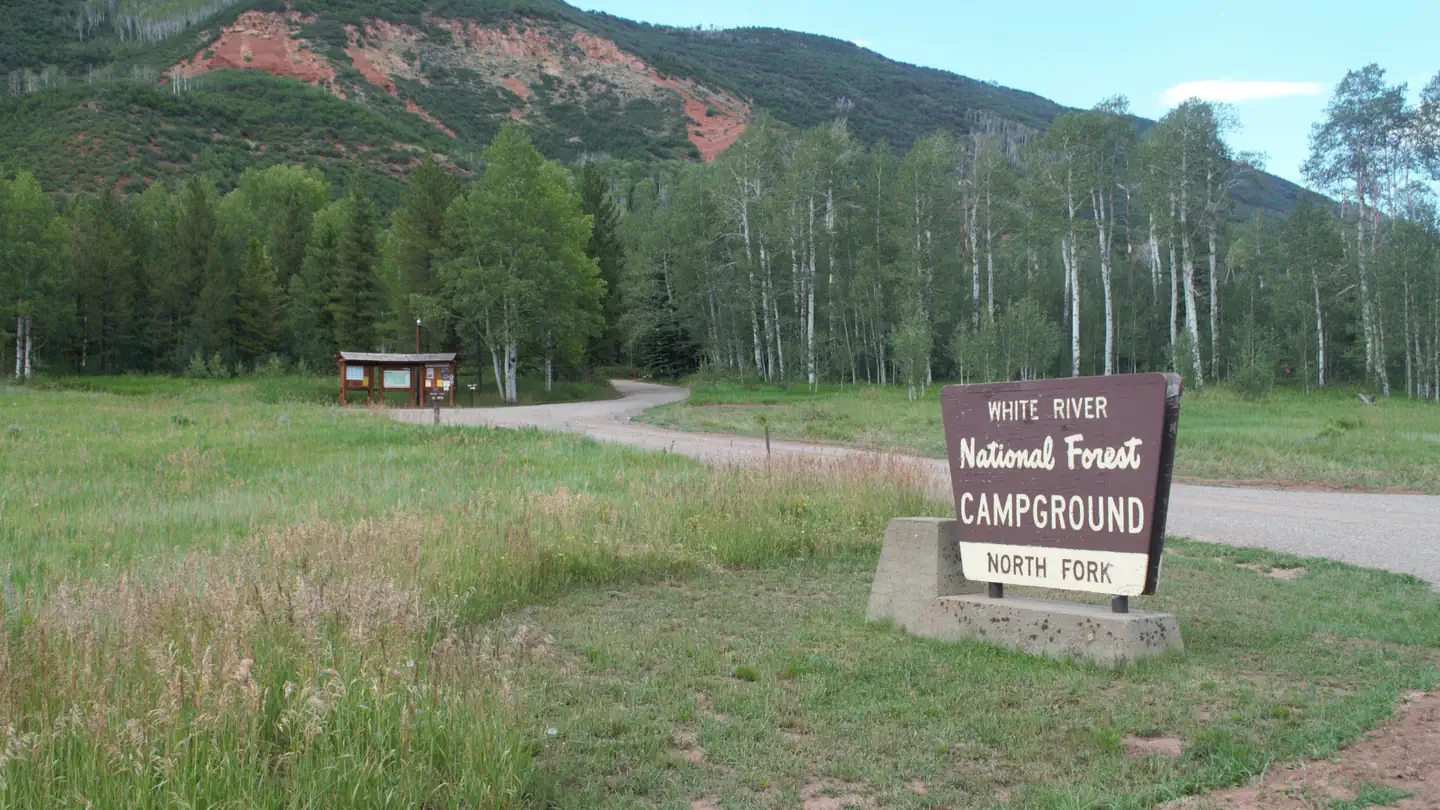 North Fork CampgroundCampground · 28 sites
Overview North Fork Campground is set in a towering aspen grove on the western slope of the Colorado Rockies at an elevation of 7,800 feet.
- North Fork CampgroundCampground · not watchable
This campground is the highest elevation campground on the Salida Ranger District.
- North Fork Cutoff #1976Facility · not watchable
ALERT: Due to recent bear activity, bear canisters are required for all backpackers in the Maroon Bells-Snowmass Wilderness.
- North Fork Poudre CampgroundCampground · not watchable
The North Fork Poudre Campground is located along the Deadman Road west of Red Feather Lakes, near the banks of the North Fork Cache la Poudre River in a dense…
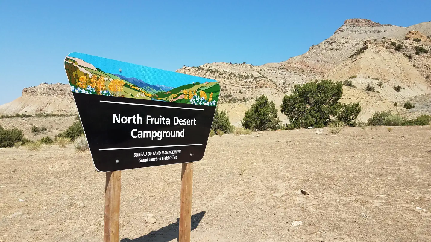 North Fruita Desert CampgroundCampground · 144 sites
Overview The North Fruita Desert campground is a mountain biker’s paradise with campsites situated at the heart of the famous "18 Road" trail system and within…
- North Lost #1967Facility · not watchable
This hike starts in aspens and soon turns into a pine/spruce forest with numerous meadows of wildflowers.
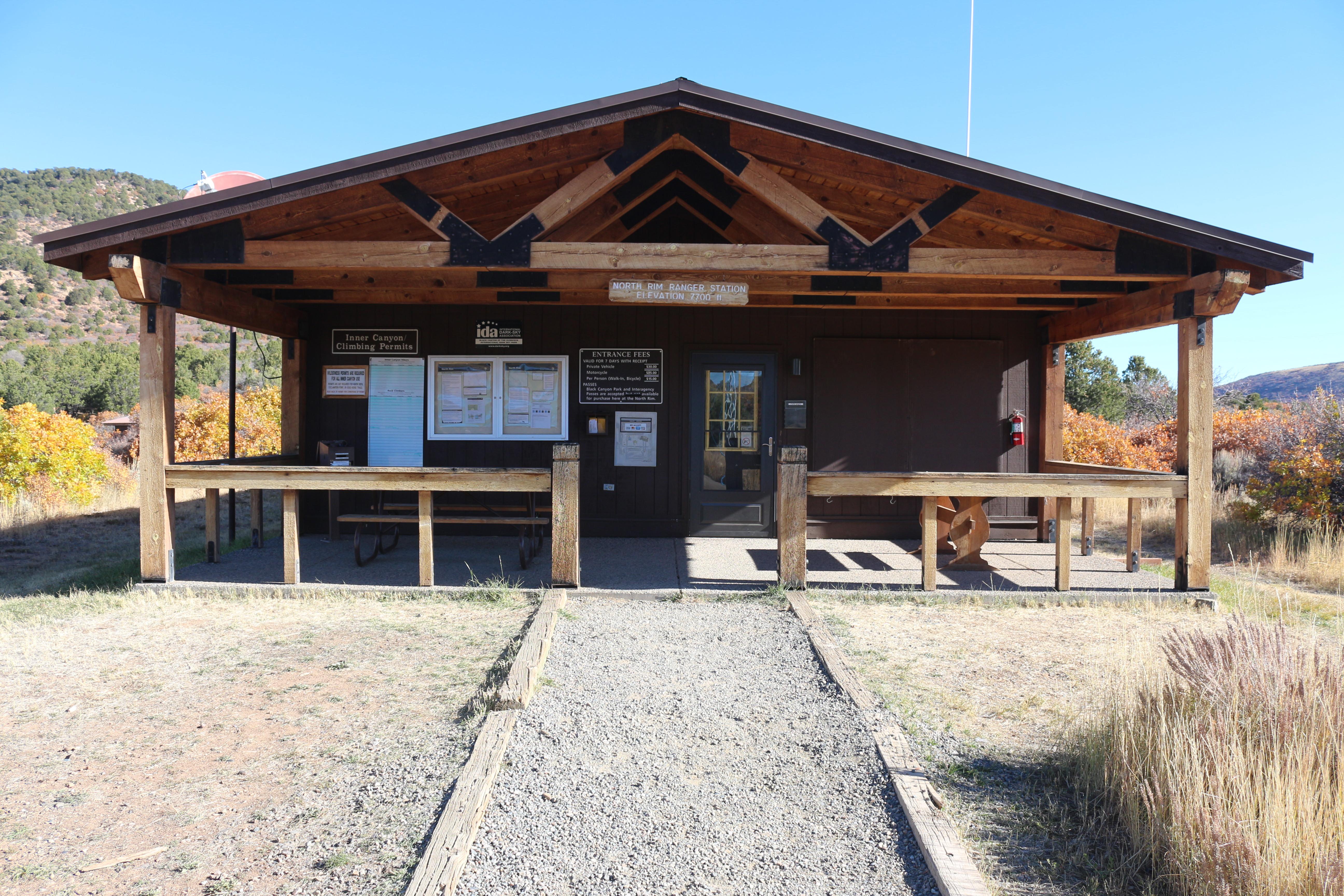 North Rim Ranger StationVisitor Center · not watchable
The North Rim Ranger Station is open intermittently in summer and closed in winter.
- North Vail #1896Facility · not watchable
The North Vail Trail trail begins at Vail's North Frontage Road at exit 176 off of I-70 and ends at the west end of North Frontage Road near exit 173 off of…
- Notch Mountain #2000Facility · not watchable
The Notch Mountain trail begins at Fall Creek Trail #2001 and ends at Notch Mountain: Follow the Fall Creek Trail #2001 for 2.1 miles passing through spruce…
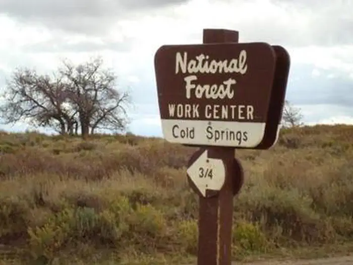 Oak CabinCampground · 1 sites
Overview Oak Cabin attracts outdoor enthusiasts ranging from mountain bikers to hunters to those who love riding off-road.
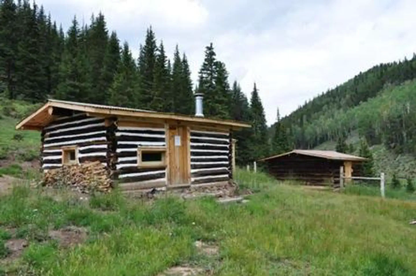 Off Cow Camp CabinCampground · 1 sites
Overview The cabin is only accessible by 50" width or less vehicles and non-motorized uses (e.g. foot or horseback).
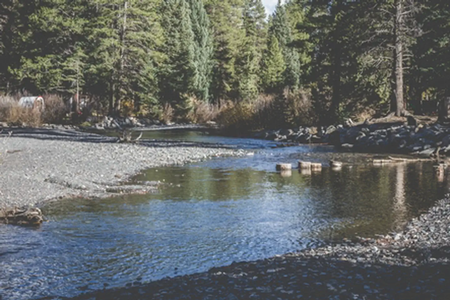 Oh Be Joyful Recreation AreaFacility · not watchable
The BLM manages a 600 acre tract of land near Crested Butte, CO in the Slate River Valley as the Oh Be Joyful Recreation Area.
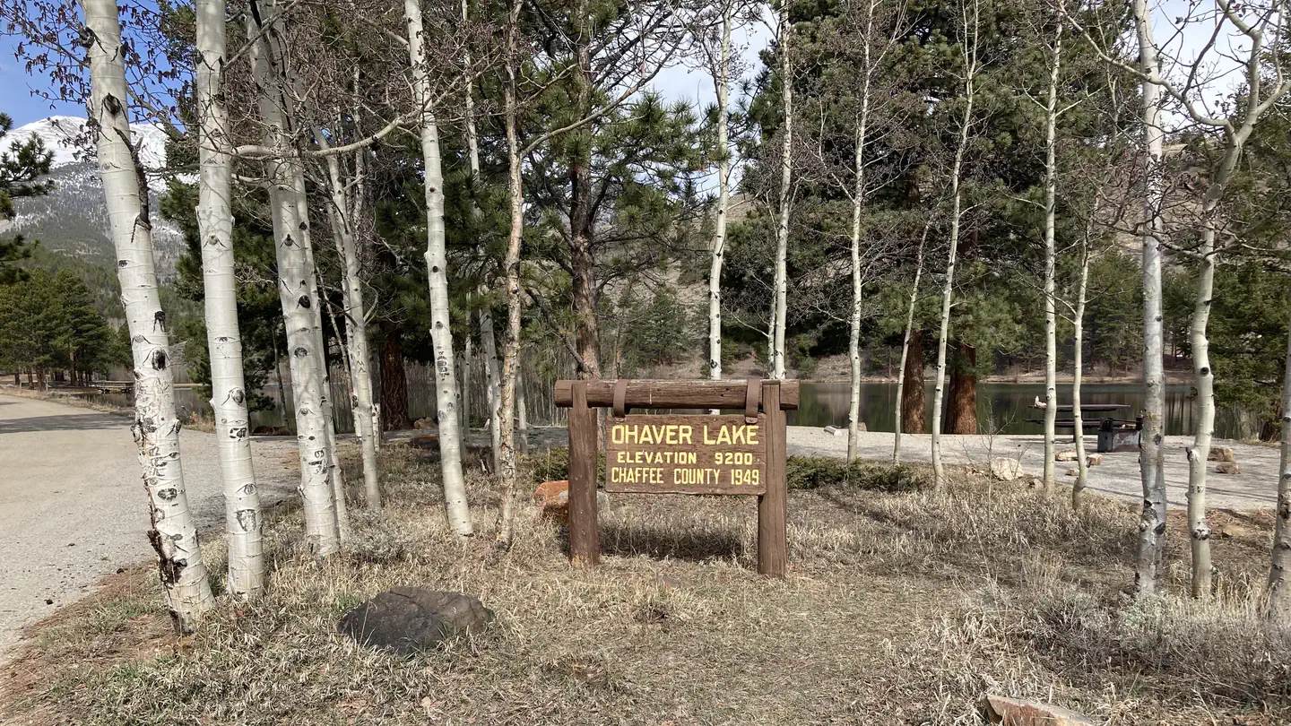 Ohaver LakeCampground · 32 sites
Overview The Forest Service wants your opinion on reserving sites at O’Haver Lake Campground.
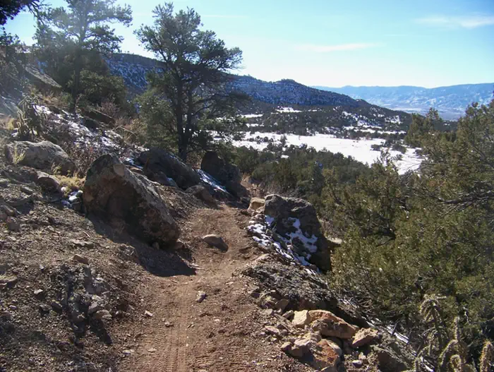 Oil Well Flats Rec AreaFacility · not watchable
Twelve miles of single-track trails invite trail users to Oil Well Flats with its spectacular views of the valley below and the Sangre De Cristo Mountain range…
- Old Dillon Reservoir #87Facility · not watchable
This is a short, easy trail that has spectacular views of the mountains of the Tenmile Range and the Continental Divide.
- Old Roach AreaFacility · not watchable
This area is located in the northwestern corner of the Canyon Lakes Ranger District. It is between the Rawah Wilderness and the Colorado/Wyoming border.
- Old Timers Day Use AreaFacility · not watchable
Old Timers Day-Use Area, on the east shore of Vallecito Reservoir, is 1.5 miles north of the dam on County Road 501A (Forest Rd. 603).
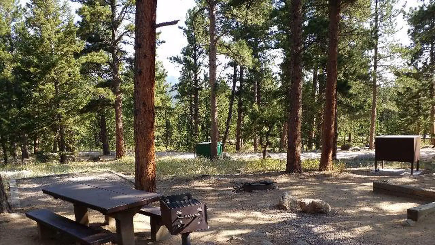 Olive RidgeCampground · 53 sites
Overview The Olive Ridge Campground is located within the Roosevelt National Forest, situated near the southeastern corner of Rocky Mountain National Park at…
- One MileCampground · 18 sites
Overview One Mile Campground is located 18 miles from Gunnison, CO in the Taylor River Canyon.
- Orchard Boat RampFacility · not watchable
Orchard Boat Launch is the last public boater take-out on the Gunnison River before Confluence Park in Delta.
- Pagoda #1804Facility · not watchable
The Pagoda Lake Trail trail is 7.3 miles long. It begins at Rio Blanco County Road 8 and ends at Forest Road 230. The trail heads northwest out of the parking…
 Painted RocksCampground · 18 sites
Overview Painted Rocks Campground is located a short distance from Manitou Lake Picnic Area and the Centennial Bike Trail in central Colorado.
 Palisades Horse CampCampground · 12 sites
Overview Palisades Horse Camp is located 30 miles north of Pagosa Springs, high in the San Juan National Forest.
- Parry Peak CampgroundCampground · not watchable
Parry Peak Campground is a first-come, first-served campground located in a shady lodgepole pine and aspenforest along the whitewaters of Lake Creek.
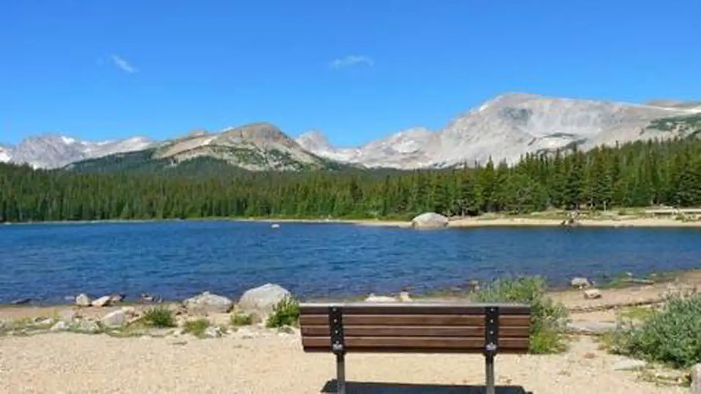 PawneeCampground · 45 sites
Overview Pawnee Campground is located in the Brainard Lake Recreation Area, off the Peak to Peak Scenic Byway, 35 miles south of Estes Park and the main…
- Pawnee Bird TourFacility · not watchable
May 29, 2018 Update: Recent rains have flooded some areas and made others muddy. County Road 96 on the east side of the bird tour is experiencing some…
- Pawnee Buttes TrailheadFacility · not watchable
The Pawnee Buttes are located in the northeast corner of Weld County, Colorado, approximately 13 miles south of the Wyoming border. A predominant geologic…
 Peaceful ValleyCampground · 16 sites
Overview Peaceful Valley Campground is situated in a glacial valley, on the banks of the Middle Saint Vrain Creek at an elevation of 8,500 feet in northern…
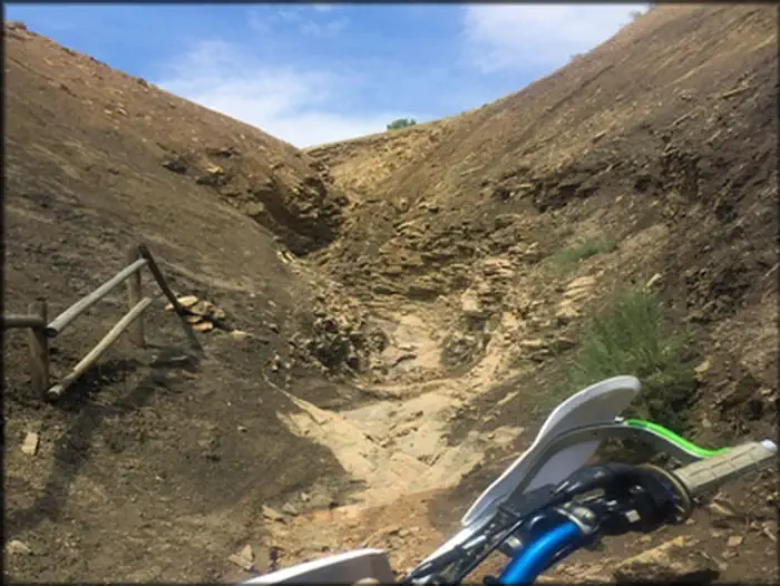 Peach Valley OHV Staging AreaFacility · not watchable
The Flat Top-Peach Valley OHV Recreation Area (9,700 acres) is managed by the Bureau of Land Management for responsible motorized recreation.
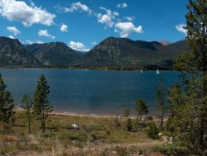 Peak OneCampground · 77 sites
Overview Peak One Campground is located on the Dillon Reservoir near the town of Frisco, offering an abundance of recreational activities.
- Peaks #45Facility · not watchable
This is a one way multi-use trail that starts from either the town of Frisco or Breckenridge, CO.
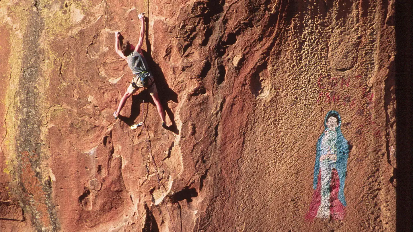 Penitente Canyon CampgroundCampground · 17 sites
Overview The canyonlands of Penitente Canyon offer a blend of peaceful surroundings and diverse recreation opportunities less than 10 miles from a major…
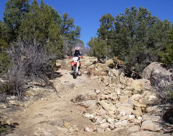 Penrose Common Rec SiteFacility · not watchable
Penrose Commons Recreation Area offers a warm, arid climate among pinon and juniper woodlands.
- Petroleum/Anderson Lake #1991Facility · not watchable
The Petroleum Lake trail follows Anderson Creek gradually climbing an old jeep road and passing through fir forests before emerging into alpine tundra.
- Piceance-East Douglas HMAFacility · not watchable
This 190,000-acre location is host to numerous activities on the public land from mining to oil drilling to livestock grazing.
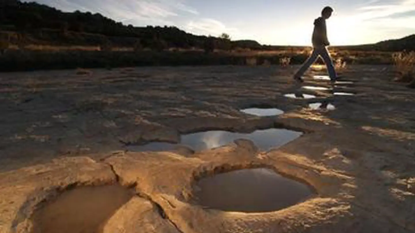 Picket Wire Canyonlands Guided Auto TourTickets
Overview: For a unique and unforgettable family experience, tour Picket Wire Canyonlands.
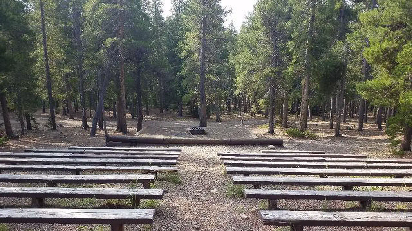 Pickle GulchCampground · 7 sites
Overview Pickle Gulch is a group picnic and camping facility located just off the Peak to Peak Scenic Byway/Highway 119.
- Pierce Elliott Trailhead # 851Facility · not watchable
Directions from Creede: Travel southwest on Colorado Highway 149 for 6 miles, to the intersection of Colorado Highway 149 and Forest Road #523 (Middle Creek…
- Pierson Park Road (#119)Facility · not watchable
Due to the severe damage from the Twin Sisters debris slide during the 2013 Flood, this is no longer a through road.
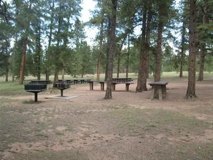 Pike CommunityCampground · 1 sites
Overview Pike Community is a group campground located about 6 miles north of Woodland Park in central Colorado.
- Pikes PeakFacility · not watchable
-Driving- At the altitude of 14,115 feet, Pikes Peak is the 31st highest peak in Colorado. Pikes Peak Highway will take you to the summit house.
- Pinball Access Boat LaunchFacility · not watchable
Pinball Recreation Site includes two separate sites. Pinball River Access and Pinball Recreation Site.
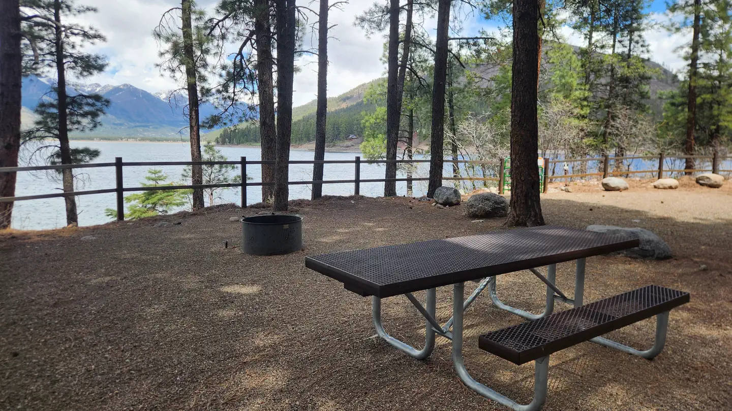 Pine Point (Vallecito Reservoir, CO)Campground · 30 sites
Overview Pine Point Campground is situated next to Vallecito Reservoir in southwestern Colorado.
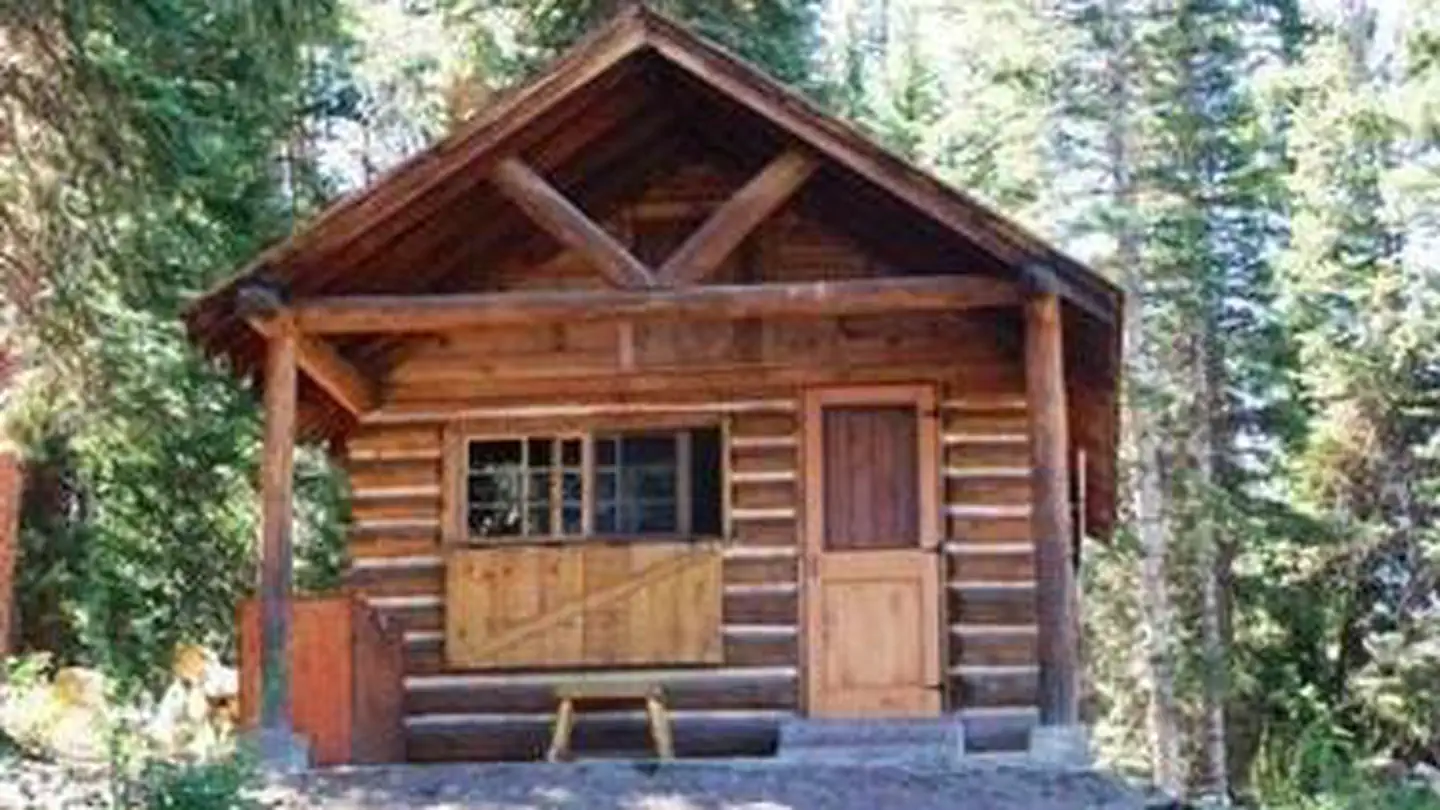 Piney Guard StationCampground · 1 sites
Overview Piney Guard Station is a rustic cabin that was constructed in the 1930s as a work station for Forest Service crews. This 14 by 22-ft.
 Pinon Flats CampgroundCampground · 89 sites
Overview Great Sand Dunes National Park and Preserve is in the San Luis Valley of south-central Colorado at an elevation of 8,175 feet.
- Pitkin #2012Facility · not watchable
The Pitkin Trail begins in East Vail and ends at Pitkin Lake: The first mile of the trail is strenuous as it climbs steeply out of the Vail Valley.
- Placita #1966Facility · not watchable
ALERT: Due to recent bear activity, bear canisters are required for all backpackers in the Maroon Bells-Snowmass Wilderness.
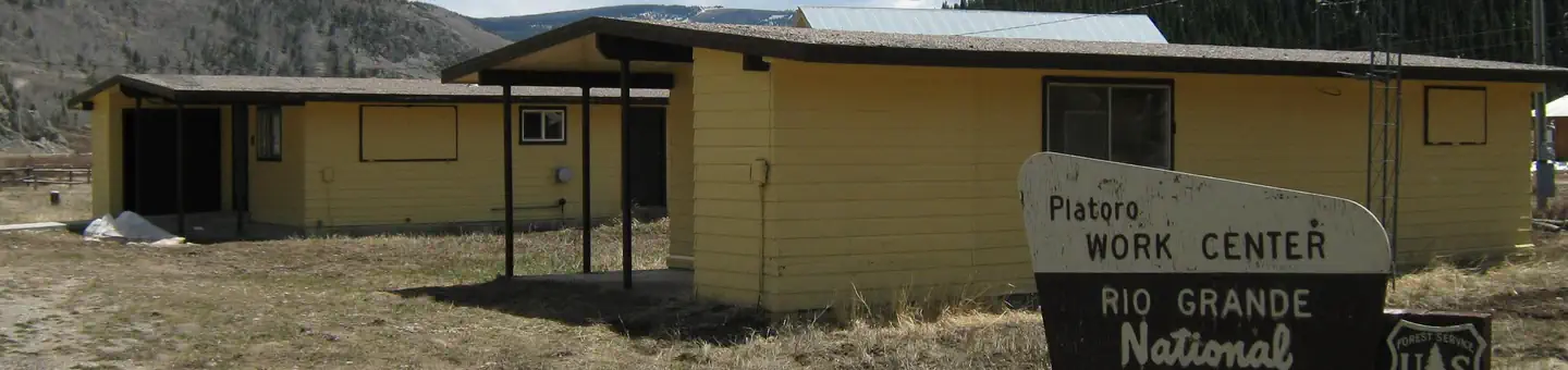 Platoro Cabin 1Campground · 1 sites
Overview Platoro Cabin 1 is located downtown in the small mining town of Platoro, Colorado, at an elevation of 10,000 feet in the Rio Grande National Forest.
 Platoro Cabin 2Campground · 1 sites
Overview Platoro Cabin 2 is located downtown in the small mining town of Platoro, Colorado, at an elevation of 10,000 feet in the Rio Grande National Forest.
- Platoro Reservoir Boating SiteFacility · not watchable
Platoro Reservoir is 990 surface acres in size, at an elevation of 10,000 feet. Fishing is for brown, rainbow and brook trout.
- Point of Rocks Interpretive SiteFacility · not watchable
An important landmark along the Santa Fe National Historic Trail and the third highest point in Kansas, this site offers interpretive signs, access to the…
- Point of Rocks PondsFacility · not watchable
These man-made fishing ponds are stocked with trout in the winter and channel catfish during the summer.
- Pole Hill Road (#122)Facility · not watchable
Pole Hill Road is located 3 miles east of Estes Park off Highway 36. Pole Hill Road starts on private land with many side roads branching off.
- Pollock Bench TrailheadFacility · not watchable
Pollock Bench Trailhead offers exceptional hiking and horseback riding opportunities in a landscape of colorful intricate cliffs and deep canyons that tell a…
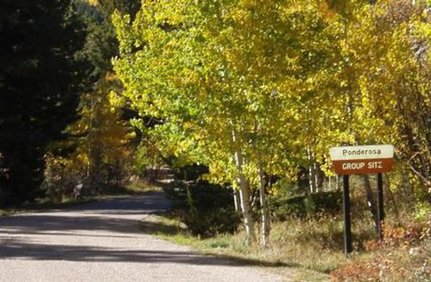 Ponderosa Group - Lake IsabelCampground · 1 sites
Overview Ponderosa Group Campground, located near the sparkling 40-acre Lake Isabel, beckons large groups for picnicking and camping in the Lake Isabel…
- Potosi Vista Interpretive SiteFacility · not watchable
There are 2 interpretive sites. One site is located on the Alamosa Canyon side of Stunner Pass, partway down from the top.
- Powers Fishing AccessFacility · not watchable
Powers Fishing access site is a small BLM facility located on the Colorado River between the communities of Kremmling on the west and Parshall on the east.
 Prairie Point Campground (CO)Campground · 22 sites
Overview Prairie Point Campground is located north of Silverthorne, near the upper end of Green Mountain Reservoir along its east side.
 Printer BoyCampground · 4 sites
Overview Printer Boy Group Campground is located near Turquoise Lake, in an area with plenty of recreational opportunities, including boating, fishing and…
 ProspectorCampground · 106 sites
Overview At an elevation of 9,000 feet, Prospector Campground is in the heart of Summit County in the White River National Forest.
- Ptarmigan Peak #35Facility · not watchable
The Ptarmigan Peak Trail is an excellent trail to experience a panoramic view of all the mountain ranges in the Dillon Ranger District - the Continental…
- Ptarmigan Peak WildernessFacility · not watchable
The United States Congress designated the Ptarmigan Peak Wilderness (map) in 1993 and it now has a total of 12,760 acres.
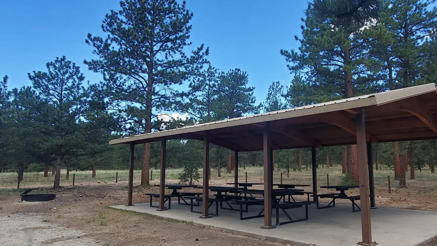 Pulver Mountain Group SiteCampground · 1 sites
Overview Pulver group site offers a private area with large pavilion with several tables and a large communal campfire pit.
 Pumphouse Recreation AreaCampground · 21 sites
Overview Managed by Kremmling Field Office The Pumphouse Recreation Area is part of the Upper Colorado River Special Recreation Management Area (SRMA),…
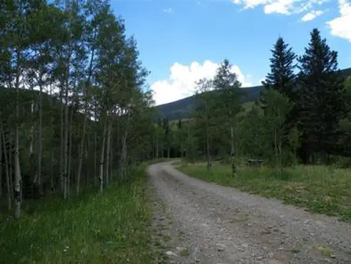 Purgatoire CampgroundCampground · 20 sites
Overview Purgatoire Campground is nestled near the headwaters of the Purgatoire River in the beautiful Culebra Range of the Sangre de Cristo Mountains.
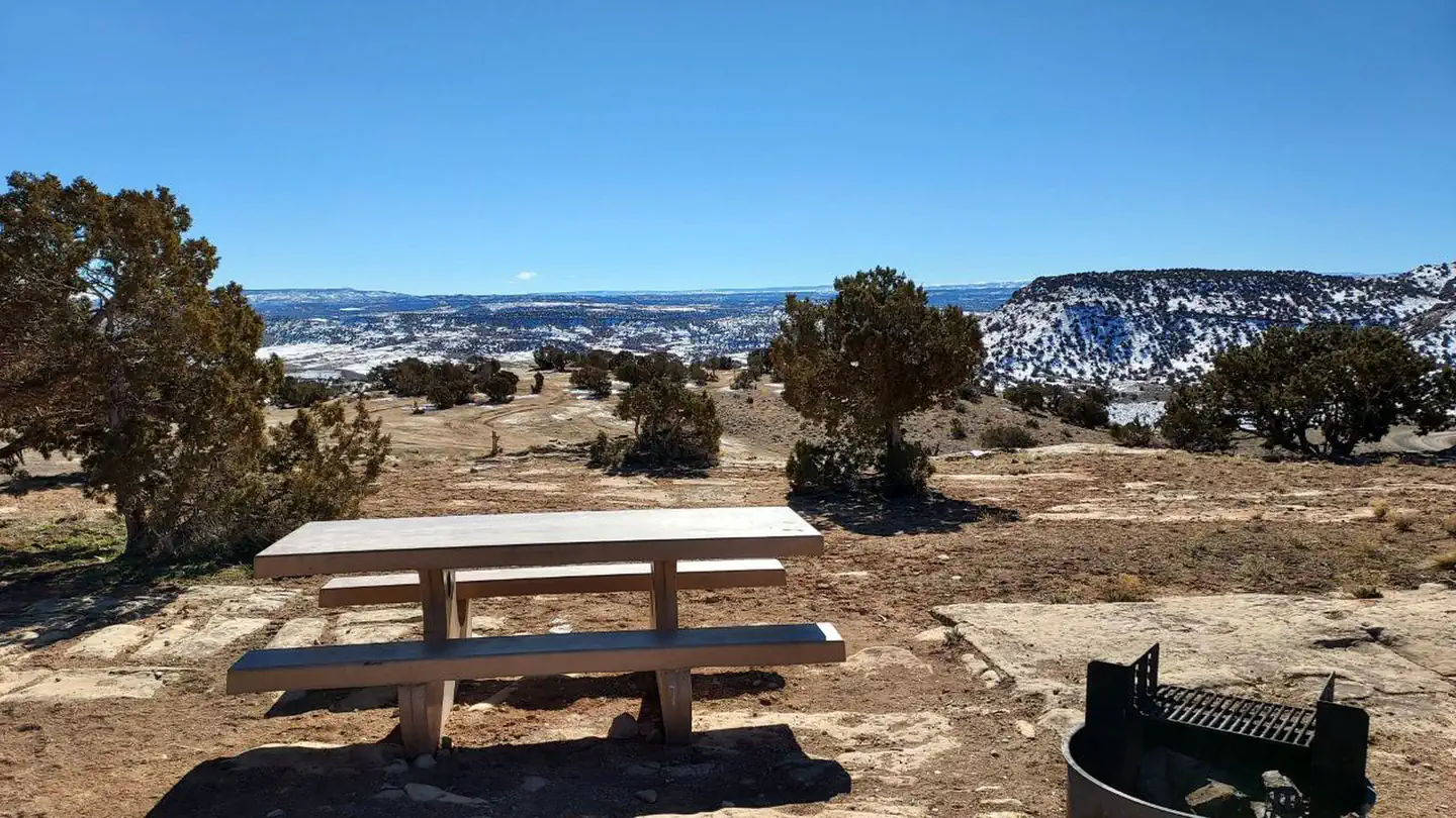 Rabbit ValleyCampground · 77 sites
Overview Five distinct campgrounds within Rabbit Valley were built for different user-types, from tent camping sites that retain a secluded feel to large group…
- Rabbit Valley Staging AreaFacility · not watchable
The Rabbit Valley staging area is located in the McInnis Canyons National Conservation Area, roughly 30 miles west of Grand Junction, Colorado, near the Utah…
- Rabbits Ear TrailheadFacility · not watchable
Rabbit's Ear Trail is located in Rabbit Valley within the McInnis Canyons National Conservation Area.
 Radium Recreation AreaCampground · 21 sites
Overview Managed By Kremmling Field Office The Radium Recreation Area is part of the Upper Colorado River Special Recreation Management Area (SRMA), providing…
- Rainbow Falls Motorized RoutesFacility · not watchable
The Rainbow Falls area offers many motorized roads and trails for four-wheel drive and off-highway vehicle (OHV) enthusiasts.
- Rainbow Lakes CampgroundCampground · not watchable
This campground is open mid-June through mid-September and located at 10000 feet at the end of the Rainbow Lakes Road and adjacent to the Indian Peaks…
- Rampart Range Recreation AreaFacility · not watchable
The Rampart Range Recreation Area provides a unique setting for off-highway vehicle (OHV) enthusiasts to enjoy a variety of riding experiences.
- Rampart Reservoir Recreation AreaFacility · not watchable
The area is located 4.2 miles east of Woodland Park on Rampart Range Road, FDR 300.
- Raspberry Creek #1968Facility · not watchable
After hiking up the Quarry Road for ½ mile, there is a small signon the right side of the road on top of a short, steep bank announcing the trailhead.
- Rawah Wilderness: Arapaho & RooseveltFacility · not watchable
Located on the southern end of the Medicine Bow Mountain Range in north central Colorado, Rawah Wilderness was designated by the Wilderness Act of 1964 and now…
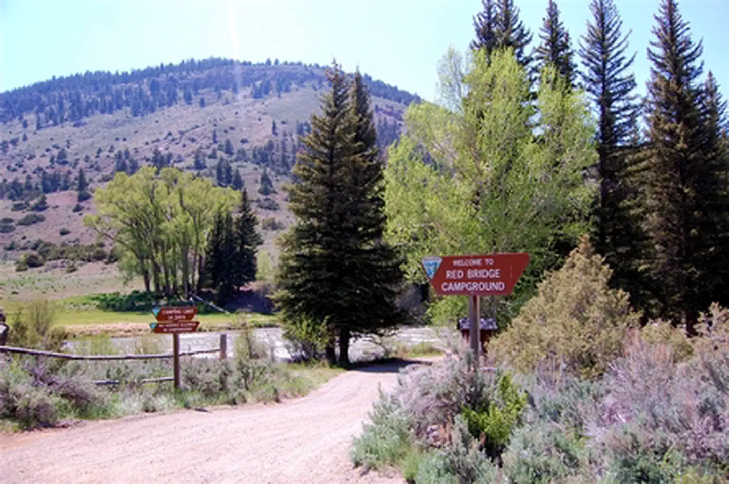 Red Bridge CampgroundCampground · not watchable
Red Bridge Campground is a short distance off of the Silver Thread National Scenic Byway.
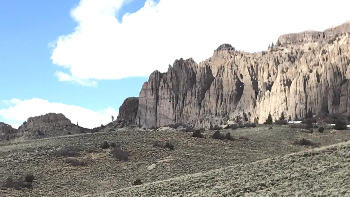 Red Creek Group SiteCampground · 1 sites
Overview In the heart of southwest Colorado is a group camp getaway for nature lovers and outdoor sports-enthusiasts.
- Red Lake Trailhead, Trail 733Facility · not watchable
The Red Lake trailhead is on FDR 114, approx. 2 1/4 miles from Highway 17. The parking area is large enough to accommodate horse trailers and other vehicles.
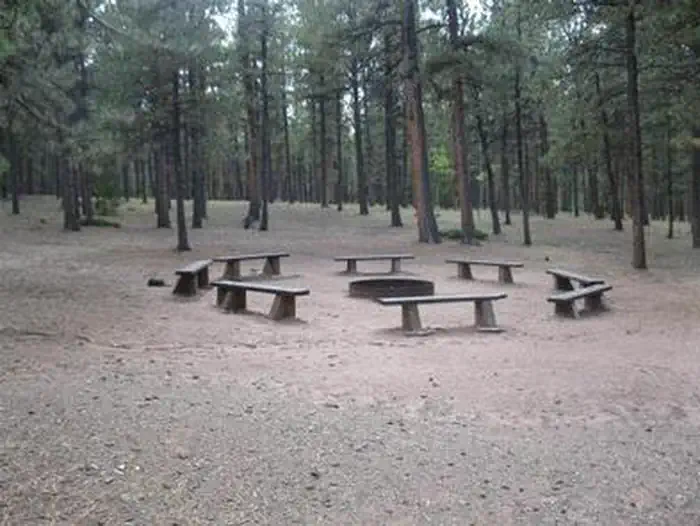 Red Rocks Group CampgroundCampground · 1 sites
Overview Red Rocks Group Campground is located 4 miles north of the town of Woodland Park, Colorado.
 Redfeather Ranger StationCampground · 2 sites
Overview The Redfeather Ranger Station has two cabins, and an office with a visitor's center.
- Redfeather Visitor CenterFacility · not watchable
The Redfeather Visitor Center is located at 274 Dowdy Lake Road, at the eastern edge of the town of Red Feather Lakes, and close to fishing opportunities at…
 RedstoneCampground · 31 sites
Overview Redstone Campground is set amidst a scattering of aspen groves on a ridge above the Crystal River at 7,800 feet, creating an ideal setting for guests…
- Reeder CreekFacility · not watchable
The segment of the river from Granby to Kremmling is very popular for fishing and a portion has been designated as Gold Medal Water by the Colorado Division of…
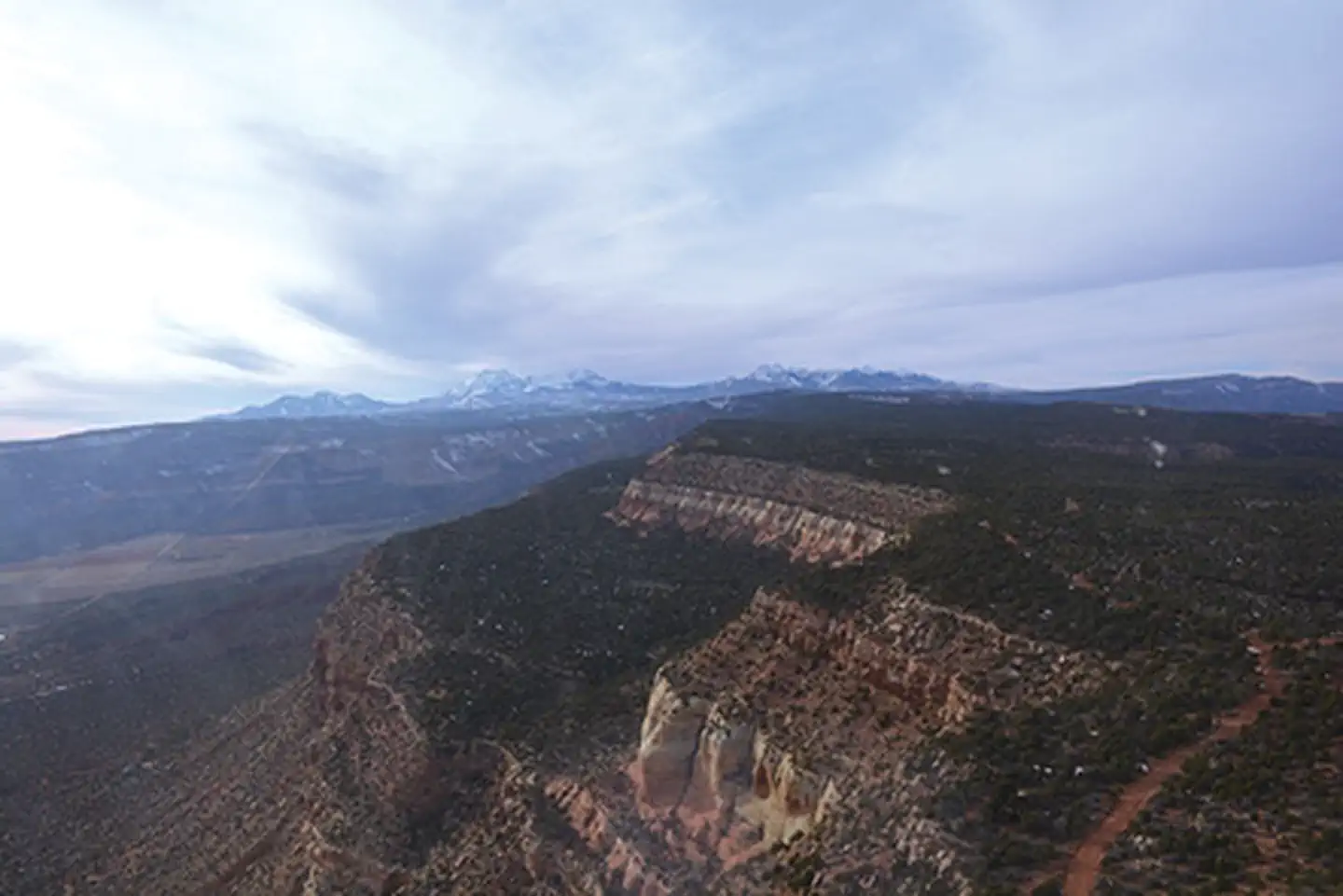 Rimrocker TrailheadFacility · not watchable
The Rimrocker Trail offers 160 miles of off‑pavement travel through diverse, scenic landscapes between Montrose, Colorado, and Moab, Utah.
- Rio Grande Reservoir Boating SiteFacility · not watchable
This is a primitive boat ramp and reservoir access road about 1/2 way along the Rio Grande Reservoir. There is a vault toilet here.
- Ripple Creek Overlook Interpretive SiteFacility · not watchable
Ripple Creek Overlook Interpretive Site provides a nice rest stop along the Flat Tops Trail Scenic Byway. The site provides picnic facilities and restrooms.
- Ripple Creek PassFacility · not watchable
Ripple Creek Pass is on the Flat Tops Trail Scenic Byway between Meeker and Yampa.
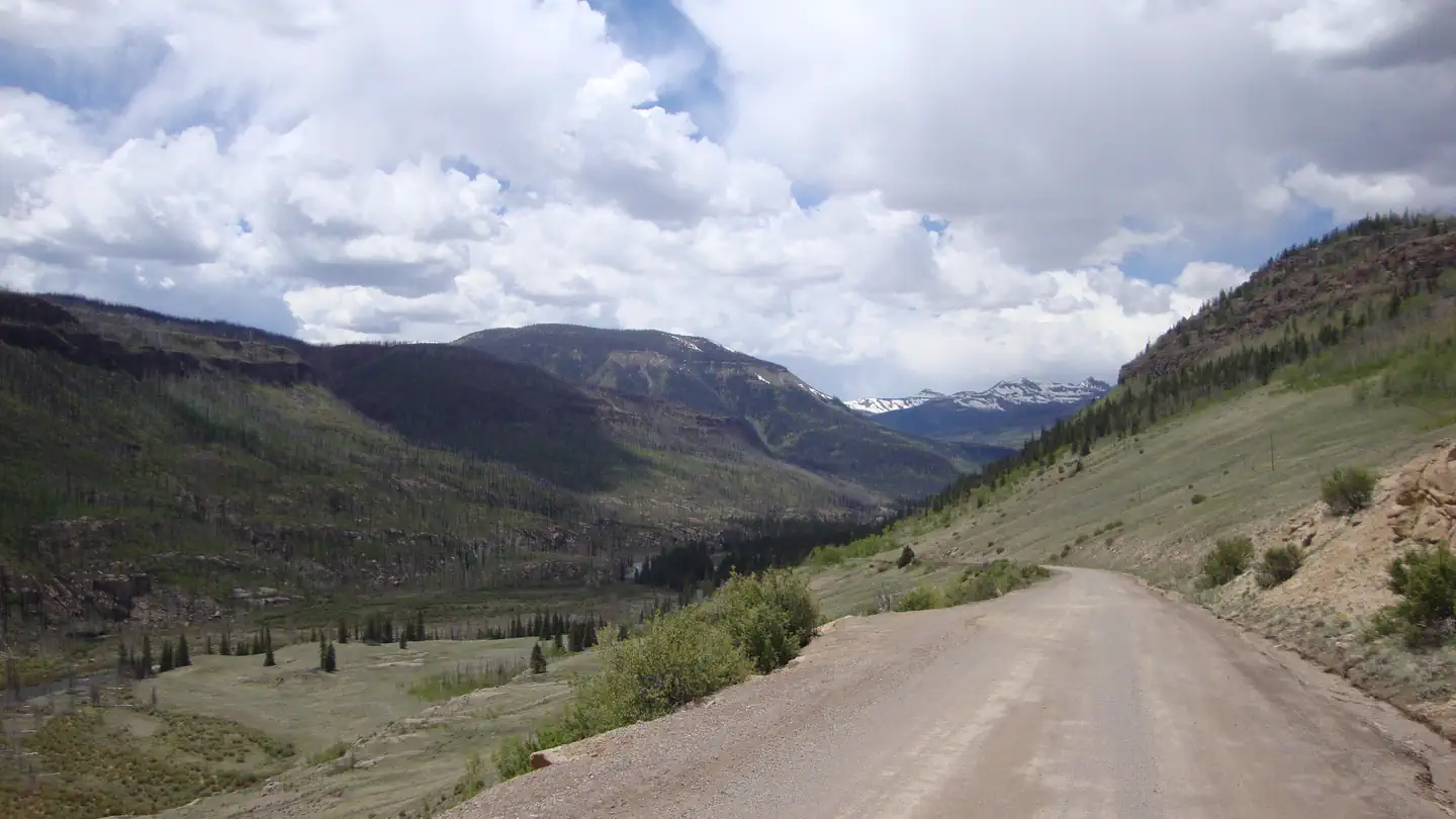 River HillCampground · 18 sites
Overview River Hill is a popular campground on the banks of the Rio Grande River. Situated in a meadow surrounded by willows, campers come here to fish for…
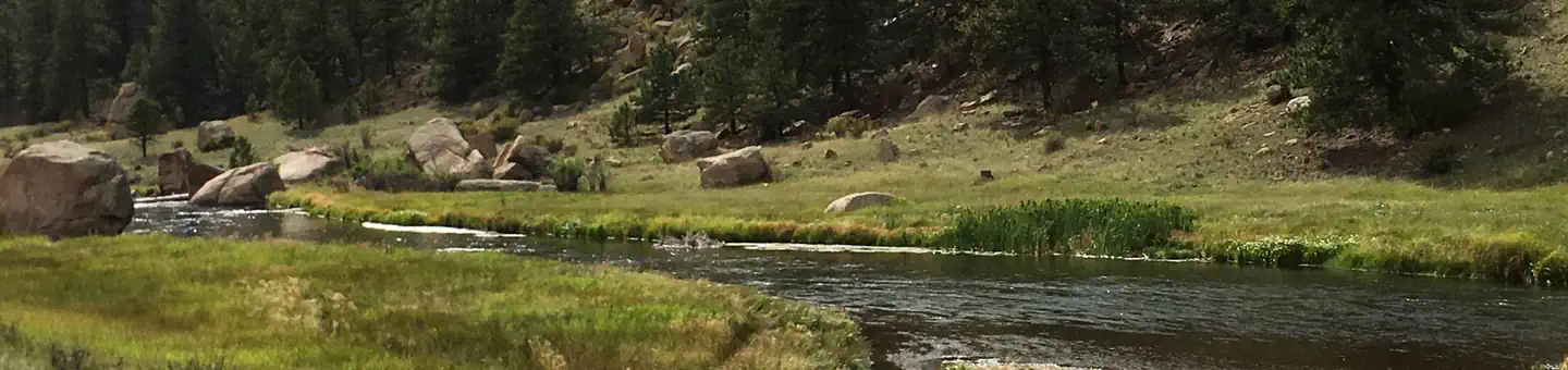 Riverside (Co)Campground · 18 sites
Overview Riverside Campground lies across the road form South Platte River, providing a scenic base camp for fishing, hiking and rock climbing.
- Road Canyon Boat RampFacility · not watchable
This boating site consists of a small concrete ramp, restroom, parking for trucks and trailers about 1/2 way up the length of the reservoir.
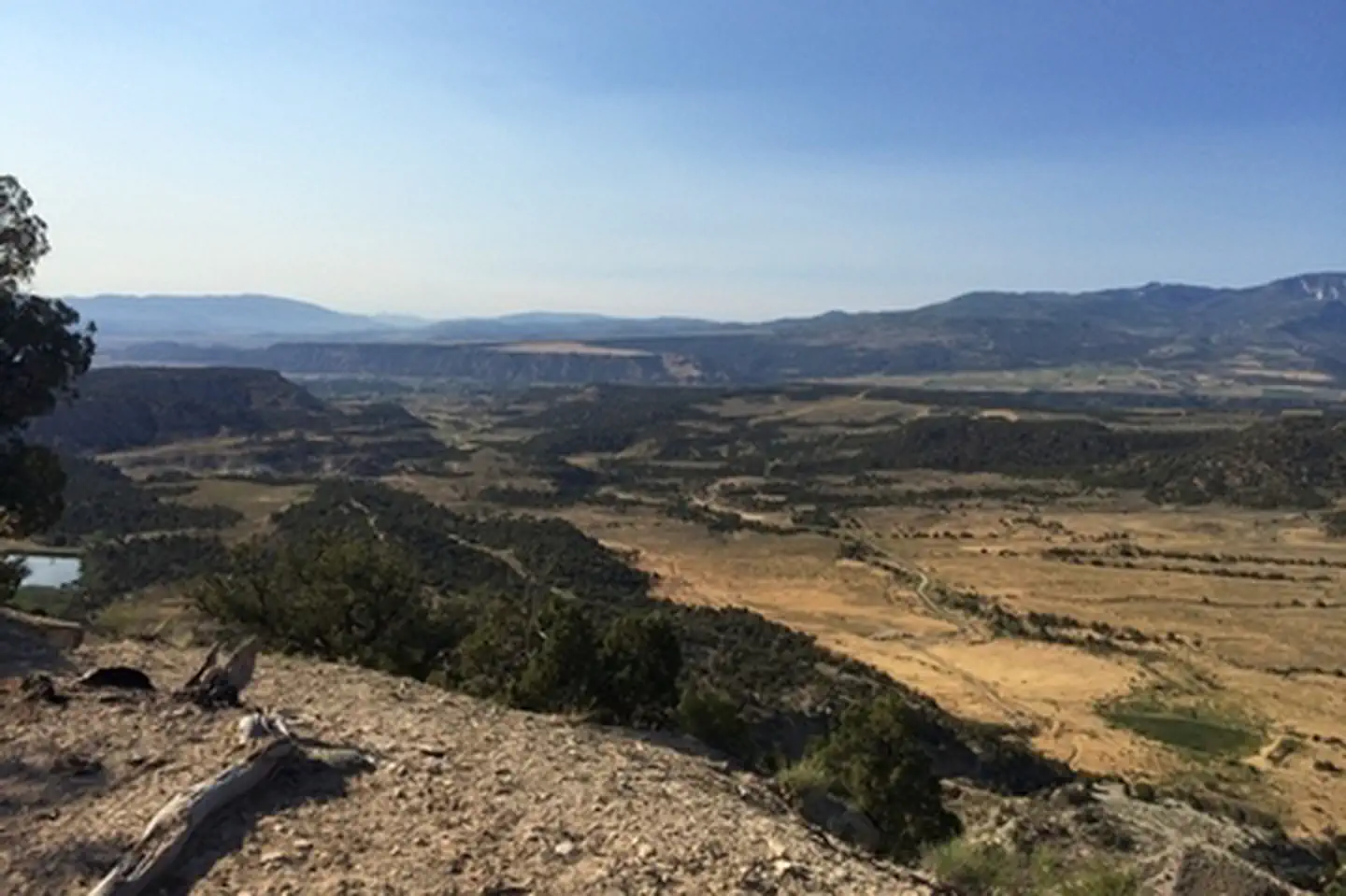 Roan Plateau - Hubbard MesaFacility · not watchable
Hubbard Mesa is a BLM designated area for Off-Highway-Vehicle use. Hubbard Mesa was designated as an Open Area in 2007 in the Roan Plateau Management Plan.
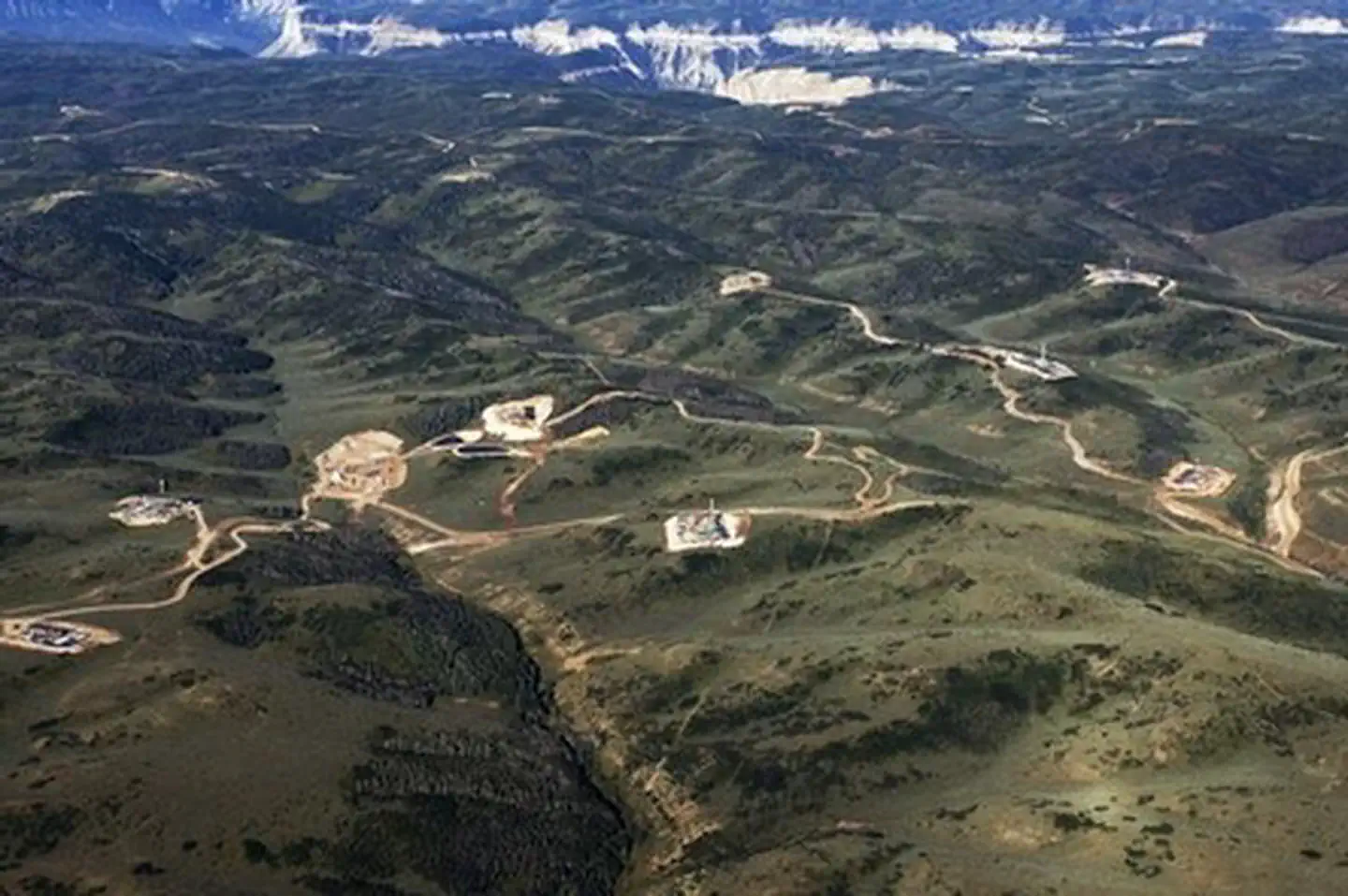 Roan Plateau - JQS Creek CrossFacility · not watchable
The Roan Plateau overlooks the Colorado River Valley, and provides exceptional opportunities for recreation including hiking, hunting, motorized recreation,…
- Robbers Roost CampgroundCampground · not watchable
The Robbers Roost Campground is located next to Hwy 40 and the Fraser River near Winter Park.
 Roberts CabinCampground · 1 sites
Overview Roberts Cabin is one of the recognized historic cabins in Pike & San Isabel National Forests.
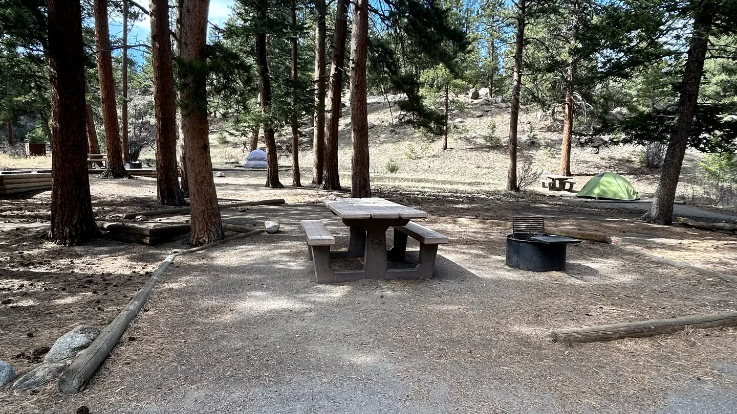 Rocky Mountain National Park Aspenglen CampgroundCampground · 49 sites
Overview Aspenglen is located on the east side of Rocky Mountain National Park near Fall River Entrance.
 Rocky Mountain National Park Glacier Basin CampgroundCampground · 149 sites
Overview All campsites at Glacier Basin Campground are available by reservation only through Recreation.gov.
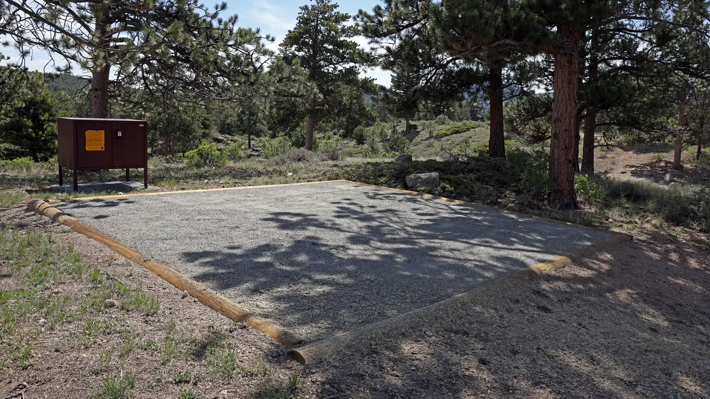 Rocky Mountain National Park Moraine Park CampgroundCampground · 236 sites
Overview Moraine Park Campground is located on the east side of Rocky Mountain National Park, overlooking Moraine Park.
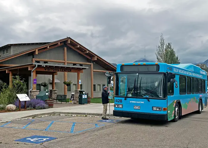 Rocky Mountain National Park Shuttle TicketsTimed entry
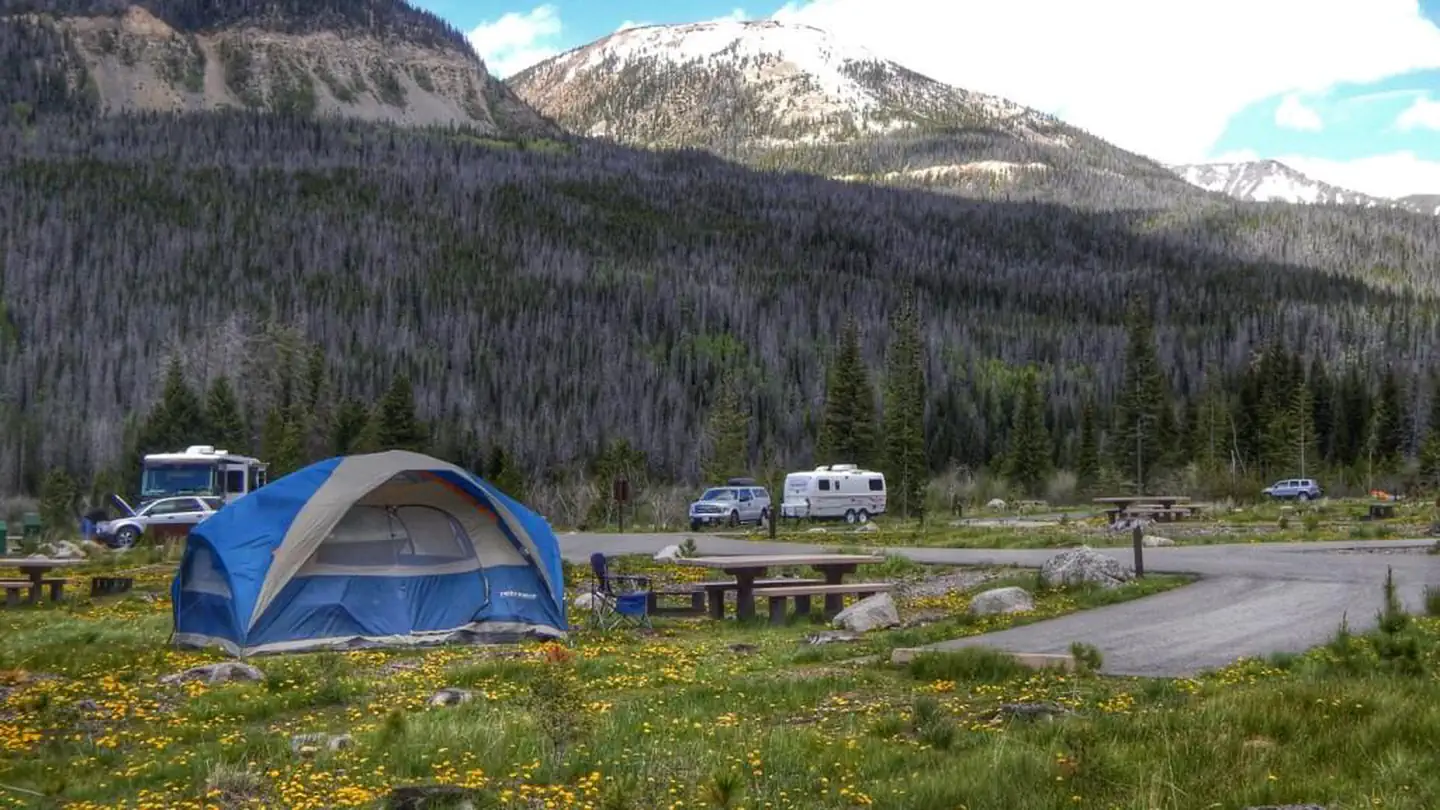 Rocky Mountain National Park Timber Creek CampgroundCampground · 80 sites
Overview Timber Creek Campground is the only campground located on the west side of Rocky Mountain National Park.
 Rocky Mountain National Park Timed Entry-2020Tickets
Rocky Mountain National Park will be implementing a new pilot temporary timed entry permit reservation system beginning on May 28, 2021.
- Rosy LaneCampground · 15 sites
Overview Rosy Lane Campground is located 17 miles from Gunnison, Colo., in the Taylor River Canyon.
 Round MountainCampground · 15 sites
Overview Round Mountain is a small, rustic campground that sits just 6 miles from Lake George and Eleven Mile Canyon, 11 miles from the Florissant Fossil Beds…
 Ruedi Boat Storage Parking Lot LotteryTickets
Ruedi Boat Storage Lot provides seasonal parking for boats and trailers during summer boating on Ruedi Reservoir.
- Ruedi Marina Boat RampFacility · not watchable
Ruedi Marina Boat Ramp is a put-in for boats into Ruedi Reservoir. The Forest Service is concerned by the serious threat posed to our aquatic habitats by two…
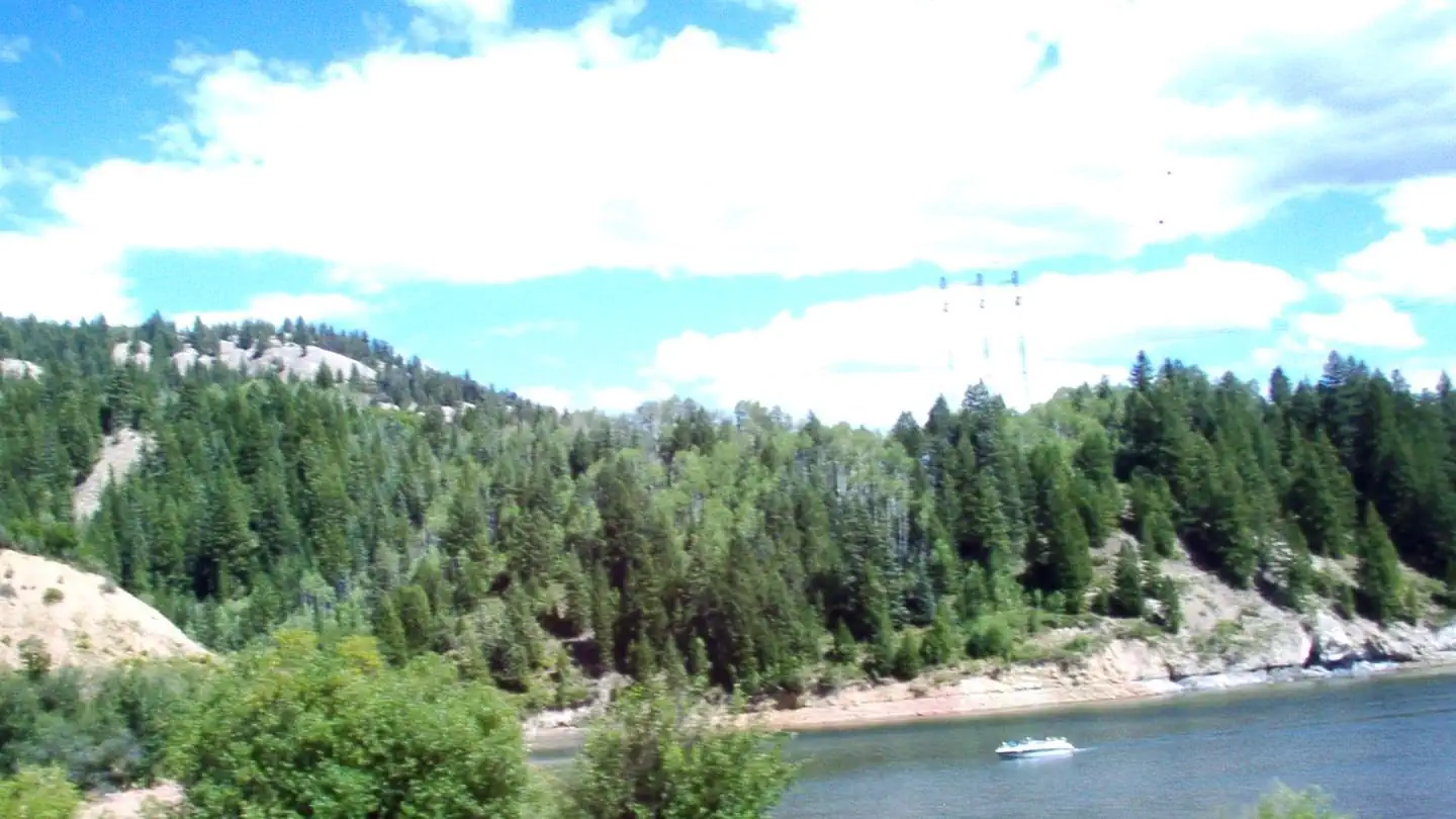 Ruedi Marina CampgroundCampground · 7 sites
Overview Located approximately 14 miles east of Basalt, Colorado, in the White River National Forest, Ruedi Marina Campground is situated on Ruedi Reservoir at…
- SE Flat Tops AreaFacility · not watchable
The SE Flat Tops Area is north of Dotsero and I-70, and is primarily accessed by Forest Service Roads heading northwest off of the Colorado River Road between…
 ST Charles Campground - Lake IsabelCampground · 14 sites
Overview Nestled among aspen and tall Douglas fir trees, St. Charles Campground is in a quiet part of the Lake Isabel Recreation Area.
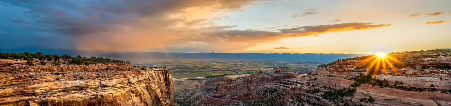 Saddlehorn CampgroundCampground · 79 sites
Overview Saddlehorn Campground is located within Colorado National Monument which preserves one of the grand landscapes of the American West.
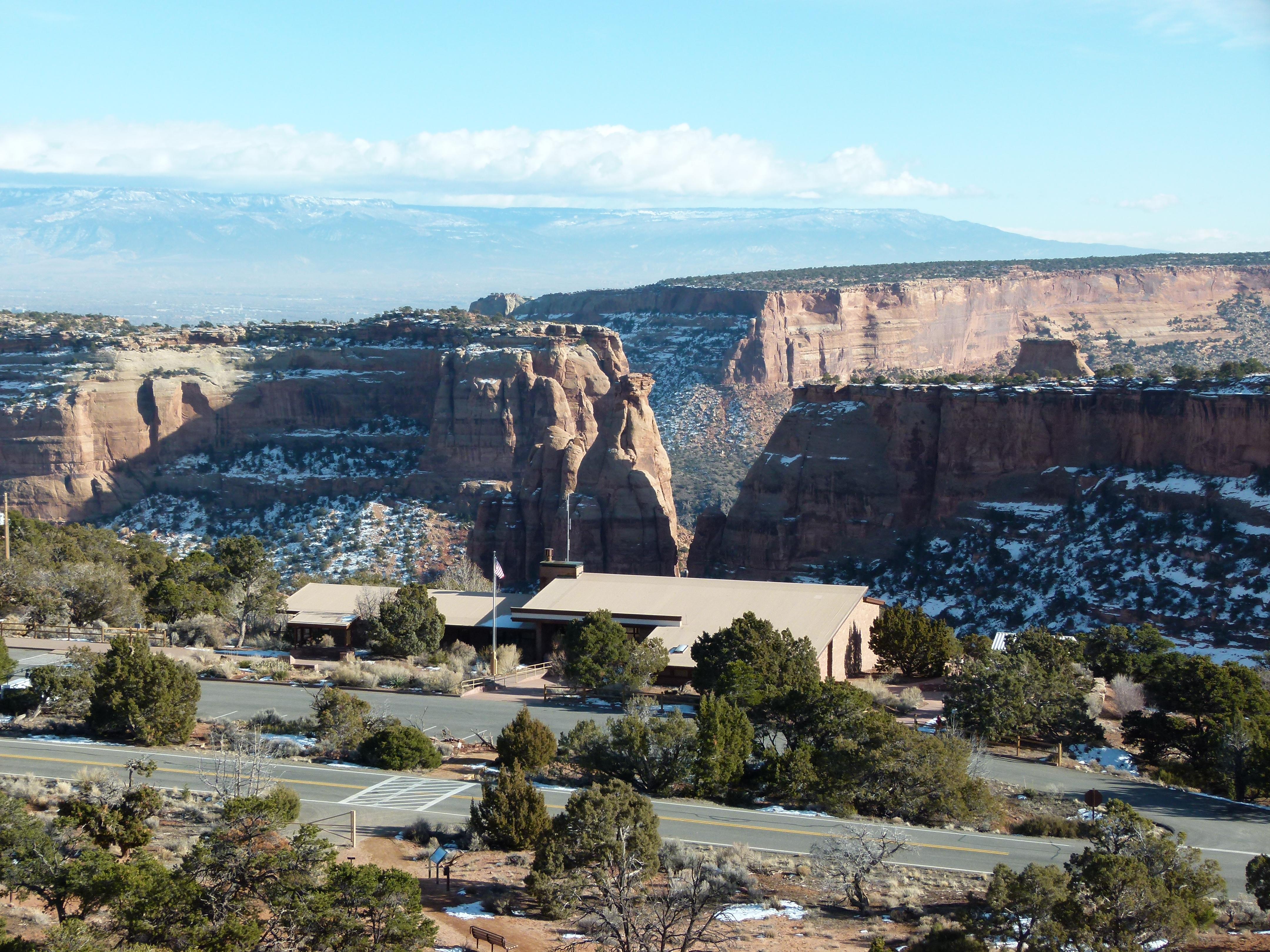 Saddlehorn Visitor CenterFacility · not watchable
For first hand information, maps, and brochures, the visitor center is a good place to start your adventure.
- Sage CampgroundCampground · not watchable
The North Sand Hills Campground was installed in 2011 to accommodate large RVs. The campground has two vault toilets and 13 individual pull-through sites, each…
- Salt Creek #1878Facility · not watchable
The Salt Creek trail begins at County Road 8A and ends at Forest Road #435. The trail begins on an old road which goes through private land so be sure to stay…
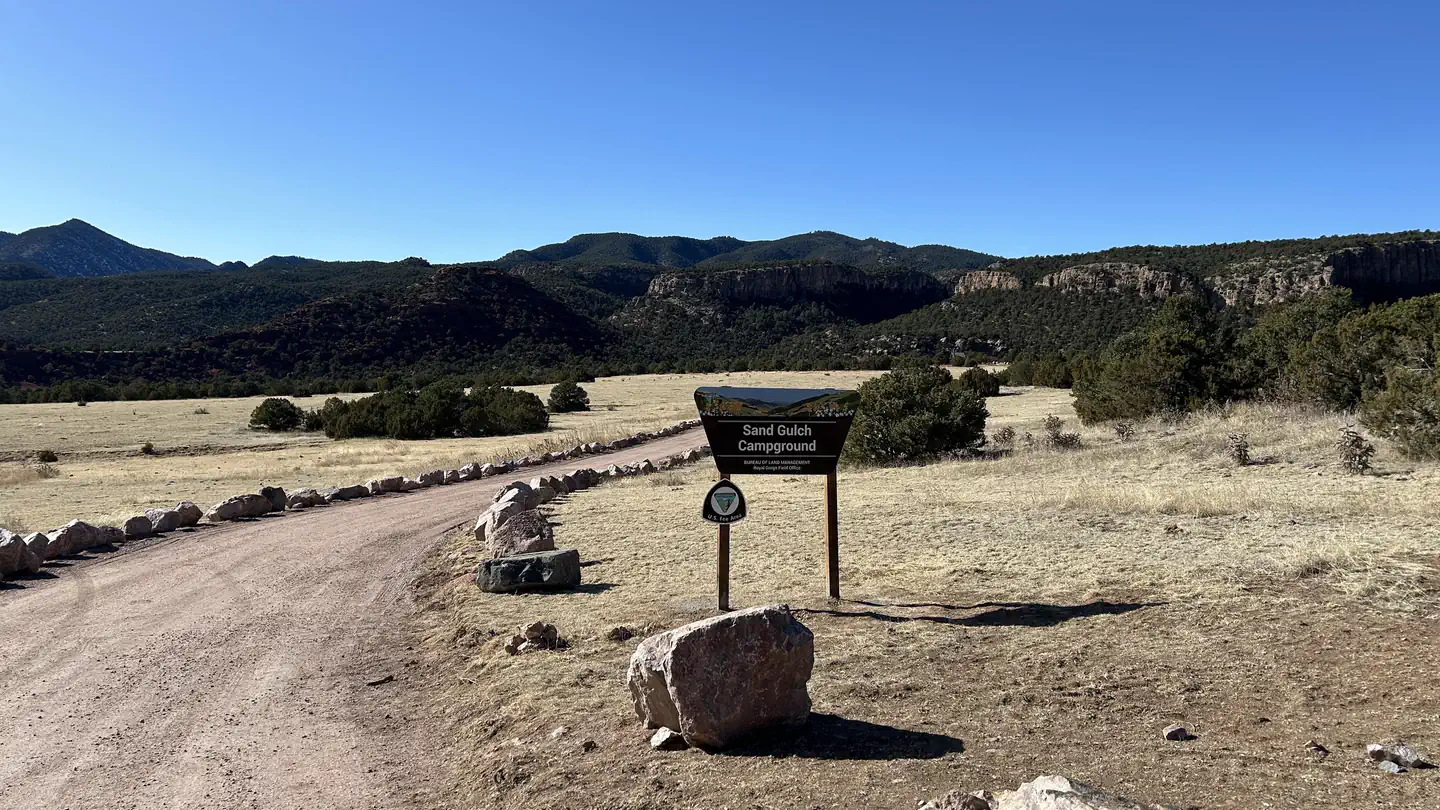 Sand Gulch CampgroundCampground · 31 sites
Overview With easy walking access to sport rock climbing routes in the popular Shelf Road Recreation Area, Sand Gulch Campground is a 31-site camping facility,…
- Saxon MountainFacility · not watchable
Saxon Mountain road north of Georgetown is a steep shelf road with many switchbacks. Good view of Georgetown and surrounding mining history.
- Scraggy View Picnic AreaFacility · not watchable
Located on the South Platte River at an elevation of 6,296', Scraggy View Picnic Area is approximately 1 1/2 hours drive southwest of Denver on Jefferson…
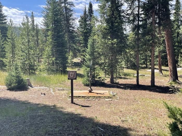 Seedhouse CampgroundCampground · 23 sites
Overview Seedhouse Campground is a gateway to the Mount Zirkel Wilderness along the Elk River with plenty of opportunities for hiking, biking, horseback…
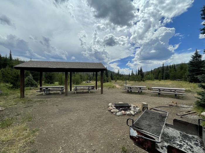 Seedhouse Group Site - Medicine-Bow Routt NF (CO)Campground · 1 sites
Overview Seedhouse Group Site provides a private setting for group gatherings of up to 100 guests.
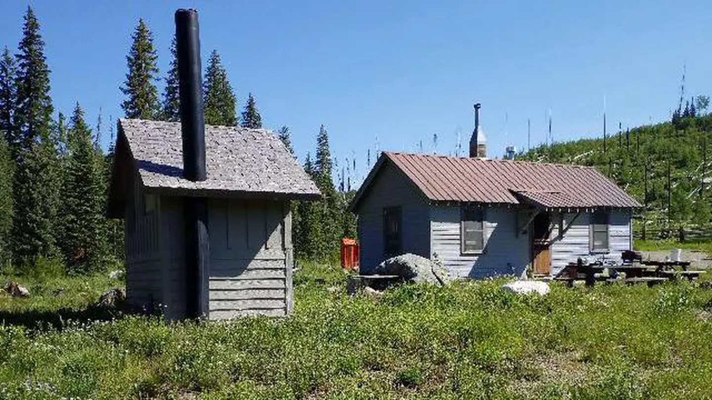 Seedhouse Guard StationCampground · 1 sites
Overview Seedhouse Guard Station is located approximately 26 miles north of Steamboat Springs, Colorado.
- Sevenmile Road (#225)Facility · not watchable
From US-287 and the Poudre Canyon Road, head west 31 miles. Turn north on County Road 69 at Rustic, follow for 1/2 mile and the trail head is on the left.
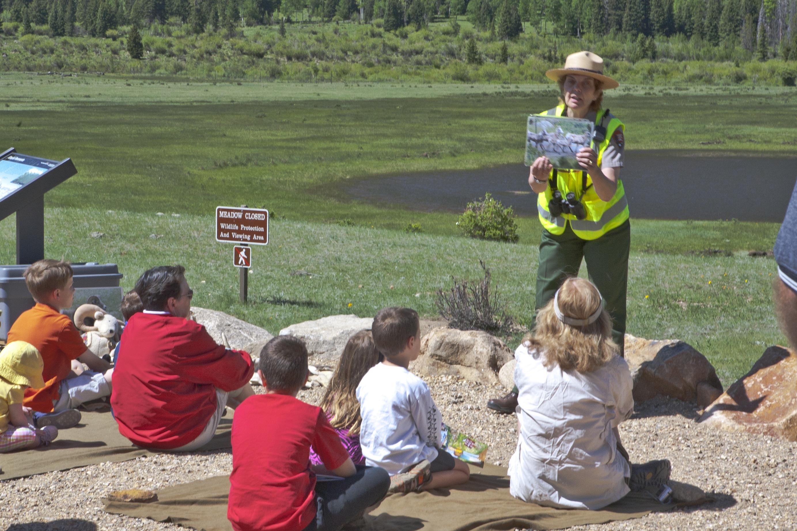 Sheep Lakes Information StationFacility · not watchable
Sheep Lakes, located in Horseshoe Park, is a great place to view wildlife. This parking area and viewpoint are open year-round daily 24 hours a day.
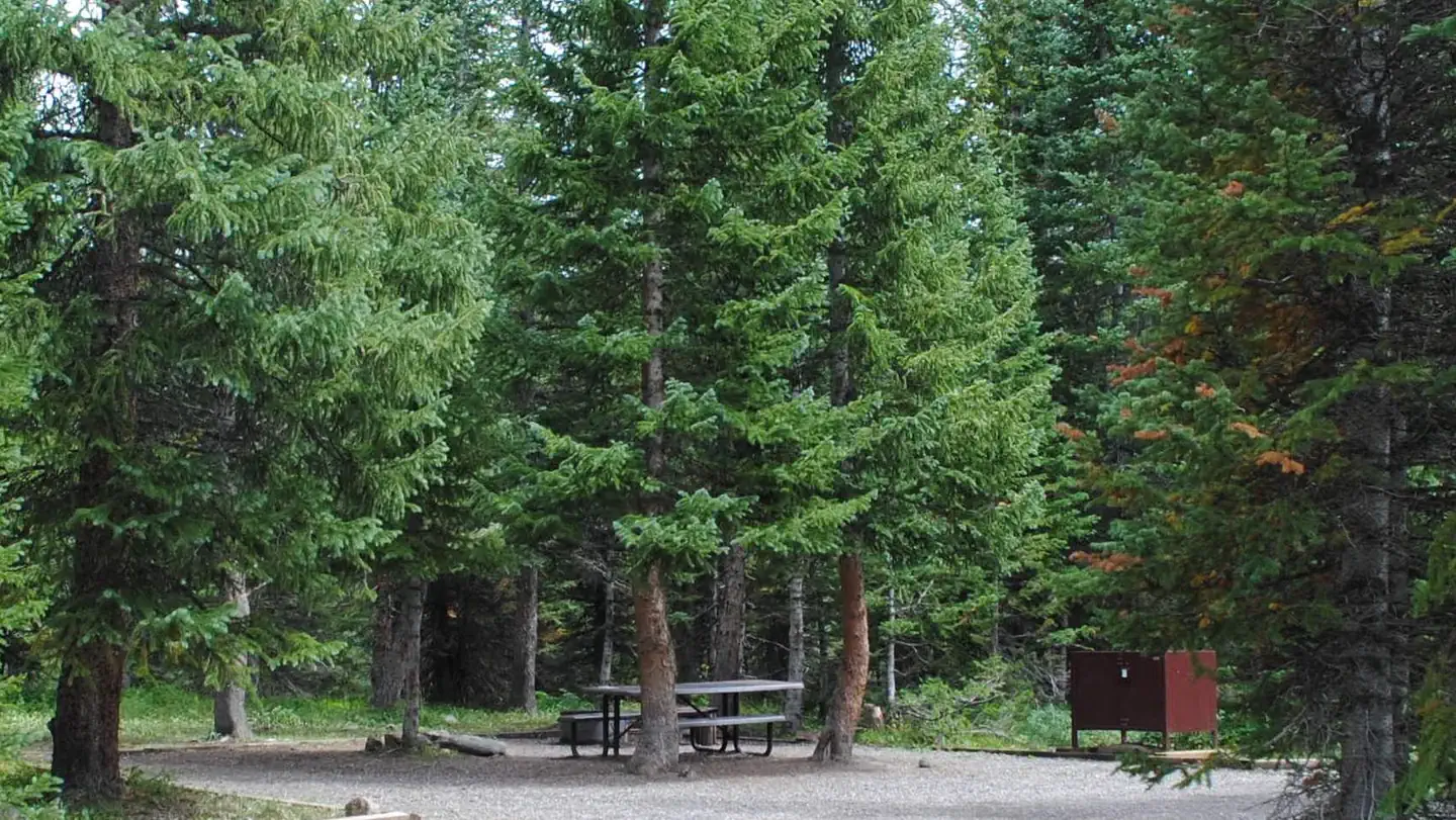 Shepherds Rim CampgroundCampground · 15 sites
Overview Surrounded by mountains and nestled near the wilderness, the Shepherds Rim Campground at Trappers Lake has 15 scenic campsites.
- Shrine Pass Road #709Facility · not watchable
This dirt road starts at Vail Pass and ends at the town of Redcliff. It can be traveled in either direction, but for biking it is much easier starting at Vail…
- Shrine Ridge #2016Facility · not watchable
The Shrine Ridge trail begins at Shrine Pass Road #709 and ends at Shrine Mountain Ridge. Follow the trail southwest as it climbs through pine-studded meadows.
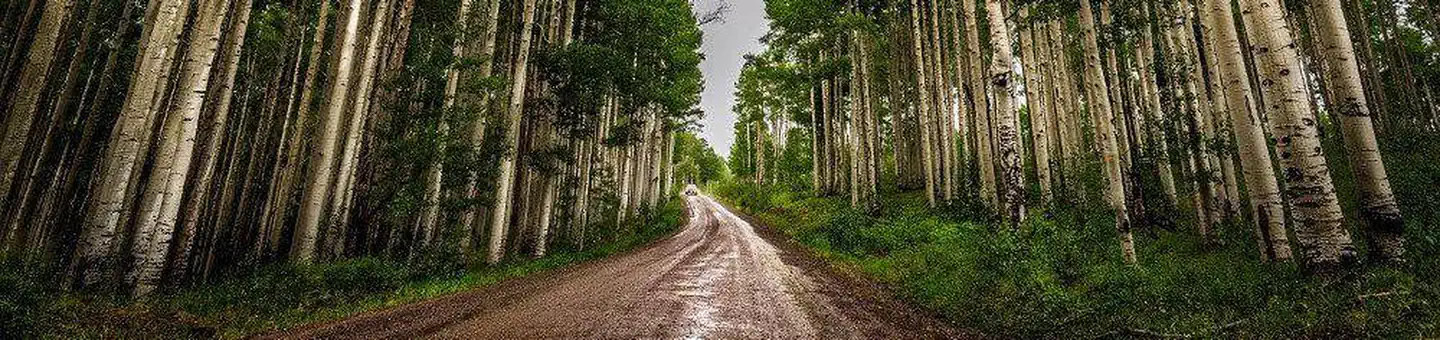 Silesca CabinCampground · 1 sites
Overview The historic Silesca Cabin, once used as a Ranger Station, is a semi-rustic dwelling with comfortable modern conveniences like electricity and…
- Silver Bar CampgroundCampground · 4 sites
Overview Silver Bar Campground is located approximately five miles southwest of Aspen, Colorado, on the banks of Maroon Creek.
- Silver Bell CampgroundCampground · 14 sites
Overview Located just outside Aspen, Colorado, Silver Bell Campground is hemmed in by aspen groves and subalpine forests on the banks of Maroon Creek.
- Silver Creek #1959Facility · not watchable
ALERT: Due to recent bear activity, bear canisters are required for all backpackers in the Maroon Bells-Snowmass Wilderness.
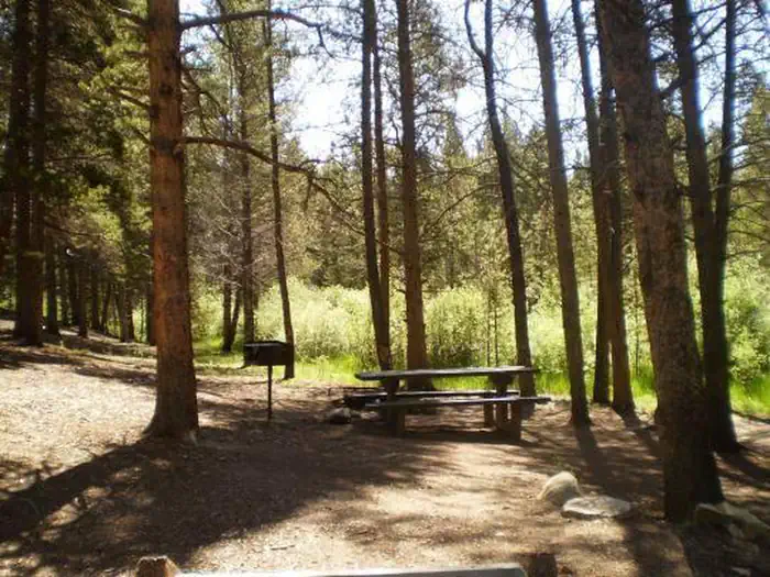 Silver DollarCampground · 38 sites
Overview Silver Dollar Campground is situated near the eastern shore of Turquoise Lake in the shade of a lodgepole pine and subalpine fir forest.
- Silver Jack Campground (CO)Campground · 45 sites
Overview Silver Jack Campground has 60 campsites around three loops - Chipeta, Ouray and Sapinero.
 Silver Queen CampgroundCampground · 5 sites
Overview Located just outside Aspen, Colorado, Silver Queen Campground is hemmed in by aspen groves, a short walk from Maroon Creek, with views of 14,018 foot…
- Simms Mesa #115Facility · not watchable
The Simms Mesa Trail #115 begins at Forest Service Road #510, Dave Wood Road, and ends at Forest Service Road #574, Simms Mesa Road.
- Sleeping Elephant CampgroundCampground · not watchable
This campground is located adjacent to Highway 14 in an open ponderosa pine setting near its namesake, Sleeping Elephant Mountain.
- Sneve Gulch #1872Facility · not watchable
The Sneve Gulch trail begins at Sylvan Lake and ends at Forest Road #436. The trail begins in aspen and climbs up steeply to an overlook of Sylvan Lake.
- South Canyon River AccessFacility · not watchable
The South Canyon Recreation Site is a river access and boat launch area for the Colorado River below Glenwood Springs, CO. No camping is allowed at this site.
- South Colony BasinFacility · not watchable
South Colony Basin and the surrounding 14,000-foot peaks offer a broad range of recreational opportunities, including camping, hiking, backpacking,…
 South Fork Group Site - Arapaho NF (CO)Campground · 1 sites
Overview South Fork Group Campground is located in north central Colorado in the Williams Fork Valley next to South Fork Creek.
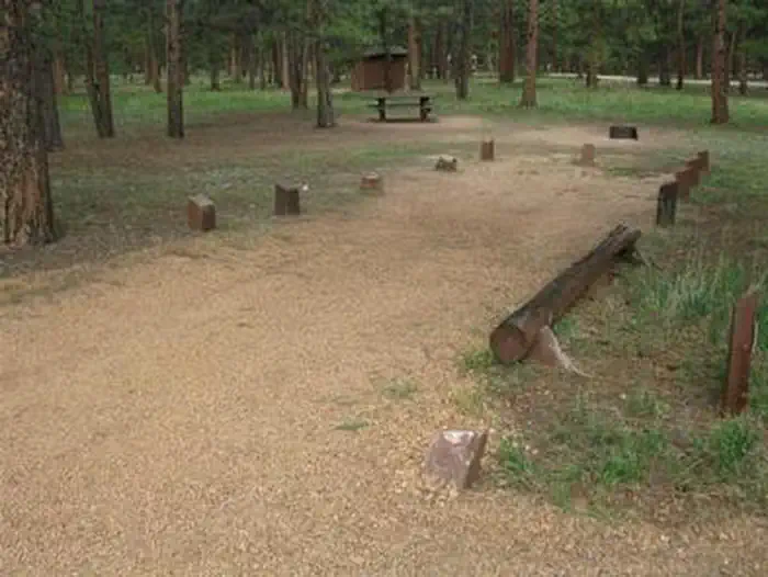 South Meadows - Pike San Isabel NF (CO)Campground · 63 sites
Overview South Meadows Campground, located 5 miles north of Woodland Park, provides a scenic spot for campers to rest and enjoy the many recreational offerings…
- South Mineral CampgroundFacility · not watchable
South Mineral Campground, located along South Mineral Creek, is one of the most popular campgrounds in the San Juan National Forest.
- South Park Ranger DistrictFacility · not watchable
South Park Ranger District inludes South Park, part of the Mosquito Range, Eleven Mile Canyon and Jefferson Lake Recreation Areas, and the Tarryall Mountains…
- South Pearl Road (#178)Facility · not watchable
There are several forest roads in the area. The South Pearl Road leads to the spur road #178A, and to the east of #169 there are roads #178.1, #178B, and…
- South Platte River CorridorFacility · not watchable
The South Platte River Corridor near Deckers, CO has been a popular fishing location for decades.
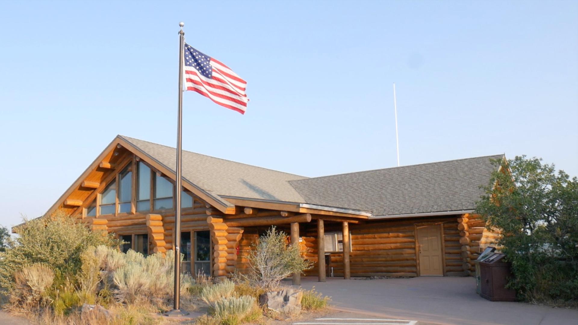 South Rim Visitor CenterVisitor Center · not watchable
This visitor center has exhibits, information, book and map sales, water (available seasonally), vault toilets, and hiking trailheads.
- South Saint Vrain Picnic AreaFacility · not watchable
This picnic area is located 7.75 miles west of Lyons along the south side of Colorado Highway 7, adjacent to the south fork of Saint Vrain Creek.
 Southside Campground - Lake IsabelCampground · 8 sites
Overview Southside Campground is a small RV facility situated in the Wet Mountains by Lake Isabel.
- Specie Creek Boat LaunchFacility · not watchable
Specie Creek is primarily a Boat launch and day-use area with parking spaces. This site marks the beginning of the Specie Creek to Beaver Creek run and the end…
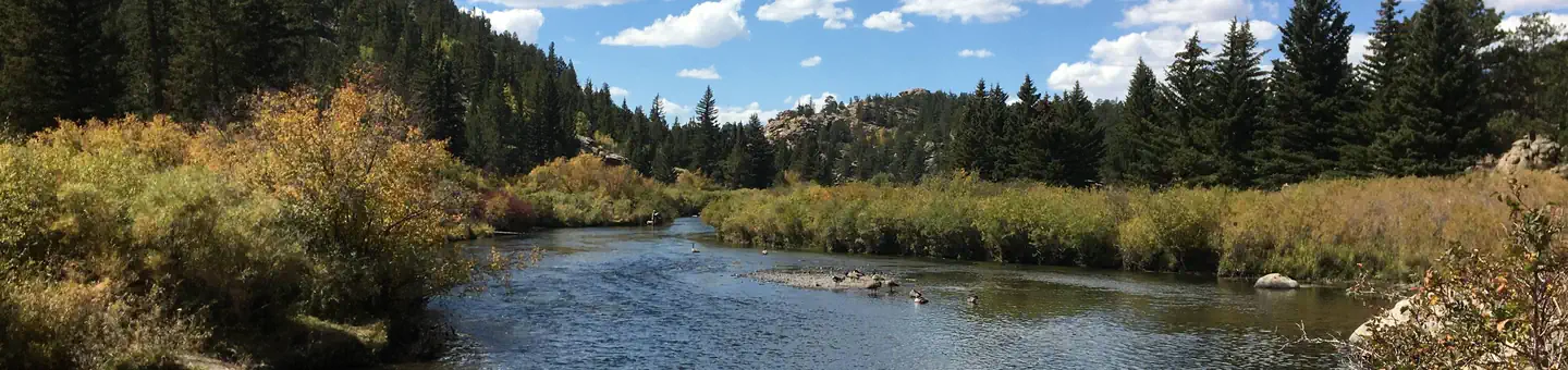 Spillway CampgroundCampground · 22 sites
Overview Spillway Campground is perched along the South Platte River near the base of the dam of Eleven Mile Reservoir.
- Spring Creek Reservoir Picnic SiteFacility · not watchable
This site serves as a rest area, picnic ground, and fishing lake. It sits right along the Silverthread Scenic Byway between Creede, Colorado and Lake City,…
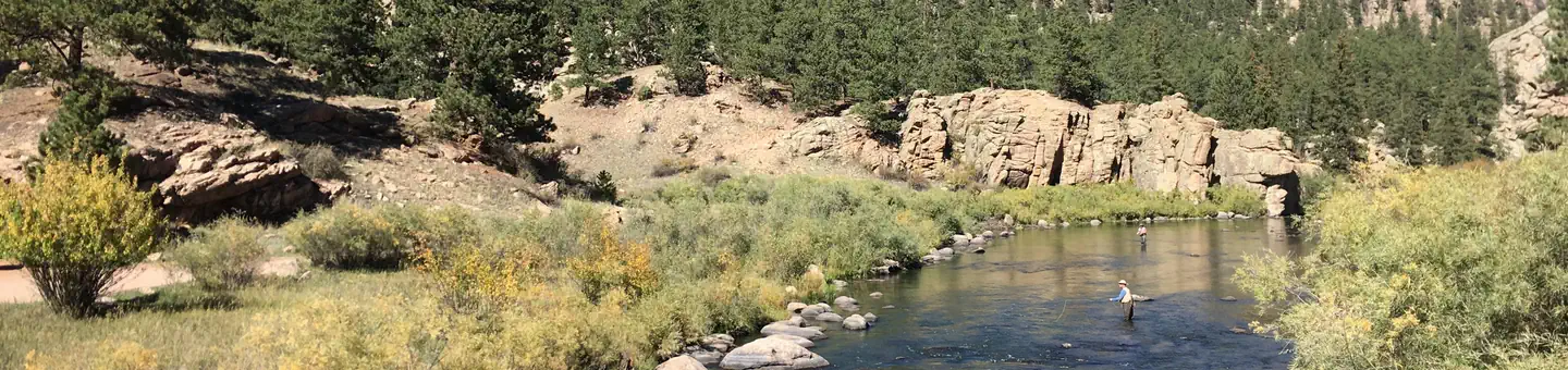 Springer GulchCampground · 14 sites
Overview Springer Gulch Campground is located in the Eleven Mile Canyon, a short walk from the South Platte River, offering sweeping mountain views at an…
- Spruce Creek (Mohawk Lakes) #58Facility · not watchable
This trail offers a variety of scenery as it climbs through lodgepole, spruce and fir forests and eventually to Lower Mohawk Lake which is nestled against the…
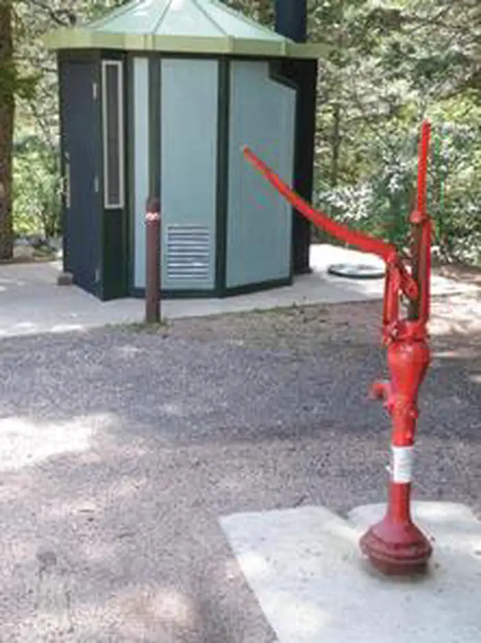 Spruce Group - Lake IsabelCampground · 1 sites
Overview Spruce Group Campground, located in the Lake Isabel Recreation Area, is a great place to bring groups for picnicking and camping on the scenic Lake…
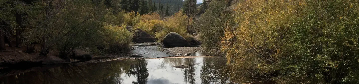 Spruce Grove CampgroundCampground · 26 sites
Overview The beautiful Spruce Grove campground is positioned beside large rock outcroppings on Tarryall Creek.
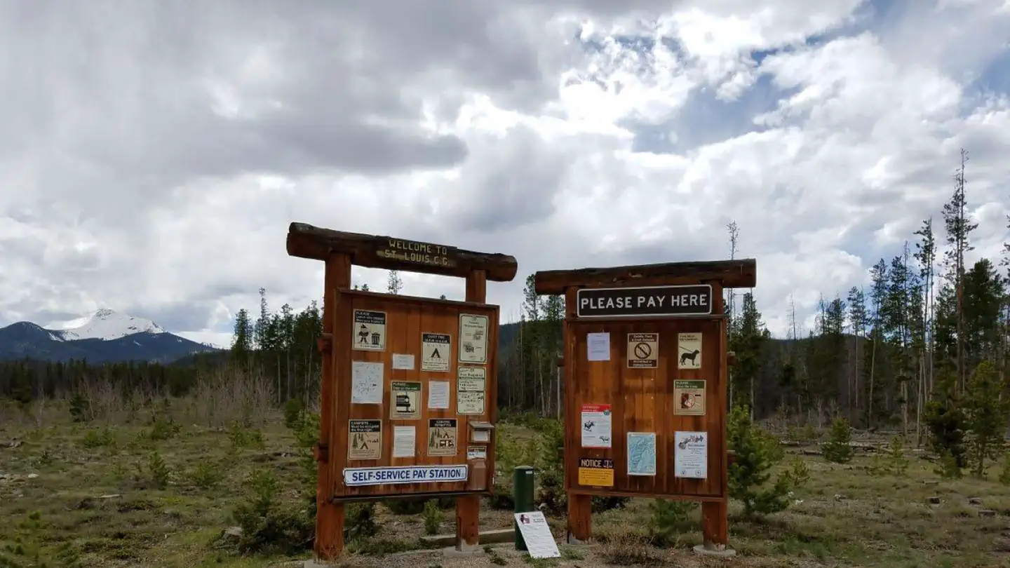 St. Louis CreekCampground · 17 sites
Overview St. Louis Creek Campground is located at 8,900' near the Fraser Experimental Forest, four miles southwest of the Town of Fraser, CO.
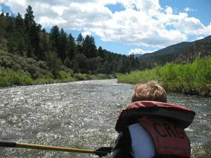 State Bridge Recreation SiteFacility · not watchable
State Bridge is a river access and parking site along the Upper Colorado River. The river segment between Pumphouse and State Bridge has heavy public use.
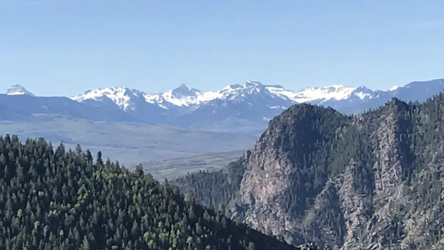 Stevens Creek CampgroundCampground · 54 sites
Overview Stevens Creek Campground lies on the north shore at the eastern end of Blue Mesa Reservoir.
- Stiffel Creek TrailheadFacility · not watchable
Trailhead to the 12,000 acre King Mountain Recreation Area. The area offers excellent opportunities for wildlife viewing and has beautiful scenery.
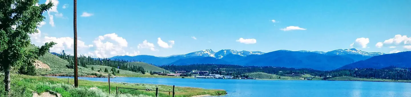 Stillwater (Colorado)Campground · 105 sites
Overview Stillwater Campground is located on Lake Granby, six miles southeast of Grand Lake, in north central Colorado.
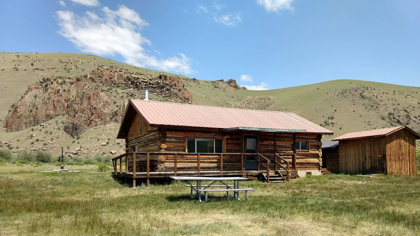 Stone Cellar Guard StationCampground · 1 sites
Overview Stone Cellar Guard Station is a remote cabin located at an elevation of 9,500 feet, just outside the boundary of La Garita Wilderness in Saguache Park…
- Storm King Picnic SiteFacility · not watchable
Fishing in area streams, mountain biking on forest roads. 4 WD Forest Roads 685 and 684 are nearby.
- Storm Mountain Road (#153)Facility · not watchable
The first part of Storm Mountain Road has some tight curves - just take it slow! Unload trailers at the junction of #128 and #153 (Galuchie Meadow).
 Stove PrairieCampground · 9 sites
Overview Stove Prairie Campground is located on the Cache la Poudre River, 26 miles northwest of Fort Collins, in north central Colorado.
- Straight Creek #48Facility · not watchable
The trail parallels I-70 the entire way up to Eisenhower Tunnel and is an old double-track road.
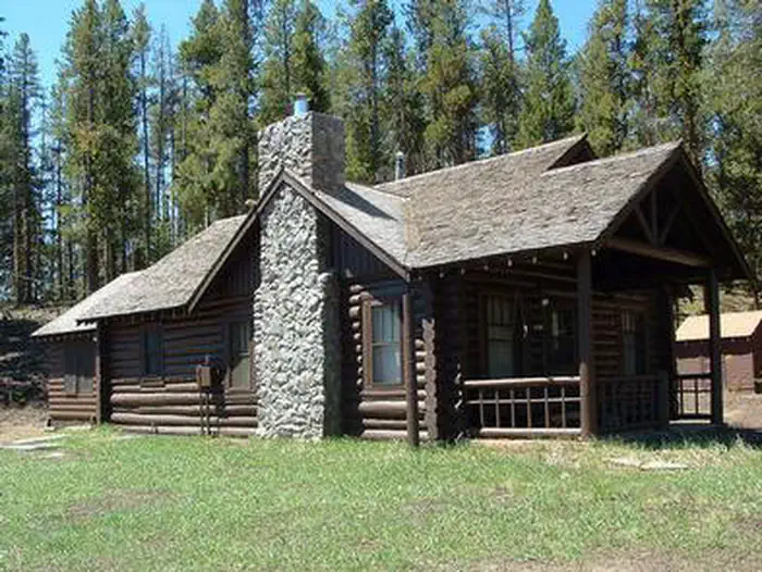 Stub Creek CabinCampground · 1 sites
Overview Stub Creek Cabin is located on the north end of the Laramie River Valley in north-central Colorado.
- Sulphur Ranger District, near Winter Park & GranbyFacility · not watchable
Recreational opportunities abound in this haven located high up in the Rocky Mountains.
- Summit County Rec PathFacility · not watchable
The Summit County Recreational Pathway System (Recpath) is a 55-mile long network of paved, non-motorized pathways that connect towns and resorts throughout…
- Sundell #1863Facility · not watchable
The Sundell Trail traverses through a variety of forest types on the lower portions of Red Table Mountain south and west of Gypsum Creek.
- Sunlight Ski Area AlpineFacility · not watchable
Sunlight Mountain Resort is a unique winter playground that is affordable and family oriented.
- Sunnyside #1987Facility · not watchable
The trail offers a challenging day hike or backpack trip and accessinto Hunter Creek, Lenado and Van Horn Park.
- Sunnyside Fishing SiteFacility · not watchable
Sunnyside Fishing Site is located on the northeastern shore of Twin Lakes Reservoir. Remember to check fishing regulations before fishing at any body of water.
- Sunset Bridge Fishing AccessFacility · not watchable
The segment of the river from Granby to Kremmling is very popular for fishing and a portion has been designated as Gold Medal Water by the Colorado Division of…
- Sunset Point CampgroundCampground · not watchable
The Sunset Point Campground is a first-come, first-served campground located within the Arapaho National Recreation Area on the shores of Lake Granby.
- Sweetwater #1854Facility · not watchable
The Sweetwater trail begins at the Hilltop Trailhead near Sweetwater Lake and ends at Coffee Pot Road #600.
- Tabor Creek #2185Facility · not watchable
To access Tabor Creek Trail, follow the old jeep trail down to Lincoln Creek and cross the creek.
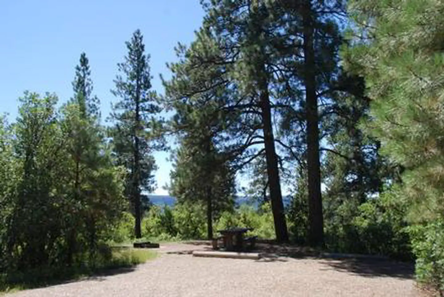 Target Tree CampgroundCampground · 20 sites
Overview Target Tree Campground is located 7 miles east of Mancos on the north side of Highway 160 at an elevation of 7,643 feet.
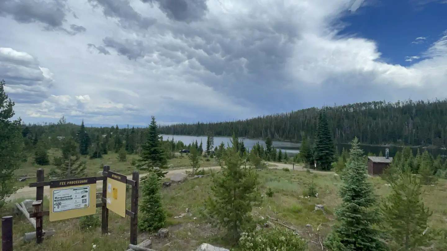 Teal Lake Group CampsiteCampground · 18 sites
Overview Teal Lake Group Site and Campground is set along a small yet scenic lake in north central Colorado in the heart of the Rocky Mountains.
- Tenderfoot #76Facility · not watchable
The Tenderfoot Trail travels through the sagebrush and lodgepole pine forests. The views of the Tenmile Range, the Gore Range and Dillon Reservoir from this…
- Tewksberry Trailhead #842Facility · not watchable
Tewksberry Trail makes a gentle ascent over scenic Meadow Pass between Cattle Mountain and Demijohn Peak.
- Texas Creek Summer Home Group TrailheadFacility · not watchable
Non-Motorized Trail -- Camping is not permitted at the trailhead itself since it is located within the Rio Grande Canyon, Summer Home Group.
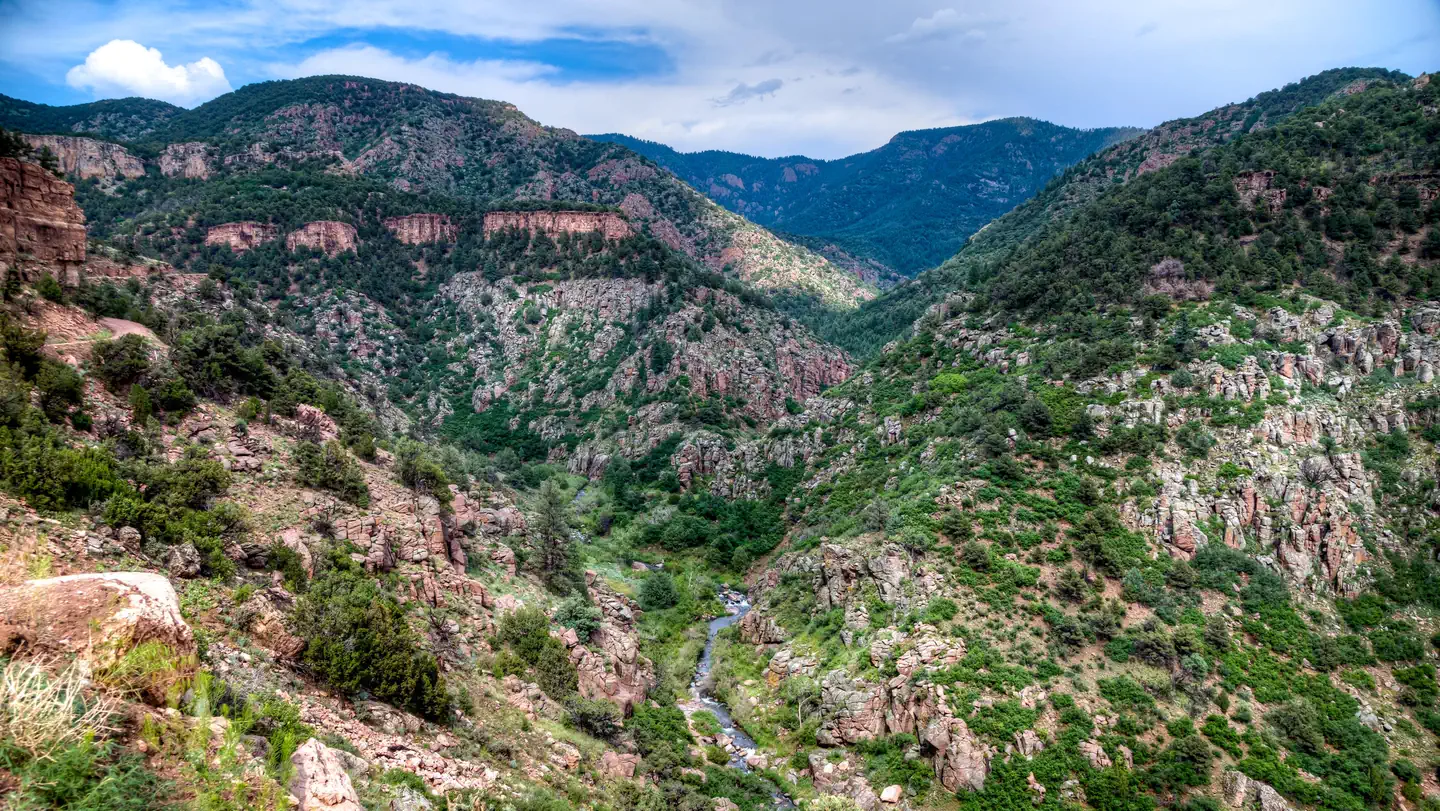 The Bank CampgroundCampground · 35 sites
Overview Open year-round; visitors come for the spectacular rock climbing adjacent to the campground.
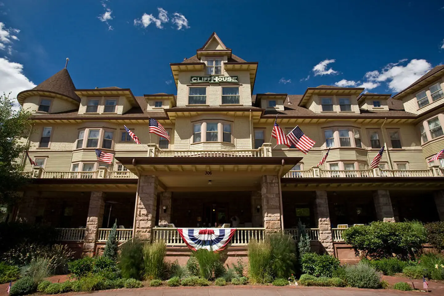 The Cliff House at Pikes PeakFacility · not watchable
The Cliff House at Pikes Peak, built in 1874 and a member of Historic Hotels of America® since 2001 was listed in the National Register of Historic Places in…
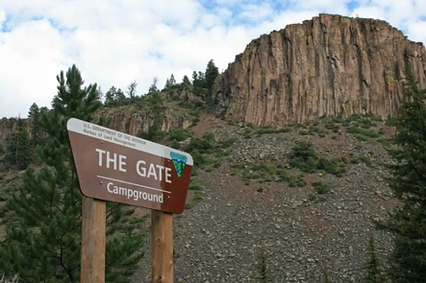 The Gate CampgroundCampground · not watchable
This campground is tucked into the center of the geologic formation known as The Gate, a notch in the rocks carved by the Lake Fork of the Gunnison River.
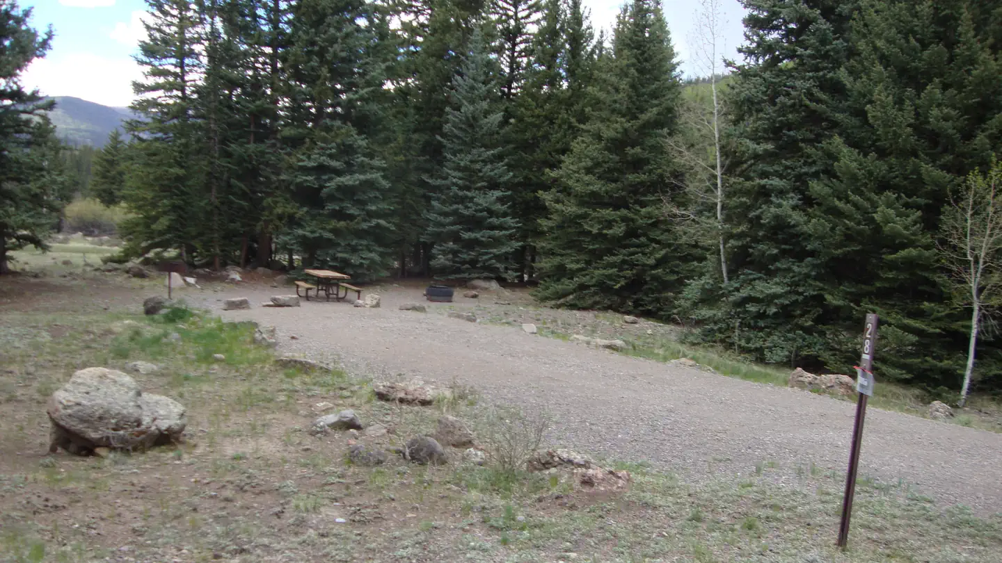 Thirty MileCampground · 35 sites
Overview Thirty Mile Campground is nestled on the banks of the Rio Grande River, just a short mile from the Rio Grande Reservoir.
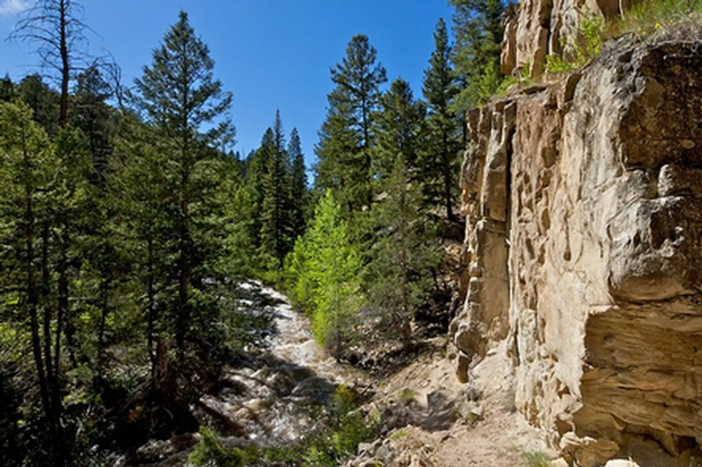 Thompson Creek CampgroundCampground · not watchable
The Thompson Creek Recreation Management Area is located just a few miles southwest of Carbondale and provides beautiful, remote recreational opportunities.
- Three Forks Trailhead 712Facility · not watchable
The Three Forks Trailhead starts at the end of Forest Development Road 247. It is open to parking for vehicles and horse trailers.
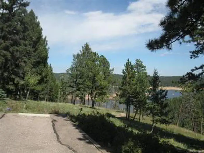 Thunder RidgeCampground · 20 sites
Overview Thunder Ridge Campground, located above the Rampart Reservoir, is one of two campgrounds within the Rampart Reservoir Recreation Area.
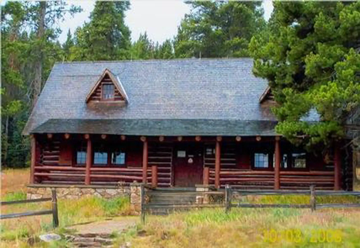 Tigiwon Community HouseCampground · 1 sites
Overview The historic Tigiwon Community house is a large day-use cabin, perfect for family reunions, parties or weddings.
- Timberline #414Facility · not watchable
Forest Trail #414 (Timberline Trail) is 27.4 miles long. It begins at Forest Road #7742.H1 (6 Shooter Brown Road) and ends at Forest Road #7267.2B (Garden…
 Timberline CampgroundCampground · 24 sites
Overview The Timberline Campground, near Kenosha Pass, is about 7 miles southwest of the small town of Grant.
- Tom Bennett CampgroundFacility · not watchable
Located near Pingree Park, this campground is situated adjacent to the South Fork Cache la Poudre River in a lodgepole pine forest setting.
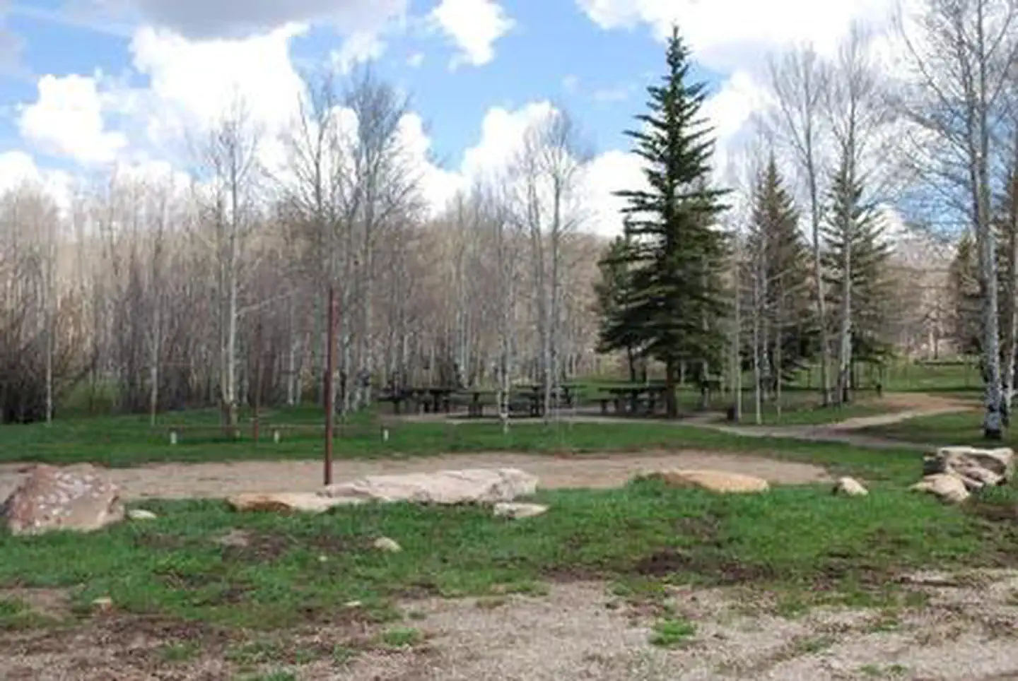 Transfer CampgroundCampground · 17 sites
Overview Transfer Campground, located approximately 11 miles north of Mancos, Colorado in the San Juan National Forest, is known for its access to many area…
- Transfer Park CampgroundCampground · not watchable
Transfer Park Campground is only 1 mile past Florida Campground, with 11 shaded acres above the Florida River.
- Trout Trailhead #831Facility · not watchable
The Trout trail is 10.4 miles long. It begins at Hwy 160 and ends at Forest Road 430.
- Trujillo Meadows Boating SiteFacility · not watchable
Trujillo Meadows Reservoir is 69 surface acres in size. The lake offers fishing for browns, rainbows and occasional brook trout.
- Turret Creek #1832Facility · not watchable
The Turret Creek trail begins at the Hilltop Trailhead near Sweetwater Lake and ends at Trapper's Lake Trail #1816.
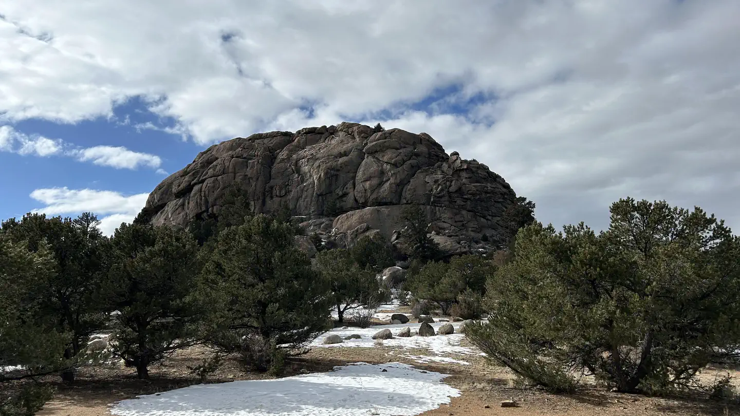 Turtle Rock CampgroundCampground · 24 sites
Overview Turtle Rock Campground, located at an elevation of 8290 feet, is 3.5 miles north of Buena Vista, Colorado.
- Twin Lakes Historic DistrictFacility · not watchable
Located next to Colorado's two largest glacial lakes, the Twin Lakes Village began as a stop en-route between the mining districts of Leadville and Aspen.
- Twin Peaks CampgroundCampground · not watchable
Twin Peaks is a first-come, first-served campground located west of Twin Lakes Reservoir in a shaded aspen and lodgepole pine forest.
- Upper Beaver Creek Recreation SiteFacility · not watchable
The San Miguel river offers the whitewater boater a variety of runs, all within the class II+ to III range.
- Upper Cataract Lake #63Facility · not watchable
Upper Cataract Lake is in the Eagles Nest Wilderness area in the Gore Range mountains.
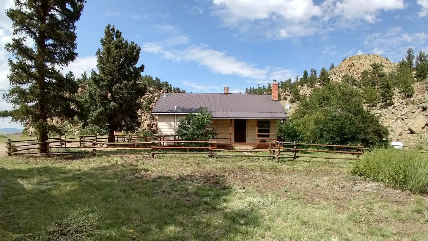 Upper Crossing Guard StationCampground · 1 sites
Overview Upper Crossing Guard Station is located at an elevation of 8,400 feet, along a scenic byway near the Continental Divide, offering visitors a…
- Upper Piney #1885Facility · not watchable
The Upper Piney trail begins at Piney Lake at the end of the Red Sandstone Road #700 and ends at the Piney River falls: The trail starts at picturesque Piney…
- Upper South Fork Trailhead #720Facility · not watchable
The Upper South Fork Trail head begins at the dispersal camping site approx. 1 1/2 miles above the Lower South Fork Trailhead.
- Ute - Sweetwater #2032Facility · not watchable
The Ute-Sweetwater Trail runs north from Sweetwater Lake to Big Springs along the eastern edge of W Mountain and the Flat Tops Wilderness.
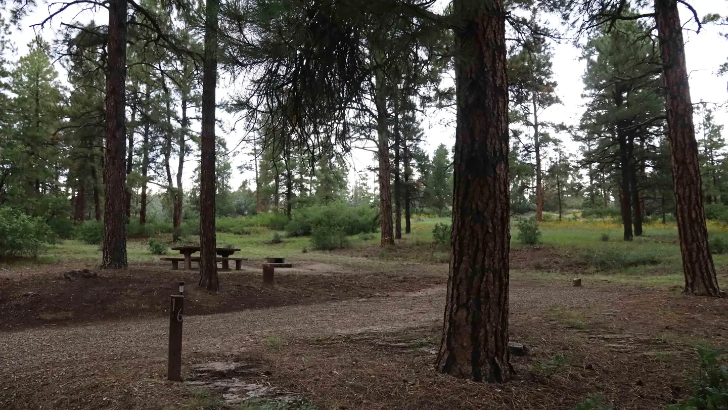 Ute Campground (CO)Campground · 21 sites
Overview Ute Campground is located on US Hwy 160 across from Chimney Rock National Monument, 15 miles west of Pagosa Springs, 25 miles east of Bayfield, and 18…
- Ute Pass/Peak #24Facility · not watchable
The Ute Peak Trail offers some of the best views of the Gore Range available. Initially the trail climbs up to Ute Pea and then stays on the ridge of the…
- Vail AreaFacility · not watchable
The eastern portion of the Eagle-Holy Cross Ranger District surrounding the towns of Vail, Avon, and Redcliff, including the east side of the Holy Cross…
- Valle Verde Group Picnic SiteFacility · not watchable
CLOSED AS A DEVELOPED SITE. This site is a historical girl scout camp that closed in 2012 and is now managed as a walk in area off the road. It is still a…
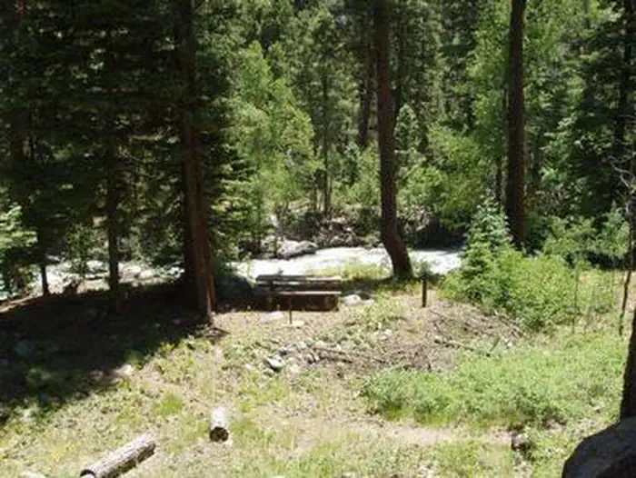 Vallecito CampgroundCampground · 79 sites
Overview Vallecito Campground is a very popular site and one of the largest within the San Juan National Forest.
- Vasquez Peak WildernessFacility · not watchable
The Vasquez Peak Wilderness was congressionally established in 1993. It encompasses 12,300 acres of tundra and spruce/fir forest in the Arapaho and Roosevelt…
- Vogel Canyon Picnic AreaFacility · not watchable
Vogel Canyon is a scenic tributary of the Purgatorie River. Permanent springs at the bottom of the canyon support a variety of wildlife, which can best be seen…
- W. Mountain #1817Facility · not watchable
The W. Mountain trail begins at Forest Road #616 and ends at Island Lakes Trail #1842.
- Washington Gulch #403Facility · not watchable
The Washington Gulch Trail #403 begins a quarter mile north of the Gothic Campground and ends when it intersects the Washington Gulch Road, FSR #811. The…
- Wearyman Road #747Facility · not watchable
This rugged dirt road starts at Shrine Pass Road #709 and ends at Resolution Road #702 near the top of Ptarmigan Pass.
- Weller Lake #1989Facility · not watchable
Weller Lake trail immediately forks from the parking lot, take the right fork following the stream down valley.
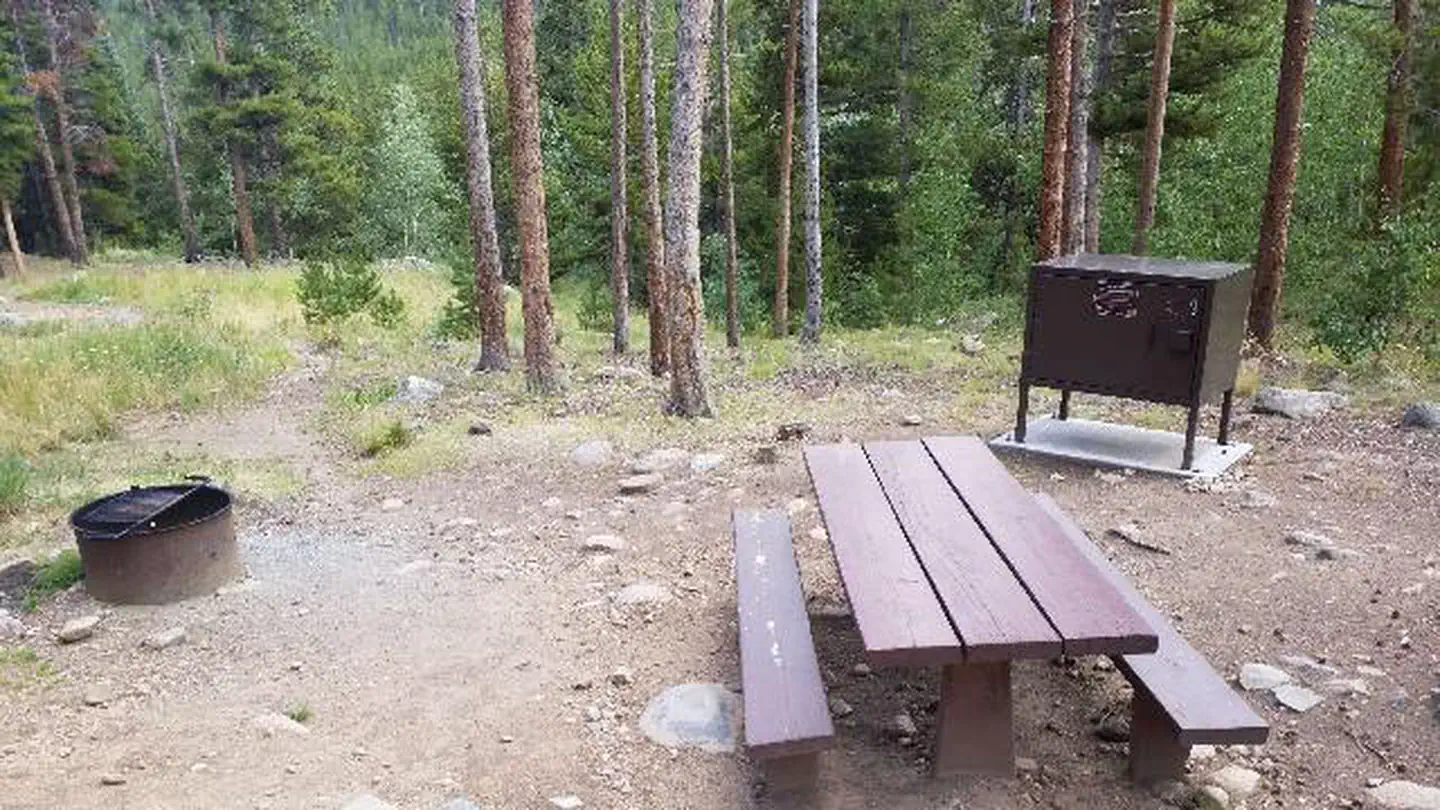 West Chicago CreekCampground · 14 sites
Overview West Chicago Creek Campground sits along its namesake creek at the base of Mount Blue Sky and is located off Highway 103 on the Arapaho and Roosevelt…
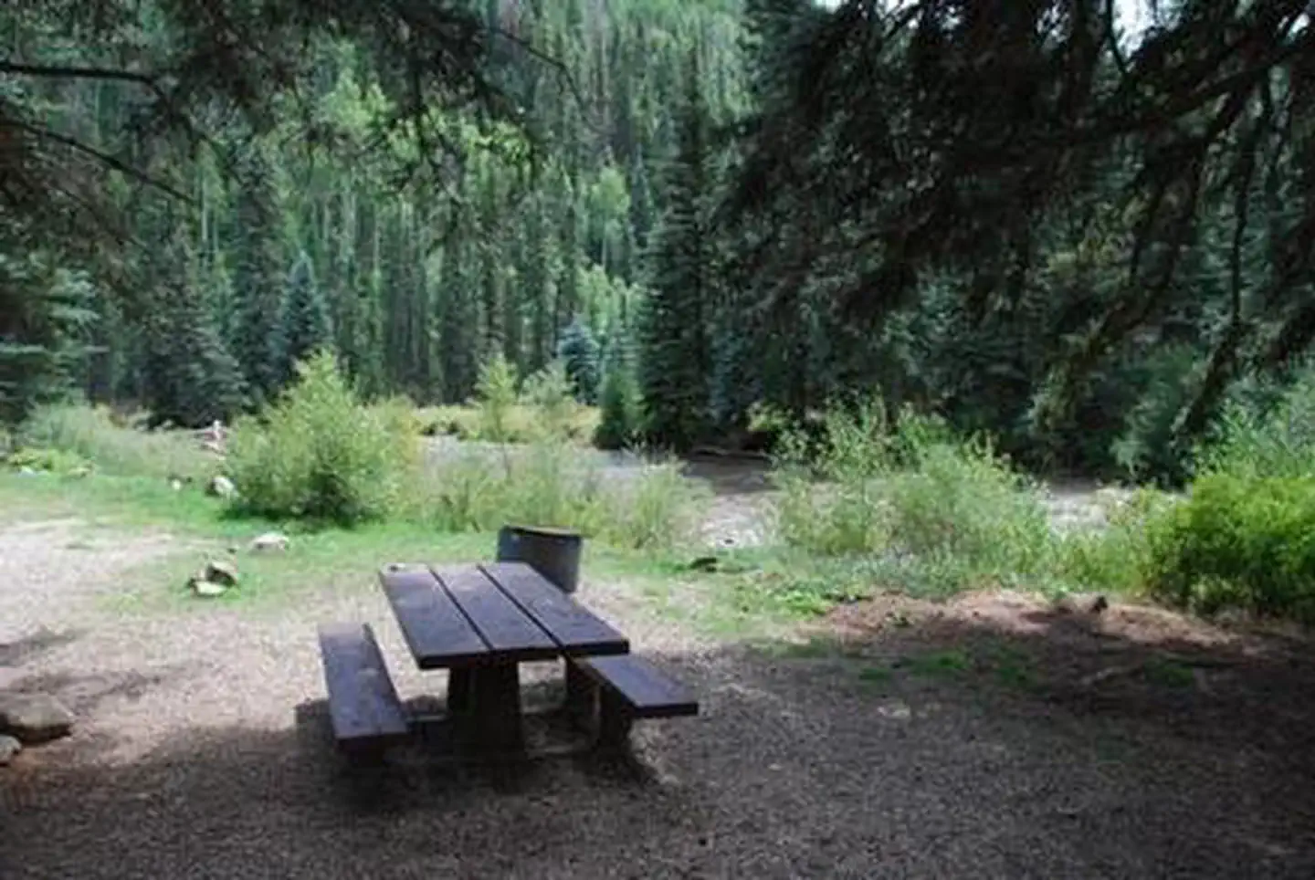 West Dolores CampgroundCampground · 18 sites
Overview West Dolores Campground is located on the West Dolores Road (Forest Road 535), which branches north from Colorado Highway 145 about 20 miles northeast…
 West Fork CampgroundCampground · 27 sites
Overview West Fork Campground sits near the West Fork San Juan River in a secluded 10-acre area, just over a mile from Highway 160.
- West Fork TrailheadFacility · not watchable
July 16, 2014 West Fork Trail update, San Juan National Forest The popular West Fork Trail on the Pagosa Ranger District of the San Juan National Forest, which…
- West Grouse Creek #2129Facility · not watchable
The West Grouse Creek trail begins at Us Hwy 24 near Minturn and ends at Turquoise Lakes: This trail is an old Forest road through pastureland for…
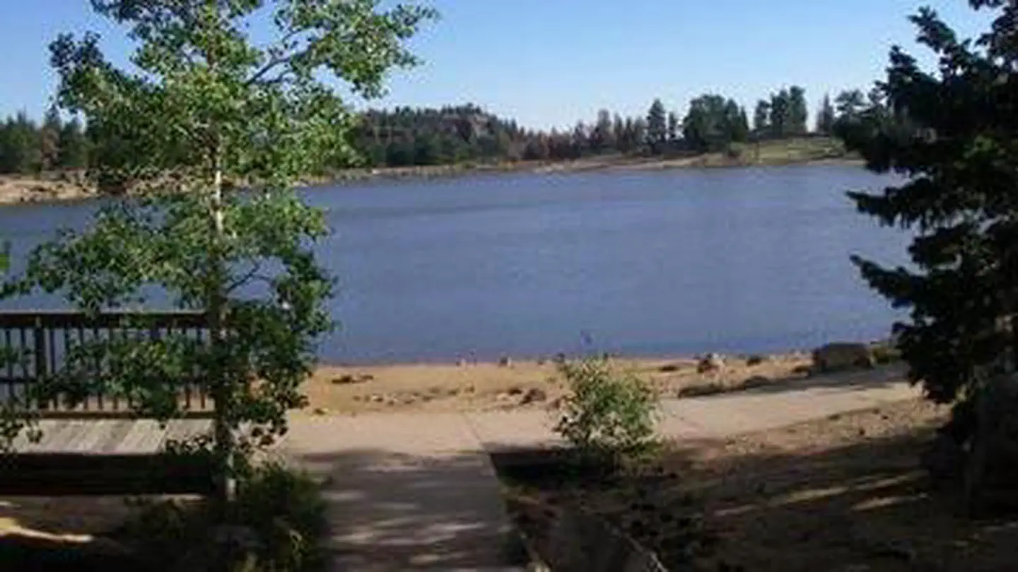 West LakeCampground · 35 sites
Overview West Lake Campground is located 48 miles northwest of Fort Collins, in north central Colorado, near the village of Red Feather Lakes.
- West Lake Day Use AreaFacility · not watchable
This is a day use fee area that provides parking and access to West Lake. There are seven picnic sites at this facility, each with a table and fire pit or…
- West Maroon #1970Facility · not watchable
ALERT: Due to recent bear activity, bear canisters are required for all backpackers in the Maroon Bells-Snowmass Wilderness.
- West Snowmass #2187Facility · not watchable
ALERT: Due to recent bear activity, bear canisters are required for all backpackers in the Maroon Bells-Snowmass Wilderness.
- West White Pine Road (#100)Facility · not watchable
This road was heavily damaged during the 2012 Fire and 2013 Flood and remains closed. Foot traffic is allowed.
- Wheeler Geologic AreaFacility · not watchable
Wheeler Geologic Area is part of the La Garita Wilderness, within this area you will find many trails, some nearby peaks over 13,000 ft and amazing views.
- Wheeler Lakes (Gore Range #60)Facility · not watchable
This trail enters the Eagles Nest Wilderness and provides great views of Copper Mountain Ski Area to the south and the Tenmile Range to the southeast.
- Wheeler National Recreation #39Facility · not watchable
The Wheeler National Recreation Trail can either be started outside of Blue River just north of McCullough Gulch or near Copper Mountain.
- Whistler PointFacility · not watchable
Located on the North shore to the east of the Mt. Elbert Powerplant. Remember to check fishing regulations before fishing at any body of water.
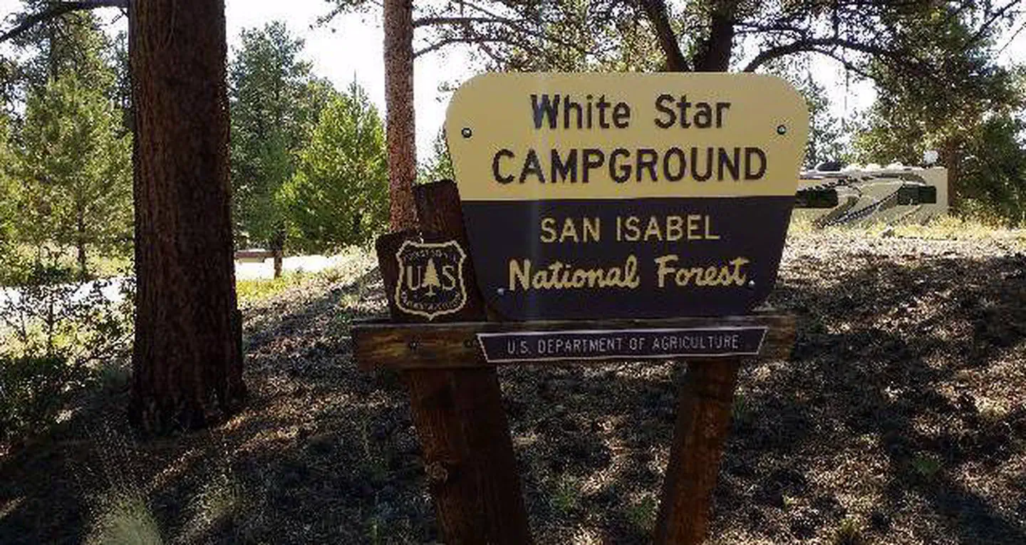 White StarCampground · 49 sites
Overview Picturesque White Star Campground lies at the foot of Mt. Elbert, Colorado's highest peak, among fragrant ponderosa pines.
- Whitney Lake #2002Facility · not watchable
The Whitney Lake trail begins at Homestake Road #703 and ends at Whitney Lake: This short but steep trail ascends quickly through aspen and conifer groves to…
- Wilder Gulch #75Facility · not watchable
This is a pleasant 3½ mile hike from the parking lot at Vail Pass to the top of Ptarmigan Pass.
- Wilderness areasFacility · not watchable
With the passage of the Wilderness Act in 1964, Congress created the National Wilderness Preservation System.
- Wildhorse MesaFacility · not watchable
Wildhorse Mesa is an equestrian and hiking trail located in Rabbit Valley within McInnis Canyons National Conservation Area.
 Williams Creek CampgroundCampground · 60 sites
Overview This popular campground, 23 miles north of Pagosa Springs, Colorado, offers both shaded and sunny campsites with some located creek-side.
- Williams Fork TrailheadFacility · not watchable
The Williams Fork Trailhead is located near the South Fork Campground in the Williams Fork Valley. There is parking for about 5 vehicles.
- Willow Bend Picnic AreaFacility · not watchable
Located on the South Platte River Corridor at an elevation of 6,220', Willow Bend Picnic Area is approximately 1.5 hours drive southwest of Denver on Jefferson…
 Willow Creek GroupCampground · 1 sites
Overview Willow Creek Group Campground is located on Lake Granby, six miles north of Granby, in north central Colorado.
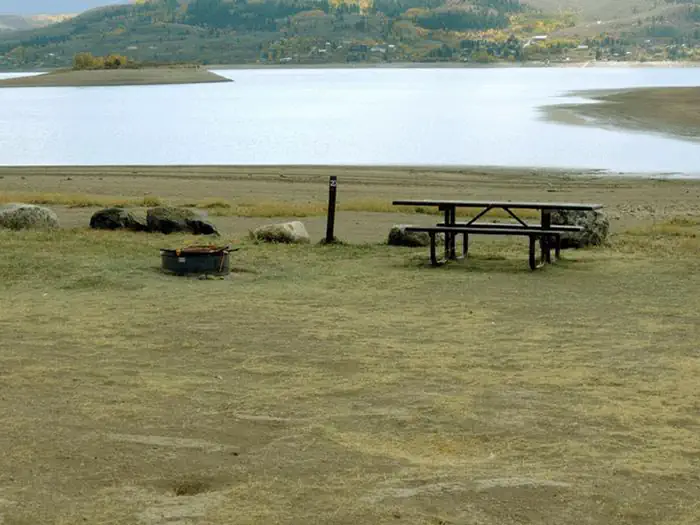 Willows Campground (CO)Campground · 21 sites
Overview Willows Campground is located on the north shore of Green Mountain Reservoir in White River National Forest, offering an ideal setting for visitors…
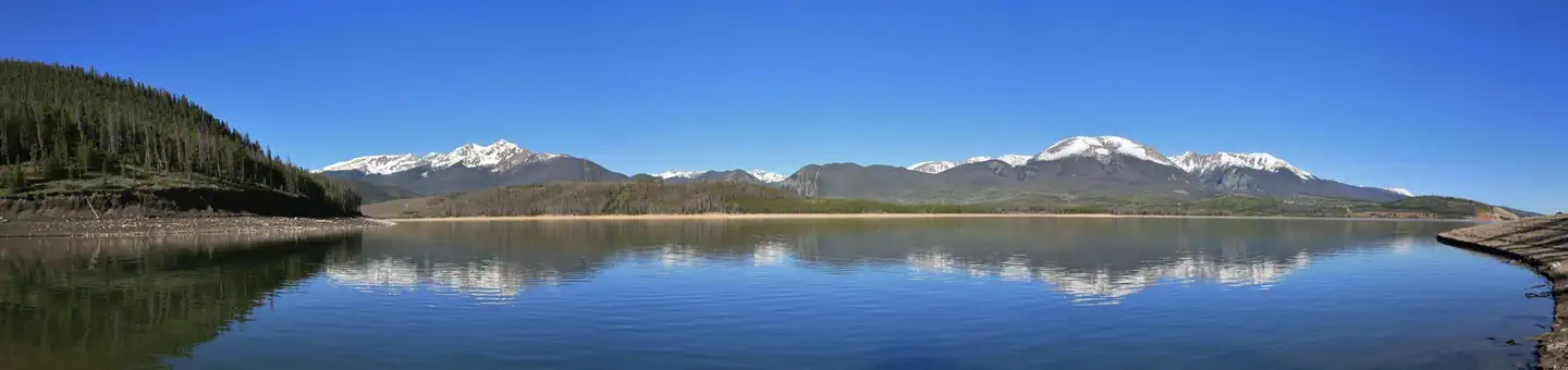 Windy Point Group (Co)Campground · 2 sites
Overview Windy Point is located near Dillon Reservoir at an elevation of 9,000 feet in the White River National Forest.
- Windy Point SiteFacility · not watchable
This site provides four campsites with picnic tables and BBQ stands or fire rings and an ADA-Accessible Vault Toilet.
- Wingo Junction River AccessFacility · not watchable
The Wingo Junction Recreation Site is a river access and boat launch area for the Roaring Fork River upstream of Basalt, CO.
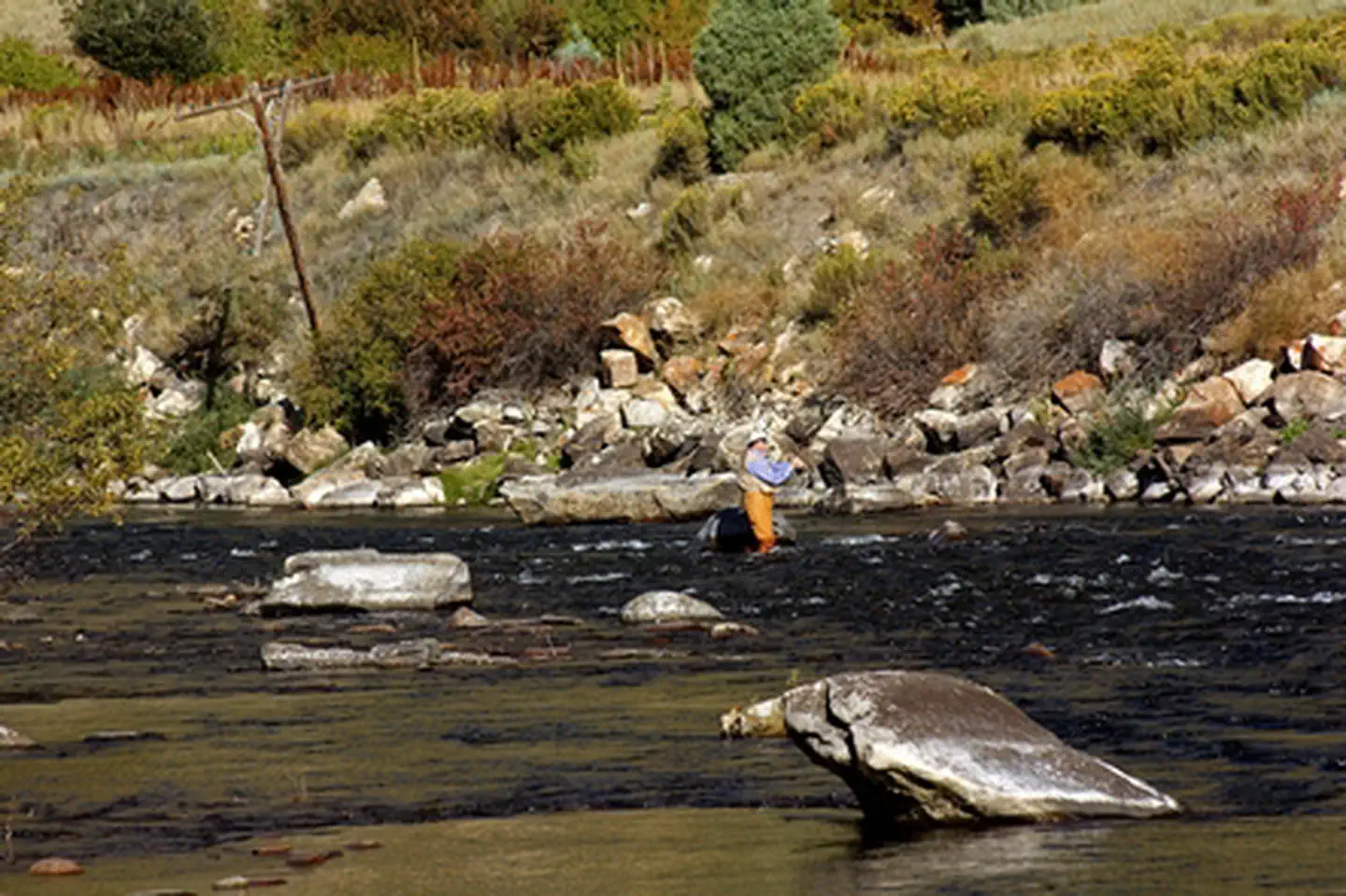 Wolcott CampgroundCampground · not watchable
Wolcott Campground is located along the Eagle River and is readily accessible from Interstate Highway 70.
- Wolf Creek Ski AreaFacility · not watchable
The Wolf Creek Ski Area sits on 1581 acres of Forest Service lands at the top of Wolf Creek Pass.
- Wolford Red Desert OverlookFacility · not watchable
The Wolford Mountain area provides unrestricted use for the foot traffic throughout the area.
- Woody Creek #1994Facility · not watchable
The trail climbs steeply in sections to the junction with the Spruce Creek Trail.Take the right fork up the hill. The Spruce Creek Trail is straight ahead.
- Wymore Lake #1801Facility · not watchable
The Wymore Lake splits off the Wilson Mesa Trail (#1800) about .5 of a mile from the Morapos Trailhead.
- Yeoman Park Discovery TrailheadFacility · not watchable
This short interpretive trail is at an elevation of 9000 feet. It is designed to accommodate those forest visitors that may be disabled.
- Yule Pass #2083Facility · not watchable
The first 3/4 mile of this trail is steep but levels off to a gradual climb when you reach the creek.
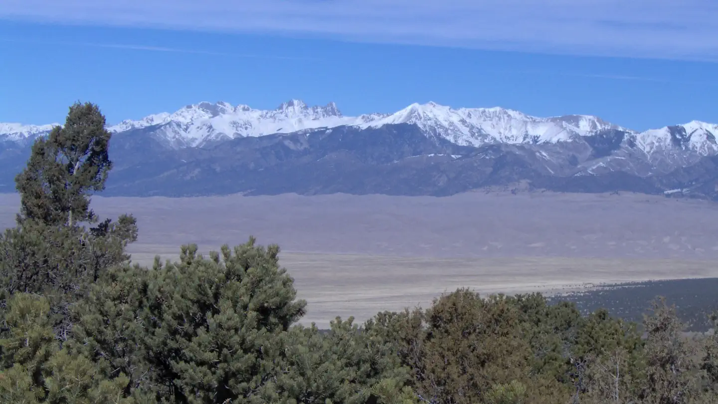 Zapata Falls CampgroundCampground · 40 sites
Overview A short drive up the gravel road that leads to the Bureau of Land Management’s Zapata Falls Campground (CG) will let visitors to the area see the San…
 Zapata Falls Day Use AreaFacility · not watchable
A short, yet slippery hike leads to the view of a 25-foot waterfall at Zapata Falls Recreation Area.
Facility information and photographs from Recreation.gov (RIDB). SpotOpened is not affiliated with Recreation.gov or any federal agency.