North Rim Ranger Station
Visitor Center · Colorado ·
Managed by the National Park Service
Black Canyon of the Gunnison National Park (National Park) · Open Access
- 7,700 ft
- Elevation
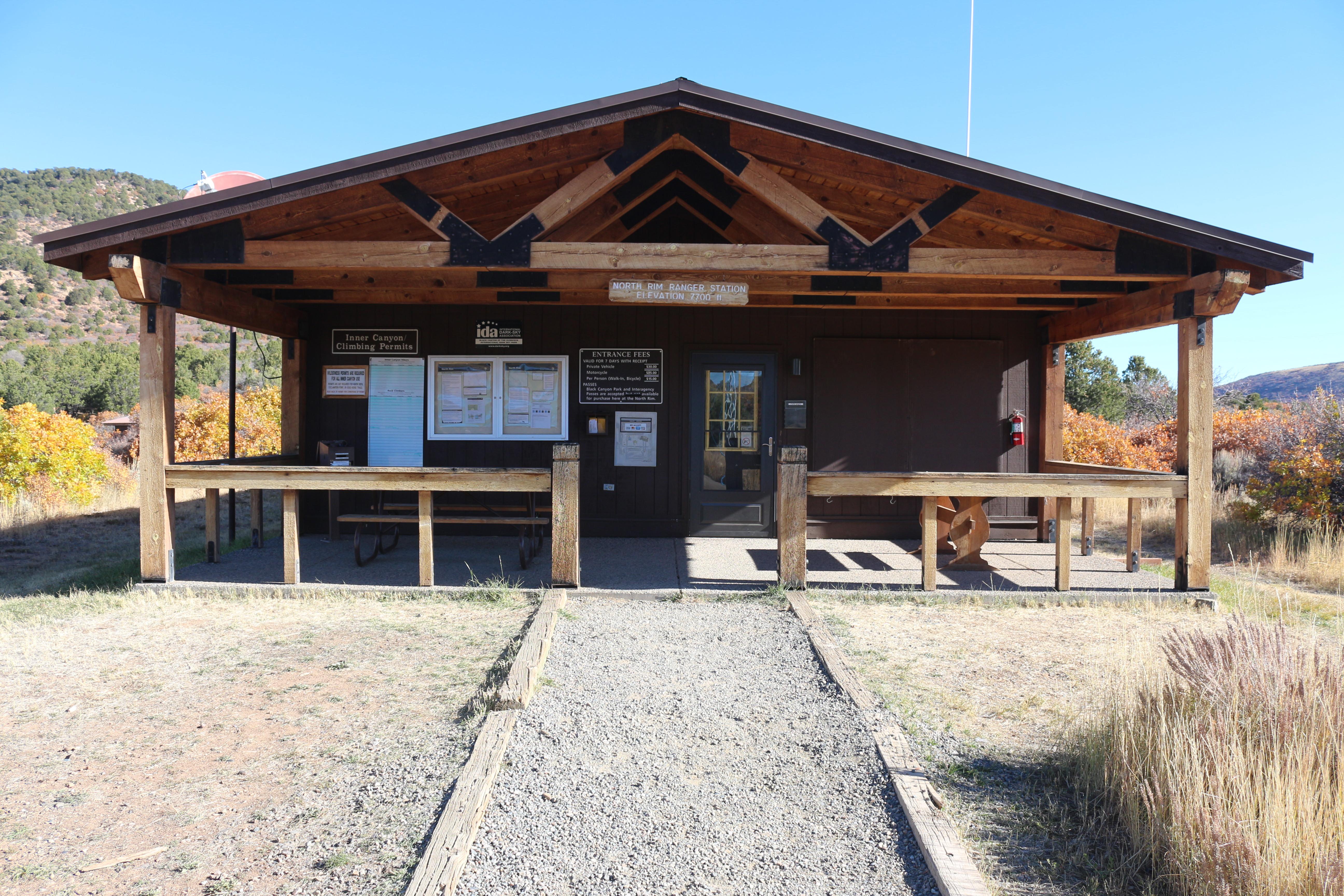
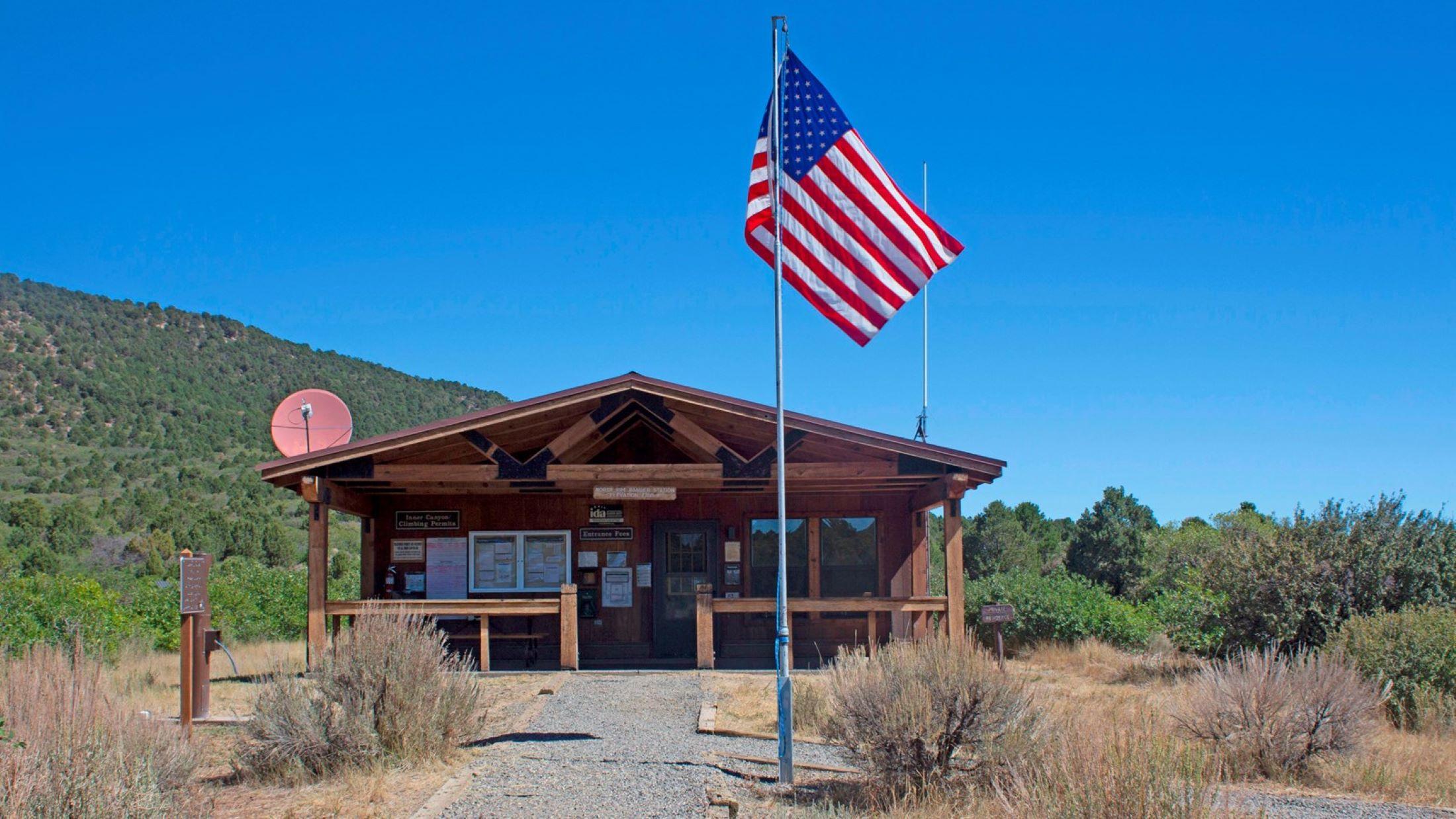
The North Rim Ranger Station is open intermittently in summer and closed in winter. In the summer, maps and information are available on the ranger station porch. A self-registration kiosk for wilderness permits is located outside.
Getting there
The North Rim is 11 miles southwest of Crawford, Colorado. From CO Highway 92, turn west on Black Canyon Road approximately 3 miles south of Crawford. Follow the road signs to the park. The last 7 miles are unpaved. The North Rim is closed to vehicles in the winter.
38.58703, -107.70484 · 38°35'13.3"N 107°42'17.4"W
Typical weather
Typically 82°F in Jul, down to 36°F in Dec.
| Jan | Feb | Mar | Apr | May | Jun | Jul | Aug | Sep | Oct | Nov | Dec | |
|---|---|---|---|---|---|---|---|---|---|---|---|---|
| High °F | 37 | 40 | 49 | 56 | 66 | 76 | 82 | 81 | 72 | 60 | 47 | 36 |
| Low °F | 13 | 16 | 23 | 29 | 38 | 46 | 53 | 52 | 44 | 33 | 23 | 13 |
| Precip in | 1.7 | 1.7 | 2.0 | 1.8 | 1.6 | 0.7 | 1.6 | 1.7 | 2.1 | 1.9 | 1.5 | 1.5 |
1991–2020 averages from the nearest NOAA station, 2.4 mi away — not measured at the facility itself, and elevation can make a real difference over that distance.
Map
More photos

Member photos
Common questions about North Rim Ranger Station
- Can you reserve a site at North Rim Ranger Station?
- No. North Rim Ranger Station is not reservable through Recreation.gov, so sites are first-come, first-served or booked elsewhere.
Camping near North Rim Ranger Station
- Black Canyon Of The Gunnison North Rim Campground 0.3 mi · Campground · we watch it
- Black Canyon Of The Gunnison South Rim Campground 2.7 mi · Campground · we watch it
- East Portal Campground 5.1 mi · Campground · we watch it
- South Rim Visitor Center 2.4 mi · Visitor Center
- East Portal Campground 5.1 mi · Campground
- Bobcat Trailhead 9.4 mi · Facility
- Flat Top OHV Staging Area 9.5 mi · Facility
- Duncan Trailhead 9.7 mi · Facility
- Eagle Valley Trailhead 9.8 mi · Facility
- Peach Valley OHV Staging Area 10.2 mi · Facility
- Ute Trailhead- Gunnison Gorge 10.8 mi · Facility
- Cimarron Campground 12.7 mi · Campground
Contact
- Phone (970) 641-2337
- Email blca_info@nps.gov
- Info Recreation.gov
Recreation.gov last updated this record on 2026-05-26.
Facility information and photographs from Recreation.gov (RIDB). SpotOpened is not affiliated with Recreation.gov or any federal agency.
Comments