Eagle Valley Trailhead
Facility ·
Managed by the Bureau of Land Management
Gunnison Gorge National Conservation Area (BLM_NCA) · Open Access
- 5,711 ft
- Elevation
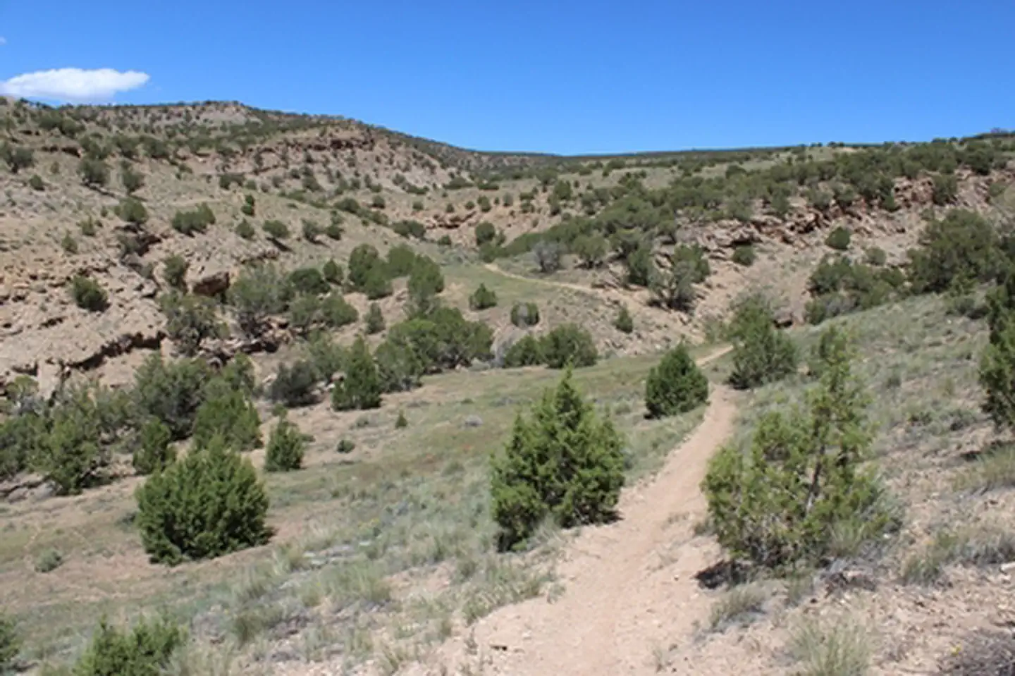
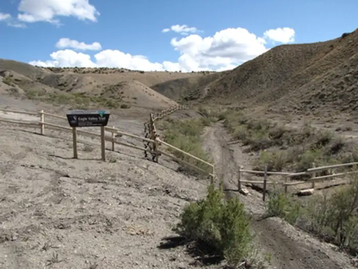
Eagle Valley Trail is 1 mile in length. It is a shared use, single-track trail (motorcycle, mountain bike, horseback, and hike). The trail follows the bottom of a small canyon, which in places is very narrow. This is a good hike for families and kids. It also provides connections to longer single-track routes (Sidewinder and Sunset Rocks trails). For more information, please contact the Gunnison Gorge NCA or Uncompahgre Field Office.
Getting there
From Olathe, Colorado drive east on Falcon Road. In 3.8 miles it turns from paved to gravel and becomes Peach Valley Road. Continue on Peach Valley Road for 1.4 miles, then turn right on Chukar Road. Eagle Valley Trailhead is about 0.1 miles down Chukar Road on the left.
38.60402, -107.88438 · 38°36'14.5"N 107°53'3.8"W
Typical weather
| Jan | Feb | Mar | Apr | May | Jun | Jul | Aug | Sep | Oct | Nov | Dec | |
|---|---|---|---|---|---|---|---|---|---|---|---|---|
| High °F | — | — | — | — | — | — | — | — | — | — | — | — |
| Low °F | — | — | — | — | — | — | — | — | — | — | — | — |
| Precip in | 0.4 | 0.5 | 0.8 | 0.9 | 1.1 | 0.6 | 1.3 | 1.4 | 1.4 | 1.1 | 0.8 | 0.4 |
1991–2020 averages from the nearest NOAA station, 5.5 mi away — not measured at the facility itself, and elevation can make a real difference over that distance.
Map
Fees and stay limits
No Fee
From Recreation.gov, which is not always current. The operator's own page is the authority on what you will be charged.
More photos
Member photos
Common questions about Eagle Valley Trailhead
- Can you reserve a site at Eagle Valley Trailhead?
- No. Eagle Valley Trailhead is not reservable through Recreation.gov, so sites are first-come, first-served or booked elsewhere.
Camping near Eagle Valley Trailhead
- Black Canyon Of The Gunnison North Rim Campground 9.5 mi · Campground · we watch it
- Black Canyon Of The Gunnison South Rim Campground 11.3 mi · Campground · we watch it
- Peach Valley OHV Staging Area 0.7 mi · Facility
- Bobcat Trailhead 1.9 mi · Facility
- Duncan Trailhead 3.2 mi · Facility
- Ute Trailhead- Gunnison Gorge 5.5 mi · Facility
- Flat Top OHV Staging Area 5.9 mi · Facility
- North Rim Ranger Station 9.8 mi · Visitor Center
- South Rim Visitor Center 11.2 mi · Visitor Center
- Orchard Boat Ramp 11.3 mi · Facility
- Cottonwood Grove Campground 12.1 mi · Campground
- West River Trailhead 12.5 mi · Facility
Contact
- Phone 970-240-5300
- Info Recreation.gov
Recreation.gov last updated this record on 2026-02-25.
Facility information and photographs from Recreation.gov (RIDB). SpotOpened is not affiliated with Recreation.gov or any federal agency.
Comments