South Rim Visitor Center
Visitor Center · Colorado ·
Managed by the National Park Service
Black Canyon of the Gunnison National Park (National Park) · Open Access
- 8,162 ft
- Elevation
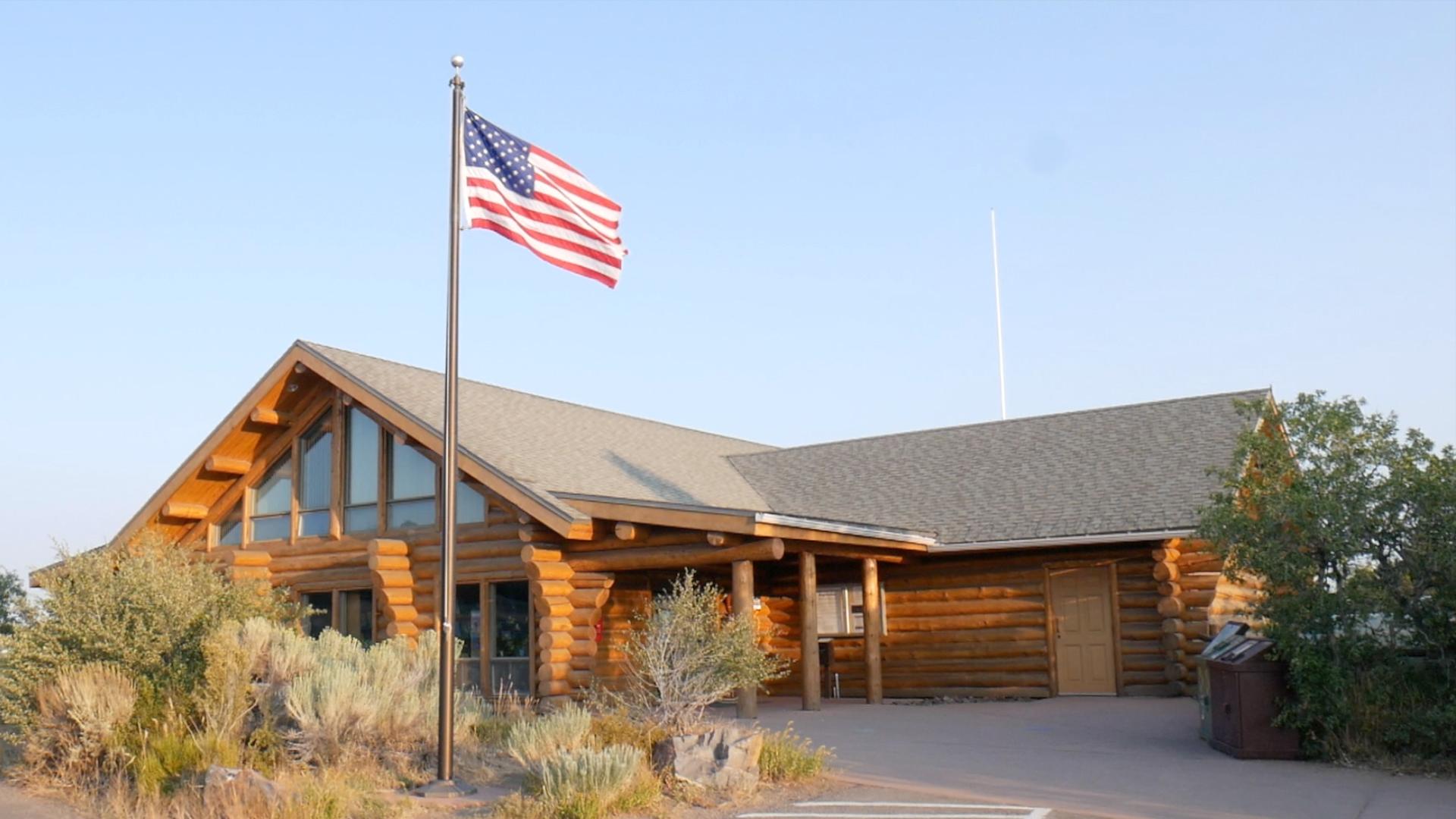
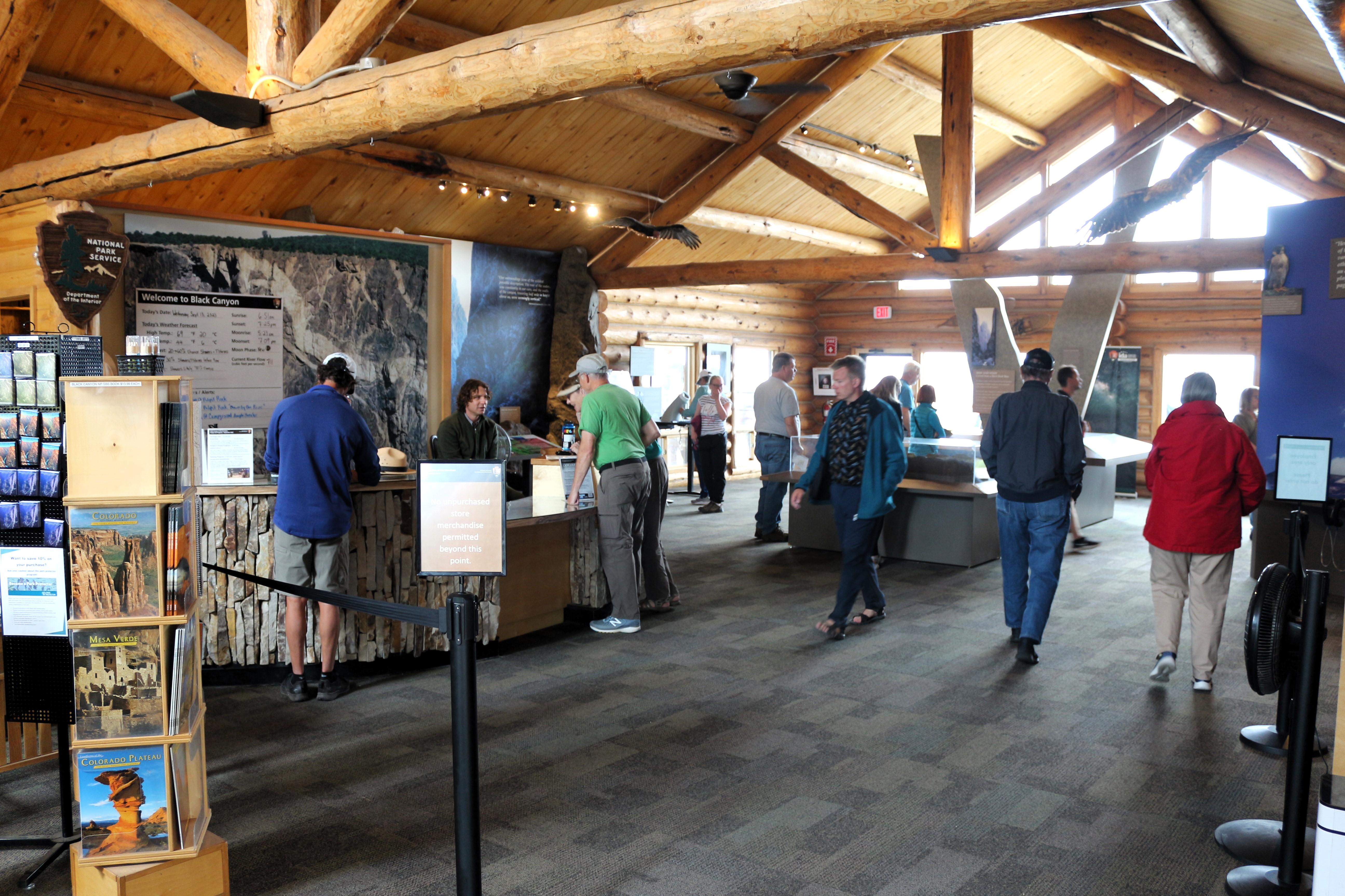
This visitor center has exhibits, information, book and map sales, water (available seasonally), vault toilets, and hiking trailheads. It is open year-round with the exception of Thanksgiving Day, Christmas Day, and New Years Day.
Getting there
7 miles north on CO Highway 347 from the intersection with U.S. Highway 50.
GPS: N 38.5550 W -107.6866
38.55499, -107.68658 · 38°33'18.0"N 107°41'11.7"W
Typical weather
Typically 82°F in Jul, down to 36°F in Dec.
| Jan | Feb | Mar | Apr | May | Jun | Jul | Aug | Sep | Oct | Nov | Dec | |
|---|---|---|---|---|---|---|---|---|---|---|---|---|
| High °F | 37 | 40 | 49 | 56 | 66 | 76 | 82 | 81 | 72 | 60 | 47 | 36 |
| Low °F | 13 | 16 | 23 | 29 | 38 | 46 | 53 | 52 | 44 | 33 | 23 | 13 |
| Precip in | 1.7 | 1.7 | 2.0 | 1.8 | 1.6 | 0.7 | 1.6 | 1.7 | 2.1 | 1.9 | 1.5 | 1.5 |
1991–2020 averages from the nearest NOAA station, 0 mi away — not measured at the facility itself, and elevation can make a real difference over that distance.
Map
More photos
Member photos
Common questions about South Rim Visitor Center
- Can you reserve a site at South Rim Visitor Center?
- No. South Rim Visitor Center is not reservable through Recreation.gov, so sites are first-come, first-served or booked elsewhere.
Camping near South Rim Visitor Center
- Black Canyon Of The Gunnison South Rim Campground 0.3 mi · Campground · we watch it
- Black Canyon Of The Gunnison North Rim Campground 2.4 mi · Campground · we watch it
- East Portal Campground 2.8 mi · Campground · we watch it
- Cimarron Campground (CO) 10.5 mi · Campground · we watch it
- North Rim Ranger Station 2.4 mi · Visitor Center
- East Portal Campground 2.8 mi · Campground
- Flat Top OHV Staging Area 9.6 mi · Facility
- Cimarron Campground 10.4 mi · Campground
- Bobcat Trailhead 11.2 mi · Facility
- Eagle Valley Trailhead 11.2 mi · Facility
- Peach Valley OHV Staging Area 11.5 mi · Facility
- Duncan Trailhead 11.7 mi · Facility
Contact
- Phone 970 641-2337
- Email blca_info@nps.gov
- Info Recreation.gov
Recreation.gov last updated this record on 2026-02-25.
Facility information and photographs from Recreation.gov (RIDB). SpotOpened is not affiliated with Recreation.gov or any federal agency.
Comments