Penitente Canyon Campground
Campground · Colorado · 17 bookable sites ·
Managed by the Bureau of Land Management
San Luis Valley Field Office (Bureau of Land Management CO) · Open Access
- 17
- Bookable sites
- up to 15
- People per site
- 7,915 ft
- Elevation
Overview
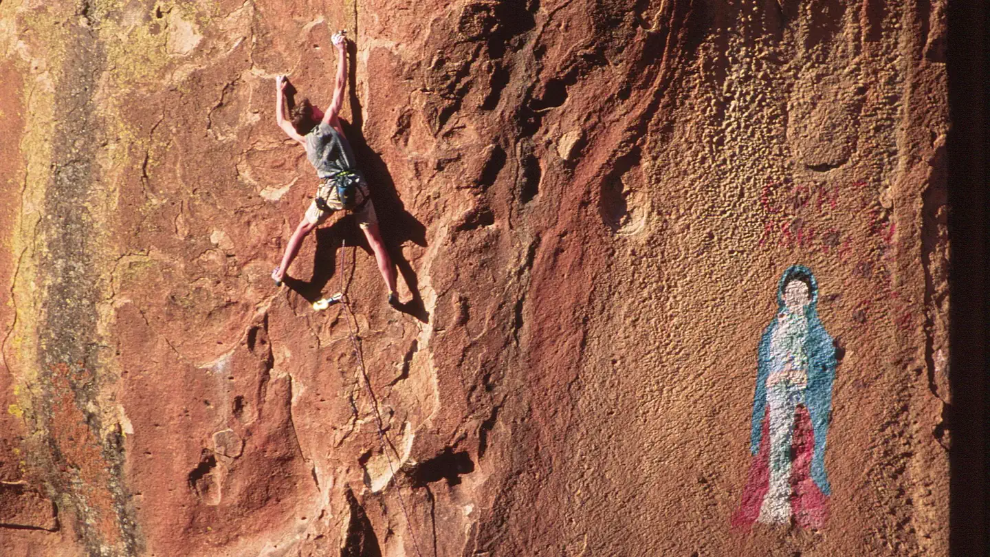
The canyonlands of Penitente Canyon offer a blend of peaceful surroundings and diverse recreation opportunities less than 10 miles from a major highway. Although the BLM manages the 4,552-acre Penitente Canyon primarily for rock climbers, the area also offers opportunities for heritage tourists, mountain bikers, hikers and equestrians.
Recreation
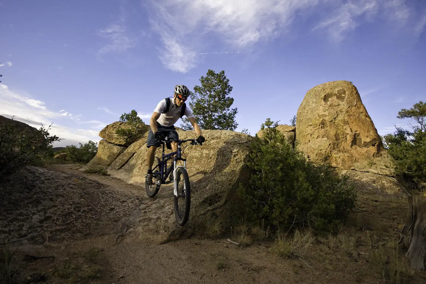
Penitente Canyon Recreation Area is a destination known for its world-class sport rock-climbing routes and its extensive singletrack trail system, mainly used by mountain bikers and hikers. The area is rich in both natural and cultural history, making it ideal for heritage tourists interested in the Old Spanish Trail and early American frontiersmen, as well as wildlife watchers and photographers.
• Standard Nonelectric
• Rv Nonelectric
• Group Tent Only Area Nonelectric
• Overnight
Facilities
• Road signs from highway to Recreation Area.
• Improved gravel roads in Recreation Area (no pavement).
• Public drinking water system (available May-Oct).
• 5 vault (or pit-type) toilets.
• Trash bins throughout campground and day-use areas.
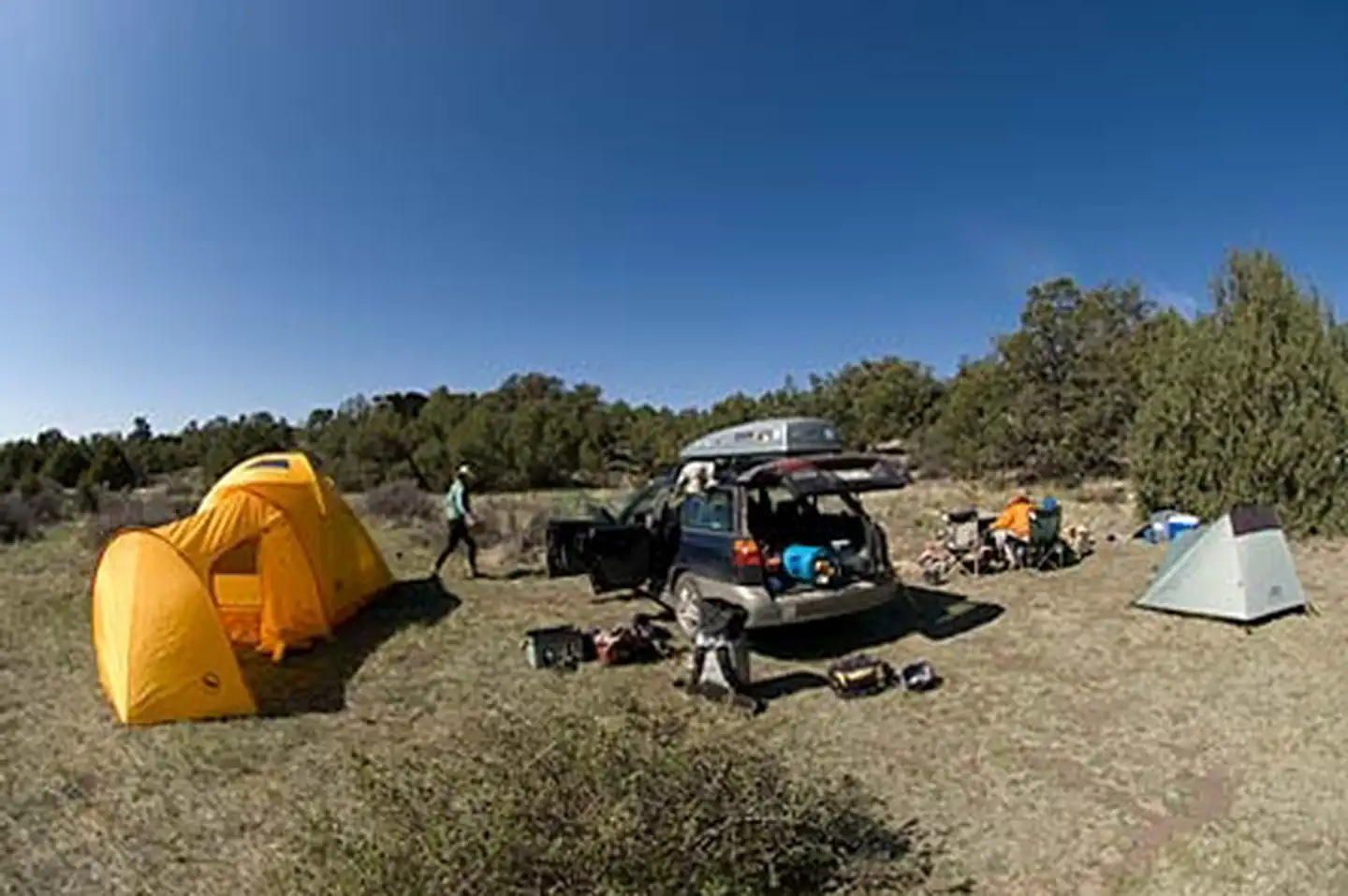
• 15 Individual sites (3 Tent Only and 12 RV/Tent), 2 Group Tent sites, 1 CG Host site, 1 Group Picnic Shelter site.
• Standard campground amenities-table, tent pads, fire ring, food storage locker, parking.
• Interpretive, informational, and directional signs.
• Trailhead and overflow parking areas.
• Foot, horse, and mountain bike trails.
• All facilities open year-round.
• Cell phone service is spotty in canyons.
Natural Features
Geology
The rocks in Penitente Canyon are remnants of up to 18 volcanic eruptions that took place in the San Juan Volcanic Field between 20 and 30 million years ago. The largest of these eruptions spewed 1,000 cubic miles of ash 27.8 million years ago, creating a huge underground chamber. Rocks overlying the chamber collapsed to create the La Garita Caldera.
History
Ancestors of the Utes, Jicarilla Apaches and Puebloans have all left evidence of time spent hunting and camping here, along with explorers and trappers. The valley’s first settlers were Hispanic farmers and sheepherders who migrated from northern New Mexico.
Native Americans left scattered pictographs (painted rock art) throughout these Canyonlands (the largest concentration in the San Luis Valley). Please leave all rock art as you find it. Do not touch, walk on, climb on, or disturb it in any way.
Nearby Attractions
• USFS-Rio Grande National Forest and Natural Arch.
• BLM-Elephant Rocks Recreation Area.
• La Garita Trading Post-food, gas, and small store.
• Town of Del Norte
Campgrounds Nearby
• USFS-Rio Grande National Forest – Poso CG, Storm King CG
Contact Info
For local information, please call (719) 852-7074 or call (877) 444-6777 for general information.The facts
- 17 bookable sites
- 18 sites in total, including non-bookable
- Up to 15 people per site
- Loops: Main Loop
Site types
- 11 Standard Nonelectric
- 4 Tent Only Nonelectric
- 2 Group Tent Only Area Nonelectric
- 1 Management
Amenities
- Campfires allowed
- Pets allowed
Not recorded upstream: electric hookups, water hookups, sewer hookups, fire pits, picnic tables, grills, shade.
18 campsites at Penitente Canyon Campground
| Site | Loop | Type | Entry | Surface | Max rig | People | |
|---|---|---|---|---|---|---|---|
| 1 | Main Loop | Standard Nonelectric | — | Gravel | — | 6 | 🐾 |
| 10 | Main Loop | Standard Nonelectric | — | Gravel | — | 6 | 🐾 |
| 11 | Main Loop | Tent Only Nonelectric | — | — | — | 6 | 🐾 |
| 12 | Main Loop | Standard Nonelectric | — | Gravel | — | 6 | 🐾 |
| 13 | Main Loop | Standard Nonelectric | — | Gravel | — | 6 | 🐾 |
| 14 | Main Loop | Standard Nonelectric | — | Gravel | — | 6 | 🐾 |
| 15 | Main Loop | Standard Nonelectric | — | Gravel | — | 6 | 🐾 |
| 2 | Main Loop | Standard Nonelectric | — | Gravel | — | 6 | 🐾 |
| 3 | Main Loop | Standard Nonelectric | — | Gravel | — | 6 | 🐾 |
| 4 | Main Loop | Standard Nonelectric | — | Gravel | — | 6 | 🐾 |
| 5 | Main Loop | Standard Nonelectric | — | Gravel | — | 6 | 🐾 |
| 6 | Main Loop | Standard Nonelectric | — | Gravel | — | 6 | 🐾 |
| 7 | Main Loop | Tent Only Nonelectric | — | Gravel | — | 6 | 🐾 |
| 8 | Main Loop | Tent Only Nonelectric | — | — | — | 6 | 🐾 |
| 9 | Main Loop | Tent Only Nonelectric | — | — | — | 6 | 🐾 |
| Group Site 1 | Main Loop | Group Tent Only Area Nonelectric | — | — | — | 15 | 🐾 |
| Group Site 2 | Main Loop | Group Tent Only Area Nonelectric | — | — | — | 15 | 🐾 |
| Host Site | Main Loop | Management | — | — | — | 6 | 🐾 |
Getting there
From U.S. 285, turn west onto Saguache County Road G. After 6 miles you will pass the La Garita Trading Post. Go another 0.5 miles to a Y intersection; take the left fork (County Road 38A). The entrance to the recreation area is another 0.5 miles, on your right. Elevation = 7,930 ft.
37.84181, -106.28002 · 37°50'30.5"N 106°16'48.1"W
Typical weather
| Jan | Feb | Mar | Apr | May | Jun | Jul | Aug | Sep | Oct | Nov | Dec | |
|---|---|---|---|---|---|---|---|---|---|---|---|---|
| High °F | — | — | — | — | — | — | — | — | — | — | — | — |
| Low °F | — | — | — | — | — | — | — | — | — | — | — | — |
| Precip in | 0.4 | 0.4 | 0.8 | 1.0 | 0.8 | 0.8 | 2.0 | 1.8 | 1.1 | 0.9 | 0.6 | 0.8 |
1991–2020 averages from the nearest NOAA station, 4.8 mi away — not measured at the facility itself, and elevation can make a real difference over that distance.
Map
Fees and stay limits
• Individual Sites = $11/night • Group Tent Sites = $20/night • 14 day max stay
From Recreation.gov, which is not always current. The operator's own page is the authority on what you will be charged.
More photos
Member photos
Common questions about Penitente Canyon Campground
- Can you reserve a site at Penitente Canyon Campground?
- Yes, Penitente Canyon Campground is reservable through Recreation.gov.
- How many campsites does Penitente Canyon Campground have?
- 18 sites in total, of which 17 can be booked.
- Are pets allowed at Penitente Canyon Campground?
- Yes, pets are allowed at Penitente Canyon Campground.
- Are campfires allowed at Penitente Canyon Campground?
- Campfires are allowed at Penitente Canyon Campground. Check for a current fire restriction before you go.
Camping near Penitente Canyon Campground
- Carnero Guard Station 12.8 mi · Campground · we watch it
- Alder Guard Station 22.2 mi · Campground · we watch it
- Upper Crossing Guard Station 22.7 mi · Campground · we watch it
- Stone Cellar Guard Station 25.1 mi · Campground · we watch it
- Poso Campground 9.2 mi · Campground
- Storm King Picnic Site 11.6 mi · Facility
- Cathedral Campground 17.8 mi · Campground
- Hansen Mill Dispersed Camping 25 mi · Campground
- East Bellows Trailhead # 790 25 mi · Facility
- Valle Verde Group Picnic Site 25.6 mi · Facility
- Trout Trailhead #831 25.7 mi · Facility
- Rock Creek Campground 25.9 mi · Campground
Contact
- Phone 719-852-7074
- Book Recreation.gov
Recreation.gov last updated this record on 2026-04-16.
Facility information and photographs from Recreation.gov (RIDB). SpotOpened is not affiliated with Recreation.gov or any federal agency.
Comments