Cochetopa Creek Rec Site
Facility · Colorado ·
Managed by the Bureau of Land Management
Gunnison Field Office (Bureau of Land Management CO) · Open Access
- 8,757 ft
- Elevation
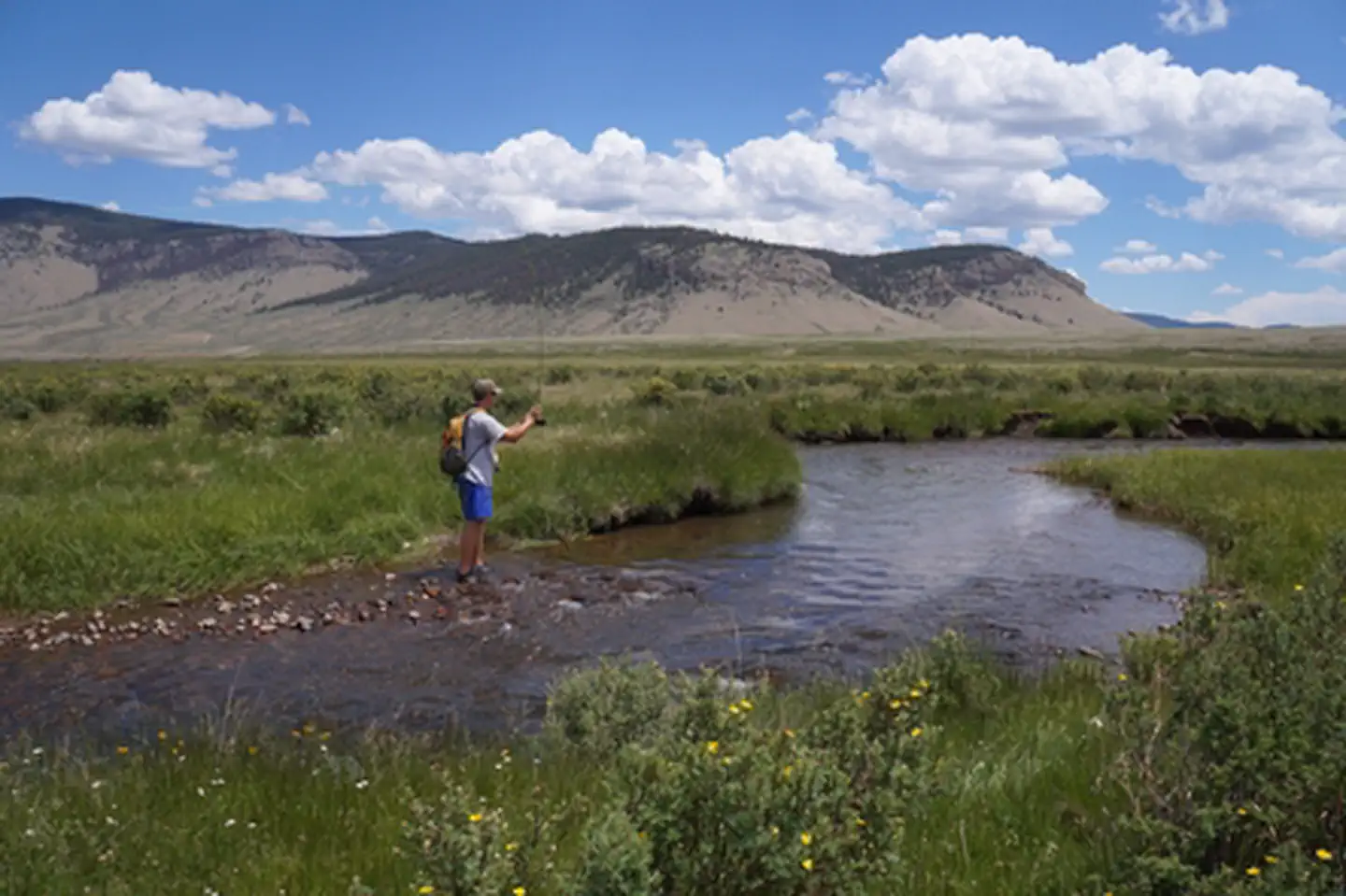
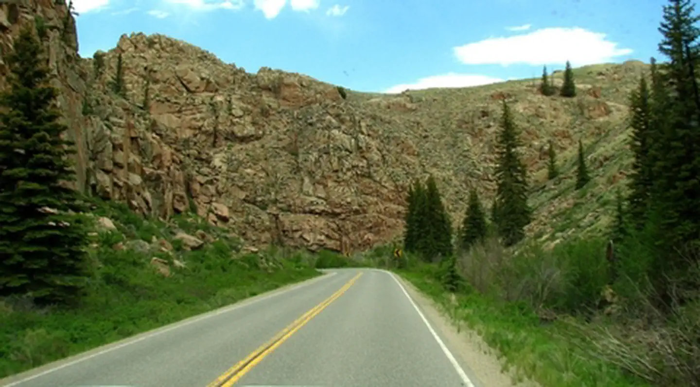
This scenic recreation area is a destination perfect for a day of fishing. The dense vegetation and steep canyon walls that line Cochetopa Creek provide a calm and relaxing place to fish with developed campsites and picnic areas located along the creek. Beautiful rock formations line Highway 114 and lead down to this little oasis located between Saguache and Gunnison. For more information, please contact the Gunnison Field Office.
Getting there
From the town of Gunnison, drive east on Highway 50. Turn south on highway 114. The recreation site is a 4 mile stretch along both sides of State Highway 114 near mile marker 113.
38.30625, -106.76442 · 38°18'22.5"N 106°45'51.9"W
Typical weather
Typically 80°F in Jul, down to 28°F in Jan.
| Jan | Feb | Mar | Apr | May | Jun | Jul | Aug | Sep | Oct | Nov | Dec | |
|---|---|---|---|---|---|---|---|---|---|---|---|---|
| High °F | 28 | 32 | 44 | 55 | 65 | 75 | 80 | 78 | 72 | 60 | 44 | 30 |
| Low °F | -4 | 2 | 14 | 22 | 29 | 36 | 44 | 42 | 33 | 22 | 11 | -1 |
| Precip in | 0.7 | 0.7 | 0.7 | 0.9 | 1.0 | 0.6 | 1.4 | 1.5 | 1.1 | 0.7 | 0.6 | 0.8 |
1991–2020 averages from the nearest NOAA station, 9.5 mi away — not measured at the facility itself, and elevation can make a real difference over that distance.
Map
Fees and stay limits
No Fee
Stay limit: 14 Day Stay Limit
From Recreation.gov, which is not always current. The operator's own page is the authority on what you will be charged.
More photos
Member photos
Common questions about Cochetopa Creek Rec Site
- Can you reserve a site at Cochetopa Creek Rec Site?
- No. Cochetopa Creek Rec Site is not reservable through Recreation.gov, so sites are first-come, first-served or booked elsewhere.
- How long can you stay at Cochetopa Creek Rec Site?
- 14 Day Stay Limit
Camping near Cochetopa Creek Rec Site
- Upper Crossing Guard Station 20.3 mi · Campground · we watch it
- Stone Cellar Guard Station 20.3 mi · Campground · we watch it
- Stevens Creek Campground 22.1 mi · Campground · we watch it
- Snowblind 24 mi · Campground · we watch it
- Almont 24.6 mi · Campground · we watch it
- Elk Creek Campground 24.9 mi · Campground · we watch it
- Needle Creek Reservoir Camping Area 11.6 mi · Campground
- Buffalo Pass Campground 15.8 mi · Campground
- Hartman Rocks Recreation Area 16.8 mi · Facility
- Agate Spur #484.2A 22.7 mi · Facility
- Snowblind Campground - Gunnison RD 24.1 mi · Campground
- Almont Campground - Gunnison RD 24.5 mi · Campground
Contact
- Phone (970) 642-4940
- Info Recreation.gov
Recreation.gov last updated this record on 2026-02-25.
Facility information and photographs from Recreation.gov (RIDB). SpotOpened is not affiliated with Recreation.gov or any federal agency.
Comments