Zapata Falls Day Use Area
Facility · Colorado ·
Managed by the Bureau of Land Management
Zapata Falls State Trust Lands (State Land Board Stewardship Trust Land) · Restricted Access
- 9,451 ft
- Elevation
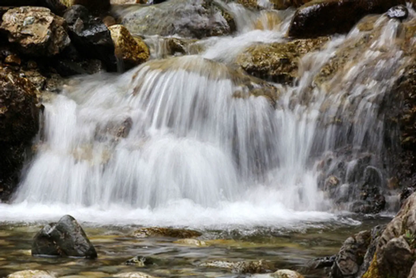
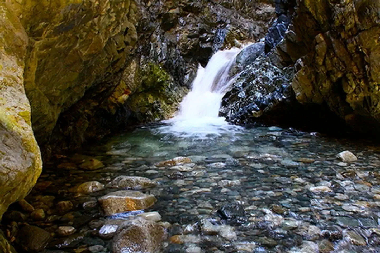
A short, yet slippery hike leads to the view of a 25-foot waterfall at Zapata Falls Recreation Area. During the summer months, the falls provide a cooling oasis, but during the winter months, the waterfall freezes into an enormous column of ice, perfect for the experienced ice climber. Travelers along Los Caminos Antiguos Scenic and Historic Byway can stop for an overnight stay at one of 24 campsites in Zapata Falls. For more information, please contact the San Luis Valley Field Office.
Getting there
From the community of Alamosa Colorado, drive east on Highway 160. At the intersection with Highway 150 turn north on Highway 150. Follow this road north to the Zapata falls Road (gravel), on the east (right side) of highway 150. Take this road to the Recreation Area (approximately 2 miles). The day use parking is on the left and the campground is on the right. The trail head to the falls is in the Day Use parking lot.
37.61889, -105.55307 · 37°37'8.0"N 105°33'11.0"W
Typical weather
| Jan | Feb | Mar | Apr | May | Jun | Jul | Aug | Sep | Oct | Nov | Dec | |
|---|---|---|---|---|---|---|---|---|---|---|---|---|
| High °F | — | — | — | — | — | — | — | — | — | — | — | — |
| Low °F | — | — | — | — | — | — | — | — | — | — | — | — |
| Precip in | 0.8 | 0.6 | 0.9 | 0.9 | 1.2 | 0.7 | 3.0 | 2.0 | 1.9 | 1.1 | 1.0 | 0.6 |
1991–2020 averages from the nearest NOAA station, 1.1 mi away — not measured at the facility itself, and elevation can make a real difference over that distance.
Map
Fees and stay limits
No Fee
Stay limit: Day Use Only
From Recreation.gov, which is not always current. The operator's own page is the authority on what you will be charged.
More photos
Member photos
Common questions about Zapata Falls Day Use Area
- Can you reserve a site at Zapata Falls Day Use Area?
- No. Zapata Falls Day Use Area is not reservable through Recreation.gov, so sites are first-come, first-served or booked elsewhere.
- How long can you stay at Zapata Falls Day Use Area?
- Day Use Only
Camping near Zapata Falls Day Use Area
- Zapata Falls Campground 2.4 mi · Campground · we watch it
- Pinon Flats Campground 9.1 mi · Campground · we watch it
- Duncan Cabin 17.9 mi · Campground · we watch it
- Bear Lake Campground (Co) 30.5 mi · Campground · we watch it
- Blue Lake Campground - San Isabel NF (CO) 31 mi · Campground · we watch it
- Alvarado Campground 31.8 mi · Campground · we watch it
- Entrance Station 7.6 mi · Visitor Center
- Medano Pass Primitive Road Campsites 13.1 mi · Campground
- Stone Cellar Guard Station Cabin 17.9 mi · Campground
- South Colony Basin 24.9 mi · Facility
- North Crestone Creek Campground 28.9 mi · Campground
- Blue Lake Campground 31.1 mi · Campground
Contact
- Phone 719-852-7074
- Info Recreation.gov
Recreation.gov last updated this record on 2026-02-25.
Facility information and photographs from Recreation.gov (RIDB). SpotOpened is not affiliated with Recreation.gov or any federal agency.
Comments