Cottonwood Site
Facility · Colorado ·
Managed by the Bureau of Land Management
Colorado River Segment 6 (Eligible - Recreational) · Open Access
- 6,244 ft
- Elevation
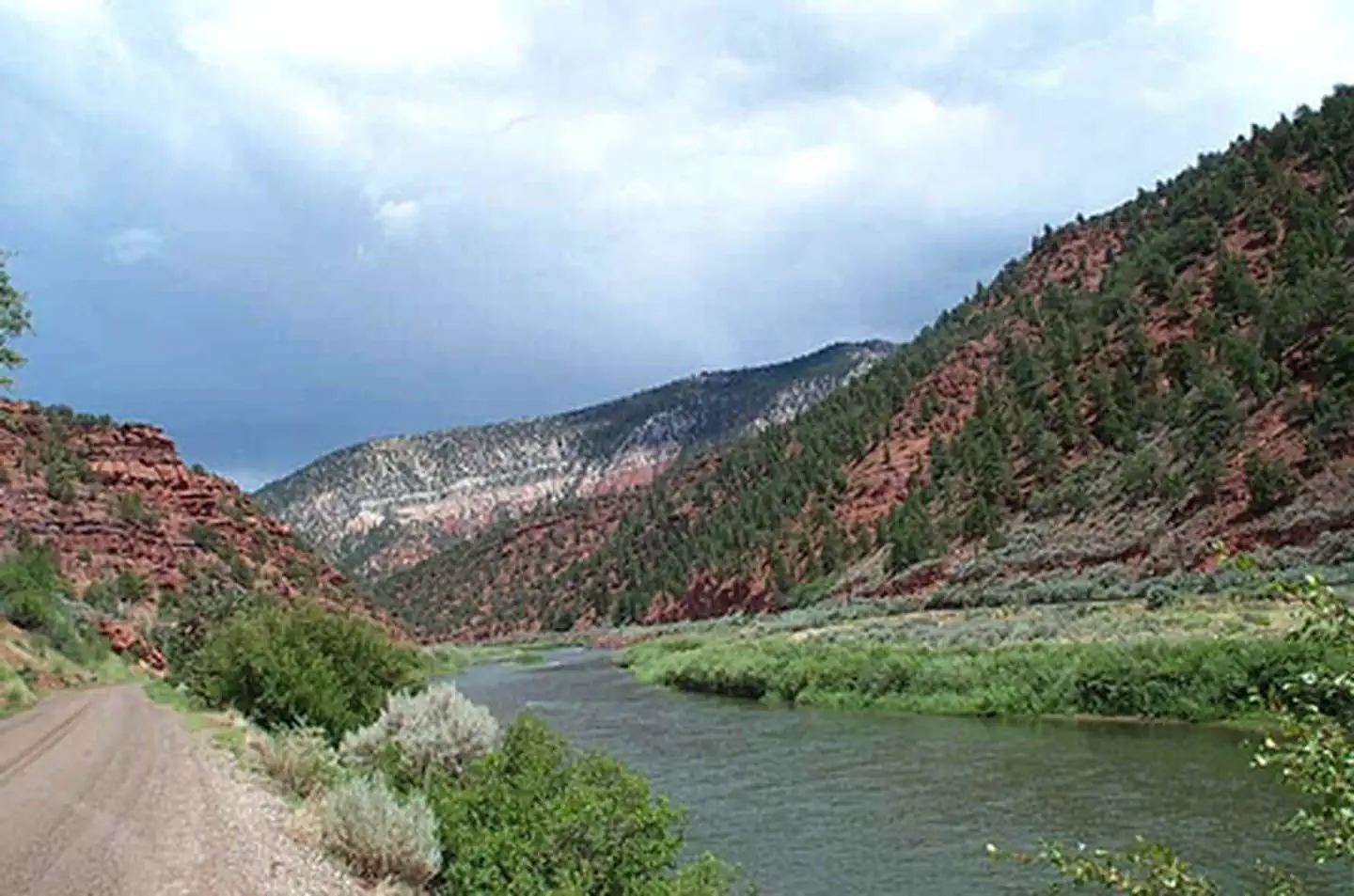
Cottonwood Island is located on the Colorado River and has a boat ramp and picnic site. Construction to improve site includes new vault toilet and loop road for boat ramp will be completed June 2018. Camping is allowed on the island but not at the parking area, picnic sites or the boat ramp. For more Information, please contact the Colorado River Field Office.
Getting there
Take the Dotsero exit off I-70 (exit 133). Head north on the Colorado River Road for 5.9 miles to the Cottonwood Recreation Site, which is on the right.
39.71257, -107.04476 · 39°42'45.2"N 107°2'41.1"W
Typical weather
Typically 89°F in Jul, down to 36°F in Jan.
| Jan | Feb | Mar | Apr | May | Jun | Jul | Aug | Sep | Oct | Nov | Dec | |
|---|---|---|---|---|---|---|---|---|---|---|---|---|
| High °F | 36 | 43 | 53 | 62 | 71 | 83 | 89 | 87 | 79 | 65 | 49 | 36 |
| Low °F | 15 | 20 | 28 | 35 | 44 | 51 | 59 | 58 | 50 | 38 | 27 | 16 |
| Precip in | 1.7 | 1.6 | 1.3 | 2.3 | 2.1 | 1.0 | 1.0 | 1.5 | 2.2 | 2.1 | 1.7 | 1.5 |
1991–2020 averages from the nearest NOAA station, 13.8 mi away — not measured at the facility itself, and elevation can make a real difference over that distance.
Map
Fees and stay limits
No Fee
From Recreation.gov, which is not always current. The operator's own page is the authority on what you will be charged.
More photos
Member photos
Common questions about Cottonwood Site
- Can you reserve a site at Cottonwood Site?
- No. Cottonwood Site is not reservable through Recreation.gov, so sites are first-come, first-served or booked elsewhere.
Camping near Cottonwood Site
- Lyons Gulch Boat Launch 1.8 mi · Facility
- Deep Creek Day Use Area 3.5 mi · Facility
- Dotsero Crater Rec Site 3.8 mi · Facility
- Horse Pasture Site 5.1 mi · Facility
- Gypsum Campground 5.4 mi · Campground
- Sweetwater Lake Campground 8.5 mi · Campground
- Ute - Sweetwater #2032 8.6 mi · Facility
- Cross Creek #1855 8.7 mi · Facility
- SE Flat Tops Area 9.7 mi · Facility
- Sweetwater #1854 10.3 mi · Facility
- Pinball Access Boat Launch 10.5 mi · Facility
- Turret Creek #1832 10.5 mi · Facility
Contact
- Phone (970) 876-9000
- Email BLM_CO_SI_CRVFO_Webmail@blm.gov
- Info Recreation.gov
Recreation.gov last updated this record on 2026-02-25.
Facility information and photographs from Recreation.gov (RIDB). SpotOpened is not affiliated with Recreation.gov or any federal agency.
Comments