Caddis Flats
Facility · Colorado ·
Managed by the Bureau of Land Management
Uncompahgre National Forest (NF) · Open Access
- 7,888 ft
- Elevation
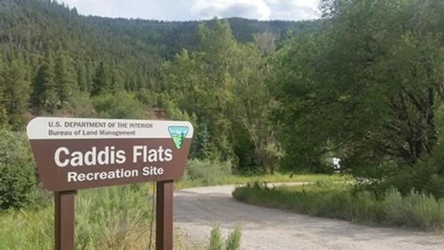
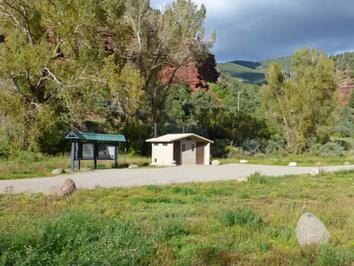
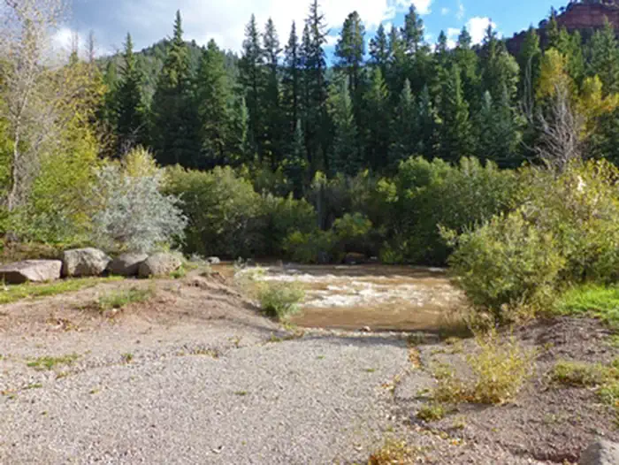
This campground and boat launch is located between the Unaweep/Tabeguache Scenic and Historic Byway (CO145) and the San Miguel River. The canyon in this area makes the transition from forest to high desert and is quite scenic. The campground has three developed campsites, one with a cabana. Four parking areas will accommodate large RVs and boat trailer parking. There is a toilet but no drinking water. There is a hand-carry boat launch. For more information, please contact the Uncompahgre Field Office.
Getting there
From Placerville (Jct. CO 145 & CO 62), go west on CO 145 1.8 miles. Entrance is on the left (south). From Norwood, go east on CO 145 about 16.5 miles. Entrance is on the right (south).
38.02767, -108.38077 · 38°1'39.6"N 108°22'50.8"W
Typical weather
Typically 85°F in Jul, down to 39°F in Jan.
| Jan | Feb | Mar | Apr | May | Jun | Jul | Aug | Sep | Oct | Nov | Dec | |
|---|---|---|---|---|---|---|---|---|---|---|---|---|
| High °F | 39 | 43 | 52 | 59 | 69 | 81 | 85 | 82 | 75 | 62 | 50 | 39 |
| Low °F | 13 | 18 | 25 | 31 | 38 | 46 | 53 | 51 | 44 | 34 | 23 | 14 |
| Precip in | 0.9 | 0.7 | 1.0 | 1.1 | 1.2 | 0.7 | 2.0 | 2.2 | 2.0 | 1.5 | 1.3 | 1.2 |
1991–2020 averages from the nearest NOAA station, 8.8 mi away — not measured at the facility itself, and elevation can make a real difference over that distance.
Map
Fees and stay limits
No Fee
From Recreation.gov, which is not always current. The operator's own page is the authority on what you will be charged.
More photos
Member photos
Common questions about Caddis Flats
- Can you reserve a site at Caddis Flats?
- No. Caddis Flats is not reservable through Recreation.gov, so sites are first-come, first-served or booked elsewhere.
Camping near Caddis Flats
- Lone Cone Cabin 15.3 mi · Campground · we watch it
- Woods Lake 20.3 mi · Campground · we watch it
- Burro Bridge 23.8 mi · Campground · we watch it
- Silesca Cabin 25.2 mi · Campground · we watch it
- West Dolores Campground 26.1 mi · Campground · we watch it
- Lower Beaver Rec. Site 11.9 mi · Facility
- Upper Beaver Creek Recreation Site 11.9 mi · Facility
- Ledges Rockhouse Area 14.3 mi · Facility
- Specie Creek Boat Launch 14.7 mi · Facility
- Ledges Cottonwood Area 15.2 mi · Facility
- Iron Springs Campground - Ouray RD 23.2 mi · Campground
- Silesca Guard Station 25.2 mi · Campground
Contact
- Phone 970-240-5300
- Info Recreation.gov
Recreation.gov last updated this record on 2026-02-25.
Facility information and photographs from Recreation.gov (RIDB). SpotOpened is not affiliated with Recreation.gov or any federal agency.
Comments