Curecanti National Recreation Area Tours
Tickets · Colorado ·
Managed by the National Park Service
Gunnison Field Office (Bureau of Land Management CO) · Open Access
- 7,783 ft
- Elevation
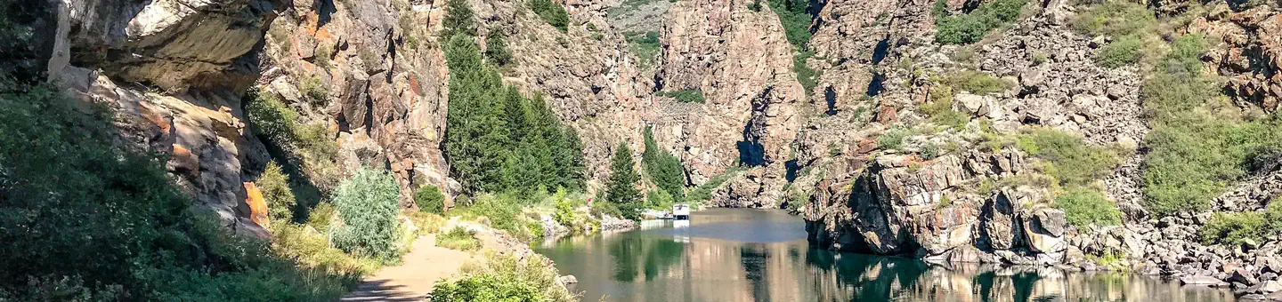
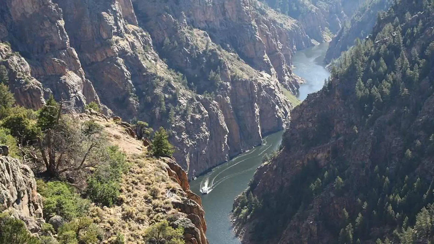
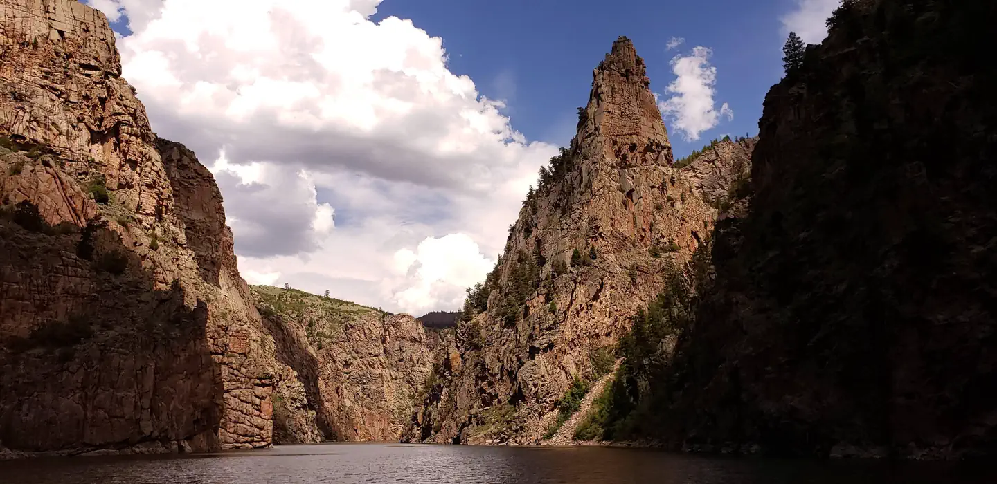
Explore the Black Canyon of the Gunnison with a park ranger on the famous Morrow Point boat tour. Discover a seldom seen waterfall and ancient canyon walls, and learn about the local landscape, resources, history, geology, wildlife and more.
The hour and a half long interpretive boat tours depart at 10 am and 1 pm daily (except Tuesday). Tours typically run from mid-June to early September, but the seasons vary depending on water conditions.
Getting there
Park at the Pinecreek trailhead no later than an hour before your boat departs!
From Montrose (one hour and fifteen minute drive) - Take Highway 50 east towards Gunnison. At mile marker 130 take a left. There is a sign here for "Pine Creek."
From Gunnison (45 minute drive) - Take Highway 50 west towards Montrose. At mile marker 130 take a right. There is a sign here for "Pine Creek."
Go down the road for a mile. Along the way the pavement turns to gravel. The road ends at the Pine Creek trailhead and parking area. The hike begins here, see directions in "need to know" section.
For oversized vehicles, see directions in "need to know" section.
38.44583, -107.34183 · 38°26'45.0"N 107°20'30.6"W
Typical weather
Typically 83°F in Jul, down to 26°F in Jan.
| Jan | Feb | Mar | Apr | May | Jun | Jul | Aug | Sep | Oct | Nov | Dec | |
|---|---|---|---|---|---|---|---|---|---|---|---|---|
| High °F | 26 | 31 | 44 | 56 | 66 | 77 | 83 | 80 | 73 | 60 | 44 | 29 |
| Low °F | -1 | 3 | 15 | 24 | 32 | 39 | 46 | 45 | 37 | 27 | 16 | 3 |
| Precip in | 0.7 | 0.7 | 0.5 | 0.6 | 0.7 | 0.4 | 0.9 | 1.1 | 1.0 | 0.9 | 0.5 | 0.8 |
1991–2020 averages from the nearest NOAA station, 9.5 mi away — not measured at the facility itself, and elevation can make a real difference over that distance.
Map
More photos
Member photos
Common questions about Curecanti National Recreation Area Tours
- Can you reserve a site at Curecanti National Recreation Area Tours?
- Yes, Curecanti National Recreation Area Tours is reservable through Recreation.gov.
Camping near Curecanti National Recreation Area Tours
- Lake Fork Campground 1.1 mi · Campground · we watch it
- Ponderosa Campground (CO) 5.7 mi · Campground · we watch it
- Red Creek Group Site 6.1 mi · Campground · we watch it
- Soap Creek 7.2 mi · Campground · we watch it
- Elk Creek Campground 9.1 mi · Campground · we watch it
- East Elk Creek Group Campsite 9.6 mi · Campground · we watch it
- Cimarron Campground (CO) 11.6 mi · Campground · we watch it
- Stevens Creek Campground 13.6 mi · Campground · we watch it
- Gateview Campground 6.8 mi · Facility
- Dry Gulch Campground 8.7 mi · Facility
- Red Bridge Campground 10.6 mi · Campground
- Cimarron Campground 11.6 mi · Campground
Contact
- Phone 970-641-2337 X205
- Email cure_info@nps.gov
- Book Recreation.gov
Recreation.gov last updated this record on 2026-02-25.
Facility information and photographs from Recreation.gov (RIDB). SpotOpened is not affiliated with Recreation.gov or any federal agency.
Comments