Bogan Flats Campground and Group
Campground · Colorado · 36 bookable sites ·
Managed by the USDA Forest Service
White River National Forest (NF) · Open Access
- 36
- Bookable sites
- 80 ft
- Max rig length
- up to 50
- People per site
- 7,564 ft
- Elevation
Overview
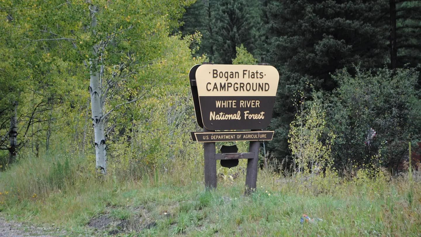
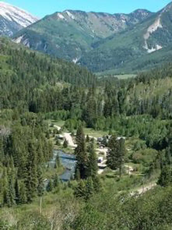
Bogan Flats Campground stretches along the Crystal River in a valley of aspen groves, towering Ponderosa Pine, spruce, and willow. The setting is ideal for larger groups seeking recreation and relaxation in White River National Forest.Sites in the campground are widely spaced and offer a nice mixture of open and shaded spots, with several sites at the river's edge. The group site is located away from the main campground, offering a more private location.
Recreation
Crystal River, a tributary of Roaring Fork River, is renowned for its fly fishing. Rainbow, cutthroat and brown trout are plentiful in this waterway.A hike up Mt. Sopris offers spectacular panoramic views. This 12,953-foot mountain dominates the surrounding landscape. The hike is 14.8 miles with a 4,600-foot. elevation gain. In summer, wildflowers carpet the trail through aspen groves and mixed conifer forest, climbing up to talus slopes.
Other popular activities in the area include jeep tours, biking, and historic sightseeing.
Facilities
Bogan Flats Group site has one site available for reservation. There is no electric hook ups and no water is available at the group site. Group Site users must go to the main Bogan Flats Campground to fill containers.
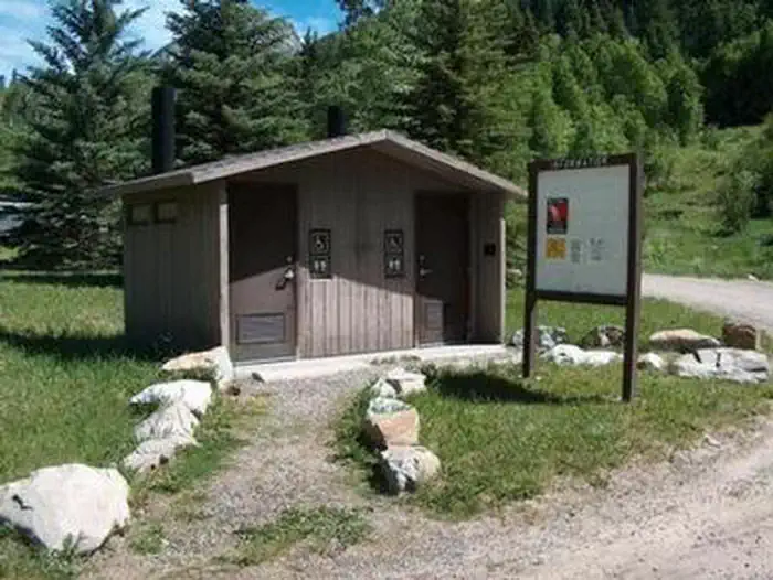
Group site facilities include: hardened parking for approximately 10 campers/RV's depending on the size. This gravel area must accommodate passenger vehicles as well. The site has 3 regular fire rings, and 1 group size fire ring. 1 pedestal grill, 5 food lockers, 8 picnic tables, a double vault toilet, and a horseshoe pit.
Natural Features
In the heart of the Rocky Mountains, the 2.3 million acre White River National Forest is a place of serenity and adventure, boasting 8 wilderness areas, 4 defined seasons, and 10 peaks surpassing 14,000 feet in elevation.The Crystal River flows near the campground and drains the Valley of the Coal Miners, a glacial valley that was once a center of coal mining in southwestern Colorado.
Wildlife in the area abounds. Bighorn sheep navigate rocky ridges and bull elk bugle at dusk. Scenic rivers sustain populations of cutthroat, rainbow, and brown trout. Alpine regions provide habitat for pika and ptarmigan. These species, along with many others, depend on surrounding undeveloped wilderness, clean streams, and diverse forests to live.
Nearby Attractions
The quaint mountain town of Redstone is a hidden gem, located south of Carbondale. In addition to shops, galleries, and restaurants, the town boasts a castle that was built by industrialist John Osgood at the turn of the 20th century.Contact Info
For facility specific information, please call (801) 226-3564.Charges & Cancellations
Once your reservation start date has begun, neither the Recreation.gov Contact Center nor the campground manager will be able to modify your reservation.
The facts
- 36 bookable sites
- 37 sites in total, including non-bookable
- Vehicles up to 80 ft
- Up to 50 people per site
- Loops: BOGA, GRP
Site types
- 32 Standard Nonelectric
- 3 RV Nonelectric
- 1 Group Standard Nonelectric
- 1 Management
Amenities
- Campfires allowed
- Shade
- Pets allowed
Not recorded upstream: electric hookups, water hookups, sewer hookups, fire pits, picnic tables, grills.
37 campsites at Bogan Flats Campground and Group
| Site | Loop | Type | Entry | Surface | Max rig | People | |
|---|---|---|---|---|---|---|---|
| 002 | BOGA | Standard Nonelectric | Back In | Gravel | 45 ft | 10 | 🐾 |
| 003 | BOGA | Standard Nonelectric | Back In | Gravel | 45 ft | 10 | 🐾 |
| 004 | BOGA | Standard Nonelectric | Back In | Gravel | 25 ft | 10 | 🐾 |
| 005 | BOGA | Standard Nonelectric | Back In | Gravel | 35 ft | 10 | 🐾 |
| 006 | BOGA | Rv Nonelectric | Pull Through | Gravel | 50 ft | 10 | 🐾 |
| 007 | BOGA | Standard Nonelectric | Back In | Gravel | 50 ft | 10 | 🐾 |
| 008 | BOGA | Standard Nonelectric | Back In | Gravel | 35 ft | 10 | 🐾 |
| 009 | BOGA | Standard Nonelectric | Back In | Gravel | 30 ft | 10 | 🐾 |
| 010 | BOGA | Standard Nonelectric | Back In | Gravel | 20 ft | 10 | 🐾 |
| 011 | BOGA | Standard Nonelectric | Back In | Gravel | 20 ft | 10 | 🐾 |
| 012 | BOGA | Standard Nonelectric | Back In | Gravel | 35 ft | 10 | 🐾 |
| 013 | BOGA | Standard Nonelectric | Back In | Gravel | 40 ft | 10 | 🐾 |
| 014 | BOGA | Standard Nonelectric | Back In | Gravel | 35 ft | 10 | 🐾 |
| 015 | BOGA | Standard Nonelectric | Back In | Gravel | 80 ft | 10 | 🐾 |
| 016 | BOGA | Rv Nonelectric | Back In | Gravel | 55 ft | 10 | 🐾 |
| 017 | BOGA | Standard Nonelectric | Back In | Gravel | 40 ft | 10 | 🐾 |
| 018 | BOGA | Standard Nonelectric | Back In | Gravel | 25 ft | 10 | 🐾 |
| 019 | BOGA | Standard Nonelectric | Pull Through | Gravel | 55 ft | 10 | 🐾 |
| 020 | BOGA | Standard Nonelectric | Back In | Gravel | 40 ft | 10 | 🐾 |
| 021 | BOGA | Rv Nonelectric | Pull Through | Gravel | 46 ft | 10 | 🐾 |
| 022 | BOGA | Standard Nonelectric | Back In | Gravel | 40 ft | 10 | 🐾 |
| 023 | BOGA | Standard Nonelectric | Back In | Gravel | 40 ft | 10 | 🐾 |
| 024 | BOGA | Standard Nonelectric | Pull Through | Gravel | 31 ft | 10 | 🐾 |
| 025 | BOGA | Standard Nonelectric | Pull Through | Gravel | 55 ft | 10 | 🐾 |
| 026 | BOGA | Standard Nonelectric | Back In | Gravel | 32 ft | 10 | 🐾 |
| 027 | BOGA | Standard Nonelectric | Back In | Gravel | 40 ft | 10 | 🐾 |
| 028 | BOGA | Standard Nonelectric | Back In | Gravel | 44 ft | 10 | 🐾 |
| 029 | BOGA | Standard Nonelectric | Pull Through | Gravel | 45 ft | 10 | 🐾 |
| 030 | BOGA | Standard Nonelectric | Back In | Gravel | 30 ft | 10 | 🐾 |
| 031 | BOGA | Standard Nonelectric | Pull Through | Gravel | 55 ft | 10 | 🐾 |
| 032 | BOGA | Management | Back In | Gravel | 40 ft | 10 | 🐾 |
| 033 | BOGA | Standard Nonelectric | Back In | Gravel | 40 ft | 10 | 🐾 |
| 034 | BOGA | Standard Nonelectric | Back In | Gravel | 45 ft | 10 | 🐾 |
| 035 | BOGA | Standard Nonelectric | Back In | Gravel | 40 ft | 10 | 🐾 |
| 036 | BOGA | Standard Nonelectric | Back In | Gravel | 40 ft | 10 | 🐾 |
| 037 | BOGA | Standard Nonelectric | Back In | Gravel | 45 ft | 10 | 🐾 |
| 001 | GRP | Group Standard Nonelectric | Back In | Gravel | 30 ft | 50 | 🐾 |
Getting there
39.09972, -107.25833 · 39°5'59.0"N 107°15'30.0"W
Typical weather
| Jan | Feb | Mar | Apr | May | Jun | Jul | Aug | Sep | Oct | Nov | Dec | |
|---|---|---|---|---|---|---|---|---|---|---|---|---|
| High °F | — | — | — | — | — | — | — | — | — | — | — | — |
| Low °F | — | — | — | — | — | — | — | — | — | — | — | — |
| Precip in | 3.4 | 3.5 | 3.3 | 3.1 | 2.5 | 1.2 | 1.9 | 2.3 | 2.5 | 2.9 | 3.0 | 3.3 |
1991–2020 averages from the nearest NOAA station, 2.7 mi away — not measured at the facility itself, and elevation can make a real difference over that distance.
Map
More photos
Member photos
Common questions about Bogan Flats Campground and Group
- Can you reserve a site at Bogan Flats Campground and Group?
- Yes, Bogan Flats Campground and Group is reservable through Recreation.gov.
- How many campsites does Bogan Flats Campground and Group have?
- 37 sites in total, of which 36 can be booked.
- What is the maximum RV length at Bogan Flats Campground and Group?
- 80 ft. That is the longest vehicle the sites here are recorded as taking; individual sites may be shorter.
- Are pets allowed at Bogan Flats Campground and Group?
- Yes, pets are allowed at Bogan Flats Campground and Group.
- Are campfires allowed at Bogan Flats Campground and Group?
- Campfires are allowed at Bogan Flats Campground and Group. Check for a current fire restriction before you go.
Also listed by
Bogan Flats Campground and Group also appears in other federal recreation data. Facts below are matched by name and location, not confirmed by Bogan Flats Campground and Group's operator.
USDA Forest Service — data as of Aug 24, 2026
Restrictions:
- 40-foot maximum RV length
Camping near Bogan Flats Campground and Group
- Redstone 6.7 mi · Campground · we watch it
- Lily Lake #1964 0.9 mi · Facility
- Placita #1966 2.8 mi · Facility
- McClure Campground - Paonia RD 3.4 mi · Campground
- Carbonate Creek #1971 4.4 mi · Facility
- Raspberry Creek #1968 4.5 mi · Facility
- East Creek-Gift Creek #1963 5.7 mi · Facility
- Anthracite Pass #1969 6.2 mi · Facility
- North Lost #1967 6.2 mi · Facility
- Braderich Creek #1952 6.5 mi · Facility
- Silver Creek #1959 8.4 mi · Facility
- North Fork #1974 9.4 mi · Facility
Contact
- Phone 970-927-0107
- Email Help.WhiteRiver.Sopris@AmericanLL.com
- Book Recreation.gov
Recreation.gov last updated this record on 2026-07-07.
Facility information and photographs from Recreation.gov (RIDB). SpotOpened is not affiliated with Recreation.gov or any federal agency.
Comments