Mesa Verde National Park
Tickets · Colorado ·
Managed by the National Park Service
Mesa Verde National Park (National Park) · Open Access
- 7,152 ft
- Elevation
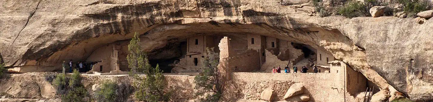
Overview:
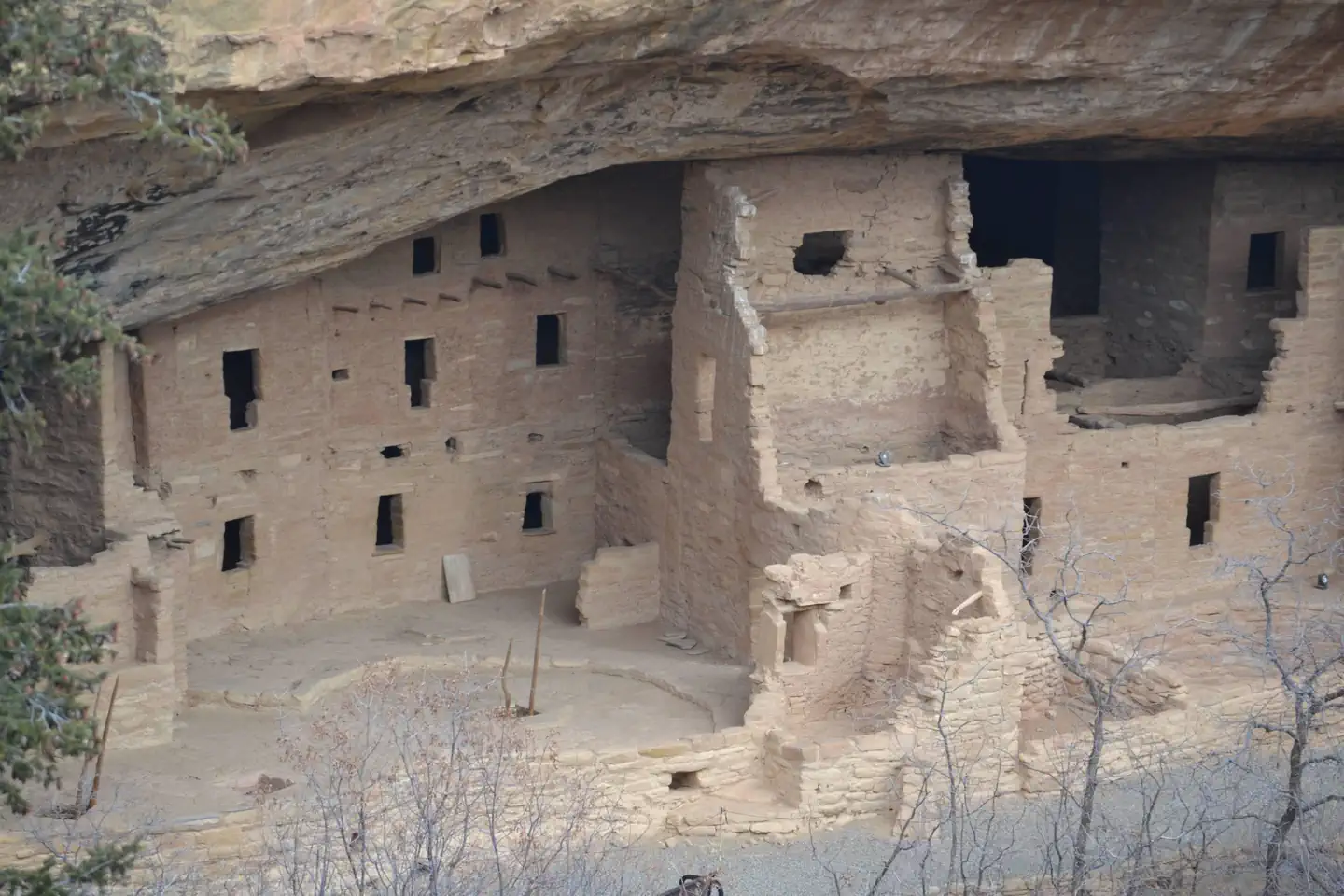
Mesa Verde, Spanish for green table, offers a spectacular look into the lives of the Ancestral Pueblo people who made it their home for over 700 years, from A.D. 600 to A.D. 1300. Today, the park protects over 4,000 known archaeological sites, including 600 cliff dwellings. These sites are some of the most notable and best preserved in the United States.Road work is expected during the spring and summer. Plan extra travel time within the park.
Natural Features:
testGetting there
The nearest airports are Cortez, Colorado, Durango, Colorado, and Farmington, New Mexico.
Car
Mesa Verde National Park is located 10 miles east of Cortez, Colorado and 7 miles west of Mancos, Colorado, on US Highway 160. Although the park entrance is adjacent to US Highway 160, allow 45 minutes to drive from the park entrance to the tour sites.
Public Transportation
There is no public transportation to Mesa Verde National Park. The closest bus station is in Durango, Colorado, 35 miles west.
Getting Around
A vehicle is needed to see Mesa Verde.
The first view of a cliff dwelling is 21 miles (approximately 45 minutes) past the entrance station along a steep, narrow, winding road. Non campers must leave all towed vehicles at the trailer overflow lot near the park entrance. Vehicles on Wetherill Mesa are restricted to less than 8,000 pounds and 25-feet in length.
37.20000, -108.49000 · 37°12'0.0"N 108°29'24.0"W
Typical weather
Typically 86°F in Jul, down to 40°F in Jan.
| Jan | Feb | Mar | Apr | May | Jun | Jul | Aug | Sep | Oct | Nov | Dec | |
|---|---|---|---|---|---|---|---|---|---|---|---|---|
| High °F | 40 | 43 | 51 | 59 | 69 | 81 | 86 | 84 | 76 | 63 | 50 | 40 |
| Low °F | 20 | 23 | 30 | 34 | 43 | 52 | 59 | 57 | 50 | 39 | 29 | 20 |
| Precip in | 2.0 | 1.7 | 1.4 | 1.1 | 1.1 | 0.5 | 1.4 | 2.0 | 1.8 | 1.4 | 1.2 | 1.5 |
1991–2020 averages from the nearest NOAA station, 0 mi away — not measured at the facility itself, and elevation can make a real difference over that distance.
Map
More photos
Member photos
Common questions about Mesa Verde National Park
- Can you reserve a site at Mesa Verde National Park?
- Yes, Mesa Verde National Park is reservable through Recreation.gov.
Camping near Mesa Verde National Park
- Target Tree Campground 19.3 mi · Campground · we watch it
- McPhee Recreation Complex 21 mi · Campground · we watch it
- House Creek 22.2 mi · Campground · we watch it
- Transfer Campground 24 mi · Campground · we watch it
- Aspen Guard Station 25.1 mi · Campground · we watch it
- Mesa Verde Museum 1.1 mi · Visitor Center
- Morefield Campground 8.1 mi · Campground
- Mesa Verde Visitor and Research Center 10.4 mi · Facility
- Phil's World 11.1 mi · Facility
- Mud Springs RMZ 11.9 mi · Facility
- Canyons of the Ancients National Monument - Visitor Center and Museum 19.3 mi · Facility
- House Creek Boating Site 22.2 mi · Facility
Contact
- Phone 970-529-4465
- Email MEVE_general_information@nps.gov
- Book Recreation.gov
Recreation.gov last updated this record on 2026-02-25.
Facility information and photographs from Recreation.gov (RIDB). SpotOpened is not affiliated with Recreation.gov or any federal agency.
Comments