Utah campgrounds and permits
643 facilities, 316 of which we can watch for cancellations.
- 13th Hole TrailheadFacility · not watchable
Thunderbird Canyons Trail System: 12+ miles Recommended uses: mountain biking, hiking, and trail running Difficulty: beginner 13th Hole Trailhead is just east…
- 9 Mile CanyonFacility · not watchable
Often described as 'the world's longest art gallery' the 46 mile long Nine Mile Canyon provides visitors with myriad recreational opportunities, ranging from…
- Adams TrailFacility · not watchable
Recommended Users: Equestrians, Hikers. Singletrack trail. 0.16 miles. Difficulty: Easy/Easiest.
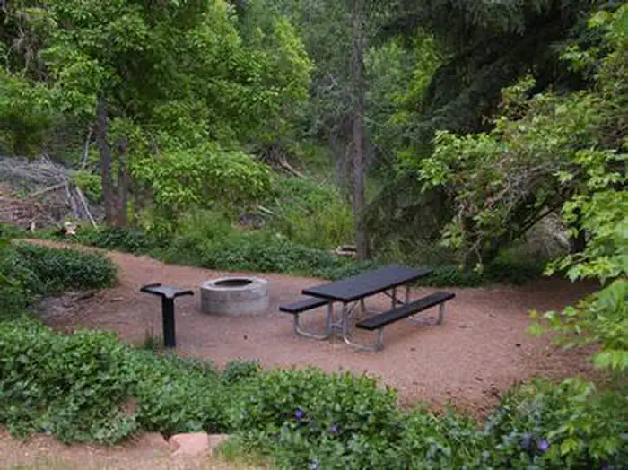 Adelaide CampgroundCampground · 9 sites
Overview Adelaide Campground is located in Corn Creek Canyon on the south end of the Pahvant Mountain Range near Kanosh, Utah.
- Adit TrailFacility · not watchable
Recommended Users: Mountain Bikers, Hikers, Equestrians. Two-track trail. 0.23 miles in length. Difficulty: Easy/Easiest.
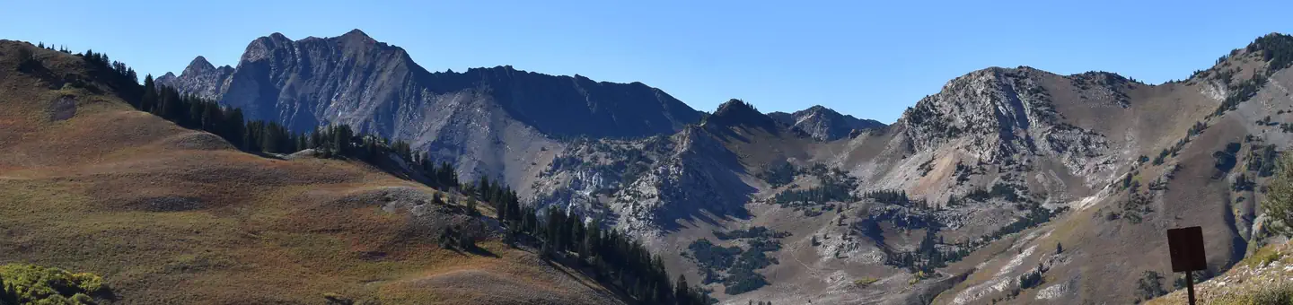 Albion BasinCampground · 26 sites
Overview Albion Basin Campground, just 15 miles from Sandy, Utah, is set among shady white pines and aspens in its beautiful namesake basin in Little…
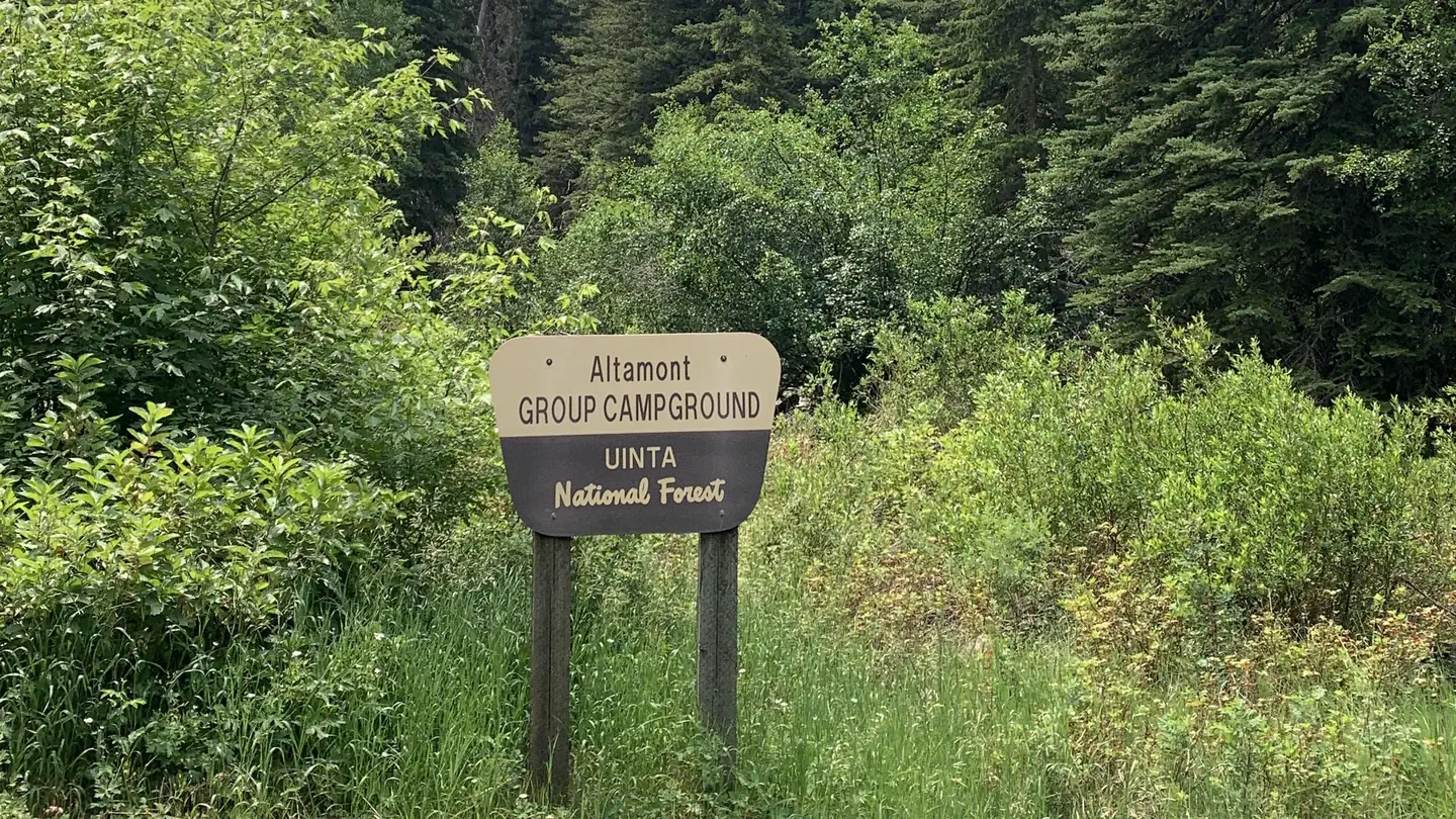 AltamontCampground · 1 sites
Overview Altamont Campground is located along the beautiful Alpine Loop Scenic Byway high in the Wasatch Mountains.
- Amphitheatre Loop TrailheadFacility · not watchable
Length of Hike: This is a 3 mile long foray into the heart of the Richardson Amphitheater. Type of Hike: The trail is constructed and marked with cairns.
- Anasazi TrailFacility · not watchable
Recommended Users: Mountain Bikers, Hikers, Equestrians. Singletrack trail. 0.5 miles in length. Difficulty: Easy/Easiest.
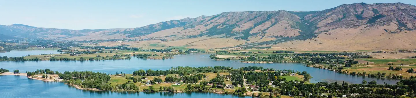 Anderson Cove (Uinta-Wasatch-Cache National Forest, UT)Campground · 117 sites
Overview Anderson Cove Campground is a popular facility located 10 miles east of Ogden, Utah, on the banks of Pineview Reservoir in scenic Ogden Valley.
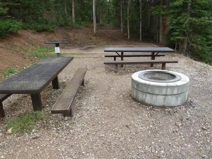 Anderson Meadow Campground (Fishlake NF, UT)Campground · 9 sites
Overview Anderson Meadow Campground is nestled above Anderson Meadow Reservoir in the Fishlake National Forest.
- Angel Point East TrailheadFacility · not watchable
From the parking area the trail system descends into the canyon bottom, providing access into the many scenic side canyons of the Dirty Devil River, such as…
- Angel Point West TrailheadFacility · not watchable
From the parking area the trail system descends into the canyon bottom, providing access into the many scenic side canyons of the Dirty Devil River, such as…
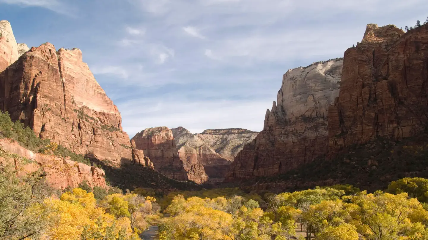
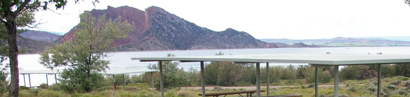 Antelope Flat (Ashley National Forest, UT)Campground · 50 sites
Overview Antelope Flat Campground lies on the shores of the beautiful Flaming Gorge Reservoir at an elevation of 6,000 feet, on the Ashley National Forest…
- Antelope Springs CCC CampFacility · not watchable
Antelope Springs was a former Civilian Conservation Corps camp site that was used as a recreational facility by inmates at the Topaz, Utah camp.
- Anticline OverlookFacility · not watchable
The Anticline Overlook is named for the curved, uplifted Kane Creek Anticline visible across the Colorado River to the north.
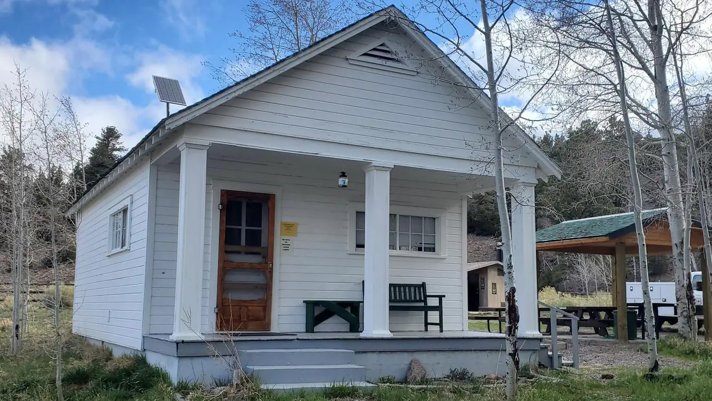 Aquarius Ranger StationCampground · 1 sites
Overview Aquarius Ranger Station is located about 15 miles south of Loa, in eastern Utah.
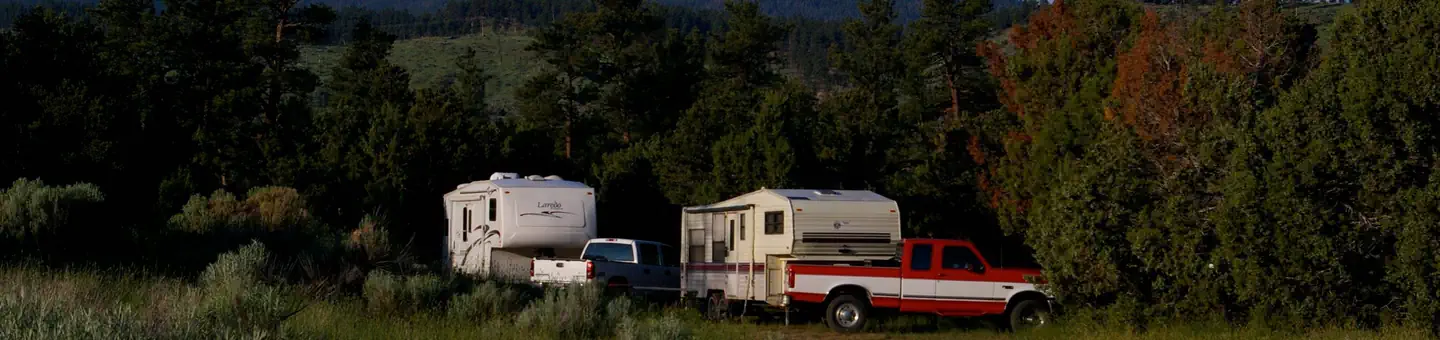 Arch Dam CampgroundCampground · 3 sites
Overview Arch Dam Campground is a popular location for family reunions, church outings and other large gatherings.
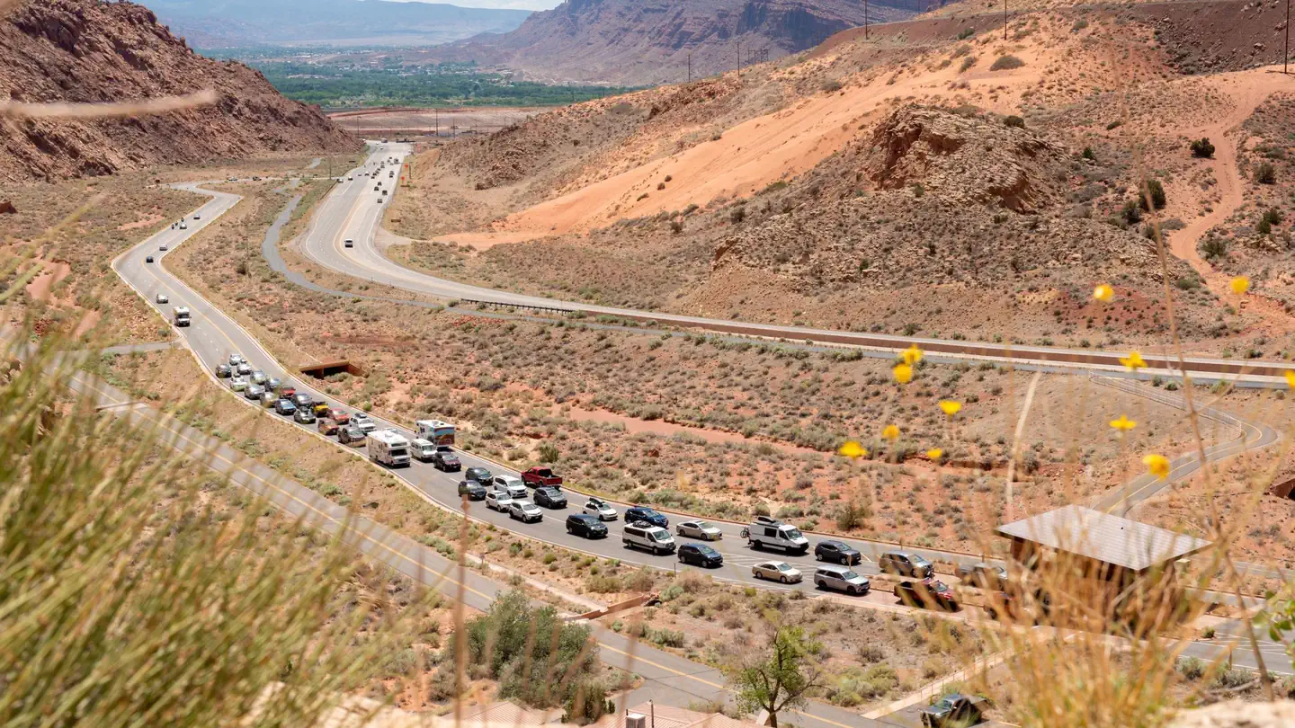 Arches National Park Timed EntryTimed entry
Arches National Park is in the heart of canyon country in southeastern Utah and is considered one of America’s scenic wonders.
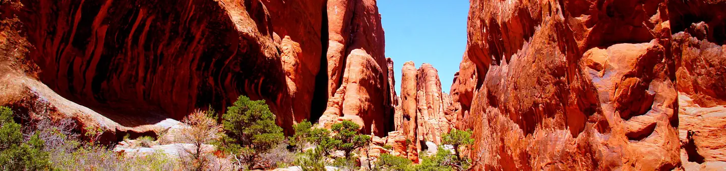 Arches National Park ToursTickets
The Fiery Furnace, in beautiful Arches National Park, offers a labyrinth of narrow passageways and abrupt dead-ends among a series of sandstone fins.
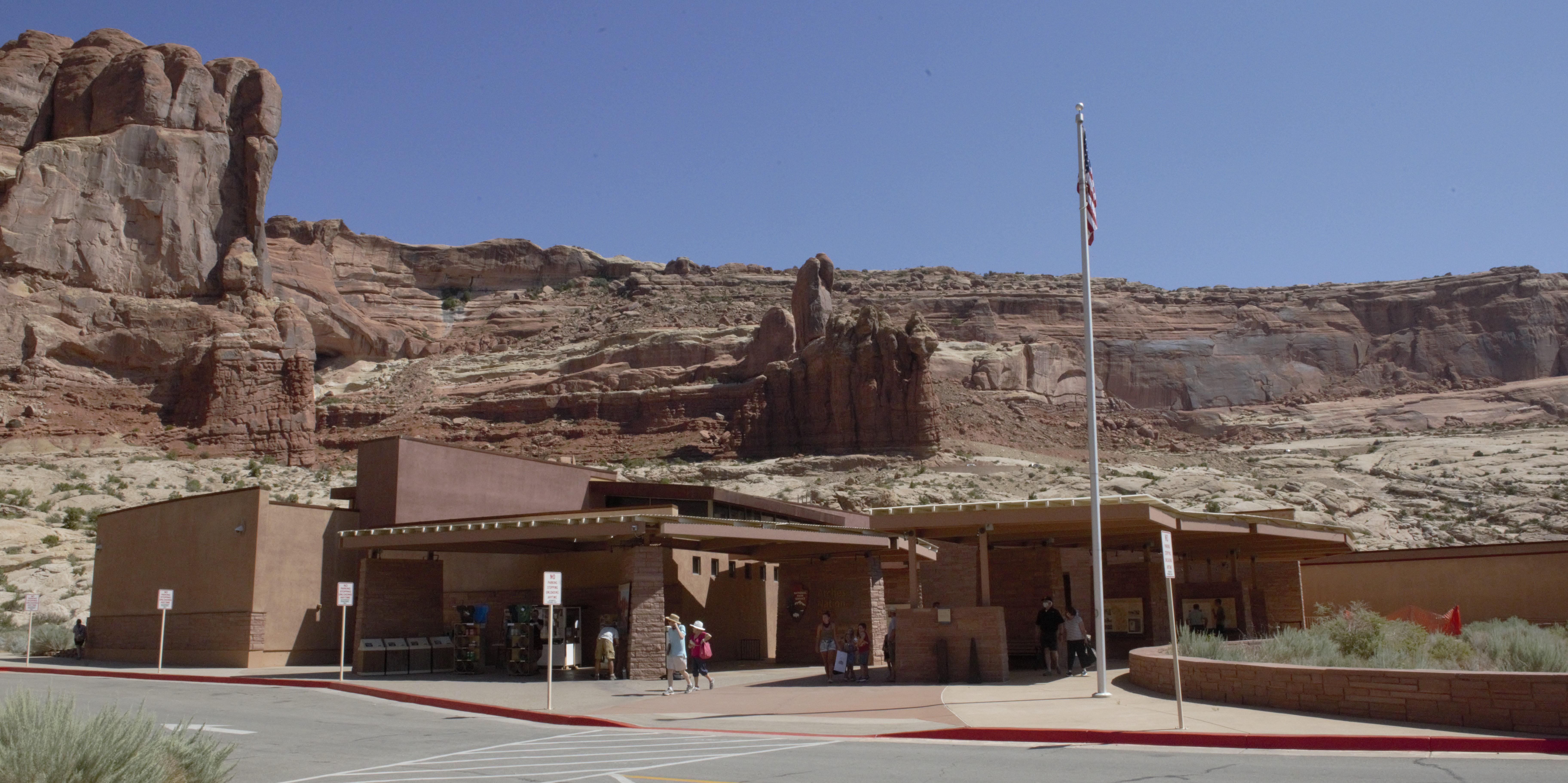 Arches Visitor CenterFacility · not watchable
The visitor center is generally open every day except December 25. Hours vary by season. You can learn about the park from exhibits and a bookstore.
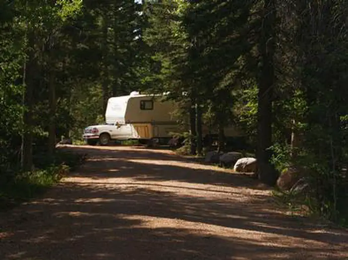 Aspen (Ut)Campground · 30 sites
Overview Aspen Campground is nestled in the scenic North Fork Drainage just off Highway 35, about 13 miles from Tabiona, Utah.
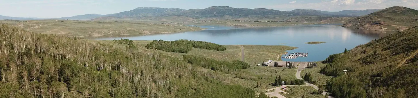 Aspen Grove (Uinta-Wasatch-Cache National Forest, UT)Campground · 53 sites
Overview Aspen Grove Campground is located near Soldier Creek Dam above the Soldier Creek section of beautiful Strawberry Reservoir.
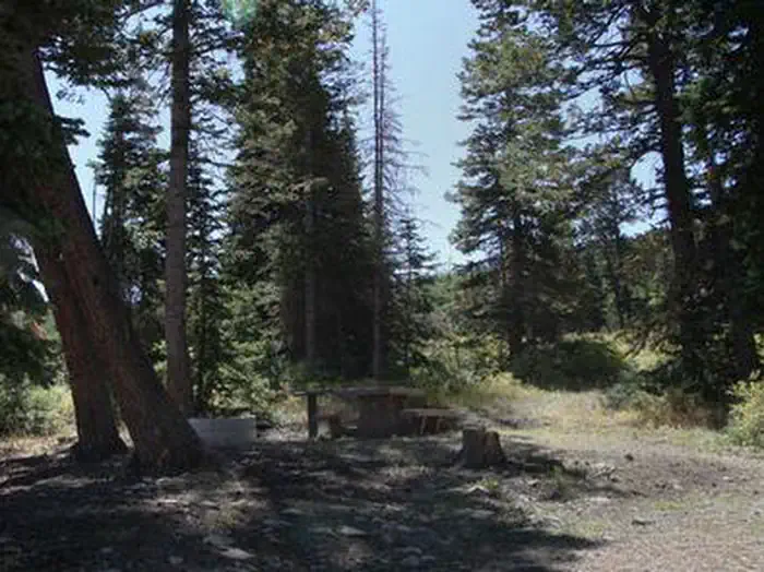 Avintaquin CampgroundCampground · 14 sites
Overview Avintaquin Campground is located atop scenic Indian Canyon, just off Highway 191 between Duchesne and Helper.
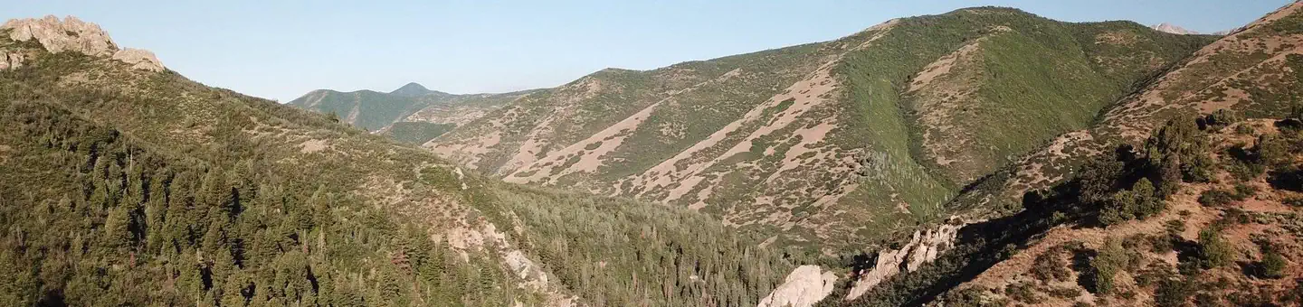 Balsam (Uinta-Wasatch-Cache National Forest, UT)Campground · 26 sites
Overview Balsam Campground is located on the banks of pretty Hobble Creek just 12 miles from Springville, Utah, at an elevation of 6,000 feet.
- Baptist Draw TrailheadFacility · not watchable
Baptist Draw is a technical hike with three rappels with the highest rappel of 65 feet. This hike is for experience canyoneering.
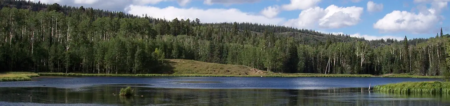 Barker Recreation AreaCampground · 16 sites
Overview Barker Recreation Area is located high on the Colorado Plateau at an elevation of 9,300 feet.
- Barrel Roll TrailFacility · not watchable
Recommended Users: Mountain Bikers, Hikers. Singletrack trail. 5.79 miles in length. Difficulty: Moderate/More.
- Bartlett Slickrock Jedi TrailheadFacility · not watchable
Bartlett/Jedi Slickrock is a free-ride area open to mountain bikes (non-motorized). It's located on the north side of Bartlett Wash.
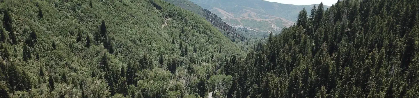 Bear CanyonCampground · 3 sites
Overview Bear Canyon Campground is situated on the boundary of the Mount Nebo Wilderness Area just off the Nebo Loop Scenic Byway at an elevation of 6,800…
- Bear River Ranger StationFacility · not watchable
Bear River Ranger Station, which is located approximately 30 miles South of Evanston, Wyoming on the Mirror Lake Highway (150).
- Beaver Ranger DistrictFacility · not watchable
The Beaver Ranger District covers the southwest portion of the Forest and offers a wide variety of recreational experiences.
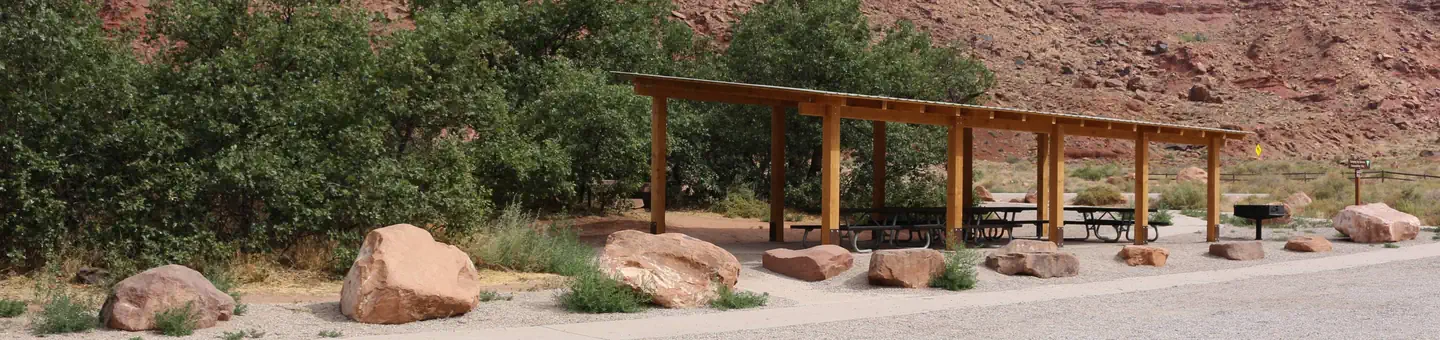 Big Bend Group SitesCampground · 3 sites
Overview Families and large groups will enjoy the three reservable group sites at Big Bend.
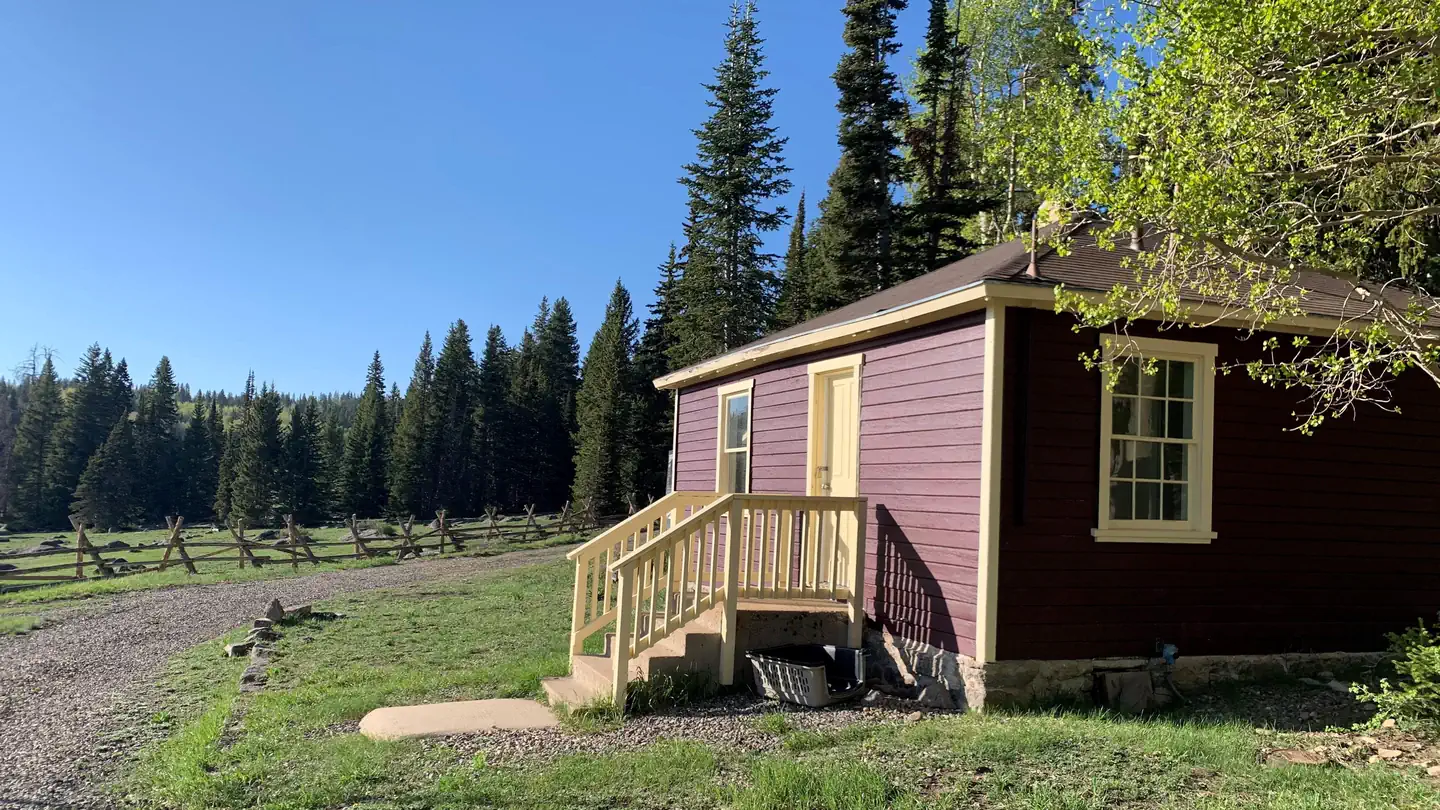 Big Flat Guard StationCampground · 1 sites
Overview Big Flat Guard Station ******************Big Flat Guard Station is CLOSED for the rest of 2026 due to the Cottonwood…
- Big Mesa (State Route 313) Recreation AreaFacility · not watchable
Big Mesa Recreation Area encompasses the public lands surrounding State Route 313 as it heads west of Highway 191 to Dead Horse Point State Park and…
 Big Rock GroupCampground · 1 sites
Overview Big Rock Group Campground is located in beautiful Huntington Canyon, along the Huntington Canyon National Scenic Byway on Utah Highway 31.
- Big Water Visitor CenterFacility · not watchable
The Big Water Visitor Center is one of four visitor centers in the Grand Staircase-Escalante National Monument, each with a different theme.
- Birch Creek CampgroundCampground · not watchable
Located at 6755 ft. the campground has 4 walk-in campsites that are 50 yards from the parking lot. RV camping is permitted in the parking lot.
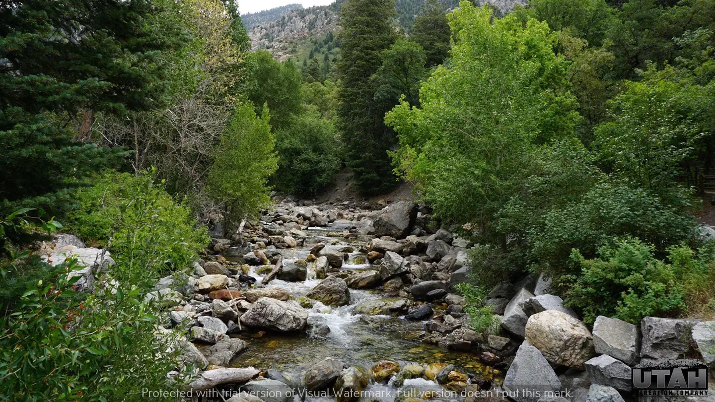 Birches Picnic AreaCampground · 6 sites
Overview Birches Picnic Area is 15 miles from Salt Lake City up Big Cottonwood Canyon. Big Cottonwood Creek runs alongside the site.
- Black Brush TrailFacility · not watchable
Recommended Users: Equestrians, Hikers. Singletrack trail. 3.4 miles in length. Difficulty: Moderate/More.
- Black Dragon Pictograph PanelFacility · not watchable
A mysterious red pictograph (painted) panel accompanied by petroglyphs (pecked images) lies within Black Dragon Wash in the San Rafael Swell.
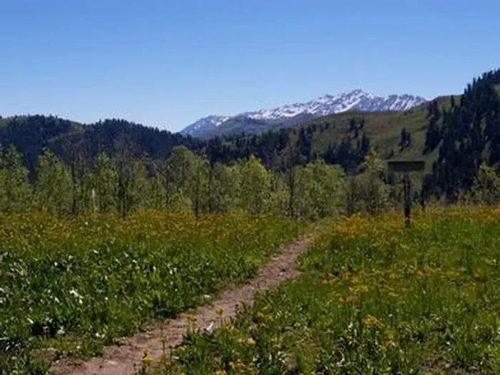 BlackhawkCampground · 38 sites
Overview Blackhawk Campground sits just off the Nebo Loop Scenic Byway at an elevation of 8,000 feet.
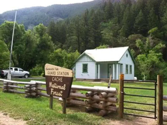 Blacksmith Fork Guard StationCampground · 1 sites
Overview Blacksmith Fork Guard Station is located in the Cache National Forest, approximately 11 miles east of Hyrum, in northern Utah.
- Blue LakeFacility · not watchable
A small fishing lake in the North Creek Lakes area. The Department of Wildlife Resourses of Utah (DWR) stocks this lake with Brook Trout.
- Bostetter CampgroundCampground · not watchable
Bostetter Campground is composed of 10 individual units and 1 group unit. It is located in a stand of Lodgepole pine and stretches along Cottonwood Creek with…
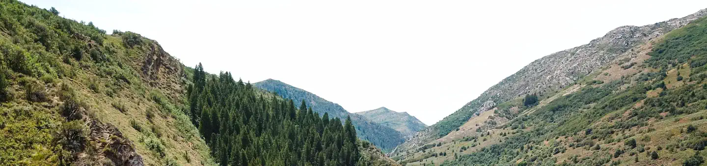 Botts CampgroundCampground · 7 sites
Overview This small campground is located about six miles east of Huntsville, Utah on a curve along the South Fork of the Ogden River.
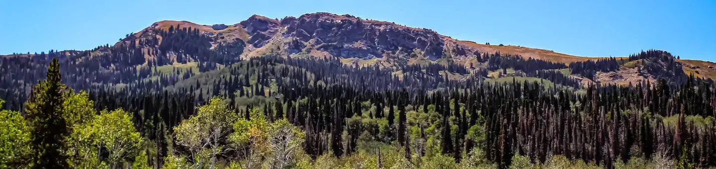 Bountiful Peak CampgroundCampground · 35 sites
Overview Bountiful Peak Campground is set in an alpine basin high in the Wasatch Mountains at an elevation of 7,500 feet. Farmington, Utah, is 9 miles away.
 Bowery CreekCampground · 41 sites
Overview Bowery Creek Campground is located next to Fish Lake in the Fishlake National Forest of central Utah.
- Bowls and Ledges TrailFacility · not watchable
Recommended Users: Mountain Bikers, Hikers. Singletrack trail. 1.1 miles in length. Difficulty: More Difficult.
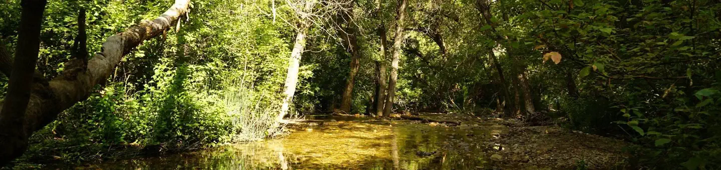 Box Elder CampgroundCampground · 29 sites
Overview Box Elder Campground is situated next to the town of Mantua and Mantua Reservoir in a pretty mountain valley just 5 miles from Brigham City, Utah.
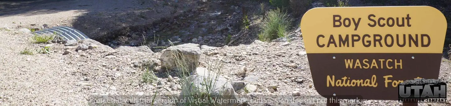 Boy ScoutCampground · 6 sites
Overview Boy Scout Campground is located southwest of Grantsville, Utah, in South Willow Canyon at an elevation of 6,320 feet.
- Boynton Overlook WaysideFacility · not watchable
Boynton Overlook gives visitors a bird's eye view of the riparian area along the meandering Escalante River.
- Brian Head Peak ObservationFacility · not watchable
Located on the highest point of the Cedar City Ranger District on the Dixie National Forest the Brianhead Lookout was built in 1934-35 by the Civilian…
- Brian Head Ski ResortFacility · not watchable
With Utah's highest base elevation, Brian Head Resort offers consistently excellent snow conditions and the driest snow in North America, with an average…
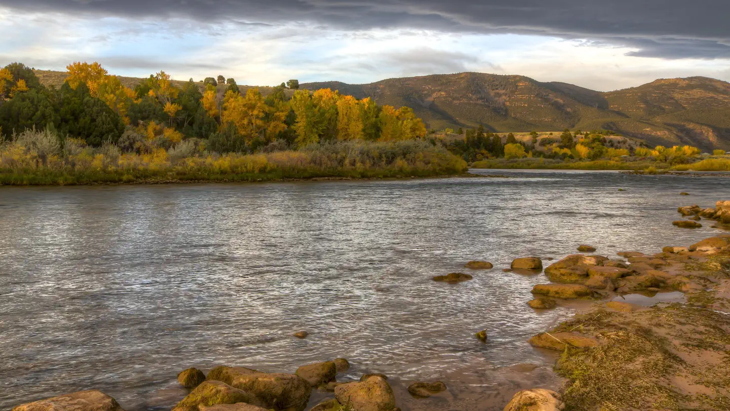 Bridge Hollow CampgroundCampground · 11 sites
Overview This Campground is on a First Come - First Serve Basis, vistors are required to physically be at the campground to purchase and claim a site.
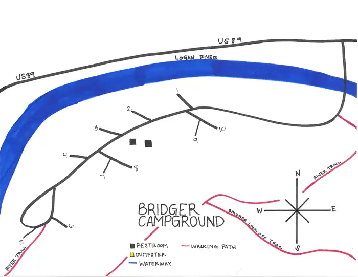 Bridger CampgroundCampground · 9 sites
Overview Bridger Campground is situated next to the Logan River just 6 miles east of Logan, Utah.
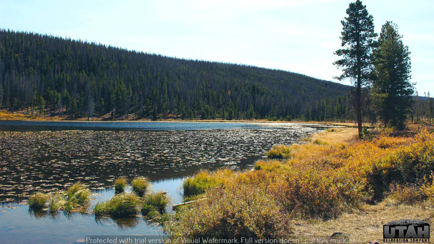 Bridger Lake CampgroundCampground · 29 sites
Overview Bridger Lake Campground is located next to its namesake on the northern slope of the Uinta Mountains at an elevation of 9,400 feet.
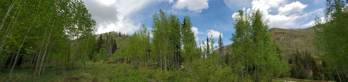 Bridges CampgroundCampground · 7 sites
Overview Bridges Campground is located in beautiful Huntington Canyon, along the Huntington Canyon National Scenic Byway on Utah Highway 31.
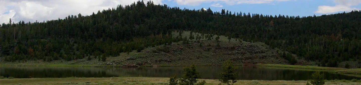 Browne Lake Group SitesCampground · 4 sites
Overview Browne Lake Group Sites are located next to their namesake lake in a high mountain meadow, at an elevation of 8,200 feet.
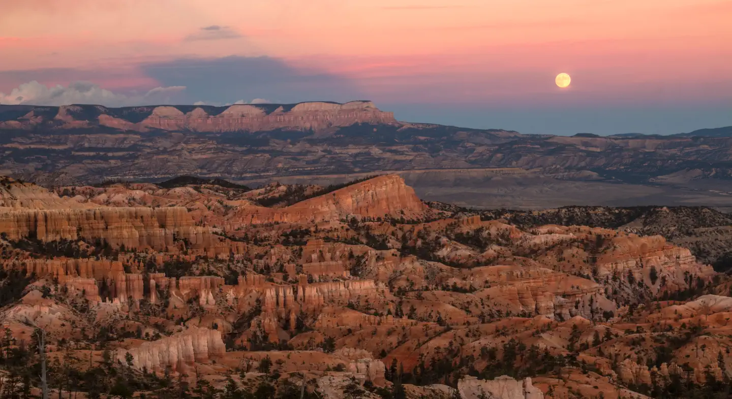 Bryce Canyon National Park Full Moon Hike ToursTickets
Experience Bryce Canyon after dark by joining a park ranger for a guided moonlight hike.
 Bryce Canyon National Park Private Horse ReservationsTickets
Horseback riding is a great way to slow down and experience Bryce Canyon National Park.
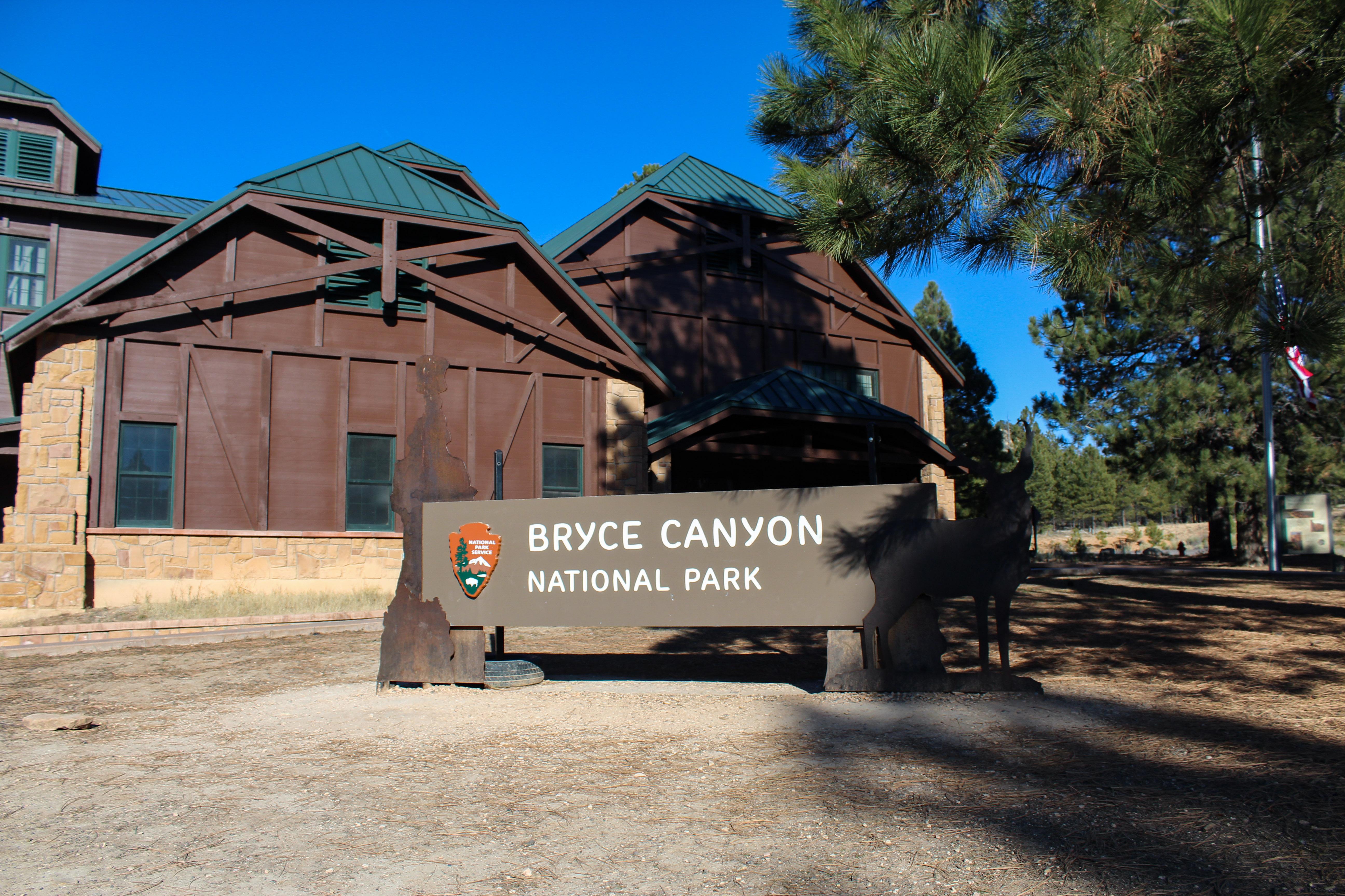 Bryce Canyon Visitor CenterFacility · not watchable
The Bryce Canyon Visitor Center might be one of your first stops when visiting Bryce Canyon National Park.
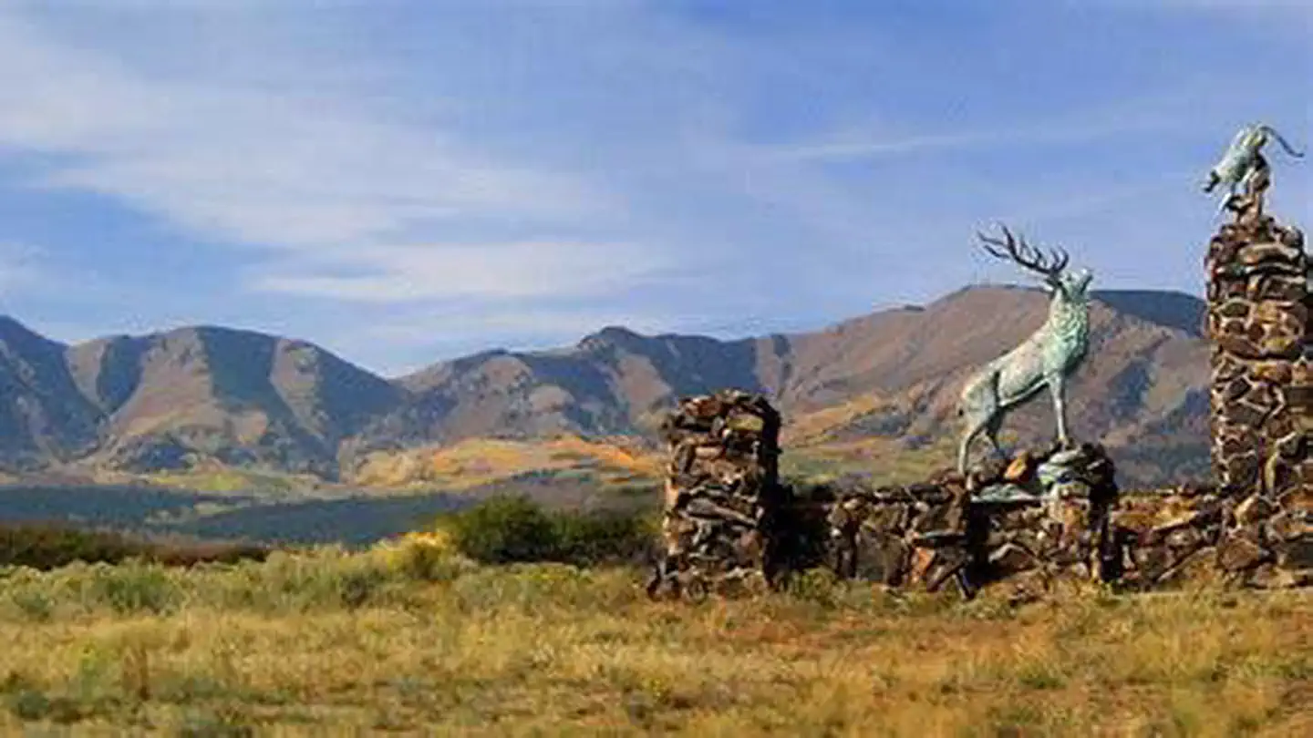 BuckboardCampground · 12 sites
Overview Buckboard Campground sits in the Manti-LaSal National Forest in southeast Utah at the foot of the Abajo Mountains.
- Buckhorn Dino TrackFacility · not watchable
One mile after the Navajo Sandstone sign on the side of the road after entering Buckhorn Draw, there is a pull-out on the right.
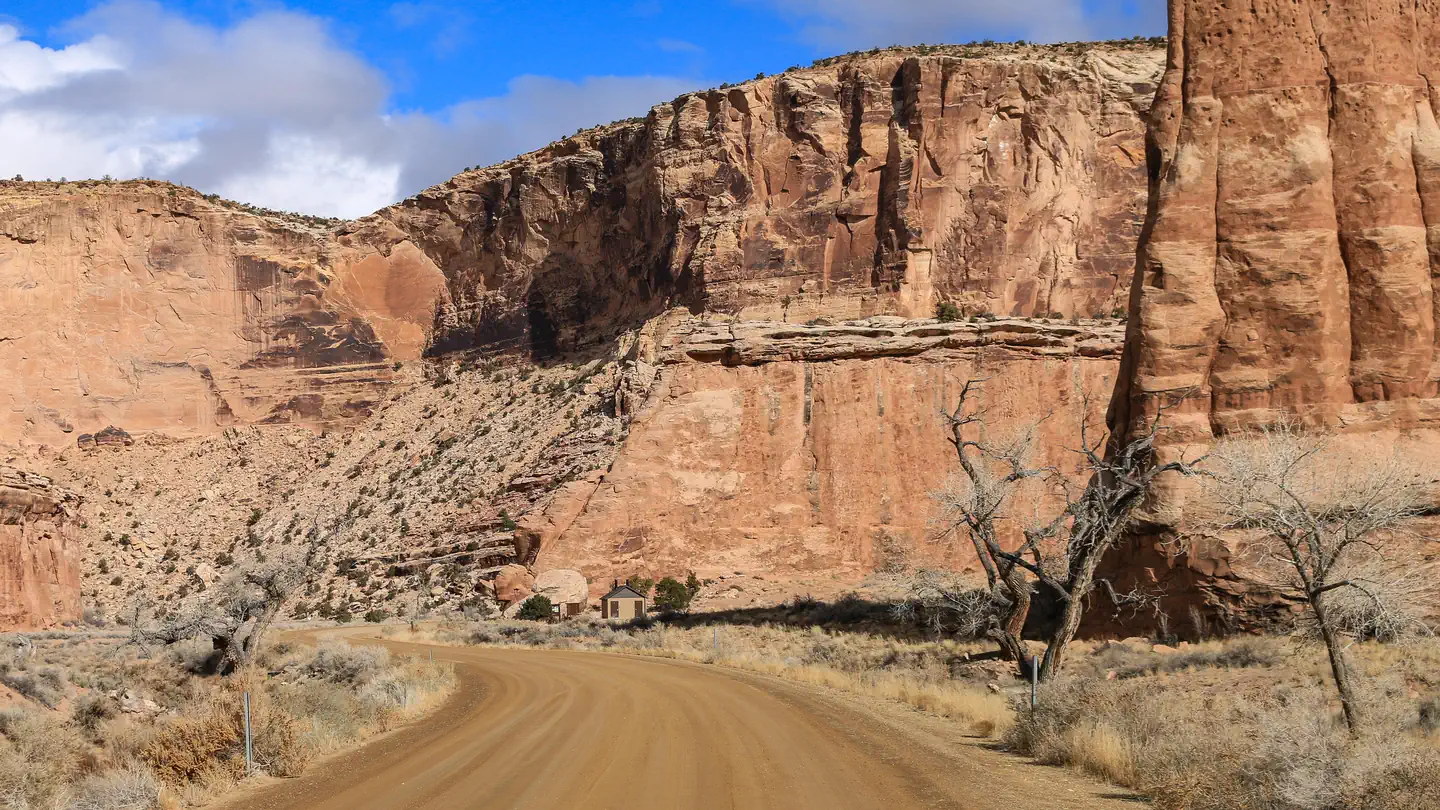 Buckhorn DrawCampground · 32 sites
Overview Buckhorn Draw has multiple vault toilets and information stations along the main road.
- Buckhorn PanelFacility · not watchable
Visitors to the Buckhorn Wash panel enjoy viewing one of the most spectacular examples of Barrier Canyon style rock art.
- Buckmaster THFacility · not watchable
This area is a launching point for exploration of hundreds of miles of Jeep roads OHV and Single track trails.
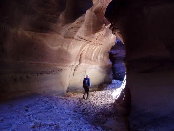 Buckskin Gulch Day UseActivity pass
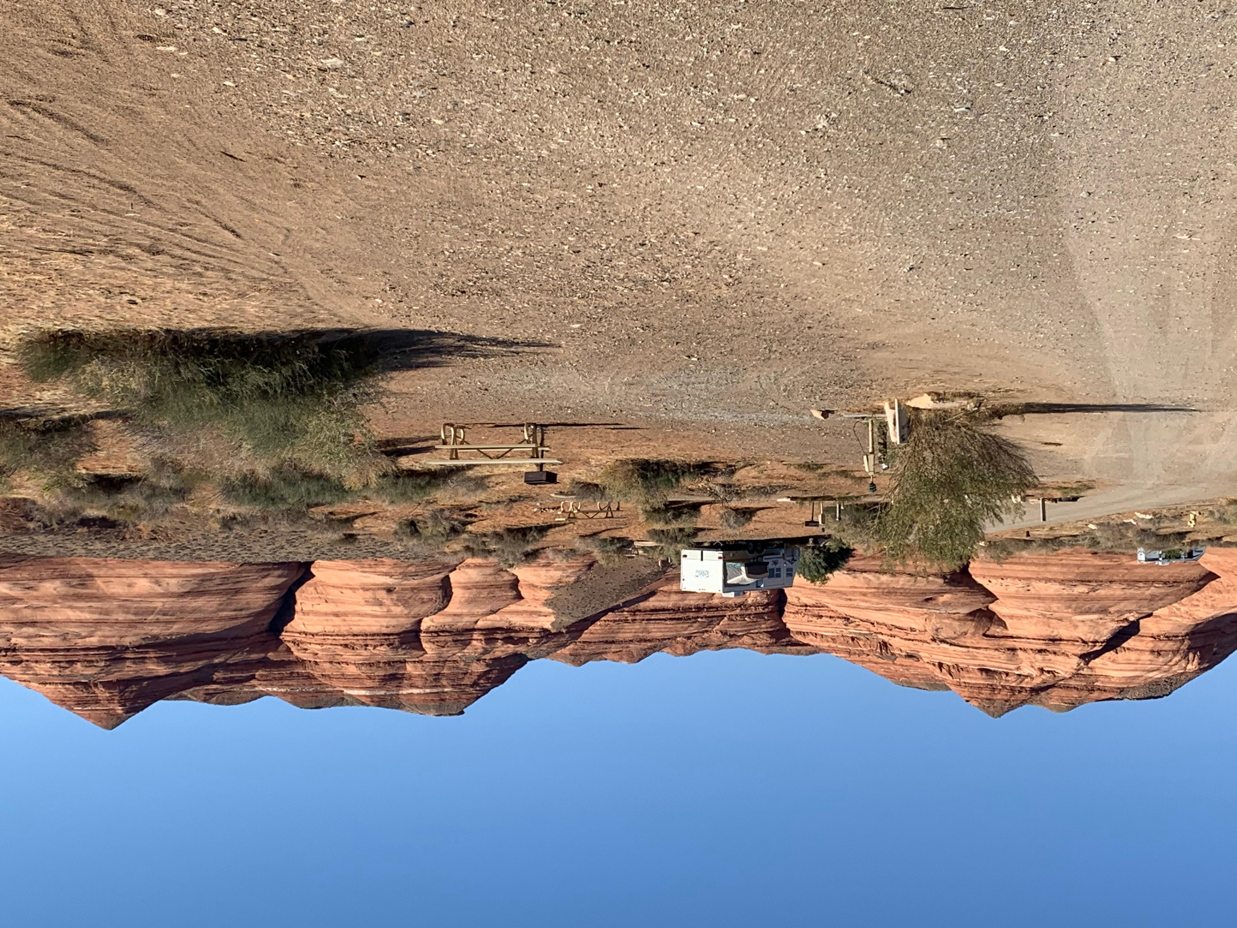 Bullfrog RV & CampgroundCampground · not watchable
This campground is located in the Bullfrog developed area and is operated by Lake Powell Resorts & Marinas.
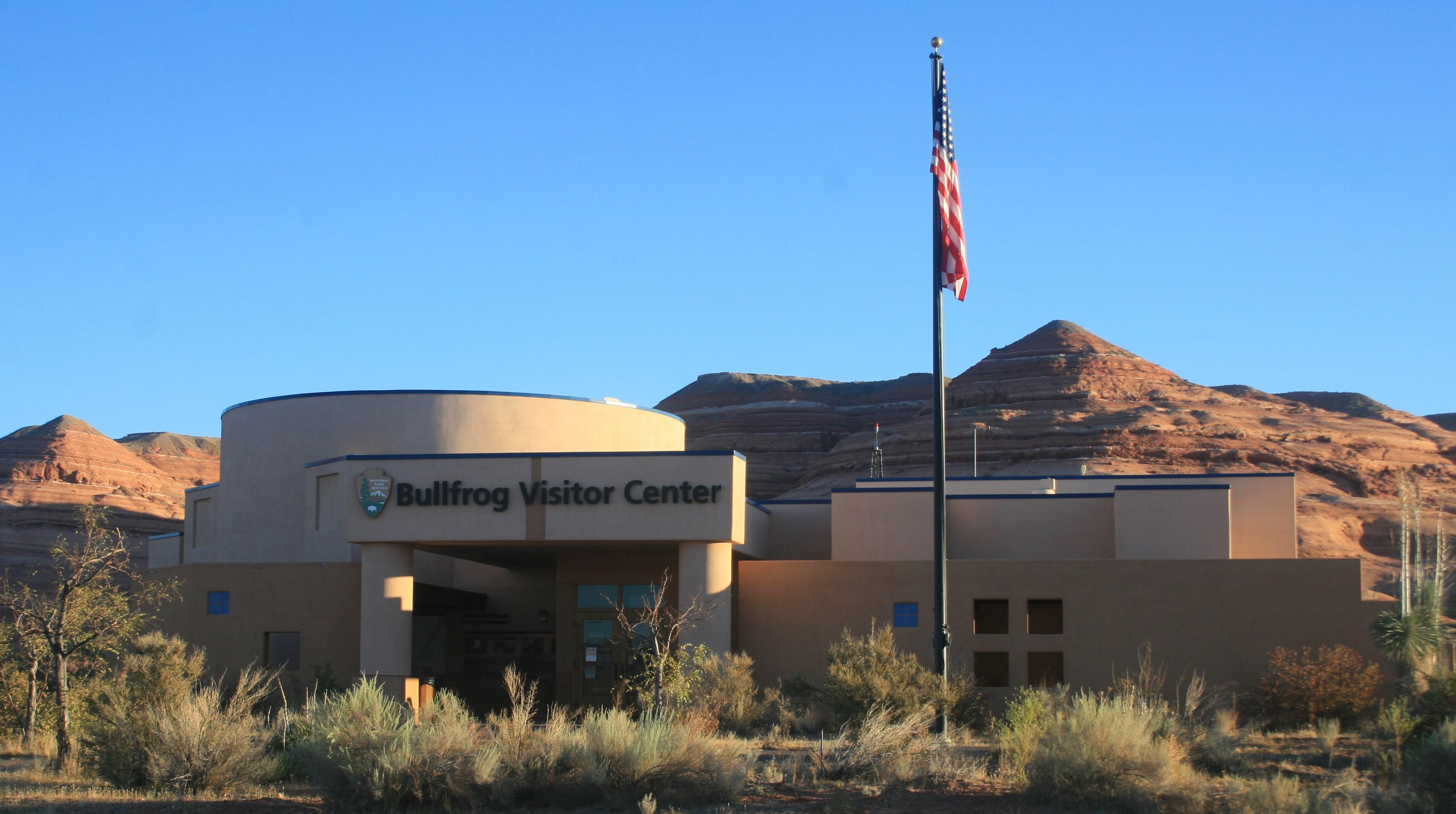 Bullfrog Visitor CenterFacility · not watchable
Open seasonally. Exhibits relating to geology and the human and natural history of Glen Canyon, including a life-size model of a slot canyon!
- Butler Wash Day UseFacility · not watchable
The Butler Wash day use site is located along the Green River Daily, north of the town of Green River, UT.
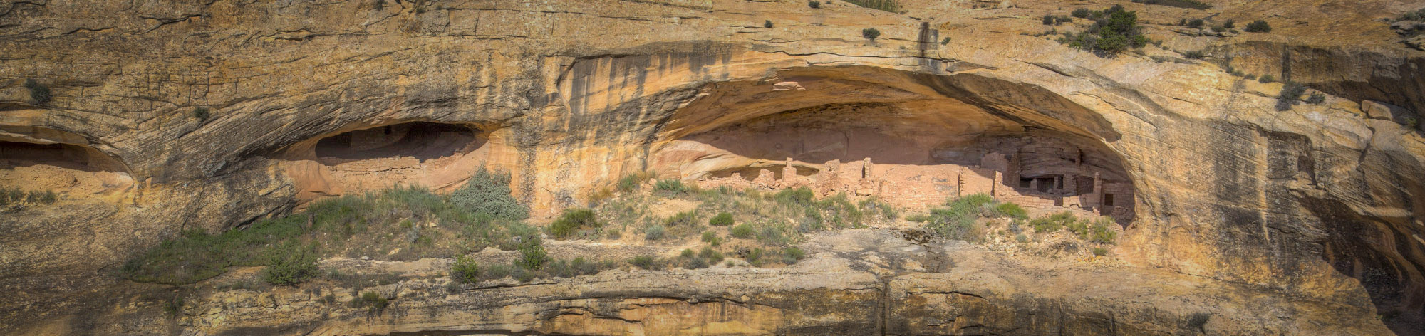 Butler Wash Interpretive TrailFacility · not watchable
The Butler Wash Interpretive Trail is a short hike to a beautiful viewpoint where you can see ancestral Puebloan structures tucked into cliffside alcoves in…
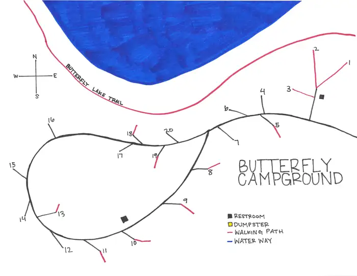 Butterfly CampgroundCampground · 20 sites
Overview Butterfly Campground is located just off the Mirror Lake Scenic Byway on the shores of its beautiful namesake lake at an elevation of 10,300 feet.
- Calf Creek Recreation Area Day Use SiteFacility · not watchable
This lovely 6 mile moderate hike begins at the Calf Creek campground, located 15 miles east of Escalante.
- Callao CCC CampFacility · not watchable
The Civilian Conservation Corps (CCC) constructed a camp near the town of Callao, north of Great Basin Park.
- Canal TrailFacility · not watchable
Recommended Users: Hikers. Singletrack trail. 3.15 miles in length. Difficulty: Difficult.
- Candland Mountain TrailheadFacility · not watchable
The Candland Mountain Trail #5398 is 5.6 miles long. It begins at Highway 31 and ends high on Candland Mountain.
- Cannonville Visitor CenterFacility · not watchable
The Cannonville Visitor Center is one of four visitor centers in the Grand Staircase-Escalante National Monument, each with a different theme.
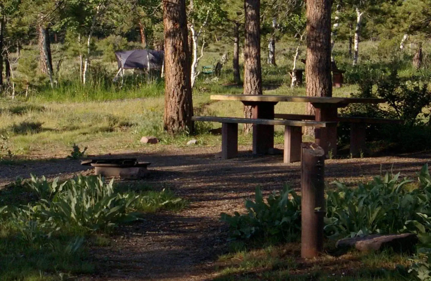 Canyon RimCampground · 17 sites
Overview Canyon Rim Campground is located in a grassy meadow high above Flaming Gorge Reservoir, along Red Canyon Road at an elevation of 7,400 feet.
 Canyonlands National Park Needles District CampgroundCampground · 11 sites
Overview The Needles is a remote district located within the southern portion of Canyonlands National Park in southeastern Utah.
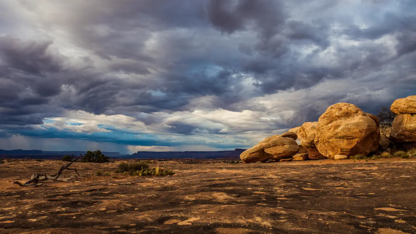 Canyonlands National Park Needles District GROUP CampsitesCampground · 3 sites
Overview The Needles is a remote district located within the southern portion of Canyonlands National Park in southeastern Utah.
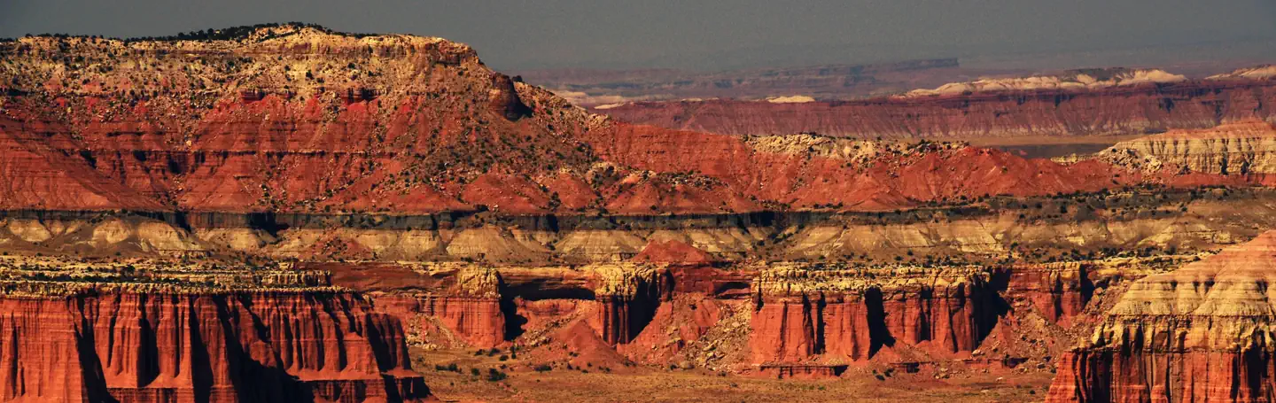 Capitol Reef Group CampgroundCampground · 1 sites
Overview Located in south-central Utah in the heart of red rock country, Capitol Reef National Park is a hidden treasure filled with cliffs, canyons, domes and…
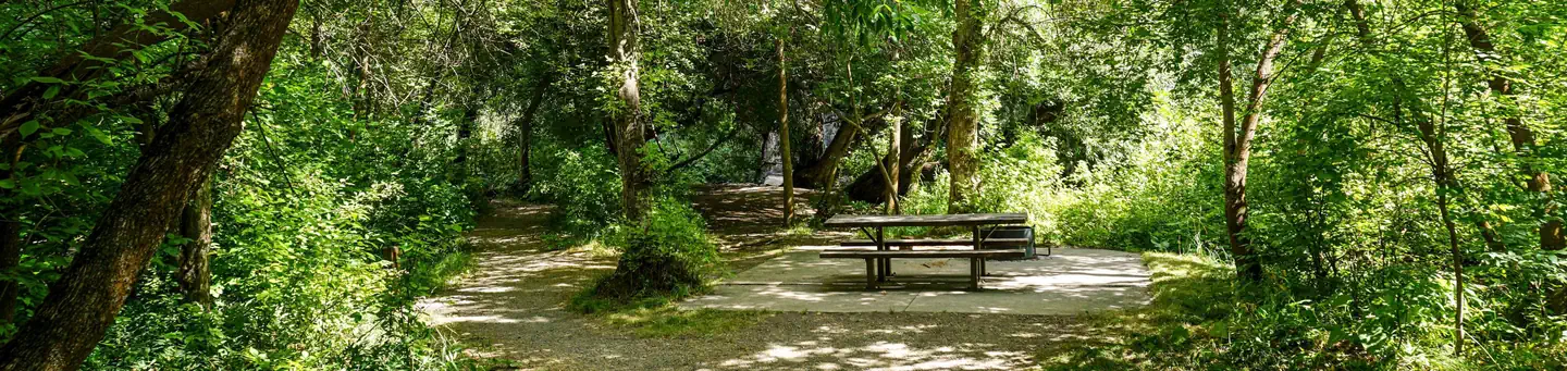 Card Picnic AreaCampground · 4 sites
Overview Card Picnic Area is situated on the banks of the Logan River just 9.4 miles east of Logan, Utah, in scenic Logan Canyon.
 Carter Military Trail YurtCampground · 1 sites
Overview Carter Military Trail Yurt provides primitive lodging during summer and fall months, and during the winter, it is open to the public as a warming…
- Castleton TowerFacility · not watchable
Castleton Tower is probably the most famous desert tower in the world, and was the first major tower climbed in the Moab area.
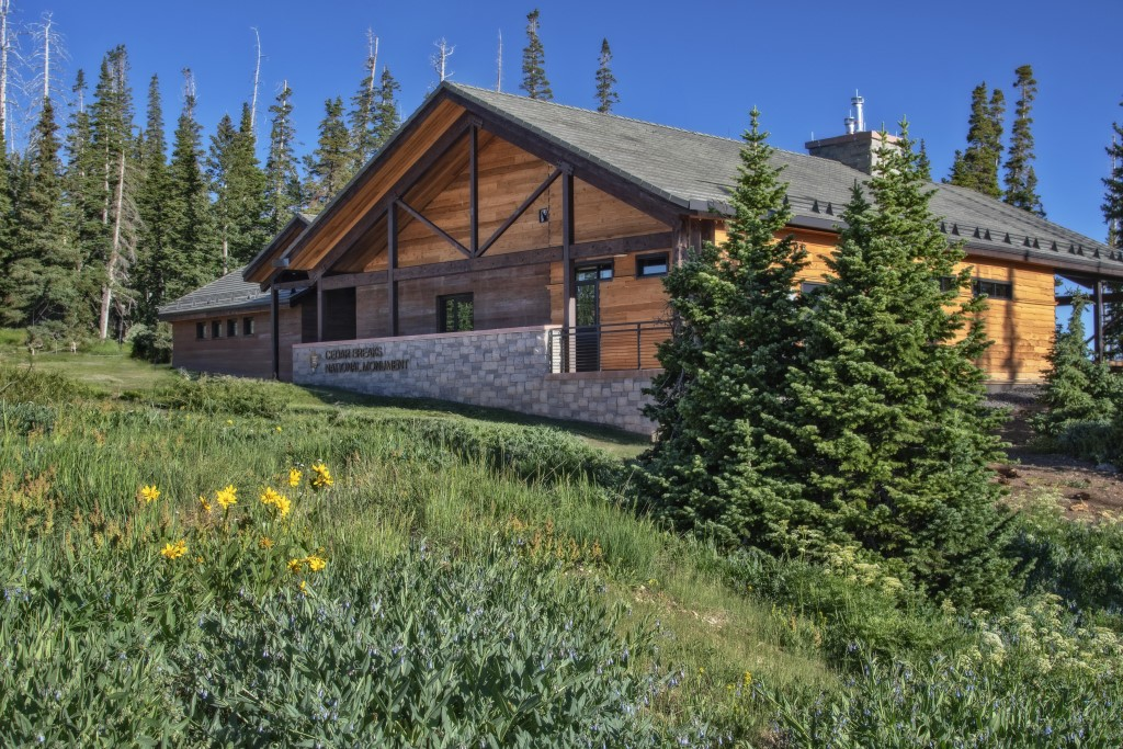 Cedar Breaks Visitor CenterFacility · not watchable
Start your visit at the Cedar Breaks Visitor Center! Here, you can talk with a ranger, pay your entrance fee, pick up a Junior Ranger activity booklet, buy a…
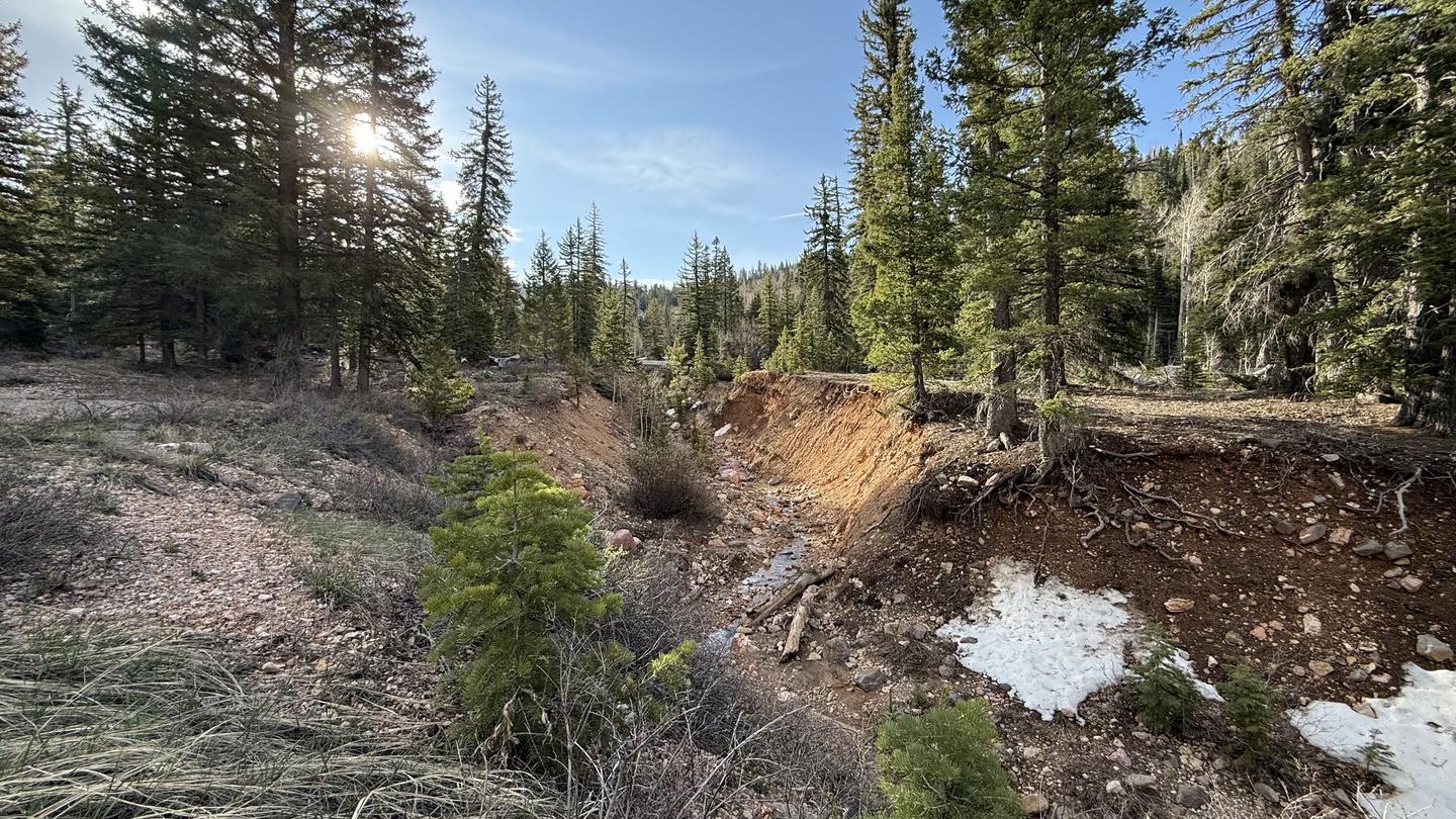 Cedar CanyonCampground · 19 sites
Overview Cedar Canyon Campground is located conveniently close to Cedar City, Utah, only 11 miles east.
- Cedar City Ranger DistrictFacility · not watchable
The Cedar City Ranger District is located on the Markagunt Plateau, a gently sloping, eastward tilted earth block that has been modified by erosion, volcanism,…
- Cedar Mountain Day Use SiteFacility · not watchable
At over 7,600 feet above sea level, this picnic area scattered through the joint fractured Buckhorn Conglomerate is a child’s delight of narrow passages and…
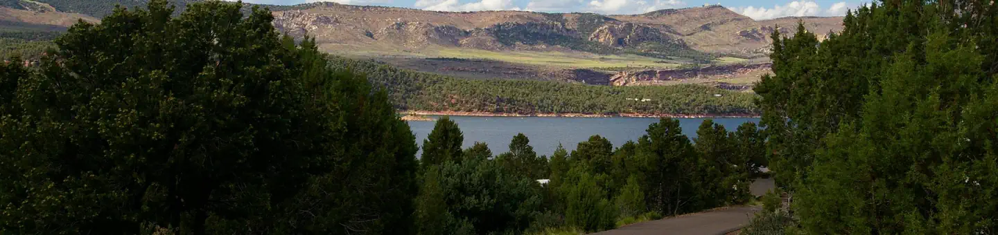 Cedar Springs CampgroundCampground · 24 sites
Overview Cedar Springs Campground is located in the beautiful Flaming Gorge National Recreation Area on the Ashley National Forest at an elevation of 6,100…
 Cemetery Point Picnic AreaCampground · 310 sites
Overview Cemetery Point is located just 15 miles from Ogden, Utah. With beach and boat access to one of the most popular reservoirs in Utah, Cemetery Point is…
- Chamberlain's Ranch TrailheadFacility · not watchable
Chamberlain’s Ranch Trailhead (also called North Fork Trailhead) provides the primary access to the North Fork Virgin River Wilderness Study Area and is the…
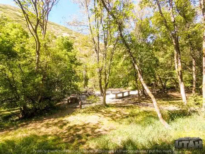 CherryCampground · 18 sites
Overview Cherry Campground is located on the banks of pretty Hobble Creek just six miles from Springville, Utah, at an elevation of 5,200 feet.
- Chicken Corners TrailheadFacility · not watchable
This 4X4 route travels the Colorado River Canyon just below Moab, follows a spectacular part of Kane Springs Canyon, climbs the Kane Creek anticline to Hurrah…
- Chimney Rock THFacility · not watchable
This trail system provides ample opportunity for OHV enthusiasts to explore hundreds of miles of trails within the area.
- China Town Flume TrailFacility · not watchable
Recommended Users: Hikers. Singletrack trail. 0.3 miles in length. Difficulty: Easy.
- Chokecherry Picnic AreaCampground · 4 sites
Overview Chokecherry Picnic Area is located in scenic Logan Canyon at an elevation of 5,400 feet.
- Cholla TrailFacility · not watchable
Recommended Users: Equestrians, Hikers, Mountain Bikers. Two-track trail. 1 mile in length. Difficulty: Easy/Easiest. Cholla Trail is an old road.
- Chriss LakeFacility · not watchable
A small fishing lake on Boulder Mountain accessible by hikers, bikers and horse riders via the Chriss Lake Trail #016.
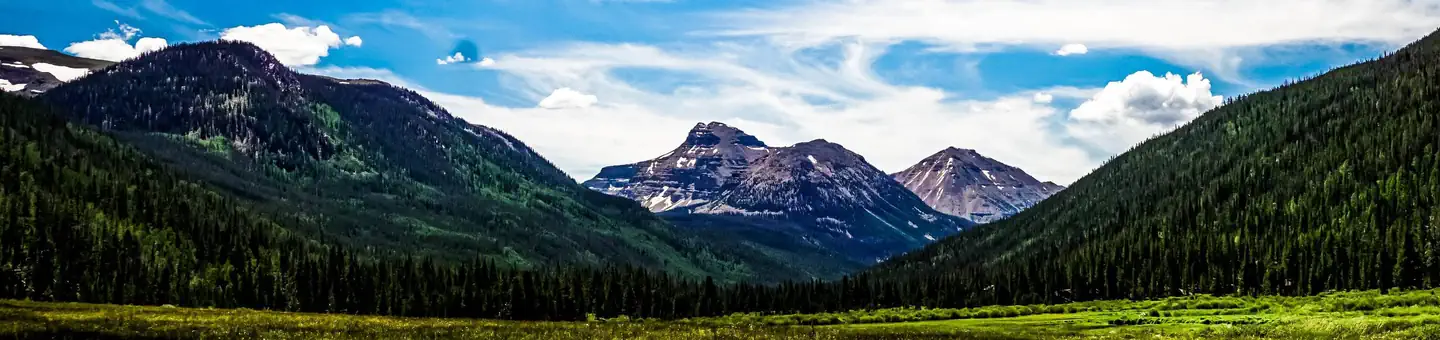 Christmas Meadows CampgroundCampground · 10 sites
Overview Christmas Meadows Campground is located just a few miles off the Mirror Lake Scenic Byway, 36 miles from Evanston, Wyoming.
- Chute Canyon TrailheadFacility · not watchable
Chute Canyon is one of the many slot canyons in the Muddy Creek Wilderness Area. This hike can be accessed by the Behind the Reef Road.
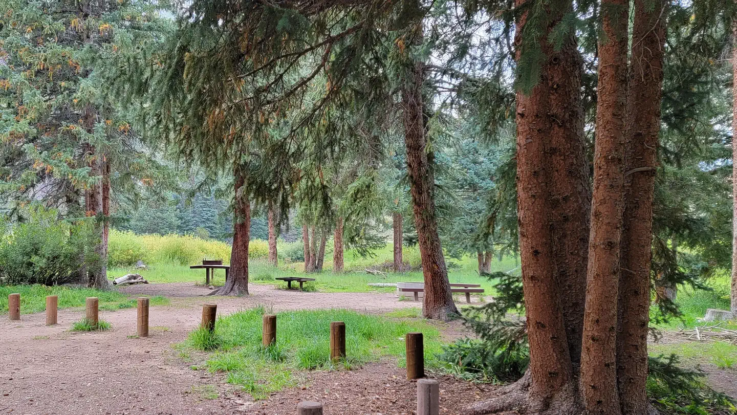 Chute GroupCampground · 1 sites
Overview Chute Group Campground is located in beautiful Huntington Canyon, along the Huntington Canyon National Scenic Byway on Utah Highway 31.
- Clay Flat KioskFacility · not watchable
"The Clay Flay Kiosk is located on the Yellowjacket road approximately two miles south of Highway 89, just north of Kanab, UT.
- Clear Creek CampgroundCampground · not watchable
Clear Creek Campground is a non-fee campground and picnic area composed of 12 individual units and reservations are not required.
- Cleveland Reservoir CampgroundCampground · 2 sites
Overview Cleveland Reservoir Campground is located along Utah's scenic Energy Loop on top of the Wasatch Plateau off Highway 31 approximately 18 miles east of…
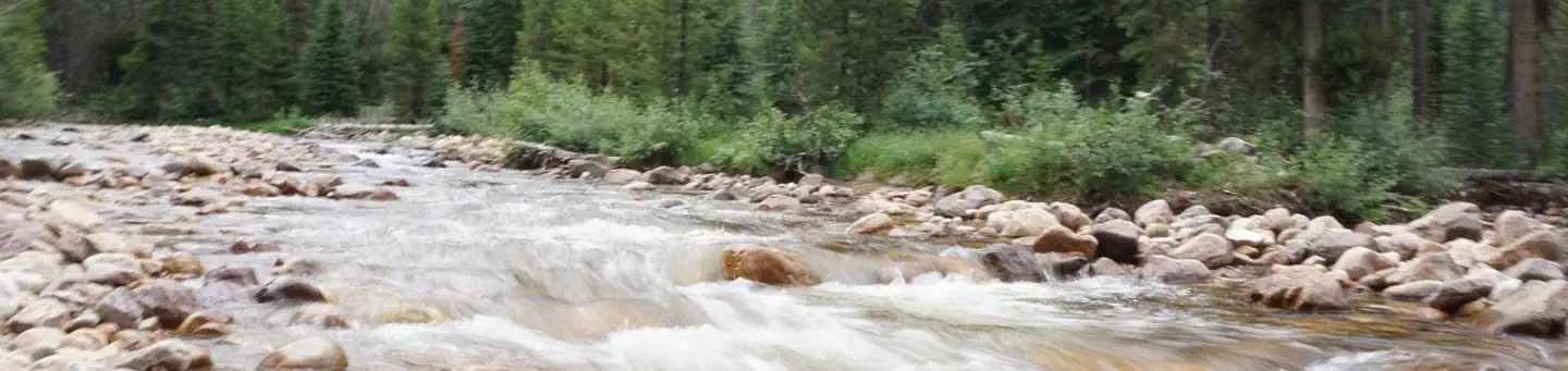 Cobblerest CampgroundCampground · 18 sites
Overview Cobblerest Campground is located on the beautiful Mirror Lake Scenic Byway in the Uinta Mountains of northeastern Utah at an elevation of 8,500 feet.
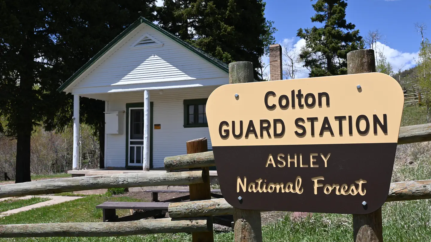 Colton Guard StationCampground · 1 sites
Overview Colton Guard Station is located in the Colton Hollow area, approximately 5 miles west of U.S. Highway 191.
- Conger Mountain One Day RideFacility · not watchable
The Conger Mountain ATV Trail provides 127 miles of fun. The trails are marked with difficulty ratings from easy to extreme.
- Connector TrailFacility · not watchable
Recommended Users: Mountain Bikers, Hikers. Singletack trail. 0.08 miles in length. Difficulty: Easiest.
- Copper Globe TrailheadFacility · not watchable
The Copper Globe mining area provides visitors with an opportunity to explore standing structures and features associated with a historic mine in operation…
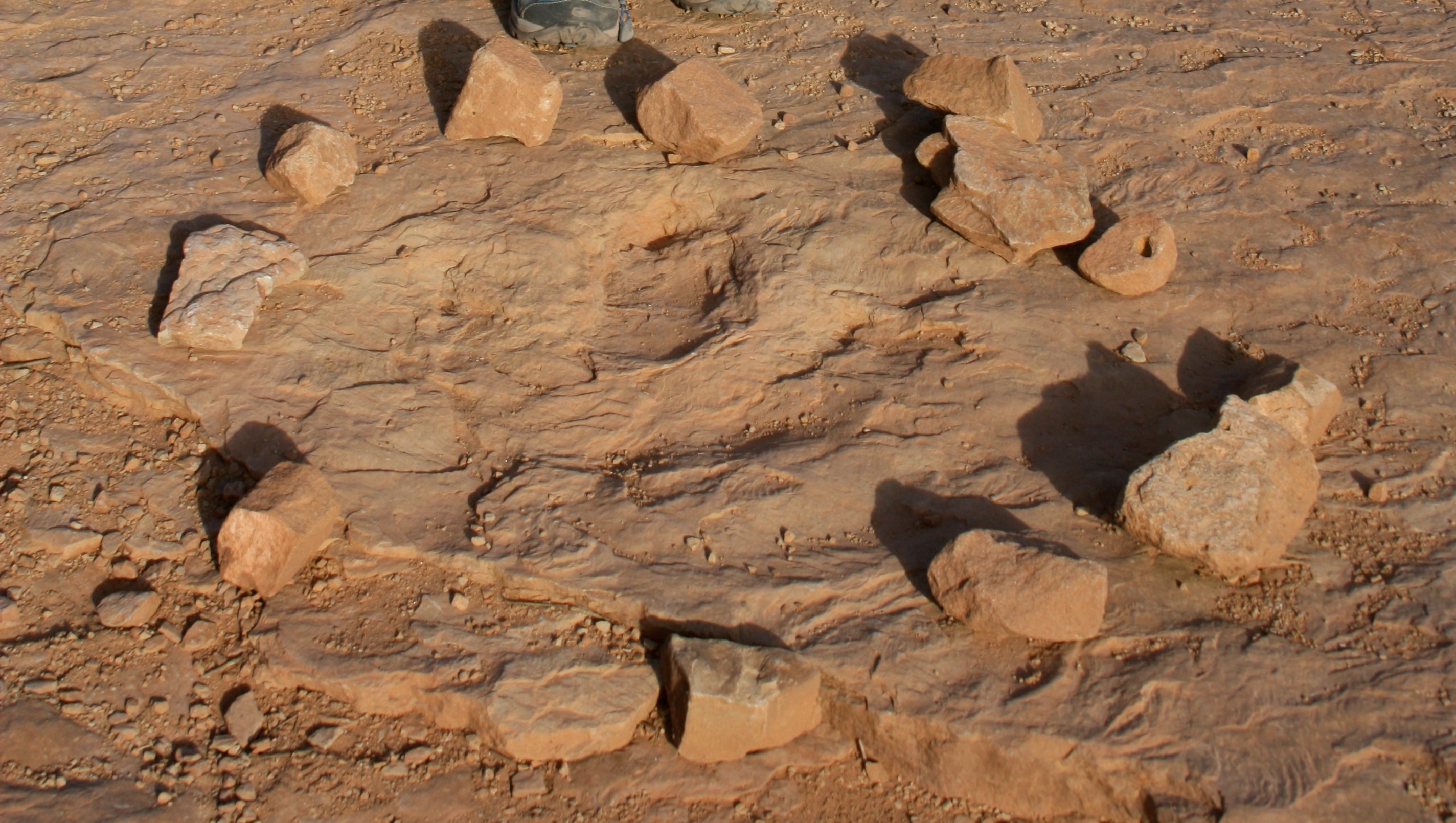 Copper Ridge Dinosaur Tracks Interpretive SiteFacility · not watchable
Located just north of Moab, Utah, Copper Ridge Dinosaur Tracks Interpretive Site offers a rare chance to see authentic Jurassic-era footprints preserved in the…
- Cordura TrailFacility · not watchable
Recommended Users: Mountain Bikers, Hikers. Singletrack trail. 0.27 miles in length. Difficulty: Easy/Easiest.
- Corona Arch TrailFacility · not watchable
The Corona Arch Trail was designated as a National Recreation Trail on May 30, 2018.
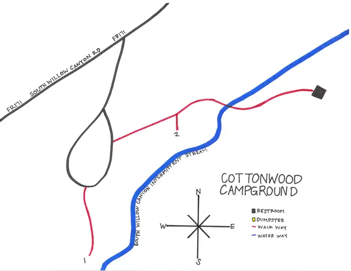 Cottonwood Campground - SLRDCampground · 1 sites
Overview Cottonwood Campground is located southwest of Grantsville, Utah, in South Willow Canyon at an elevation of 6,080 feet.
- Cottonwood Canyons Scenic BackwayFacility · not watchable
The scenic Backway runs for 46 miles traversing southward thround Grand Staircase-Escalante National Monument from Cannonville to Highway 89.
- Cottonwood TrailheadFacility · not watchable
Trailhead #066. This is a horse and foot trail that is currently accessed through the lower part of Cottonwood Campground.
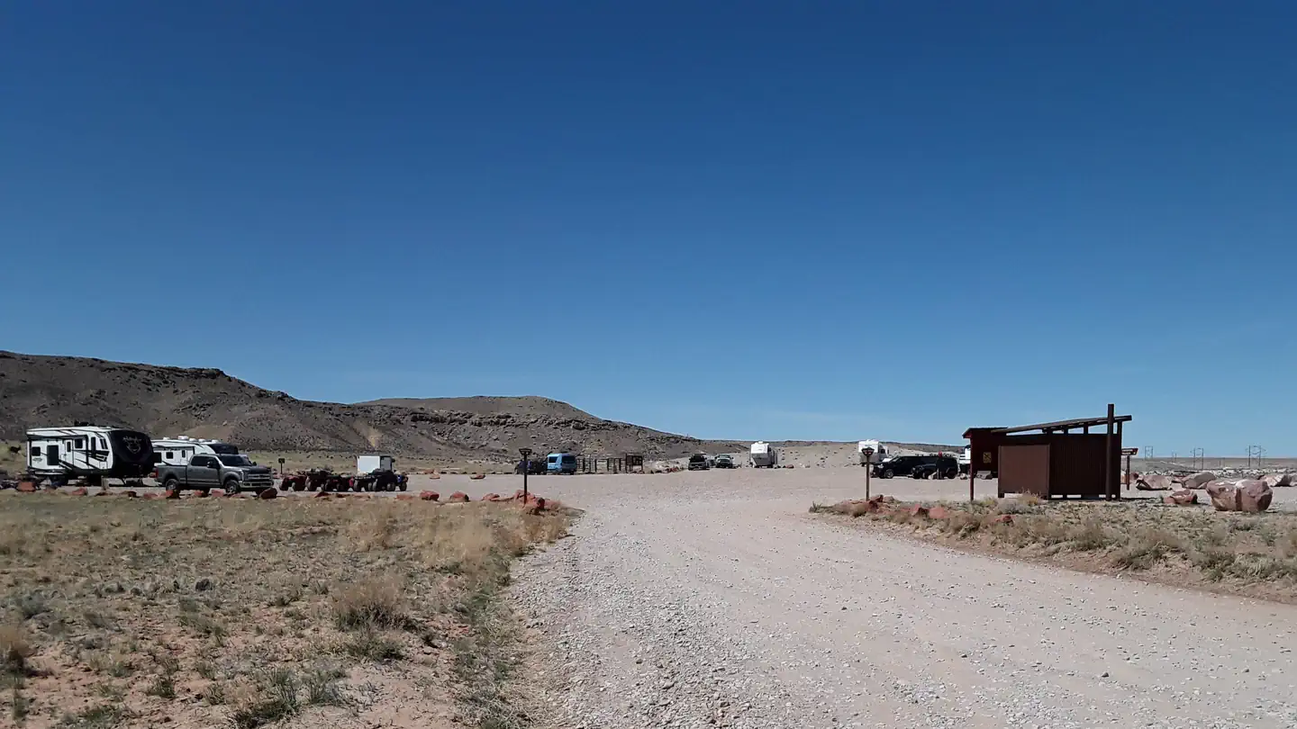 Courthouse Rock CampgroundCampground · 10 sites
Overview Attention: Campsites 1 - 4 and 7 - 10 are available first come, first serve only.
- Cove Wash East TrailFacility · not watchable
Recommended Users: Hikers. Route. 2.7 miles in length. Difficulty: Moderate. From the trailhead, take the Cove Wash West Trail and drop into Cove Wash.
- Cove Wash West TrailFacility · not watchable
Recommended Users: Mountain Bikers, Hikers. Route. 4 miles in length. Difficulty: Moderate/Easiest.
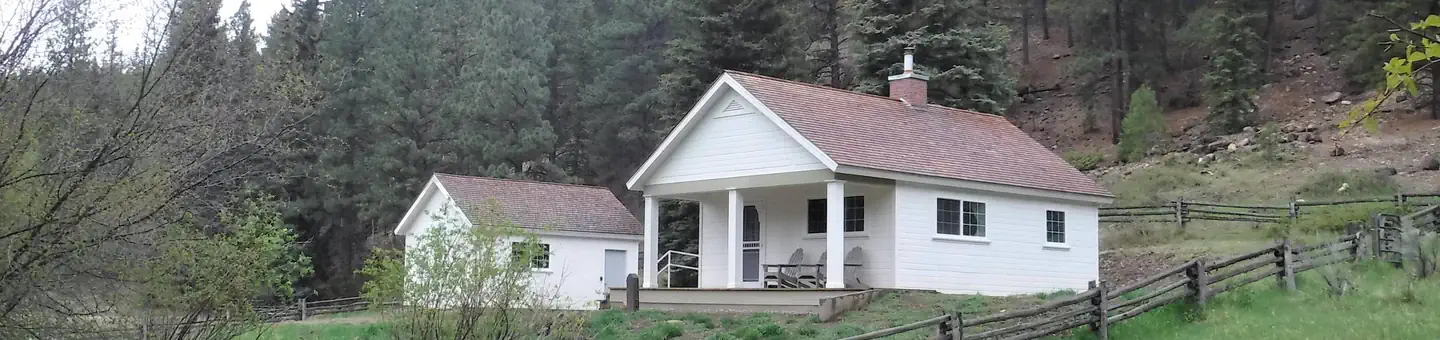 Cowpuncher Guard StationCampground · 1 sites
Overview Cowpuncher Guard Station is located in the Dixie National Forest, 20 miles northeast of the town of Escalante in southern Utah.
- Coyote Canyon TrailheadFacility · not watchable
The Coyote Canyon motorized route is an extreme trail specifically designated for rock crawler-type vehicles only.
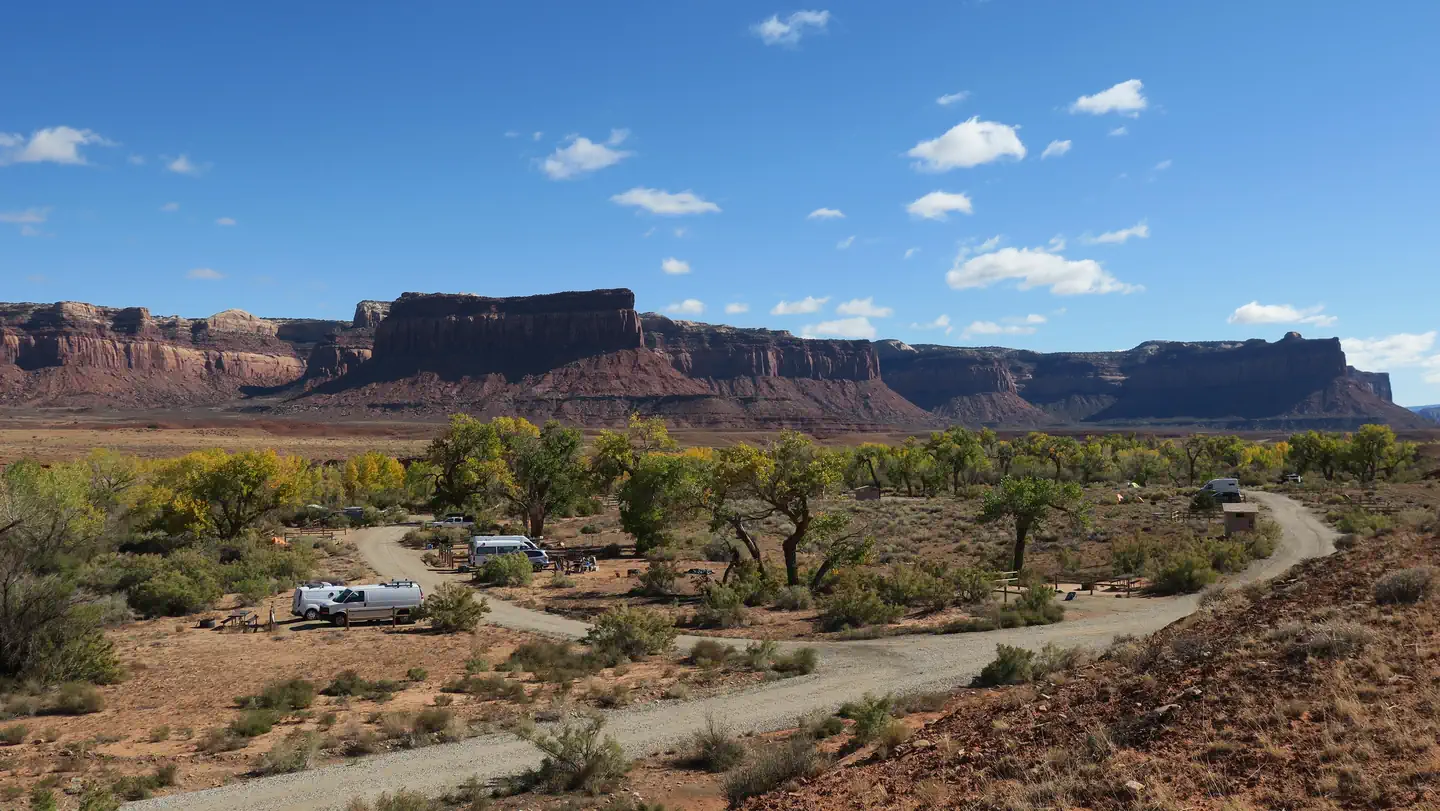 Creek Pasture CampgroundCampground · 32 sites
Overview Creek Pasture Campground is a good option for visitors wishing to recreate in the Indian Creek area of Bears Ears National Monument or be close to the…
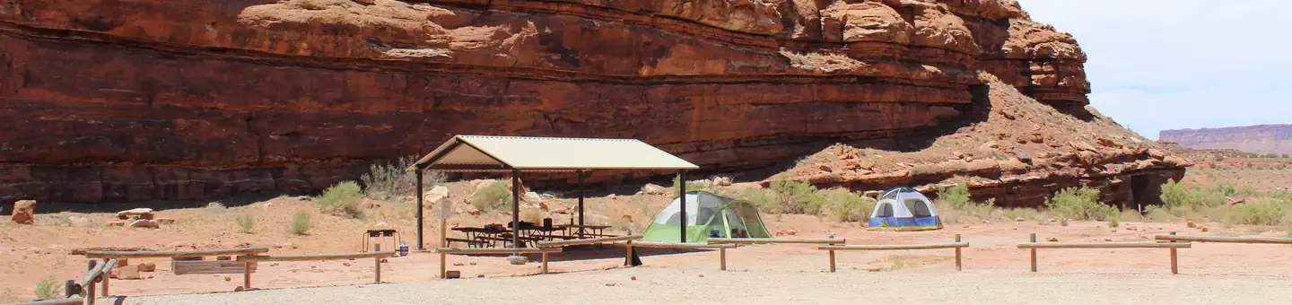 Creek Pasture Group SiteCampground · 1 sites
Overview The Creek Pasture Group Site at Creek Pasture Campground is ideal for large groups wishing to recreate in the Indian Creek area, or camp close to the…
- Cryptobiotic TrailFacility · not watchable
Recommended Users: Mountain Bikers, Hikers. Singletrack trail. 3 miles in length. Difficulty: Moderate/Easiest.
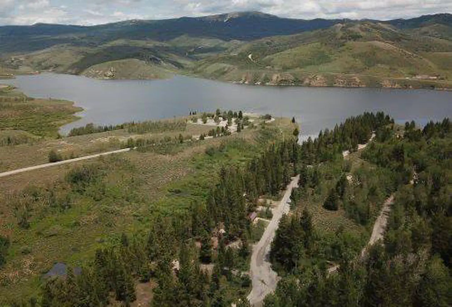 Currant CreekCampground · 78 sites
Overview Currant Creek Campground sits next to Currant Creek Reservoir at an elevation of 8,000 feet.
 Currant Creek Guard Station (UT)Campground · 1 sites
Overview This duplex cabin is adjacent to the beautiful Currant Creek Reservoir at an elevation of 8,000 feet.
- Daddy Canyon TrailheadFacility · not watchable
The Daddy Canyon trailhead provides visitors with a multitude of recreational opportunities.
- Dance Hall Rock Historic SiteFacility · not watchable
Dance Hall Rock is a large sandstone amphitheater located 42 miles down the Hole-in-the-Rock Road.
- Dark Canyon Wilderness Recreation AreaFacility · not watchable
The United States Congress designated the Dark Canyon Wilderness in 1984 . Great stone arches, old-growth ponderosa pine, aspen groves, meadows, hanging…
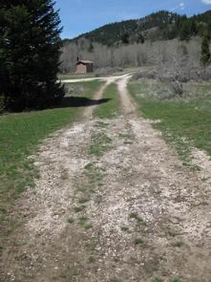 Davis Canyon CampgroundCampground · 1 sites
Overview Davis Canyon Campground is situated on St. Charles Creek a scenic canyon in the forests of southeast Idaho.
- Deer Creek LakeFacility · not watchable
A small fishing lake on Boulder Mountain accessible by hikers, bikers and horse riders via the Deer Creek Lake Trail #015 and 048.
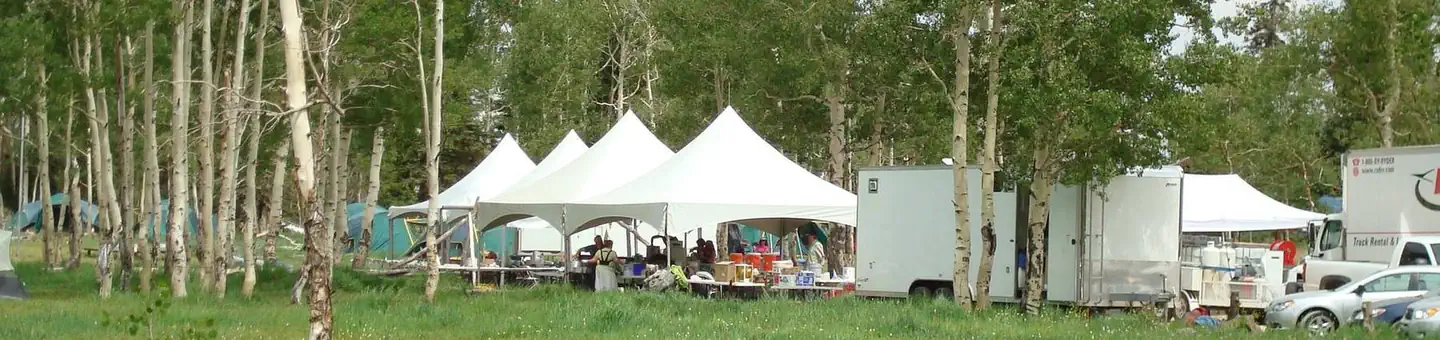 Deer HavenCampground · 18 sites
Overview Deer Haven Campground is situated high on the western edge of the Colorado Plateau, close to Cedar City, Utah.
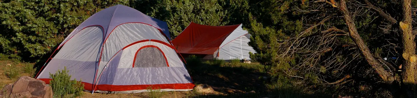 Deer Run CampgroundCampground · 18 sites
Overview Deer Run Campground is located in the beautiful Flaming Gorge National Recreation Area on the Ashley National Forest at an elevation of 6,200 feet.
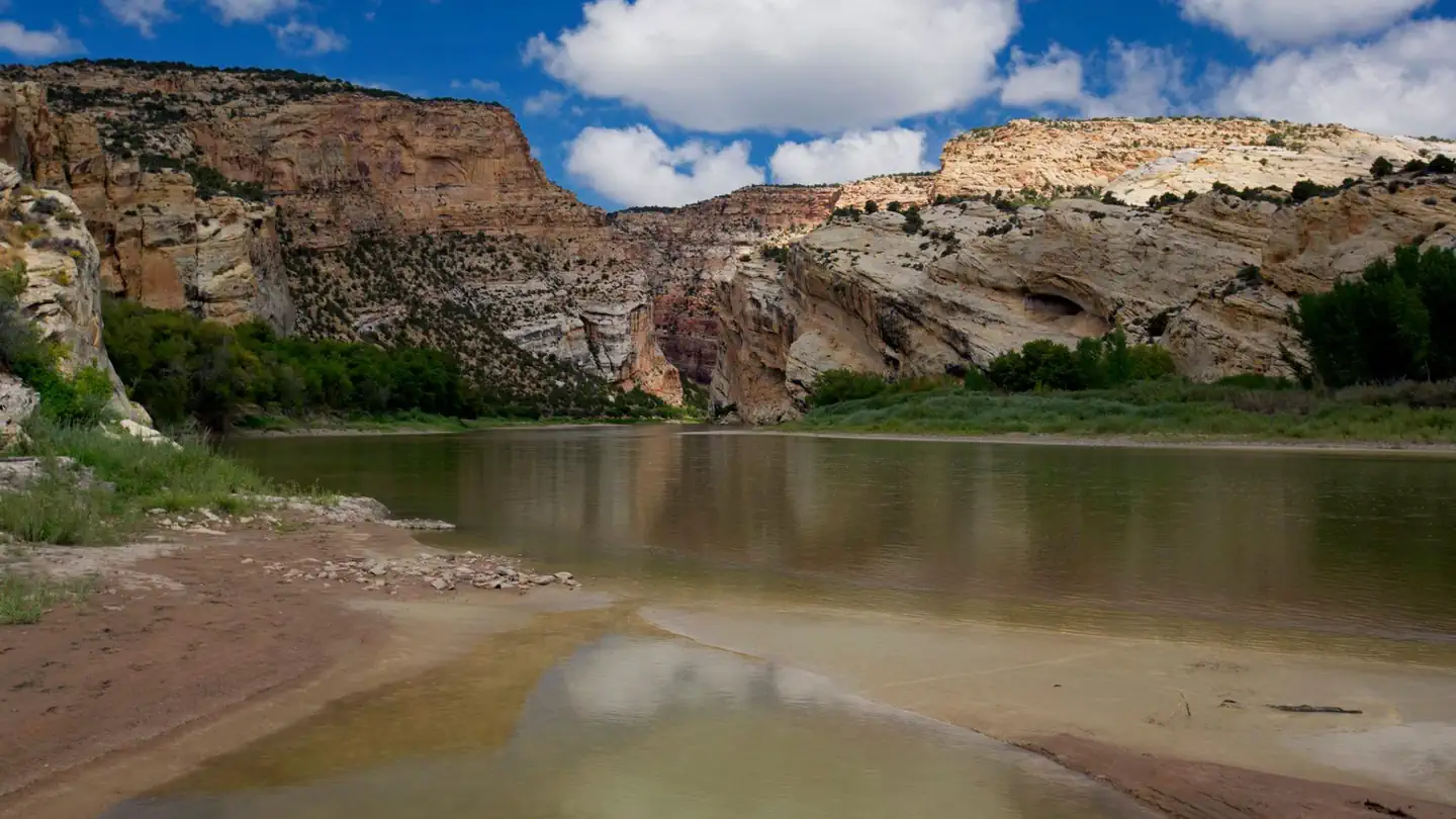 Deerlodge Park CampgroundCampground · 7 sites
Overview Deerlodge Park Campground is located 51 miles (85 km) east of the Canyon Visitor Center and 80 miles (129 km) from the Quarry Visitor Center.
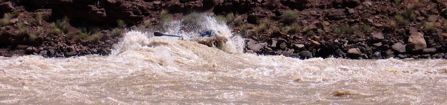 Desolation Gray - Green River PermitPermit
Overview: The Green River enters Desolation Canyon just north of Sand Wash as it exits the Uinta Basin.
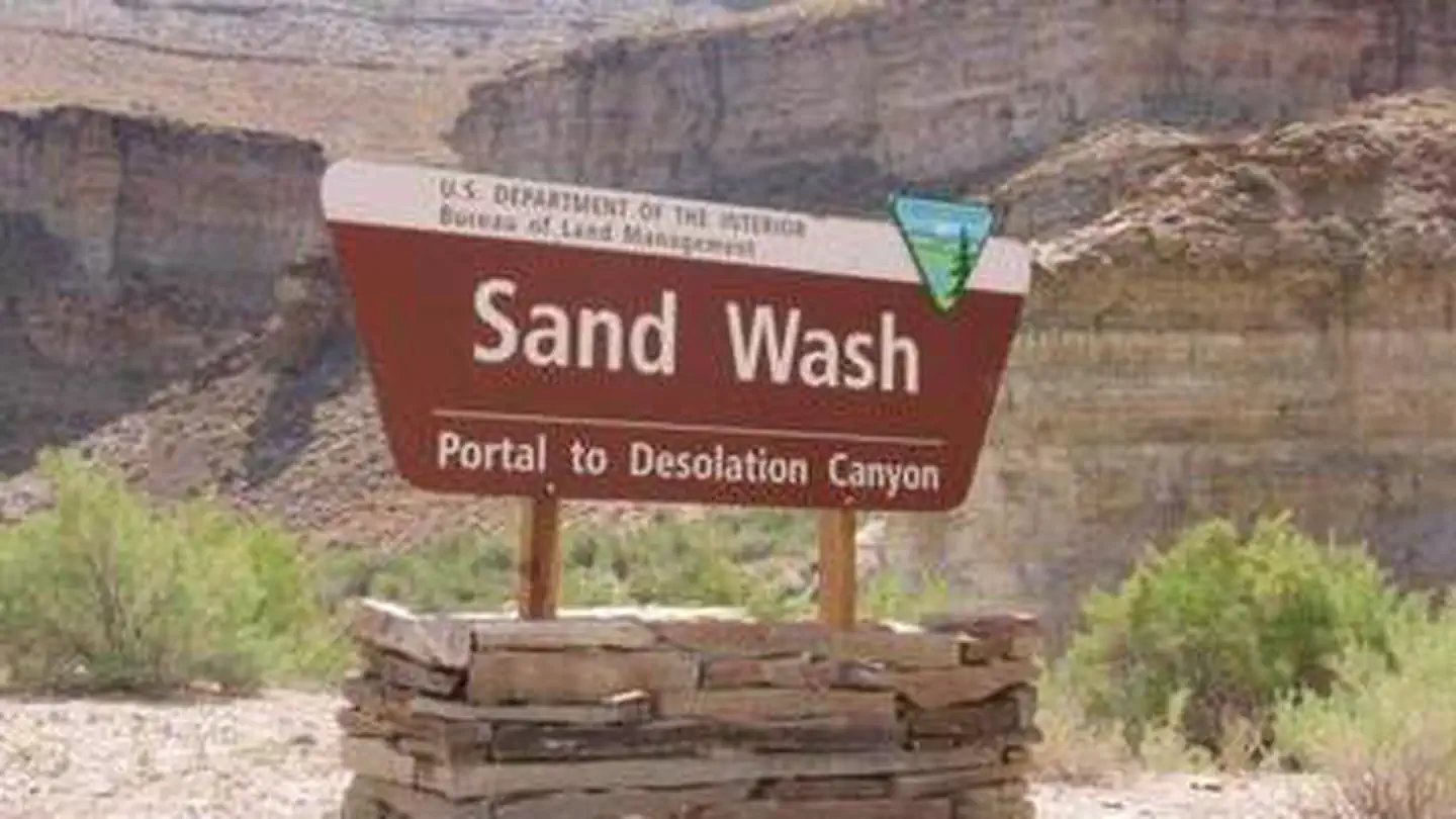 Desolation Gray Canyons Screen CabinsCampground · 4 sites
Overview The Green River splits the 10,000 foot high Tavaputs Plateau to form the rugged canyons of Desolation Gray Canyons.
- Desolation Gray Canyons of the Green RiverFacility · not watchable
Overview The Green River enters Desolation Canyon just north of Sand Wash as it exits the Uinta Basin.
- Devil's Rock Garden Day UseFacility · not watchable
From the parking area social trails wind between the oddly shaped hoodoos and lead to several arches, including Metate Arch.
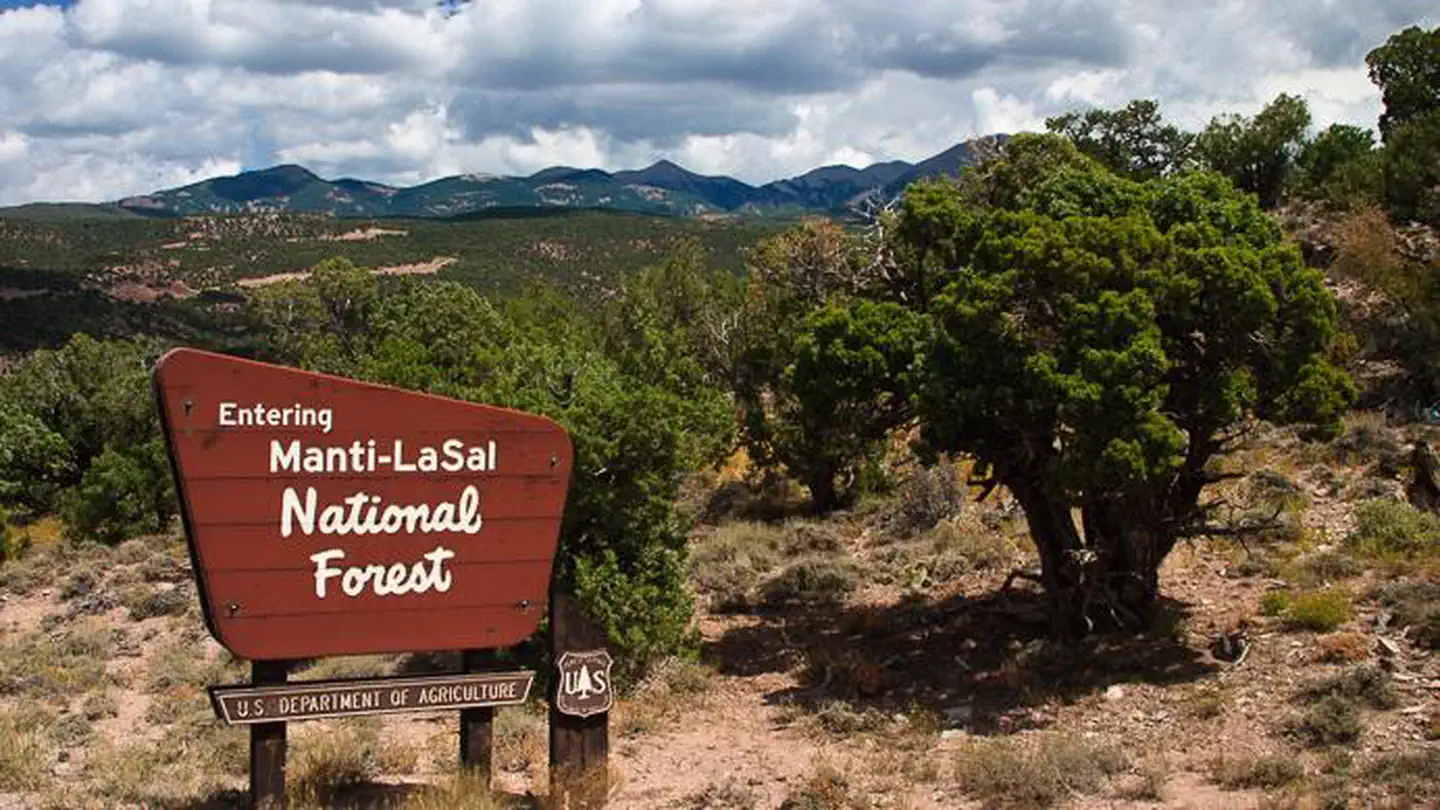 Devils CanyonCampground · 41 sites
Overview Devils Canyon Campground sits in the Manti-LaSal National Forest of southeast Utah at the foot of the Abajo Mountains.
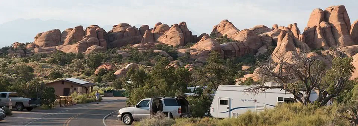 Devils Garden CampgroundCampground · 51 sites
Overview Devils Garden Campground is located deep within the heart of beautiful Arches National Park in Southeastern Utah, at an elevation of approximately…
- Dewey Bridge CampgroundCampground · not watchable
Campsites are located along the banks of the Colorado River looking across to the scenic sandstone "Entrada Bluffs" area.
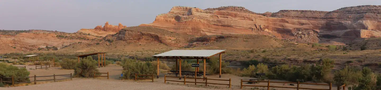 Dewey Bridge Group SitesCampground · 3 sites
Overview The group sites at Dewey Bridge are located along the Colorado River and offer a wonderful retreat for adventurers looking to explore the area.
- Dewey Bridge Recreation SiteFacility · not watchable
Campsites are located along the banks of the Colorado River looking across to the scenic sandstone "Entrada Bluffs" area.
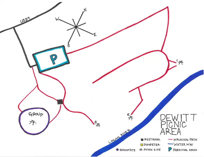 Dewitt Picnic AreaCampground · 4 sites
Overview This picnic area is located in the lower part of scenic Logan Canyon right along the Logan River.
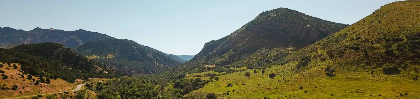 DiamondCampground · 67 sites
Overview Diamond Campground is located among shady cottonwoods and willow at an elevation of 5,200 feet.
- Diamondfield Jack CampgroundCampground · not watchable
Diamondfield Jack Campground and Picnic Area is located at the end of a paved road in Rock Creek.
- Ding and Dang TrailheadFacility · not watchable
Ding and Dang is a technical slot canyon hike located within the Muddy Creek Wilderness Area. Hikers should be experienced and rope is recommended.
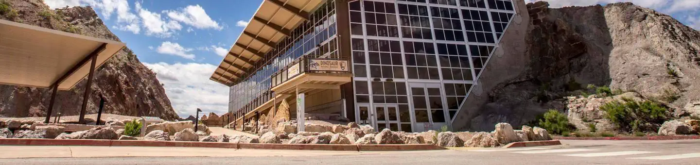 Dinosaur National Monument Quarry TicketsTickets
Due to Covid-19, Dinosaur National Monument will be managing the number of visitors entering the Quarry Exhibit Hall and using the park’s shuttle system.
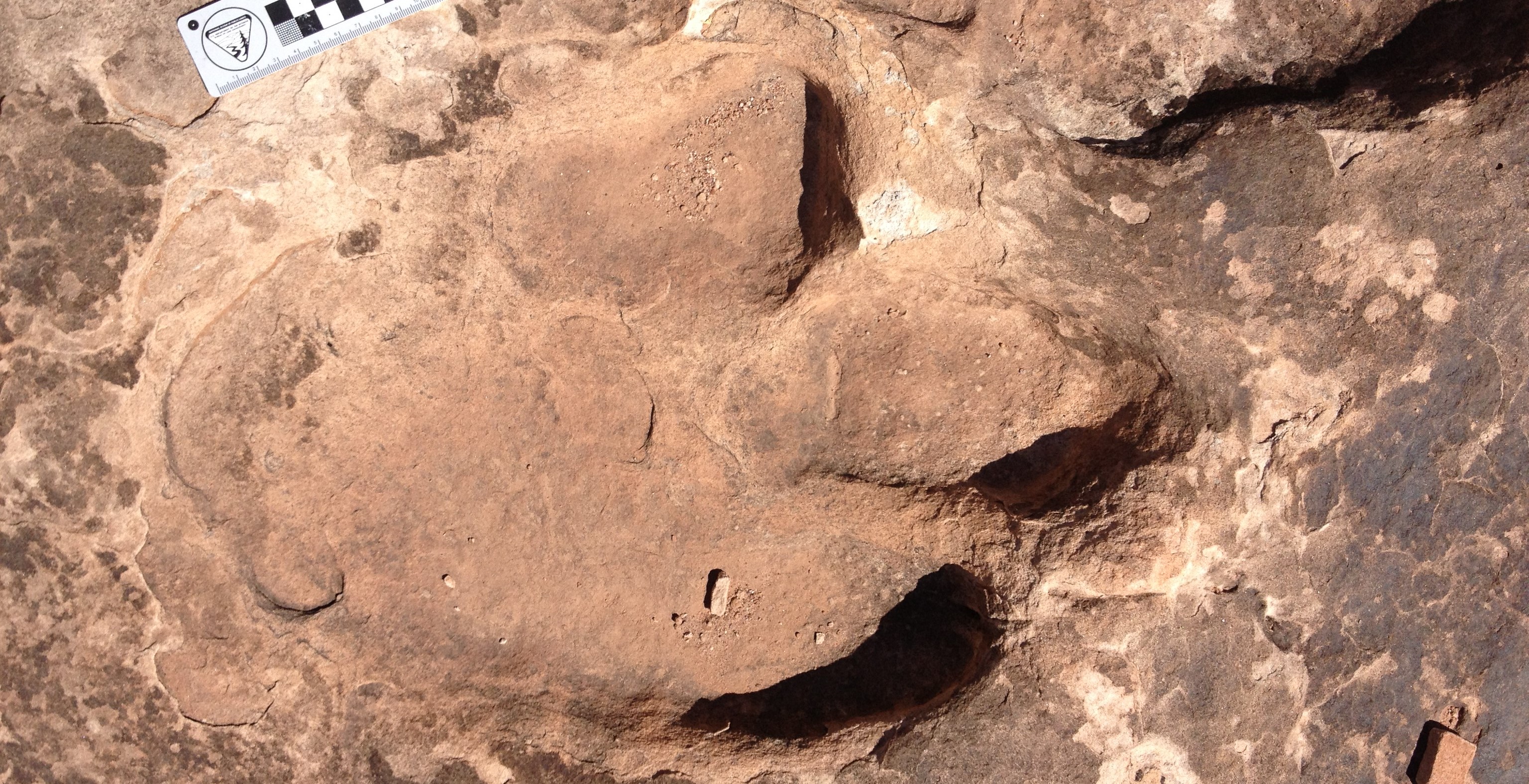 Dinosaur Stomping Grounds TrailheadFacility · not watchable
Located in the Klondike Bluffs area north of Moab, the Dinosaur Stomping Grounds Trailhead leads to an extensive tracksite featuring over 2,000 dinosaur…
- Dinosaur Trackway TrailheadFacility · not watchable
Located among the red slickrock formations referred to as the battleships, the Dinosaur Trackway trailhead provides access to __ miles of hiking and mountain…
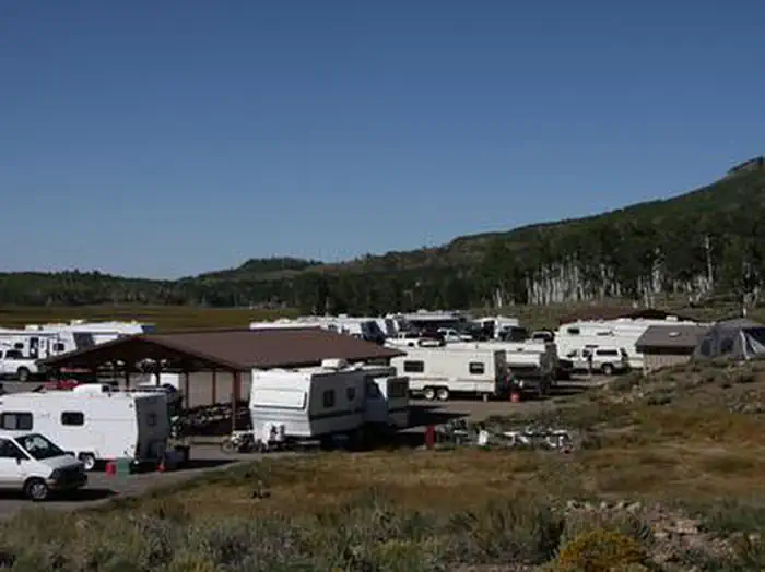 Doctor CreekCampground · 30 sites
Overview Doctor Creek Campground is located next to Fish Lake in the Fishlake National Forest of central Utah.
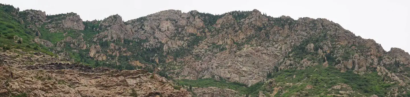 Dogwood Day UseCampground · 7 sites
Overview Dogwood Day Use Picnic Area is just 2 miles up Big Cottonwood Canyon, conveniently close to Salt Lake City.
- Dougherty BasinFacility · not watchable
A fishing lake in the North Creek Lakes area. The Department of Wildlife Resourses of Utah (DWR) stocks this lake with Brook Trout.
- Dowd Mountain OverlookFacility · not watchable
Dowd Mountain is often overlooked as visitors rush to more well-known Flaming Gorge locations.
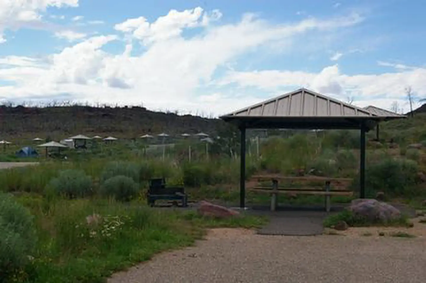 Dripping Springs Campground (Ut)Campground · 26 sites
Overview Dripping Springs Campground is situated at an elevation of 6,000 feet in rolling high desert terrain near Flaming Gorge Reservoir.
- Dry Fork Flume Trailhead 1Facility · not watchable
Along Red Cloud Loop Road, and at the base of Brownie Canyon this is the first trailhead on the West side of the road providing access to the southern end of…
- Dry Fork Flume Trailhead 2Facility · not watchable
Located along Red Cloud Loop Road two miles up Brownie Canyon, this trailhead provides parking, a toilet, an informational kiosk, and access to the Dry Fork…
- Dry Fork Road (Peek-A-Boo and Spooky Gulch)Facility · not watchable
Though popular and well-travelled, these canyons present an outstanding opportunity for individual exploration and discovery.
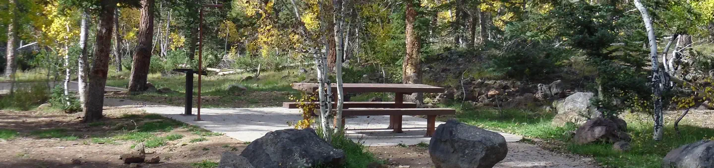 Duck CreekCampground · 95 sites
Overview Duck Creek Campground is located 25 miles east of Cedar City, Utah. Visitors enjoy fishing in Duck Creek Pond and nearby Navajo Lake, exploring the…
- Duck Fork Fishing SiteFacility · not watchable
Duck Fork Reservoir is a 51.2 acre reservoir located in upper Ferron Canyon. The Department of Wildlife Resources of Utah (DWR) stocks this reservoir with…
 Dutch John Draw CampgroundCampground · 1 sites
Overview Dutch John Draw Campground is located within a quiet cove on Flaming Gorge Reservoir at an elevation of 6,000 feet.
- Eagle Crags TrailFacility · not watchable
Recommended Users: Hikers. Route. 2.8 miles in Length. Difficulty: Moderate. From the information kiosk at the trailhead, take the prominent singletrack trail…
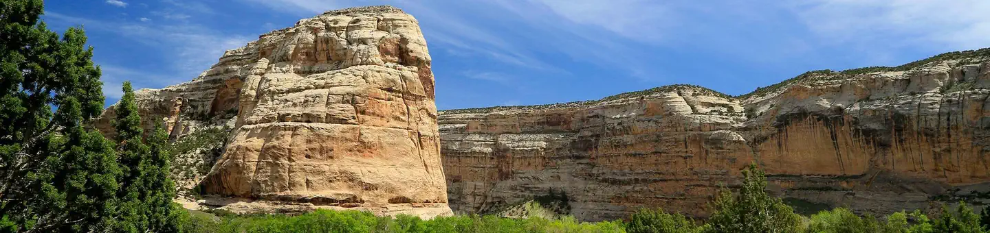 Echo Park CampgroundCampground · 22 sites
Overview Echo Park Campground is located adjacent to the Green River. There are vault toilets, drinking water spigots (seasonal), and a self-pay station.
- Een'oog TrailFacility · not watchable
Activities: Hiking, Biking, Horseback Riding Trail Distance: 0.3 miles (one way) single track Trail Difficulty: Easy Trail Description The Een’oog Trail…
- Elephant Cove Staging AreaFacility · not watchable
The Elephant Cove Staging Area provides a parking and staging location for ATV/UTV enthusiasts interested in exploring the fantastic red-rock scenery and…
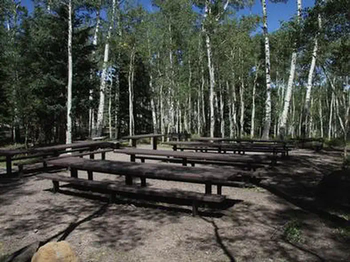 Elkhorn CampgroundCampground · 8 sites
Overview Elkhorn Campground is located 20 miles northeast of Loa, Utah, on the scenic Thousand Lake Mountain at an elevation of approximately 9300 feet.
- Elliot Mesa TrailheadFacility · not watchable
Trailhead kiosk and info is on a road paralleling the Price River. The road up Mount Elliot was originally constructed to get a drilling rig up on Beckworth…
- Elusion TrailFacility · not watchable
Recommended Users: Mountain Bikers, Hikers. Singletrack trail. .16 miles in length. Difficulty: Easy/Easiest.
- Emery Country Visitor CenterFacility · not watchable
Located at the Buckhorn Intersection, picnic tables, pit vault toilets, and a building covered with information and maps about what to do and where to go in…
- Enepitsi TrailFacility · not watchable
Activities: Hiking, Biking, Horseback Riding Trail Distance: 1.5 miles (one way) Trail Difficulty: Easy Trail Description The Enepitsi Trail is an old pioneer…
- Enterprise ReservoirFacility · not watchable
The Enterprise Reservoirs lies within a pinyon-juniper forest surrounded by large volcanic tuff rocks.
- Equestrian CampgroundCampground · not watchable
Located just a few hundred yards downstream of the San Rafael campground, this was built by equestrians for equestrians.
- Escalante Interagency Visitor CenterFacility · not watchable
The Escalante Interagency Visitor Center is one of four visitor centers in the Grand Staircase-Escalante National Monument, each with a different theme.
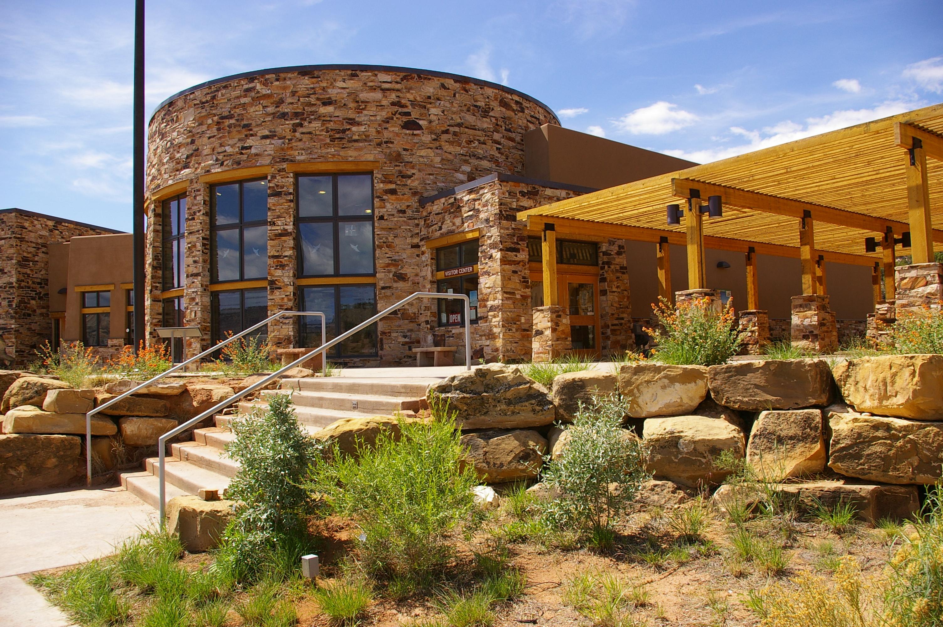 Escalante Interagency Visitor CenterFacility · not watchable
This center is jointly run by Grand Staircase-Escalante National Monument (Bureau of Land Management), Glen Canyon National Recreation Area (National Park…
- Escalante Ranger DistrictFacility · not watchable
The Escalante Ranger district is known for its high mountain lakes and large stands of aspen trees.
- Escalante River GorgeFacility · not watchable
This hike requires multiple river crossings. Explore this lush, shapely canyon as far as you desire and return the same way.
- Farmstead Loop TrailFacility · not watchable
Recommended Users: Equestrians, Hikers, Mountain Bikers. Two-track trail. 0.13 miles in length. Difficulty: Easy/Easiest.
 Ferron ReservoirCampground · 18 sites
Overview Ferron Campground is located next to Ferron Reservoir, a premier alpine lake that is popular with fishermen.
- Ferron Reservoir Campground Ferron NorthCampground · 1 sites
Overview Ferron Reservoir Campground is located just below the ridgeline of the Wasatch Plateau at an elevation of approximatley 9,500 feet.
- Fillmore Ranger DistrictFacility · not watchable
The Fillmore Ranger District encompasses the north west portion of the Forest. The Pahvant Range dominates the east side of the district, with the Canyon…
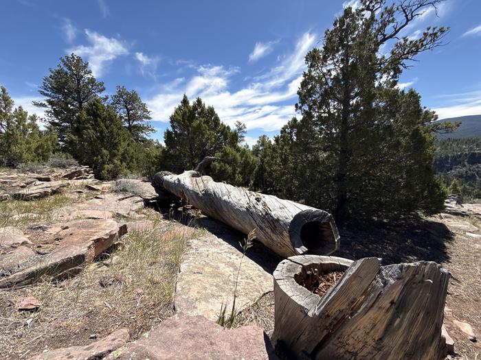 Firefighters CampgroundCampground · 60 sites
Overview Firefighters Campground is just 3 miles from beautiful Flaming Gorge Reservoir, within the Flaming Gorge National Recreation Area on the Ashley…
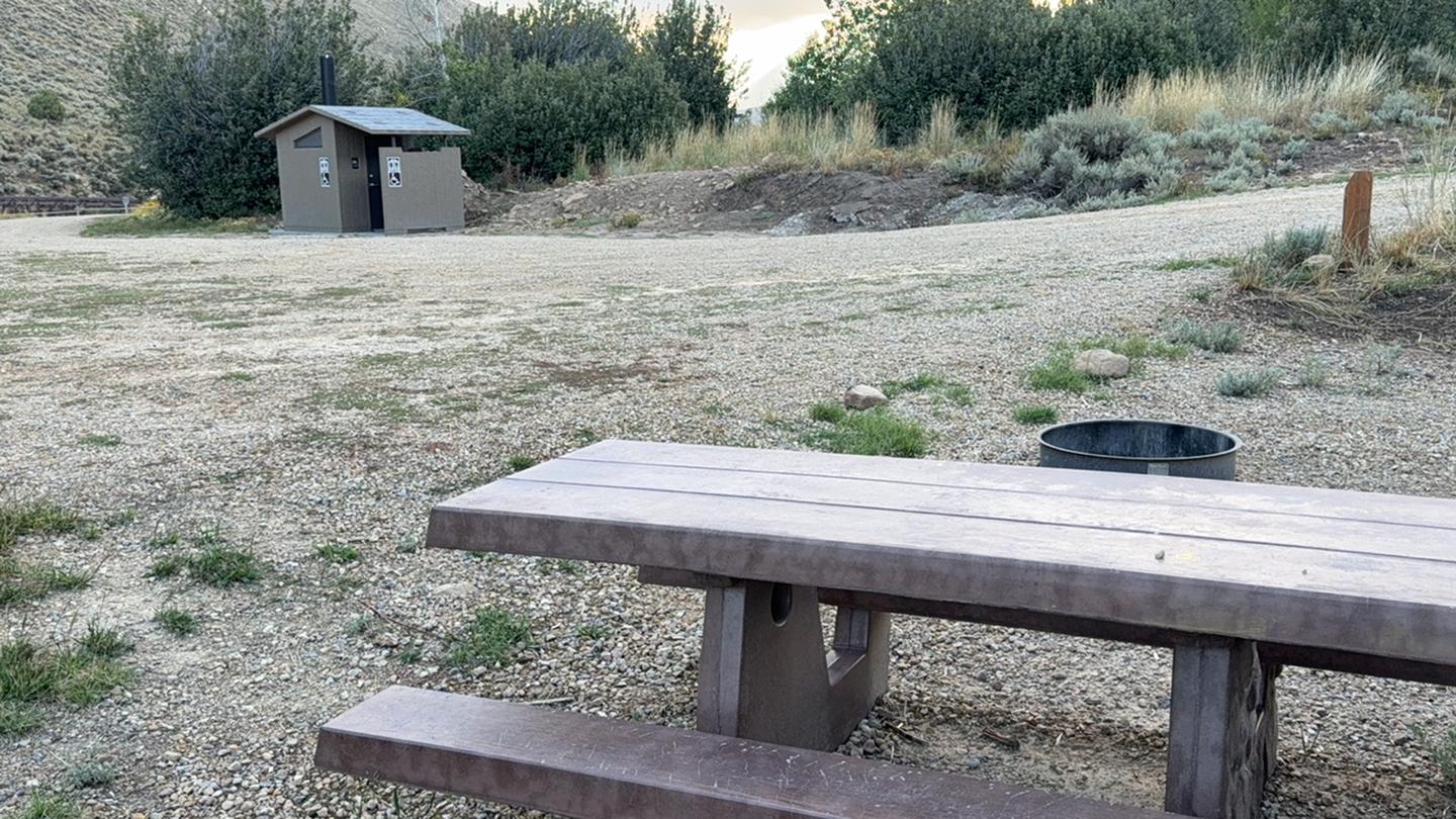 Fish Creek CampgroundCampground · 7 sites
Overview Fish Creek Campground is nestled adjacent to Fish Creek and is the starting point for the 10-mile Fish Creek National Recreation Trail and is just a…
- Fish Creek CoveFacility · not watchable
Otter Creek has an activity for almost everyone. The cold, clear water of this large reservoir offers year-round fishing for rainbow trout.
- Fishhook TrailFacility · not watchable
Activities: Hiking and Biking Trail Distance: 0.3 miles (one way) single track Trail Difficulty: Easy Trail Description The Fishhook Trail begins across the…
- Five Miles of Hell THFacility · not watchable
The San Rafael Swell area is quite unique. There really is no place like it in all of Utah where you can ride your horse, mountain bike, or dirt bike.
- Fivehole Arch THFacility · not watchable
The trailhead is located near Horseshoe Canyon (North) WSA. Dispersed camping is located near the trailhead.
- Flaming Gorge Dam Visitor CenterFacility · not watchable
Flaming Gorge Reservoir was created in 1962 with the completion of the Flaming Gorge Dam on the Green River by the Bureau of Reclamation.
- Flaming Gorge District OfficeFacility · not watchable
Ashley National Forest, Flaming Gorge District Office and Visitor Center in Manila, UT provides information to travelers visiting the Flaming Gorge National…
- Flaming Gorge NRAFacility · not watchable
As one of the most aptly named landscapes in the country, the vast scenery of Flaming Gorge may not fit into your camera.
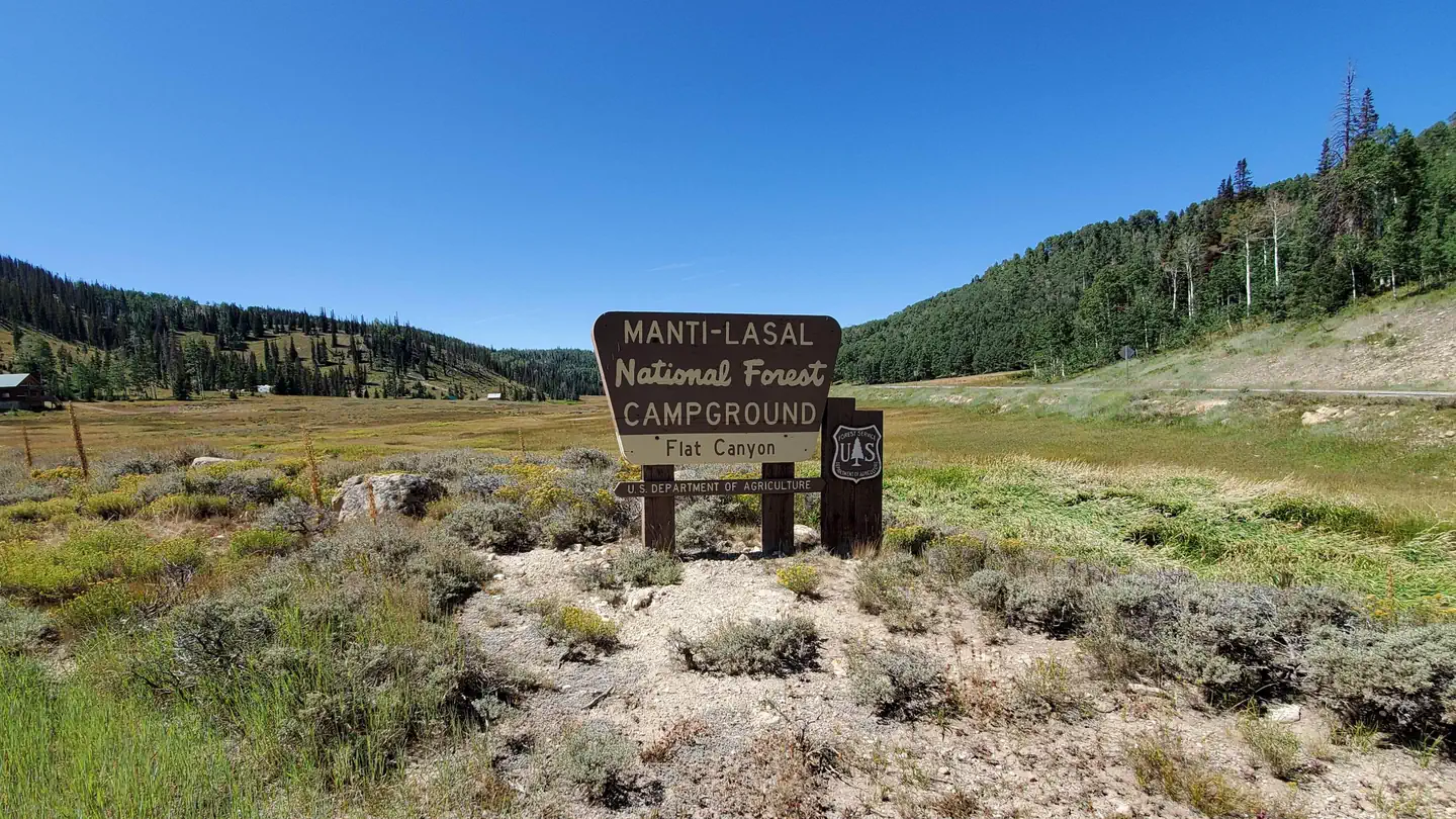 Flat CanyonCampground · 12 sites
Overview Flat Canyon Campground is located high on the Wasatch Plateau, at an elevation of 8,800 feet.
- Flat LakeFacility · not watchable
A small fishing lake in the North Creek Lakes area. The Department of Wildlife Resourses of Utah (DWR) stocks this lake with Brook Trout.
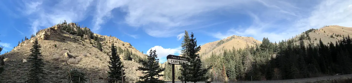 Forks of HuntingtonCampground · 3 sites
Overview Forks of Huntington Campground is located in beautiful Huntington Canyon, along the Huntington Canyon National Scenic Byway on Utah Highway 31.
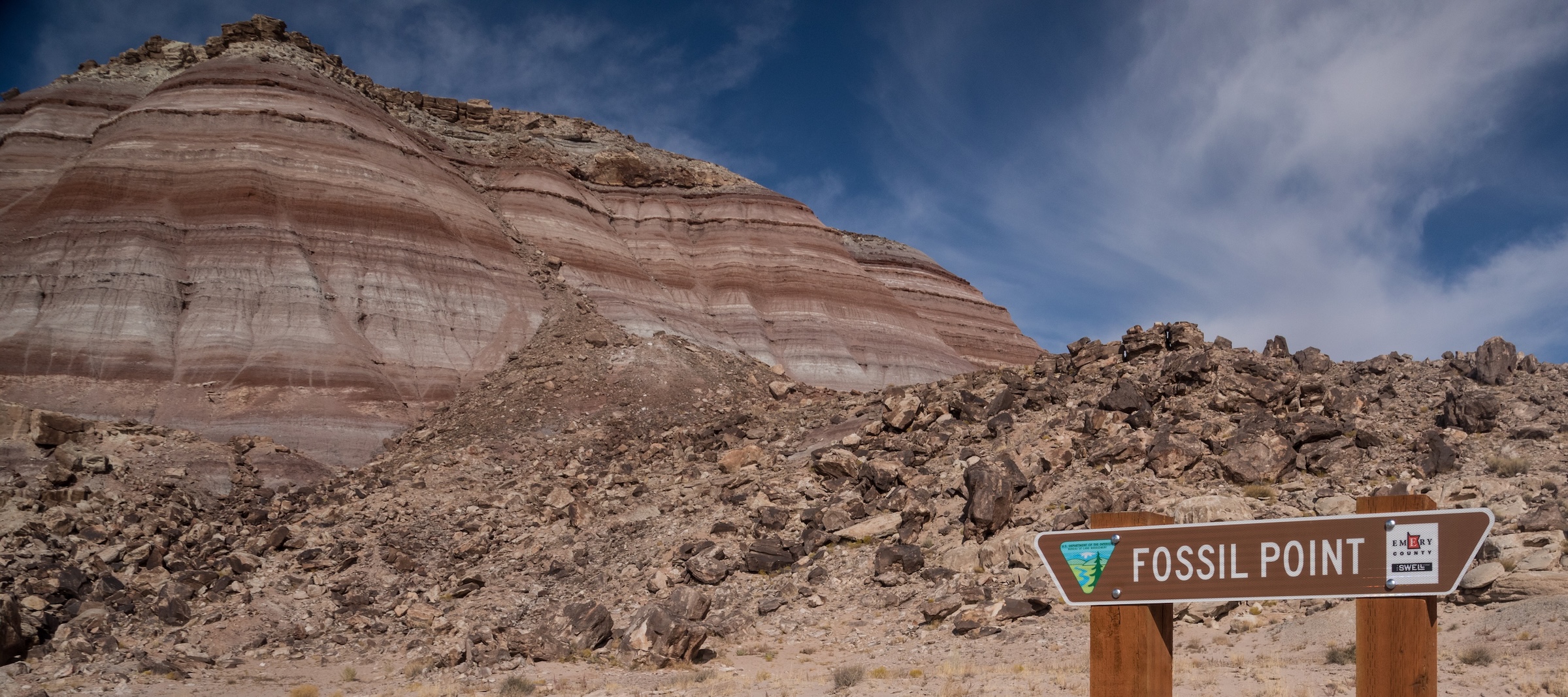 Fossil Point trailheadFacility · not watchable
Fossil Point offers a rare glimpse into the Jurassic period, with exposed dinosaur bones preserved in the Brushy Basin Member of the Morrison Formation…
- Fremont River Ranger DistrictFacility · not watchable
Fish Lake is the big draw on the Fremont River Ranger District, offering anglers a chance to catch MacKinaw, splake, rainbow and yellow perch.
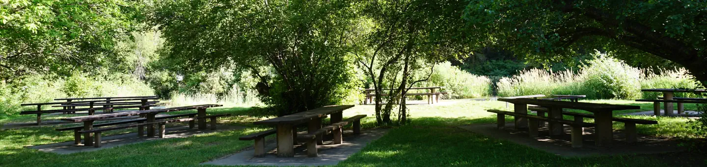 Friendship CampgroundCampground · 6 sites
Overview Friendship Campground is located about 15 miles from Hyrum, Utah, in the mountains of Blacksmith Fork Canyon at an elevation of 5,600 feet.
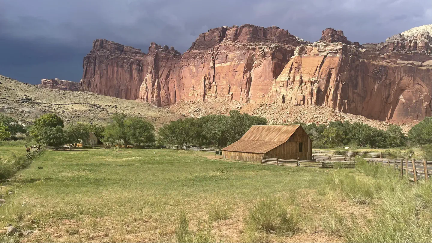 Fruita CampgroundCampground · 65 sites
Overview Located in south-central Utah in the heart of red rock country, Capitol Reef National Park is a hidden treasure filled with cliffs, canyons, domes and…
 Frying PanCampground · 11 sites
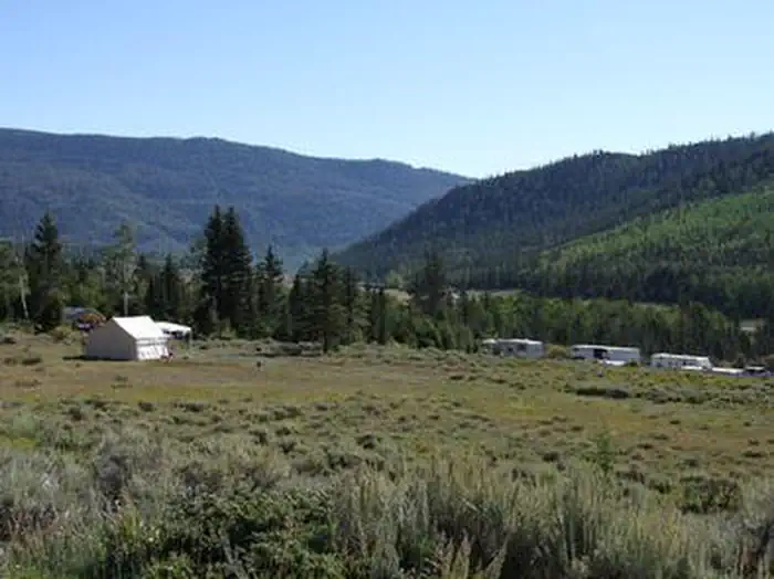
Overview Frying Pan Campground is located on the Fishlake Scenic Byway in central Utah, just 3 miles north of Fish Lake, at an elevation of 9,000 feet.
- Fullers Bottom TrailheadFacility · not watchable
Fullers Bottom trailhead serves as the put in for those wishing to hike or float through the Little Grand Canyon.
- Furniture Draw THFacility · not watchable
Closest slot canyon to Price, if you don’t have time to drive to Little Wild Horse or Chute Canyons, this might do the trick.
- Gemini Bridges TrailheadFacility · not watchable
Gemini Bridges is one of the unique geologic features of the Moab area that shouldn’t be missed.
 Gold Bar Group SitesCampground · 4 sites
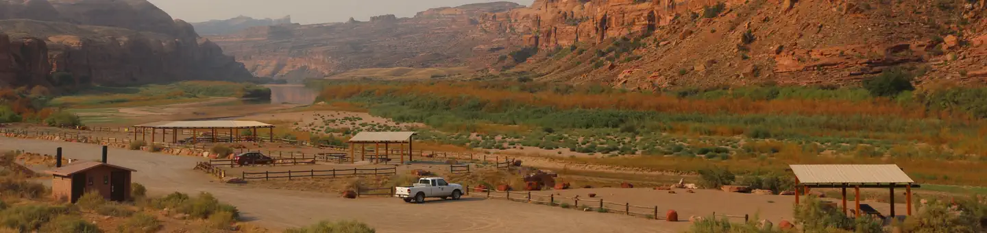
Overview The four group sites at Gold Bar are located along the Colorado River and are ideal for large gatherings such as school groups or family reunions.
- Gold Bar Recreation SiteFacility · not watchable
Gold Bar Recreation Site is located along the Colorado River, west of Moab, Utah. The site includes a boat ramp, beach, individual campsites, group campsites,…
 Golden Spike Commemorative Event Tickets 2021Timed entry
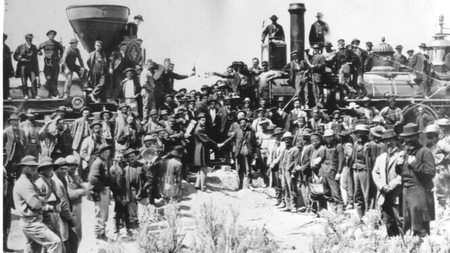
The world changed here. On May 10, 1869 one of the greatest technological achievements of the 19th century, the completion of the first transcontinental…
 Golden Spike Winter Locomotive Demonstration Tickets 2020Tickets
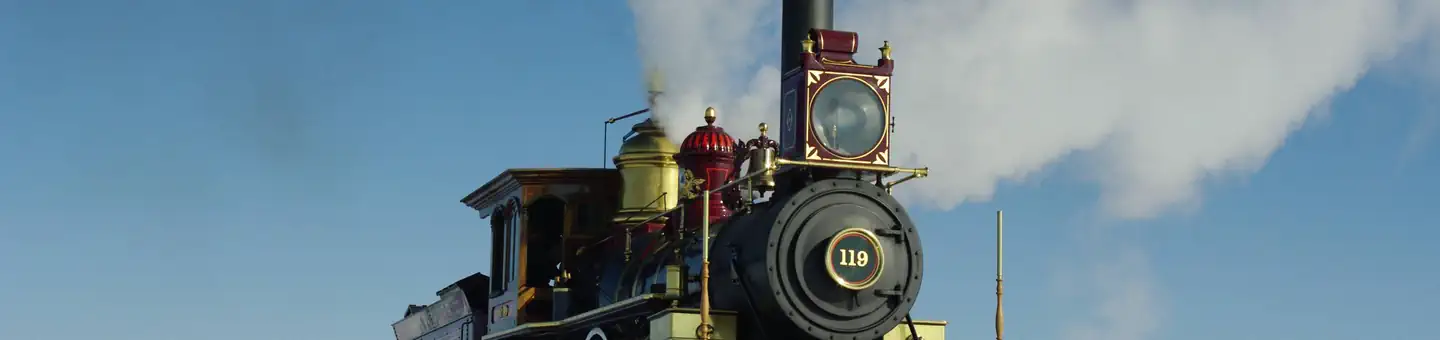
The world changed here. On May 10, 1869 one of the greatest technological achievements of the 19th century, the completion of the first transcontinental…
- Goose Island CampgroundCampground · not watchable
Riverside camping for tents, RV's and trailers. Individual sites are available on a first-come, first-serve basis.
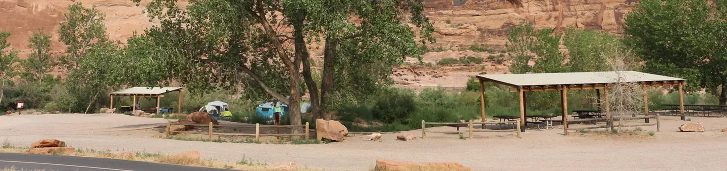 Goose Island Group SitesCampground · 2 sites
Overview The two sites at Goose Island are ideal for groups wishing to be close to the town of Moab and Arches National Park.
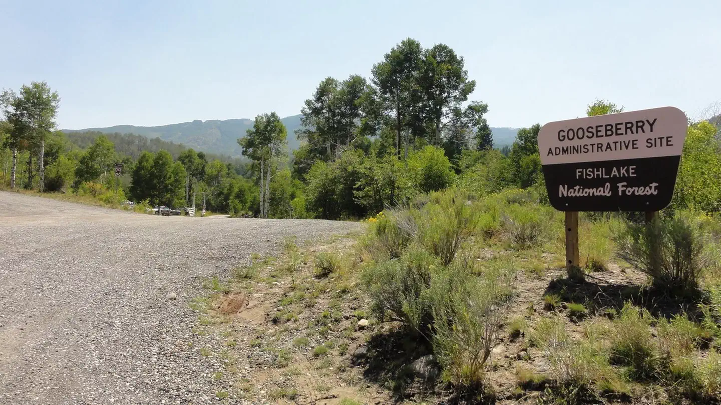 Gooseberry Admin Site CabinsCampground · 1 sites
Overview Gooseberry Administrative Site Cabins are located just 18 miles from Salina Utah.
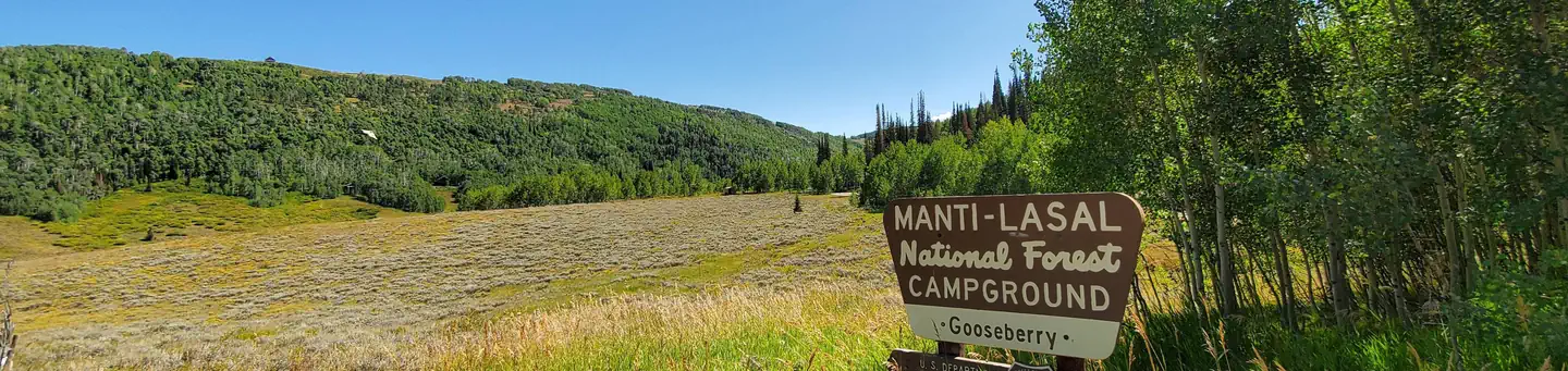 Gooseberry Creek CampgroundCampground · 9 sites
Overview Gooseberry Group Campground is located on an aspen-covered hillside above Gooseberry Reservoir, at an elevation of 8,500 feet.
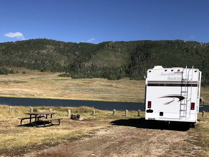 Gooseberry ReservoirCampground · 8 sites
Overview Gooseberry Reservoir Campground is located in a scenic mountain valley in an open meadow next to Gooseberry Reservoir.
- Goosebumps TrailFacility · not watchable
Recommended Users: Mountain Bikers, Hikers. Singletrack trail. 3.5 miles in length. Difficulty: Moderate/More Difficult.
- Gordon Creek TrailheadFacility · not watchable
The Gordon Creek Trail is a 52” ATV trail with two waterfalls and an abandoned cabin.
- Gould's Rim TrailFacility · not watchable
Recommended Users: Mountain Bikers, Hikers. Singletrack trail. 3 miles in length. Difficulty: Moderate/Easiest.
- Gould's TrailFacility · not watchable
Recommended Users: Mountain Bikers, Hikers. Singletrack trail. 2.4 miles in length. Difficulty: Moderate/Easiest.
- Grandstaff CampgroundCampground · not watchable
Riverside camping designed for tents only. Individual sites are available on a first-come, first-serve basis.
- Grandstaff Canyon TrailheadFacility · not watchable
The Grandstaff Canyon Trail was selected as a National Recreation Trail on October 22, 2020.
 Granite Flat (Utah)Campground · 52 sites
Overview Granite Flat Campground is located a short distance up scenic American Fork Canyon, less than a mile from Tibble Fork Reservoir.
- Grassy Lake Fishing SiteFacility · not watchable
Grassy Lake is a 10.7 acre lake located 2.1 miles off of Ephraim/Orangeville Road in Littles Canyon.
- Green LakeFacility · not watchable
A small boulder rimmed lake near Deer Creek Lake. Hike the Deer Creek Lake Trail # 015 and 048 then follow the faint unmaintained trail that leads to Green…
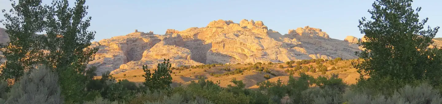 Green River CampgroundCampground · 80 sites
Overview The Green River Campground is located along the banks of the Green River at an elevation of 4,750 feet (1448 m).
- Green River Chamber of Commerce Visitor CenterFacility · not watchable
The Green River Chamber of Commerce Visitor Center in Green River Wyoming is located at 1155 West Flaming Gorge Way.
 Green River Float-in CampsitesCampground · 17 sites
Overview Take a step back in time and traverse the same scenic wonders that explorers such as John Wesley Powell and William Ashley once explored.
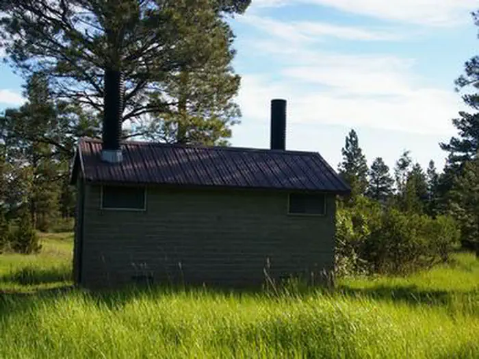 GreendaleCampground · 10 sites
Overview Greendale Campground is located in the beautiful Flaming Gorge National Recreation Area on the Ashley National Forest at an elevation of 6,900 feet.
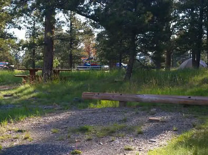 Greens LakeCampground · 20 sites
Overview Greens Lake Campground is located next to its scenic namesake along Red Canyon Road at an elevation of 7,400 feet.
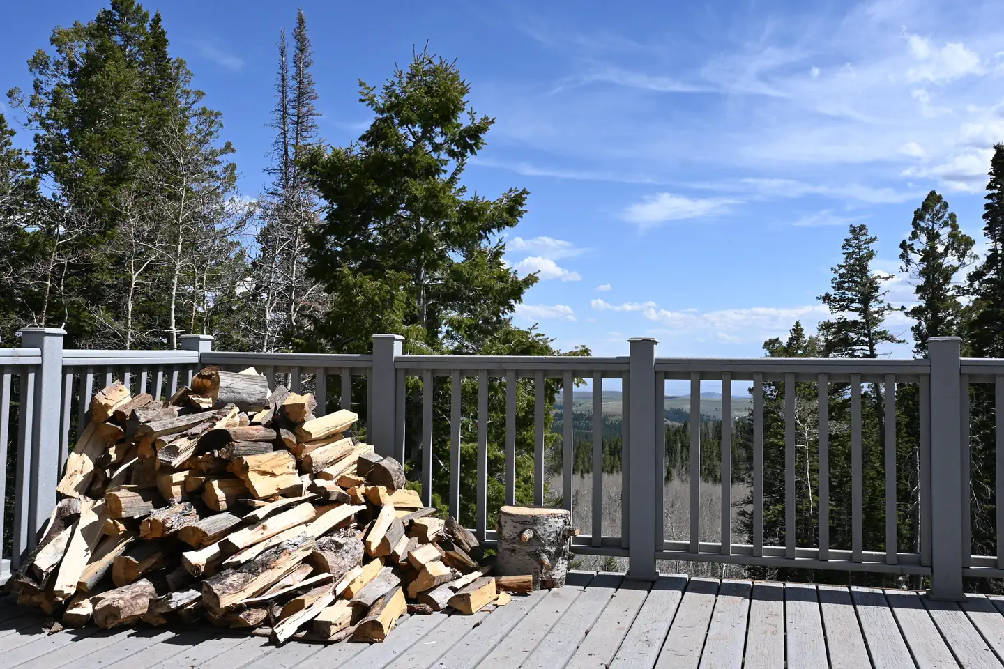 Grizzly Ridge YurtCampground · 1 sites
Overview Grizzly Ridge Yurt is located on the Ashley National Forest, approximately 20 air miles north of Vernal in eastern Utah.
- Grubstake TrailFacility · not watchable
Recommended Users: Mountain Bikers, Hikers, Equestrians. Two-track trail. 0.2 miles. Difficulty: Easy/Easiest.
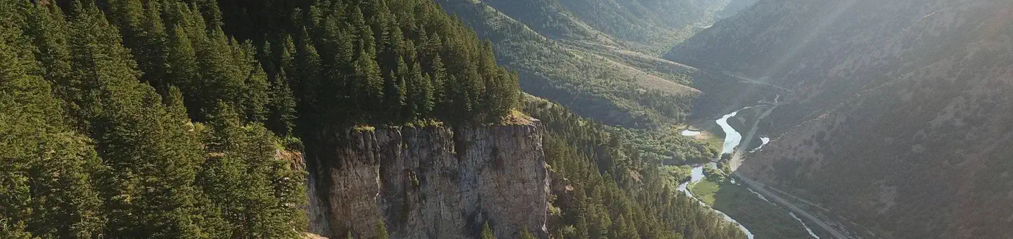 GuinavahCampground · 42 sites
Overview Guinavah Campground is situated on the banks of the Logan River just 5 miles east of Logan, Utah, in scenic Logan Canyon.
- Gunnison Reservoir Day Use SiteFacility · not watchable
Gunnison Reservoir is located northeast of the town of Gunnison and access from public land is available on the west side.
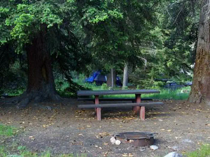 HadesCampground · 14 sites
Overview Hades Campground is nestled in the scenic North Fork Drainage off Highway 35, about 17 miles from Tabiona, Utah.
- Hal Canyon CampgroundCampground · not watchable
Campsites tucked along the "Big Bend" in the Colorado River Canyon. Individual sites are available on a first-come, first-serve basis.
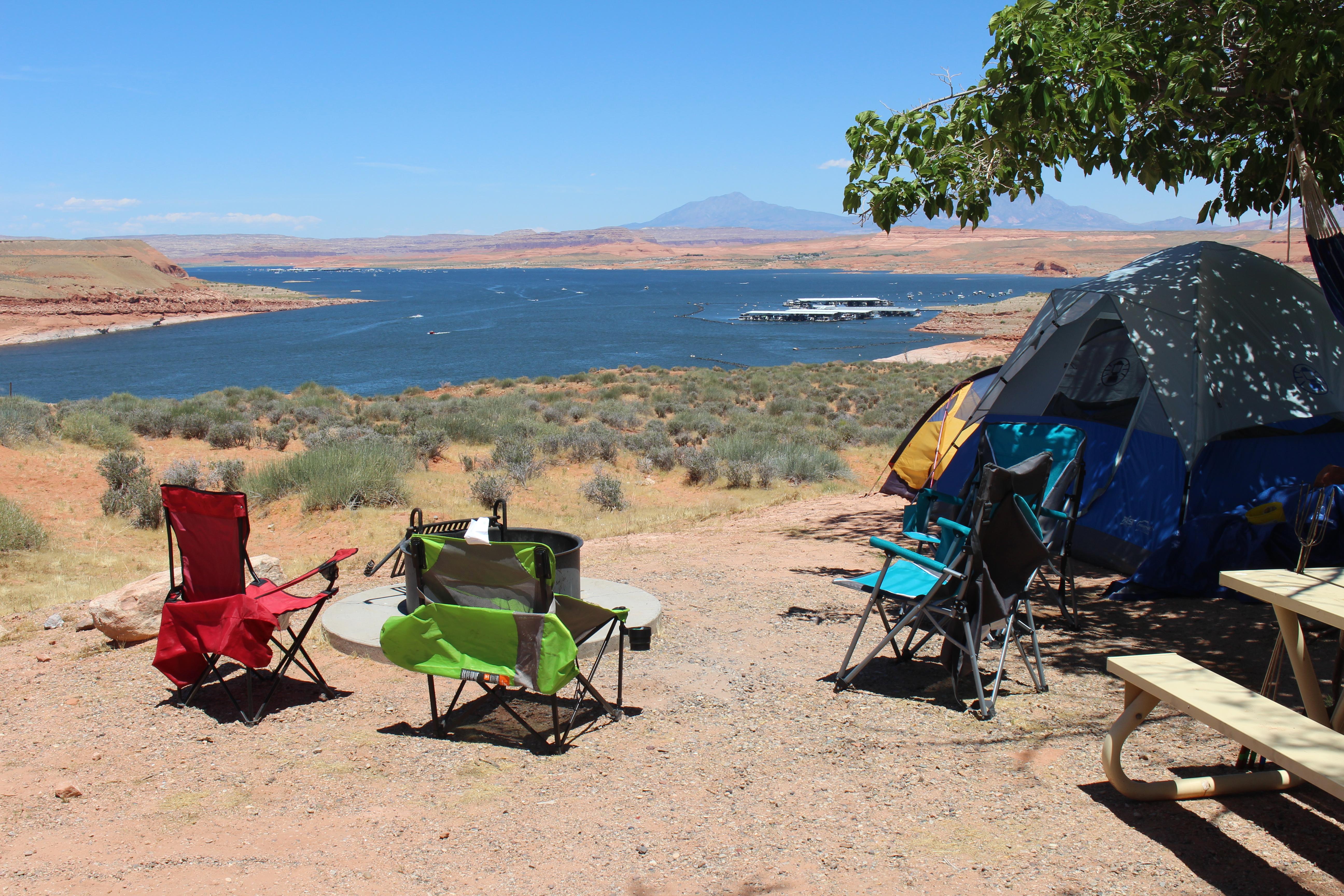 Halls Crossing RV & CampgroundCampground · not watchable
This campground is operated by Lake Powell Resorts & Marinas. With Halls Crossing RV Park & Campground, you're just steps from food, fun, and the Village…
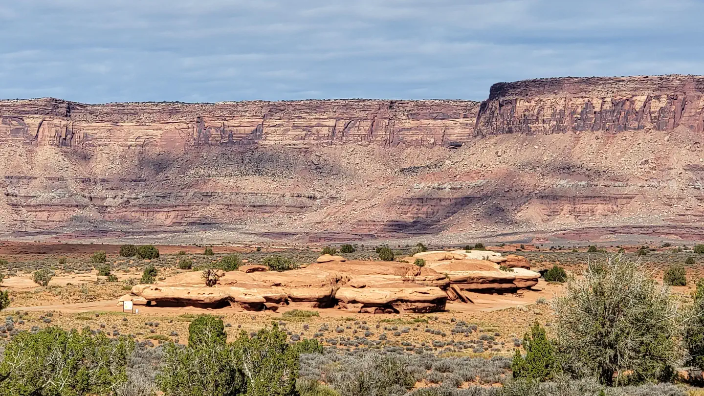 Hamburger Rock CampgroundCampground · 10 sites
Overview Hamburger Rock Campground is a good option for visitors wishing to recreate in the Indian Creek area of Bears Ears National Monument or be close to…
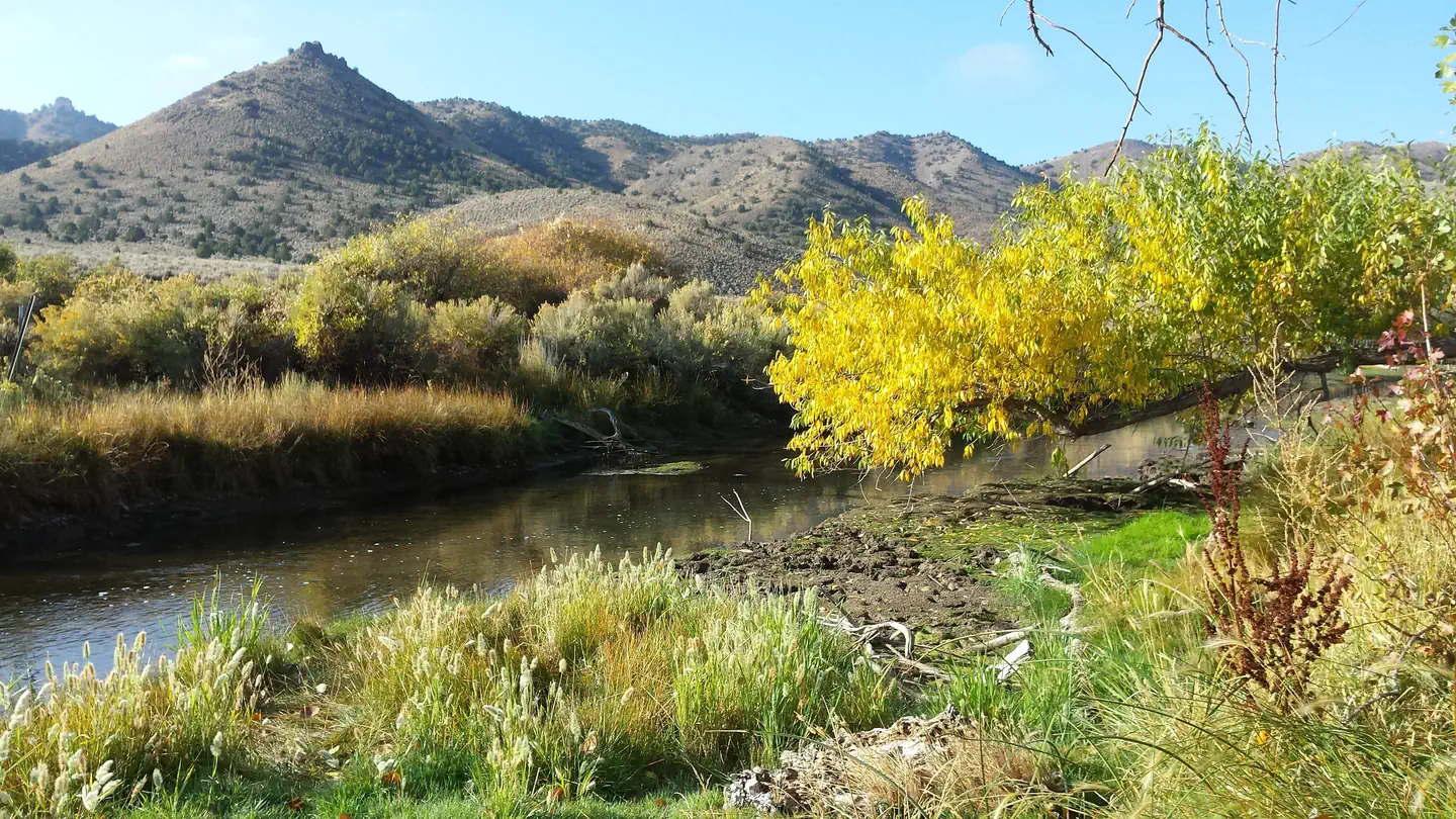 Hanging Rock CampgroundCampground · 6 sites
Overview Hanging Rock Campground is located just off of Highway 21 between the towns of Beaver and Minerville, UT.
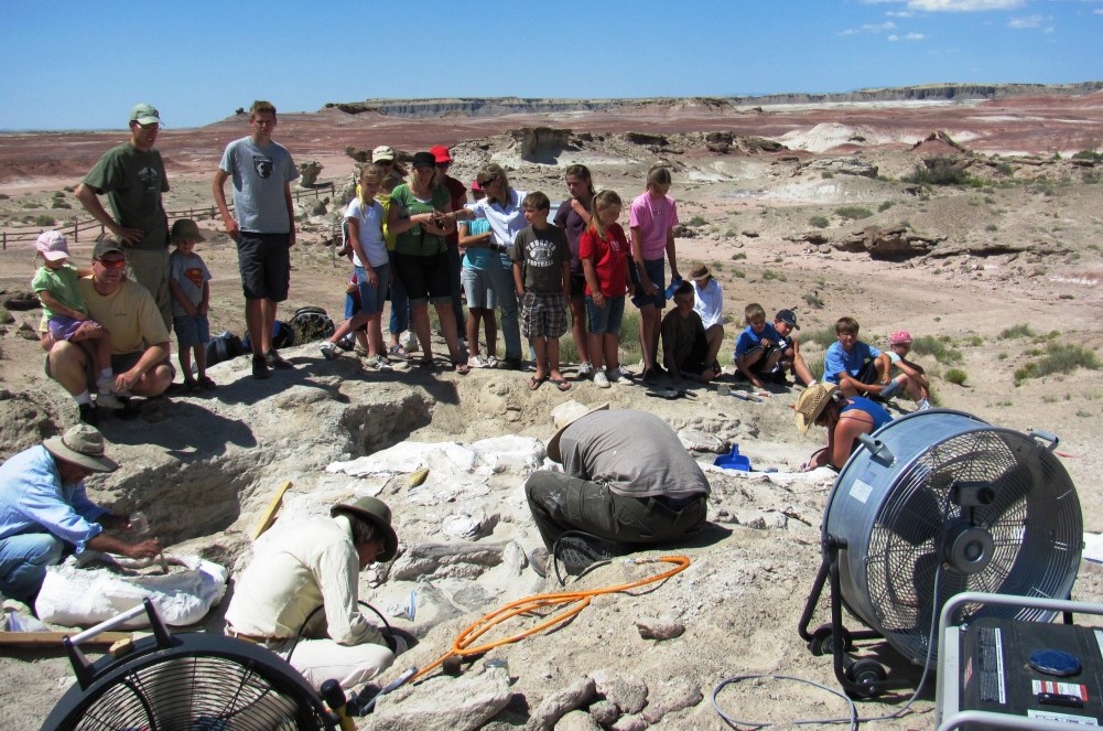 Hanksville-Burpee Dinosaur QuarryFacility · not watchable
The Hanksville Burpee Dinosaur Quarry is a significant Late Jurassic dinosaur bonebed located near Hanksville, Utah.
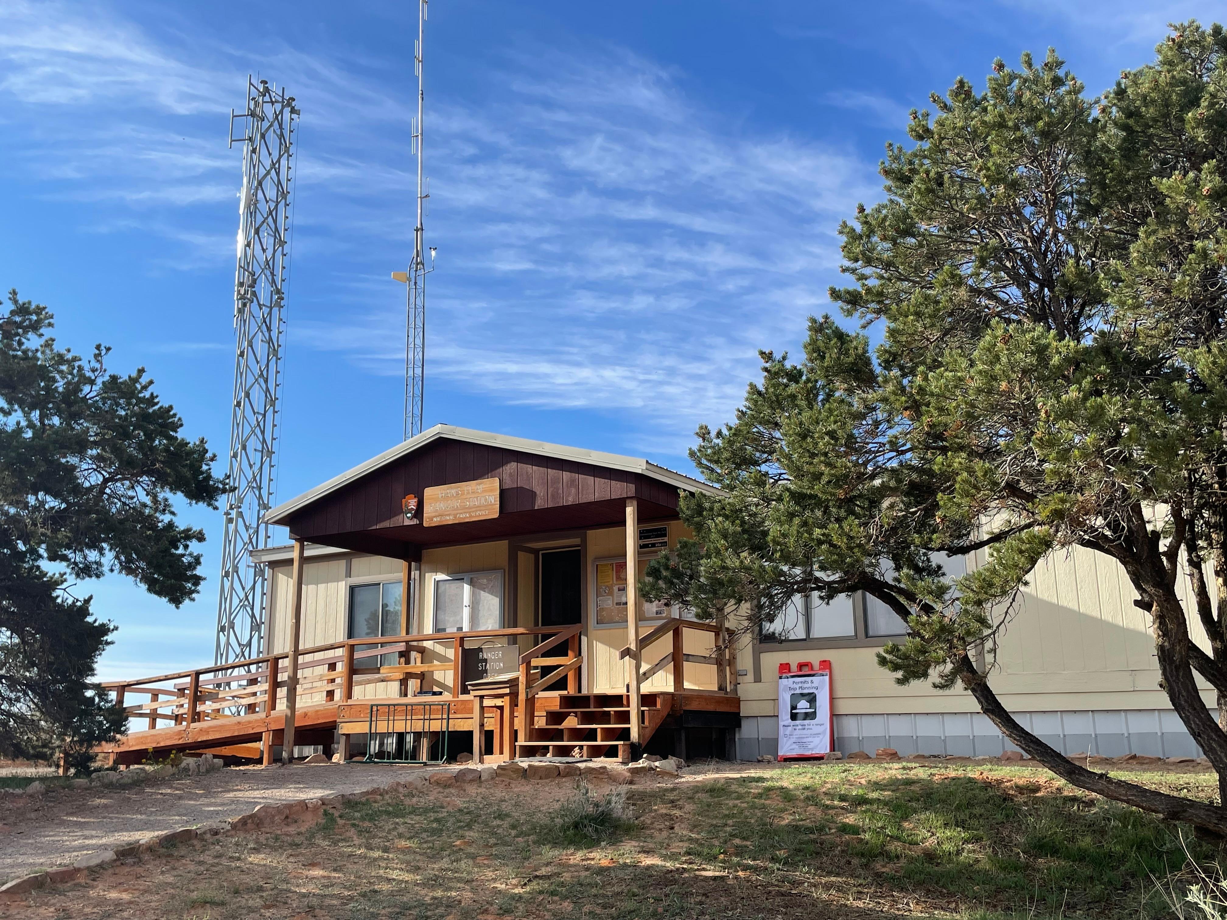 Hans Flat Ranger StationFacility · not watchable
The remote Hans Flat (Maze) Ranger Station is normally open daily year-round. This ranger contact station has a picnic table and vault toilet, and a small…
- Harrington Fork Picnic AreaFacility · not watchable
Harrington Fork Picnic Area is accessible for a season that varies usually between April and October. The picnic area is fully accessible.
 Hatch Point CampgroundCampground · 10 sites
Overview Hatch Point Campground is located 56 miles southwest of Moab. The campground is situated on a mesa top which offers fine views of the surrounding…
- Hatch Point CampgroundCampground · not watchable
Hatch Point Campground is located 56 miles southwest of Moab. To reach the campground drive 32 miles south of Moab on Highway 191 to the Canyon Rims Recreation…
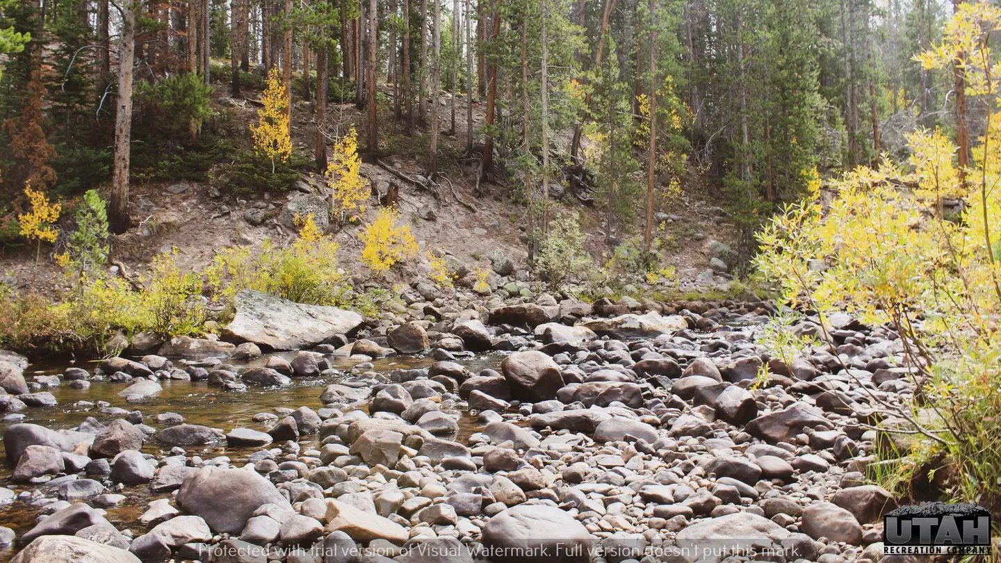 Hayden Fork CampgroundCampground · 9 sites
Overview Hayden Fork Campground is located 40 miles from Evanston, Wyoming, just off the Mirror Lake Scenic Byway at an elevation of 8,800 feet.
- Head of SinbadFacility · not watchable
Located within the heart of the San Rafael swell is the geological feature known as Locomotive point.
- Hidden Canyon TrailFacility · not watchable
Recommended Users: Mountain Bikers, Hikers. Singletrack trail. 1.9 miles in length. Difficulty: Most Difficult. Hidden Canyon is aptly named.
- Hidden Splendor TrailheadFacility · not watchable
Hidden Splendor was the sight of a historic uranium mine. Remains of the mine can still be seen today.
- Hidden Valley TrailFacility · not watchable
The Hidden Valley Trail is a strenuous hike up a rough trail to a spectacular hanging valley hundreds of feet above the valley floor of Moab, Utah.
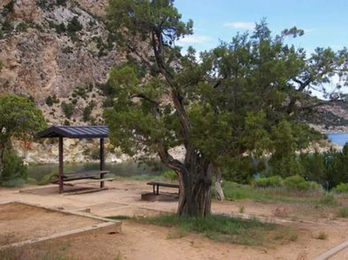 Hideout Canyon Boat-in CampgroundCampground · 18 sites
Overview Hideout Canyon Boat-In Campground is located on beautiful Flaming Gorge Reservoir, 2 miles from the nearest road.
- High Grade TrailFacility · not watchable
Recommended Users: Mountain Bikers, Hikers. Singletrack trail. 0.42 miles in length. Difficulty: Easy/Easiest.
 Hittle Bottom Group SiteCampground · 1 sites
Overview Hittle Bottom Campground is located on the banks of the Colorado River and is a popular launch site for river trips.
- Hittle Bottom Recreation SiteFacility · not watchable
Hittle Bottom Recreation Site is located along the banks of the Colorado River, offering sweeping vistas of the river canyon, Fisher Towers, and striking red…
- Hog Canyon East KioskFacility · not watchable
The Hog Canyon East Kiosk is simply that. The only thing you’ll find here is a Kanab Field Office Transportation Map and a small corral.
- Hog Canyon West KioskFacility · not watchable
The Hog Canyon West Kiosk is used as a staging area to access the Hog Canyon OHV System.
 Hole in the Rock TrailFacility · not watchable
The Hole-in-the-Rock Trail extends from the town of Escalante across the gorge of the Colorado River and through very rugged canyon country to the town of…
 Honeysuckle CampgroundCampground · 1 sites
Overview Honeysuckle Campground is situated in a remote, wooded setting at the confluence of Deception Creek and the Little North Fork of the Coeur d’Alene…
 HopeCampground · 23 sites
Overview Hope Campground is located near Provo Canyon along Squaw Peak Road at an elevation of 6,500 feet.
- Horse Valley Peak LoopFacility · not watchable
The Smith Canyon road travels through lush vegetation and follows the creek-bed several miles.
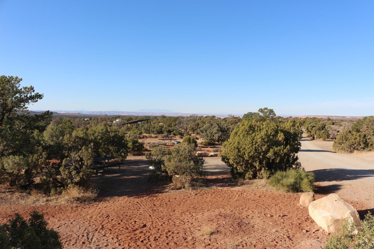 Horsethief CampgroundCampground · not watchable
Campsites are tucked in the pygmy pinyon-juniper forest on the mesas above Moab, yet offer great views.
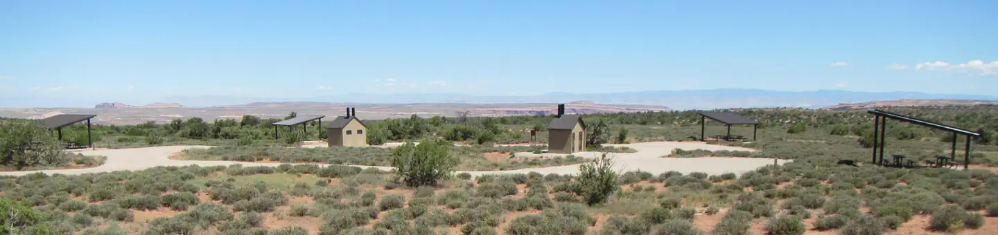 Horsethief Group SitesCampground · 5 sites
Overview The five reservable Horsethief Group Sites are ideal for smaller gatherings (10-20 people & 6 sedans/trucks/vans only---no trailers or RVs).
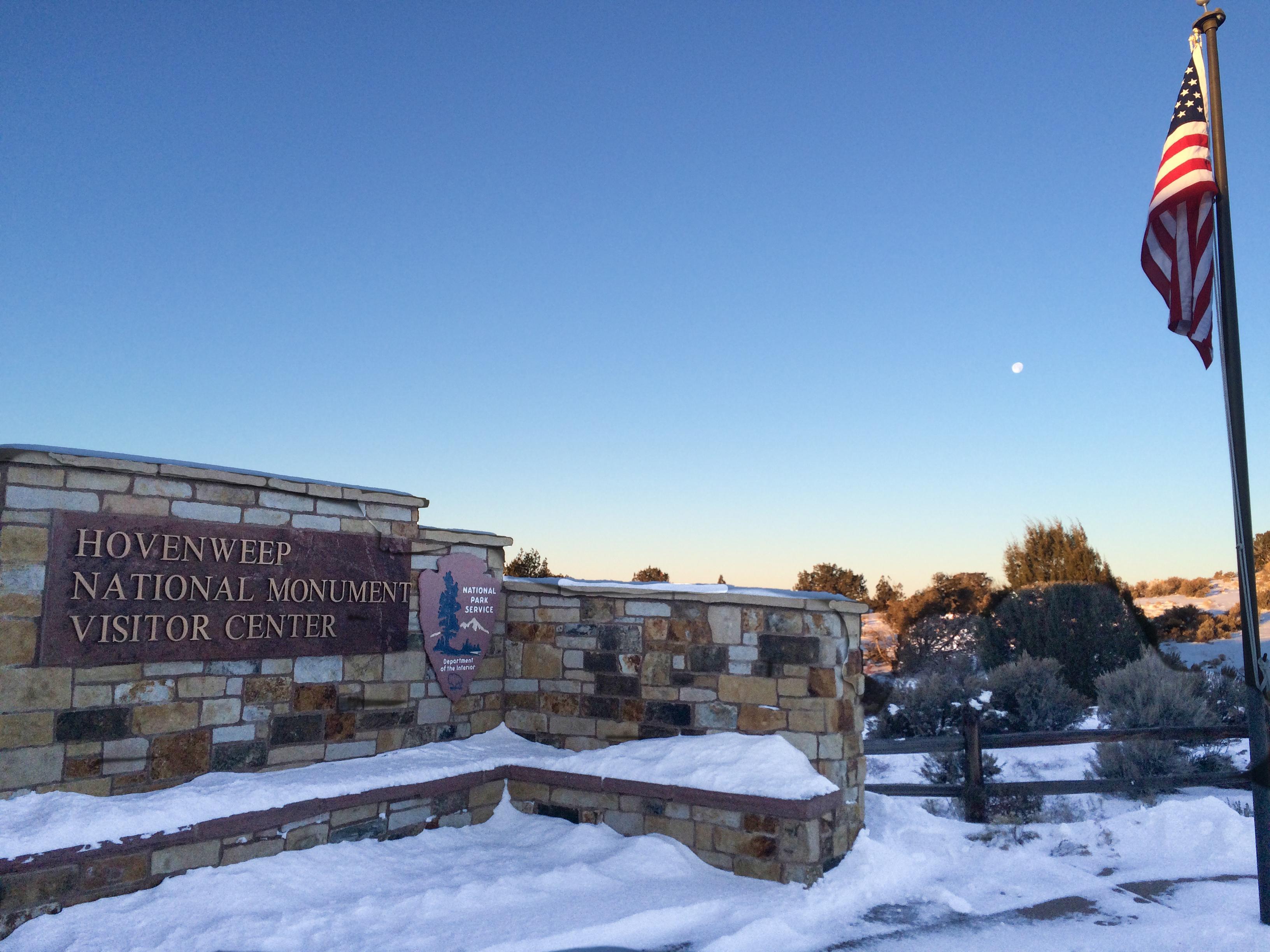 Hovenweep Visitor CenterFacility · not watchable
You can visit Hovenweep even when the visitor center is closed. When it is open, rangers or volunteers can answer questions and sell bookstore items.
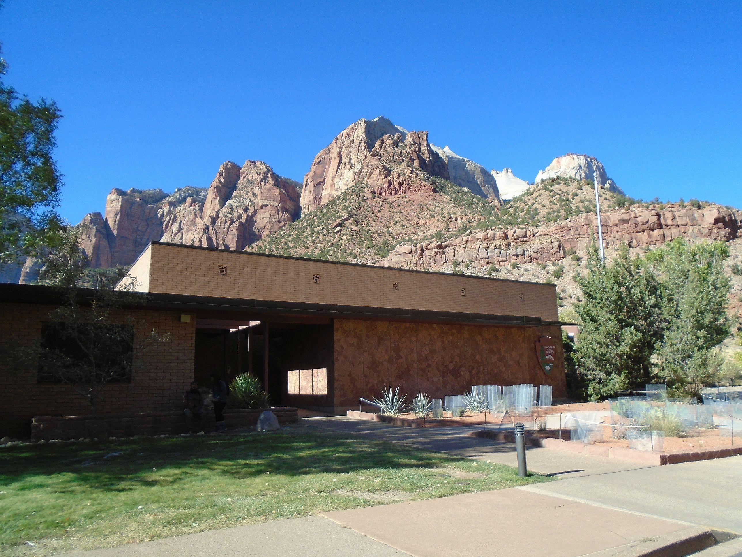 Human History MuseumVisitor Center · not watchable
Immerse yourself in the human history of Zion National Park! Rangers staff an information desk during operating hours.
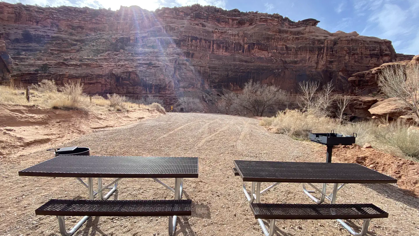 Hunter Canyon Group SiteCampground · 1 sites
Overview The Hunter Canyon Group Site is ideal for visitors looking to explore the Hunter Canyon trail and access popular rock-climbing routes in the area.
- Hunter Canyon TrailheadFacility · not watchable
Length of Hike: 2 miles one-way; allow 4 hours’ round trip. Type of Hike: Canyon bottom. Only hikers are allowed on this trail -- no mountain bikes allowed.
- Huntington Canyon Recreation AreaFacility · not watchable
Traveling over the Wasatch Plateau between the towns of Fairview and Huntington, the Huntington Canyon Scenic Byway makes up half of the Energy Loop, a…
- Independence Lakes CampgroundCampground · not watchable
Independence Lake Campground and Picnic Area is a non-fee campground and picnic area where reservations are not required. There are 5 single sites.
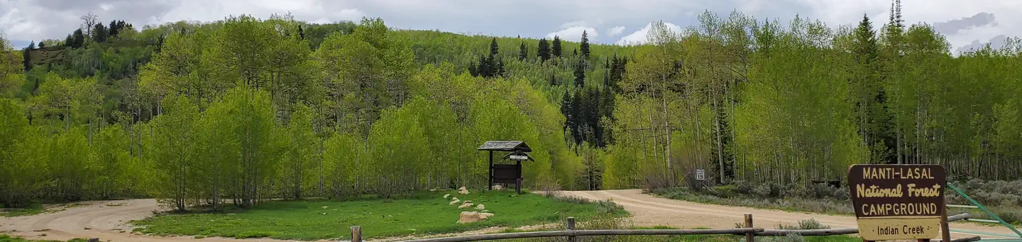 Indian Creek (Ut)Campground · 7 sites
Overview Indian Creek Campground is located in a high mountain valley surrounded by beautiful peaks, at an elevation of 8,000 feet.
 Indian Creek Falls Group SiteCampground · 1 sites
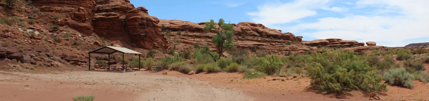
Overview The Indian Creek Falls Group Site is ideal for groups wishing to recreate in the Indian Creek Corridor or to be close to Canyonlands National Park.
 Indian Creek Guard StationCampground · 1 sites
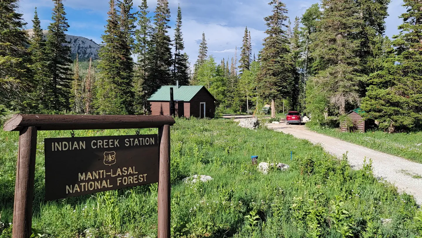
Overview Indian Creek Guard Station is located next to Ferron Reservoir, just below the Wasatch Plateau on the Manti-La Sal National Forest in central Utah.
 Indian Crossing CampgroundCampground · 21 sites
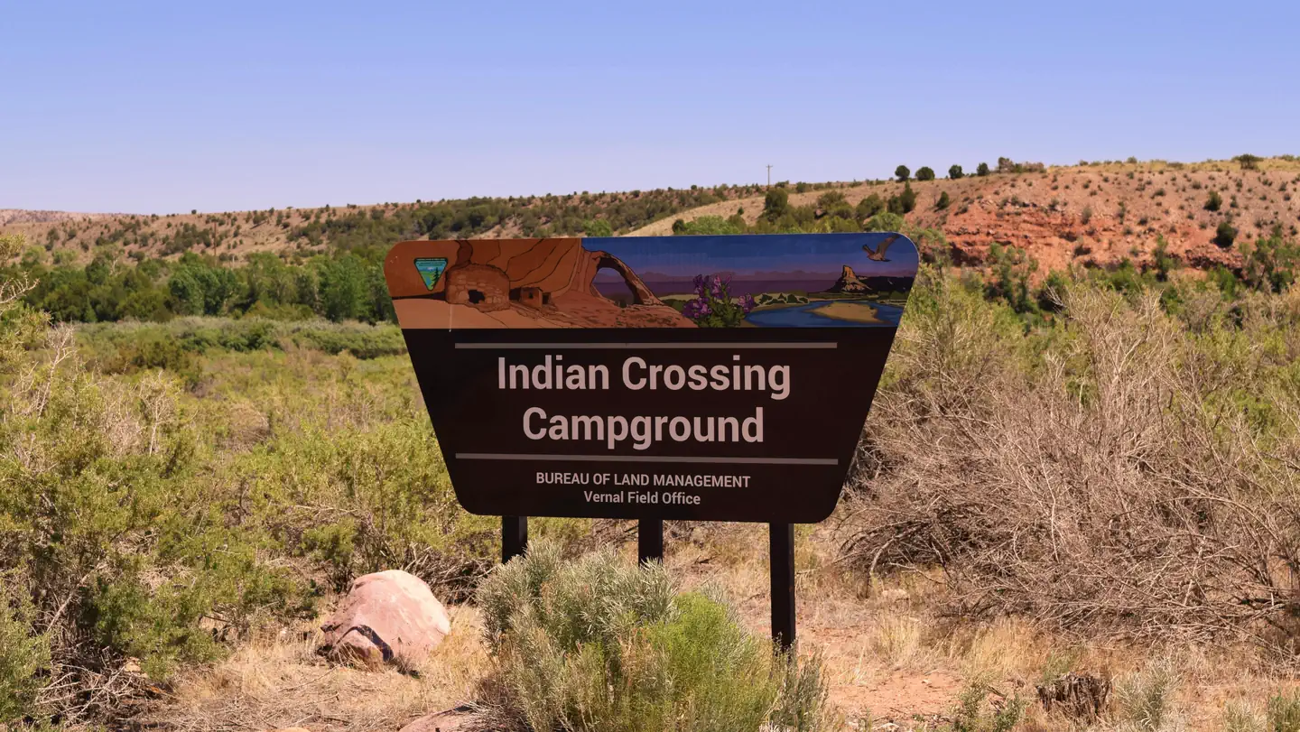
Overview This Campground is on a First Come - First Serve Basis, vistors are required to physically be at the campground to purchase and claim a site.
 Intake CampgroundCampground · 4 sites
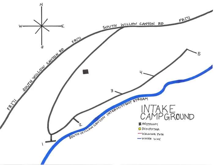
Overview Intake Campground is located southwest of Grantsville, Utah, in South Willow Canyon at an elevation of 6,320 feet.
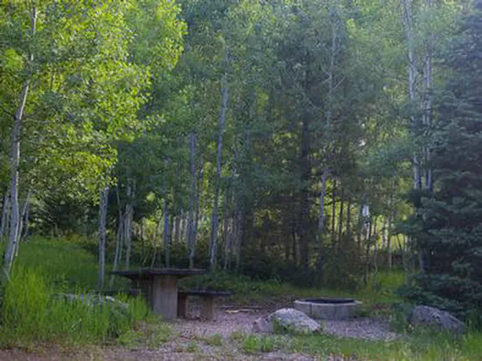 Iron MineCampground · 16 sites
Overview Iron Mine Campground in nestled in the scenic North Fork Drainage off Highway 35, about 18 miles from Tabiona, Utah.
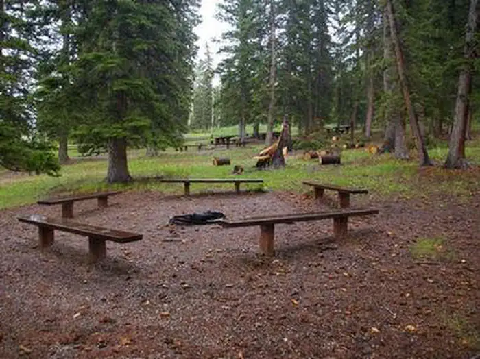 Iron Springs Group AshleyCampground · 2 sites
Overview Iron Springs Group Campground is located approximately 5 miles off U.S. Highway 191, along the Red Cloud Loop Scenic Backway at an elevation of 9,200…
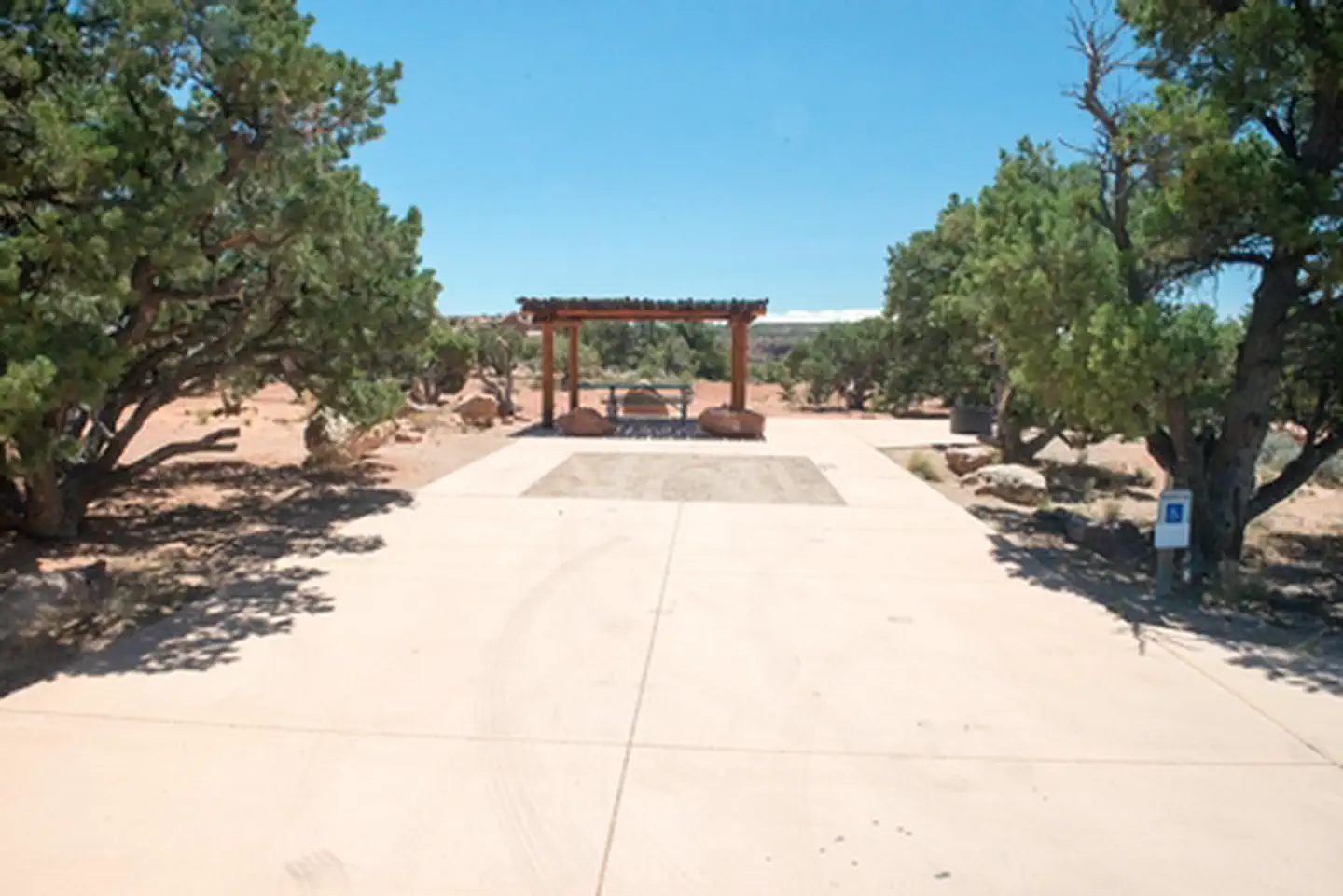 Island in the Sky (Willow Flat) CampgroundFacility · not watchable
Island in the Sky Campground (Willow Flat) has 12 sites, first-come, first-served. The campground is open year-round.
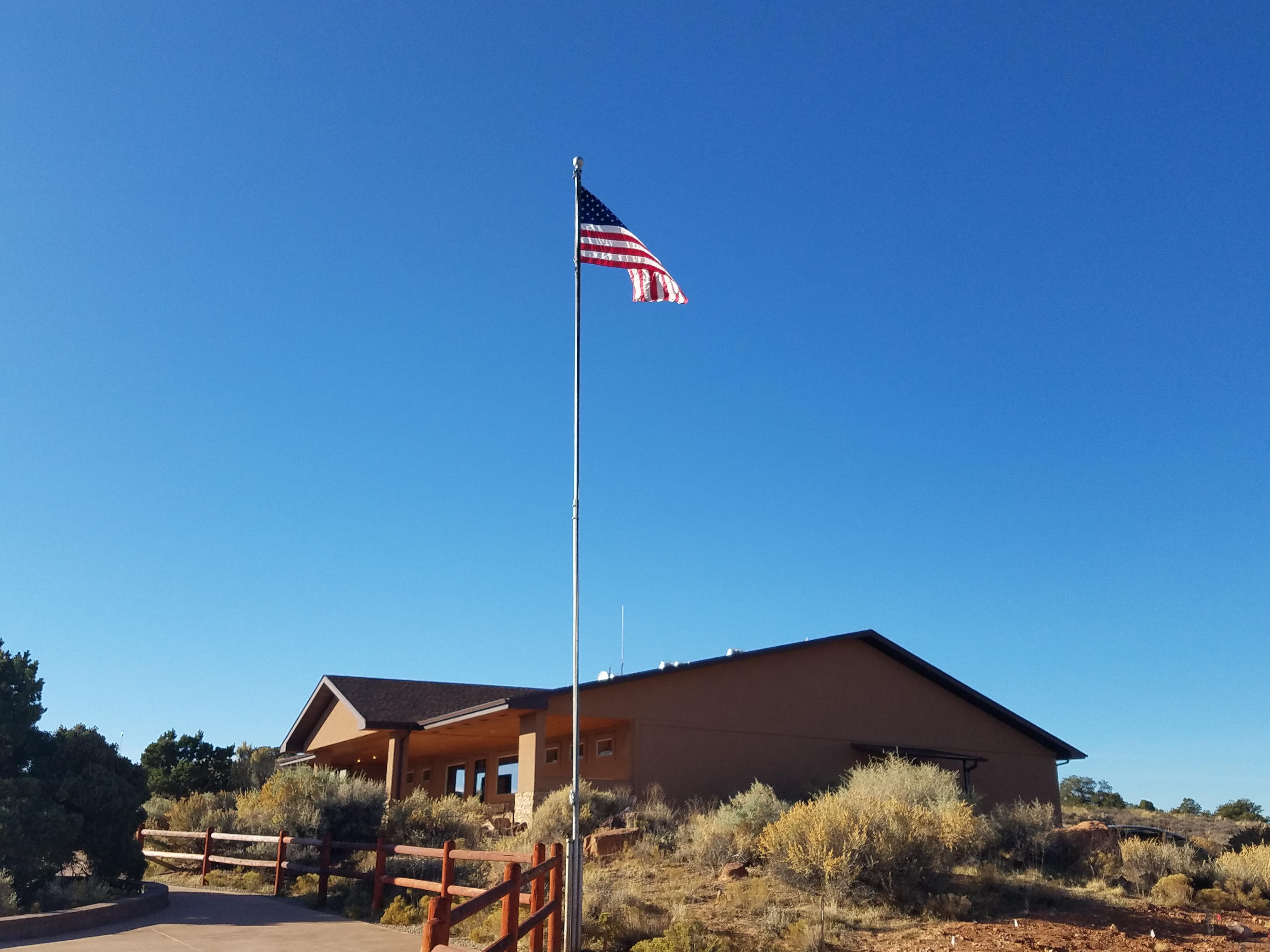 Island in the Sky Visitor CenterFacility · not watchable
The Island in the Sky Visitor Center offers exhibits, book & map sales, park orientation film, backcountry permits, general information, vault toilets, and…
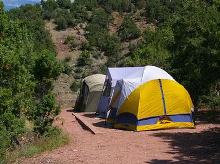 Jarvies Boat in GroupCampground · 1 sites
Overview Jarvies Boat-in Group Campground is located on beautiful Flaming Gorge Reservoir in Jarvies Canyon at an elevation of 6,040 feet.
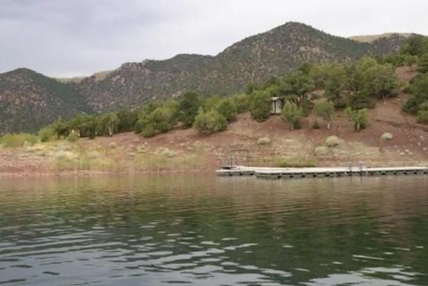 Jarvies Family Boat InCampground · 8 sites
Overview Jarvies Family Boat-In Campground is located on beautiful Flaming Gorge Reservoir in Jarvies Canyon at an elevation of 6,040 feet.
- Jaycee Park CampgroundCampground · not watchable
Located in the Colorado River canyon with shady walk-in tent sites near the popular Wall Street climbing area.
- Jeep Arch (Gold Bar) TrailheadFacility · not watchable
The Jeep Arch (Gold Bar) Trailhead is a 2.0 miles hike one way with an elevation gain of about 800 feet.
- Jem TrailFacility · not watchable
Recommended Users: Mountain Bikers, Hikers. Singletrack trail. 6.7 miles in length. Difficulty: Moderate/Easiest.
- Jericho Campground and Picnic AreaFacility · not watchable
One of 4 campgrounds within the Little Sahara Recreation Area (LSRA), the Jericho Campground and Picnic Area has 16 sites for camping and/or picnicking.
- Jewel Tibbetts Arch TrailheadFacility · not watchable
Length of Hike: 2.1 miles, round-trip (semi-loop); allow about 2 hours round-trip.
- Joe Lay ReservoirFacility · not watchable
A small fishing lake in the North Creek Lakes area. The Department of Wildlife Resourses of Utah (DWR) stocks this reservoir with Brook Trout.
- Joe's Valley Bouldering AreaFacility · not watchable
The Joe's Valley Bouldering Area offers world class bouldering opportunities with over 188 bouldering sites and 9.7 miles of social trails in the area.
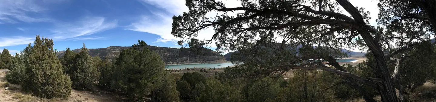 Joes Valley Pavilion Group Site ACampground · 1 sites
Overview Joes Valley Pavilion Group Site is located in a high mountain valley just above Joes Valley Reservoir, at an elevation of 7,000 feet.
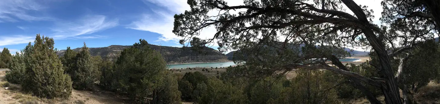 Joes Valley ReservoirCampground · 51 sites
Overview Joe's Valley Reservoir Campground is located in a high mountain valley next to its namesake, at an elevation of 7,000 feet.
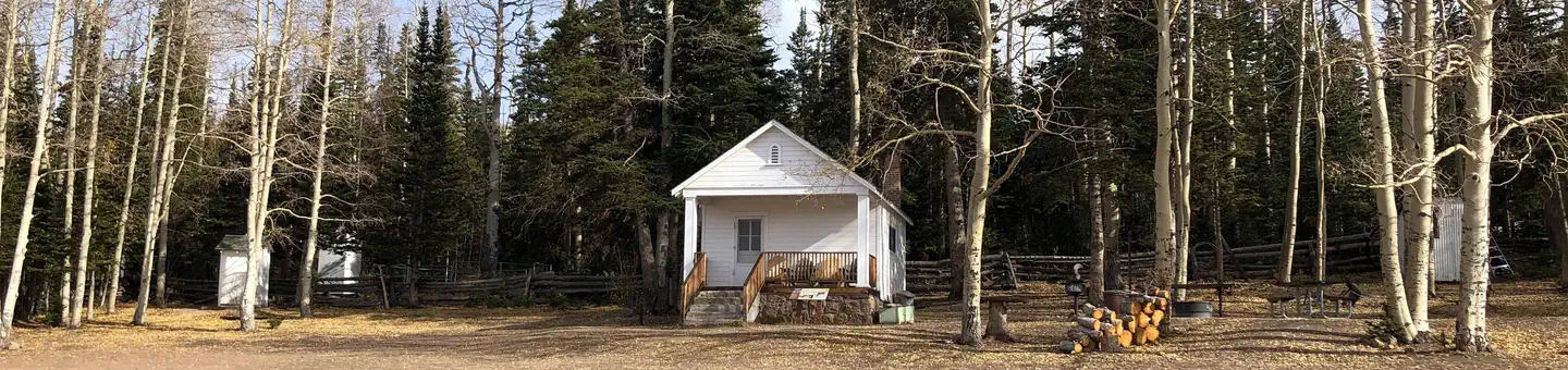 Jones Corral Guard StationCampground · 1 sites
Overview Jones Corral Guard Station is located on the Dixie National Forest, 12 miles west of the small town of Antimony, in southern Utah.
- Jones Hole National Fish HatcheryFacility · not watchable
The Jones Hole National Fish Hatchery is located 40 miles from Vernal in a beautiful sandstone canyon.
 Jordan PinesCampground · 5 sites
Overview Jordan Pines Campground is located in scenic Big Cottonwood Canyon at an elevation of 7500 feet. Salt Lake City is conveniently close.
- Kaler Hollow CampgroundCampground · not watchable
There are 4 tent sites at the north end of the Taylor Mountain Plateau. The Old Carter Military Trail passes by the campground.
- Kanab Visitor CenterFacility · not watchable
The Kanab Visitor Center is one of four visitor centers in the Grand Staircase-Escalante National Monument each with a different theme.
- Kanarra FallsFacility · not watchable
Kanarra Falls hiking area is part of the Spring Creek Canyon Wilderness Study Area, but is a separate canyon located just north of the Spring Creek Canyon.
- Kane Creek Recreation AreaFacility · not watchable
Kane Creek Recreation Area is located west of the town of Moab, Utah. It provides visitors with access to camping, group camp sites, and world-class mountain…
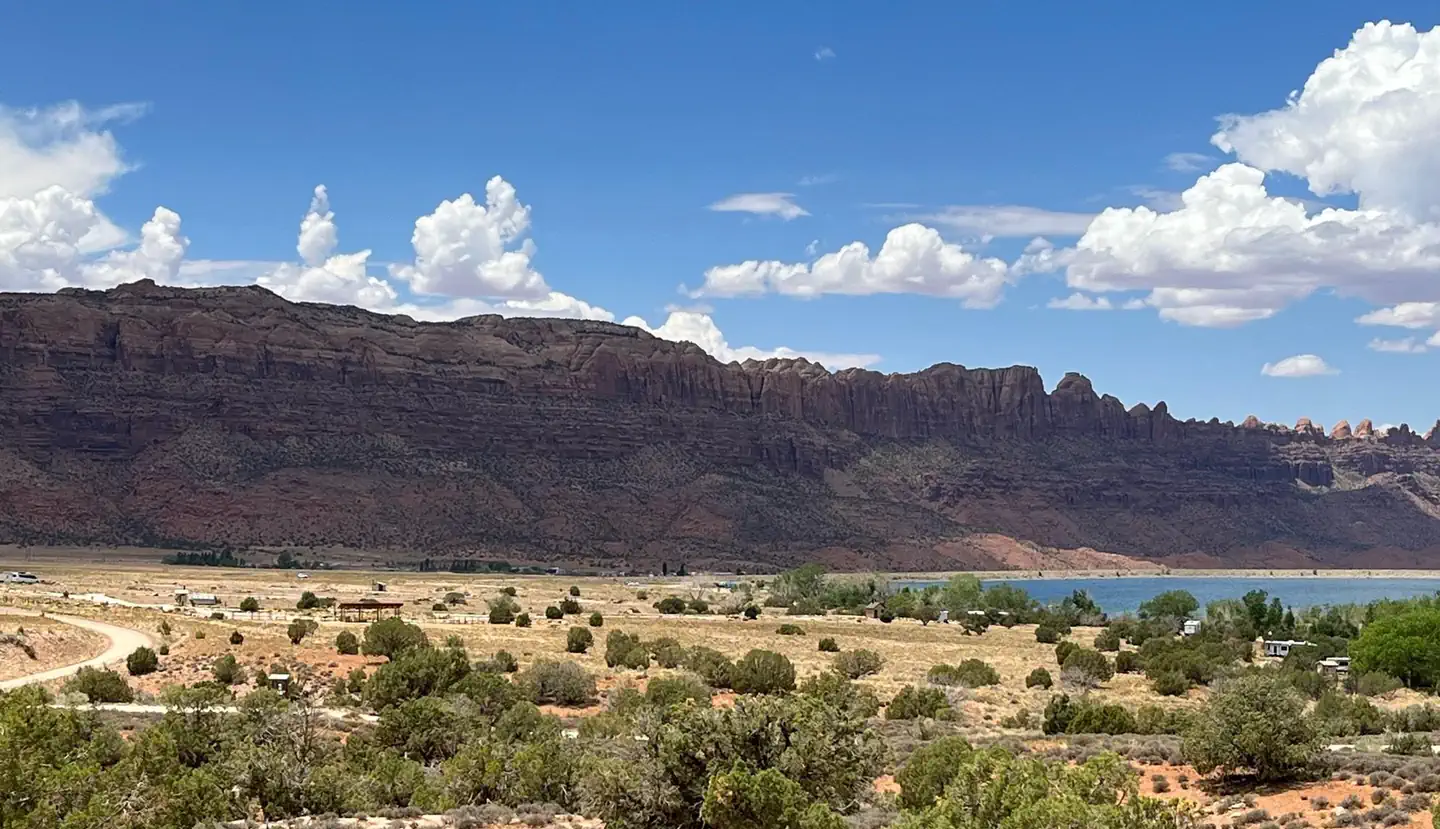 Ken's Lake CampgroundCampground · 48 sites
Overview ATTENTION: Loop A campsites are available by reservation only through Recreation.gov.
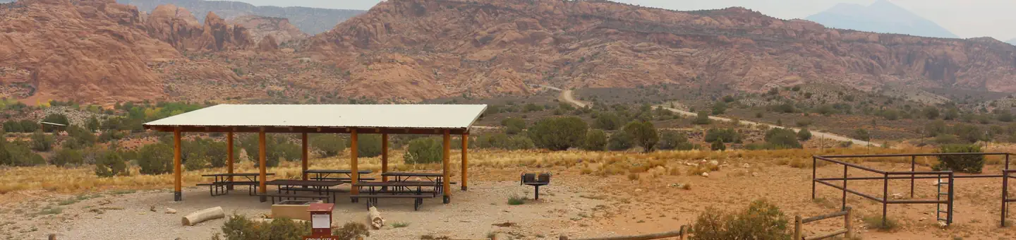 Ken's Lake Group SitesCampground · 2 sites
Overview The Ken's Lake Group Sites are ideal for those wishing to be close to Moab, but away from the local highways.
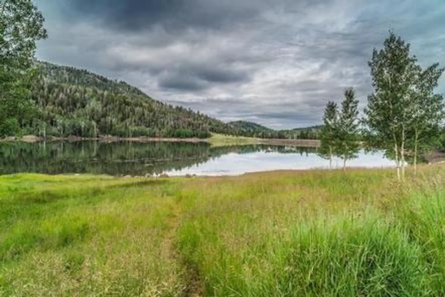 Kents Lake CampgroundCampground · 32 sites
Overview Kents Lake Campground has 28 single family campsites and two multiple family campsites.
- King's Bottom CampgroundCampground · not watchable
Campsites are located along the banks of the Colorado River, nestled between massive canyon walls.
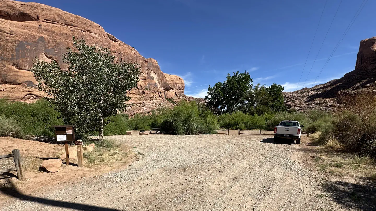 Kings Bottom Group SiteCampground · 1 sites
Overview The Kings Bottom Group Site is located within Kings Bottom Campground along the Colorado River on the paved portion of Kane Creek Road.
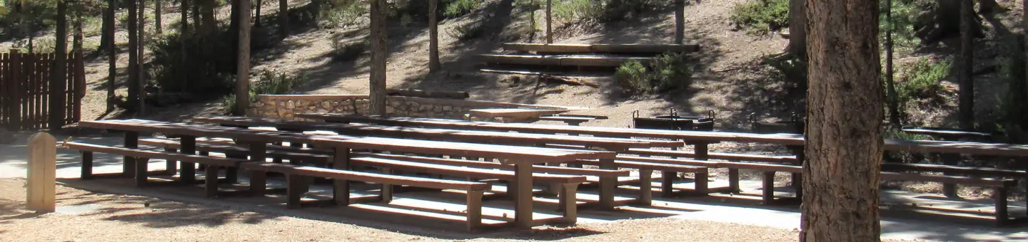 Kings CreekCampground · 39 sites
Overview Kings Creek Campground is located on the west side of Tropic Reservoir, high on the Colorado Plateau at an elevation of 8,000 feet.
- Kingstron Canyon OHV Staging Area / Picnic AreaFacility · not watchable
See website, Richfield RMP, FAMS, or brochures. This popular picnic site offers rest rooms, picnic tables, a grill and some interesting interpretation for the…
- Klondike Bluffs North TrailheadFacility · not watchable
Klondike Bluffs has long been a popular mountain biking area. All of the trails are also open to hikers.
- Klondike Bluffs South TrailheadFacility · not watchable
Klondike Bluffs has long been a popular mountain biking area. All of the trails are also open to hikers.
- Klonzo TrailheadFacility · not watchable
Klonzo is a new trail system to the Moab Field Office. These trails, built in 2012, are an excellent new system with a good mix of trail surfaces at an…
- Koosharem Day Use siteFacility · not watchable
Koosharem Reservoir is a small shallow lake formed by damming Otter Creek above Grass Valley.
- La Sal Loop - Moab Front Recreation AreaFacility · not watchable
The La Sal Loop - Moab Front Recreation Area is in southeastern Utah just outside of Moab. The La Sal Mtn. Loop Rd.
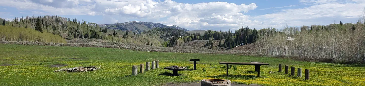 Lake Canyon Rec AreaCampground · 16 sites
Overview Lake Canyon Recreation Area can be found along Utah's scenic Energy Loop, on top of the Wasatch Plateau.
- Lake ClevelandFacility · not watchable
CLOSED DUE TO HAZARDOUS ROAD CONDITIONS Lake Cleveland is a popular high mountain lake located in the Albion Mountains just below Mt.
- Lake Cleveland Campground - West SideCampground · not watchable
Lake Cleveland Campground is a very popular summer recreational facility. Located next to its namesake, the campground is divided into the East Side and West…
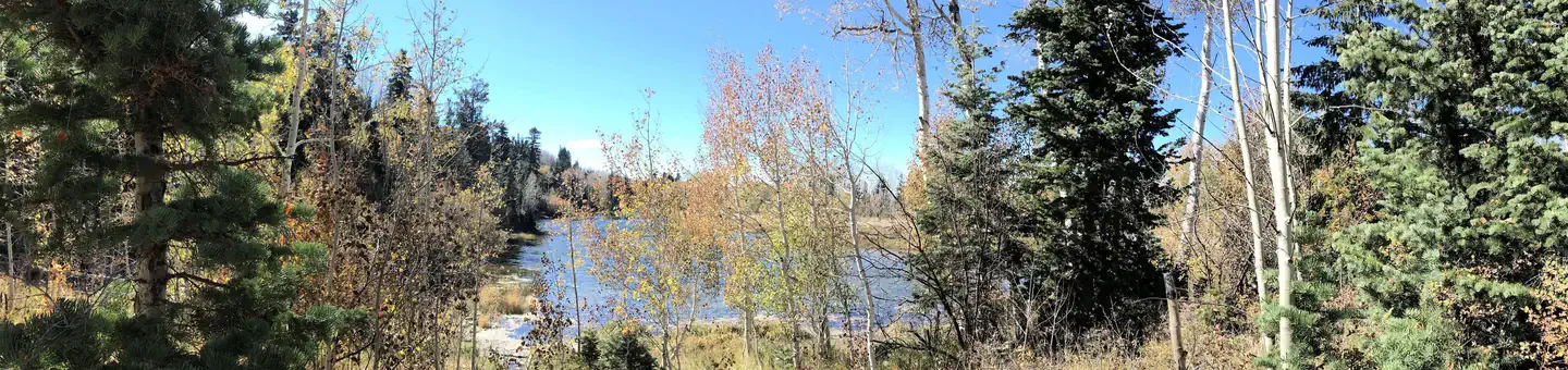 Lake HillCampground · 6 sites
Overview Lake Hill Campground is situated next to pretty Lake Hill Reservoir just five miles from Ephraim, Utah at an elevation of 8,400 feet.
- Lake MountainsFacility · not watchable
Lake Mountains is a small mountain range with canyons, rocky outcrops and pinyon-junipers that overlooks Utah Lake with views of the Wasatch Mountains spanning…
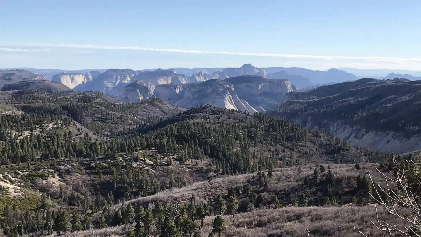 Lava Point CampgroundCampground · 6 sites
Overview Lava Point is a primitive campground, typically open May through September, as weather allows.
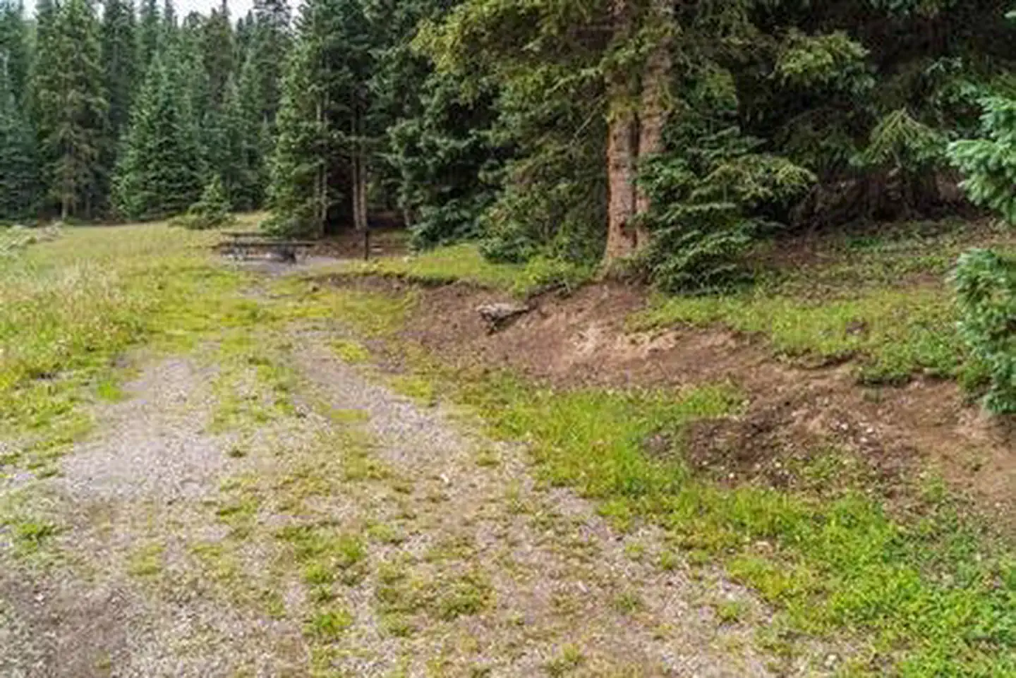 LeBaron CampgroundCampground · 12 sites
Overview LeBaron Campground is located in the Fishlake National Forest at an elevation of 9,900 feet.
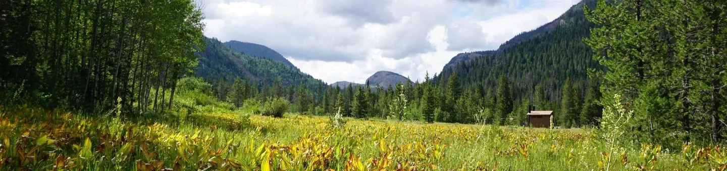 LedgeforkCampground · 71 sites
Overview Ledgefork Campground is located just above Smith and Morehouse Reservoir on the western edge of the Uinta Mountains in northeastern Utah.
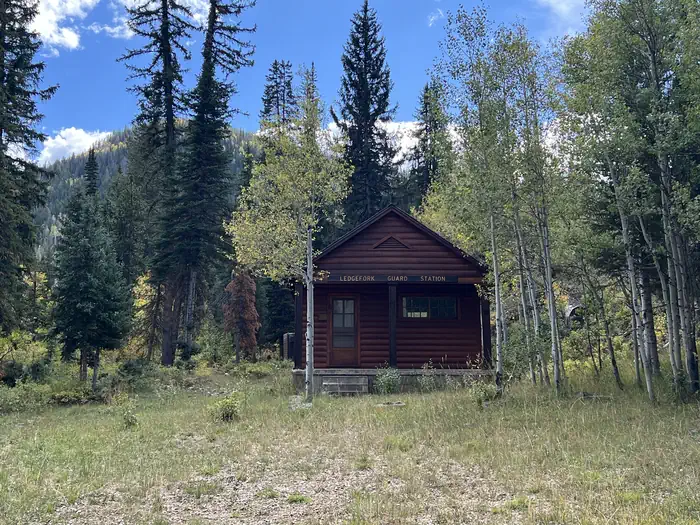 Ledgefork Guard StationCampground · 1 sites
Overview Ledgefork Guard Station is located just above Smith and Morehouse Reservoir on the western edge of the Uinta Mountains in northeastern Utah.
 Ledgemere Picnic AreaCampground · 14 sites
Overview Ledgemere Day Use Picnic Area is just a couple of miles up Big Cottonwood Canyon, conveniently close to Salt Lake City.
- Leed's Reef TrailFacility · not watchable
Recommended Users: Mountain Bikers, Hikers, Equestrians. Two-track trail. 1.44 miles in length. Difficulty: Moderate/More Difficult.
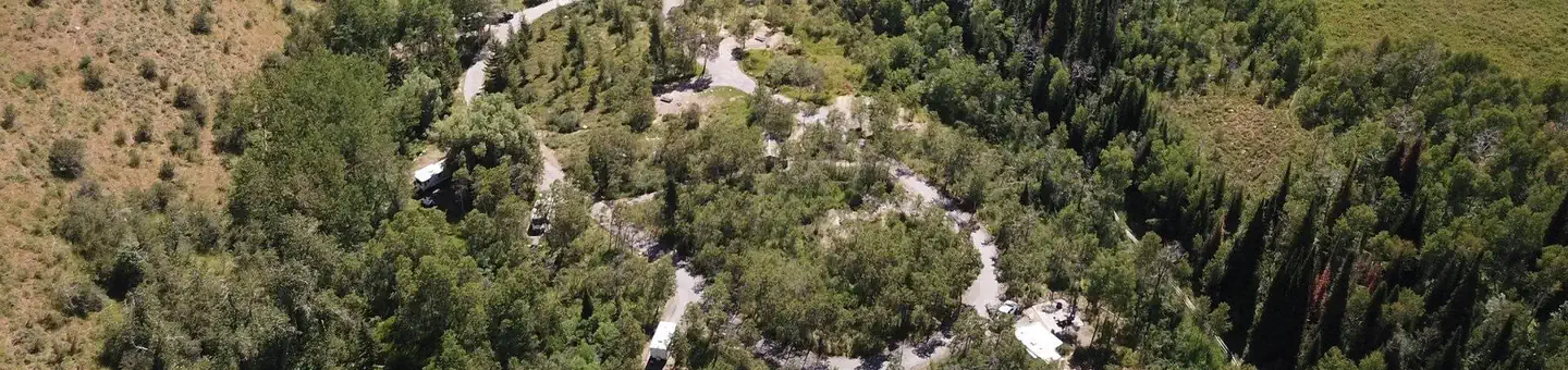 Lewis M. Turner Campground (UT)Campground · 9 sites
Overview Lewis M. Turner Campground is about 22 miles northeast of Logan, Utah, at an elevation of 5,900 feet.
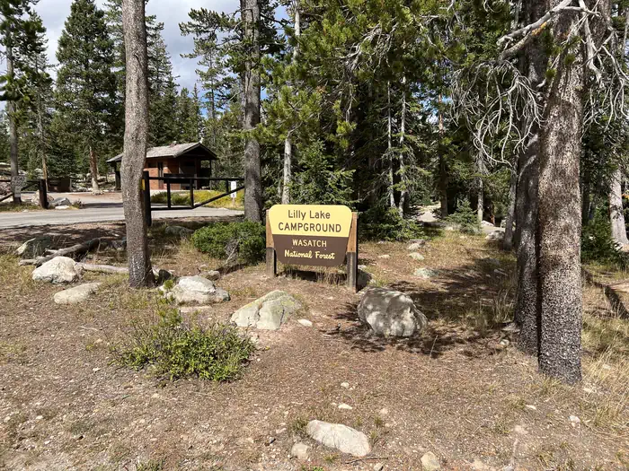 Lilly Lake CampgroundCampground · 13 sites
Overview Lilly Lake Campground located just off the Mirror Lake Scenic Byway on the shores of Lost Lake at an elevation of 10,000 feet.
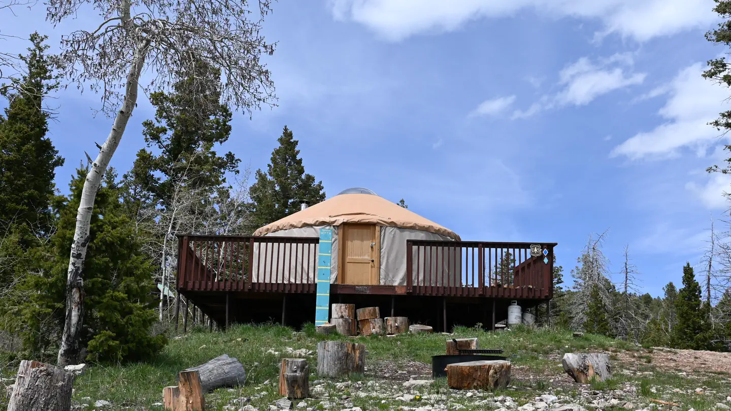 Limber Flag YurtCampground · 1 sites
Overview Limber Flag Yurt is located in the Ashley National Forest, approximately 20 air miles north of Vernal, in eastern Utah.
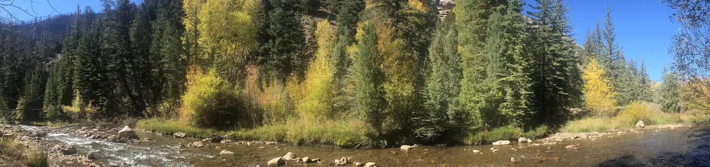 Little Bear GroupCampground · 2 sites
Overview Little Bear Group Campground is located in beautiful Huntington Canyon along the Huntington Canyon National Scenic Byway on Utah Highway 31.
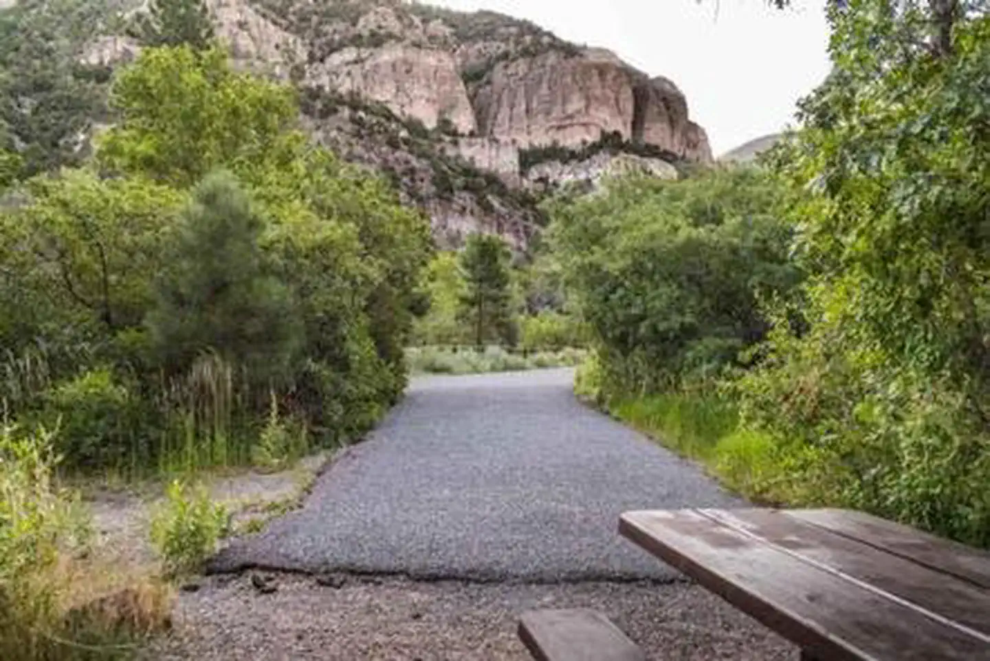 Little Cottonwood CampgroundCampground · 14 sites
Overview The Little Cottonwood Campground is conveniently located off Utah's I-15, adjacent to the Beaver River just outside of the community of Beaver in the…
 Little Creek CampgroundCampground · 10 sites
Overview Little Creek Campground is located three miles of west of the town of Randolph in Rich County, Utah, at an elevation of 6,380 feet.
- Little Grand Canyon TrailheadFacility · not watchable
Little Grand Canyon trailhead serves as the starting or ending point for those hiking through the Little Grand Canyon.
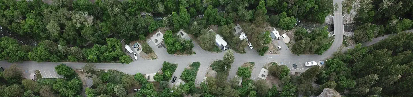 Little MillCampground · 26 sites
Overview Little Mill Campground is located in American Fork Canyon on the banks of American Fork Creek.
- Little Reservoir CampgroundCampground · not watchable
Little Reservoir is within sight of the campsites or a short walk. Good hunting, fishing, biking and spectacular mountain scenery is available.
- Little Reservoir CamproundCampground · 8 sites
Overview The Little Reservoir Campground is conveniently located off Utah's I-15, just outside the community of Beaver in the Fishlake National Forest.
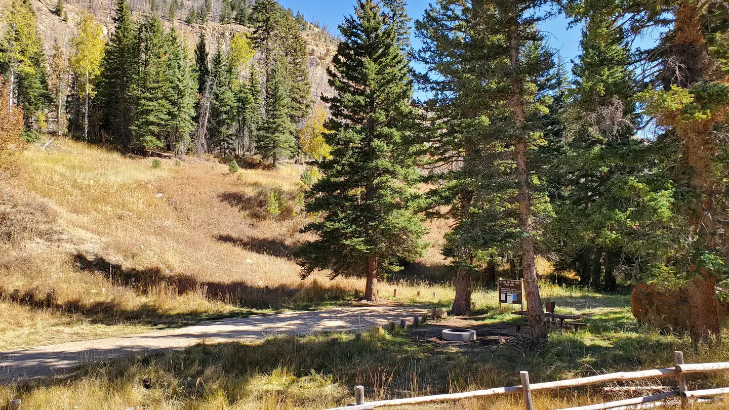 Little Rock CampgroundCampground · 1 sites
Overview Little Rock Campground is nestled in beautiful Huntington Canyon along the Huntington Canyon National Scenic Byway on Utah Highway 31.
 Lodge Campground (UT)Campground · 9 sites
Overview Lodge Campground, located in Logan Canyon, stretches out along the Right Hand Fork of the Logan River at an elevation of 5,600 feet.
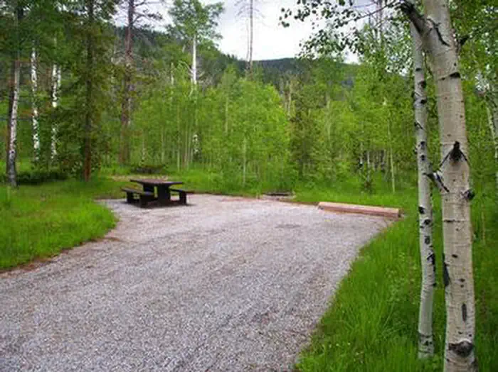 Lodgepole AT Flaming GorgeCampground · 36 sites
Overview Lodgepole Campground is settled near beautiful Flaming Gorge Reservoir just 26 miles north of Vernal, UTAH, at an elevation of 8,000 feet.
 Lodgepole AT HeberCampground · 28 sites
Overview Lodgepole Campground is located in scenic Daniels Canyon just a short drive from Heber, Utah, and Strawberry Reservoir at an elevation of 7,800 feet.
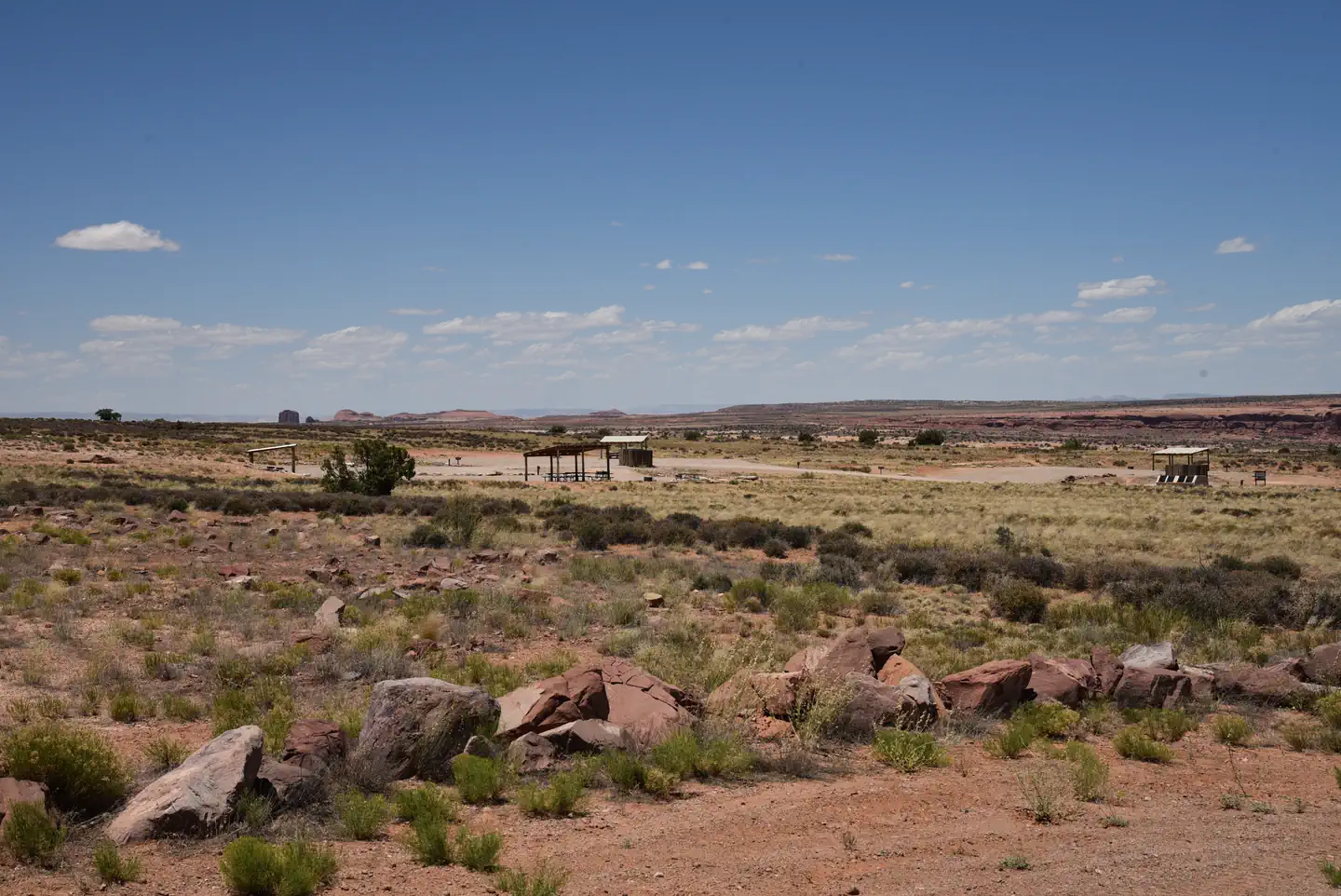 Lone Mesa Group SitesCampground · 5 sites
Overview Lone Mesa Group Sites are ideal for large gatherings such as school groups or family reunions.
- Lonesome Beaver CampgroundCampground · not watchable
Lonesome Beaver Campground lies in the middle of Sawmill Basin and sits at an elevation of over 8,000 feet, Due to road conditions the campground can be…
- Long Willow BottomFacility · not watchable
A fishing lake in the North Creek Lakes area. The Department of Wildlife Resourses of Utah (DWR) stocks this lake with Tiger Trout and Colorado River Cutthroat…
- Longbow Arch TrailheadFacility · not watchable
Length of Hike: 1.2 miles one-way from the Poison Spider parking lot to base of arch.
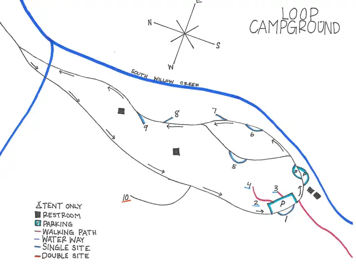 Loop Campground (UT)Campground · 10 sites
Overview Loop Campground is located southwest of Grantsville, Utah, in South Willow Canyon at an elevation of 7,400 feet.
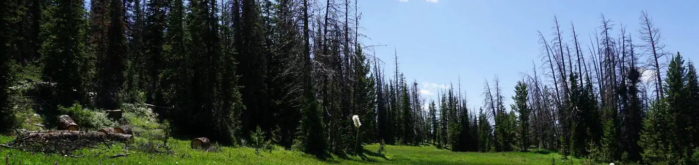 Lost Creek CampgroundCampground · 34 sites
Overview Lost Creek Campground is located just off the Mirror Lake Scenic Byway on the shores of Lost Lake at an elevation of 9,900 feet.
- Lower Barker ReservoirFacility · not watchable
A fishing lake in the North Creek Lakes area. The Department of Wildlife Resourses of Utah (DWR) stocks this lake with Brook Trout.
- Lower Black Box TrailheadFacility · not watchable
The Lower Black Box can be deadly and should be only attempted by experienced canyoneers. The hike is located in the Mexican Mountain WSA.
 Lower BownsCampground · 5 sites
Overview Lower Bowns Campground is located on the east side of Boulder Mountain on the shore of Lower Bowns Reservoir at an elevation of 7,000 feet.
- Lower Calf Creek Falls TrailFacility · not watchable
The 6.0 mile round trip hike to the 126 foot lower falls is on a developed trail adjacent to Calf Creek.
- Lower Graveyard TrailFacility · not watchable
Recommended Users: Equestrians, Hikers, Mountain Bikers. Two-track trail. 1 mile in length. Difficulty: Easy/Easiest.
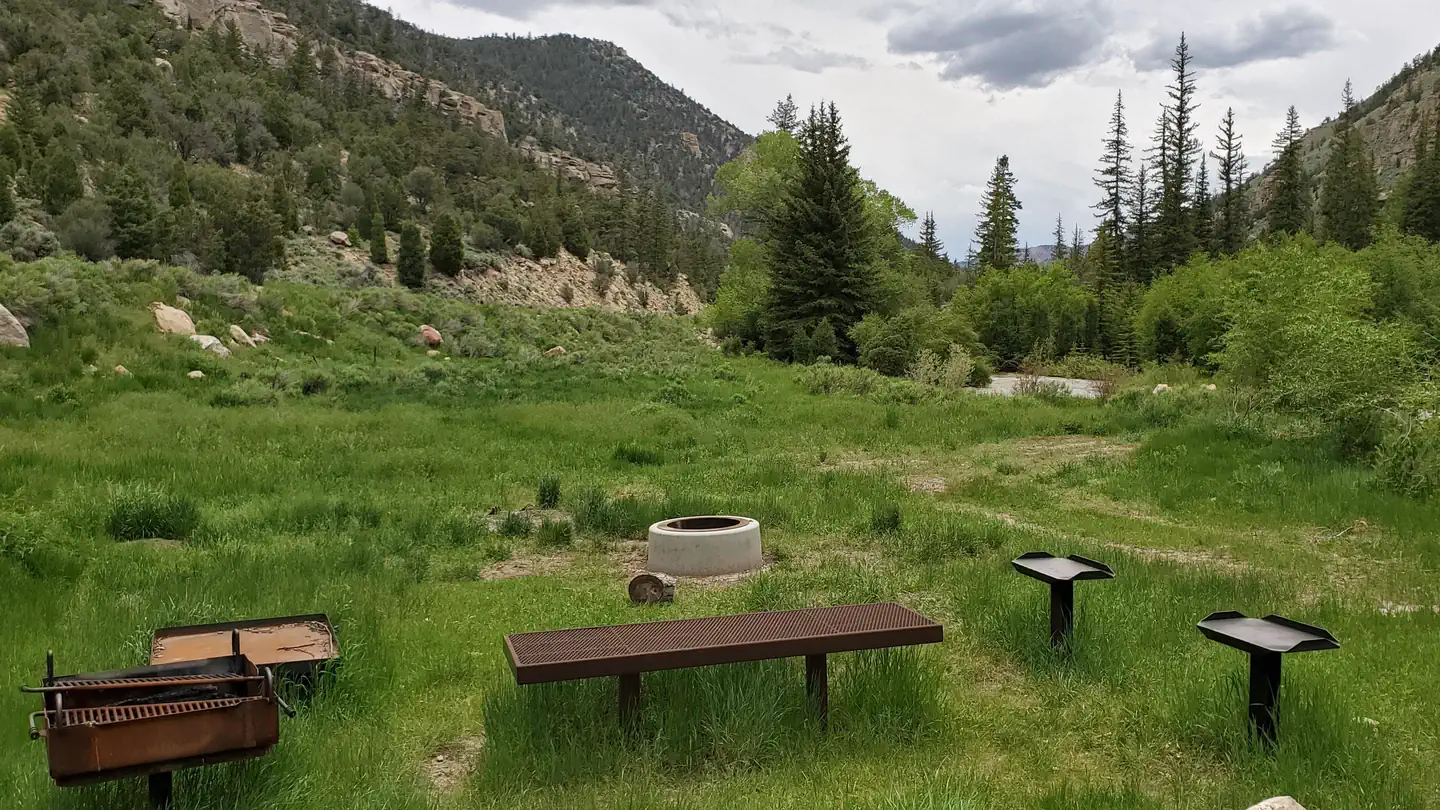 Lower Little Bear CampgroundCampground · 2 sites
Overview Lower Little Bear Campground is a campsite nestled in a shaded area adjacent to Huntington Creek.
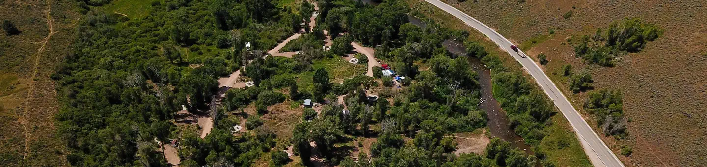 Lower Meadows CampgroundCampground · 23 sites
Overview Lower Meadows Campground is located on the banks of the South Fork Ogden River at an elevation of 5,300 feet, just 9 miles from Huntsville, Utah.
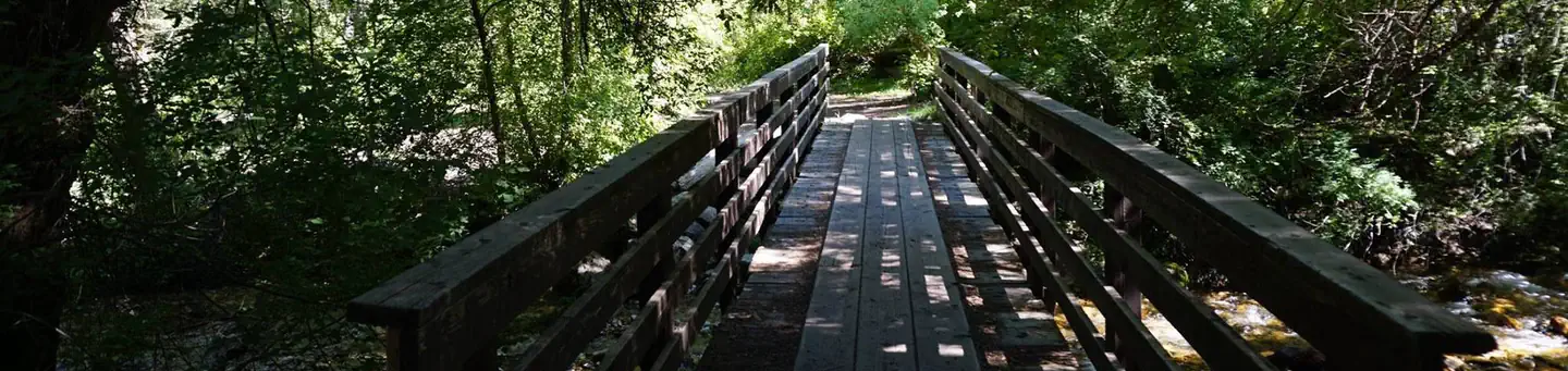 Lower Narrows CampgroundCampground · 3 sites
Overview Upper Narrows Campground is located southwest of Grantsville, Utah, in South Willow Canyon at an elevation of 6,840 feet.
- Lower Onion Creek CampgroundCampground · not watchable
Campsites are located along the banks of the Colorado River, offering vistas of the river canyon, Fisher Towers and the area's captivating red rock formations.
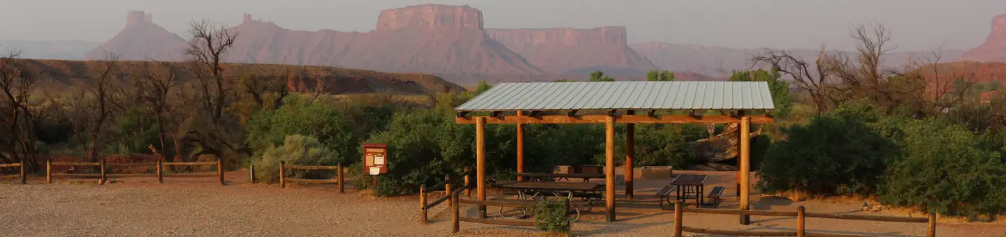 Lower Onion Creek Group SitesCampground · 4 sites
Overview The Lower Onion Creek Group Sites are located along the banks of the Colorado River.
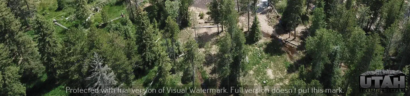 Lower Provo CampgroundCampground · 9 sites
Overview Lower Provo River Campground is located just off the beautiful Mirror Lake Scenic Byway in the Uinta Mountains of northeastern Utah near the shores of…
- Lower Range creek TrailheadFacility · not watchable
Visitors to lower range creek come for many reasons, to enjoy a hike in a wilderness setting, view wildlife, and experience a connection to the past by viewing…
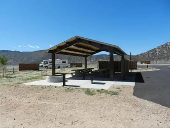 Lucerne CampgroundCampground · 126 sites
Overview Lucerne Campground is located on the shore of Flaming Gorge Reservoir at an elevation of 6,100 feet.
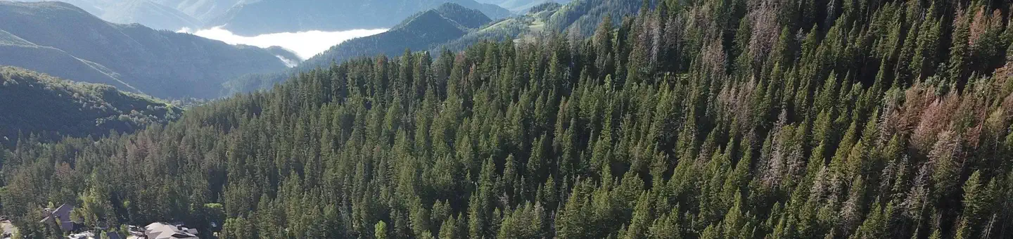 MT. TimpanogosCampground · 27 sites
Overview Mt. Timpanogos Campground is located along the beautiful Alpine Loop Scenic Byway in the Wasatch Mountains.
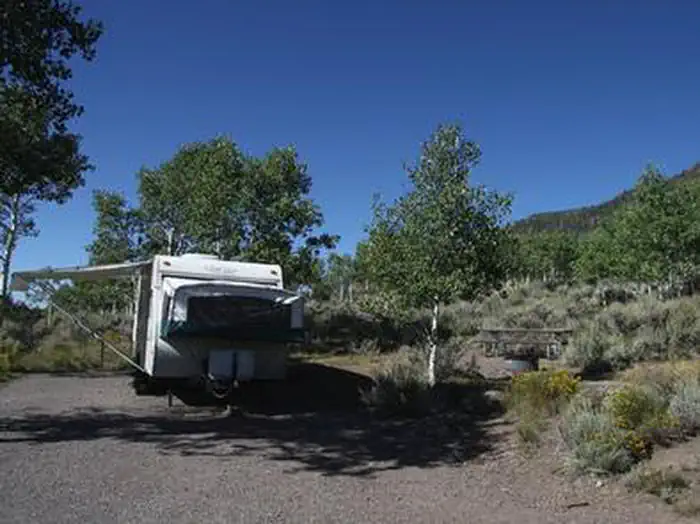 MackinawCampground · 67 sites
Overview Mackinaw Campground is located next to Fish Lake and the Fishlake Scenic Byway in central Utah at an elevation of 9,000 feet.
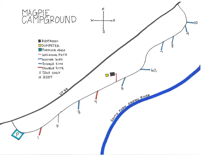 Magpie Campground (UT)Campground · 9 sites
Overview Magpie Campground is located on the banks of the South Fork Ogden River at an elevation of 5,200 feet, just 6 miles from Huntsville, Utah.
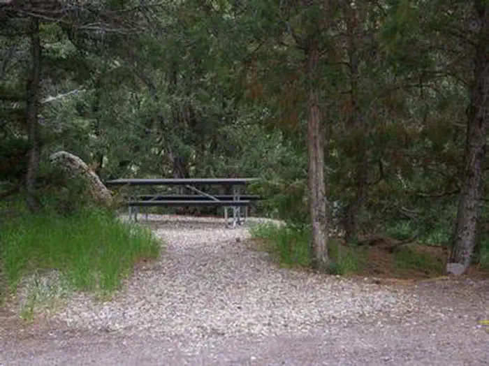 Mahogany Cove CampgroundCampground · 9 sites
Overview Mahogany Cove Campground is located in a grassy meadow along the Beaver Canyon Scenic Byway just 12 miles from Beaver, Utah, at an elevation of 7,200…
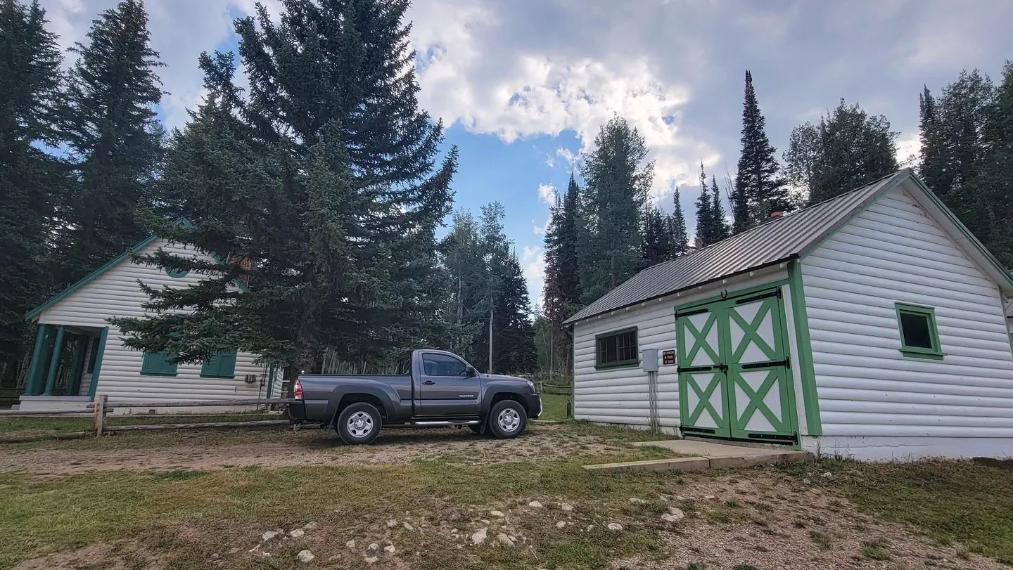 Mammoth CabinCampground · 2 sites
Overview The Mammoth Guard station is located at 8,600 feet in elevation. There are two cabins on the grounds.
- Mano TrailFacility · not watchable
Recommended Users: Mountain Bikers, Hikers, Equestrians. Singletrack trail. 0.04 miles in length. Difficutly: Easy/Easiest.
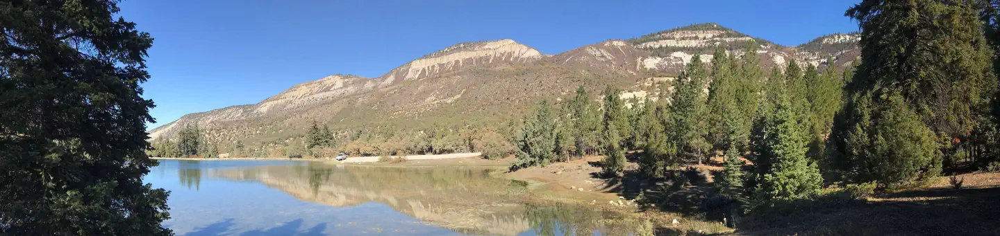 Manti CommunityCampground · 7 sites
Overview Manti Community Campground is just 7 miles east of Manti, Utah next to Yearns Reservoir at an elevation of 7,400 feet.
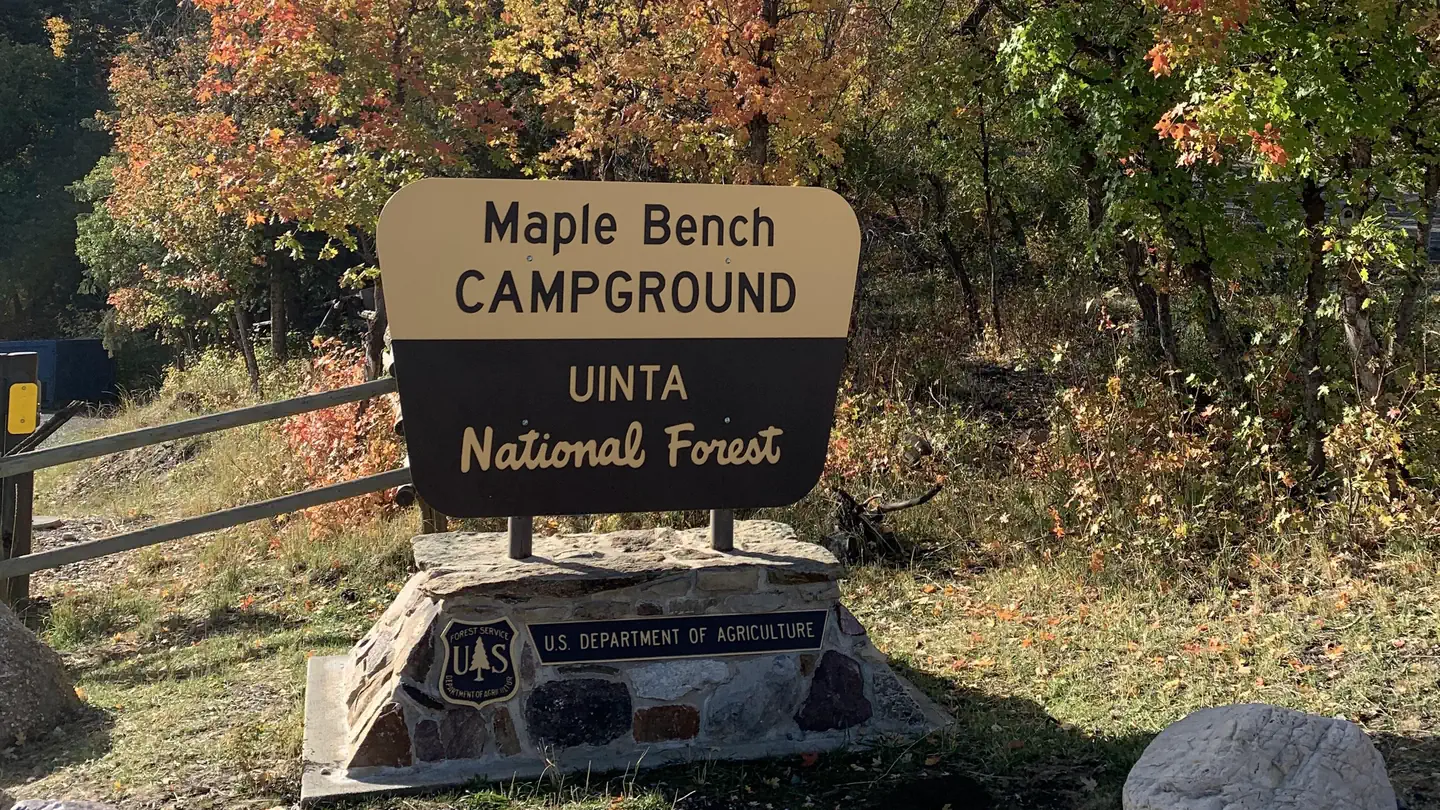 Maple Bench CampgroundCampground · 10 sites
Overview Maple Bench is a small, quiet and peaceful campground. It is perched on a dramatic camp overlooking the Nebo Loop Scenic Byway, at an elevation of…
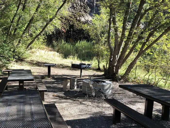 Maple CanyonCampground · 15 sites
Overview Maple Canyon Campground is known for its unique cliffs, arches, and scenic views of the Sanpitch Mountains.
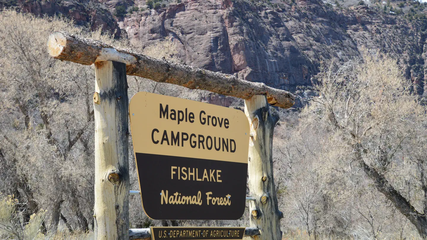 Maple GroveCampground · 22 sites
Overview Maple Grove Campground sits in Fishlake National Forest in central Utah. Visitors enjoy fishing and hiking the nearby Rock Canyon Trail.
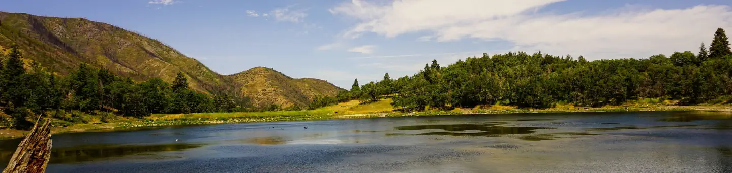 Maple Lake CampgroundCampground · 10 sites
Overview Maple Lake is a timbered setting with limited accessibility. Lake fishing and floating, rafting, kayaking, swimming and hiking are popular recreation…
- Maples CampgroundCampground · not watchable
There is no longer a Maples campground north of the Snowbasin Ski Resort. All picnic tables, firerings and restrooms have been removed.
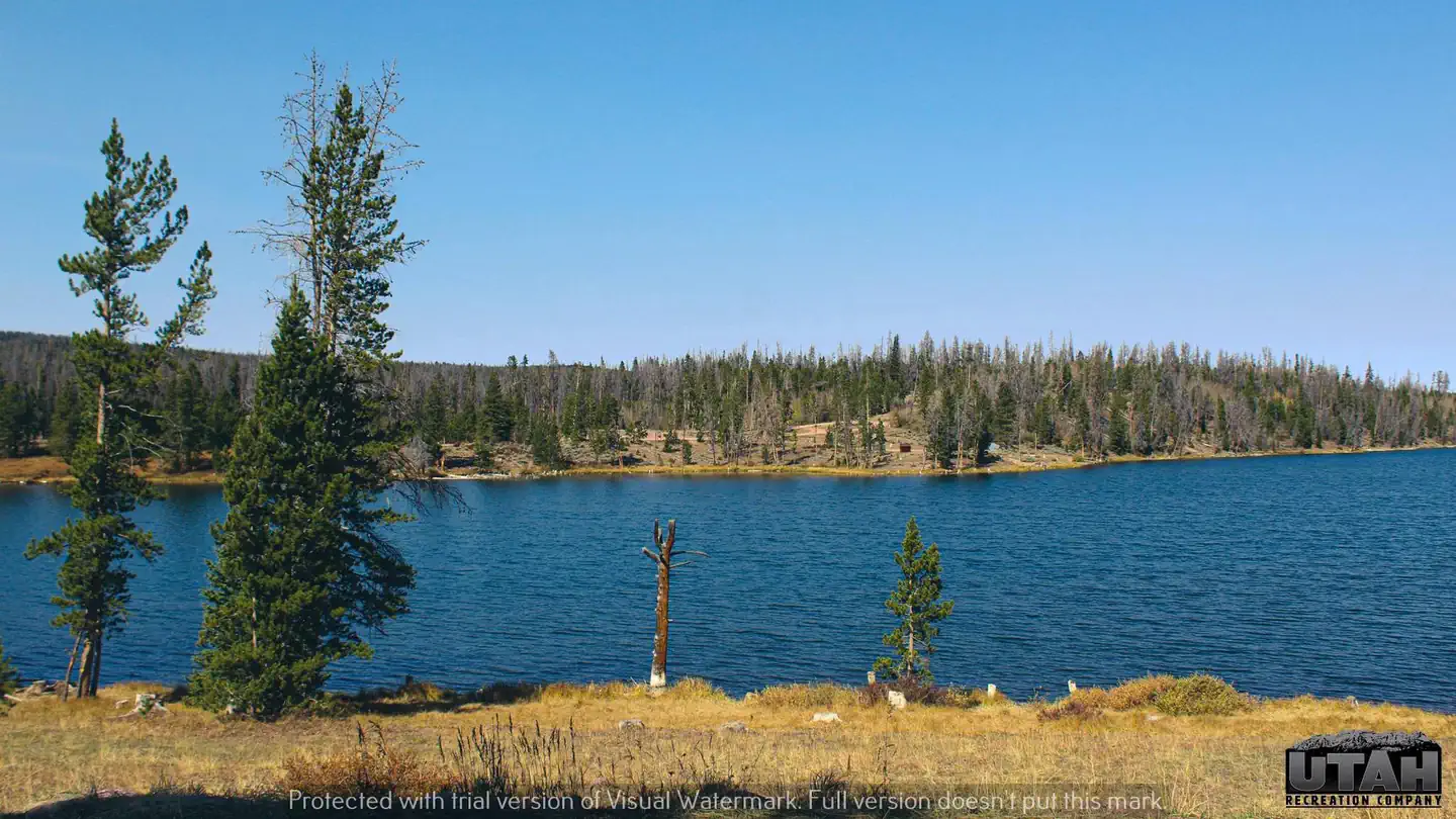 Marsh Lake CampgroundCampground · 45 sites
Overview Marsh Lake Campground is located next to its namesake on the northern slope of the Uinta Mountains at an elevation of 9,400 feet.
- McCoy Flats TrailheadFacility · not watchable
McCoy Flats Mountain Bike Trail System, located at the edge of the Uinta Basin west of Vernal, UT, offers 35 miles of interconnecting loops for riders of all…
- McMillan Spring CampgroundCampground · not watchable
McMillan Spring Campground sits in a Ponderosa Pine forest on a large flat with expansive views.
- McMullin TrailFacility · not watchable
Recommended Users: Mountain Bikers, Hikers. Singletrack trail. 0.05 miles in length. Difficulty: Easy/Easiest.
- Metal Masher TrailheadFacility · not watchable
Summary: Metal Masher is a difficult loop off the Gemini Bridges Trail. It takes the better part of a day to travel.
- Metate TrailFacility · not watchable
Recommended Users: Mountain Bikers, Hikers, Equestrians. Route. 0.06 miles in length. Difficulty: Easy/Easiest. This trail is a connector.
- Mexican Mountain TrailheadFacility · not watchable
The Mexican Mountain trailhead is a great short back pack trip that hikers can explore Mexican Mountain, Nates Canyon, and Horse Thief pass.
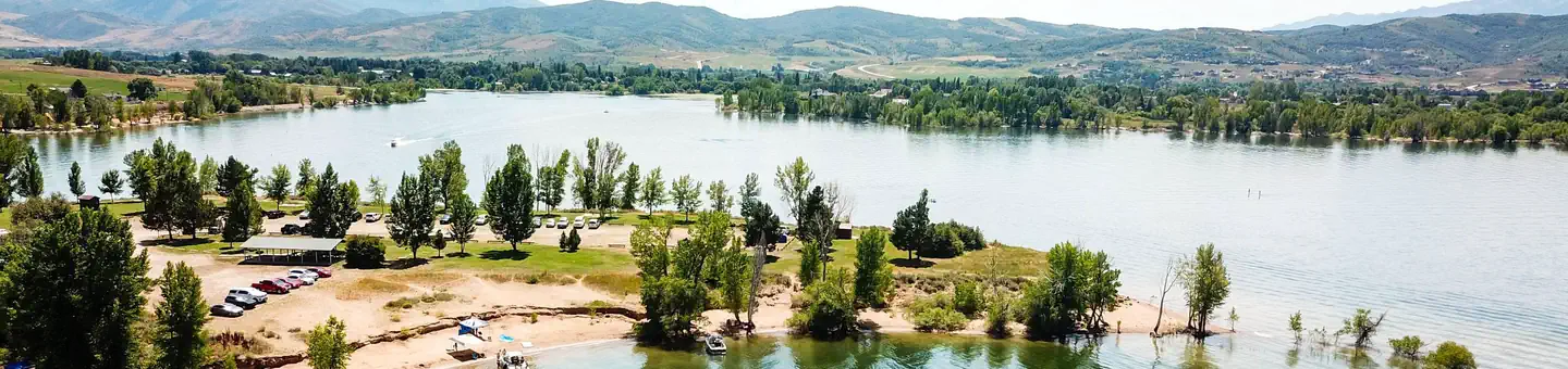 Middle Inlet Group Day UseCampground · 1 sites
Overview Middle Inlet Group Day Use Area is located on the eastern shore of Pineview Reservoir, just 2 miles from Huntsville, Utah.
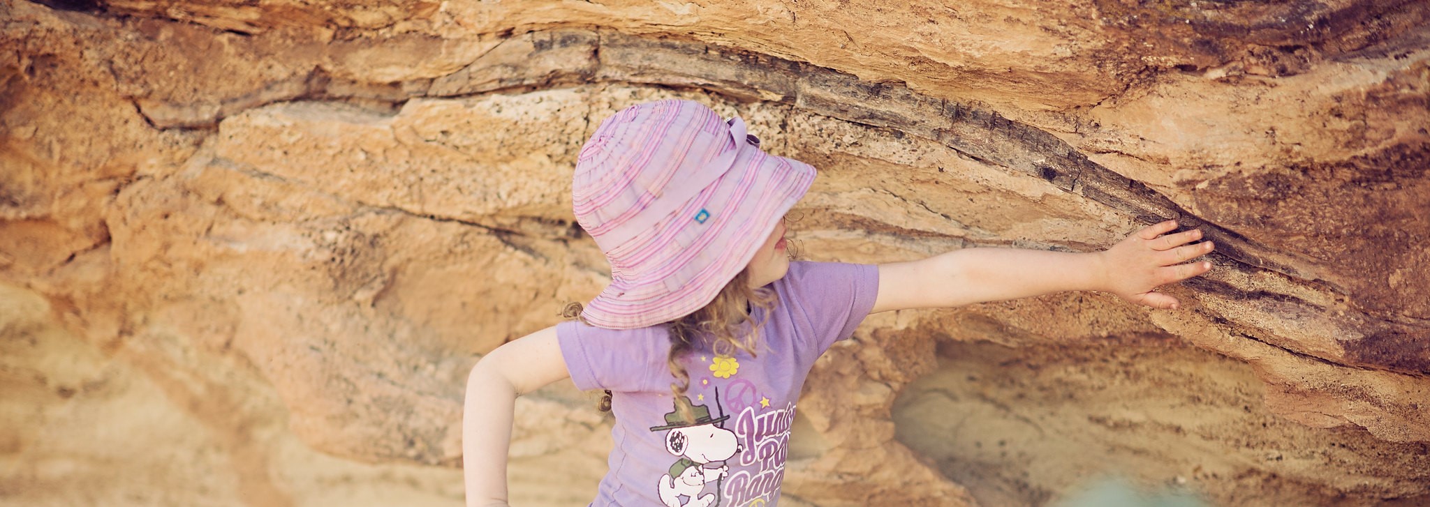 Mill Canyon Dinosaur Trailhead Interpretive SiteFacility · not watchable
Mill Canyon Dinosaur Bone and Track Interpretive Sites, located just north of Moab, offer visitors two unique paleontological experiences.
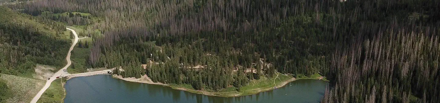 Mill HollowCampground · 27 sites
Overview Mill Hollow Campground is located in the Uinta National Forest next to Mill Hollow Reservoir at an elevation of 8,800 feet.
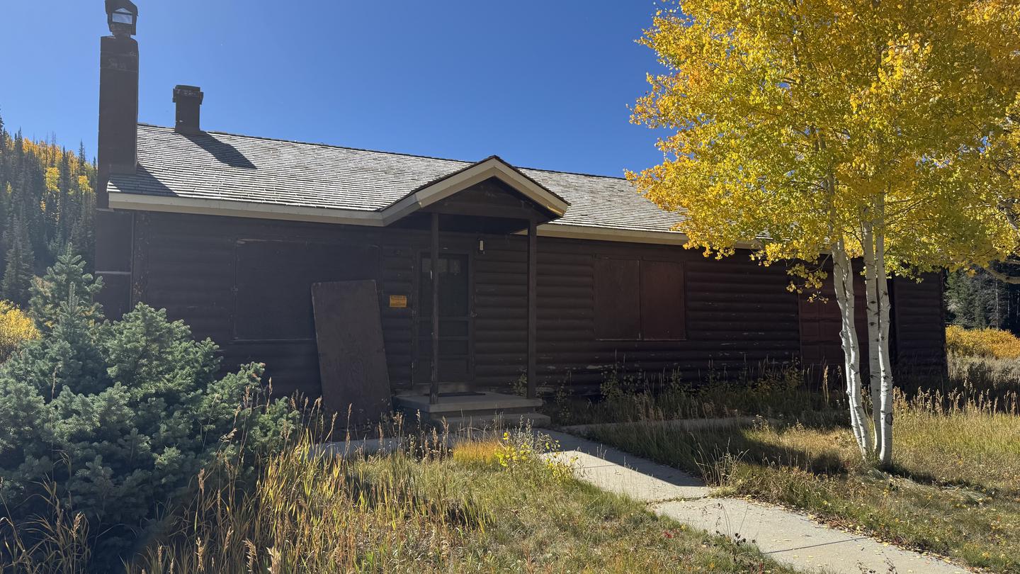 Mill Hollow Guard StationCampground · 1 sites
Overview The Mill Hollow Guard Station is located in the Uinta National Forest next to Mill Hollow Reservoir and campground at an elevation of 8,800 feet.
- Miller Canyon TrailheadFacility · not watchable
Trailhead for the "One-Day Ride, Amasa Basin". A Kiosk with a map is posted at the entrance.
- Miller Flat Reservoir CampgroundFacility · not watchable
Miller Flat Reservoir Campground is located in a high mountain valley near Miller Flat Reservoir, at an elevation of 8,500 feet.
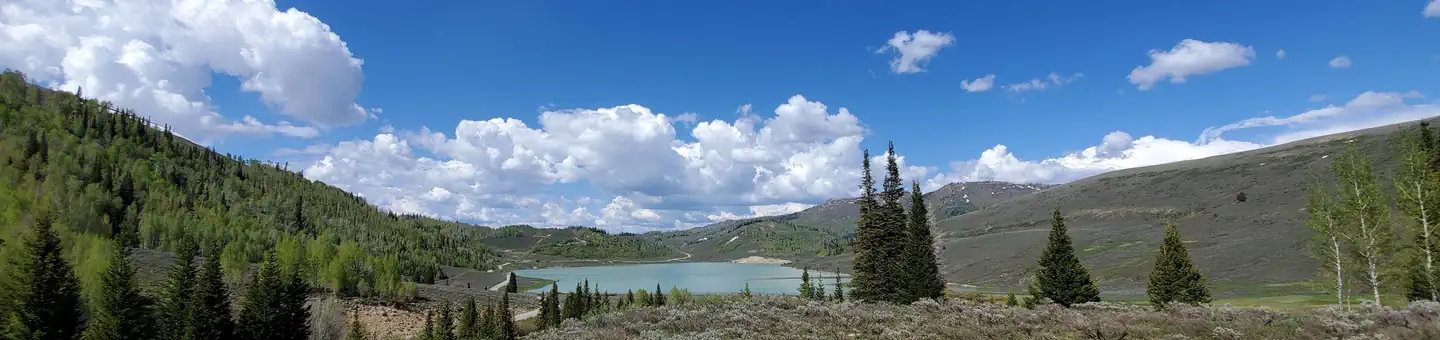 Miller Flat Reservoir CampgroundCampground · 4 sites
Overview Miller Flat Reservoir Campground is located in a high mountain valley near Miller Flat Reservoir, at an elevation of 8,500 feet.
- Millsite Day UseFacility · not watchable
Millsite Reservoir west of Ferron in (Emery Country) and is located at the mouth of Ferron Canyon.
- Mineral Bottom Recreation SiteFacility · not watchable
Boat take out for Labyrinth Canyon float trip. A trip through Labyrinth Canyon on the lower Green River can be enjoyed almost any time of the year, except in…
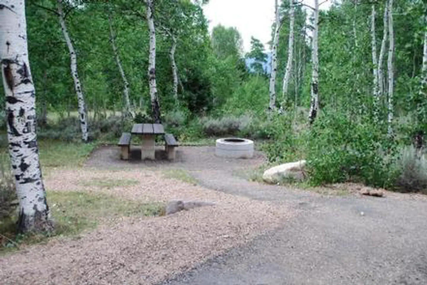 Miners GulchCampground
Overview Miners Gulch Campground was affected by large debris in 2023 that cause irrepairable damage and is no longer open to the Public.
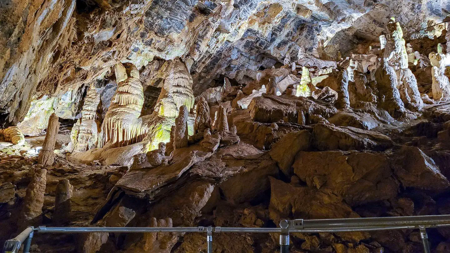 Minnetonka Cave TicketsTickets
Minnetonka Cave is located on the Cache National Forest in Idaho. It is one of the premier show caves in the United States.
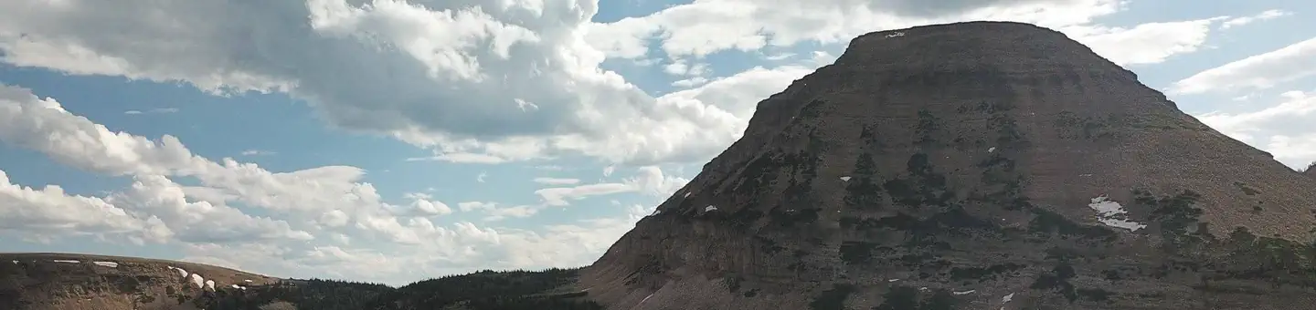 Mirror LakeCampground · 77 sites
Overview Mirror Lake Campground is located just off the Mirror Lake Scenic Byway on the shores of its beautiful namesake lake at an elevation of 10,400 feet.
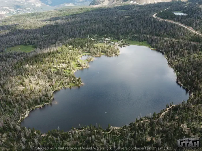 Mirror Lake Guard StationCampground · 1 sites
Overview This is a unique recreational experience of staying in a historic Forest Service cabin while providing funds for the ongoing maintenance and…
- Mirror Lake Scenic BywayFacility · not watchable
Heading east from Kamas through the national forest, Mirror Lake Highway is one of the most popular mountain routes in the state.
- Moab Brands TrailheadFacility · not watchable
The Moab Brands Trails are just north of Moab. The original trail names are based on cattle brands and spell out M-O-A-B.
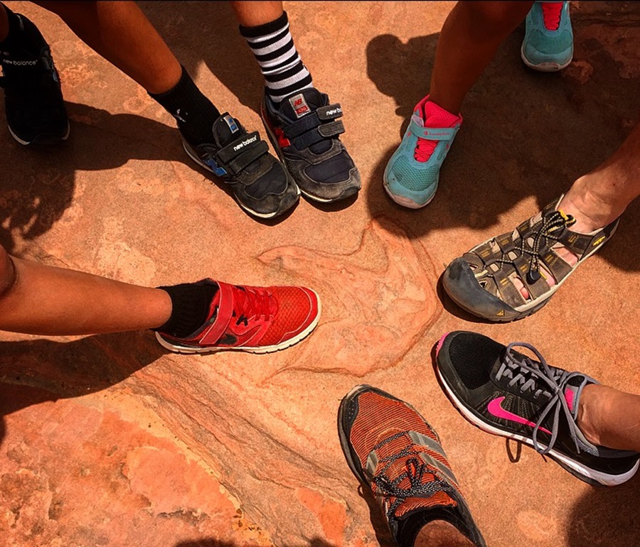 Moccasin Mountain Dinosaur TracksiteFacility · not watchable
The Moccasin Mountain Dinosaur Tracksite is one of Utah’s most significant fossil track localities located on BLM-managed lands near Kanab.
- Monitor and Merrimac TrailheadFacility · not watchable
The Monitor and Merrimac Trailhead offer views of the Monitor and Merrimac buttes, Determination Towers, and the Mill Canyon Dinosaur Trail.
 Monte CristoCampground · 46 sites
Overview Monte Cristo Campground is located 30 miles east of Huntsville, Utah, at an elevation of 9,000 feet.
- Monticello Lake Fishing SiteFacility · not watchable
The Monticello Lake Fishing Site is located next to Monticello Lake, a 5 acre lake located about 0.2 miles off FH 49 Loop/Harts Draw down Forest Road #114.
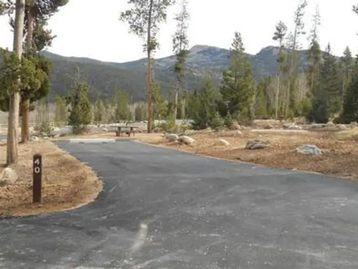 Moon Lake CampgroundCampground · 54 sites
Overview Moon Lake Campground is located on the shores of the scenic two mile long Moon Lake on the southern slope of the 13,000 foot peaked Uinta Mountains.
 Moon Lake Group CampgroundCampground · 2 sites
Overview Moon Lake Group Campground is located on the shores of scenic Moon Lake on the southern slope of the Uinta Mountains.
- Moonshine Arch TrailheadFacility · not watchable
Moonshine Arch spans a length of 85 feet and a height of 40 feet. It is tucked among the Weber sandstone formation at the base of Red Mountain.
 MoosehornCampground · 32 sites
Overview Moosehorn Campground is located just off the Mirror Lake Scenic Byway on the shores of Moosehorn Lake at an elevation of 10,400 feet.
- More Cowbell TrailFacility · not watchable
Recommended Users: Mountain Bikers, Hikers. Singletrack trail. 2.5 miles in length. Difficulty: Moderate/Easiest.
- Mount Ellen Summit TrailheadFacility · not watchable
This trail leads from the parking lot at the top of Bull Creek Pass north to the summit of Mount Ellen (11,480 feet), which is located inside the Mount…
 Mt Terrill Guard StationCampground · 1 sites
Overview Mt Terrill Guard Station is located on the Fishlake National Forest in Central Utah about 30 miles southeast of Salina.
- Mt. Harrison LookoutFacility · not watchable
This lookout post was established in the 1930's before a trailer lookout was added in 1960.
- Mt. Nebo Scenic BywayFacility · not watchable
From Nephi to Payson, this route has breathtaking views of the Wasatch Range and 11,877-foot Mt. Nebo, its tallest mountain.
 Mueller Park Group PicnicCampground · 54 sites
Overview Mueller Park Group Picnic Area is located just 5 miles from Bountiful, Utah, at an elevation of 5,400 feet.
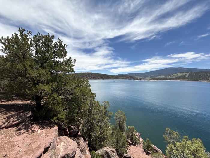 Mustang Ridge CampgroundCampground · 69 sites
Overview Mustang Ridge Campground is located on a high desert bluff above beautiful Flaming Gorge Reservoir at an elevation of 6,300 feet.
 NORTH FORK CAMPGROUND - St. CHARLES CANYONCampground · 1 sites
Overview North Fork Campground is located in scenic St. Charles Canyon in southern Idaho, near Bear Lake.
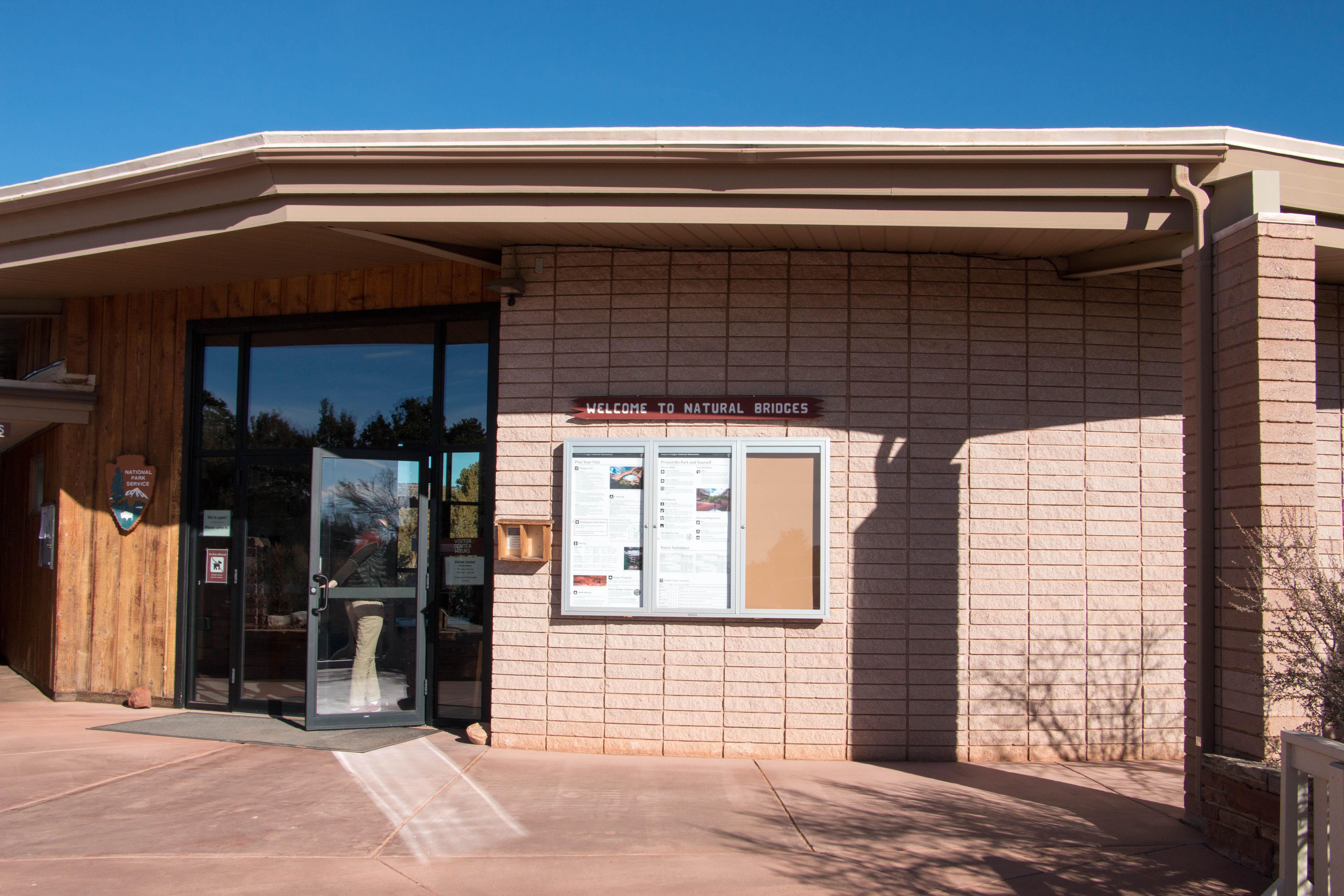 Natural Bridges Visitor CenterFacility · not watchable
During the main season (April through September), Natural Bridges Visitor Center is typically open seven days a week, 9 am to 4 pm.
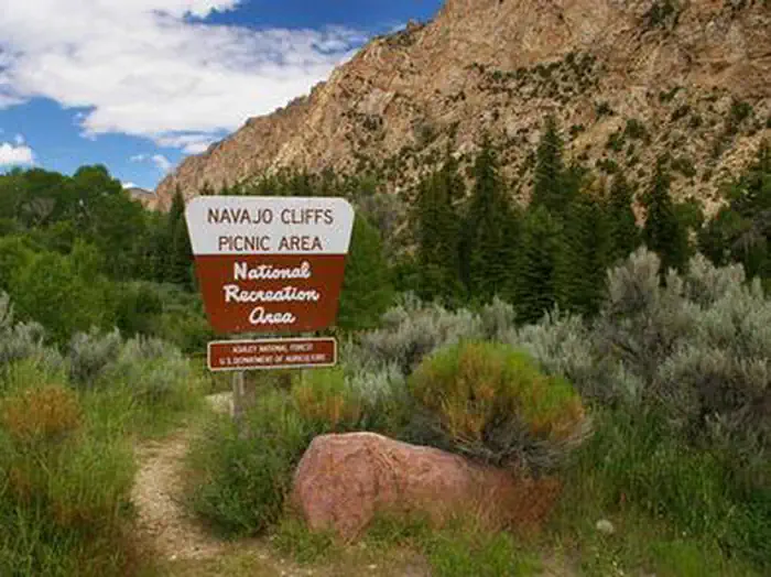 Navajo CliffsCampground · 1 sites
Overview Navajo Cliffs is an ideal group day-use site for weddings, reunions and large gatherings.
- Navajo LakeFacility · not watchable
Picturesque Navajo Lake was originally know to the piute Indians as Pa-cu-ay, meaining "Clound Lake." The lake came into being when a lava flow dammed the…
 Navajo Lake CampgroundCampground · 27 sites
Overview Navajo Lake Campground, located on the south shore of Navajo Lake, it provides a spectacular setting for boating, camping, fishing, hiking, biking and…
- New Joe's Bouldering Area CGFacility · not watchable
The Joe’s Valley Bouldering area offers world class bouldering opportunities with over 188 bouldering sites and 9.7 miles of social trails in the area.
- Nine Mile Canyon Back Country BywayFacility · not watchable
Often described as “the world’s longest art gallery,” the Nine Mile Canyon Back Country Byway offers a remarkable drive through a 40‑plus‑mile red rock canyon…
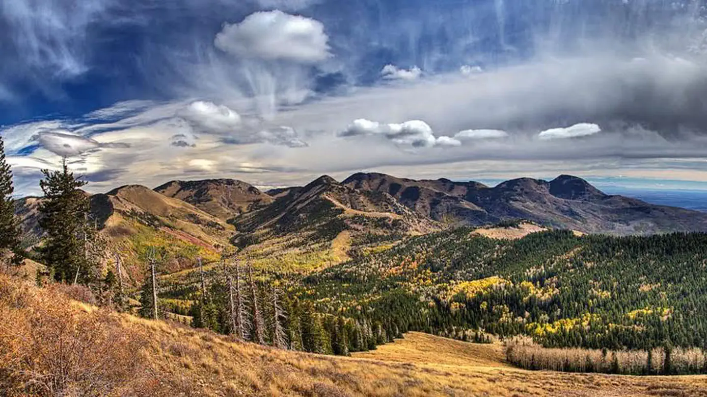 NizhoniCampground · 23 sites
Overview Nizhoni Campground sits in the Manti-LaSal National Forest in southeast Utah, at the foot of the Abajo Mountains. Recreation Popular activities…
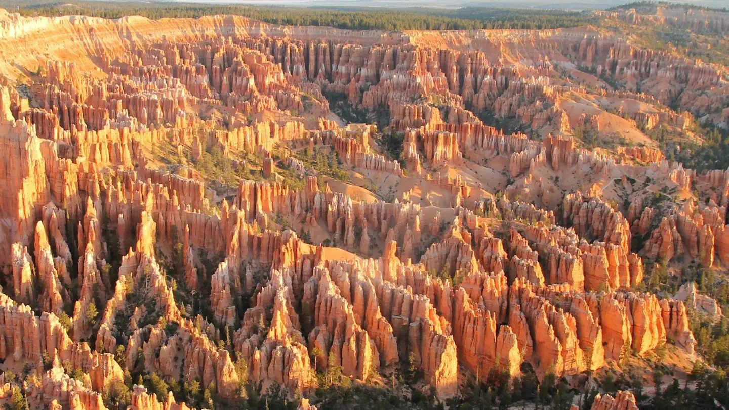 North Campground (UT)Campground · 98 sites
Overview North Campground is located in the beautiful and unique Bryce Canyon National Park.
- North Entrance Bloomington CaveFacility · not watchable
Recommended Users: Hikers. Singletrack trail. 0.07 miles in length. Difficulty: Moderate.
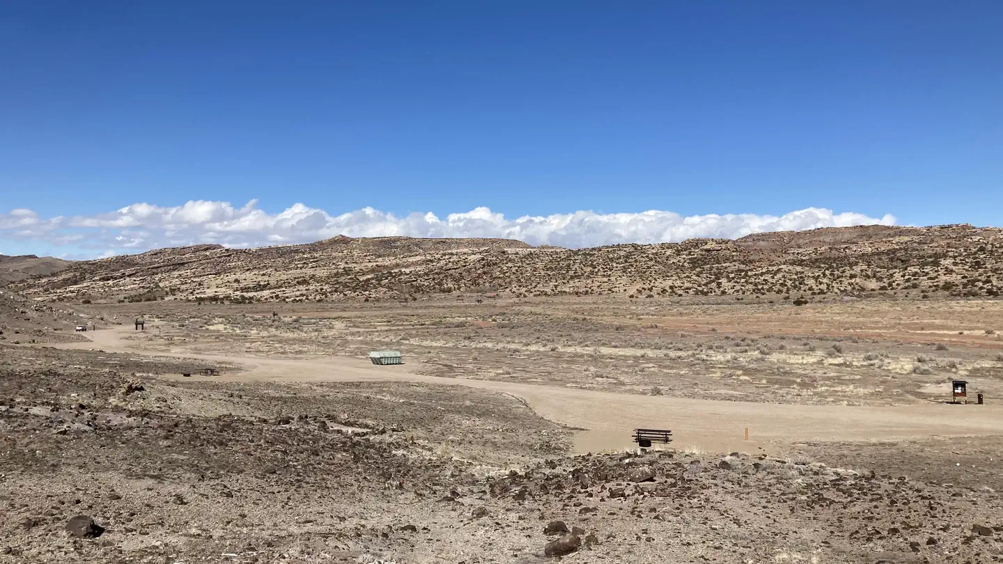 North Klondike CampgroundCampground · 27 sites
Overview The North Klondike Campground is a mountain biker's paradise with campsites situated a short bike ride away from the North Klondike trail system.
- North Rim TrailFacility · not watchable
Recommended Users: Mountain Bikers, Hikers. Singletrack trail. 2.1 miles in length. Difficulty: More Difficult.
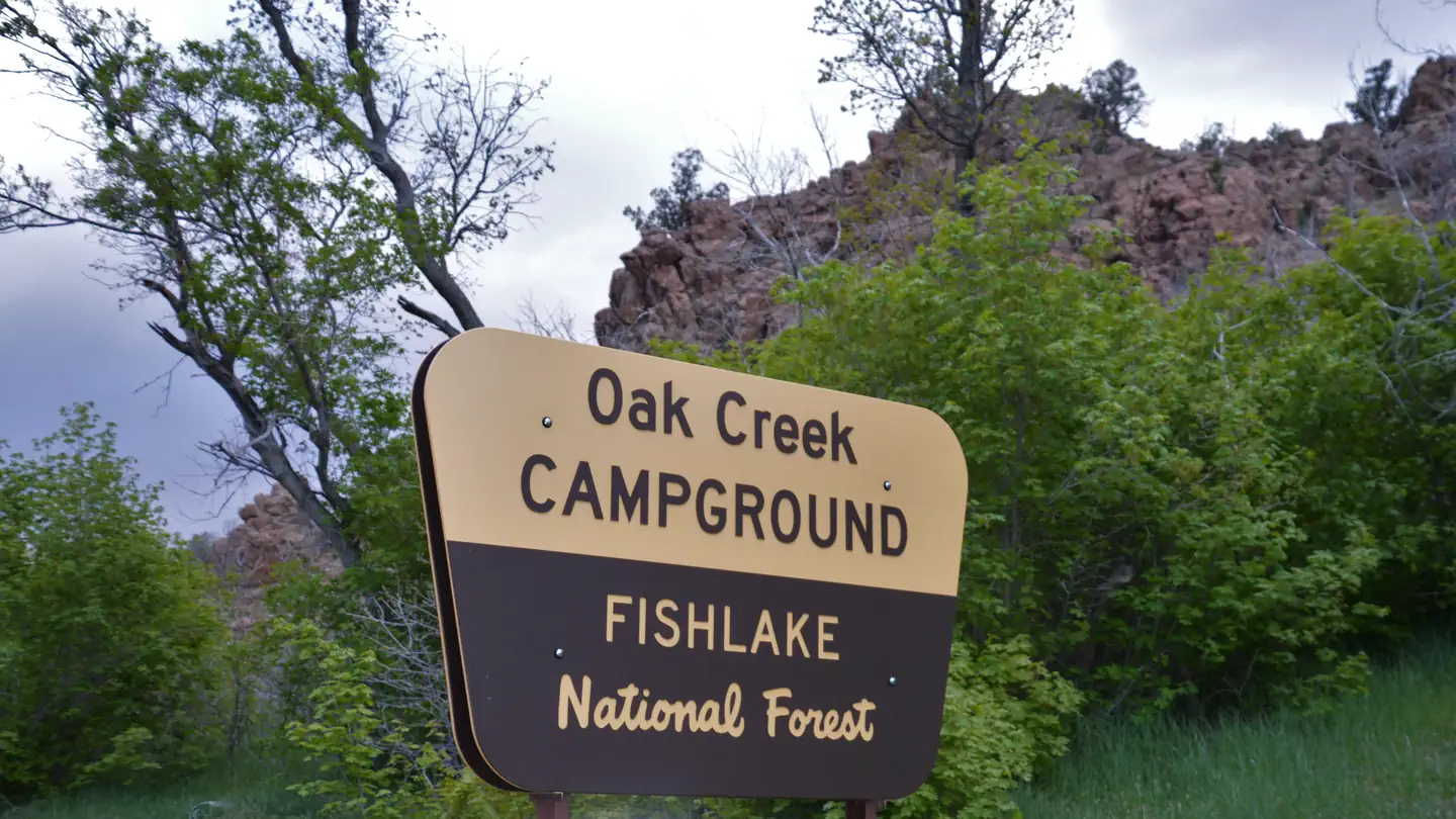 Oak Creek Campground (Oak City, UT)Campground · 21 sites
Overview Oak Creek Campground is located in the scenic Oak Creek Canyon of central Utah's Fishlake National Forest.
- Oak Creek Rec Site (Boulder, UT)Campground · 9 sites
Overview Oak Creek Campground is located high on the Colorado Plateau at an elevation of 8300 feet. Torrey, Utah is just 20 miles northwest.
- Oak Grove CampgroundCampground · not watchable
Campsites with spectacular views of the Colorado River that accommodate tents only (no trailers or large vehicles).
- Oaks Park CampgroundCampground · not watchable
There are 11 campsites on the south shore of large and lovely Oaks Park Reservoir. There is a pump handle well on the west shore of the reservoir.
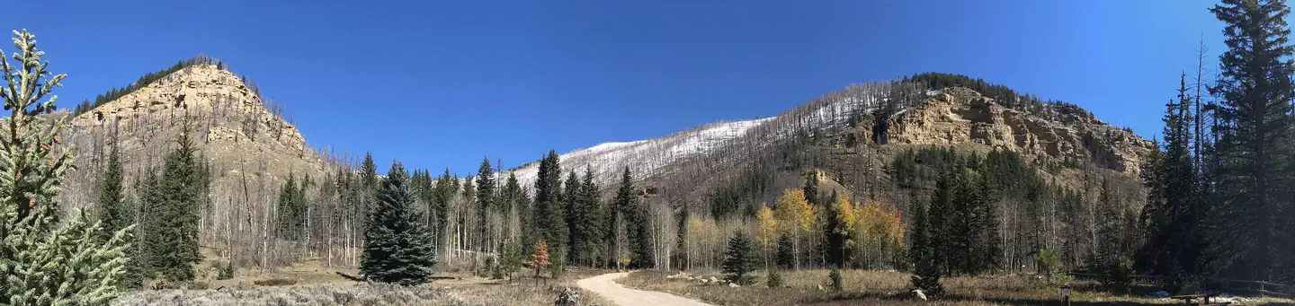 Old Folks FlatCampground · 9 sites
Overview Old Folks Flat Campground is nestled in beautiful Huntington Canyon along the Huntington Canyon National Scenic Byway on Utah Highway 31.
 Orange OlsenCampground · 2 sites
Overview Orange Olsen is located at 7,000 feet with a panoramic view of Joes Valley.
- Orderville Gulch TrailheadFacility · not watchable
While hiking in Orderville Gulch, you experience sheer cliffs that tower overhead.
- Otter Creek, Fishermans Beach Rec SiteFacility · not watchable
Otter Creek has an activity for almost everyone. The cold, clear water of this large reservoir offers year-round fishing for rainbow trout.
- Otter Creek, South Point Recreation SiteFacility · not watchable
Otter Creek has an activity for almost everyone. The cold, clear water of this large reservoir offers year-round fishing for rainbow trout.
- Otter Creek, Tamarisk Point Rec SiteFacility · not watchable
Otter Creek has an activity for almost everyone. The cold, clear water of this large reservoir offers year-round fishing for rainbow trout.
- Ouray National Fish HatcheryFacility · not watchable
The Ouray National Fish Hatchery was established in 1996 to provide refuge, propagation, and technical development to assist in the recovery of the four…
- Pahvant Valley Heritage Trail includes: Sunstone Knoll, Great Stone Face, Lace Curtain, Pahvant Butte, Devil's Curtain, Lava Tubes and Hole in the Rock.Facility · not watchable
Have a few hours, or a whole day to explore and see some sights? Stop by and visit Fort Deseret, Great Stone Face, Sunstone Knoll, Clear Lake, Devils Kitchen…
- Paiute CampgroundCampground · 48 sites
Overview Paiute Campground is 29 miles north of Loa, Utah, on Highway 25 adjacent to Johnson Reservoir at 8,800 feet elevation.
- Paiute Wilderness AreaFacility · not watchable
The 87,900-acre Paiute Wilderness, several miles southwest of St. George, Utah, dominates the northwest portion of the Arizona Strip.
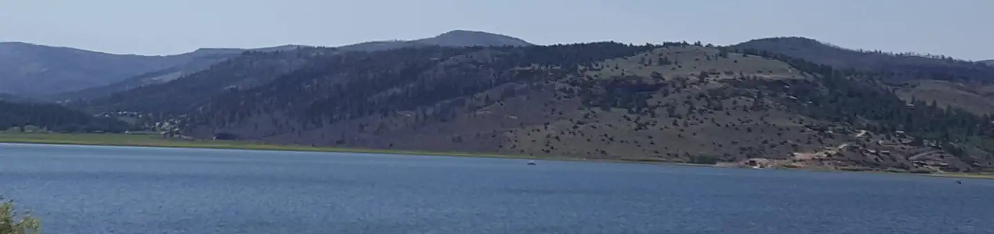 Panguitch LakeCampground · 50 sites
Overview Panguitch Lake Campground is located 14 miles southwest of Panguitch, Utah.
- Panguitch LakeFacility · not watchable
Panguitch Lake is situated at an elevation of 8,212 feet approximately 18 miles southwest of Panguitch, Utah.
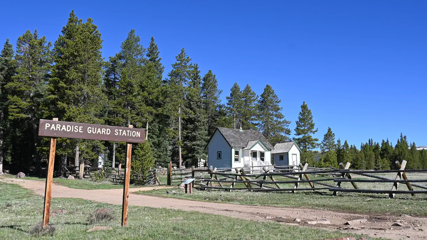 Paradise Guard StationCampground · 1 sites
Overview Paradise Guard Station is located on the Ashley National Forest, approximately 25 air miles northwest of Vernal, in eastern Utah.
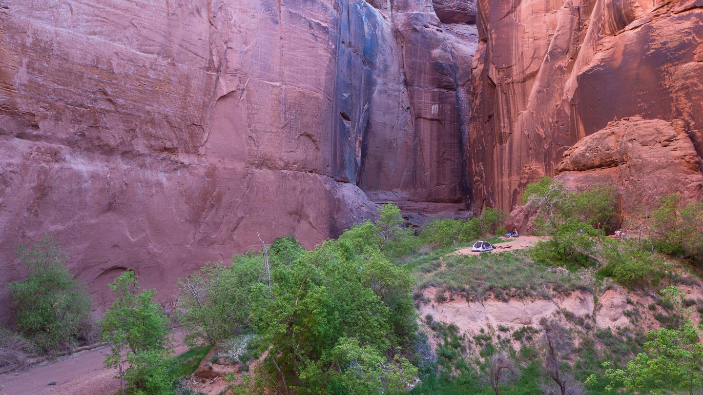 Paria Canyon Overnight PermitPermit
Paria Canyon's outstanding scenery, desert wildlife, colorful history, and opportunities for primitive recreation will remain free from the influence of man…
- Paria Contact StationFacility · not watchable
The Paria Contact Station is a seasonally staffed information center primarily focused on assisting guests visiting the Paria Canyon-Vermilion Cliffs…
- Paria Movie Set Day Use SiteFacility · not watchable
Settled by Mormon pioneers in 1865, a few foundations and a cemetery are all that remain.
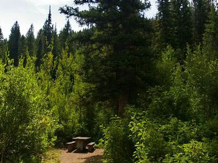 Paris Springs CampgroundCampground · 12 sites
Overview Paris Springs Campground is situated in scenic Paris Canyon, about five miles from Paris, Idaho.
- Paul Bunyon's WoodpileFacility · not watchable
A geologic curiosity - rare in Utah - the "Woodpile" is a cluster of lava logs formed about 30 million years ago during the Eocene Period.
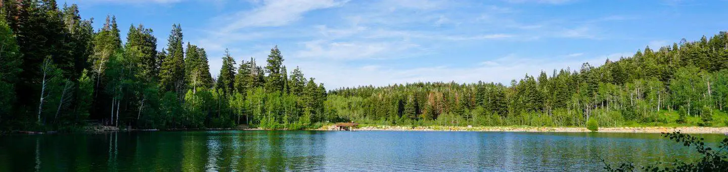 Payson LakesCampground · 86 sites
Overview Payson Lakes Campground is a local favorite, located just 12 miles from Payson, Utah.
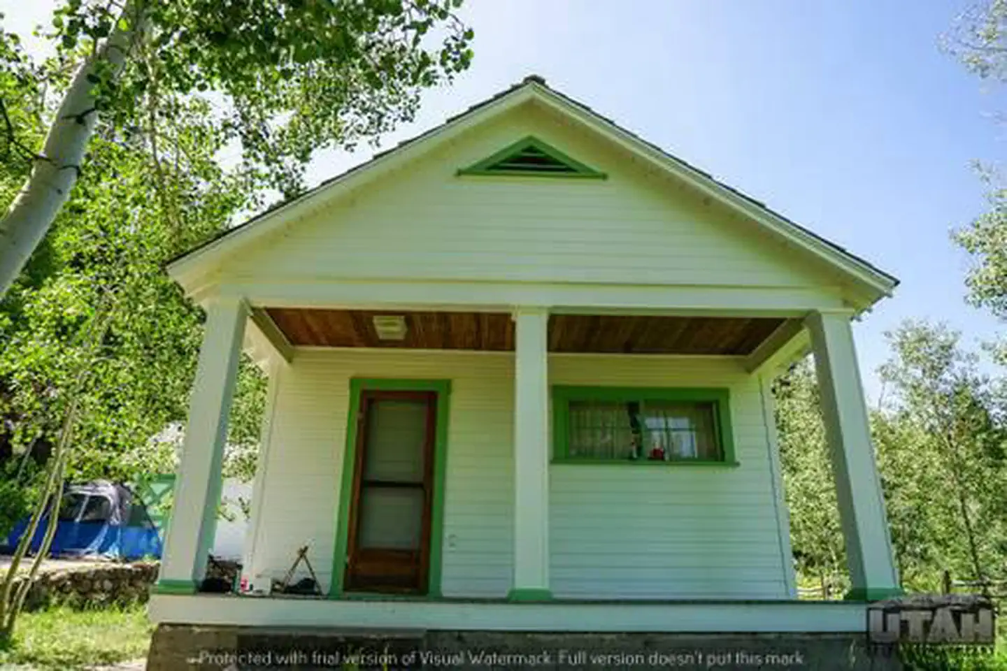 Payson Lakes Guard StationCampground · 1 sites
Overview Payson Lakes Guard Station is located in the Uinta National Forest, approximately 13 miles south of Payson, Utah, along the Mount Nebo Scenic Byway.
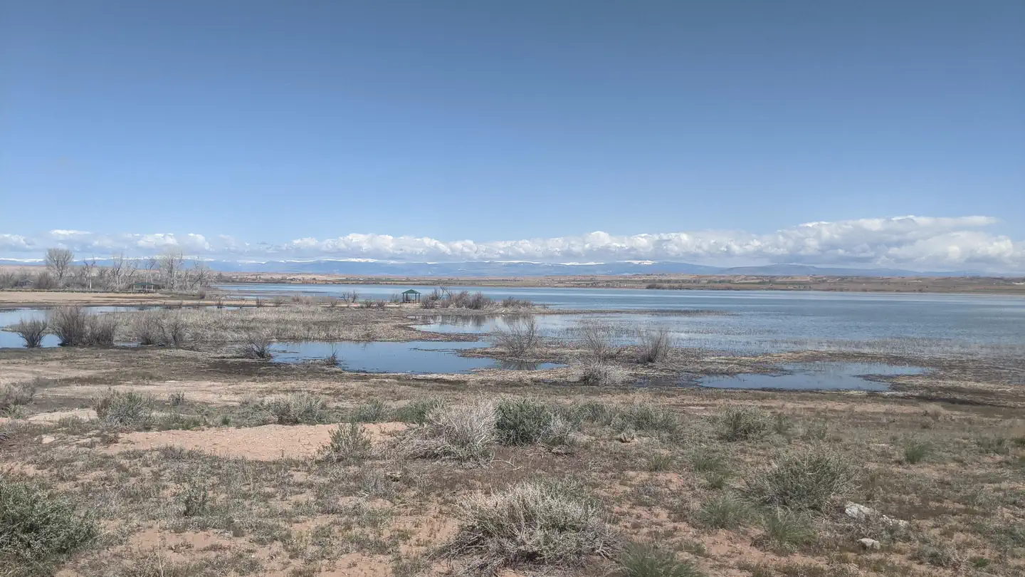 Pelican Lake CampgroundCampground · 13 sites
Overview This Campground is on a First Come - First Serve Basis, vistors are required to physically be at the campground to purchase and claim a site.
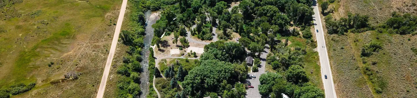 Perception ParkCampground · 19 sites
Overview Perception Park is located on the banks of the South Fork Ogden River at an elevation of 5,200 feet. Huntsville, Utah, is just over 7 miles away.
- Pettit CampgroundCampground · not watchable
Pettit Campground and Picnic Area is composed of 8 individual units.The area is suitable for motor homes, trailers and tent camping. This is a fee campground.
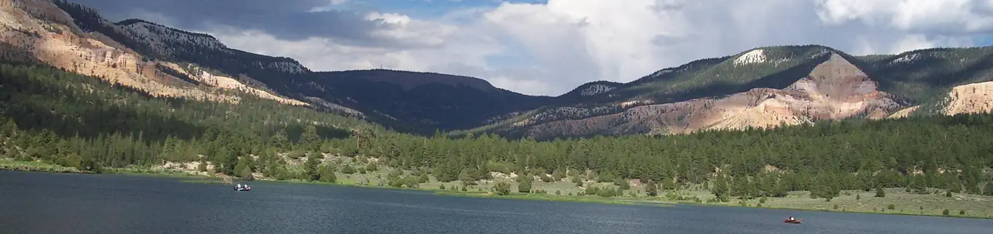 Pine Lake CampgroundCampground · 32 sites
Overview Pine Lake Campground is located next to its scenic namesake lake high on the Colorado Plateau at an elevation of 8,100 feet.
- Pine Spring KioskFacility · not watchable
The Pine Spring Kiosk offers an unimproved staging area and a map kiosk. Water and other amenities are not available. This area is also used for grazing.
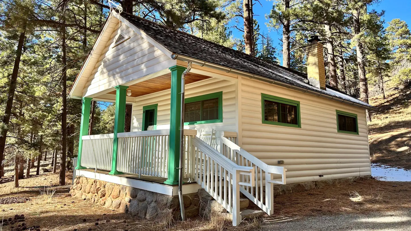 Pine Valley Guard StationCampground · 1 sites
Overview Pine Valley Guard Station is located in scenic Pine Valley Recreation Area, about 45 minutes from St. George, Utah.
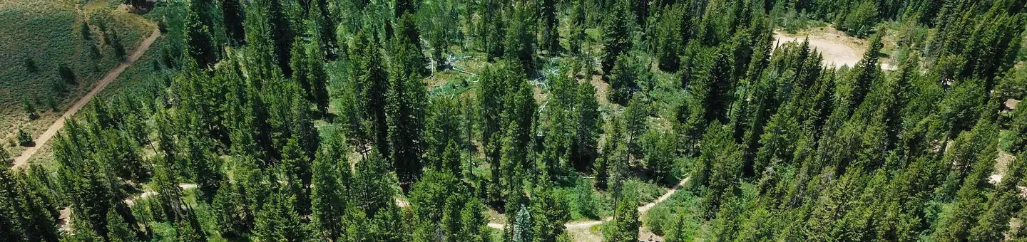 Pine Valley North Wasatch CachCampground · 3 sites
Overview Pine Valley North Wasatch Cache Group Campground is located on the beautiful Mirror Lake Scenic Byway in the Uinta Mountains of northeastern Utah.
- Pine Valley Ranger DistrictFacility · not watchable
The Pine Valley Ranger District is known for its distinctive vegetation, ranging from Pinyon/Juniper to Engelmann Spruce forests.
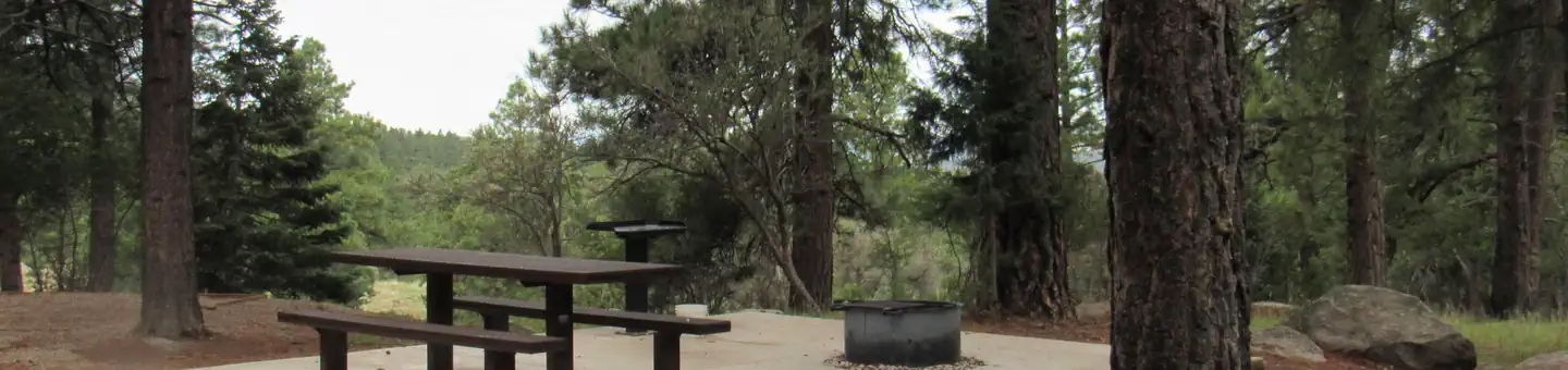 Pine Valley Recreation AreaCampground · 68 sites
Overview A location closure has been issued due to a wildfire that started by lightning, the facility is closed at this time.
 Pioneer Campground (UT)Campground · 17 sites
Overview Pioneer campground is located on the banks of the Blacksmith Fork River about 9 miles from Hyrum, Utah at an elevation of 5,600 feet.
- Pipe Dream TrailheadFacility · not watchable
The Pipe Dream trail system (created in 2010) is the closest trail system to Moab.
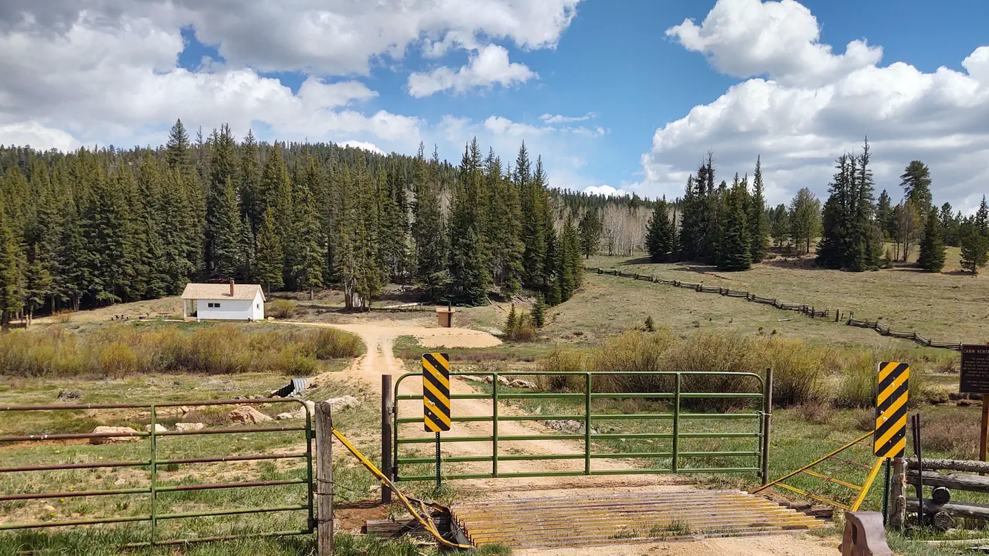 Podunk Guard StationCampground · 1 sites
Overview Podunk Guard Station is located next to the East Fork Sevier River, in the Dixie National Forest in southern Utah.
 Point Supreme CampgroundCampground · 25 sites
Overview The Point Supreme Campground in Cedar Breaks National Monument offers a camping experience at 10,000 feet in elevation.
- Poison Spider Bench TrailheadFacility · not watchable
Length of Hike: 1.25 miles one wayType of Hike: Hiking is on an old road that has been closed to motorized and mechanized useArea Attractions: At the end of…
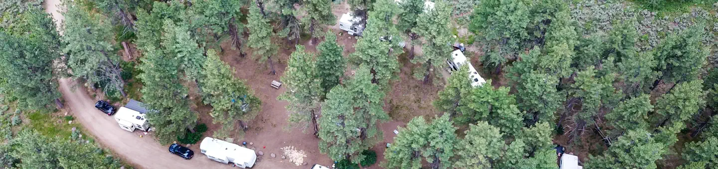 Ponderosa Group CampgroundCampground · 1 sites
Overview Ponderosa Group Campground is located just off the Mirror Lake Scenic Byway at an elevation of 7,400 feet.
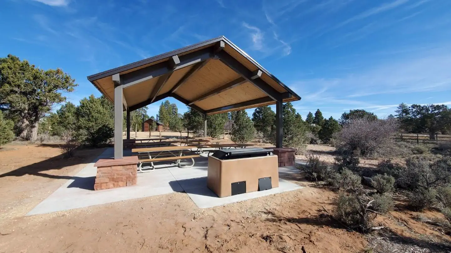 Ponderosa Grove CampgroundCampground · 35 sites
Overview The Ponderosa Grove campground is situated approximately eight miles to the northwest of Kanab, Utah, at 6,300 feet in elevation and is named for the…
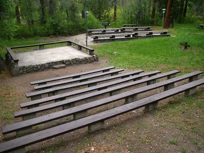 Ponderosa Picnic AreaCampground · 2 sites
Overview Ponderosa Picnic Area is located along the Beaver Canyon Scenic Byway. It is next to the Beaver River, at an elevation of 7,000 feet.
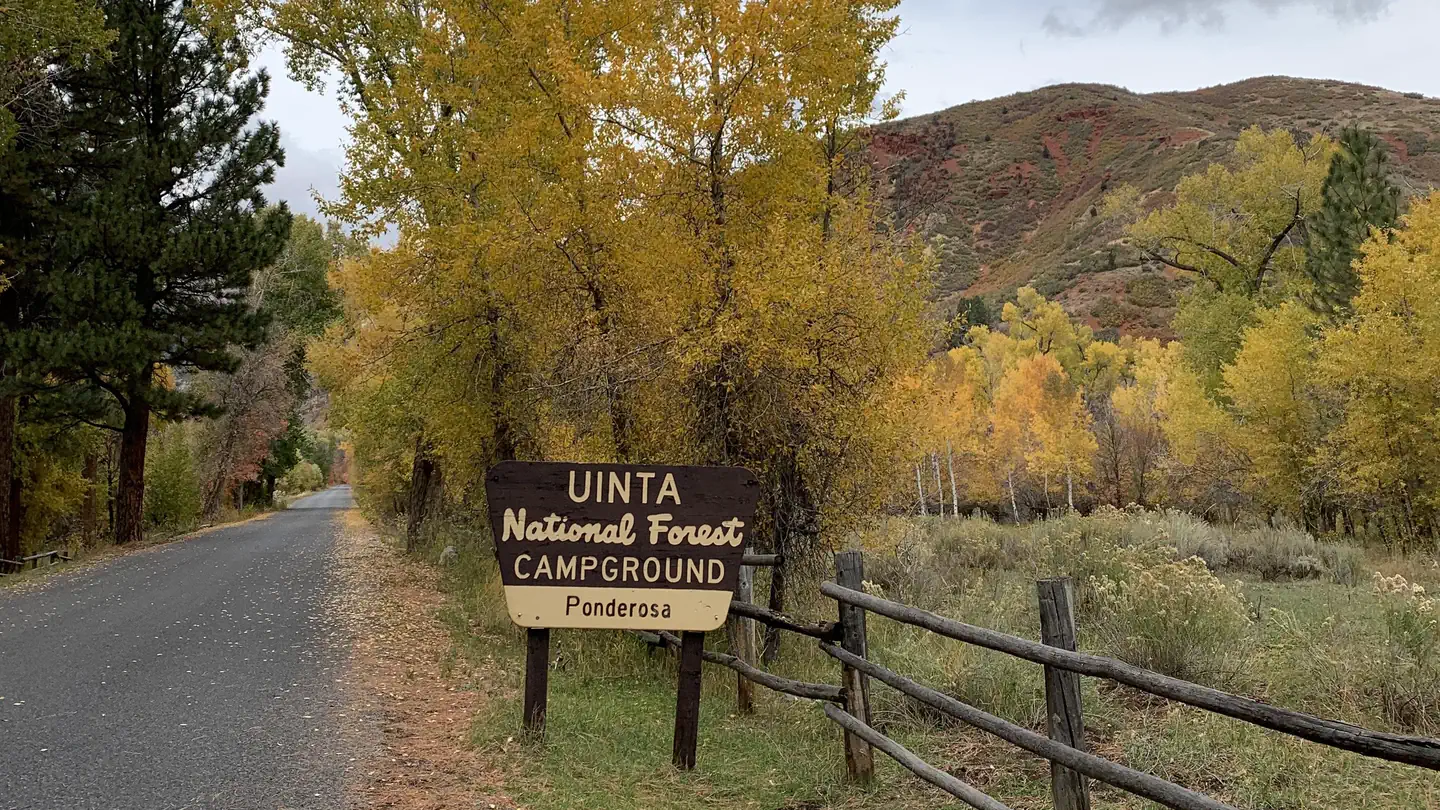 Ponderosa UintaCampground · 23 sites
Overview Ponderosa Campground is nestled in scenic Bear Canyon just off the Nebo Loop Scenic Byway at an elevation of 6,200 feet.
- Pony Express Trail includes: Boyd StationFacility · not watchable
Boyd Station survives as one of the best preserved Express Stations in Utah. This preservation is probably due to the fact that Bid Boyd, station master,…
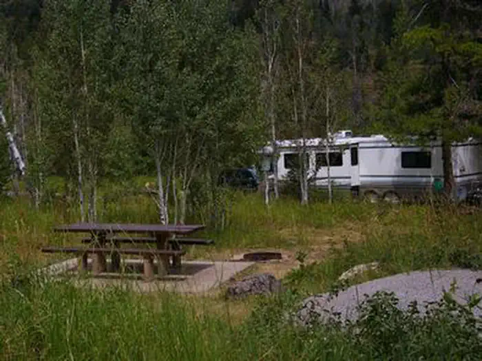 Porcupine (Id)Campground · 17 sites
Overview Porcupine Campground is situated on St. Charles Creek in a scenic canyon in the rolling Idaho forests.
- Porcupine Rim TrailheadFacility · not watchable
Porcupine Rim is one of the iconic trails that made Moab a destination for mountain bikers.
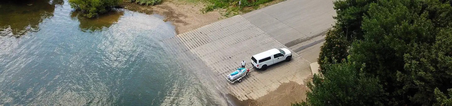 Port Ramp MarinaCampground · 50 sites
Overview Port Ramp Marina is a boat slip rental facility located just 10 miles from Ogden, Utah, on the west side of Pineview Reservoir in scenic Ogden Valley.
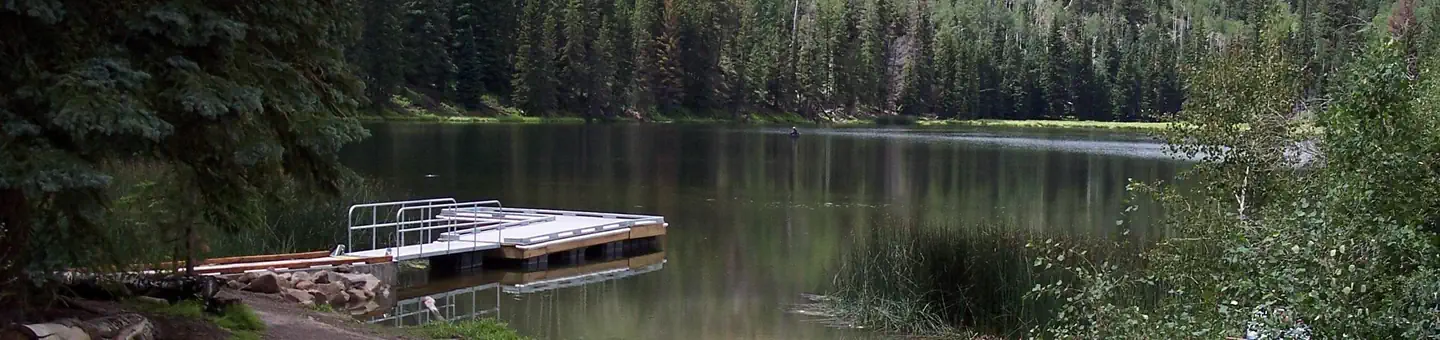 Posey Lake CampgroundCampground · 21 sites
Overview Posey Lake Campground is located next to its beautiful namesake lake high on the Colorado Plateau at an elevation of 8,800 feet.
 Potters PondCampground · 19 sites
Overview Potters Pond Campground is located in a high mountain valley next to two scenic ponds, at an elevation of 8,900 feet.
- Poverty KioskKiosk · not watchable
The Poverty Kiosk offes an unimproved staging area and a map kiosk. Water and other amenities are not available. This area is also used for grazing.
- Powell Ranger DistrictFacility · not watchable
The Powell Ranger District encompasses nearly 400,000 acres of high plateau county, with distinctive vegetation and geological features.
- Practice TrailFacility · not watchable
Recommended Users: Mountain Bikers, Hikers. Singletrack trail. 1.3 miles in length. Difficulty: More Difficult.
- Precipice TrailFacility · not watchable
Recommended Users: Mountain Bikers, Hikers. Singletrack trail. .8 miles in length. Difficulty: Moderate/More Difficult.
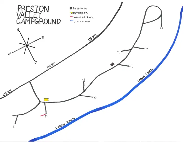 Preston Valley CampgroundCampground · 7 sites
Overview Preston Valley Campground is located in scenic Logan Canyon at an elevation of 5,500 feet.
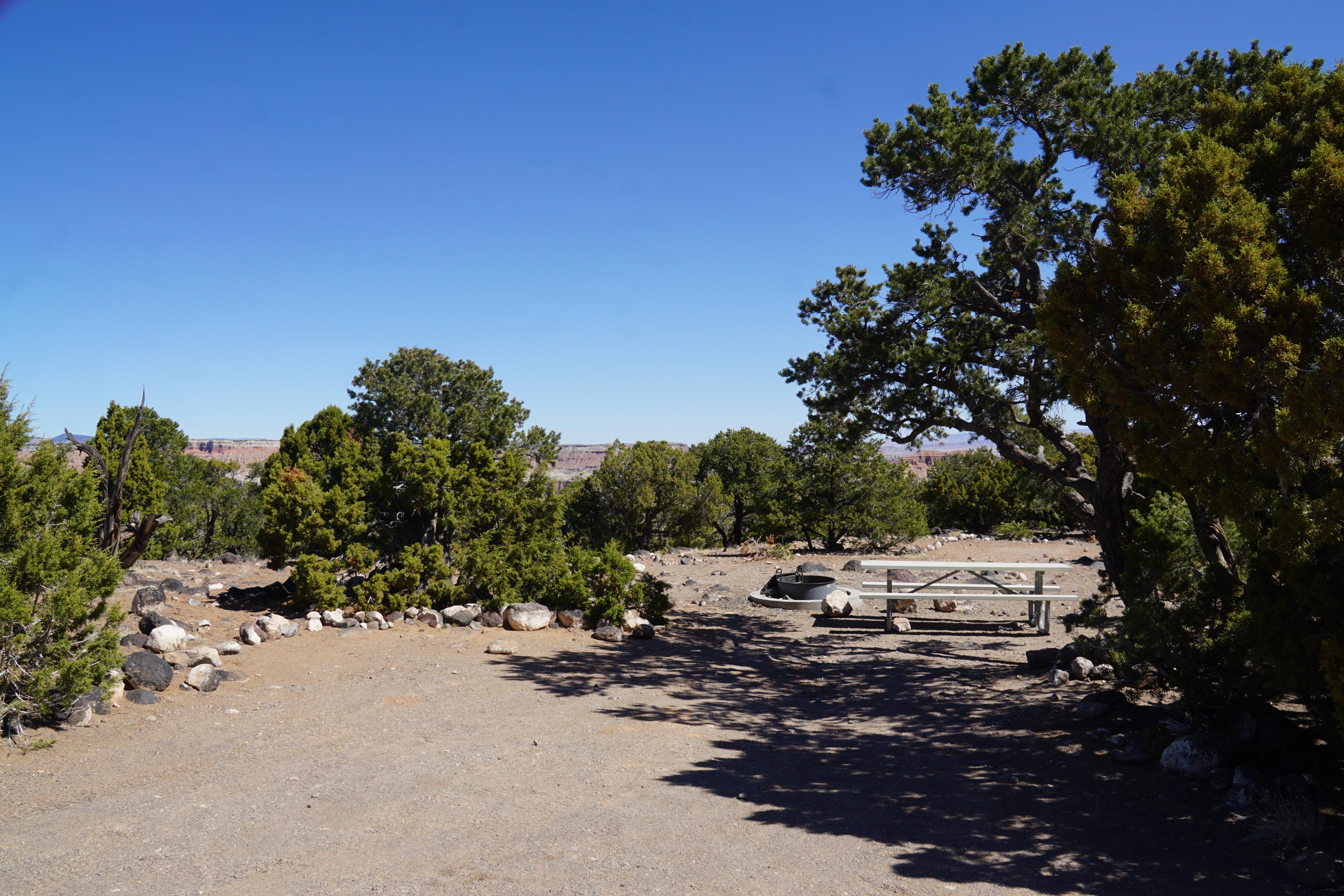 Primitive campsites at Cathedral CampgroundCampground · not watchable
It is located approximately halfway on the Cathedral Valley Loop Road. About 36 miles (57.9 km) from the visitor center, this primitive, no-fee campground has…
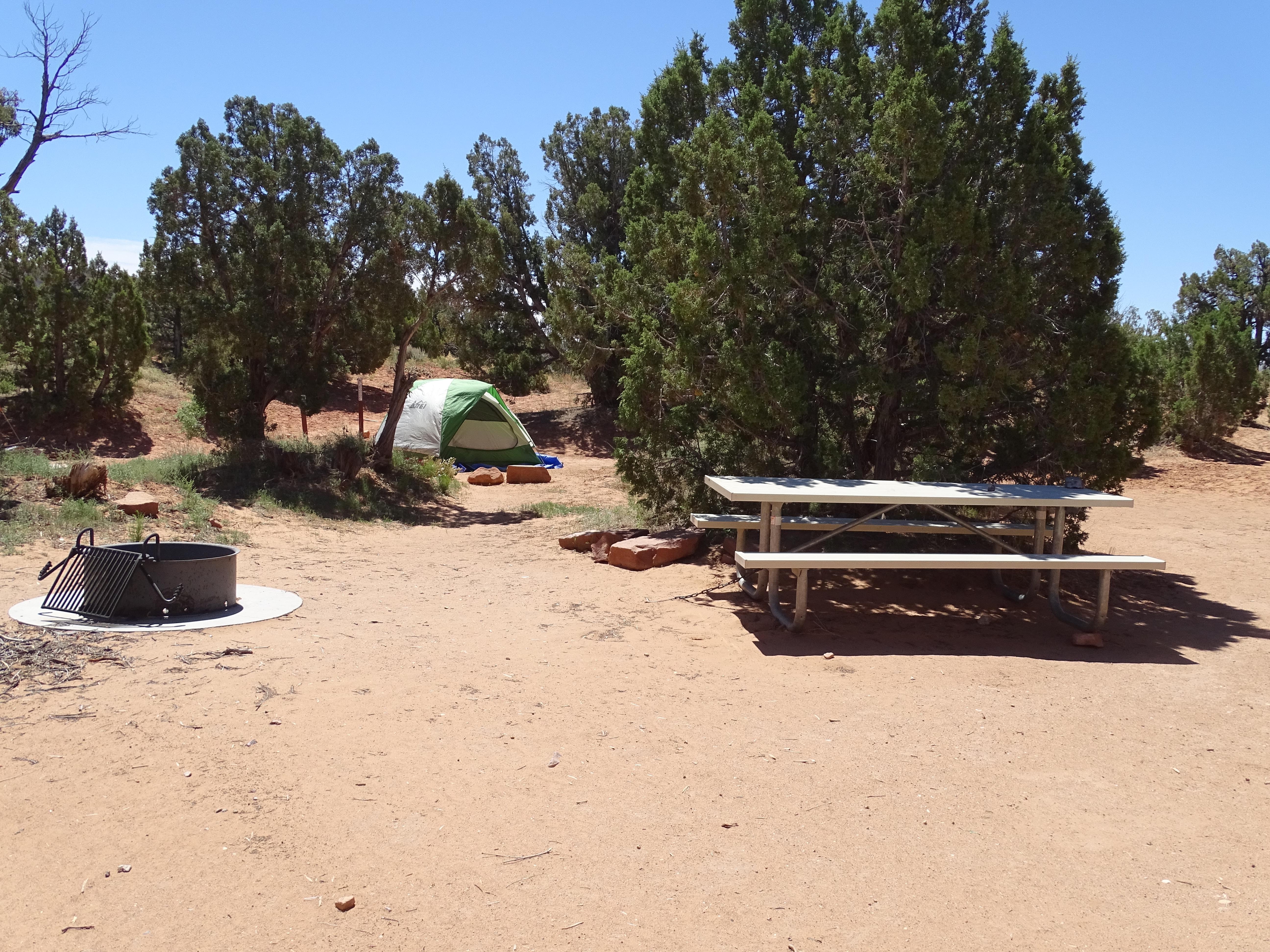 Primitive campsites at Cedar Mesa CampgroundCampground · not watchable
It is located approximately 23 miles (37.0 km) south of Utah State Highway 24 on the Notom-Bullfrog Road and is at 5,500 feet (1,676 m) in elevation.
- Prospector TrailFacility · not watchable
Recommended Users: Mountain Bikers, Hikers, Equestrians.Singletrack trail. 6.85 miles in length. Difficulty: Moderate/More Difficult.
- Prospector Trail SystemFacility · not watchable
The Prospector Trail system was designed by the Utah Division of Parks and Recreation as an off-highway vehicle (OHV) trail system to provide outstanding OHV…
- Quail Creek TrailFacility · not watchable
Recommended Users: Mountain Bikers, Hikers. Singletrack trail. 1 mile in length. Difficulty: Moderate/More Difficult.
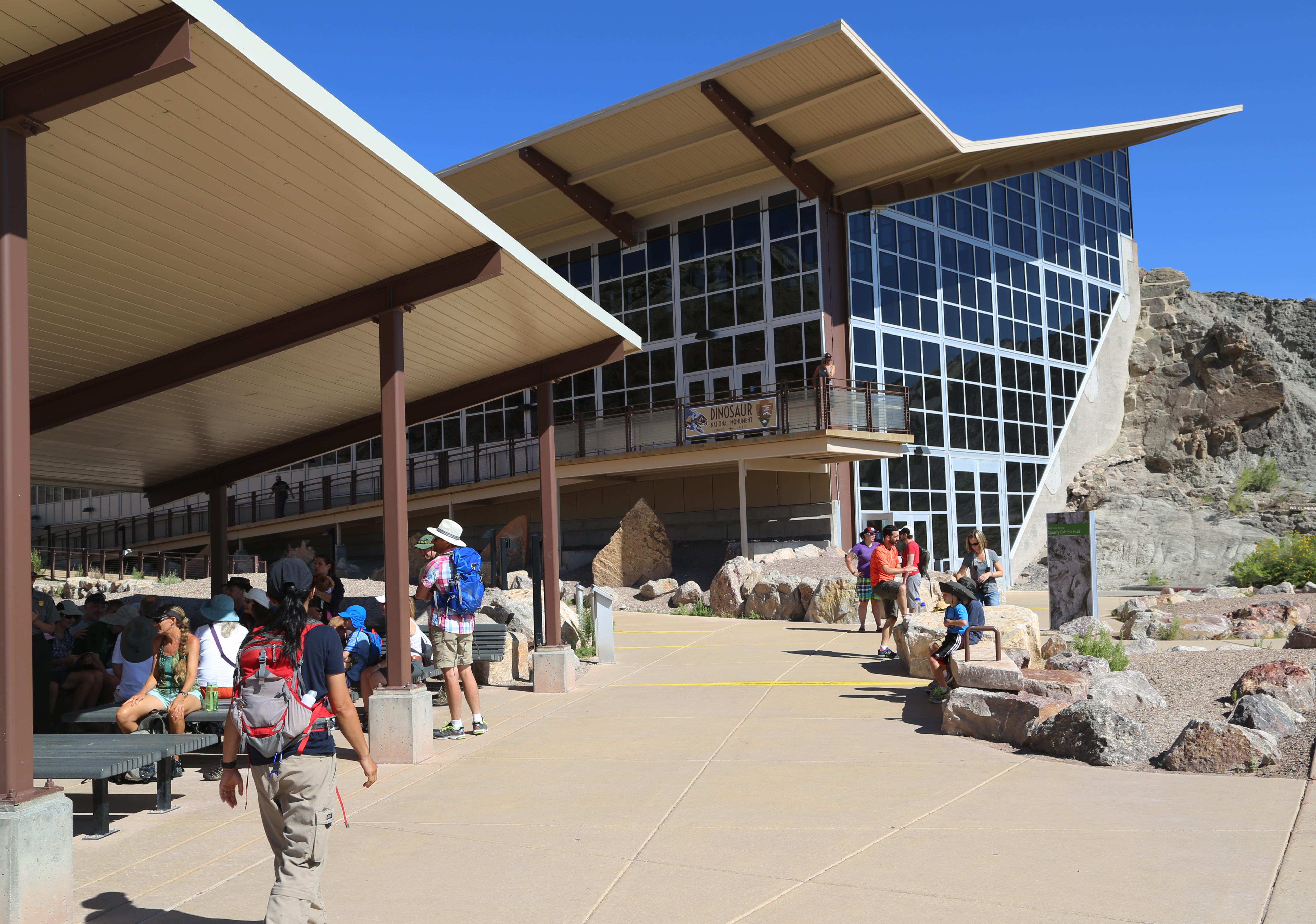 Quarry Exhibit Hall - UtahFacility · not watchable
The Quarry Exhibit Hall is where you can see a wall of approximately 1,500 dinosaur bones.
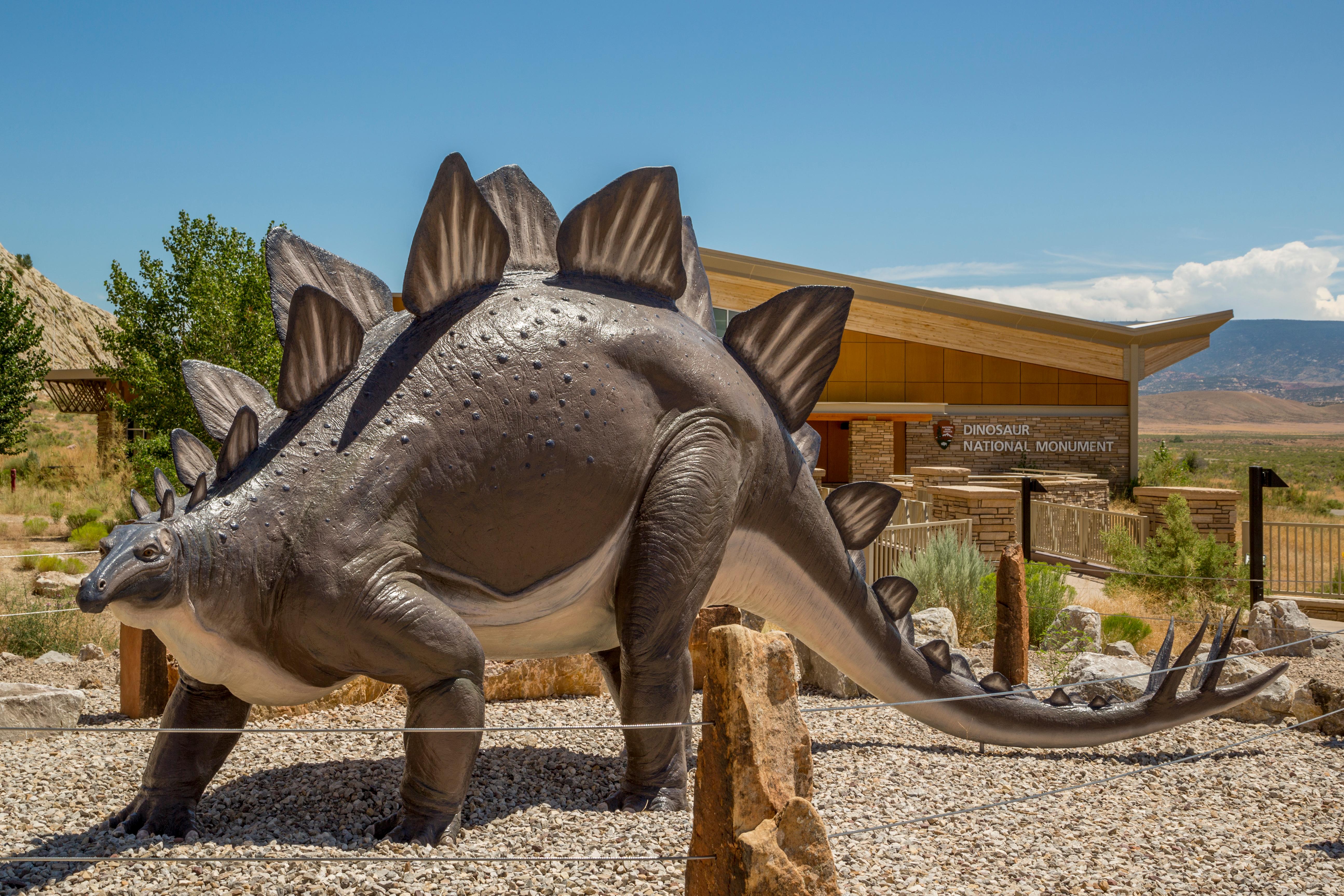 Quarry Visitor Center - UtahFacility · not watchable
Located 7 miles (11 km) north of Jensen, Utah, off Highway 149, the Quarry Visitor Center is the gateway to the Quarry Exhibit Hall and the wall of dinosaur…
 Rainbow Park CampgroundCampground · 4 sites
Overview Rainbow Park Campground is 28 miles (45 km) from the Quarry Visitor Center in the Utah portion of Dinosaur National Monument.
 Rainbow Park CampgroundCampground · not watchable
Rainbow Park Campground is 28 miles (45 km) from the Quarry Visitor Center in the Utah portion of the monument.
 Red Banks CampgroundCampground · 13 sites
Overview Red Banks Campground, located 23 miles northeast of Logan, Utah, sits on the banks of Logan River.
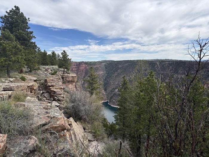 Red Canyon (Ashley National Forest)Campground · 8 sites
Overview Red Canyon Campground is located in a grassy meadow high above Flaming Gorge Reservoir in northeastern Utah along Red Canyon Road at an elevation of…
- Red Canyon Recreation AreaFacility · not watchable
Red Canyon Recreation Area offers many different opportunities in beautiful red rock setting.
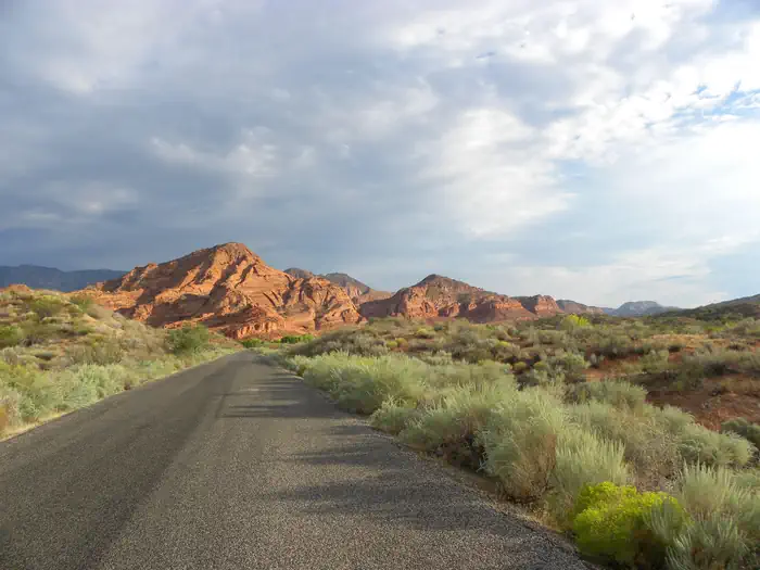 Red Cliffs CampgroundCampground · 11 sites
Overview Red Cliffs Recreation Area includes a campground, day use areas, a non-motorized trail system, and interpreted public use sites.
- Red Hollow TrailheadFacility · not watchable
Thunderbird Canyons Trail System: 12+ miles Recommended uses: mountain biking, hiking, and trail running Difficulty: intermediate and advanced Red Hollow is…
- Red Reef East TrailFacility · not watchable
Recommended Users: Hikers. Two-track. 0.89 miles in length. Difficulty: Moderate. Red Reef East Trail starts in the campground between campsites #8 and #9.
- Red Reef TrailFacility · not watchable
Trail Description Trail Distance: 5.74 miles (one way) Approximate Elevation Gain/Loss: 600 feet From the Red Reef Trailhead The Red Reef Trail follows the…
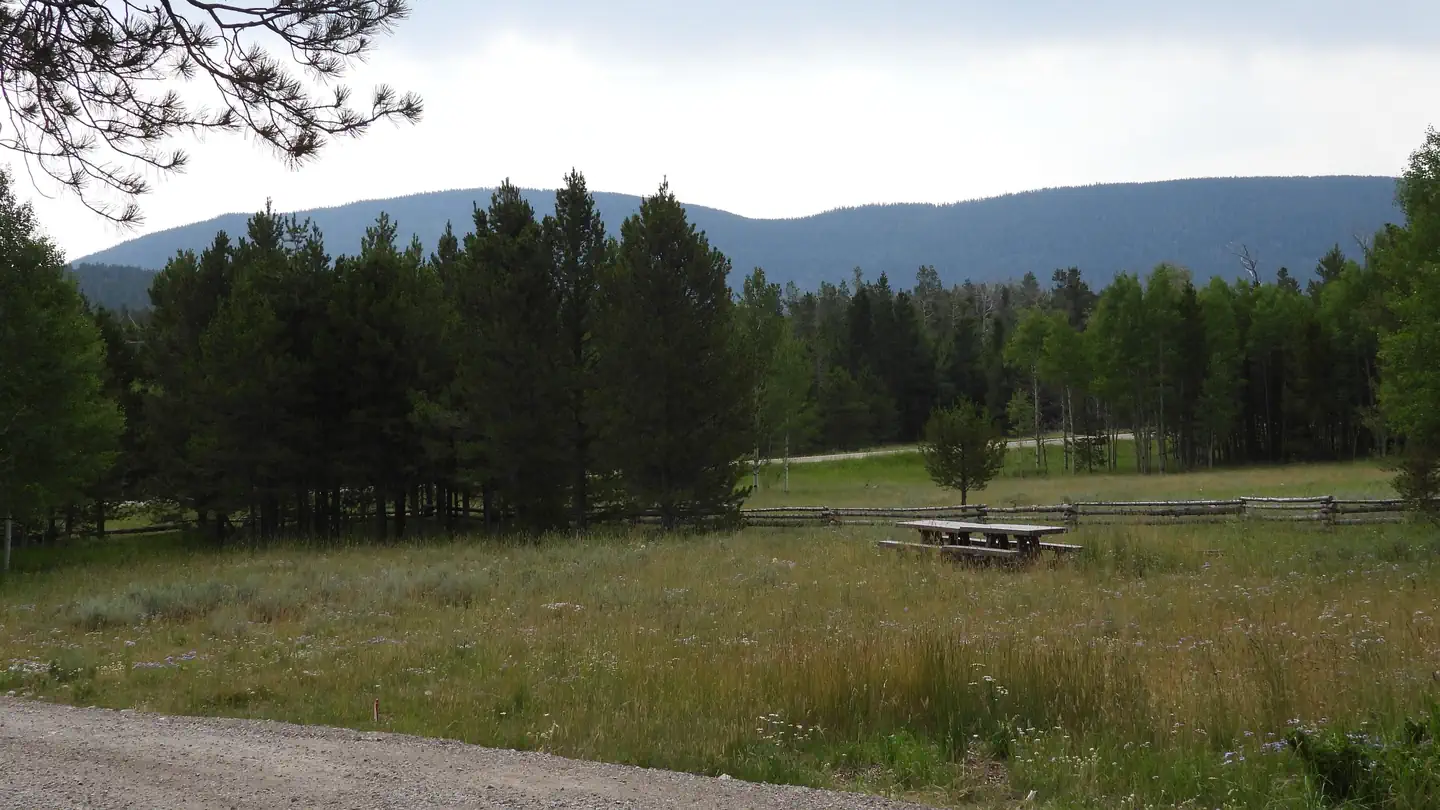 Red Springs CampgroundCampground · 1 sites
Overview Located just North of mile marker 383 on Highway 191! Coordinates: Latitude: 40.808744 Longitude: -109.468547 Red Springs C.G.
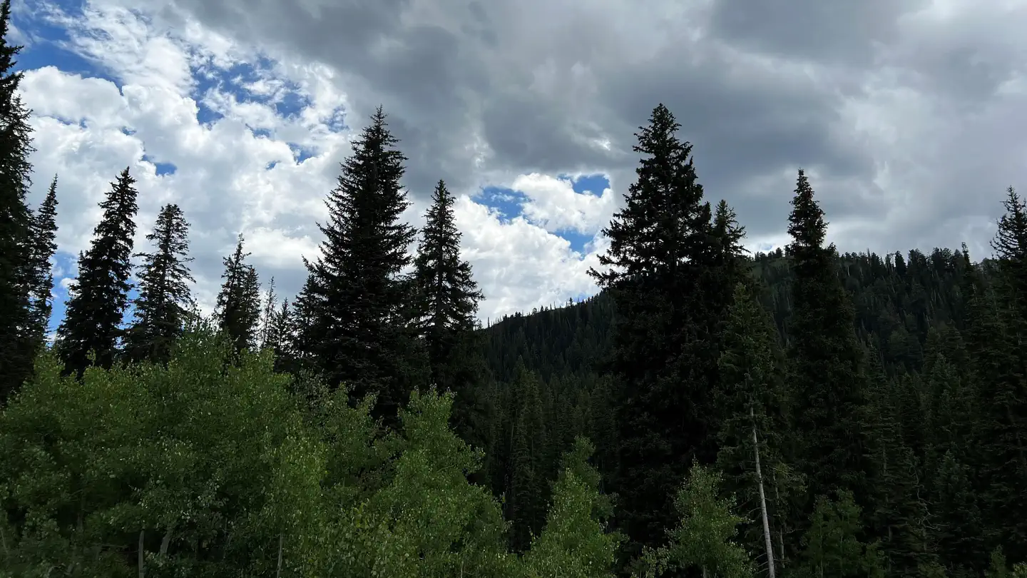 Redman CampgroundCampground · 41 sites
Overview Redman Campground is located in scenic Big Cottonwood Canyon at an elevation of 8,300 feet. Salt Lake City is conveniently close.
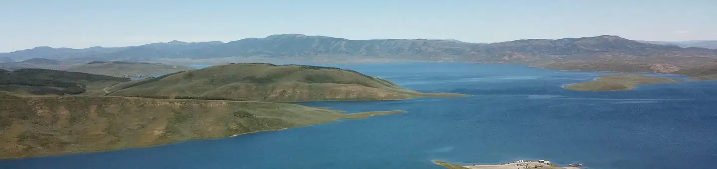 RenegadeCampground · 44 sites
Overview Renegade Campground is located on the shore of beautiful Strawberry Reservoir at an elevation of 7,700 feet.
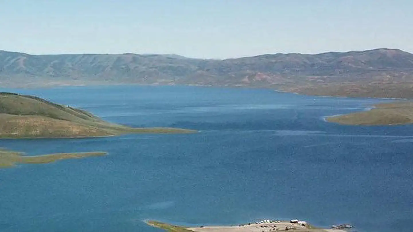 Renegade Long TermCampground · 17 sites
Overview Renegade Campground is located on the shore of beautiful Strawberry Reservoir at an elevation of 7,700 feet.
- Richfield Ranger DistrictFacility · not watchable
On the north east corner of the Forest, the Richfield Ranger District offers visitors a variety or recreational experiences.
- Rim Ramble TrailFacility · not watchable
Recommended Users: Mountain Bikers, Hikers. Singletrack trail. 0.78 miles in length. Difficulty: Moderate/More Difficult.
- Rim Reaper TrailFacility · not watchable
Recommended Users: Equestrians, Mountain Bikers, Hikers. Singletrack trail. 0.46 miles in length. Difficulty: Moderate/More Difficult.
- Rim Rock TrailFacility · not watchable
Recommended Users: Mountain Bikers, Hikers, Equestrians. Two-track and Singletrack trail. 1.2 miles in length.
- Rim Runner TrailFacility · not watchable
Recommended Users: Mountain Bikers, Hikers. Singletrack trail. .72 miles in length. Difficulty: Moderate/More Difficult (IMBA Trail Difficulty Rating System).
- Rim TrailFacility · not watchable
Recommended Users: Mountain Bikers, Hikers, Equestrians. Single-track trail. 7.3 miles in length. Difficulty: Moderate/More Difficult.
- Rochester PanelFacility · not watchable
The Rochester Panel, located within the San Rafael Swell has rock art experts divided as to if it belongs to the Fremont Culture or the earlier Barrier Canyon…
 Rock CanyonCampground · 4 sites
Overview Rock Canyon Campground is located on scenic Squaw Peak Road, far above Utah Valley at an elevation of 6,500 feet.
- Rock CorralFacility · not watchable
The Rock Corral Recreation Area is day use recreation area located 10 miles east of Milford on the west slope of the Mineral Mountains.
 Rock Creek Group (UT)Campground · 1 sites
Overview Rock Creek Group Campground is located next to Rock Creek in the Rock Creek Drainage at an elevation of 7200 feet.
- Rocky Peak TrailheadFacility · not watchable
Visitors to the Three Peaks Recreation Area enjoy hiking among many other recreation opportunities.
- Rojo Mountain Bike TrailFacility · not watchable
The Rojo mountain bike trail is an advanced technical flow trail on Bureau of Land Management public lands near Vernal, Utah.
 Rosebud ATVCampground · 4 sites
Overview Rosebud ATV Campground is located high on the Colorado Plateau at an elevation of 8300 feet. Torrey, Utah is just 17 miles northwest.
- Round Willow BottomFacility · not watchable
A fishing lake in the North Creek Lakes area. The Department of Wildlife Resourses of Utah (DWR) stocks this lake with Brook Trout.
 ST. Charles CampgroundCampground · 6 sites
Overview St. Charles Campground is situated on its namesake creek in the scenic St.
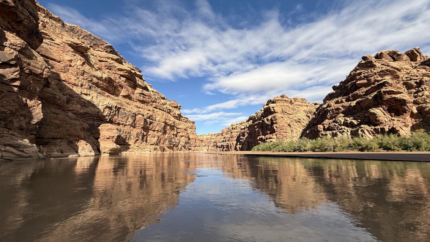
- San Rafael CG NorthFacility · not watchable
Camping facilities are provided at the San Rafael Bridge Recreation Site, adjacent to the San Rafael River.
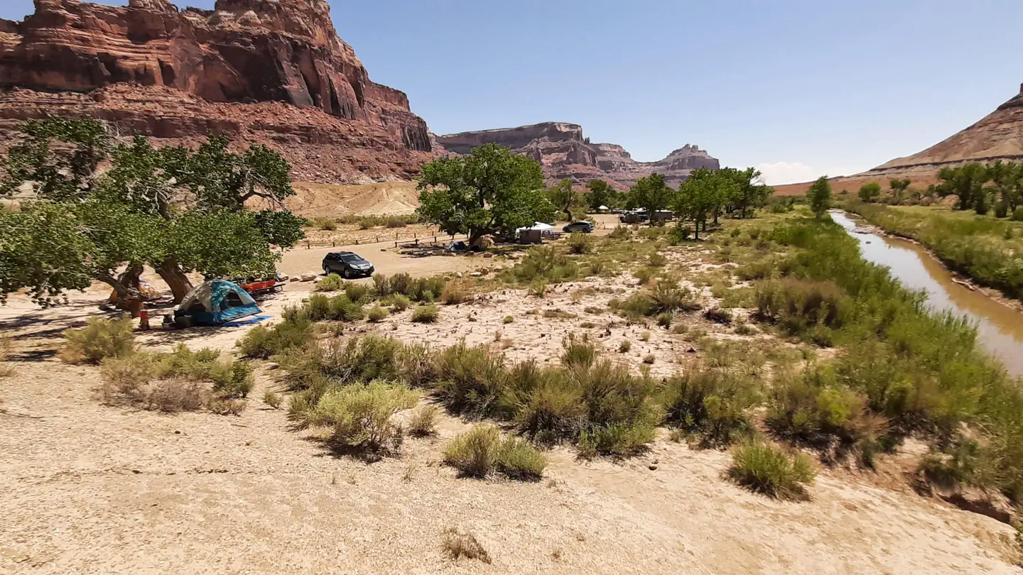 San Rafael Swinging Bridge CampgroundCampground · 23 sites
Overview These campgrounds are located just outside the South end of Buckhorn Draw where Buckhorn Wash converges with the San Rafael River.
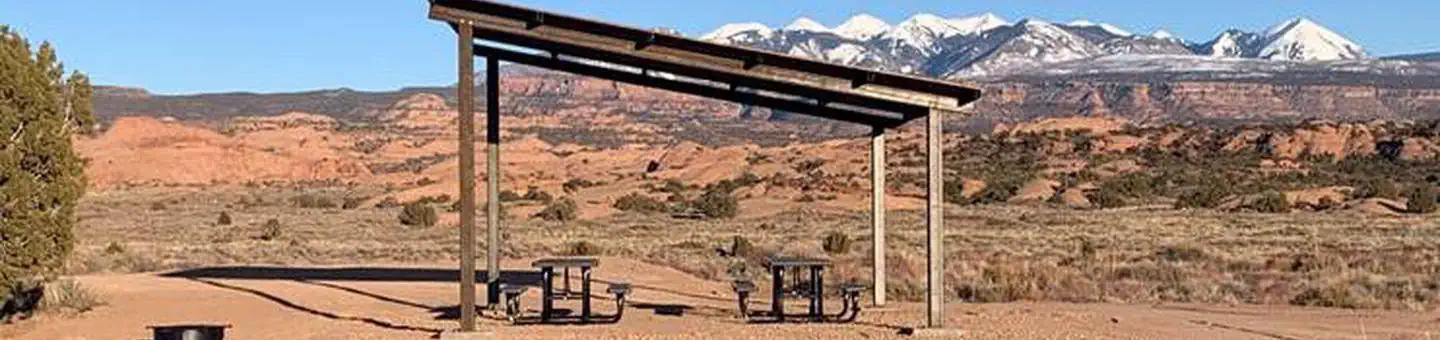 Sand Flats Recreation Area Group CampsitesCampground · 6 sites
Overview Along with easy access to biking and off-highway vehicle trails, Sand Flats' campgrounds offer spectacular vistas of sandstone domes, canyons, and…
 Sand Island Group SitesCampground · 2 sites
Overview Sand Island Campground’s two group campsites are ideal for groups wishing to be close to the town of Bluff and the San Juan River.
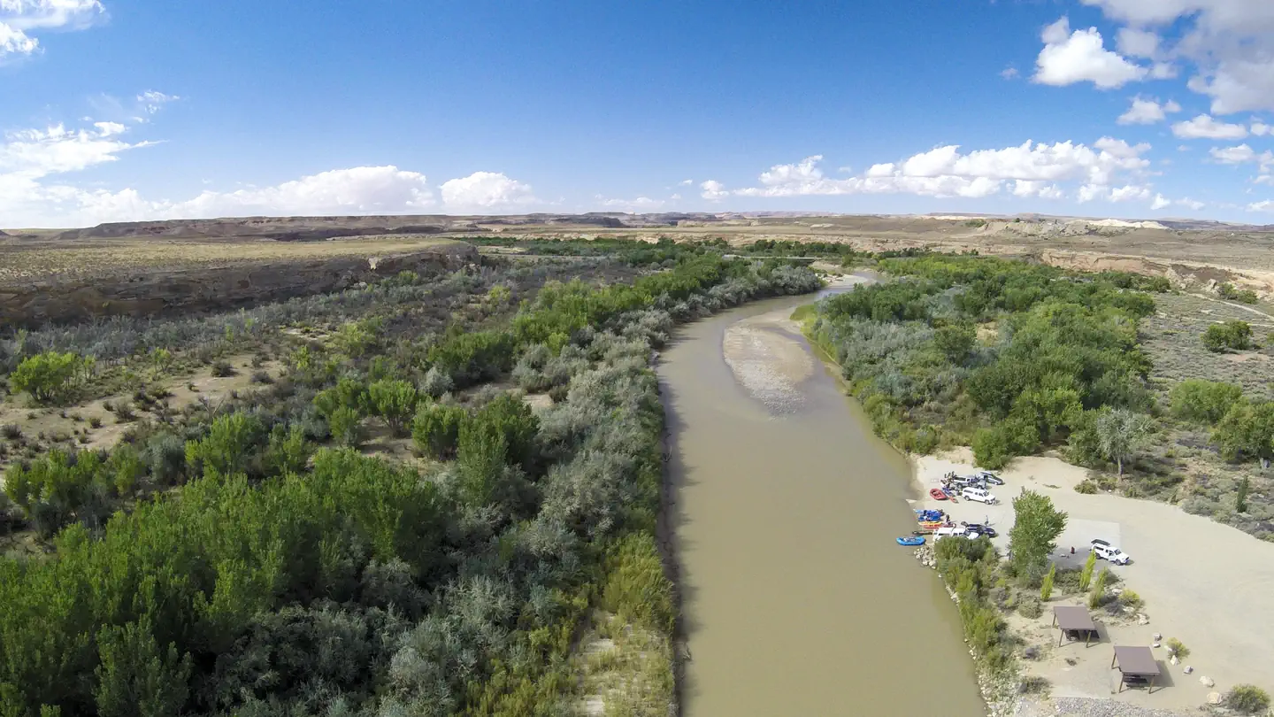 Sand Island Recreation AreaCampground · 23 sites
Overview Sand Island Recreation Area is a good camping option for visitors launching San Juan River float trips, or wishing to camp close to the town of Bluff…
- Sand Wash Ranger StationFacility · not watchable
Sand Wash Ranger Station serves as the put in for floating Desolation and Gray Canyons of the Green River.
- Sauls Meadow OHV /Equestrian Staging AreaFacility · not watchable
This trailhead offers a staging area for equestrian users to connect to the Winkle Bob trail and also for motorized users to stage for the Paiute Trail.
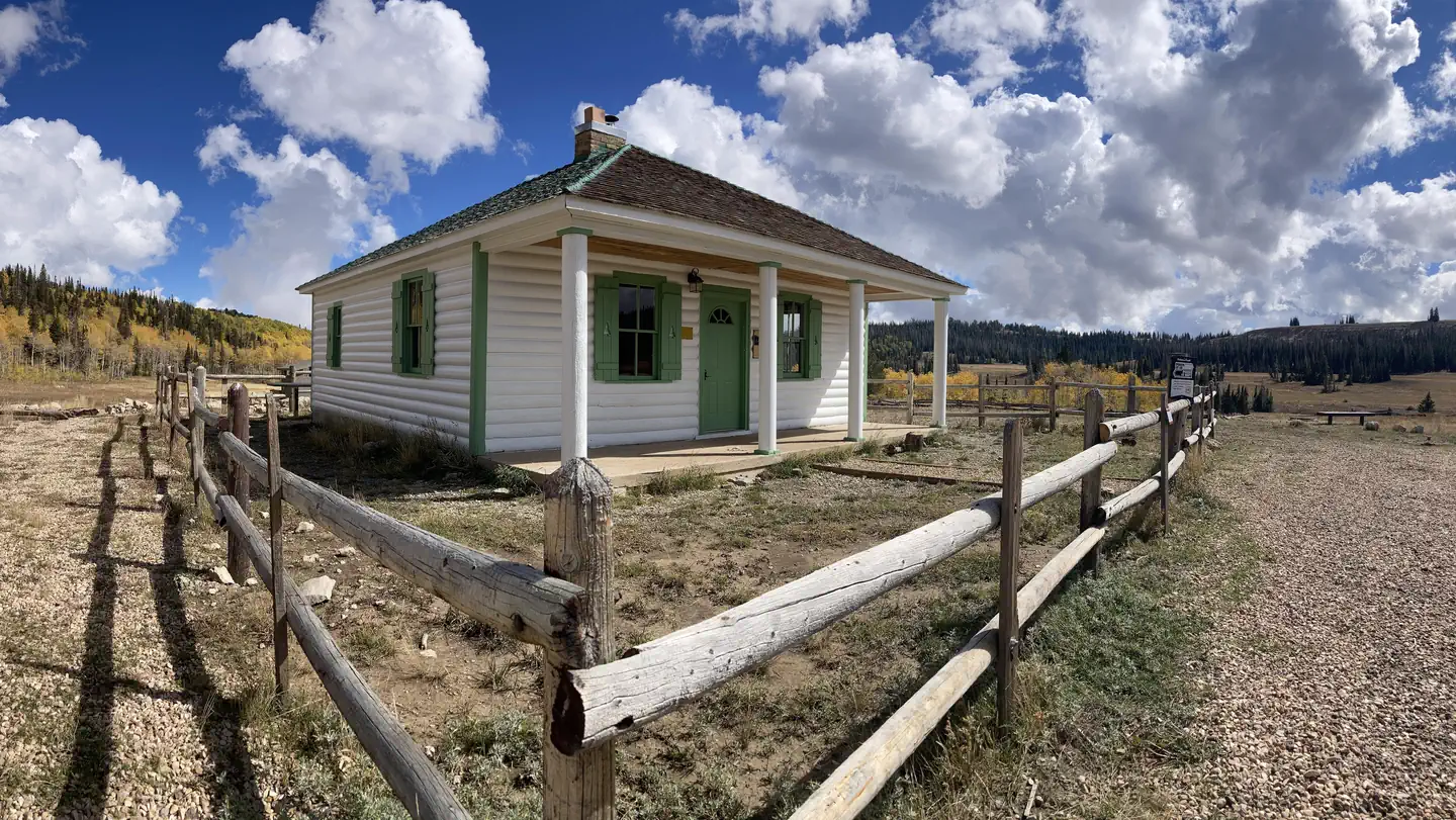 Seely Creek Guard StationCampground · 1 sites
Overview Seely Creek Guard Station is located near the top of the Wasatch Plateau, within the Manti-La Sal National Forest in central Utah.
- Sego Canyon Rock Art Interpretive SiteFacility · not watchable
Sego Canyon contains three culturally distinct styles of rock art: Fremont, Ute and Barrier-style.
- Sevenmile Rim TrailheadFacility · not watchable
Summary: Sevenmile Rim is a 20 mile loop of moderate difficulty. There are a few difficult spots, but stock vehicles with very good clearance can manage this…
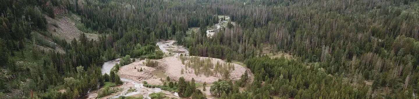 Shady Dell CampgroundCampground · 18 sites
Overview Shady Dell Campground is nestled in the curves of the Provo River. The campground is located on the beautiful Mirror Lake Scenic Byway in the Uinta…
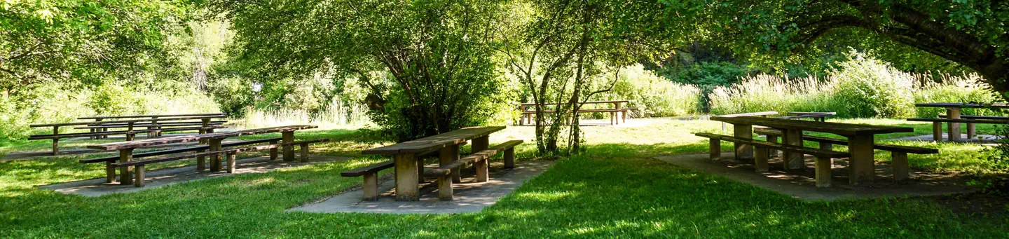 Shenoah Picnic AreaCampground · 1 sites
Overview Shenoah Picnic Area is located in Blacksmith’s Fork Canyon on the banks of the Blacksmith Fork River about 9 miles from Hyrum, Utah at an elevation of…
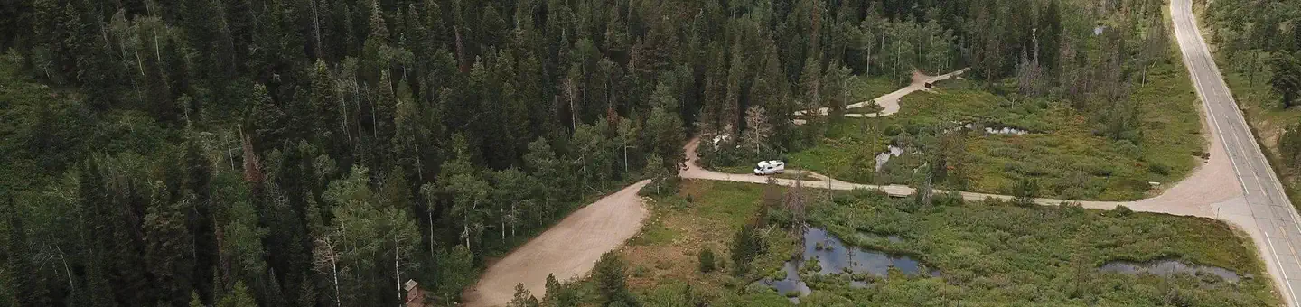 Shingle Creek ATV CampgroundCampground · 21 sites
Overview Shingle Creek is located on the beautiful Mirror Lake Scenic Byway in the Uinta Mountains of northeastern Utah.
- Sidewinder TrailFacility · not watchable
Recommended Users: Mountain Bikers, Hikers. Singletrack trail. 1.7 miles in length. Difficulty: Moderate/More Difficult (IMBA Trail Difficulty Rating System).
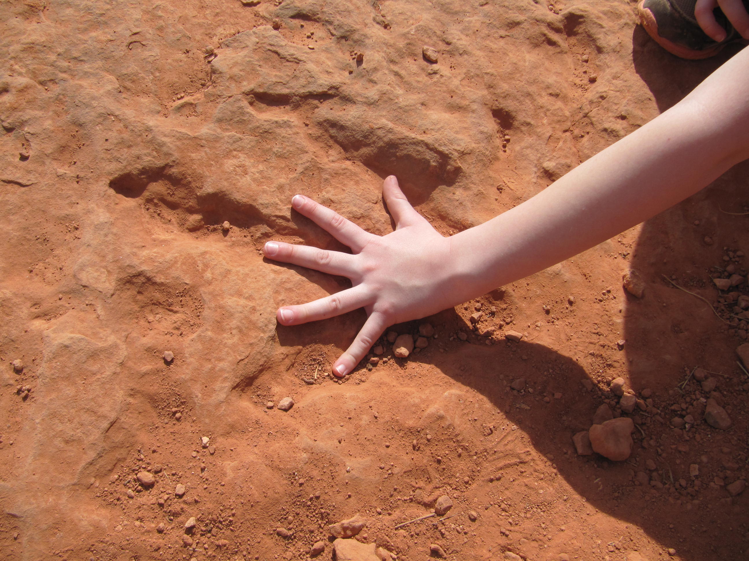 Silver Reef Trail and Red Cliffs Dinosaur TracksiteFacility · not watchable
The Red Cliffs Dinosaur Tracksite is located along the Silver Reef Trail in Red Cliffs Campground.
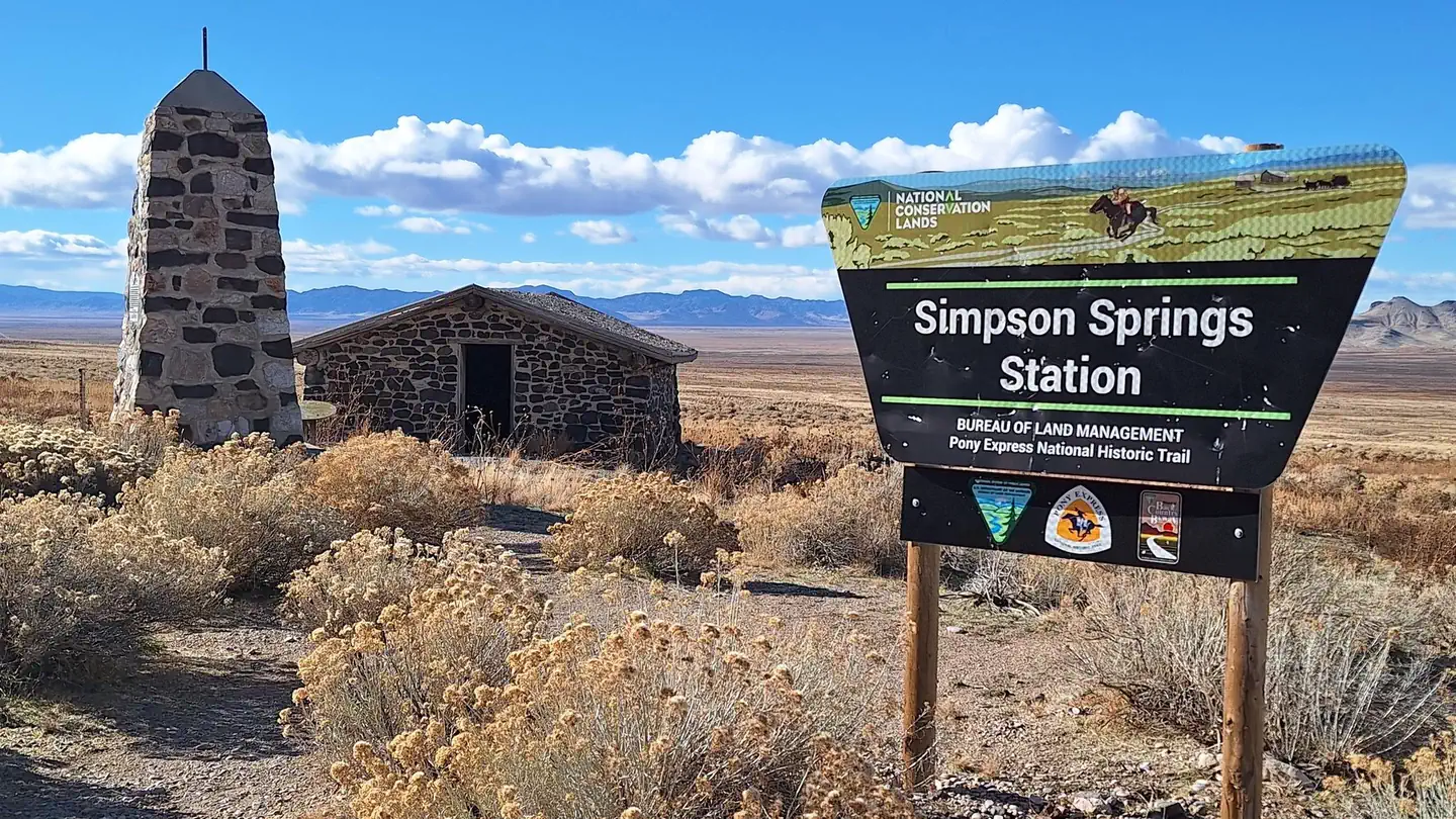 Simpson Springs CampgroundCampground · 23 sites
Overview The campground is situated on the eastern edge of Utah's West Desert near the historic Simpson Springs station on the Pony Express National Historic…
 SingletreeCampground · 33 sites
Overview Singletree Campground is located on the east side of Boulder Mountain in central Utah. Visitors enjoy hiking and sightseeing in this beautiful area.
- Sink HoleFacility · not watchable
It is said that Joseph Nielson discovered this amazing sink hole in 1927. He was heading back to his camp at night when he strayed into the area.
 Skull CreekCampground · 16 sites
Overview Skull Creek Campground is located about 35 miles north of Vernal, Utah near Flaming Gorge Reservoir.
 Smith and MorehouseCampground · 33 sites
Overview Smith and Morehouse Campground is located a very short distance from Smith and Morehouse Reservoir on the western edge of the Uinta Mountains in…
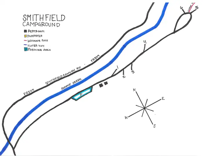 Smithfield CampgroundCampground · 6 sites
Overview This campground is located in Smithfield Canyon, 12.4 miles northeast of Logan, Utah, at an elevation of 5,500 feet. Recreation This campground…
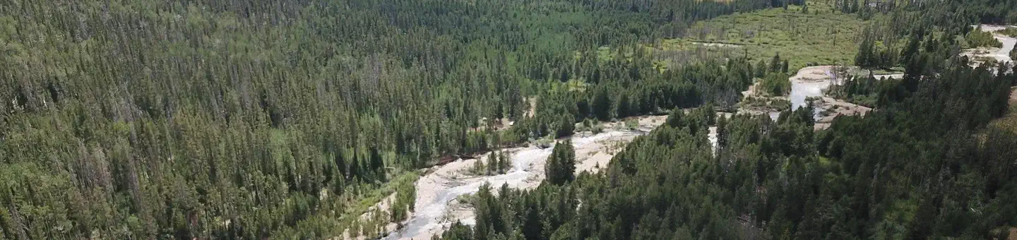 SoapstoneCampground · 33 sites
Overview Soapstone Campground is located on the beautiful Mirror Lake Scenic Byway in the Uinta Mountains of northeastern Utah at an elevation of 8,200 feet.
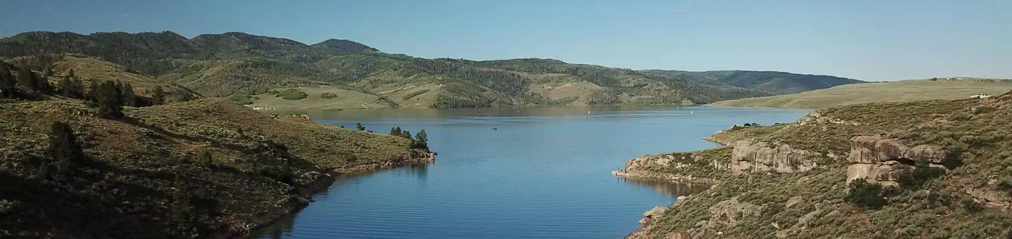 Soldier CreekCampground · 142 sites
Overview Soldier Creek Campground is located on the shore of beautiful Strawberry Reservoir at an elevation of 7,200 feet.
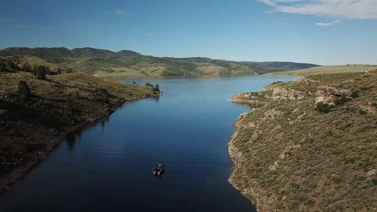 Soldier Creek Long TermCampground · 19 sites
Overview Soldier Creek Campground is located on the shore of beautiful Strawberry Reservoir at an elevation of 7,200 feet.
 Soldier Creek Vacation CabinCampground · 1 sites
Overview This large vacation cabin is next to the beautiful Strawberry Reservoir at an elevation of 7,200 feet.
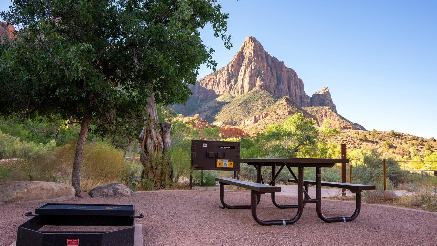 South Campground (Ut)Campground · 124 sites
Overview Reservations for South Campground are available up to 14 days before your arrival and may extend up to two days beyond this 14-day booking window. …
 South Fork (Ut)Campground · 42 sites
Overview South Fork Campground is located on the banks of the South Fork Ogden River at an elevation of 5,200 feet, just 7 miles from Huntsville, Utah.
- South Rim TrailFacility · not watchable
Recommended Users: Mountain Bikers, Hikers. Singletrack trail. 5.9 miles in length. Difficulty: Extreme. The South Rim Trail is demanding.
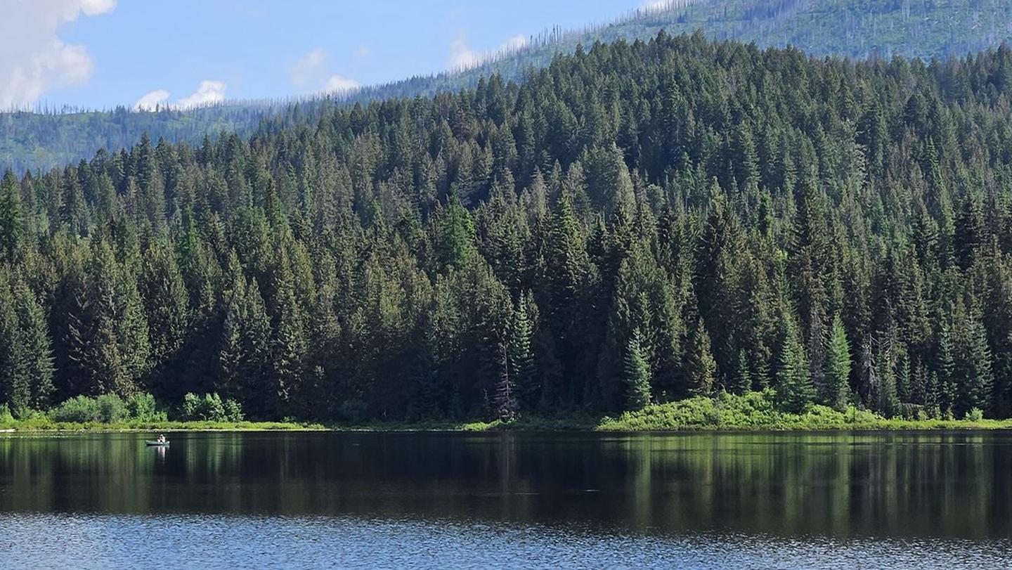 South Skookum LakeCampground · 24 sites
Overview South Skookum Lake Campground is a beautiful campground situated next to South Skookum Lake.
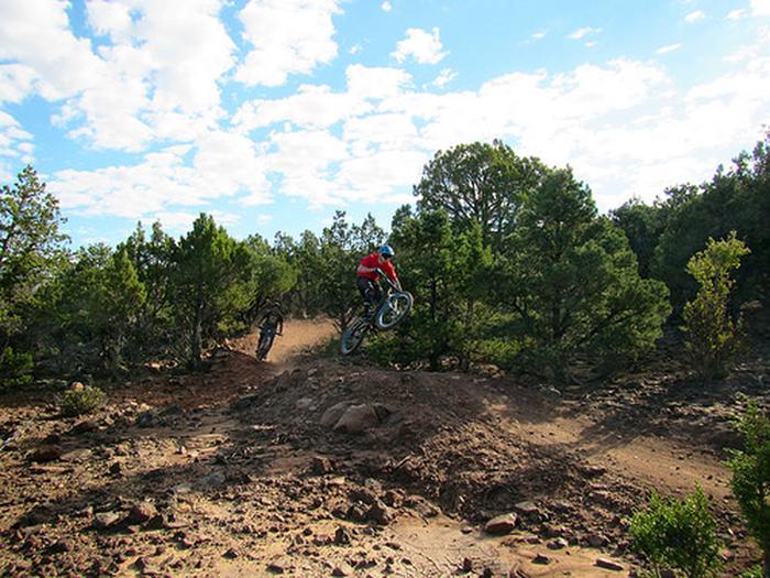 Southview TrailheadFacility · not watchable
Iron Hills Trail System: 30 miles Recommended uses: mountain biking, hiking, and trail running Difficulty: beginner, intermediate and advanced Southview is a…
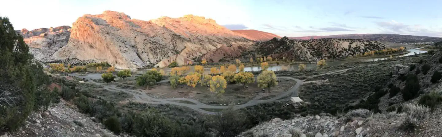 Split Mountain Group CampgroundCampground · 4 sites
Overview The Split Mountain Group Campground is located along the banks of the Green River at an elevation of 4,800 feet (.
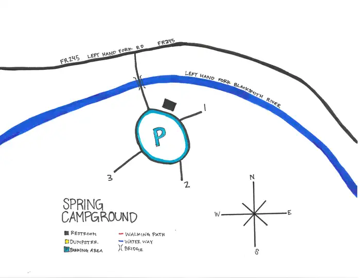 Spring Campground (UT)Campground · 3 sites
Overview Spring Campground is located on the Left Hand Fork of the Blacksmith Fork River.
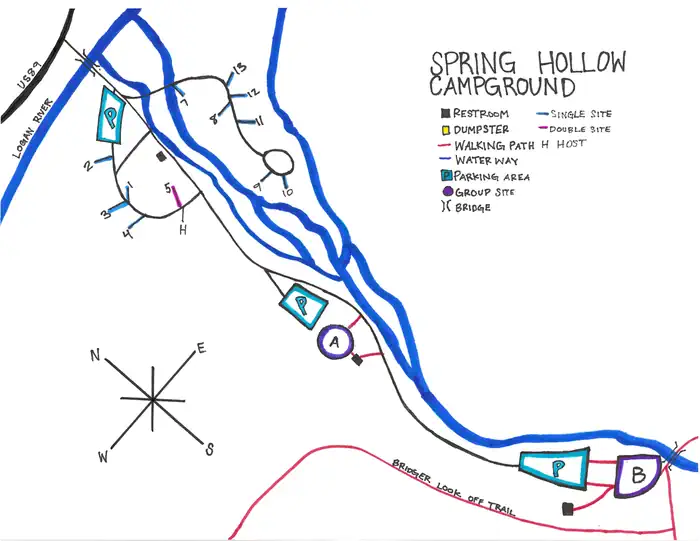 Spring Hollow CampgroundCampground · 14 sites
Overview Spring Hollow Campground is situated next to the Logan River just 4 miles east of Logan, Utah, in scenic Logan Canyon.
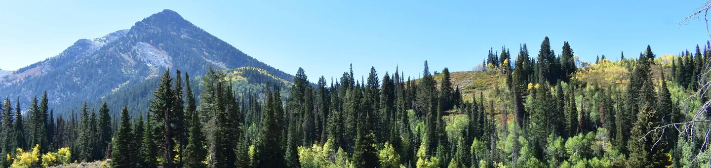 Spruces - Big CottonwoodCampground · 102 sites
Overview Spruces Campground is located in scenic Big Cottonwood Canyon at an elevation of 7,500 feet. Salt Lake City is conveniently close.
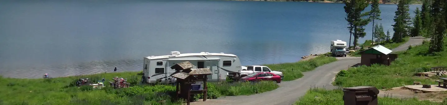 Spruces Campground (Dixie NF)Campground · 23 sites
Overview Spruces Campground on the shores of Navajo Lake, provides a spectacular setting for boating, canoeing, camping, fishing, wildlife viewing, and…
- Squirrel Mountain TrailFacility · not watchable
Recommended Users: Hikers. Route. 6 total miles in length. Difficulty: Moderate. This hike goes to the the top of Canaan Mountain.
- Stairmaster TrailheadFacility · not watchable
Length of Hike: .9 miles plus 100 yards to overlook; allow 2 hours round trip Type of Hike: Hiking-only trail marked by rock cairns Area Attractions: Great…
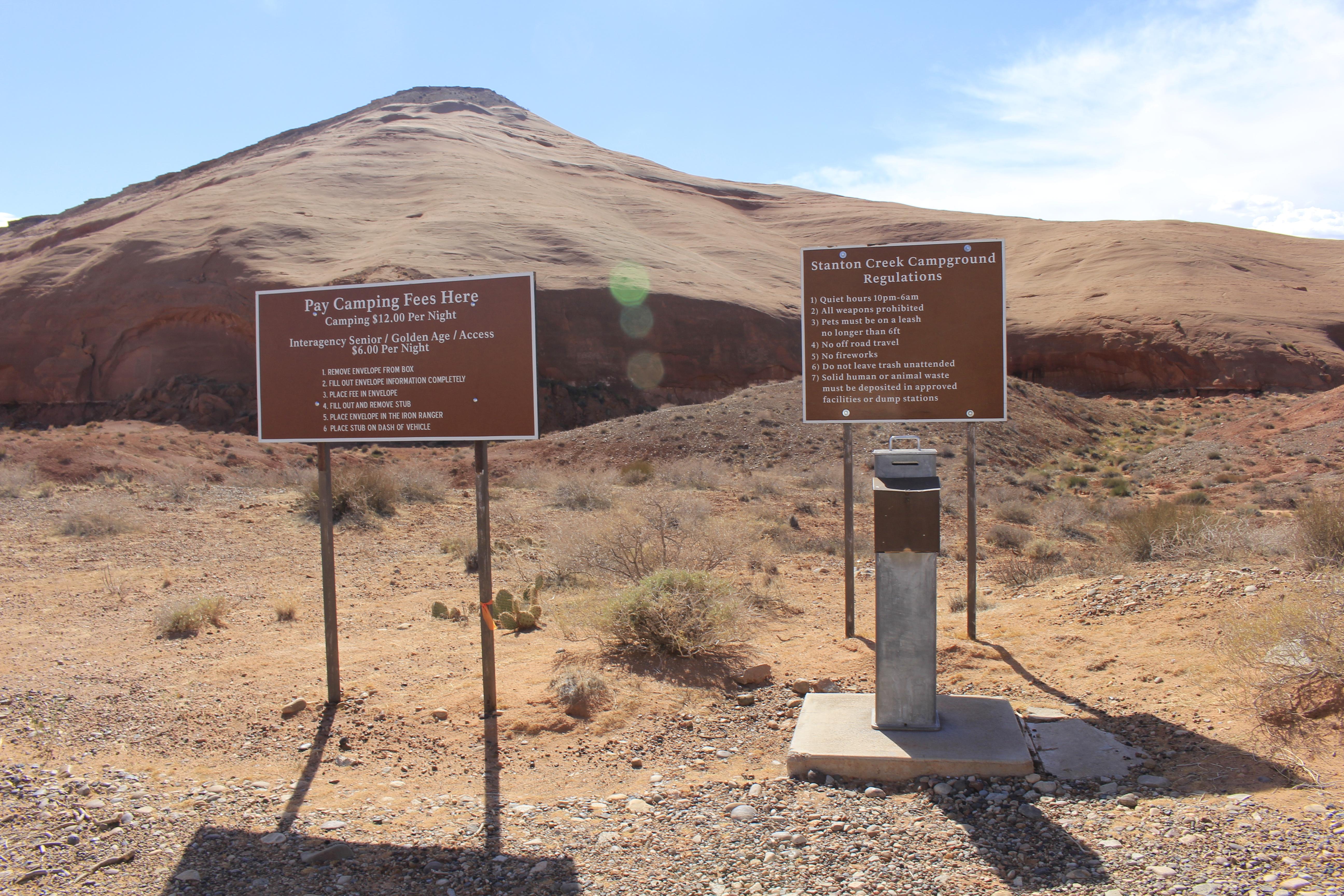 Stanton Creek Primitive Camping AreaFacility · not watchable
Designated primitive camping areas that are accessible by vehicle and sometimes by vessel as well. First-come first served, no reservations.
- Starr Spring CampgroundCampground · not watchable
Starr Springs Campground sits on the southeast end of Mount Hillers. It is a favorite among geology enthusiasts, rock hounds, and late season hunters.
 StatelineCampground · 33 sites
Overview Stateline Campground is located next to Stateline Reservoir on the northern slope of the Uinta Mountains at an elevation of 9,200 feet, about 21 miles…
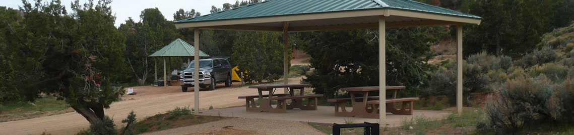 Stateline CampgroundCampground · not watchable
Stateline Campground is located on the border of Utah and Arizona on the House Rock Valley Road.
 Stateline Campground Long TermCampground · 3 sites
Overview Stateline Campground is located next to Stateline Reservoir on the northern slope of the Uinta Mountains at an elevation of 9,200 feet, about 21 miles…
- Stateline Cove CampgroundCampground · not watchable
Dispersed beach camping on the sandy shore of Flaming Gorge. Located six (6) miles East of Manila, Utah on the Utah/Wyoming border.
- Stonefly II River CampFacility · not watchable
Stonefly II is on the north side of river 8.2 miles below dam and 1.0 miles below Little Hole.
 Storm Mountain Day Use AreaCampground · 20 sites
Overview Storm Mountain Day Use Area is just 3 miles up Big Cottonwood Canyon, conveniently close to Salt Lake City.
 Strawberry BayCampground · 232 sites
Overview Strawberry Bay Campground is located on the shore of beautiful Strawberry Reservoir at an elevation of 7,200 feet.
 Strawberry Bay Long TermCampground · 43 sites
Overview Strawberry Bay Campground is located on the shore of beautiful Strawberry Reservoir at an elevation of 7,200 feet.
- Stucki Springs TrailFacility · not watchable
Recommended Users: Mountain Bikers, Hikers. Most riders park in downtown Santa Clara City and ride in on Stucki Springs Road for an extended ride of 9.7 miles…
- Suicidal Tendencies TrailFacility · not watchable
Recommended Users: Mountain Bikers, Hikers. Singletrack trail. 4.1 miles in length. Difficulty: Extreme/Most Difficult.
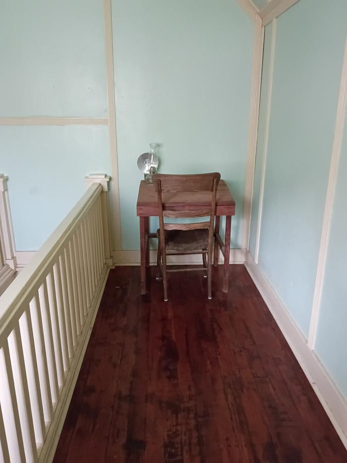 Summit Springs Guard StationCampground · 1 sites
Overview Summit Springs Guard Station is located a couple of miles off the Sheep Creek Geological Loop southwest of Flaming Gorge in the high Uinta Mountain…
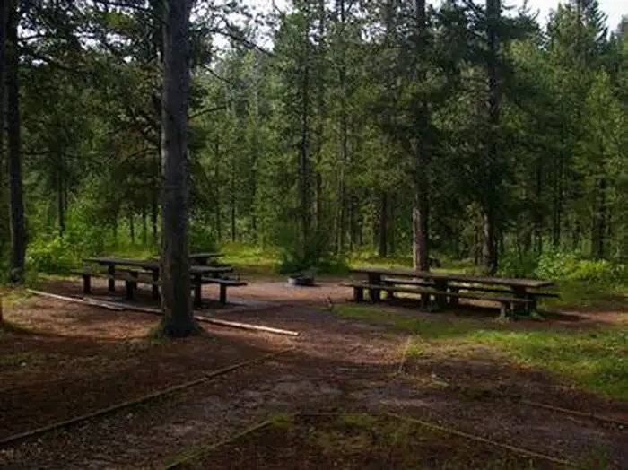 Summit View CampgroundCampground · 21 sites
Overview Summit View Campground is located eight miles east of U.S. Highway 30, near Georgetown, Idaho.
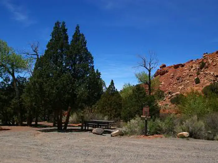 Sunglow CampgroundCampground · 8 sites
Overview Sunglow Campground is located in a scenic red rock box canyon just 2 miles from Bicknell, Utah.
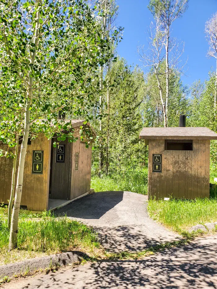 Sunrise CampgroundCampground · 26 sites
Overview Sunrise Campground is close to Bear Lake Summit, just 6 miles west of Garden City and Bear Lake, Utah, at an elevation of 7,800 feet.
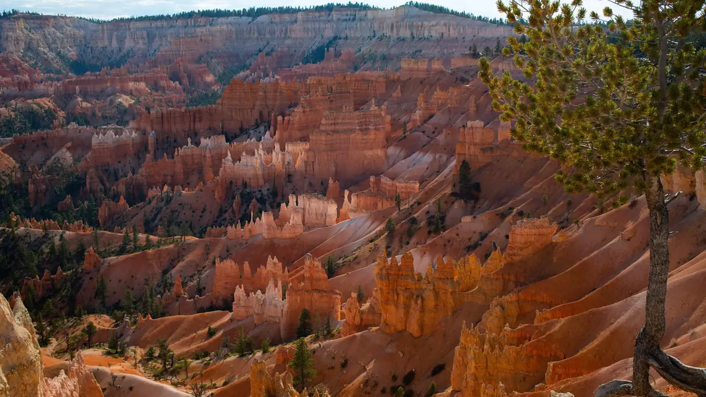 Sunset Campground (UT)Campground · 101 sites
Overview Sunset Campground is located in beautiful and unique Bryce Canyon National Park.
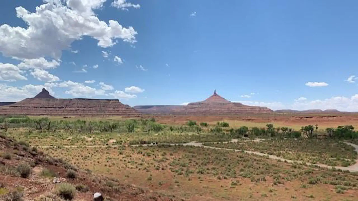 Superbowl CampgroundCampground · 37 sites
Overview Superbowl Campground is a good option for visitors wishing to recreate in the Indian Creek area of Bears Ears National Monument or be close to the…
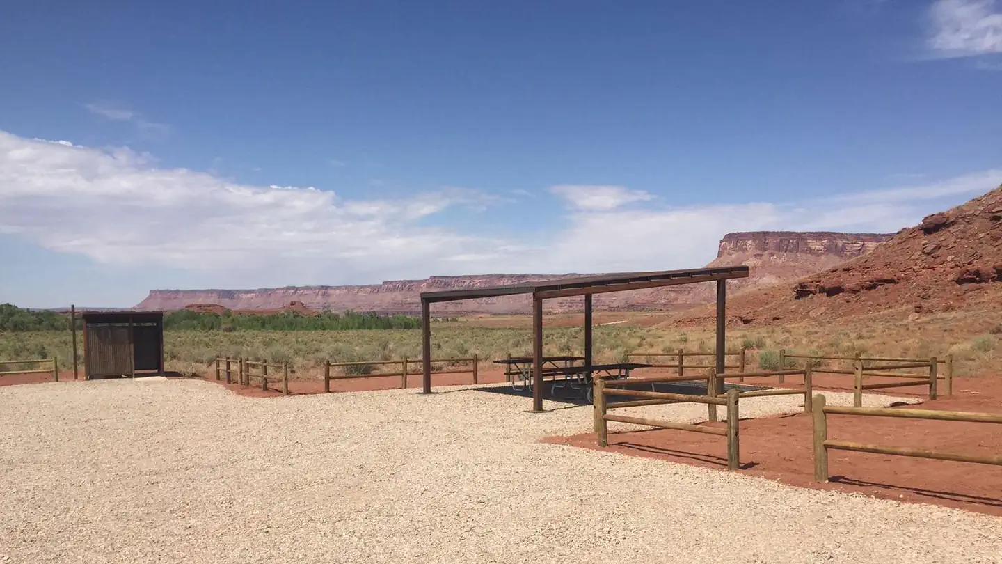 Superbowl Group SiteCampground · 1 sites
Overview The Superbowl Group Site at Superbowl Campground is ideal for larger groups (10 to 30 people) wishing to recreate in the Indian Creek area of Bears…
 Swasey's Beach CampgroundCampground · 12 sites
Overview The Swaseys Beach campground and day use area allow for camping and picnicking opportunities on the Green River across from Swaseys Boat Ramp.
- Swaseys Cabin THFacility · not watchable
Just of I-70 the head of Sinbad and Swasey’s cabin area invites camping, hiking, OHV trails and opportunities to explore.
- Swinging BridgeFacility · not watchable
Camping facilities are provided at this Recreation Area in three distinct locations.
- Swinging Bridge TrailheadFacility · not watchable
Swing Bridge trailhead serves as the take out for those wishing to hike or float through the Little Grand Canyon.
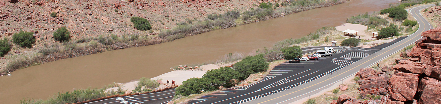 Take Out Boat RampFacility · not watchable
Take Out Boat Ramp is the primary exit point or take out ramp used by boaters who are floating the "Colorado River Daily".
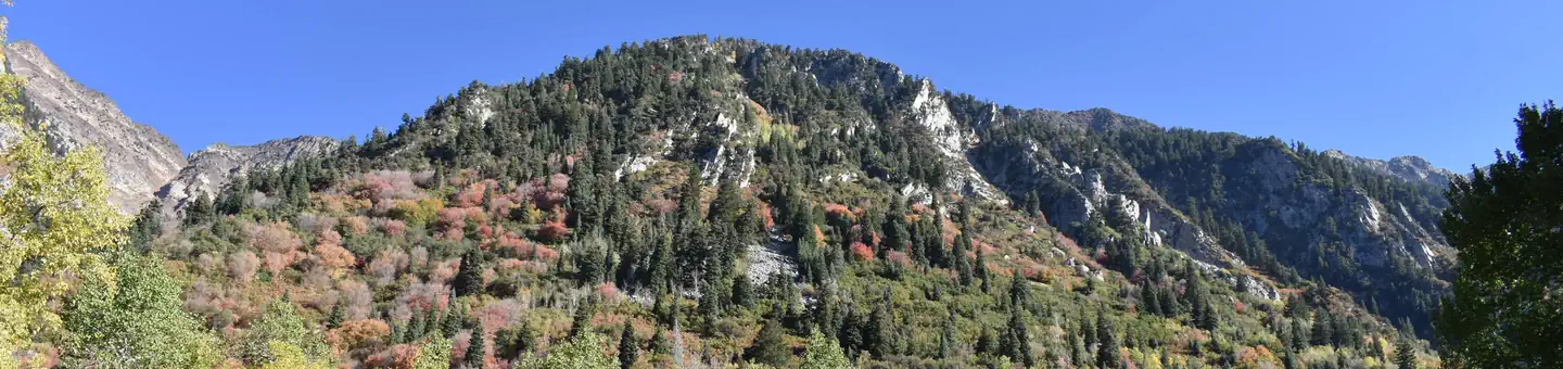 Tanners FlatCampground · 22 sites
Overview Tanners Flat Campground is located in scenic Little Cottonwood Canyon at an elevation of 7,200 feet, just 6 miles from Sandy, Utah.
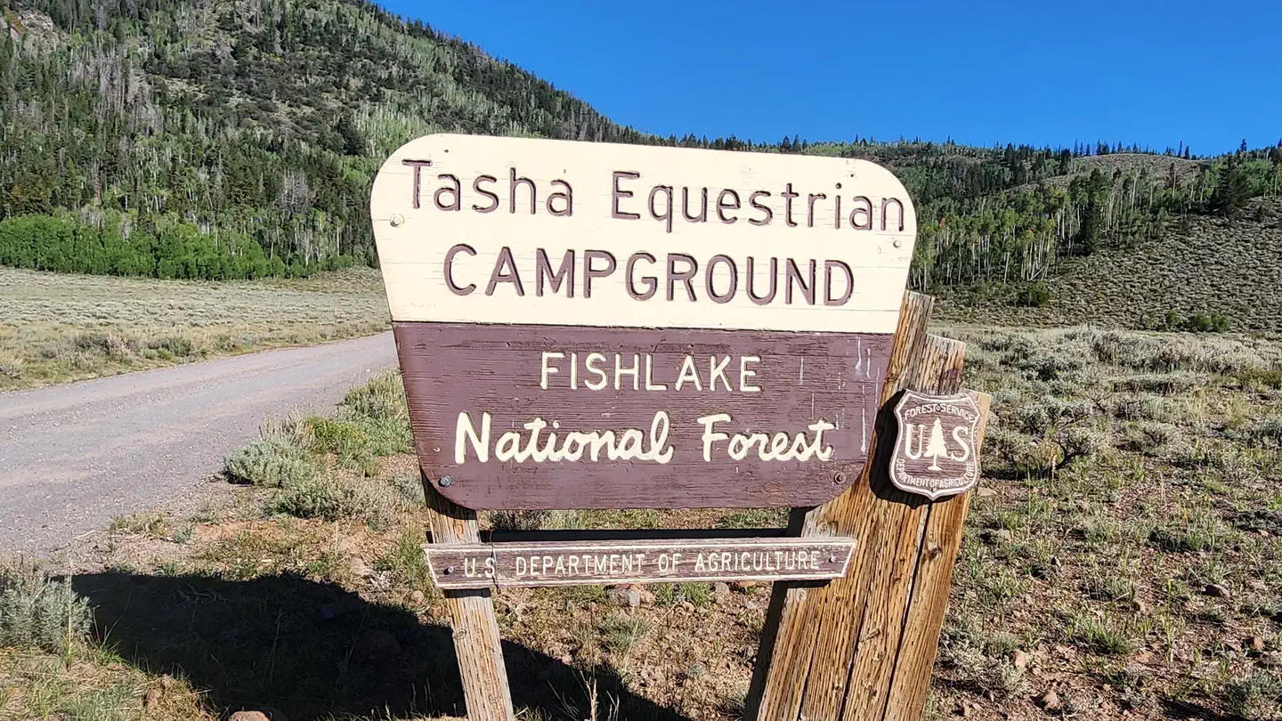 Tasha EquestrianCampground · 10 sites
Overview Tasha Equestrian Campground is located in central Utah, just 4 miles north of beautiful Fish Lake at an elevation of 9,000 feet.
- Tava'atsi TrailFacility · not watchable
Recommended Users: Equestrians, Hikers, Mountain Bikers. Two-track trail. 0.5 miles in length. Difficulty: Easy/Easiest (IMBA Trail Difficulty Rating System).
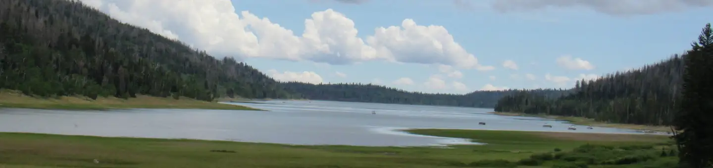 Te-AhCampground · 41 sites
Overview Te-Ah Campground is located 28 miles east of Cedar City, Utah, in scenic Navajo Lake Basin.
- Tempi'po'op TrailFacility · not watchable
Recommended Users: Equestrians, Hikers, Mountain Bikers. Two-track and singletrack trail. 3.5 miles in length.
- Temple Mountain Campground EastCampground · not watchable
"Temple Mountain east Campground also known as the “People Pasture” is located just west of the turnoff to Goblin Valley State Park.
- Temple Moutain Campground WestCampground · not watchable
"The Temple Mountain west Campground is located at the intersection of Temple Mountain and Behind the Reef road.
- The Barracks KioskFacility · not watchable
The Barracks Kiosk is found near the East Fork of the Virgin River. The kiosk itself serves as a staging area for BLM route 20 and other BLM routes in the…
- The Blues Overlook WaysideFacility · not watchable
The Blues Overlook sits across from the delicate pink limestone ledges of Powell Point, which rises to an elevation of 10,188 feet, and above.
- The Hole TrailheadFacility · not watchable
The Hole Trailhead (TH) marks the entrance to the Hole Trail, which is ~6.6 miles in length and provides a connection between Muddy Creek Road ,just north of…
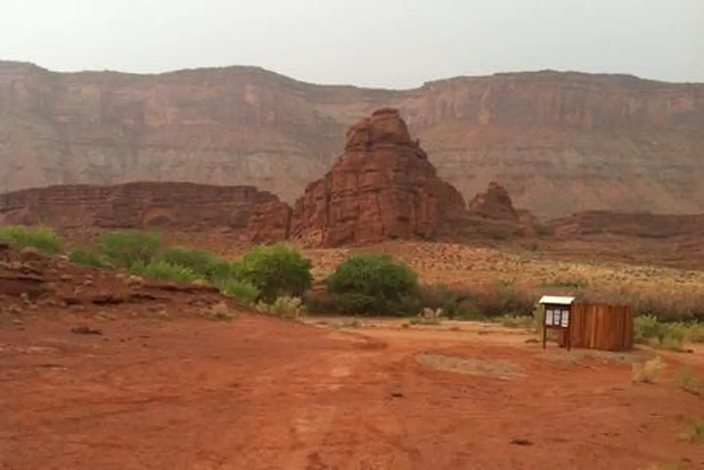 The Ledge CampgroundCampground · not watchable
Ledges A Campground will be closed October 5 - 31, 2020 for site maintenance. Five separate campgrounds with 105 sites are located in a scenic, red rock valley…
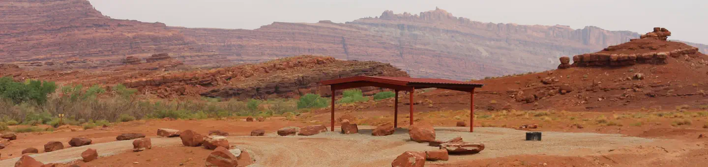 The Ledge Group SitesCampground · 3 sites
Overview The Ledge Group Campsites are ideal for visitors looking to explore vehicle backcountry routes in the area.
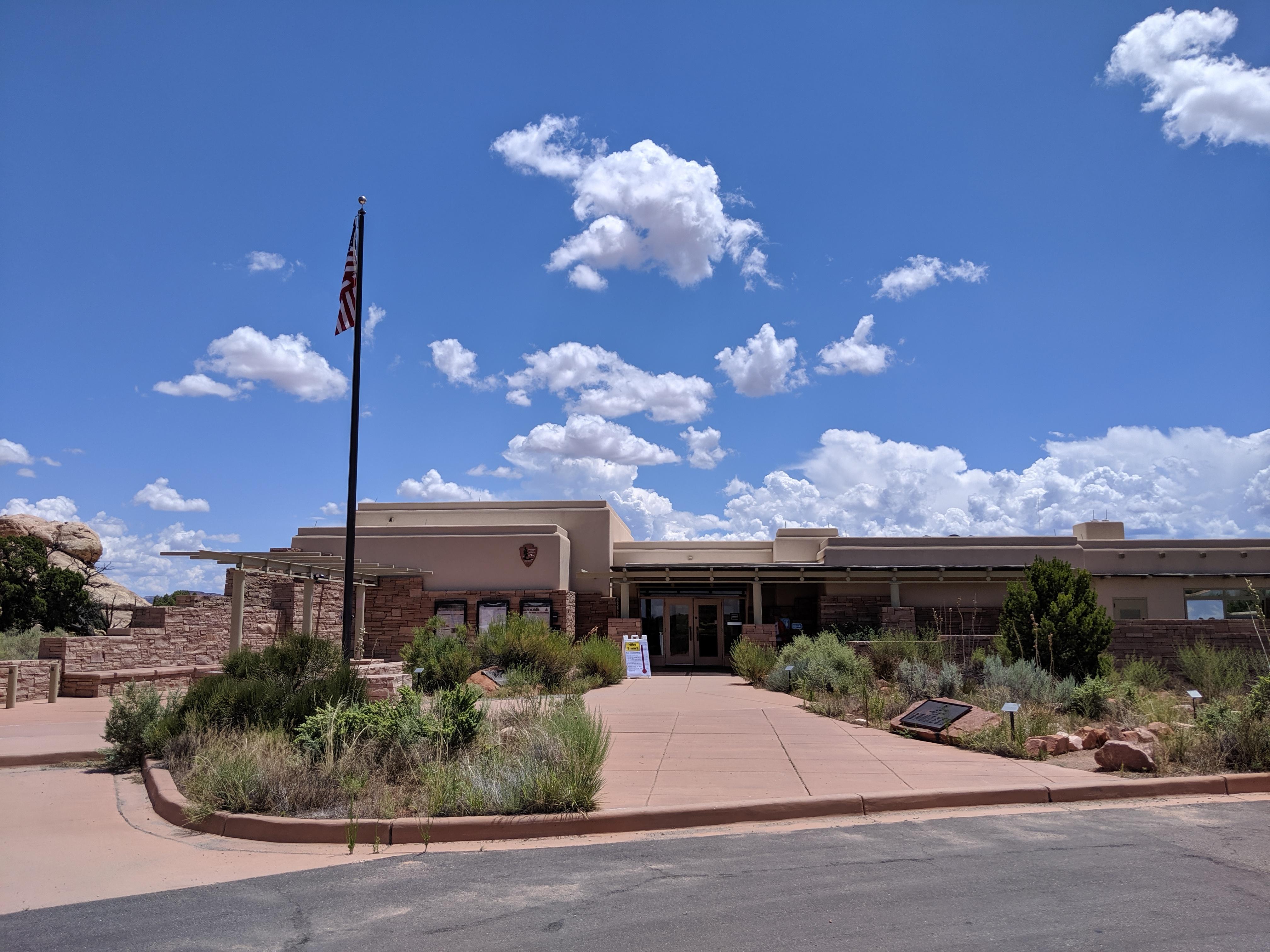 The Needles Visitor CenterFacility · not watchable
The Needles Visitor Center normally offers exhibits, book & map sales, backcountry permits, information, picnic area, and park rangers on duty.
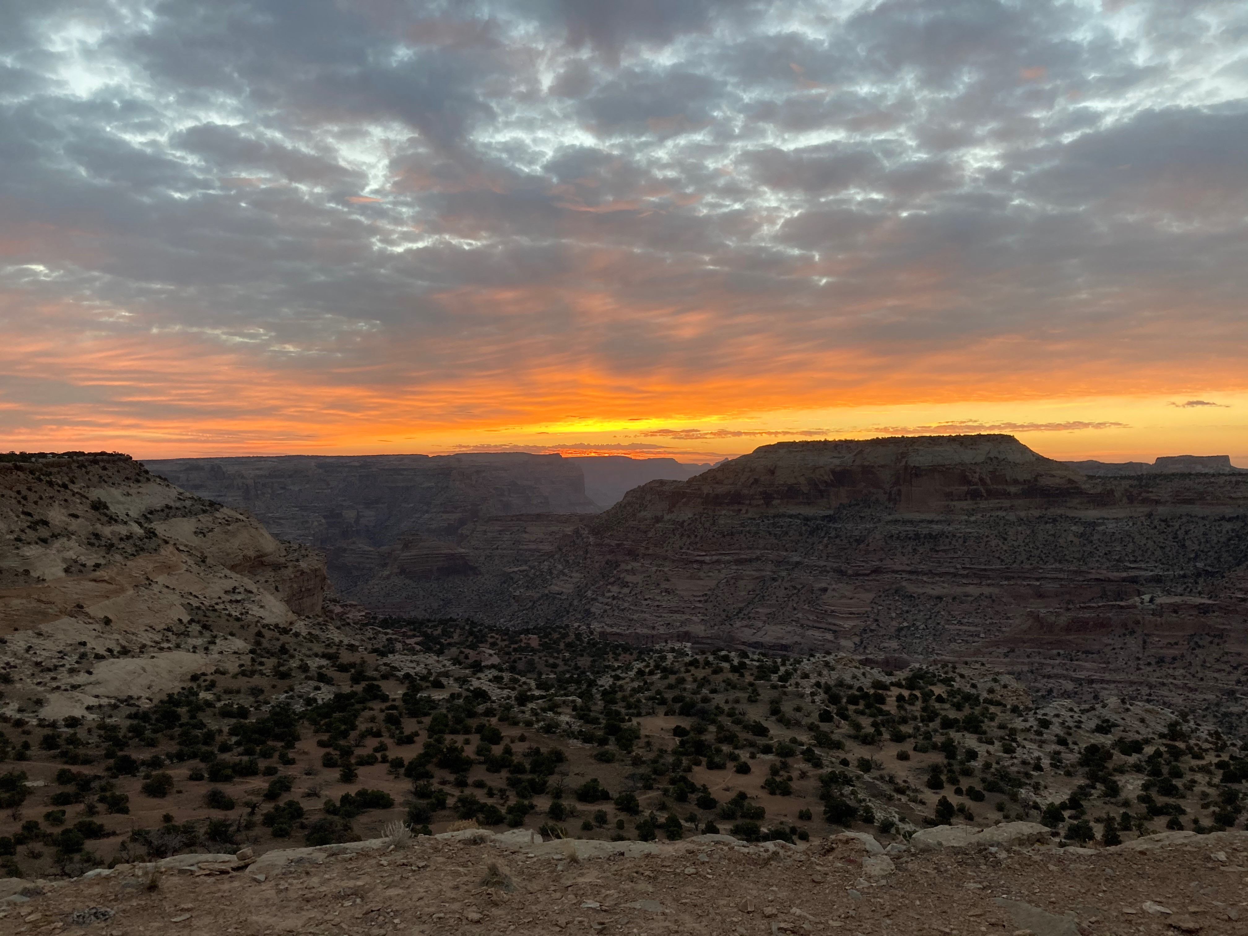 The WedgeFacility · not watchable
There is much to see and do at the Wedge. The Wedge Overlook provides unmatched scenery looking over the Little Grand Canyon of the San Rafael River.
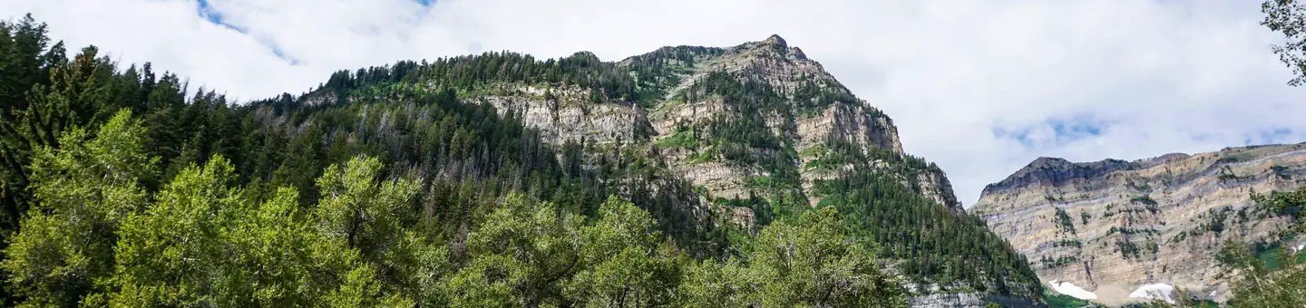 Theater in the PinesCampground · 1 sites
Overview Theater in the Pines is a large group campsite located along the beautiful Alpine Loop Scenic Byway in the Wasatch Mountains.
- Three Peaks OHV TrailheadFacility · not watchable
Three Peaks provides a large OHV/ATV staging area with plenty of parking, water, pavilion, picnic table and a vault toilet.
- Three Peaks RC TrackFacility · not watchable
The Three Peaks RC Track has an ADA track stand and three remote control car tracks; one maze track, one oval track and a kid's course.
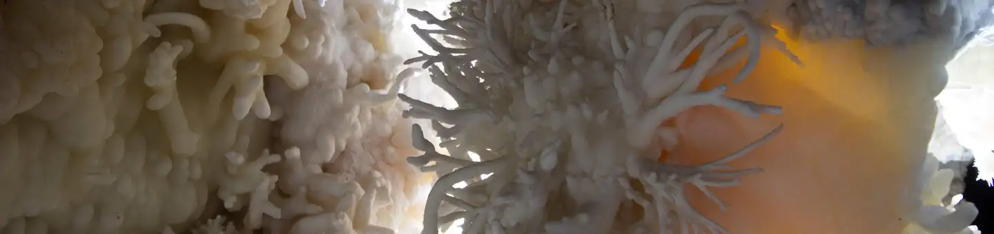 Timpanogos Cave National Monument ToursTickets
Overview: NOTICE: You must stop at the visitor center before starting your hike to the cave.
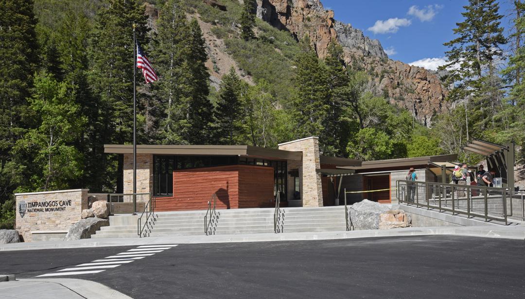 Timpanogos Cave Visitor CenterFacility · not watchable
The Timpanogos Cave Visitor Center is located in American Fork Canyon on UT-92. It sits at the base of the cave trail that leads to Timpanogos Cave.
 TimpoonekeCampground · 30 sites
Overview Timpooneke Campground is located along the beautiful Alpine Loop Scenic Byway high in the Wasatch Mountains.
 Timpooneke Trailhead Timed TicketsTimed entry
Timpooneke Trailhead is located along the Alpine Scenic Loop. The area provides outstanding recreation opportunities and majestic views.
 Tinney FlatCampground · 15 sites
Overview Tinney Flat Campground is located in scenic Santaquin Canyon, just 9 miles from town at an elevation of 7,000 feet.
- Tipple TrailFacility · not watchable
Recommended Users: Mountain Bikers, Hikers, Equestrians. Two-track trail. 1 mile in length. Difficulty: Moderate/More Difficult.
- Tomsich Butte THFacility · not watchable
Riddled with old mine shafts from the uranium boom times, the Butte is right across the Muddy River from Hondu Arch.
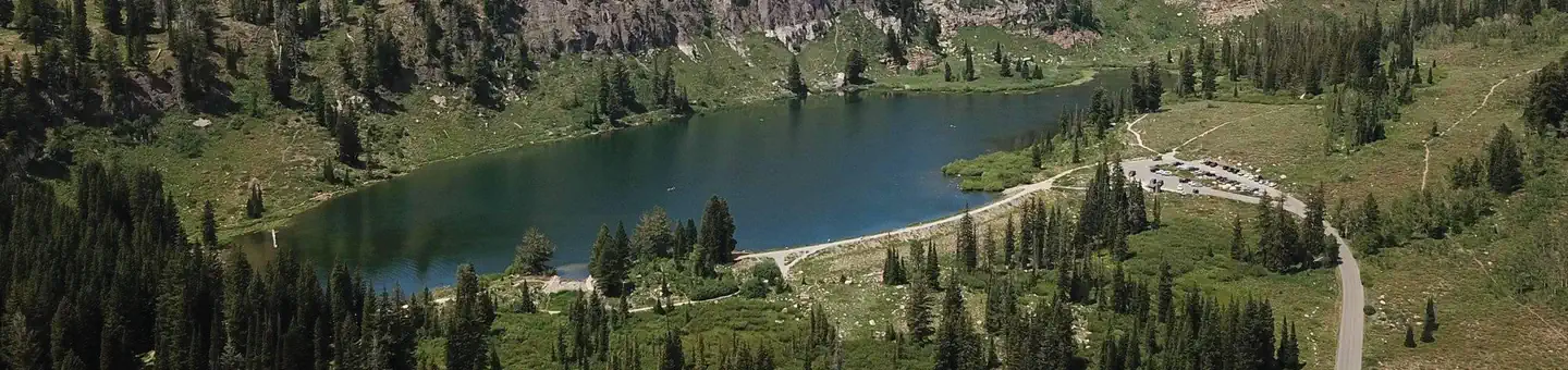 Tony Grove CampgroundCampground · 36 sites
Overview Tony Grove Campground is situated on the mountainside above beautiful Tony Grove Lake, about 19 miles east of Logan, Utah, at an elevation of 8,100…
 Tony Grove Day UseCampground · 57 sites
Overview Tony Grove Campground is situated on the mountainside above beautiful Tony Grove Lake, about 19 miles east of Logan, Utah, at an elevation of 8,100…
- Tony Grove Day Use AreaFacility · not watchable
This area includes a paved parking area adjacent to Tony Grove Lake and 3 picnic sites on the south and 3 on the east shores of the lake. There is also a…
- Topaz Internment CampFacility · not watchable
The internment of Americans of Japanese ancestry during WWII was one of the worst violations of civil rights against citizens in the history of the United…
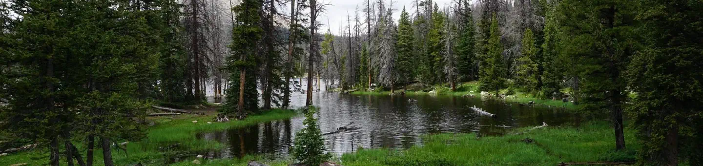 Trial Lake CampgroundCampground · 58 sites
Overview Trial Lake Campground is located just off the Mirror Lake Scenic Byway on the shores of Trial Lake at an elevation of 9,500 feet.
- Trin-Alcove/ Three CanyonFacility · not watchable
This area is the most popular stop along the famous Labyrinth Canyon flat water trip.
- Trough Springs Canyon TrailheadFacility · not watchable
Length of Hike: 2.5 miles one way Area Attractions: The trail has excellent views of the La Sal Mountains and also goes through the beautiful riparian area of…
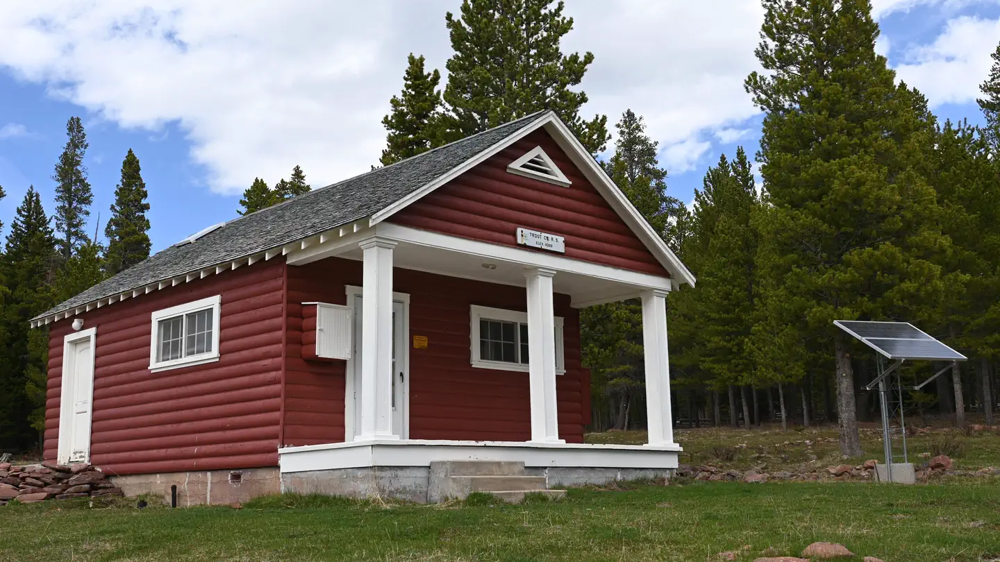 Trout Creek Guard StationCampground · 1 sites
Overview Trout Creek Guard Station is located in the Trout Creek area, approximately 21 miles west of U.S. Highway 191 near Vernal, in eastern Utah.
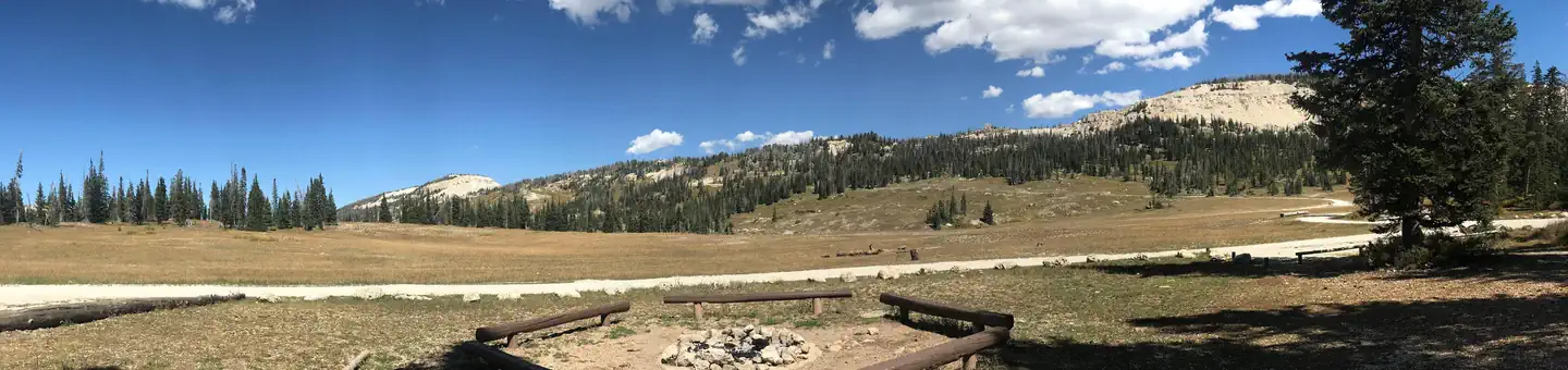 Twelve Mile FlatCampground · 16 sites
Overview Twelve Mile Flat Campground is located beneath the shadow of Mt. Baldy near the top of the Wasatch Plateau in an open, wildflower-filled meadow…
 Twin Creeks PicnicCampground · 1 sites
Overview Twin Creeks Picnic Area is is a day-use site located next to Fish Lake, Twin Creeks and the Fishlake Scenic Byway at an elevation of 8,800 feet.
 Twin Lake CampgroundCampground · 3 sites
Overview Twin Lake Campground rests in a juniper tree belt between the lower river bottom of Twelve Mile Canyon and the upper sub-alpine top of Skyline Drive.
- U'waiv TrailFacility · not watchable
Recommended Users: Equestrians, Hikers, Mountain Bikers. Singletrack trail. 0.2 miles in length.
 Uinta River GroupCampground · 1 sites
Overview Uinta River Group Campground is located about 25 miles from Roosevelt near the Uinta River at an elevation of 7,600 feet.
- Upper Barker ReservoirFacility · not watchable
A fishing lake in the North Creek Lakes area. The Department of Wildlife Resourses of Utah (DWR) stocks this lake with Brook Trout.
- Upper Big Bend CampgroundCampground · not watchable
Campsites tucked along the Colorado River Canyon with spectacular views suitable for tent camping.
- Upper Black Box TrailheadFacility · not watchable
The Upper Black Boxes can be deadly and should only be attempted by experienced hikers.
- Upper Graveyard TrailFacility · not watchable
Recommended Users: Equestrians, Hikers, Mountain Bikers. Singletrack trail. 0.4 miles in length.
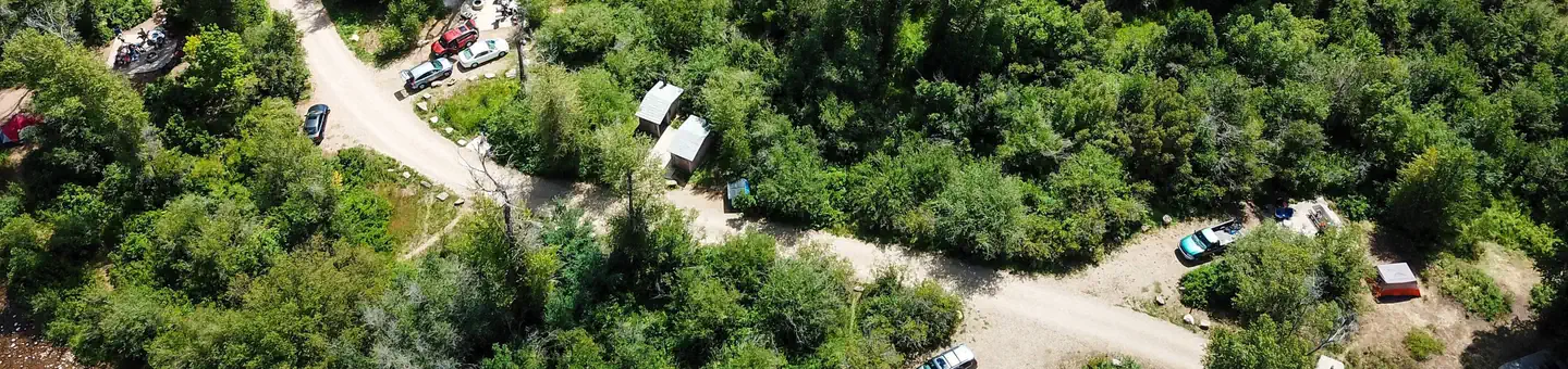 Upper Meadows CampgroundCampground · 9 sites
Overview Upper Meadows Campground is a small campground located adjacent to the South Fork of the Ogden River at an elevation of 5,300 feet.
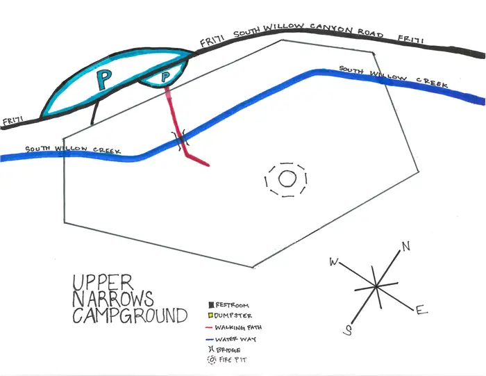 Upper NarrowsCampground · 1 sites
Overview Upper Narrows Campground is located southwest of Grantsville, Utah, in South Willow Canyon at an elevation of 6,400 feet.
- Upper Onion Creek CampgroundCampground · not watchable
Upper Onion Creek Campground offers striking views of the Colorado River canyon and the surrounding red rock cliffs, mesas and spires, with the La Sal…
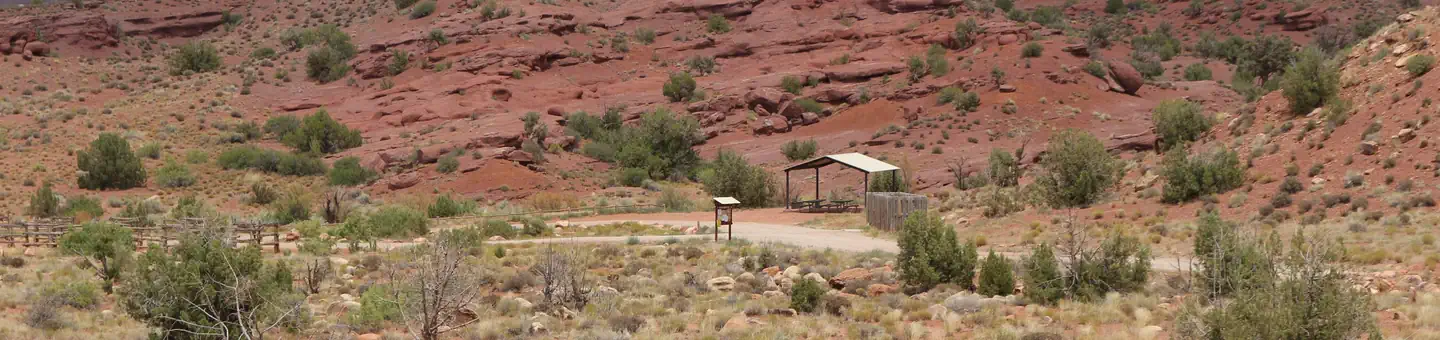 Upper Onion Creek Group SiteCampground · 2 sites
Overview Upper Onion Creek Group Sites are ideal for small family or group gatherings.
- Upper Pleasant Creek CampgroundFacility · not watchable
Campground. This is a favorite for campers. There is trout fishing nearby at Lower Bowns Reservoir and Lower Pleasant Creek.
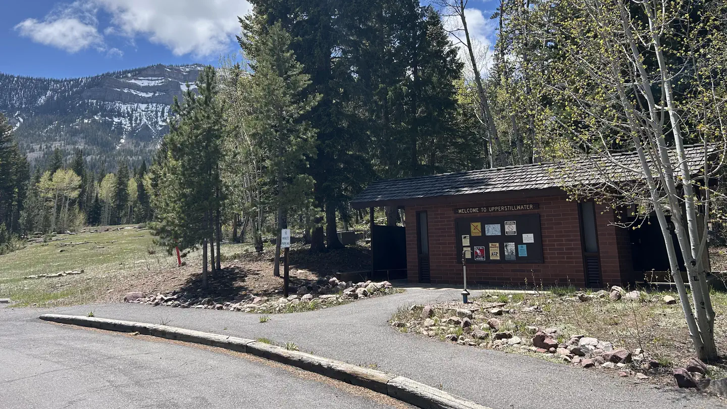 Upper StillwaterCampground · 11 sites
Overview Upper Stillwater Campground is located below its namesake reservoir in the Rock Creek Drainage on the southern slope of the beautiful Uinta Mountains.
- Upper Valley Granary WaysideFacility · not watchable
Tucked into the cliff face above this wayside is a small stone-and-mud-daubed structure constructed by Ancient Puebloans.
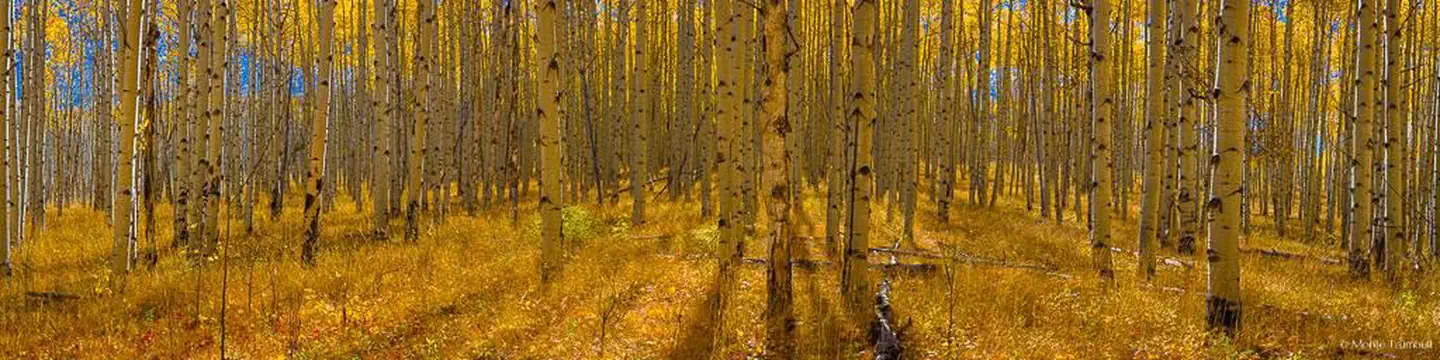 Warner LakeCampground · 21 sites
Overview Warner Lake Campground and Cabin are located high in the La Sal Mountains at an elevation of 9,400 feet, next to beautiful Warner Lake.
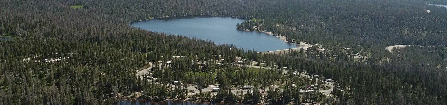 Washington LakeCampground · 44 sites
Overview Washington Lake Campground is located just off the Mirror Lake Scenic Byway on the shores of Washington Lake at an elevation of 10,000 feet.
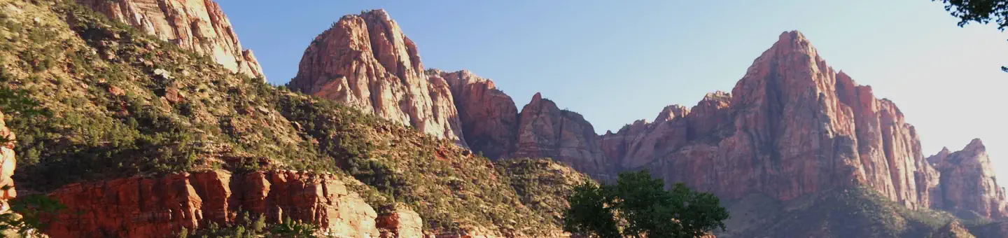 Watchman CampgroundCampground · 184 sites
Overview For visitors to Zion National Park, Watchman Campground is an ideal place to stay.
- Water Canyon Arch TrailFacility · not watchable
Recommended Users: Hikers. Route. 3.2 miles in Length. Difficulty: Moderate. The start of this hike travels along a sandy trail through brush as you get closer…
- Water Canyon TrailFacility · not watchable
Recommended Users: Hikers. Route. 3.2 miles in Length. Difficulty: Moderate. The start of this hike travels along a sandy trail through brush as you get closer…
- Waterfall North TrailheadFacility · not watchable
The Waterfall North trailhead is located on the temple mountain road south west of temple mountain.
- Waterfall South Trailhead SouthFacility · not watchable
The Waterfall South trailhead is located on the temple mountain road south west of temple mountain.
- Welcome SpringFacility · not watchable
With its lush riparian ecosystem and dramatic topography of limestone cliffs and caves, this scenic area offers world-class climbing opportunities year-round.
- West Bench PuebloFacility · not watchable
Located within the Vermilion Cliffs National Monument, West Bench Pueblo is the site of ancient dwellings used by the Ancestral Puebloans.
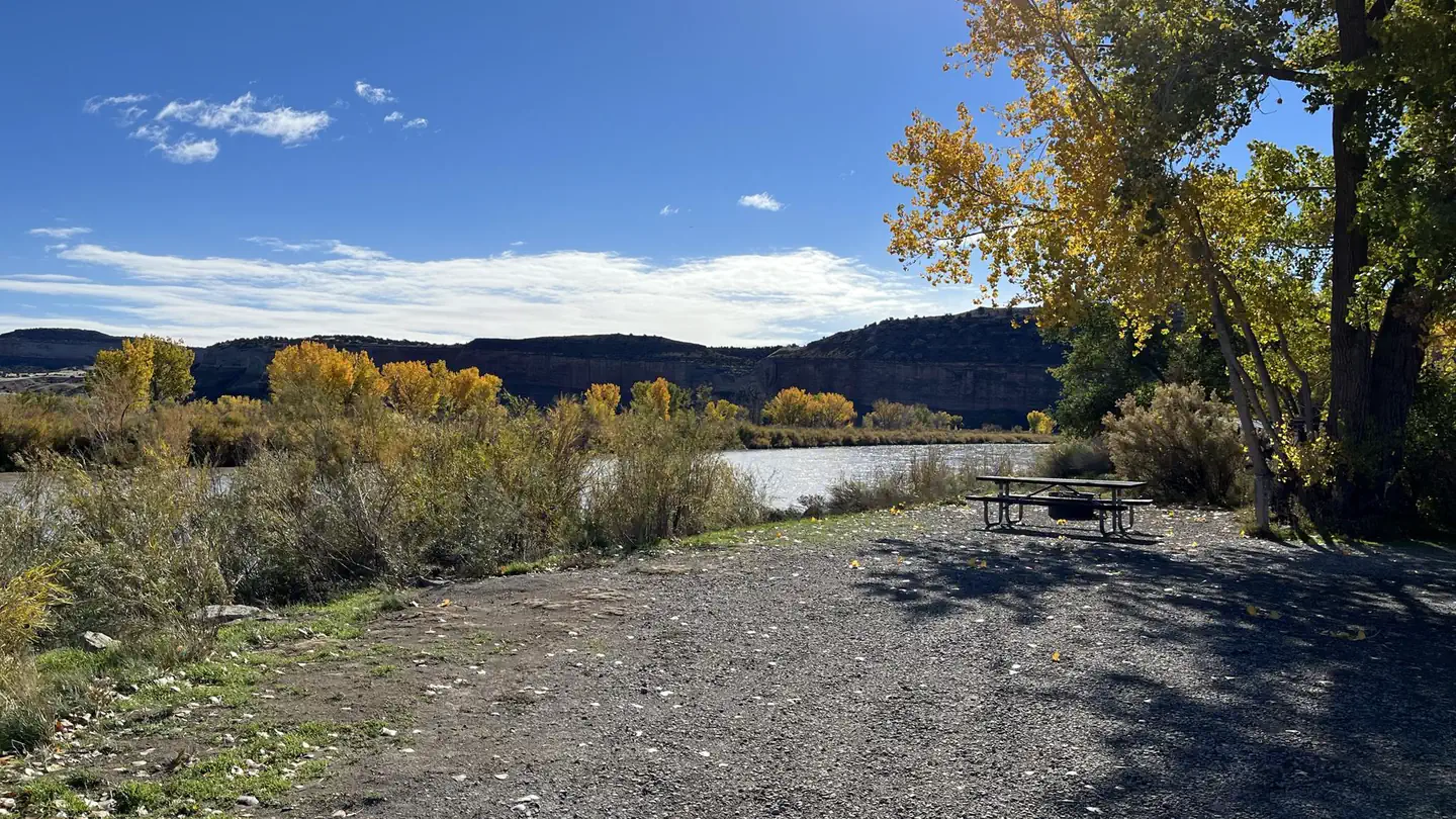 Westwater Campground (Ranger Station)Campground · 11 sites
Overview Welcome to the wild and remote canyons and rivers of eastern Utah. The Westwater Campground is located next to the Westwater Ranger Station; the…
- Westwater Canyon Recreation SiteFacility · not watchable
The Bureau of Land Management's Moab Field Office manages Westwater Canyon. A contact station and ranger residence is located at the put-in.
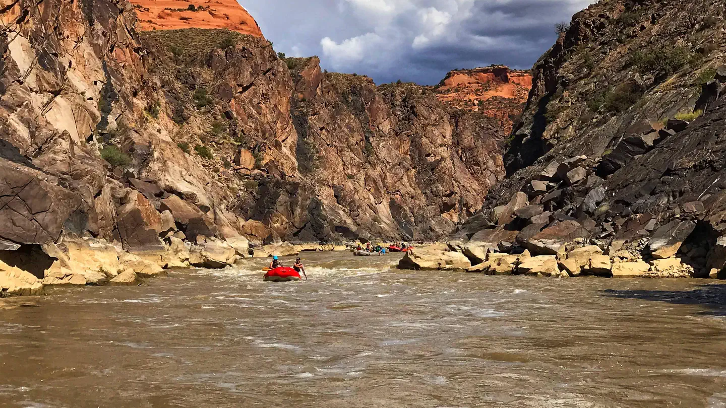 Westwater Canyon River PermitsPermit
Westwater Canyon is the first whitewater stretch on the Colorado River in Utah. The canyon is 17 miles long and includes Class IV rapids, is challenging at all…
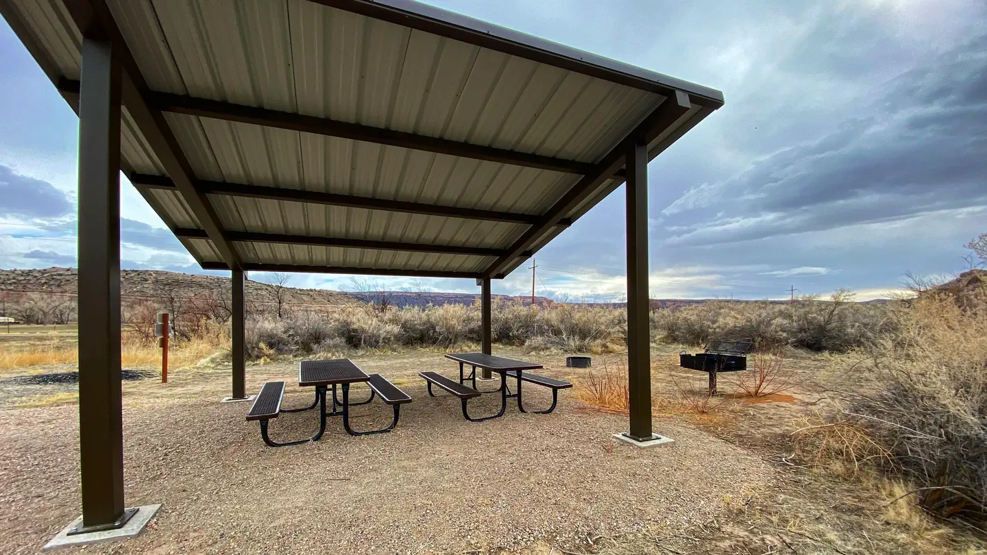 Westwater Group Site (Ranger Station)Campground · 1 sites
Overview Welcome to the wild and remote canyons and rivers of Eastern Utah. The Westwater Group Site is located next to the Westwater Ranger Station; the…
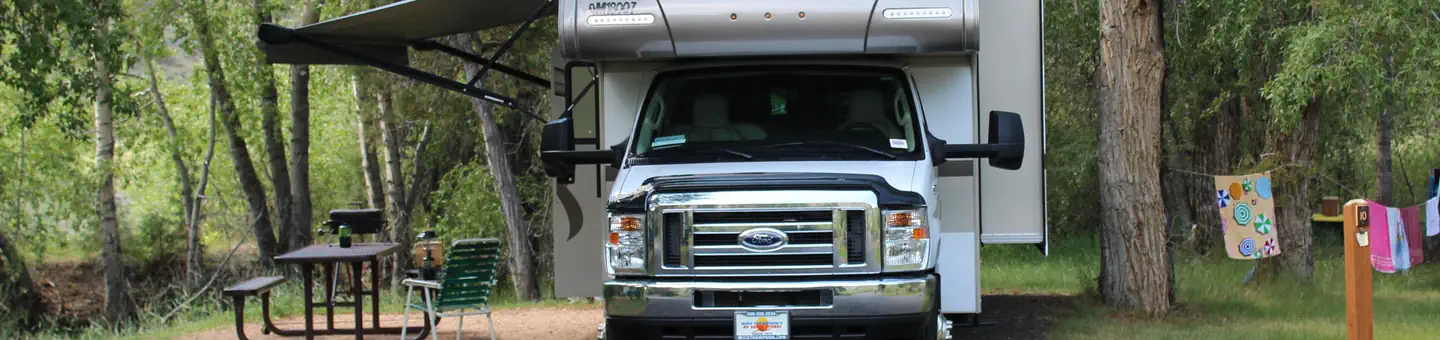 White BridgeCampground · 28 sites
Overview White Bridge Campground is located just 12 miles southwest of Panguitch, Utah and 55 miles northeast of Cedar City.
- White Domes TrailFacility · not watchable
Recommended Users: Hikers. Route. 1.36 miles in length. Difficulty: Moderate. The White Domes Trail is a continuation of the Water Canyon trail.
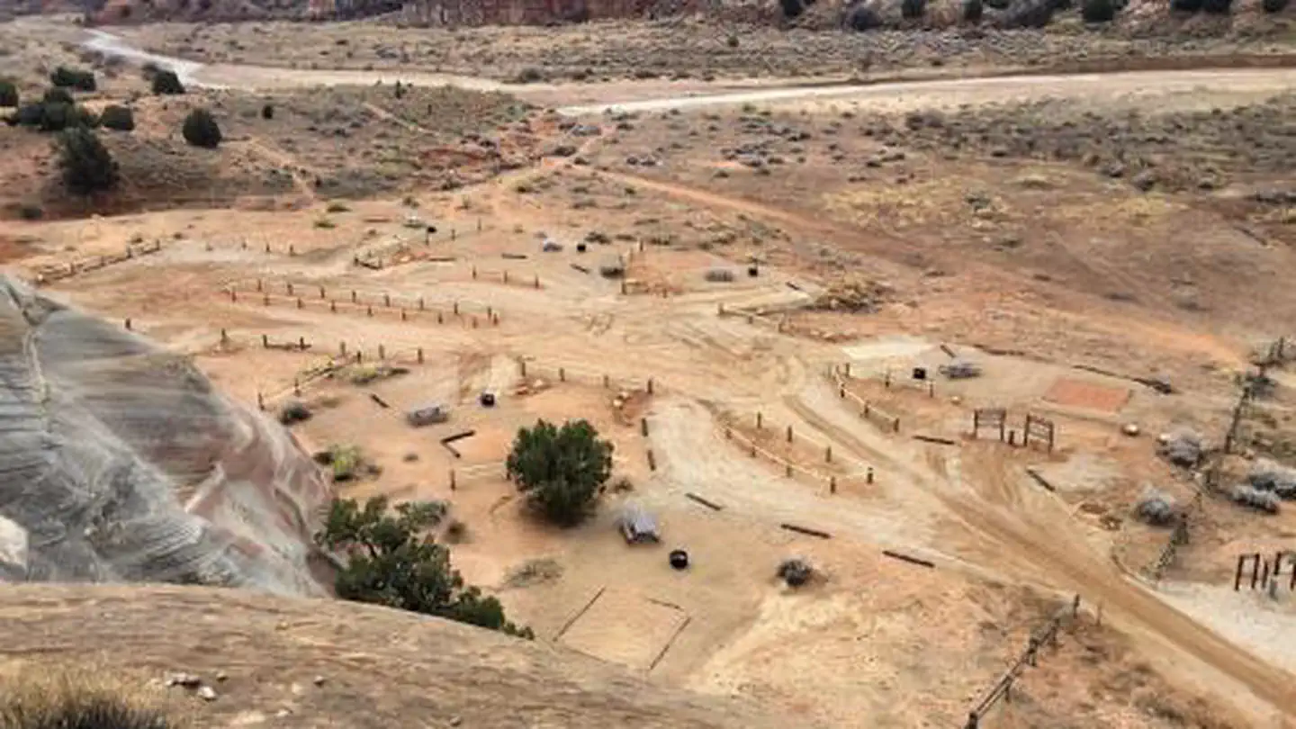 White House CampgroundCampground · 12 sites
Overview White House campground is located approximately 43 miles east of Kanab, Utah, two miles to the south of Highway 89 and the Paria Contact Station, at…
- White Reef TrailFacility · not watchable
Recommended Users: Mountain Bikers, Hikers, Equestrians. Two-track trail. Difficulty: Moderate/More Difficult.
- White TrailFacility · not watchable
Recommended Users: Mountain Bikers, Hikers, OHVers. Two-track/Singletrack. 3.09 miles in length. Difficulty: Easiest.
- White Wash Sand Dunes TrailheadFacility · not watchable
The White Wash Sand Dunes are located 48 miles northwest of Moab, and 25 miles southeast of Green River.
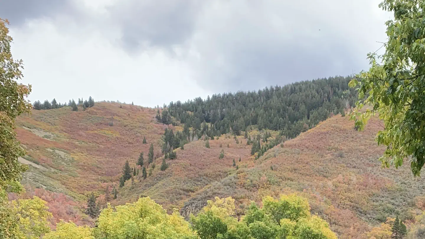 WhitingCampground · 27 sites
Overview Whiting Campground is located in Maple Canyon, just 3 miles from the town of Mapleton, Utah, at an elevation of 5,400 feet.
- William's Bottom CampgroundCampground · not watchable
ATTENTION: William's Bottom Campground will be closed the first week of December 2020: 11/30 through 12/4 for maintenance.
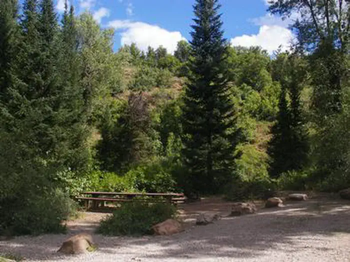 Willow Flat CampgroundCampground · 54 sites
Overview Willow Flat is a popular campground, located on the banks of the Cub River, in southeastern Idaho.
 Willow LakeCampground · 10 sites
Overview WIllow Lake Campground is located on the east shore of Willow Lake, at an elevation of 9,640 feet.
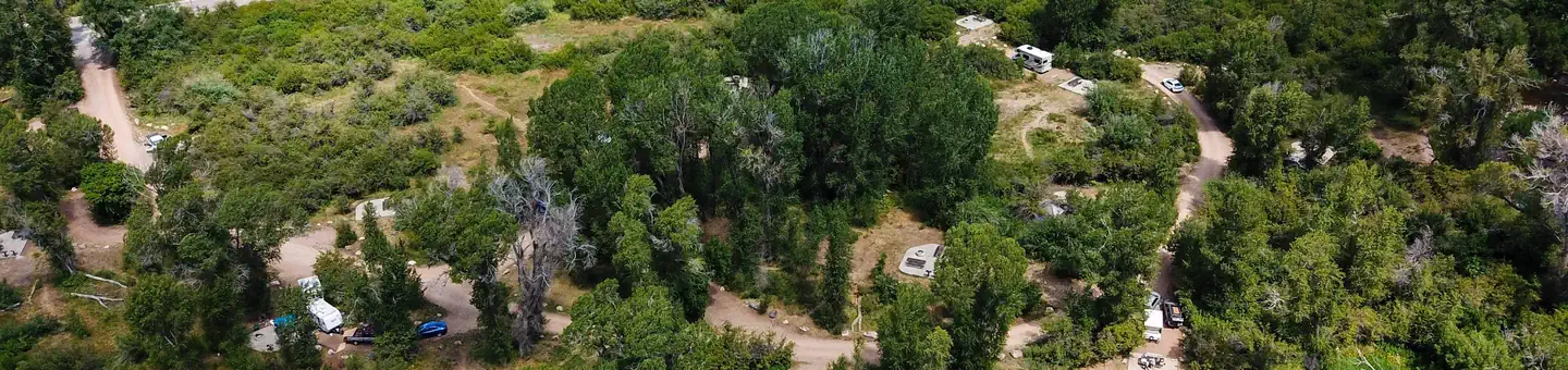 Willows Campground (UT)Campground · 16 sites
Overview Willows Campground is located adjacent to the South Fork of the Ogden River.
- Wilson ArchFacility · not watchable
Wison Arch was named after Joe Wilson, a local pioneer who had a cabin nearby in Dry Valley. It is a five-minute hike off of Highway 191, south of Moab, Utah.
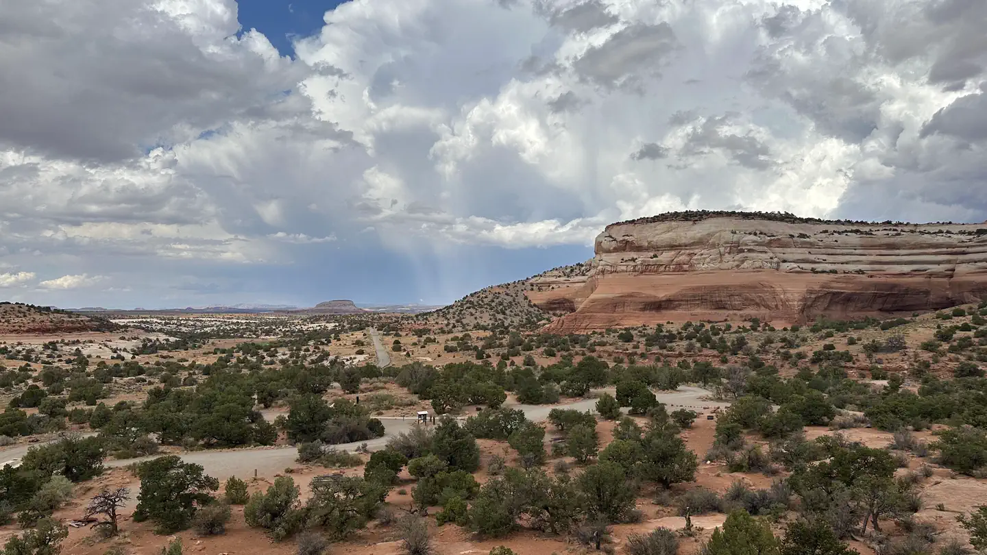 Windwhistle CampgroundCampground · 15 sites
Overview Located 38 miles southwest of Moab, the campground is nestled against the smooth sandstone of Roan Bailey Mesa.
- Windwhistle CampgroundCampground · not watchable
Quiet campground perfect for exploring the spectacular Canyon Rims Recreation Area. Individual sites are available on a first-come, first-served basis.
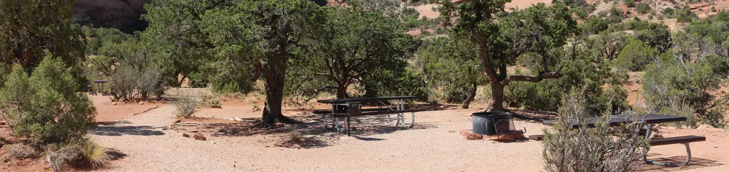 Windwhistle Group SiteCampground · 1 sites
Overview The Windwhistle Group Site is ideal for small gatherings looking for a quiet retreat. The parking is limited and you must walk in to the site.
- Winkle Bob Trail HeadFacility · not watchable
This trailhead is a staging area for the Winkle Bob equestrian trail. Park at the trailhead, get oriented at the kiosk, and take this non-motorized trail for a…
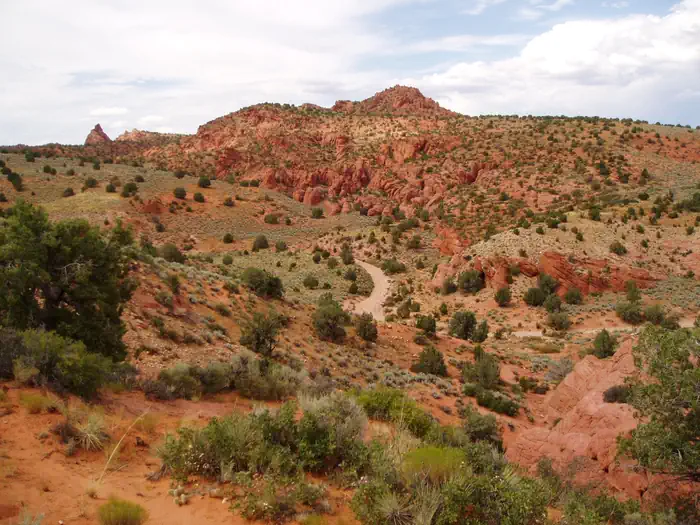 Wire Pass Day UseActivity pass
 Wolf Creek (Ut)Campground · 5 sites
Overview Wolf Creek Campground is located on the summit of scenic Wolf Creek Highway at an elevation of 9,400 feet.
 Wood Camp Campground (UT)Campground · 6 sites
Overview Wood Camp Campground is located just off the Logan Canyon scenic Byway at an elevation of 5,600 feet.
- Yankee Meadow CampgroundCampground · 29 sites
Overview Yankee Meadows Campground is a little known gem that offers outstanding beauty and recreation.
- Yellow LakeFacility · not watchable
A small fishing lake in the North Creek Lakes area. The Department of Wildlife Resourses of Utah (DWR) stocks this lake with Brook Trout.
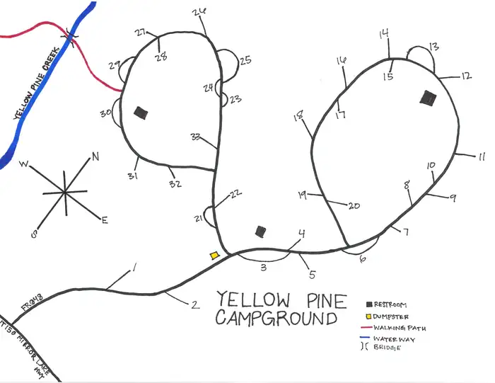 Yellow Pine Campground (UT)Campground · 32 sites
Overview Yellow Pine Campground is located on the Mirror Lake Scenic Byway at an elevation of 7,200 feet.
- Yellow TrailFacility · not watchable
Recommended Users: Mountain Bikers, Hikers. Singletrack trail. 0.54 miles in length. Difficulty: Most Difficult.
 YellowpineCampground · 17 sites
Overview Yellowpine Campground is located next to Rock Creek in the Rock Creek Drainage on the southern slope of the beautiful Uinta Mountains.
 Yellowstone Group CampgroundCampground · 1 sites
Overview Yellowstone Group Campground lies along its pretty namesake river on the southern slope of the Uinta Mountains, about 40 miles from Duchesne, Utah.
 Zion Canyon Visitor CenterVisitor Center · not watchable
Located near the South Entrance of the park, the Zion Canyon Visitor Center is an excellent place to begin your exploration of Zion Canyon.
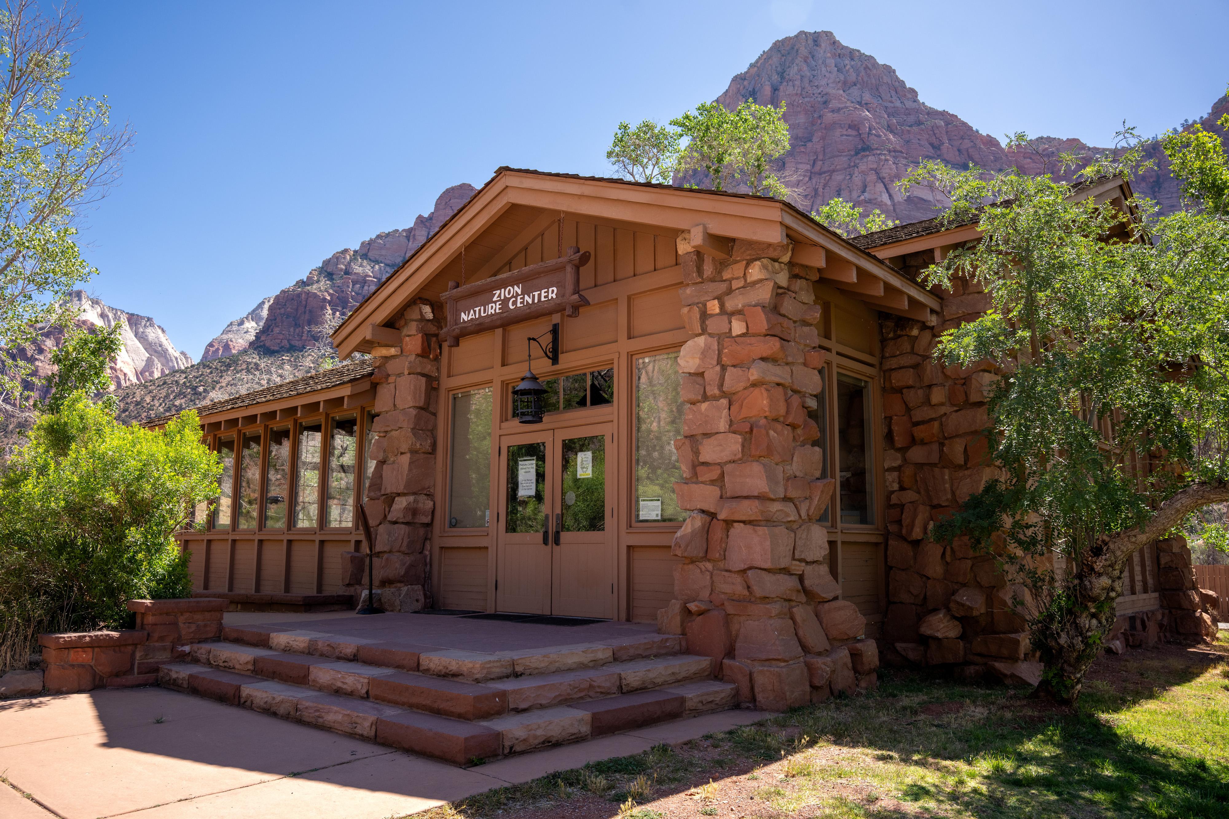 Zion Nature CenterVisitor Center · not watchable
During the summer, come visit the Zion Nature Center! This is a perfect place to learn about geology, animals, and the history of Zion.
Facility information and photographs from Recreation.gov (RIDB). SpotOpened is not affiliated with Recreation.gov or any federal agency.