Miners Gulch
Campground · Utah ·
Managed by the USDA Forest Service
Ashley National Forest (NF) · Open Access
- 0
- Bookable sites
- 24 ft
- Max rig length
- up to 40
- People per site
- 7,485 ft
- Elevation
Overview
Miners Gulch Campground was affected by large debris in 2023 that cause irrepairable damage and is no longer open to the Public.
Recreation
Rock Creek offers fishing for brown, brook and rainbow trout. Whitewater rafting and kayaking opportunities are available seasonally.Facilities
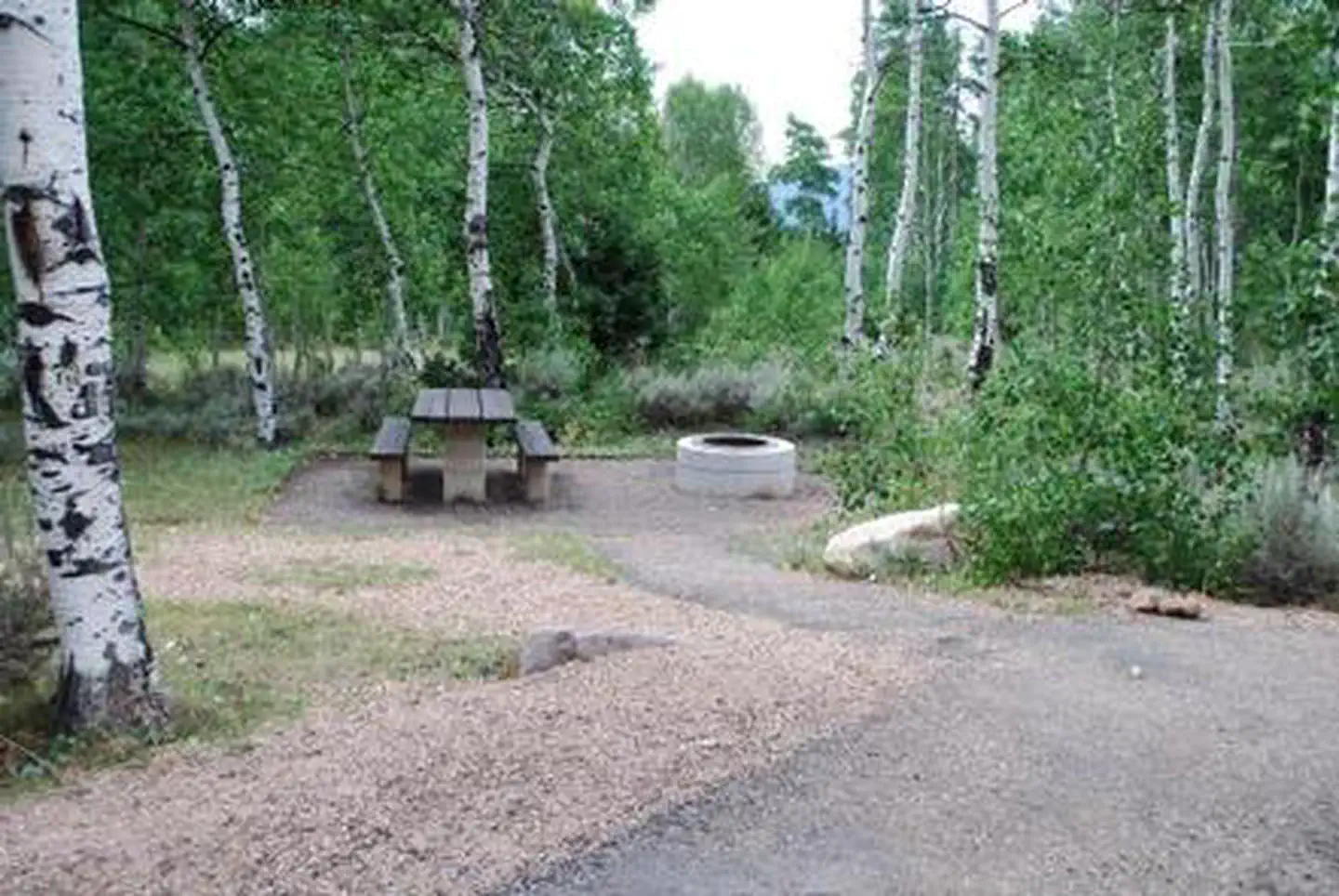
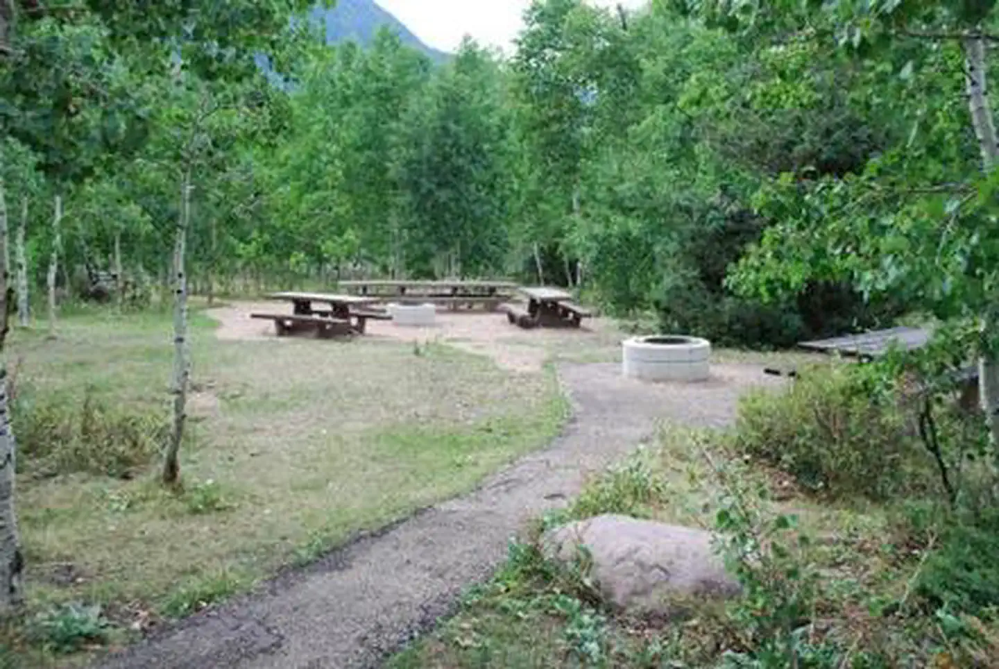
The campground is a group camping facility made up of several individual sites, which can accommodate a group of up to 40 people. Picnic tables and campfire rings are provided, as are vault toilets. The campground has no running water so campers must bring their own supply.Natural Features
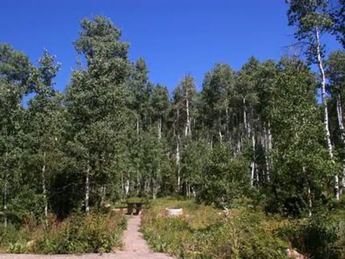
This shaded campground is set back off the main road for privacy. Dense stands of aspens shade the campground, and pines, sagebrush and wildflowers dot the landscape. Evenings in this area are cool.Nearby Attractions
The Rock Creek Trail begins just over a mile away and connects with an accessible, paved interpretive nature trail in Yellowpine Campground.The Rock Creek Trail provides access to the High Uintas Wilderness, where hiking, backpacking, horseback riding and backcountry fishing are very popular activities.
Upper Stillwater Reservoir and Lower Stillwater Ponds are nearby, offering fishing for brown and rainbow trout, swimming and picnicking.
Upper Stillwater is currently accessible only by hiking in. Numerous hiking trails lead into the High Uinta Wilderness Area from here.
The facts
- Season: May — USDA Forest Service, Aug 24, 2026
- 0 bookable sites
- 1 site in total, including non-bookable
- Vehicles up to 24 ft
- Up to 40 people per site
- Loops: MINERS GULCH
Site types
- 1 Management
Amenities
- Campfires allowed
- Fire pits
- Picnic tables
- Shade
Not recorded upstream: electric hookups, water hookups, sewer hookups, grills, pets allowed.
1 campsite at Miners Gulch
Check-in 2:00 PM · Check-out 2:00 PM
| Site | Loop | Type | Entry | Surface | Max rig | People | |
|---|---|---|---|---|---|---|---|
| G01 | MINERS GULCH | Management | Back In | Paved | 24 ft | 40 |
Getting there
You'll see a sign for Miners Gulch and a dirt road immediately after it. Do not take the dirt road. The campground turnoff is paved and is a few hundred yards after the sign.
40.53278, -110.62278 · 40°31'58.0"N 110°37'22.0"W
Typical weather
| Jan | Feb | Mar | Apr | May | Jun | Jul | Aug | Sep | Oct | Nov | Dec | |
|---|---|---|---|---|---|---|---|---|---|---|---|---|
| High °F | — | — | — | — | — | — | — | — | — | — | — | — |
| Low °F | — | — | — | — | — | — | — | — | — | — | — | — |
| Precip in | 3.3 | 3.3 | 3.0 | 3.4 | 2.8 | 1.5 | 2.0 | 2.3 | 2.8 | 3.1 | 2.6 | 3.2 |
1991–2020 averages from the nearest NOAA station, 3.7 mi away — not measured at the facility itself, and elevation can make a real difference over that distance.
Map
More photos
Member photos
Common questions about Miners Gulch
- Can you reserve a site at Miners Gulch?
- Yes, Miners Gulch is reservable through Recreation.gov.
- How many campsites does Miners Gulch have?
- 1 site in total, of which 0 can be booked.
- What is the maximum RV length at Miners Gulch?
- 24 ft. That is the longest vehicle the sites here are recorded as taking; individual sites may be shorter.
- Are campfires allowed at Miners Gulch?
- Campfires are allowed at Miners Gulch. Check for a current fire restriction before you go.
Also listed by
Miners Gulch also appears in other federal recreation data. Facts below are matched by name and location, not confirmed by Miners Gulch's operator.
USDA Forest Service — data as of Aug 24, 2026
- $25/night for group unit.
Camping near Miners Gulch
- Rock Creek Group (UT) 0.6 mi · Campground · we watch it
- Yellowpine 0.8 mi · Campground · we watch it
- Upper Stillwater 4.5 mi · Campground · we watch it
- Moon Lake Campground 6 mi · Campground · we watch it
- Moon Lake Guard Station 6.3 mi · Campground · we watch it
- Moon Lake Group Campground 6.8 mi · Campground · we watch it
- Aspen (Ut) 12 mi · Campground · we watch it
- Hades 13.1 mi · Campground · we watch it
- Iron Mine 13.9 mi · Campground · we watch it
- Yellowstone Group Campground 15.1 mi · Campground · we watch it
- Upper Stillwater House 4 mi · Campground
- Swift Creek Campground 15.2 mi · Campground
Contact
- Phone 435-738-2482
- Book Recreation.gov
Recreation.gov last updated this record on 2026-02-25.
Facility information and photographs from Recreation.gov (RIDB). SpotOpened is not affiliated with Recreation.gov or any federal agency.
Comments