Moccasin Mountain Dinosaur Tracksite
Facility · Utah ·
Managed by the Bureau of Land Management
Kanab Field Office (Bureau of Land Management UT) · Open Access
- 5,542 ft
- Elevation
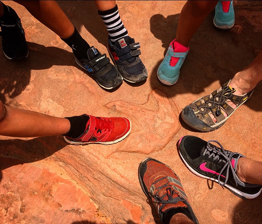
The Moccasin Mountain Dinosaur Tracksite is one of Utah’s most significant fossil track localities located on BLM-managed lands near Kanab. Visitors can explore the track-bearing surfaces on foot and learn from interpretive panels that explain the geology, paleontology, and importance of protecting these fragile resources. The site’s remote setting provides expansive views of Navajo Sandstone and surrounding high-desert terrain.
The site preserves hundreds of fossilized dinosaur and other vertebrate footprints in the Navajo Sandstone, dating back approximately 180 million years to the early Jurassic. Three-toed tracks like Kayentapus and Grallator were made by theropod dinosaurs, whereas the large four-toed tracks, Otozoum, were made by the bi-pedal ancestors to the herbivorous, long-necked sauropod dinosaurs. The site also contains tracks called Batrachopus, attributable to crocodilians, and Brasilichnium, which were made by small, early mammals. The site provides insight into the behavior and movement of dinosaurs and other animals before the landscape transitioned from an oasis in a Sahara-like desert to the colorful Navajo Sandstone seen today.
To reach the tracks from the lower parking area near the interpretive display, walk around the vehicle barricade and follow the drainage west. After about 180 yards (165 meters), the drainage ends at a pour-off. At this point, climb the slope to the right (north) and begin exploring the surrounding sandstone. Watch the ground closely — tracks often blend into the rock and may take time to notice. Many visitors find that footprints become easier to spot after spending a few minutes at the site, and on the return hike you may discover tracks you passed without seeing earlier.
Hours and Seasons
Open year-round. Spring and fall offer the most comfortable conditions. Summer heat can be extreme, and the access road may become impassable during wet weather.
Features and Services
- Access and Parking: Sand parking area at the site. High-clearance, four-wheel drive vehicles are recommended due to sections of deep sand on the access roads that can be especially challenging to navigate when the sand is dry. Access can also be challenging when conditions are wet.
- Foot Traffic Only: The tracksite is open to foot traffic only; bicycles and motorized vehicles are not allowed past the parking areas.
- Educational Resources: Brochures and a children’s activity handouts are available at the BLM Kanab Visitor Center in Kanab, Utah. The visitor center also has maps and information about visiting the site.
- Cell Service: Limited or nonexistent; plan ahead.
- Toilets: None available on-site.
- Drinking Water: Not available; bring your own supply.
- Pets: Allowed on leash; keep pets off fossil surfaces and pack out waste.
- Camping: No camping at the tracksite. Dispersed camping may be allowed in surrounding BLM lands; check local regulations.
- Nearby Amenities: Kanab offers food, fuel, lodging, and medical services.
Respect and Protect
Dinosaur tracks are irreplaceable fossils. Viewing and photography are encouraged, but do not walk directly on tracks, remove material, deface surfaces, or make molds or casts. By practicing responsible outdoor ethics, you're helping ensure future visitors can appreciate this remarkable site.
Getting there
From the Kanab Visitor Center (BLM) in Kanab, Utah, turn right onto Highway 89 and continue north through Kanab. After approximately 8.9 miles, turn left onto Hancock Road. Follow Hancock Road for 9.4 miles to its intersection with County Road 1000 / Coral Pink Sand Dunes Road. Turn left onto County Road 1000 and drive 6.89 miles. Turn left onto BLM Road 30.
From here, take BLM Road 30 south. After about 0.4 miles, stay left at the “Y” to remain on BLM Road 30. Continue for another 1.5 miles to reach the main / upper parking area on the left delineated by a rail fence. Visitors with true off-highway vehicles may continue down a short, steep, sandstone slope to the lower parking area near the interpretive signs.
37.00250, -112.81372 · 37°0'9.0"N 112°48'49.4"W
Typical weather
Typically 95°F in Jul, down to 48°F in Dec.
| Jan | Feb | Mar | Apr | May | Jun | Jul | Aug | Sep | Oct | Nov | Dec | |
|---|---|---|---|---|---|---|---|---|---|---|---|---|
| High °F | 49 | 53 | 61 | 68 | 78 | 89 | 95 | 92 | 85 | 72 | 59 | 48 |
| Low °F | 25 | 28 | 33 | 38 | 46 | 54 | 62 | 62 | 54 | 42 | 31 | 24 |
| Precip in | 1.3 | 1.8 | 1.7 | 1.1 | 0.6 | 0.3 | 1.2 | 1.4 | 1.5 | 1.2 | 1.1 | 1.1 |
1991–2020 averages from the nearest NOAA station, 8.8 mi away — not measured at the facility itself, and elevation can make a real difference over that distance.
Map
Fees and stay limits
No fees
Stay limit: Day-use only
From Recreation.gov, which is not always current. The operator's own page is the authority on what you will be charged.
Member photos
Common questions about Moccasin Mountain Dinosaur Tracksite
- Can you reserve a site at Moccasin Mountain Dinosaur Tracksite?
- No. Moccasin Mountain Dinosaur Tracksite is not reservable through Recreation.gov, so sites are first-come, first-served or booked elsewhere.
- How long can you stay at Moccasin Mountain Dinosaur Tracksite?
- Day-use only
Camping near Moccasin Mountain Dinosaur Tracksite
- Ponderosa Grove Campground 9.8 mi · Campground · we watch it
- Elephant Cove Staging Area 1.6 mi · Facility
- Pine Spring Kiosk 3.3 mi · Facility
- Squirrel Mountain Trail 7.4 mi · Facility
- Water Canyon Trail 8.1 mi · Facility
- White Domes Trail 9 mi · Facility
- Water Canyon Arch Trail 9 mi · Facility
- Pipe Spring Visitor Center and Cultural Museum 10.5 mi · Facility
- Clay Flat Kiosk 13.6 mi · Facility
- Zion Dump Station Fee for Non-campers 14.5 mi · Activity pass
- Eagle Crags Trail 15.6 mi · Facility
- The Barracks Kiosk 15.9 mi · Facility
Contact
- Phone 435-644-1200
- Email BLM_UT_KN_Mail@blm.gov
- Info Recreation.gov
Recreation.gov last updated this record on 2026-03-30.
Facility information and photographs from Recreation.gov (RIDB). SpotOpened is not affiliated with Recreation.gov or any federal agency.
Comments