Twin Lake Campground
Campground · Utah · 3 bookable sites ·
Managed by the USDA Forest Service
Manti-La Sal National Forest (NF) · Open Access
- 3
- Bookable sites
- 40 ft
- Max rig length
- up to 40
- People per site
- 7,211 ft
- Elevation

Overview
Twin Lake Campground rests in a juniper tree belt between the lower river bottom of Twelve Mile Canyon and the upper sub-alpine top of Skyline Drive. Visitors enjoy exploring a wealth of off-road vehicle trails.Recreation
With an off-road vehicle learner loop in the campground and a central location between trails connecting to the Arapeen OHV Trail system and Skyline Drive, Twin Lake is the perfect staging area for exciting riding at any skill level.Facilities
The campground contains one group site available for online reservations. This site accommodates up to 40 people and six vehicles. An additional 21 single-family sites are available, two of which, Sites 11 and 13, are open for online reservations.Campfire rings are provided in each campsite and two vault toilets are regularly maintained and accessible within the campground. There is no trash collection so be prepared to pack out what you bring in.
Natural Features
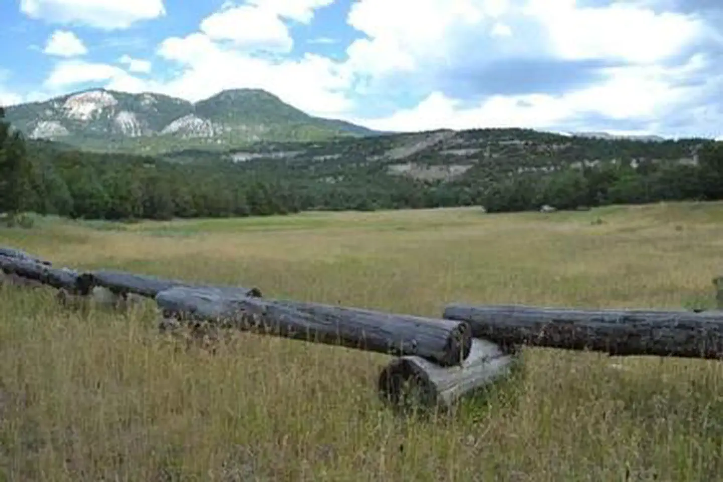
The campground is located 7 miles up Twelve Mile Canyon from the town of Mayfield Utah, nestled among Flagstaff Limestone bluffs. At 7,000 feet above sea level, Twin Lake Campground allows early access in the spring and warmer temperatures in the fall.
Nearby Attractions
The Arapeen OHV Trail System offers extensive riding. Access to Skyline Drive rewards visitors with picturesque scenery and outdoor excitement.The facts
- Season: May – September 30 — USDA Forest Service, Aug 24, 2026
- 3 bookable sites
- 4 sites in total, including non-bookable
- Vehicles up to 40 ft
- Up to 40 people per site
- Loops: Main Loop, Scan and Pay
Site types
- 2 Standard Nonelectric
- 1 Group Standard Nonelectric
- 1 Management
Amenities
- Campfires allowed
- Fire pits
- Picnic tables
- Shade
- Pets allowed
Not recorded upstream: electric hookups, water hookups, sewer hookups, grills.
4 campsites at Twin Lake Campground
| Site | Loop | Type | Entry | Surface | Max rig | People | |
|---|---|---|---|---|---|---|---|
| 011 | Main Loop | Standard Nonelectric | Back In | — | 40 ft | 10 | 🐾 |
| 013 | Main Loop | Standard Nonelectric | Back In | — | 40 ft | 10 | 🐾 |
| Group A | Main Loop | Group Standard Nonelectric | Parallel | Gravel | 40 ft | 40 | 🐾 |
| ScanPay 1 | Scan and Pay | Management | Back In | — | — | 0 |
Getting there
Travel east out of Mayfield, UT on "Canyon Road" to the Forest Service boundary of Twelve Mile Canyon. Stay on Forest Development Road 22, approximately 7.5 miles from Mayfield, Utah.
39.12083, -111.60056 · 39°7'15.0"N 111°36'2.0"W
Typical weather
| Jan | Feb | Mar | Apr | May | Jun | Jul | Aug | Sep | Oct | Nov | Dec | |
|---|---|---|---|---|---|---|---|---|---|---|---|---|
| High °F | — | — | — | — | — | — | — | — | — | — | — | — |
| Low °F | — | — | — | — | — | — | — | — | — | — | — | — |
| Precip in | 2.5 | 2.5 | 2.6 | 2.9 | 2.2 | 1.0 | 1.4 | 1.6 | 1.9 | 2.3 | 2.4 | 2.9 |
1991–2020 averages from the nearest NOAA station, 2.5 mi away — not measured at the facility itself, and elevation can make a real difference over that distance.
Map
More photos

Member photos
Common questions about Twin Lake Campground
- Can you reserve a site at Twin Lake Campground?
- Yes, Twin Lake Campground is reservable through Recreation.gov.
- How many campsites does Twin Lake Campground have?
- 4 sites in total, of which 3 can be booked.
- What is the maximum RV length at Twin Lake Campground?
- 40 ft. That is the longest vehicle the sites here are recorded as taking; individual sites may be shorter.
- Are pets allowed at Twin Lake Campground?
- Yes, pets are allowed at Twin Lake Campground.
- Are campfires allowed at Twin Lake Campground?
- Campfires are allowed at Twin Lake Campground. Check for a current fire restriction before you go.
Also listed by
Twin Lake Campground also appears in other federal recreation data. Facts below are matched by name and location, not confirmed by Twin Lake Campground's operator.
USDA Forest Service — data as of Aug 24, 2026
- $10 per night for a single site, $30 per night for a group site.
Camping near Twin Lake Campground
- Twelve Mile Flat 6.1 mi · Campground · we watch it
- Indian Creek Guard Station 7.8 mi · Campground · we watch it
- Ferron Reservoir Campground Ferron North 7.9 mi · Campground · we watch it
- Ferron Reservoir 8 mi · Campground · we watch it
- Manti Community 9.7 mi · Campground · we watch it
- Willow Lake 11.8 mi · Campground · we watch it
- Lake Hill 15.3 mi · Campground · we watch it
- Seely Creek Guard Station 16.1 mi · Campground · we watch it
- Upper Six Mile Ponds Campground 5.7 mi · Campground
- Duck Fork Fishing Site 8.9 mi · Facility
- Gunnison Reservoir Day Use Site 9.1 mi · Facility
- Grassy Lake Fishing Site 20.1 mi · Facility
Contact
- Phone 435-283-4151
- Email jhancock02@fs.fed.us
- Book Recreation.gov
Recreation.gov last updated this record on 2026-02-25.
Facility information and photographs from Recreation.gov (RIDB). SpotOpened is not affiliated with Recreation.gov or any federal agency.
Comments