Canyonlands National Park Needles District Campground
Campground · Utah · 11 bookable sites ·
Managed by the National Park Service
Canyonlands National Park (National Park) · Open Access
- 11
- Bookable sites
- 28 ft
- Max rig length
- up to 10
- People per site
- 1
- Accessible site
- 4,909 ft
- Elevation

Overview
The Needles is a remote district located within the southern portion of Canyonlands National Park in southeastern Utah. The Needles District is 1.25 hours driving time from Monticello, Utah, and 1.5 hours from Moab, Utah, and sits at an elevation of approximately 4,900 feet (1494 m).
The Needles Campground offers limited services and is best suited to tents and small, self-contained campers and RVs. If you are looking for group campsites, visit the Needles District Group Campground page.
- You may book individual campsites in Loop B up to six months in advance mid-March through mid-November.
- Loop A is available first come, first served only.
Please, also read “Facilities” below and the “Need to Know” tab for important information.
Recreation
The Needles District's extensive trail system provides many opportunities for long day hikes and overnight backpacking trips. Foot trails and four-wheel-drive roads lead to such features as Confluence Overlook, Druid Arch, the Joint Trail and Chesler Park.Facilities
The Needles is a remote district with limited services and no cell coverage. The Needles Campground and group sites are best suited to tents and small, self-contained campers and RVs. A seasonal campground host (spring and fall) is located in Loop A of the campground.
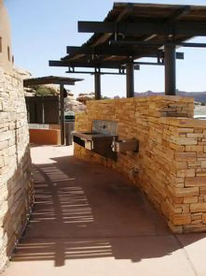
- Individual Campsites: Drinking water and flush toilets are available in the campground. Picnic tables and fire rings are provided at each site. There are no RV hook-ups. The campground does not have electricity, showers or a dump station. Maximum combined vehicle and trailer length is 28 feet (8.5 m).
- If you are looking for group campsites, visit the Needles District Group Campground page.
Natural Features
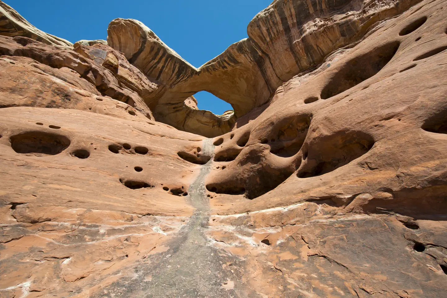
The campground contains stands of Utah juniper and pinyon pine. Flowering prickly pear cacti, yucca and other desert wildflowers dot the landscape in the spring, adding to the vivid colors of the surrounding red rock desert. The Needles District forms the southeast corner of Canyonlands National Park and was named for the colorful spires of Cedar Mesa Sandstone that dominate the area. The park is within an arid, high desert environment with hot summers and cold winters.
Nearby Attractions
Southeastern Utah offers breathtaking scenery, hiking, road and mountain biking opportunities, rafting and scenic driving routes. Arches and Mesa Verde National Parks, the Island in the Sky district of Canyonlands National Park, Hovenweep and Natural Bridges National Monuments and Dead Horse Point and Edge of the Cedars State Parks are all within three hours drive of the Needles Campground. Moab, Utah, (1.5 hours away) offers numerous restaurants, shops and museums.Charges & Cancellations
The facts
- 11 bookable sites
- 26 sites in total, including non-bookable
- 1 accessible site
- Vehicles up to 28 ft
- Up to 10 people per site
- Loops: Loop A, Loop B, Scan and Pay - Card Late Payment
Site types
- 15 Management
- 7 Standard Nonelectric
- 4 Tent Only Nonelectric
Amenities
- Campfires allowed
- Fire pits
- Picnic tables
- Grills
- Shade
- Pets allowed
- Water hookups — not available
- Sewer hookups — not available
Not recorded upstream: electric hookups.
26 campsites at Canyonlands National Park Needles District Campground
| Site | Loop | Type | Entry | Surface | Grade | Max rig | People | |
|---|---|---|---|---|---|---|---|---|
| 001 | Loop A | Management | Back In | Paved | — | — | 10 | 🐾 |
| 002 | Loop A | Management | Back In | Paved | — | 28 ft | 10 | 🐾 |
| 003 | Loop A | Management | Back In | Paved | — | 28 ft | 10 | 🐾 |
| 004A | Loop A | Management | Back In | Paved | — | — | 10 | 🐾 |
| 006A | Loop A | Management | Back In | Paved | — | 28 ft | 10 | ♿ 🐾 |
| 007A | Loop A | Management | Back In | Paved | — | — | 10 | 🐾 |
| 008A | Loop A | Management | Back In | Paved | — | — | 10 | 🐾 |
| 011A | Loop A | Management | Back In | Paved | — | 28 ft | 10 | 🐾 |
| 012A | Loop A | Management | Back In | Paved | — | 28 ft | 10 | 🐾 |
| 013A | Loop A | Management | Back In | Paved | — | 28 ft | 10 | 🐾 |
| 014A | Loop A | Management | Back In | Paved | — | 28 ft | 10 | 🐾 |
| 015A | Loop A | Management | Back In | Paved | — | 28 ft | 10 | 🐾 |
| 016A | Loop A | Management | Back In | Paved | — | 28 ft | 10 | 🐾 |
| Permanent Administrative Site-Previous 005 | Loop A | Management | Back In | Paved | — | — | 10 | 🐾 |
| 017 | Loop B | Standard Nonelectric | Parallel | Paved | — | 28 ft | 10 | |
| 018 | Loop B | Standard Nonelectric | Back In | Paved | — | 28 ft | 10 | |
| 019 | Loop B | Tent Only Nonelectric | — | Paved | — | 28 ft | 10 | 🐾 |
| 020 | Loop B | Tent Only Nonelectric | — | Paved | — | 28 ft | 10 | 🐾 |
| 021 | Loop B | Standard Nonelectric | Back In | Paved | — | 28 ft | 10 | 🐾 |
| 022 | Loop B | Standard Nonelectric | Parallel | Paved | Slight | 28 ft | 10 | 🐾 |
| 023 | Loop B | Tent Only Nonelectric | — | Paved | — | 28 ft | 10 | 🐾 |
| 024 | Loop B | Tent Only Nonelectric | — | Paved | — | 28 ft | 10 | 🐾 |
| 025 | Loop B | Standard Nonelectric | Parallel | Paved | — | 28 ft | 10 | 🐾 |
| 026 | Loop B | Standard Nonelectric | Back In | Paved | — | 28 ft | 10 | |
| 027 | Loop B | Standard Nonelectric | — | Paved | — | 28 ft | 10 | 🐾 |
| Scan and Pay - Card Late Payment | Scan and Pay - Card Late Payment | Management | Back In | Paved | — | — | 10 | 🐾 |
Getting there
On US Highway 191, drive 40 miles (60 km) south of Moab or 14 miles (22 km) north of Monticello, then take Utah Highway 211 roughly 35 miles (56 km) west. Highway 211 ends in the Needles, and is the only paved road leading in and out of the district.
Needles District Campground
From the entrance station follow the main park road until you see signs for the campground. Turn left into the campground and follow the signs into Loop B.
For reservations and directions to group campsites (groups of 11 or more), please visit the Canyonlands National Park Needles District Group Campsites page.
Important!!
There are no lights on park roads or campsites. If you are unfamiliar with the Needles, the park recommends arriving before dark. Bring these driving directions with you.
38.16879, -109.76004 · 38°10'7.6"N 109°45'36.1"W
Typical weather
Typically 95°F in Jul, down to 42°F in Jan.
| Jan | Feb | Mar | Apr | May | Jun | Jul | Aug | Sep | Oct | Nov | Dec | |
|---|---|---|---|---|---|---|---|---|---|---|---|---|
| High °F | 42 | 49 | 59 | 67 | 77 | 89 | 95 | 92 | 84 | 70 | 55 | 42 |
| Low °F | 17 | 23 | 30 | 36 | 46 | 56 | 63 | 61 | 51 | 38 | 26 | 18 |
| Precip in | 0.4 | 0.6 | 0.6 | 0.7 | 0.7 | 0.3 | 0.9 | 1.0 | 0.8 | 1.1 | 0.6 | 0.6 |
1991–2020 averages from the nearest NOAA station, 0.1 mi away — not measured at the facility itself, and elevation can make a real difference over that distance.
Map
Fees and stay limits
Individual Camp Sites: 1-10 people, $20 For groups of 11 or more, please book a Group Campsite.
From Recreation.gov, which is not always current. The operator's own page is the authority on what you will be charged.
More photos
Member photos
Common questions about Canyonlands National Park Needles District Campground
- Can you reserve a site at Canyonlands National Park Needles District Campground?
- Yes, Canyonlands National Park Needles District Campground is reservable through Recreation.gov.
- How many campsites does Canyonlands National Park Needles District Campground have?
- 26 sites in total, of which 11 can be booked.
- What is the maximum RV length at Canyonlands National Park Needles District Campground?
- 28 ft. That is the longest vehicle the sites here are recorded as taking; individual sites may be shorter.
- Are pets allowed at Canyonlands National Park Needles District Campground?
- Yes, pets are allowed at Canyonlands National Park Needles District Campground.
- Does Canyonlands National Park Needles District Campground have hookups?
- No hookups are recorded here.
- Are campfires allowed at Canyonlands National Park Needles District Campground?
- Campfires are allowed at Canyonlands National Park Needles District Campground. Check for a current fire restriction before you go.
Camping near Canyonlands National Park Needles District Campground
- Hamburger Rock Campground 5.2 mi · Campground · we watch it
- Indian Creek Falls Group Site 5.3 mi · Campground · we watch it
- Creek Pasture Group Site 6.9 mi · Campground · we watch it
- Creek Pasture Campground 7 mi · Campground · we watch it
- Superbowl Campground 7.7 mi · Campground · we watch it
- Superbowl Group Site 7.7 mi · Campground · we watch it
- Windwhistle Group Site 16.2 mi · Campground · we watch it
- The Needles Visitor Center 0.1 mi · Facility
- Windwhistle Campground 16.2 mi · Campground
- Island in the Sky (Willow Flat) Campground 16.4 mi · Facility
- Hatch Point Campground 16.6 mi · Campground
- Newspaper Rock 18.1 mi · Facility
Contact
- Phone (435) 259-4711
- Email keri_nelson@nps.gov
- Book Recreation.gov
Recreation.gov last updated this record on 2026-02-25.
Facility information and photographs from Recreation.gov (RIDB). SpotOpened is not affiliated with Recreation.gov or any federal agency.
Comments