Bryce Canyon National Park Full Moon Hike Tours
Tickets · Utah ·
Managed by the National Park Service
Bryce Canyon National Park (National Park) · Open Access
- 7,949 ft
- Elevation
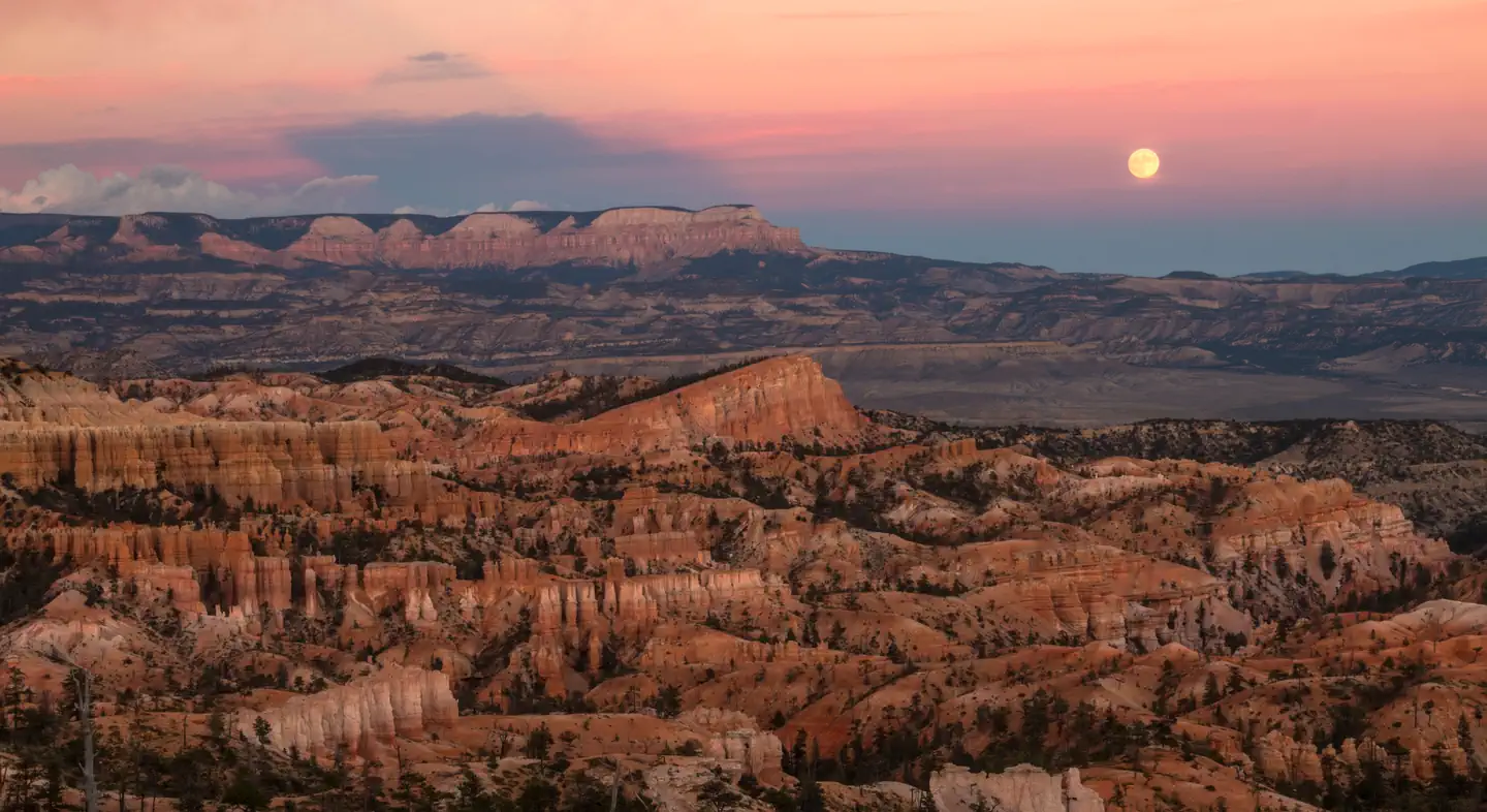
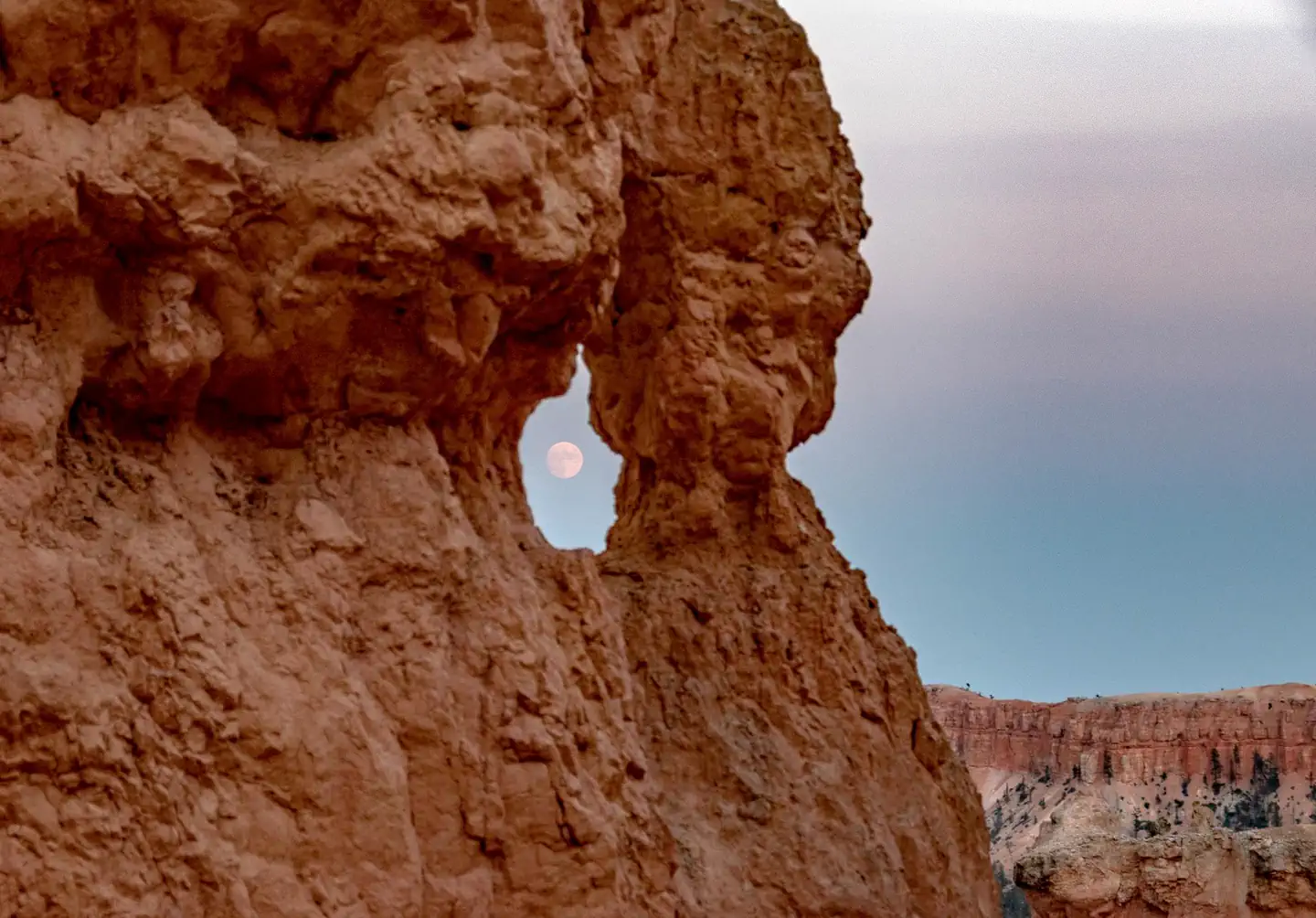
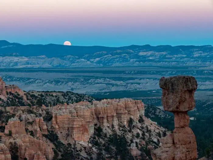
Experience Bryce Canyon after dark by joining a park ranger for a guided moonlight hike. Hoodoos take on spooky personalities when the mix of shadows and moonlight. Moonlight hikes are offered once a month on a day surrounding the full moon and are typically 1-2 miles long.
The hike can range from an easy hike along the rim of the plateau to a more strenuous hike that descends into the canyon along steep and rocky trails. More information will be given the day of the event.
2024 Moonlight Hike Schedule
Saturday, February 24 at 6:00 pm
Monday, March 25 at 8:00 pm
Tuesday, April 23 at 8:00 pm
Wednesday, May 22 at 8:00 pm
Thursday, June 20 at 8:00 pm
Saturday, July 20 at 8:00 pm
Monday, August 19 at 8:00 pm
Tuesday, September 17 at 7:00 pm
Wednesday, October 16 at 6:00 pm
Saturday, November 16 at 5:00 pm
Sunday, December 15 at 5:00 pm
Getting there
Physical Address:
Bryce Canyon National Park
UT-63
Bryce, Utah 84764
Official GPS Coordinates at the Visitor Center:
Latitude: N 37° 38' 24" / Longitude: W 112° 10' 12"
Latitude: 37.6 / Longitude: -112.1
Elevation: 7,894 feet/2,406 meters
Car/Motorcycle/Bus:
From the North:
Take I-15 south to UT-20 (exit 95). Travel east on UT-20 to US-89. Follow US-89 south to UT-12. Travel east on UT-12 to UT-63. Take UT-63 south to Bryce Canyon National Park. The visitor center sits 1 mile inside the park boundary.
From the South through Zion National Park:
Take I-15 north to UT-9 (exit 16). Follow UT-9 east through Zion National Park to US-89. Travel north on US-89 to UT-12. Go east on UT-12 to UT-63. Take UT-63 south to Bryce Canyon National Park. The visitor center sits 1 mile inside the park boundary.
Take I-15 north to exit 59. Go east on 200 north, then south on Main Street to Center Street/UT-14. Travel east on UT-14 to US-89. Go north on US-89 to UT-12. Follow UT-12 east to UT-63. Take UT-63 south to Bryce Canyon National Park. The visitor center sits 1 mile inside the park boundary. This is a very scenic route during the summer months and early fall.
From the South through Bear (Dog) Valley:
Take I-15 north to UT-20 (exit 95). Go east on UT-20 to US-89. Follow US-89 south to UT-12. Travel east on UT-12 to UT-63. Take UT-63 south to Bryce Canyon National Park. The visitor center sits 1 mile inside the park boundary.
Public transportation to the park is not available.
37.62821, -112.16715 · 37°37'41.5"N 112°10'1.7"W
Typical weather
Typically 80°F in Jul, down to 37°F in Dec.
| Jan | Feb | Mar | Apr | May | Jun | Jul | Aug | Sep | Oct | Nov | Dec | |
|---|---|---|---|---|---|---|---|---|---|---|---|---|
| High °F | 37 | 39 | 46 | 54 | 63 | 75 | 80 | 78 | 70 | 58 | 46 | 37 |
| Low °F | 17 | 18 | 23 | 29 | 37 | 45 | 52 | 50 | 42 | 32 | 23 | 17 |
| Precip in | 1.9 | 1.7 | 1.3 | 0.8 | 0.9 | 0.5 | 1.6 | 1.9 | 1.8 | 1.7 | 1.3 | 1.3 |
1991–2020 averages from the nearest NOAA station, 0.9 mi away — not measured at the facility itself, and elevation can make a real difference over that distance.
Map
More photos
Member photos
Common questions about Bryce Canyon National Park Full Moon Hike Tours
- Can you reserve a site at Bryce Canyon National Park Full Moon Hike Tours?
- Yes, Bryce Canyon National Park Full Moon Hike Tours is reservable through Recreation.gov.
Camping near Bryce Canyon National Park Full Moon Hike Tours
- North Campground (UT) 0.4 mi · Campground · we watch it
- Sunset Campground (UT) 0.4 mi · Campground · we watch it
- Bryce Canyon National Park Private Horse Reservations 0.8 mi · Tickets · we watch it
- Kings Creek 5.3 mi · Campground · we watch it
- Podunk Guard Station 12.1 mi · Campground · we watch it
- North Campground 0.7 mi · Campground
- Bryce Canyon Visitor Center 0.9 mi · Facility
- Cannonville Visitor Center 7.5 mi · Facility
- Powell Ranger District 8 mi · Facility
- Red Canyon Campground 10.3 mi · Campground
- Red Canyon Recreation Area 11.1 mi · Facility
- Pine Lake Recreation Area 14.2 mi · Campground
Contact
- Phone 435-834-5322
- Email brca_information@nps.gov
- Book Recreation.gov
Recreation.gov last updated this record on 2026-02-25.
Facility information and photographs from Recreation.gov (RIDB). SpotOpened is not affiliated with Recreation.gov or any federal agency.
Comments