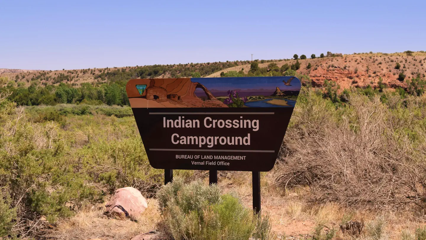
Indian Crossing Campground
Campground · Utah · 21 bookable sites ·
Managed by the Bureau of Land Management
Upper Green River (Suitable - Scenic) · Open Access
- 21
- Bookable sites
- up to 30
- People per site
- 5,485 ft
- Elevation
Overview
This Campground is on a First Come - First Serve Basis, vistors are required to physically be at the campground to purchase and claim a site. You must also occupy the area the day you pay for it, no advance payments. We encourage our visitors to download the recreation.gov app to take advantage of the Scan & Pay Option. There is also an Iron Ranger on site that you can pay with cash or check.
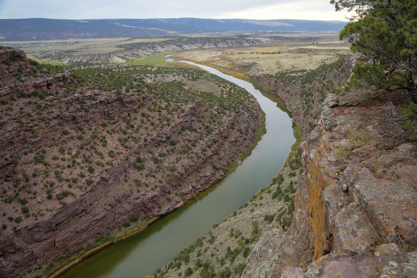
Whether your ideal trip is floating a raft to a remote campsite along the Green River or camping at a developed site, you'll find it in the high desert valley of Browns Park. Indian Crossing campground is nestled along the the Green River adjacent to the day-use area of the historic John Jarvie Ranch. If you're a fisherman, you won't want to miss the blue ribbon fishing along the Green River from the Flaming Gorge Dam down to the Colorado State line.
Several launch points for floating the Green River are also available. If you're a fisherman, you won't want to miss the blue ribbon fishing along the Green River from the Flaming Gorge Dam down to the Colorado State line.
Recreation
River Activities — The Green River can fluctuate daily from 830 to 4500 cubic feet per second or higher, depending on the time of year. Life jackets are required on the river.
Permits are required for commercial float boating only. No permits are required for personal use from the Flaming Gorge Dam to the Dinosaur National Monument at Ladore Canyon in Colorado.
State of Utah Boating Law requires all boaters to wear life vests. Current streamflow conditions are available on the U.S Geological Survey website.
Fishing — Fishing is limited to artificial bait only. All fish between 13 and 20 inches must be released. You may keep two fish under 13 inches and one fish over 20 inches.
Camping/Picnicking — Indian Crossing and Bridge Hollow developed (fee) campgrounds, adjacent to the Jarvie site, offer drinking water, restrooms, picnic tables and fire rings. Day-use facilities at the Jarvie site include picnic tables, fire rings, drinking water and rest rooms. Pets must be on a leash at the site.
Tours — Call to schedule a guided tour of the Jarvie property.
Contact
•BLM Vernal Field Office: 170 S. 500 E. Vernal, Utah 84078 435.781.4400
Facilities
20 individual campsites and one group campsite include picnic tables, fire rings, parking areas, and toilets.
Campsites are first-come first-served.
Nearby Attractions
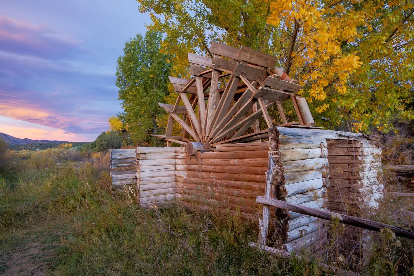
Experience the 1880s when the west was wild and this historic site was settled by Scotsman John Jarvie. Amenities include flushing toilets, picnic tables, and interpreted historic buildings and artifacts.
Browns Park National Wildlife Refuge
Browns Park National Wildlife Refuge is located along the Green River in northwest Colorado. Situated between the Cold Springs and Diamond Mountains, this remote river valley has long been an oasis to both wildlife and humans seeking shelter from the surrounding harsh, semi-arid environment.
Flaming Gorge National Recreation Area
The Flaming Gorge NRA is located in the northeast corner of Utah and the southwest corner of Wyoming. It is South of I-80, between Green River and Rock Springs, Wyoming and extends into the Uintah Mountains towards Vernal, Utah. The area is a mixture of climate, topography, and recreation opportunities well suited to a variety of summer and winter interests.
The facts
- 21 bookable sites
- 22 sites in total, including non-bookable
- Up to 30 people per site
- Loops: Host, One
Site types
- 13 Standard Nonelectric
- 7 Shelter Nonelectric
- 1 Group Standard Nonelectric
- 1 Management
Amenities
- Electric hookups
- Water hookups
- Fire pits
- Picnic tables
- Shade
- Pets allowed
Not recorded upstream: sewer hookups, campfires allowed, grills.
22 campsites at Indian Crossing Campground
| Site | Loop | Type | Entry | Surface | Grade | Max rig | People | |
|---|---|---|---|---|---|---|---|---|
| Host | Host | Management | Back In | Gravel | Slight | — | — | 🐾 |
| 1 | One | Standard Nonelectric | — | Gravel | Slight | — | 8 | 🐾 |
| 10 | One | Standard Nonelectric | — | Gravel | Slight | — | 8 | 🐾 |
| 11 | One | Standard Nonelectric | — | Gravel | Slight | — | 8 | 🐾 |
| 12 | One | Standard Nonelectric | — | Gravel | Slight | — | 8 | 🐾 |
| 13 | One | Shelter Nonelectric | — | Gravel | Slight | — | 8 | 🐾 |
| 14 | One | Standard Nonelectric | — | Gravel | Slight | — | 8 | 🐾 |
| 15 | One | Standard Nonelectric | — | Gravel | Slight | — | 8 | 🐾 |
| 16 | One | Standard Nonelectric | — | Gravel | Slight | — | 8 | 🐾 |
| 17 | One | Standard Nonelectric | Pull Through | Gravel | Slight | — | 8 | 🐾 |
| 18 | One | Shelter Nonelectric | — | Gravel | Slight | — | 8 | 🐾 |
| 19 | One | Shelter Nonelectric | — | Gravel | Slight | — | 8 | 🐾 |
| 2 | One | Shelter Nonelectric | — | Gravel | Slight | — | 8 | 🐾 |
| 20 | One | Standard Nonelectric | — | Gravel | Slight | — | 8 | 🐾 |
| 21 | One | Standard Nonelectric | — | Gravel | Slight | — | 8 | 🐾 |
| 3 | One | Shelter Nonelectric | — | Gravel | Slight | — | 8 | 🐾 |
| 4 | One | Standard Nonelectric | — | Gravel | Slight | — | 8 | 🐾 |
| 5 | One | Shelter Nonelectric | — | Gravel | Slight | — | 8 | 🐾 |
| 6 | One | Standard Nonelectric | — | Gravel | Slight | — | 8 | 🐾 |
| 7 | One | Standard Nonelectric | — | Gravel | Slight | — | 8 | 🐾 |
| 8, Group Site | One | Group Standard Nonelectric | — | Gravel | Slight | — | 30 | 🐾 |
| 9 | One | Shelter Nonelectric | — | Gravel | Slight | — | 8 | 🐾 |
Getting there
Address: Browns Park Rd, Dutch John, UT 84023
From Vernal, UT (via Clay Basin)
North 55 miles on Highway 191 (just over Wyoming border)
East 22 miles on gravel/paved road, including 2 miles at a 17% grade
Follow Jarvie Ranch/Browns Park signs
From Vernal, UT (via Crouse Canyon)
**Not recommended for RV travel. Extremely narrow road.
North on Vernal Ave to 500 N
East 25 miles to Diamond Mtn and Browns Park turnoff
North 16 miles on a dirt road to Browns Park
Follow Jarvie Ranch/Browns Park signs
From Maybell, CO
East on Highway 318 - 70 miles of paved and 8 miles of gravel road
Follow Jarvie Ranch/Browns Park signs
40.89883, -109.18337 · 40°53'55.8"N 109°11'0.1"W
Typical weather
Typically 91°F in Jul, down to 40°F in Dec.
| Jan | Feb | Mar | Apr | May | Jun | Jul | Aug | Sep | Oct | Nov | Dec | |
|---|---|---|---|---|---|---|---|---|---|---|---|---|
| High °F | 40 | 44 | 55 | 62 | 72 | 83 | 91 | 88 | 79 | 65 | 50 | 40 |
| Low °F | 13 | 18 | 25 | 31 | 39 | 47 | 54 | 51 | 43 | 32 | 22 | 13 |
| Precip in | 0.6 | 0.5 | 0.5 | 1.0 | 1.6 | 0.8 | 0.7 | 1.1 | 1.1 | 1.3 | 0.6 | 0.5 |
1991–2020 averages from the nearest NOAA station, 0.2 mi away — not measured at the facility itself, and elevation can make a real difference over that distance.
Map
More photos
Member photos
Common questions about Indian Crossing Campground
- Can you reserve a site at Indian Crossing Campground?
- Yes, Indian Crossing Campground is reservable through Recreation.gov.
- How many campsites does Indian Crossing Campground have?
- 22 sites in total, of which 21 can be booked.
- Are pets allowed at Indian Crossing Campground?
- Yes, pets are allowed at Indian Crossing Campground.
- Does Indian Crossing Campground have hookups?
- Electric, Water.
Also listed by
Indian Crossing Campground also appears in other federal recreation data. Facts below are matched by name and location, not confirmed by Indian Crossing Campground's operator.
Bureau of Land Management — data as of Aug 24, 2026
- Where the Green River enters the remote valley of Browns Park, this campground can be found. 20 individual campsites and one group campsite include picnic tables, fire rings, parking areas, and toilets.
Camping near Indian Crossing Campground
- Bridge Hollow Campground 0.7 mi · Campground · we watch it
- Green River Float-in Campsites 6.9 mi · Campground · we watch it
- Dripping Springs Campground (Ut) 9.2 mi · Campground · we watch it
- Arch Dam Campground 11.9 mi · Campground · we watch it
- Dutch John Draw Campground 12.8 mi · Campground · we watch it
- Mustang Ridge Campground 13.5 mi · Campground · we watch it
- Deer Run Campground 13.6 mi · Campground · we watch it
- Big Pine II River Camp 4.4 mi · Campground
- Dutch John Draw Group Campground 12 mi · Campground
- Overland School Interp Site 12 mi · Facility
- Flaming Gorge Dam Visitor Center 12.6 mi · Facility
- Red Creek Badlands WSA 13.9 mi · Facility
Contact
- Phone 435-781-4400
- Email blm_ut_vn_mail@blm.gov
- Book Recreation.gov
Recreation.gov last updated this record on 2026-03-11.
Facility information and photographs from Recreation.gov (RIDB). SpotOpened is not affiliated with Recreation.gov or any federal agency.
Comments