Butler Wash Interpretive Trail
Facility · Utah ·
Managed by the Bureau of Land Management
Bears Ears National Monument · Open Access
- 5,256 ft
- Elevation
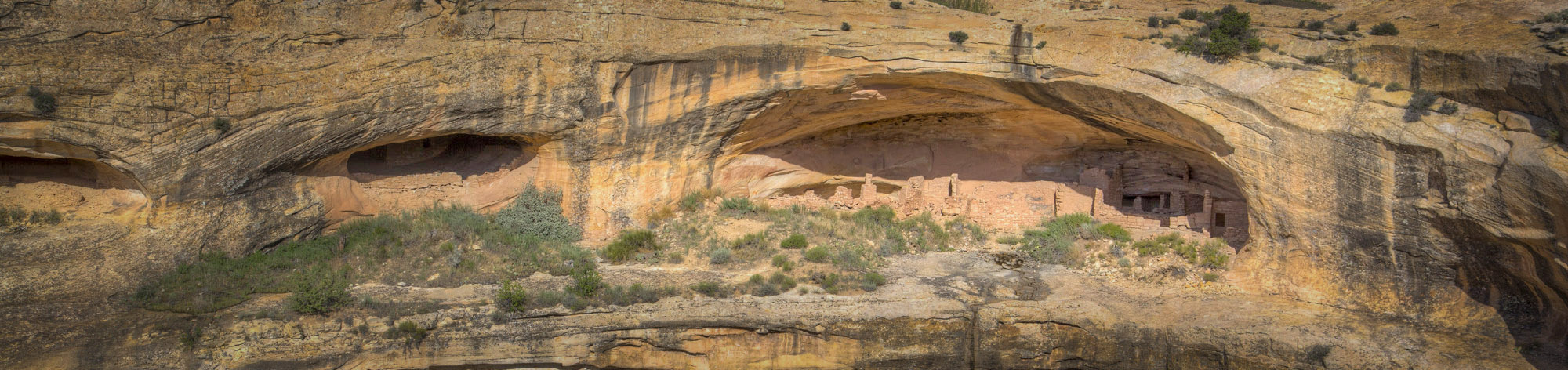
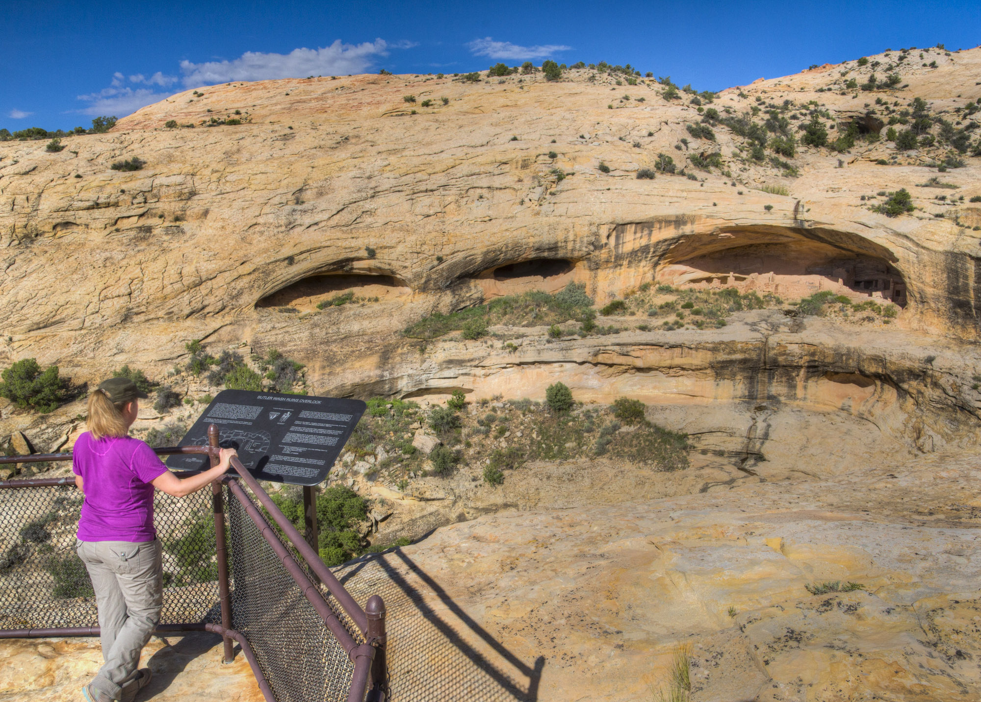
The Butler Wash Interpretive Trail is a short hike to a beautiful viewpoint where you can see ancestral Puebloan structures tucked into cliffside alcoves in the facing canyon wall. The hiking trail winds its way across some small washes and over slickrock before reaching the overlook. Round trip hiking distance is one mile and travel time is approximately an hour. It is an easy to moderate hike over uneven terrain. There is no water at this site, and desert temperatures can be extremely hot and dry. Plan ahead and be prepared. Bring appropriate clothing and water when visiting this site.
Getting there
The Butler Wash Interpretive Trail is located about 14 miles west of Blanding, UT and is well signed on State Route 95. The parking area is on the north side of the highway. The parking area is paved and pit toilet facilities are available.
37.52433, -109.63804 · 37°31'27.6"N 109°38'16.9"W
Typical weather
Typically 89°F in Jul, down to 40°F in Jan.
| Jan | Feb | Mar | Apr | May | Jun | Jul | Aug | Sep | Oct | Nov | Dec | |
|---|---|---|---|---|---|---|---|---|---|---|---|---|
| High °F | 40 | 45 | 55 | 62 | 73 | 84 | 89 | 86 | 78 | 65 | 51 | 40 |
| Low °F | 22 | 26 | 33 | 38 | 46 | 56 | 62 | 60 | 53 | 42 | 31 | 23 |
| Precip in | 1.6 | 1.3 | 1.0 | 0.8 | 0.8 | 0.3 | 1.1 | 1.2 | 1.3 | 1.4 | 0.9 | 1.3 |
1991–2020 averages from the nearest NOAA station, 10.4 mi away — not measured at the facility itself, and elevation can make a real difference over that distance.
Map
Fees and stay limits
No Fee
From Recreation.gov, which is not always current. The operator's own page is the authority on what you will be charged.
More photos
Member photos
Common questions about Butler Wash Interpretive Trail
- Can you reserve a site at Butler Wash Interpretive Trail?
- No. Butler Wash Interpretive Trail is not reservable through Recreation.gov, so sites are first-come, first-served or booked elsewhere.
Camping near Butler Wash Interpretive Trail
- Sand Island Group Sites 18.1 mi · Campground · we watch it
- Sand Island Recreation Area 18.2 mi · Campground · we watch it
- Nizhoni 18.6 mi · Campground · we watch it
- Devils Canyon 19.2 mi · Campground · we watch it
- Natural Bridges Campground 19.8 mi · Campground · we watch it
- Buckboard 26.7 mi · Campground · we watch it
- Mule Canyon Interpretive Site 5.9 mi · Facility
- Kane Gulch Ranger Station 14.1 mi · Facility
- Natural Bridges Visitor Center 19.5 mi · Facility
- Valley of the Gods 24.1 mi · Facility
- Dark Canyon Wilderness Recreation Area 25.8 mi · Facility
- Dalton Springs Campground 26.6 mi · Campground
Contact
- Phone 435-587-1510
- Info Recreation.gov
Recreation.gov last updated this record on 2026-02-25.
Facility information and photographs from Recreation.gov (RIDB). SpotOpened is not affiliated with Recreation.gov or any federal agency.
Comments