Take Out Boat Ramp
Facility · Utah ·
Managed by the Bureau of Land Management
Colorado River (Suitable - Recreational) · Open Access
- 4,013 ft
- Elevation
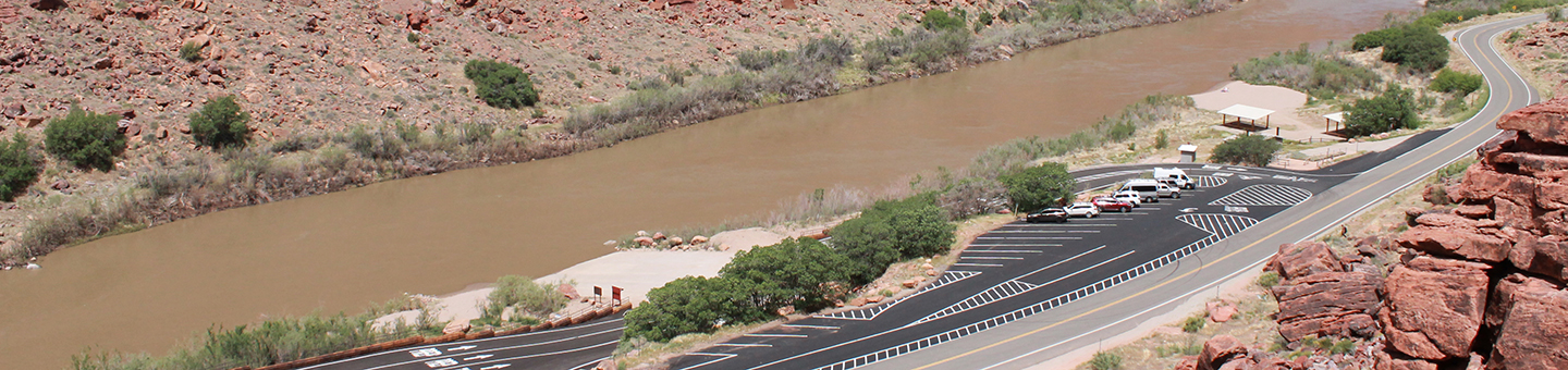
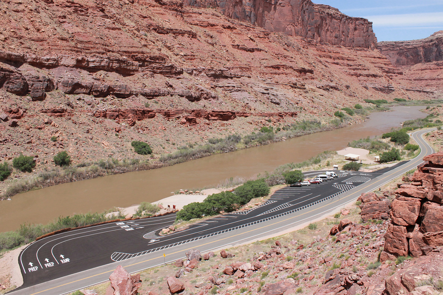
Take Out Boat Ramp is the primary exit point or take out ramp used by boaters who are floating the "Colorado River Daily". It can also be used as a launch point for a more mellow "flatwater" stretch of river. The site consists of parking, paved boat ramp and restroom facilities.
Getting there
Located on Utah Highway 128 about 12 miles from U.S. Highway 191. The boat ramp is on the river side of the highway.
38.66248, -109.49988 · 38°39'44.9"N 109°29'59.6"W
Typical weather
Typically 96°F in Jul, down to 41°F in Jan.
| Jan | Feb | Mar | Apr | May | Jun | Jul | Aug | Sep | Oct | Nov | Dec | |
|---|---|---|---|---|---|---|---|---|---|---|---|---|
| High °F | 41 | 49 | 60 | 67 | 78 | 90 | 96 | 93 | 84 | 71 | 55 | 42 |
| Low °F | 20 | 26 | 34 | 40 | 50 | 60 | 65 | 63 | 55 | 41 | 30 | 21 |
| Precip in | 0.8 | 0.7 | 0.9 | 1.0 | 0.8 | 0.4 | 0.8 | 0.8 | 0.9 | 1.3 | 0.7 | 0.8 |
1991–2020 averages from the nearest NOAA station, 5.5 mi away — not measured at the facility itself, and elevation can make a real difference over that distance.
Map
More photos
Member photos
Common questions about Take Out Boat Ramp
- Can you reserve a site at Take Out Boat Ramp?
- No. Take Out Boat Ramp is not reservable through Recreation.gov, so sites are first-come, first-served or booked elsewhere.
Camping near Take Out Boat Ramp
- Big Bend Group Sites 1.4 mi · Campground · we watch it
- Goose Island Group Sites 4.8 mi · Campground · we watch it
- Sand Flats Recreation Area Group Campsites 6.7 mi · Campground · we watch it
- Upper Big Bend Campground 1.1 mi · Campground
- Oak Grove Campground 1.8 mi · Campground
- Hal Canyon Campground 1.9 mi · Campground
- Grandstaff Campground 4.1 mi · Campground
- Grandstaff Canyon Trailhead 4.1 mi · Facility
- Goose Island Campground 4.8 mi · Campground
- Fins and Things Trailhead 5.6 mi · Facility
- Hell's Revenge Trailhead 6.1 mi · Facility
- Porcupine Rim Trailhead 7.2 mi · Facility
Contact
- Phone 435-259-2100
- Info Recreation.gov
Recreation.gov last updated this record on 2026-02-25.
Facility information and photographs from Recreation.gov (RIDB). SpotOpened is not affiliated with Recreation.gov or any federal agency.
Comments