Idaho campgrounds and permits
450 facilities, 205 of which we can watch for cancellations.
- #1071 Rice DrawFacility · not watchable
Rice Draw Trail #1071 traverses multiple closed roads as it climbs from the valley bottom near the town of Heron to a major ridgeline. The trail receives very…
- #1084 South Fork Pilgrim CreekFacility · not watchable
South Fork Pilgrim Creek Trail #1084 travels from the Pilgrim Creek valley bottom and ends at the head end of the South Fork of Pilgrim Creek drainage on FSR…
- #423 Grouse LakeFacility · not watchable
Trail Length: 1.3 miles This is a fine hike for almost anyone, the walk is enjoyable with only a few steep sections.
- #892 West Fork Canyon CreekFacility · not watchable
West Fork Canyon Creek Trail #892 follows an old road bed along Canyon Creek and then the West Fork of Canyon Creek. The trail passes an old mining claim then…
- #894 Roe GulchFacility · not watchable
Roe Gulch Trail #894 departs from the 20 Odd ATV Trail #896 at approximately the 2.5 mile mark. The trail climbs up to 20 Odd Peak (6048’). 20 Odd Peak Trail…
- #999 Historic Big EddyFacility · not watchable
Historic Big Eddy Trail #999 is a short but steep non-motorized trail that ends at Big Eddy Trail #998 approximately halfway up to Star Peak. The trail offers…
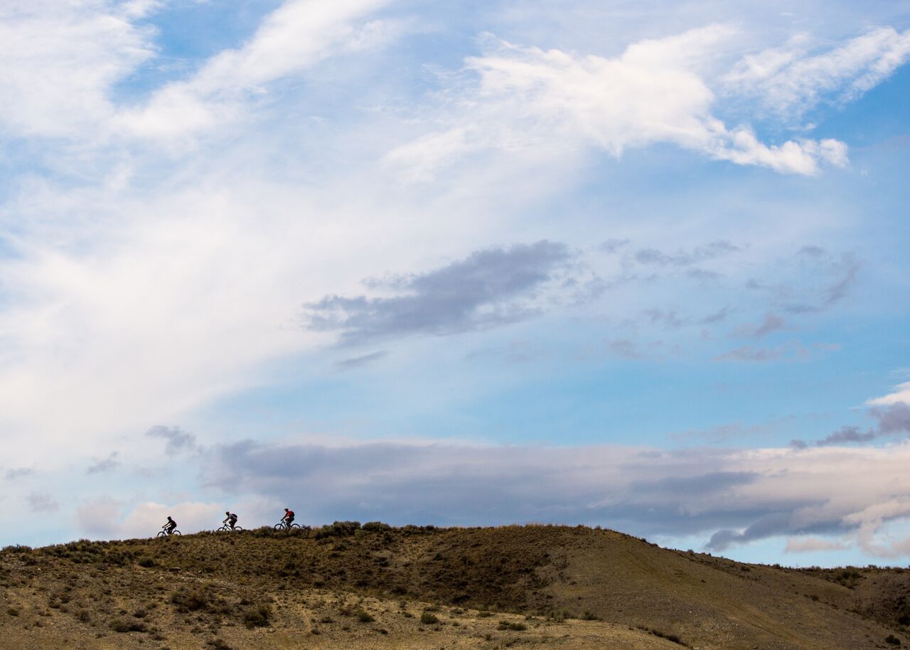 8th Street TrailheadFacility · not watchable
The 8th Street Trailhead provides visitors with trail access to a motorized trail (Trail #4 Motorcycle Trail), several non-motorized trails (#31 Corrals, #29…
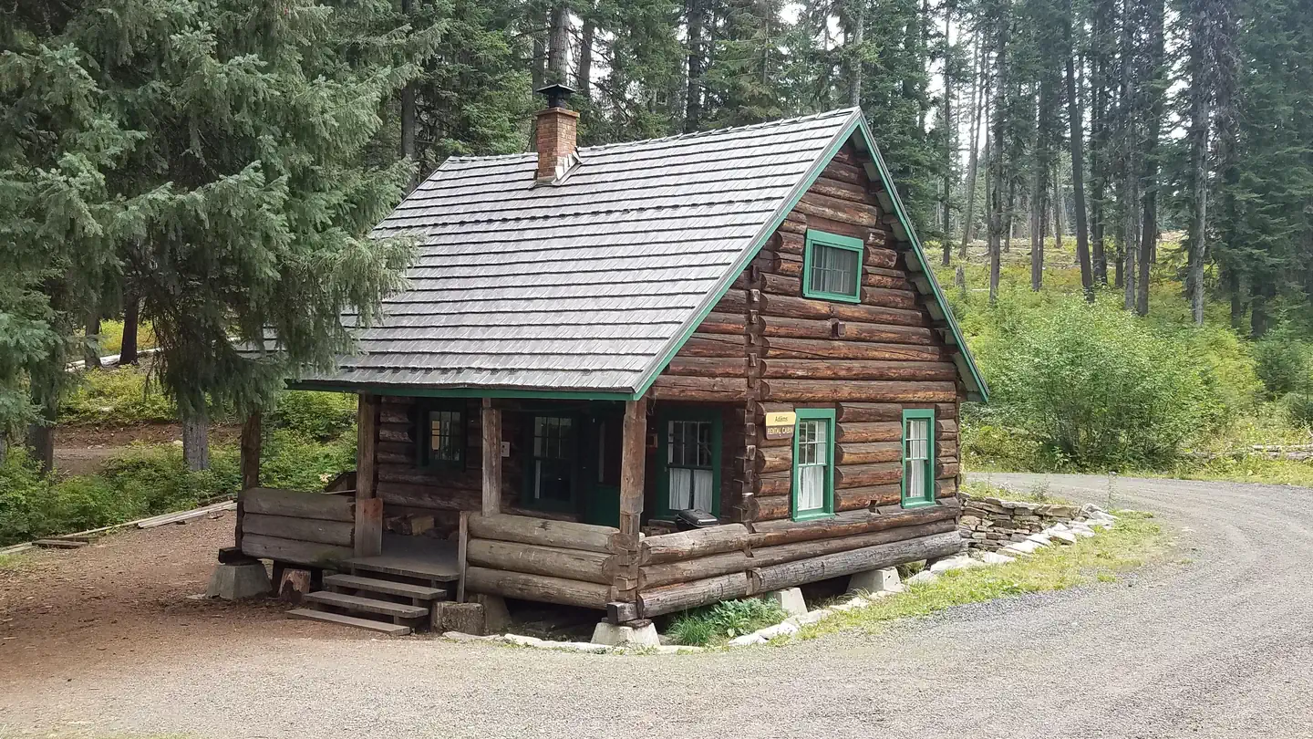 Adams Ranger StationCampground · 1 sites
Overview Adams Ranger Station Cabin is located in the heart of the Nez Perce National Forest at an elevation of 5,150 feet.
- Agency Creek CampgroundCampground · not watchable
Agency Creek Campground (4 campsites) is located along the Lewis and Clark National Backcountry Byway, near the Lewis and Clark National Historic Trail and the…
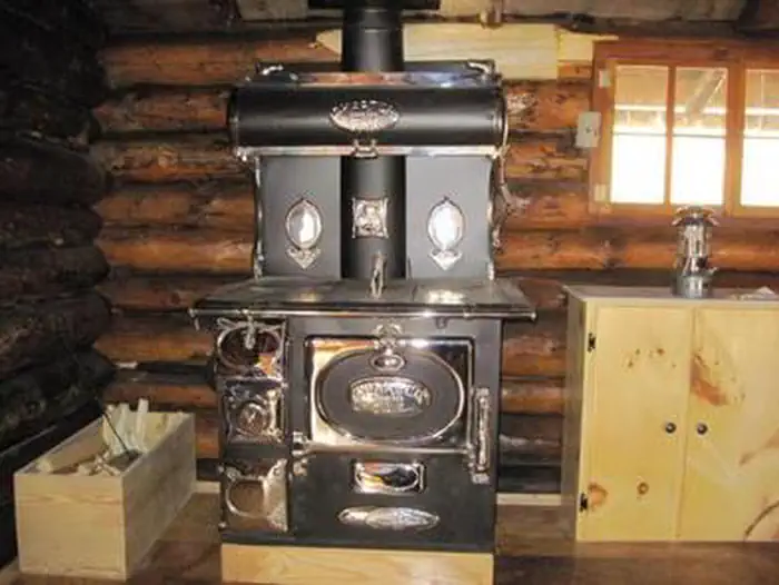 Al Taylor CabinCampground · 1 sites
Overview Al Taylor Cabin is located adjacent to Steel Creek near the Continental Divide, at an elevation of 6,300 feet.
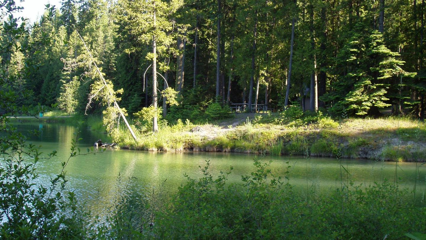 Albeni CoveCampground · 14 sites
Overview Albeni Cove is a small campground located just upstream from Albeni Falls Dam on the Pend Oreille.
 Albert MoserCampground · 9 sites
Overview Albert Moser Campground is situated on the banks of the Cub River about nine miles from Preston, Idaho.
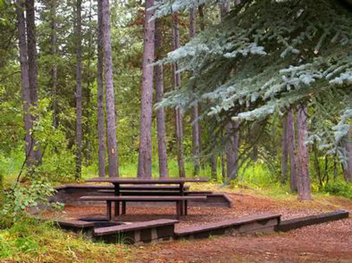 Alpine North LoopCampground · 19 sites
Overview Alpine North Loop Campground is located in beautiful Star Valley, Wyoming at an elevation of 5,640 feet. The cozy town of Alpine is just 2 miles west.
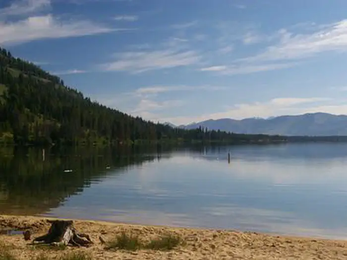 Alturas Lake InletCampground · 27 sites
Overview Alturas Lake Inlet Campground is located on the shores of scenic Alturas Lake at the foot of the Sawtooth Mountain Range.
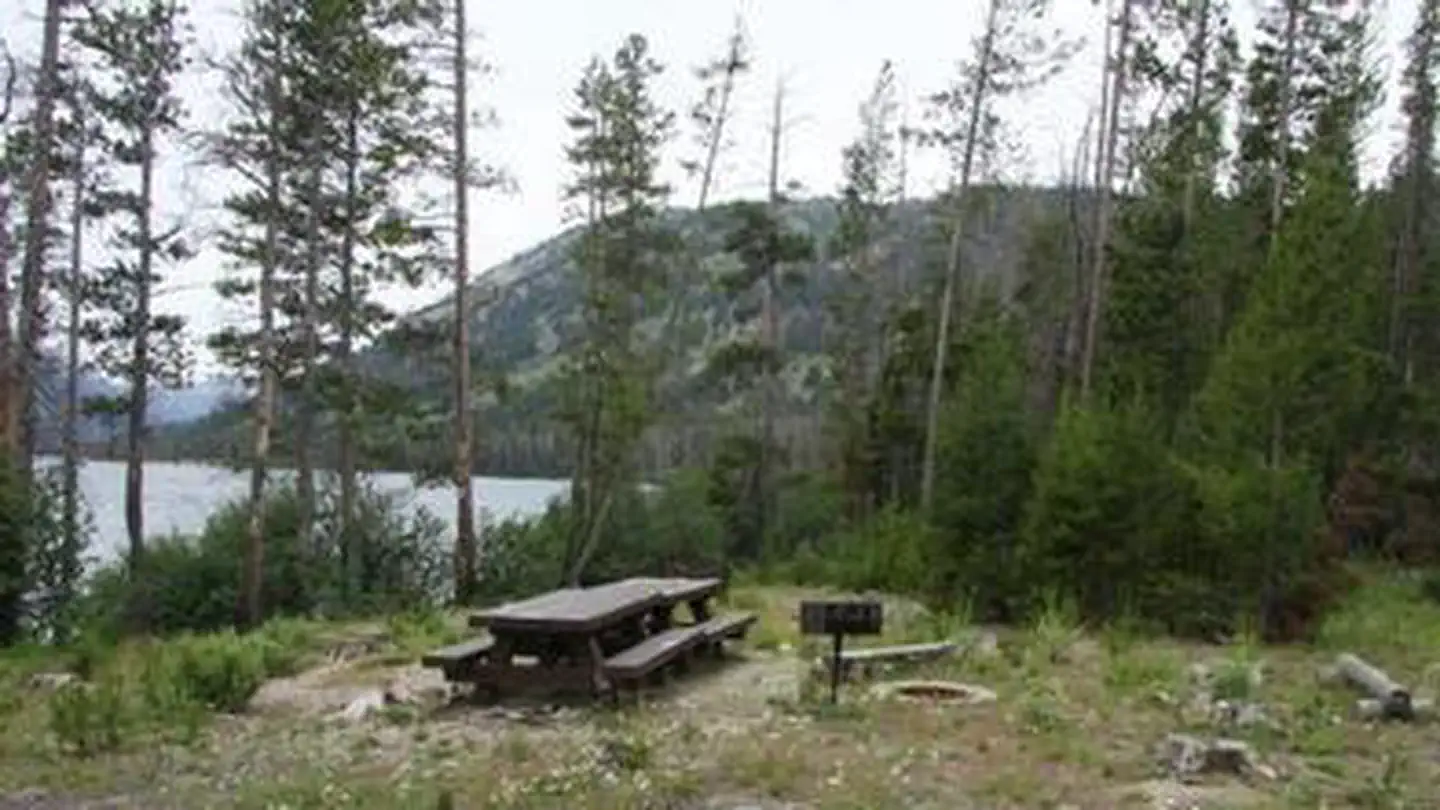 Alturas Lake Picnic Area (Id)Campground · 1 sites
Overview Alturas Area Picnic B is located along the sandy shoreline of scenic Alturas Lake, at the foot of the Sawtooth Mountain Range.
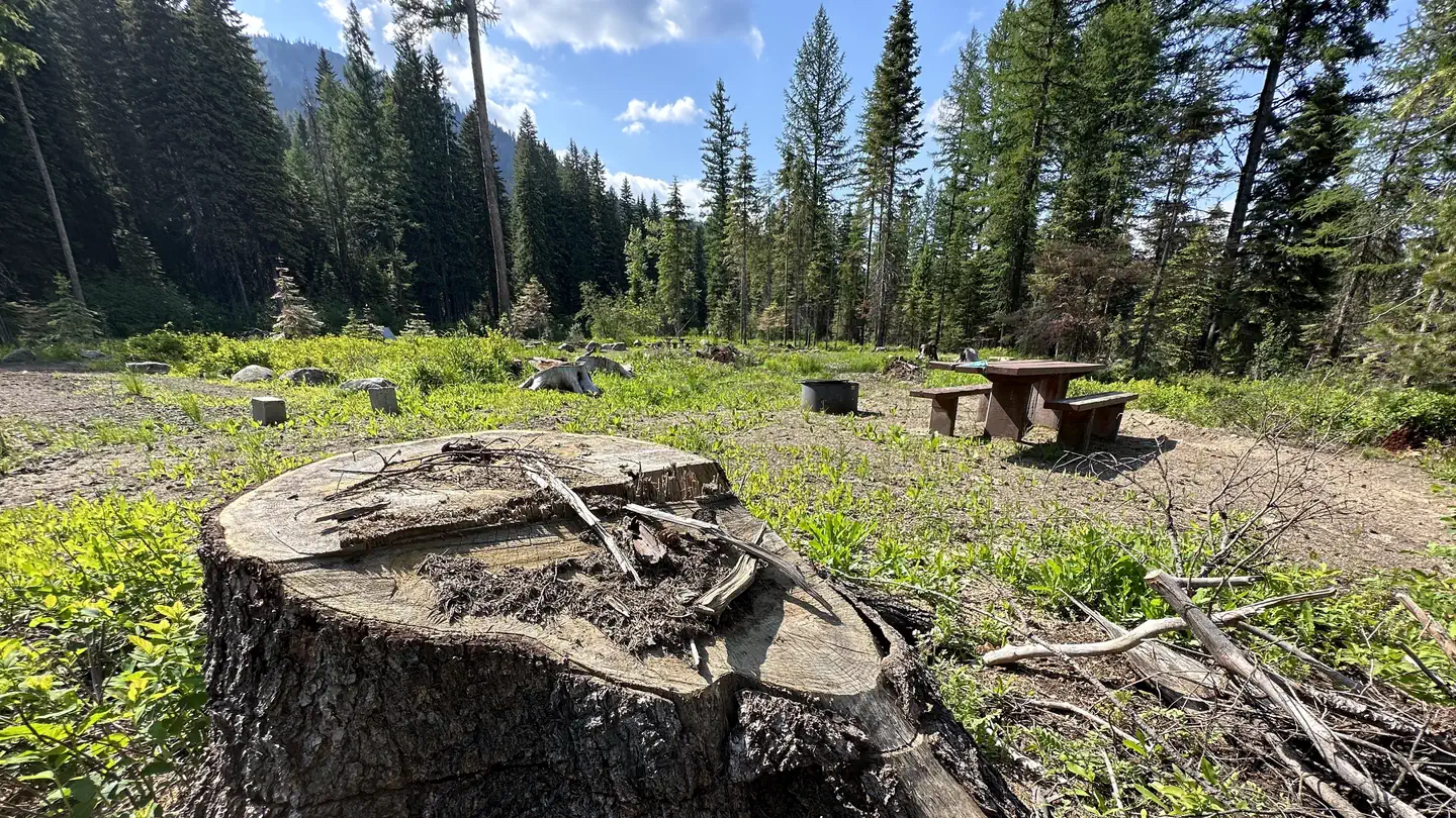 AmanitaCampground · 6 sites
Overview Amanita Campground is located next to scenic Lake Cascade in west-central Idaho. It is near the town of Donnelly, at an elevation of 4,850 feet.
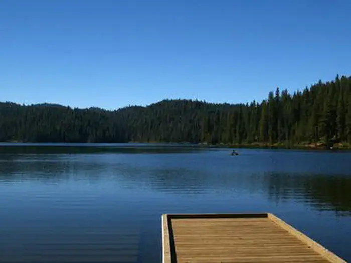 Antelope (Boise National Forest, ID)Campground · 14 sites
Overview Antelope Campground is located on the shores of the scenic Sagehen Reservoir in the Boise National Forest, perched at an elevation of 5031 feet.
- Apgar CampgroundCampground · not watchable
Located along the Lochsa River and accessed by U.S. Highway 12, Apgar lies between the highway and on a river terrace filled with giant western red cedar and…
- Aquarius Campground and Purple Beach Group SiteCampground · not watchable
Aquarius Campground boasts 9 developed sites and 2 group campsites (Purple Beach) on the bank of the scenic North Fork of the Clearwater River.
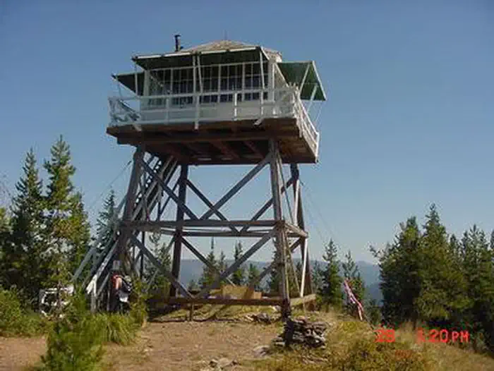 Arid Peak LookoutCampground · 1 sites
Overview Arid Peak Lookout was built in 1934 to help detect fires that may have been sparked by the Milwaukee Railroad Line.
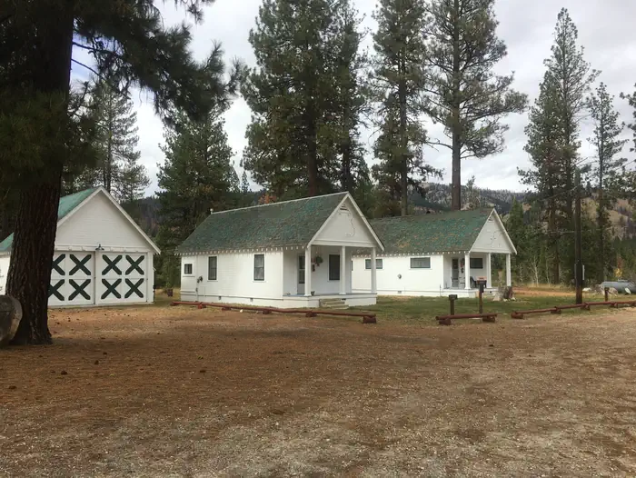 Atlanta CabinCampground · 1 sites
Overview Atlanta Cabin is located in the old mining town of Atlanta, Idaho, at an elevation of 5,800 feet.
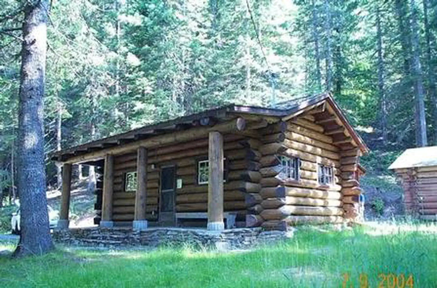 Avery Creek CabinCampground · 1 sites
Overview Avery Creek Cabin is located 20 miles northeast of Kingston, Idaho, along Forest Road 208.
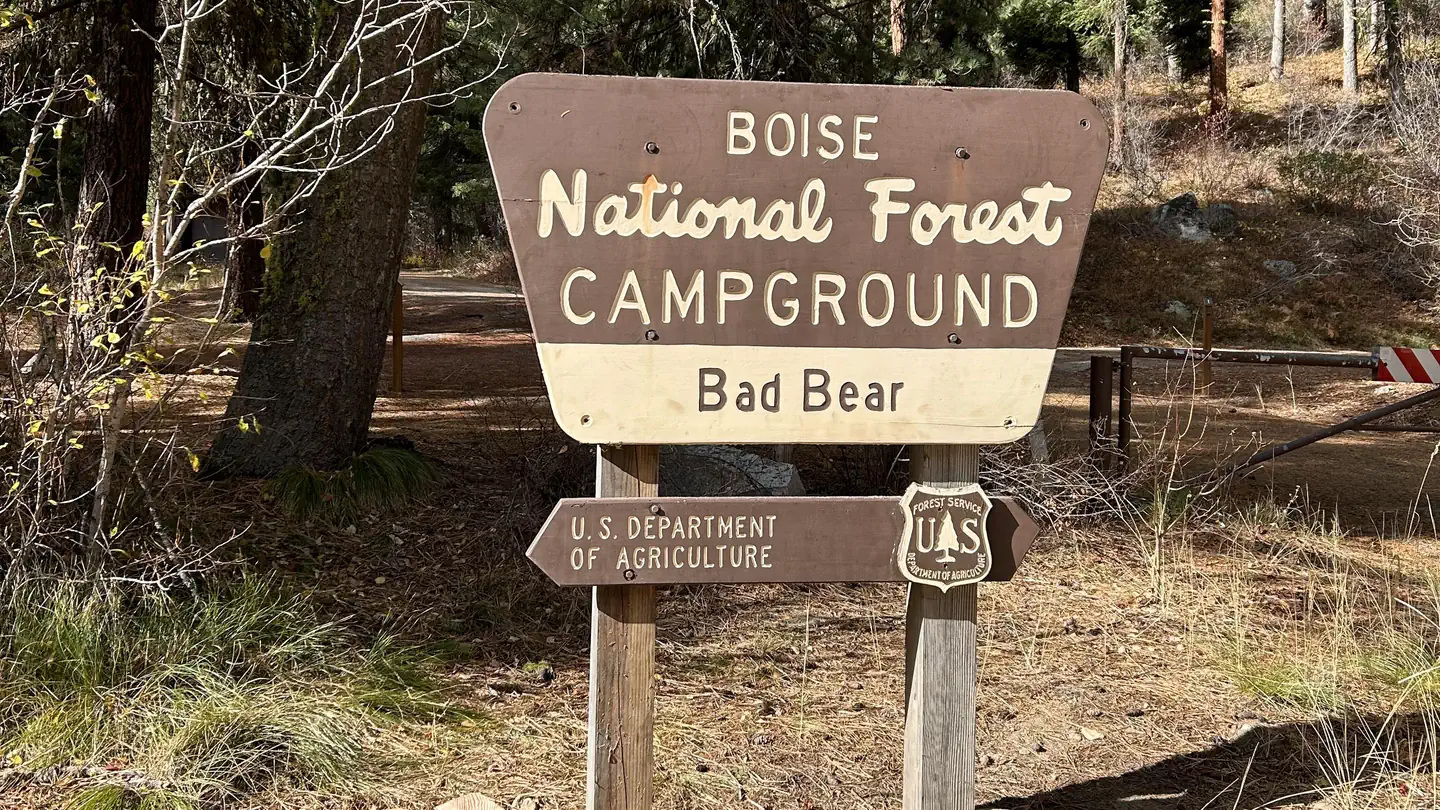 Bad Bear CampgroundCampground · 6 sites
Overview Bad Bear Campground is located 48 miles northeast of Boise, Idaho, in the scenic Boise National Forest on the Idaho City Ranger District, along…
- Bad Medicine CampgroundCampground · not watchable
The Bad Medicine Campground is located 25 miles south of Troy on Hwy 56, at the south end of Bull Lake.The campground has 18 sites including one host site,…
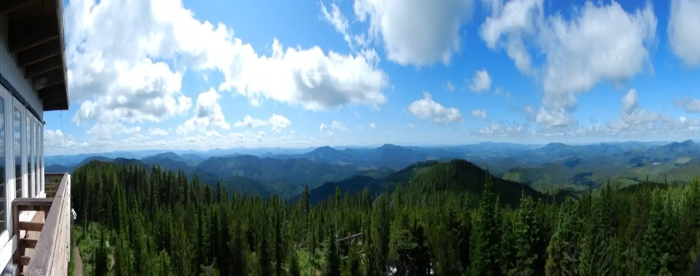 Bald Mountain Lookout (Nez Perce-Clearwater National Forests, ID)Campground · 1 sites
Overview Bald Mountain Lookout offers the opportunity to enjoy unforgettable views and participate in a variety of recreational opportunities.
- Banner Creek CampgroundCampground · not watchable
A nice campground along Highway 21 in the trees with a small creek running through.
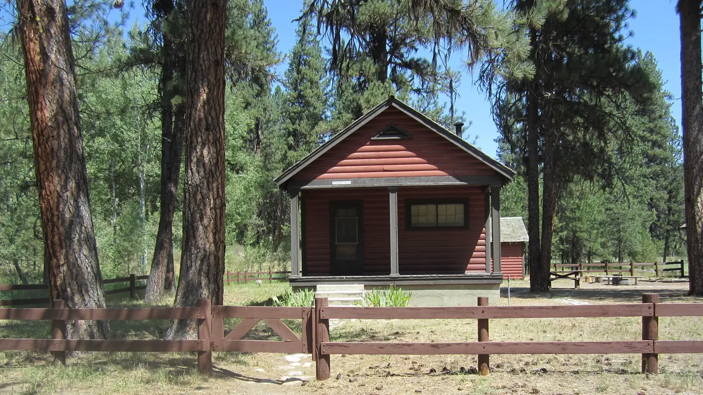 Barber Flat Cabin (Boise National Forest, ID)Campground · 1 sites
Overview The Barber Flat Cabin site was established for administrative use by the Forest Service in 1923, and was used prior to that by the Barber Lumber…
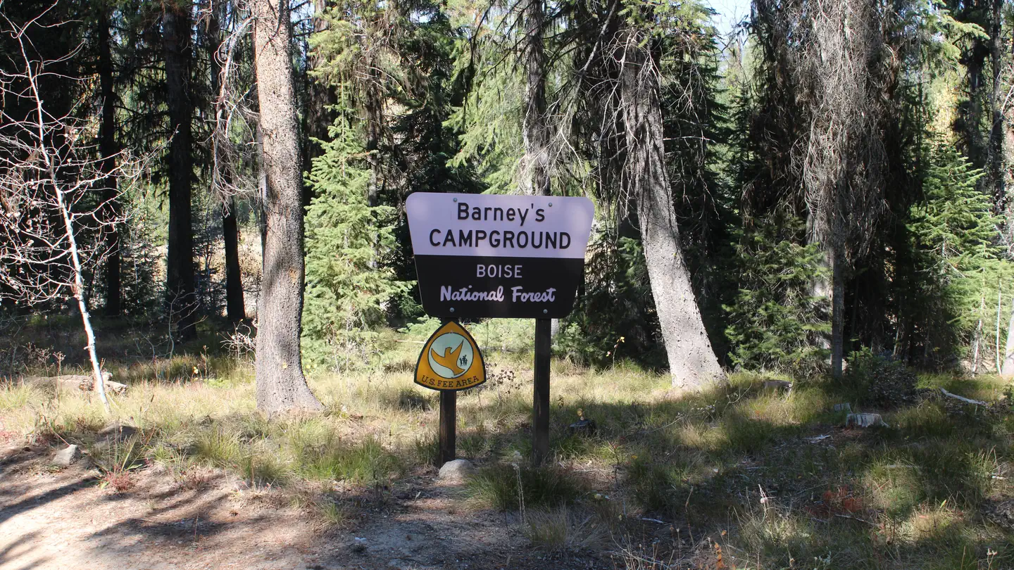 Barneys Campground (Boise National Forest, ID)Campground · 8 sites
Overview Barneys Campground is located on the northeast shore of scenic Deadwood Reservoir at an elevation of 5,300 feet.
- Barron Creek Boating SiteFacility · not watchable
The Barron Creek Boating Site is approximately 25 miles northeast of Libby on FDR road 228. This camping area has seven sites.
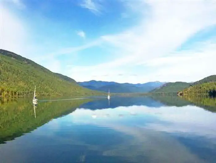 Bartoo Island Boat-in CampgroundCampground · 25 sites
Overview Surrounded by clear waters of Priest Lake, the 25 sites on Bartoo Island provide the ideal getaway for people looking for a rugged, but highly…
- Basin Creek Transfer Camp TrailheadFacility · not watchable
This trailhead has hitching rails and dispersed campsites. No toilet or drinking water is available. Lower Basin Trail #4349, begins at this point.
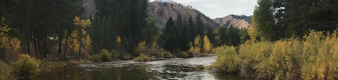 Baumgartner CampgroundCampground · 31 sites
Overview Baumgartner Campground is situated alongside the South Fork Boise River, 11 miles from Featherville, Idaho.
- Bayhorse Recreation SiteFacility · not watchable
Overview Tucked along the Salmon River at 5,400 feet in elevation, Bayhorse Campground offers a scenic and historic getaway just ten miles south of Challis on…
- Bear Creek TrailheadFacility · not watchable
This trailhead provides access to Bear Creek Trail #1653, Washboard Trail #1680, Stanley Ridge Trail #1677, and Dobbin Creek Trail #1654 within Eagle Cap…
- Bear Wallow TrailheadFacility · not watchable
This is a gravel road and can be rough after the spring thaw. There is a loading ramp and hitch rails.
- Beauty Bay Recreation AreaFacility · not watchable
This small, seven unit picnic area offers a pleasant highway rest stop near the edge of the forest.
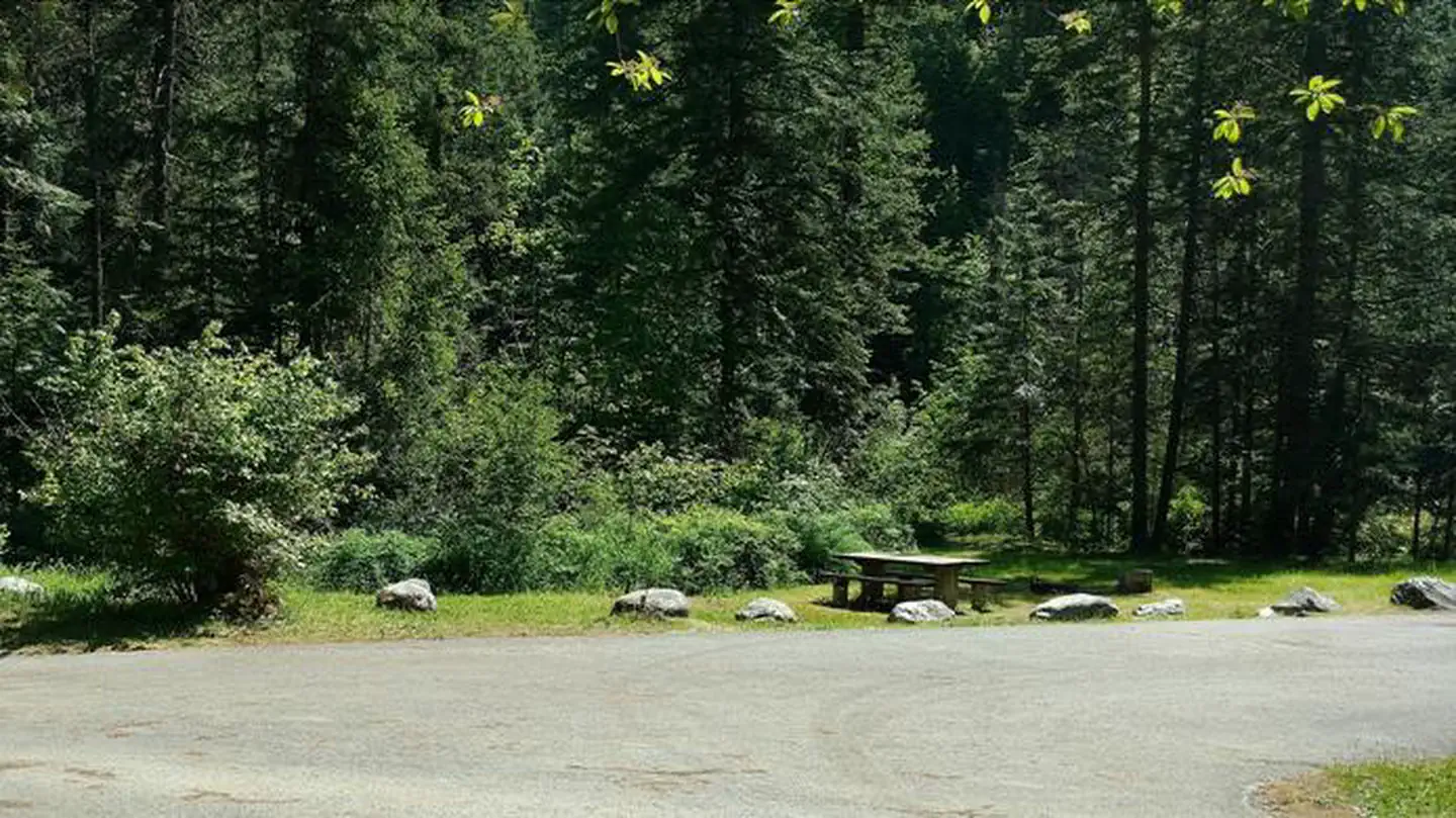 Beauty Creek CampgroundCampground · 18 sites
Overview Beauty Creek Campground is located a half mile from Lake Coeur d'Alene along the peaceful Beauty Creek.
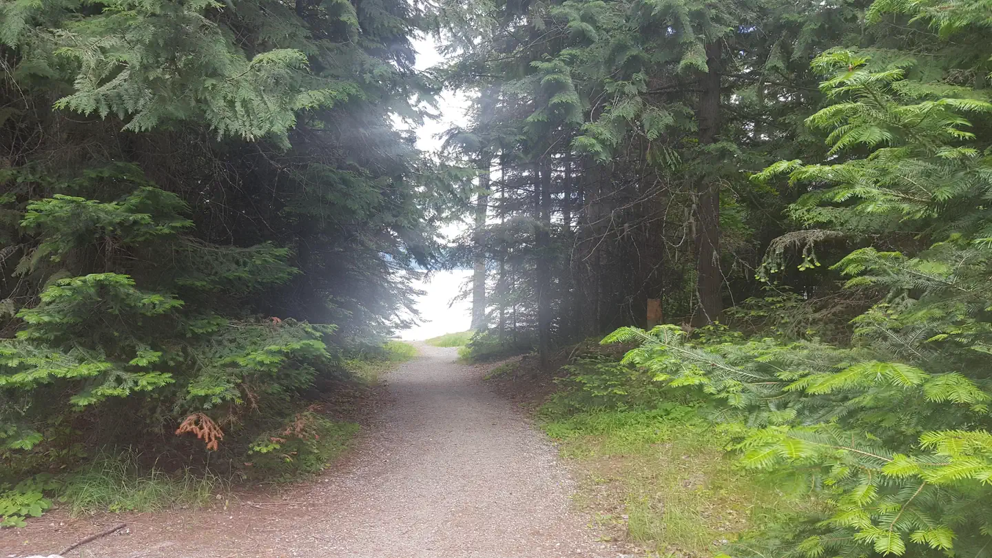 Beaver Creek (Idaho)Campground · 42 sites
Overview Beaver Creek Campground sits in the Idaho Panhandle National Forest, offering phenomenal views of the Selkirk Mountains across the reflective waters…
 Beaver Creek A-Frame Cabin (ID)Campground · 1 sites
Overview Beaver Creek A-Frame is located on the St. Joe Ranger District of the Idaho Panhandle National Forests in the heart of the Bitterroot Mountains.
 Beaver Creek Cabin (Id)Campground · 1 sites
Overview The Beaver Creek Cabin site was established for administrative use in 1912.
- Beaver Creek Transfer Camp TrailheadFacility · not watchable
Beaver Creek Trailhead provides access to Wilderness trails in the Cape Horn area.
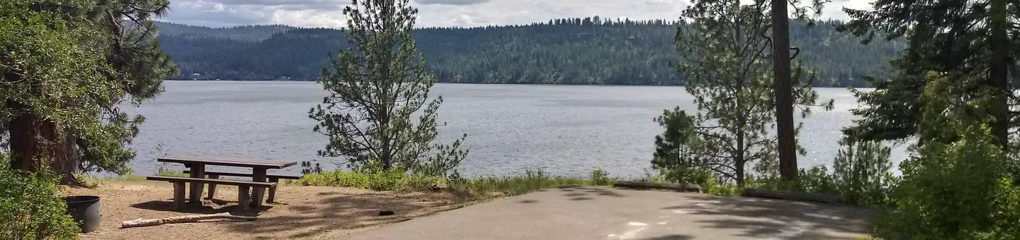 Bell Bay CampgroundCampground · 16 sites
Overview Bell Bay Campground is a prime place to set up camp on Coeur d'Alene Lake.
- Bender Creek TrailheadFacility · not watchable
Bender Creek Trailhead - is a signed site with a restroom, loading/unloading ramp for ATVs, registration box and visitor information.
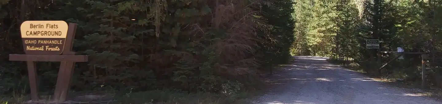 Berlin FlatsCampground · 1 sites
Overview Berlin Flats Group Area is located along Shoshone Creek, near the North Fork Coeur d'Alene River.
- Big Bayhorse Day Use SiteFacility · not watchable
A beautiful high mountain lake is the setting for this out of the way picnic area. Plenty of fishing in lake and streams. Good hiking and ATV trail access.
- Big Eddy CampgroundCampground · not watchable
The Big Eddy Campground is located approximately 6 miles of east of the Idaho border in Montana on Hwy 200.
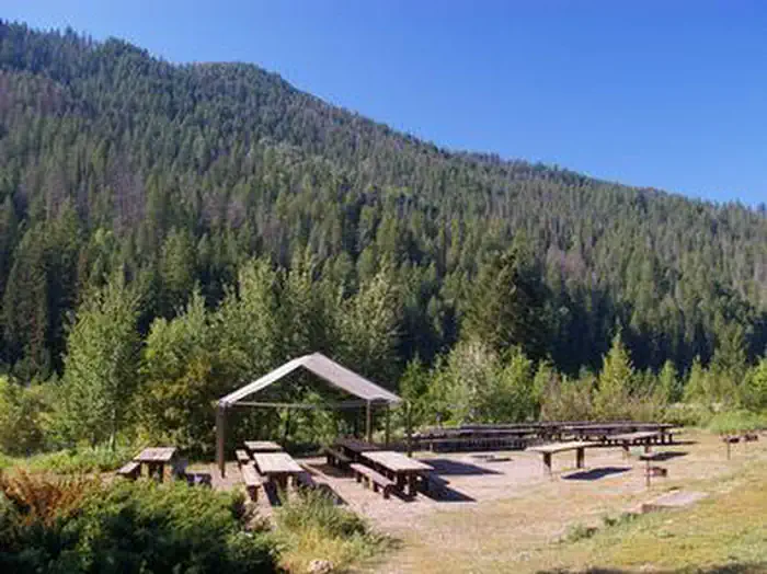 Big ElkCampground · 3 sites
Overview Big Elk Campground is situated along Big Elk Creek on a quiet arm of the beautiful Palisades Reservoir, just 55 miles east of Idaho Falls, Idaho.
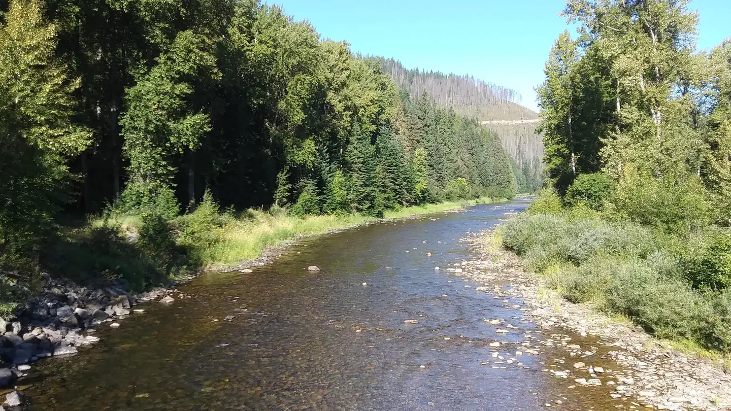 Big HankCampground · 30 sites
Overview Big Hank Campground is located along the North Fork of the Coeur d'Alene River in Idaho Panhandle National Forest.
- Big Lost River Access TrailFacility · not watchable
This 2.5 - 3 mile trail has been a community effort. Please respect the adjacent private property by staying on the trail and using non-motorized means to get…
- Big Roaring River Lake CampgroundCampground · not watchable
Overview: Set within the beautiful Trinity Recreation area, the Big Roaring River Lake Campground has12 campsites in a dense lodgepole forest on the river.
- Big Southern ButteFacility · not watchable
Big Southern Butte is one of two rhyolitic domes rising from a sea of basalt near the center of the eastern Snake River Plain (of the nearby Twin Buttes, East…
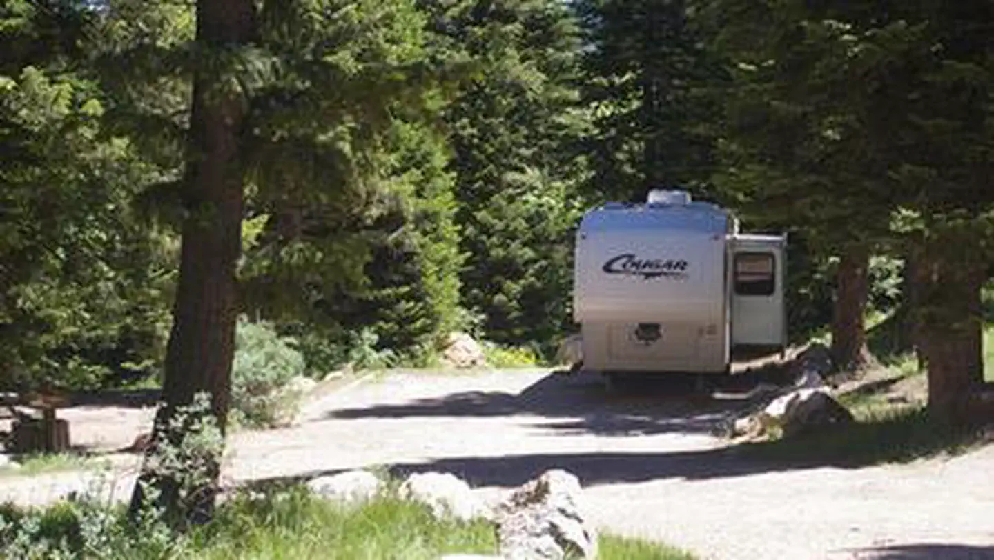 Big Springs - CaribouCampground · 16 sites
Overview Big Springs Campground is nestled along the banks of Pebble Creek at an elevation of 6,500 feet, just 16 miles from Lava Hot Springs, Idaho.
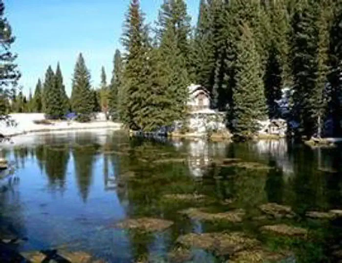 Big Springs GRP. Area - Island ParkCampground · 1 sites
Overview Big Springs Group Area is located 22 miles south of West Yellowstone, Montana in beautiful Island Park, Idaho at an approximate elevation of 6,300…
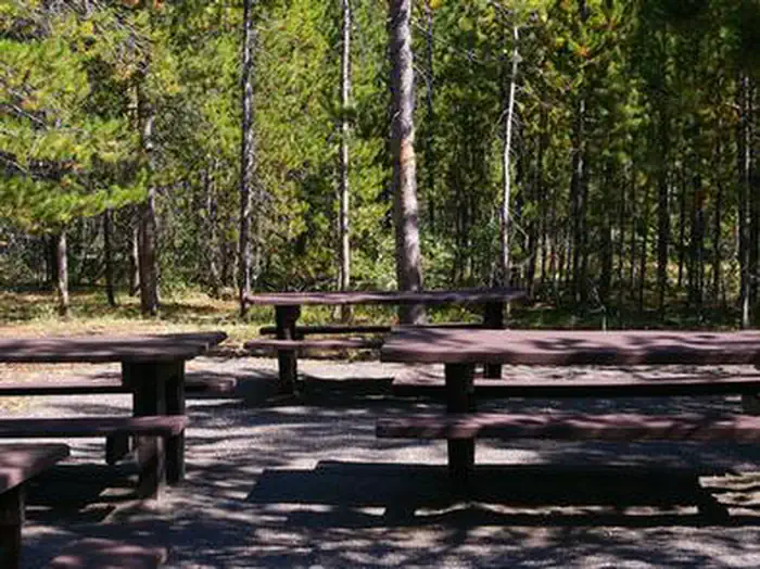 Big Springs Warming HutCampground · 1 sites
Overview Big Springs Warming Hut is located 22 miles south of West Yellowstone, Montana in beautiful Island Park, Idaho at an approximate elevation of 6,300…
- Big Therriault Lake CampgroundCampground · not watchable
The Big Therriault Lake campground is located 12.5 air miles from Fortine. The campground has 10 campsite, including one host site, with tables, fire rings and…
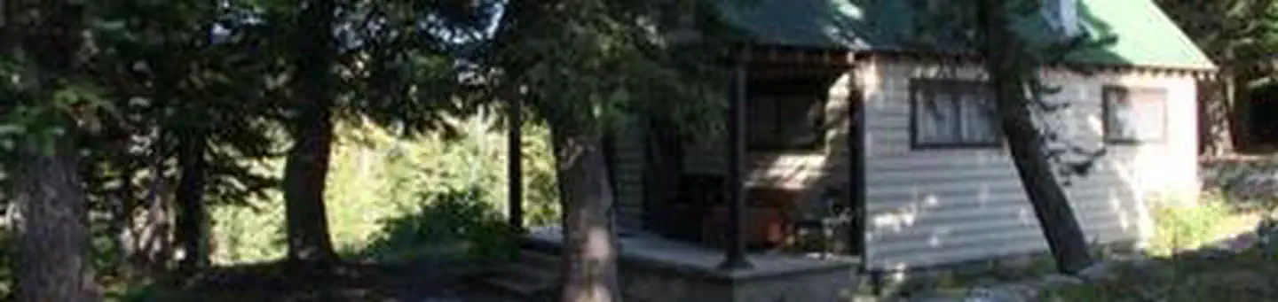 Big Trinity CabinCampground · 2 sites
Overview Big Trinity Cabin offers a quiet retreat in a beautiful high alpine landscape.
- Birch Creek CampgroundCampground · not watchable
***An intense precipitation event occurring in southeastern Idaho resulted in the flooding of the popular Birch Creek campground.
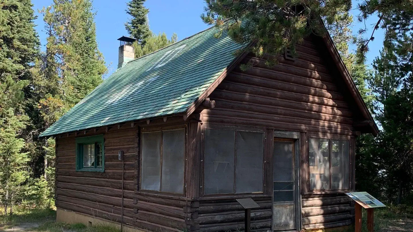 Bishop Mountain CabinCampground · 1 sites
Overview Bishop Mountain Cabin was built by the Civilian Conservation Corps in 1938.
- Black Lake CampgroundCampground · 4 sites
Overview Black Lake Campground is a rustic facility with 4 designated tent sites. Located on the edge of Black Lake and adjacent to the Hells Canyon…
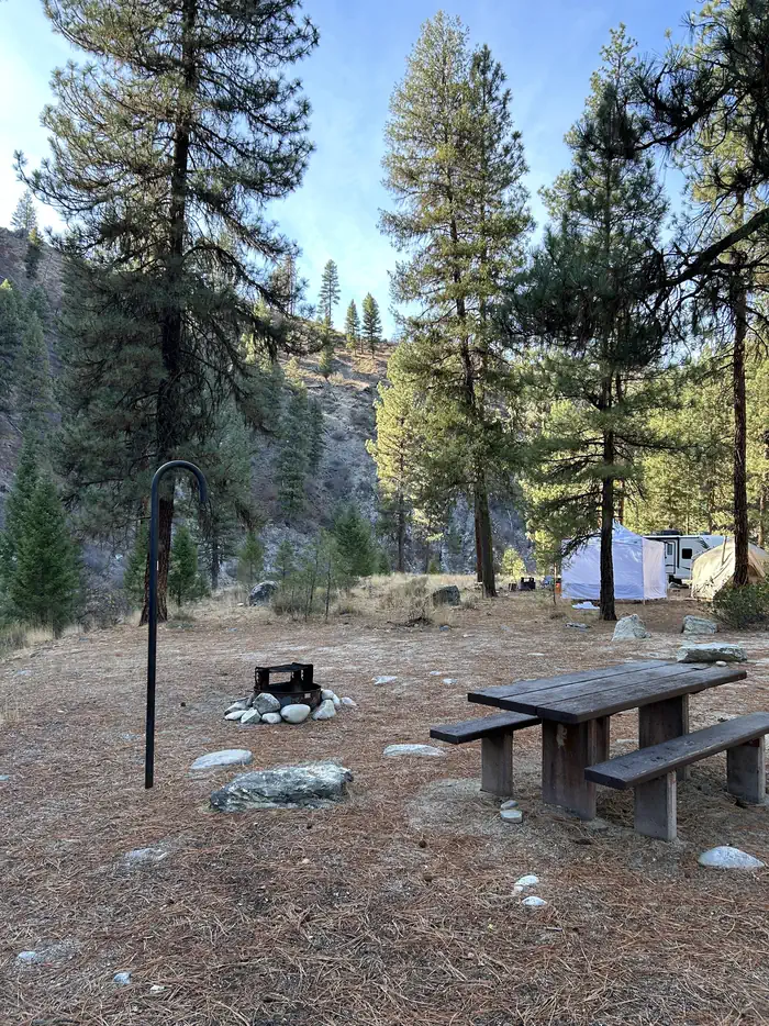 Black RockCampground · 11 sites
Overview Black Rock Campground is located approximately 20 miles from Idaho City, on the North Fork Boise River, at an elevation of 4,300 feet.
- Blackerby Picnic AreaFacility · not watchable
Located approximately 20 minutes southeast of Grangeville, Idaho, the quarter acre Blackerby Picnic Area has a paved parking area, restroom, sidewalk, picnic…
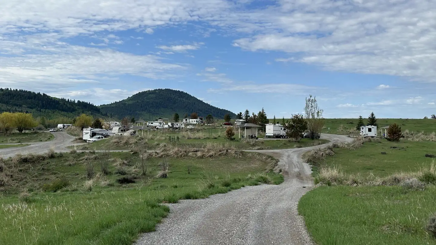 Blackfoot Reservoir CampgroundCampground · 31 sites
Overview Blackfoot Reservoir Campground is managed by the Bureau of Land Management (BLM) and is located on the southwest end of the Blackfoot Reservoir.
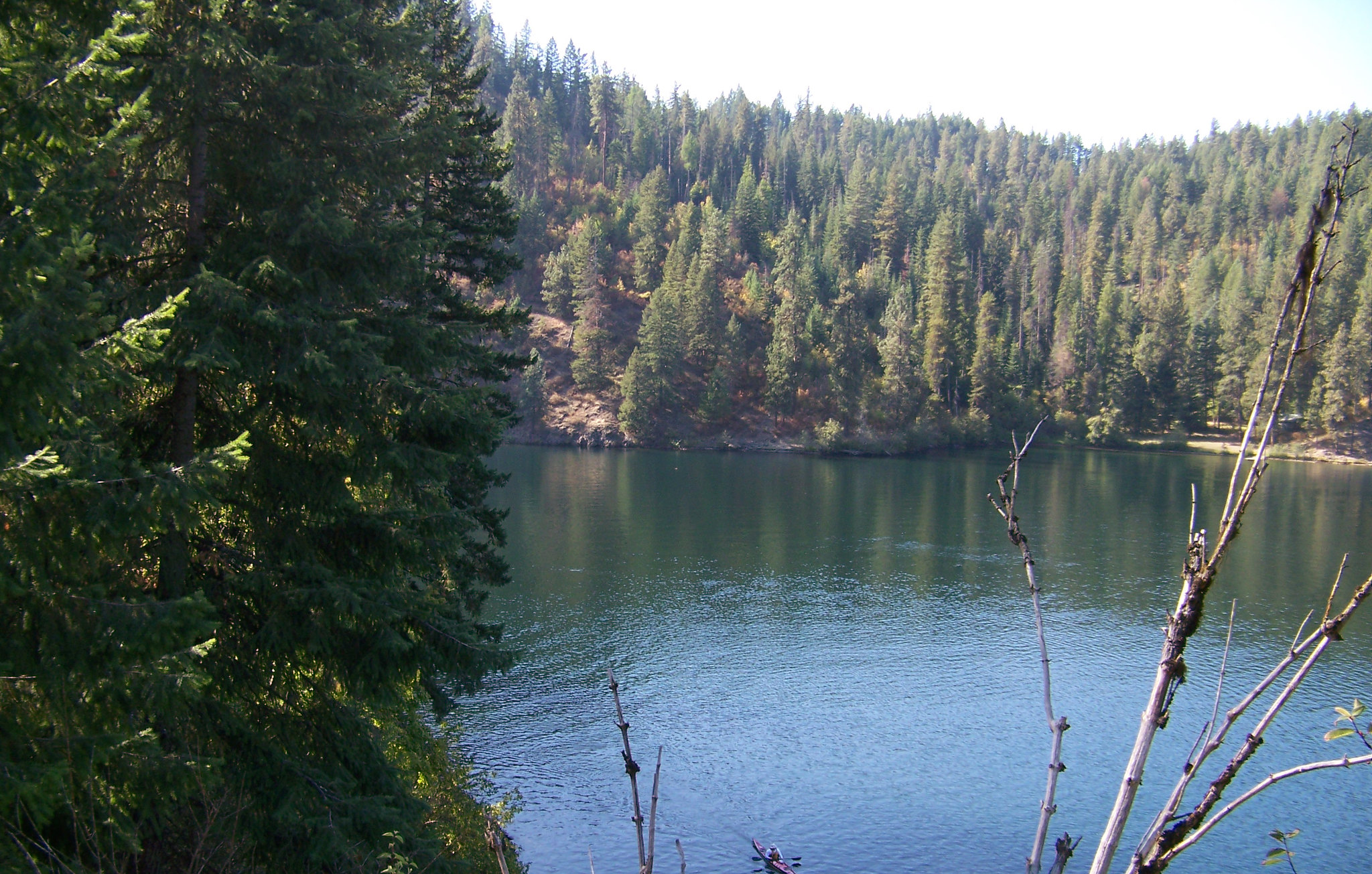 Blue Creek Bay Recreation Site and TrailFacility · not watchable
Overview Blue Creek Bay Recreation Site, located within the 736-acre Wallace Forest Conservation Area, is popular for hiking, mountain biking, horse riding,…
- Bluebunch / Bear Valley TrailheadFacility · not watchable
The Bluebunch / Bear Valley Trailhead includes visitor information, registration box, loading/unloading ramp for animals and hitching rack.
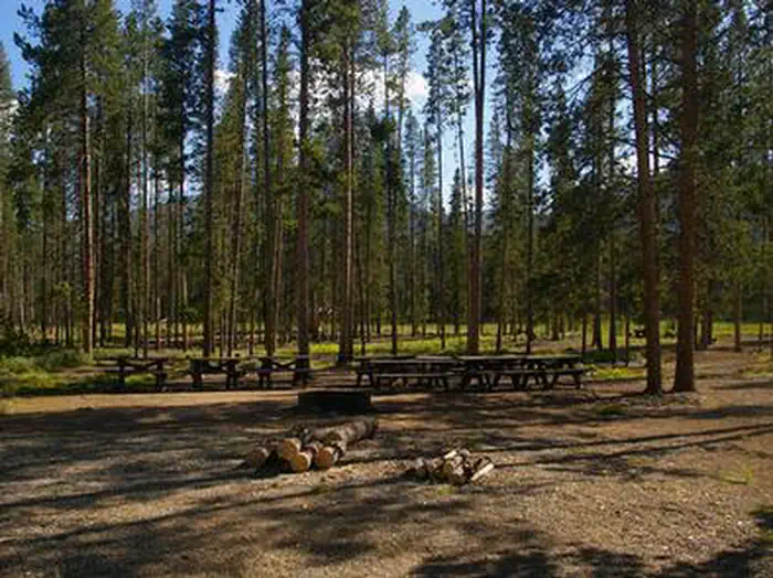 Bonanza CCC Group CampgroundCampground · 1 sites
Overview Bonanza CCC Group Campground is located nine miles up the scenic and historic Yankee Fork drainage.
 BonnevilleCampground · 22 sites
Overview Bonneville Campground is 19 miles east of Lowman, Idaho just off Highway 21 at an elevation of 4,700 feet.
 Boundary Creek CampgroundCampground · 5 sites
Overview Boundary Creek Campground is located at the edge of the Frank Church River of No Return Wilderness, adjacent to the boat launch for the Middle Fork of…
- Buck Creek Forest Camp and TrailheadFacility · not watchable
Located on the western side of the Eagle Cap Wilderness and very close to the wilderness boundary, the Buck Creek Campground/Trailhead was built to meet the…
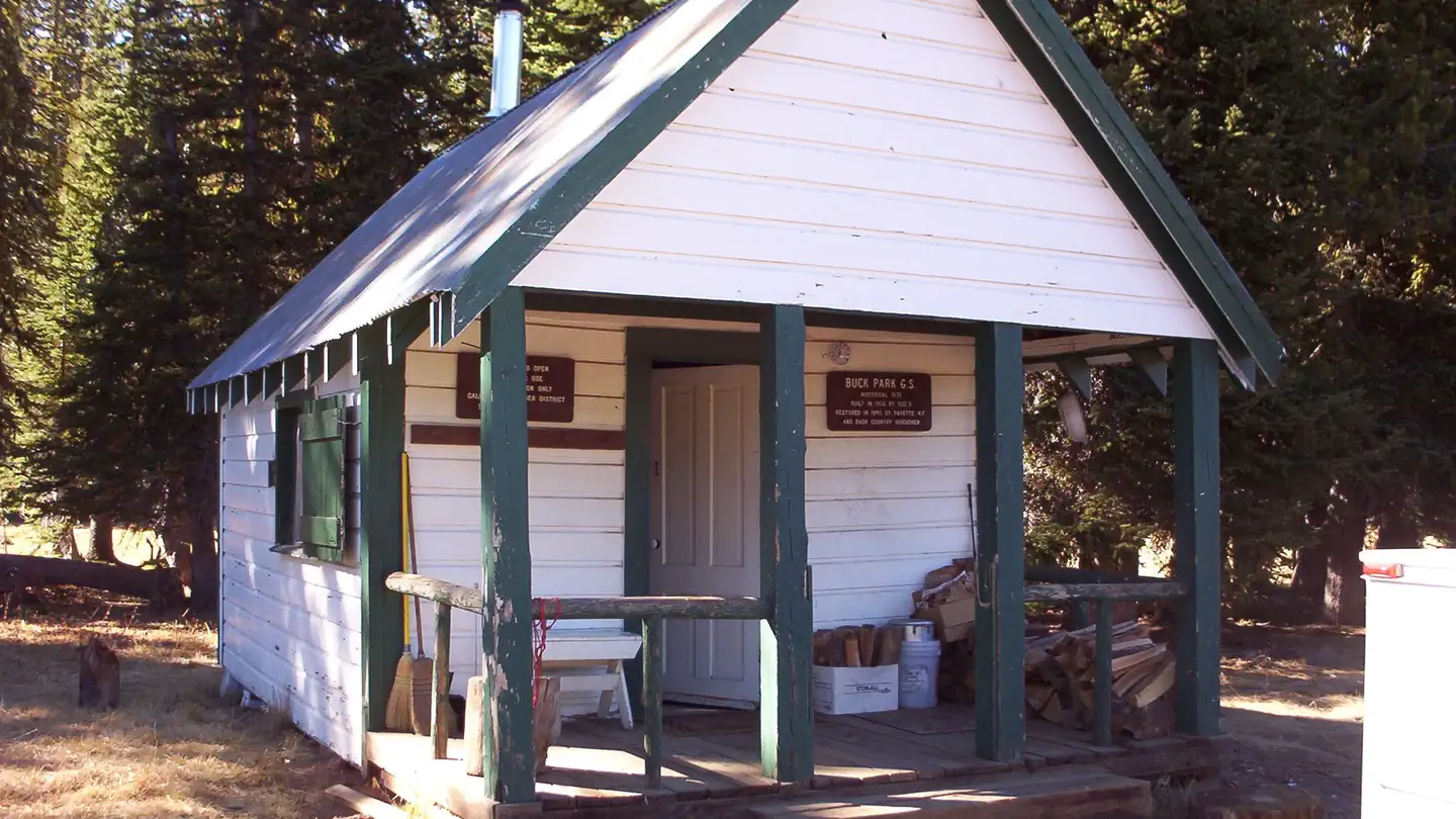 Buck Park CabinCampground · 1 sites
Overview Buck Park Cabin is located on Cuddy Mountain, in the Payette National Forest of central Idaho.
- Buena Vista TrailheadFacility · not watchable
The Buena Vista Trailhead includes a restroom and visitor information. It serves Buena Vista (#262) and Charcoal Gulch (#263) trails.
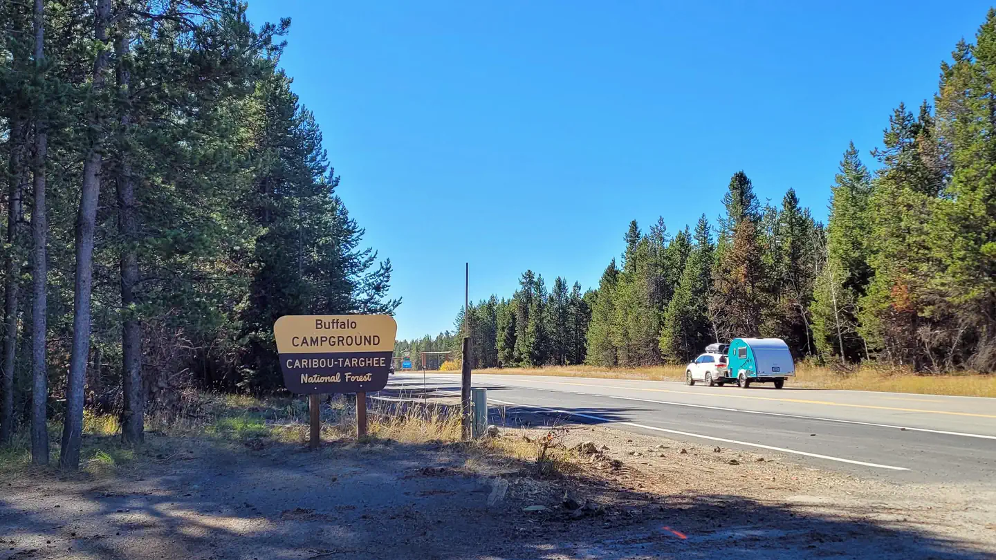 Buffalo (Idaho)Campground · 49 sites
Overview Buffalo Campground is located 26 miles south of West Yellowstone, Montana and 25 miles north of Ashton, Idaho in beautiful Island Park, Idaho.
- Bull Lake AreaFacility · not watchable
Recreational opportunities abound in the Bull Lake area from camping and boating on Bull Lake to Wilderness hikes in the Cabinet Mountains.
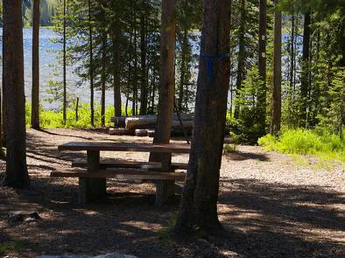 Bull TroutCampground · 38 sites
Overview Bull Trout Campground is located on the shores of beautiful Bull Trout Lake at an elevation of 6,900 feet.
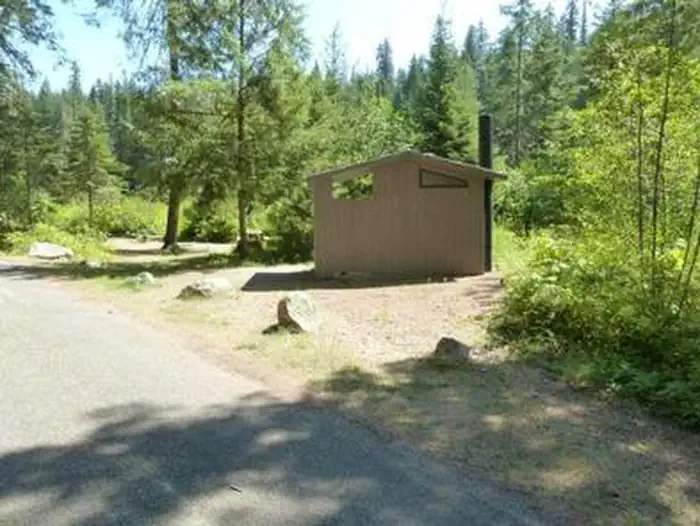 Bumblebee CampgroundCampground · 13 sites
Overview Bumblebee Campground is located in a beautiful meadow with no standing trees, near the Little North Fork Coeur D'Alene River.
- Buster Lake TrailheadFacility · not watchable
This is the trailhead for trail #4153, Fanny's Hole and #4152, Buster Lake Trail. There is one campsite above Buster Lake available for overnight camping.
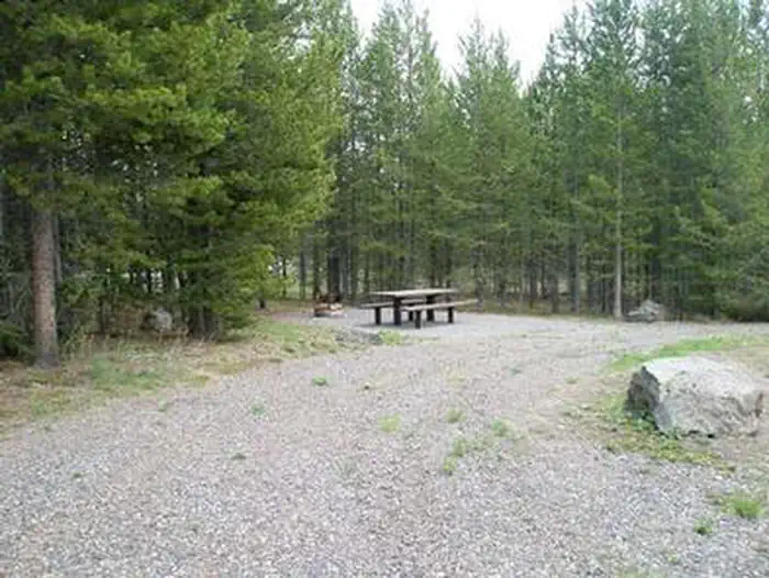 ButtermilkCampground · 21 sites
Overview Buttermilk Campground is located approximately 30 miles southwest of West Yellowstone, Montana and 32 miles north of Ashton, Idaho in beautiful Island…
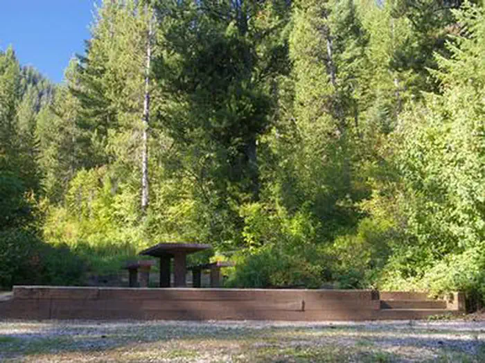 CalamityCampground · 40 sites
Overview Calamity Campground is located along the Snake River drainage at the north end of beautiful Palisades Reservoir at an elevation of 5,700 feet, just 55…
- Camp 32Facility · not watchable
The Camp 32 campground is located 15 miles southwest of Eureka off Pinkham Creek road 7182. The campground 8 sites with tables, fire rings.
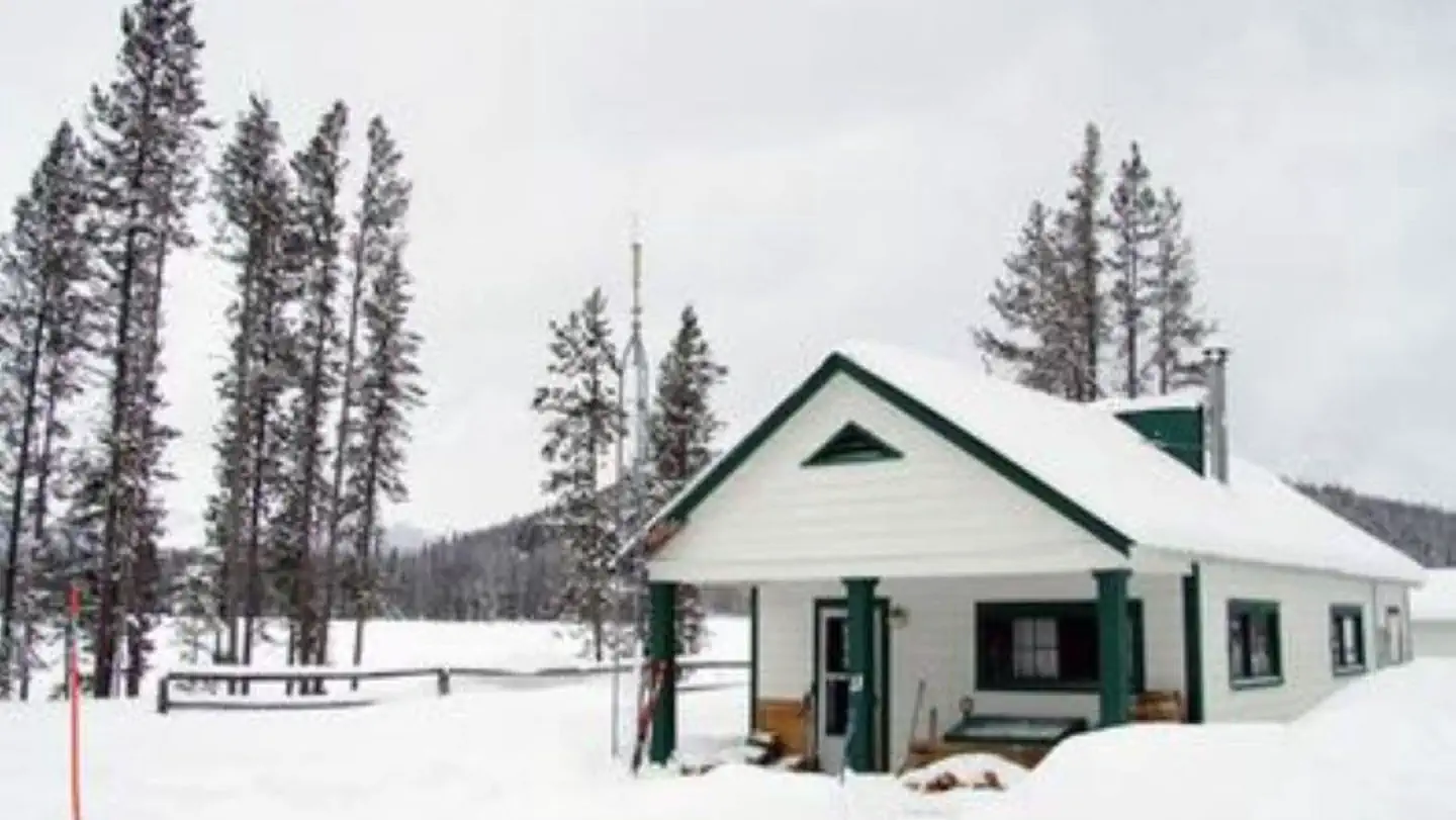 Cape Horn Winter RentalCampground · 1 sites
Overview Cape Horn Winter Rental is located in beautiful Elk Meadow, approximately 16 miles northwest of Stanley, in central Idaho.
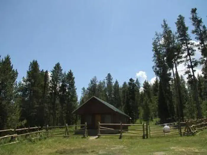 Caribou Mountain Guard StationCampground · 1 sites
Overview Caribou Mountain and the National Forest are named after a man known as "Cariboo Jack," who discovered gold in this area in 1870.
- Cascade Ranger District and OfficeFacility · not watchable
The Cascade Ranger District is the northern most District on the Boise National Forest. Encompassing over 400,000 acres, the District offers a diverse…
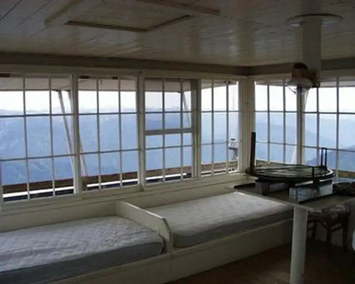 Castle Butte LookoutCampground · 1 sites
Overview Castle Butte Lookout is a unique cabin perched on a rocky point, 6,659 feet above sea level.
- Cedars CampgroundCampground · not watchable
Cedars campground has five developed campsites situated alongside the North Fork of the Clearwater River and Long Creek.
- Challis-Yankee Fork Ranger DistrictFacility · not watchable
The Challis-Yankee Fork Ranger District provides a multitude of opportunities for recreation year round.
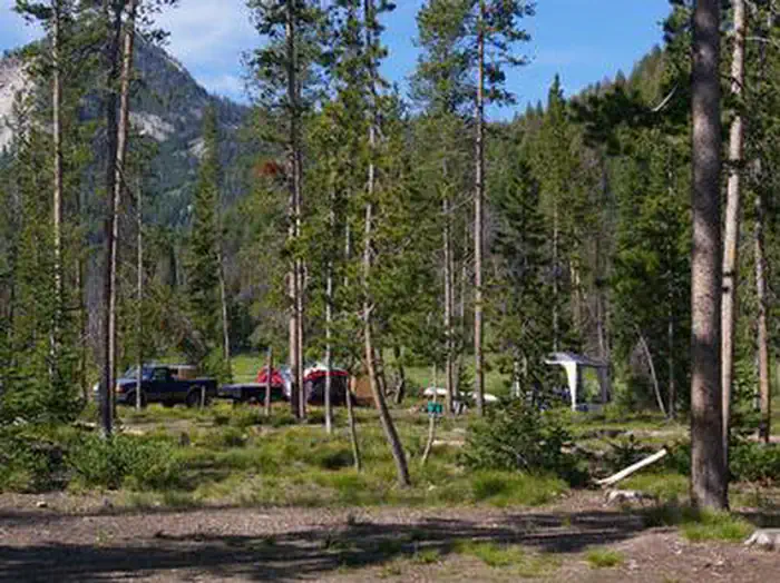 Chemeketan CampgroundCampground · 1 sites
Overview Chemeketan Campground sits near the headwaters of the Salmon River, at the foot of the Sawtooth Mountain Range.
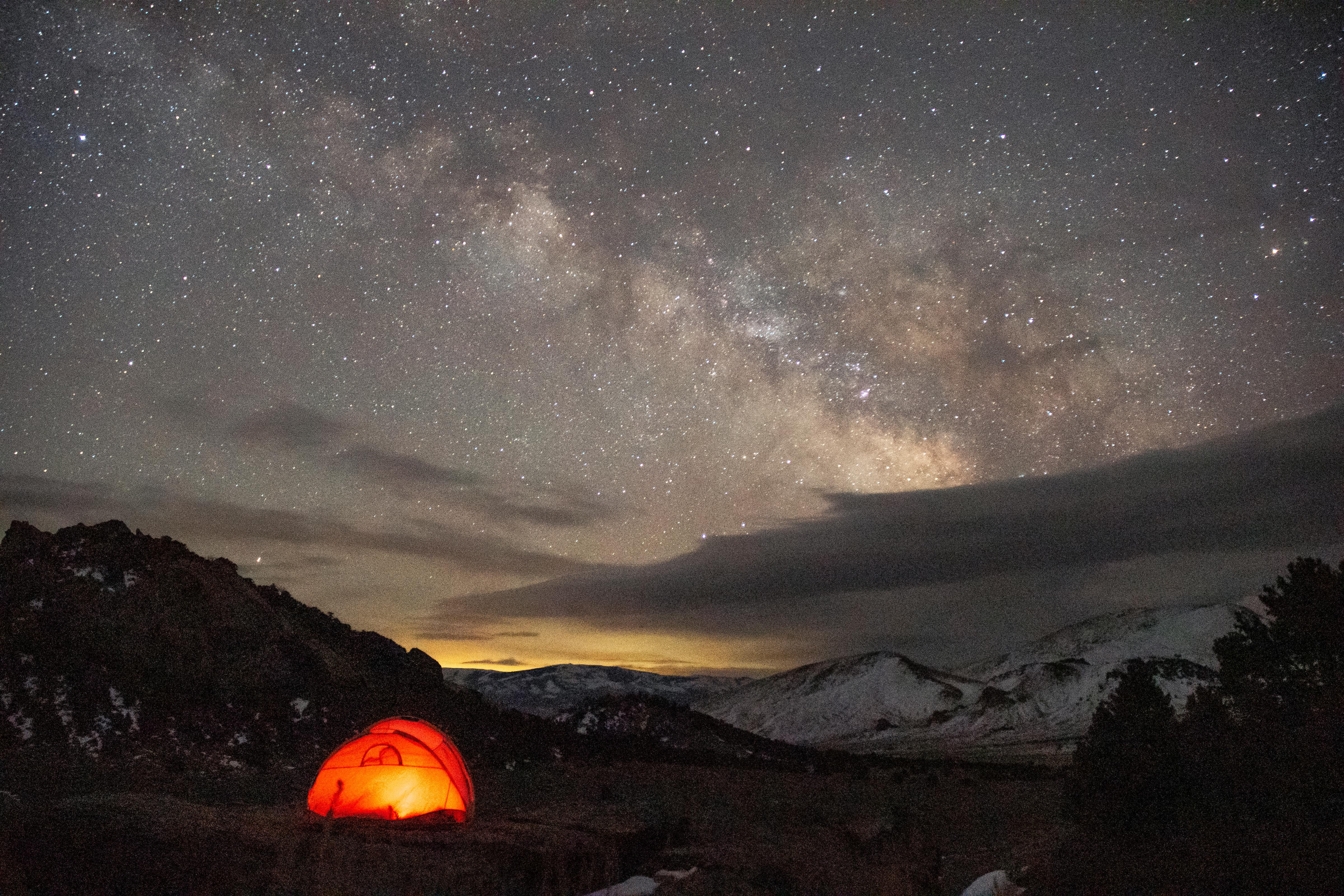 City of Rocks CampgroundCampground · not watchable
Camping in City of Rocks is a great way to enjoy being out in nature. Relax beneath the cool shade of aspen, juniper, mountain mahogany, or pine.
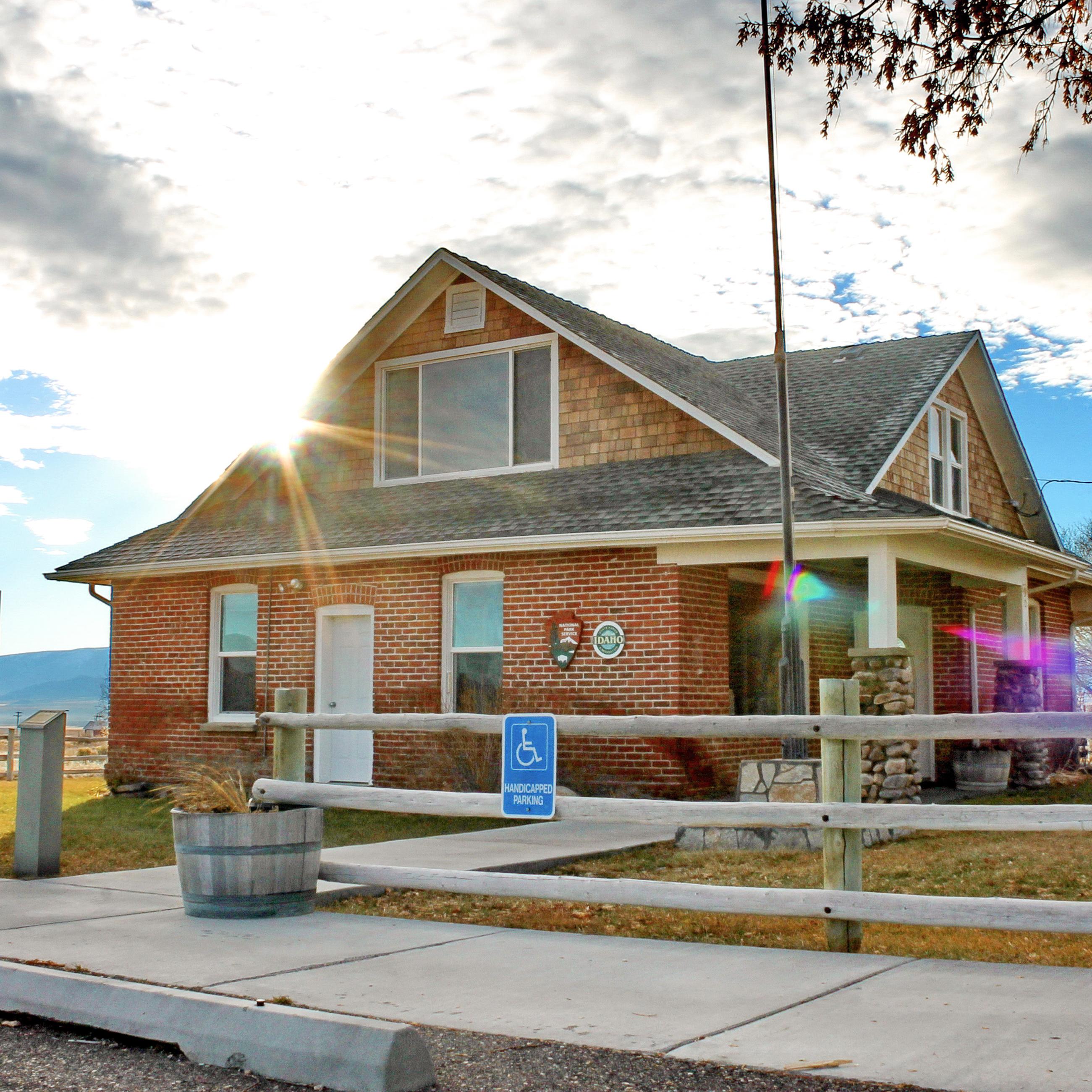 City of Rocks Visitor CenterFacility · not watchable
The Visitor Center for City of Rocks National Reserve and Castle Rocks State Park is located just outside the National Reserve in the community of Almo.
- Clark Fork River AreaFacility · not watchable
The Clark Fork River Area (Cabinet Ranger District) is bordered by the Idaho line on the west and the Cabinet Mountains Wilderness on the east. The Clark Fork…
- Clark Mountain/Orogrande TrailheadFacility · not watchable
A primitive single lane road situated atop the ridgeline with spectacular panoramic views to the south of Orogrande drainage and to the north towards Chateau…
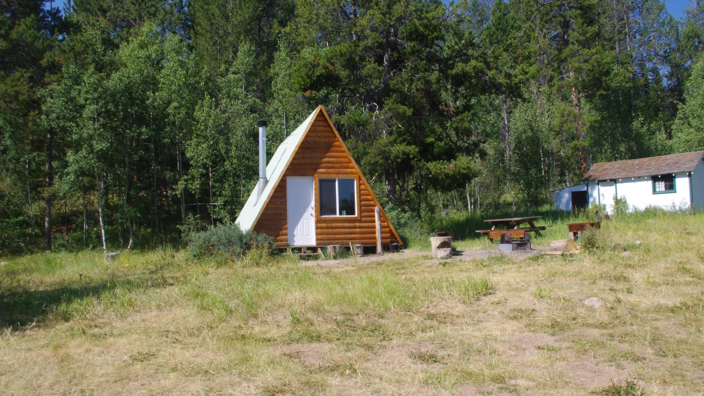 Clear Creek Guard StationCampground · 1 sites
Overview Clear Creek Guard Station is located 20 miles northeast of Montpelier, Idaho.
- Clear Creek TrailheadFacility · not watchable
The Clear Creek trailhead is a small rustic facility located on the southern side of the Wallowa Mountains.
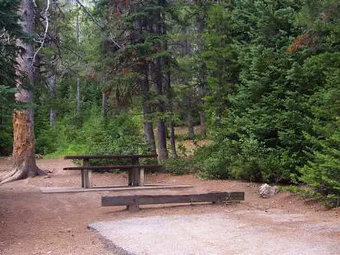 Cloverleaf CampgroundCampground · 19 sites
Overview Cloverleaf Campground is situated on St. Charles Creek in a scenic canyon in the forests of southeast Idaho.
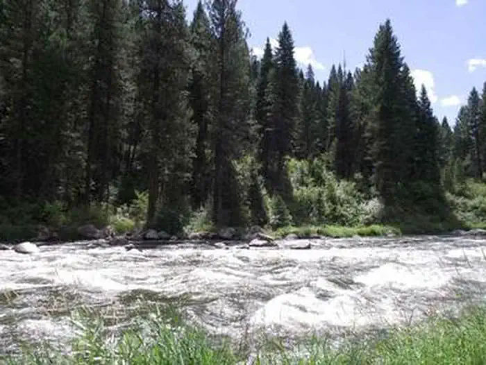 Cold Springs Campground - Boise NF (ID)Campground · 1 sites
Overview Cold Springs Campground is one of four campgrounds along Idaho's State Highway 55, next to the North Fork of the Payette River.
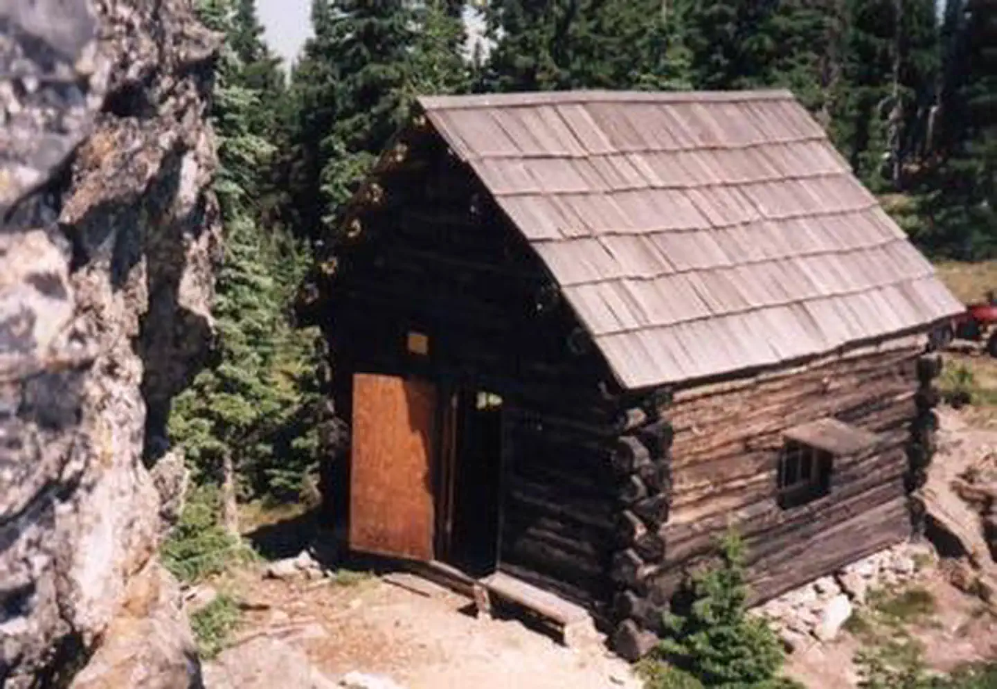 Cold Springs Peak Cabin - Clearwater NF (ID)Campground · 1 sites
Overview As a qualifying inclusion to the National Register of Historic Places, the primitive 12'x14' log cabin was originally constructed to shelter…
- Colt Creek TrailheadFacility · not watchable
Although this trailhead requires some patience in order to get to it due to narrow and bumpy roads, the pay off is well worth it.
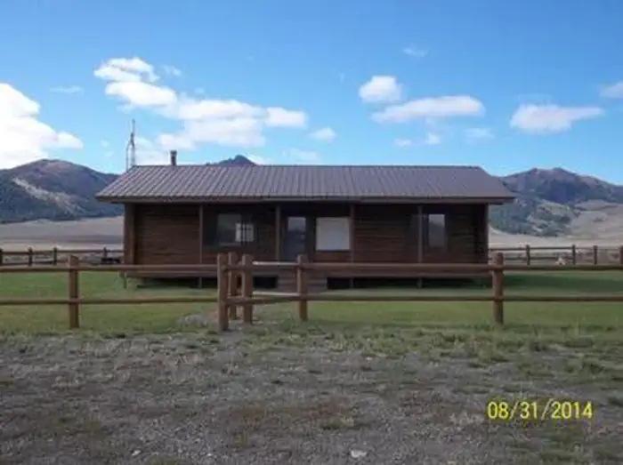 Copper Basin Guard StationCampground · 1 sites
Overview Copper Basin Guard Station is located in Copper Basin, a rugged and beautiful area in the Pioneer Mountains of south-central Idaho.
- Cottonwood Recreation SiteFacility · not watchable
Overview Nestled among shady groves of cottonwood trees along the scenic Upper Salmon River, Cottonwood Recreation Site offers a peaceful setting for camping,…
- Cougar Ridge TrailheadFacility · not watchable
The trail is well signed at the trailhead, boundary and all junctions. This site provides access to Cougar Ridge trail #1668 which enters Eagle Cap Wilderness.
- Cow Creek TrailheadFacility · not watchable
The Cow Creek Trailhead is a small rustic trailhead along the Imnaha River. The site is primarily used in the spring for hikers, anglers and dual sport…
 Cozy CoveCampground · 16 sites
Overview Cozy Cove Campground is located on the southeast shore of scenic Deadwood Reservoir at an elevation of 5,300 feet.
 Cub River Guard StationCampground · 1 sites
Overview Cub River Guard Station was established in 1907, and the first cabin was built in 1909 about a mile from the current site.
 Curlew CampgroundCampground · 14 sites
Overview Curlew Campground is located just seven miles north of Snowville, Utah, and fewer than 10 miles south of Holbrook, Idaho.
- Custer #1 CampgroundCampground · not watchable
This campground is along the Custer Motorway just above the townsite of Custer, a boom town during the late 1800's.
- Dam View Camping AreaCampground · 6 sites
Overview Dam View Camping Area is a primitive six site campground near Dworshak Reservoir.
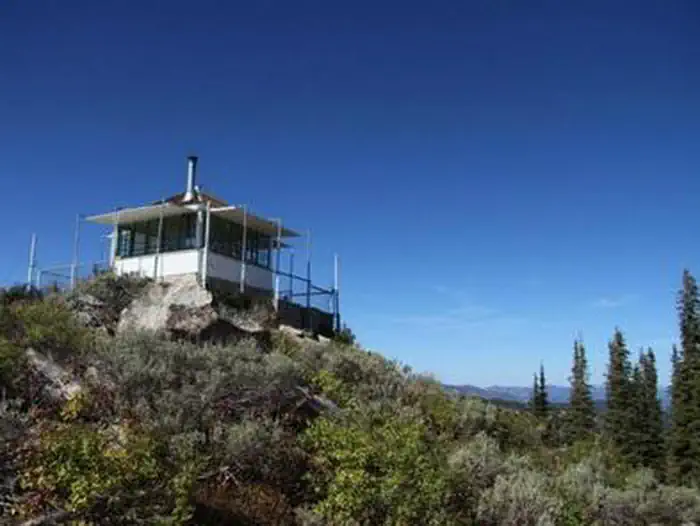 Deadwood Lookout Rec CabinCampground · 1 sites
Overview Deadwood Lookout Recreation Cabin is a historic Forest Service fire lookout on Deadwood Mountain.
- Deadwood River Access SiteFacility · not watchable
The Deadwood River Access Site is across the road from Deadwood Campground, so amenities such as restrooms, parking and picnic tables are available.
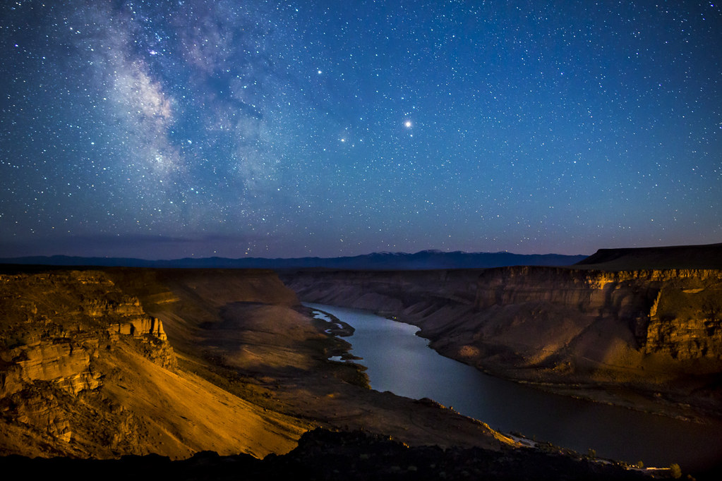 Dedication Point OverlookFacility · not watchable
Crags and crevices, the deep canyon of the Snake River, thermal updrafts, and a broad plateau rich in small wildlife provide habitat for one of the greatest…
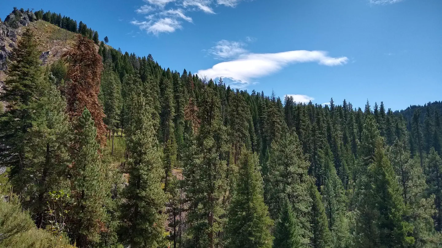 Deer Park CabinCampground · 1 sites
Overview This site was originally established as Deer Park Ranger Guard Station in 1913, and a cabin was built here in 1917.
 Deer Ridge LookoutCampground · 1 sites
Overview Deer Ridge Lookout, perched on a 40 foot timber frame, boasts excellent views of the Purcell mountain ranges of Northern Idaho, Canada and Montana.
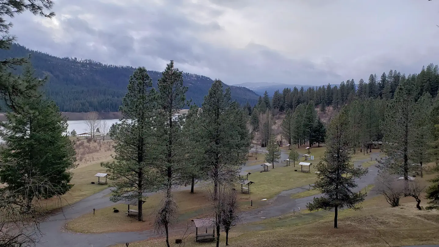 Dent AcresCampground · 52 sites
Overview Located in northern Idaho's beautiful Clearwater Valley, Dent acres Campground on Dworshak Lake is surrounded by forests and abundant wildlife.
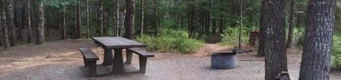 Devils ElbowCampground · 20 sites
Overview Devil's Elbow Campground is perched on the banks of the North Fork Coeur d'Alene River, providing a perfect escape for a warm summer weekend.
- Devoto Grove Picnic Area & TrailheadFacility · not watchable
Only 12 miles from the Montana border in northeastern Idaho along the Northwest Passage Scenic Byway and All American Road (US Highway 12), visitors can enjoy…
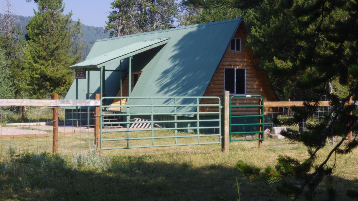 Diamond Creek Guard StationCampground · 1 sites
Overview Diamond Creek Guard Station is located 30 miles east of Soda Springs, Idaho.
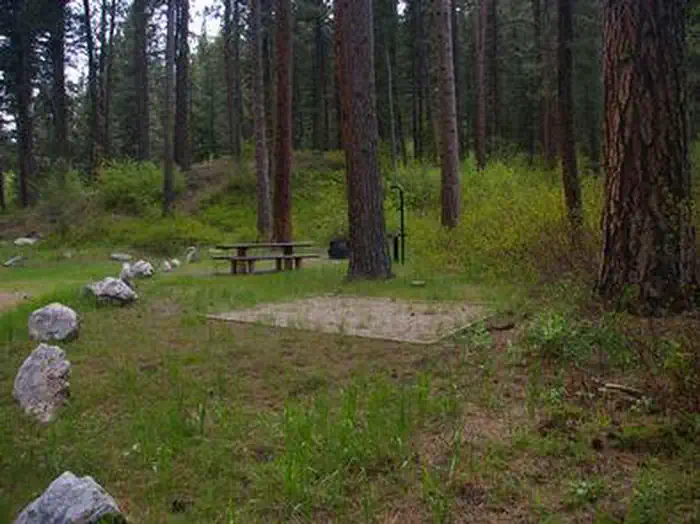 Dog Creek (Id)Campground · 13 sites
Overview Dog Creek Campground is located on the banks of Dog Creek, at the foot of the Trinity Mountain Range.
- Dorr Skeels CampgroundCampground · not watchable
Dorr Skeels Campground is located 13 miles south of Troy on Hwy 56. The Dorr Skeels Campground has 8 overnight campsites, including one host site, with tables…
- Dug Bar Trailhead and Boat LaunchFacility · not watchable
The Dug Bar Boat Launch and Trailhead is a multi-use year round recreation facility. It is the only driveable facility which accesses the northern end Snake…
- Dworshak National Fish HatcheryFacility · not watchable
Dworshak National Fish Hatchery, operated by the Nez Perce Tribe and U.S. Fish and Wildlife Service, is one of the largest fish hatcheries in the world.
- Eagle Mountain TrailheadFacility · not watchable
At mile marker 135.3 on US Hwy 12, Idaho’s Northwest Passage Scenic Byway, along the Wild and Scenic Lochsa River, a majestic wooden trail bridge forms part of…
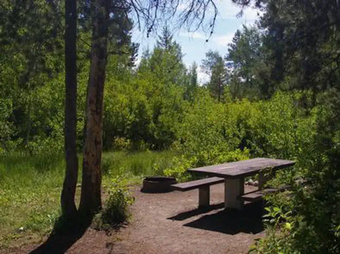 Easley CampgroundCampground · 10 sites
Overview Easley Campground is located along the beautiful Big Wood River at an elevation of 6800 feet, conveniently close to Ketchum, Idaho only 14 miles…
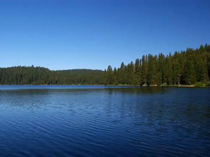 EastsideCampground · 1 sites
Overview Eastside Campground is located on the shores of scenic Sagehen Reservoir at an elevation of 4,956 feet.
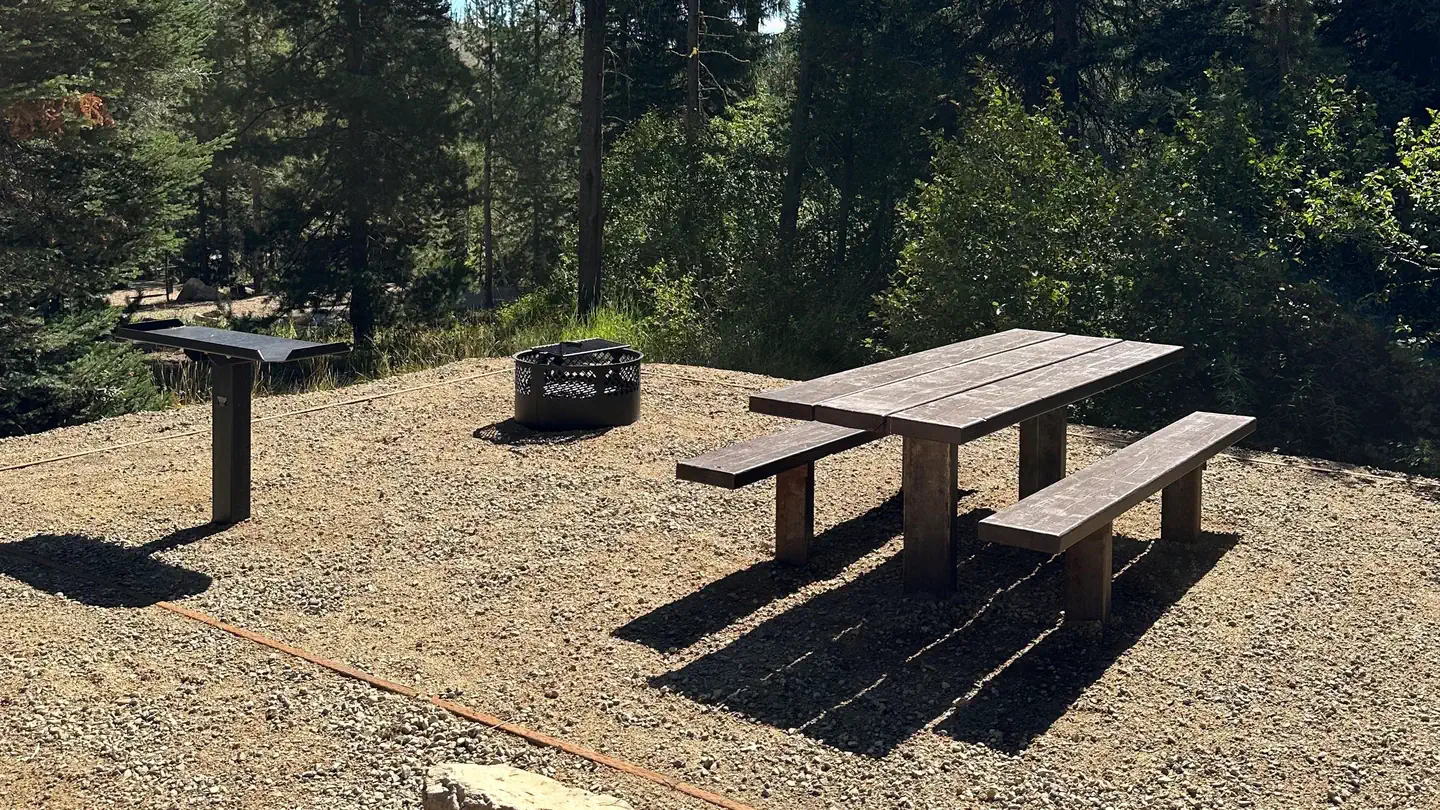 Edna Creek CampgroundCampground · 11 sites
Overview Edna Campground is located 56 miles northeast of Boise, Idaho, in a scenic Ponderosa Pine forest along Highway 21 at an elevation of 5,700 feet.
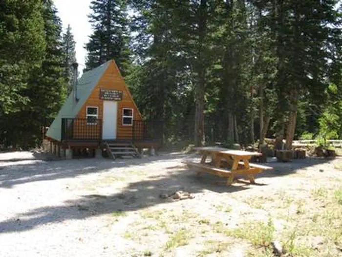 Egan Basin Guard StationCampground · 1 sites
Overview Egan Basin Guard Station is a rustic retreat in the Montpelier Ranger District of the Caribou-Targhee National Forest of southeastern Idaho, near the…
 Egin Lakes Campground/Day Use AreaCampground · 48 sites
Overview Located far from any ocean, the St. Anthony Sand Dunes appears as a rolling sea of sand on the eastern edge of Idaho’s volcanic Snake River Plain.
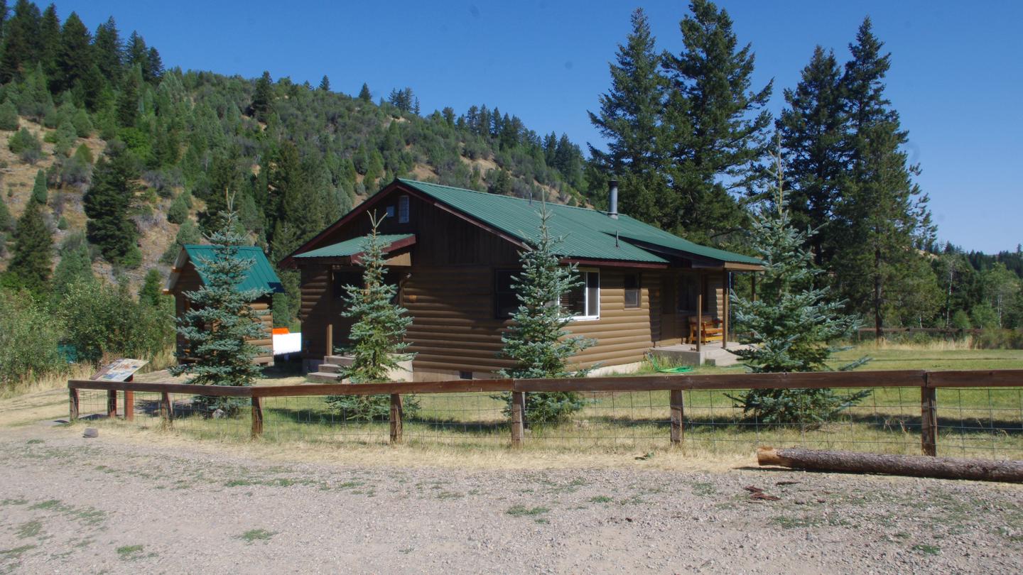 Eight Mile Guard StationCampground · 1 sites
Overview Eight Mile Guard Station is a short drive from Soda Springs, Idaho. It was established as early as 1908.
- Elk Creek Boat RampFacility · not watchable
The Elk Creek Boat Ramp provides access to Anderson Ranch Reservoir, just north of the dam.
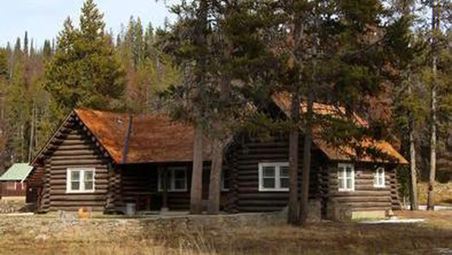 Elk Creek CabinsCampground · 1 sites
Overview Elk Creek Cabins are open from November through April, offering a rustic retreat for winter sports enthusiasts.
 Elk Creek Campground (Clearwater NF)Campground · 13 sites
Overview Elk Creek Campground offers visitors a little bit of everything. From scenic views and vistas, to attractive waterfalls and ancient foliage, the…
 Elk Creek Campground (Sawtooth NF)Campground · 1 sites
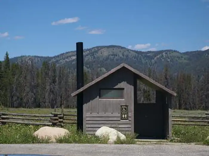
Overview Elk Creek Campground lies just off Highway 21 in a beautiful valley at the foot of the Sawtooth Mountain Range in central Idaho.
- Elk Creek Pavilion (Clearwater NF)Campground · 1 sites
Overview Elk Creek Pavilion offers visitors a little bit of everything. From scenic views and vistas, to attractive waterfalls and foliage, the pavilion…
- Elk Summit CampgroundCampground · not watchable
This sweet destination of a campground rests a short distance from the 1.34 million acre Selway-Bitterroot Wilderness.
 Elks Flat CampgroundCampground · 2 sites
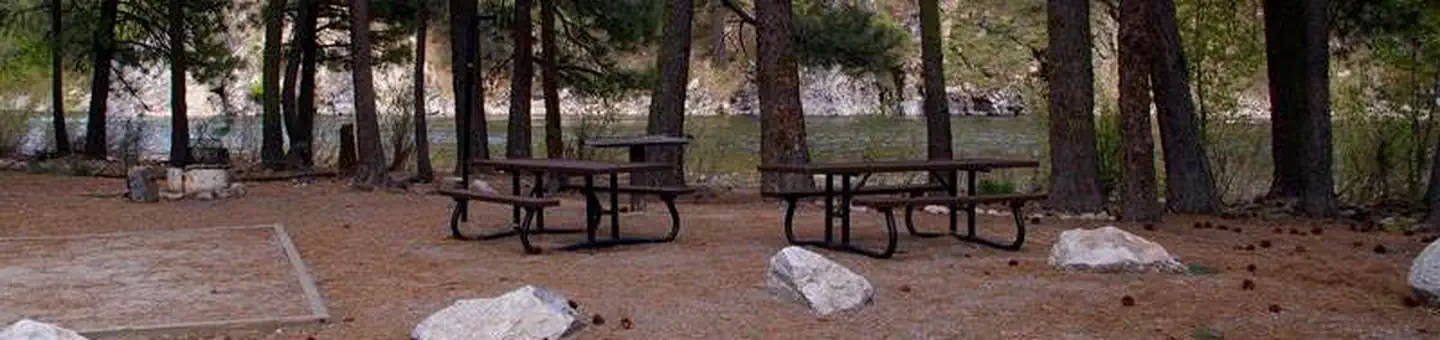
Overview Elks Flat Campground is situated on the banks of the South Fork Boise River, at the foot of the Trinity Mountain Range in Idaho.
 Emerald Creek Garnet Area TicketsTickets
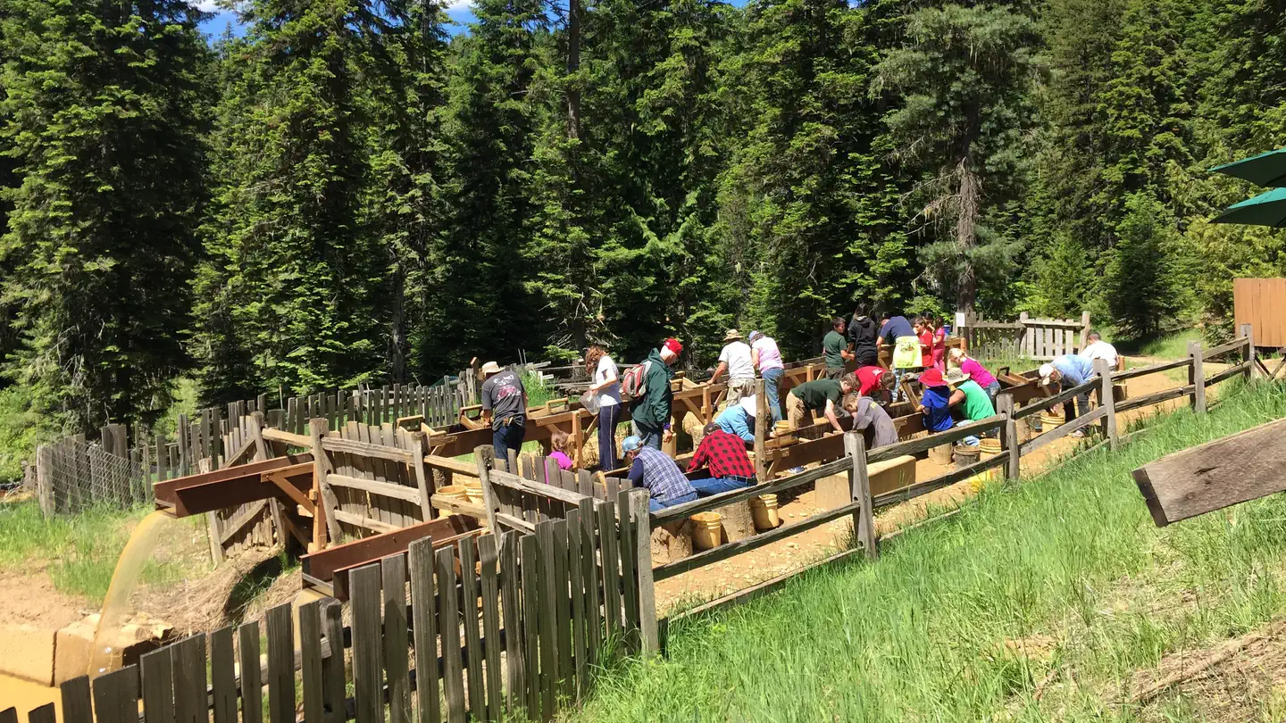
Tickets open up for reservation 90 days prior to the available date. If no availability is shown on the calendar they have either not been released yet or all…
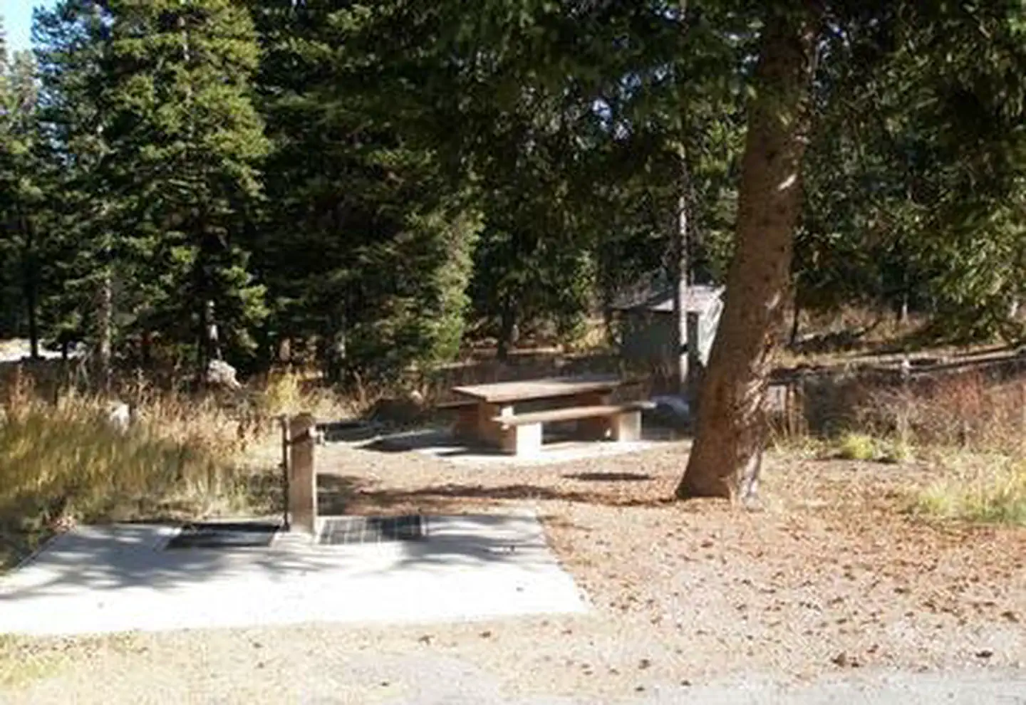 Emigration CampgroundCampground · 26 sites
Overview Emigration Campground is located in 17 miles west of Montpelier, Idaho, just off State Highway 36 in Emigration Canyon.
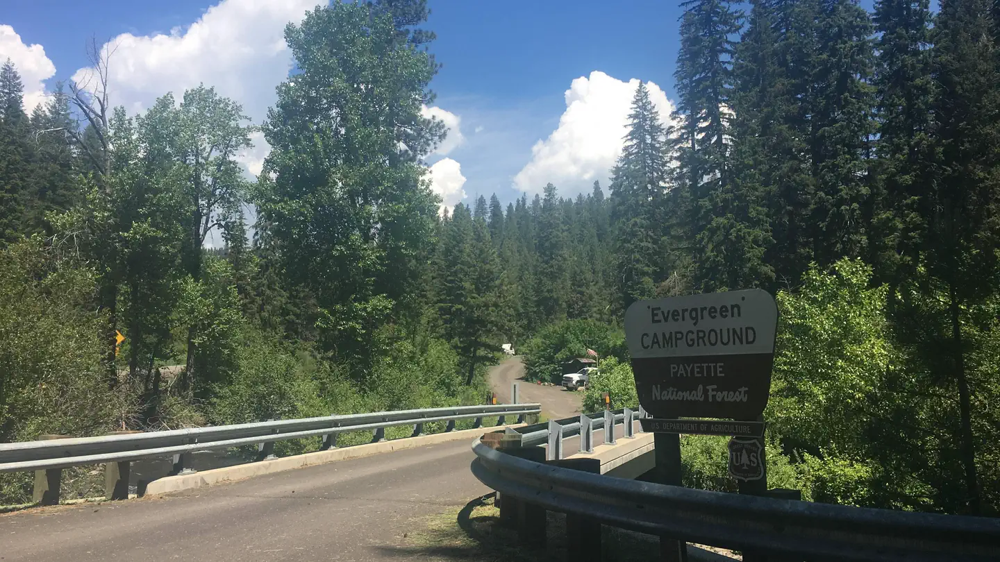 Evergreen CampgroundCampground · 12 sites
Overview Evergreen Campground is situated next to the Weiser River just off Highway 95 between the towns of Council and New Meadows, Idaho.
 Falls CampgroundCampground · 25 sites
Overview Falls Campground is located next to the Snake River in beautiful Swan Valley at an elevation of 5,100 feet. Idaho Falls, Idaho is just 45 miles west.
- Fenn PondFacility · not watchable
Fenn Pond is located across from Fenn Ranger Station. It has an accessible trail and boardwalk.
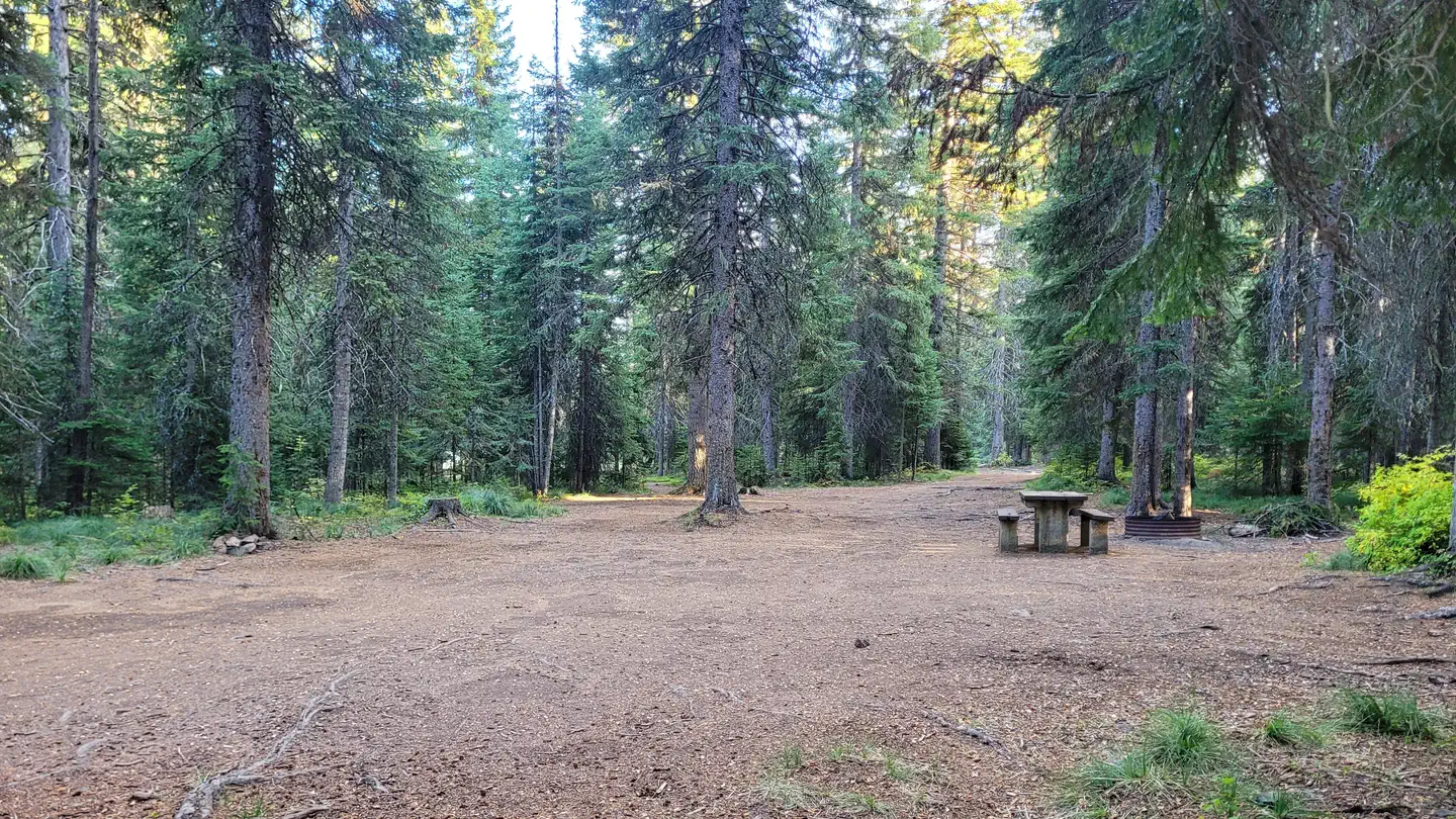 Fish Creek Group UseCampground · 1 sites
Overview Fish Creek Group Camp is located a few miles from the developed Fish Creek Campground.
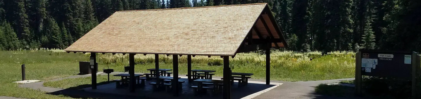 Fish Creek PavilionCampground · 1 sites
Overview Fish Creek Pavilion is a day-use picnic area adjacent to Fish Creek Campground.
- Fisher River AreaFacility · not watchable
The Fisher River Area is the watershed formed by the four forks (West, East, Silver Butte, Pleasant Valley) of the Fisher River and Wolf Creek.
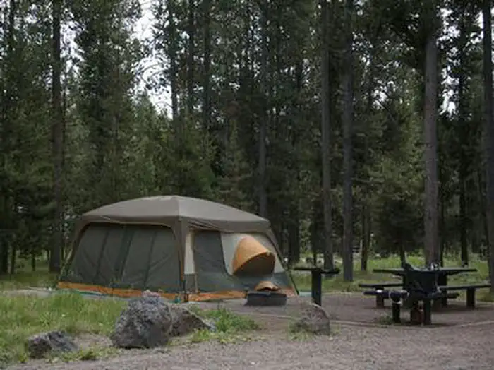 Flat Rock (Idaho)Campground · 16 sites
Overview Flat Rock Campground is located 22 miles south of West Yellowstone, Montana and 30 miles north of Ashton, Idaho in beautiful Island Park, Idaho.
- Flint Creek TrailheadFacility · not watchable
Flint Creek trailhead (designated as "American River" campground on the Forest Map) offers camp pads, a stock loading ramp, fire rings, hitching rails, meat…
- Fog Mountain TrailheadFacility · not watchable
Fog Mountain Trailhead, located at the end of Forest Service road 319 (Fog Mountain Road) and Big Fog Saddle, provides visitors with access to three trails…
- Fourth Of July TrailheadFacility · not watchable
Home to yet another one of our glorious wooden suspension pack bridges, at the junction of FS Road 250 and the Fourth of July packbridge, the Fourth of July…
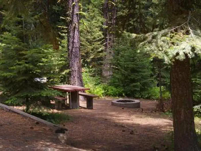 French CreekCampground · 21 sites
Overview French Creek Campground is located next to scenic Lake Cascade in west-central Idaho. It is near the town of Donnelly, at an elevation of 4,850 feet.
- French Creek Boat DocksFacility · not watchable
The French Creek Boat Docks are docks with a ramp located adjacent to French Creek Campground. There is a small,gravel parking lot that can accommodate about…
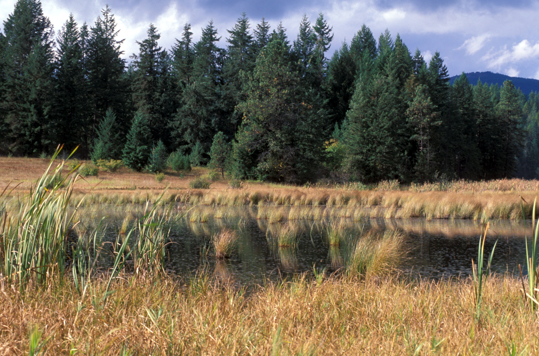 Gamlin LakeFacility · not watchable
Gamlin Lake Trail system offers three miles of gentle and easy trail through a forest overstory, providing foot access to Gamlin Lake.
- Garden Creek CampgroundCampground · not watchable
This campground, located in an aspen grove, is along the Big Lost River and features scenic hiking and nature viewing opportunities for visitors.
- Gateway Boat CampFacility · not watchable
The Gateway Boat Camp is located approximately 8.5 air miles from Eureka, and 0.18 miles from the Canadian Border.
 Glacier View CampgroundCampground · 64 sites
Overview Glacier View Campground is located next to beautiful Redfish Lake, beneath the Sawtooth Mountain Range, at an elevation of 6,500 feet.
- Glade Creek CampgroundCampground · 1 sites
Overview Glade Creek Campground is a group site, only available by reservation. The campground is located along US Highway 12 in the Clearwater National Forest…
- Gold King TrailheadFacility · not watchable
Gold King Trailhead is a small trailhead located in a picturesque meadow near East Eagle Creek.
- Goodenough Creek CampgroundCampground · not watchable
Campground rules and regulations are posted at the site. There are motorized and non-motorized trails leading to the Caribou – Targhee National Forest trail…
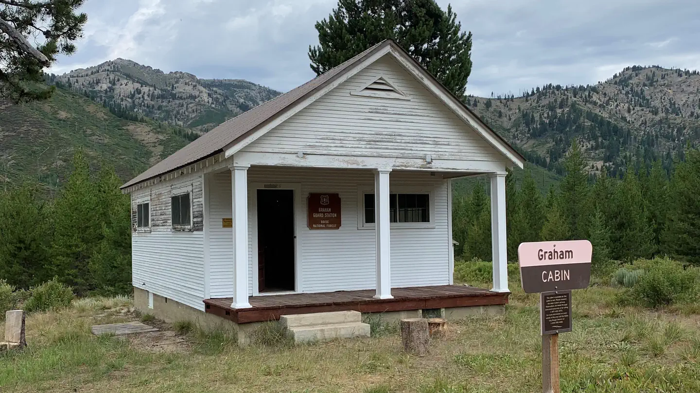 Graham CabinCampground · 1 sites
Overview Graham Cabin, a former Forest Service Guard Station, is an ideal getaway for motorcyclists, flight enthusiasts and equestrians, for whom getting there…
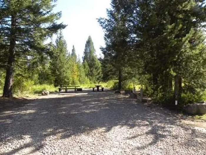 Grandview Campground (Idaho)Campground · 8 sites
Overview Grand View Campground is located on the Mesa Falls Scenic Byway, adjacent to the Lower Mesa Falls Overlook, approximately 13 miles northeast of…
- Grave Creek CampgroundCampground · not watchable
Grave Creek Campground is located 4 miles north of Fortine on road 7061. The campground has 4 campsites with tables and fire rings and able to accomodate up to…
- Graves Creek CampgroundCampground · not watchable
This BLM managed site located along the Blackfoot River that has opportunities for fishing, camping, and non-motorized boating.
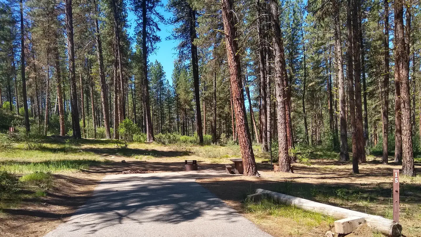 GraybackCampground · 14 sites
Overview Grayback Campground is located 36 miles northeast of Boise, Idaho, just off scenic Highway 21.
- Grayback Campground and Group sites - reserveCampground · not watchable
Grayback Campground is located 36 miles northeast of Boise, Idaho, just off scenic State Highway 21.
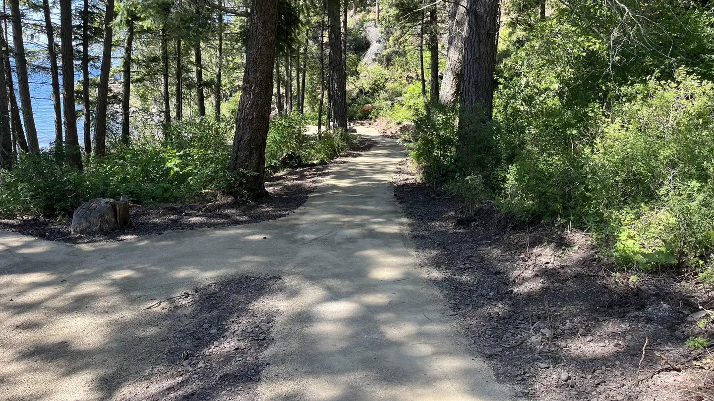 Green Bay CampgroundCampground · 17 sites
Overview Surrounded by clear waters of Lake Pend Oreille which is Idaho’s biggest and deepest (at 1,158 feet deep, there are only four deeper lakes in the…
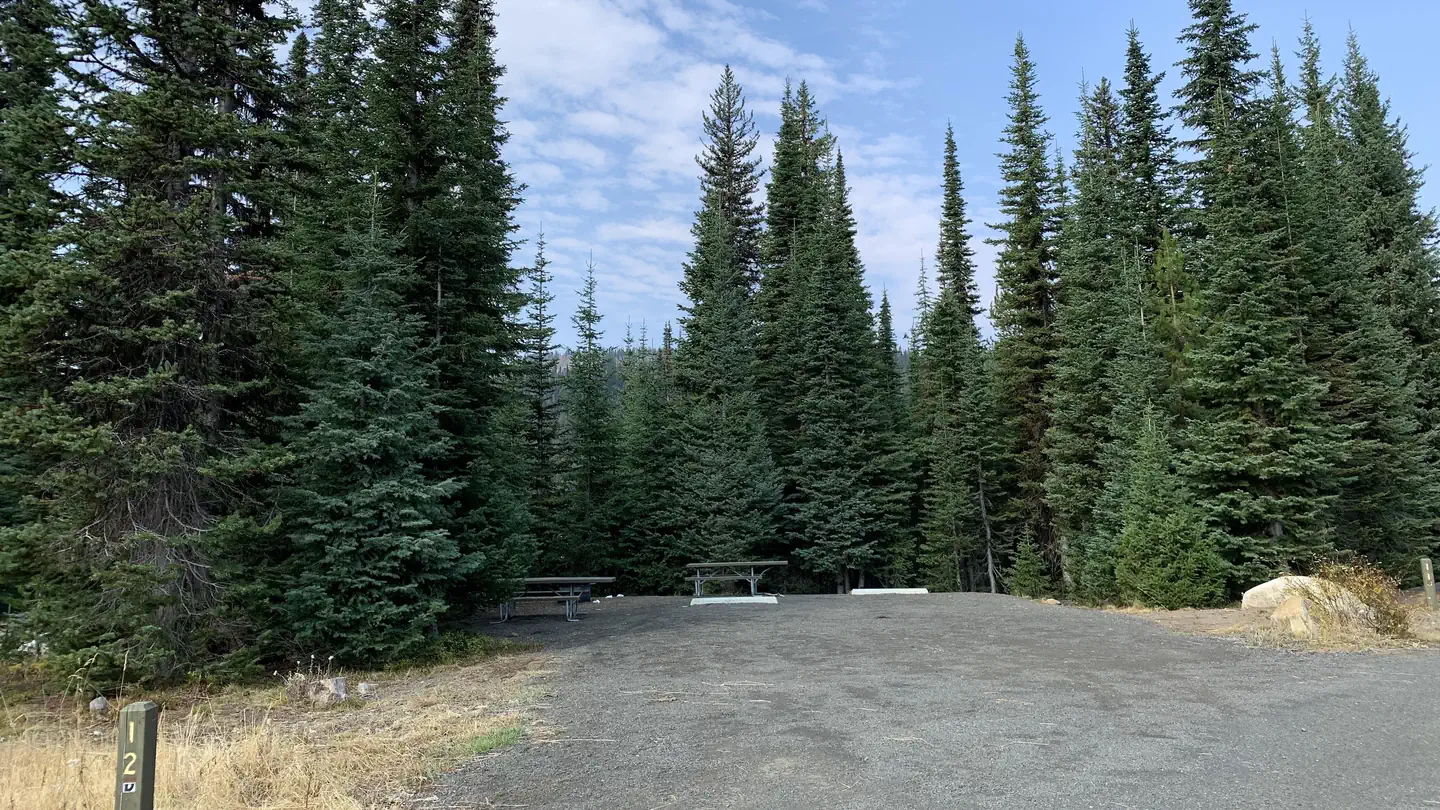 Grouse CampgroundCampground · 21 sites
Overview Grouse Campground is located just 16 miles from McCall, Idaho, on the shores of Goose Lake. Visitors enjoy canoeing, fishing and horseback riding.
- Gumboot Creek Fish Interpretive SiteFacility · not watchable
The Gumboot Creek Fish Interpretive Site is a small roadside stop located along the Hells Canyon Scenic Byway.
- Hagerman National Fish HatcheryFacility · not watchable
The Hagerman National Fish Hatchery (NFH) is located along the Snake River, about 30 miles west of Twin Falls, Idaho.
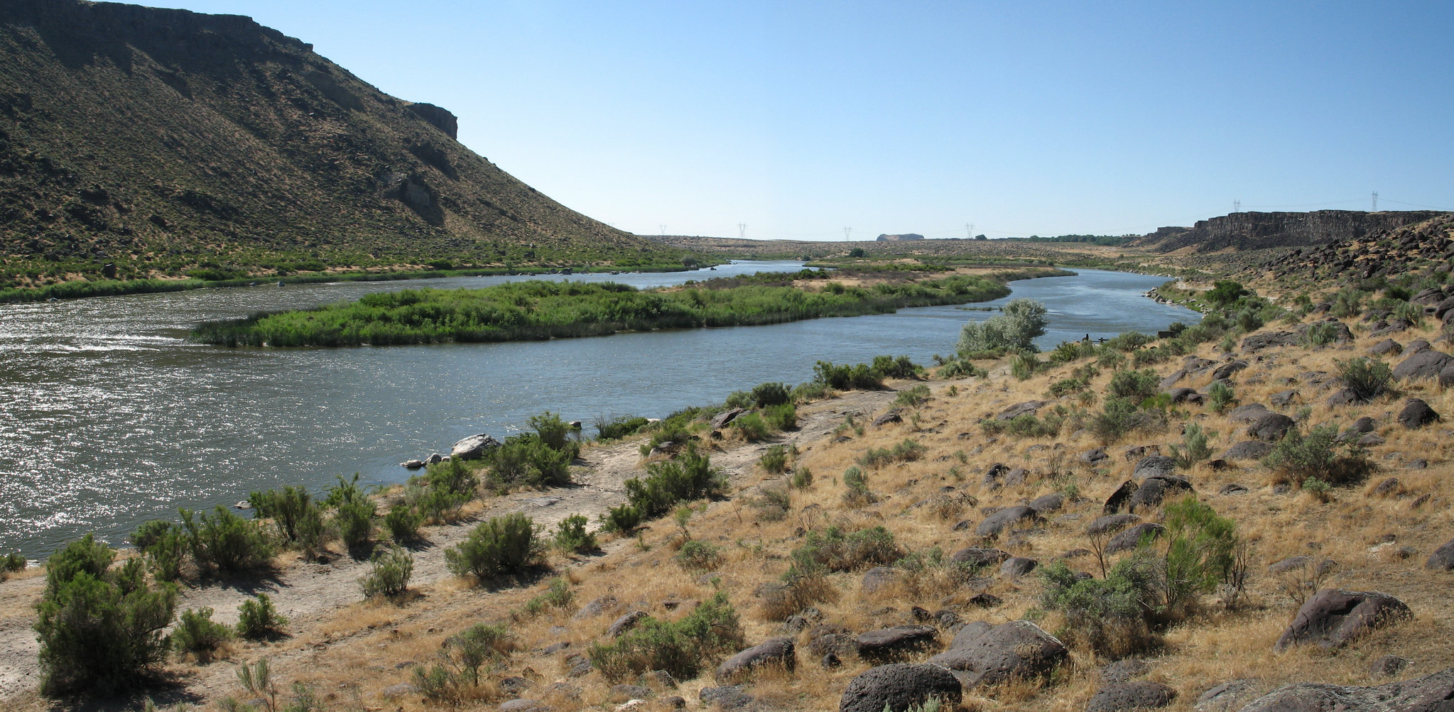 Halverson Bar/LakeFacility · not watchable
Named after brothers Al and Roy Halverson who once farmed property to the north, the Halverson Bar and Halverson Lake area is unique for its curving two-mile…
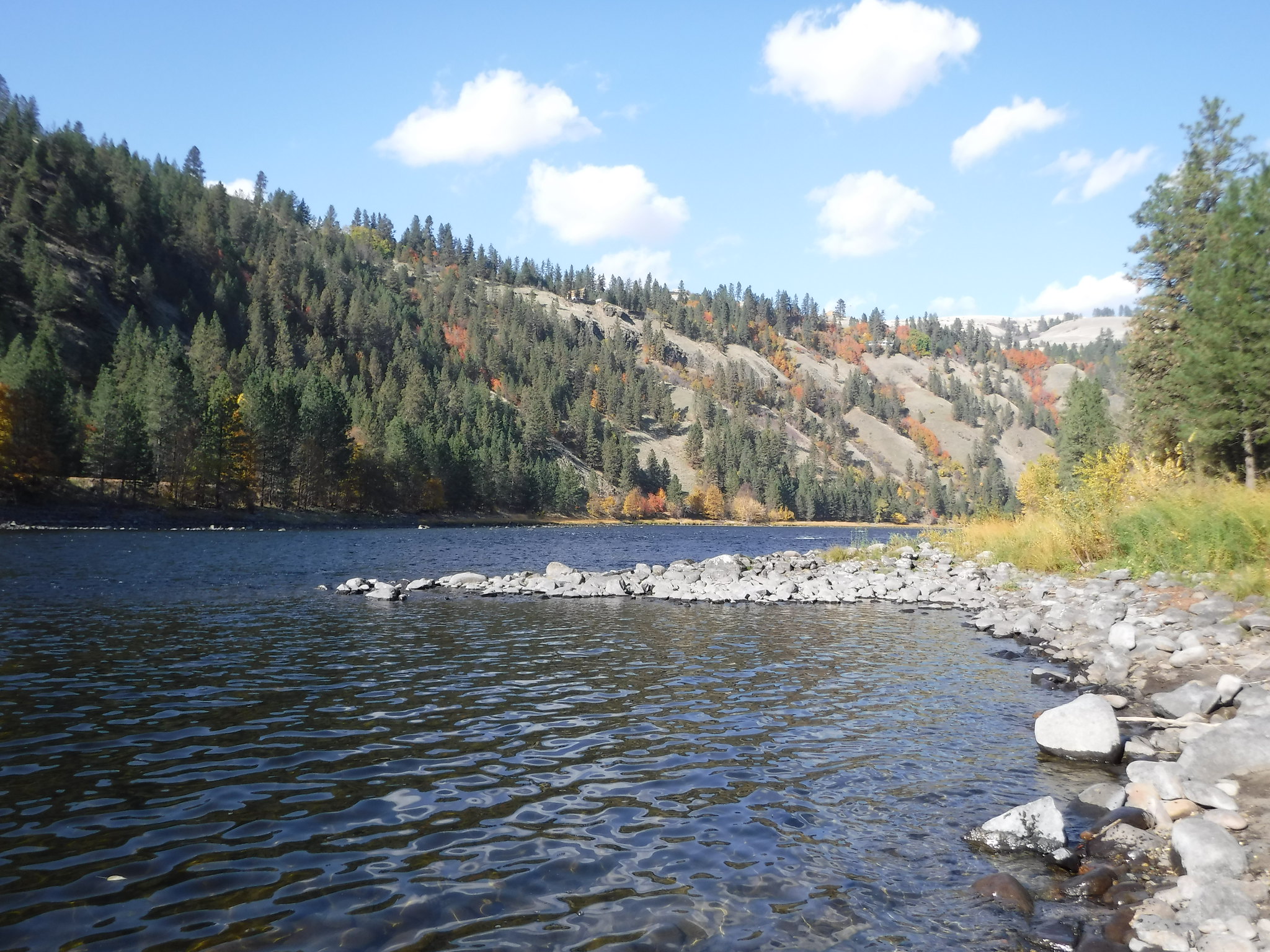 Harpers Bend Recreation SiteFacility · not watchable
Harpers Bend is a day use area located along the Clearwater River and Lewis and Clark National Historic Trail.
- Hawkins Reservoir CampgroundCampground · not watchable
This site is adjacent to the Hawkins Reservoir that has opportunities for fishing and boating. Campground rules and regulations are posted at the site.
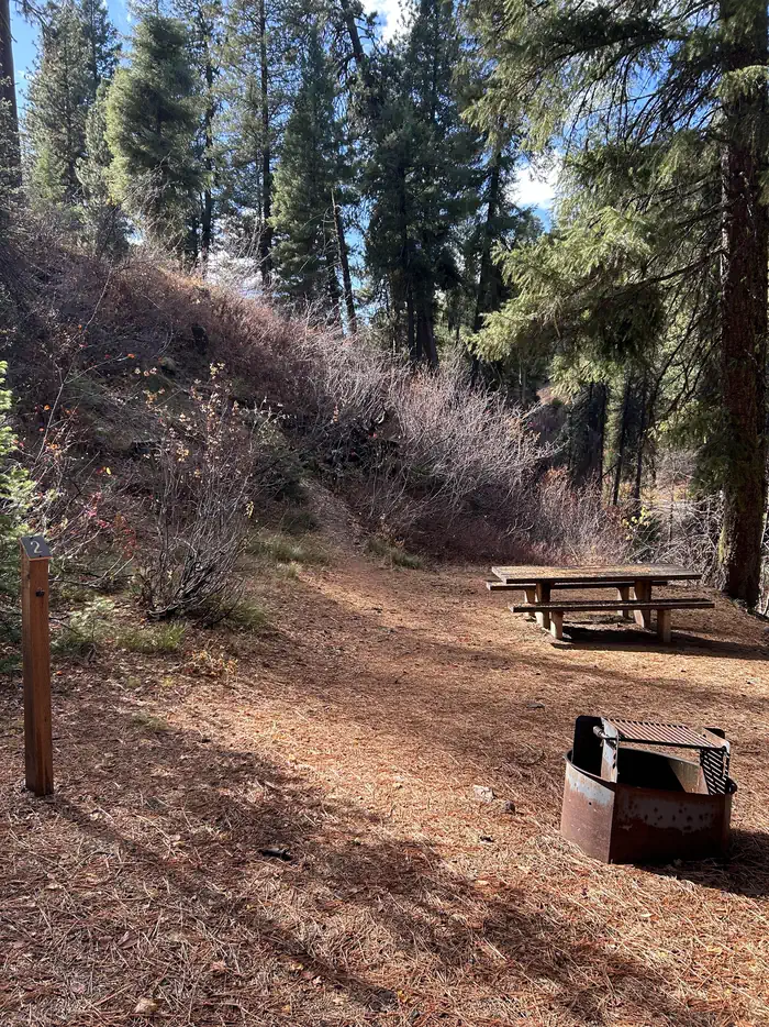 Hayfork Group CGCampground · 1 sites
Overview Hayfork Group Campground is located 49 miles northeast of Boise, Idaho, along scenic Highway 21.
- Heavens Gate OverlookFacility · not watchable
This overlook is thought by many to be the best view into Hells Canyon from Idaho. It is the highest viewpoint on the Idaho side at an elevation of 8429 feet.
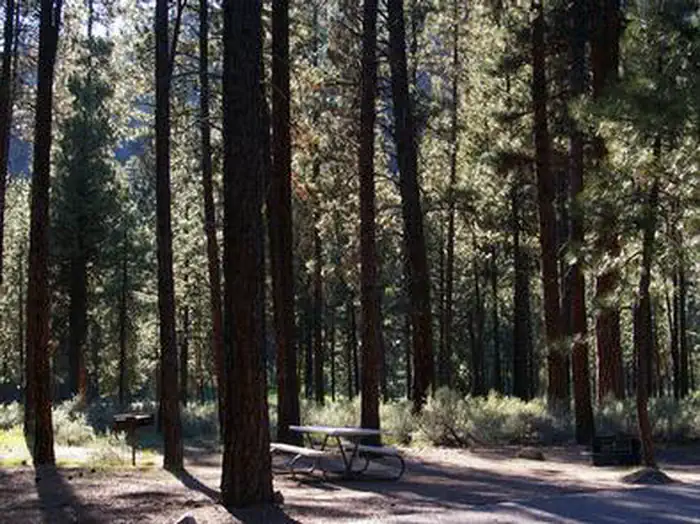 HelendeCampground · 10 sites
Overview Helende Campground is located 10 miles east of Lowman, Idaho, along Highway 21 at an elevation of 4,100 feet.
- Hells Canyon - Oregon/Wallowa ValleyFacility · not watchable
The Hells Canyon National Recreation Area (HCNRA) straddles both sides of the Snake River in both Oregon and Idaho.
- Hells Canyon National Recreation Area - IdahoFacility · not watchable
The Hells Canyon National Recreation Area (HCNRA) straddles both sides of the Snake River in Oregon and Idaho.
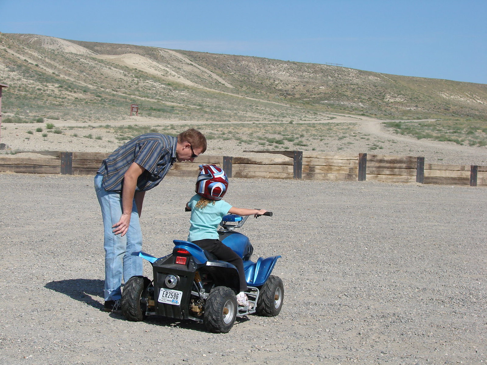 Hemingway Butte OHV TrailheadFacility · not watchable
The Owyhee Front is a popular area offering a wide range of off-highway vehicle (OHV) trails including single-track for OHV motorcycles and wider trails and…
- Henrys Lake Boat AccessFacility · not watchable
Henry's Lake lies high in a mountain bowl (elev. 6,470 feet) 15 miles from the west entrance to Yellowstone National Park.
- Herd Lake CampgroundCampground · not watchable
Herd Lake Campsite is adjacent to Jerry Peak-Jim McClure Wilderness. There is one (1) first come, first served campsite located 10 miles southeast of the East…
- Hidden Creek CampgroundCampground · not watchable
Tucked away in groves of old growth cedar trees and adjacent to the stunning North Fork of the Clearwater River in northwest Idaho, rests a hidden gem: Hidden…
- Horse CampFacility · not watchable
Horse Camp is located 12.5 air miles from Fortine. This dispersed area has 2 sites with tables and fire rings and able to accomodate up to a 32' trailer.
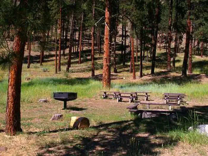 Hot SpringsCampground · 3 sites
Overview Hot Springs Campground is located just east of Garden Valley, Idaho along the Banks-Lowman Highway at an elevation of 3169 feet.
- Howard Lake CampgroundCampground · not watchable
Howard Lake campground is located south of Libby on road 4779. The campground has 10 sites (3 pull thru's) including one host site with tables and fire rings.
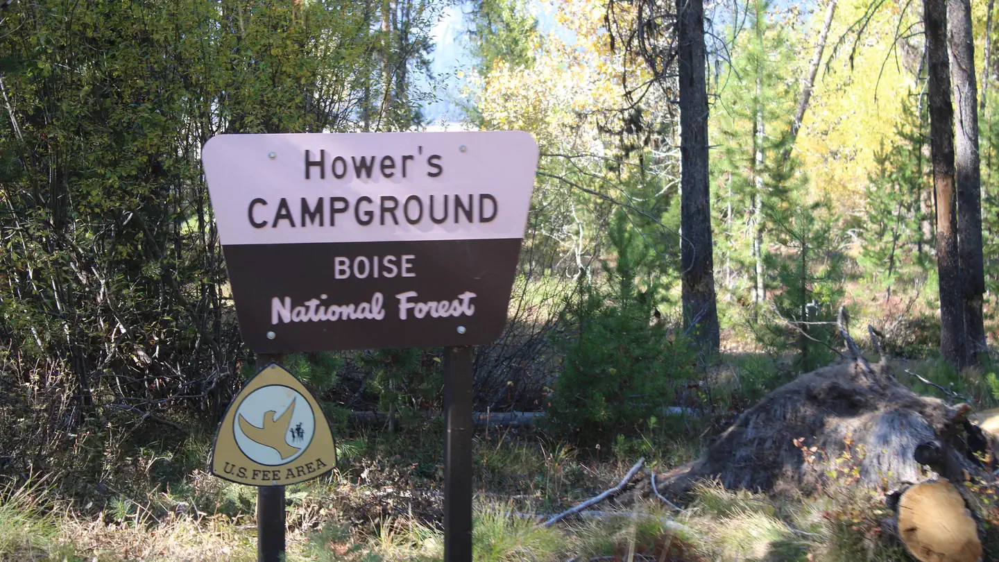 HowersCampground · 10 sites
Overview Howers Campground is located on the northeast shore of the scenic Deadwood Reservoir in western Idaho.
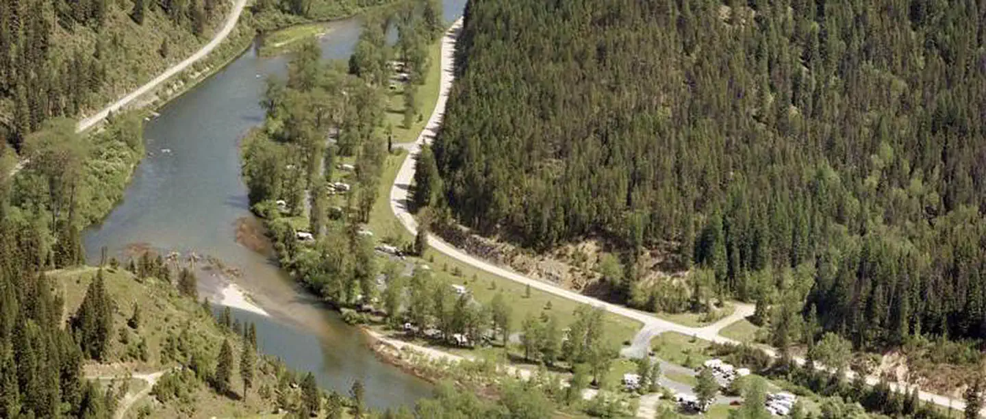 Huckleberry CampgroundCampground · 31 sites
Overview Huckleberry Campground is located along the shores of the St. Joe River, 29 miles east of St. Maries, Idaho on the St. Joe River Road.
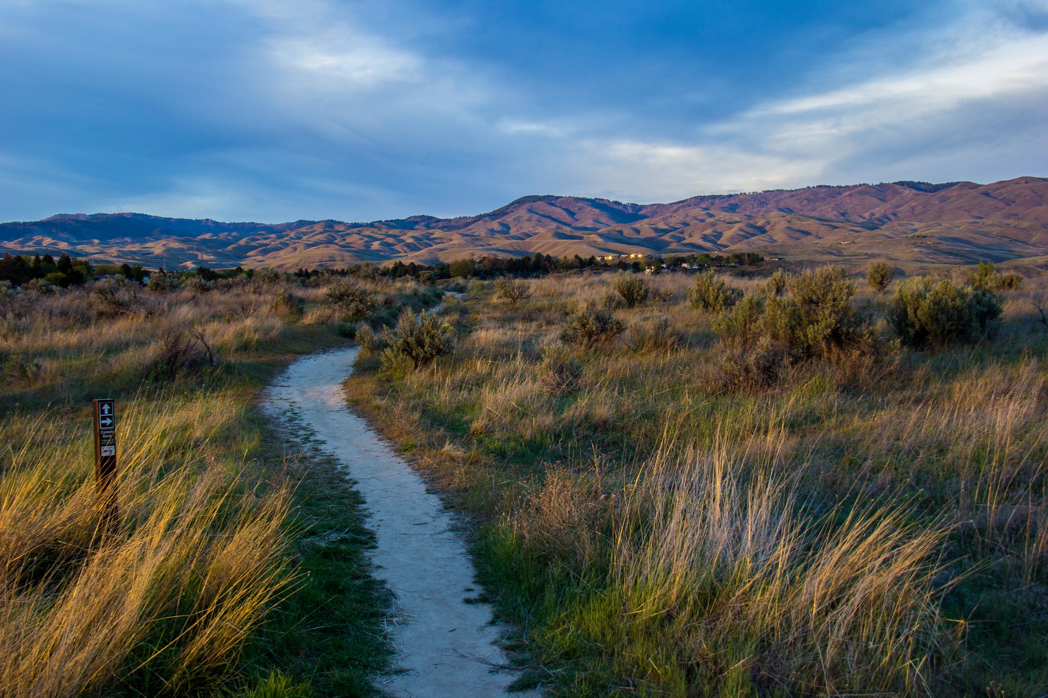 Hulls Gulch Interpretive TrailFacility · not watchable
Reconnect with the natural world outside the hustle and bustle of downtown Boise on the Hulls Gulch Interpretive Trail.
- Indian Crossing TrailheadFacility · not watchable
The Indian Crossing Trailhead is located at the 'end of the road' along the Wild and Scenic Imnaha River.
- Iron Lake CampgroundCampground · not watchable
Eight campsites with picnic tables and fire rings are along the shores of this high alpine lake.
- Isabella Landing TrailheadFacility · not watchable
This trailhead, located at the junction of Isabella Landing and FS Road 700, offers access to trail 297, the North Fork Downriver Trail.
- Isabella Point TrailheadFacility · not watchable
The Isabella Point Trailhead serves as the beginning to trail 95 which connects to trail 399, taking hikers/stock on a journey into the spectacular Mallard…
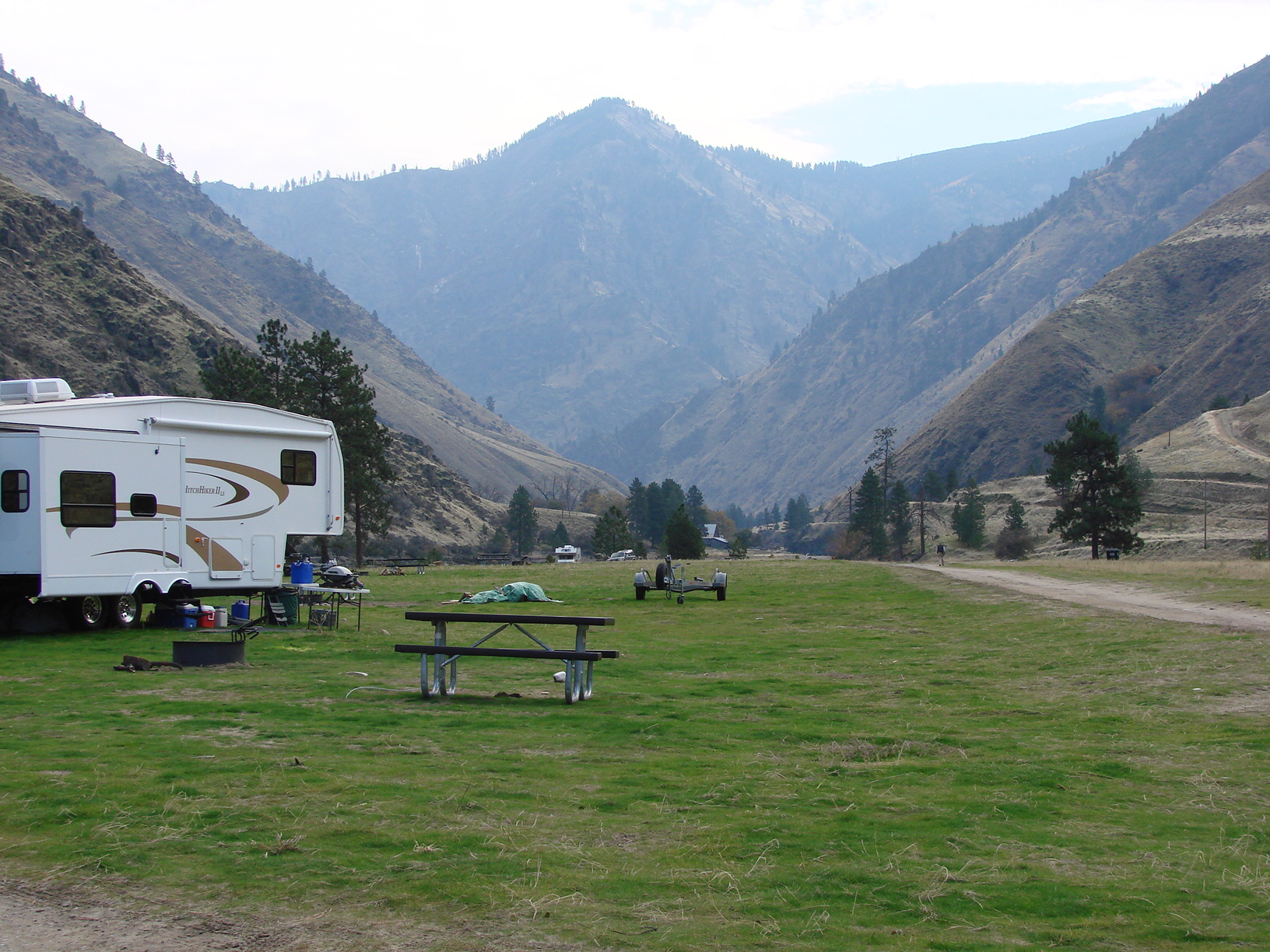 Island Bar Recreation SiteFacility · not watchable
The site is located on the Lower Salmon River. It is a frequent put-in spot for floating the Lower Salmon River via raft, kayak, or jet boat.
- Jackpine Flats CampgroundCampground · not watchable
The Jackpine Flats campground is located 20 miles south of Trout Creek on Beaver Creek road 152. The campground has 1 site with table and fire ring.
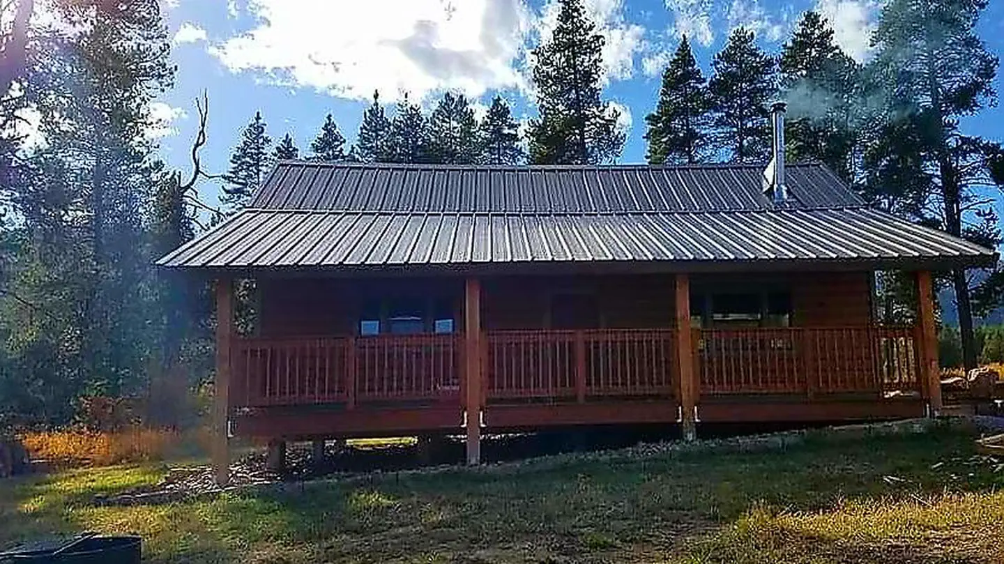 Jensen CabinCampground · 1 sites
Overview Jensen Cabin is located 13 miles from the town of Alpine, Wyoming, off the McCoy Creek Road.
- Jimmy Smith Lake TrailheadFacility · not watchable
This popular year-round fishing hole features a trailhead leading to Jimmy Smith Lake adjacent to the spectacular White Clouds and Jim McClure-Jerry Peak…
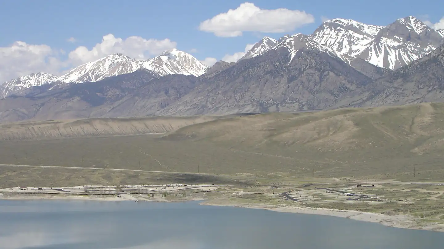 Joe T. Fallini Recreation SiteCampground · 28 sites
Overview The Joseph T. Fallini Campground, situated on the banks of the Mackay Reservoir, is the only recreational site in Challis Field Office that offers…
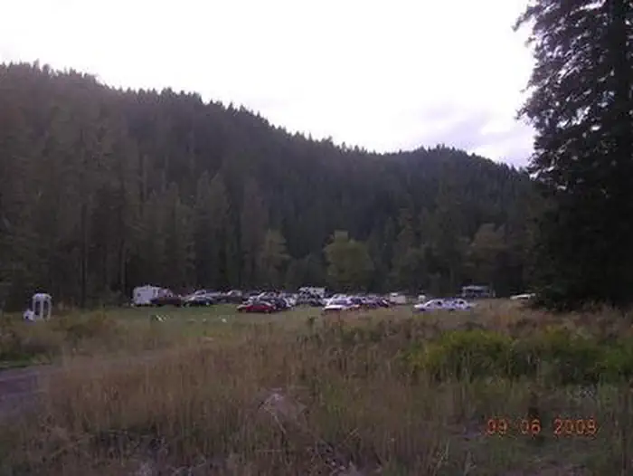 Johnson Bar Group SiteCampground · 1 sites
Overview Johnson Bar Group Site is situated in a large, open field along the Selway River.
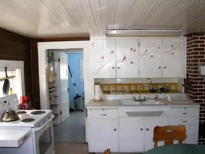 Johnson Creek Guard StationCampground · 1 sites
Overview Johnson Creek Guard Station was built in 1922 and offers a charming mountain respite with modern conveniences.
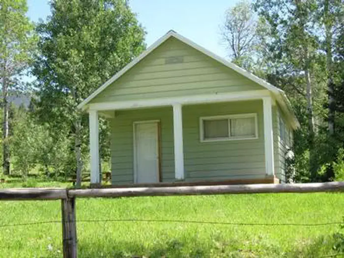 Johnson Guard StationCampground · 1 sites
Overview Johnson Guard Station is located 30 miles east of Soda Springs, Idaho, on a site that was established in 1910.
- Joseph Canyon ViewpointFacility · not watchable
The impressive view of Joseph Canyon can be seen from the Joseph Canyon Viewpoint.
- Julie Creek TrailheadFacility · not watchable
The Julie Creek Trailhead is a five-acre signed site with restroom, visitor information and loading/unloading ramp for ATVs.
- Junction Mountain TrailheadFacility · not watchable
Come see the spectacular 150' long wooden suspension pack bridge crossing Kelly Fork Creek just upstream from its junction with the North Fork Clearwater…
- Juniper Grove CampgroundCampground · not watchable
Juniper Grove Campground has 3 developed sites. This site provides access to the Jarbidge Willd and Scenic River.
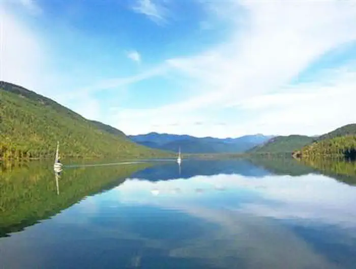 Kalispell Island Boat-in CampgroundCampground · 52 sites
Overview Surrounded by clear waters of Priest Lake, the 52 sites on Kalispell Island provide the ideal getaway for people looking for a rugged, but highly…
- Kelly CreekFacility · not watchable
The Kelly Creek area offers many opportunities for hiking, backpacking, camping, fly fishing, and a place to enjoy the quiet solitude beside a mountain stream.
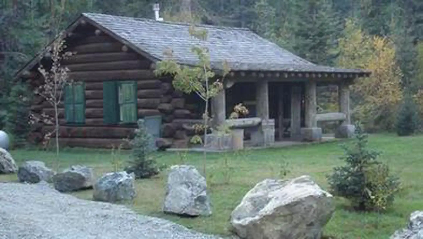 Kelly Forks CabinCampground · 1 sites
Overview Kelly Forks cabin is located in a small clearing within an active forest service work center.
- Kelly Forks CampgroundCampground · not watchable
Tucked away in a heavily wooded, streamside location at the confluence of Kelly Creek and the North Fork of the Clearwater River in Northwest Idaho, is Kelly…
- Kelly Island CampgroundCampground · not watchable
Scenic, semi-developed camping in a cottonwood gallery forest along the South Fork of the Snake River with views of the Snake River Range foothills.
- Kilbrennan Lake CampgroundCampground · not watchable
Kilbrennen Lake Campground is located northwest of Troy on Kilbrennen Lake road 2394. The Campground 7 sites with tables and fire rings.
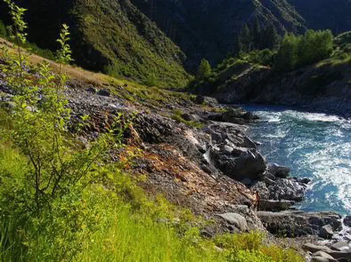 KirkhamCampground · 16 sites
Overview Kirkham Campground is located next to the South Fork Payette River just east of Lowman, Idaho, along Highway 21 at an elevation of 4,000 feet.
- Kirkham Ridge Trailhead (Bull Trout)Facility · not watchable
The Kirkham Ridge Trailhead (Bull Trout) includes a registration box and loading/unloading ramp for animals.
- Kirkwood RanchFacility · not watchable
The Kirkwood Historic Ranch is an area rich in river history from early Native American occupation to pioneer ranching life.
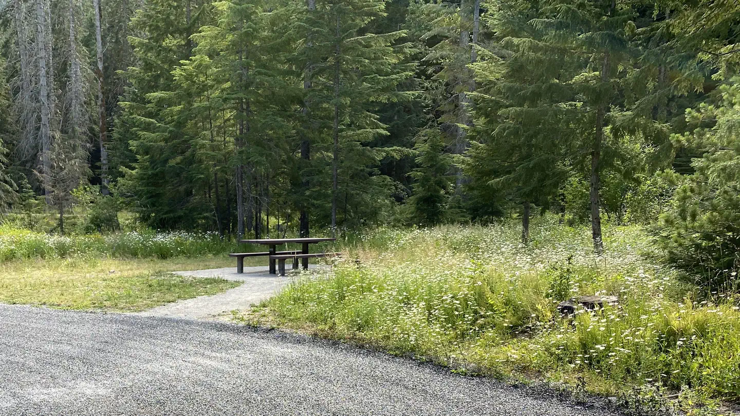 Kit PriceCampground · 56 sites
Overview Kit Price is a beautiful campground overlooking the North Fork Coeur d'Alene River.
- Kiwanis CampgroundFacility · not watchable
This is a one-unit dispersed camping area along Mann Creek. It is next to the road so it can be noisy and dusty. There is no potable water available at the…
- Koocanusa AreaFacility · not watchable
The Koocanusa Area is primarily centered along a narrow 90 mile long Koocanusa Reservoir, formed by Libby Dam.
- Kooskooskia Meadows TrailheadFacility · not watchable
Just 15 miles off of the Northwest Passage Scenic Byway and All American Road (US Highway 12), is one of the forest's more obscure trails, but also one of the…
- Laird Park CampgroundCampground · not watchable
Laird Park Campground, located in the northwest Idaho town of Potlatch and named in memory of A.W.
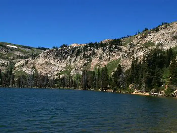 Lake Cleveland - East SideCampground · 7 sites
Overview Lake Cleveland Campground is a very popular summer recreational facility.
- Lake Creek CampgroundCampground · not watchable
The Lake Creek Campground is located approximately 32 miles southwest of Libby off the West Fisher road.
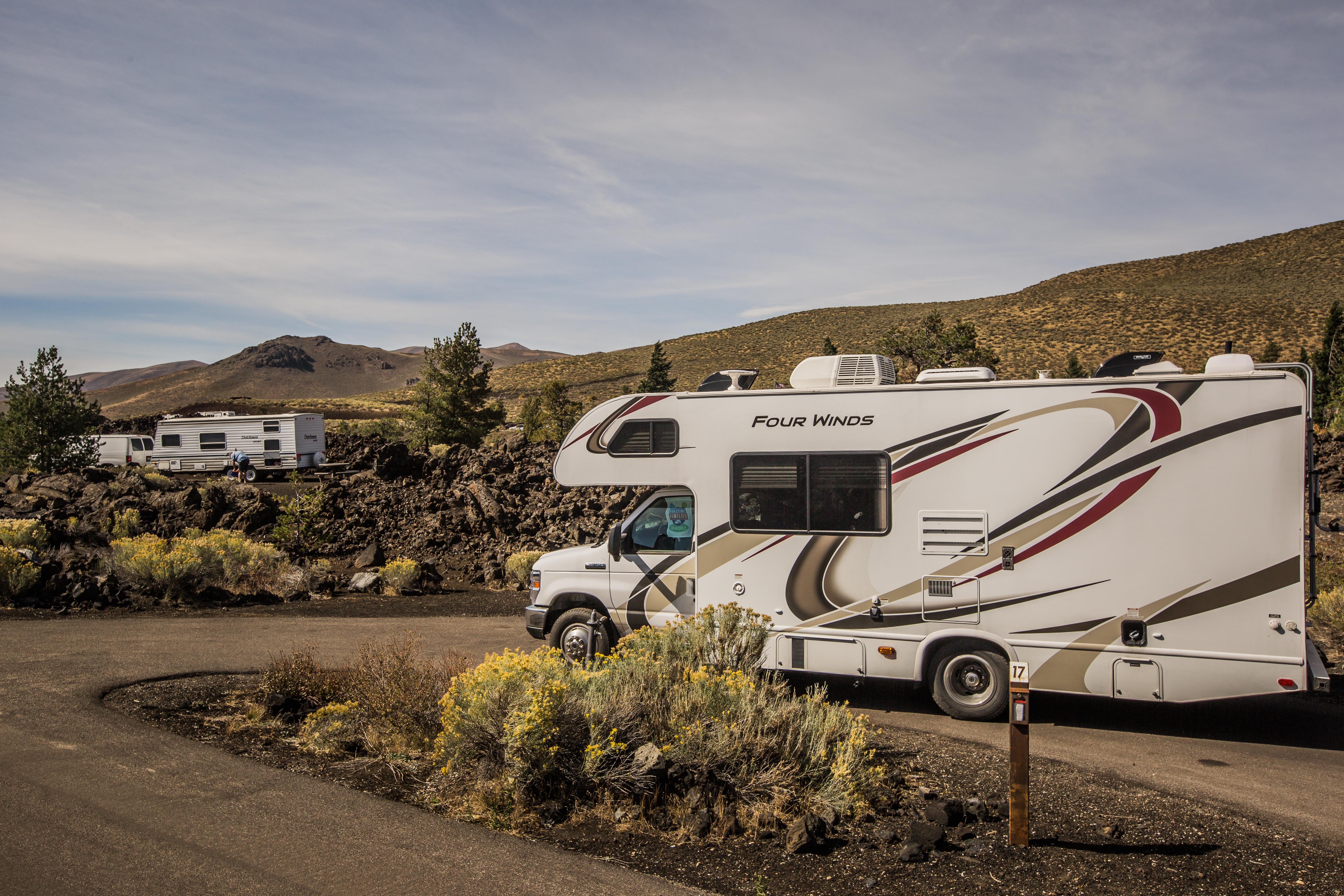 Lava Flow CampgroundCampground · not watchable
The Lava Flow Campground is a 42-site campground accessible by automobile from May through November depending on snow conditions.
- Libby AreaFacility · not watchable
The Libby Area has the Kootenai River from Libby Dam to Troy running through the heart of it. The Kootenai River is identified as a “blue ribbon trout stream”.
- Little Boulder CampgroundCampground · not watchable
Located only 40 miles east of the town of Moscow, Idaho, Little Boulder Campground rests next to the Potlatch River in a heavily forested and richly vegetated…
- Little Camas Boat RampFacility · not watchable
Update: June of 2015. The reservoir is so low that the boat ramp is on dry land. There is not enough water in the reservoir for a motor boat.
- Little GemFacility · not watchable
Challenge your skills as you ride your motorcycle or OHV on a variety of terrains in this OHV play area.
 Little Guard LookoutCampground · 1 sites
Overview Little Guard Lookout, located about 9 miles north of Shoshone Camp, was one of the last remaining fire lookouts used in the Coeur d'Alene River area…
- Little Kettle Creek TrailheadFacility · not watchable
The Little Kettle Creek Trailhead is located along East Eagle Creek on the southern end of the Wallowa Mountains.
- Little Therriault LakeFacility · not watchable
The Little Therriault Lake campground is located 12.5 air miles from Fortine. The campground has 6 sites with tables and fire rings and able to accomodate up…
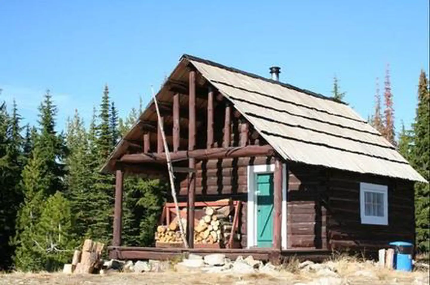 Liz Butte CabinCampground · 1 sites
Overview This facility is no longer reservable. Recreation Facilities Natural Features Nearby Attractions
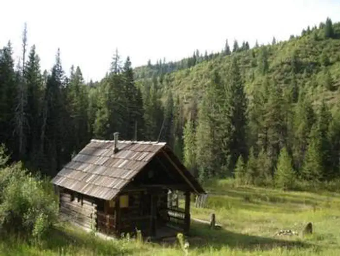 Liz Creek CabinCampground · 1 sites
Overview Liz Creek Cabin was built in 1929 in the remote backcountry as a Forest Service guard station and is eligible for the National Register of Historic…
- Logan State ParkFacility · not watchable
Logan State Park is located approximately 45miles southeast of Libby on Hwy 2, at Middle Thompson Lake.
- Lolo Creek CampgroundCampground · not watchable
Lolo Creek Campground consists of 9 camping units and is located 21 miles northeast of Kamiah, Idaho along the shores of Lolo and Eldorado Creek.
- Lolo Pass Visitor CenterFacility · not watchable
The Lolo Pass Visitor Center, constructed in 2003, echoes the log-built architecture of historic Forest Service ranger stations of the past.
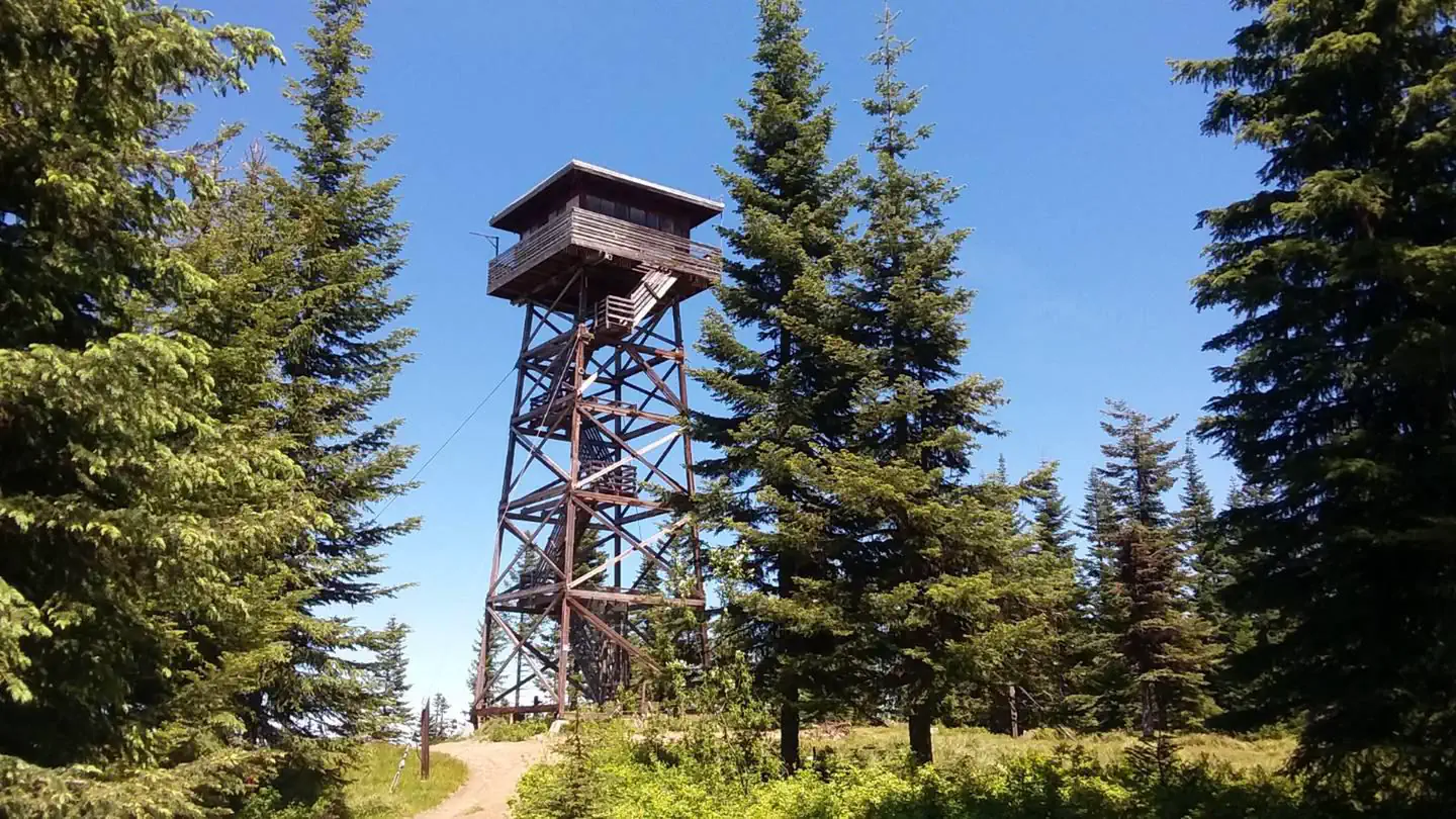 Lookout Butte LookoutCampground · 1 sites
Overview Lookout Butte has a history that spans nearly 80 years and has been home to three lookout towers.
- Loon Lake CampgroundCampground · not watchable
The Loon Lake campground is approximately 20 miles northwest of Libby on raod 471.
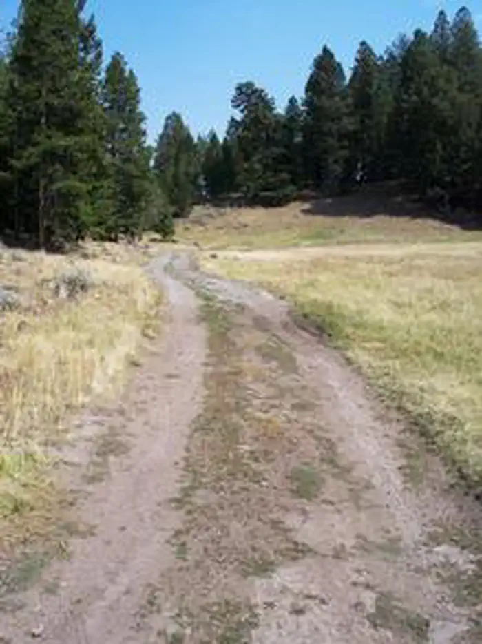 Loristica Group CampgroundCampground · 1 sites
Overview Loristica Group Campground is located in a wooded meadow high in the Lost Creek Range, in eastern Idaho. It sits at an elevation of 8,100 feet.
- Lower Hull's Gulch TrailheadFacility · not watchable
The Lower Hulls Gulch Trailhead provides pedestrian trail users with an alternative access point to the Hulls Gulch Interpretive Trail and a short trail to the…
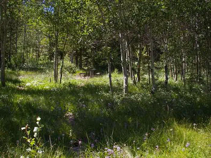 Lower PenstemonCampground · 6 sites
Overview Lower Penstemon Campground is located along the scenic Rock Creek Road, in southern Idaho, at an elevation of 6,600 feet.
- Lowman Ranger District and OfficeFacility · not watchable
Visit the Lowman Ranger District and explore the Deadwood Reservoir or Bear Valley for camping and fishing fun.
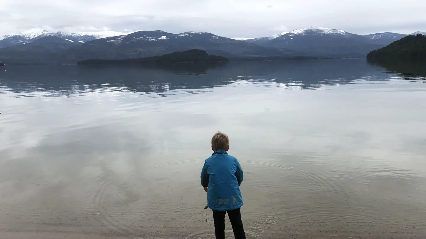 Luby BayCampground · 54 sites
Overview Luby Bay Campground is located near both Lamb Creek and Priest Lake. The campground is densely wooded with nicely secluded sites, and is within easy…
- Lucile Recreation SiteFacility · not watchable
This day use site on the Lower Salmon River is a frequent take-out spot for floating the river from Riggins by raft, kayak, jet boat or power boat.
 Lucky Peak Lake Tours and ProgramsTickets
Lucky Peak Dam was authorized in 1946 to provide flood risk management, irrigation storage, recreation, and environmental stewardship.
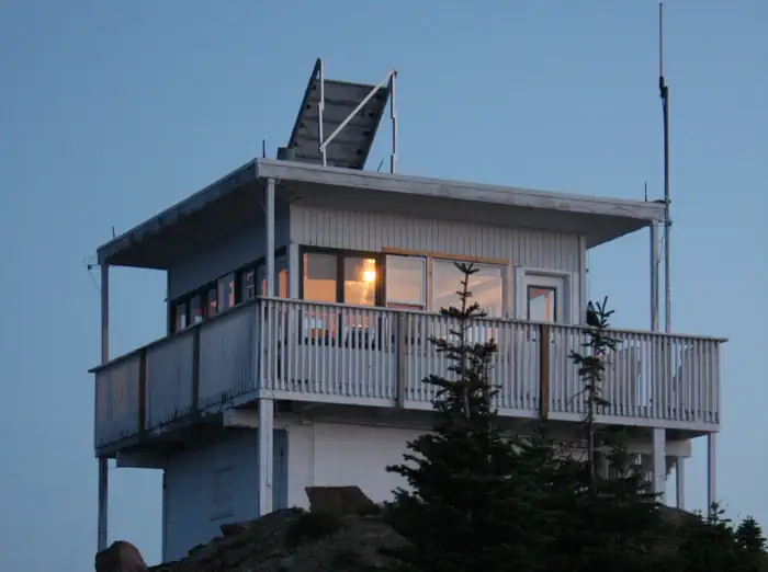 Lunch Peak LookoutCampground · 1 sites
Overview Lunch Peak lookout offers breathtaking views of Cabinet Mountain Wilderness, the Selkirk Mountains and Lake Pend Oreille.
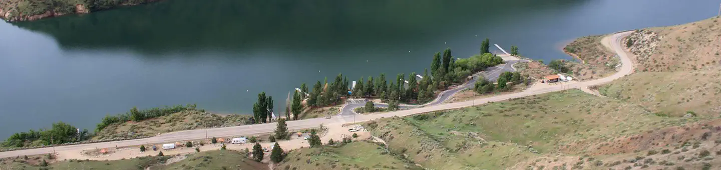 Macks Creek CampgroundCampground · 14 sites
Overview Macks Creek Campground is a very popular small campground just 25 miles from the Boise area along Arrowrock road off Highway 21 operated and managed…
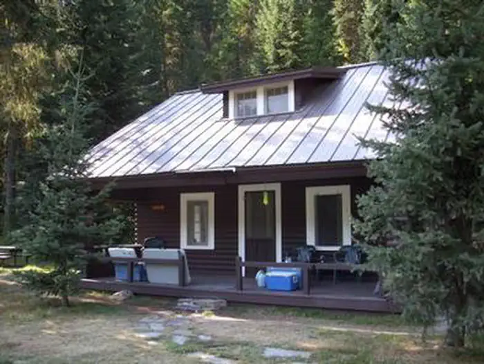 Magee Rangers CabinCampground · 1 sites
Overview The Magee Ranger's Cabin is a fully furnished 2-story cabin in the center of the Coeur d'Alene River Ranger District.
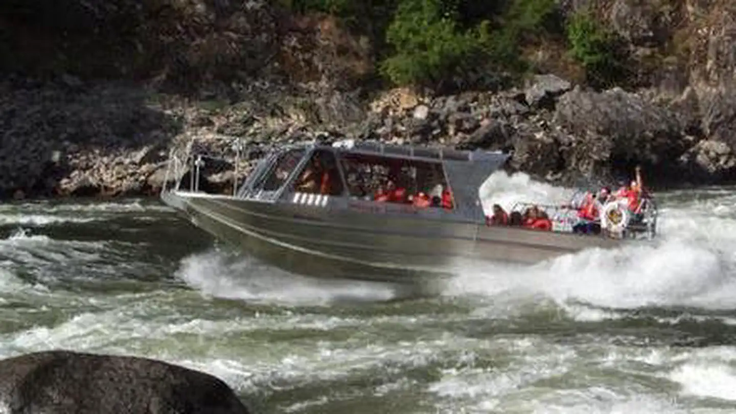 Main Salmon River (Powerboat)Permit
Overview: The Main Salmon Wild and Scenic River (Long Tom Bar to Corn Creek) offers powerboat users a fun, challenging and beautiful trip through a deep and…
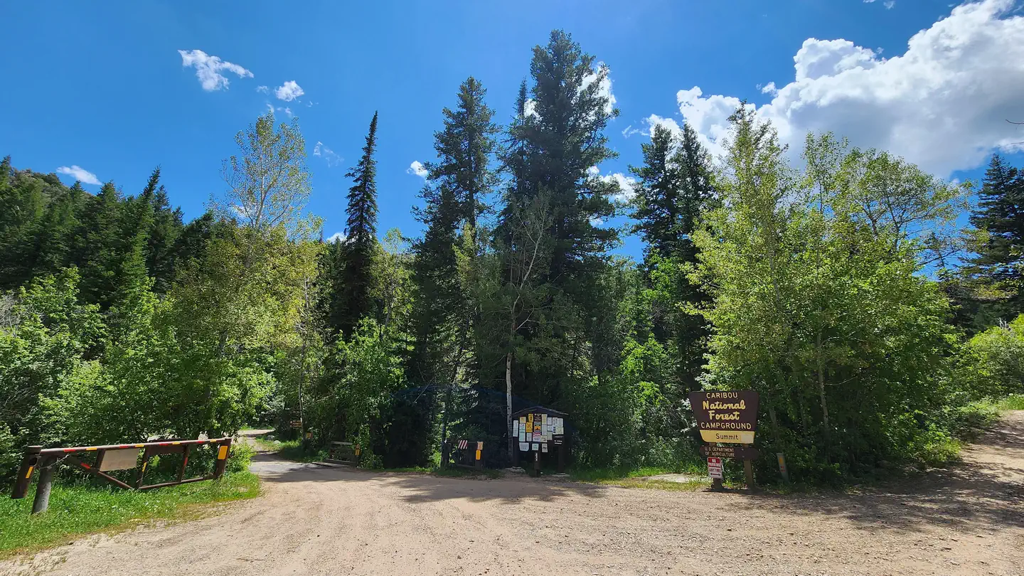 Malad Summit CampgroundCampground · 6 sites
Overview Malad Summit Campground is situated next to Mill Creek, just 14 miles north of Malad, Idaho, at an elevation of 6,100 feet.
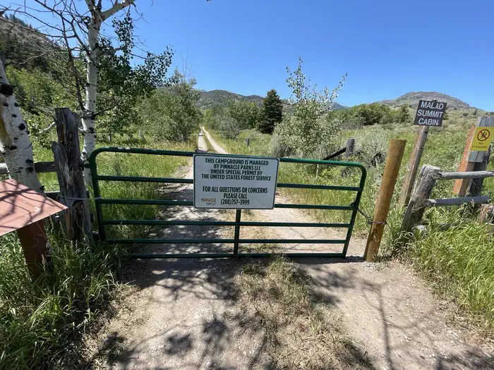 Malad Summit Guard StationCampground · 1 sites
Overview Malad Summit Guard Station is located 14 miles north of Malad, Idaho on Malad Pass just off I-15.
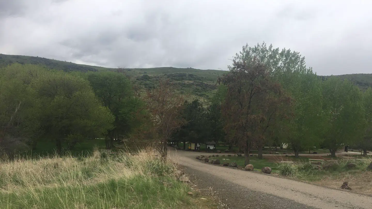 Mann Creek CampgroundCampground · 13 sites
Overview Mann Creek Campground is located near the Mann Creek Reservoir in the foothills of the West Central Mountains in western Idaho near the Payette…
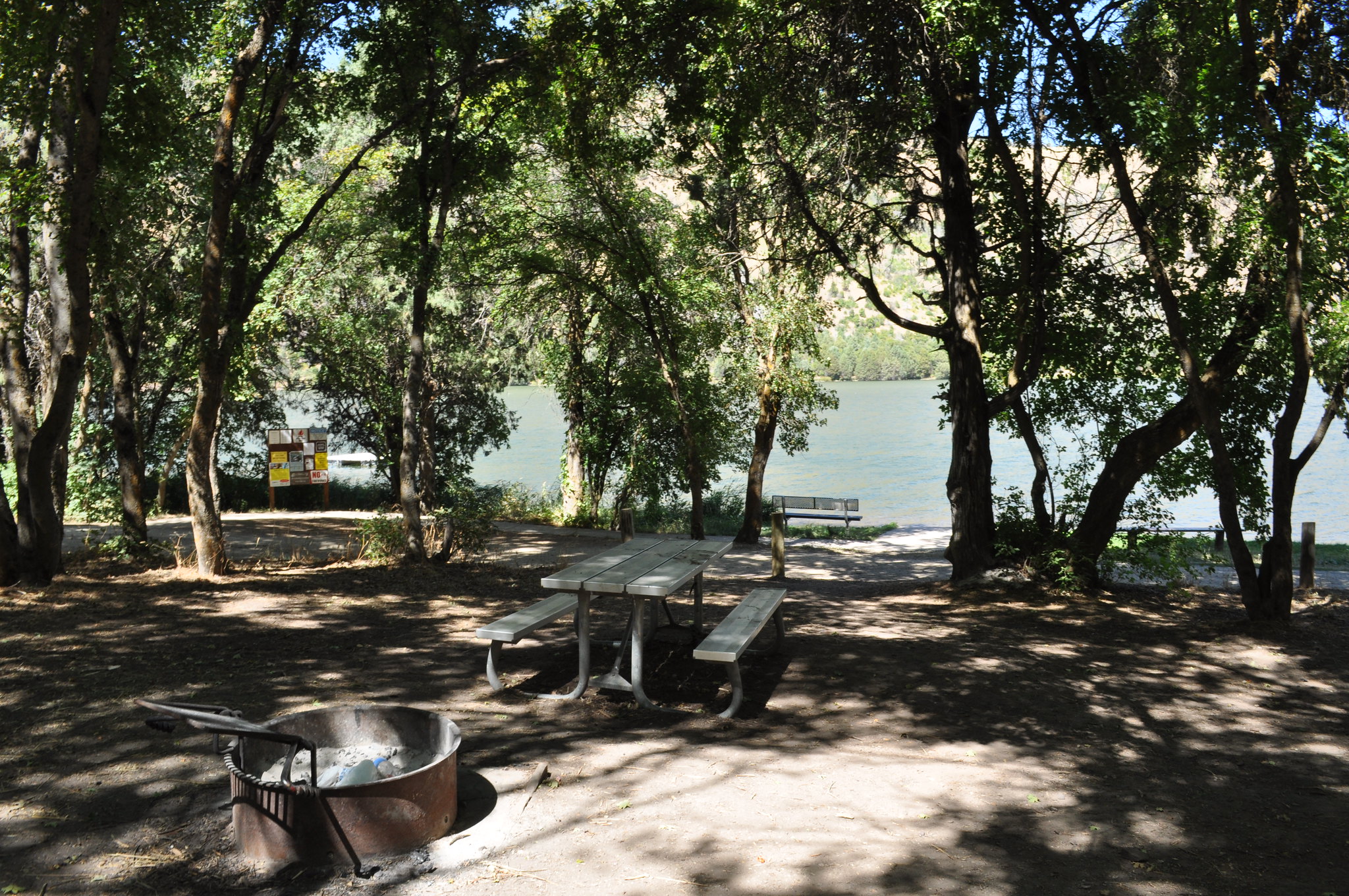 Maple Grove CampgroundCampground · not watchable
Campground rules and regulations are posted at the site. There are no dumpsters on site, visitors must pack in and out their trash.
- Marten Creek CampgroundCampground · not watchable
The Marten Creek Campground is located approximately 9 miles north of Trout Creek.
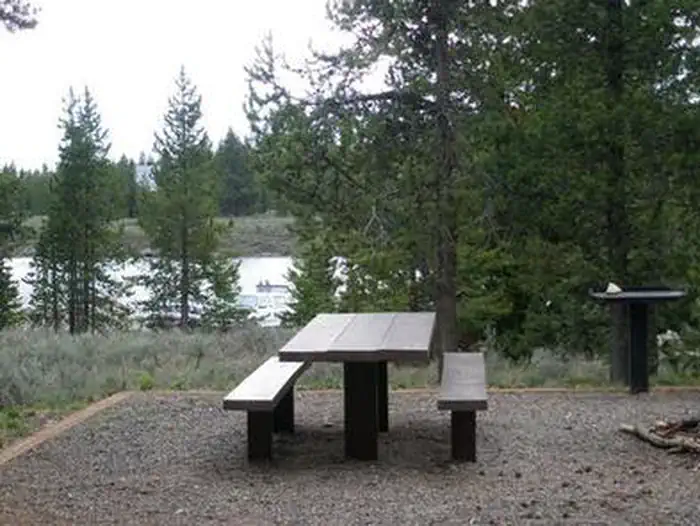 McCrea BridgeCampground · 25 sites
Overview McCrea Bridge Campground is located on the backwaters of beautiful Island Park Reservoir in Island Park, Idaho at an elevation of 6,200 feet.
 McFarland CampgroundCampground · 18 sites
Overview McFarland Campground offer 9 campsites for both RVs and tent camping along the Lemhi River.
- McFarland CampgroundCampground · not watchable
These 10 campsites are located on the banks of the Lemhi River and have excellent opportunities for fishing and camping.
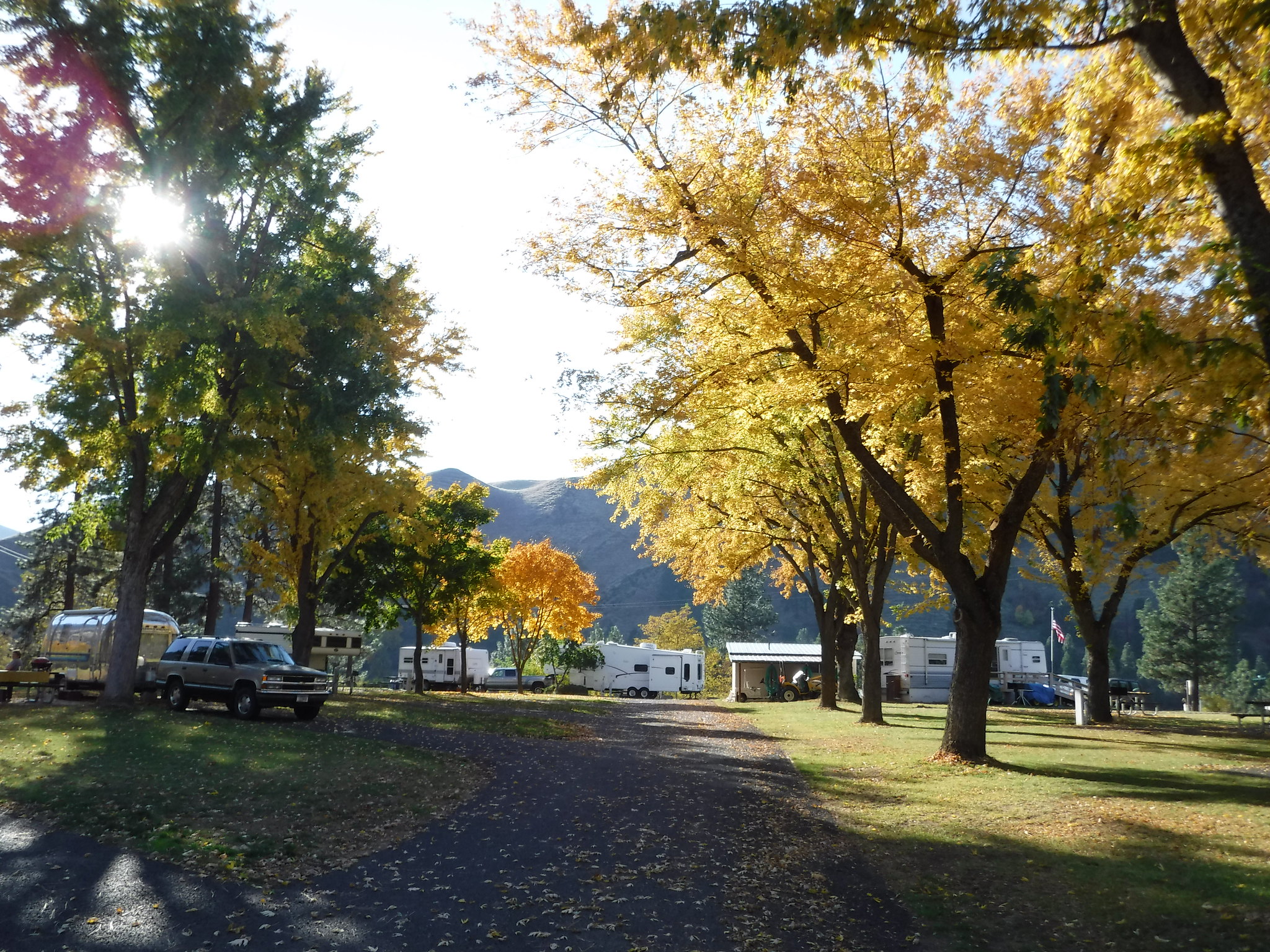 McKay's Bend Recreation SiteFacility · not watchable
Remember your OUTDOOR ETHICS when enjoying your public lands. Please RECREATE RESPONSIBLY.
- Meadow Creek CabinCampground · 1 sites
Overview Meadow Creek Cabin was originally built in the early 1920s and used as a guard station, which consists of five buildings.
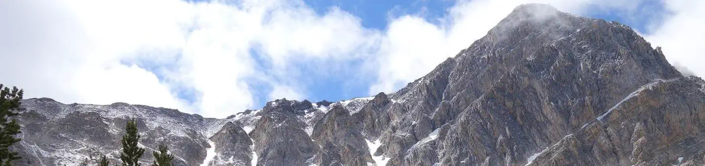 Meadow Lake CampgroundCampground · 2 sites
Overview Meadow Lake Campground is located on the Leadore Ranger District of the Salmon-Challis National Forest.
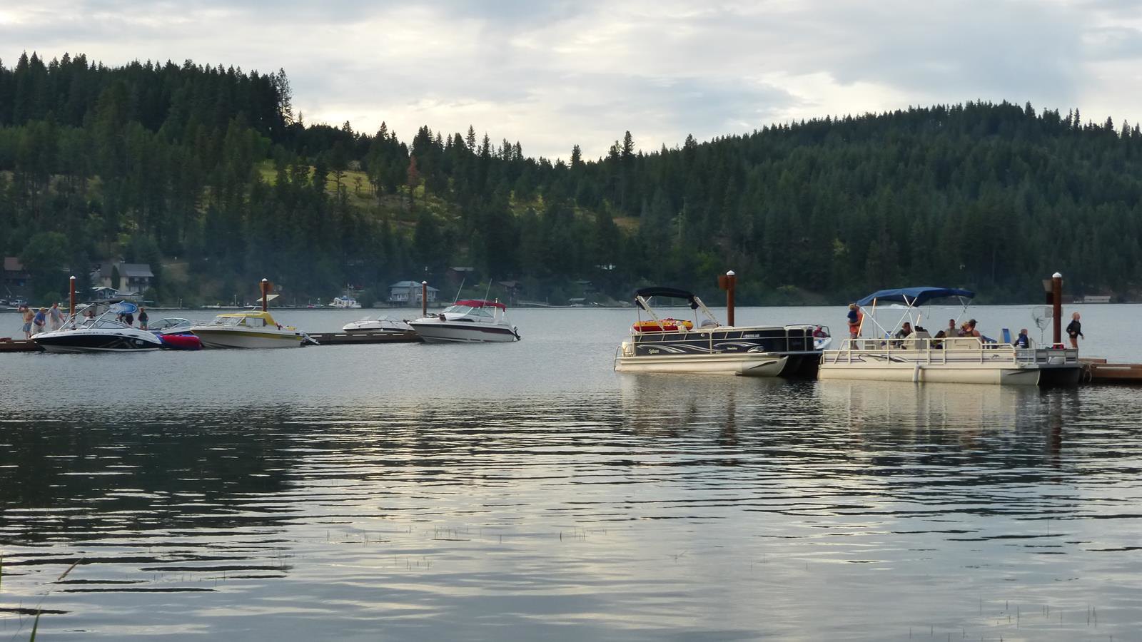 Mica Bay Boater ParkFacility · not watchable
Remember your OUTDOOR ETHICS when enjoying your public lands. Please RECREATE RESPONSIBLY.
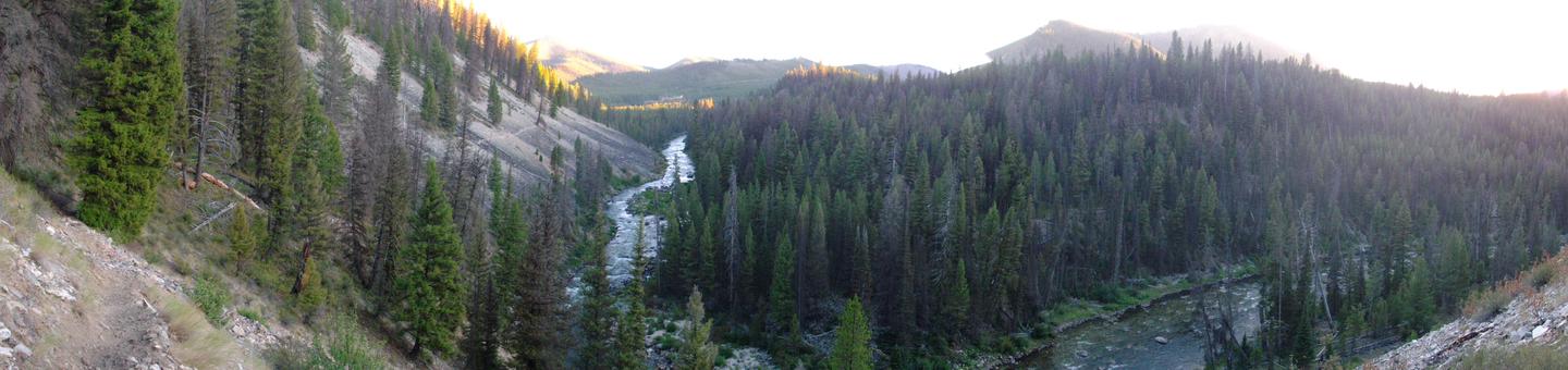 Middle Fork Of The Salmon (4 Rivers)Permit
Overview: Welcome to the remote and rugged mountains and rivers of Central Idaho. Each year, approximately 10,000 people float the Middle Fork of the Salmon…
- Middle Fork Payette River / Wet Foot TrailheadFacility · not watchable
The Middle Fork Payette River / Wet Foot Trailhead includes a hitching rack and information kiosk available as well as trailhead sign.
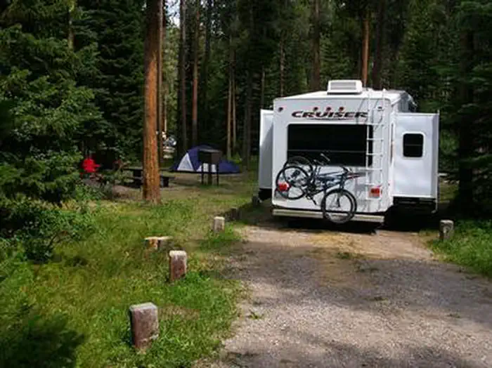 Mike HarrisCampground · 12 sites
Overview Mike Harris Campground is located along scenic Teton Pass, just 5 miles from Victor, Idaho at an elevation of 6,200 feet.
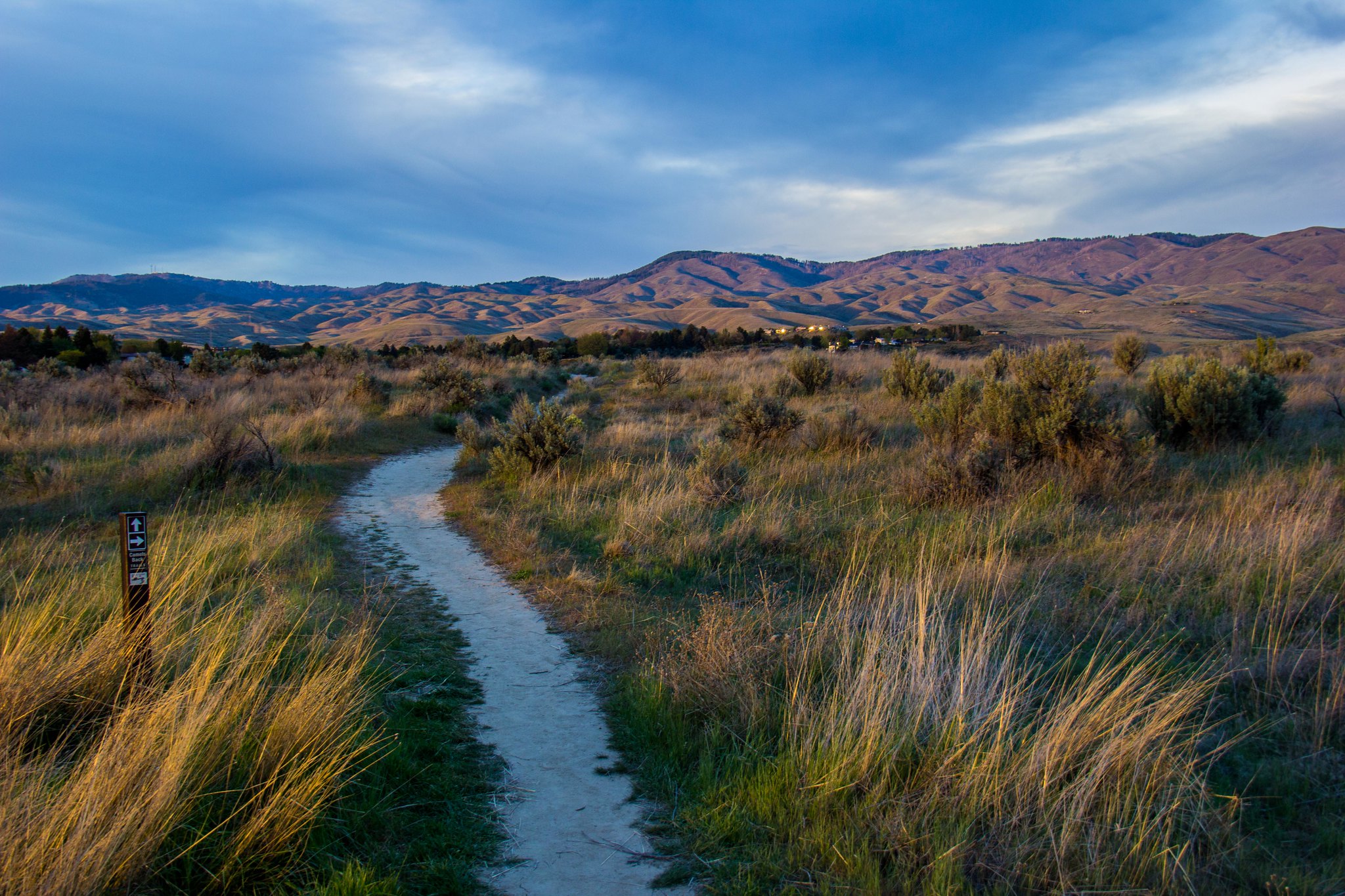 Miller Gulch TrailheadFacility · not watchable
Several trailheads in the Boise Foothills offer opportunities to link trails to create a hike or ride to suit your needs.
- Mineral Ridge Boat LaunchFacility · not watchable
Overview Payment of fees is encouraged by credit card or check; no cash please. Season passes are also available by calling 208-769-5000. This popular…
- Mineral Ridge Scenic Area and National Recreation TrailFacility · not watchable
The 3.3-mile trail was the first BLM recreation site developed in Idaho in 1963. In 1982, the trail was designed as a National Recreation Trail and offers an…
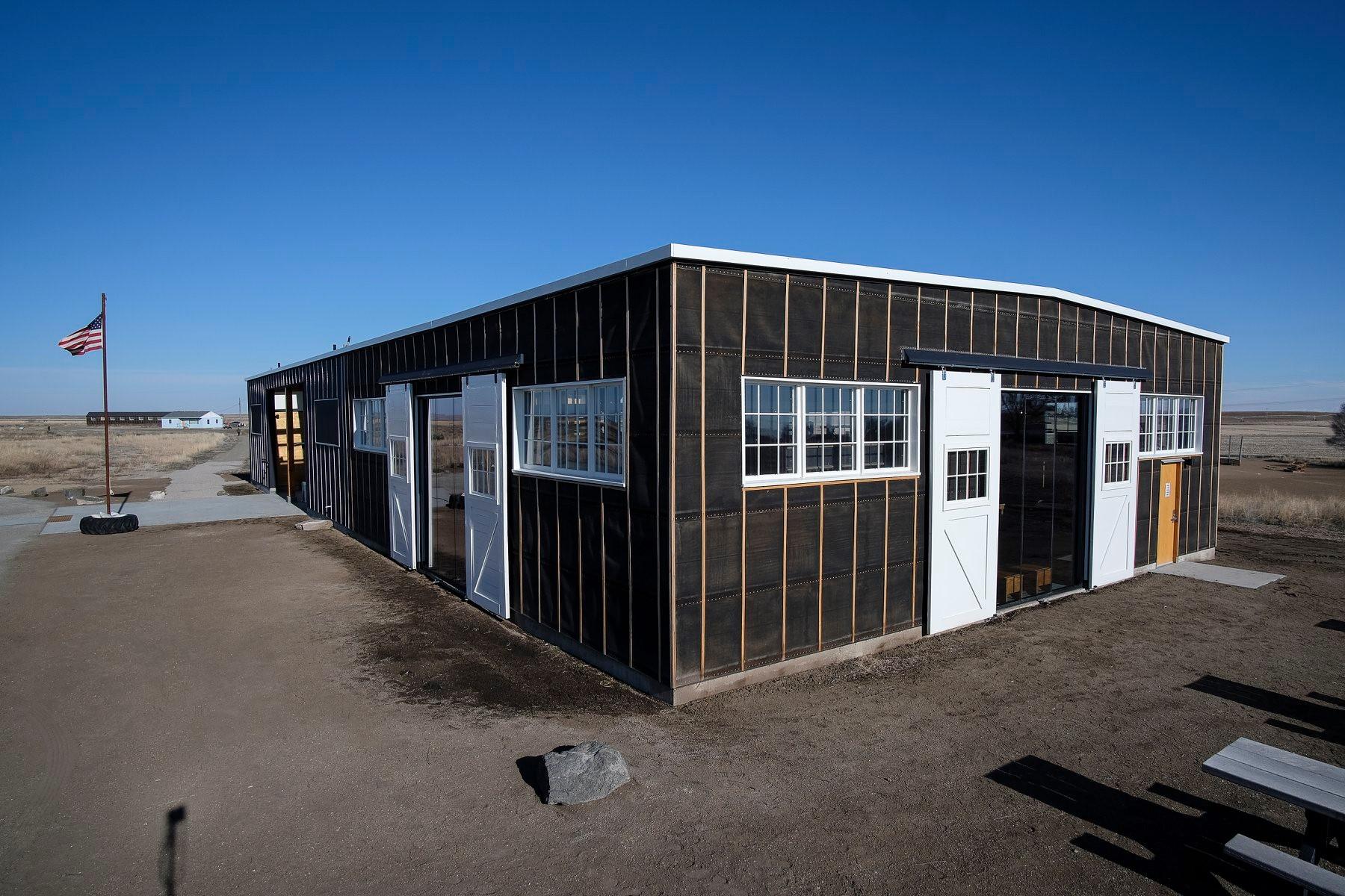 Minidoka Visitor CenterFacility · not watchable
Located at 1428 Hunt Road. Start here for visitor information, the passport stamp, the park film, museum exhibits, and the park bookstore.
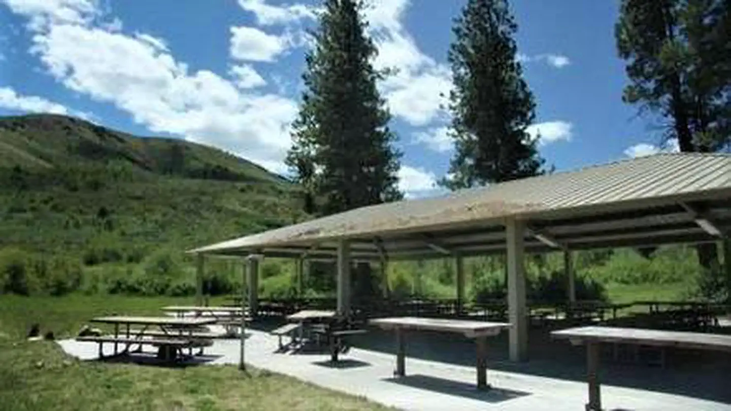 Mink Creek Group Site CampgroundCampground · 1 sites
Overview Mink Creek Group Site Campground is located just 12 miles south of Pocatello, Idaho, along the Bannock Highway.
- Mocus Point TrailheadFacility · not watchable
Fourty-six miles northeast of Lowell, at milepost 143 along the Northwest Passage Scenic Byway and All American Road (US Highway 12), visitors can witness the…
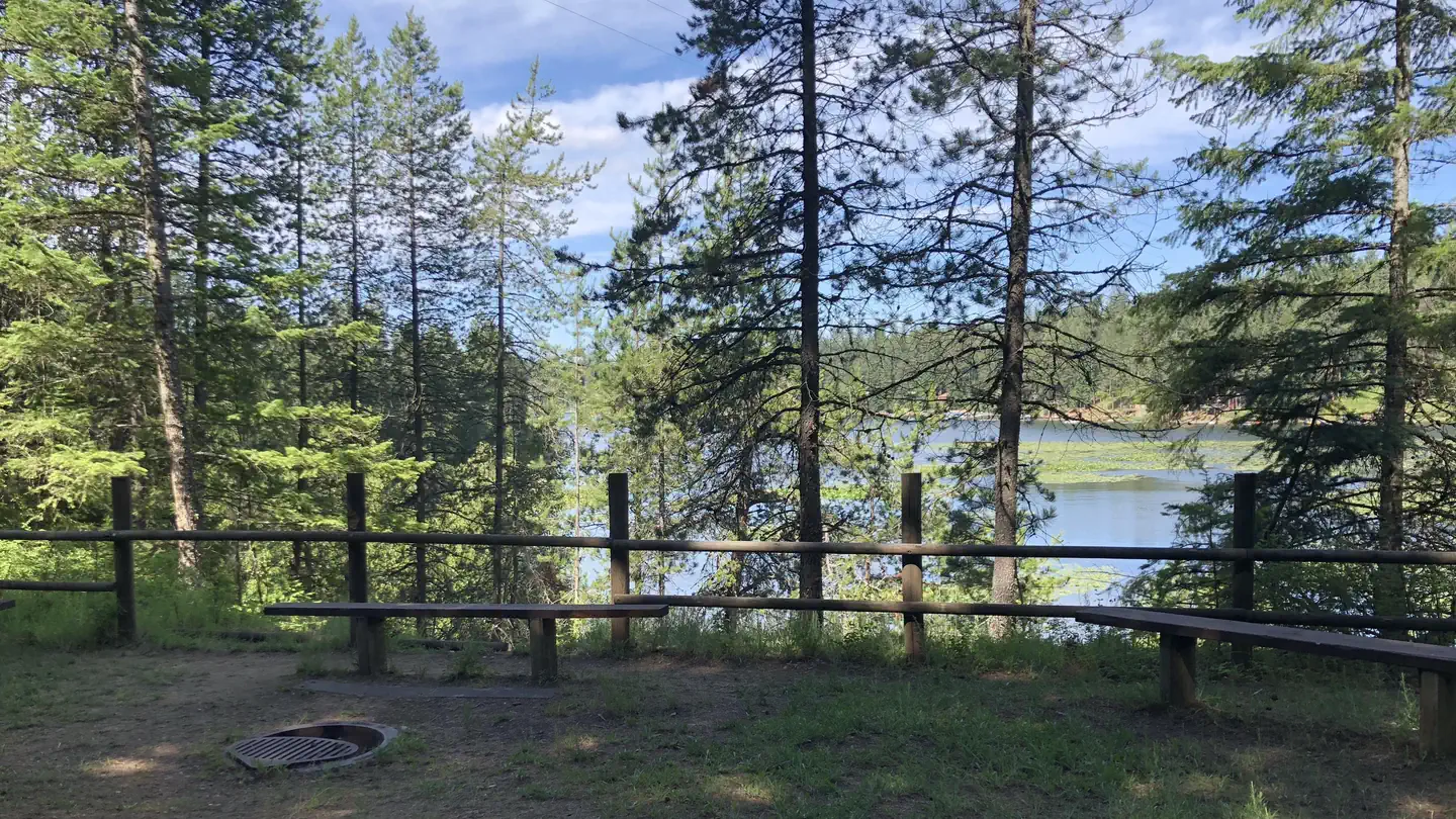 Mokins Bay CampgroundCampground · 15 sites
Overview Mokins Bay Campground is located near the eastern shore of Hayden Lake in northwest Idaho.
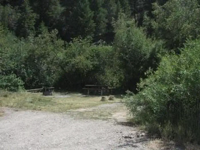 Montpelier Canyon CampgroundCampground · 15 sites
Overview Montpelier Canyon Campground provides a rustic camping opportunity next to Highway 89, along Montpelier Creek, at an elevation of 6,400 feet.
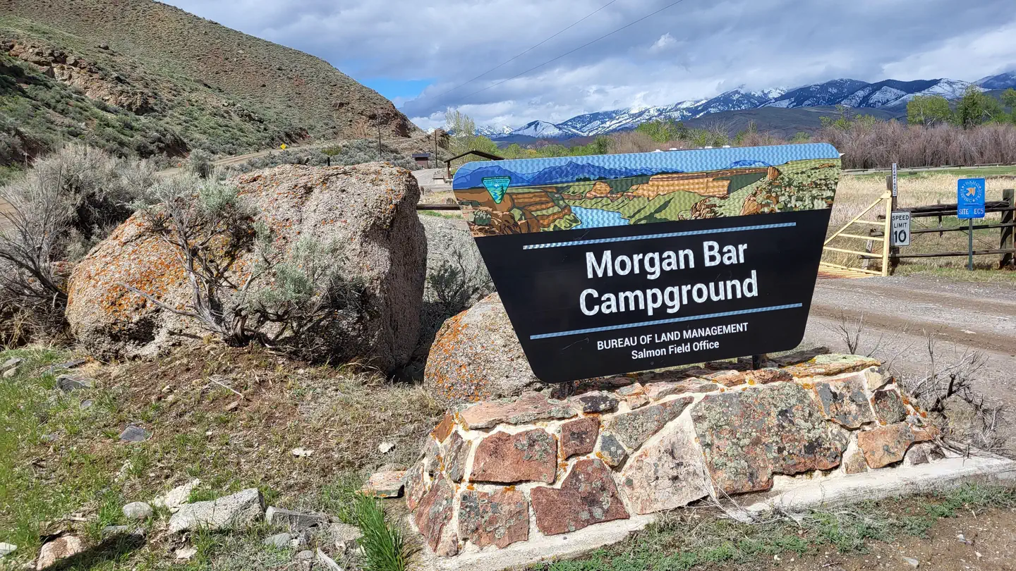 Morgan Bar CampgroundCampground · 16 sites
Overview Morgan Bar Campground offers RV-friendly and tent campsites with group facilities and a boat ramp.
- Moss Springs CampgroundCampground · not watchable
Located above Cove, Oregon, the Moss Springs Campground lies on a ridgeline within view of the Eagle Cap Wilderness and is next to Moss Springs Trailhead. This…
- Moss Springs TrailheadFacility · not watchable
Moss Springs Trailhead is located near the Moss Springs Campground on the edge of the Eagle Cap Wilderness.
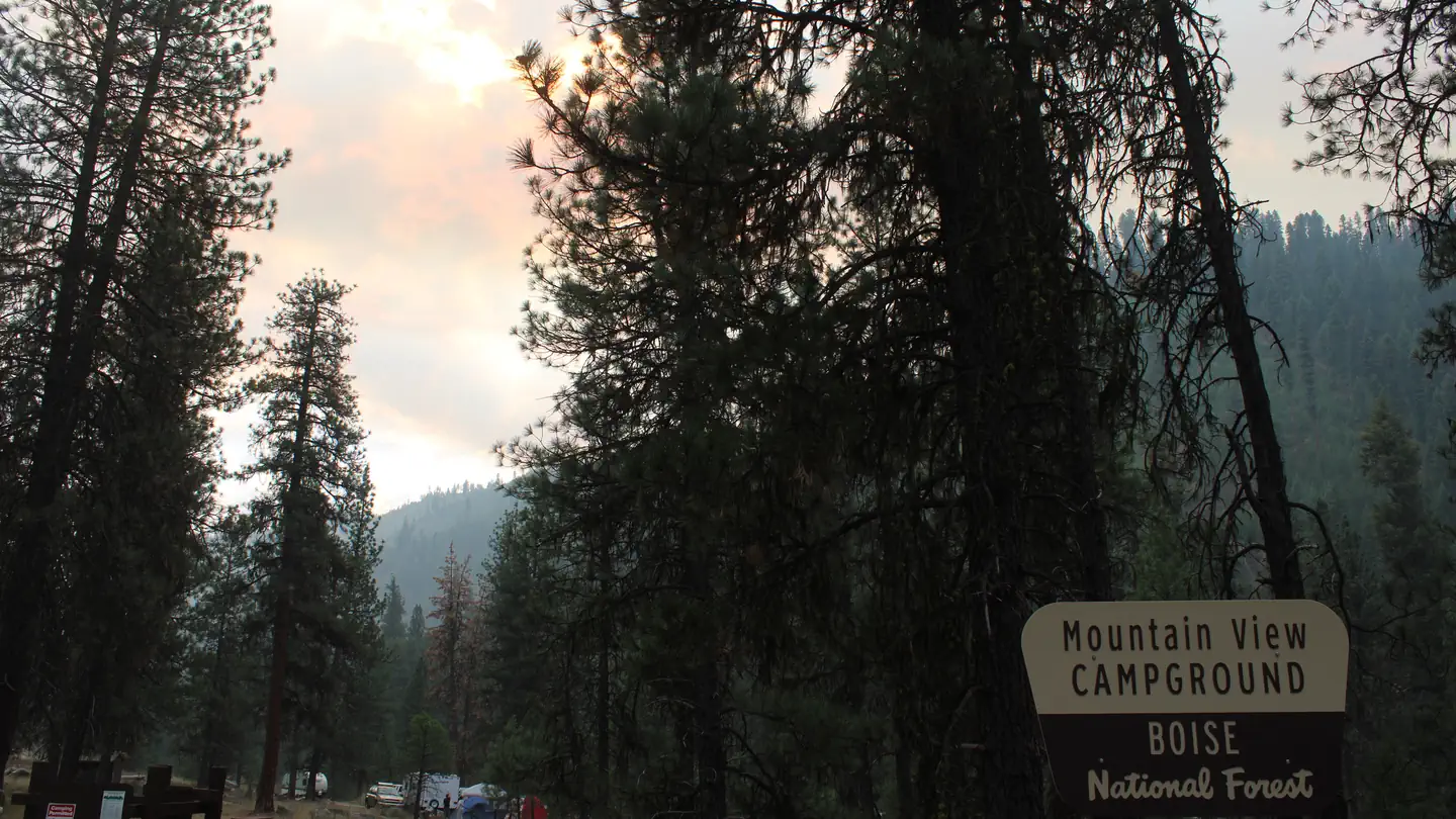 Mountain ViewCampground · 15 sites
Overview Mountain View Campground is located just east of Lowman, Idaho, along Highway 21 at an elevation of 3,900 feet.
- Musselshell MeadowsFacility · not watchable
Only 30 minutes southeast of the town of Pierce in north central Idaho, visitors will find Musselshell Meadows.
- Ninemeyer CampgroundCampground · not watchable
Overview: Due to a wildfire, there are no amenities at the campground. Currently there are no developed campfire rings therefore when Stage 1 fire…
- Noe Creek CampgroundCampground · not watchable
This six unit campground has an almost park-like aesthetic and is nestled in groves of fir and larch with views of the North Fork River.
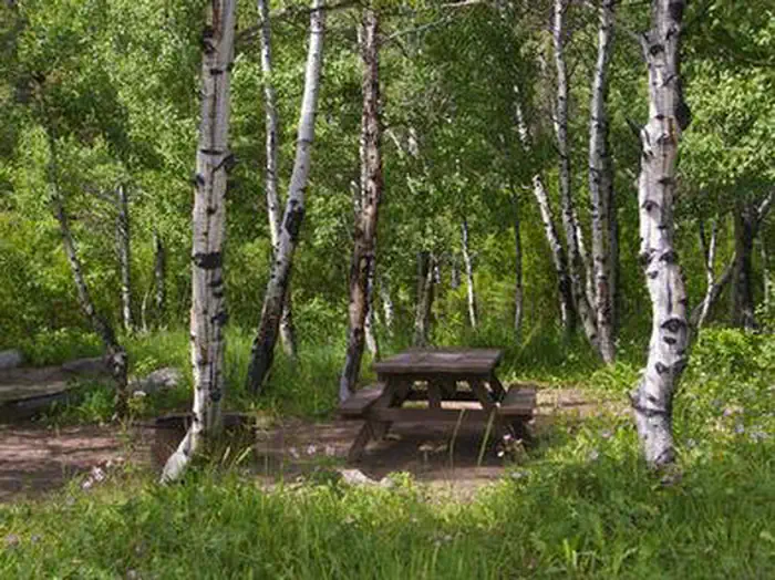 North Fork (Id)Campground · 28 sites
Overview North Fork Campground is situated on the banks of the beautiful Big Wood River at an elevation of 6,300 feet.
 North Fork CampgroundCampground · not watchable
A small popular semi-developed site offers camping and picnicking in the scenic beauty of the North Fork of the Owyhee River Canyon, much of which was…
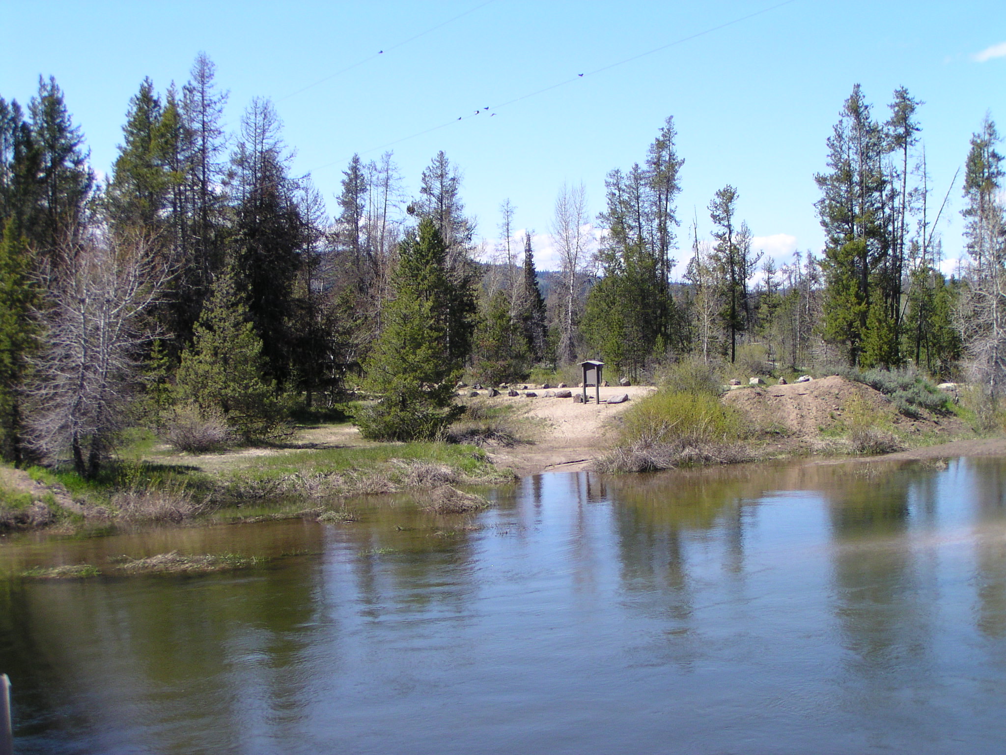 North Fork Payette Rec SiteFacility · not watchable
Whether you are just relaxing on the small sandy beach, swimming in its cool waters, or trying to coax a trout to the end of your line, the North Fork Payette…
- North Shore CampgroundCampground · not watchable
The North Shore Campground is located about 4 miles north of Trout Creek off Hwy 200 on North Shore Road.
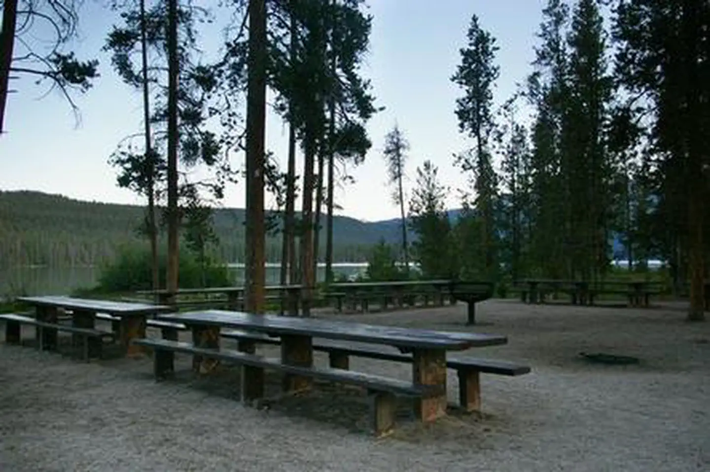 North Shore Picnic AreaCampground · 2 sites
Overview North Shore Picnic Area is located next to beautiful Redfish Lake at the foot of the Sawtooth Mountain Range.
- O'Hara Saddle CampgroundCampground · not watchable
O'Hara Saddle campground is at the edge of a meadow on an open ridge top. The campground is a nice location to park your OHV and camp for the night It provides…
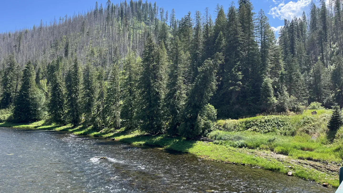 OharaCampground · 31 sites
Overview O'Hara Campground sits along the Selway River amid lush vegetation and old cedar trees.
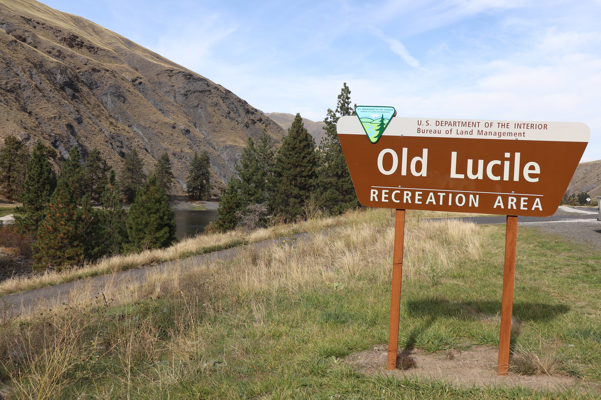 Old Lucile Recreation SiteFacility · not watchable
This site on the Lower Salmon River is a frequent take-out spot for floating the Lower Salmon River from Riggins to Old Lucile via raft, kayak, jet boat or…
- Orogrande Campground #1 and #2Campground · not watchable
Locally known as Orogrande #1 and 2, this campground occupies both sides of the road, one on the bank of Crooked River.
- Orogrande Summit CampgroundCampground · not watchable
Orogrande Summit is a developed campground with camp pads, all dispersed throughout open timber.
- Orphan Point SaddleFacility · not watchable
This is one of three primitive backcountry camp sites along Forest Road 301 on the south side of Widow Mountain Wilderness Study Area (WSA) and serves as the…
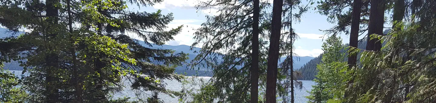 OspreyCampground · 15 sites
Overview Campers come to Osprey for sunshine and boating at Priest Lake, and for breathtaking views of the rugged Selkirk Mountains.
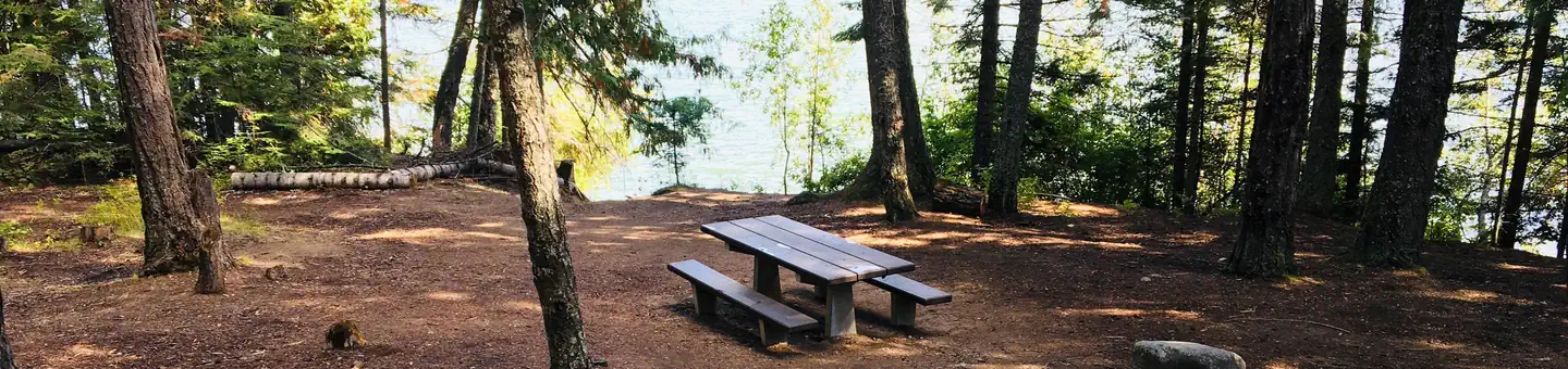 Outlet AT Priest LakeCampground · 27 sites
Overview Outlet campground is located on the southwest shore of Priest Lake at the headwaters of Priest River.
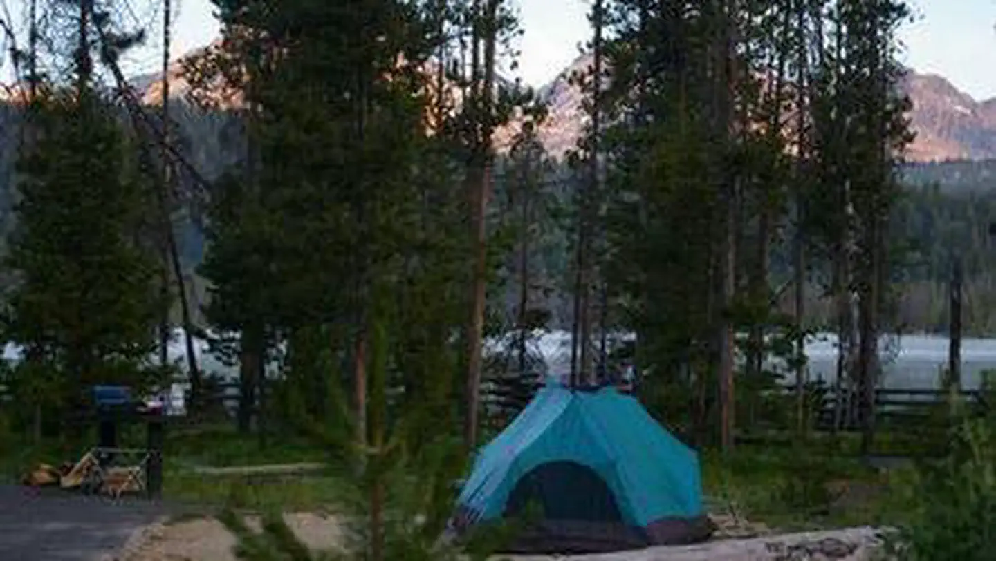 Outlet CampgroundCampground · 18 sites
Overview Outlet Campground is located next to beautiful Redfish Lake beneath the Sawtooth Mountain Range at an elevation of 6,500 feet.
- Oxbow CampsiteCampground · not watchable
Located on the bank of Newsome Creek, this campsite provides 1 solitary campsite for fishermen wishing to try their luck in Newsome Creek.
- PO Saddle TrailheadFacility · not watchable
The PO Saddle Trailhead provides access to the Summit Ridge - Western Rim National Recreation Trail #1774 and the southern end of the Hells Canyon Wilderness.
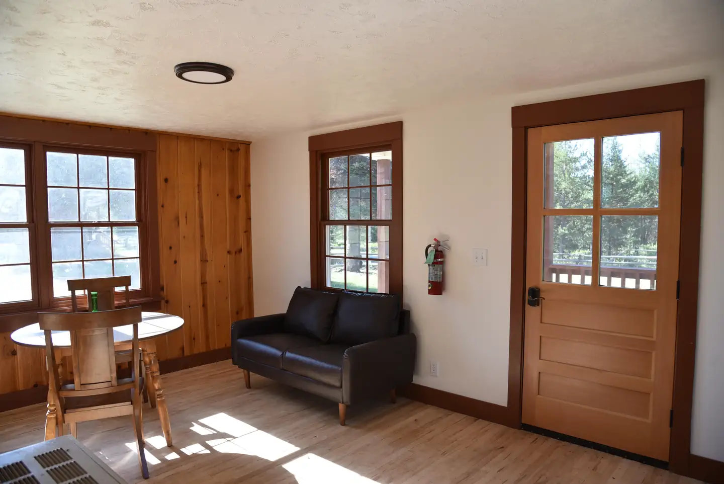 Paddy Flat Guard StationCampground · 2 sites
Overview The Paddy Flat Guard Station is located in the Payette National Forest of central Idaho.
- Palouse Divide Nordic Ski AreaFacility · not watchable
Only 42 miles north of the college town of Moscow, in north central Idaho, skiiers, skate skiiers and snowshoers alike will find groomed as well as backcountry…
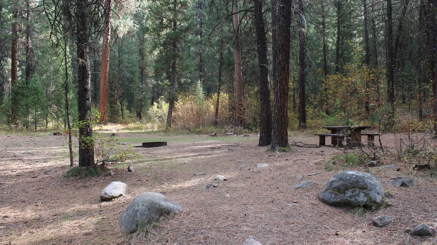 Park Creek (Idaho)Campground · 2 sites
Overview Park Creek Campground is located 4 miles from Lowman, Idaho, off the beaten path at the confluence of Park and Clear Creeks.
- Partridge Creek CampgroundCampground · not watchable
Northeast of the Elk Creek Reservoir, located in Elk River, Idaho, the Partridge Creek Campground offers 13 developed campsites, the new 3.5 mile Patridge…
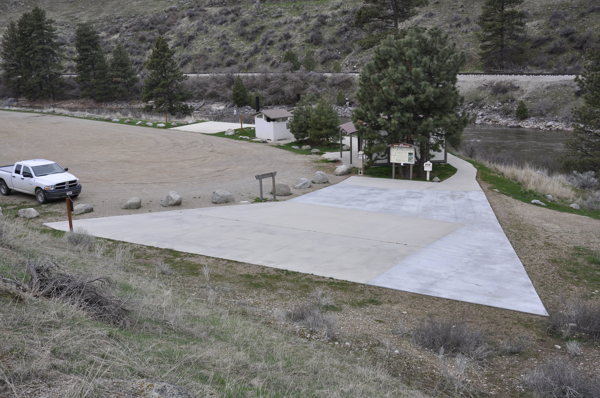 Payette River: Beehive BendFacility · not watchable
The Main Payette River is a classic Class III, pool-drop river cooperatively managed by the BLM and Boise National Forest.
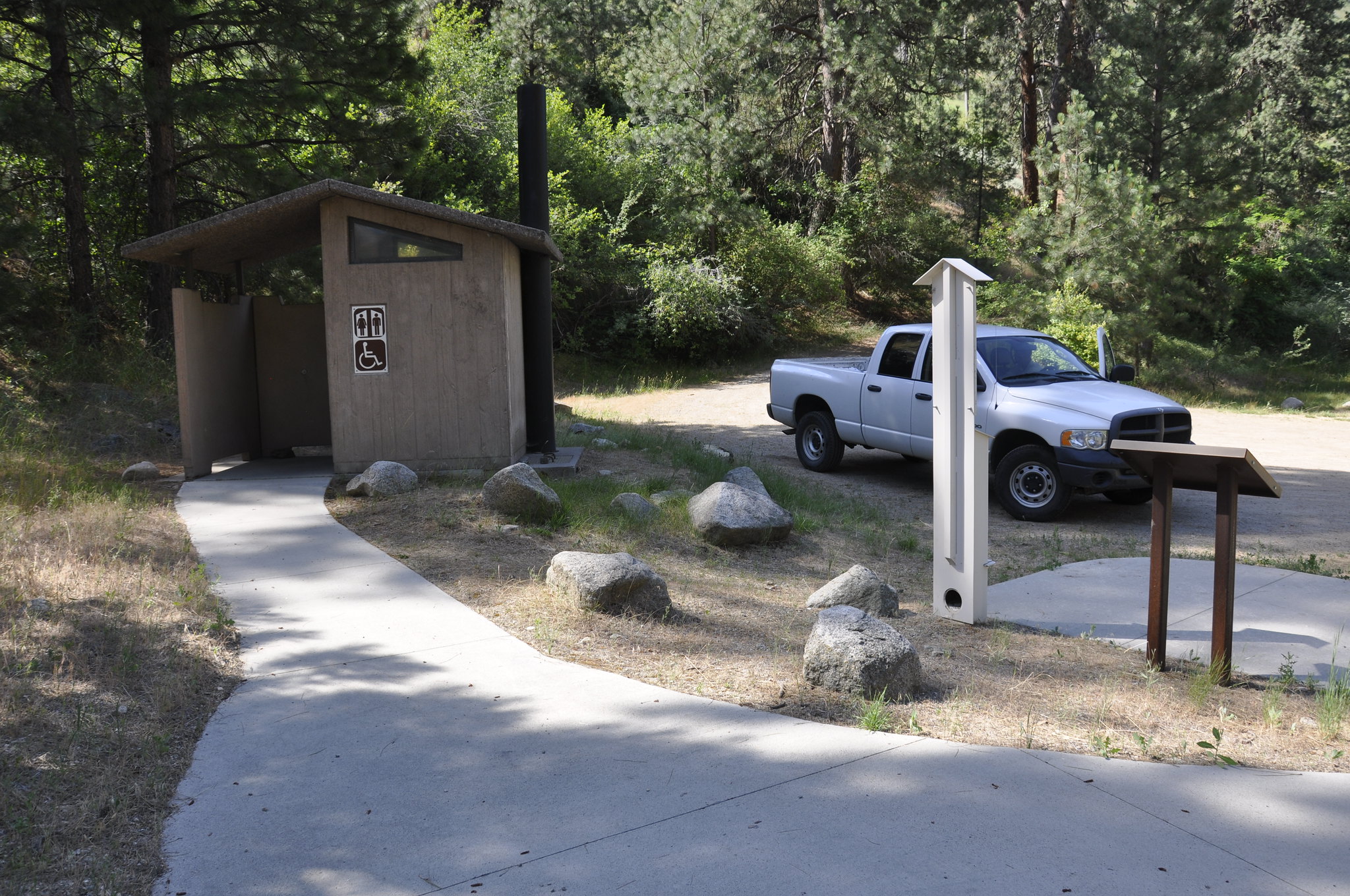 Payette River: Chief ParrishFacility · not watchable
The Main Payette River is a classic Class III, pool-drop river cooperatively managed by the BLM and Boise National Forest.
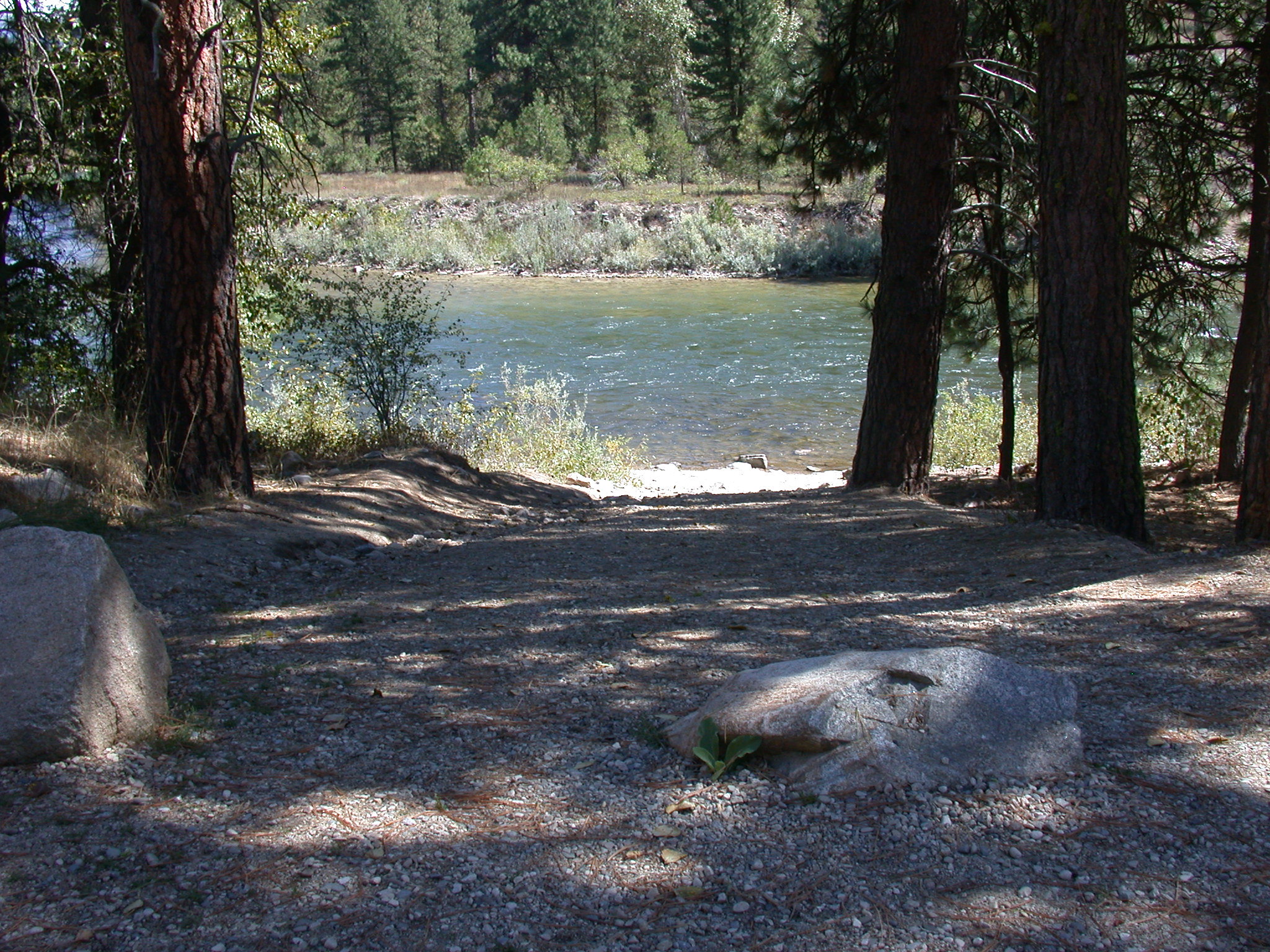 Payette River: ConfluenceFacility · not watchable
The South Fork Payette River is a classic pool-drop river cooperatively managed by the BLM and Boise National Forest.
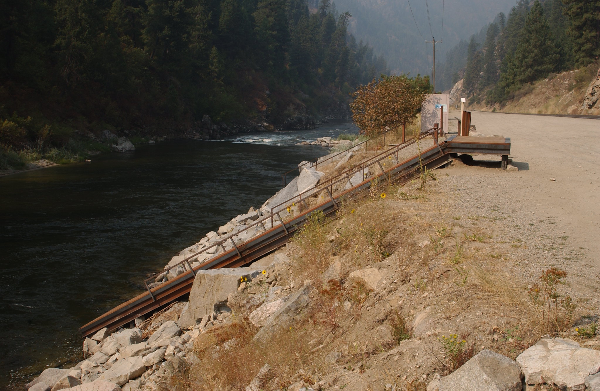 Payette River: Deer CreekFacility · not watchable
The South Fork Payette River is a classic pool-drop river cooperatively managed by the BLM and Boise National Forest.
 Peace Valley CampgroundCampground · 1 sites
Overview Peace Valley Campground sits just 27 miles north of Garden Valley, Idaho, at an elevation of 4591 feet.
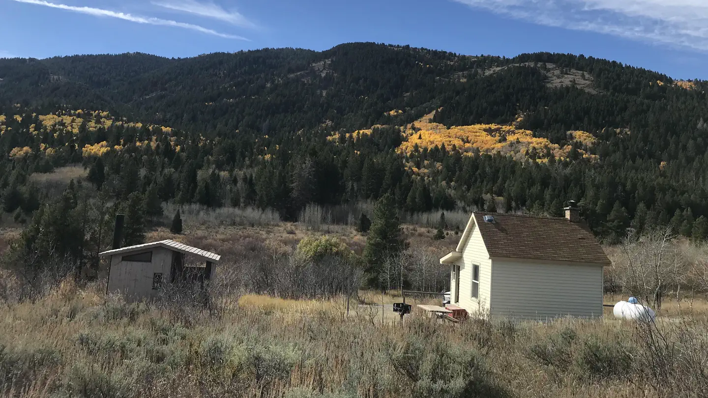 Pebble Guard StationCampground · 1 sites
Overview Pebble Guard Station is located at the base of Bonneville Peak along beautiful Pebble Creek, a tributary of the Portneuf River.
- Peck Gulch CampgroundCampground · not watchable
The Peck Gulch Campground is located 21 miles southwest of Eureka off Hwy 37. The campground has 22 campsites including one host site, with tables, fire rings…
- Pete Creek CampgroundCampground · not watchable
The Pete Creek Campground is located northwest of Troy on Yaak Hwy 508. The campground has 13 sites, including one host site, with tables and fire rings.
- Phi Kappa CampgroundCampground · not watchable
The campground has 21 campsites in a beautiful wooded setting. Amenities include one handpump to provide potable water (the natural color of which is rusty),…
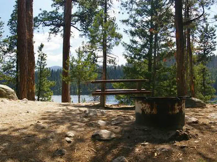 Picnic Point (Id)Campground · 8 sites
Overview Picnic Point Campground is located on a bluff overlooking beautiful Warm Lake, at an elevation of 5,300 feet.
- Pine Bar Recreation SiteFacility · not watchable
This site on the Lower Salmon River is a frequent put-in spot for floating the Lower Salmon River. Visitors can camp, fish and picnic here too.
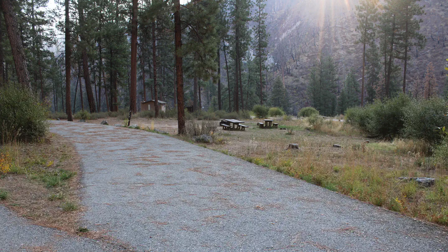 Pine Flats (Id)Campground · 26 sites
Overview Pine Flats Campground is located a few miles west of Lowman, Idaho, along the Banks-Lowman Highway at an elevation of 3,700 feet.
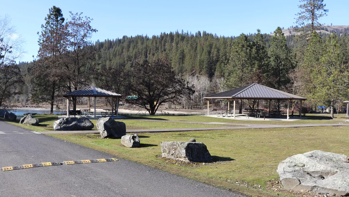 Pink House Day Use PavilionsCampground · 2 sites
Overview Located 5 miles west of Orofino, Idaho, the Bureau of Land Management’s Pink House Recreation Site includes a large, developed campground with an…
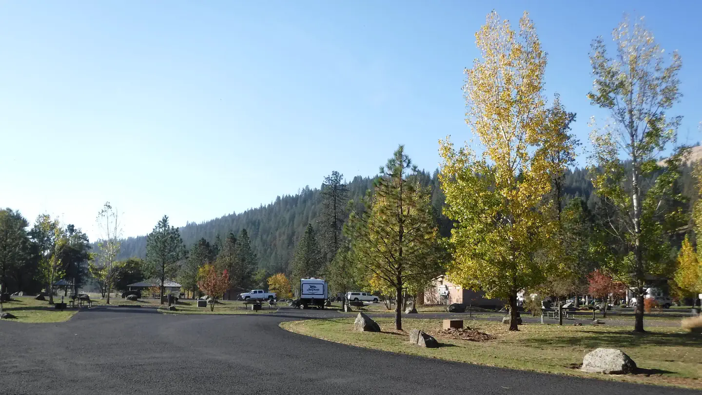 Pink House Recreation SiteCampground · 20 sites
Overview Pink House Recreation Site is a large developed site located approximately 5 miles west of Orofino, ID.
- Pittsburg CampgroundFacility · not watchable
Pittsburg Campground overlooks the Wild and Scenic Snake River in the Hells Canyon National Recreation Area.
- Pittsburg CampgroundCampground · 28 sites
Overview Pittsburg Campground overlooks the Wild and Scenic Snake River in the Hells Canyon National Recreation Area.
- Pittsburg Landing Boat LaunchFacility · not watchable
The Pittsburg Landing Boat Launch is adjacent to the Pittsburg Campground on the the Wild and Scenic Snake River in the Hells Canyon National Recreation Area.
- Pleasant Valley CampgroundCampground · not watchable
The Pleasant Valley Campground is located approximately 32 miles southwest of Libby on Highway 2.
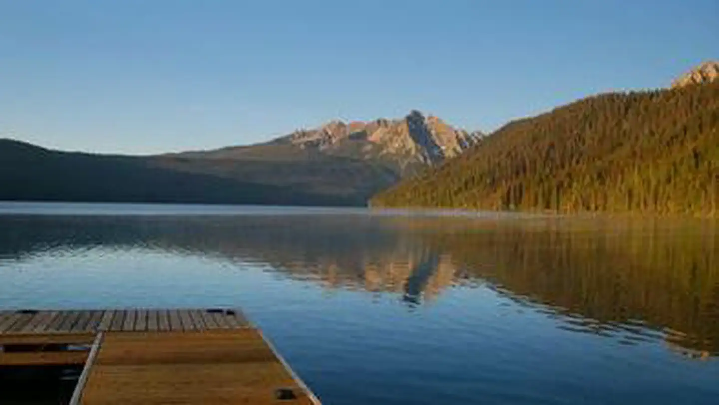 Point CampgroundCampground · 16 sites
Overview Point Campground is located next to beautiful Redfish Lake at the foot of the Sawtooth Mountain Range at an elevation of 6,500 feet.
- Pole Flat CampgroundCampground · not watchable
This campground is away from the main road and up the hill overlooking the river and the dredge ponds.
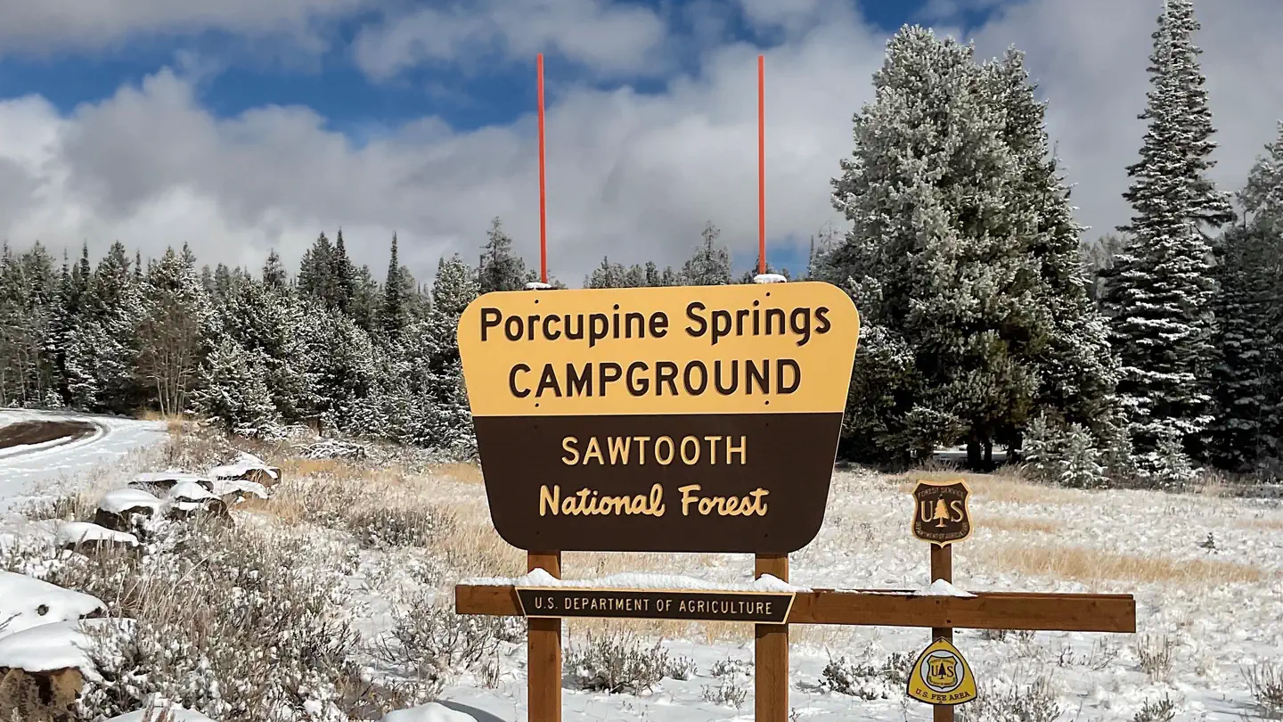 Porcupine SpringsCampground · 7 sites
Overview Porcupine Springs Campground is located along the scenic Rock Creek Road, in southern Idaho. It sits at an elevation of 6,950 feet.
- Powerplant / Middle Fork TrailheadFacility · not watchable
The Powerplant / Middle Fork Trailhead is a signed site with a restroom, fire ring, grill stand, loading/unloading ramp for animals, stock stall, serving…
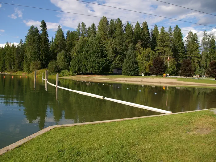 Priest RiverCampground · 21 sites
Overview Priest River Campground is situated on the banks of Priest River, shaded by firs, cedars and pines, just upstream from the confluence of the Pend…
- Queens River TrailheadFacility · not watchable
The Queens River Trailhead is a three-acre signed site that includes a restroom, corral, hitching rack, loading/unloading ramp for animals, manger, fire ring,…
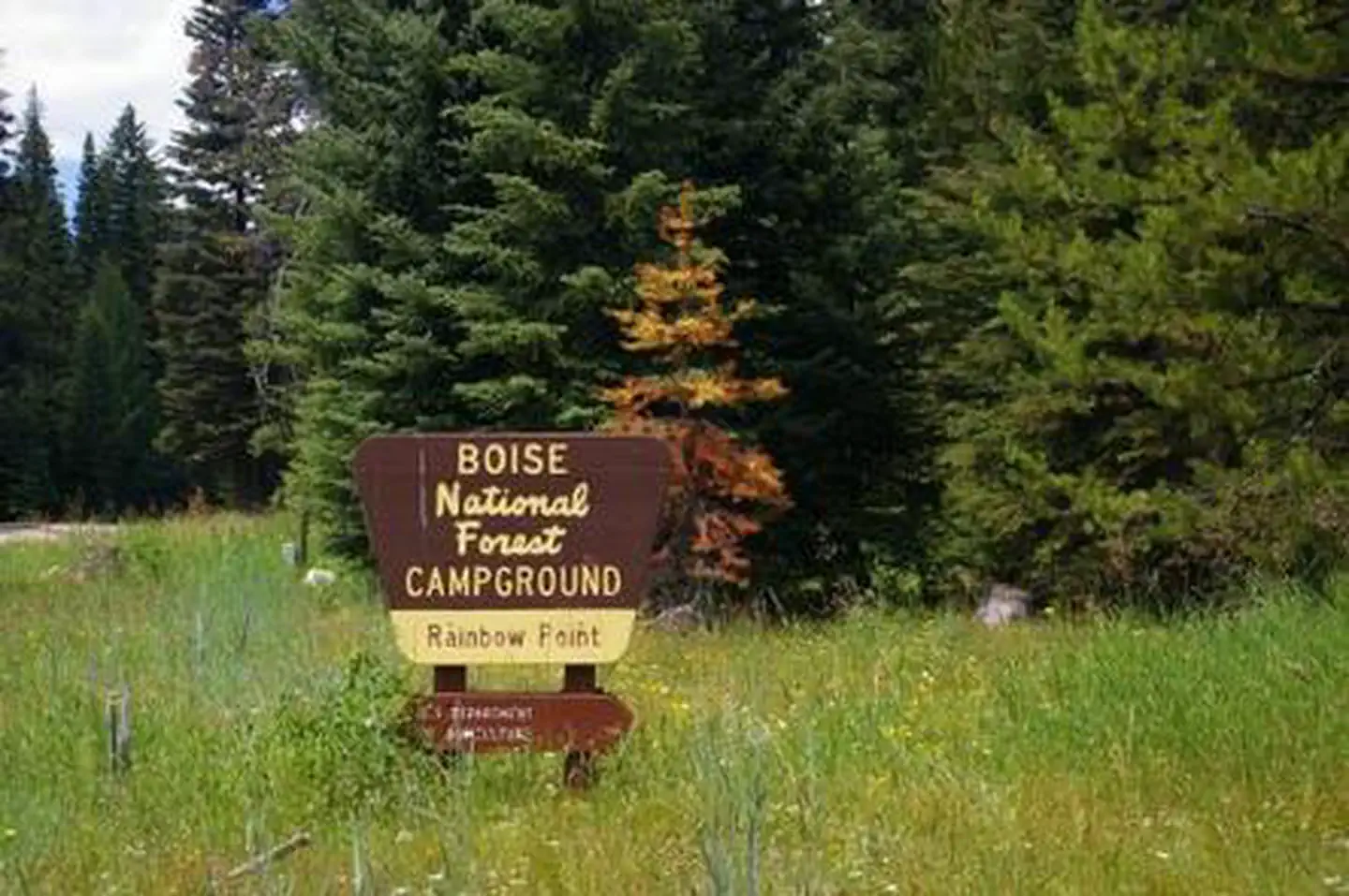 Rainbow PointCampground · 8 sites
Overview Rainbow Point Campground is located next to scenic Lake Cascade in west central Idaho. It is near the town of Donnelly, at an elevation of 4,850 feet.
- Rainy Day CampgroundCampground · not watchable
Rainy Day Campground provides campsites located in open timber on ridge top. Some spots screened from road by timber.
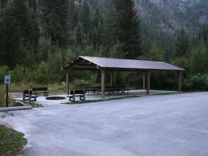 RattlesnakeCampground · 1 sites
Overview Rattlesnake Campground is located 13 miles north of Crouch, Idaho along the Middle Fork Payette River at an elevation of 3621 feet.
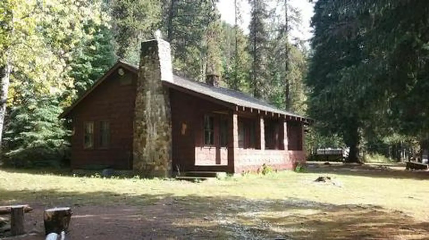 Red Ives CabinCampground · 1 sites
Overview Red Ives Cabin is a popular location in the Idaho Panhandle National Forests.
- Red Mountain TrailheadFacility · not watchable
The Red Mountain Trailhead is a five-acre signed site which includes a restroom, hitching rack, registration box, visitor information, fire rings and picnic…
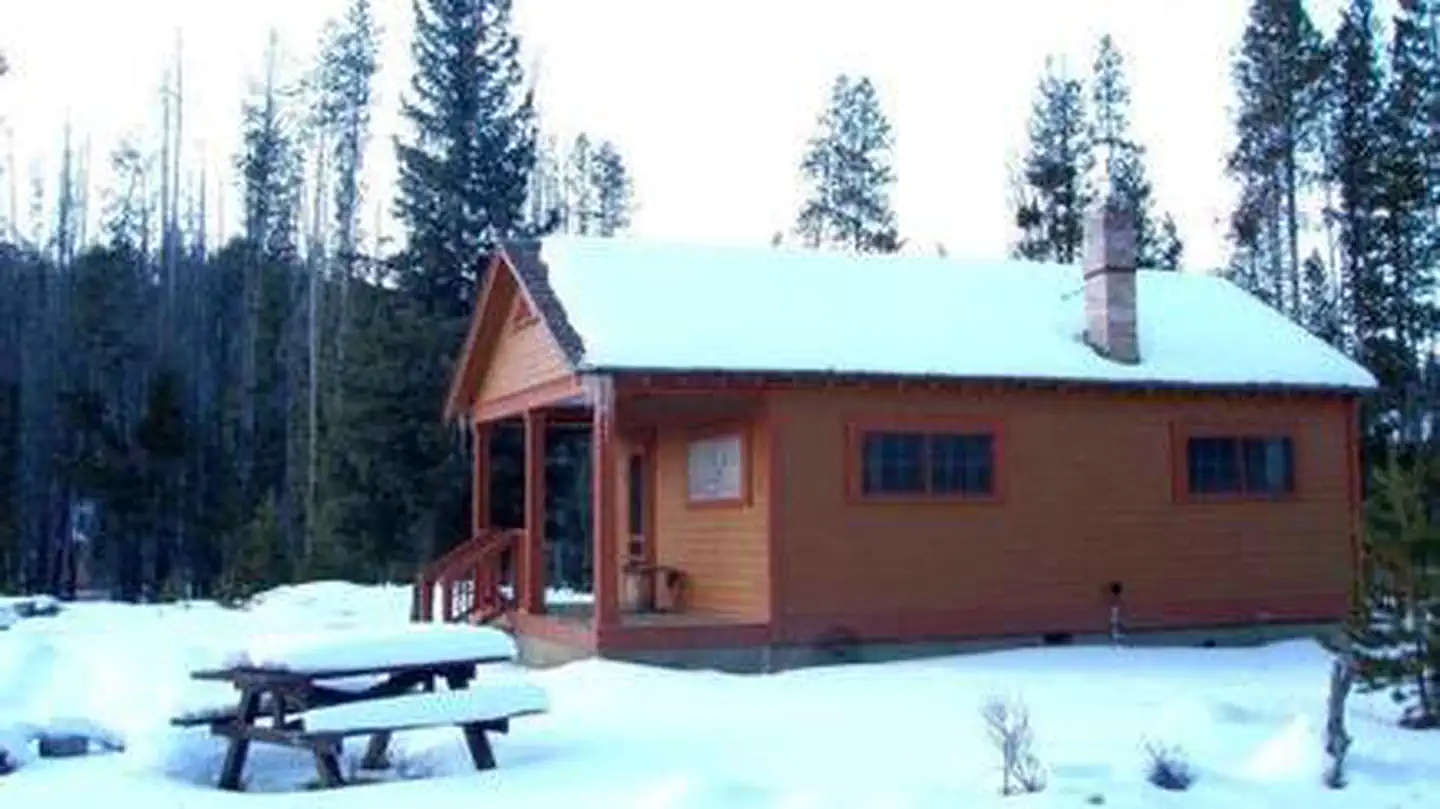 Redfish CabinCampground · 1 sites
Overview A stay at the historic Redfish Cabin is like having your own private Idaho!
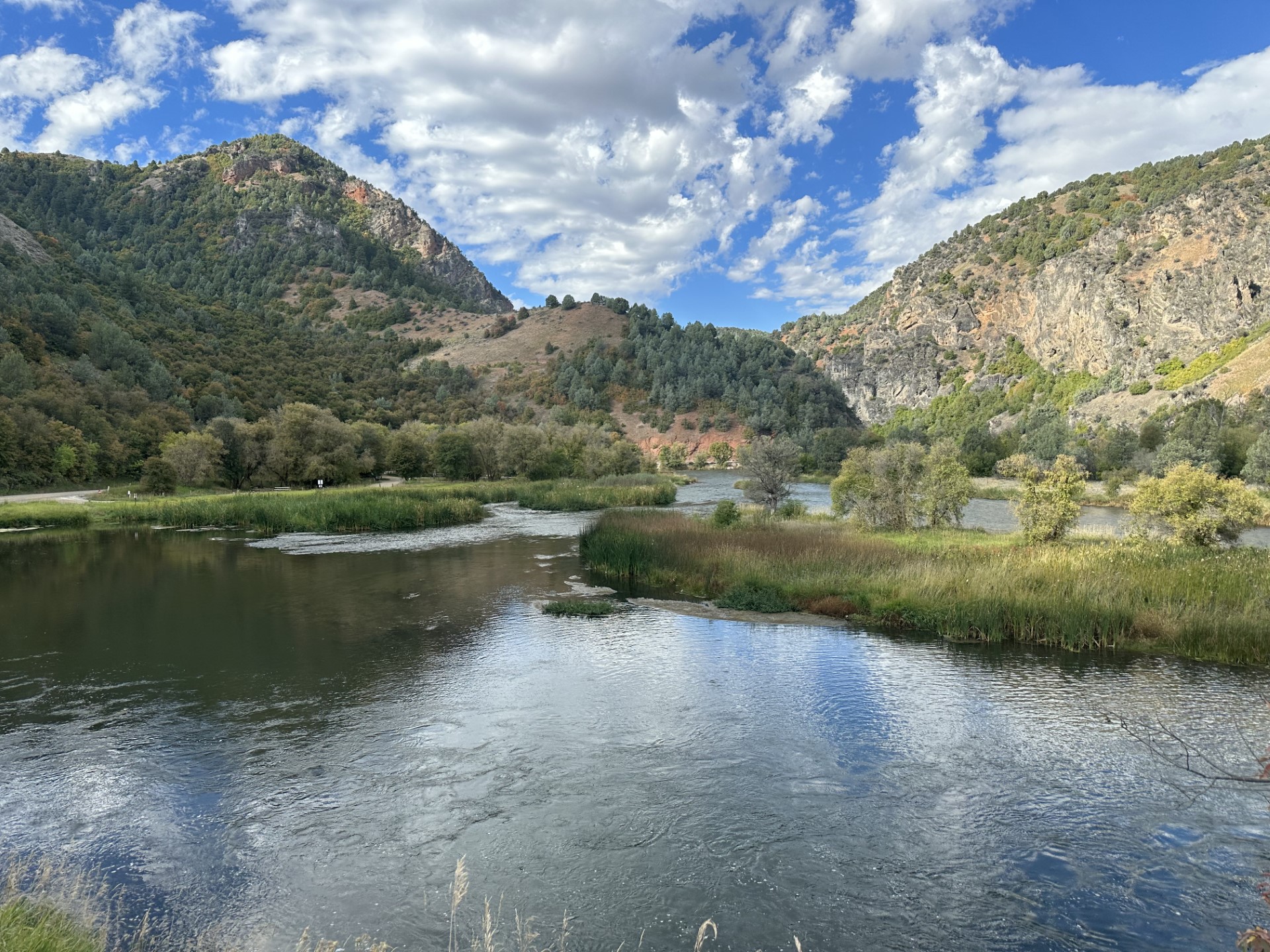 Redpoint CampgroundCampground · not watchable
This BLM managed site is located along the Bear River and has opportunities for wildlife viewing, fishing and non-motorized boating.
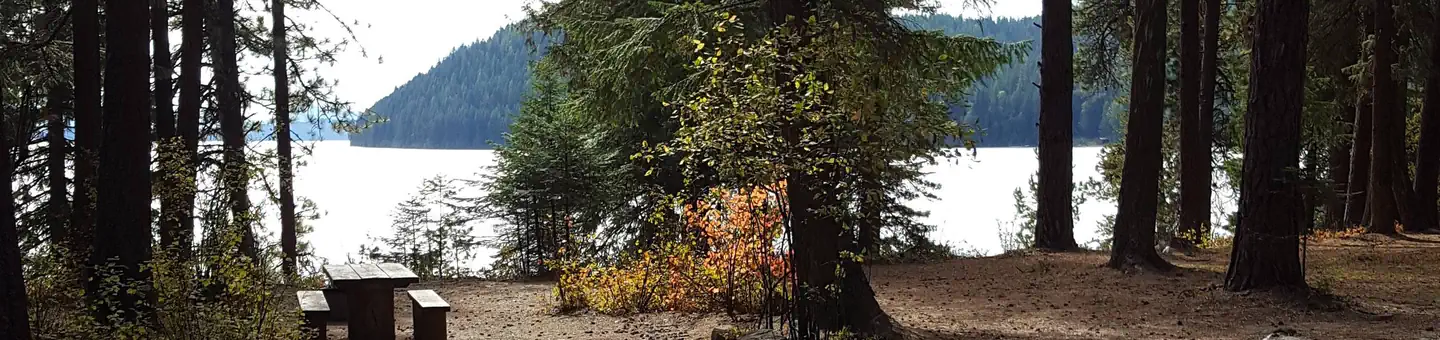 Reeder BayCampground · 24 sites
Overview Reeder Bay Campground is a picturesque hideaway for nature immersion and relaxing water sports on Priest Lake.
- Rice Peak TrailheadFacility · not watchable
The Rice Peak Trailhead is a signed site with no amenities. A debris flow in 2014 washed out a portion of Forest Service Road 478 that leads to Rice Peak…
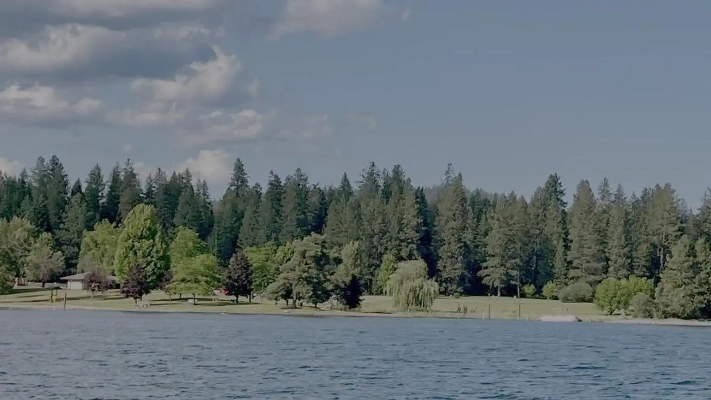 Riley CreekCampground · 69 sites
Overview Riley Creek Recreation Area, situated on the banks of the Pend Oreille River, is the largest recreation area for the Albeni Falls Project, but still…
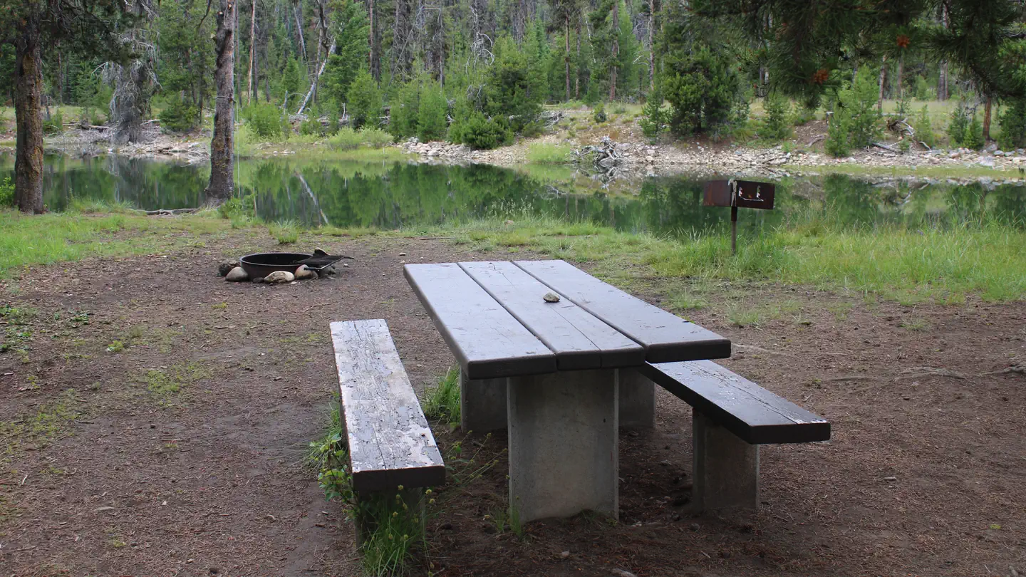 River Side (Id - Boise)Campground · 8 sites
Overview River Side Campground is located along the Deadwood River at the north end of scenic Deadwood Reservoir at an elevation of 5,300 feet.
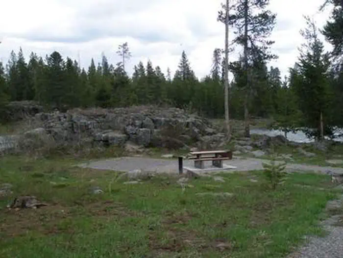 Riverside (Id - Targhee)Campground · 35 sites
Overview Riverside Campground is on the banks of the Henry's Fork of the Snake River, just 15 miles north of Ashton, Idaho.
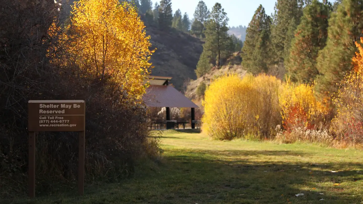 Robie Creek Park Group ShelterCampground · 1 sites
Overview Robie Creek Park is a secluded day use area at the confluence of Mores Creek and Robie Creek on the edge of the Boise National Forest.
- Rocky Gorge CampgroundCampground · not watchable
The Rocky Gorge Campground is located approximately 26 miles southwest of Eureka off Hwy 37.
- Ross Creek CedarsFacility · not watchable
The Ross Creek Cedars Scenic Area is located 29 miles south of Troy off Hwy 56 on Ross Creek Rd 398.
- Saddle Creek CampgroundCampground · not watchable
Saddle Creek Campground is a smaller site located on the rim of Hells Canyon along the Hat Point Road.
- Sage Hen Flats CampgroundCampground · not watchable
This BLM managed site located along the Blackfoot River that has opportunities for fishing, camping, and non-motorized boating.
- Sage Hen Nature Trail TrailheadFacility · not watchable
The Sage Hen Nature Trailhead has a picnic table, parking area and a three panel information kiosk.
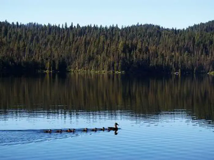 Sagehen CreekCampground · 9 sites
Overview Sagehen Creek Campground is located on the shores of the scenic Sagehen Reservoir at an elevation of 4997 feet.
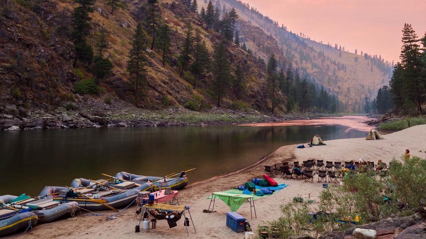 Salmon River (4 Rivers)Permit
Overview: The Salmon River originates in the Sawtooth and Lemhi Valleys of central and eastern Idaho.
- Salmon-Cobalt Ranger DistrictFacility · not watchable
Salmon-Cobalt Ranger District This Ranger District is expansive and takes in the Salmon river mountains and most of the forest that one can see from the town…
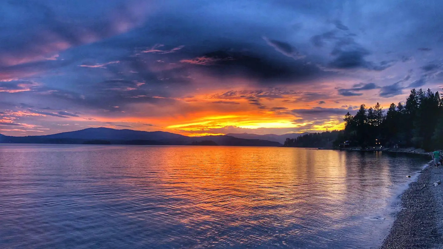 Sam OwenCampground · 80 sites
Overview Sam Owen Campground is nestled on the banks of Lake Pend Oreille in a densely wooded forest of pine and cedar.
- Sawtooth National Forest - Grandjean CampgroundCampground · not watchable
Grandjean Campground - This campground is managed by Sawtooth National Forest - Stanley Ranger Station - 208-774-3000.
 Scout Mountain CampgroundCampground · 14 sites
Overview Scout Mountain Campground is located on beautiful Scout Mountain at an elevation of 6,900 feet, just 13 miles south of Pocatello, Idaho.
- Scurvy Mountain LookoutFacility · not watchable
Sixty-one miles northeast of Pierce, Idaho, a basic platform tower was built atop this mountain peak in 1917 with the addition of living quarters in the 1920s,…
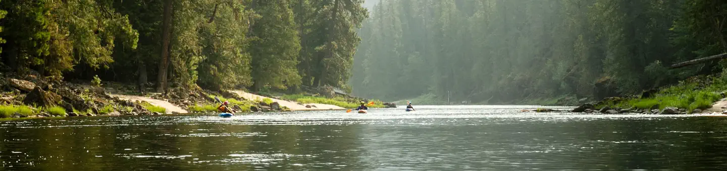 Selway River (4 Rivers)Permit
Overview: The Selway River flows through portions of north-central Idaho, within the Selway-Bitterroot Wilderness.
- Seven Devils CampgroundCampground · 9 sites
Overview Seven Devils Campground is a small rustic facility located near the Hells Canyon Wilderness.
- Shady CampgroundCampground · not watchable
Shady Campground is a small rustic campground located along the Wild and Scenic Lostine River.
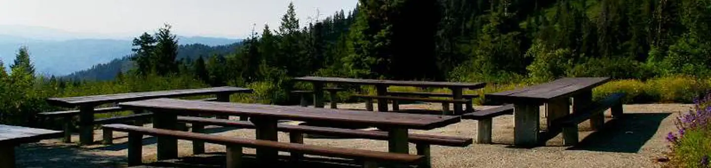 Shafer ButteCampground · 9 sites
Overview Shafer Butte is located atop the scenic Boise Ridge Mountains, near Bogus Basin Mountain Recreation Area, at an elevation of 7,000 feet.
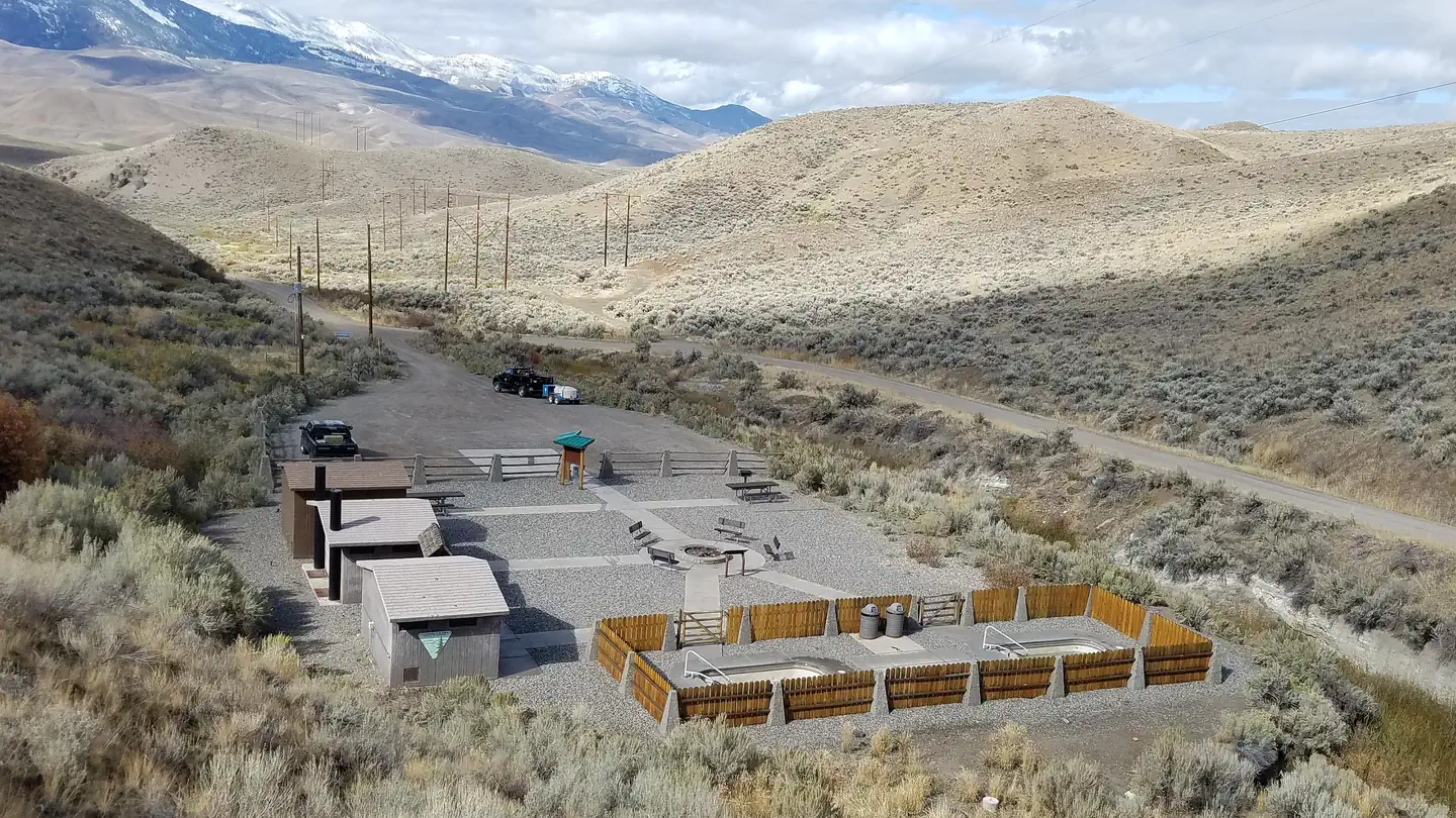 Sharkey Hot SpringsActivity pass
- Sheep Mountain TrailheadFacility · not watchable
The Sheep Mountain-Camp 60 OHV loop trail system is a popular OHV trail located in northcentral Idaho.
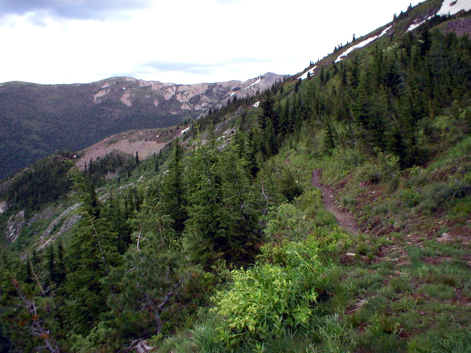 Sheep Springs OverlookFacility · not watchable
This is a primitive backcountry site serving as the trailhead to the Crystal Lake Trail.
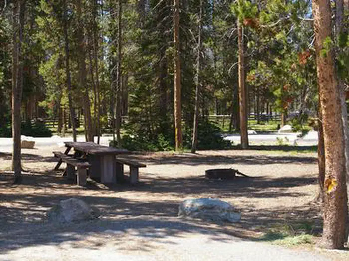 Sheep Trail CampgroundCampground · 1 sites
Overview Sheep Trail Campground is located at an elevation of 6,670 feet in a beautiful valley at the foot of the Sawtooth Mountain Range in central Idaho.
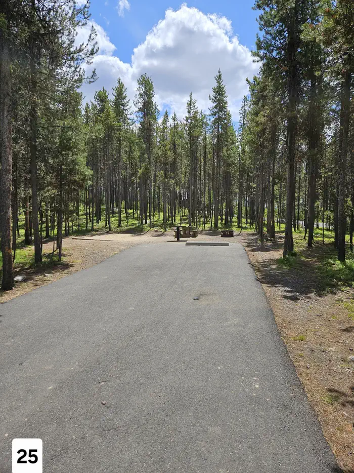 ShorelineCampground · 33 sites
Overview Shoreline Campground is located just across the road from beautiful Warm Lake, at an elevation of 5,300 feet.
- Shorts Bar Recreation SiteFacility · not watchable
This site is a frequent put-in spot for floating the Lower Salmon River. The site is near large, sandy beaches and provides easy access to the Salmon River.
 Shorty Peak LookoutCampground · 1 sites
Overview Shorty Peak Lookout, 45 miles northwest of Bonners Ferry, sits atop Shorty Peak with views of the Selkirk and Purcell mountain ranges of Northern…
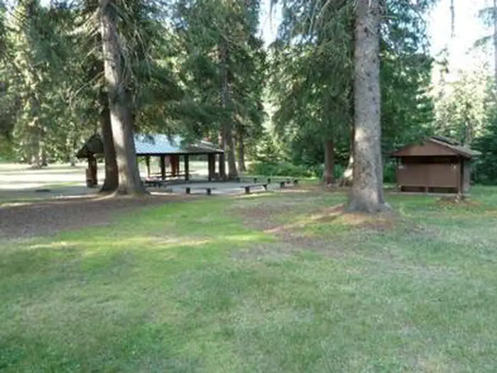 Shoshone Park KitchenCampground · 2 sites
Overview Shoshone Park is a pristine forested park with a stream running through the area.
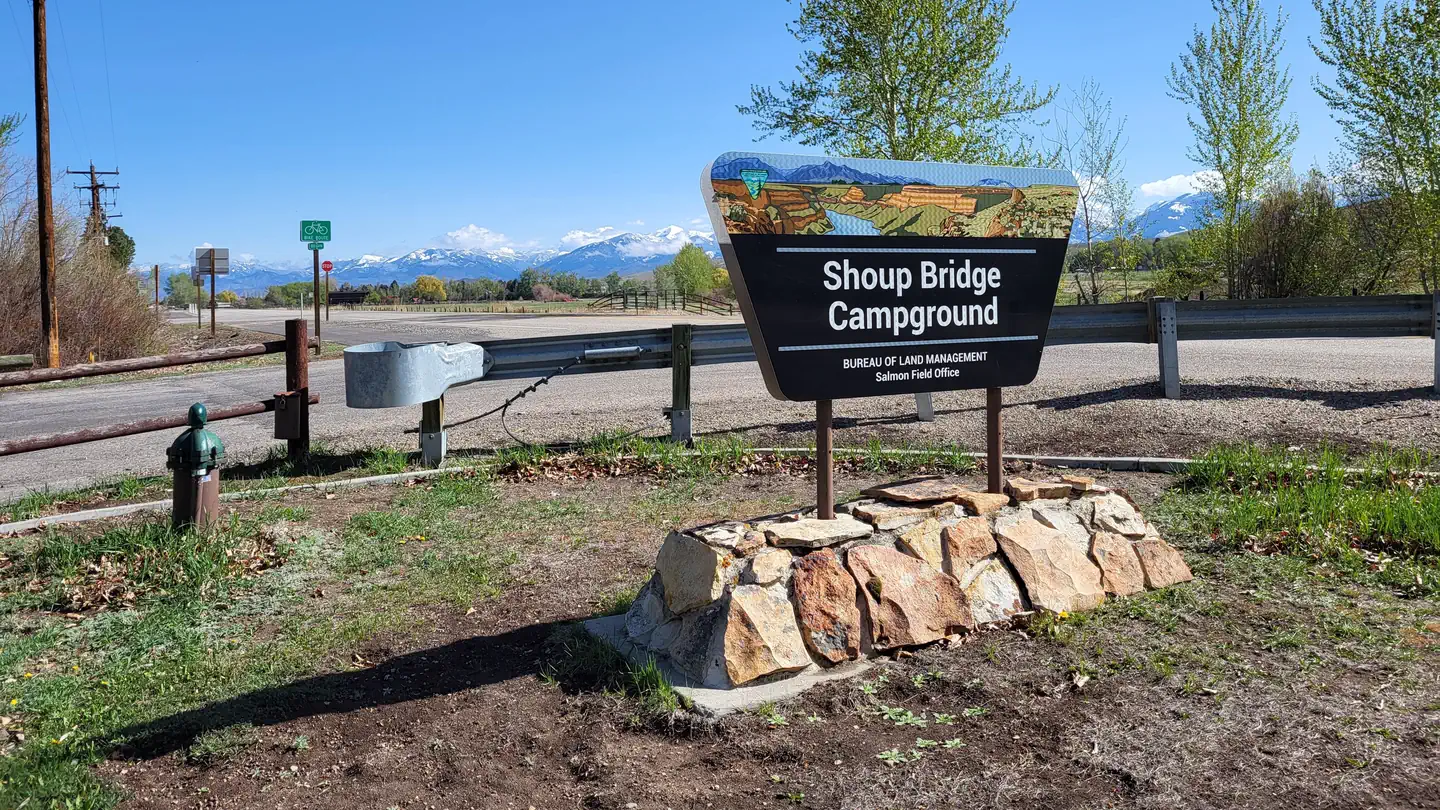 Shoup Bridge CampgroundCampground · 16 sites
Overview Shoup Bridge Campground is an easily accessible, paved RV-friendly campground that offers numerous riverfront sites.
- Shoup Bridge Recreation SiteFacility · not watchable
The BLM Shoup Bridge Recreation Site is a small, convenient campground that accommodates both RVs and tents located on the main Salmon River.
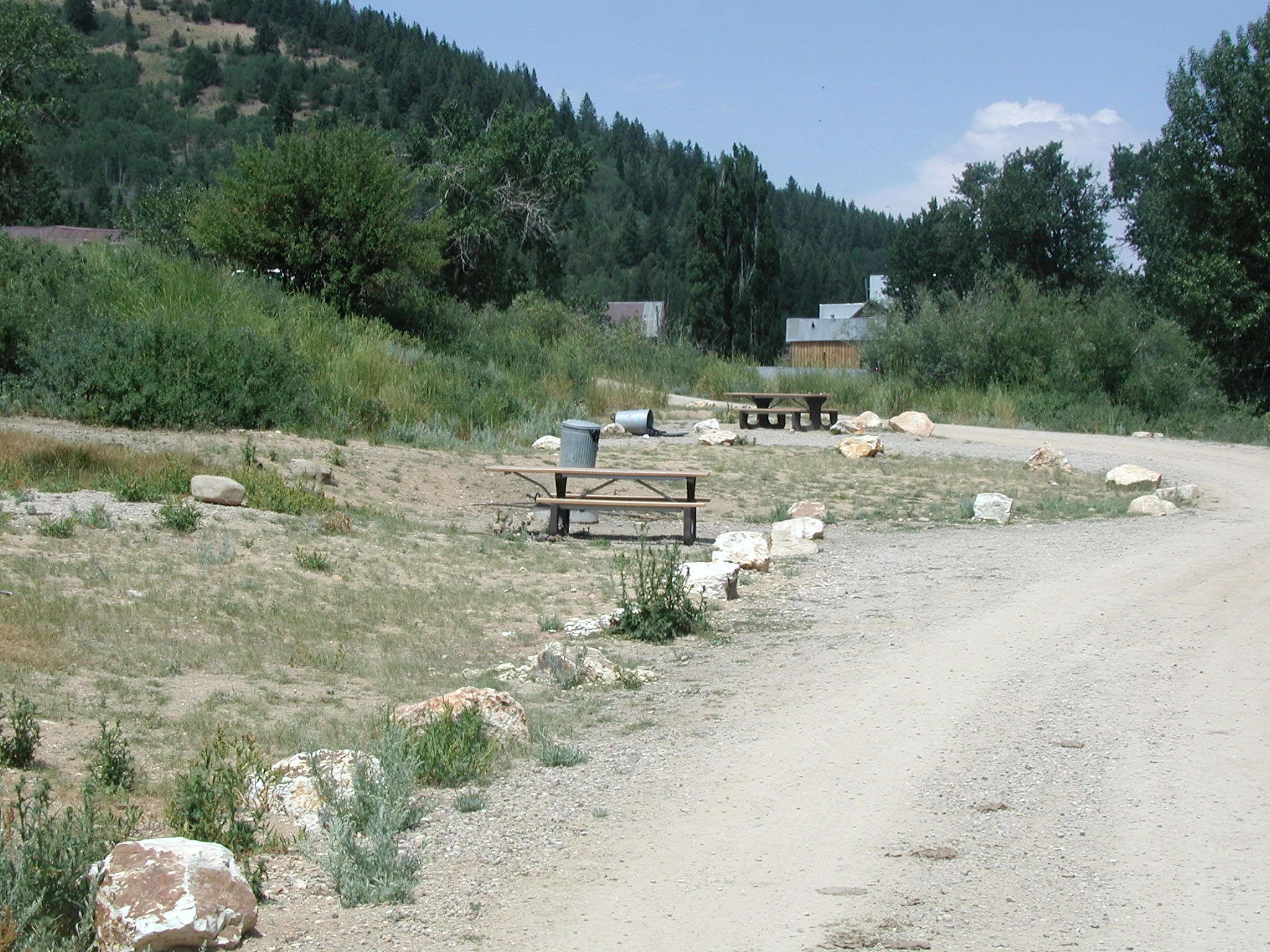 Silver City CampgroundCampground · not watchable
This small campground is located in a partially restored 19th-century mining town. Please plan to bring your own water.
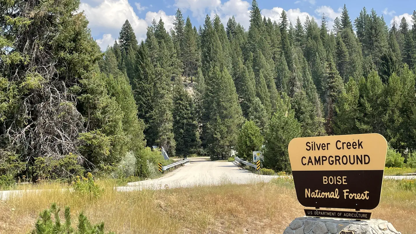 Silver Creek CampgroundCampground · 57 sites
Overview Silver Creek Campground is located 25 miles north of Garden Valley, Idaho, in beautiful Peace Valley at an elevation of 4,490 feet.
- Silver Creek Summit TrailheadFacility · not watchable
The Long Fork Silver Creek / Bitter Creek Trailhead has a large parking area with two sign boards for separate trails.
- Skookumchuck Recreation SiteFacility · not watchable
This is a scenic day-use site features swimming beach and shady, grassy picnic area along the Lower Salmon River.
- Slate Creek Recreation SiteFacility · not watchable
This is a small developed site with shade, boat launch, and six campsites with tables and fire rings on the Lower Salmon River.
- Smith's Ferry Snowmobiling AdventuresFacility · not watchable
The Forest partners with the Idaho Department of Parks and Recreation in offering many miles of snowmobile trails for winter fun and adventure.
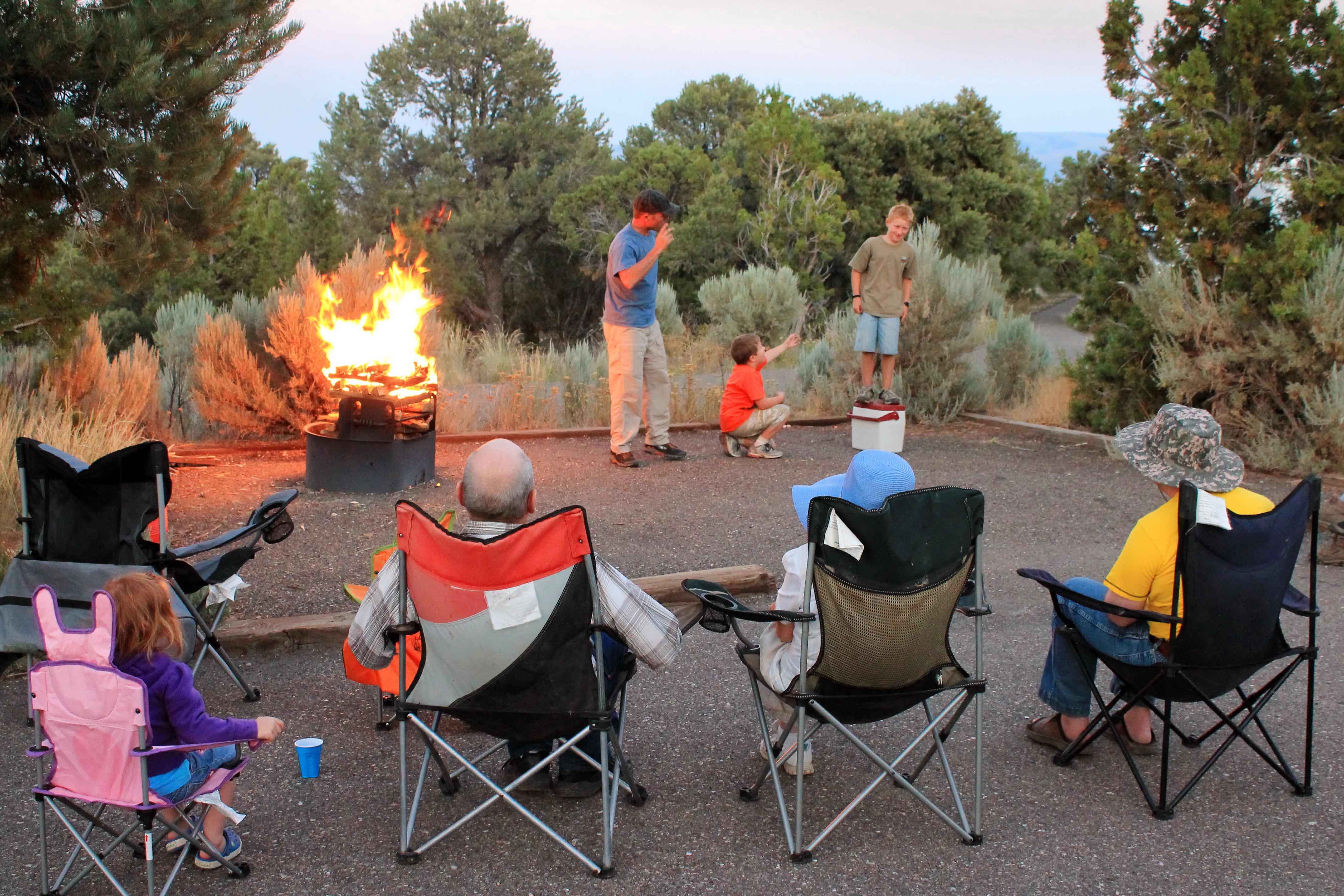 Smoky Mountain CampgroundCampground · not watchable
There are 38 campsites available, 9 of which are pull-through. Sites 11 and 24 are designated ADA accessible.
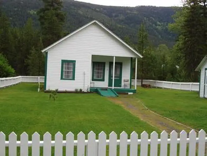 Snyder Guard Station (Id)Campground · 1 sites
Overview Snyder Guard station, located on the banks of the scenic Moyie River, has been listed on the National Register for Historic places since 1982.
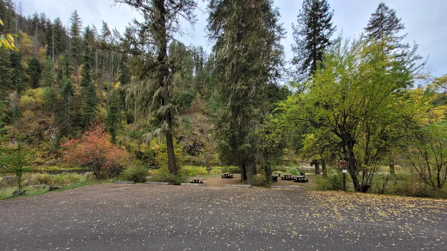 South Fork Group Site 5 - Nez Perce NF (ID)Campground · 1 sites
Overview South Fork Campground is nestled along the South Fork of Clearwater River.
- South Fork of the Snake River: Byington Boat AccessFacility · not watchable
This BLM site features a concrete boat ramp and separate raft launch/takeout facilities.
- South Fork of the Snake River: Conant Boat AccessFacility · not watchable
This BLM site features a concrete boat ramp and separate raft launch facilities. There is a large pool to launch boats and a back channel for rafts.
- South Fork of the Snake River: Lorenzo Boat AccessFacility · not watchable
This BLM site features a concrete boat ramp and the boat launch is located off of the Menan exit on highway 20.
- South Fork of the Snake River: Menan Boat AccessFacility · not watchable
This BLM site features a narrow concrete boat ramp. The current is a little swift by the boat ramp. Watch for underwater hazards near the access.
- Spar Lake CampgroundCampground · not watchable
The Spar Lake Campground is located 2.5 miles east of Troy then 17 miles south on Lake Creek Road 384.
- Spillway CampgroundCampground · not watchable
Overview: Spillway Campground is a small campground with 3 campsites along Anderson Ranch Reservoir. The reservoir is a popular destination for fishing,…
- Split Creek Trailhead and River AccessFacility · not watchable
Stop at the Split Creek Trailhead and take a break from your drive on the Northwest Passage Scenic Byway and enjoy a picnic while taking in views of the Lochsa…
- Spring Bar CampgroundCampground · not watchable
A popular take-out point for floaters of the Salmon River, the Spring Bar Campground offers a boat launching ramp and 18 tent campsites.
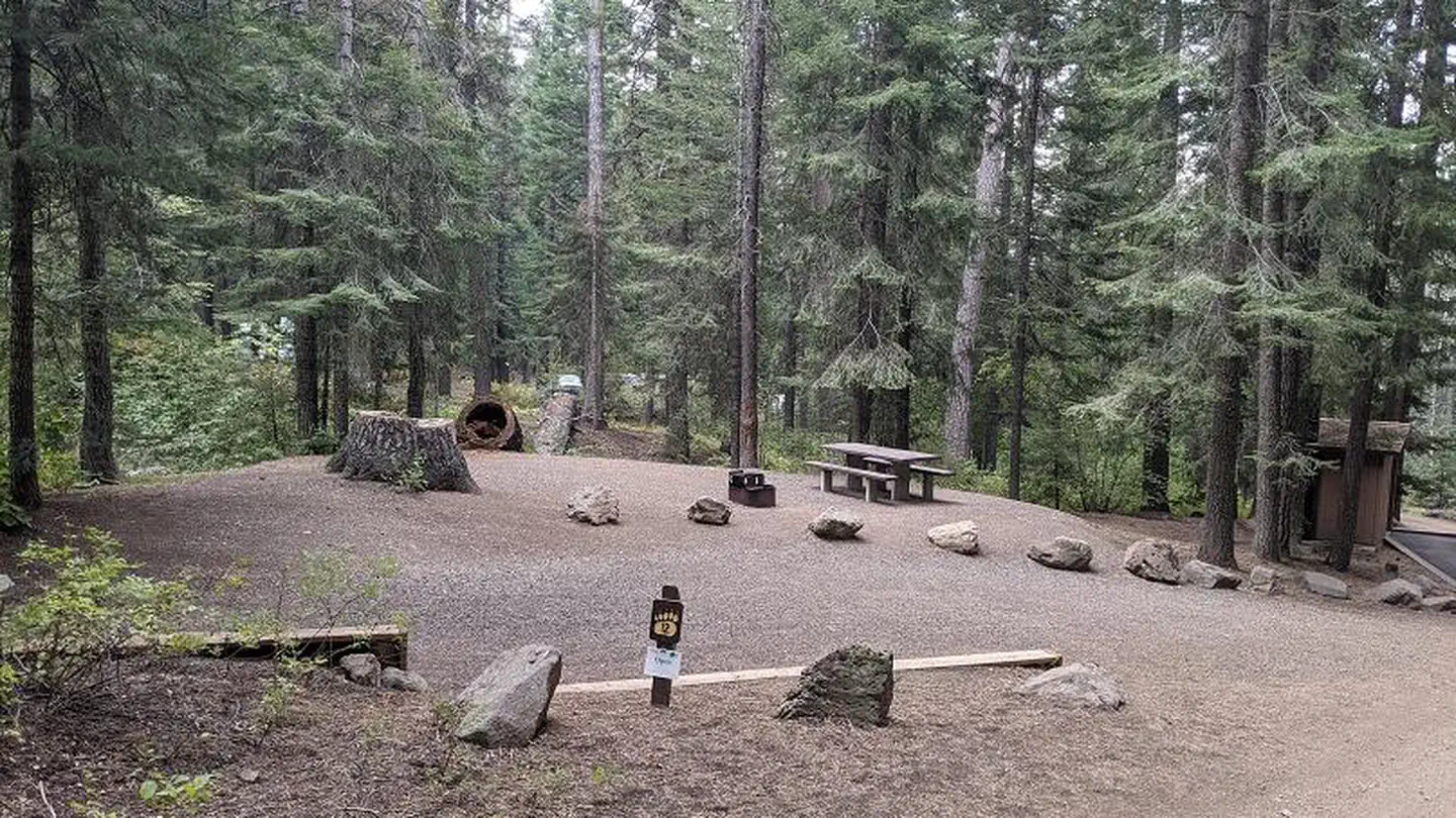 Spring Creek CampgroundCampground · 13 sites
Overview Spring Creek Campground is located along the peaceful Spring Creek in the Hitt Mountains of western Idaho.
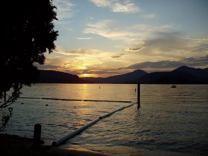 Springy PointCampground · 39 sites
Overview Springy Point Campground is situated amid firs, cedars and pines overlooking the Pend Oreille River with views of the Cabinet and Selkirk Mountains.
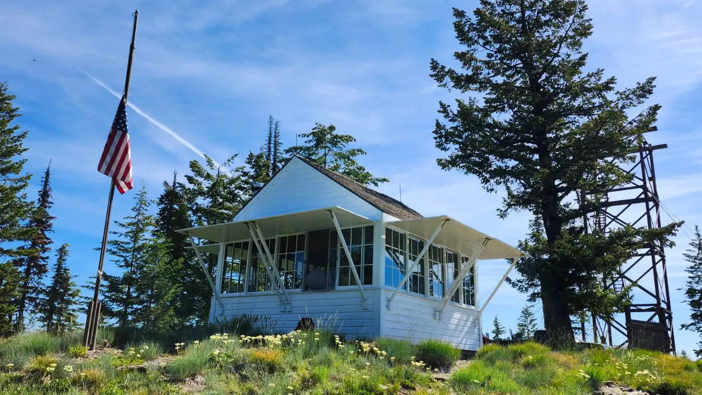 Spyglass Ground HouseCampground · 1 sites
Overview Spyglass Lookout Ground House is located on Spyglass Peak, in the heart of the Coeur d'Alene River Ranger District, Idaho Panhandle National Forests.
- Squaw Creek TrailheadFacility · not watchable
This trailhead provides access to both the Yankee Fork and Bayhorse areas through the trail system.
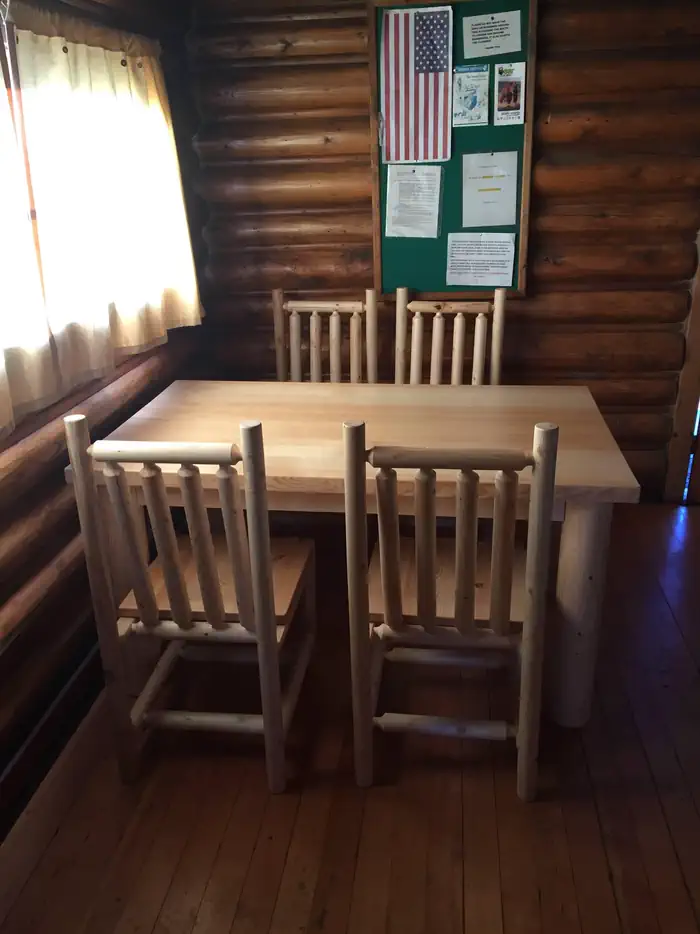 Squirrel Meadows CabinCampground · 1 sites
Overview Squirrel Meadows Cabin is located 24 miles east of Ashton, Idaho, just off the Ashton-Flagg Ranch Road.
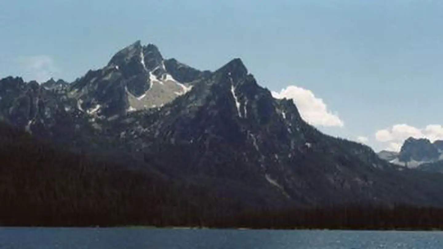 Stanley Lake CampgroundCampground · 39 sites
Overview Stanley Lake Campground is located on the shoreline above beautiful Stanley Lake at the foot of the Sawtooth Mountains.
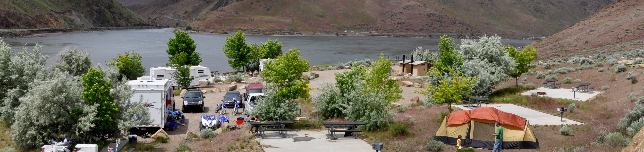 Steck ParkFacility · not watchable
Steck Park offers access to Brownlee Reservoir along the Snake River from the Idaho side of Hell's Canyon.
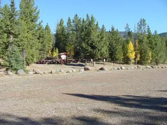 Steel Creek Group CampgroundCampground · 1 sites
Overview Steel Creek Group Campground is located 35 miles northeast of the town of Dubois, Idaho, and 9 miles northwest of Kilgore.
- Stinking Springs ATV and Mountain Biking TrailFacility · not watchable
Around 10,000 visitors use the Stinking Springs Multiple Use area each year. This designated route is used by OHV/ATV riders, hikers, mountain bikers and…
 Stoddard Creek CampgroundCampground · 20 sites
Overview Stoddard Creek Campground is located just 1 mile off I-15 and 17 miles north of the town of Dubois, Idaho.
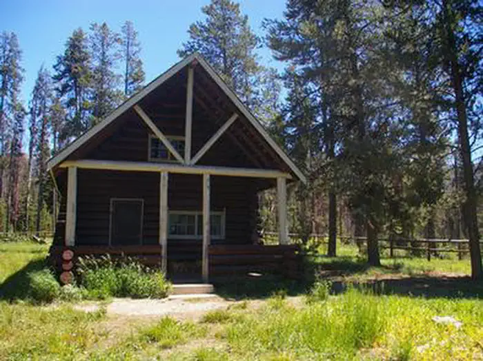 Stolle Meadows CabinCampground · 1 sites
Overview Historic Stolle Meadows Cabin is a single-room dwelling that has been restored to near original condition.
- Stone Hill Climbing AreaFacility · not watchable
Along the Koocanusa Reservoir is the Stone Hill Climbing Area. Stone Hill is a unique area for climbers of all levels. The area offers a good range of easy…
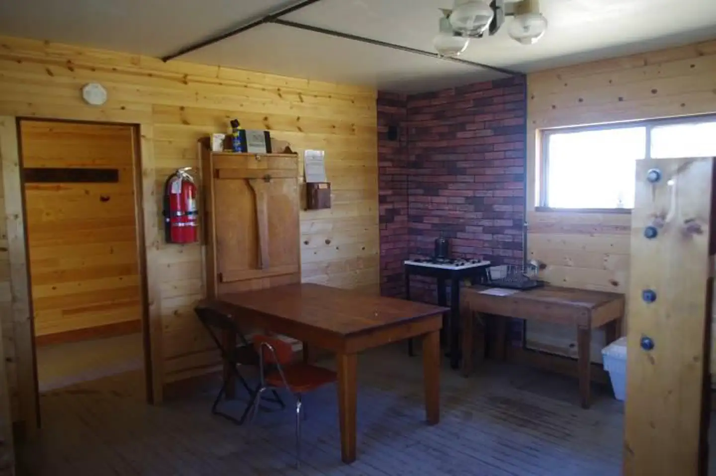 Stump Creek Guard StationCampground · 1 sites
Overview Stump Creek Guard Station is located along what was once the Lander Cutoff for the Oregon Trail.
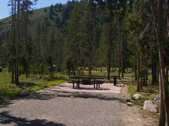 Sunny Gulch CampgroundCampground · 46 sites
Overview Sunny Gulch Campground sits along the shores of Salmon River in the forests of central Idaho.
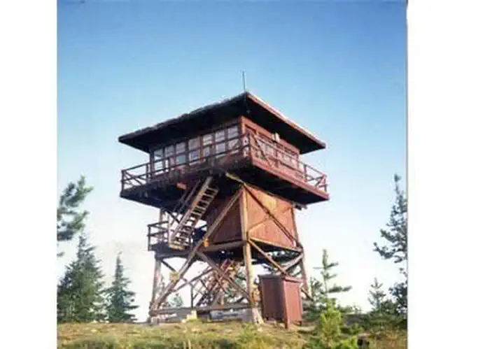 Surveyors LookoutCampground · 1 sites
Overview Located near the Mallard-Larkins Pioneer Area Attractions, Surveyors Lookout is perched atop a 30 foot tower, providing phenomenal views of Snow Peak…
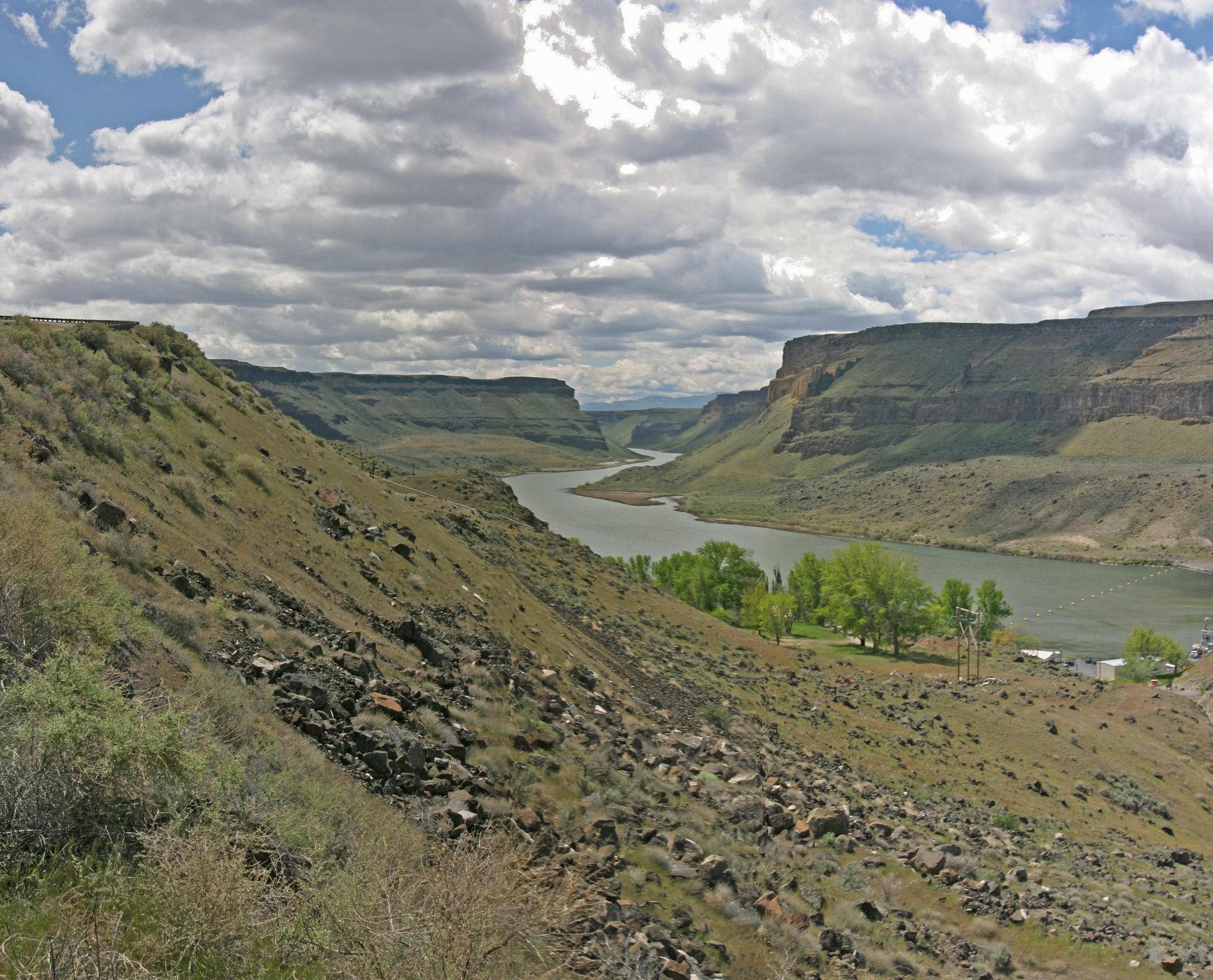 Swan Falls Picnic AreaFacility · not watchable
Swan Falls Dam is on the Snake River about 40 miles south of Boise. It was built in 1901 to provide electricity to nearby mines in the Owyhee Mountains.
 Swinging BridgeCampground · 7 sites
Overview Swinging Bridge Campground is located 10 miles north of Banks, Idaho just off Highway 55 at an elevation of 4,000 feet.
- Swisher Lake CampgroundCampground · not watchable
The Swisher Lake Campground is located 8 miles northwest of Eureka on Sophie Bay road 7160. The campground has 4 sites with tables and fire rings.
- Sylvan Lake CampgroundCampground · not watchable
The Sylvan Lake Campground is located southeast of Libby on road 154. The campground has 5 sites with tables and fire rings.
- Table Meadows CampgroundFacility · not watchable
Situated in a popular big game hunting area, Table Meadows Campground offers two toilets, two stock feeding bunks, a loading ramp, hitching rail and six camp…
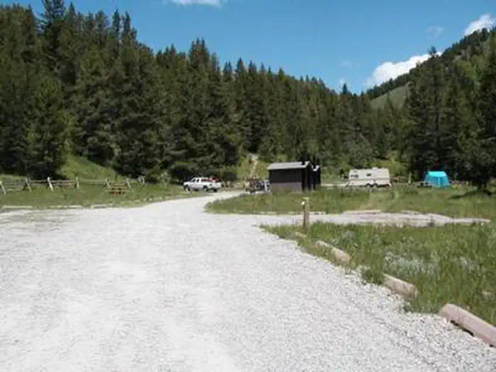 Table RockCampground · 1 sites
Overview Table Rock Campground is located in a small but scenic canyon near Kelly Canyon Ski Resort, approximately 30 miles from Idaho Falls, Idaho.
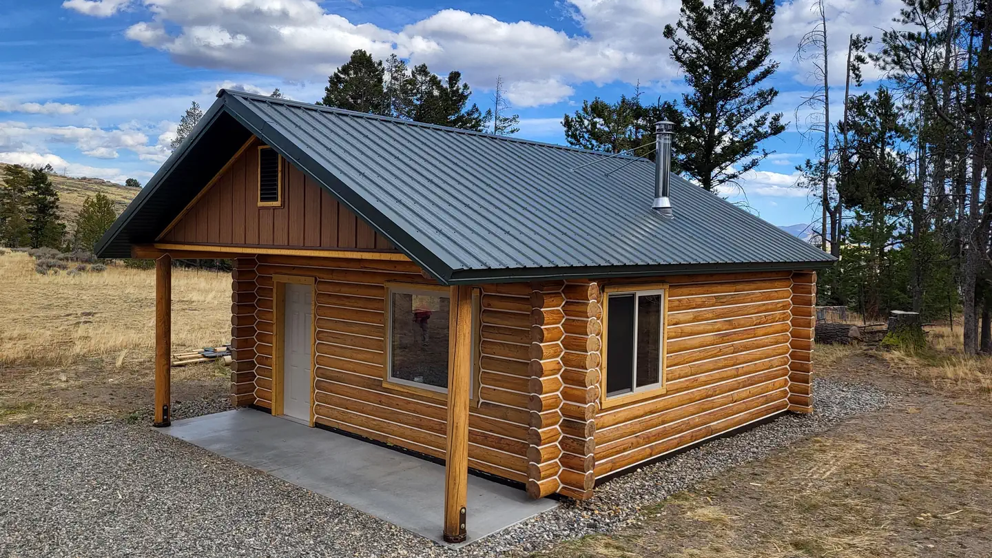 Tarpons Roost CabinCampground · 1 sites
Overview Tarpons Roost Cabin provides a fantastic modern place to stay while recreating in the scenic Beaverhead Mountains of central Idaho.
- Ten Mile TrailheadFacility · not watchable
The Ten Mile Trailhead is a signed site with visitor information, loading/unloading ramp for animals, hitching rack and registration box.
- Tenderfoot TrailheadFacility · not watchable
Tenderfoot Trailhead is a rustic trailhead located next to the eastern side of the Eagle Cap Wilderness area.
- Thatcher CampgroundCampground · not watchable
This campground is just off Highway 21, and tucked back into the trees, overlooking beautiful Capehorn meadows.
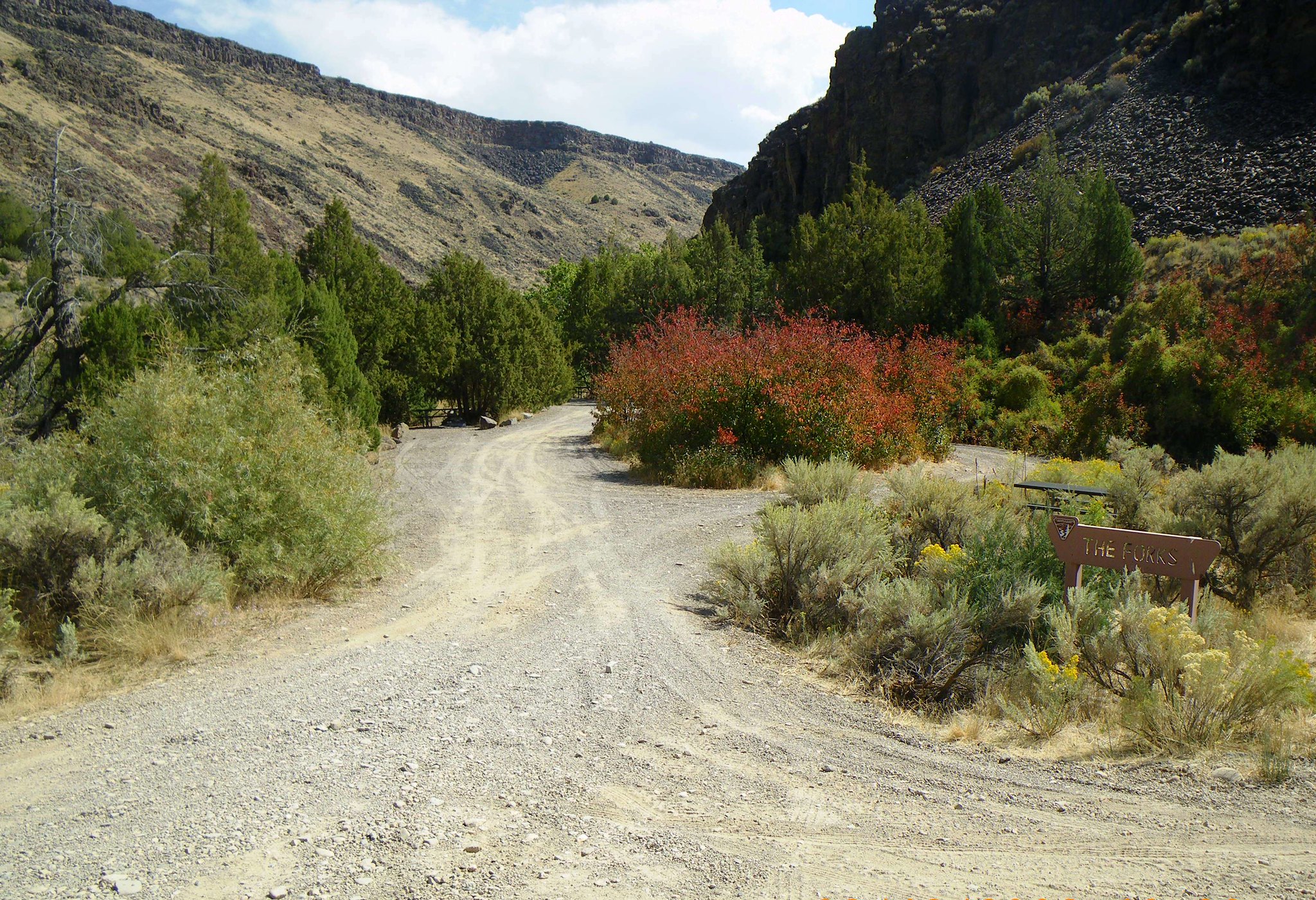 The Forks CampgroundCampground · not watchable
This small campground is located on the East Fork of the Jarbidge Wild and Scenic River about two miles north of Murphy Hot Springs across from the Jarbidge…
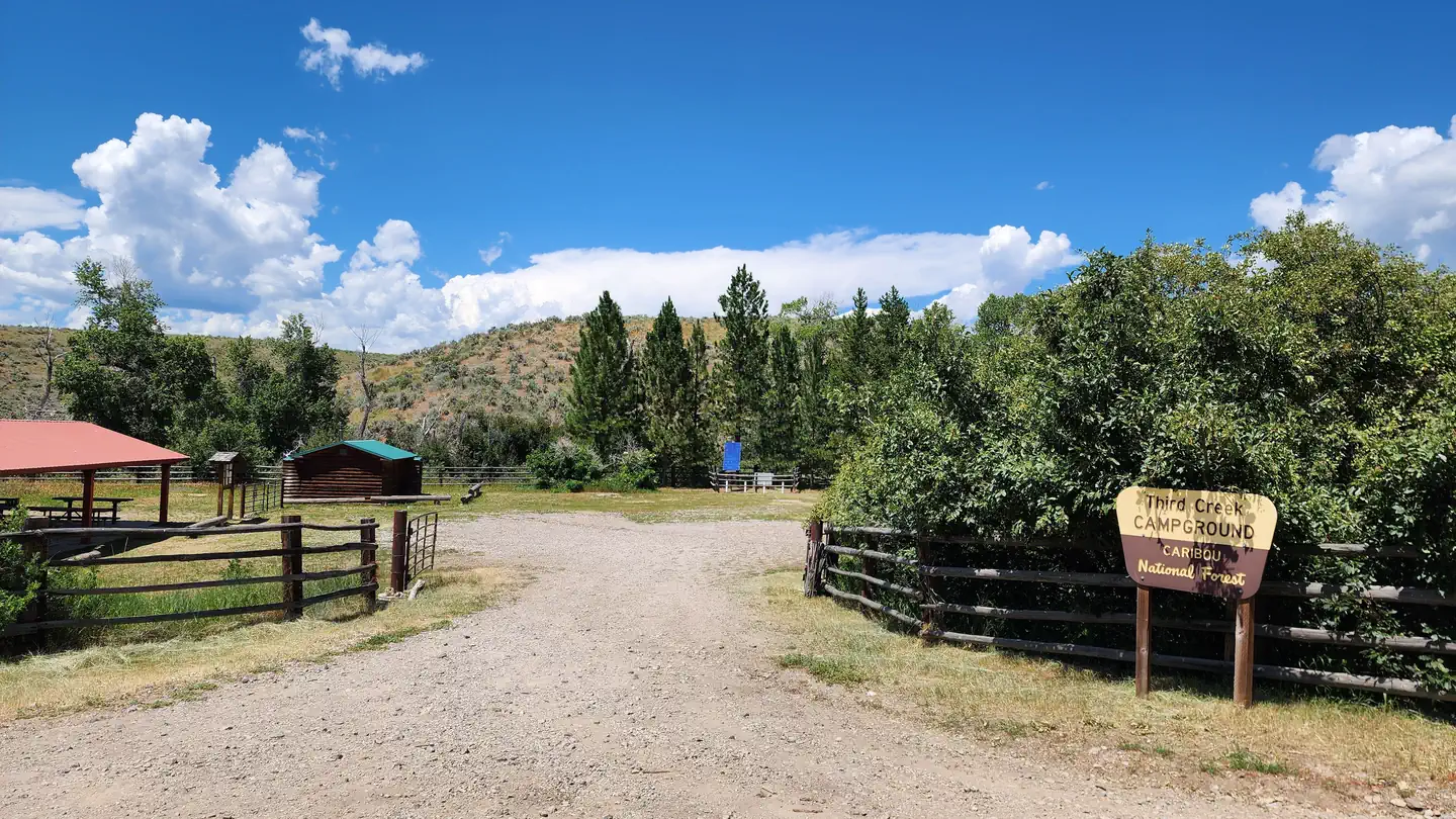 Third Creek Group SiteCampground · 1 sites
Overview Third Creek Group Campground is located just 12 miles northeast of Malad, Idaho, on the Weston Highway near Deep Creek Reservoir.
 Third Fork CabinCampground · 1 sites
Overview Third Fork Cabin is a former guard station, first established in 1906 as Station 10 and renamed Third Fork in 1908.
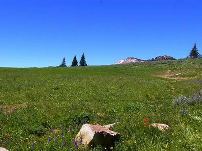 Thompson FlatCampground · 11 sites
Overview Thompson Flat Campground is located high in the Albion Mountain Range of southern Idaho, near the towns of Declo and Albion.
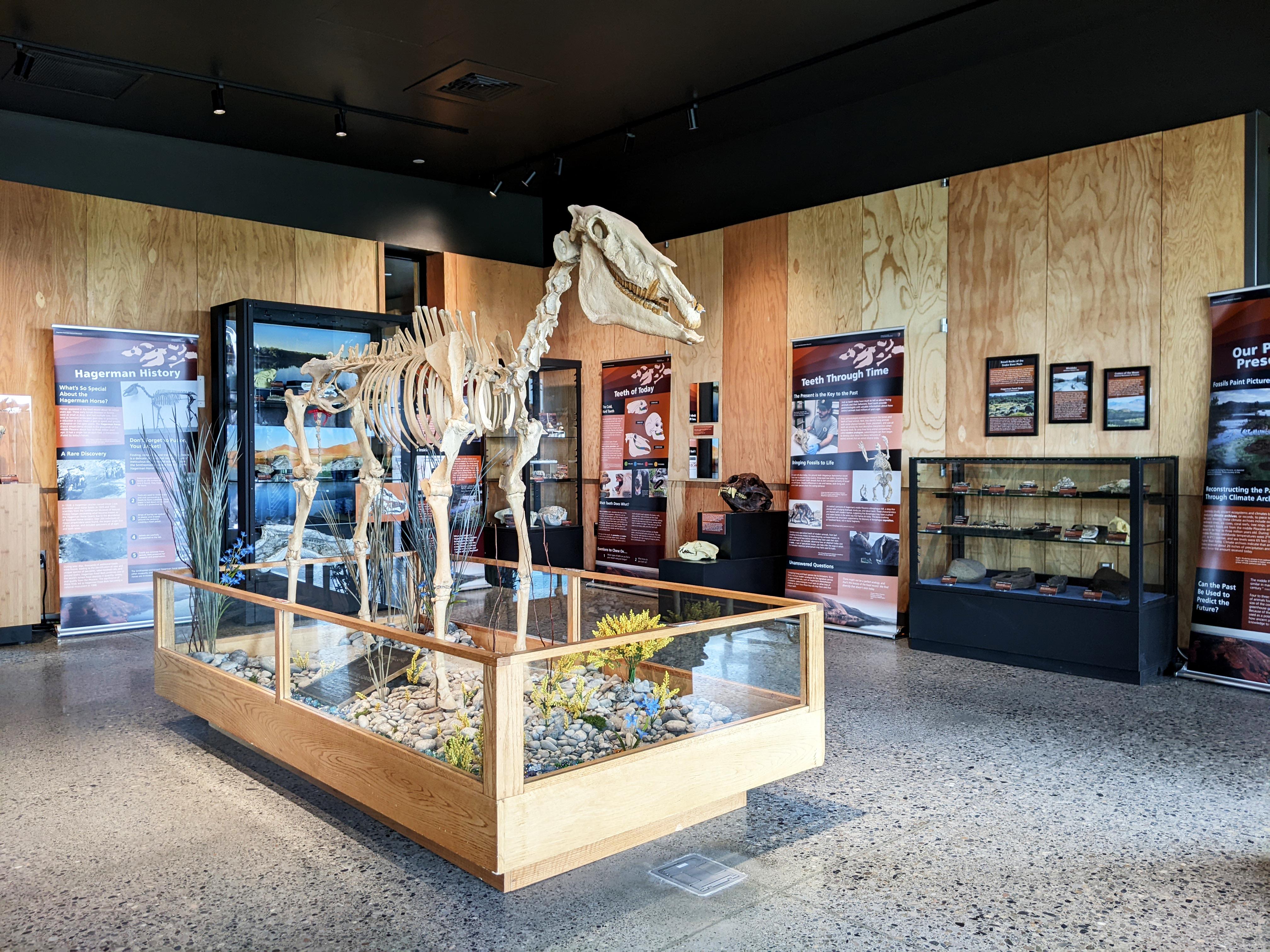 Thousand Springs Visitor CenterFacility · not watchable
The new Thousand Springs Visitor Center, operated jointly with Idaho Department of Parks and Recreation, is located about one mile north of Hagerman on Highway…
- Three Devils Picnic AreaFacility · not watchable
Take a break from your scenic drive on the lovely "long and winding road," Highway 12, and enjoy a picnic on the Middlefork of the Clearwatwer River at Three…
- Three Point Mountain TrailheadFacility · not watchable
The Three Point Mountain Trailhead is signed and includes restroom, loading/unloading ramp for ATVs, registration box and an information kiosk.
- Tobacco AreaFacility · not watchable
In the Tobacco area most campgrounds are open from May through September 30 (weather permitting).
- Tobacco River CampgroundCampground · not watchable
The Tobacco River Campground is located approximately 5 miles west of Eureka off Pidgeon Bridge Road 7277. The campground has 6 sites, tables and fire rings.
- Tower Creek Pyramids Day Use AreaFacility · not watchable
This site was homesteaded some years after the Lewis & Clark Expedition visited in 1805 and was donated back to the BLM in 2002.
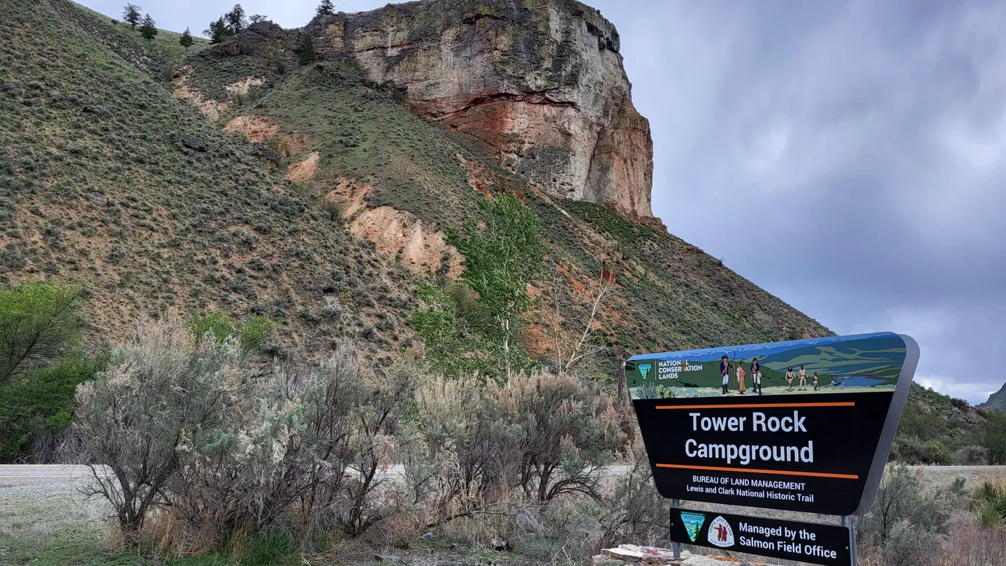 Tower Rock CampgroundCampground · 12 sites
Overview The Lewis & Clark Expedition camped at the Tower Rock site, along the main Salmon River.
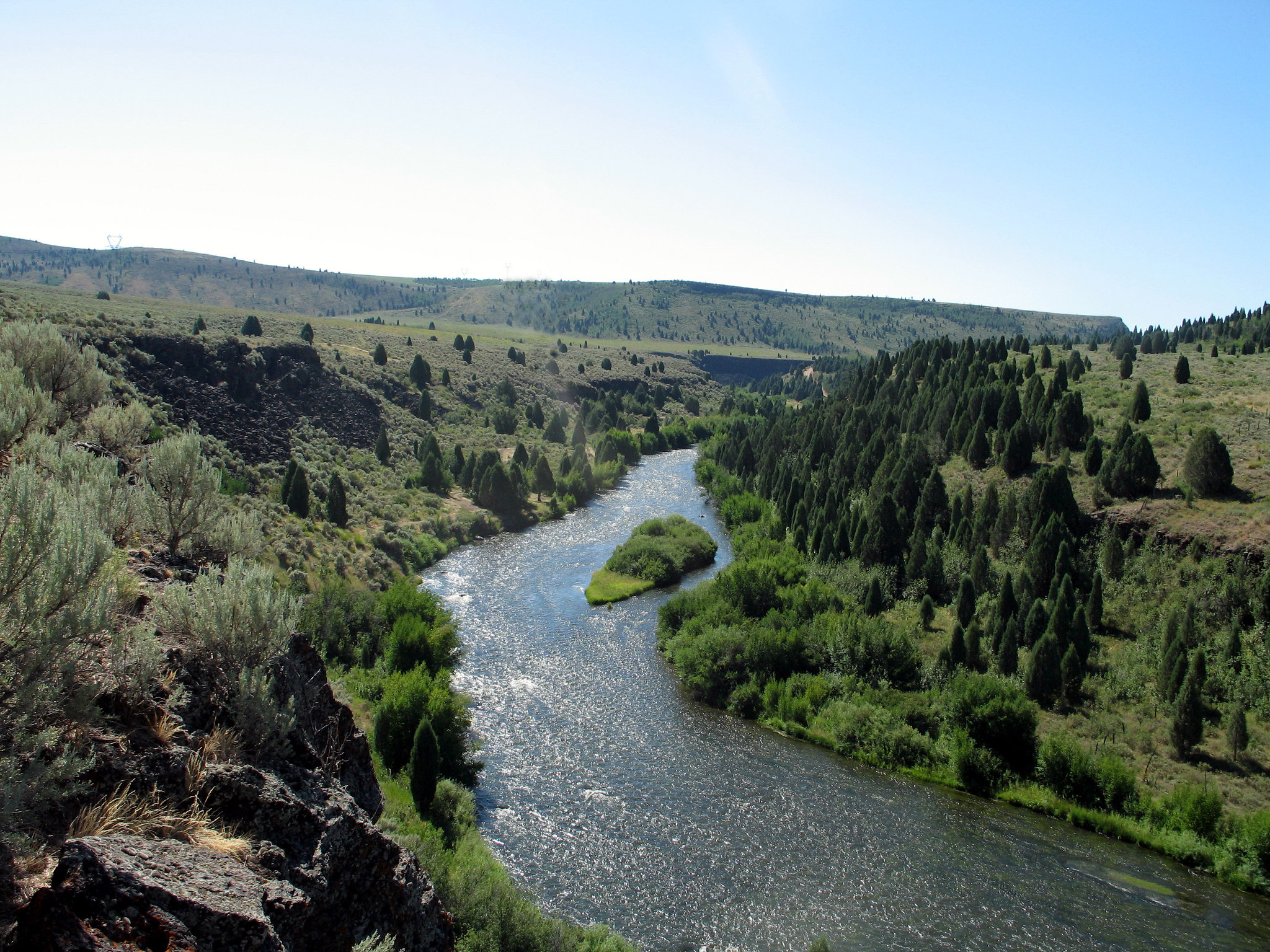 Trail Creek Bridge CampgroundCampground · not watchable
This BLM managed site located along the Blackfoot River that has opportunities for fishing, camping, and non-motorized boating.
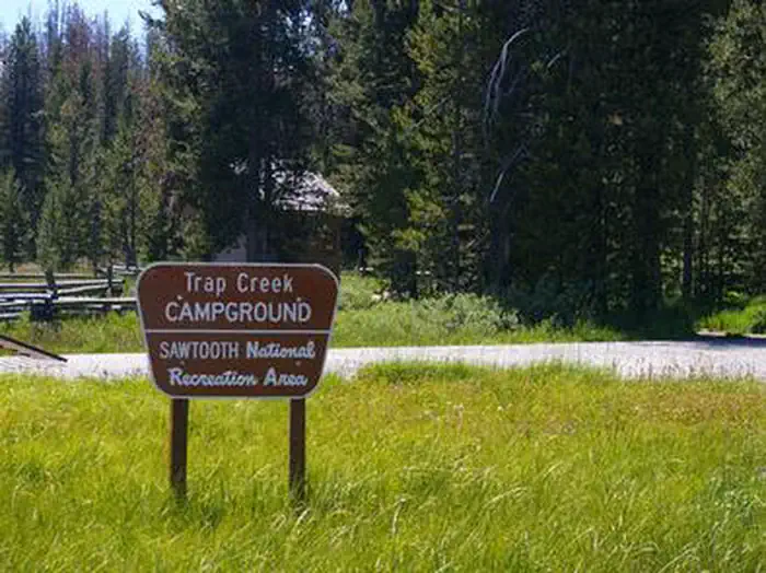 Trap Creek CampgroundCampground · 1 sites
Overview Trap Creek Campground is located in a beautiful valley at the foot of the Sawtooth Mountain Range in central Idaho.
- Triangle PondFacility · not watchable
Triangle Pond is located along the Noxon Reservoir and road 2229. This location is a day use site only.
- Twenty Mile TrailFacility · not watchable
These undeveloped trails offer scenic solitude; there is a short 0.5 mile loop trail and a 4.5 mile trail to the main vent of the Hell's Half Acre flow.
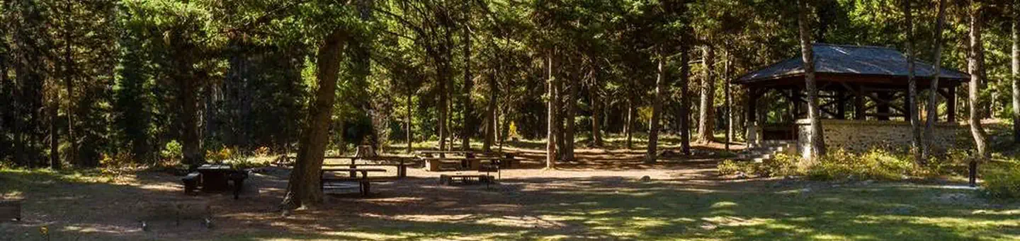 Twin Creek Campground Group Camping SiteCampground · 1 sites
Overview Twin Creek Group Camping Site is part of the larger Twin Creek Campground.
- Twin Peaks Transfer CampFacility · not watchable
Twin Peaks Trailhead sits in the saddle between Twin Peaks. There is an unloading ramp as well as hitch rails and informational signing for the Frank Church…
 University of Idaho/Lionel Hampton CenterFacility · not watchable
The Lionel Hampton Center at the University of Idaho has its roots in a jazz festival which began at the University in 1968.
- Upper Bear Summit TrailheadFacility · not watchable
The Upper Bear Summit Trailhead is a signed site that includes an information kiosk and a loading/unloading ramp for animals.
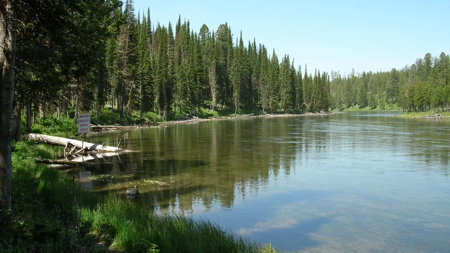 Upper Coffee PotCampground · 15 sites
Overview Upper Coffee Pot Campground is located in Island Park, Idaho on a beautiful, floatable stretch of the Henry's Fork of the Snake River at an elevation…
- Upper Crooked River TrailheadFacility · not watchable
The Upper Crooked River Trailhead includes visitor information. It serves Crooked River (#158) and Beaver Creek (#276) trails.
- Upper Lava Mountain TrailheadFacility · not watchable
The Upper Lava Mountain Trailhead is a signed site with visitor information, loading/unloading ramp for ATVs and registration box.
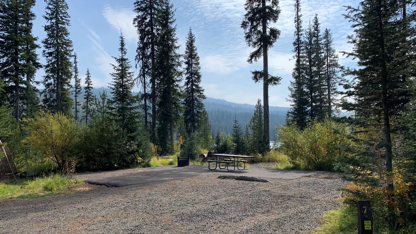 Upper Payette Lake CampgroundCampground · 21 sites
Overview Upper Payette Lake Campground is located 16 miles from McCall, Idaho, on the shores of beautiful Upper Payette Lake.
- Upper Roaring River TrailheadFacility · not watchable
The Upper Roaring River Trailhead includes visitor information and registration box.
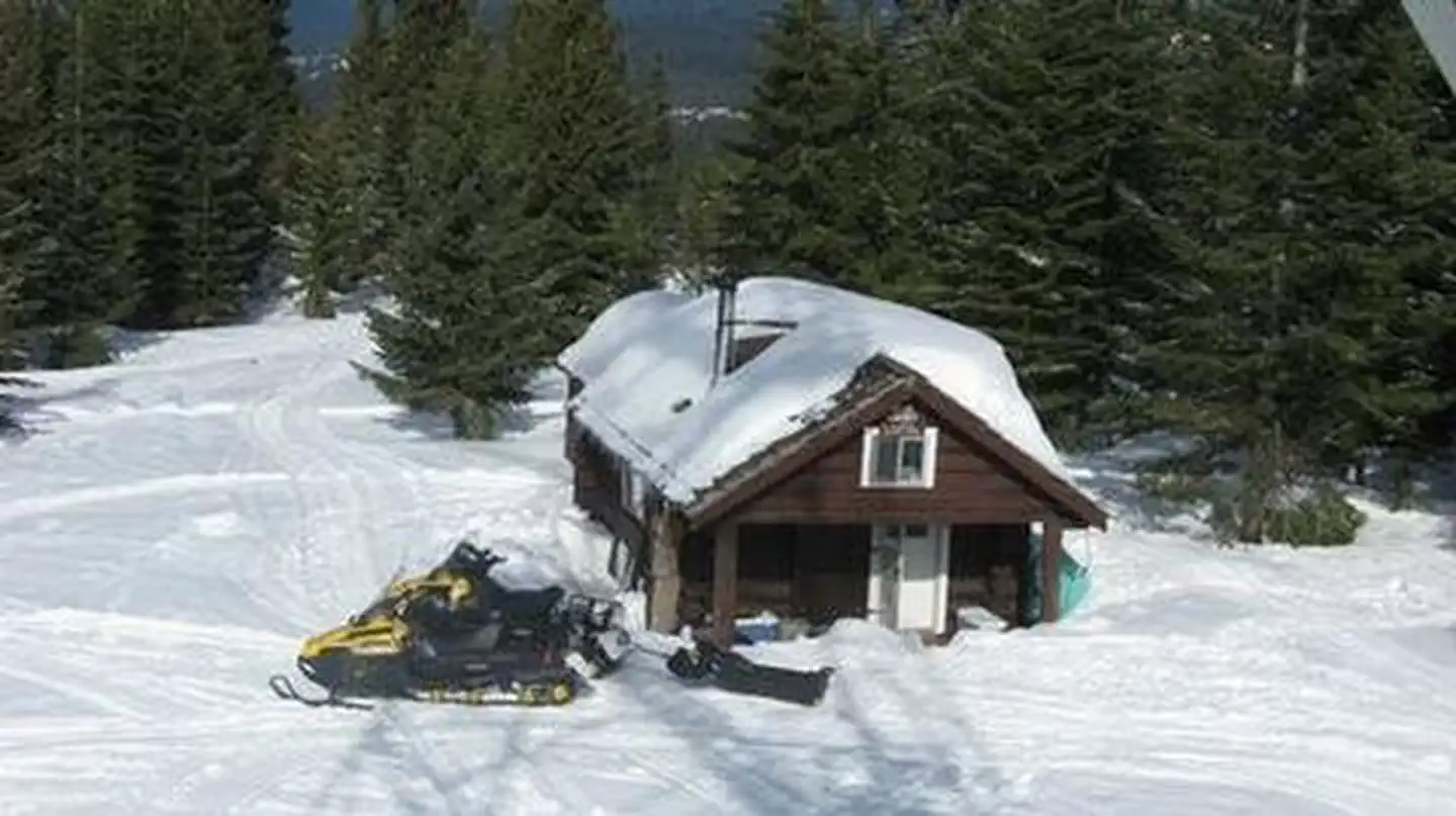 Walde Lookout CabinCampground · 1 sites
Overview Walde Lookout Cabin was built in 1941 to house the employees who worked in the adjacent fire lookout, which was built in 1939.
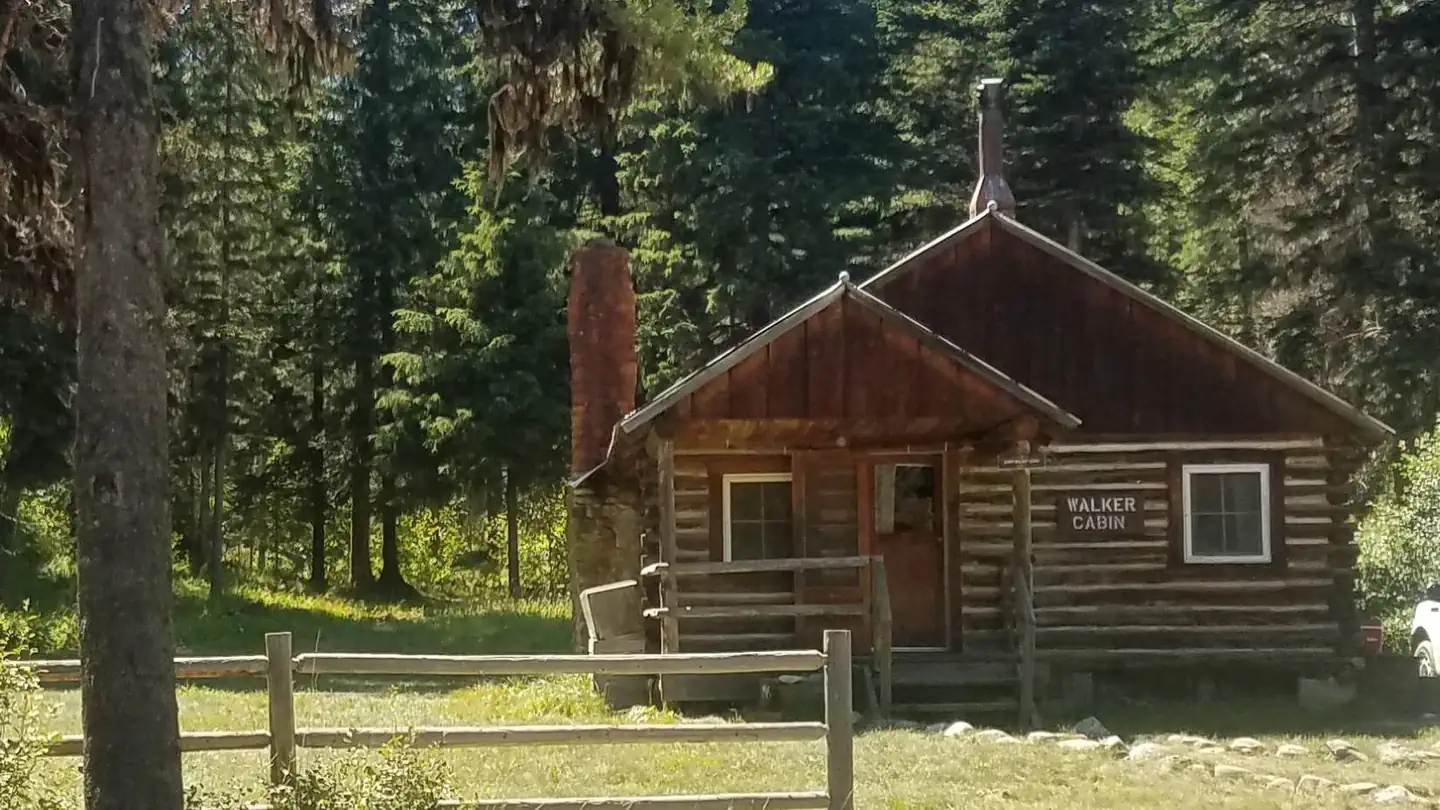 Walker CabinCampground · 1 sites
Overview Walker Cabin is nestled among trees just off Crooked River Road #233, which leads into the Gospel-Hump Wilderness Area, in the Nez Perce National…
- Wallace Lake CampgroundCampground · not watchable
12 campsites on Wallace Lake with picnic tables and fire rings. Within the campground are vault toilets and drinking water. Fishing in the lake.
- Wallowa Mtns/Eagle Cap AreaFacility · not watchable
The Wallowa Mountains/Eagle Cap Area is located in the center of the Wallowa Mountains west of Enterprise, east of LaGrande, Oregon, and north of Halfway,…
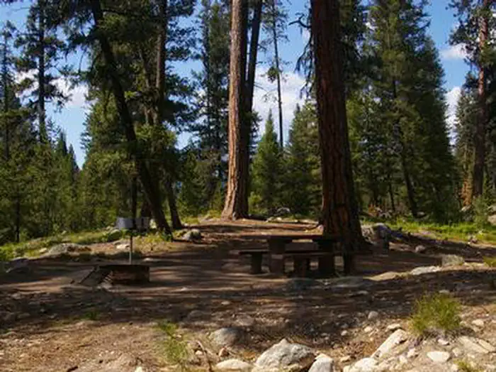 Warm LakeCampground · 7 sites
Overview Warm Lake Campground is near the eastern shore of beautiful Warm Lake, at an elevation of 5,300 feet.
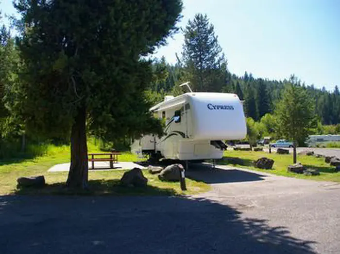 Warm RiverCampground · 24 sites
Overview Warm River Campground is located on its namesake in the Caribou-Targhee National Forest of southwestern Idaho.
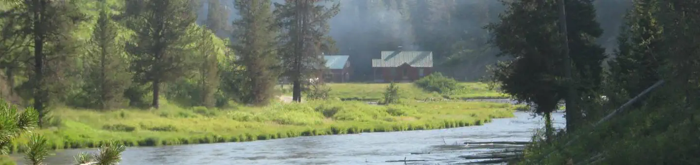 Warm River CabinCampground · 1 sites
Overview Warm River Cabin is located less than 20 miles from Ashton, Idaho, at Warm River Springs.
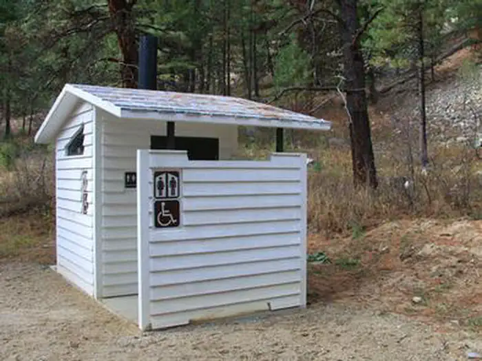 Warm Springs Guard StationCampground · 2 sites
Overview Historic Warm Springs Guard Station is open year-round and has recently been restored to reflect its original finishes and paint.
- Warm Springs TrailheadFacility · not watchable
Warm Springs Trailhead serves as access to the Selway Bitterroot Wilderness and to the Jerry Johnson Hot Springs.
- Warm Springs Trailhead (Airstrip)Facility · not watchable
The Warm Springs Trailhead (Airstrip) is a signed site which includes an information kiosk, loading/unloading ramps for ATVs, hitching rack and registration…
- Warm Springs Trailhead (Bull Trout)Facility · not watchable
The Warm Springs Trailhead (Bull Trout) is a signed site with a registration box, corral, loading/unloading ramp for animals and visitor information.
- Washington Creek CampgroundCampground · not watchable
Crossing the bridge over to Washington Creek Campground, visitors gain a splendid view overlooking the North Fork of the Clearwater River. This campground…
- Wendover CampgroundCampground · not watchable
Wendover Campground is situated on stretch of land along the Wild and Scenic Lochsa River off the Northwest Passage Scenic Byway and All American Road (US…
- West Eagle Meadows TrailheadFacility · not watchable
The West Eagle Meadows Trailhead is one of the 'late season' trailheads to open in the early summer due to the area's heavy snow accumulation and high…
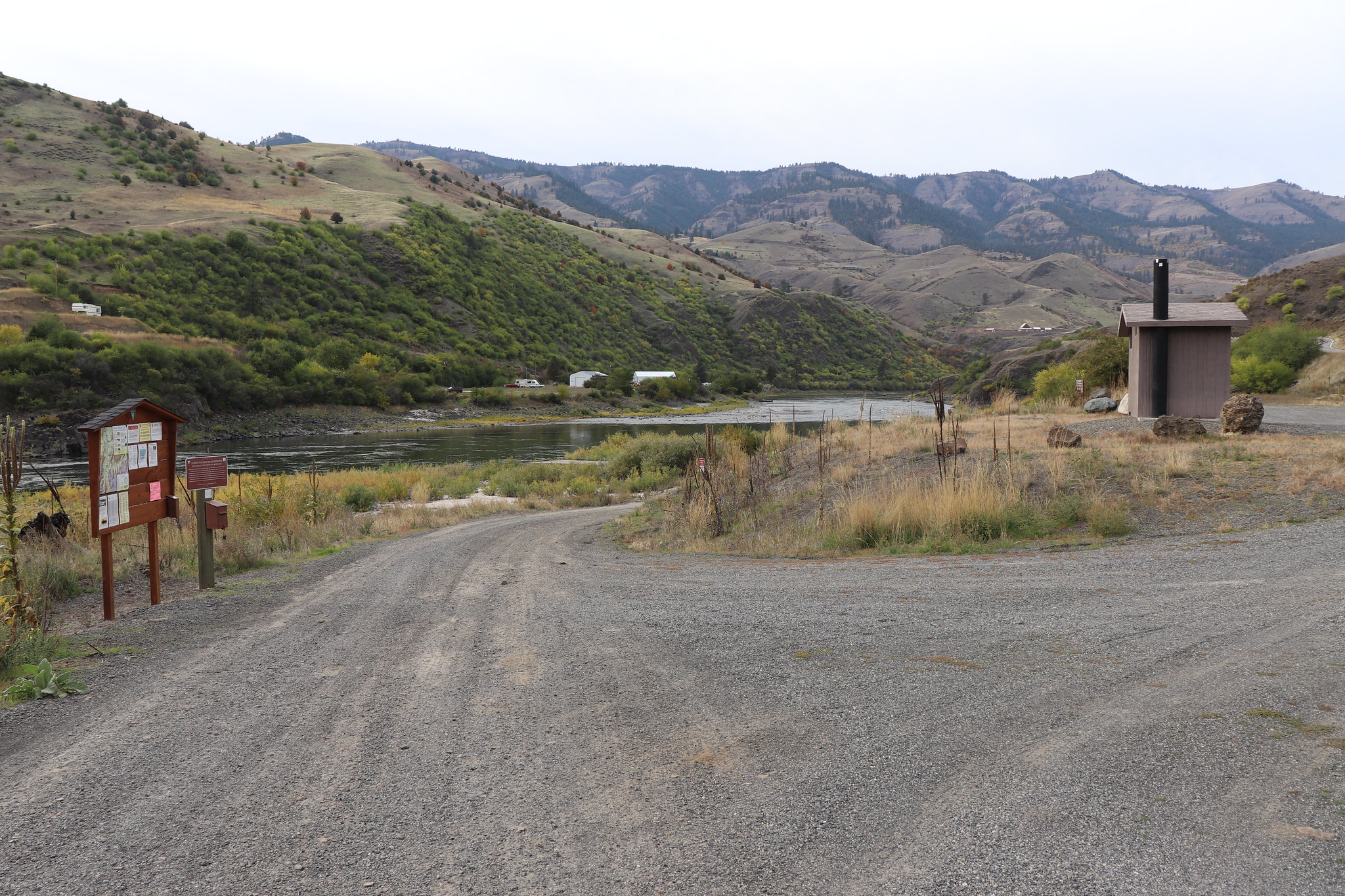 White Bird Gravel Pit Recreation SiteFacility · not watchable
This day use site on the Lower Salmon is a frequent put-in spot for floating the Lower Salmon River from White Bird to Pine Bar or Heller Bar.
- White Sands CampgroundCampground · not watchable
2,100 foot elevation. 4 tent sites, 85 sites for tents or RVs, 2 group sites, and a playground on the Lochsa River.
- Whitehouse CampgroundCampground · not watchable
Approximately an hour west of Lolo, MT at mile post 158.5 of the famous Northwest Passage Scenic Byway and All American Road (US Highway 12), directly across…
- Whitetail CampgroundCampground · not watchable
The Whitetail Campground is located north of Troy on Yaak Hwy 508. The campground has 12 sites, including one host site, with tables and fire rings.
- Whoop Um Up Park N' SkiFacility · not watchable
The Idaho City RD hosts an area 18 miles north of Idaho City off Highway 21 that cross-country skiiers and snowshoers will enjoy.
- Whoop Um Up TrailheadFacility · not watchable
The Whoop Um Up Trailhead includes a restroom and information kiosk. Fees are charged by the State in the winter, however the Forest Service operates it for…
- Wild Goose CampgroundCampground · not watchable
Situated along the middle fork of the Clearwater River at milepost 98 on scenic Highway 12, Wild Goose Campground offers a superb location to feel the sand…
- Wildlife Viewing South Fork Salmon - Fish ViewingFacility · not watchable
The Wildlife Viewing South Fork Salmon - Fish Viewing area is a unique way to view wildlife.
- William H. Pogue National Recreation TrailheadFacility · not watchable
Closure on a portion of the trail. Order #0402-01-059 View Alerts & Notices webpage. The William H.
 Williams Lake CampgroundCampground · 18 sites
Overview Williams Lake Campground offers 9 campsites for both RV and tent camping.
- Williams Lake CampgroundCampground · not watchable
This campground has 11 sites near Williams Lake. Opportunities abound to hike or ride into the Salmon-Challis National Forest or to fish in the nearby lake or…
- Williams Lake CampgroundCampground · not watchable
4500-foot elevation. Picnic area on Williams Lake, with the trailhead to 2 walk-in or boat-in campsites.
- Willow Creek CampgroundCampground · not watchable
The Willow Creek Campground is appoximately 19 miles northeast of Trout Creek on road 154.
- Willow Creek Trailhead (Mountain Home)Facility · not watchable
The Willow Creek Trailhead is a signed site with a restroom and registration box. It provides access to the #300 trails of the Danskin Trail System.
- Windy Saddle Horse CampCampground · 4 sites
Overview Located on Windy Saddle above the Hells Canyon Wilderness, Windy Saddle Horse Camp is a small campground with 4 campsites.
- Wolf Flats Recreation AreaFacility · not watchable
Wolf Flats is a dispersed, undeveloped camping area with 25 locations to camp. Some large areas are can accommodate groups of 50 people.
- Wolverine CanyonFacility · not watchable
Wolverine Canyon has opportunities for dispersed camping, snowmobiling, rock climbing and mountain biking & hiking.
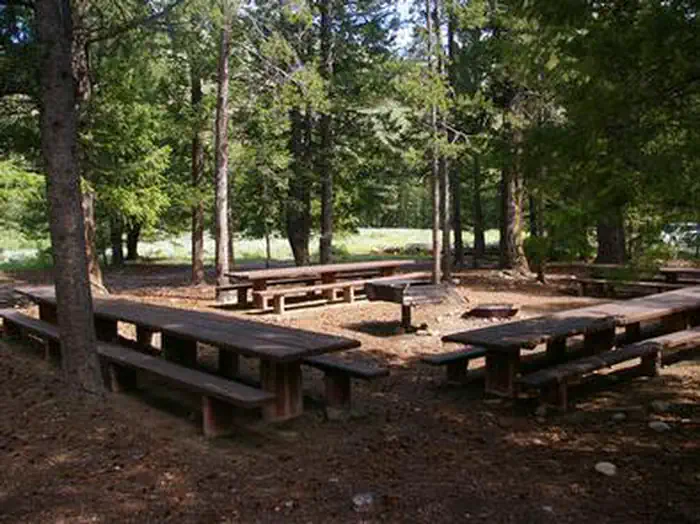 Wood River Group Overnight Area (Tent Only)Campground · 1 sites
Overview Wood River Group Overnight Area is located inside the Wood River Campground, which has 30 single campsites for RV's and tent camping, which are…
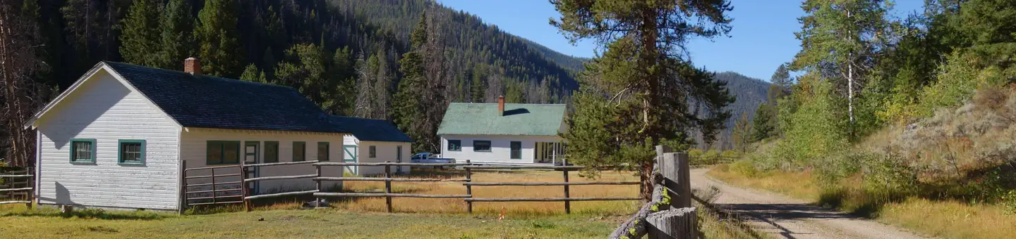 Yellowjacket Guard StationCampground · 1 sites
Overview Yellowjacket Guard Station is a historic Forest Service Ranger Station and Work Center.
Facility information and photographs from Recreation.gov (RIDB). SpotOpened is not affiliated with Recreation.gov or any federal agency.