Robie Creek Park Group Shelter
Campground · Idaho · 1 bookable site ·
Managed by the US Army Corps of Engineers
- 1
- Bookable site
- up to 50
- People per site
- 3,073 ft
- Elevation
Overview
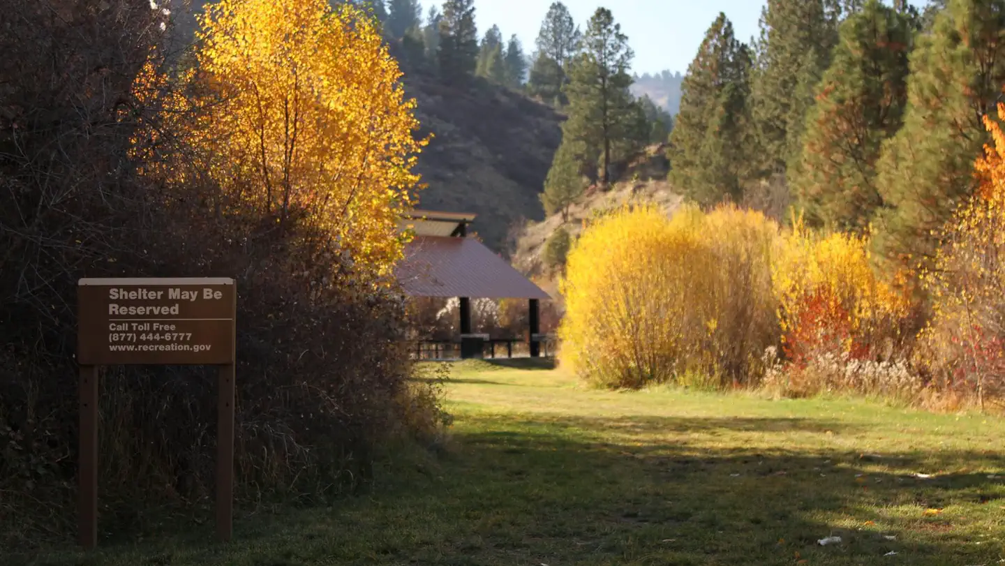
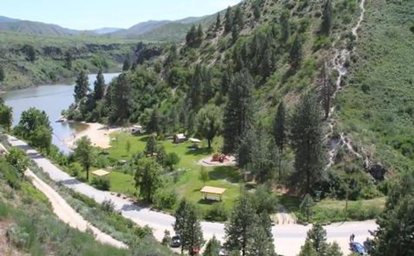
Robie Creek Park is a secluded day use area at the confluence of Mores Creek and Robie Creek on the edge of the Boise National Forest.Recreation
The lake provides great boating opportunities with Robie Creek Launch Area a short walk away. The park area has a playground and buoyed swimming area.Facilities
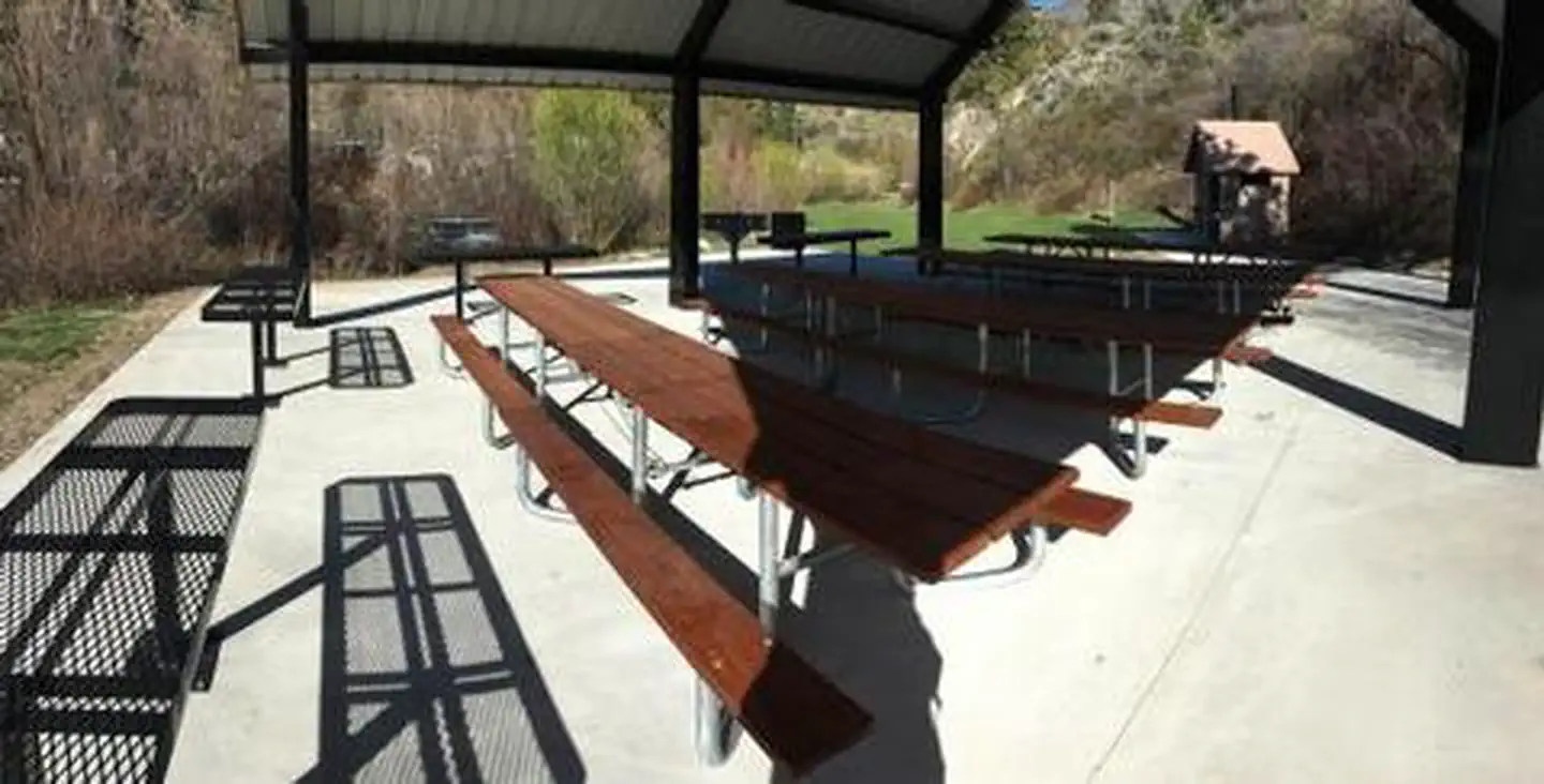
Robie Creek Park has a playground facility, six shade shelters each with a table and stand-up grill, three vault toilets, and one group shelter with 10 picnic tables, high-top serving counters, two large grills and a hot coal bin.Natural Features
This park is alongside the seasonal Robie Creek in the foothills of the Boise Front. Basalt canyons, ponderosa pines, granite outcrops, and steep loose slopes can be seen from the area.The facts
- 1 bookable site
- 1 site for day use only
- Up to 50 people per site
- Loops: ROBIE CREEK PARK GROUP SHELTER
Site types
- 1 Group Shelter Nonelectric
Amenities
- Picnic tables
- Grills
- Shade
- Pets allowed
Not recorded upstream: electric hookups, water hookups, sewer hookups, campfires allowed, fire pits.
1 campsite at Robie Creek Park Group Shelter
Check-in 9:00 AM · Check-out 9:00 PM
| Site | Loop | Type | Entry | Surface | Max rig | People | |
|---|---|---|---|---|---|---|---|
| Group Shelter | ROBIE CREEK PARK GROUP SHELTER | Group Shelter Nonelectric | — | — | — | 50 | 🐾 |
Getting there
From the intersection of Warm Springs Road and Highway 21, turn onto northbound Highway 21 towards Idaho City. Continue straight along Highway 21 for 9.2 miles, passing by Lucky Peak Dam and the Forest Service Nursery. Continue straight after crossing the Mores Creek "High Bridge" another 2.3 miles. Approximately mile-marker 21, as the road begins its decent into Mores Creek canyon and the speed limit reduces from 55MPH to 45MPG, prepare to make a hairpin left turn onto Robie Creek Road. Continue straight along Robie Creek Road, passing Mores Creek Park, to Robie Creek Park. Pass by Robie Creek Launch Area on your left and arrive at a large graveled parking area 100 feet down the road on the right. You are now at Robie Creek Park.
43.63046, -115.99673 · 43°37'49.6"N 115°59'48.2"W
Typical weather
Typically 92°F in Jul, down to 37°F in Jan.
| Jan | Feb | Mar | Apr | May | Jun | Jul | Aug | Sep | Oct | Nov | Dec | |
|---|---|---|---|---|---|---|---|---|---|---|---|---|
| High °F | 37 | 43 | 53 | 61 | 71 | 80 | 92 | 91 | 80 | 65 | 48 | 37 |
| Low °F | 22 | 25 | 32 | 37 | 44 | 50 | 59 | 57 | 49 | 38 | 30 | 24 |
| Precip in | — | — | — | — | — | — | — | — | — | — | — | — |
1991–2020 averages from the nearest NOAA station, 4.5 mi away — not measured at the facility itself, and elevation can make a real difference over that distance.
Map
More photos
Member photos
Common questions about Robie Creek Park Group Shelter
- Can you reserve a site at Robie Creek Park Group Shelter?
- Yes, Robie Creek Park Group Shelter is reservable through Recreation.gov.
- How many campsites does Robie Creek Park Group Shelter have?
- 1 site.
- Are pets allowed at Robie Creek Park Group Shelter?
- Yes, pets are allowed at Robie Creek Park Group Shelter.
Camping near Robie Creek Park Group Shelter
- Macks Creek Campground 3.2 mi · Campground · we watch it
- Lucky Peak Lake Tours and Programs 7.8 mi · Tickets · we watch it
- Shafer Butte 11.4 mi · Campground · we watch it
- Hulls Gulch Interpretive Trail 6.7 mi · Facility
- Lower Hull's Gulch Trailhead 7.5 mi · Facility
- 8th Street Trailhead 7.6 mi · Facility
- Cottonwood Campground 8.5 mi · Campground
- Bender Creek Trailhead 9.5 mi · Facility
- Miller Gulch Trailhead 9.7 mi · Facility
- Three Point Mountain Trailhead 9.8 mi · Facility
- Willow Creek Trailhead (Mountain Home) 11.3 mi · Facility
- Willow Creek Campground (Mountain Home) 12.2 mi · Campground
Contact
- Phone 208-343-0671
- Email LuckyPeakLake@usace.army.mil
- Book Recreation.gov
Recreation.gov last updated this record on 2026-03-11.
Facility information and photographs from Recreation.gov (RIDB). SpotOpened is not affiliated with Recreation.gov or any federal agency.
Comments