Main Salmon River (Powerboat)
Permit · Idaho ·
Managed by the USDA Forest Service
Lower Salmon River (Eligible - Recreational) · Open Access
- 1,561 ft
- Elevation
Overview:
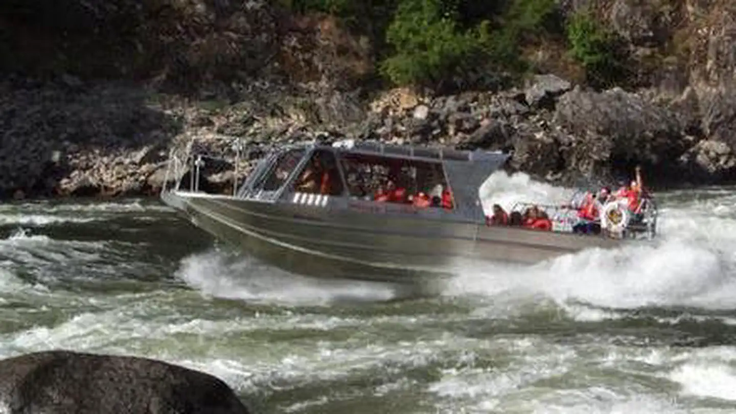
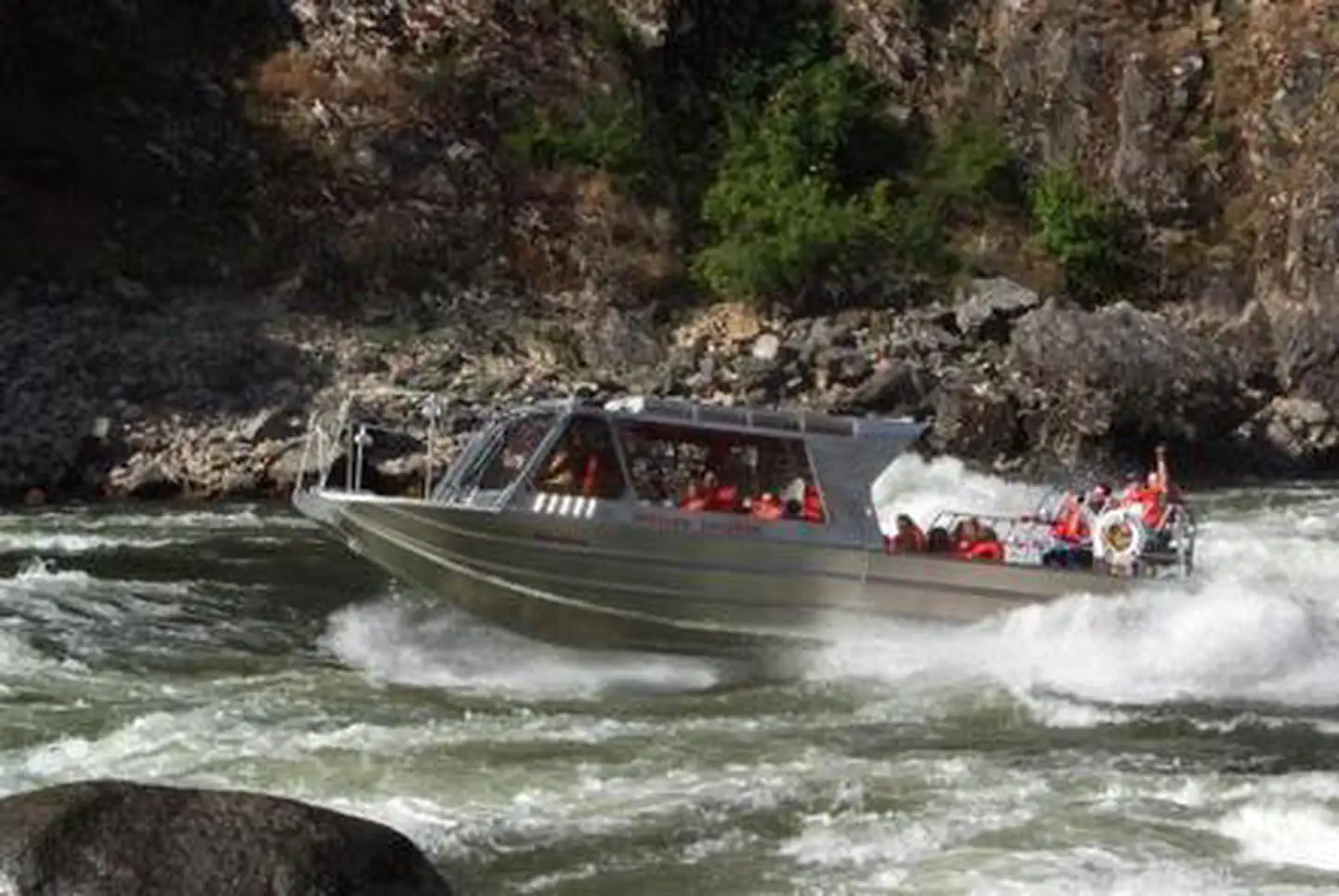
The Main Salmon Wild and Scenic River (Long Tom Bar to Corn Creek) offers powerboat users a fun, challenging and beautiful trip through a deep and rugged canyon. The Main Salmon River travels east to west for over 80 miles bisecting both the Frank Church River of No Return and Selway Bitterroot Wilderness areas. This undammed, free flowing river contains many class III and some class IV rapids, depending on water level, and its whitewater characteristics change greatly over the course of the year as flows fluctuate. The Main Salmon not only offers river users the opportunity to seek solitude, but also provides a unique glimpse into the past, from prehistoric pictographs to old homesteads.There are two primary seasons on the Main Salmon, control and non-control. The control season lasts from June 20 through September 7 each year, and during that period a limit has been set at six powerboats on the river per day, with no more than three powerboats traveling together as a group. The maximum stay is limited to six nights and seven days during this season with a maximum group size of 30. All power boaters are required to pay the fee of $4.00 per person per day and carry a valid permit. In addition, each powerboat must have a shovel, bucket, strainer, portable toilet and a fire pan at all times.
For those heading out during the non-control season between September 8 and June 19, the maximum stay is 10 days and nine nights. There is no limit on the number of power boats allowed on the river during this time, and all campsites are first-come-first-served. The group size and equipment requirements remain the same year round. It is prohibited to leave your camp or equipment unattended for over 24 hours without prior approval.
Getting there
.
45.63750, -116.28250 · 45°38'15.0"N 116°16'57.0"W
Typical weather
Typically 90°F in Aug, down to 40°F in Dec.
| Jan | Feb | Mar | Apr | May | Jun | Jul | Aug | Sep | Oct | Nov | Dec | |
|---|---|---|---|---|---|---|---|---|---|---|---|---|
| High °F | 41 | 46 | 55 | 62 | 71 | 78 | 90 | 90 | 80 | 64 | 48 | 40 |
| Low °F | 25 | 26 | 30 | 35 | 41 | 47 | 52 | 52 | 45 | 36 | 29 | 25 |
| Precip in | 1.3 | 1.4 | 1.8 | 2.0 | 2.2 | 1.7 | 0.8 | 0.7 | 1.2 | 1.5 | 1.4 | 1.4 |
1991–2020 averages from the nearest NOAA station, 20.3 mi away — not measured at the facility itself, and elevation can make a real difference over that distance.
Map
Ways in
Showing 1 of 1.
- Main Salmon River — Boat Launch
More photos
Member photos
Common questions about Main Salmon River (Powerboat)
- Can you reserve a site at Main Salmon River (Powerboat)?
- Yes, Main Salmon River (Powerboat) is reservable through Recreation.gov.
Camping near Main Salmon River (Powerboat)
- Slate Creek Recreation Site 0.7 mi · Facility
- Skookumchuck Recreation Site 4.7 mi · Facility
- Hells Canyon National Recreation Area - Idaho 5.6 mi · Facility
- White Bird Gravel Pit Recreation Site 7.1 mi · Facility
- Lucile Recreation Site 7.2 mi · Facility
- Blackerby Picnic Area 7.3 mi · Facility
- Old Lucile Recreation Site 7.9 mi · Facility
- North Fork Slate Creek Campground 8.2 mi · Campground
- Hammer Creek Recreation Site 8.8 mi · Facility
- Iron Phone Junction Campground 9.2 mi · Campground
- Pittsburg Landing Boat Launch 9.4 mi · Facility
- Pittsburg Campground 9.4 mi · Facility
Contact
- Book Recreation.gov
Recreation.gov last updated this record on 2026-02-25.
Facility information and photographs from Recreation.gov (RIDB). SpotOpened is not affiliated with Recreation.gov or any federal agency.
Comments