Loristica Group Campground
Campground · Idaho · 1 bookable site ·
Managed by the USDA Forest Service
Challis National Forest (NF) · Open Access
- 1
- Bookable site
- 25 ft
- Max rig length
- up to 100
- People per site
- 7,757 ft
- Elevation
Overview
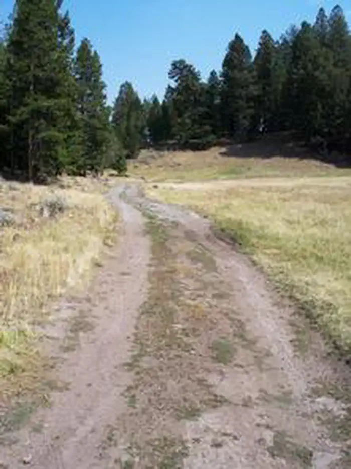
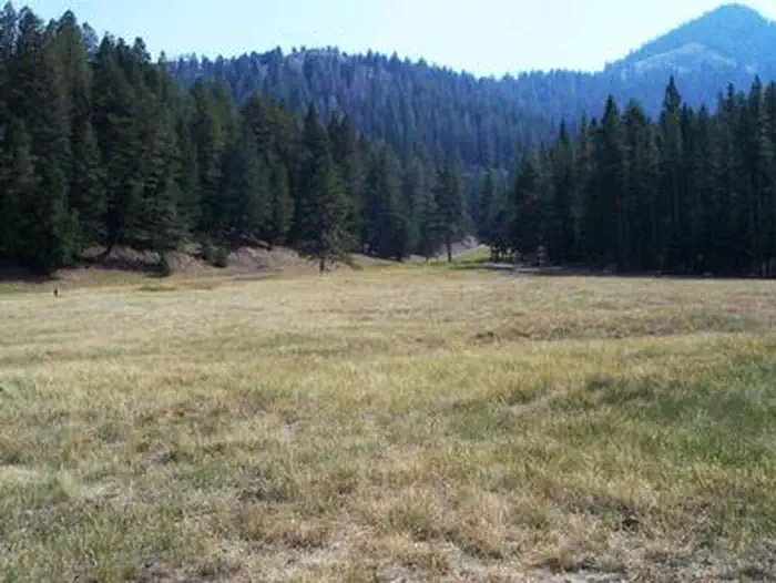
Loristica Group Campground is located in a wooded meadow high in the Lost Creek Range, in eastern Idaho. It sits at an elevation of 8,100 feet. Visitors come to the area for its great trail opportunities and scenic beauty.Recreation
Two trailheads can be accessed within a mile of the campground. The Bear-Wet Creek Trail is open to hiking, horseback riding and off-road vehicles.The Long Lost-Wet Creek Trail is a non-motorized trail leading to a high plateau with spectacular views of Little Lost and Big Mountain Ranges. Visitors should watch for bighorn sheep, deer and elk in the Big Creek area, along the trail.
Facilities
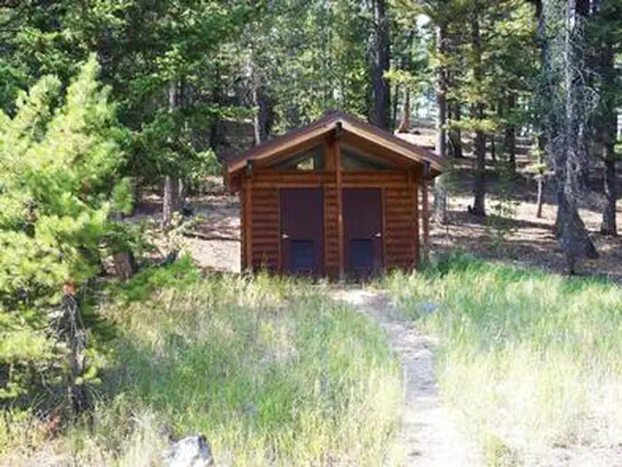
This rustic campground is a group reservation site that can accommodate up to 100 people among seven individual campsites. Though few amenities are present, picnic tables, fire rings and vault toilets are provided. An amphitheater with a campfire circle is also on-site.Natural Features
The campground is situated among Douglas fir, lodgepole pine and aspen trees. A variety of wildlife, including deer, elk, bears, foxes and coyotes, makes its home in the surrounding area.The facts
- 1 bookable site
- Vehicles up to 25 ft
- Up to 100 people per site
- Loops: LORGC
Site types
- 1 Group Standard Nonelectric
Amenities
- Shade
Not recorded upstream: electric hookups, water hookups, sewer hookups, campfires allowed, fire pits, picnic tables, grills, pets allowed.
1 campsite at Loristica Group Campground
Check-in 2:00 PM · Check-out 2:00 PM
| Site | Loop | Type | Entry | Surface | Max rig | People | |
|---|---|---|---|---|---|---|---|
| 001 | LORGC | Group Standard Nonelectric | Pull Through | Gravel | 25 ft | 100 |
Getting there
From Mackay, Idaho, travel 6.5 miles south on Highway 93. Turn left at the Forest Access/Pass Creek sign. Drive approximately 9 miles to Pass Creek Summit and turn left at the sign for Loristica. Proceed approximately 1 mile, then bear right at the sign to the campground gate.
44.02278, -113.46694 · 44°1'22.0"N 113°28'1.0"W
Typical weather
| Jan | Feb | Mar | Apr | May | Jun | Jul | Aug | Sep | Oct | Nov | Dec | |
|---|---|---|---|---|---|---|---|---|---|---|---|---|
| High °F | — | — | — | — | — | — | — | — | — | — | — | — |
| Low °F | — | — | — | — | — | — | — | — | — | — | — | — |
| Precip in | 2.1 | 2.2 | 2.5 | 2.0 | 2.2 | 2.0 | 1.2 | 1.3 | 1.5 | 1.9 | 1.9 | 2.5 |
1991–2020 averages from the nearest NOAA station, 0.2 mi away — not measured at the facility itself, and elevation can make a real difference over that distance.
Map
More photos
Member photos
Common questions about Loristica Group Campground
- Can you reserve a site at Loristica Group Campground?
- Yes, Loristica Group Campground is reservable through Recreation.gov.
- How many campsites does Loristica Group Campground have?
- 1 site.
- What is the maximum RV length at Loristica Group Campground?
- 25 ft. That is the longest vehicle the sites here are recorded as taking; individual sites may be shorter.
Camping near Loristica Group Campground
- Joe T. Fallini Recreation Site 11.4 mi · Campground · we watch it
- Copper Basin Guard Station 23.8 mi · Campground · we watch it
- Meadow Lake Campground 29.4 mi · Campground · we watch it
- Loristica Group Campground 0.9 mi · Campground
- Big Lost River Access Trail 11.3 mi · Facility
- West Fork Upper Pahsimeroi Trailhead 14.9 mi · Campground
- Mt. Borah Trailhead and Camping Area 19.9 mi · Campground
- Mill Creek Trailhead & Campground 24.3 mi · Campground
- Timber Creek Campground 26.1 mi · Campground
- Lake Creek Trailhead & Campground 28 mi · Campground
- Birch Creek Campground 29.3 mi · Campground
- Big Creek Campground 29.7 mi · Campground
Contact
- Book Recreation.gov
Recreation.gov last updated this record on 2026-02-25.
Facility information and photographs from Recreation.gov (RIDB). SpotOpened is not affiliated with Recreation.gov or any federal agency.
Comments