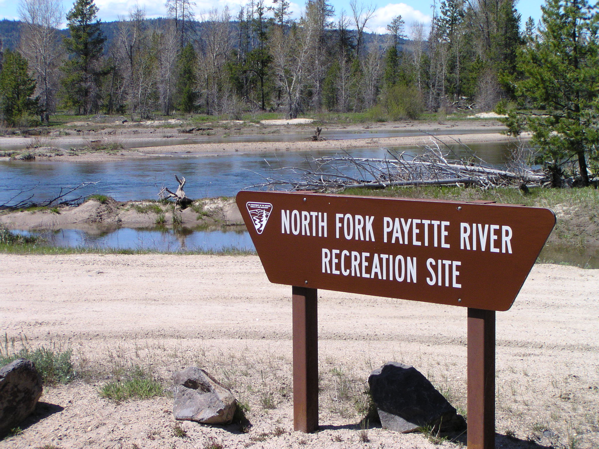
North Fork Payette Rec Site
Facility · Idaho ·
Managed by the Bureau of Land Management
Four Rivers Field Office (Bureau of Land Management ID) · Open Access
- 4,836 ft
- Elevation
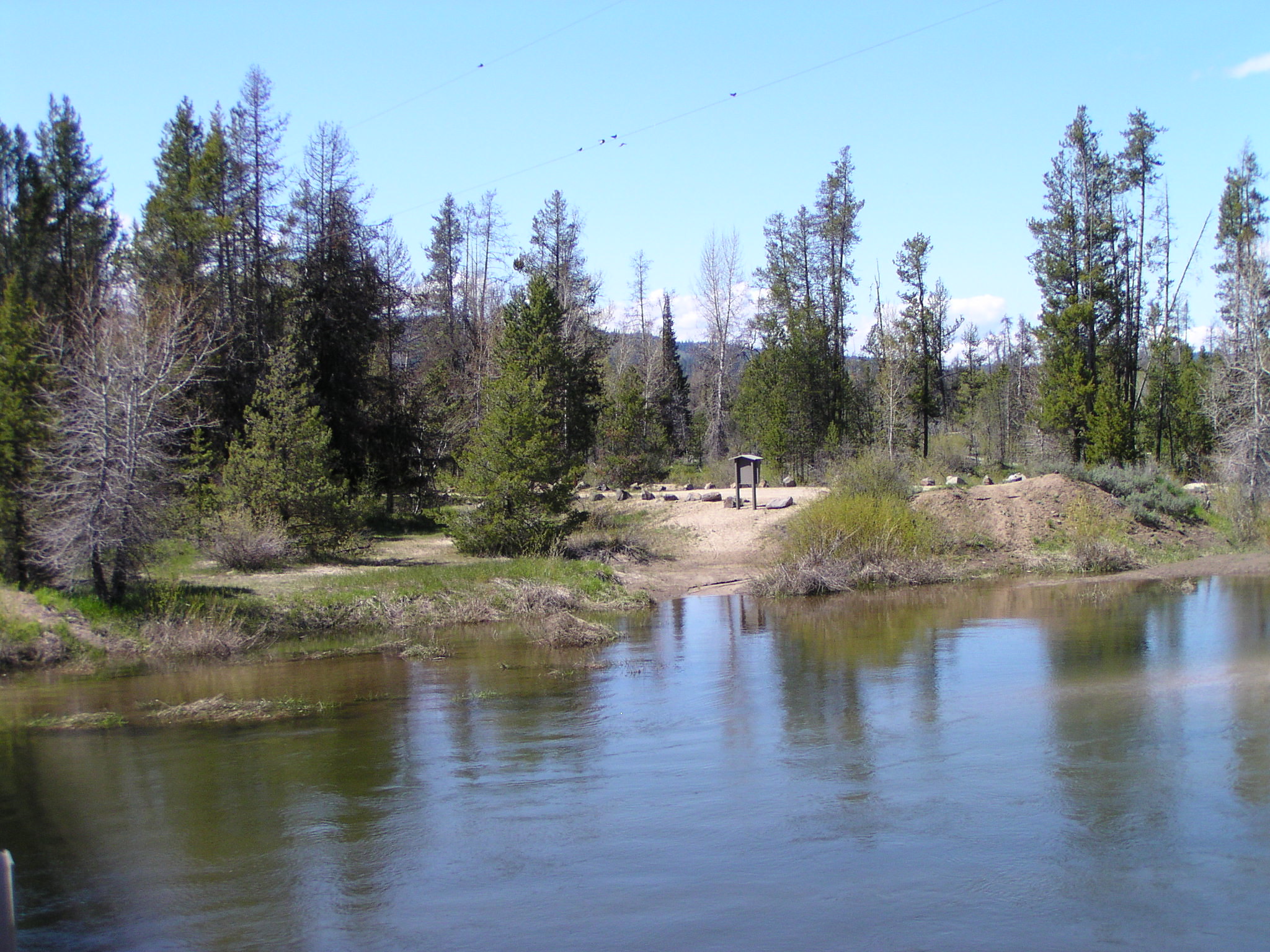
Whether you are just relaxing on the small sandy beach, swimming in its cool waters, or trying to coax a trout to the end of your line, the North Fork Payette River is very inviting on a hot summer day. The North Fork recreation site is an undeveloped spot to enjoy various types of river related activities. The surrounding woods also offer opportunities for viewing an assortment of wildlife.
Getting there
About 11 miles south of McCall, Idaho. From downtown McCall, follow Highway 55 south 8.5 miles and turn west on Smylie Lane. Follow Smylie Lane about 3 miles to the Payette River. Turn into the site 400 feet west of the Payette River bridge.
44.79111, -116.14222 · 44°47'28.0"N 116°8'32.0"W
Typical weather
| Jan | Feb | Mar | Apr | May | Jun | Jul | Aug | Sep | Oct | Nov | Dec | |
|---|---|---|---|---|---|---|---|---|---|---|---|---|
| High °F | — | — | — | — | — | — | — | — | — | — | — | — |
| Low °F | — | — | — | — | — | — | — | — | — | — | — | — |
| Precip in | 3.2 | 2.4 | 3.2 | 2.3 | 2.3 | 1.5 | 0.5 | 0.5 | 1.1 | 1.8 | 3.0 | 3.8 |
1991–2020 averages from the nearest NOAA station, 2.6 mi away — not measured at the facility itself, and elevation can make a real difference over that distance.
Map
Fees and stay limits
No fees.
Stay limit: Day use only.
From Recreation.gov, which is not always current. The operator's own page is the authority on what you will be charged.
More photos
Member photos
Common questions about North Fork Payette Rec Site
- Can you reserve a site at North Fork Payette Rec Site?
- No. North Fork Payette Rec Site is not reservable through Recreation.gov, so sites are first-come, first-served or booked elsewhere.
- How long can you stay at North Fork Payette Rec Site?
- Day use only.
Camping near North Fork Payette Rec Site
- Rainbow Point 6 mi · Campground · we watch it
- Amanita 6.2 mi · Campground · we watch it
- Paddy Flat Guard Station 9.8 mi · Campground · we watch it
- Cabin Creek 11.4 mi · Campground · we watch it
- Kennally Creek 13.1 mi · Campground · we watch it
- Lake Fork 13.2 mi · Campground · we watch it
- Last Chance 13.8 mi · Campground · we watch it
- Evergreen Campground 13.9 mi · Campground · we watch it
- Paddy Flat Camping Area 9.8 mi · Campground
- Rapid Creek Camping Area 10.3 mi · Campground
- Black Lee Camping Area 16.3 mi · Campground
- Brundage Reservoir Dam Day Use Site 17.3 mi · Campground
Contact
- Phone 208-384-3300
- Email BLM_ID_FourRiversOffice@blm.gov
- Info Recreation.gov
Recreation.gov last updated this record on 2026-03-27.
Facility information and photographs from Recreation.gov (RIDB). SpotOpened is not affiliated with Recreation.gov or any federal agency.
Comments