Gamlin Lake
Facility · Idaho ·
Managed by the Bureau of Land Management
- 2,089 ft
- Elevation
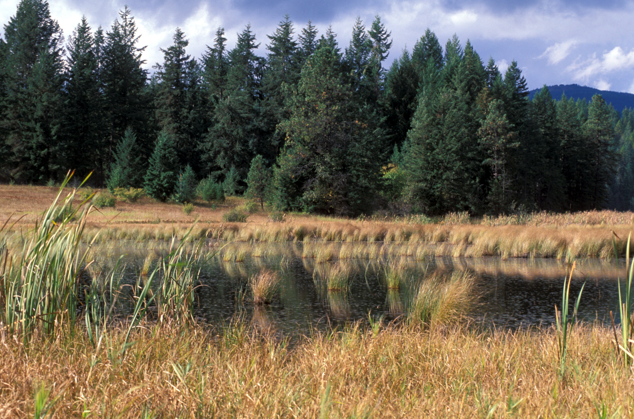
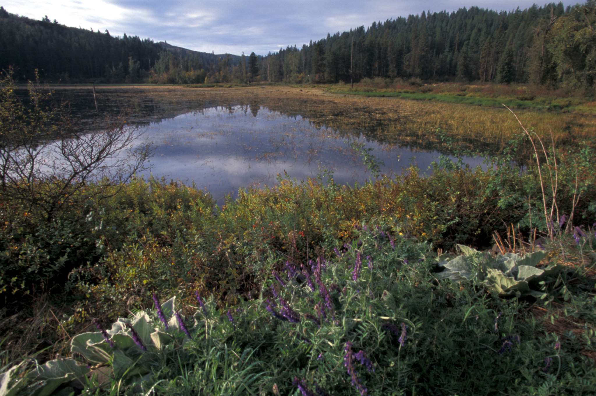
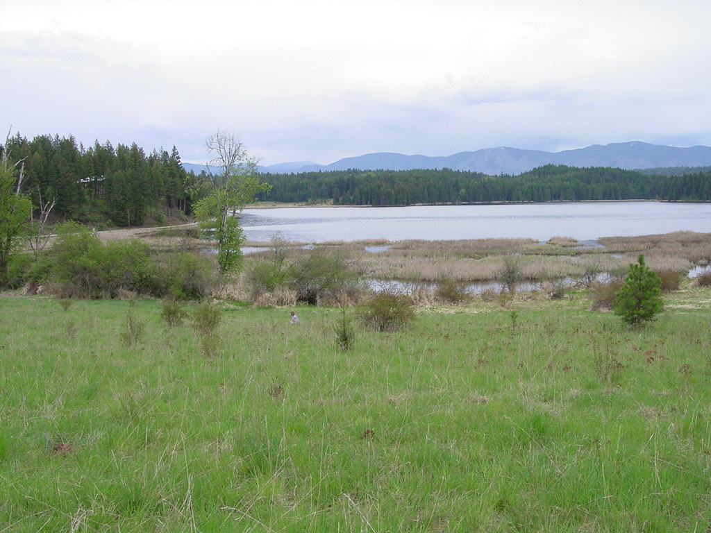
Gamlin Lake Trail system offers three miles of gentle and easy trail through a forest overstory, providing foot access to Gamlin Lake. The trail is closed to motorized use and equestrians. The trail can also be used for cross-country skiing during the winter, but is not groomed. Moose, osprey and warm water fish species such as bass, perch and crappie flourish in Gamlin Lake’s unique and special wetland habitat.
Getting there
Located 16 miles southeast of Sandpoint, Idaho. Follow Highway 95 south from Sandpoint for 4 miles then east on Sagle Road for 12 miles. Turn east onto Sagle Road about 6 miles south of Sandpoint, Idaho. Proceed approximately 12 miles on Sagle Road and then turn right onto Glengary Road for about 1/2 mile to the parking area.
48.22246, -116.38787 · 48°13'20.9"N 116°23'16.3"W
Typical weather
| Jan | Feb | Mar | Apr | May | Jun | Jul | Aug | Sep | Oct | Nov | Dec | |
|---|---|---|---|---|---|---|---|---|---|---|---|---|
| High °F | — | — | — | — | — | — | — | — | — | — | — | — |
| Low °F | — | — | — | — | — | — | — | — | — | — | — | — |
| Precip in | 4.0 | 2.4 | 3.9 | 2.3 | 2.6 | 2.4 | 1.0 | 0.9 | 1.4 | 3.1 | 4.0 | 4.0 |
1991–2020 averages from the nearest NOAA station, 7.3 mi away — not measured at the facility itself, and elevation can make a real difference over that distance.
Map
Fees and stay limits
Non-fee site
Stay limit: No Camping
From Recreation.gov, which is not always current. The operator's own page is the authority on what you will be charged.
More photos
Member photos
Common questions about Gamlin Lake
- Can you reserve a site at Gamlin Lake?
- No. Gamlin Lake is not reservable through Recreation.gov, so sites are first-come, first-served or booked elsewhere.
- How long can you stay at Gamlin Lake?
- No Camping
Camping near Gamlin Lake
- Sam Owen 4.8 mi · Campground · we watch it
- Springy Point 9.1 mi · Campground · we watch it
- Lunch Peak Lookout 13.7 mi · Campground · we watch it
- Riley Creek 18.1 mi · Campground · we watch it
- Priest River 23.4 mi · Campground · we watch it
- Green Bay Campground 3.2 mi · Campground
- Pend Oreille Lake Area 5.8 mi · Facility
- Maiden Rock Campground 10.2 mi · Campground
- Whiskey Rock Bay Campground 12.2 mi · Campground
- Lunch Peak Lookout 13.8 mi · Campground
- Spar Lake Campground 20.2 mi · Campground
- Ross Creek Cedars 21.8 mi · Facility
Contact
- Phone 208-769-5000
- Email BLM_ID_Coeurd'AleneOffice@blm.gov
- Info Recreation.gov
Recreation.gov last updated this record on 2026-06-05.
Facility information and photographs from Recreation.gov (RIDB). SpotOpened is not affiliated with Recreation.gov or any federal agency.
Comments