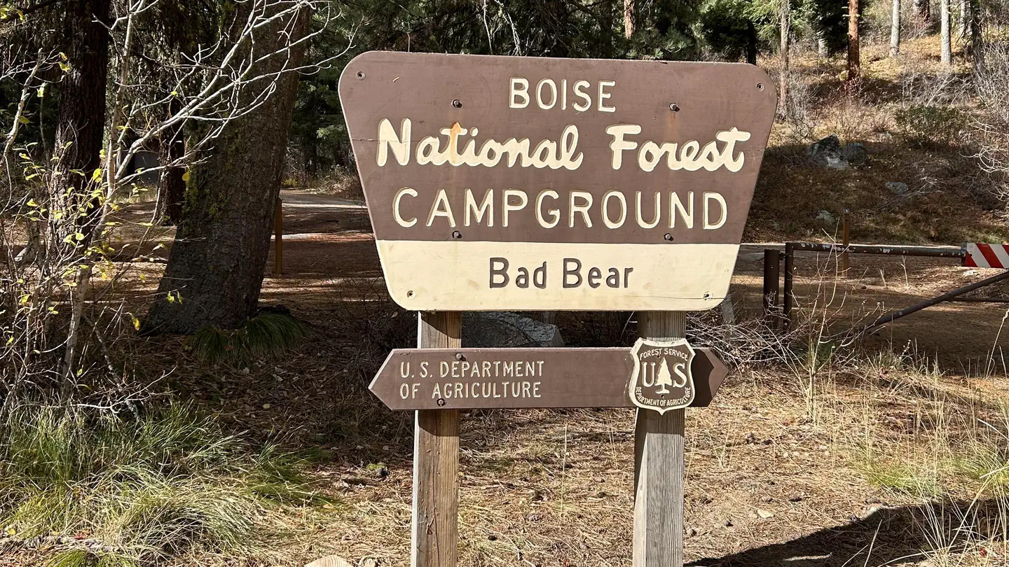
Bad Bear Campground
Campground · Idaho · 6 bookable sites ·
Managed by the USDA Forest Service
Boise National Forest (NF) · Open Access
- 6
- Bookable sites
- 40 ft
- Max rig length
- up to 12
- People per site
- 5,262 ft
- Elevation
Overview
Bad Bear Campground is located 48 miles northeast of Boise, Idaho, in the scenic Boise National Forest on the Idaho City Ranger District, along Highway 21 at an elevation of 5,100 feet. Wildlife and summer wildflowers are abundant. Historic Idaho City is just 11 miles south. Mores Creek runs adjacent to the site, offering whitefish and rainbow trout fishing.
Highway 21, also known as the Ponderosa Pine Scenic Byway, snakes along Mores Creek to Mores Creek Summit, Gold Fork, and Banner Ridge with breathtaking views of the surrounding mountains and forest.
Recreation
Numerous trail opportunities are in the area, offering hiking, biking, horseback riding, and ATVing. In winter, the area becomes a playground for backcountry skiers and snowmobilers.Facilities
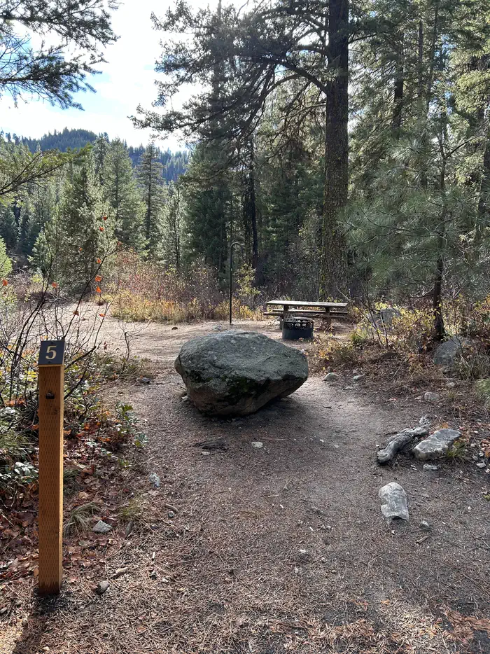
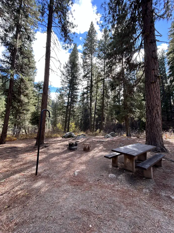
This campground contains 5 single sites that can accommodate up to 6 people each, and one double site that can accommodate 12. Picnic tables and fire rings are provided, and most sites also have lantern hooks. The site is in an open area with shade in all sites. Vault toilets are provided. Parking spurs are paved. Due to its proximity to the highway, some noise from passing traffic is to be expected. No trash service. Pack-in-pack-out.
Contact Info
This location is unstaffed. To speak with our main office for general information, please call: (208) 392-3700.Nearby Attractions
The facts
- 6 bookable sites
- Vehicles up to 40 ft
- Up to 12 people per site
- Loops: BAD BEAR CAMPGROUND
Site types
- 4 Standard Nonelectric
- 2 Tent Only Nonelectric
Amenities
- Campfires allowed
- Fire pits
- Picnic tables
- Shade
- Pets allowed
- Water hookups — not available
- Sewer hookups — not available
Not recorded upstream: electric hookups, grills.
6 campsites at Bad Bear Campground
| Site | Loop | Type | Entry | Surface | Water | Max rig | People | |
|---|---|---|---|---|---|---|---|---|
| 001 | BAD BEAR CAMPGROUND | Standard Nonelectric | Back In | Paved | — | 36 ft | 6 | 🐾 |
| 002 | BAD BEAR CAMPGROUND | Standard Nonelectric | Back In | Paved | Springs | 40 ft | 6 | 🐾 |
| 003 | BAD BEAR CAMPGROUND | Standard Nonelectric | Back In | Paved | Springs | 33 ft | 12 | 🐾 |
| 004 | BAD BEAR CAMPGROUND | Tent Only Nonelectric | Back In | Paved | Springs | 17 ft | 6 | 🐾 |
| 005 | BAD BEAR CAMPGROUND | Tent Only Nonelectric | Back In | Paved | Springs | 30 ft | 6 | 🐾 |
| 006 | BAD BEAR CAMPGROUND | Standard Nonelectric | Back In | Paved | — | 30 ft | 6 | 🐾 |
Getting there
From the Idaho City Ranger Station, drive north on Highway 21 for almost 10 miles, then turn left at the sign for Bad Bear Campground. Bad Bear Campground is located at milepost 48, just beyond Ten Mile Campground.
43.90861, -115.69639 · 43°54'31.0"N 115°41'47.0"W
Typical weather
| Jan | Feb | Mar | Apr | May | Jun | Jul | Aug | Sep | Oct | Nov | Dec | |
|---|---|---|---|---|---|---|---|---|---|---|---|---|
| High °F | — | — | — | — | — | — | — | — | — | — | — | — |
| Low °F | — | — | — | — | — | — | — | — | — | — | — | — |
| Precip in | 7.6 | 5.5 | 5.5 | 3.6 | 2.9 | 1.9 | 0.5 | 0.6 | 1.1 | 2.8 | 5.7 | 8.5 |
1991–2020 averages from the nearest NOAA station, 2 mi away — not measured at the facility itself, and elevation can make a real difference over that distance.
Map
More photos
Member photos
Common questions about Bad Bear Campground
- Can you reserve a site at Bad Bear Campground?
- Yes, Bad Bear Campground is reservable through Recreation.gov.
- How many campsites does Bad Bear Campground have?
- 6 sites.
- What is the maximum RV length at Bad Bear Campground?
- 40 ft. That is the longest vehicle the sites here are recorded as taking; individual sites may be shorter.
- Are pets allowed at Bad Bear Campground?
- Yes, pets are allowed at Bad Bear Campground.
- Does Bad Bear Campground have hookups?
- No hookups are recorded here.
- Are campfires allowed at Bad Bear Campground?
- Campfires are allowed at Bad Bear Campground. Check for a current fire restriction before you go.
Camping near Bad Bear Campground
- Hayfork Group CG less than 0.1 mi · Campground · we watch it
- Edna Creek Campground less than 0.1 mi · Campground · we watch it
- Ten Mile Campground 1.1 mi · Campground · we watch it
- Beaver Creek Cabin (Id) 5.8 mi · Campground · we watch it
- Hayfork Campground (Group Only) 0.1 mi · Campground
- Bad Bear Campground 0.8 mi · Campground
- Whoop Um Up Park N' Ski 5 mi · Facility
- Whoop Um Up Trailhead 5 mi · Facility
- Edna Creek Campground 5.2 mi · Campground
- Upper Crooked River Trailhead 5.6 mi · Facility
- Willow Creek Campground (Idaho City) 8.9 mi · Campground
- Buena Vista Trailhead 9.2 mi · Facility
Contact
- Phone 208-392-6681
- Email matthew.nance@usda.gov
- Book Recreation.gov
Recreation.gov last updated this record on 2026-03-11.
Facility information and photographs from Recreation.gov (RIDB). SpotOpened is not affiliated with Recreation.gov or any federal agency.
Comments