Wyoming campgrounds and permits
371 facilities, 124 of which we can watch for cancellations.
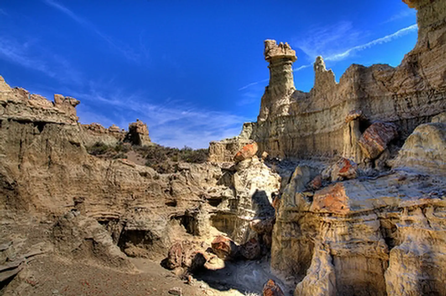 Adobetown WSAFacility · not watchable
At 85,710 acres in size, Adobetown WSA is the largest in Wyoming. Within the WSA, you'll find Skull Creek Rim and Monument Valley - names that conjure up…
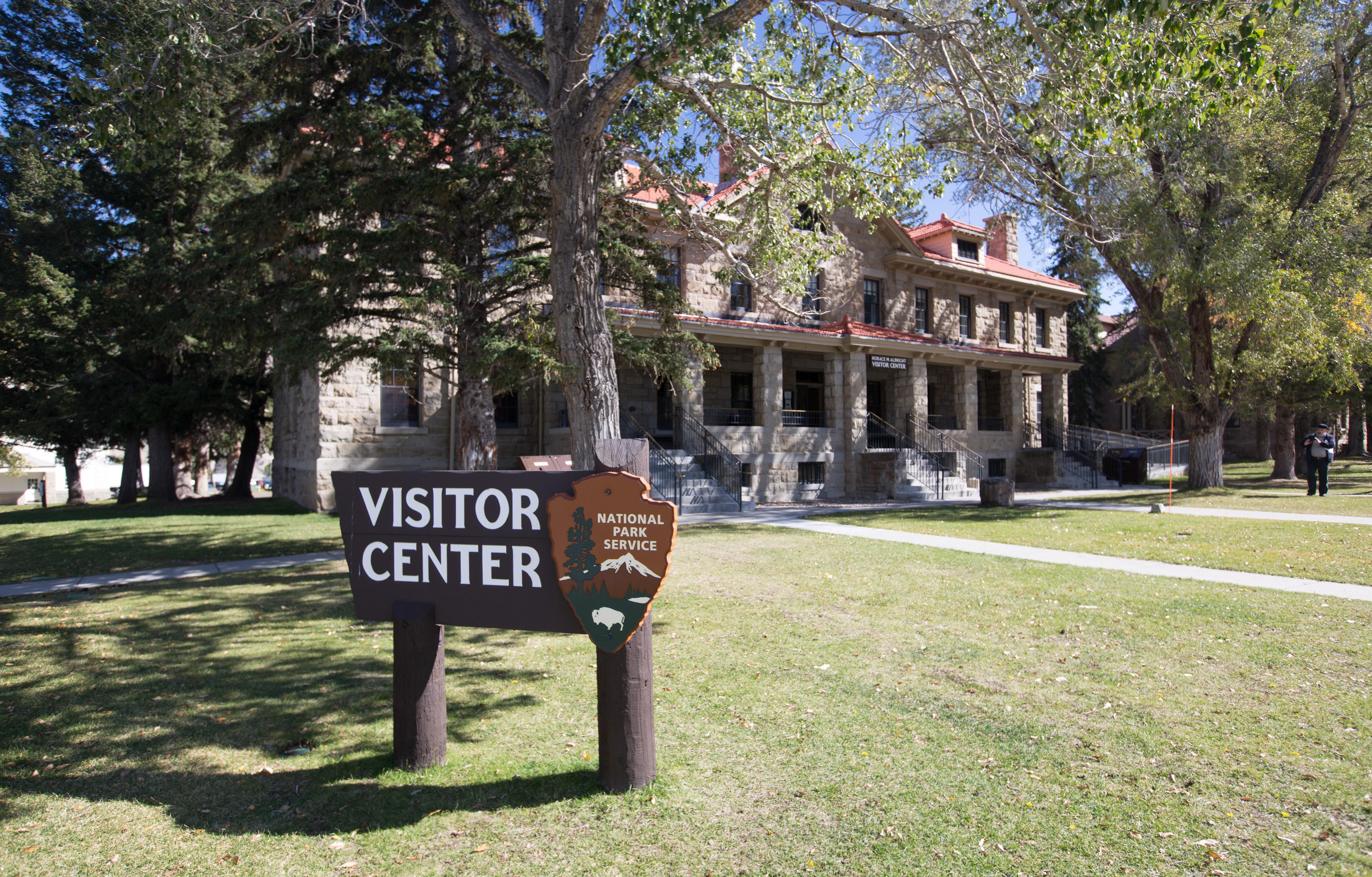 Albright Visitor CenterFacility · not watchable
Here you can gather park information, orient yourself to the rest of the park (including road conditions, and campground and lodge availability), shop for…
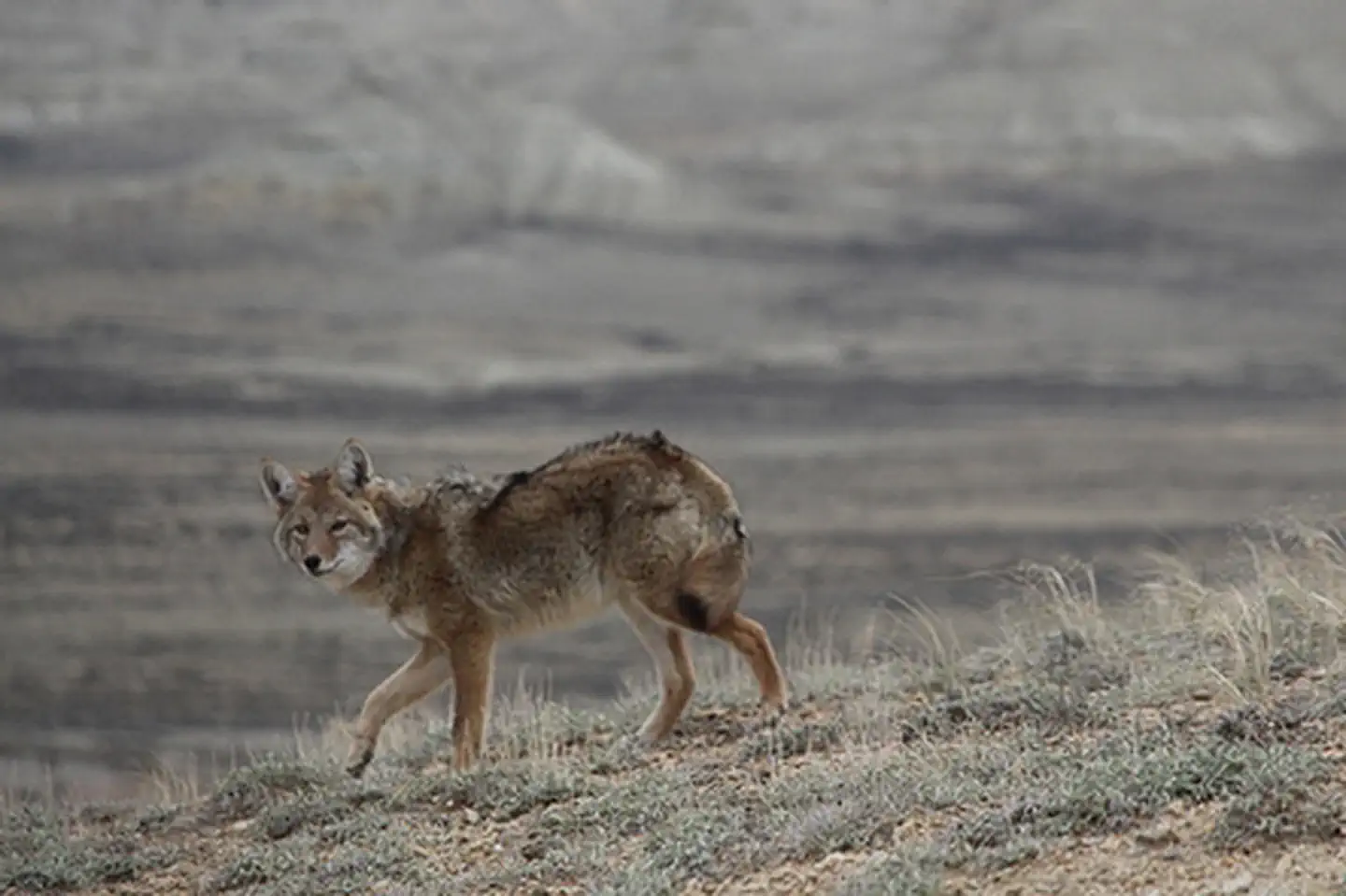 Alkali Draw WSAFacility · not watchable
The Alkali Draw WSA encompasses 16,990 acres of BLM-administered land and 640 acres of state land. The study area includes a portion of the Red Desert Area.
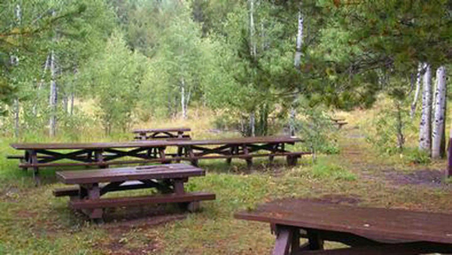 Allred Flats Group Picnic SiteCampground · 1 sites
Overview Allred Flats Group Picnic Site is located below Salt River Pass in the lush forests of western Wyoming.
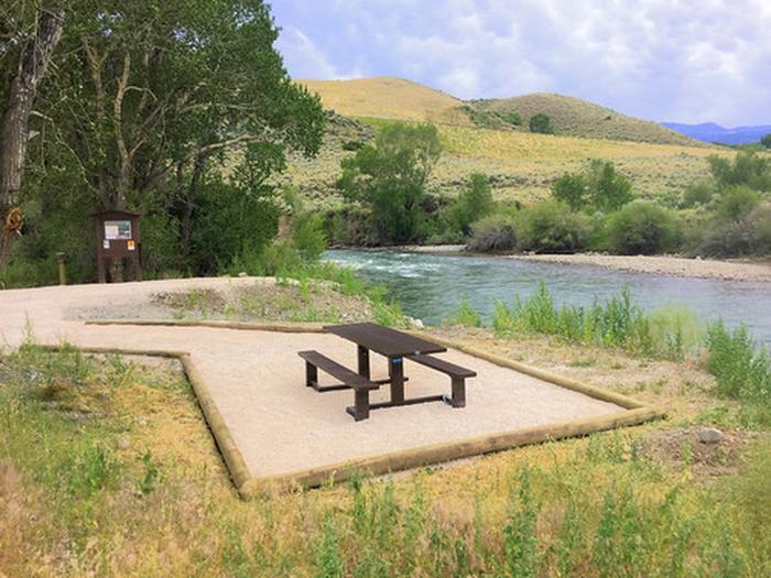 Andy MartinFacility · not watchable
Andy Martin is a BLM-administered parcel of land located along the South Fork of the Shoshone River.
- Aspen CampgroundCampground · not watchable
Aspen Campground is a 7-unit facility located near Gould, CO. It is approximately 22 miles southeast of Walden and is adjacent to the South Fork of the…
- Astoria Boating SiteFacility · not watchable
Astoria Boat Ramp is the first boat ramp south of Hoback Junction that is available for boat launching.
- Atherton Creek Boating SiteFacility · not watchable
The Atherton Creek Boating Site is the main boating access for Slide Lake, located within the Atherton Creek Campground.
- Atlantic City CampgroundCampground · not watchable
The Big Atlantic Gulch Campground is in the South Pass area. It features 10 campsites, fire rings, garbage collection, water (weather permitting), picnic…
- Atlantic City CampgroundCampground · not watchable
The Atlantic City Campground is in the South Pass area. It features 18 campsites, fire rings, garbage collection, water (weather permitting), picnic tables,…
- Backpacker Parking AreaFacility · not watchable
The Scab Creek Backpacker parking area is located within the Scab Creek Recreation Area.
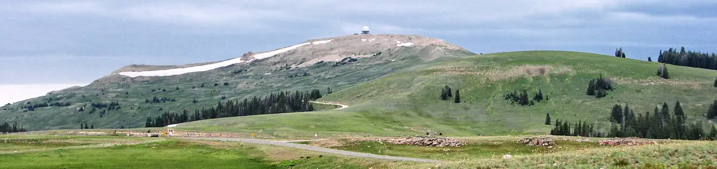 Bald Mountain CampgroundCampground · 15 sites
Overview Bald Mountain Campground is located along the Medicine Wheel Passage Scenic Byway (U.S. Highway 14A), 33 miles east of Lovell, Wyoming.
- Bald Mountain OverlookFacility · not watchable
Bald Mountain Overlook is located along the Medicine Wheel Passage Scenic Byway. Gold Fever The large rocks next to you are granite. These were formed within…
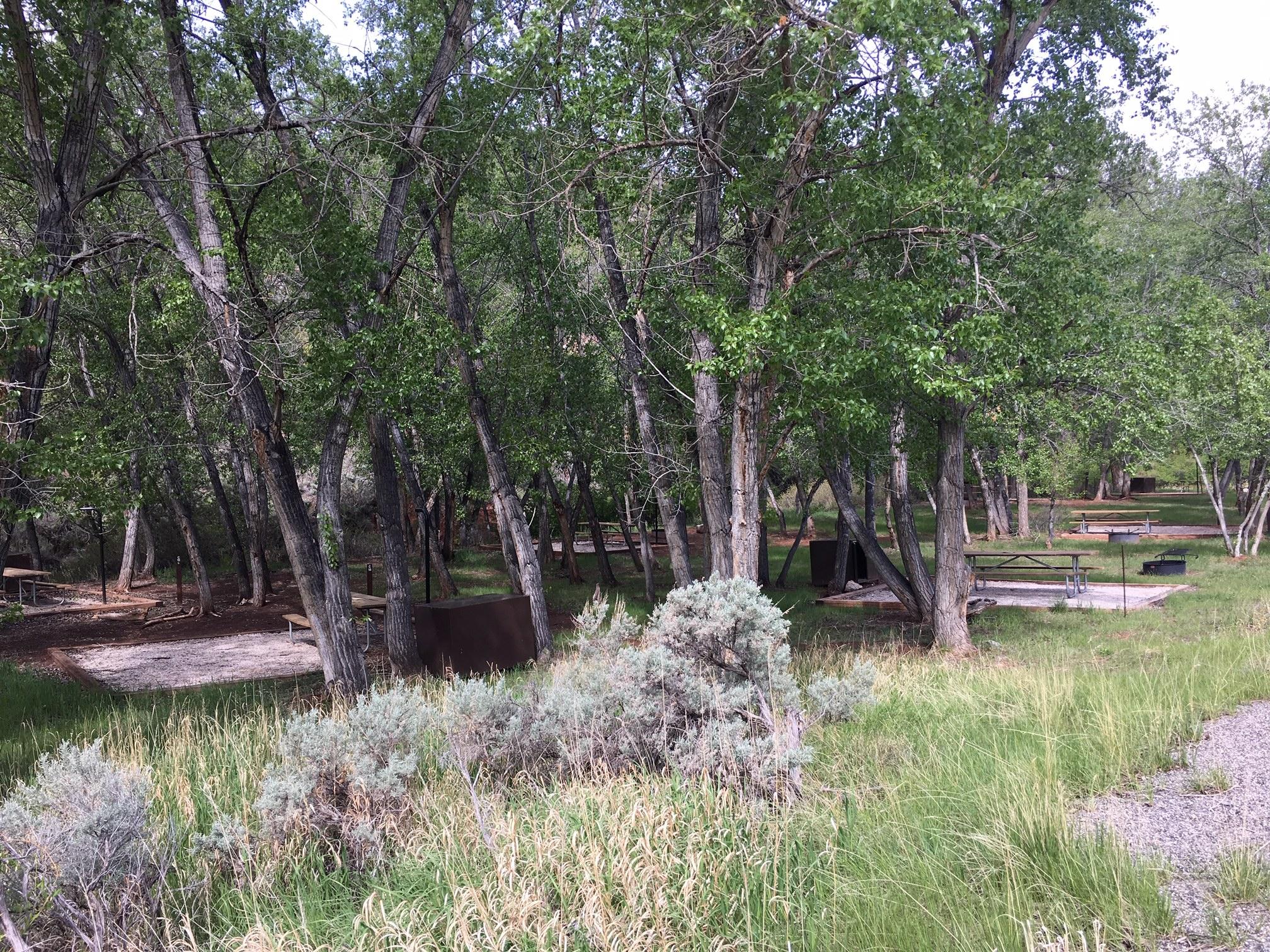 Barry's Landing & Trail Creek CampgroundCampground · not watchable
Barry's Landing & Trail Creek campgrounds are located on the south district near Barry's Landing, 27 miles north of Lovell, WY on HWY 37.
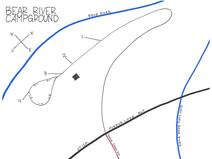 Bear River Campground (Uinta-Wasatch-Cache National Forest, UT)Campground · 4 sites
Overview Bear River Campground is located about 27 miles south of Evanston, Wyoming just off the Mirror Lake Scenic Byway at an elevation of 8,400 feet.
- Beaver Creek Ski System TrailheadFacility · not watchable
The Beaver Creek Ski Trail system consists of six trails with a total distance of 12.9 miles.
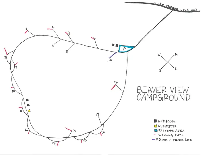 Beaver View CampgroundCampground · 18 sites
Overview Beaver View Campground is located about 34 miles south of Evanston, Wyoming just off the Mirror Lake Scenic Byway at an elevation of 8,960 feet.
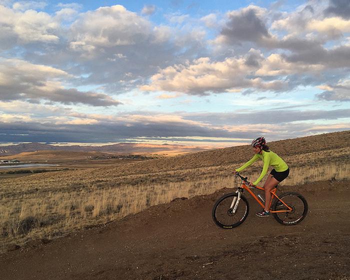 Beck Lake Bike TrailsFacility · not watchable
The Beck Lake Mountain Biking Area offers 8 miles of new mountain biking trails in Cody. Enjoy climbing and downhill including jumps and banked turns.
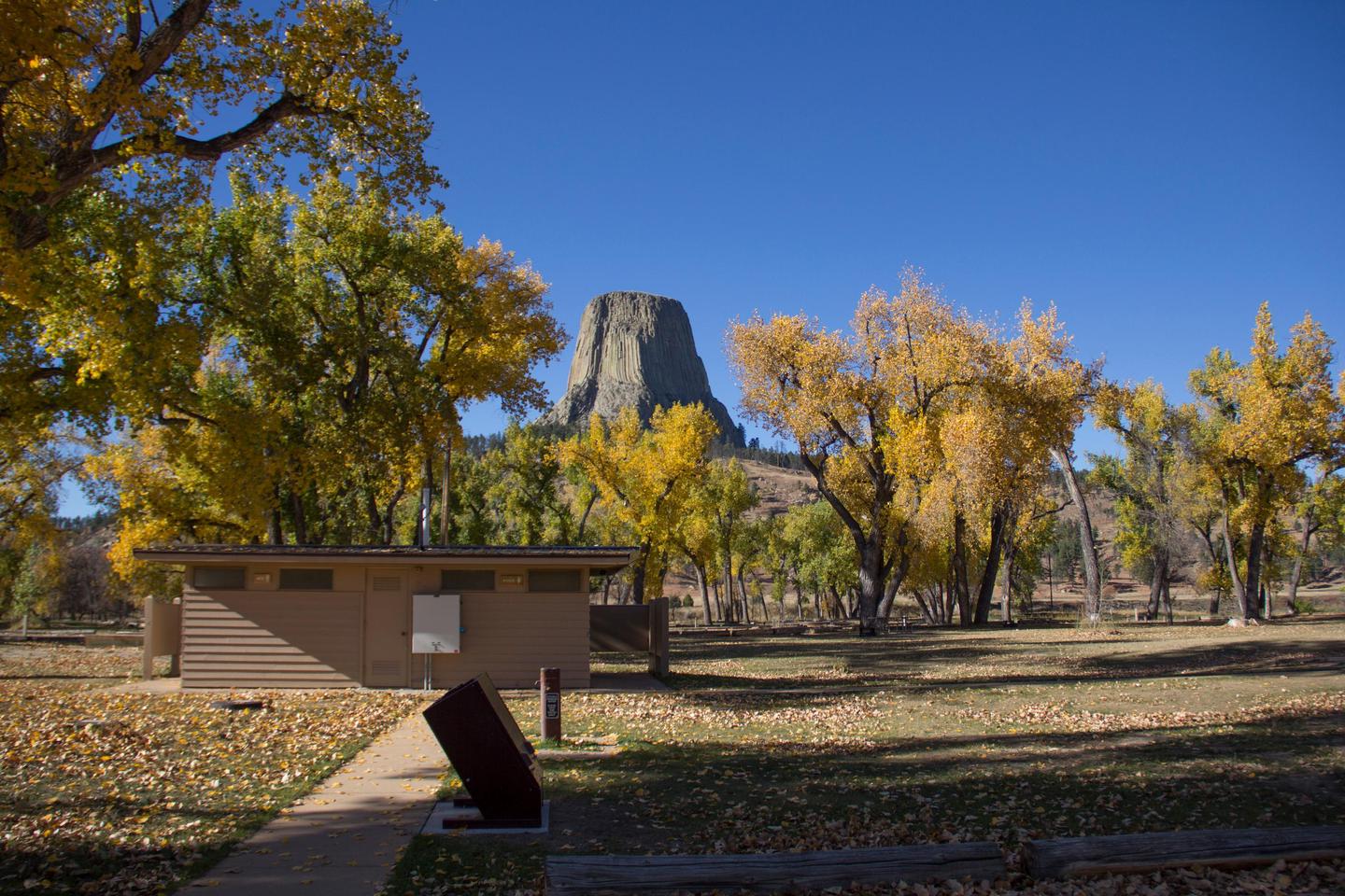 Belle Fourche River CampgroundCampground · not watchable
The first come, first served campground (no reservations) Belle Fourche River Campground is a 2-loop, 45-site campground (43 pull-through sites with room for…
- Bennett Creek CampgroundCampground · not watchable
The Bennett Peak Campground is in a scenic setting near the North Platte River, which makes it great for fishing and floating.
- Bennett Peak CampgroundCampground · not watchable
This is a fee site with 11 campsites, vault toilet, boat ramp, day use parking, and bank fishing accessible to persons with disabilities.
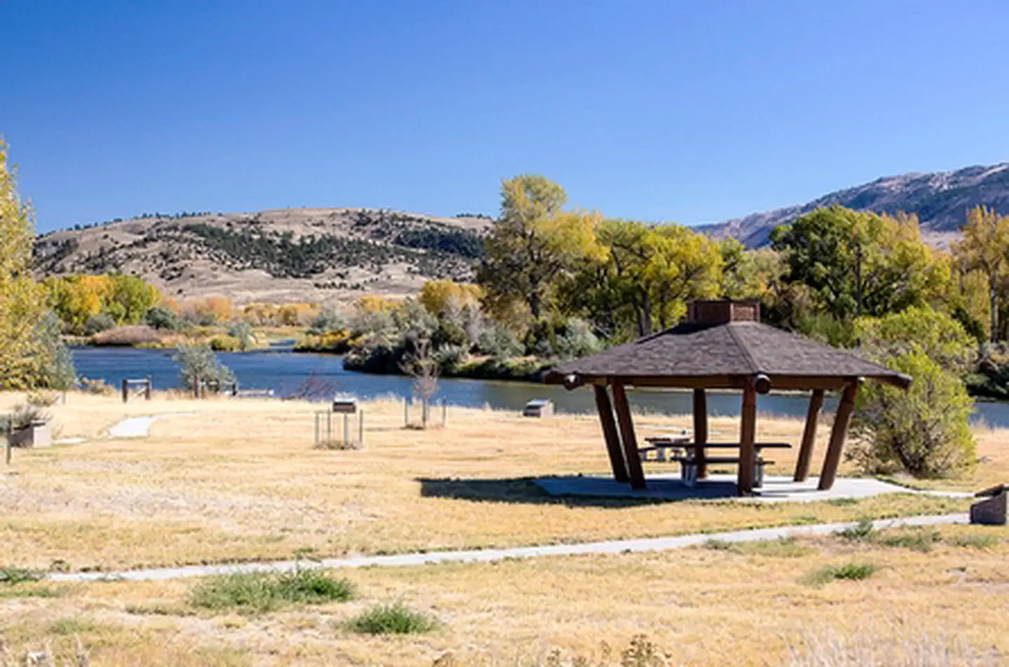 Bessemer BendFacility · not watchable
The distinctive Red Buttes stand above Bessemer Bend, the last fording site of the North Platte River on the Oregon Trail.
- Big Creek Lake Boat AccessFacility · not watchable
Primitive boat ramp to launch small motorized craft. There is a no wake restriction near shore. The area provides picnic tables, fishing access and general…
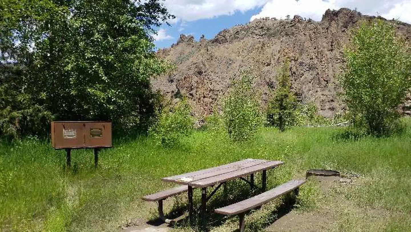 Big Game CampgroundCampground · 14 sites
Overview Big Game Campground is located along the Buffalo Bill Scenic Byway about 29 miles west of Cody, in northwestern Wyoming.
- Big Piney Ranger DistrictFacility · not watchable
The Big Piney Ranger District hosts a wide variety of cultural and natural history, recreational opportunities, timber, range, mineral reserves, and wildlife.
- Big Spring Scenic BackwayFacility · not watchable
This 68-mile Scenic Backway hosts beautiful mountain views, wide river valleys and a multitude of wildlife viewing opportunities.
- Black Fox CampgroundCampground · not watchable
The Black Fox Campground has nine camp sites. Restroom facilities are available. The campground is in a remote location within a spruce forest on South Fork…
- Blackrock Ranger DistrictFacility · not watchable
The Blackrock Ranger District is comprised mostly of the Teton Wilderness. It borders Grand Teton and Yellowstone National Parks.
- Blackrock Ranger StationFacility · not watchable
The Blackrock Ranger Station is located 8 miles East of Moran Junction on Highway 26/287. The office is open Monday thru Friday from 8 a.m. until 4:30 p.m.
- Blacktail TrailheadFacility · not watchable
Blacktail Motorized Trailhead is the primary gateway to dozens of miles of OHV trails west of Cook Lake.
 Blucher Creek CampgroundCampground · not watchable
The Blucher Creek Campground is 74 miles from Rock Springs and 70 miles from Lander.
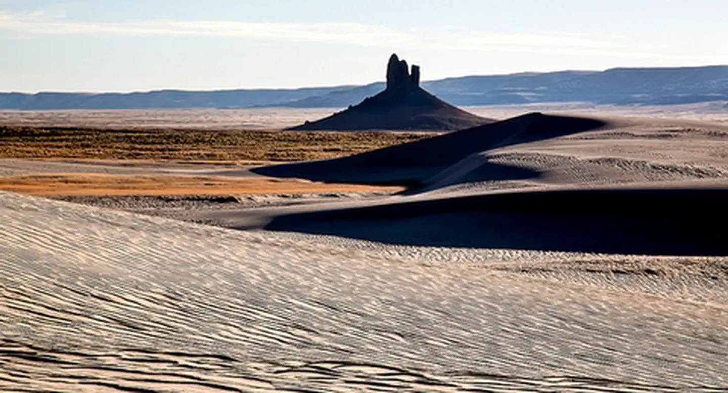 Boar's TuskFacility · not watchable
The Boar's Tusk stands at 7100 feet elevation, 400 feet above the surrounding Killpecker Creek plain.
- Bobcat-Houlihan CampgroundCampground · not watchable
The Bobcat-Houlihan Campground is at the trailhead of the Bobcat-Houlihan Trail. It features interpretive kiosks, horse trailer parking, horse hitching rails,…
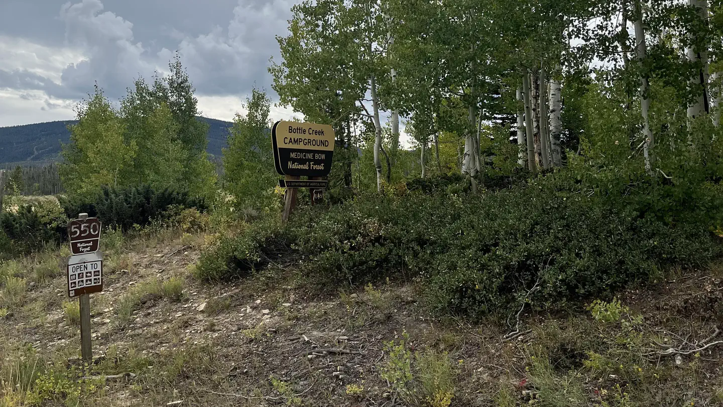 Bottle Creek Campground (WY)Campground · 12 sites
Overview The facility lies at an elevation of 8,800 feet within the Bottle Creek Campground in the Medicine Bow National Forest.
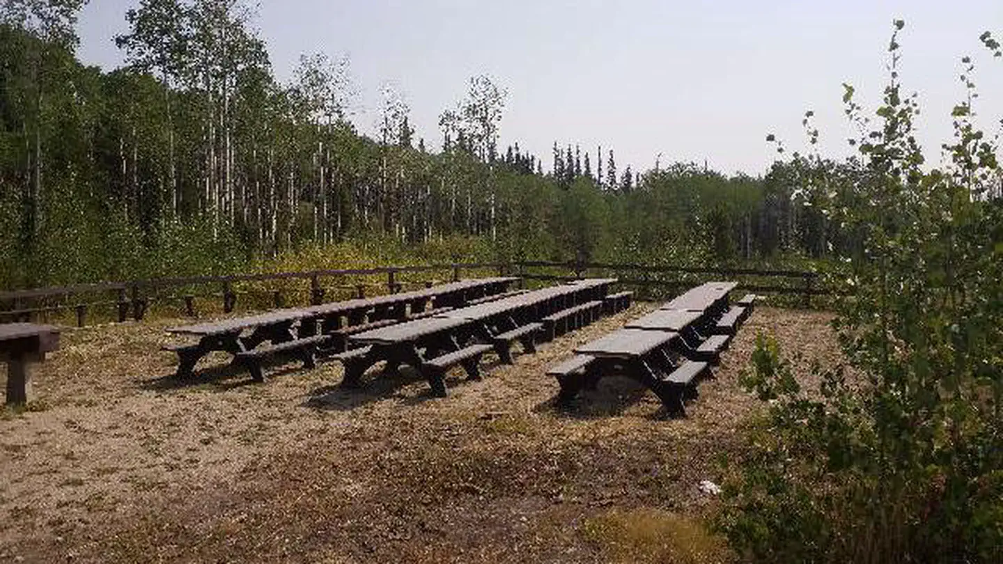 Bottle Creek Group Picnic SiteCampground · 1 sites
Overview Bottle Creek Group Picnic Site offers a large area for groups of up to 75 people to gather and enjoy the outdoors allow for up to 10 cars any more are…
- Boulder Lake Boat RampFacility · not watchable
The Boulder Lake Boat Ramp is c co-managed boat ramp on Boulder Lake managed by the BLM and the Wyoming Game and Fish Department.
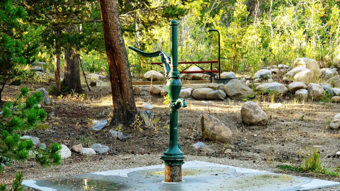 Boulder Park CampgroundCampground · 31 sites
Overview Boulder Park Campground is located about 50 miles east of Worland, Wyoming on the west side of scenic Cloud Peak Skyway, near the Cloud Peak…
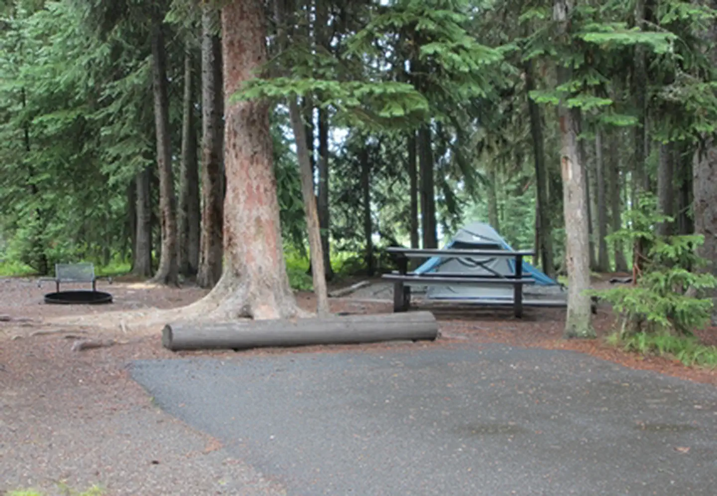 Bridge Bay CampgroundFacility · not watchable
Bridge Bay Campground—elevation 7,800 feet (2377 m)—is located near Yellowstone Lake, one of the largest, high-elevation, fresh-water lakes in North America.
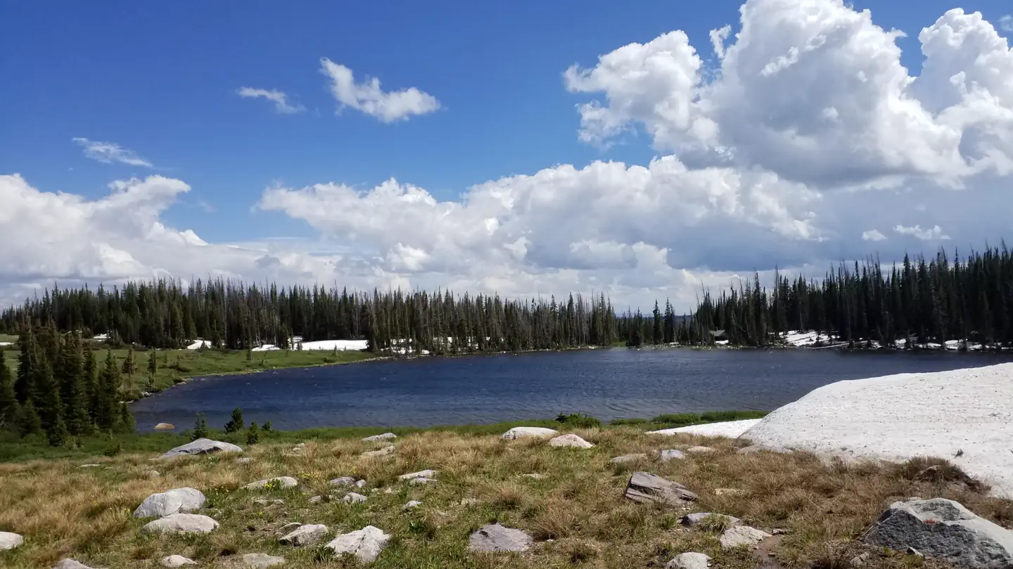 Brooklyn Lake CampgroundCampground · 18 sites
Overview Adventurers love sleeping under the towering trees and night sky of the secluded Brooklyn Lake Campground in the mountains of southeastern Wyoming.
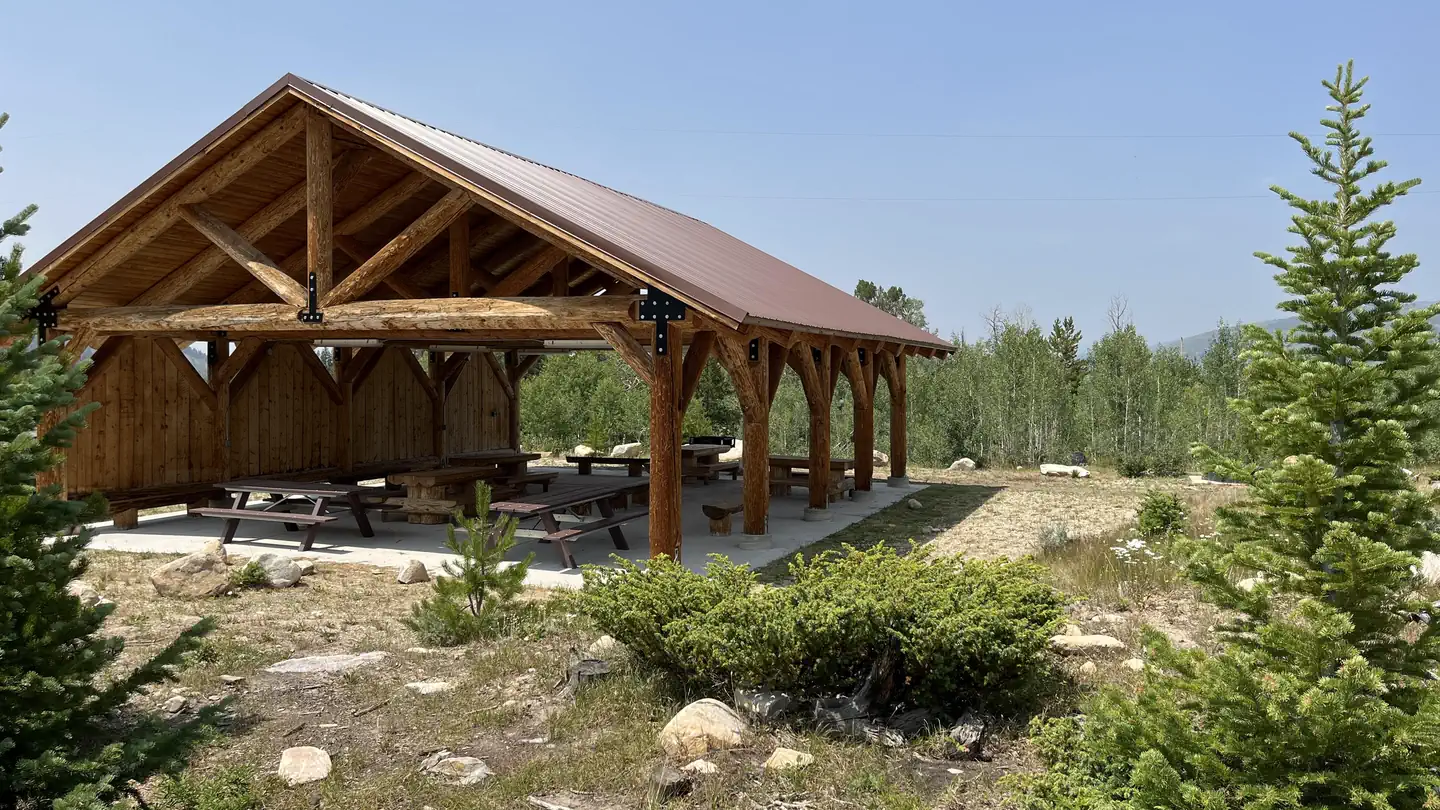 Brush Creek PavilionCampground · 1 sites
Facilities Located within walking distance to the Brush Creek Visitor's Center and the Brush Creek Hiking/Ski Trails, the Brush Creek Pavilion is an…
- Brush Creek Visitor CenterFacility · not watchable
Open on weekends, the Brush Creek Visitor Center is on the Snowy Range Scenic Byway, Hwy 130, near the west Forest boundary. Trailhead parking, a picnic…
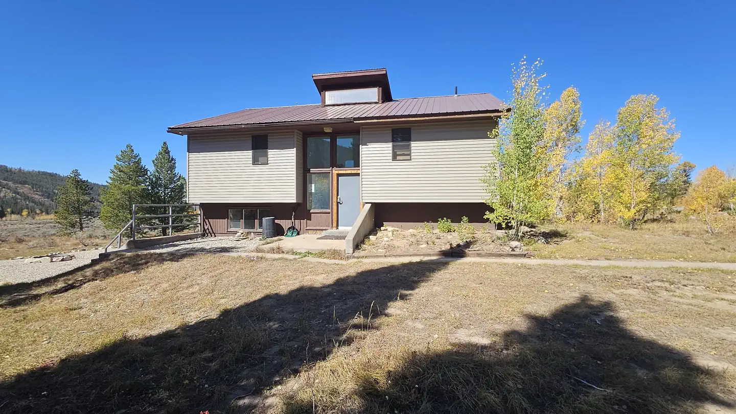 Brush Creek Work Center BarrackCampground · 1 sites
Overview The cabin offers an ideal winter playground, with a snowy landscape perfect for recreation.
- Brush Creek/Hayden Ranger DistrictFacility · not watchable
The Brush Creek/Hayden Ranger District office outside Saratoga, Wyoming oversees the Sierra Madre Range and west side of the Snowy Range.
 Buckboard CrossingCampground · 58 sites
Overview Buckboard Crossing Campground is located on the far northwest shore of Flaming Gorge Reservoir at an elevation of 6,100 feet.
- Buckhorn Snowmobile TrailheadFacility · not watchable
Buckhorn Snowmobile Trailhead provides direct access to snowmobile Trail 3. This is the closest trailhead for riders coming from Newcastle, Wyoming.
- Buckskin CrossingFacility · not watchable
This interpretive pull-out overlooking the Sweetwater River and Buckskin crossing tells the story of the crossing and its previous owner "Buckskin Joe" The…
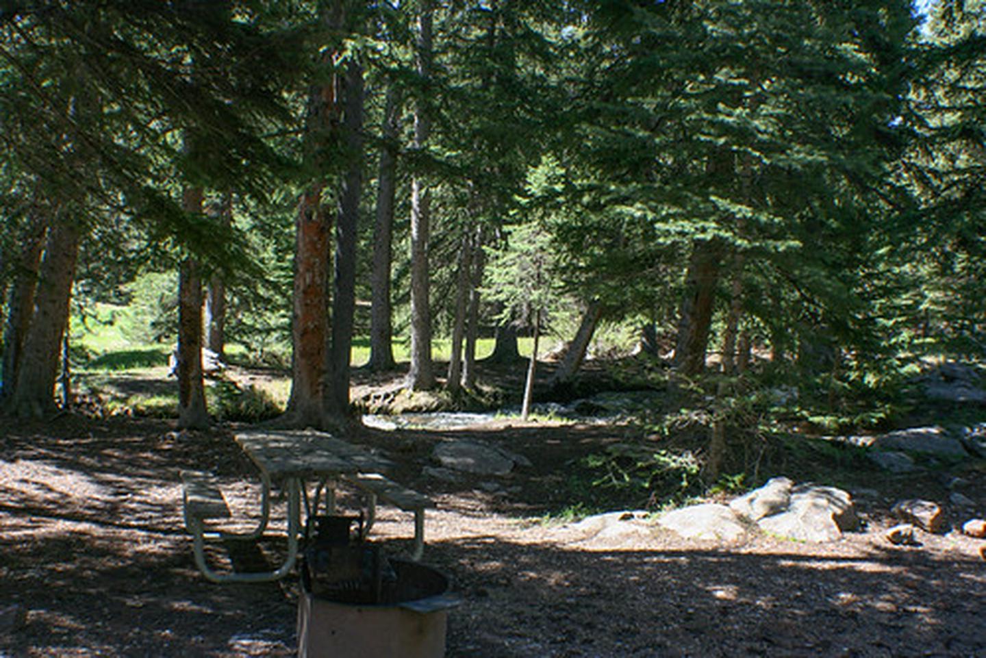 Buffalo Creek CampgroundCampground · not watchable
The Buffalo Creek Campground is located off of the scenic South Bighorn/Red Wall Back Country Byway. It has four camping sites, a vault toilet and fire rings.
- Buffalo Hump WSAFacility · not watchable
The Buffalo Hump Wilderness Study Area (WSA) encompasses 10,300 acres of BLM-administered land with no private or state inholdings.
- CDNST - Deep Jack TrailheadFacility · not watchable
The Deep Jack Trailhead provides access to the Continental Divide National Scenic Trail after June 15 each year.
- Cabin Creek TrailheadFacility · not watchable
This trailhead is located in the Snake River Canyon, off of Highway 89 south of Hoback Junction.
- Cache Creek and Greater Snow King AreaFacility · not watchable
Cache and Game Creek Trails Map 2016 The Cache Creek and Greater Snow King area encompasses miles and miles of trails for visitors to access minutes from…
- Camp 5 TrailheadFacility · not watchable
The Camp 5 Motorized Trailhead is the most popular gateway to over 10 miles of rock-crawling, 4x4, and OHV routes in the Deadwood area.
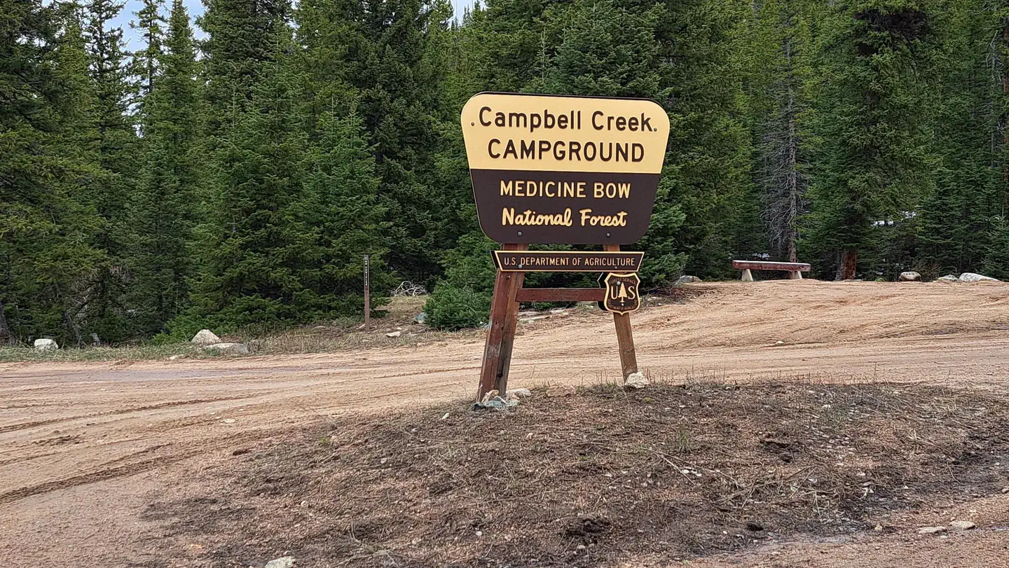 Campbell Creek CampgroundCampground · 6 sites
Overview Campbell Creek Campground sits at an elevation of 7,920 feet in a remote area at the western end of the Laramie Mountains on the Douglas Ranger…
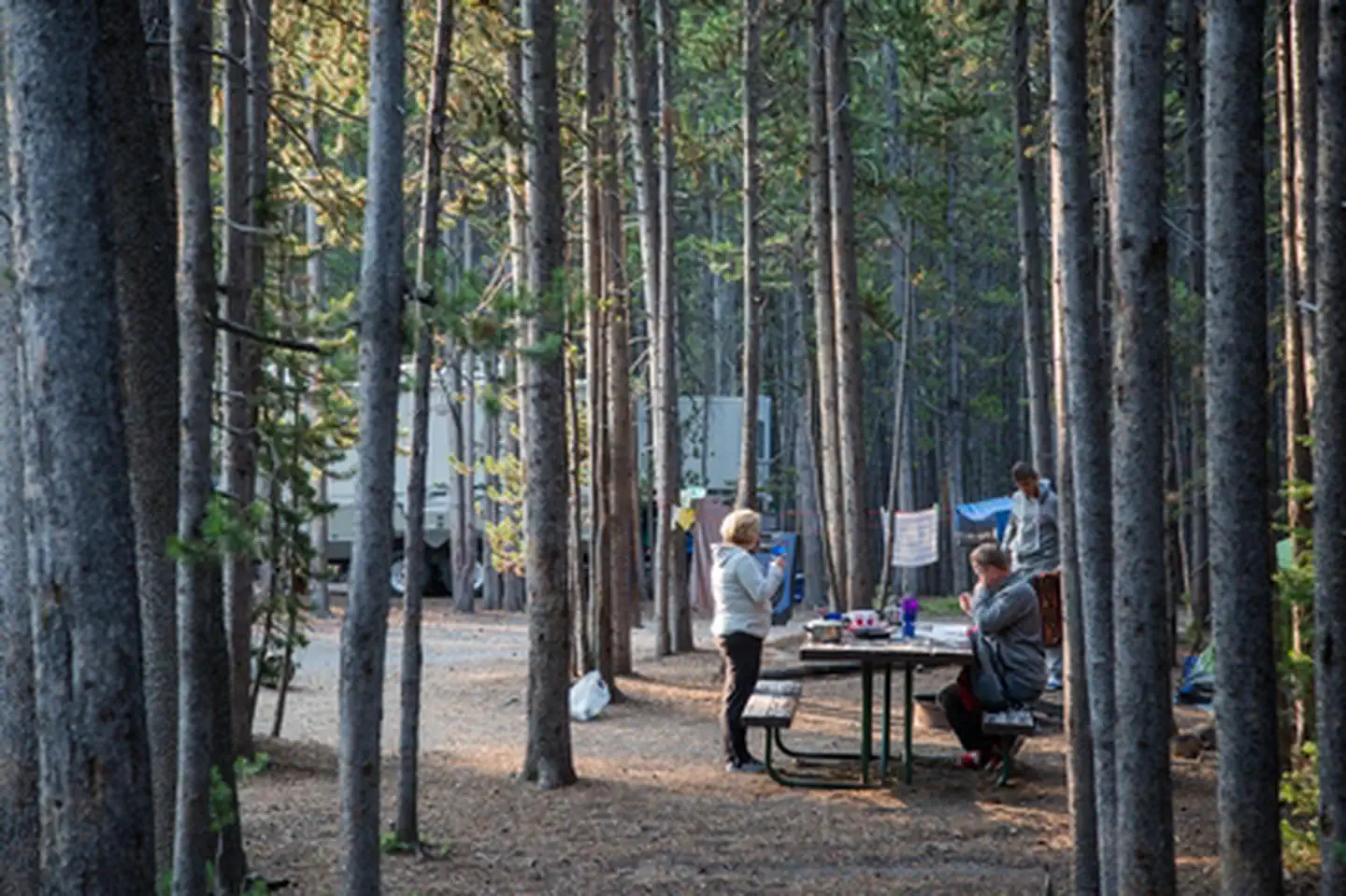 Canyon CampgroundFacility · not watchable
Canyon Campground—elevation 7,900 feet (2408 m)—lies in a lodgepole pine forest at Canyon Village, south of the Washburn range and near the breath-taking Grand…
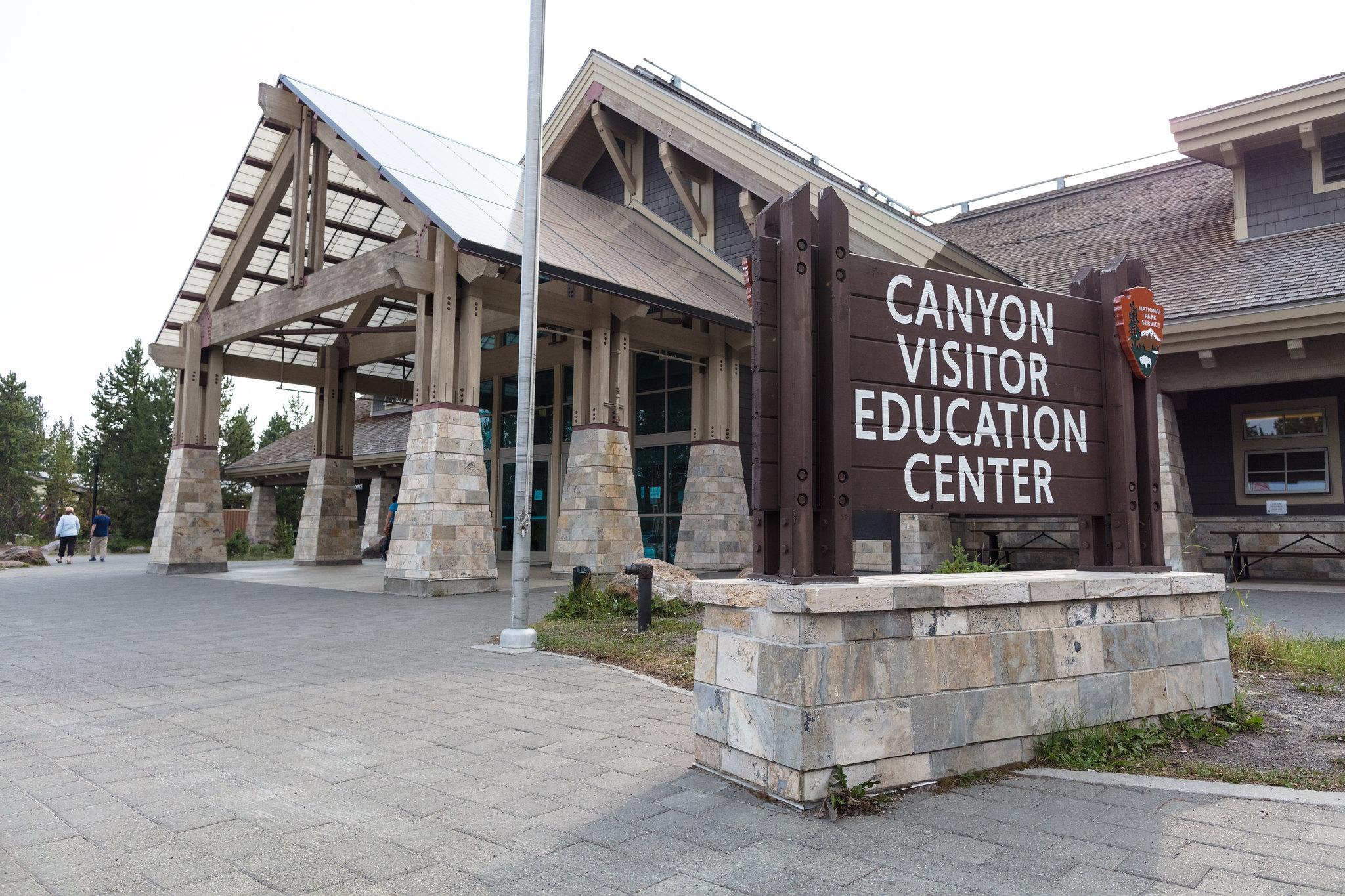 Canyon Visitor Education CenterFacility · not watchable
Stop by the Canyon Visitor Education Center to learn more about the geologic story of the area, including the Yellowstone volcano, and view a room-size relief…
- Carson Draw Trail System Trailhead (Trail #87)Facility · not watchable
The Carson Draw Trail System is a four-season, non-motorized system of trails that wind through Carson Draw.
- Castle RockFacility · not watchable
Castle Rock fishing access is located in the beautiful South Fork Shoshone River valley. The site serves as an access point to the South Fork.
 Cazier CabinCampground · 1 sites
Overview Cazier Cabin is a historic Forest Service guard station built by the Civilian Conservation Corps in 1933.
 Cedar Canyon Petroglyphs Interpretive SiteFacility · not watchable
The Cedar Canyon Petroglyphs are dated back more than 200 years, with some of the petroglyphs unique to this location, including several panels that include…
- Cement Ridge Fire LookoutFacility · not watchable
The original Cement Ridge Fire Lookout was built between 1911 and 1913. At that time it was a one-room log cabin with a shingle roof. In 1921, a crow’s nest…
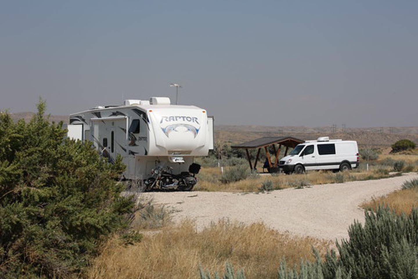 Chalk Bluffs CampgroundCampground · not watchable
Chalk Bluffs has an access road and parking area, vault toilet, eleven overnight camping sites with tent pads, picnic tables, fire rings, RV parking, boat ramp…
 China Meadows CampgroundCampground · 9 sites
Overview China Meadows Campground is located on the northern slope of the Uinta Mountains at an elevation of 10,000 feet.
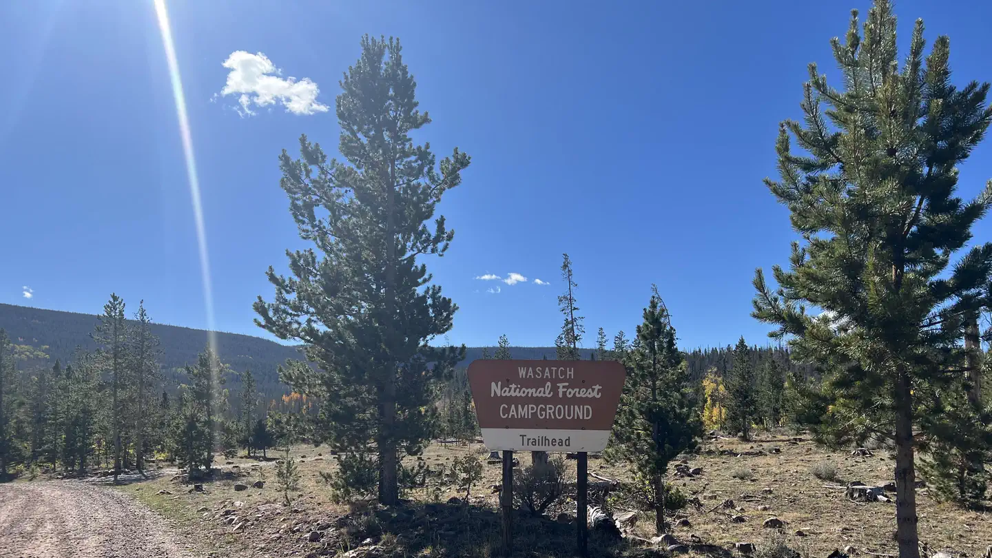 China Meadows Trailhead CampgroundCampground · 15 sites
Overview China Meadows Trailhead Campground is located on the northern slope of the Uinta Mountains at an elevation of 10,000 feet.
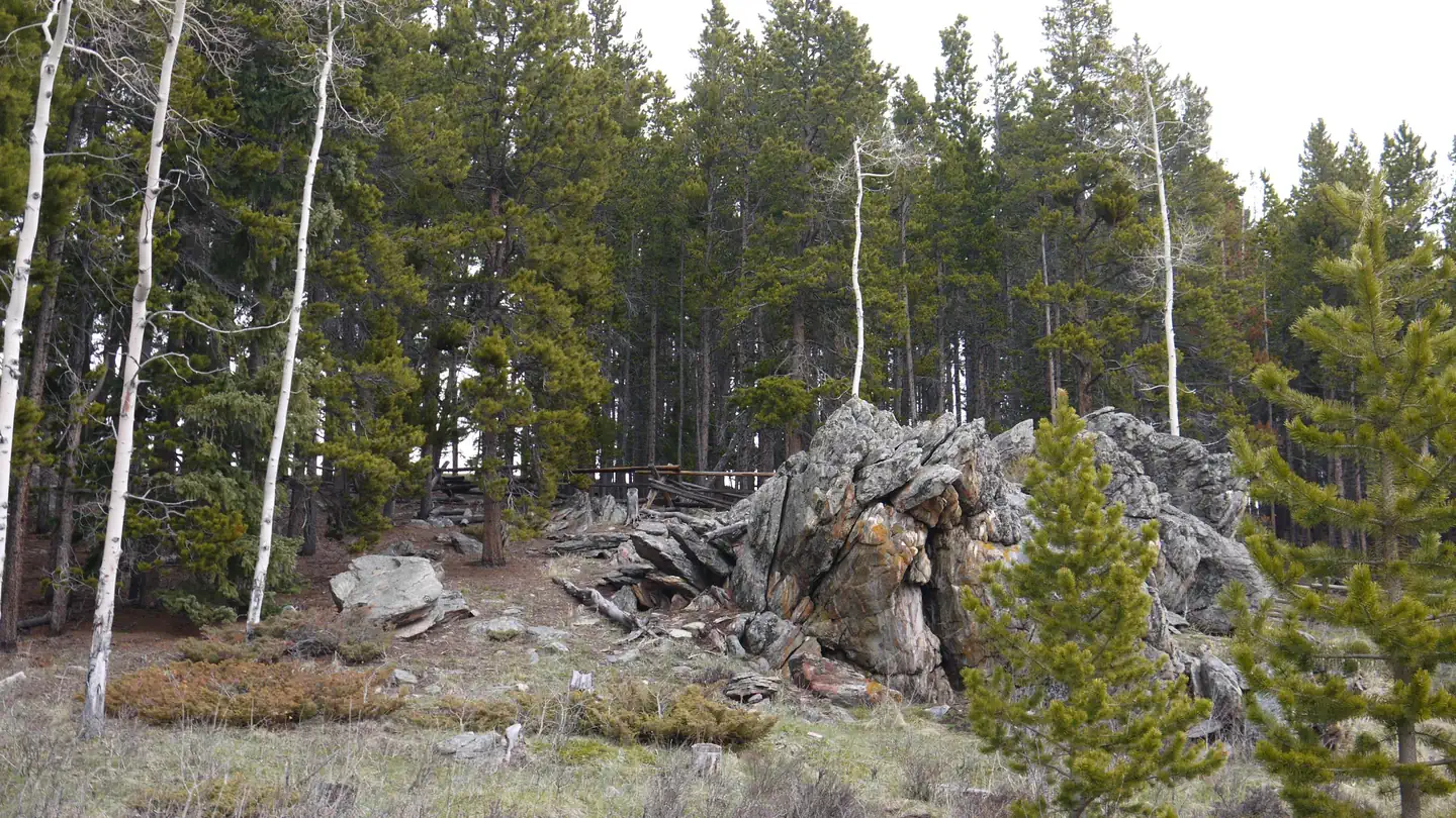 Circle Park CampgroundCampground · 10 sites
Overview Circle Park Campground is located about 15 miles west of Buffalo, Wyoming, on the east side of scenic Cloud Peak Skyway, near the Cloud Peak…
- Clarks Fork Boat LaunchFacility · not watchable
The boat launch is a primitive boat ramp available to launch boats. The access route to the ramp is very rugged, so use high-clearance vehicles to access the…
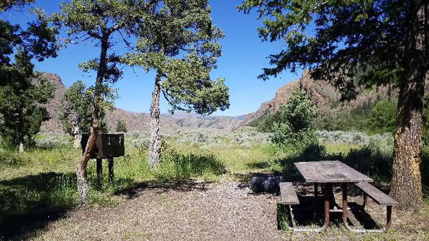 Clearwater CampgroundCampground · 12 sites
Overview Clearwater Campground is located along the Buffalo Bill Scenic Byway, about 32 miles west of Cody, in northwestern Wyoming.
- Cliff Swallow Trailhead (Trail #91)Facility · not watchable
The Cliff Swallow Trail is a 3.7 mile loop trail. Cliff swallows nest in the limestone bluffs above Beaver Creek.
- Cody CanalFacility · not watchable
Cody Canal is located within the beautiful South Fork Shoshone River valley. It is a BLM parcel located along the South Fork which provides for a wonderful are…
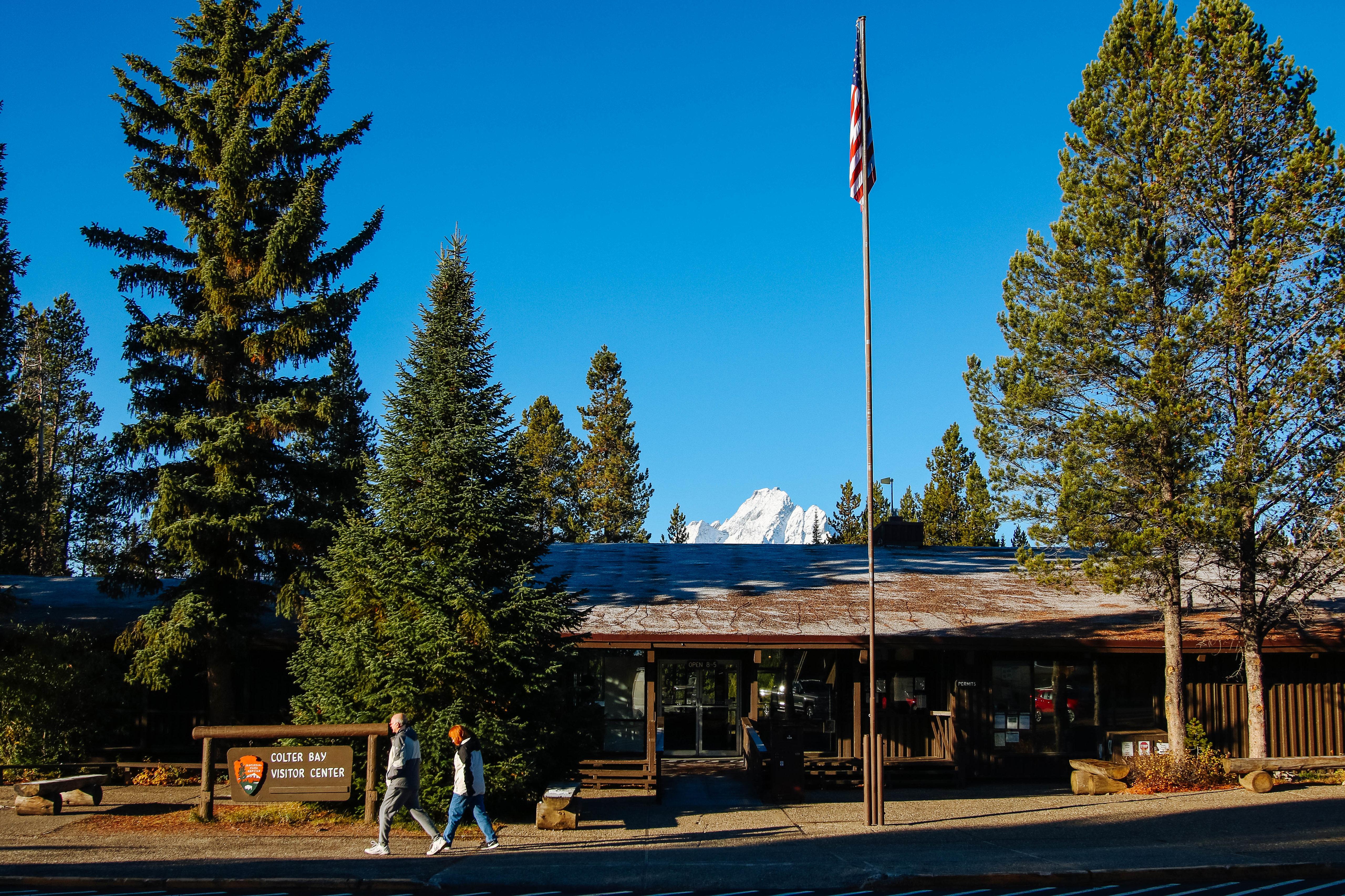 Colter Bay Visitor CenterFacility · not watchable
A surviving Mission 66 visitor center, the Colter Bay Visitor Center provides great views of Jackson Lake.
- Coney Creek TrailheadFacility · not watchable
Coney Creek Trailhead provides access to Coney Creek Trail - #021 which enters Cloud Peak Wilderness and travels to Coney Lake.
- Continental Divide Mountain Biking TrailFacility · not watchable
The trail is 50 riding miles in the Rock Springs Field Office. This ride parallels the Wind River Mountain Range, the Continental Divide Mountain Bike Trail…
- Cook Lake Trailhead (Trail #88)Facility · not watchable
The Cook Lake Trailhead provides access to Trail 88. Cook Lake Trail is a 1.0 mile trail with some stairs and a stepping-stone crossing of Beaver Creek, the…
- Corral Creek CampgroundCampground · not watchable
The Corral Creek Campground is in a scenic setting near the North Platte River, which makes it great for fishing and floating. The campground has 6 campsites,…
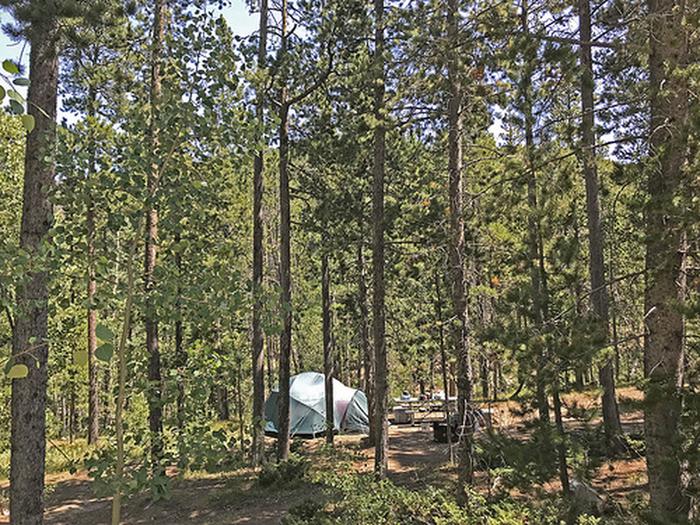 Cottonwood CampgroundCampground · not watchable
The Cottonwood Campground is a developed camping site a semi-alpine setting. The site features 18 campsites, fire rings, water, picnic tables, Accessible vault…
- Cottonwood Creek CampgroundCampground · not watchable
The Cottonwood Creek Campground and Day-Use site are located near the Cottonwood Creek Trailhead.
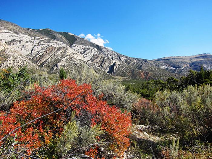 Cottonwood Creek TrailheadFacility · not watchable
Located near the Cottonwood Canyon Campground and Day-Use site, this highly scenic trail is suitable for hiking and horseback riding (advanced riders).
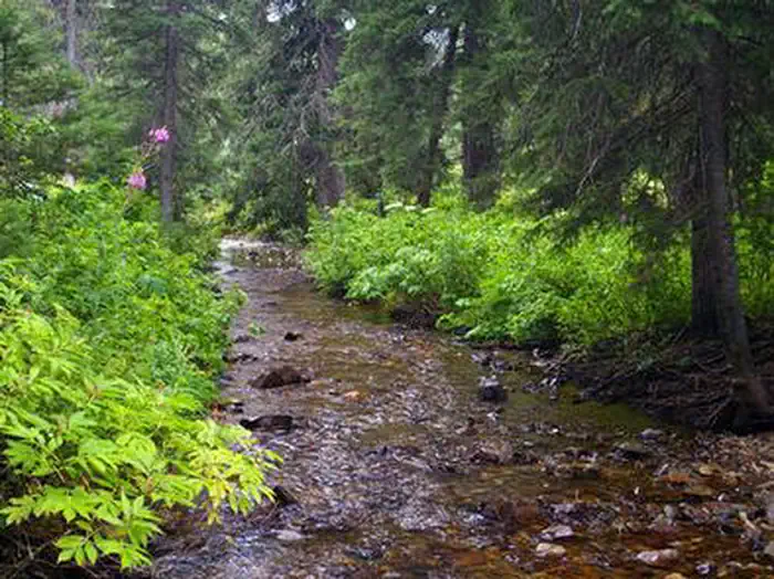 Cottonwood Group CampsiteCampground · 1 sites
Overview Cottonwood Group Campsite is located near the scenic Cottonwood Lake below Salt River Pass in the forest of western Wyoming.
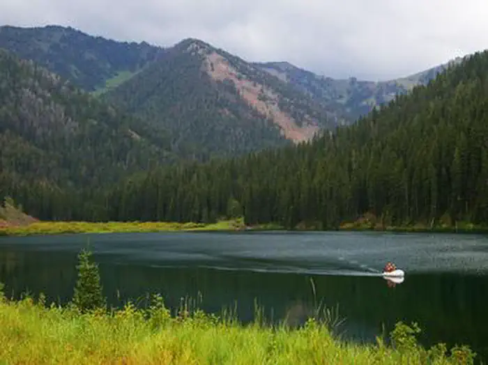 Cottonwood Group Picnic SiteCampground · 1 sites
Overview Cottonwood Group Picnic Site is located next to scenic Cottonwood Lake on the Salt River Mountains, surrounded by the forests of western Wyoming.
- Cottonwood/Fish Creek AreasFacility · not watchable
This area offers approximately 5 miles of trails open to Off-Highway Vehicles (OHV) less than 50 inch width.
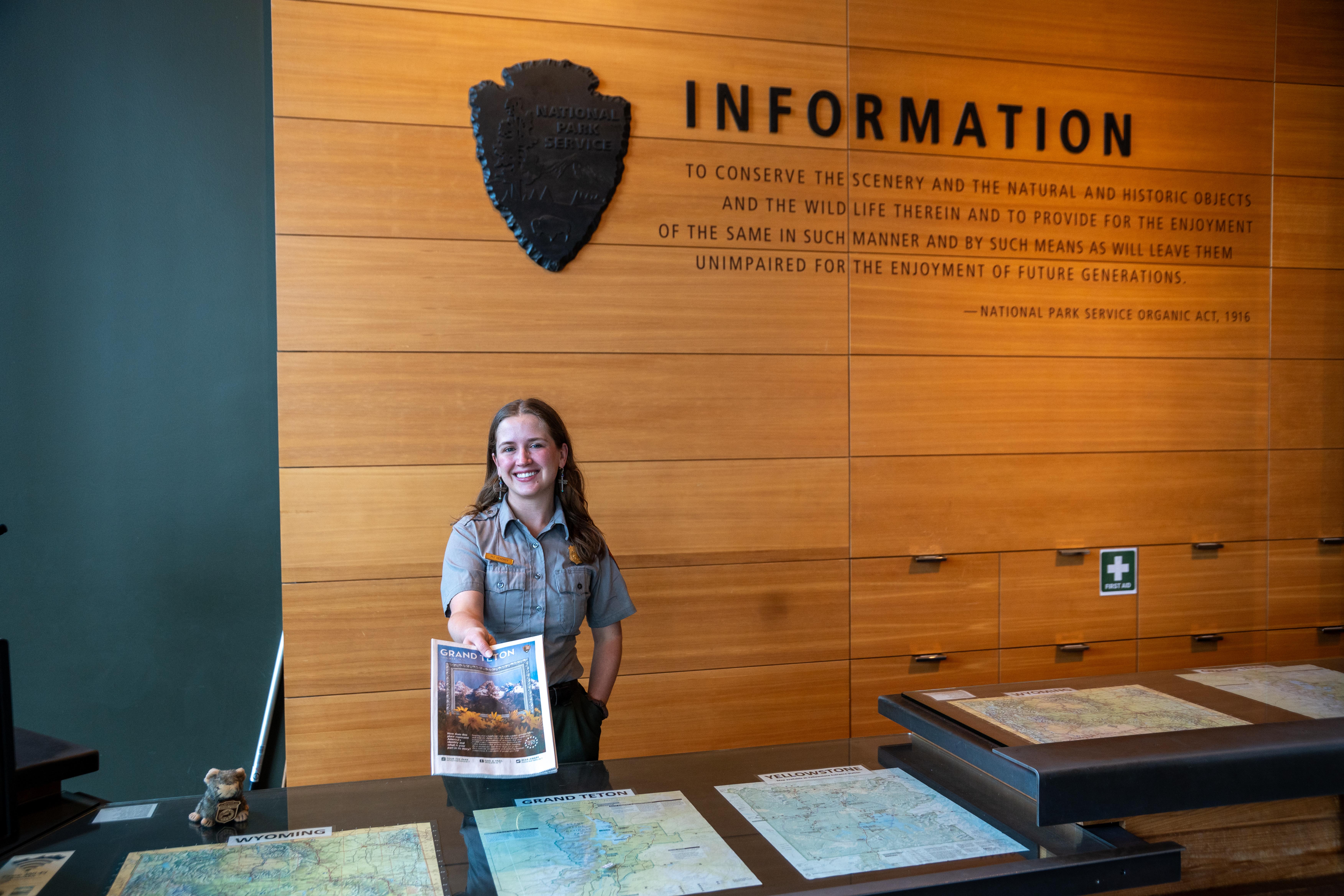 Craig Thomas Discovery & Visitor CenterFacility · not watchable
The grand expanse of the Teton Range rises above the visitor center. Inside, interwoven themes of place, people, preservation, mountaineering, and Indigenous…
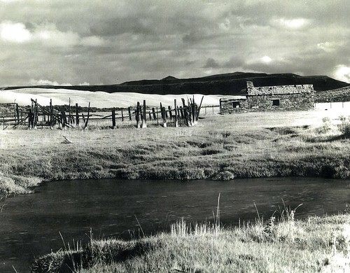 Crookston Ranch Cultural SiteFacility · not watchable
Crookston Ranch is an 1880s homestead, located on the banks of Nitchie Creek. The ranch was homesteaded by Joseph Crookston, who came to Sweetwater County from…
- Crow Peak Trailhead (Trail #64)Facility · not watchable
A 3.2 mile trail to Crow Peak Summit, with a 0.5 mile spur trail to Beaver Ridge. Crow Peak is a dominant landmark because of its geological makeup.
- Current Creek Mountain Bike TrFacility · not watchable
The Current Creek Mountain Bike trail system is a collection of long distance mountain bike trails totaling 32 riding miles along existing two-track routes.
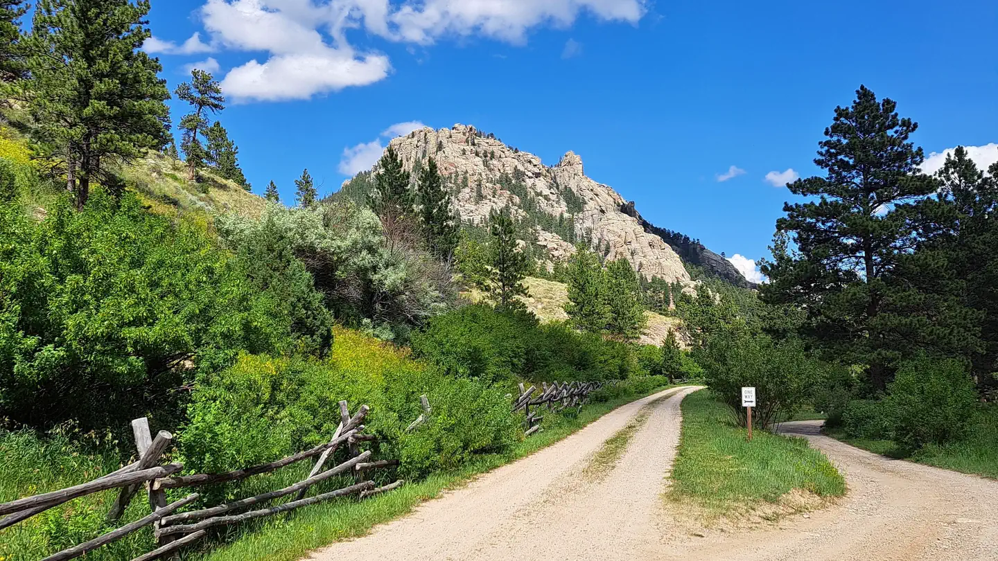 Curtis Gulch CampgroundCampground · 6 sites
Overview Curtis Gulch Campground sits at an elevation of 6,640 feet, at the end of the long and scenic LaBonte Canyon.
- Custer Peak Fire LookoutFacility · not watchable
Custer Peak Fire Lookout was built in 1911. In 1935 it was replaced with a cupola building, and by 1941 the Civilian Conservation Corps constructed the fire…
- Custer Peak Snowmobile TrailheadFacility · not watchable
The Custer Peak Snowmobile Trailhead is approximately 11 miles south of Deadwood off of US Highway 385.
- Custer Trail TrailheadFacility · not watchable
From Hill City go west on Deerfield Road approximately 23 miles to northwest side of lake, turn right or south on Forest Road 417, travel to end of road.
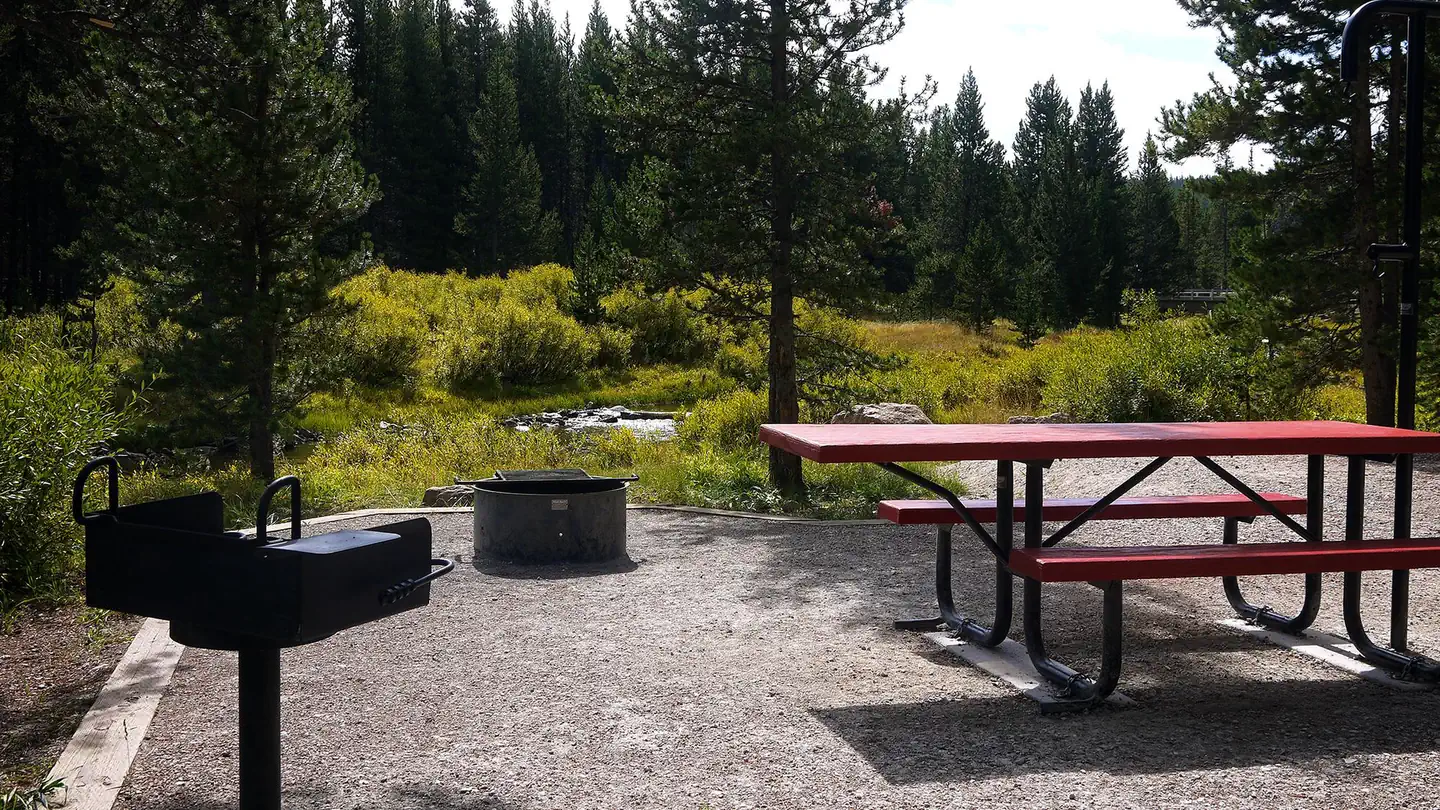 Dead SwedeCampground · 20 sites
Overview Dead Swede Campground is located just off the Bighorn Scenic Byway (U.S. Highway 14) near the Burgess Overlook and Woodrock areas at an elevation of…
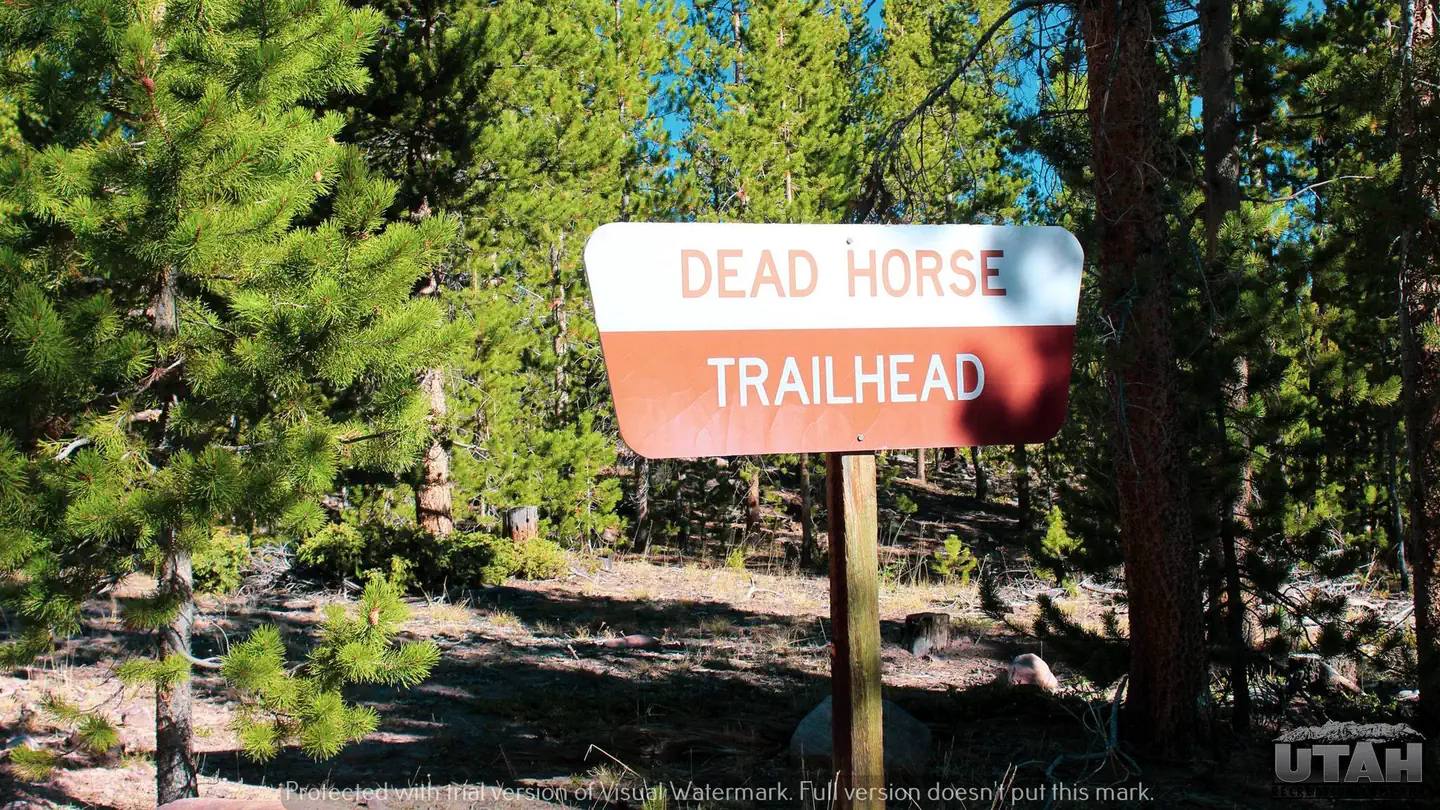 Deadhorse Trailhead CampgroundCampground · 4 sites
Overview Deadhorse Trailhead Campground is a small campground located on the northern slope of the Uinta Mountains at an elevation of 8,490 feet.
 Deer Creek Cabin (Wy)Campground · 1 sites
Overview Deer Creek Cabin is a historic Forest Service guard station located 13 miles from Alpine, Wyoming.
- Deer Creek TrailheadFacility · not watchable
From Rapid City, travel west on Highway 44 for about 15 miles. Turn north (right) onto Highway 385 and travel for 1.4 miles, then turn west (left) onto Silver…
- Deer Creek TrailheadFacility · not watchable
From Rapid City, travel west on Highway 44 for about 15 miles. Turn north (right) onto Highway 385 and travel for 1.4 miles, then turn west (left) onto Silver…
- Deerfield Lake Loop Trailheads (Trail #40L)Facility · not watchable
This 10 mile trail encircles Deerfield Lake. From Reynolds Prairie you'll have great views of the lake.
- Deerfield Trailheads (Trail #40)Facility · not watchable
The Deerfield Trail is a 23 mile trail connecting the Deerfield Reservoir to the Centennial Trail.
- Devil's Gate Interpretive SiteFacility · not watchable
This remarkable cleft in the east end of the Sweetwater Rocks drew diary comments from many pioneers.
- Devils Playground WSAFacility · not watchable
The Devils Playground Wilderness Study Area (WSA) includes interesting and unusual geologic features, fossil deposits and evidence of early human occupation.
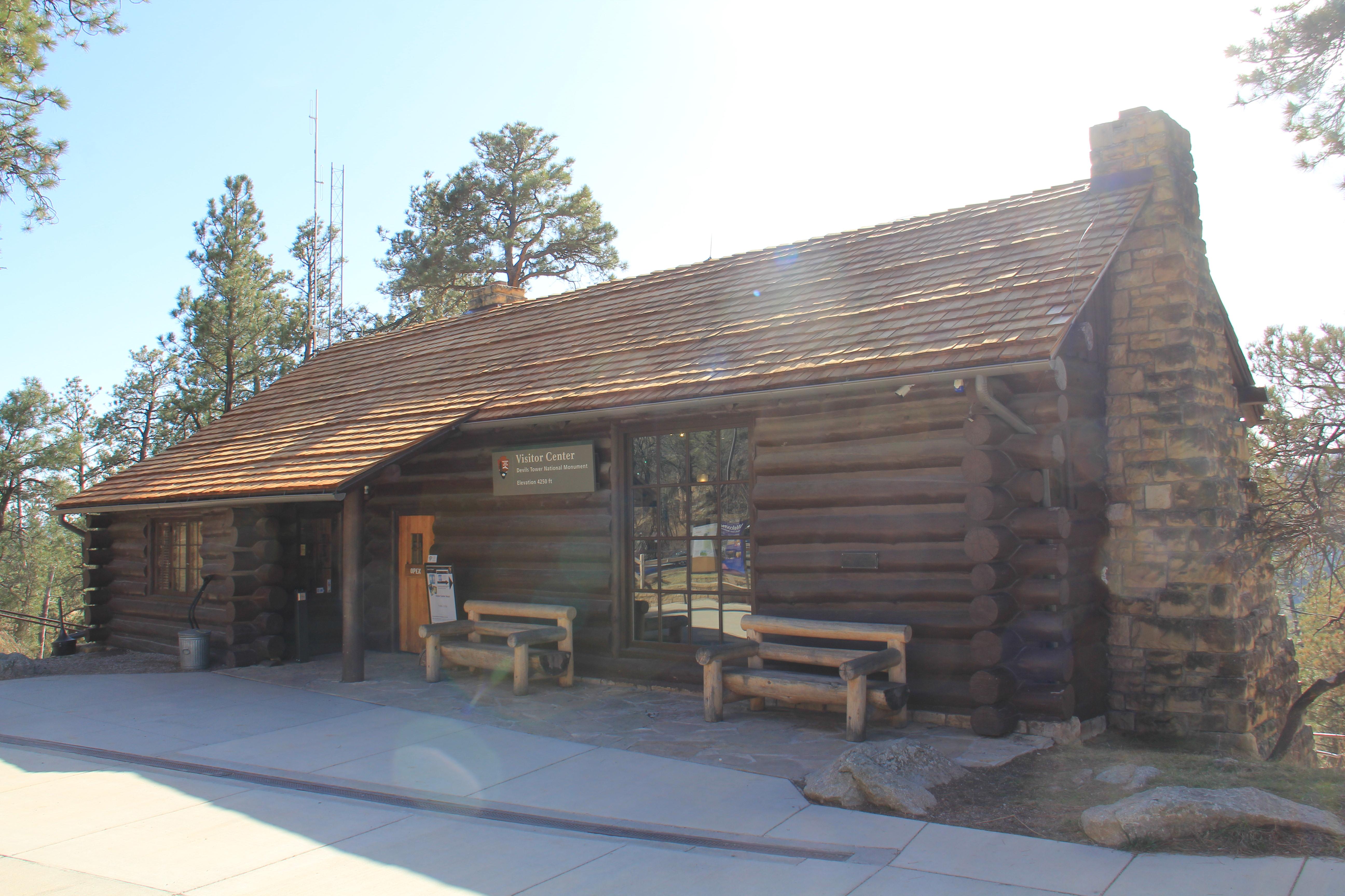 Devils Tower National Monument Visitor CenterFacility · not watchable
The Devils Tower National Monument visitor center contains the Devils Tower Natural History Association bookstore.
- Dome RockFacility · not watchable
Dome Rock is a geologic feature located along the Seminoe-Alcova Backcountry Byway. The feature rises to an elevation of 7,116 feet.
- Dougherty TrailheadFacility · not watchable
From Hill City, travel west on Deerfield Road for 5 miles. Turn north (right) onto Mystic Road, and travel for 5.5 miles.
- Douglas Ranger DistrictFacility · not watchable
The Douglas Ranger District of the Medicine Bow-Routt National Forests & Thunder Basin National Grassland includes both the Thunder Basin National Grassland…
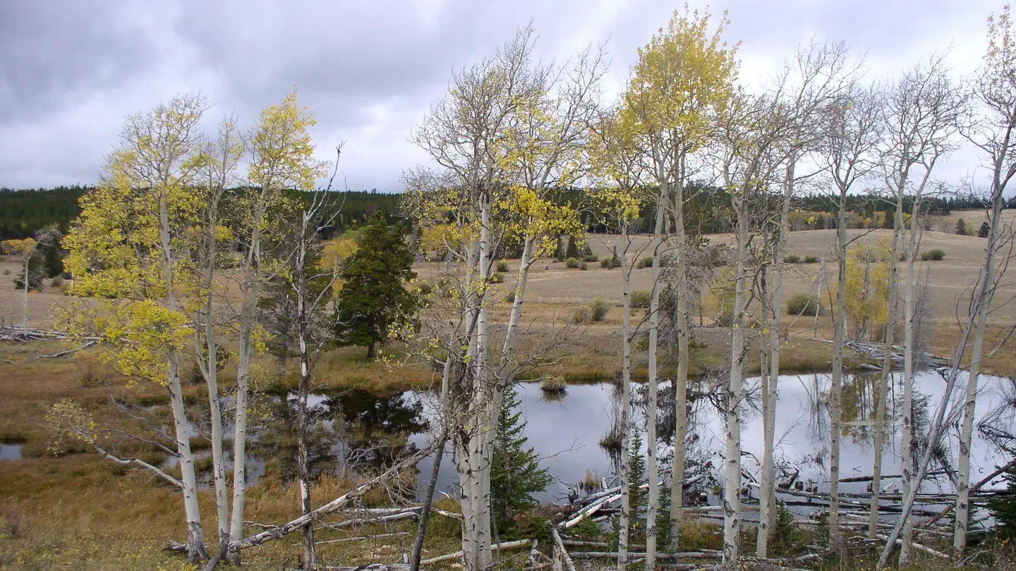 Doyle Creek CampgroundCampground · 18 sites
Overview Doyle Creek Campground is located 30 miles west of Buffalo, Wyoming, on the east side of scenic Cloud Peak Skyway, near the Cloud Peak Wilderness…
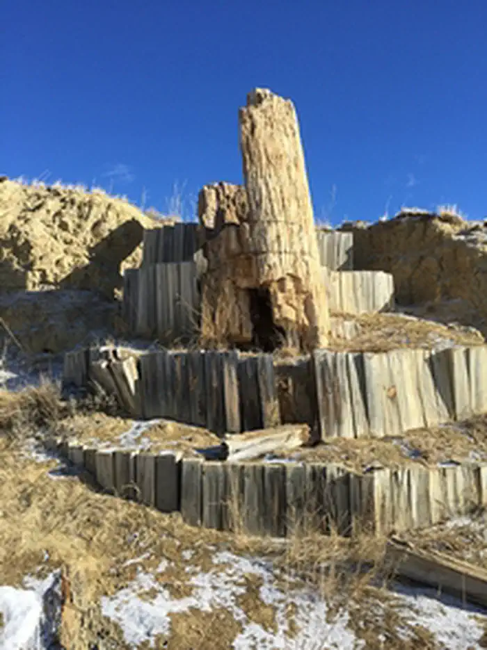 Dry Creek Petrified Tree Environmental Education AreaFacility · not watchable
The Dry Creek Petrified Tree Environmental Education Area is located about 13 miles east of Buffalo, Wyoming.
- Duck Swamp Interpretive AreaFacility · not watchable
This 81-acre oxbow lake and marsh is a cut-off meander of the Bighorn River. Visitors can hike a one-mile interpretive and educational loop overlooking the…
- Dugout Gulch Botanical Trailhead (Trail #77)Facility · not watchable
The Dugout Gulch Botanical Trail is a 2.3 mile trail plus a 4.4 mile loop trail. Far from the boreal (northern) forest of the upper Great Lakes region and…
- Dugway CampgroundCampground · not watchable
Besides the sound of the river meandering north, this is a very peaceful campground. There is flyfishing for trout here.
- Dumont TrailheadFacility · not watchable
Dumont Snowmobile Trailhead provides quick access to a series of snowmobile trails that crisscross the northern and central Black Hills and extend in eastern…
- Duncom Mountain Burn Observation SiteFacility · not watchable
The Duncom Mountain Burn occurred September 3, 1969. The size ended up being approximately 120 acres. This fire was the result of human carelessness.
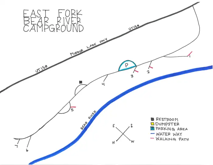 East Fork Bear River Campground (Uinta-Wasatch-Cache National Forest, UT)Campground · 7 sites
Overview East Fork Bear River Campground is nestled right along the Bear River about 35 miles south of Evanston, Wyoming.
 East Sand Dunes WSAFacility · not watchable
The Alkali Basin/East Sand Dunes Wilderness Study Area encompasses 12,800 acres of BLM-administered land with no private or state inholdings.
- East Table Boating SiteFacility · not watchable
East Table boat ramp is a quiet boat ramp that receives less use than West Table. No trailers are allowed at East Table boat ramp.
- Elbow Boating SiteFacility · not watchable
Elbow boat ramp is one of several boat ramps that you can use to launch your boat onto the scenic section of the Snake River.
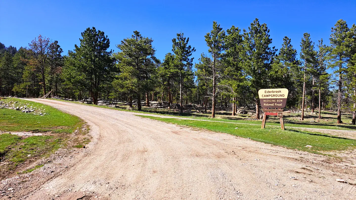 Esterbrook CampgroundCampground · 12 sites
Overview Esterbrook Campground is nestled within a pine forest along a broad ridge north of Laramie Peak.
- Fall Creek/Munger Mountain AreaFacility · not watchable
The Fall Creek/Munger Mountain area offers recreational opportunities for Hiking, Horseback riding, mountain biking, and OHV riding.
- Fallen City Interpretive SiteFacility · not watchable
Fallen City Interpretive Site sits along the Bighorn Scenic Byway. Fallen City In the process of uplift which created the Bighorn Mountains, faults and…
- False Parting of the WaysFacility · not watchable
This Interpretive pullout is at one of the locations where the Emigrant Trail crosses State Highway 28.
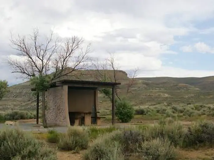 Firehole Canyon CampgroundCampground · 36 sites
Overview Firehole Canyon Campground is located on the far northeastern shore of Flaming Gorge Reservoir within the Flaming Gorge Recreation Area on the Ashley…
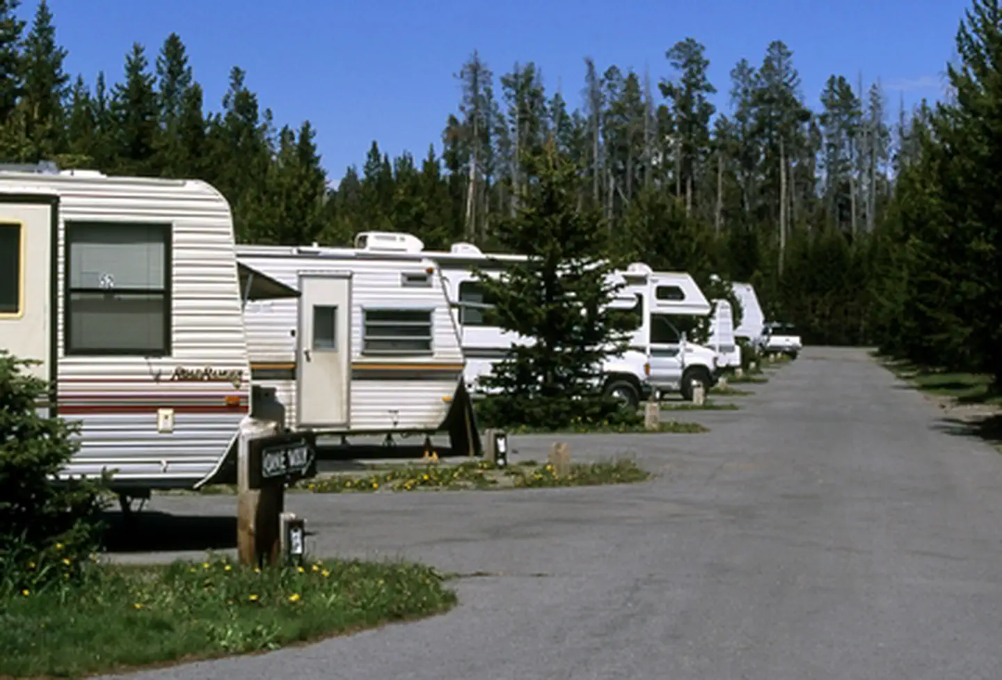 Fishing Bridge RV ParkFacility · not watchable
Fishing Bridge RV Park—elevation 7,800 feet (2377 m)—is located near the Yellowstone River where it exits Yellowstone Lake on its way toward the Grand Canyon…
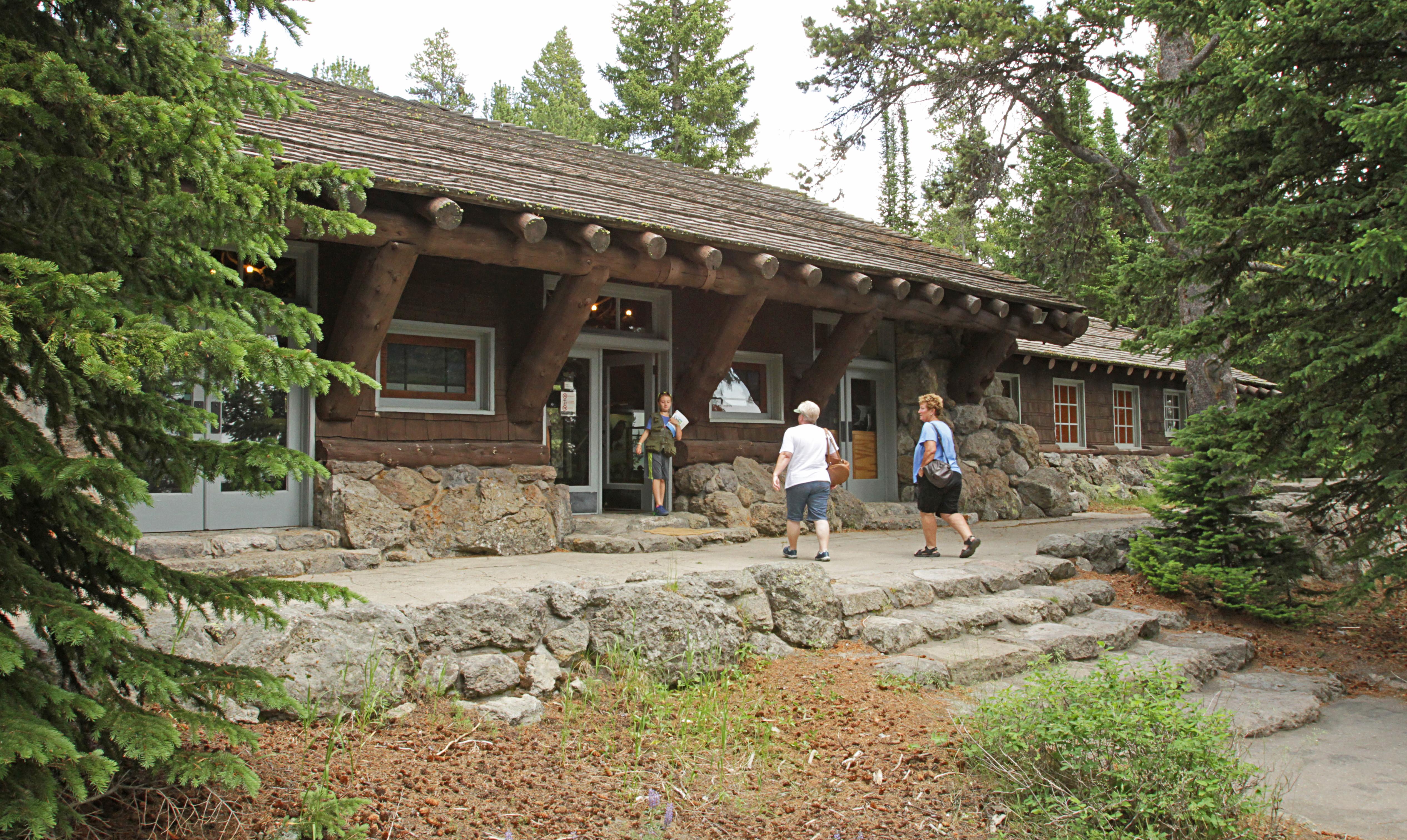 Fishing Bridge Visitor Center and Trailside MuseumFacility · not watchable
The distinctive stone-and-log architecture of this old building—known as "parkitecture"—was one of several prototypes for park buildings around the country.
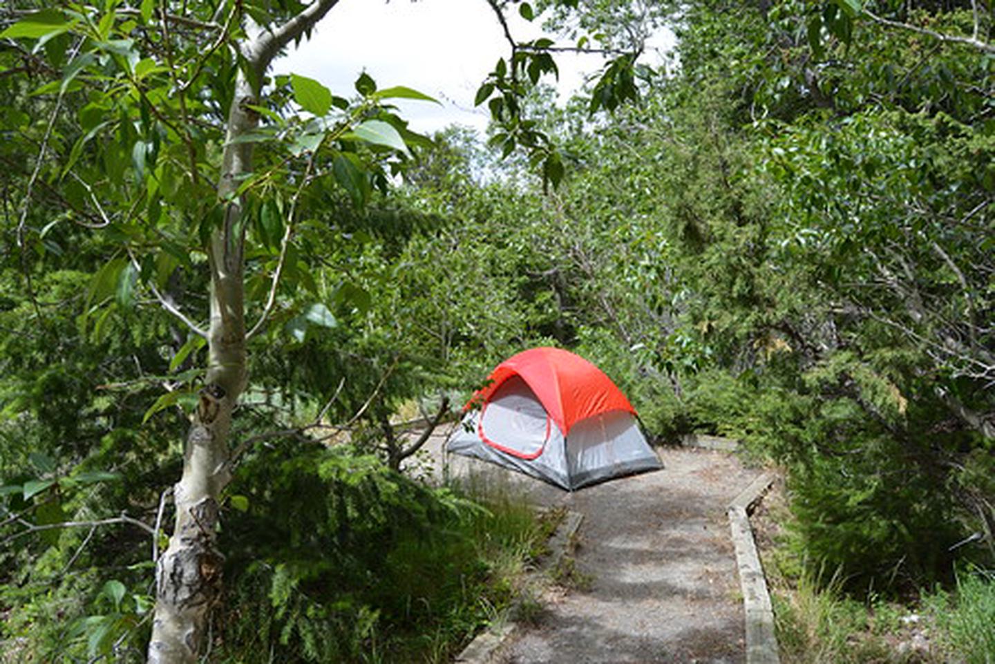 Five Springs Falls CampgroundCampground · not watchable
Five Springs Falls Campground provides an excellent opportunity for camping, hiking, picnicking, and sightseeing.
- Flash Dam-West Fork Interpretive SiteFacility · not watchable
Flash Dam-West Fork Interpretive Site is one of many interpretive sites on the forest.
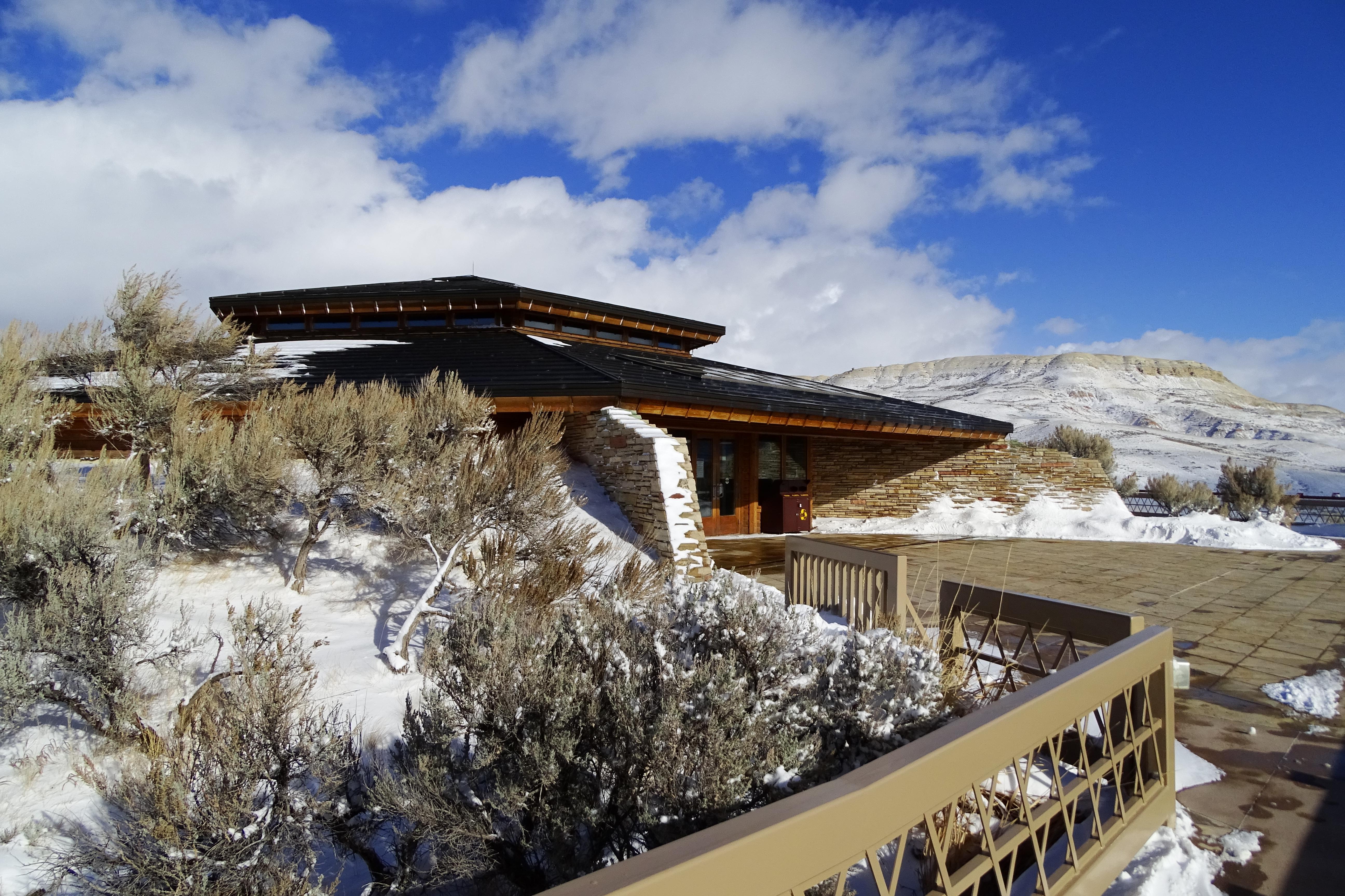 Fossil Butte Visitor CenterFacility · not watchable
Over 2000 fossils are on exhibit. Video programs feature what scientists have learned from the fossils and the rocks they're found in, and how fossils are…
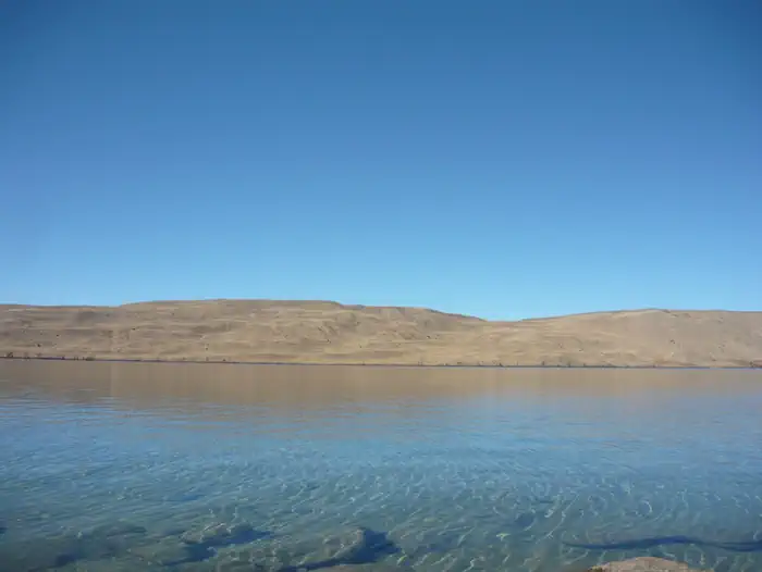 Fremont LakeCampground · 51 sites
Overview Fremont Lake Campground is located on the east shore of pristine Fremont Lake at an elevation of 7,400 feet, just 7 miles northeast of Pinedale,…
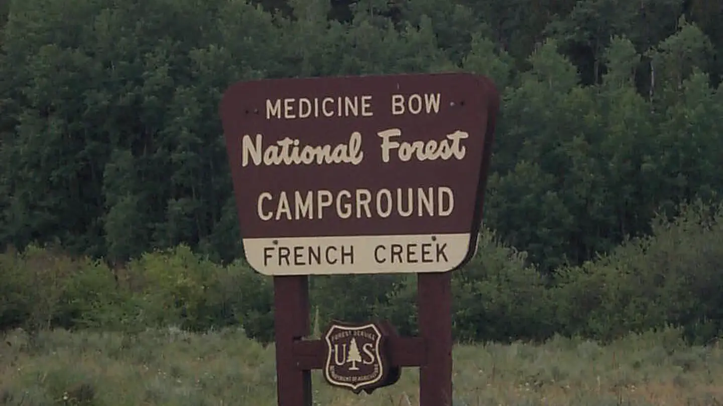 French Creek Campground (WY)Campground · 11 sites
Overview French Creek Campground is located on Forest Road 206. Facilities include 11 campsites (small trailers only up to 32 feet), water, picnic tables,…
- Gebo-Crosby Historic Mining DistrictFacility · not watchable
Gebo- Crosby Historical Mining District is a historical coal mining town interpretive site.
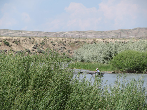 Golden Currant CampgroundCampground · not watchable
Golden Currant Campground is the perfect place to go if you want to picnic, bank fish or tent camp.
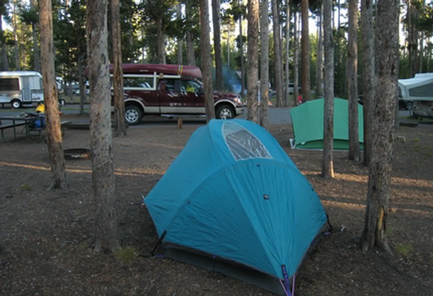 Grant Village CampgroundFacility · not watchable
Grant Campground—elevation 7,800 feet (2377 m)—is located in Grant Village, just off the Grand Loop Road at the south end of Yellowstone Lake.
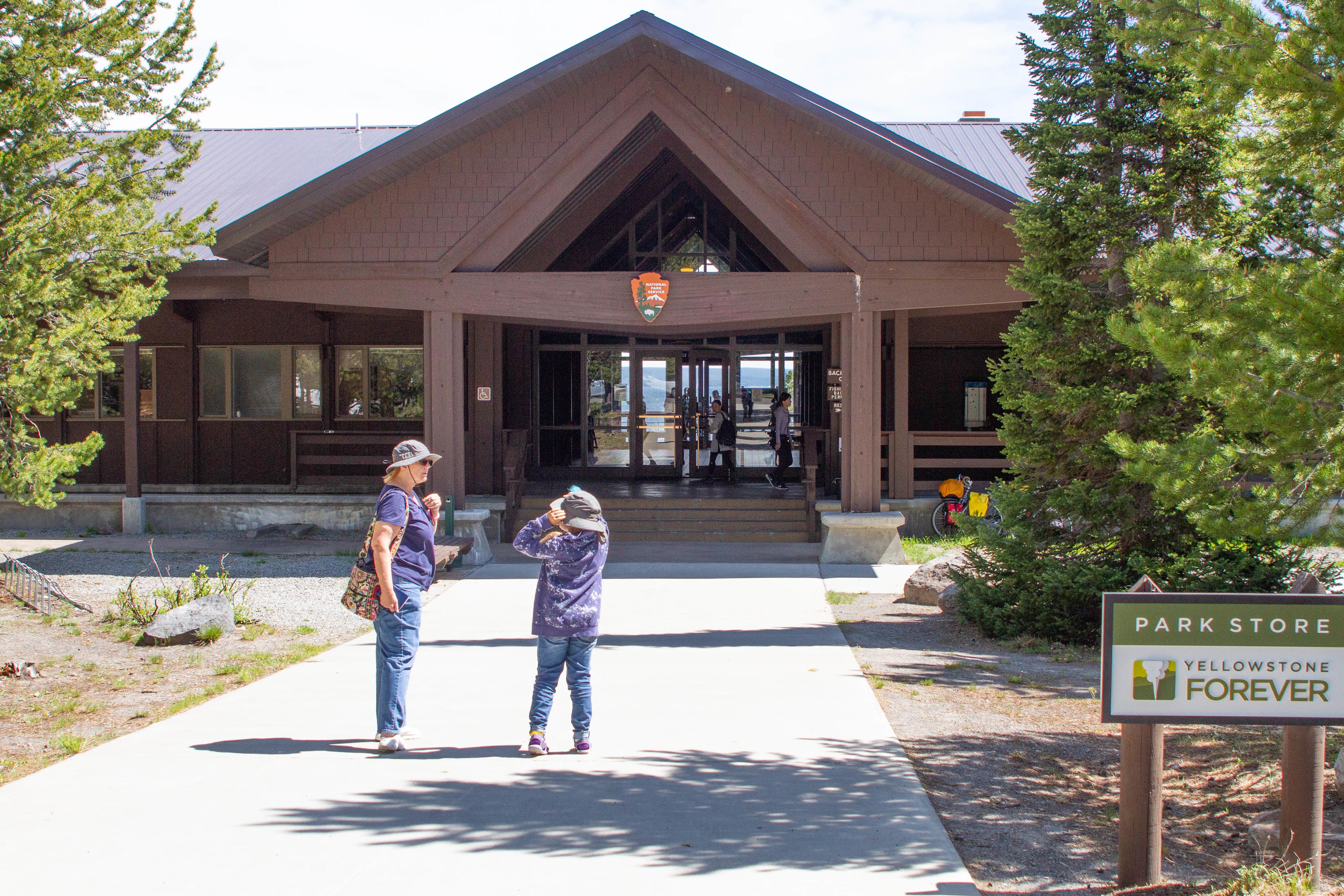 Grant Visitor CenterFacility · not watchable
Fire plays an important, natural role in the ecosystems found in Yellowstone National Park and the surrounding region.
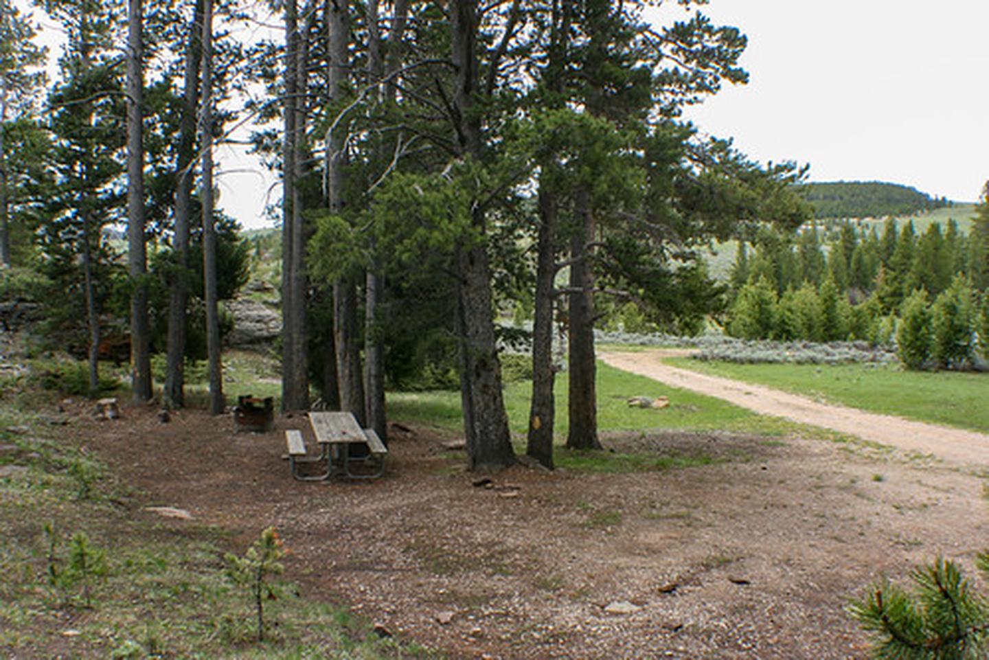 Grave Springs CampgroundCampground · not watchable
Visitors to the Grave Springs Campground can camp, hunt, picnic, and it offers excellent small stream fishing and wildlife viewing.
 Green MountainFacility · not watchable
Green Mountain is located in southcentral Wyoming about ten miles south of Jeffrey City and about 50 miles northwest of Rawlins (as the crow flies).
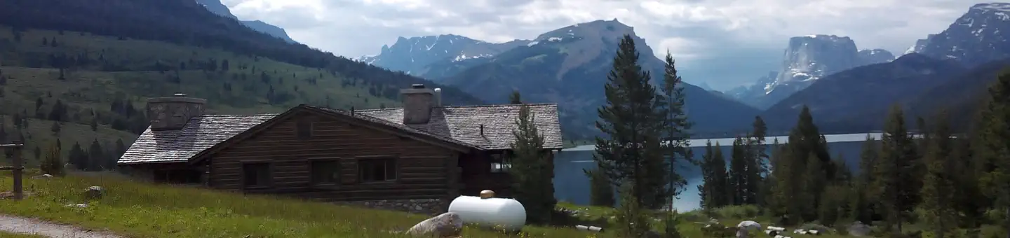 Green River Lake LodgeCampground · 1 sites
Overview The Green River Lakes Lodge is located 50 miles north of Pinedale, Wyoming.
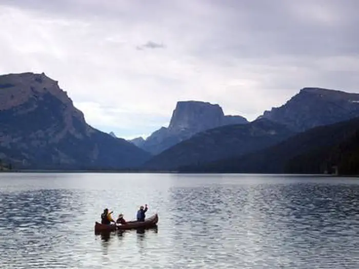 Green River Lakes - Bridger-Teton NF (WY)Campground · 41 sites
Overview Green River Lakes Campground is located near the shores of beautiful Lower Green River Lake, at an elevation of 8,000 feet.
- Green River Snowmobile TrailheadFacility · not watchable
This is a wintertime trailhead, with a large plowed parking area and a toilet for your convenience.
- Greys River CorridorFacility · not watchable
The Greys River Corridor encompasses the area surrounding the Greys River itself and the Greys River Road, and offers numerous opportunities for fishing,…
- Greys River Ranger DistrictFacility · not watchable
Greys River Ranger District Current Conditions page Alpine Area Trails Project funded by Wyoming State Trails RTP Grant Office hours: 8:00 am - 4:30 pm…
- Grizzly Guard Station Interpretive SiteFacility · not watchable
This recreation site is temporarily closed (no services provided) to encourage safe social distancing.
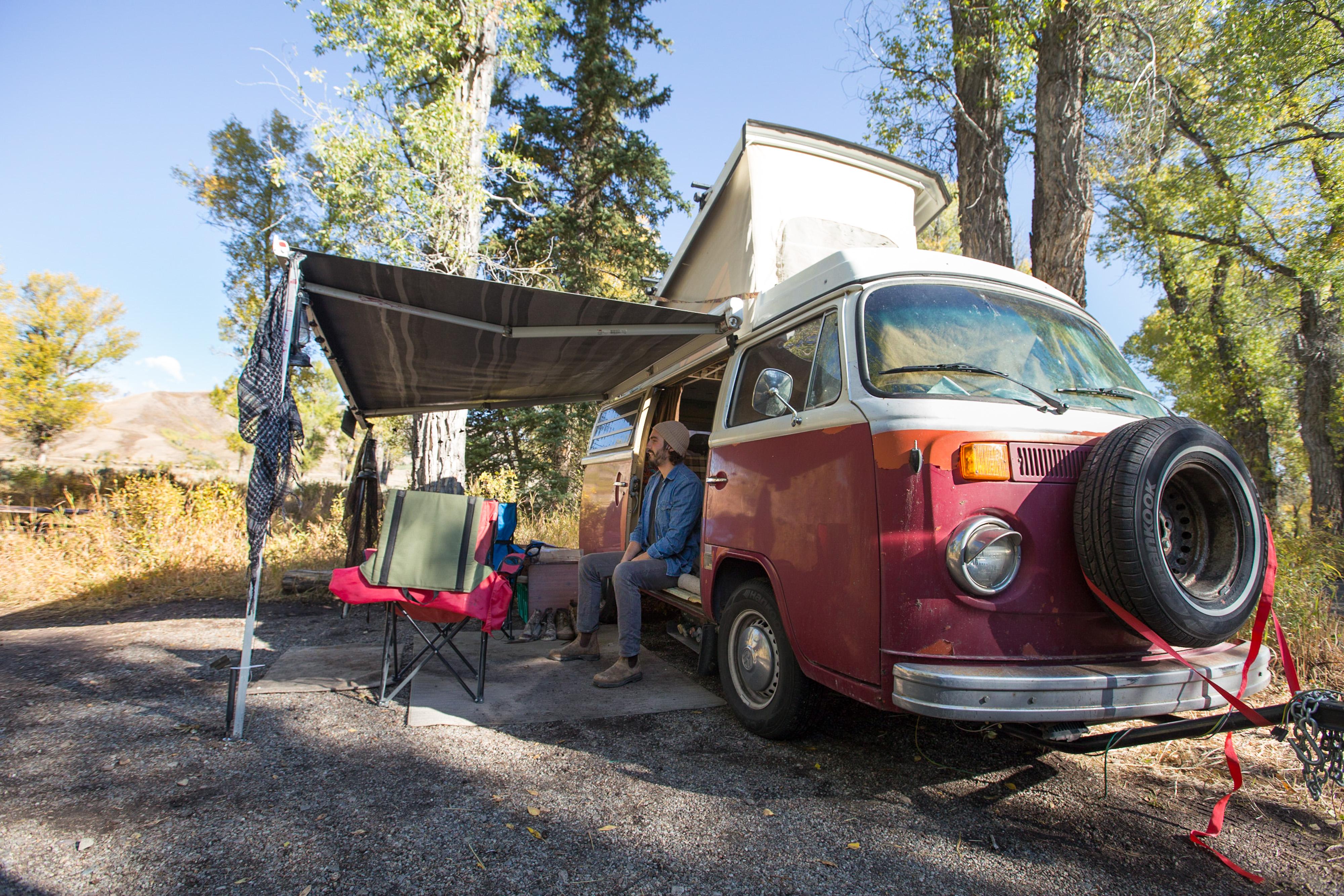 Gros Ventre CampgroundCampground · 317 sites
Overview Gros Ventre (pronounced ‘grow-vont’), means “big belly” in French, and the Gros Ventre Campground—surrounded by cottonwood trees and featuring…
- Gros Ventre WildernessFacility · not watchable
The Gros Ventre Wilderness is a gem in the Greater Yellowstone Ecosystem. The Wilderness provides critical habitat for many species of wildlife, hosts…
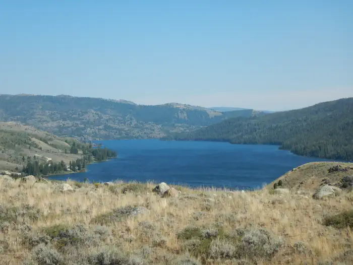 Half Moon Lake CampgroundCampground · 17 sites
Overview Half Moon Lake campground is situated just off the northeast shore of Half Moon Lake at an elevation of 7,600 feet in the Bridger-Teton National…
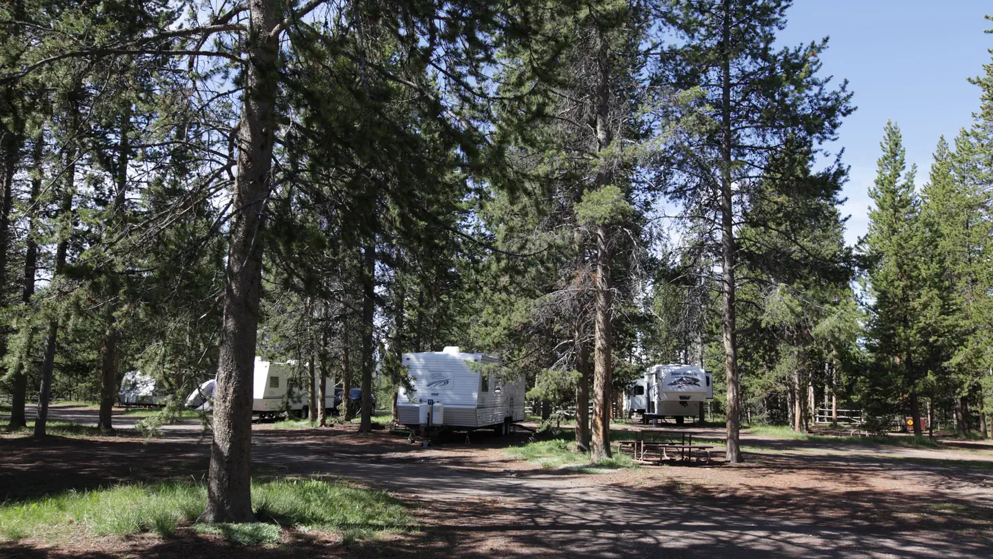 Headwaters Campground at Flagg RanchCampground · 165 sites
Overview Availability will go live on Recreation.gov on a 6-month rolling basis for RV sites, Tent sites, and Camper Cabins. Located in the John D.
- Hell Canyon TrailheadFacility · not watchable
From Custer, the Hell Canyon Trailhead is approximately 11 miles west on Highway 16. This trail is maintained for hikers, horseback riders and mountain bikers.
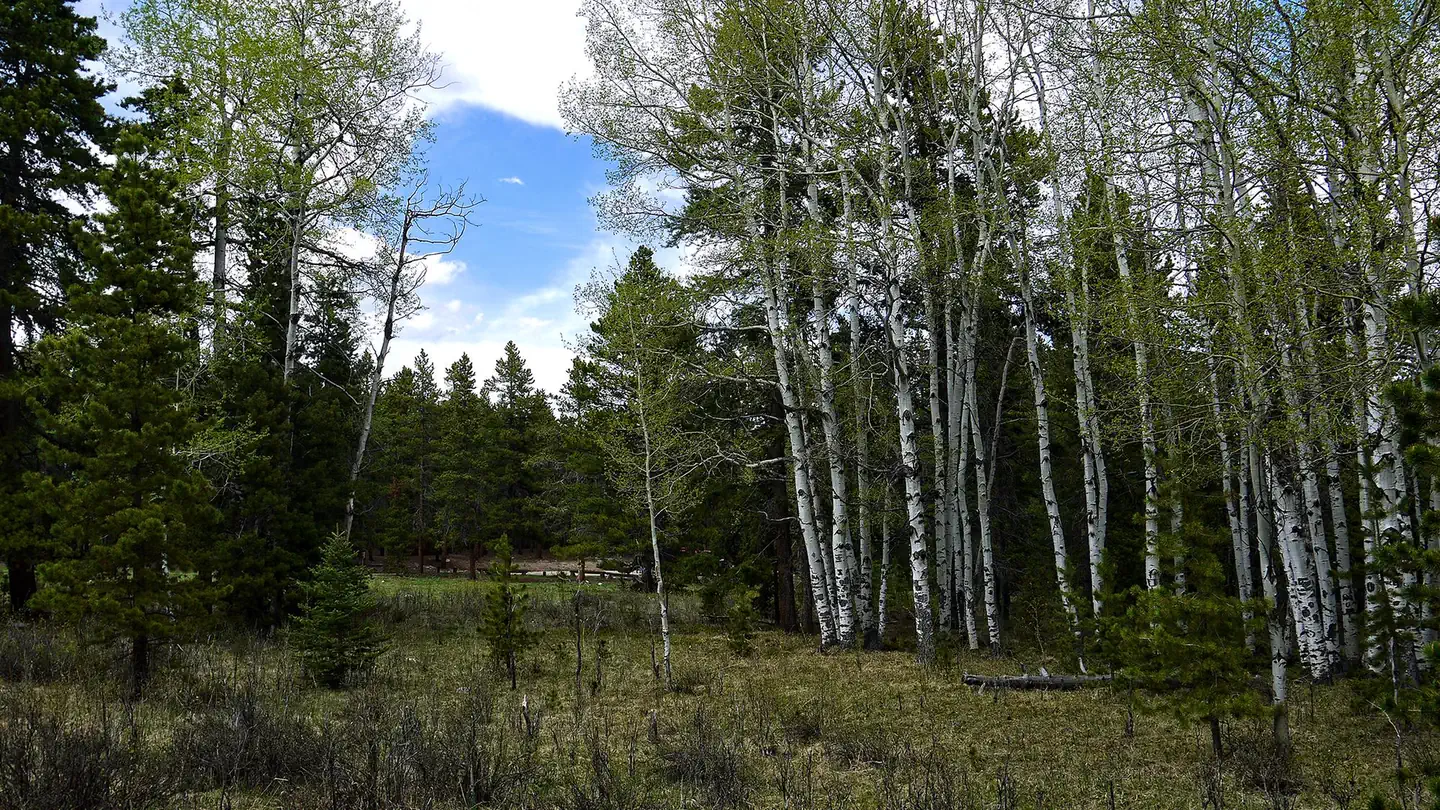 Hettinger Group AreaCampground · 1 sites
Overview Hettinger Group Campground is located 14 miles west of Buffalo, Wyoming on the east side of scenic Cloud Peak Skyway, near the Cloud Peak Wilderness…
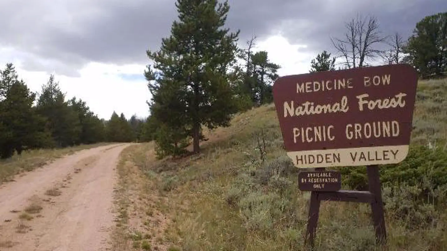 Hidden Valley Group SiteCampground · 1 sites
Overview Hidden Valley Group Site offers a large open space surrounded by scenic forest.
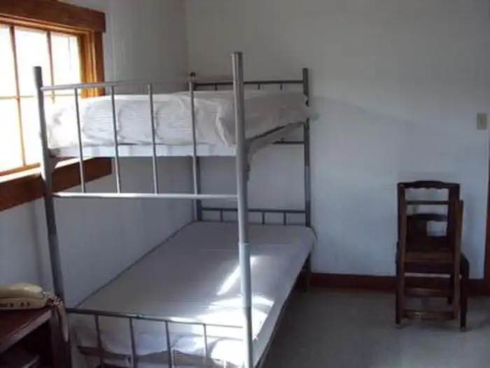 Hoback Guard StationCampground · 1 sites
Overview Water & Power are NOT GUARANTEED, Hoback Guard Station was built in 1935 by the CCC to be used as a working Ranger Station, and is considered eligible…
- Hoback River AreaFacility · not watchable
Within the Hoback River Area lies an abundance of recreational opportunity and amazing scenery waiting for you to enjoy. Driving south of Jackson 15 miles and…
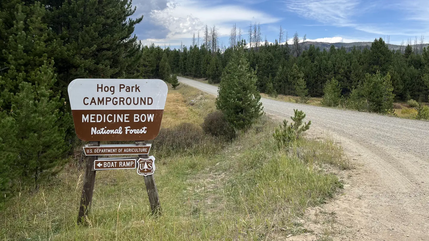 Hog Park CampgroundCampground · 50 sites
Overview Hog Park Campground offers a peaceful setting on the southeast shore of Hog Park Reservoir.
- Hogan and Luce CampgroundCampground · not watchable
The Hogan and Luce Campground has five individual camp sites and one group site. It is located near two reservoirs.
- Hogback Interpretive SiteFacility · not watchable
Hogback Interpretive Site sits along the Bighorn Scenic Byway. Hogback About 500 million years ago the air and land were warmer, and the seas covered all of…
- Honeycomb Buttes WSAFacility · not watchable
The Honeycomb Buttes WSA encompasses 39,908 acres of BLM-administered land, 640 acres of split estate and 640 acres of state land.
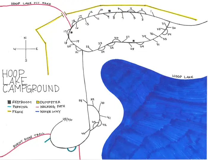 Hoop Lake CampgroundCampground · 44 sites
Overview Hoop Lake Campground is located 35 miles south of Mountain View, WY at an elevation of 9,000 feet.
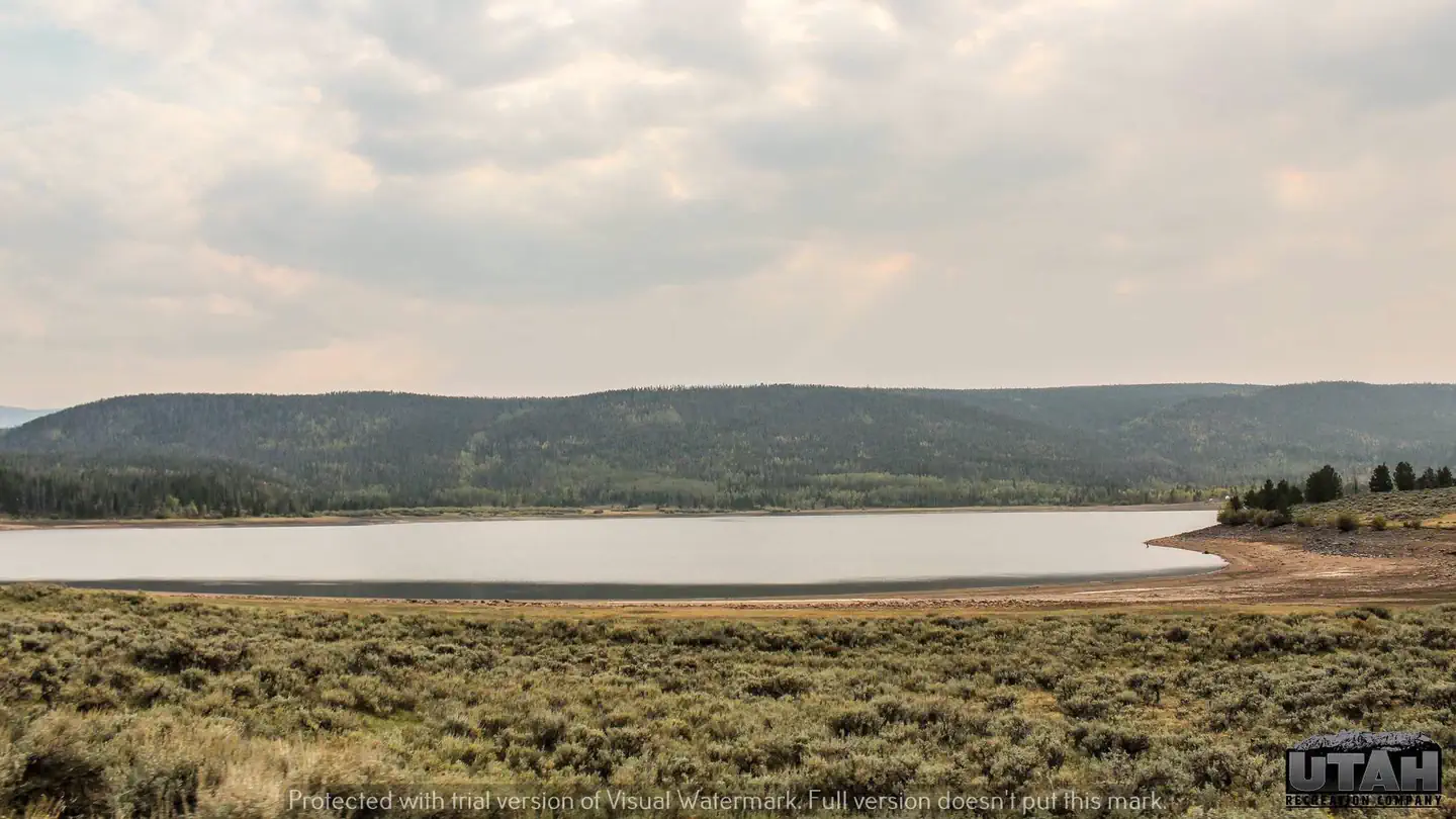 Hoop Lake Trailhead CampgroundCampground · 7 sites
Overview Hoop Lake Trailhead Campground is a high elevation campground, 9,000 feet, in the north east corner of the state of Utah, between Flaming Gorge and…
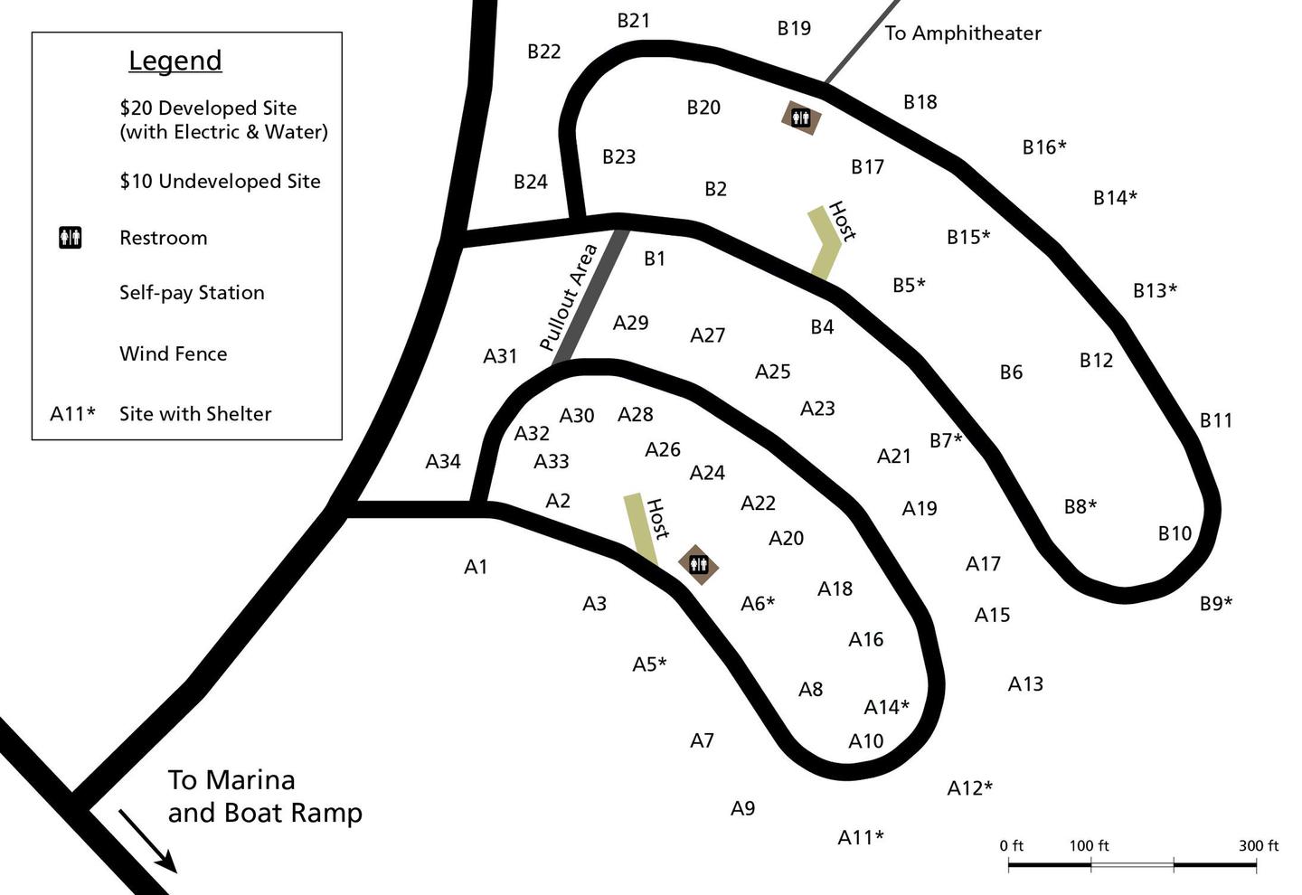 Horseshoe Bend CampgroundCampground · not watchable
- Located near Lovell, WY - Open All Year - All sites include fire pit and picnic table. - 68 RV and tent sites - 28 sites have water and electrical hook-ups.
- Horsetail Creek Single-Track Motorcycle AreaFacility · not watchable
This area offers a 10 mile loop of advanced single-track motorcycle trail. This trail offers challenging opportunities characterized by steep and narrow trail…
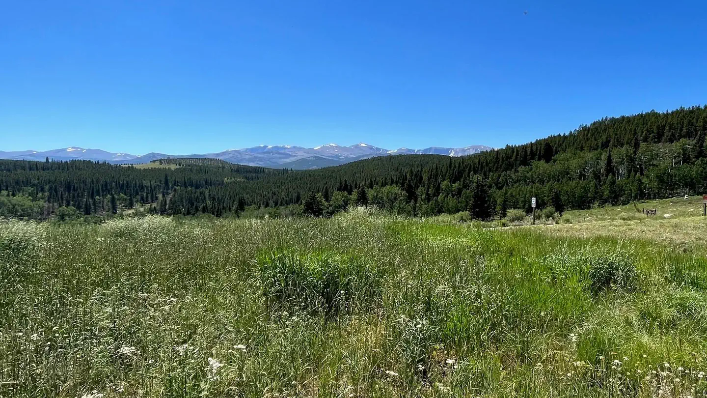 Hunter CampgroundCampground · 9 sites
Overview Hunter Trailhead is a campground constructed with the equestrian camper in mind, but available for all users.
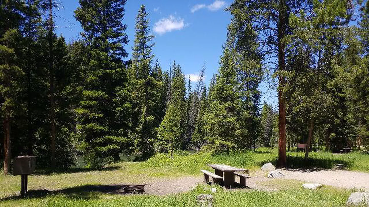 Hunter PeakCampground · 8 sites
Overview Hunter Peak Campground is located on the Chief Joseph Scenic Highway/State Highway 296, approximately four miles south of the junction with scenic…
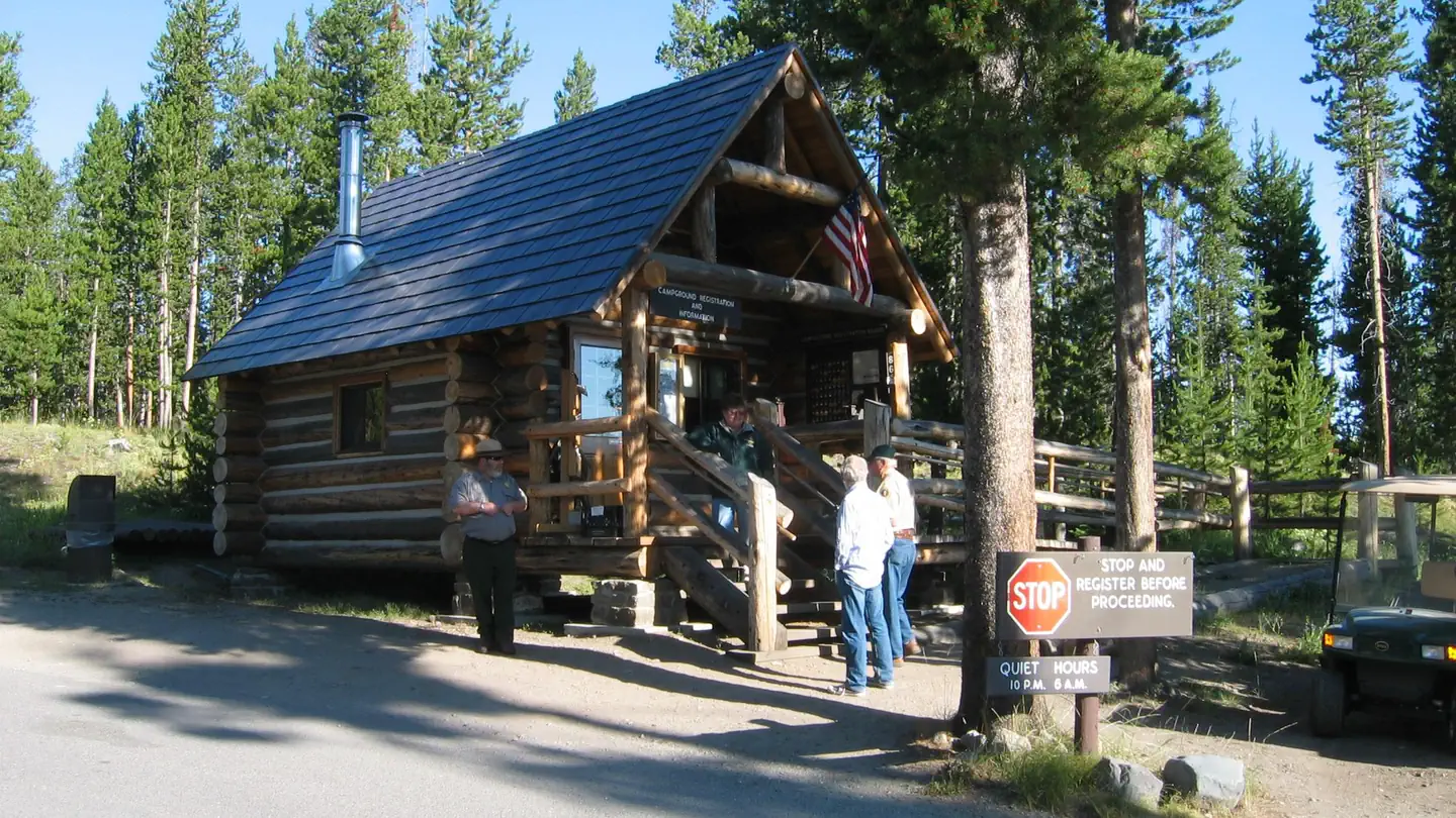 Indian Creek Campground (WY)Campground · 68 sites
Overview Located about eight miles (13 km) south of Mammoth Hot Springs on the road to Norris, Indian Creek Campground—elevation 7,300 feet (2225 m)—sits near…
- Island Lake CampgroundCampground · not watchable
This beautiful high mountain lake campground has 21 newly remodeled sites. There is always plenty to do at this campground; hiking, fishing, wildlife viewing,…
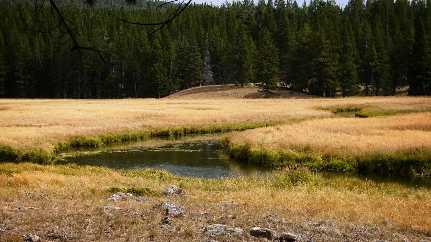 Island Park CampgroundCampground · 9 sites
Overview Island Park Campground is located in pine and spruce forest on West Tensleep Creek near West Tensleep Lake and the Cloud Peak Wilderness.
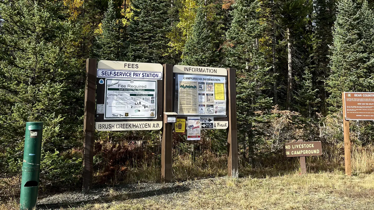 Jack Creek Campground (WY)Campground · 16 sites
Overview A campground in the Sierra Madre Range that sees medium use in the summer and fall.
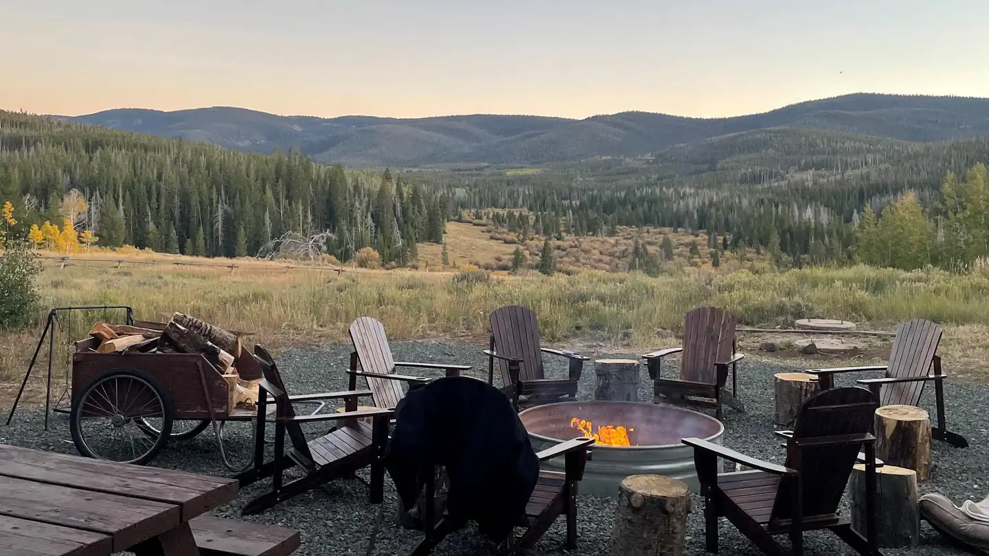 Jack Creek Crew QuartersCampground · 1 sites
Overview The Jack Creek Crew Quarters is a large modern facility available for $225 per night from mid-June through late October.
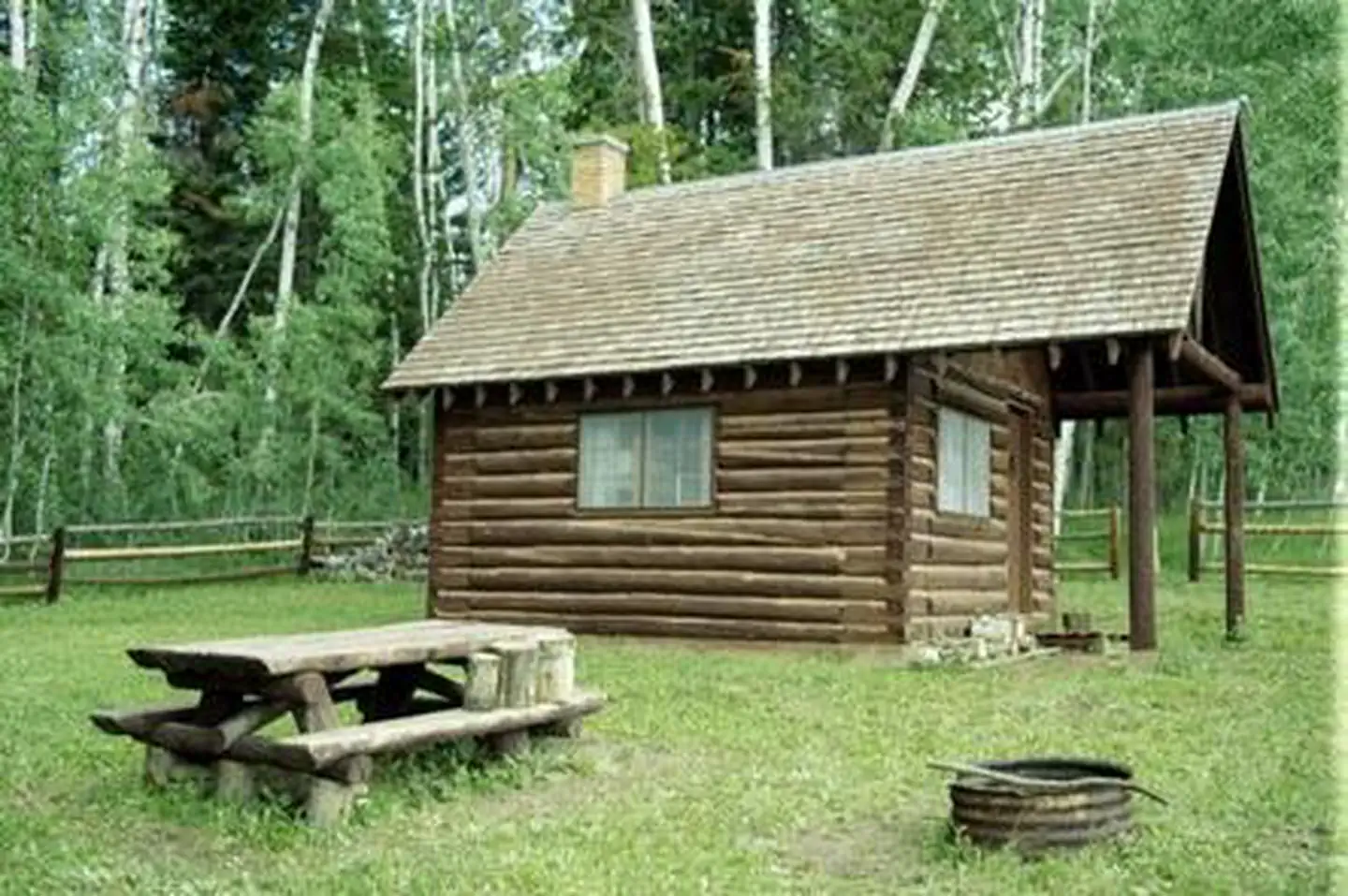 Jack Creek Guard StationCampground · 1 sites
Overview The Jack Creek Guard Station is available mid-June through October, weather permitting.
- Jackson National Fish HatcheryFacility · not watchable
Jackson National Fish Hatchery, located on the National Elk Refuge, produces native Snake River Cutthroat trout for Federal water projects, States and Tribes…
- Jackson Ranger DistrictFacility · not watchable
The Jackson Ranger District offers an incredible abundance of recreation areas and activities to choose from for all visitors. From internationally…
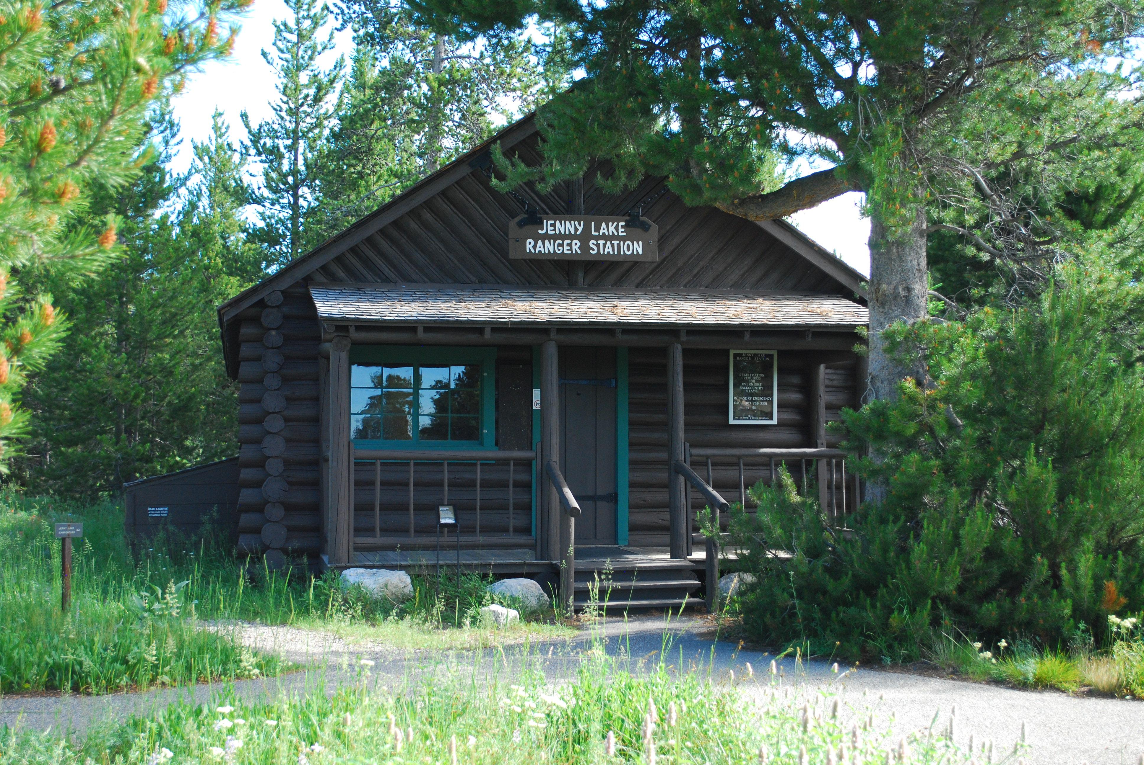 Jenny Lake Ranger StationFacility · not watchable
In the 1930s, the Jenny Lake Ranger Station and Museum opened as the park’s first visitor facility.
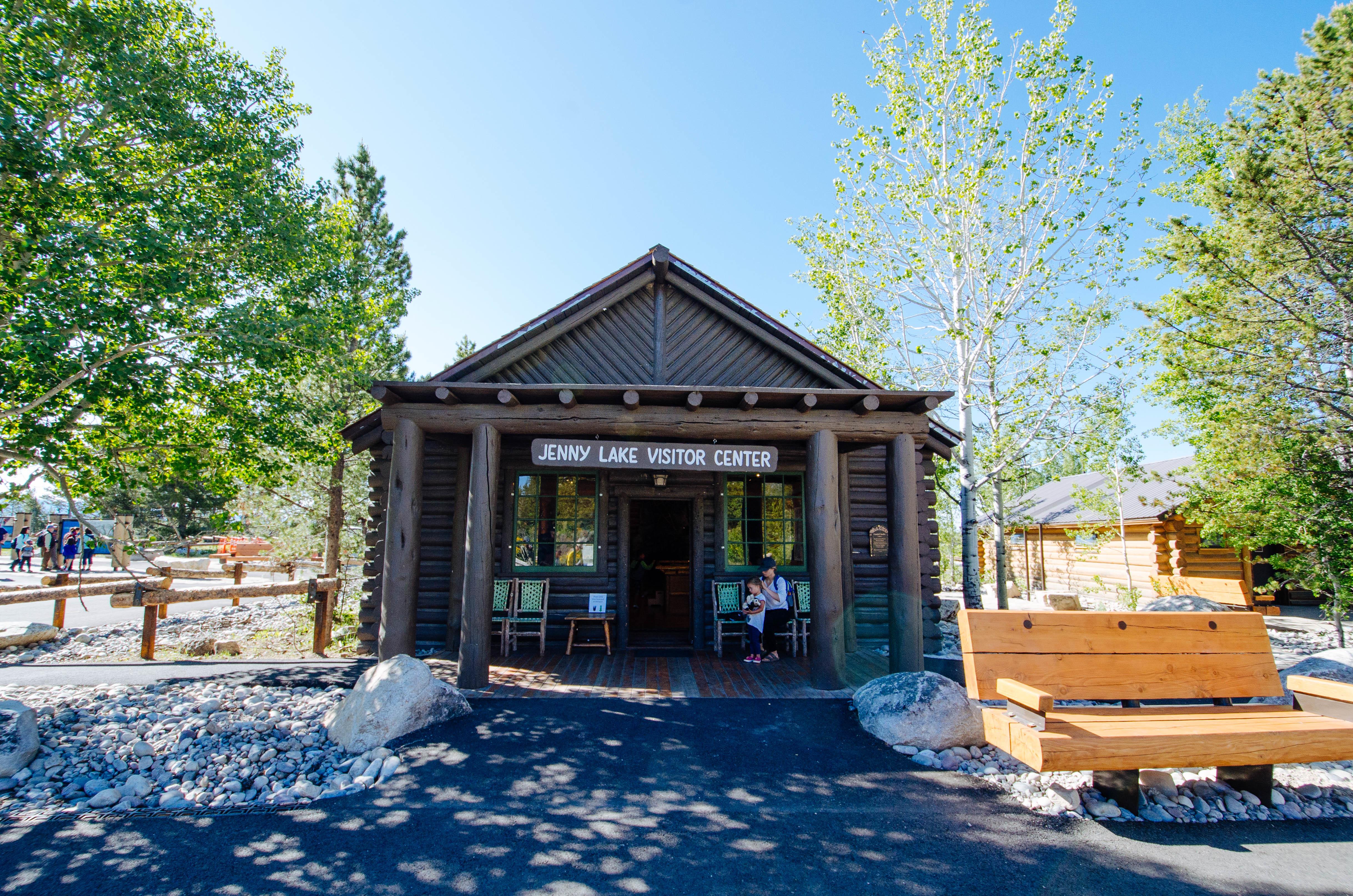 Jenny Lake Visitor CenterFacility · not watchable
Harrison Crandall built this cabin in 1921 near the Cathedral Group Turnout as his studio.
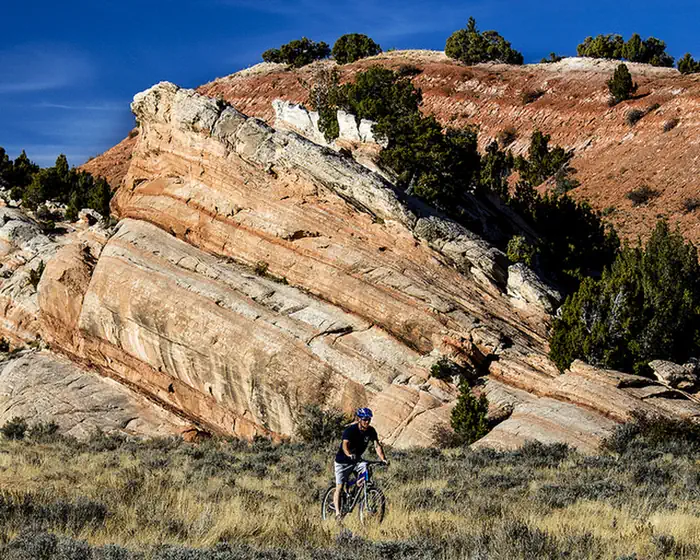 Johnny Behind the RocksFacility · not watchable
The Johnny Behind the Rocks Trail System provides mountain bikers with a high desert experiences in a compact area.
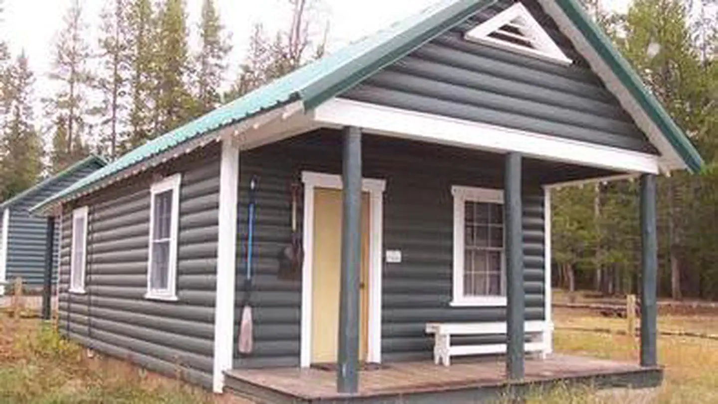 Kelley Guard StationCampground · 1 sites
Overview Kelley Guard Station is a historic Forest Service guard station built by the Civilian Conservation Corps in 1933.
- Kemmerer Ranger DistrictFacility · not watchable
WINTER CONDITIONS: Winter Wildlife Closure dates and Winter Closure Area Maps Kemmerer Ranger District 308 Hwy 189 North Kemmerer, WY 83101 307-828-5100Fax…
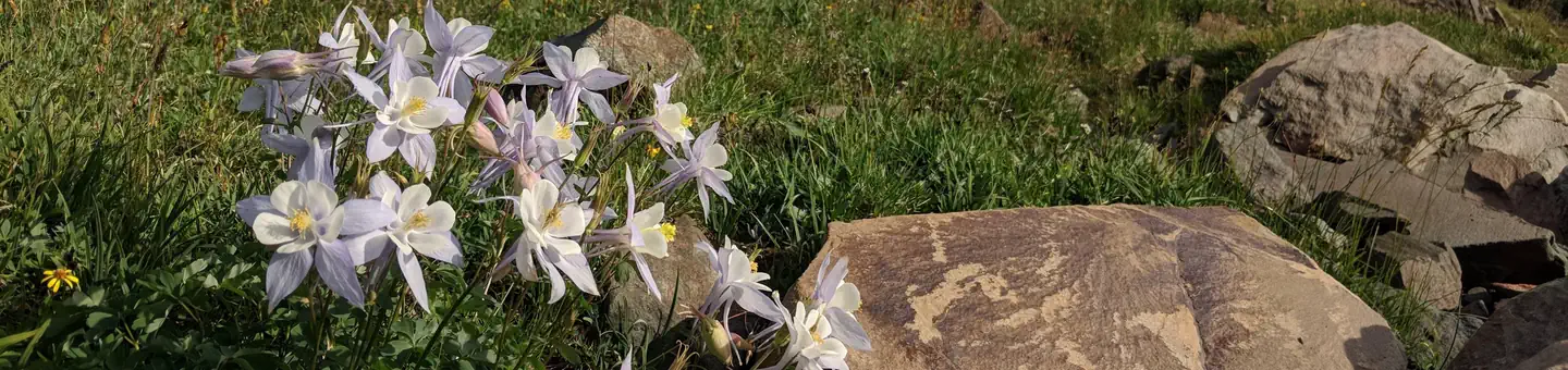 Keystone Ranger StationCampground · 1 sites
Overview Located deep within the Medicine Bow National Forest, Keystone Cabin offers a unique lodging experience in southeastern Wyoming for guests seeking…
- Kinney Canyon TrailheadFacility · not watchable
From Hill City, travel west on Deerfield Road for 10 miles. Turn north (right) onto Slate Prairie Road and travel for 2.8 miles.
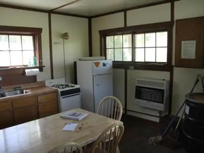 La Barge Guard StationCampground · 1 sites
Overview Historic La Barge Guard Station is located 87 miles north of Kemmerer, Wyoming in the Hams Fork Area of Bridger-Teton National Forest.
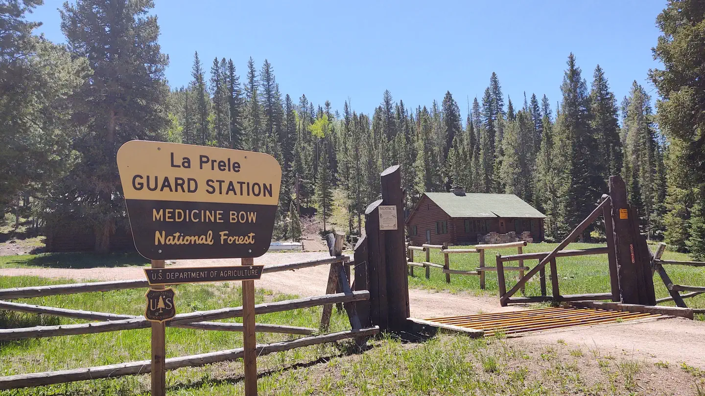 La Prele Guard StationCampground · 1 sites
Overview La Prele Guard Station is located south of Douglas, Wyoming in Medicine Bow-Routt National Forest.
- Lake HattieFacility · not watchable
Lake Hattie Reservoir is a popular fishing, boating, and windsurfing area located near Laramie, WY. The area has boat ramps and dispersed camping is allowed.
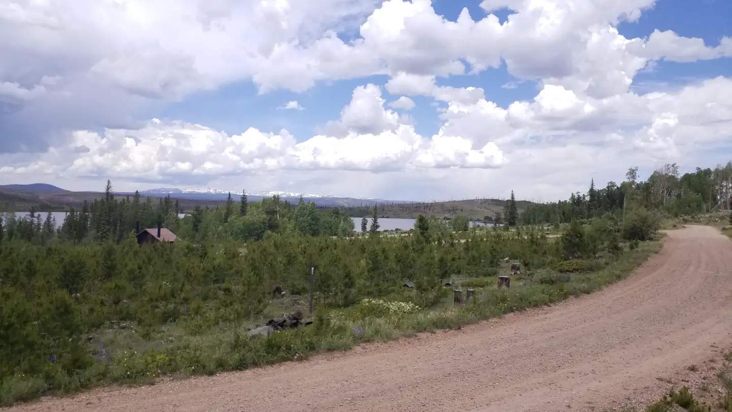 Lake OwenCampground · 35 sites
Overview The campground is adjacent to Lake Owen. It is comprised of two loops with nearby Lodgepole pines and a few Aspen.
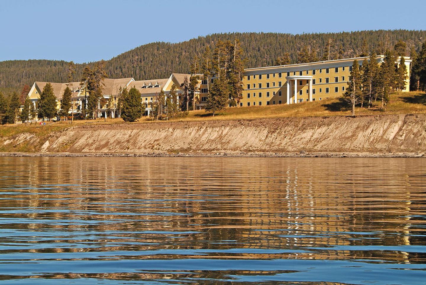 Lake Yellowstone Hotel and CabinsFacility · not watchable
The Lake Yellowstone Hotel & Cabins, built in 1891 and a member of Historic Hotels of America® since 2012 was designated a National Historic Landmark in 2015.
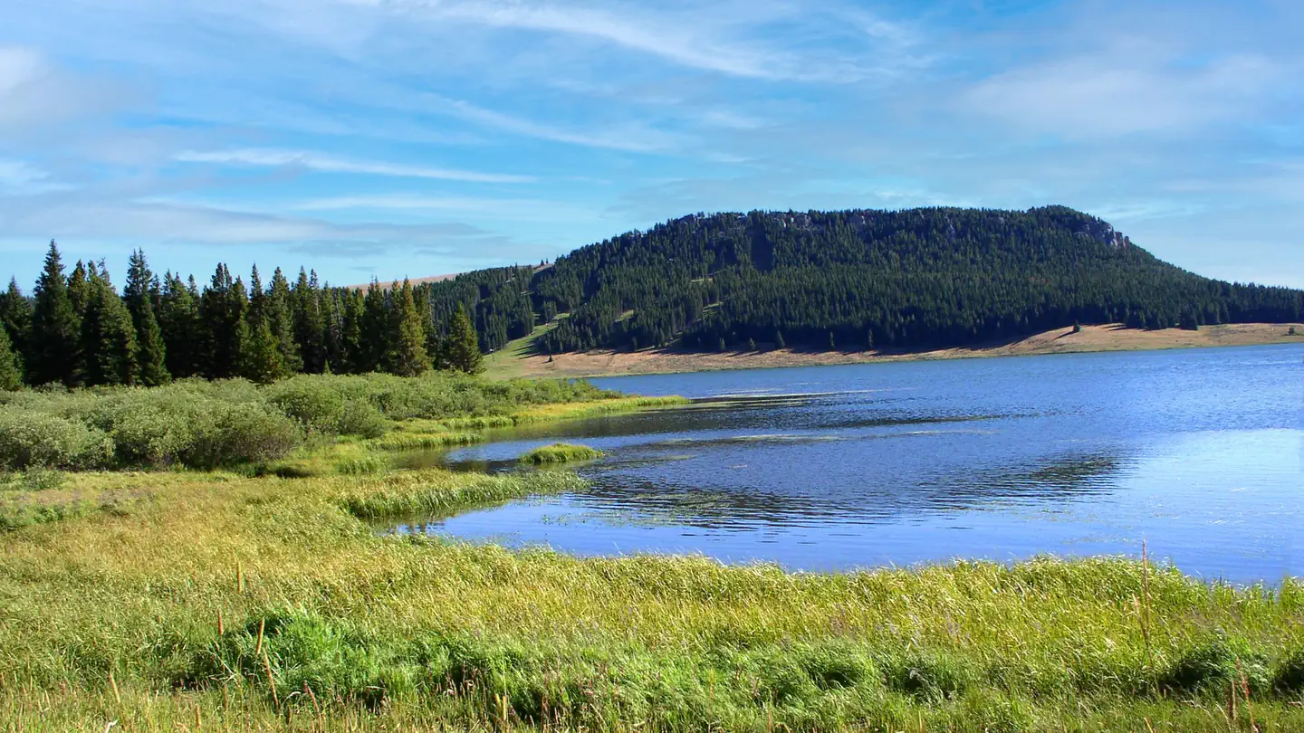 Lakeview BighornCampground · 19 sites
Overview Lakeview Campground is located on Meadowlark Lake about 50 miles east of Worland, Wyoming on the west side of scenic Cloud Peak Skyway, near the Cloud…
- Laramie Peak AreaFacility · not watchable
The Laramie Peak area is located in east central Wyoming, stretching from southeast of Casper to west of Wheatland. This portion of the Medicine Bow National…
- Laramie Peak TrailheadFacility · not watchable
NOTE: Currently has a down tree trunk across the trail impacting OHV access. At the base of Laramie Peak in the North Laramie Range.
- Laramie Ranger DistrictFacility · not watchable
The Laramie Ranger District consists of about 400,000 acres in the Snowy Range and the Medicine Bow mountains in southeast Wyoming.
- Large Vehicle CampgroundFacility · not watchable
The Large Vehicle Campground located within Scab Creek Recreation Area provides 7 campsites for those wishing to camp with packs stock, trailers, large RV's or…
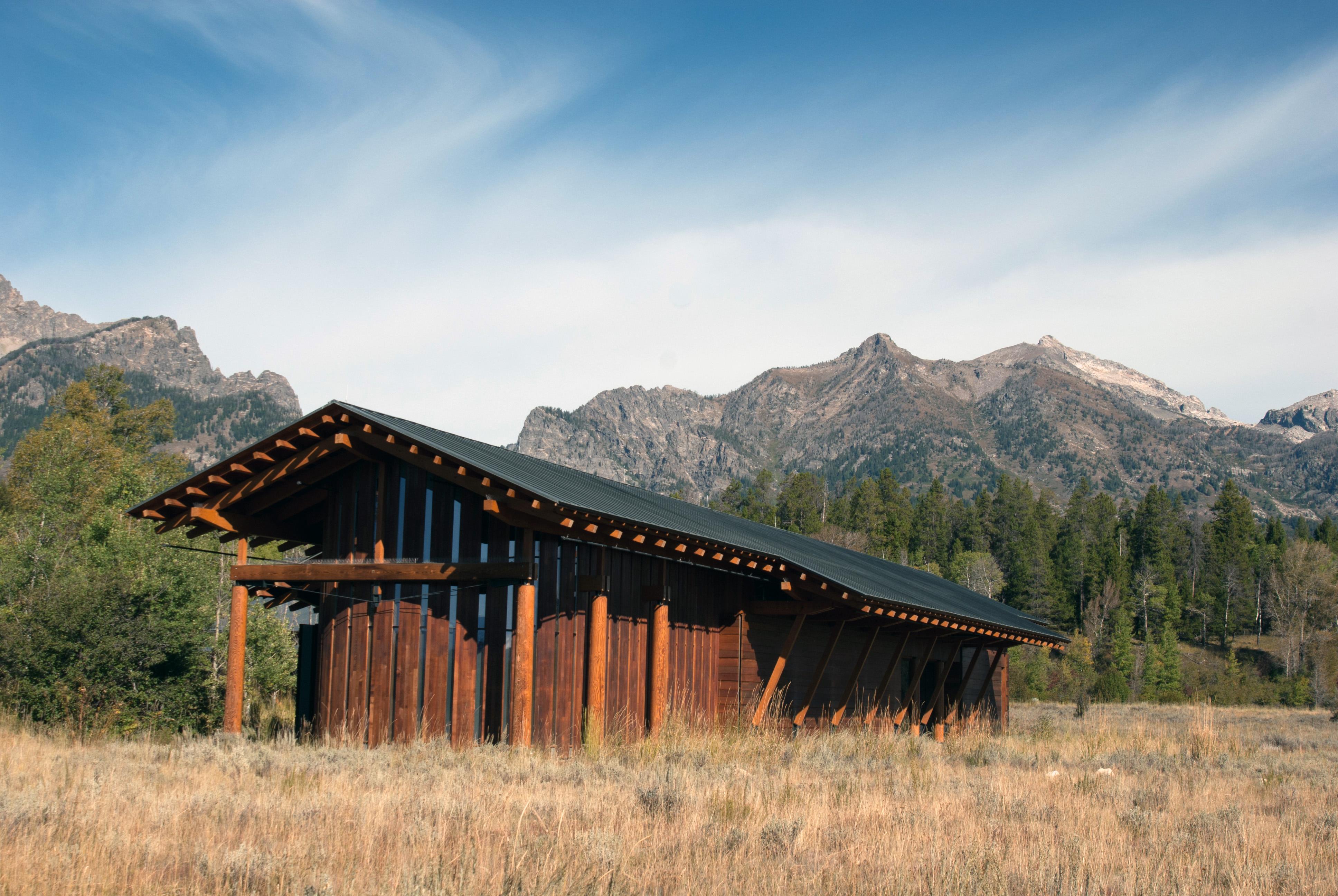 Laurance S. Rockefeller Preserve CenterFacility · not watchable
The Laurance S. Rockefeller Preserve Center allows visitors to learn about Mr. Rockefeller's vision and his legacy of conservation stewardship.
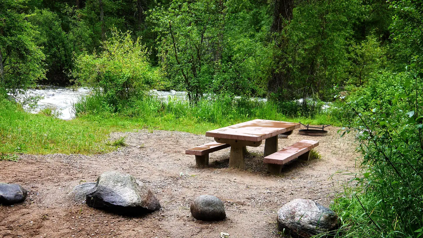 Leigh Creek CampgroundCampground · 10 sites
Overview Leigh Creek Campground is located about 35 miles east of Worland, Wyoming, on the west side of scenic Cloud Peak Skyway, near the Cloud Peak…
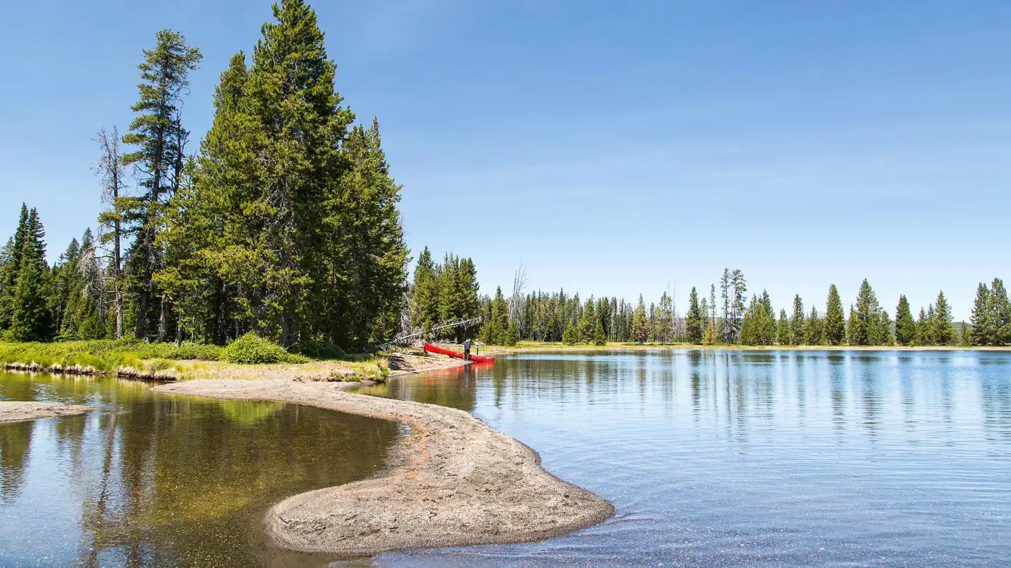 Lewis Lake CampgroundCampground · 81 sites
Overview Lewis Lake Campground—elevation 7,800 ft (2377 m)—is about twelve miles (19 km) from the South Entrance and a short walk from the southeast shore of…
 Lincoln Park Campground (WY)Campground · 12 sites
Overview This campground is three miles off the Snowy Range Scenic Byway (Hwy 130) beside North Brush Creek.
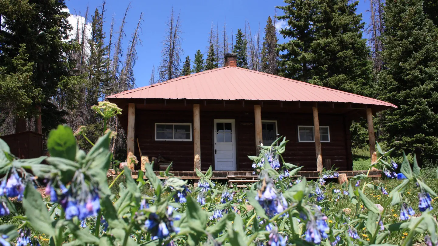 Little Brooklyn Lake GuardCampground · 1 sites
Overview Little Brooklyn Guard Station is located nine miles west of Centennial, Wyoming just off the Snowy Range Scenic Byway at an elevation of 10,340 feet.
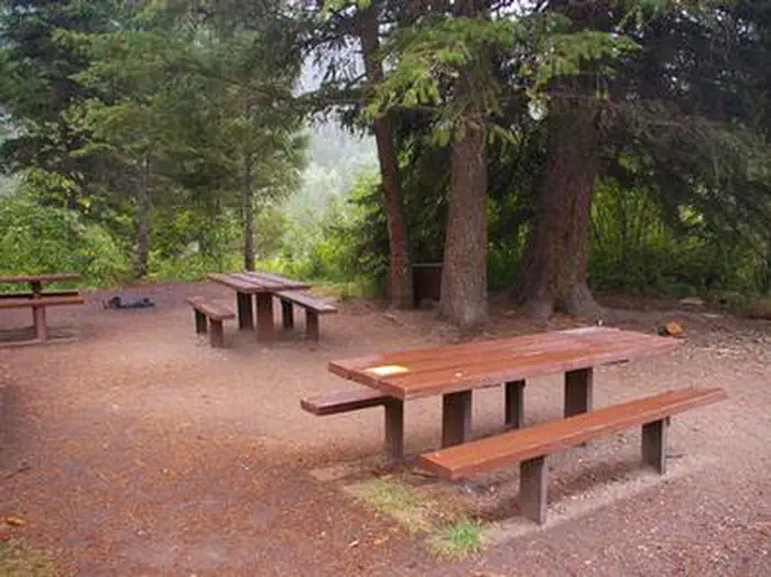 Little Cottonwood GroupCampground · 1 sites
Overview Little Cottonwood Group Campground is located in beautiful Snake River Canyon, just 30 miles southwest of Jackson, in western Wyoming.
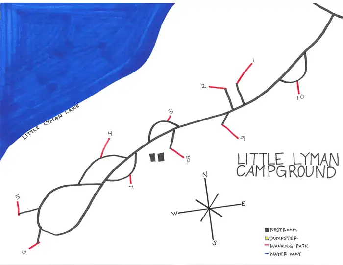 Little Lyman Lake CampgroundCampground · 10 sites
Overview Little Lyman Lake is found on the shore of its namesake a short 34.6 miles south of Mountain View, Wyoming.
- Little Sandy CrossingFacility · not watchable
A pivotal stop along the California, Mormon Pioneer and Pony Express overland routes, this site is discussed in numerous emigrant diaries and was also a stage…
- Little Spearfish Trailhead (Trail #80)Facility · not watchable
The Little Spearfish Trail is a 6 mile loop that meanders through stands of ponderosa pine, quaking aspen, and paper birch.
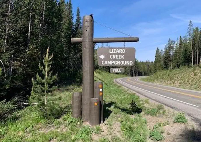 Lizard Creek CampgroundCampground · 60 sites
Overview The Lizard Creek Campground is located in the northern portion of Grand Teton National Park (GTNP) and provides a convenient basecamp for campers…
- Lodgepole CampgroundCampground · not watchable
Nestled under the pine trees of Muddy Mountain, Lodgepole Campground provides 15 camping sites that include level tent pads and fire rings, with a few…
- Lombard FerryFacility · not watchable
Lombard Ferry is one of many locations along the Green River where ferry crossings were built.
- Long Lake TrailheadFacility · not watchable
Long Lake Trailhead is only accessible via boat and the trail is not maintained, but provides access to Long Lake and the Bridger Wilderness.
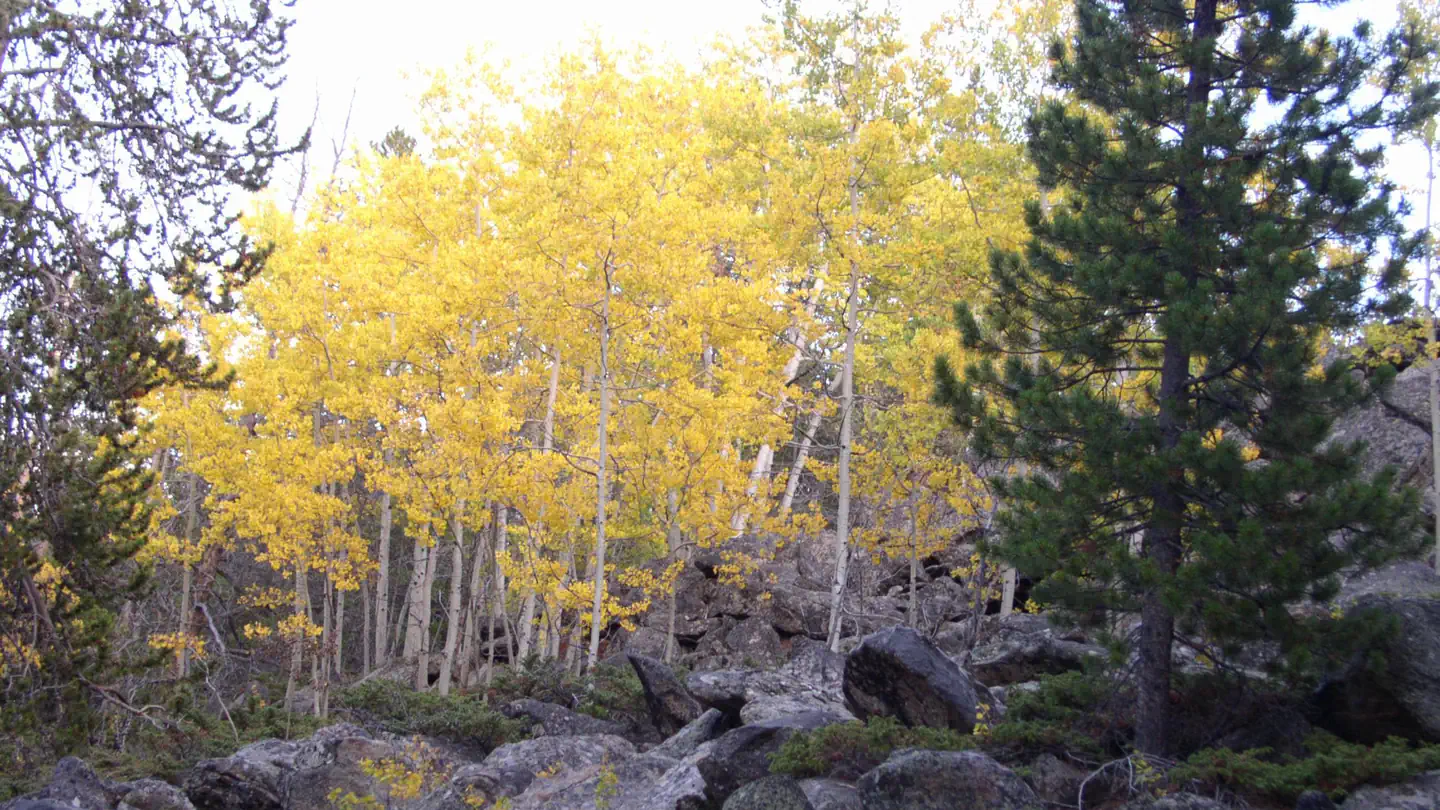 Lost Cabin CampgroundCampground · 19 sites
Overview Lost Cabin Campground is located 29 miles west of Buffalo, Wyoming on the east side of scenic Cloud Peak Skyway, near the Cloud Peak Wilderness Area.
- Lunch Counter/Kahuna OverlookFacility · not watchable
The Lunch Counter/Kahuna Overlook day use area provides parking for those who wish to watch and photograph river floaters going through the famous Lunch…
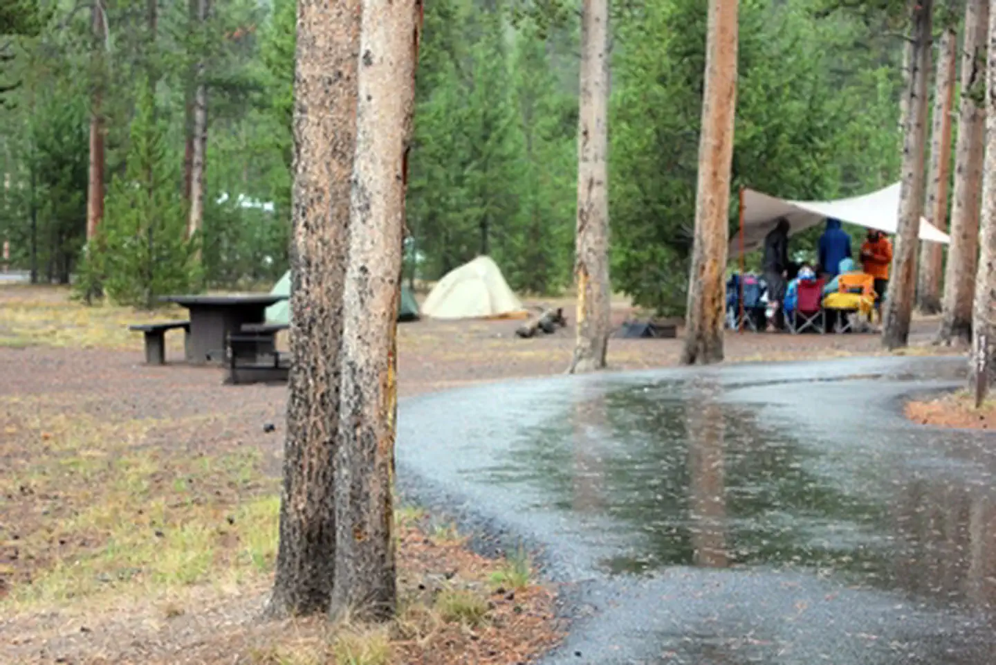 Madison CampgroundFacility · not watchable
Madison Campground—elevation 6,800 feet (2073 m)—sits about 14 miles east from the town of West Yellowstone and 16 miles north of Old Faithful.
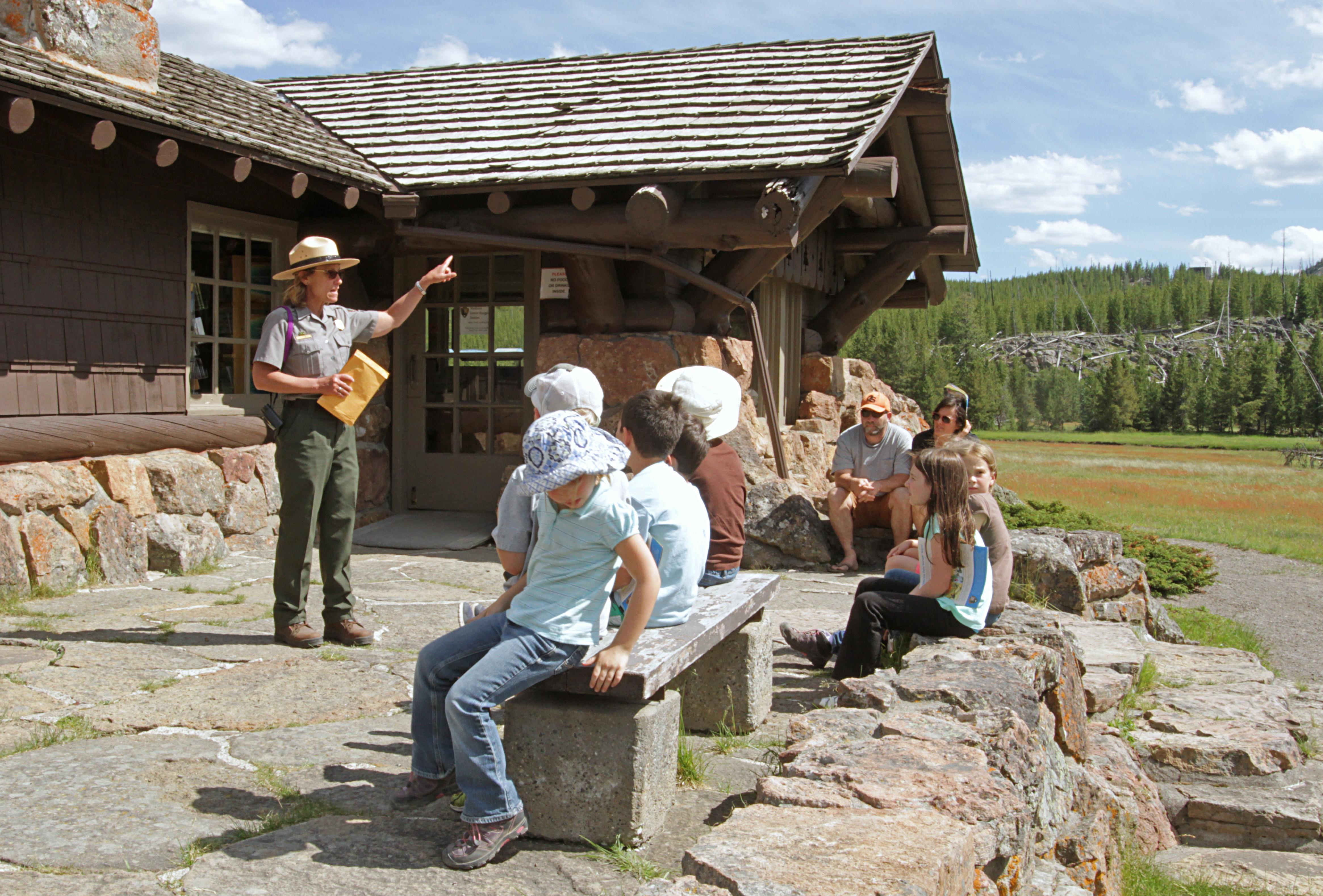 Madison Information Station and Trailside MuseumFacility · not watchable
Located about halfway between Old Faithful and West Yellowstone, you can stop here for park information as visitors have been doing since 1930.
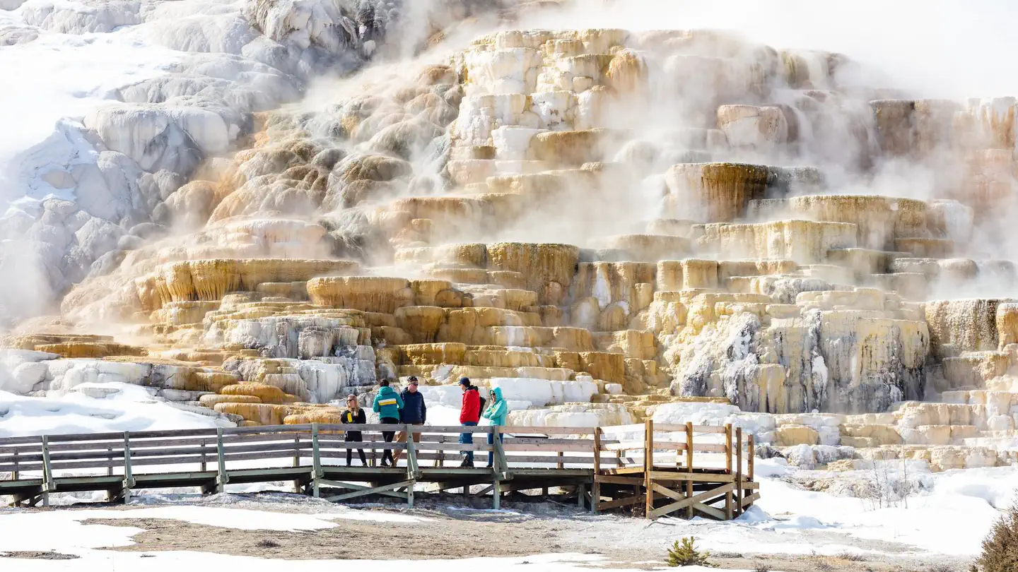 Mammoth Campground (Yellowstone)Campground · 81 sites
Overview Starting Tuesday April 15th, the Mammoth Campground is open and reservations are required.
- Martin's CoveFacility · not watchable
This site is managed in partnership with the LDS Church who is the primary land owner at the site. Obey all signs and information.
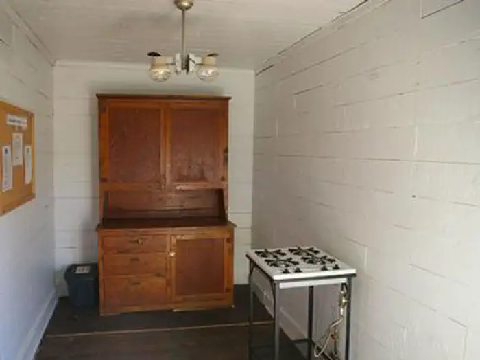 McCain CabinCampground · 1 sites
Overview McCain Guard Station is a rustic cabin that is popular year-round. In summer, hikers and horseback riders frequent the cabin, and snowmobile…
- Meadow Lake Boating SiteFacility · not watchable
This is an undeveloped boat ramp, no pavement, suitable for small watercraft only. No dock is available and a single vault toilet is onsite.
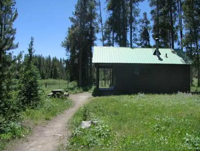 Meadows CabinCampground · 1 sites
Overview The historic Meadows Guard Station is a quiet hideaway beneath tall pines, where deer graze in the open meadow pasture nearby.
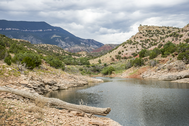 Medicine Creek CampgroundCampground · not watchable
Medicine Creek campground is a boat-in or hike-in only campground. It is approximately 3 miles north of Barry's Landing by land or water.
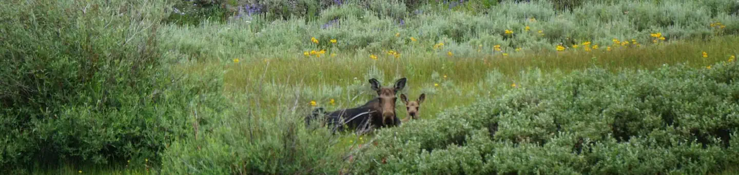 Meeks Cabin CampgroundCampground · 23 sites
Overview Meeks Cabin Campground is on the banks of Meeks Cabin Reservoir at an 8,700 foot elevation.
- Merritt SystemFacility · not watchable
The Merritt Trail System is a 41 mile mix of motorcycle, jeep and OHV trails, located west of Highway 385, south of Rochford Road, and north of Silver City…
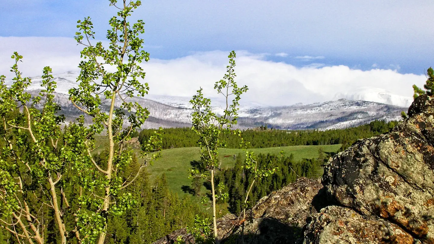 Middle ForkCampground · 9 sites
Overview Middle Fork Campground is located 14 miles west of Buffalo, Wyoming, adjacent to the Cloud Peak Skyway (scenic byway), near the Cloud Peak Wilderness…
- Middle Fork of the Powder River CampgroundCampground · not watchable
Astride a blue-ribbon trout stream, this remote and picturesque campground features five camping sites with fire rings, restroom and drinking water.
- Miner's Cabin TrailheadFacility · not watchable
The Miners Cabin Trailhead provides access to the Miners Cabin Trail on the Snowy Range Scenic Byway.
- Mirror Lake Picnic & Fishing SiteFacility · not watchable
Mirror Lake is a popular picnic and fishing stop on the Snowy Range Highway. The site offers 15 picnic tables with scenic views near the base of Medicine Bow…
- Monument Ridge TrailheadFacility · not watchable
The Monument Ridge Trailhead is right off Highway 189/191 just south of the Hoback Guard Station.
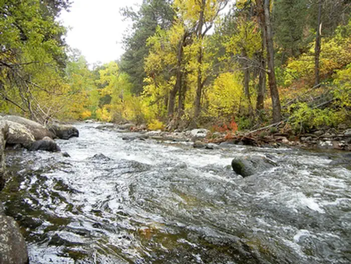 Mosier GulchFacility · not watchable
Mosier Gulch Picnic Area is managed by the Bureau of Land Management and the City of Buffalo and is adjacent to the Bighorn National Forest, managed by the…
 Muddy Guard CabinCampground · 1 sites
Overview Muddy Guard Cabin dates back to the late 1930s and offers views of wildflower-topped meadows and snow-capped mountains.
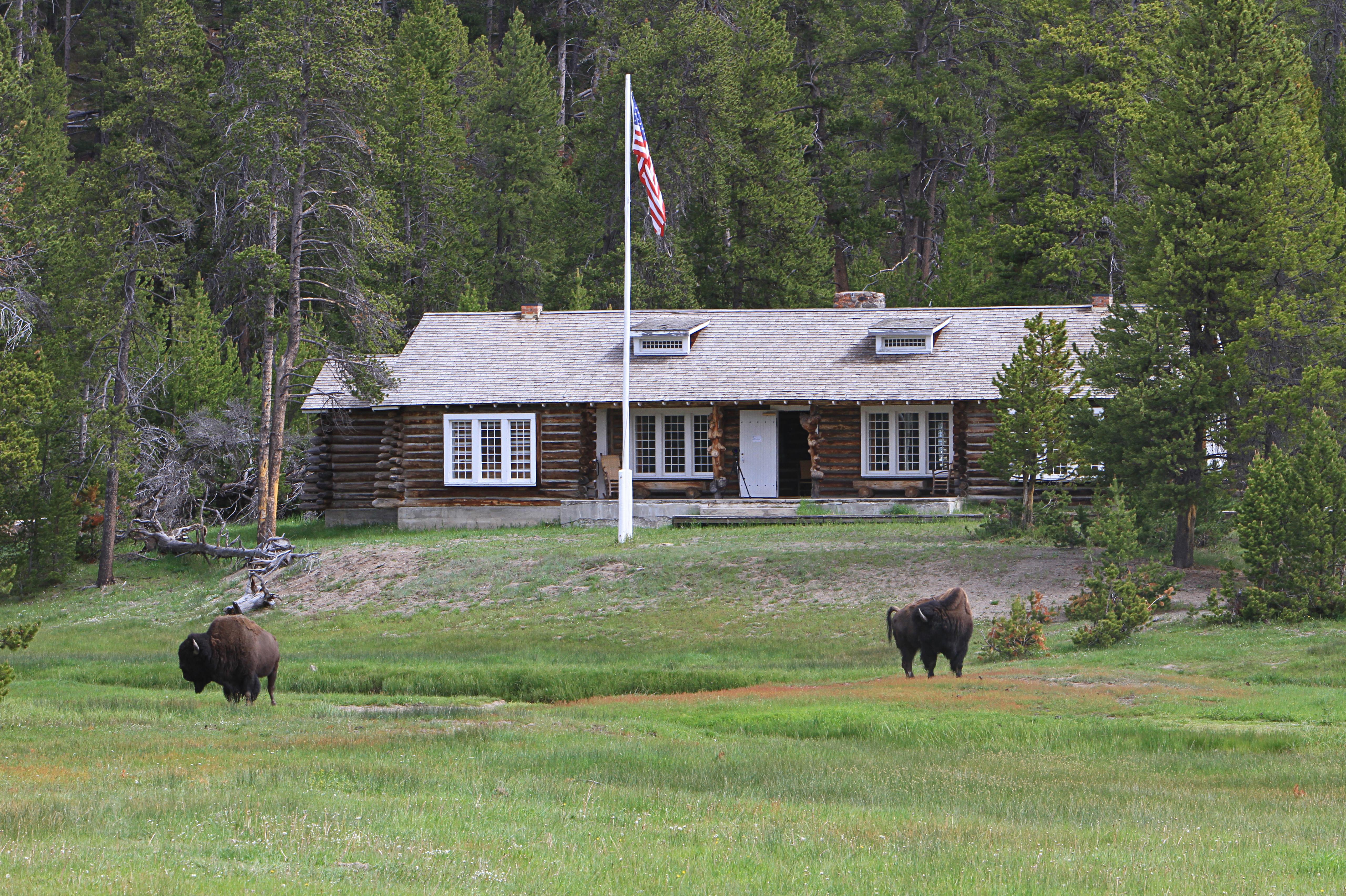 Museum of the National Park RangerFacility · not watchable
Once a US Army outpost built in 1908, this visitor center houses exhibits that celebrate the history of the park ranger profession.
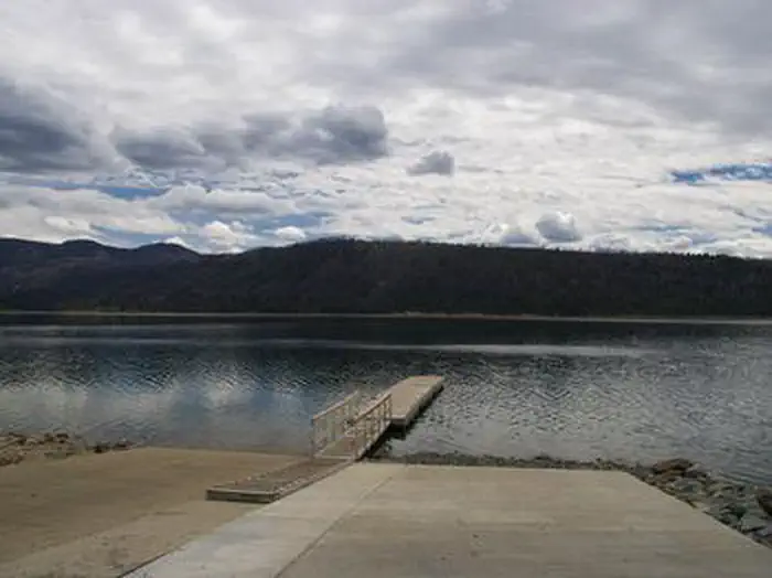 Narrows CampgroundCampground · 19 sites
Overview Narrows Campground is located next to scenic New Fork Lake, at the edge of the Wind River Range in northwestern Wyoming.
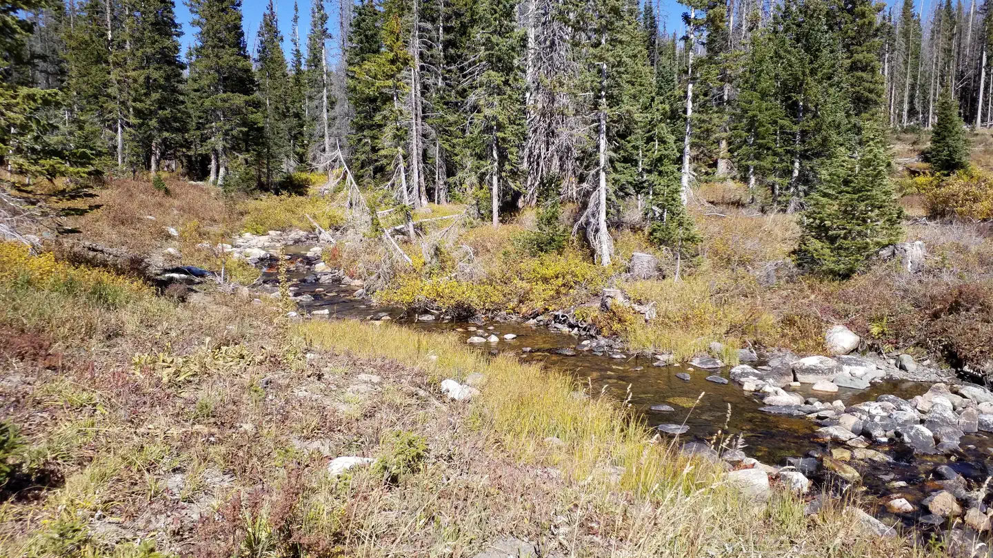 Nash ForkCampground · 24 sites
Overview This campground was decommissioned for 10 years due to pine beetle infestation.
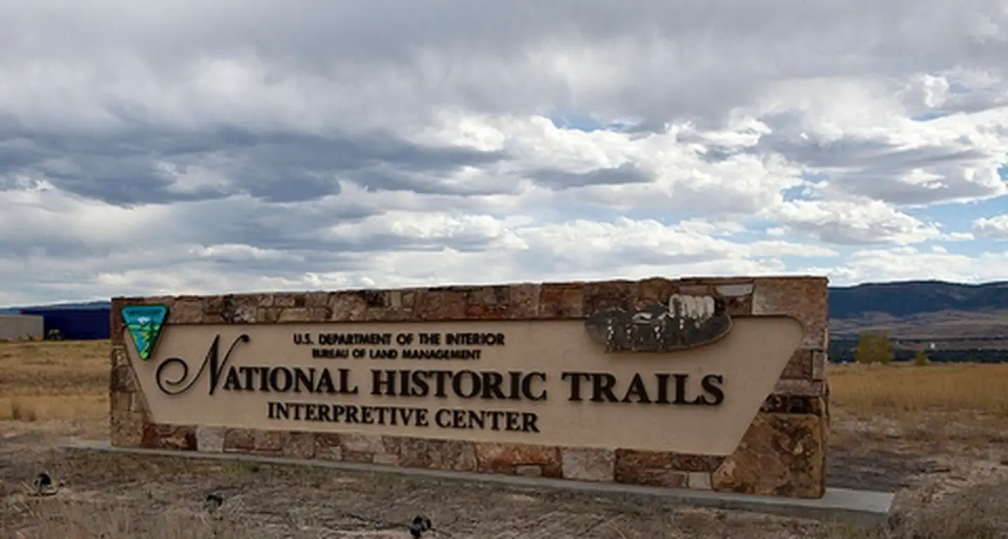 National Historic Trails Interpretive CenterFacility · not watchable
The National Historic Trails Interpretive Center is a cooperative partnership between BLM, the National Historic Trails Center Foundation, and the City of…
 New Fork CampgroundCampground · not watchable
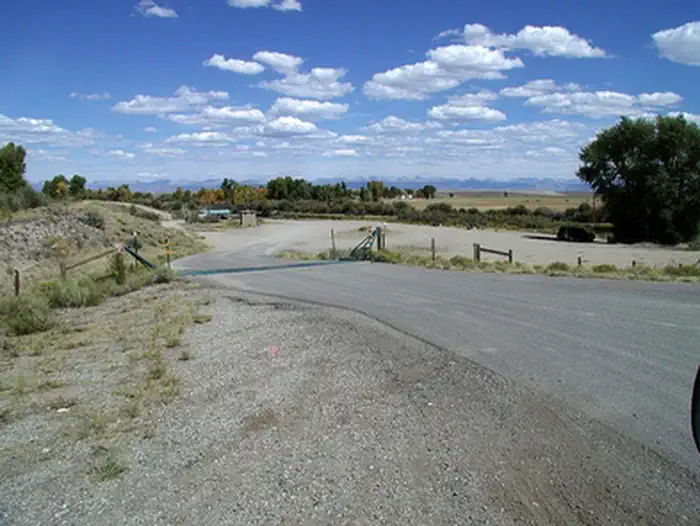
The New Fork Campground at 6,800 feet is located adjacent to the beautiful New Fork River. This site provides a put in-takeout point for river float trips.
 New Fork Lake Group CampgroundCampground · 1 sites
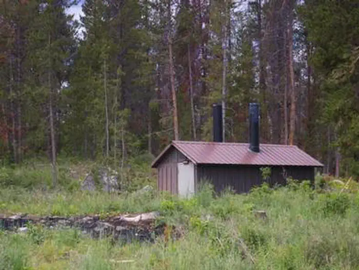
Overview Located just 24 miles north of Pinedale, New Fork Group Campground includes large picnic tables, BBQ stands, a fire ring, and a double vault toilet…
- Newton Creek CampgroundCampground · not watchable
This campground hosts 31 sites near the Shoshone River. Nearby points of interest include Mummy Cave and a memorial to firefighters who died in the 1937…
- Newton SystemFacility · not watchable
The Newton Trail System is just west of Hill City about 5 miles nestled between Deerfield Road and Reno Gulch Road.
 Norris Geyser Basin Museum and Information StationFacility · not watchable
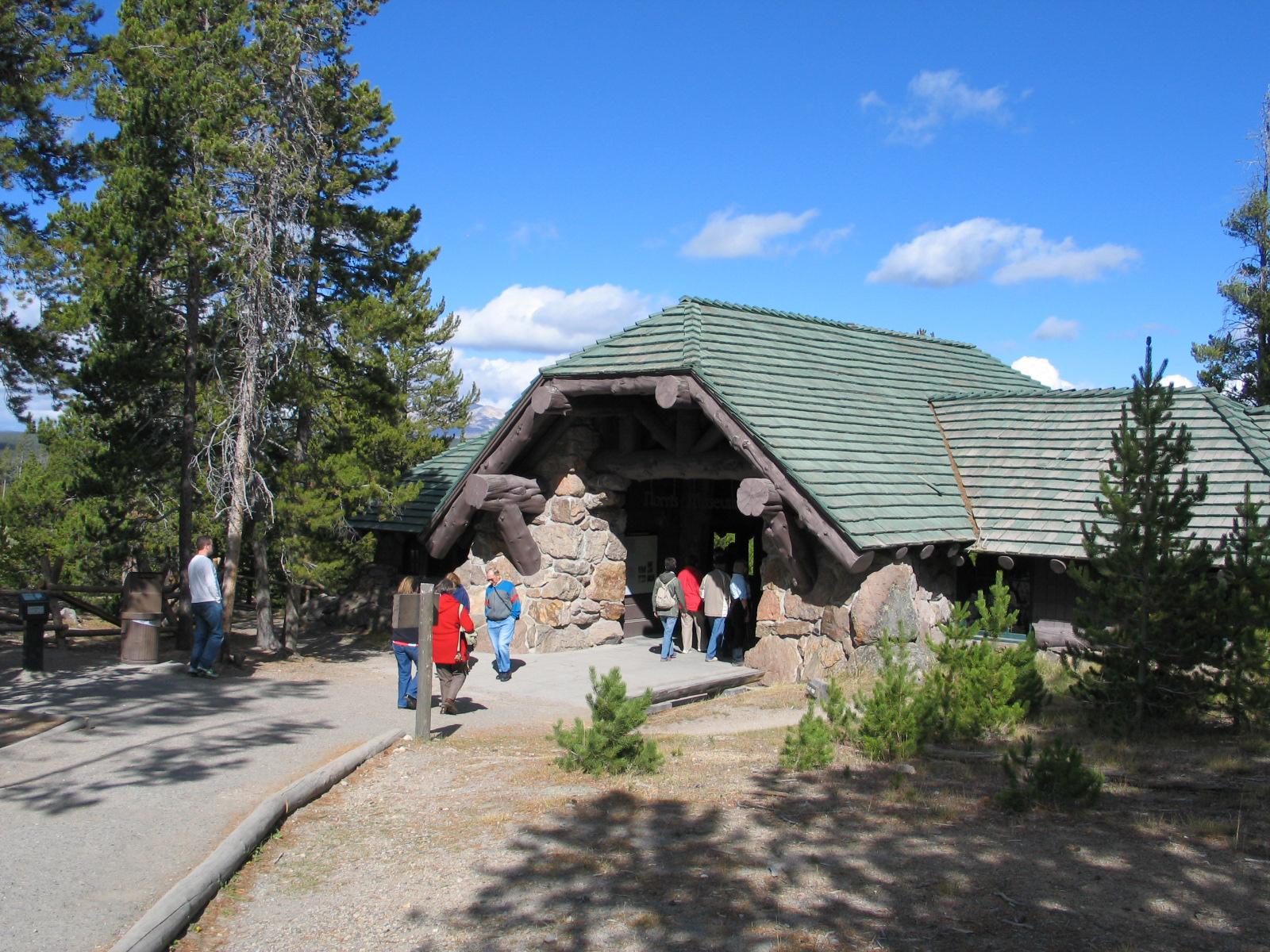
Situated on the ridge overlooking the Norris Geyser Basin, this historic building is staffed during the summer with rangers who provide park information and…
 North Fork (Wy)Campground · 58 sites
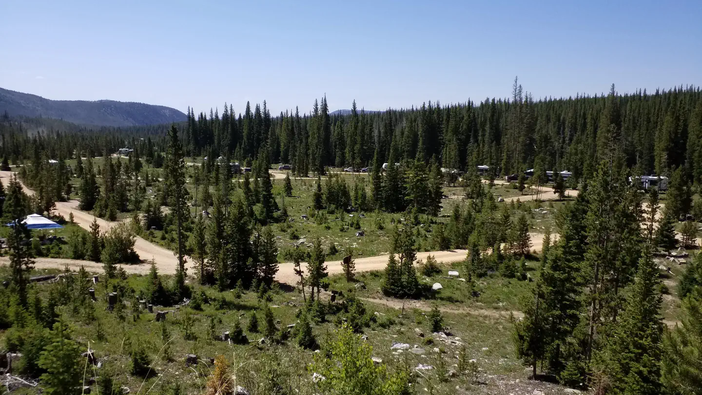
Overview This is a large, RV-friendly campground. The sound of the North Fork of the Little Laramie River can be heard throughout most of the campground.
- North Fork Shoshone R AccessFacility · not watchable
The North Fork Shoshone River Access consists of a constructed a boat ramp to be used as a put in/take out for river users enjoying the North Fork Shoshone…
- North Table Rock Camping AreaFacility · not watchable
This camping area used by large recreation vehicles to serve as a base camp for OHV use in the Killpecker Sand Dunes Open Play Area.
 North TongueCampground · 11 sites
Overview North Tongue Campground is located just off the Bighorn Scenic Byway (U.S. Highway 14) near the Burgess Junction at an elevation of 8,400 feet.
- Northern Hills-SpearfishFacility · not watchable
The Northern Hills Ranger District covers the northern portion of the Black Hills on the South Dakota side.
- Northwestern Hills - SundanceFacility · not watchable
Bearlodge Ranger District (Northwestern Hills) encompasses the northern portion of the Black Hills on the Wyoming side.In the immediate vicinity is trout…
- Ogden Creek TrailheadFacility · not watchable
The Ogden Creek Motorized Trailhead provides access to four OHV trails southeast of Warren Peak.
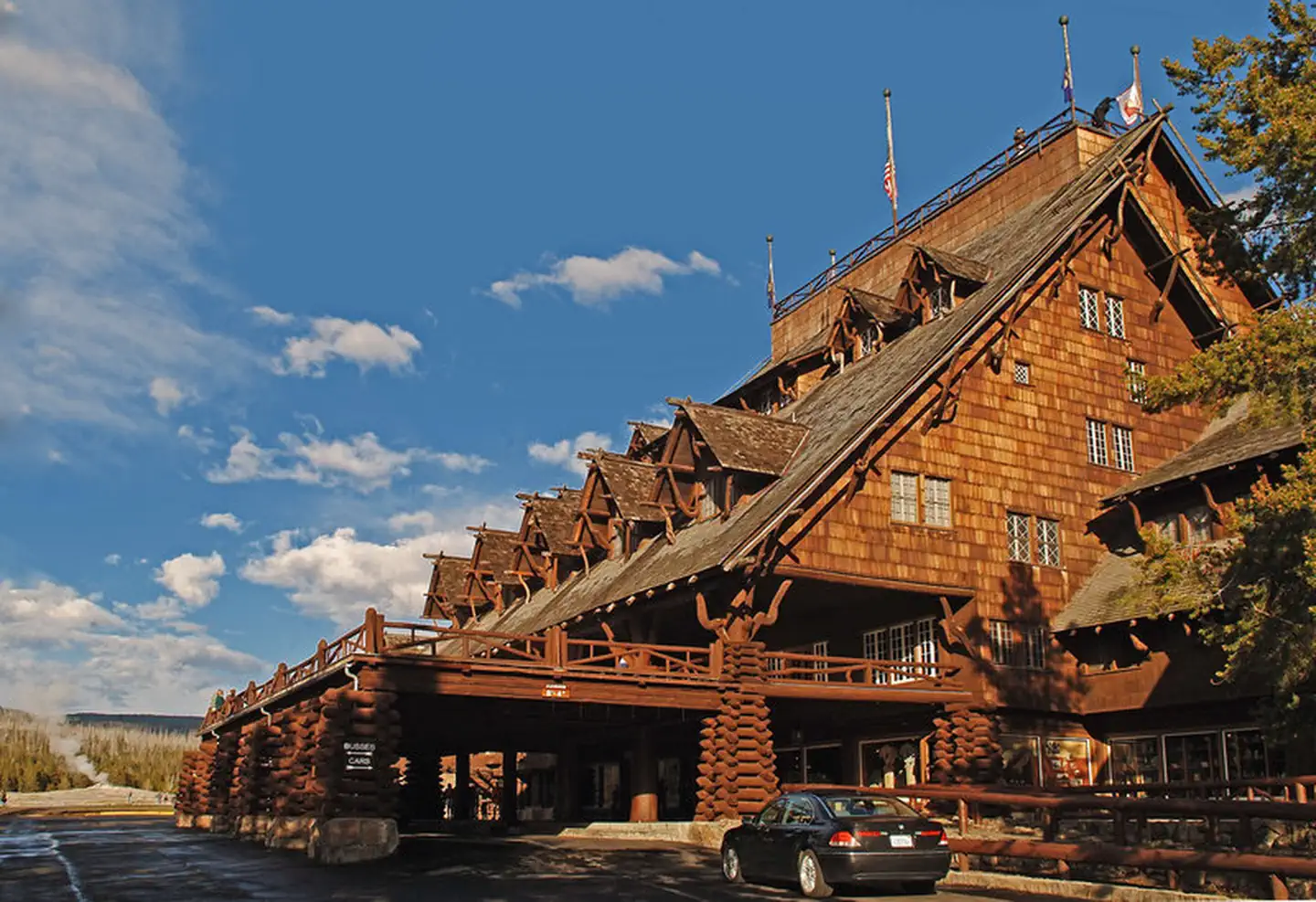 Old Faithful InnFacility · not watchable
The Old Faithful Inn, built in 1903 and a member of Historic Hotels of America® since 2012 was designated by the U.S.
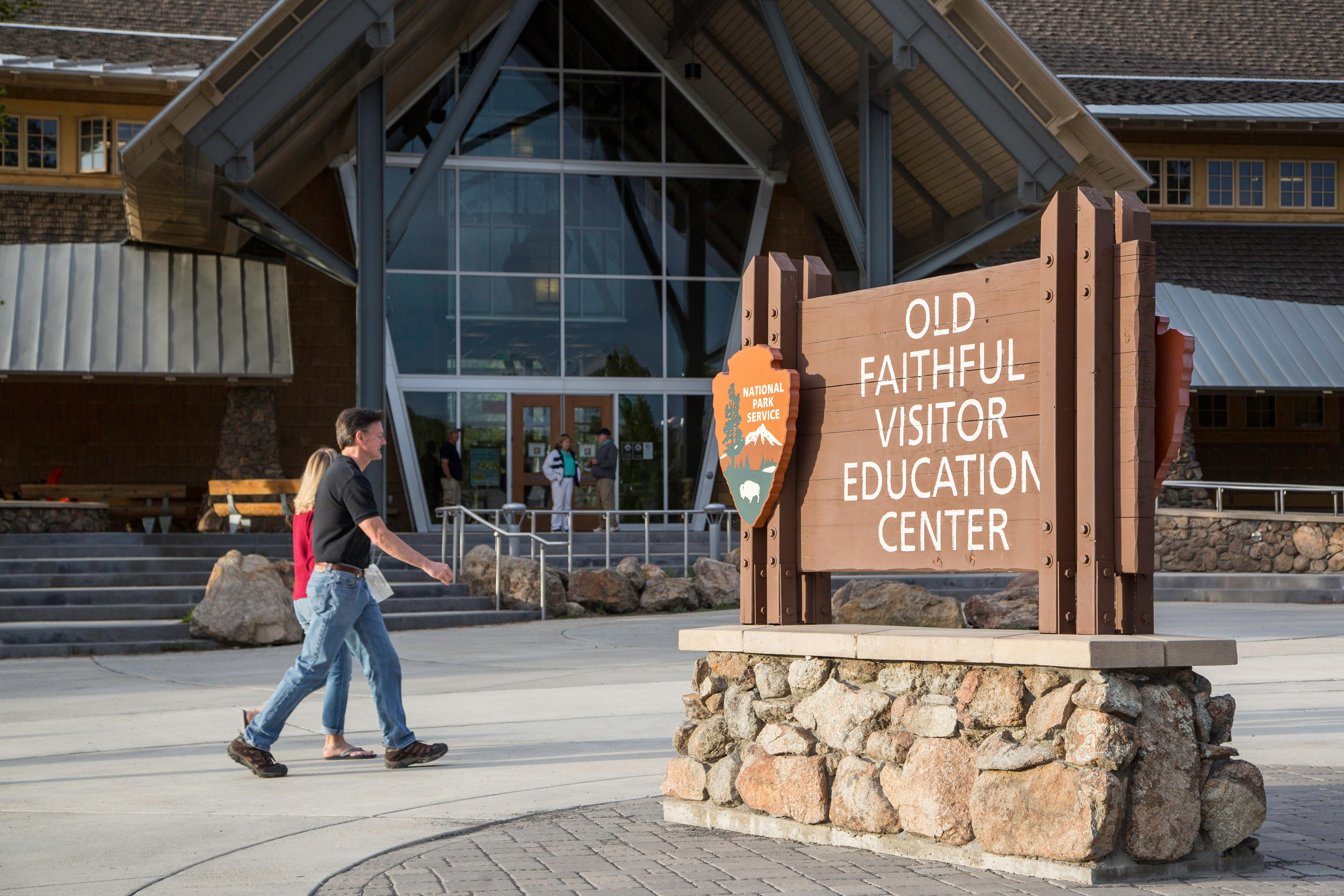 Old Faithful Visitor Education CenterFacility · not watchable
Located near Old Faithful Geyser, this visitor center offers views of the geyser's eruption from the tall, windowed front of the visitor center.
- Oregon ButtesFacility · not watchable
The Oregon Buttes interpretive site is located at the intersection of County Road 10-446 and the National Historic Trail.
- Oregon Buttes WSAFacility · not watchable
The Oregon Buttes WSA encompasses 5,700 acres of BLM-administered land with no private or state inholdings.
- Osprey Trailhead (Trail #58)Facility · not watchable
Osprey Trail Brochure A 2.2 mile trail that includes two loop trails and a spur trail to an overlook.
- Overland School Interp SiteFacility · not watchable
The Overland Stage Trail crosses southern Wyoming. Stage stops were developed every 10 miles and passengers were allowed 25 pounds of baggage.
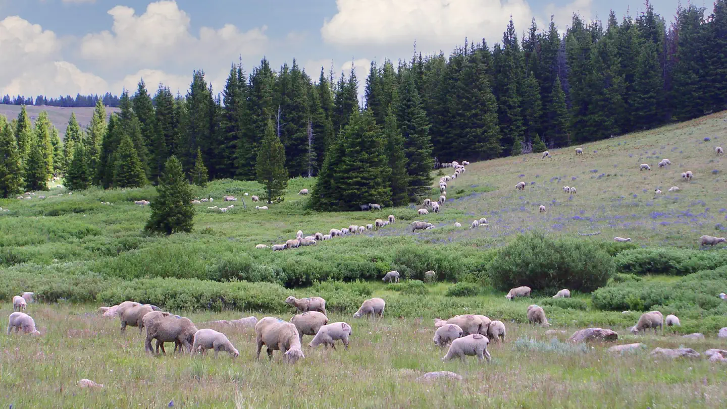 Owen CreekCampground · 7 sites
Overview Owen Creek Campground is located along the Bighorn Scenic Byway (U.S. Highway 14) near the Burgess Overlook and Woodrock areas at an elevation of…
- Pacific Creek Interp SiteFacility · not watchable
This abandoned homestead was actually constructed on partly on land that was later owned by the homesteader, and partially on land that was later identified as…
- Pack Stock Staging AreaFacility · not watchable
The Scab Creek Pack Stock Staging Area, located within the Scab Creek Recreation Area, provides access to the Scab Lake and Scab Creek trails for those wishing…
- Pactola South Boat LaunchFacility · not watchable
Pactola South Boat Launch is 1 of 2 boat ramps available at Pactola Reservoir. Non-motorized and motorized boating activities, including boat fishing is very…
- Palmer Creek Trailhead (Lost Cabin #2)Facility · not watchable
One of two National Recreation Trails in the Black Hills, the Palmer Creek Trail (Lost Cabin #2), starts with a steep climb to the Wilderness boundary.
- Parks Ranger DistrictFacility · not watchable
The Parks Ranger District is nestled into the Northwest Central Mountains of Colorado, bordered on the north by Wyoming, the Medicine Bow Mountains and the…
- Pearson Creek TrailheadFacility · not watchable
A scattering of parking spots are available on short loop spurs. The trail starts with a ford across the Greys River on the south side of Moose Flat…
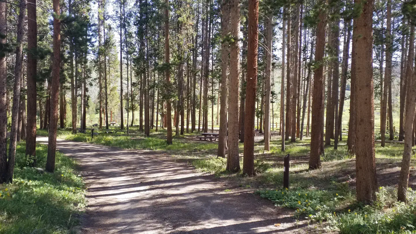 Pelton CreekCampground · 14 sites
Overview The campground is at the eastern edge of the Platte River Wilderness, and has 14 sites.
 Pete's Draw CampgroundCampground · not watchable
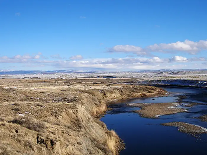
Pete's Draw has both a day-use and overnight camping area to enjoy hiking, wildlife viewing, picnicking, fishing, boating and camping.
- Pilot Butte OverlookFacility · not watchable
One of the stops along the National Historic Trail Auto Tour Route, the Pilot Butte overlook includes seven interpretive panels focusing attention on those…
- Pilot Knob TrailheadFacility · not watchable
Pilot Knob trailhead is located on Forest Service Road 208. Traveling north, it provides motorized access to the Centennial Trail and traveling south it…
 Pine Campground (WY)Campground · 7 sites
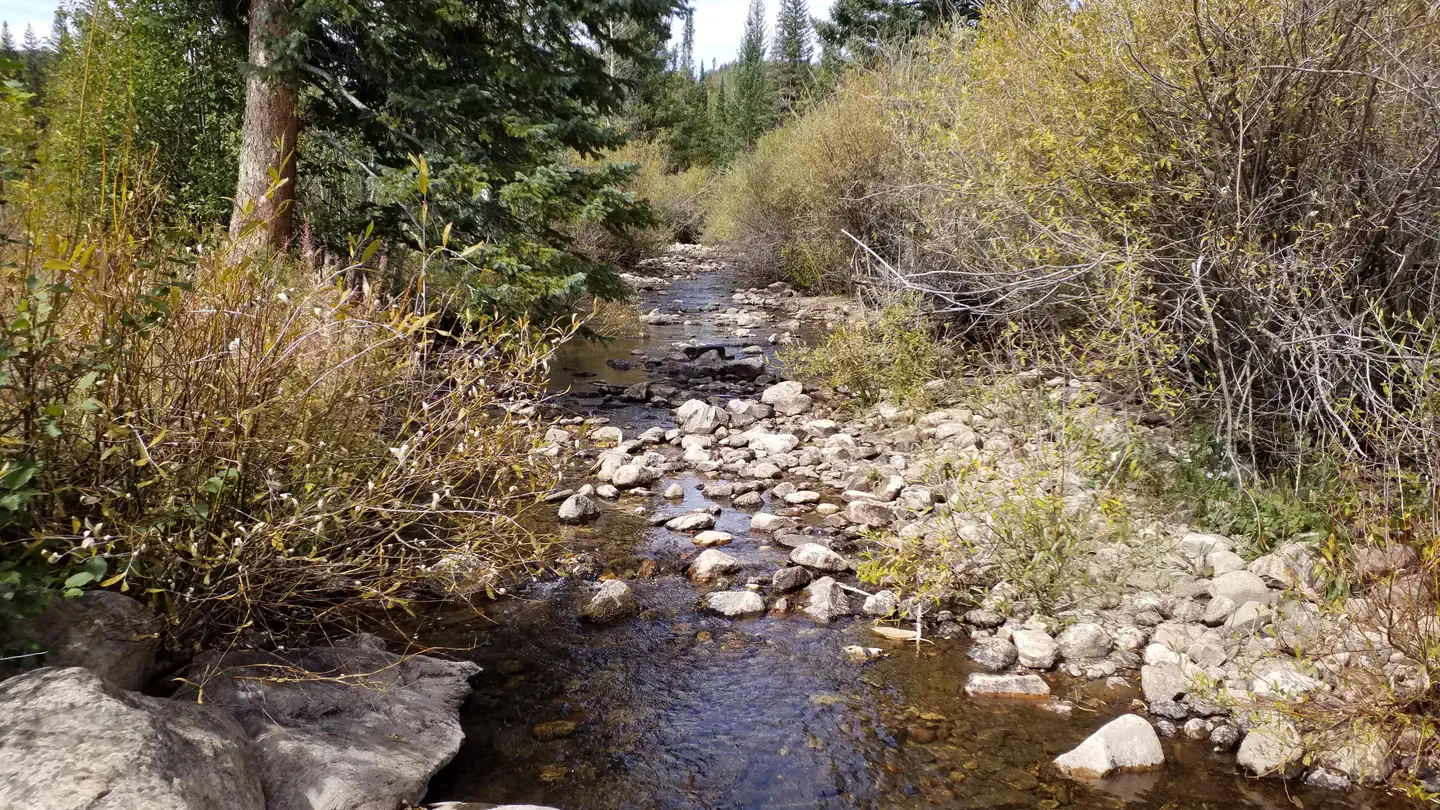
Overview Located off the Snowy Range Scenic Byway in the Libby Creek Recreation Area, Pine Campground sits along the banks of Libby Creek.
 Pine Island Group AreaCampground · 1 sites
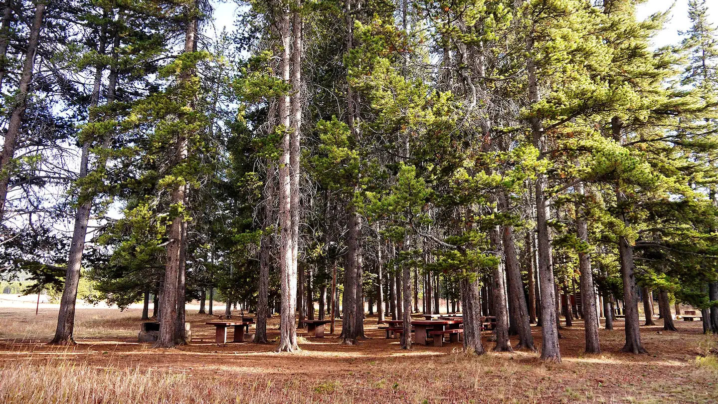
Overview Pine Island Group Area is located along the Bighorn Scenic Byway (U.S. Highway 14) near the Burgess Junction at an elevation of 8,400 feet.
- Pinedale Ranger DistrictFacility · not watchable
Bridger Wilderness Area Information Pinedale Ranger District Outfitter & Guides Pinedale "Things to See and Do" Highlighting the Green River Lakes and…
- Pinnacles CampgroundCampground · not watchable
This campground hosts 21 campsites with dramatic views near Brooks Lake. Angling and flyfishing opportunities are nearby, with a boat ramp at Brooks Lake.
- Point of Rocks CemeteryFacility · not watchable
A 'swing station' along the Overland Stage Trail, the Almond Stage Station near Point of Rocks includes this cemetery where the remains of seven unlucky…
 Poison Creek TrailFacility · not watchable
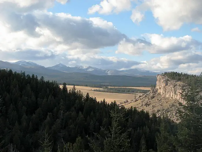
The two mile long Poison Creek Trail ambles through mountain meadows before descending steeply to Poison Creek.
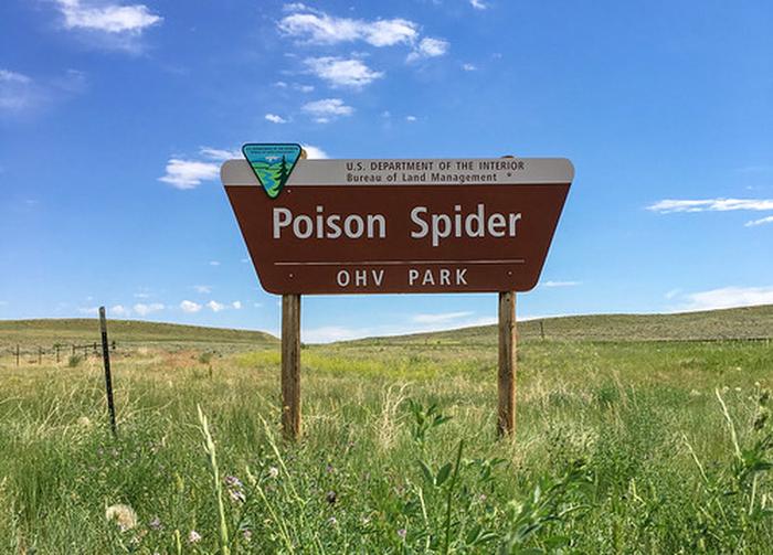 Poison Spider OHV ParkFacility · not watchable
Poison Spider Off-Road Vehicle Park is a 284-acre open OHV play area located on the site of a former bentonite mine near Casper.
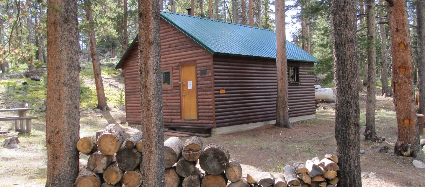 Pole Creek CabinCampground · 1 sites
Overview Pole Creek Cabin is unique in not only its quiet end-of-the-road location, but that it is also located along both a winter snowmobile trail and within…
 Porcupine Campground (Wy)Campground · 15 sites
Overview Porcupine Campground is located along the Medicine Wheel Passage Scenic Byway (U.S. Highway 14A), 33 miles east of Lovell, Wyoming.
- Powder River Interpretive SiteFacility · not watchable
Powder River Interpretive Site sits along the Cloud Peak Skyway. Stop and read the interpretive signs and view the beautiful scenery.
- Prior Flat CampgroundCampground · not watchable
The Prior Flat Campground has 15 campsites and a vault toilet on about 9 acres. It has one pull-through, picnic tables, fire rings/grills and parking spurs. …
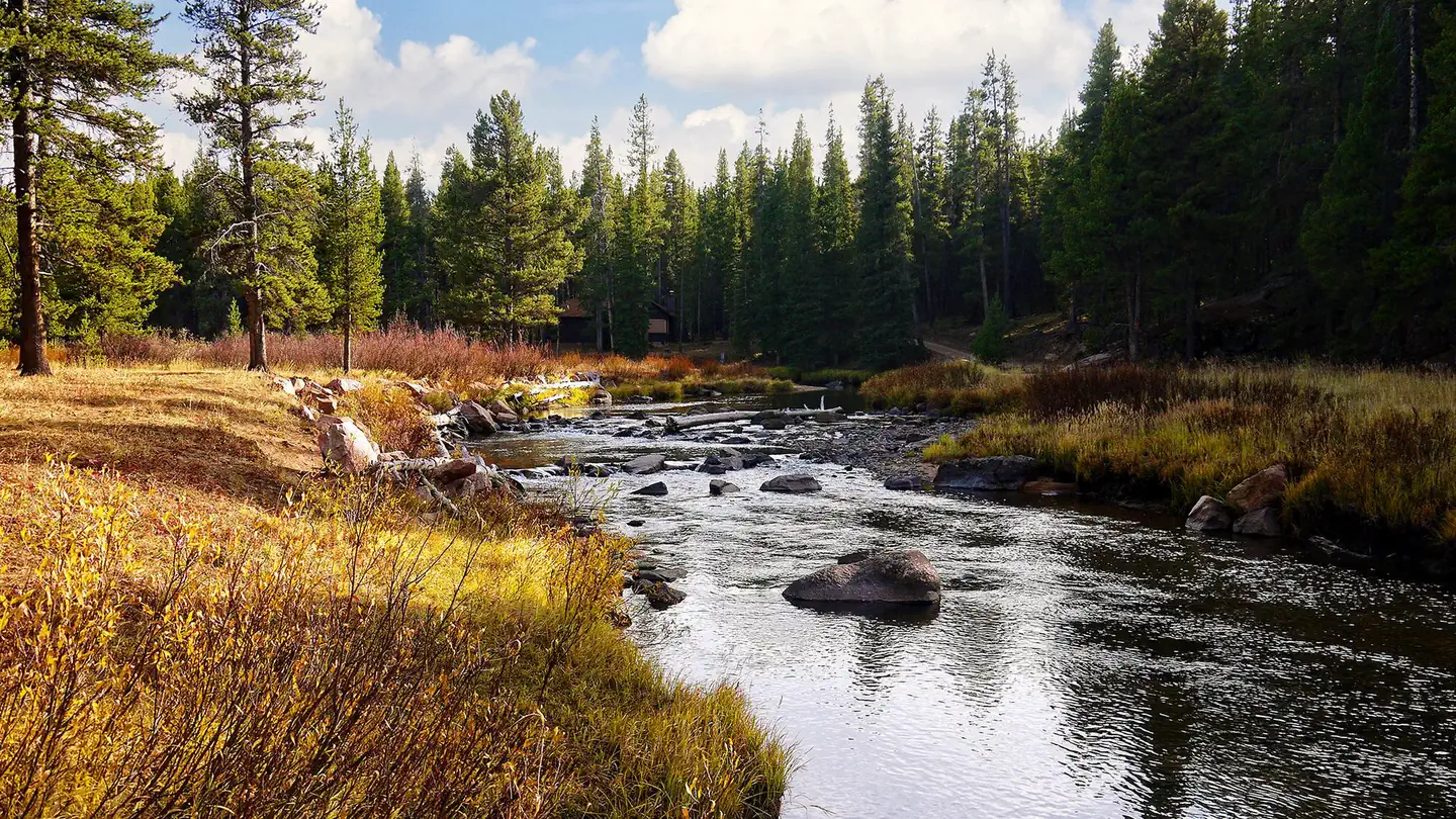 Prune CreekCampground · 20 sites
Overview Prune Creek Campground is located along the Bighorn Scenic Byway (U.S. Highway 14) near the Burgess Junction at an elevation of 7,700 feet.
- Purgatory Gulch TrailheadFacility · not watchable
The Purgatory Gulch Trailhead provides access to the Encampment River Trail and Encampment River Wilderness. High clearance 4WD vehicles are recommended and…
- Quealy Lake TrailheadFacility · not watchable
The Quealy Lake Trailhead provides access to the Quealy Lake and Sheep Lake Trails in the high country of the Snowy Range.
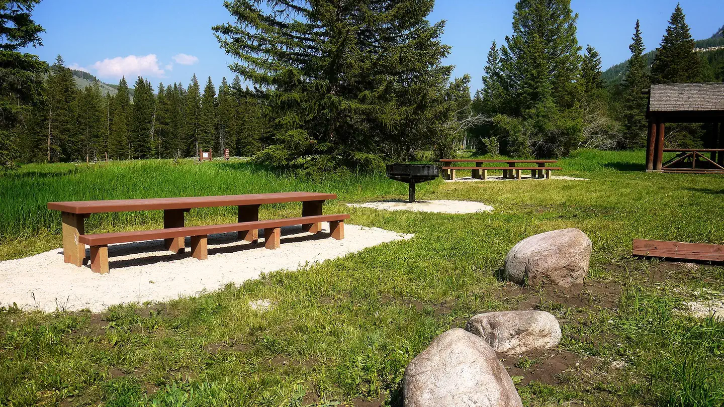 Ranger Creek Recreation AreaCampground · 12 sites
Overview Ranger Creek Group Campground is located just off the Bighorn Scenic Byway (U.S. Highway 14) at an elevation of 7,500 feet.
- Red Creek Badlands WSAFacility · not watchable
The Red Creek Badlands WSA encompasses 8,020 acres of BLM-administered land and 640 acres of state land.
 Red Gulch Dinosaur TracksiteFacility · not watchable
At BLM's Red Gulch Dinosaur Tracksite, you can imagine walking along an ocean shoreline 167 million years ago with dozens of dinosaurs, who were looking to…
- Red Lake TrailheadFacility · not watchable
The Forest Service designed Red Lake Trailhead for a family experience. The OHV trails travel across old logging roads and through scenic Aspen groves that are…
- Red Lake WSAFacility · not watchable
The Red Lake WSA encompasses 9,515 acres of BLM-administered land with no private or state inholdings.
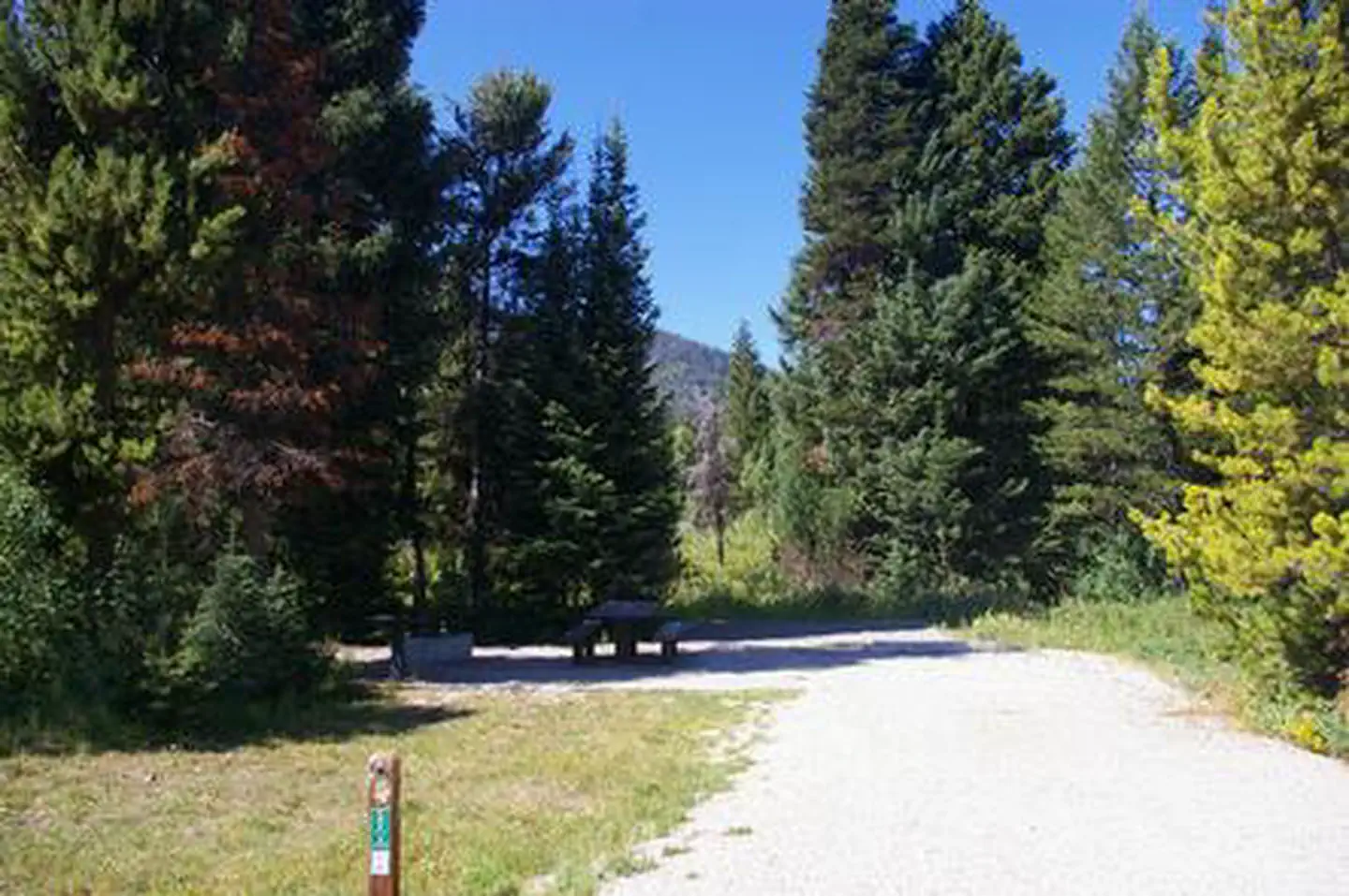 Reunion FlatCampground · 8 sites
Overview Reunion Flat Campground is located in beautiful Teton Canyon in the Caribou-Targhee National Forest.
- Reuter TrailheadFacility · not watchable
Reuter Motorized Trailhead provides access to a large variety of recreation activities.
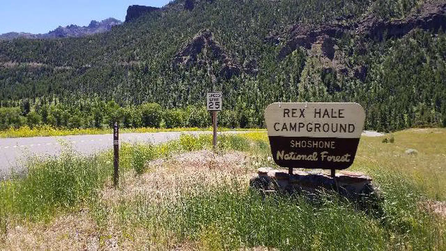 Rex HaleCampground · 29 sites
Overview Rex Hale Campground is located along the Buffalo Bill Scenic Byway about 36 miles west of Cody, in northwestern Wyoming.
- Riley Hill TrailheadFacility · not watchable
Riley Hill Trailhead offers extensive access to a wide variety of trails from just south of Roubaix Lake Recreation Area to north of Pactola Reservoir.
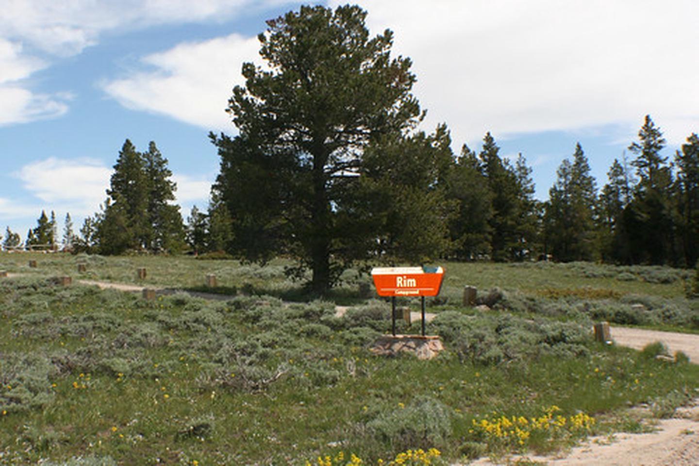 Rim CampgroundCampground · not watchable
Nestled under the pine trees of Muddy Mountain and overlooking the valley below, Rim Campground provides 8 camping sites that include level tent pads and fire…
- Rimrock Trailhead (Trail #79)Facility · not watchable
The Rimrock Trail can be accessed from the Little Spearfish Trailhead located near Timon Campground.
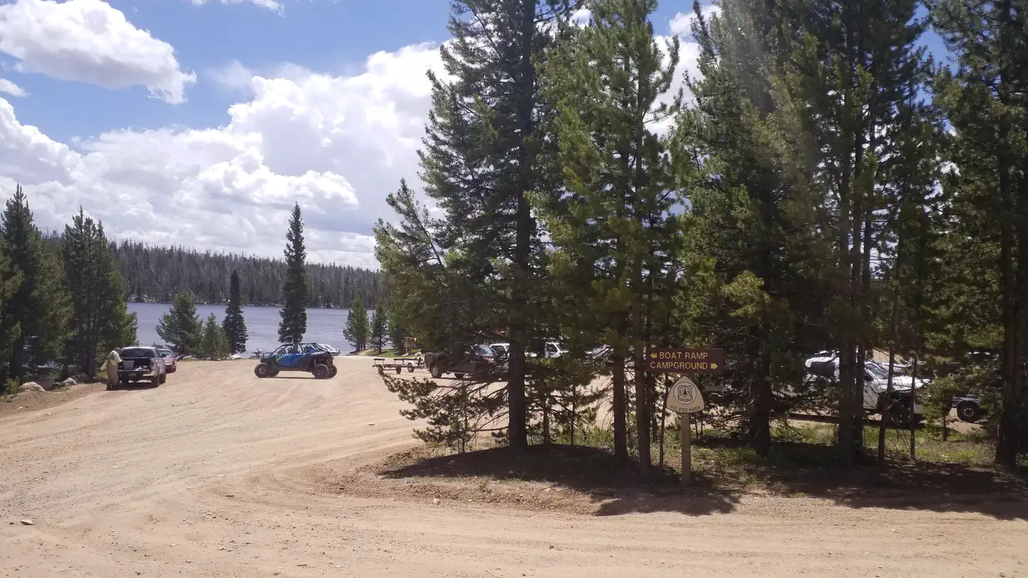 Rob Roy CampgroundCampground · 65 sites
Overview Rob Roy Campground is comprised of a cascading, tight looped configuration along a hillside among mixed pines.
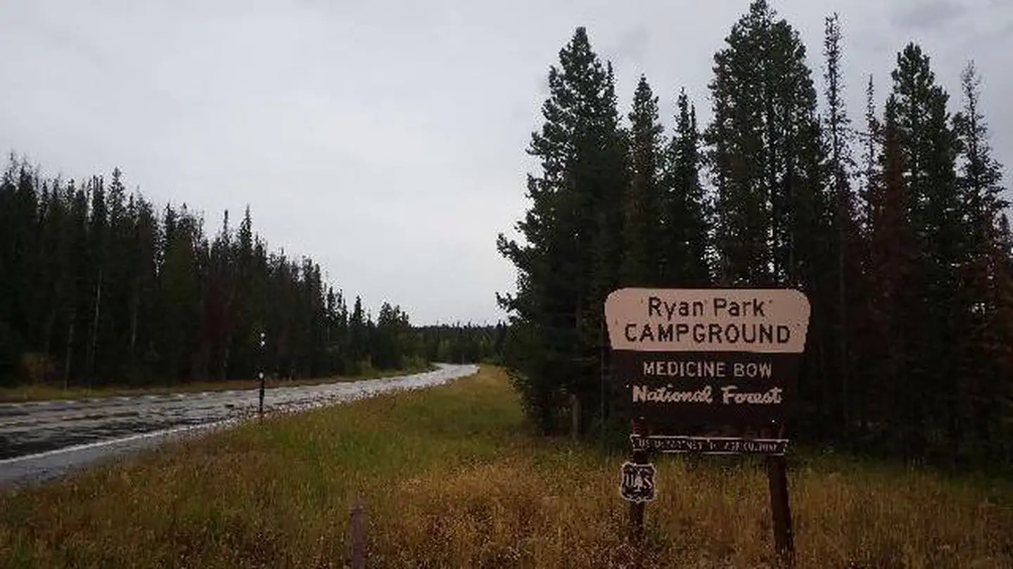 Ryan ParkCampground · 34 sites
Overview Ryan Park Campground is located at 8,009 ft elevation on the Snowy Range Scenic Byway near Saratoga, Wyoming.
 Sand Dunes WSAFacility · not watchable
The Sand Dunes WSA is located north and east of the City of Rock Springs. It encompasses 27,109 acres, including 600 acres of split estate land, 640 acres of…
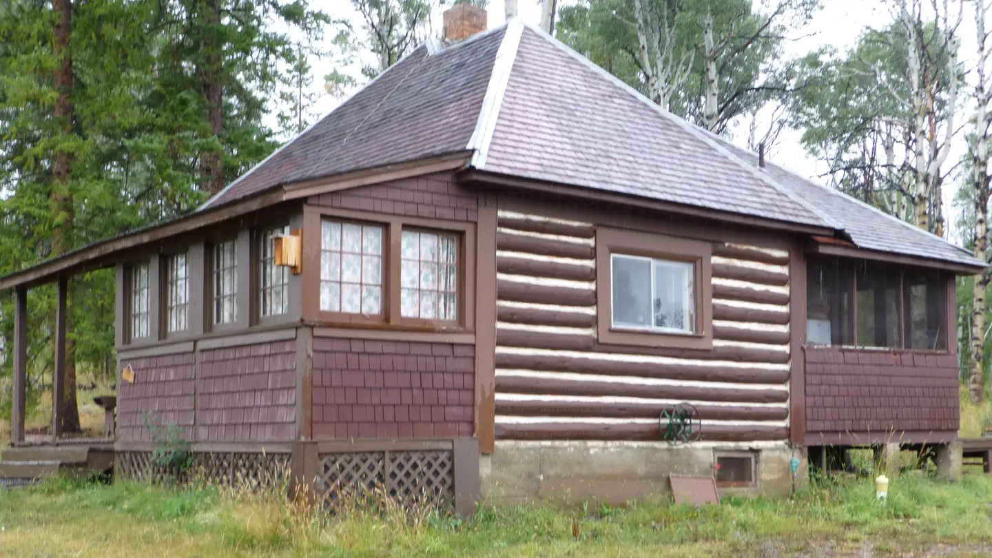 Sandstone CabinCampground · 1 sites
Overview Sandstone Cabin is located beside State Highway 70 in the Sierra Madre Range.
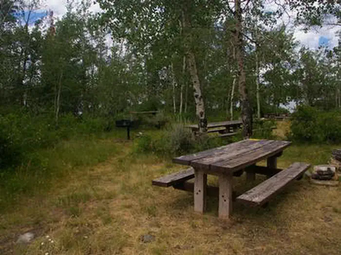 Sandy Beach Picnic AreaCampground · 1 sites
Overview Sandy Beach Picnic Area is located on the southeast shores of pristine Fremont Lake at an elevation of 7,400 feet, just 3 miles northeast of Pinedale,…
- Saratoga National Fish HatcheryFacility · not watchable
The Saratoga National Fish Hatchery was established in 1911 and has served, primarily, as an egg producing facility for most of its years of operation.
- Savage Run WildernessFacility · not watchable
Savage Run Wilderness lies within the Medicine Bow National Forest in Wyoming. It is managed by the U.S.
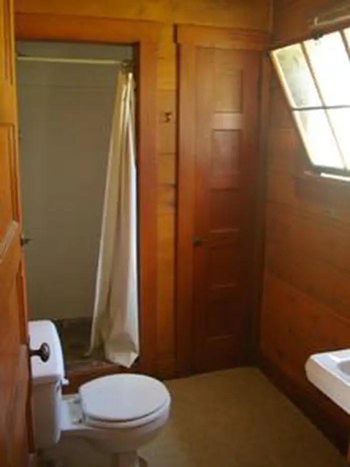 Scaler Guard StationCampground · 2 sites
Overview Historic Scaler Guard Station, located 78 miles north of Kemmerer, Wyoming, provides an excellent hideaway for cabin camping enthusiasts.
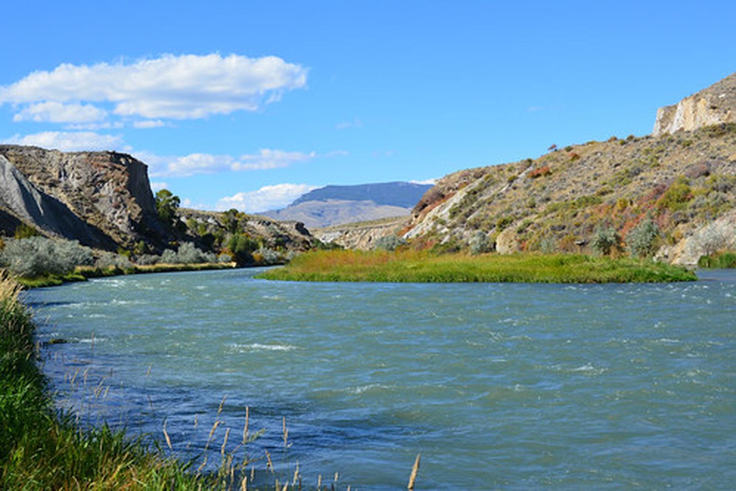 Seven MountainFacility · not watchable
Seven Mountain is a BLM parcel located within Cody, Wyoming which provides for access to the Shoshone River.
- Shadow Mountain/Ditch Creek AreaFacility · not watchable
Shadow Mountain road network- the following designated FS roads are open for motorized use between May 1 through November 31 annually.
- Sheep Lake TrailheadFacility · not watchable
The Sheep Lake Trailhead has two locations. The north Trailhead is located adjacent to Deep Creek Campground.
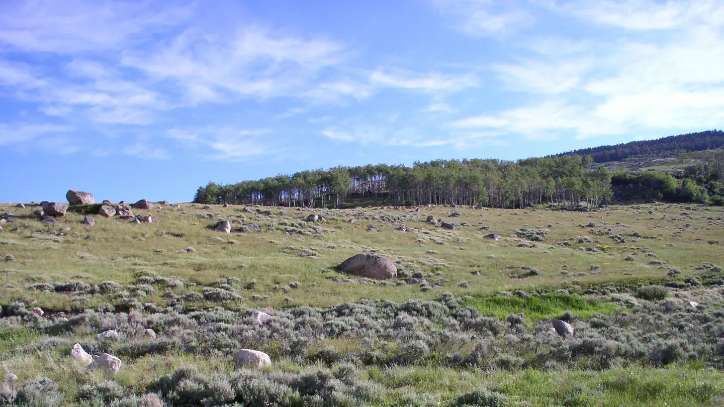 Shell CreekCampground · 14 sites
Overview Shell Creek Campground is located just off the Bighorn Scenic Byway (U.S. Highway 14) at an elevation of 7,500 feet.
- Shell Falls Interpretive SiteFacility · not watchable
This beautiful Visitor Center is a popular stop along the Bighorn Scenic Byway. Look at Shell Falls and walk along the interpretive trail. For more in depth…
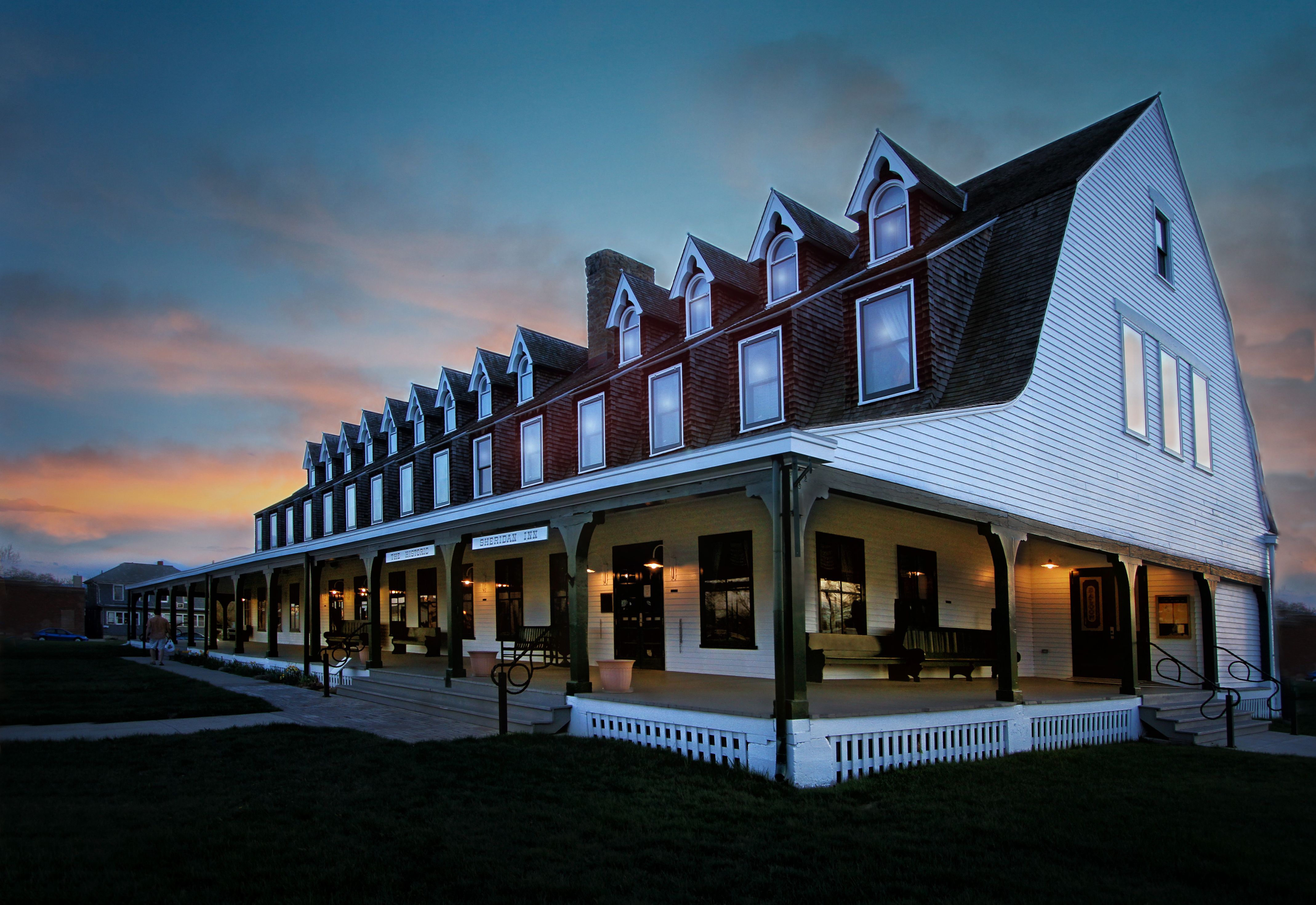 Sheridan InnFacility · not watchable
The Sheridan Inn, built in 1893 and a member of Historic Hotels of America® since 2015 was designated a National Historic Landmark by the U.S.
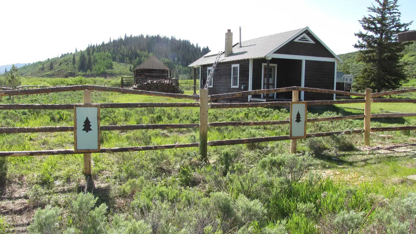 Sherman Guard Station and BunkhouseCampground · 3 sites
Overview As the original Sherman Ranger Station built around 1929, this bunkhouse was used as a seasonal/ summer headquarters for early Forest Service…
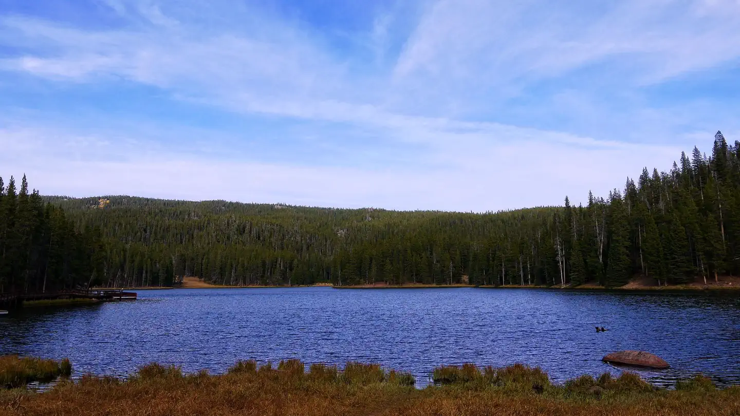 Sibley LakeCampground · 24 sites
Overview Sibley Lake Campground is located at Sibley Lake along the Bighorn Scenic Byway (U.S.
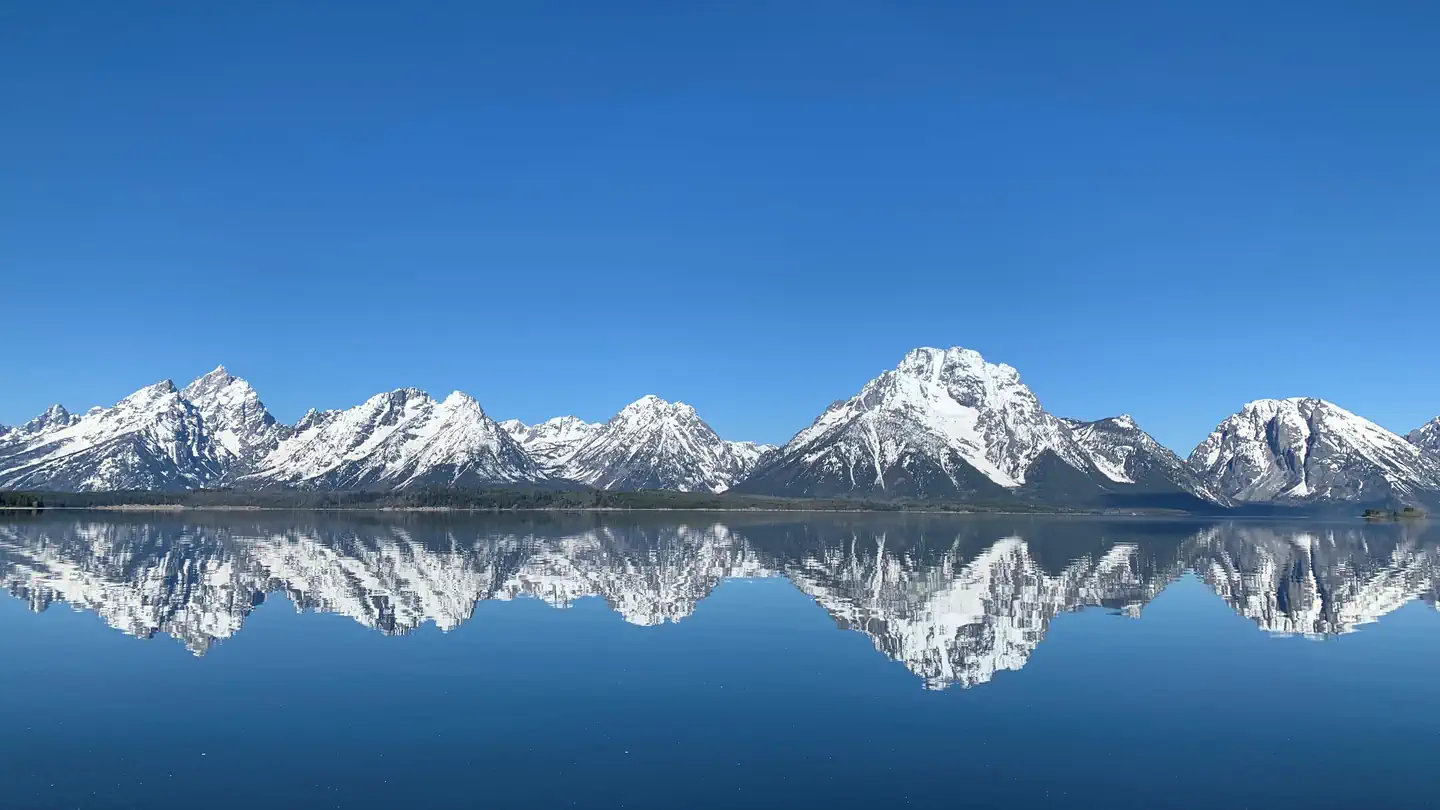 Signal Mountain CampgroundCampground · 78 sites
Overview The Signal Mountain Campground is centrally located inside Grand Teton National Park (GTNP) and provides a convenient basecamp for accessing all the…
- Silver City TrailheadFacility · not watchable
From Rapid City, travel west on Highway 44 for about 15 miles. Turn north (right) onto Highway 385 and travel for 1.4 miles, then turn west (left) onto Silver…
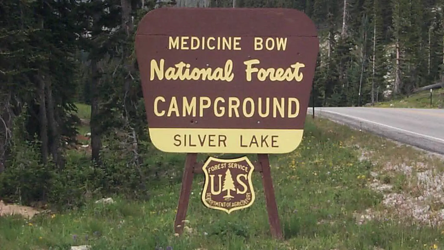 Silver Lake Campground (WY)Campground · 17 sites
Overview At just under 10,500 feet Silver Lake Campground is the highest elevation campground on the Brush Creek/Hayden Ranger District.
- Simpsons HollowFacility · not watchable
Simpson's Hollow is Identified as a significant location during conflict called "The Utah War". U.S.
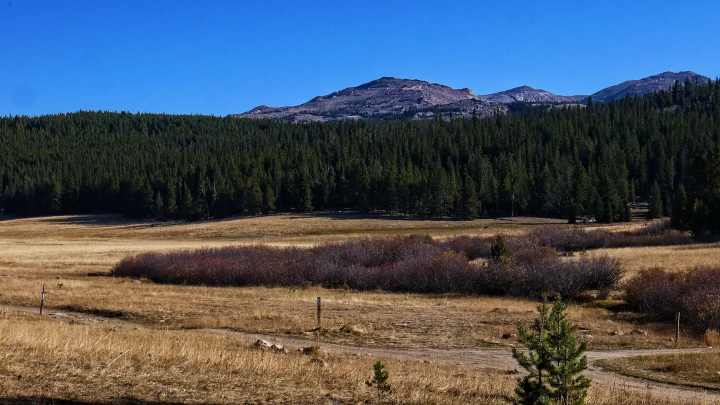 Sitting BullCampground · 41 sites
Overview Sitting Bull Campground is located 51 miles east of Worland, Wyoming on the west side of scenic Cloud Peak Skyway, near the Cloud Peak Wilderness…
- Skyline TrailFacility · not watchable
The Skyline Trail is a 4.1-mile trail system, designed with accessibility in mind. There are three different trailheads to access the system.
- Slate Creek CampgroundCampground · not watchable
The Slate Creek campground is just south of the shores of Fontenelle Reservoir, on the Green River, and just north of Seedskadee National Wildlife Refuge.
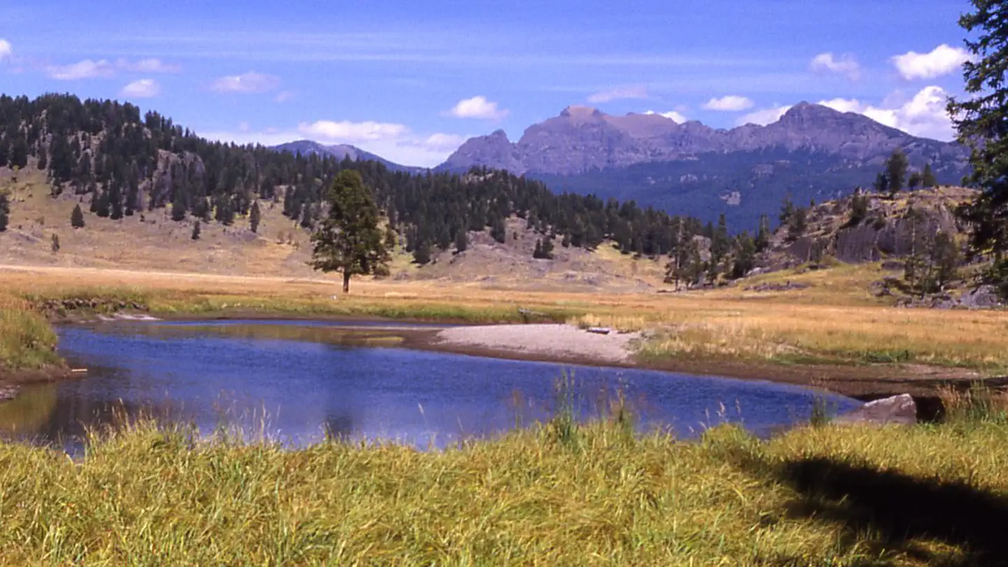 Slough Creek CampgroundCampground · 16 sites
Overview Slough Creek is near some of the best wildlife watching opportunities in the park.
- Small Vehicle CampgroundCampground · not watchable
The small vehicle campground is located within the Scab Creek Recreation Area. It provides 12 sites, including one group site.
- Smith Fork AreaFacility · not watchable
The Smith Fork Area of the Greys River Ranger District offers 27 miles of scenic driving and recreation opportunities.
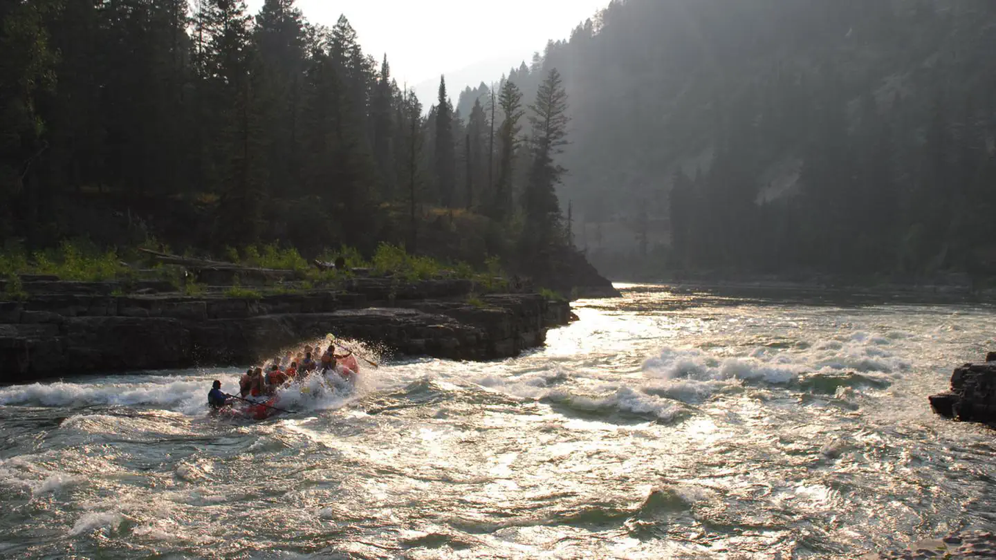 Snake River Non-commercial Group Use Launch Timed ReservationsTimed entry
The Upper Snake River is known worldwide for its crystal-clear waters, unique geology, numerous recreation adventures, and amazing varieties of wildlife.
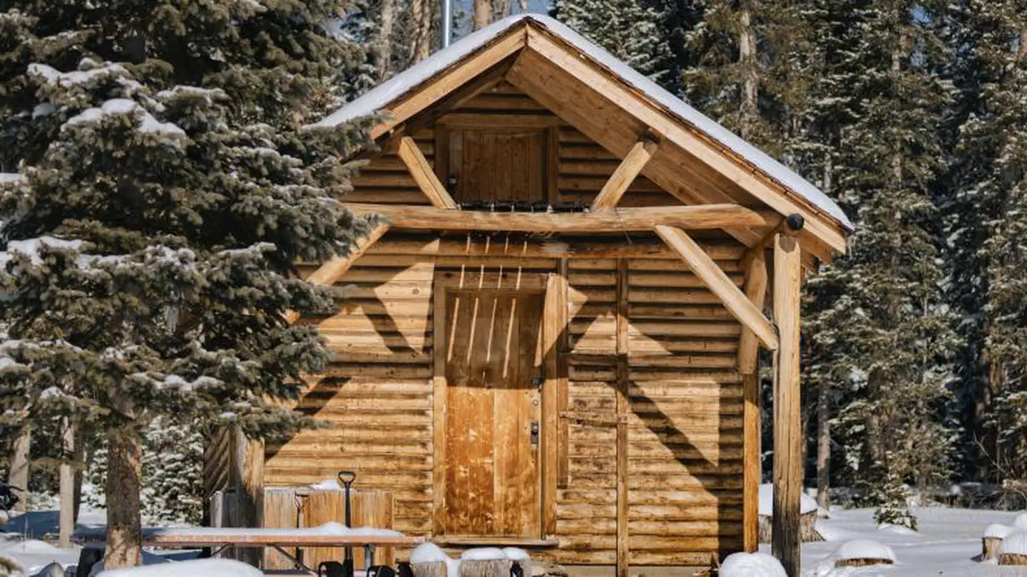 Snow Survey CabinCampground · 1 sites
Overview The Snow Survey Cabin provides visitors with a rustic accommodation on the Snowy Range.
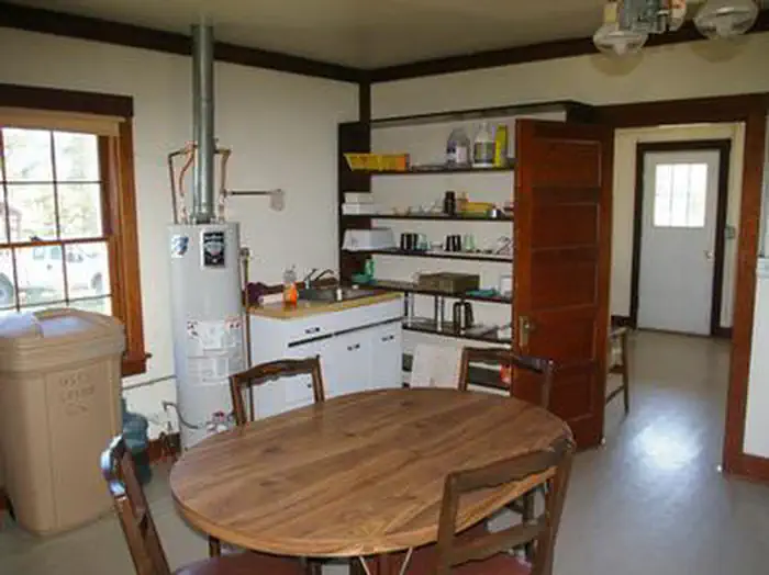 Snyder Guard Station (Wy)Campground · 1 sites
Overview Snyder Guard Station is located in beautiful Snyder Basin, 22 miles west of Big Piney, Wyoming.
- South Boxelder TrailheadFacility · not watchable
South Boxelder Trailhead (also known as Blue Draw) provides both motorized and non-motorized access to the Centennial Trail, a National Recreation Trail.
- South Boxelder TrailheadFacility · not watchable
South Boxelder Trailhead (also known as Blue Draw) provides both motorized and non-motorized access to the Centennial Trail, a National Recreation Trail.
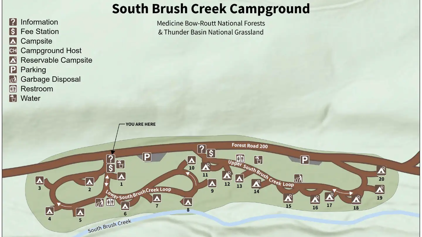 South Brush Creek Campground (WY)Campground · 20 sites
Overview South Brush Creek Campground is located on the west side of the Snowy Range along the shore of South Brush Creek and is a sunny campground composed of…
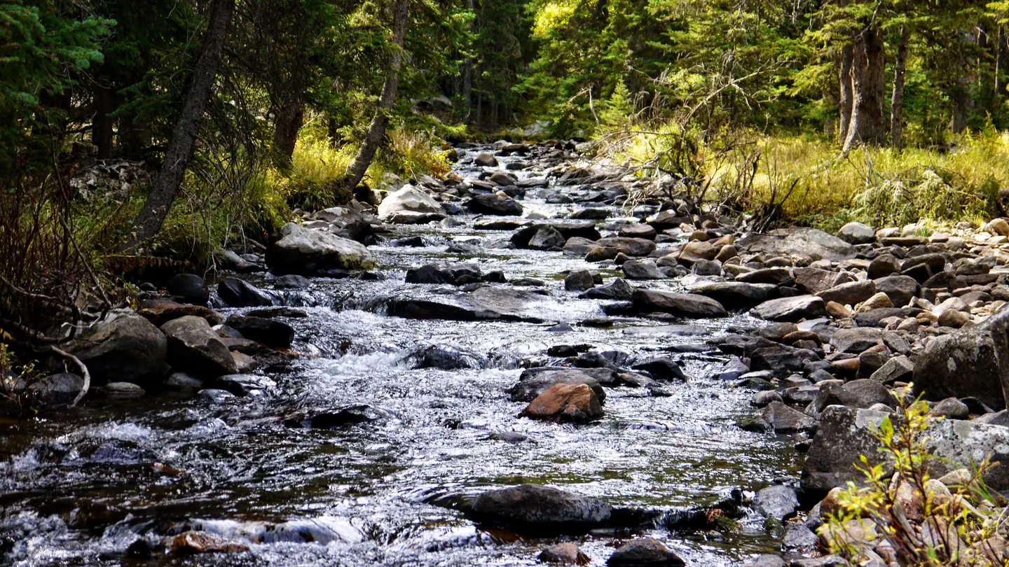 South Fork (Wyoming)Campground · 13 sites
Overview South Fork Campground is located 15 miles west of Buffalo, Wyoming on the east side of scenic Cloud Peak Skyway, near the Cloud Peak Wilderness Area.
- South Pass OverlookFacility · not watchable
A stop along the National Historic Trail Auto Tour Route, the South Pass Overlook includes six interpretive signs that focus on the early emigration period and…
- South Pass SummitFacility · not watchable
Location of the South Pass along the Continental Divide. This broad pass, the highest point on the trail, is at the summit of an almost imperceptible approach…
- South Pinnacles WSAFacility · not watchable
The South Pinnacles WSA encompasses 10,800 acres, including 26 acres of split estate land.
- Spearfish Quarry TrailheadFacility · not watchable
The Forest Service designed the Spearfish Quarry Trailhead for beginners to practice their motorized riding skills.
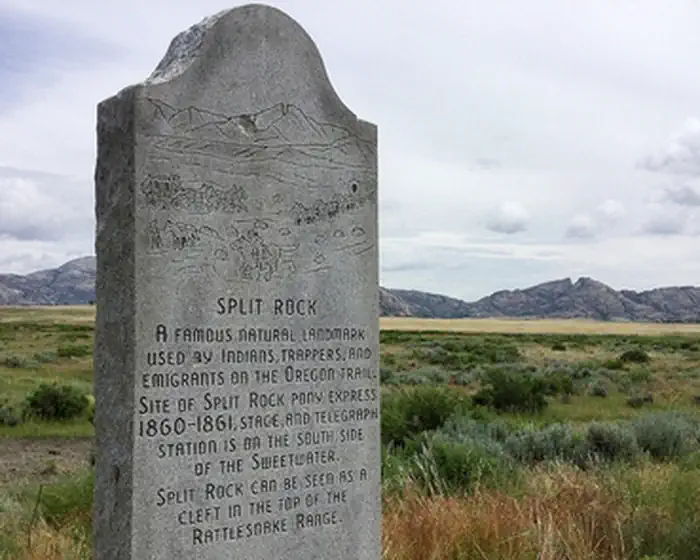 Split Rock Interpretive SiteFacility · not watchable
As the dominant landmark of the Sweetwater Valley, the unmistakable "gun sight" notch in the summit of Split Rock aimed the emigrants directly at Great South…
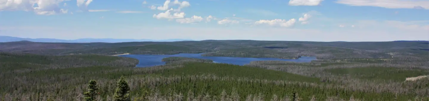 Spruce MTN Fire Lookout TowerCampground · 1 sites
Overview Perched atop a forested mountain, Spruce Mountain Fire Lookout Tower offers visitors a unique lodging experience in Medicine Bow National Forest in…
- Stageyard TrailheadFacility · not watchable
Stageyard Trailhead provides access to six OHV trails that are open to vehicles 62-inch in width or less.
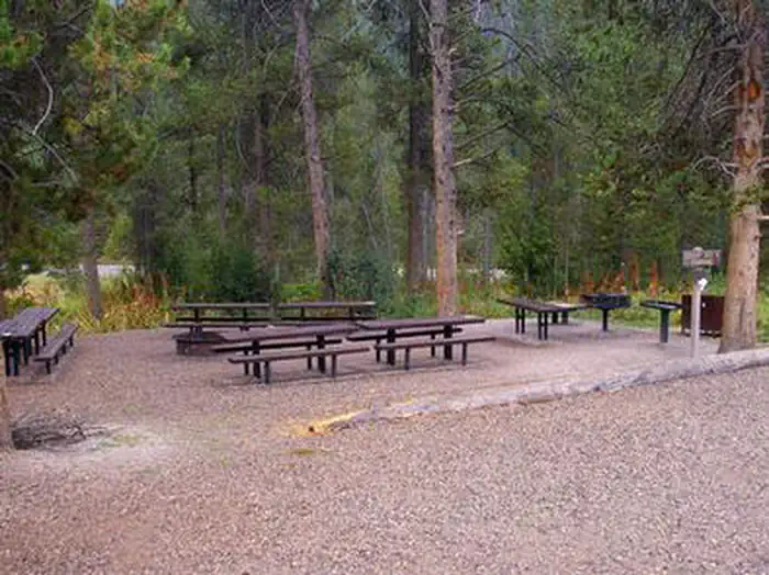 Station Creek CampgroundCampground · 2 sites
Overview Station Creek Campground is located in beautiful Snake River Canyon, just 27 miles southwest of Jackson, in western Wyoming.
- Steamboat Lake Parking LotFacility · not watchable
North Routt winter recreation area map Access to Steamboat Lake State Park groomed snowmobile trails around the lake as well as non-motorized use areas.
- Stemp Springs Snowmobile Parking LotFacility · not watchable
The Stemp Springs Snowmobile Parking lot provides access to snowmobile trails in the Sierra Madre Range.
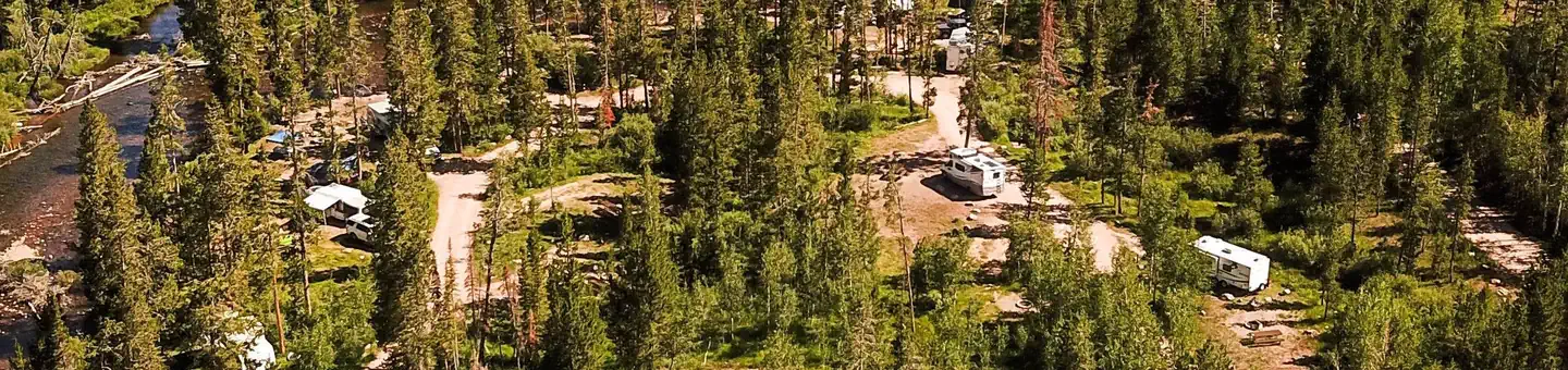 Stillwater (Ut)Campground · 23 sites
Overview Stillwater Campground is located 32 miles from Evanston, Wyoming, just off the Mirror Lake Scenic Byway at an elevation of 8,500 feet.
- Stokes CrossingFacility · not watchable
Stokes Crossing Campground is located along Boulder Creek within the Boulder Lake Special Recreation Management Area.
 Sugarloaf Campground (WY)Campground · 15 sites
Overview At an elevation of 10,800 feet, Sugarloaf is the highest elevation campground that the Medicine Bow-Routt National Forest has to offer and it is one…
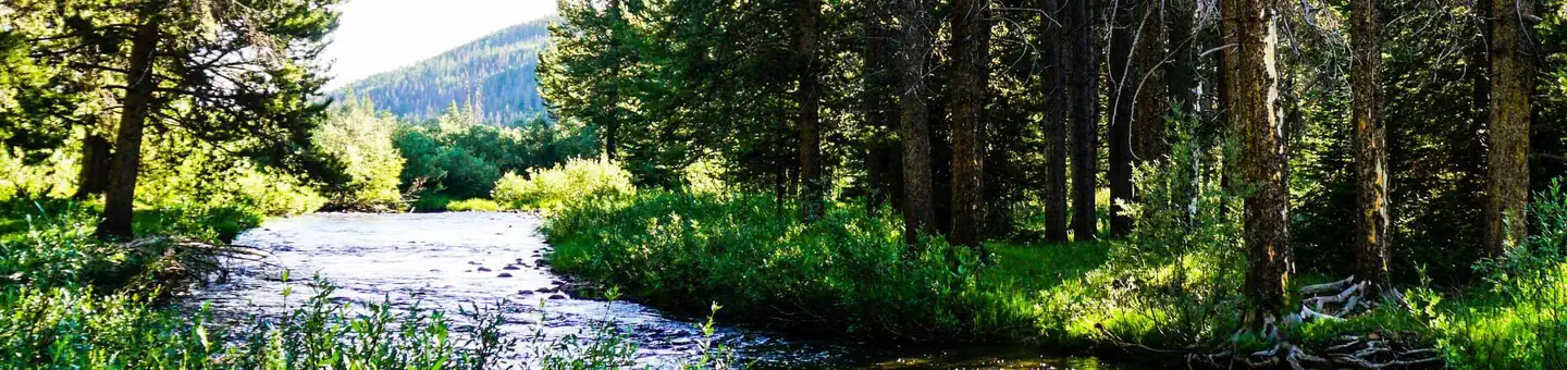 Sulphur CampgroundCampground · 21 sites
Overview Sulphur Campground is located 39 miles from Evanston, Wyoming, just off the Mirror Lake Scenic Byway at the confluence of Stillwater Fork and Hayden…
- Summit THFacility · not watchable
Located near the Summit Rest Area/Visitors Center/Lincoln Monument. Access to the Tie City and Happy Jack trail systems via the Headquarters and Crow Creek…
- Sundance Trail System Trailhead (Trail #93)Facility · not watchable
The Sundance Trail System weaves through the network of densely-forested canyons and winding open ridges that form the Bearlodge Mountains.
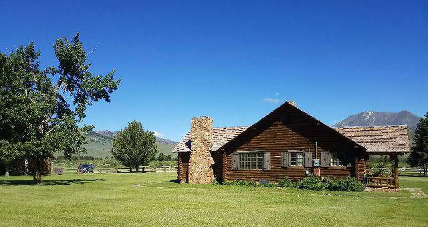 Sunlight Rangers CabinCampground · 1 sites
Overview Sunlight Rangers Cabin lies within the Sunlight Ranger Station, located approximately 40 miles northwest of Cody, Wyoming, in the Shoshone National…
- Superior Mail ArrowFacility · not watchable
Four interpretation panels tell the story of early air travel. In the days before two way radio communication was prevalent, these concrete shapes were used as…
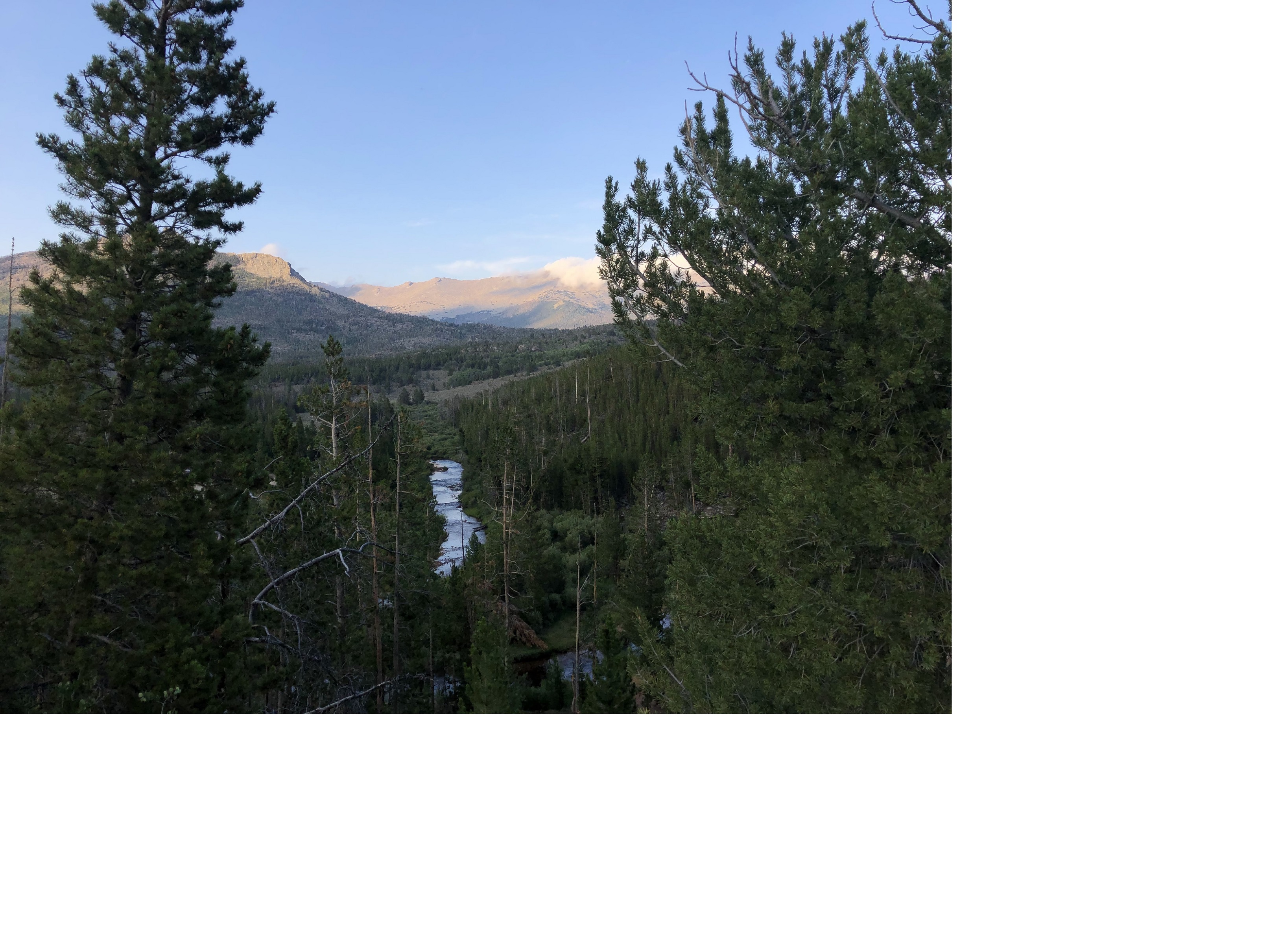 Sweetwater Guard Station CampgroundCampground · not watchable
The Sweetwater Guard Station Campground has 3 walk-in campsites and 8 pull-in sites featuring picnic tables and fire rings at each.
- TIC's Snowmobile Parking LotFacility · not watchable
Parking lot used primarily for snowmobile parking in the winter. This site is not regularly maintained, including the restrooms. It is located in the Snowy…
 Tail Race CampgroundCampground · not watchable
The Tail Race Campground features three campsites with fire rings and a vault toilet.
- Tensleep Canyon Interpretive SiteFacility · not watchable
Tensleep Canyon Interpretive Site sits along the Cloud Peak Skyway. Stop and read the interpretive signs and view the beautiful scenery.
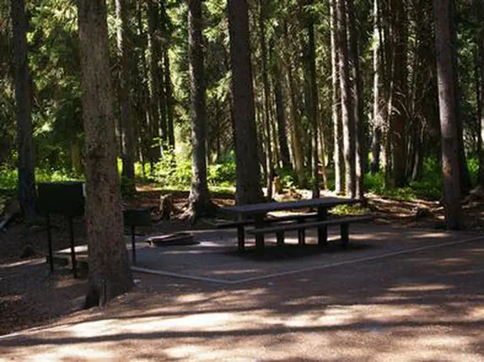 Teton CanyonCampground · 13 sites
Overview Teton Canyon Campground is located in beautiful Teton Canyon at an elevation of approximately 6,500 feet. Driggs, Idaho is just 11 miles away.
- Teton Pass AreaFacility · not watchable
Teton Pass offers many miles of biking and hiking as well as excellent backcountry skiing and snowmobiling.
- The Pinnacles Geologic SiteFacility · not watchable
Geologically The Pinnacles are formations that are unique to this area because of their pyramid-like structure.
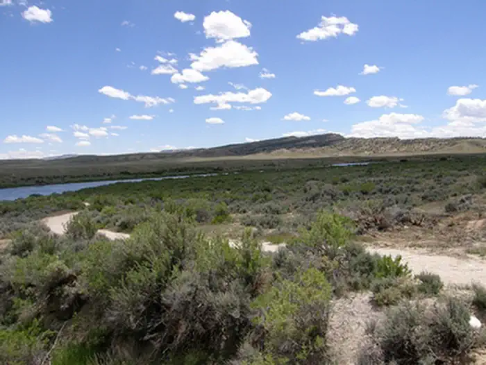 The Redds Day Use AreaFacility · not watchable
The Redds Day Use Area has an access road, parking area and a one-mile pedestrian trail with interpretive signs. The trail provides access to the riverbank.
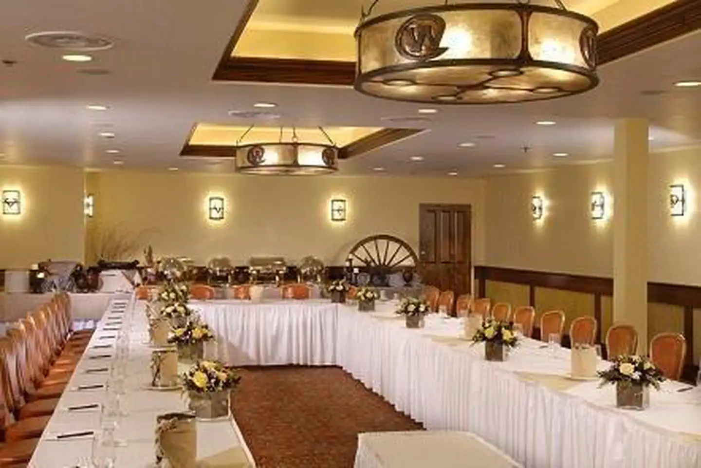 The Wort HotelFacility · not watchable
The Wort Hotel, built in 1941 and a member of Historic Hotels of America® since 2001 was listed in the National Register of Historic Places in 1999.
- Three Patches Picnic AreaFacility · not watchable
Received on a Recreation and Public Purposes lease in 1964, Three Patches is among the longest running developed sites in the area.
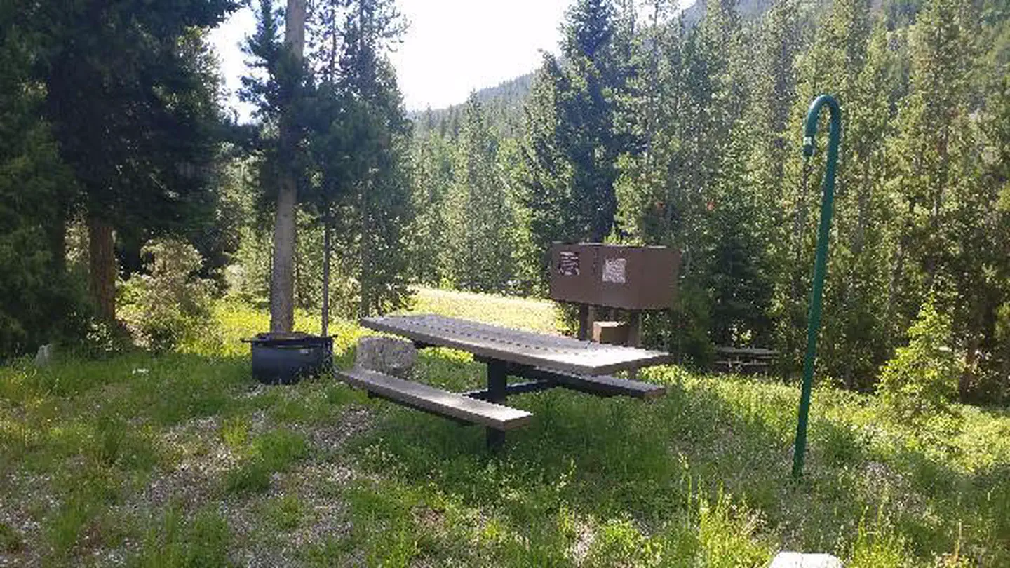 Threemile CampgroundCampground · 21 sites
Overview Threemile Campground is located just three miles from the east entrance of Yellowstone National Park, and 50 miles from the full service gateway…
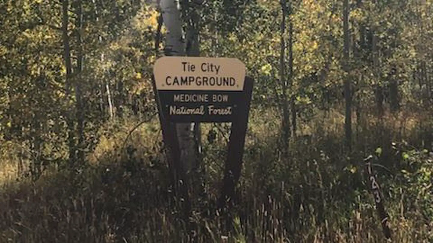 Tie City Campground (WY)Campground · 17 sites
Overview Tie City Campground sits at 8,600ft. It is comprised of 17 campsites in a single tear-drop loop.
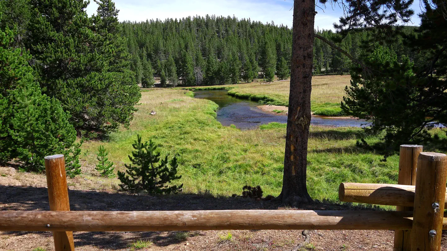 Tie FlumeCampground · 26 sites
Overview Tie Flume Campground is located just off the Bighorn Scenic Byway (U.S. Highway 14) near the Burgess Overlook and Woodrock areas at an elevation of…
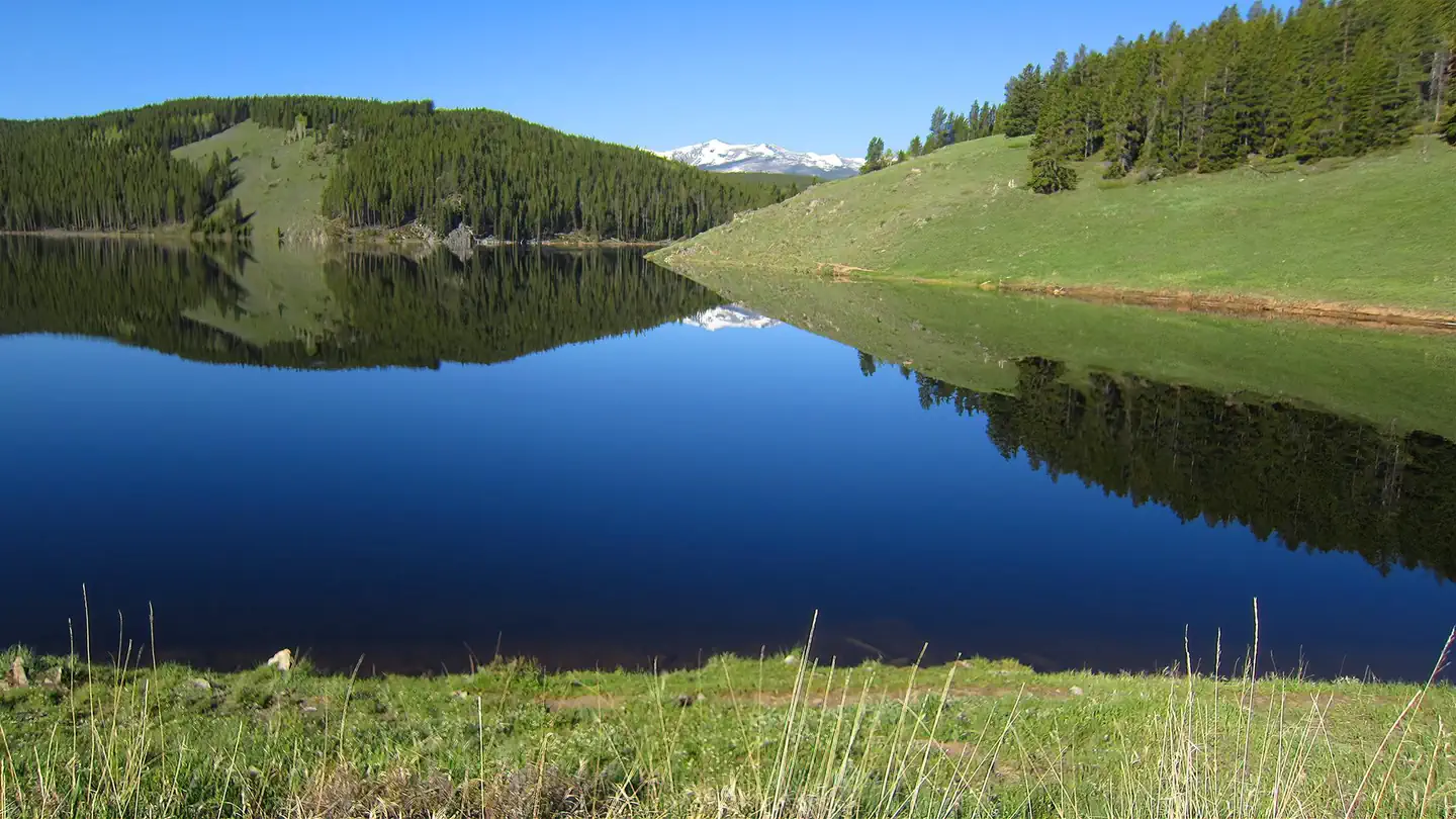 Tie HackCampground · 19 sites
Overview Tie Hack Campground is located close to Tie Hack Reservoir, just 15 miles west of Buffalo, Wyoming on the east side of scenic Cloud Peak Skyway, near…
- Tipple Trail TrailheadFacility · not watchable
The Tipple Trailhead branches off the Miner's Cabin Trail, #201, and heads southwest to the French Creek Canyon Trail, #298.
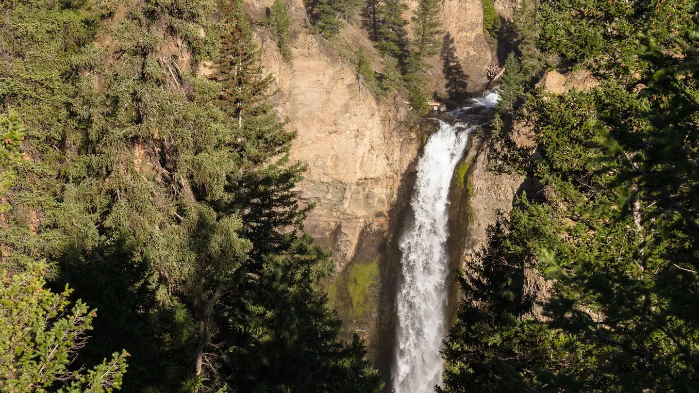 Tower Fall CampgroundCampground · 31 sites
Overview Tower Fall Campground—elevation 6,600 feet (2012 m)—is on the north side of the steep, winding, road to Dunraven Pass.
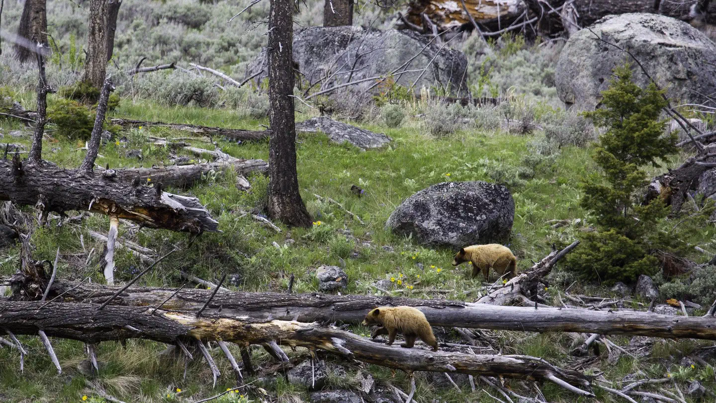 Tower Junction to Slough Creek Road Corridor Vehicle Day-Use TicketsTimed entry
Located in the northern part of Yellowstone National Park, the Tower Junction to Slough Creek road corridor offers access to hiking, fishing, auto touring, and…
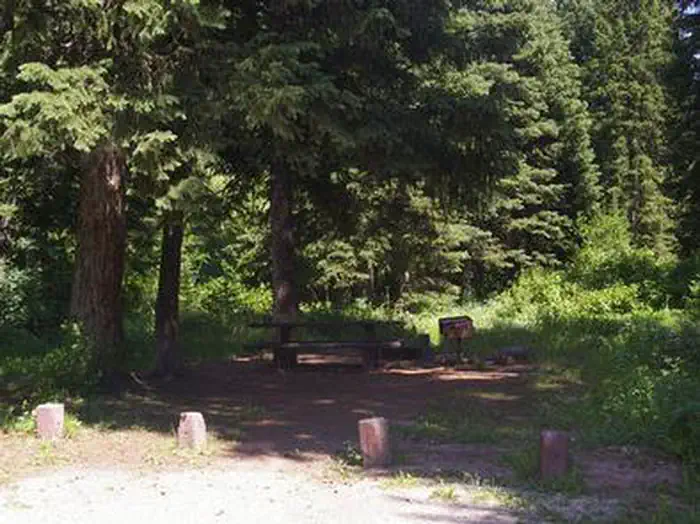 Trail CreekCampground · 10 sites
Overview Trail Creek Campground is located along Trail Creek on scenic Teton Pass, just 7 miles from Victor, Idaho at an elevation of 6,600 feet.
- Trailshead Snowmobile TrailheadFacility · not watchable
The Trailshead Snowmobile Trailhead is the epicenter of snowmobiling in the Black Hills.
- Tri-Territory SiteFacility · not watchable
Constructed in the 1950s with the help of the Kiwanis Club, the Tri-territory Site is the location where the Mexican Territory, the Louisiana Purchase and the…
- Turtle Rock THFacility · not watchable
A very popular trail within the Vedauwoo Day Use Area. The easy trail winds around Turtle Rock, an icon Sherman Granite outcropping.
- Twin Buttes ReservoirFacility · not watchable
Twin Buttes Lake is a popular fishing, boating, and windsurfing area near Laramie, WY. There is a boat ramp and restroom facilities.
- Twin Buttes WSAFacility · not watchable
The Twin Buttes WSAs encompass 8164 acres. The WSA is characterized by highly eroded badlands with scattered patches of sagebrush, grass and juniper.
- Twin Creek TrailFacility · not watchable
The Twin Creek Trailhead provides access to a horseback riding and hiking trail along the West Fork of Twin Creek to the Shoshone National Forest.
- Twin Lakes Picnic GroundFacility · not watchable
Twin Lakes Picnic Ground is an ideal location for a picnic lunch, especially for those with an interest in trout fishing.
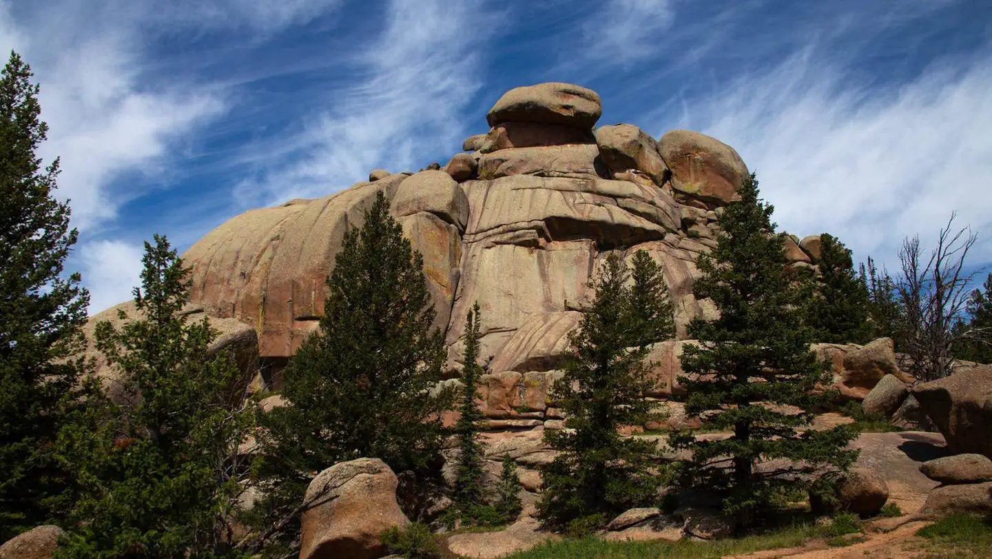 Vedauwoo Campground (WY)Campground · 28 sites
Overview Vedauwoo Campground is composed of two loops with 29 campsites of standard nonelectric sites and walk-in tent sites.
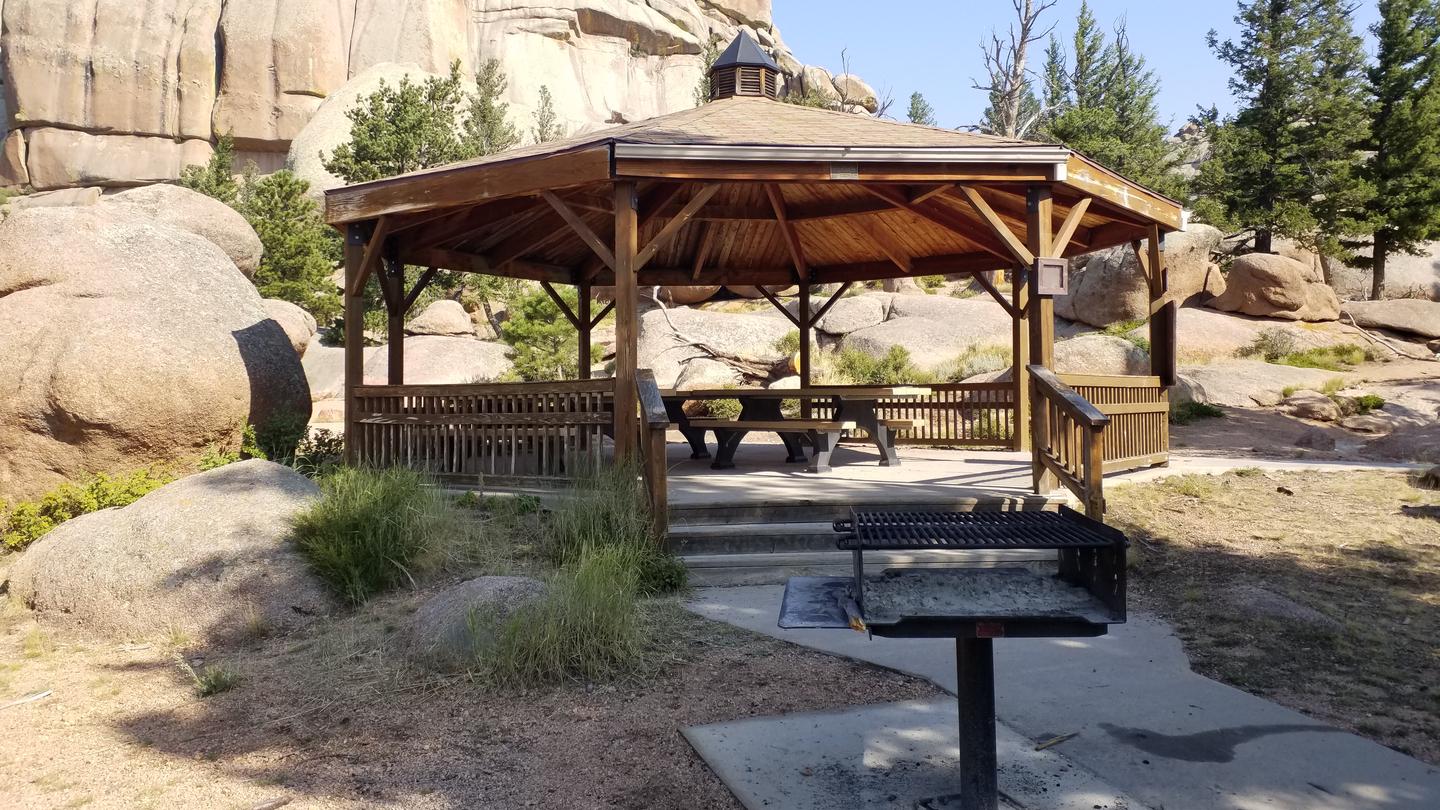 Vedauwoo GazeboCampground · 1 sites
Overview The Vedauwoo Gazebo offers a covered picnic area surrounded by unique Sherman granite boulders, slabs, and rock formations for groups of up to 30…
- Vedauwoo GazeboFacility · not watchable
Closed for the season 10/1/21. Tucked back near the Vedauwoo campground and day use area is the Vedauwoo gazebo.
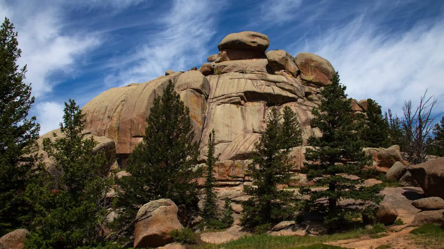 Vedauwoo Tent Campground (WY)Campground · 19 sites
Overview Vedauwoo Tent Campground contains a loop of 20 tent-only sites. All sites have tables, fire rings, and access to vault toilets.
- Verde Mine TrailheadFacility · not watchable
The Verde Mine Trailhead provides access to the Verde Mine Trail and the southern end of the Huston Park Wilderness Area.
- Wapiti BridgeFacility · not watchable
Wapiti Bridge access is located along the North Fork Highway, the portal into Yellowstone's East Gate, within the awesome North Fork Shoshone River corridor.
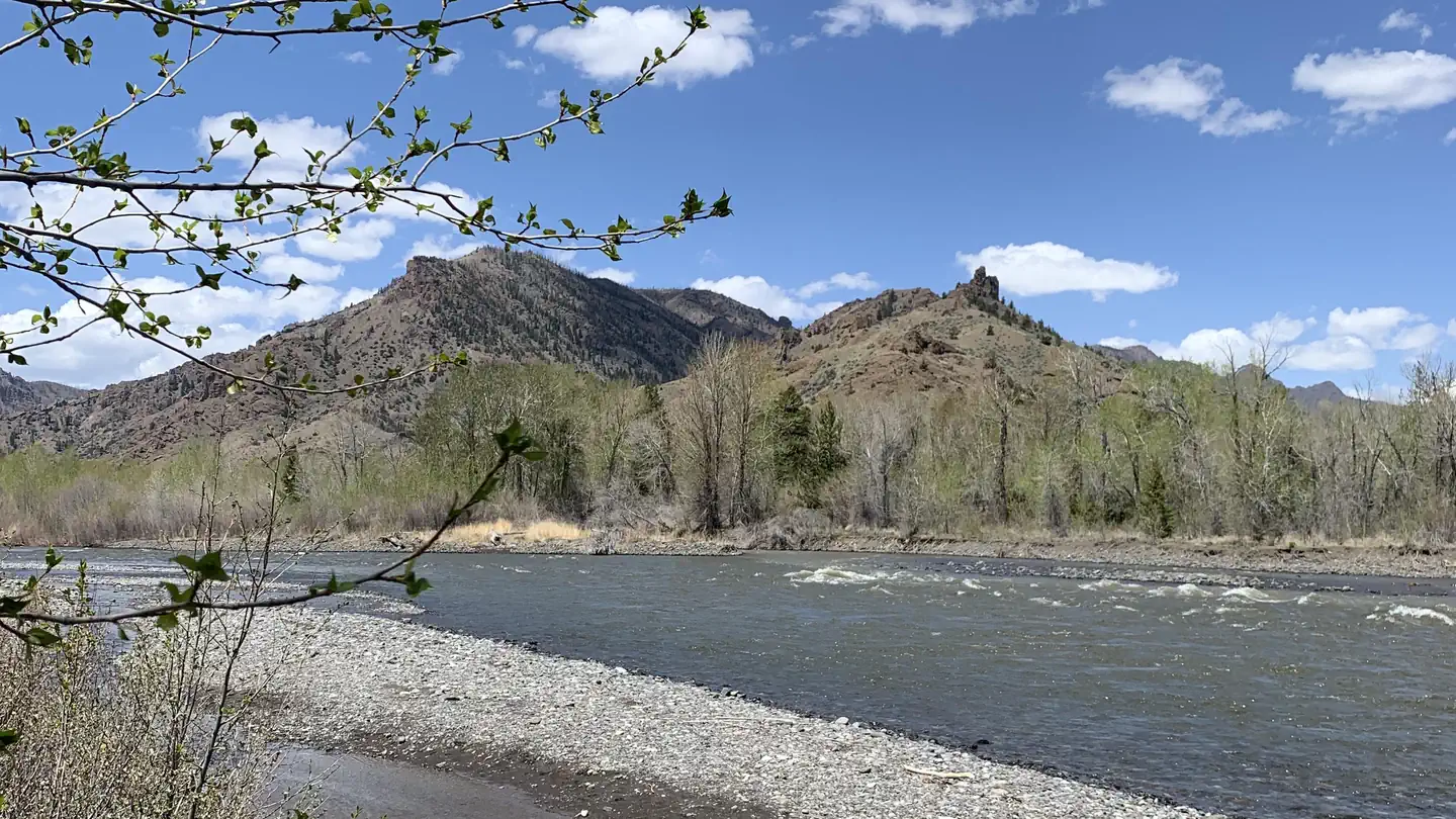 Wapiti CampgroundCampground · 40 sites
Overview Wapiti Campground is located is located along the Buffalo Bill Scenic Byway about 30 miles west of Cody, in northwestern Wyoming.
- Warren Bridge CampgroundCampground · not watchable
The Warren Bridge Campground is a fee campground located off of US 191 adjacent to the famous Green River in Sublette County.
- Warren Peak Fire LookoutFacility · not watchable
The original Warren Peak Fire Lookout was constructed by the Civilian Conservation Corps in 1938. This tower was ten feet tall with a live-in cab.
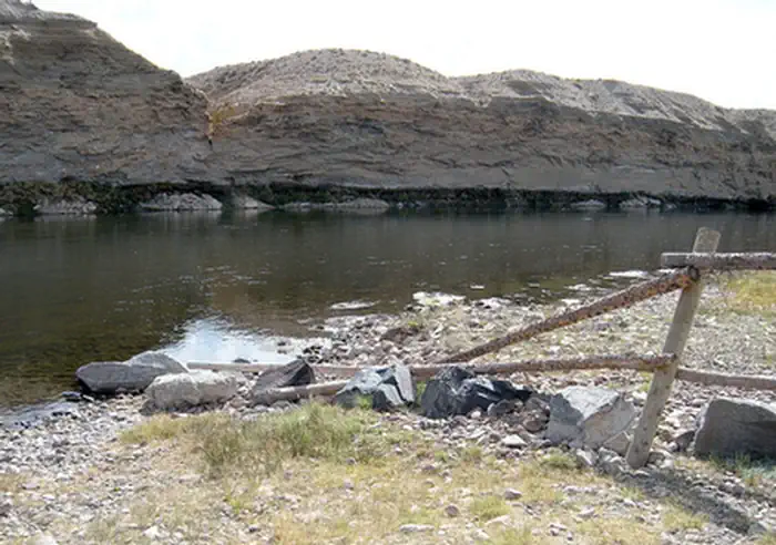 Weeping Rock CampgroundCampground · not watchable
Weeping Rock Campground is a popular spot for fishers, campers and picnickers and offers fishing and boat access to the Green River.
- West Lake MarieFacility · not watchable
This scenic trailhead parking area provides access to trails ranging from easy to difficult, beautiful views of alpine lakes, wildlife, and Medicine Bow Peak,…
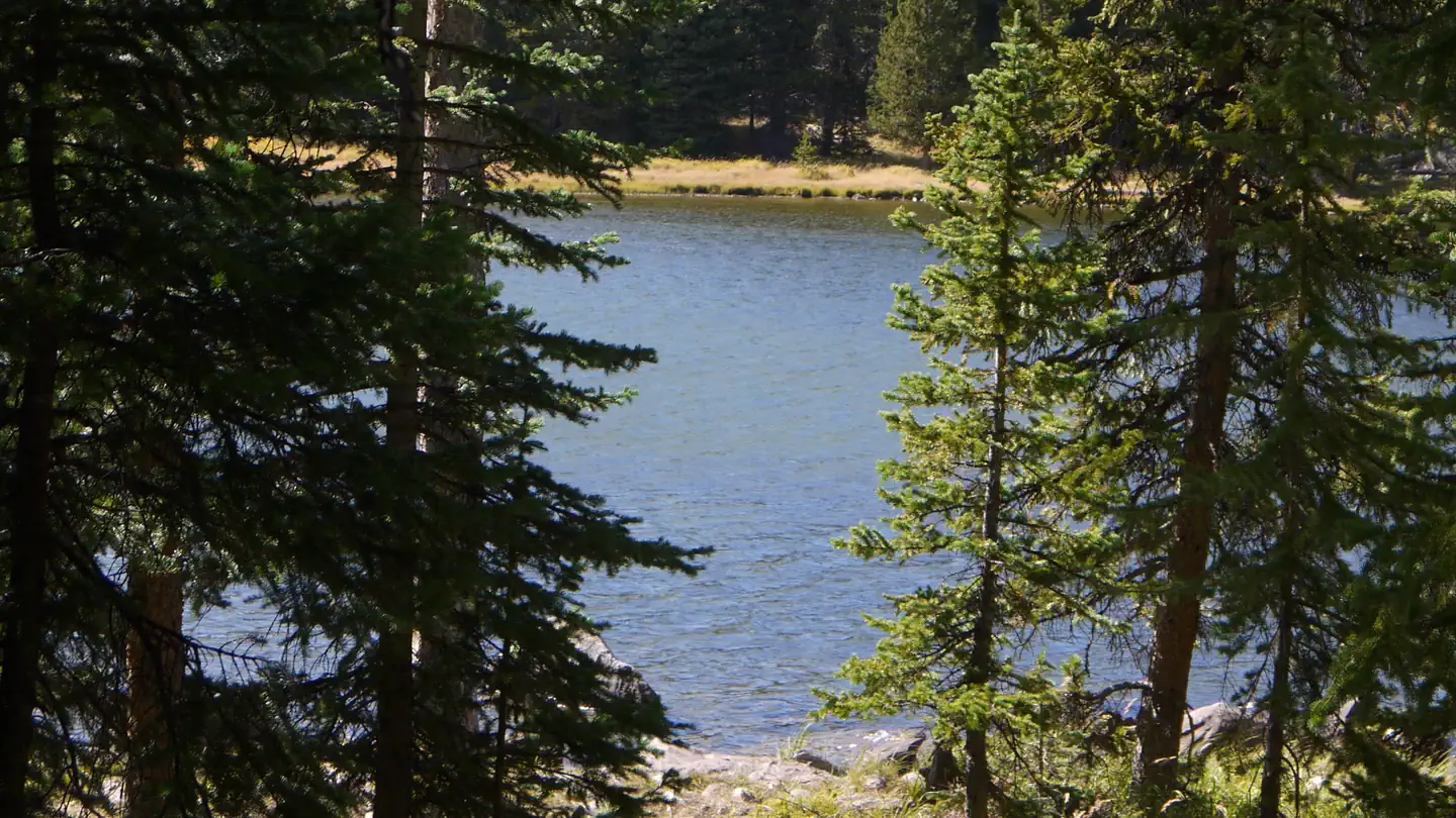 West Tensleep LakeCampground · 10 sites
Overview West Tensleep Lake Campground is located on West Tensleep Lake on the west side of scenic Cloud Peak Skyway, near the Cloud Peak Wilderness Area.
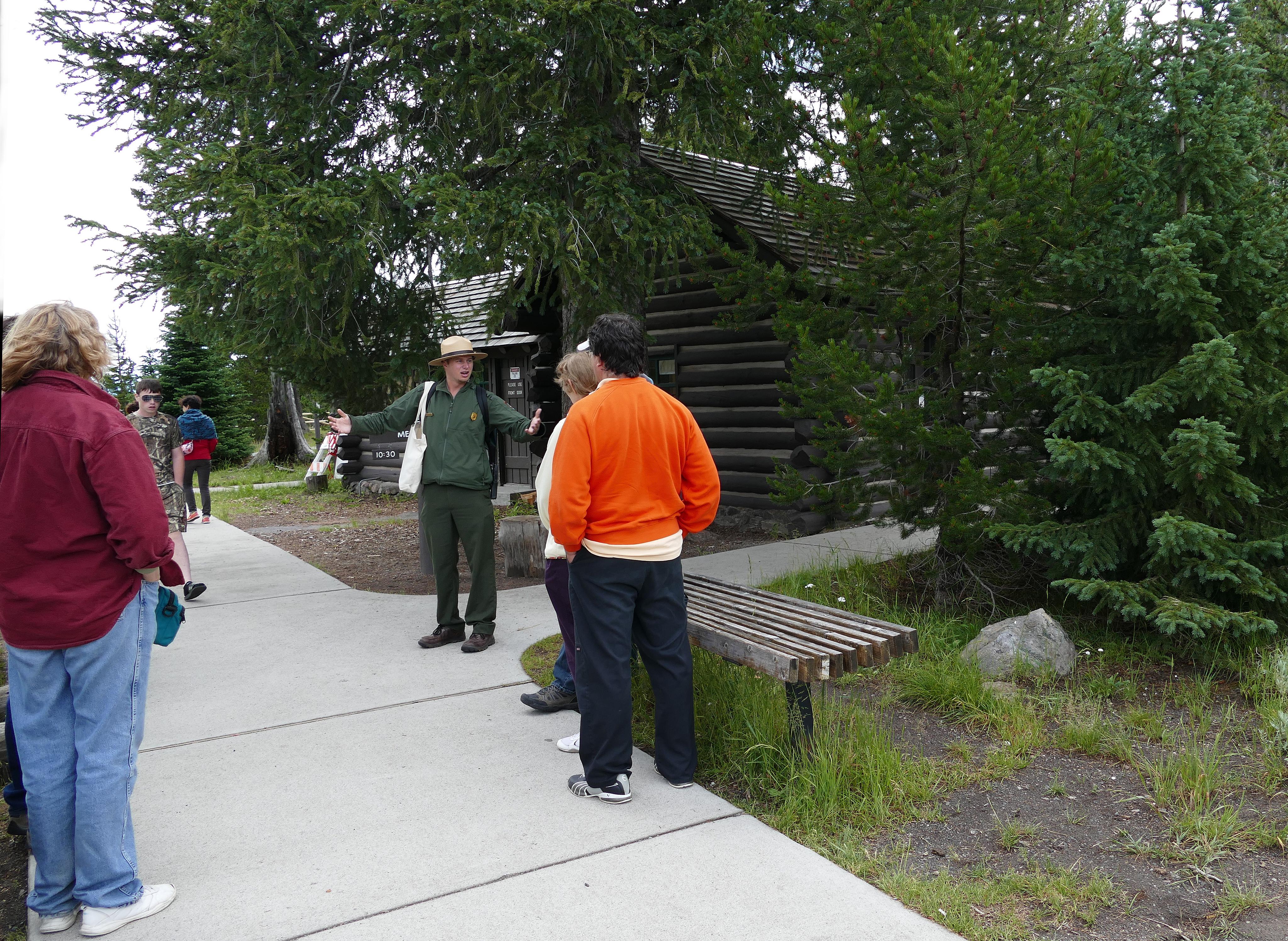 West Thumb Information StationFacility · not watchable
This facility is closed until further notice as of July 2026. A small facility at the start of the West Thumb Geyser Basin boardwalks, where you can visit with…
- Whitehorse Creek WSAFacility · not watchable
The Whitehorse Creek Wilderness Study Area (WSA) encompasses 4,002 acres of BLM-administered land with no private or state inholdings.
- Whitetail Day Use AreaFacility · not watchable
The Whitetail Day Use Area is a good spot for bank fishing or launching a boat into the North Platte River.
- Wild Fire Interpretive SiteFacility · not watchable
Wild Fire Interpretive Site sits along the Bighorn Scenic Byway. Stop and see the spectacular valley views.
- Wilkins Peak Bike TrailFacility · not watchable
The Wilkins Peak Mountain Bike Trail System is a network of mountain bike trails located adjacent to the City of Green River.
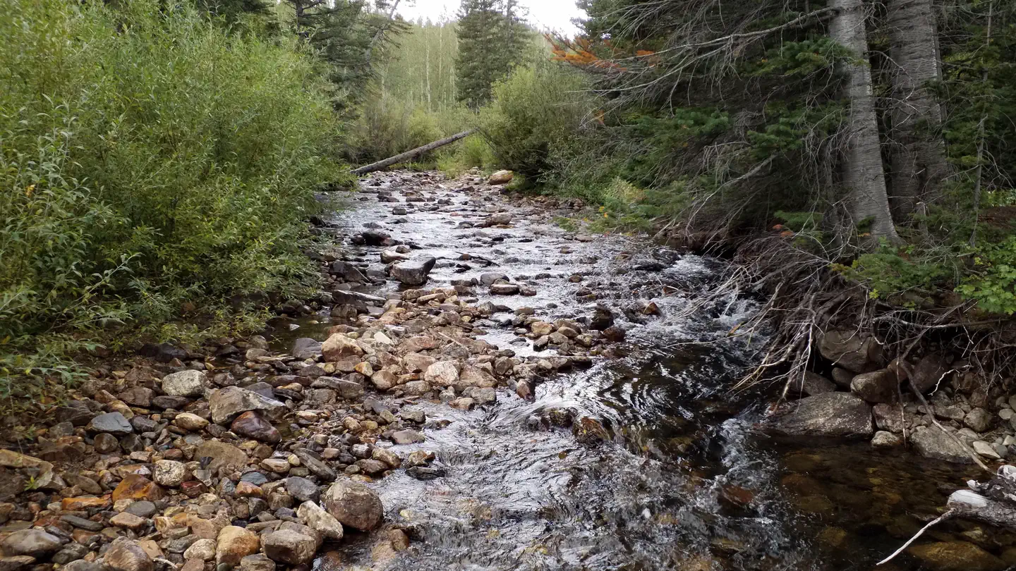 Willow Campground (WY)Campground · 16 sites
Overview Located off the Snowy Range Scenic Byway in the Libby Creek Recreation Area, this campground has 16 campsites (trailers under 22 feet), picnic tables,…
- Willow Creek AreaFacility · not watchable
The Willow Creek Area offers some great backcountry exploring for hiking, horse-back riding, hunting and biking.
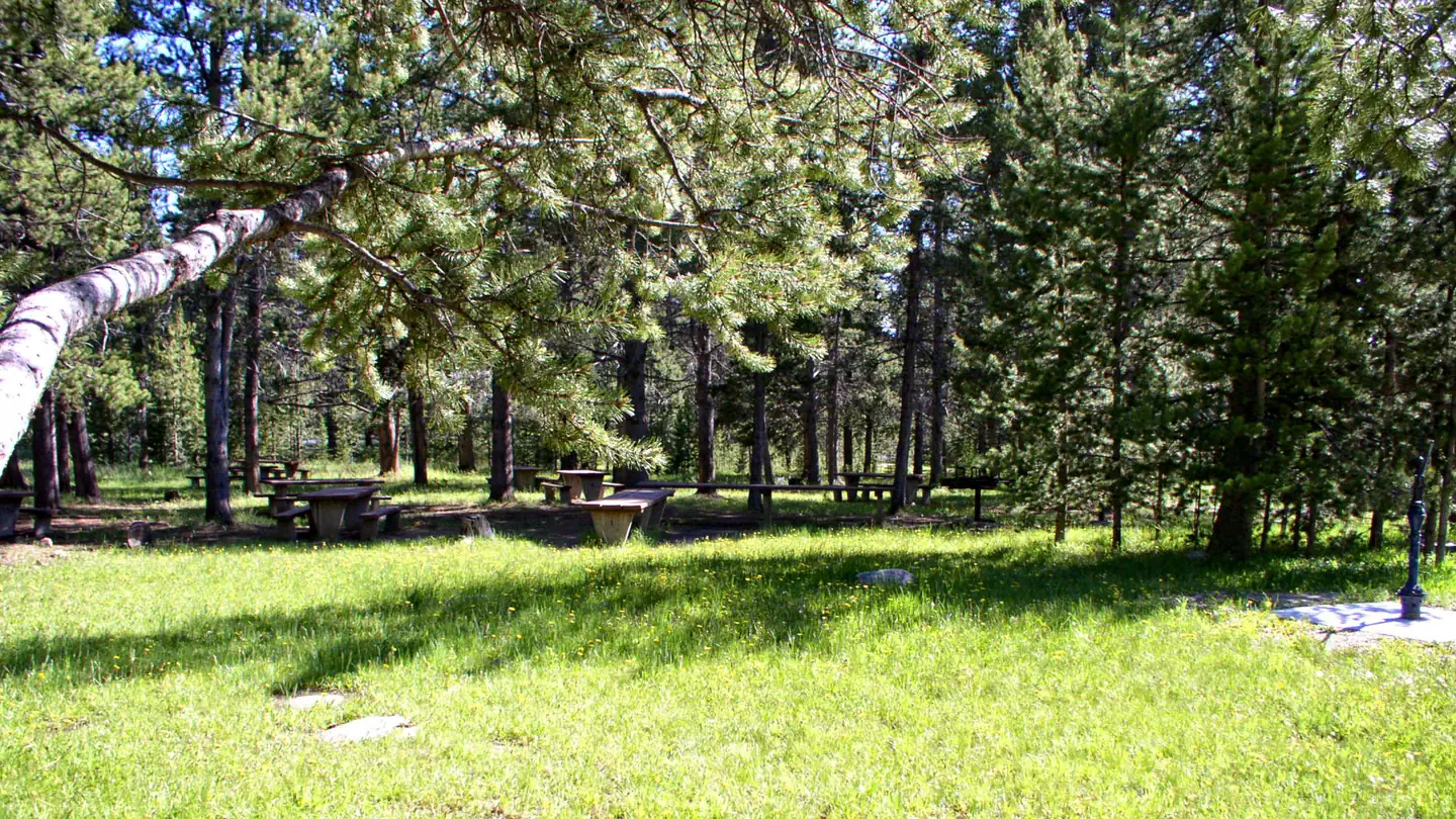 Willow ParkCampground · 1 sites
Overview Willow Park is located about 50 miles east of Worland, Wyoming on the west side of scenic Cloud Peak Skyway, near the Cloud Peak Wilderness Area.
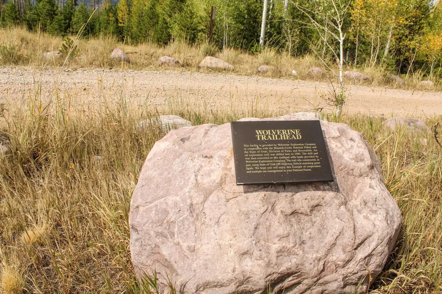 Wolverine ATV Trailhead CampgroundCampground · 6 sites
Overview Wolverine ATV Trailhead Campground is located just a few miles off the Mirror Lake Scenic Byway, 35 miles from Evanston, Wyoming.
- Woodrock Sawmill Interpretive SiteFacility · not watchable
Woodrock Sawmill Interpretive Site is one of many interpretive sites on the forest. Woodrock Sawmill – 1905 Three logging firms: Starbird & Hall, J.H.
- Worthen Meadow CampgroundCampground · not watchable
Worthen Meadow Campground has 28 campsites on the shores of Worthen Meadow Resevoir. Trailheads at the campground accesses the Popo Agie Wilderness.
- Wyoming Centennial Scenic BywayFacility · not watchable
The Wyoming Centennial Scenic Byway traverses one hundred and sixty two miles through what National Geographic refers to as “one of the finest drives in the…
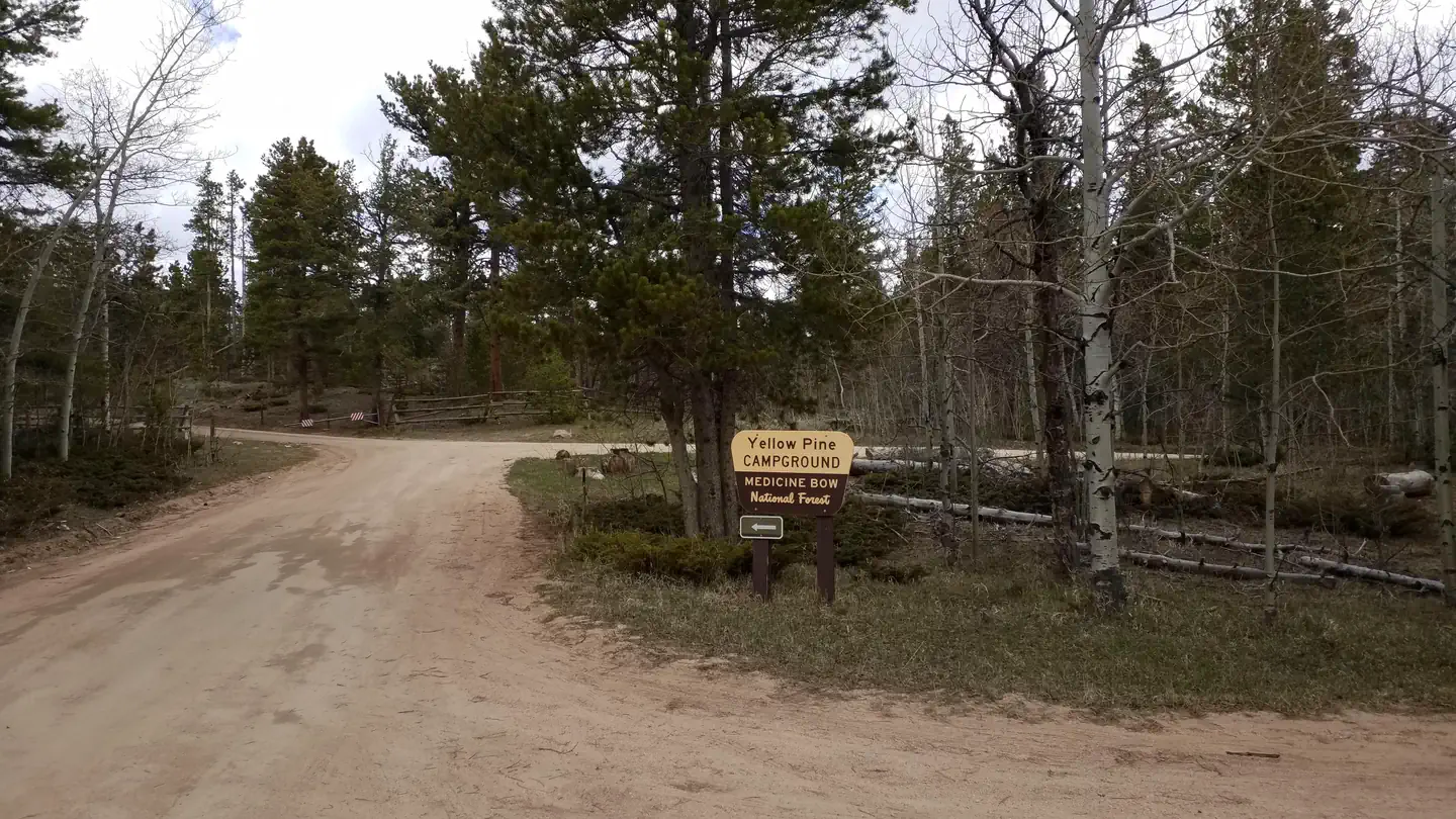 Yellow Pine Campground (WY)Campground · 19 sites
Overview The campground is composed of 19 sites in a single loop near a stand of mixed conifers and Aspen. Recreation The campground connects to the Tie City…
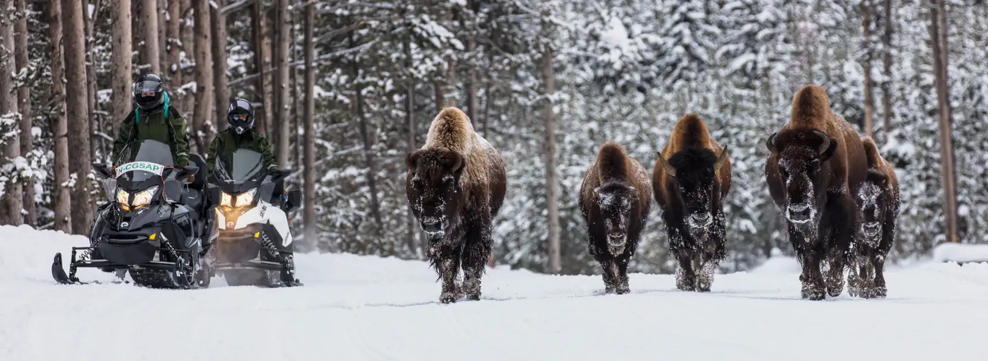 Yellowstone Non-Commercially Guided Snowmobile Access ProgramPermit
Overview: Yellowstone National Park's winter landscape offers a magical experience for those willing to brave its cold temperatures.
Facility information and photographs from Recreation.gov (RIDB). SpotOpened is not affiliated with Recreation.gov or any federal agency.