Hunter Peak
Campground · Wyoming · 8 bookable sites ·
Managed by the USDA Forest Service
Shoshone National Forest (NF) · Open Access
- 8
- Bookable sites
- 56 ft
- Max rig length
- up to 6
- People per site
- 6,549 ft
- Elevation
Overview
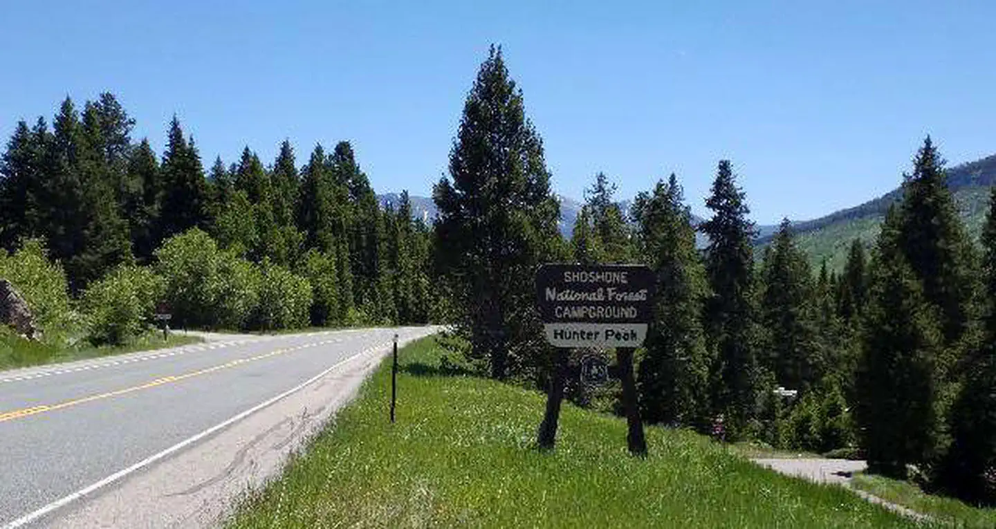
Hunter Peak Campground is located on the Chief Joseph Scenic Highway/State Highway 296, approximately four miles south of the junction with scenic Beartooth Highway/U.S. Highway 12. The campground is about 60 miles northeast of Cody, in northwestern Wyoming.Recreation
The Clarks Fork offers outstanding fishing opportunities for rainbow and cutthroat trout. Many hiking trails are located in the area, including the Clarks Fork Trailhead, which is across the highway from the campground.Facilities
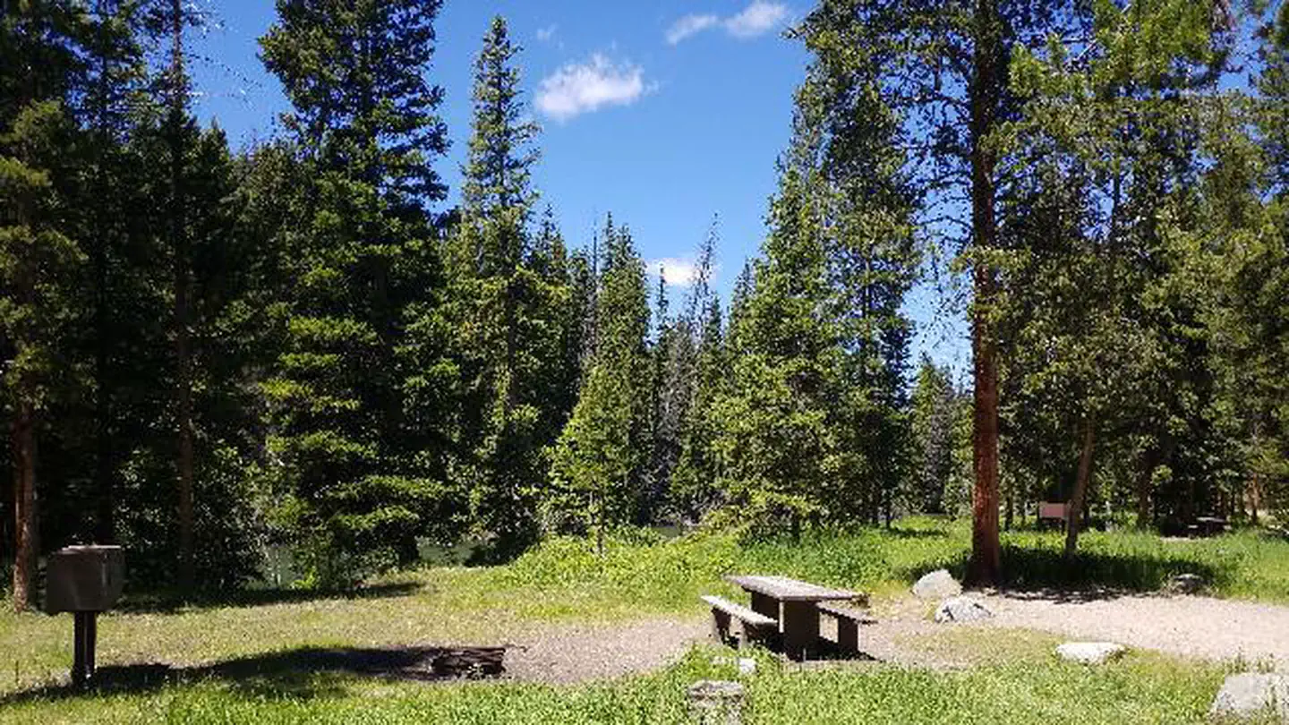
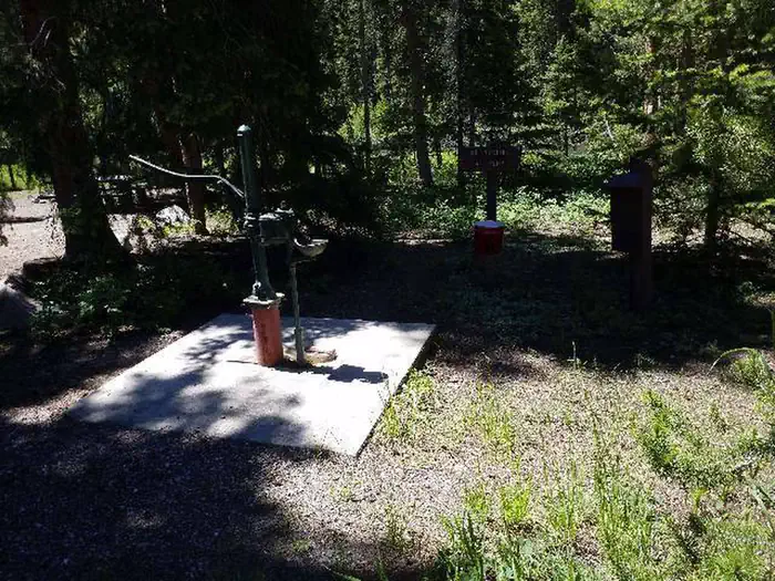
This small campground contains single-family campsites, each equipped with a table and campfire ring. Vault toilets, hand-pumped water, and trash collection are provided. A host is on-site. Firewood may be gathered in the area.
Fuel and sundries are available in the nearby community of Crandall.
Sites 5, 6, 7, and 8 are available for reservation. Please click on the "Check Availability" button for more information.
Natural Features
The campground sits on the banks of the Clarks Fork of the Yellowstone River, at an elevation of 6,500 feet. A mixed conifer forest covers the campground. A variety of wildlife, including grizzly bear, deer and elk makes its home in the area.Nearby Attractions
The Beartooth Highway was deemed "the most beautiful drive in America," by the late Charles Kuralt. It snakes across the rugged Beartooth Mountains from Red Lodge to Cooke City, Mont., and is the highest elevation highway in the Northern Rockies. Along the way, visitors are treated to sweeping views and plentiful outdoor recreation opportunities.Yellowstone National Park's northeast entrance is approximately 24 miles from the campground via the Beartooth Highway. The park offers unparalleled wildlife viewing opportunities, as well as breathtaking scenery and unique geological features.
The facts
- 8 bookable sites
- Vehicles up to 56 ft
- Up to 6 people per site
- Loops: HUNTER PEAK
Site types
- 8 Standard Nonelectric
Amenities
- Shade
Not recorded upstream: electric hookups, water hookups, sewer hookups, campfires allowed, fire pits, picnic tables, grills, pets allowed.
8 campsites at Hunter Peak
Check-in 2:00 PM · Check-out 12:00 PM
| Site | Loop | Type | Entry | Surface | Max rig | People | |
|---|---|---|---|---|---|---|---|
| 002 | HUNTER PEAK | Standard Nonelectric | Back In | Gravel | 32 ft | 6 | |
| 003 | HUNTER PEAK | Standard Nonelectric | Back In | Gravel | 23 ft | 6 | |
| 004 | HUNTER PEAK | Standard Nonelectric | Back In | Gravel | 35 ft | 6 | |
| 005 | HUNTER PEAK | Standard Nonelectric | Back In | Gravel | 31 ft | 6 | |
| 006 | HUNTER PEAK | Standard Nonelectric | Back In | Gravel | 56 ft | 6 | |
| 007 | HUNTER PEAK | Standard Nonelectric | Back In | Gravel | 35 ft | 6 | |
| 008 | HUNTER PEAK | Standard Nonelectric | Back In | Gravel | 34 ft | 6 | |
| 009 | HUNTER PEAK | Standard Nonelectric | Back In | Gravel | 50 ft | 6 |
Getting there
From Cody, Wyo., travel north on State Highway 120 to Highway 296. Enjoy your drive along the Chief Joseph Scenic Byway as the campground is approximately 60 miles from Cody, and located on the left side of the highway. From the northeast entrance of Yellowstone Park or Red Lodge, MT, travel on U.S. Highway 212, which is part of the All-American Road - Beartooth Scenic Byway to the junction with State Highway 296. Take Highway 296 approximately 5 miles to the campground, which is on the right side of the highway.
44.88472, -109.65444 · 44°53'5.0"N 109°39'16.0"W
Typical weather
| Jan | Feb | Mar | Apr | May | Jun | Jul | Aug | Sep | Oct | Nov | Dec | |
|---|---|---|---|---|---|---|---|---|---|---|---|---|
| High °F | — | — | — | — | — | — | — | — | — | — | — | — |
| Low °F | — | — | — | — | — | — | — | — | — | — | — | — |
| Precip in | 3.8 | 3.4 | 3.5 | 3.4 | 3.2 | 2.8 | 1.7 | 1.4 | 1.9 | 2.7 | 3.4 | 3.9 |
1991–2020 averages from the nearest NOAA station, 5.6 mi away — not measured at the facility itself, and elevation can make a real difference over that distance.
Map
More photos
Member photos
Common questions about Hunter Peak
- Can you reserve a site at Hunter Peak?
- Yes, Hunter Peak is reservable through Recreation.gov.
- How many campsites does Hunter Peak have?
- 8 sites.
- What is the maximum RV length at Hunter Peak?
- 56 ft. That is the longest vehicle the sites here are recorded as taking; individual sites may be shorter.
Also listed by
Hunter Peak also appears in other federal recreation data. Facts below are matched by name and location, not confirmed by Hunter Peak's operator.
USDA Forest Service — data as of Aug 24, 2026
- Overnight Use: Single Site: $20/night. Interagency Senior/Access Recreation Passes provide a 50% discount to Single Campsites ONLY. *The discount applies only to the fee for the campsite physically occupied by the pass holder, not to any additiol fee or campsite(s) occupied by members of the pass ho
Restrictions:
- Food Storage is Required
Camping near Hunter Peak
- Sunlight Rangers Cabin 12 mi · Campground · we watch it
- Lake Creek Campground 3.6 mi · Campground
- Lily Lake Campground 5.1 mi · Campground
- Beartooth Lake Campground 5.3 mi · Campground
- Island Lake Campground 6.8 mi · Campground
- Crazy Creek Campground 7.1 mi · Campground
- Fox Creek Campground 10.8 mi · Campground
- Little Sunlight Camping Area 11.9 mi · Campground
- Dead Indian Campground 14.7 mi · Campground
- M-K Campground 15.3 mi · Campground
- M-K Campground 15.3 mi · Campground
- Colter Campground 15.4 mi · Campground
Contact
- Phone 307-527-6921 - THIS NUMBER IS NOT FOR RESERVATIONS. FOR RESERVATION OR INQUIRIES ABOUT RESERVATION STATUS, GO TO RECREATION.GOV 1-877-444-6777
- Book Recreation.gov
Recreation.gov last updated this record on 2026-03-11.
Facility information and photographs from Recreation.gov (RIDB). SpotOpened is not affiliated with Recreation.gov or any federal agency.
Comments