Tower Junction to Slough Creek Road Corridor Vehicle Day-Use Tickets
Timed entry · Wyoming ·
Managed by the National Park Service
Yellowstone National Park (National Park) · Open Access
- 6,098 ft
- Elevation
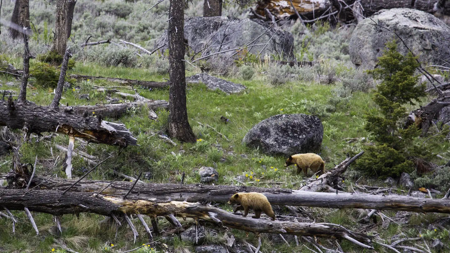
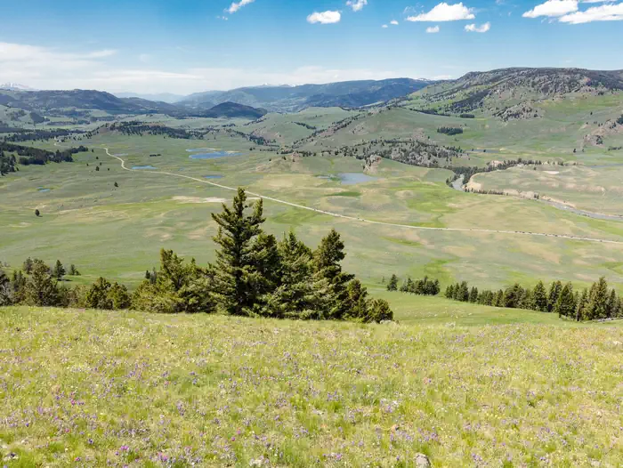
Located in the northern part of Yellowstone National Park, the Tower Junction to Slough Creek road corridor offers access to hiking, fishing, auto touring, and wildlife watching. Beginning August 3, 2022 through September 7, 2022, day use visitors to Slough Creek will need a reservation to visit this section of road.
Day use visitors may obtain a ticket to enter at any time during the morning window (8:00 am – 12:00 pm MT) or during the afternoon window (12:00 pm – 4:00 pm MT). Day use visitors should plan to exit the area by 4:30 pm MT. Visitors must print, download, or screenshot their ticket prior to arriving in Yellowstone. There is no cell service or connectivity at Tower Junction and limited cell service in the park.
Overnight backcountry permit holders and approved commercial guides do not need a reservation to enter the Tower Junction to Slough Creek corridor. Approved commercial guides and backcountry permit holders will need to show their permit or guide card.
Getting there
Slough Creek is located in the northern part of Yellowstone National Park. It is currently accessible from Tower-Roosevelt.
From the East Entrance head west to Fishing Bridge, then north to Canyon Village, and from there continue north over Dunraven Pass to Tower-Roosevelt and Tower Junction.
From South Entrance go north to West Thumb and then head east to Fishing Bridge. From Fishing Bridge head North to Canyon Village and then continue north over Dunraven Pass to Tower-Roosevelt and Tower Junction.
From West Entrance head east to Madison and then North to Norris. From Norris continue north to Mammoth Hot Springs and the east to Tower-Roosevelt or head east from Norris to Canyon Village and from there continue north over Dunraven Pass to Tower-Roosevelt and Tower Junction.
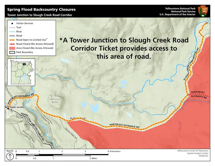
Vehicles cannot access Tower or Slough Creek from the Northeast Entrance/Cooke City or the North Entrance/Gardiner due to flood damage. The Tower Junction-Slough Creek road corridor can only be accessed via the East, South or West entrances.
44.92020, -110.40599 · 44°55'12.7"N 110°24'21.6"W
Typical weather
Typically 78°F in Jul, down to 26°F in Dec.
| Jan | Feb | Mar | Apr | May | Jun | Jul | Aug | Sep | Oct | Nov | Dec | |
|---|---|---|---|---|---|---|---|---|---|---|---|---|
| High °F | 26 | 31 | 41 | 49 | 59 | 68 | 78 | 78 | 69 | 53 | 36 | 26 |
| Low °F | 4 | 6 | 16 | 24 | 31 | 37 | 41 | 39 | 32 | 23 | 13 | 5 |
| Precip in | 1.1 | 0.9 | 1.1 | 1.4 | 1.9 | 2.0 | 1.3 | 1.4 | 1.3 | 1.5 | 1.4 | 1.3 |
1991–2020 averages from the nearest NOAA station, 0.7 mi away — not measured at the facility itself, and elevation can make a real difference over that distance.
Map
More photos
Member photos
Common questions about Tower Junction to Slough Creek Road Corridor Vehicle Day-Use Tickets
- Can you reserve a site at Tower Junction to Slough Creek Road Corridor Vehicle Day-Use Tickets?
- Yes, Tower Junction to Slough Creek Road Corridor Vehicle Day-Use Tickets is reservable through Recreation.gov.
Camping near Tower Junction to Slough Creek Road Corridor Vehicle Day-Use Tickets
- Tower Fall Campground 2.3 mi · Campground · we watch it
- Slough Creek Campground 5.2 mi · Campground · we watch it
- Mammoth Campground (Yellowstone) 14.5 mi · Campground · we watch it
- Eagle Creek Campground - Custer Gallatin National Forest 15.9 mi · Campground · we watch it
- Bear Creek Campground - MT 16.2 mi · Campground · we watch it
- Indian Creek Campground (WY) 16.3 mi · Campground · we watch it
- Snowbank Campground 17.8 mi · Campground · we watch it
- Canyon Campground 13.4 mi · Facility
- Canyon Visitor Education Center 13.5 mi · Facility
- Albright Visitor Center 14.9 mi · Facility
- Timber Camp Campground 15.5 mi · Campground
- Museum of the National Park Ranger 19 mi · Facility
Contact
- Phone 307-344-2109
- Book Recreation.gov
Recreation.gov last updated this record on 2026-02-25.
Facility information and photographs from Recreation.gov (RIDB). SpotOpened is not affiliated with Recreation.gov or any federal agency.
Comments