West Thumb Information Station
Facility · Wyoming ·
Managed by the National Park Service
Yellowstone National Park (National Park) · Open Access
- 7,792 ft
- Elevation
This facility is closed until further notice as of July 2026.
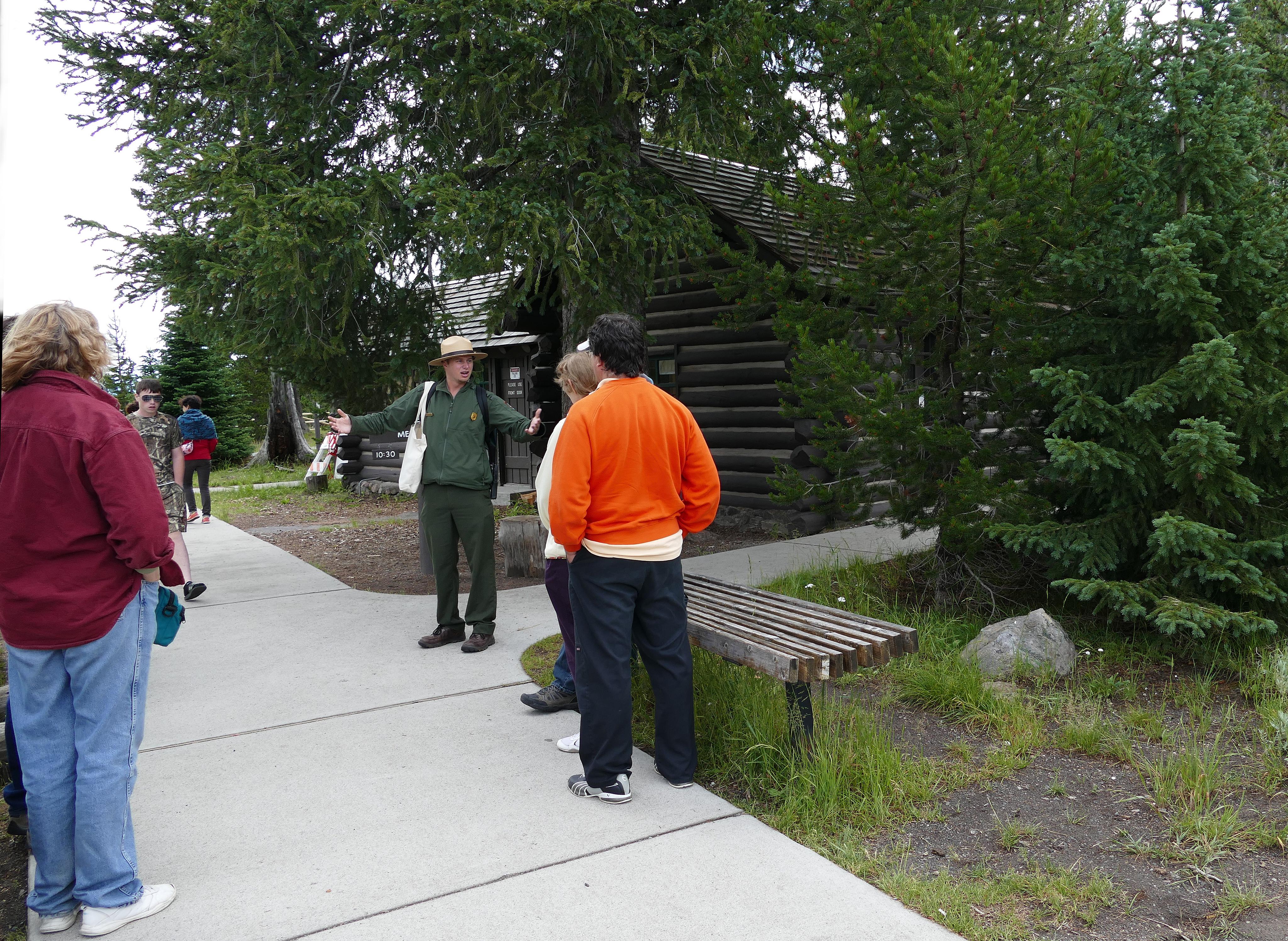
A small facility at the start of the West Thumb Geyser Basin boardwalks, where you can visit with a park ranger and gather park information, shop for souvenirs in the park store, or join a ranger program. The structure was built in 1925 and is an example of historic ranger-station architecture in Yellowstone.
Getting there
A few miles north of Grant Village on the western shore of Yellowstone Lake, West Thumb can be accessed from three different directions.
44.41579, -110.57328 · 44°24'56.8"N 110°34'23.8"W
Typical weather
| Jan | Feb | Mar | Apr | May | Jun | Jul | Aug | Sep | Oct | Nov | Dec | |
|---|---|---|---|---|---|---|---|---|---|---|---|---|
| High °F | — | — | — | — | — | — | — | — | — | — | — | — |
| Low °F | — | — | — | — | — | — | — | — | — | — | — | — |
| Precip in | 3.0 | 2.7 | 3.2 | 3.1 | 2.8 | 2.3 | 1.0 | 1.2 | 1.6 | 2.4 | 3.0 | 3.5 |
1991–2020 averages from the nearest NOAA station, 3.2 mi away — not measured at the facility itself, and elevation can make a real difference over that distance.
Map
Member photos
Common questions about West Thumb Information Station
- Can you reserve a site at West Thumb Information Station?
- No. West Thumb Information Station is not reservable through Recreation.gov, so sites are first-come, first-served or booked elsewhere.
Camping near West Thumb Information Station
- Lewis Lake Campground 9.6 mi · Campground · we watch it
- Yellowstone Non-Commercially Guided Snowmobile Access Program 14.2 mi · Permit · we watch it
- Grant Village Campground 1.6 mi · Facility
- Grant Visitor Center 1.7 mi · Facility
- Bridge Bay Campground 10.6 mi · Facility
- Lake Yellowstone Hotel and Cabins 12.6 mi · Facility
- Old Faithful Visitor Education Center 13 mi · Facility
- Old Faithful Inn 13.1 mi · Facility
- Fishing Bridge Visitor Center and Trailside Museum 14 mi · Facility
- Fishing Bridge RV Park 14.4 mi · Facility
- Madison Information Station and Trailside Museum 21.1 mi · Facility
- Madison Campground 21.3 mi · Facility
Contact
- Phone (307) 344-7381
- Email YELL_Information@nps.gov
- Info Recreation.gov
Recreation.gov last updated this record on 2026-07-13.
Facility information and photographs from Recreation.gov (RIDB). SpotOpened is not affiliated with Recreation.gov or any federal agency.
Comments