Alkali Draw WSA
Facility · Wyoming ·
Managed by the Bureau of Land Management
Rock Springs Field Office (Bureau of Land Management WY) · Open Access
- 7,164 ft
- Elevation
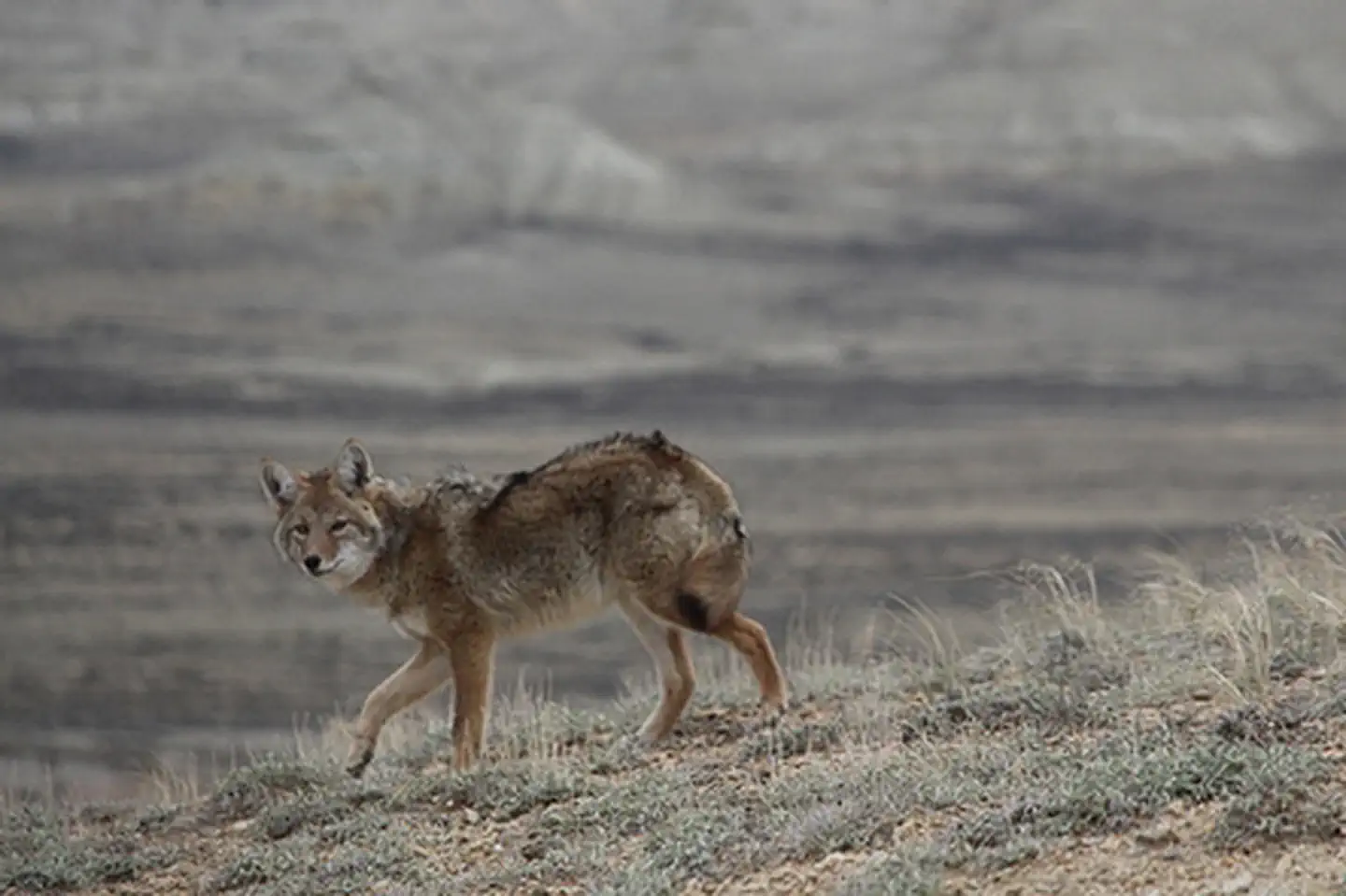
The Alkali Draw WSA encompasses 16,990 acres of BLM-administered land and 640 acres of state land. The study area includes a portion of the Red Desert Area. Alkali Draw in the main drainage running eastwardly from the Bush Rim and Steamboat Mountain. A series of smaller draws creates a washboard topographic effect. Big sagebrush and grease wood are the principle vegetative species.
This area offers primitive and unconfined recreation such as hiking, horseback riding, camping, photography and sightseeing. Some small caves are found in the area and offer opportunity for recreation. The rims and cliff escarpments provide some non-technical climbing opportunities and challenging hikes. This is a fee-free area. Portions of the boundary road area ADA accessible.
Getting there
State Highway 28 east from Farson 15 miles turn south on county road 4-21. In approximately 25 miles the county road will become the north boundary.
42.06842, -108.83029 · 42°4'6.3"N 108°49'49.0"W
Typical weather
Typically 78°F in Jul, down to 28°F in Dec.
| Jan | Feb | Mar | Apr | May | Jun | Jul | Aug | Sep | Oct | Nov | Dec | |
|---|---|---|---|---|---|---|---|---|---|---|---|---|
| High °F | 28 | 29 | 38 | 47 | 59 | 70 | 78 | 77 | 67 | 53 | 37 | 28 |
| Low °F | 2 | 4 | 12 | 19 | 28 | 35 | 41 | 38 | 31 | 23 | 12 | 3 |
| Precip in | — | — | — | — | — | — | — | — | — | — | — | — |
1991–2020 averages from the nearest NOAA station, 27.6 mi away — not measured at the facility itself, and elevation can make a real difference over that distance.
Map
Member photos
Common questions about Alkali Draw WSA
- Can you reserve a site at Alkali Draw WSA?
- No. Alkali Draw WSA is not reservable through Recreation.gov, so sites are first-come, first-served or booked elsewhere.
Camping near Alkali Draw WSA
- Tri-Territory Site 6.6 mi · Facility
- The Pinnacles Geologic Site 6.7 mi · Facility
- South Pinnacles WSA 6.9 mi · Facility
- Oregon Buttes WSA 12 mi · Facility
- North Table Rock Camping Area 13.8 mi · Facility
- Whitehorse Creek WSA 14.7 mi · Facility
- Honeycomb Buttes WSA 14.8 mi · Facility
- Crookston Ranch Cultural Site 15.1 mi · Facility
- East Sand Dunes WSA 15.2 mi · Facility
- Cedar Canyon Petroglyphs Interpretive Site 18.2 mi · Facility
- False Parting of the Ways 19 mi · Facility
- Pacific Creek Interp Site 19.2 mi · Facility
Contact
- Phone 307-352-0256
- Email BLM_WY_Rock_Springs_WYmail@blm.gov
- Info Recreation.gov
Recreation.gov last updated this record on 2026-02-25.
Facility information and photographs from Recreation.gov (RIDB). SpotOpened is not affiliated with Recreation.gov or any federal agency.
Comments