Scaler Guard Station
Campground · Wyoming · 2 bookable sites ·
Managed by the USDA Forest Service
Wyoming Range Withdrawal Area Special Designated Area (Special Designated Area) · Restricted Access
- 2
- Bookable sites
- up to 6
- People per site
- 8,000 ft
- Elevation
Overview
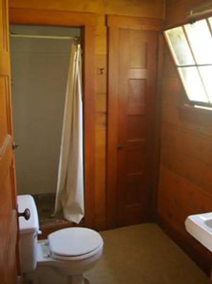
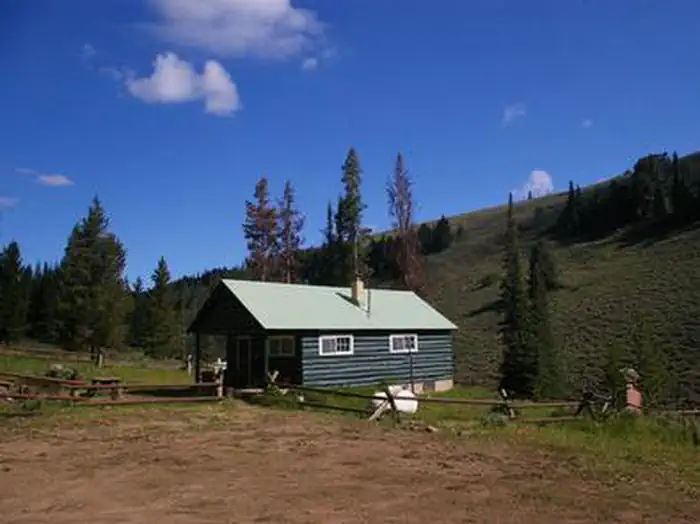
Historic Scaler Guard Station, located 78 miles north of Kemmerer, Wyoming, provides an excellent hideaway for cabin camping enthusiasts. The cabin allows pets and horses. Hiking, biking, and horseback riding trails are in the vicinity.Constructed by the Civilian Conservation Corps, the former ranger guard station dates back to 1937.
Recreation
The nearby Absaroka Ridge Trailhead leads hikers and horseback riders along Fontenelle Creek, and provides access into Pomeroy Basin. This trail also attracts big game hunters. Other trails throughout the LaBarge Creek area are ideal for mountain bikers and horse travel.Facilities
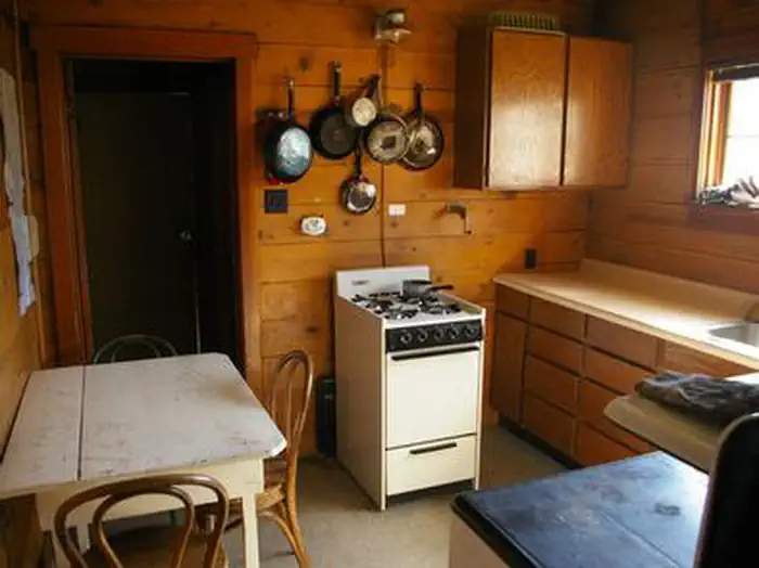
The three-room guard station is a traditional 1930s-era forest cabin that sleeps six guests on three bunkbeds with mattresses. A picnic table and campfire ring are located outside in front of the cabin.
There is no running water available at this cabin. The cabin is equipped with a propane stove and oven, a propane refrigerator, lights and a wood stove. A vault toilet is located behind the structure. Some dishes, pots, pans and utensils are provided, however the presence of these items is not guaranteed.
No electricity, linens or bedding are provided. In winter, no drinking water is available, so guests should bring plenty for drinking and cooking. Recommended items to bring include dish soap, dish towerls, toilet paper, gargbag bags and a flashlight. If firewood is on site, this is a courtesy but is not guarenteed. If wood is available, please use only what you need. Always be prepared to collect wood locally or bering to site from local resources.
Natural Features
Sagebrush and grasses cover the area behind the cabin. A few pines are dispersed in the vicinity, but shade by the cabin is limited.Moose, elk, eagles and sandhill cranes are among the wildlife likely to be seen. An abundance of wildflowers color the landscape in summer.
The Bridger-Teton National Forest offers more than 3.4 million acres of public lands for outdoor recreation. With its pristine watersheds, abundant wildlife and immense wildlands, the forest comprises a large part of the Greater Yellowstone Ecosystem, the largest intact ecosystem in the lower 48 states.
The facts
- 2 bookable sites
- Up to 6 people per site
- Loops: SCGS, Scan & Pay
Site types
- 2 Cabin Nonelectric
Amenities
- Campfires allowed
- Fire pits
- Picnic tables
- Shade
- Pets allowed
Not recorded upstream: electric hookups, water hookups, sewer hookups, grills.
2 campsites at Scaler Guard Station
Check-in 2:00 PM · Check-out 12:00 PM
| Site | Loop | Type | Entry | Surface | Max rig | People | |
|---|---|---|---|---|---|---|---|
| CABIN | SCGS | Cabin Nonelectric | — | Gravel | — | 6 | 🐾 |
| S&P Site Type 0 | Scan & Pay | Cabin Nonelectric | — | Gravel | — | 6 | 🐾 |
Getting there
From Kemmerer, WY, follow US-189 north to the junction of La Barge Road, about a mile south of the town of La Barge. Turn left on La Barge Road and drive 25 miles to the forest boundary. If coming from Big Piney, WY go south on US-189 then turn right about a mile south of the town of LaBarge onto LaBarge Rd. (The first 11 miles of this road are paved.) Continue on La Barge Road/Forest Road 10138 for about 4 more miles to the Scaler Guard Station Road/Forest Road 10013 junction and turn left. Drive 1 mile and turn right. Scaler Guard Station is adjacent to the road on the right. From Afton, WY, follow US-89 south about 14.5 miles to Smith's Fork Road/Forest Road 10072 junction. Turn left at the junction and follow Smith's Fork Road/Forest Road 10072 for 23 miles to the Tri-Basin Divide. Turn right at the Tri-Basin Divide junction onto Forest Road 10138. Drive south about 10 miles to the Scaler Guard Station Road/Forest Road 10013 junction and turn right. Drive 1 mile and turn right. Scaler Guard Station is adjacent to the road on the right.
42.43000, -110.58167 · 42°25'48.0"N 110°34'54.0"W
Typical weather
| Jan | Feb | Mar | Apr | May | Jun | Jul | Aug | Sep | Oct | Nov | Dec | |
|---|---|---|---|---|---|---|---|---|---|---|---|---|
| High °F | — | — | — | — | — | — | — | — | — | — | — | — |
| Low °F | — | — | — | — | — | — | — | — | — | — | — | — |
| Precip in | 2.8 | 2.6 | 2.1 | 1.9 | 2.1 | 1.3 | 0.9 | 0.8 | 1.1 | 1.7 | 2.2 | 2.8 |
1991–2020 averages from the nearest NOAA station, 4.9 mi away — not measured at the facility itself, and elevation can make a real difference over that distance.
Map
More photos
Member photos
Common questions about Scaler Guard Station
- Can you reserve a site at Scaler Guard Station?
- Yes, Scaler Guard Station is reservable through Recreation.gov.
- How many campsites does Scaler Guard Station have?
- 2 sites.
- Are pets allowed at Scaler Guard Station?
- Yes, pets are allowed at Scaler Guard Station.
- Are campfires allowed at Scaler Guard Station?
- Campfires are allowed at Scaler Guard Station. Check for a current fire restriction before you go.
Also listed by
Scaler Guard Station also appears in other federal recreation data. Facts below are matched by name and location, not confirmed by Scaler Guard Station's operator.
Camping near Scaler Guard Station
- Snyder Guard Station (Wy) 5.2 mi · Campground · we watch it
- La Barge Guard Station 8.6 mi · Campground · we watch it
- Kelley Guard Station 15.9 mi · Campground · we watch it
- Cazier Cabin 17.6 mi · Campground · we watch it
- Lake Alice Campground 8.5 mi · Campground
- LaBarge Guard Station 8.7 mi · Campground
- Hobble Creek Campground 10.6 mi · Campground
- Middle Piney Lake Campground 12 mi · Campground
- Sacajawea Campground 13.3 mi · Campground
- Hams Fork Campground 14.5 mi · Campground
- Big Spring Scenic Backway 16.1 mi · Facility
- Smith Fork Area 17.1 mi · Facility
Contact
- Phone 307-877-4415
- Book Recreation.gov
Recreation.gov last updated this record on 2026-07-15.
Facility information and photographs from Recreation.gov (RIDB). SpotOpened is not affiliated with Recreation.gov or any federal agency.
Comments