Nash Fork
Campground · Wyoming · 24 bookable sites ·
Managed by the USDA Forest Service
- 24
- Bookable sites
- up to 8
- People per site
- 14
- Accessible sites
Overview
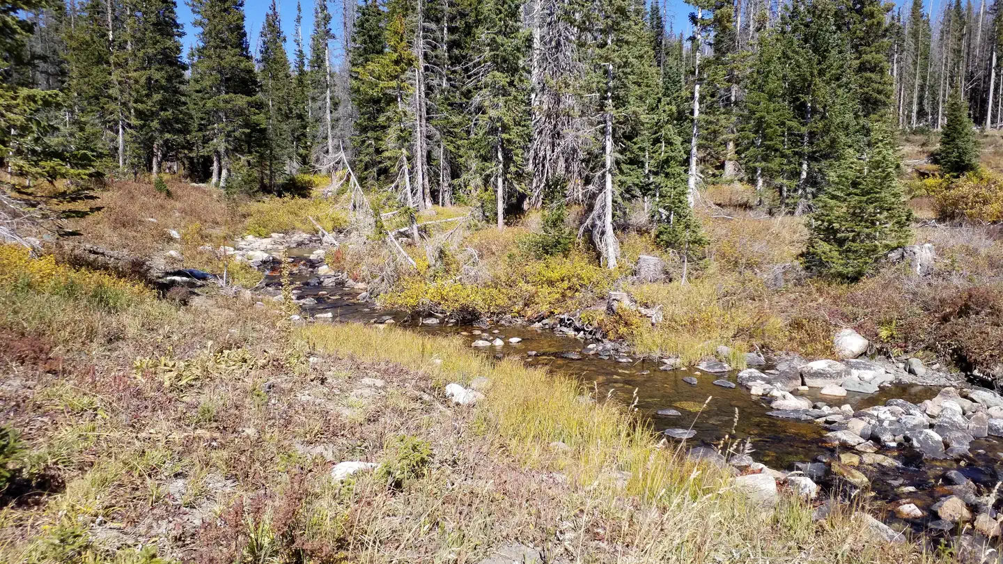
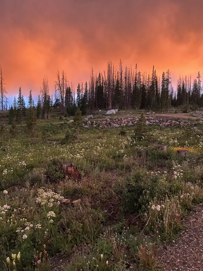
This campground was decommissioned for 10 years due to pine beetle infestation. Through a partnership with Common Outdoor Ground, Forest Service employees were able to clean up the campground and get it in working order in 2021. The campground still doesn't have many trees, but it is just as beautiful as before. Nearly 1,000 seedlings were planted in 2025.
It was recently closed in 2023 for a renovation to make the campground more accessible. Areas that were addressed for accessibility include campfire rings, site paths to connect spaces, and ramps for easier grade changes. Picnic tables were placed with enough room for wheelchair access but since they are not bolted down they may have moved. These changes were not implemented at every site, but wherever possible.
There are 24 sites with access to a picnic table, fire ring, trash collection, and vault toilets. The campground is at 10,200ft and convenient to the Snowy Range Scenic Byway (State Highway 130).
This campground will have a mix of reservation sites and first-come, first-served sites for the 2026 season. If you are not reserving your site, you may be able to pay for your campsite(s) by cash or check once you are at the campground.
Modifications on reservations are not allowed for this site. This is due to limited capacity to update reservation placards when concerning last minute modifications as well as limited functionality with the modifications feature in recreation.gov which has only an ON or OFF toggle for site managers and no feature allowing modifications up until a certain time frame.
Recreation
Fishing opportunities are plenty with 102 recreational lakes in this area. An extensive network of trails have multiple points of entry along Forest Service Road 317 which will take you to Brooklyn Lake, located 3 miles north of campground.
Facilities
There are 24 sites with access to a picnic table, fire ring, trash collection, and vault toilets. No water is availale in this campground, please pack your own in. No electrical hook-ups, water hook-ups, or black water hook-ups are available.
Natural Features
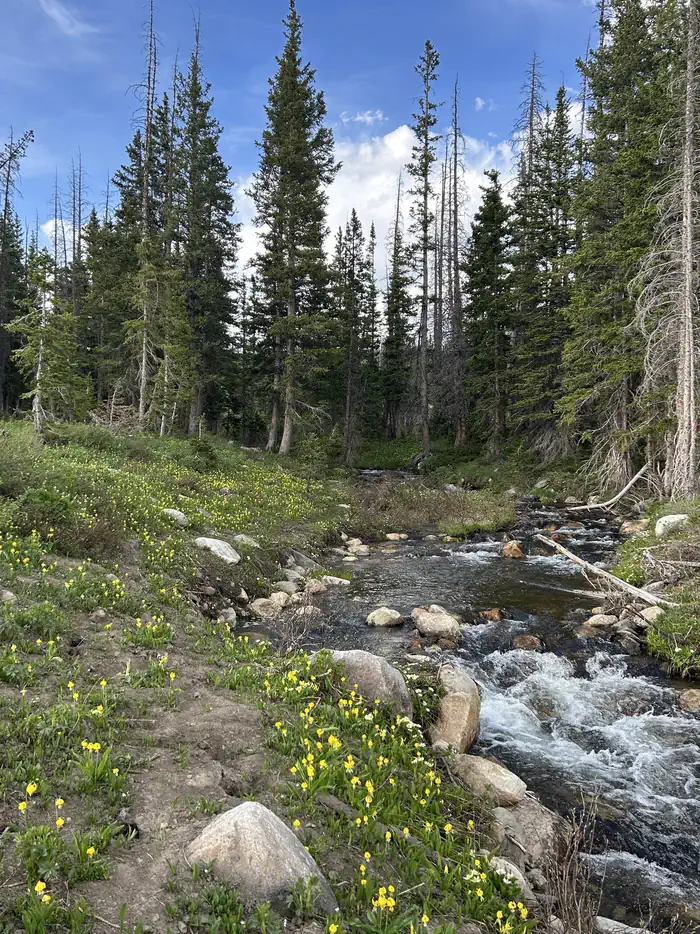
Nash Fork Creek meanders next to the campground. There are 102 recreational lakes in this area, with an extensive network of trails linking them including Brooklyn Lake, which is located 3 miles north of campground.
The Medicine Bow-Routt National Forests and Thunder Basin National Grassland encompass nearly 3 million acres from central and northeastern Wyoming to north-central Colorado.
Black bear, bobcat, coyote, elk, marmots, moose, and mule deer are just some of the many animals that inhabit these rich and diverse lands.
Contact Info
For facility specific information, please call (307) 745-2300.Nearby Attractions
The campground is 4 miles from the Libby Flats Observation Area. Visitors can find many more outdoor opportunities in the surrounding Medicine Bow-Routt National Forest including hiking, biking, camping, horseback riding, fishing, hunting, sightseeing, and winter sports.
Charges & Cancellations
Modifications on reservations are not allowed for this site. This is due to limited capacity to update reservation placards when concerning last minute modifications as well as limited functionality with the modifications feature in recreation.gov which has only an ON or OFF toggle for site managers and no feature allowing modifications up until a certain time frame.
The facts
- 24 bookable sites
- 28 sites in total, including non-bookable
- 14 accessible sites
- Up to 8 people per site
- Loops: Nash Fork, Scan and Pay
Site types
- 24 Standard Nonelectric
- 4 Management
Amenities
- Fire pits
- Picnic tables
- Pets allowed
- Water hookups — not available
Not recorded upstream: electric hookups, sewer hookups, campfires allowed, grills, shade.
28 campsites at Nash Fork
Check-in 02:00 PM · Check-out 01:00 PM
| Site | Loop | Type | Entry | Surface | Max rig | People | |
|---|---|---|---|---|---|---|---|
| 01 | Nash Fork | Standard Nonelectric | Back In | Gravel | — | 8 | ♿ 🐾 |
| 02 | Nash Fork | Standard Nonelectric | Back In | Gravel | — | 8 | ♿ 🐾 |
| 03 | Nash Fork | Management | Pull Through | Gravel | — | 8 | 🐾 |
| 04 | Nash Fork | Standard Nonelectric | Back In | Gravel | — | 8 | 🐾 |
| 05 | Nash Fork | Standard Nonelectric | Back In | Gravel | — | 8 | 🐾 |
| 06 | Nash Fork | Standard Nonelectric | Pull Through | Gravel | — | 8 | 🐾 |
| 07 | Nash Fork | Standard Nonelectric | Back In | Gravel | — | 8 | ♿ 🐾 |
| 08 | Nash Fork | Standard Nonelectric | Back In | Gravel | — | 8 | 🐾 |
| 09 | Nash Fork | Standard Nonelectric | Parallel | Gravel | — | 8 | ♿ 🐾 |
| 10 | Nash Fork | Standard Nonelectric | Back In | Gravel | — | 8 | ♿ 🐾 |
| 11 | Nash Fork | Standard Nonelectric | Back In | Gravel | — | 8 | 🐾 |
| 12 | Nash Fork | Standard Nonelectric | Back In | Gravel | — | 8 | ♿ 🐾 |
| 13 | Nash Fork | Standard Nonelectric | Back In | Gravel | — | 8 | 🐾 |
| 14 | Nash Fork | Standard Nonelectric | Back In | Gravel | — | 8 | ♿ 🐾 |
| 15 | Nash Fork | Standard Nonelectric | Back In | Gravel | — | 8 | ♿ 🐾 |
| 16 | Nash Fork | Standard Nonelectric | Back In | Gravel | — | 8 | ♿ 🐾 |
| 17 | Nash Fork | Standard Nonelectric | Back In | Gravel | — | 8 | 🐾 |
| 18 | Nash Fork | Standard Nonelectric | Back In | Gravel | — | 8 | ♿ 🐾 |
| 19 | Nash Fork | Standard Nonelectric | Back In | Gravel | — | 8 | 🐾 |
| 20 | Nash Fork | Standard Nonelectric | Back In | Gravel | — | 8 | 🐾 |
| 21 | Nash Fork | Standard Nonelectric | Back In | Gravel | — | 8 | ♿ 🐾 |
| 22 | Nash Fork | Standard Nonelectric | Pull Through | Gravel | — | 8 | ♿ 🐾 |
| 23 | Nash Fork | Standard Nonelectric | Back In | Gravel | — | 8 | ♿ 🐾 |
| 24 | Nash Fork | Standard Nonelectric | Back In | Gravel | — | 8 | ♿ 🐾 |
| ScanPay 2 | Scan and Pay | Management | — | — | — | — | |
| ScanPay 3 | Scan and Pay | Management | — | — | — | — | |
| ScanPay 4 | Scan and Pay | Management | — | — | — | — | |
| Standard | Scan and Pay | Standard Nonelectric | — | — | — | — |
Getting there
From Laramie, travel west 25 miles to Centennial on WY 130; Nash Fork is west 7.8 miles from Centennial to Brooklyn Lake Rd/ Forest Route 317. Turn right onto FR 317 and go 0.1 miles then turn left into campground.
More photos
Member photos
Common questions about Nash Fork
- Can you reserve a site at Nash Fork?
- Yes, Nash Fork is reservable through Recreation.gov.
- How many campsites does Nash Fork have?
- 28 sites in total, of which 24 can be booked.
- Are pets allowed at Nash Fork?
- Yes, pets are allowed at Nash Fork.
- Does Nash Fork have hookups?
- No hookups are recorded here.
Contact
- Phone N/A
- Book Recreation.gov
Recreation.gov last updated this record on 2026-07-24.
Facility information and photographs from Recreation.gov (RIDB). SpotOpened is not affiliated with Recreation.gov or any federal agency.
Comments