Bessemer Bend
Facility · Wyoming ·
Managed by the Bureau of Land Management
Casper Field Office (Bureau of Land Management WY) · Open Access
- 5,183 ft
- Elevation
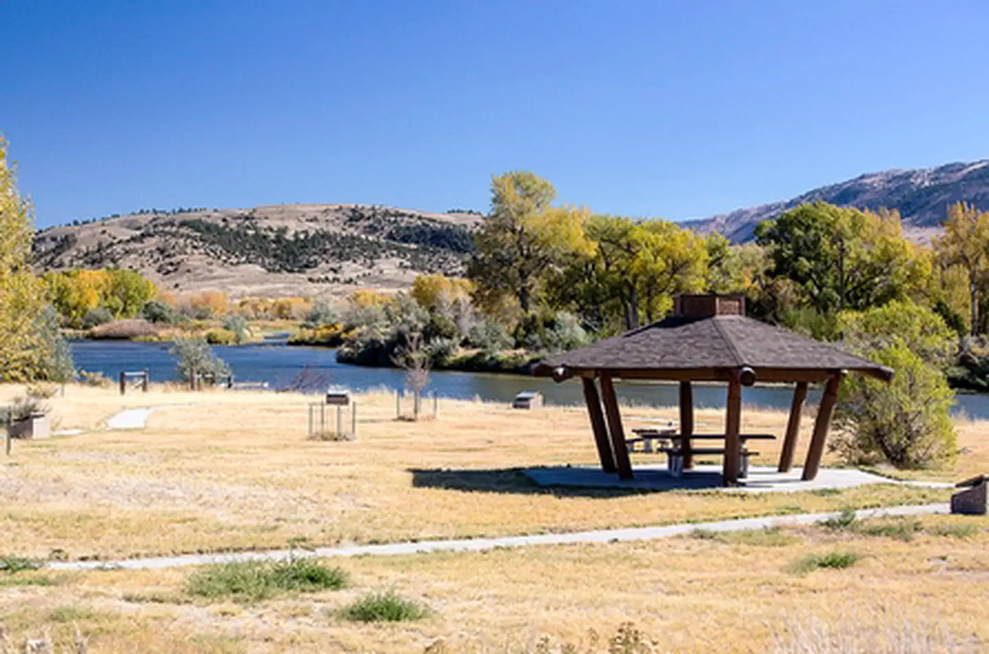
The distinctive Red Buttes stand above Bessemer Bend, the last fording site of the North Platte River on the Oregon Trail. This river, which the emigrants had followed for hundreds of miles, now turned to the south and became impassable. Toll ferries and bridges downstream of the Bend were established after 1847, but emigrants, including the handcart companies of 1856, who did not want to pay the tolls, used Bessemer Bend as a low-water crossing.
There is a BLM interpretive site at the crossing. This site has a parking area, picnic tables, a vault toilet and an interpretive trail. It is a non-fee area and is ADA accessible.
There is a BLM interpretive site at the crossing. This site has a parking area, picnic tables, a vault toilet and an interpretive trail. It is a non-fee area and is ADA accessible.
Getting there
Travel 8.1 miles south of Casper from CY Ave./Wyoming Blvd. intersection on WYO-220, turn right and take the Bessemer Bend Road west for 2.1 miles to the bridge.
42.77328, -106.53119 · 42°46'23.8"N 106°31'52.3"W
Typical weather
| Jan | Feb | Mar | Apr | May | Jun | Jul | Aug | Sep | Oct | Nov | Dec | |
|---|---|---|---|---|---|---|---|---|---|---|---|---|
| High °F | — | — | — | — | — | — | — | — | — | — | — | — |
| Low °F | — | — | — | — | — | — | — | — | — | — | — | — |
| Precip in | 0.8 | 1.3 | 1.6 | 2.2 | 2.5 | 1.4 | 1.1 | 1.0 | 1.1 | 1.6 | 0.9 | 1.1 |
1991–2020 averages from the nearest NOAA station, 1.1 mi away — not measured at the facility itself, and elevation can make a real difference over that distance.
Map
Member photos
Common questions about Bessemer Bend
- Can you reserve a site at Bessemer Bend?
- No. Bessemer Bend is not reservable through Recreation.gov, so sites are first-come, first-served or booked elsewhere.
Camping near Bessemer Bend
- Poison Spider OHV Park 5 mi · Facility
- Buffaloberry Campground 7.8 mi · Campground
- Chalk Bluffs Campground 8.2 mi · Campground
- Golden Currant Campground 9.1 mi · Campground
- Whitetail Day Use Area 9.1 mi · Facility
- National Historic Trails Interpretive Center 11.7 mi · Facility
- Ledge Creek 15.1 mi · Facility
- Lodgepole Campground 15.1 mi · Campground
- Rim Campground 15.2 mi · Campground
- Pete's Draw Campground 15.5 mi · Campground
- The Redds Day Use Area 16 mi · Facility
- Goldeneye Wildlife 19 mi · Facility
Contact
- Phone 307-261-7600
- Email casper_Wymail@blm.gov
- Info Recreation.gov
Recreation.gov last updated this record on 2026-02-25.
Facility information and photographs from Recreation.gov (RIDB). SpotOpened is not affiliated with Recreation.gov or any federal agency.
Comments